Marina is a neighborhood within San Francisco's 7-mile by 7-mile city limits. It is named after the marina for private pleasure boats that runs along much of its shoreline, although it is not the only marina in the city. The neighborhood is mostly located on bay fill so it is a low-lying area on the North edge of the city that fronts San Francisco Bay. The area is covered with a grid of streets about 13 blocks long and 11 blocks wide, mostly occupied by a mix of historic residential buildings; some are detached homes, while many others are connected lowrise blocks of homes or apartments. A majority of the buildings date from the 1920's, when the area nearest the shore was redeveloped after being the site of the 1915 Panama-Pacific International Exposition; therefore, Mediterranean Revival and Art Deco Zig-zag Moderne styles are prevalent. The waterfront with its marina and green spaces is very popular; the three commercial streets that run East-West through the neighborhood are also busy. I consider the boundaries of the neighborhood to be Green Street on the South; Lyon Street on the West; Van Ness Street on the East; and of course the waterfront on the North. I include the area known as Cow Hollow in Marina; it is a slightly higher elevation than the rest, but its location at the foot of Pacific Heights to the South has more in common with the former than the latter. The other neighbors are the Presidio to the West and Fisherman's Wharf to the East.
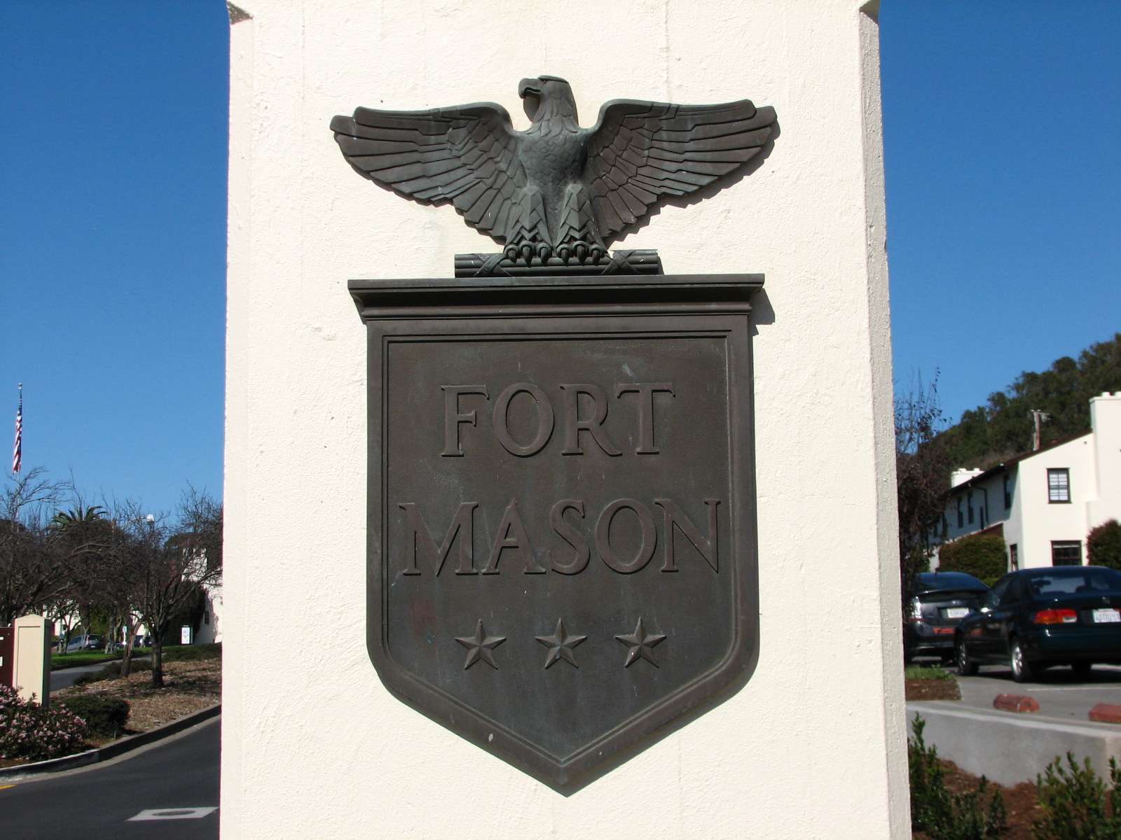
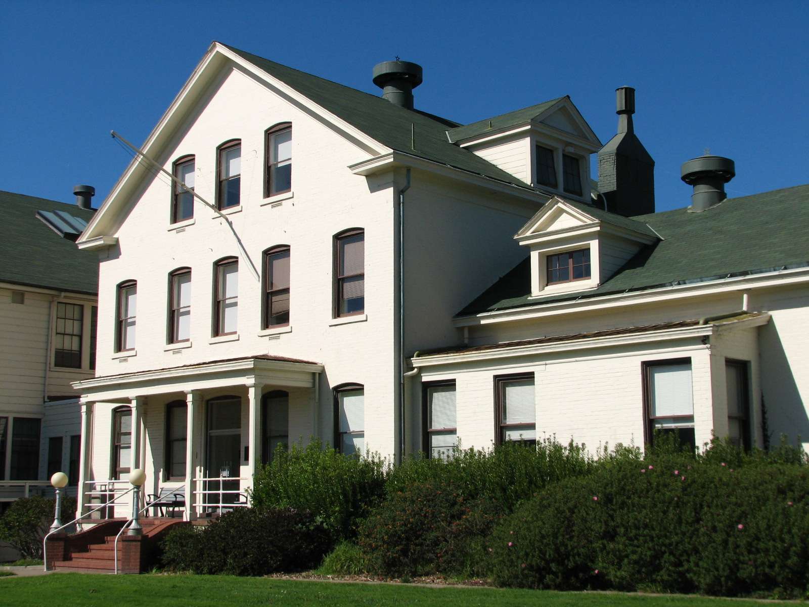
Fort Mason:
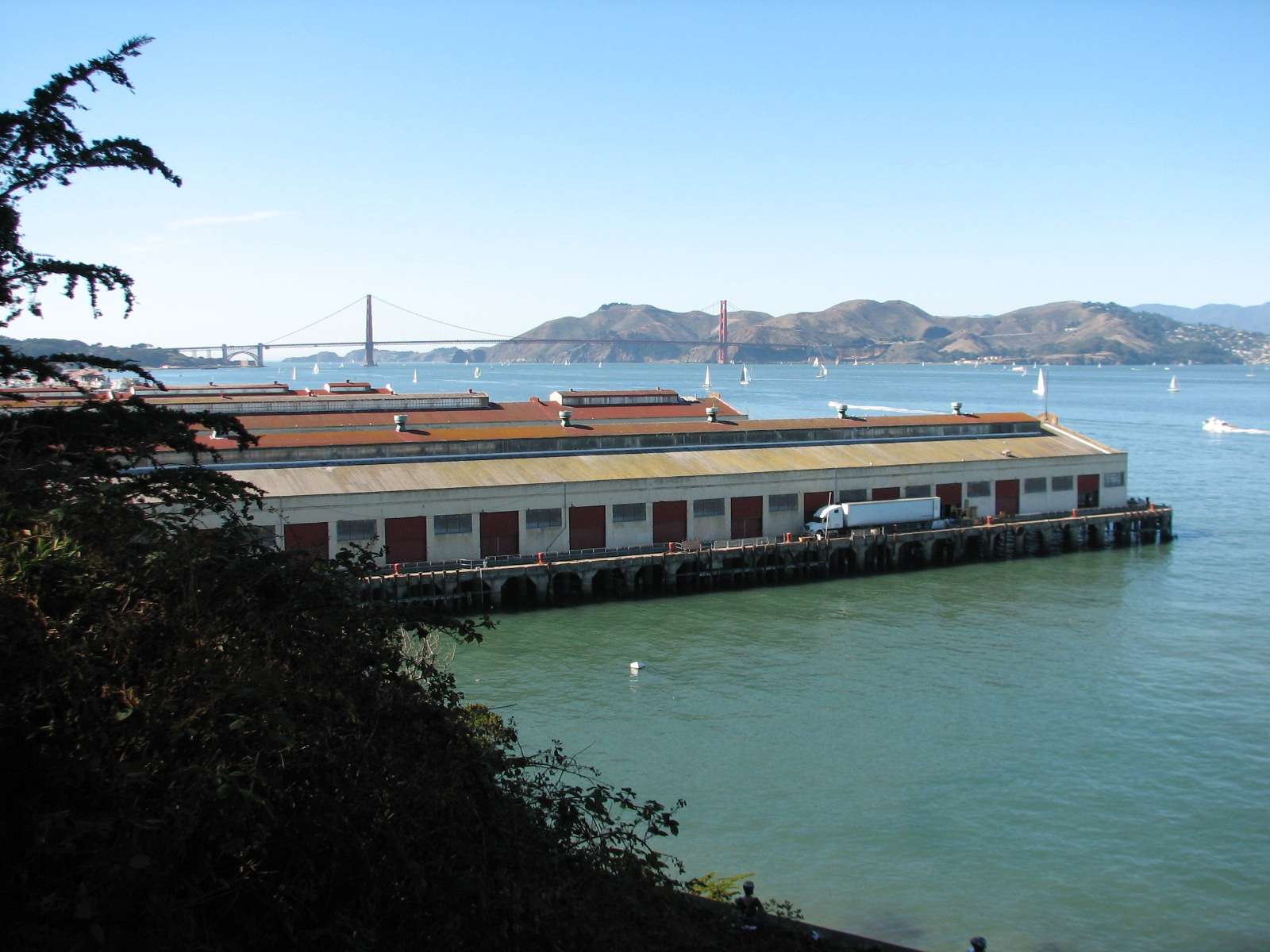
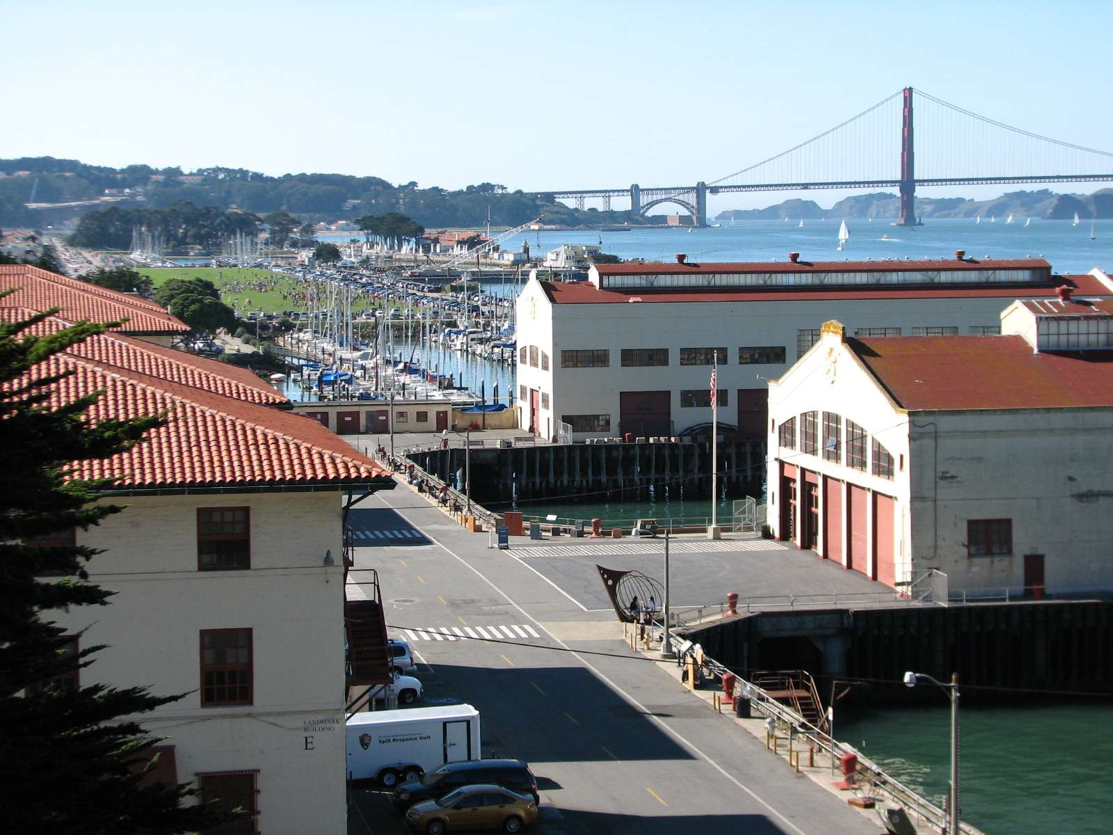
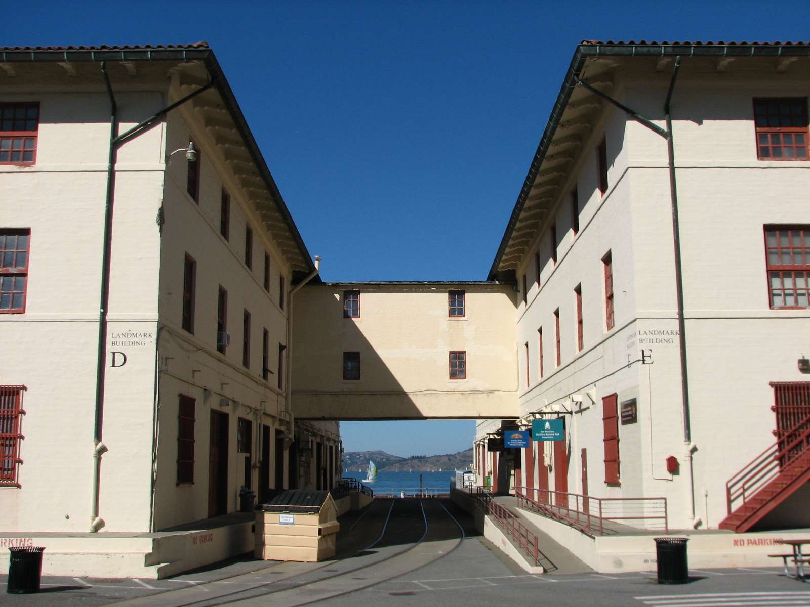
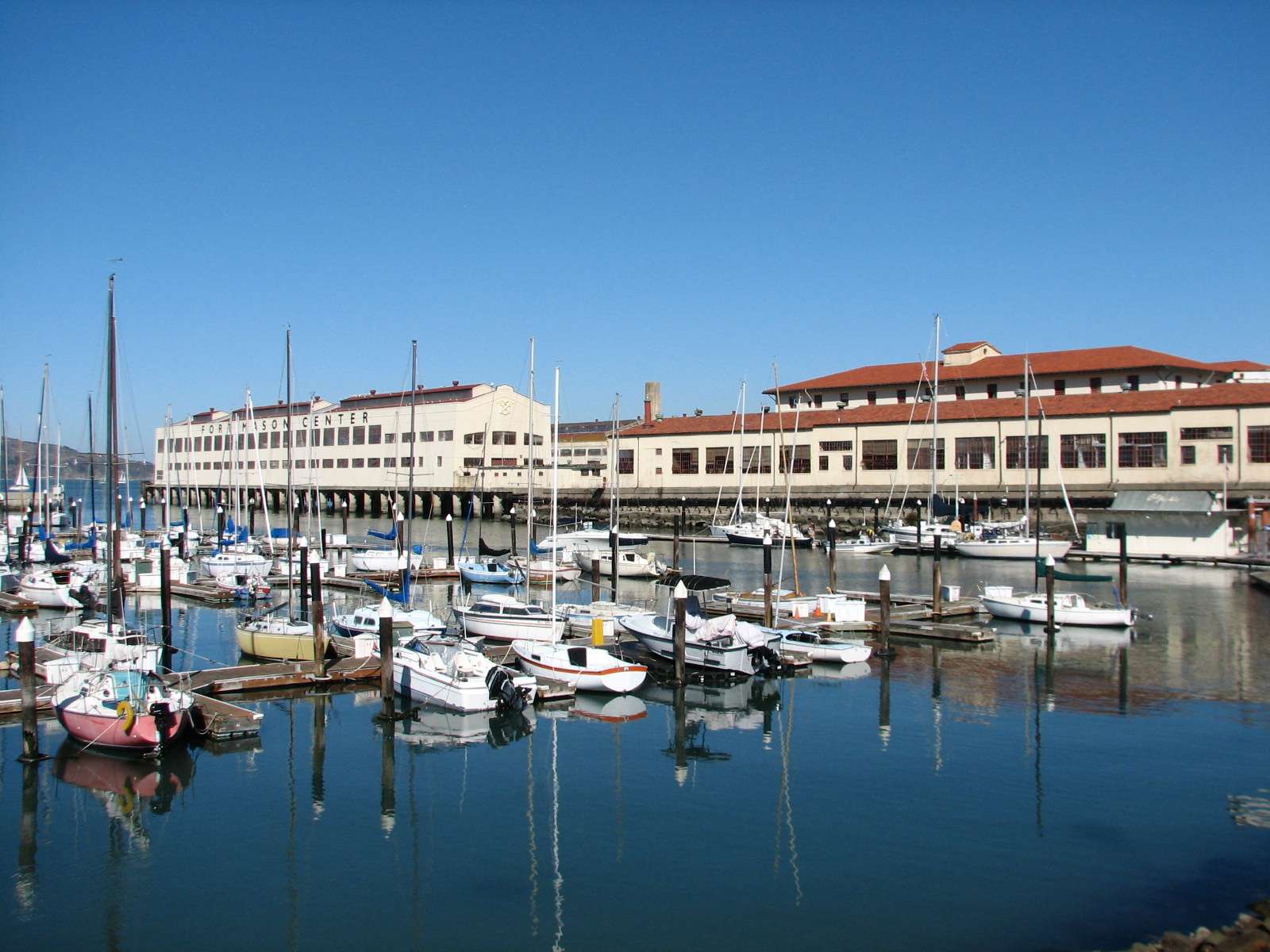
This historic army post and port is on a higher promontory on the shore, forming a natural barrier between Marina and Fisherman's Wharf neighborhoods. It is now part of the Golden Gate National Recreation Area and is open to all. It was first used by the army during the Civil War, but was primarily developed in its present state in the early 20th century. Today, its smaller historic buildings mostly house park service offices and residents while the large pier buildings house a wide assortment of non-profit organizations.
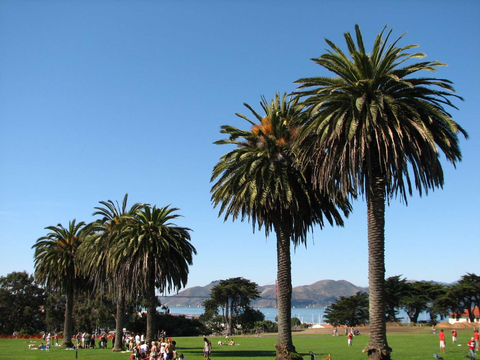
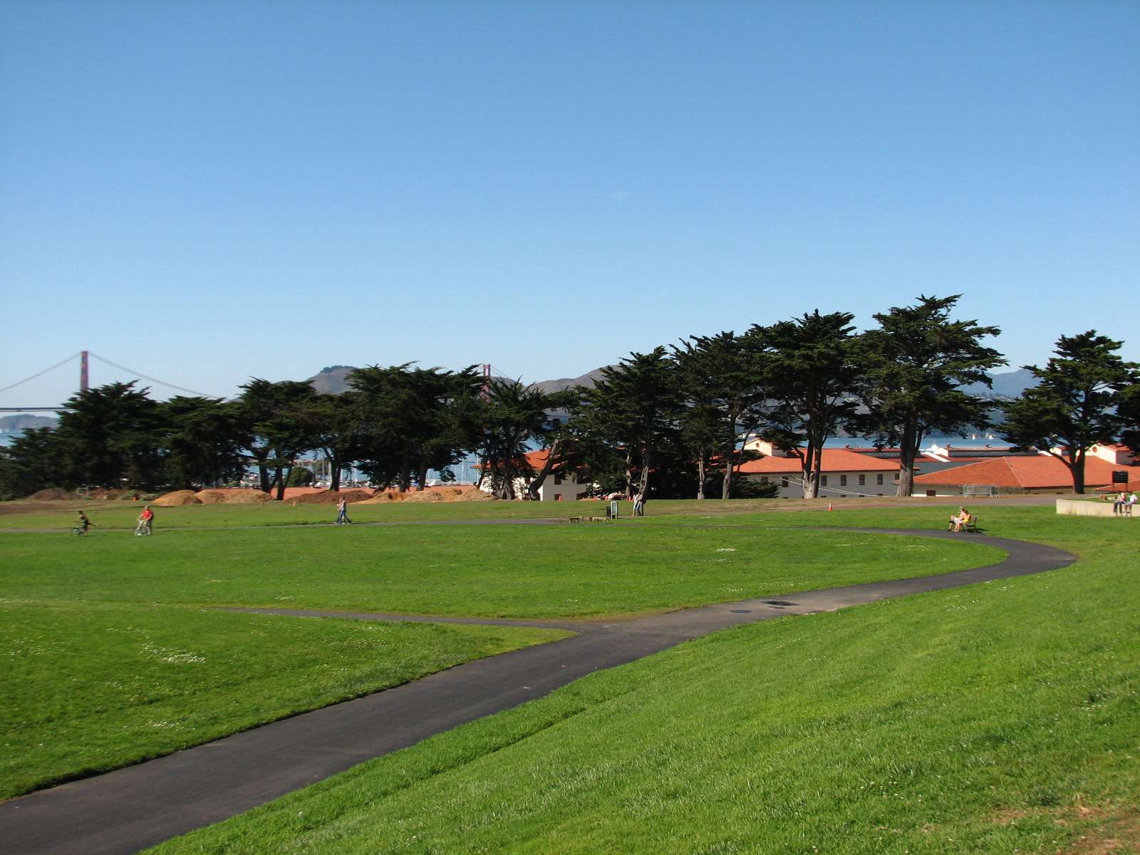

Marina Green:
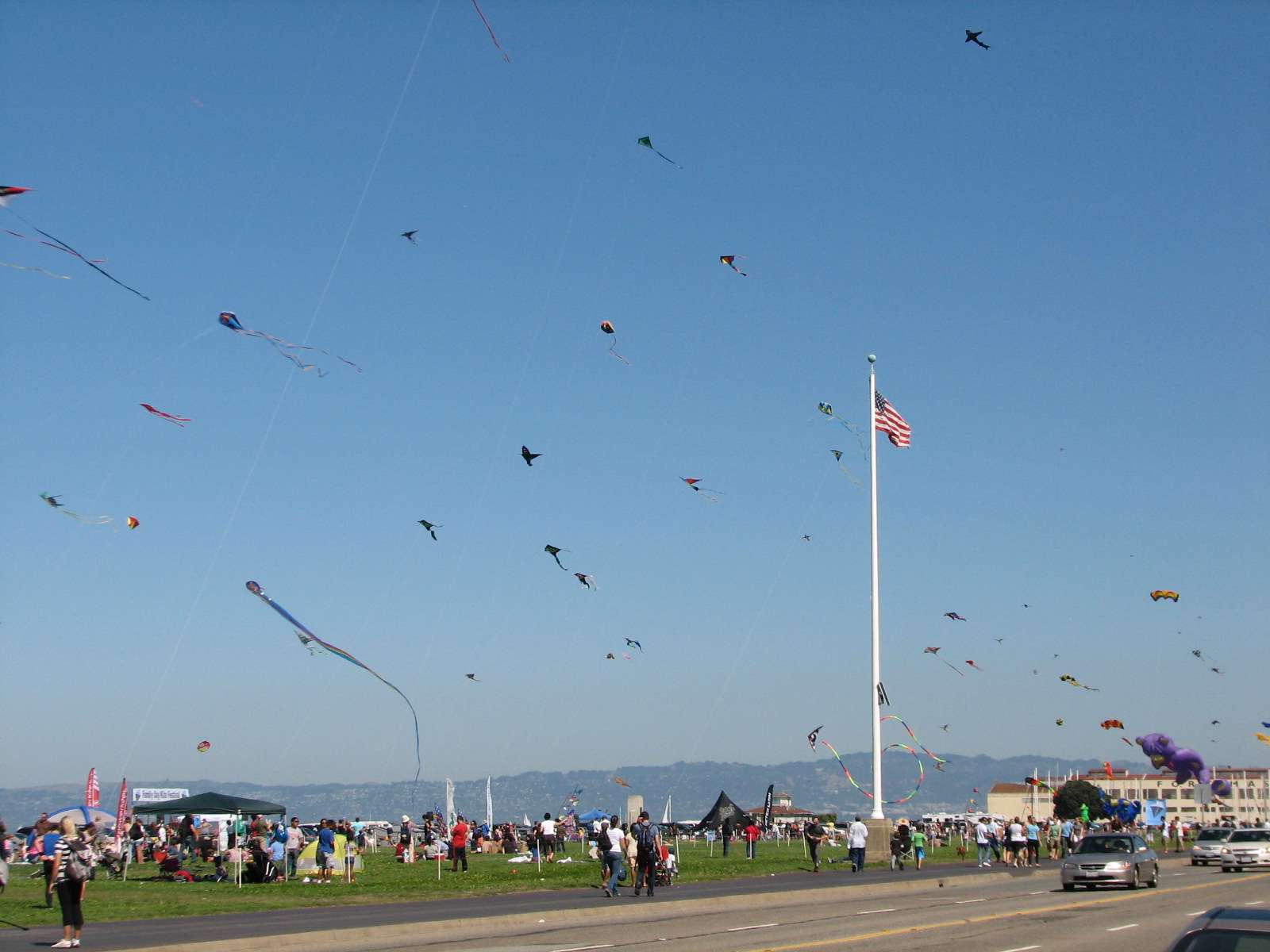
This large lawn is located between the marina and the nearby homes. This photo is from a kite festival in the fall (kite-flying is not this popular most of the time but a nice breeze is common here).
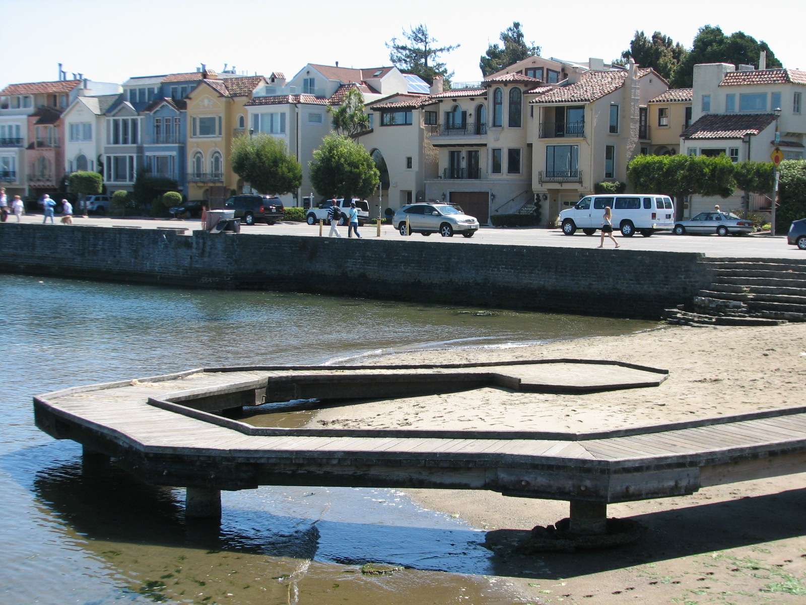
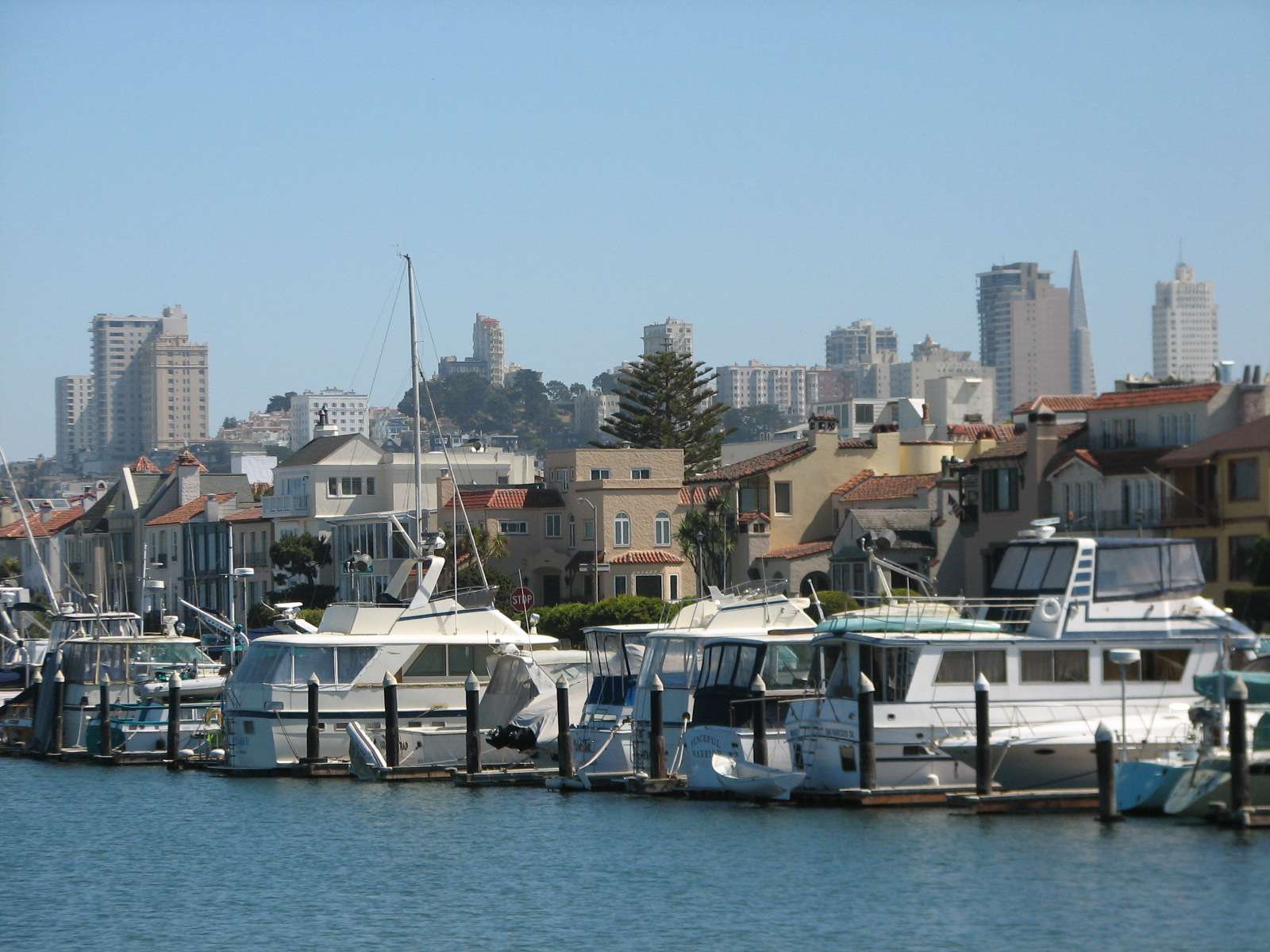
Marina:


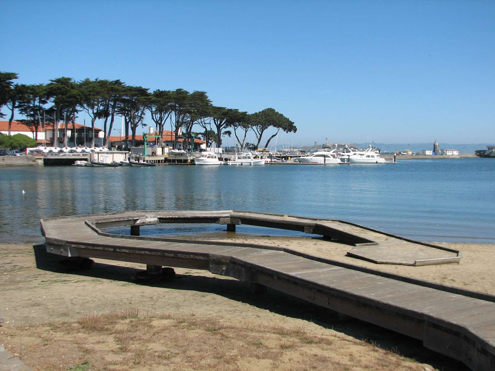
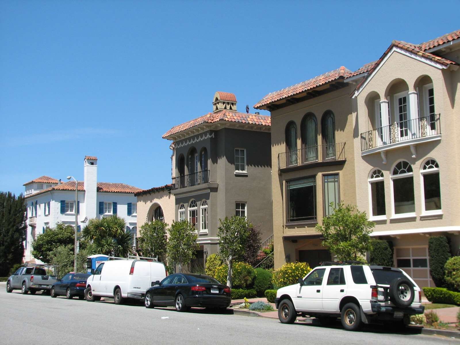
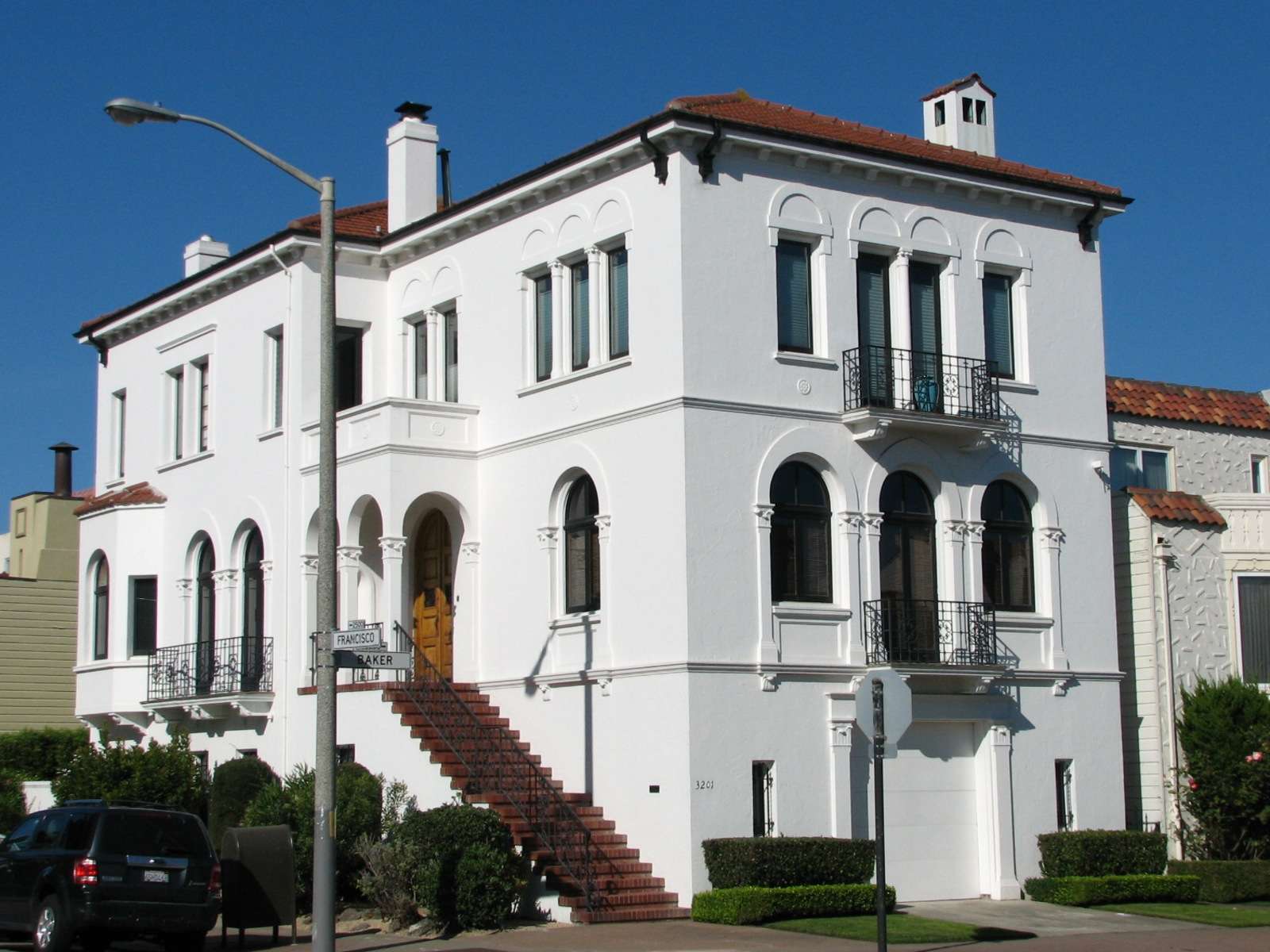
Waterfront Homes:
Many of the most expensive houses line the Northern border of the neighborhood and have views of the marina and bay.
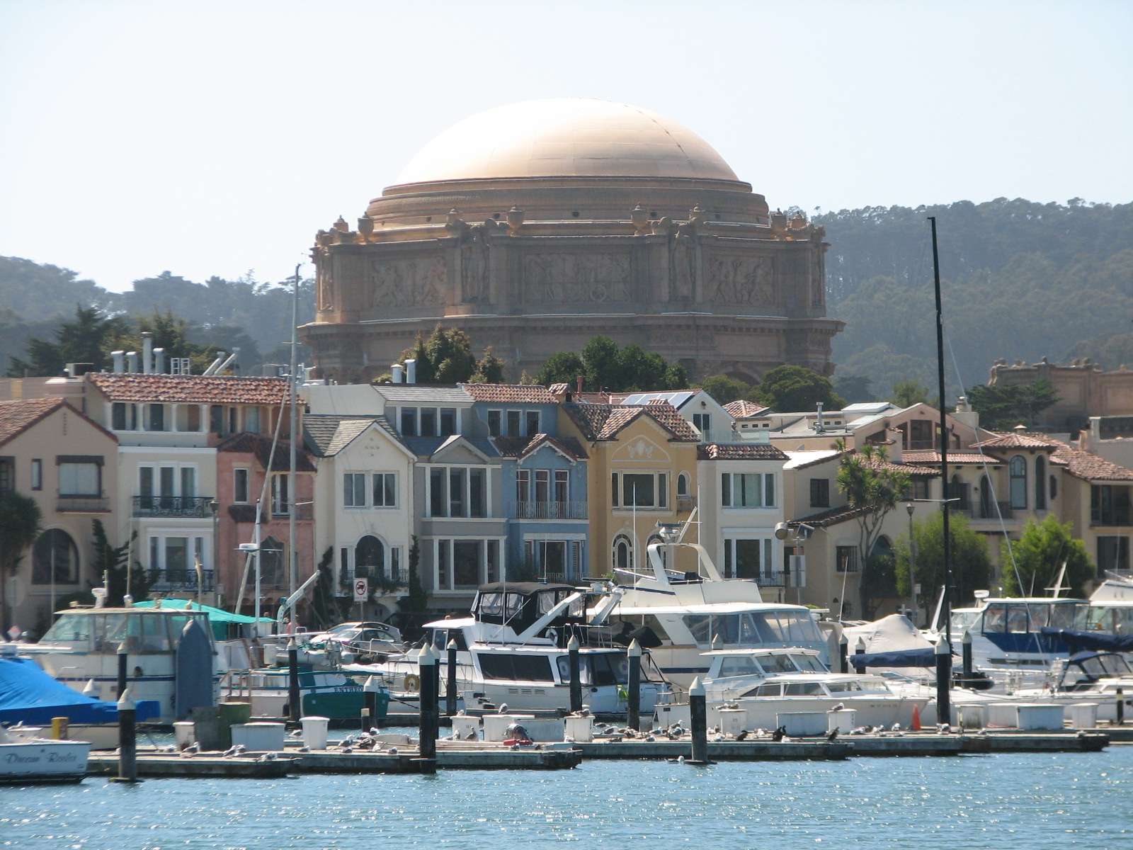
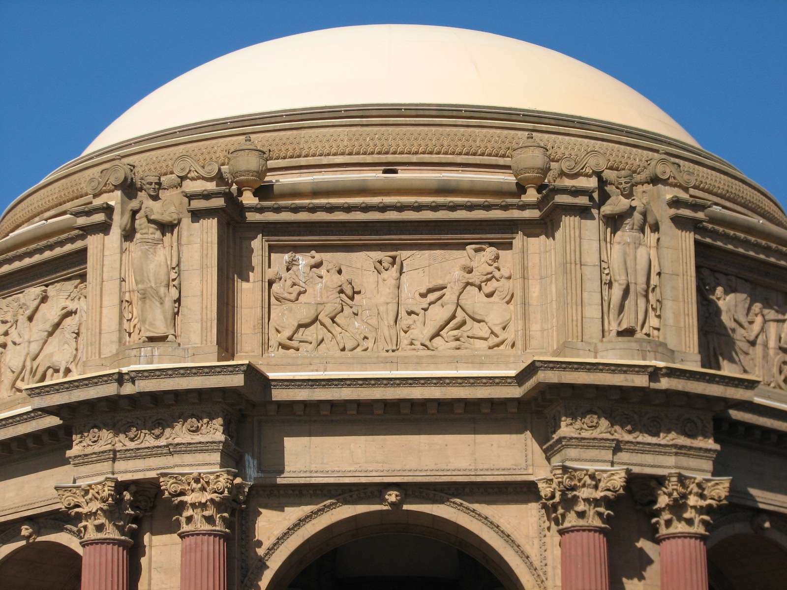
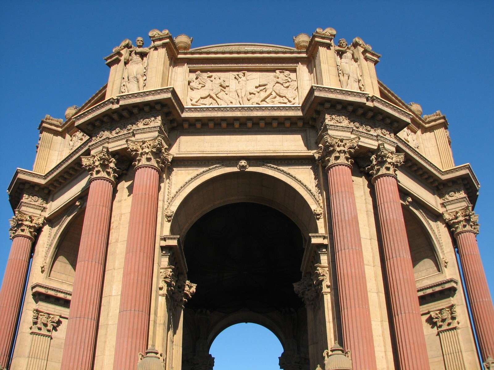
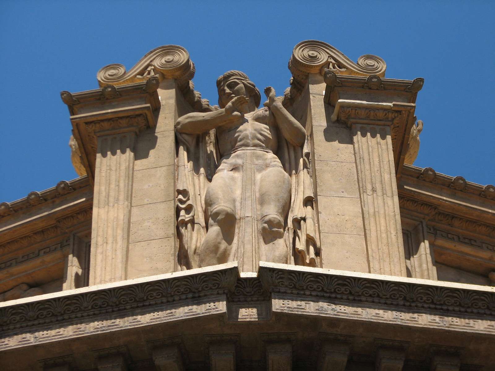
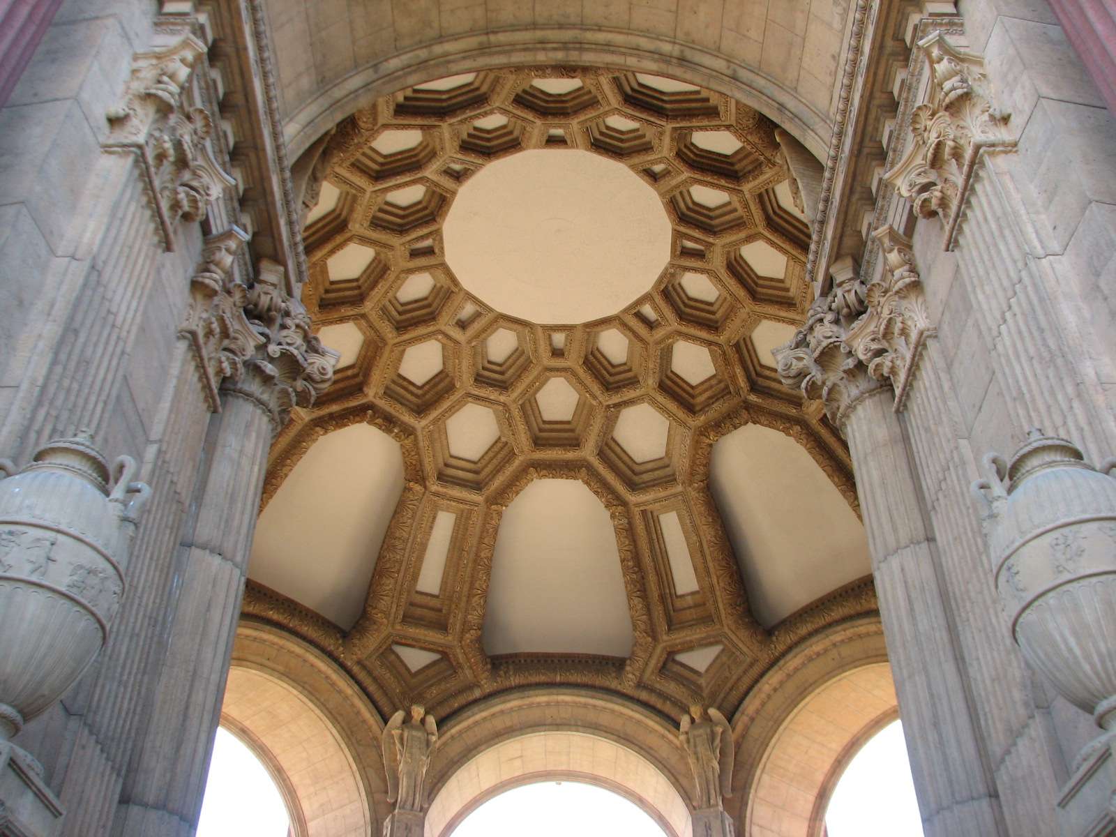
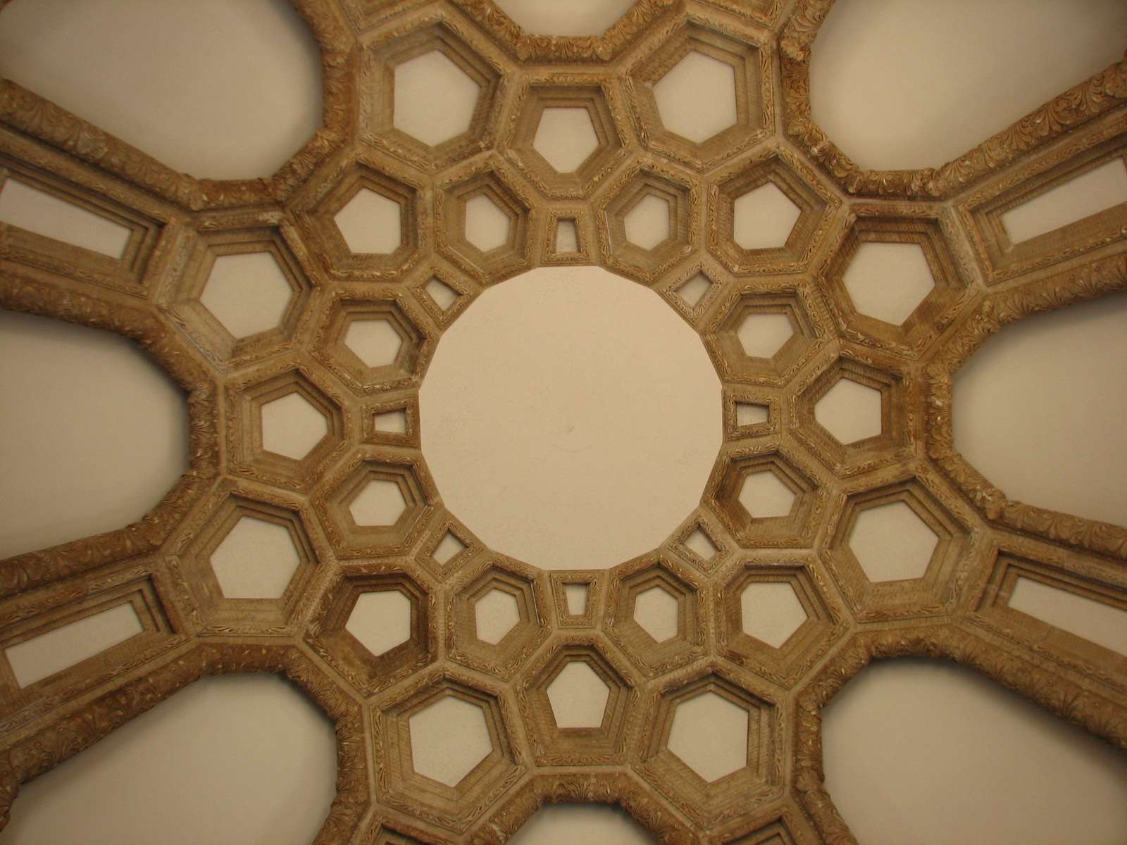
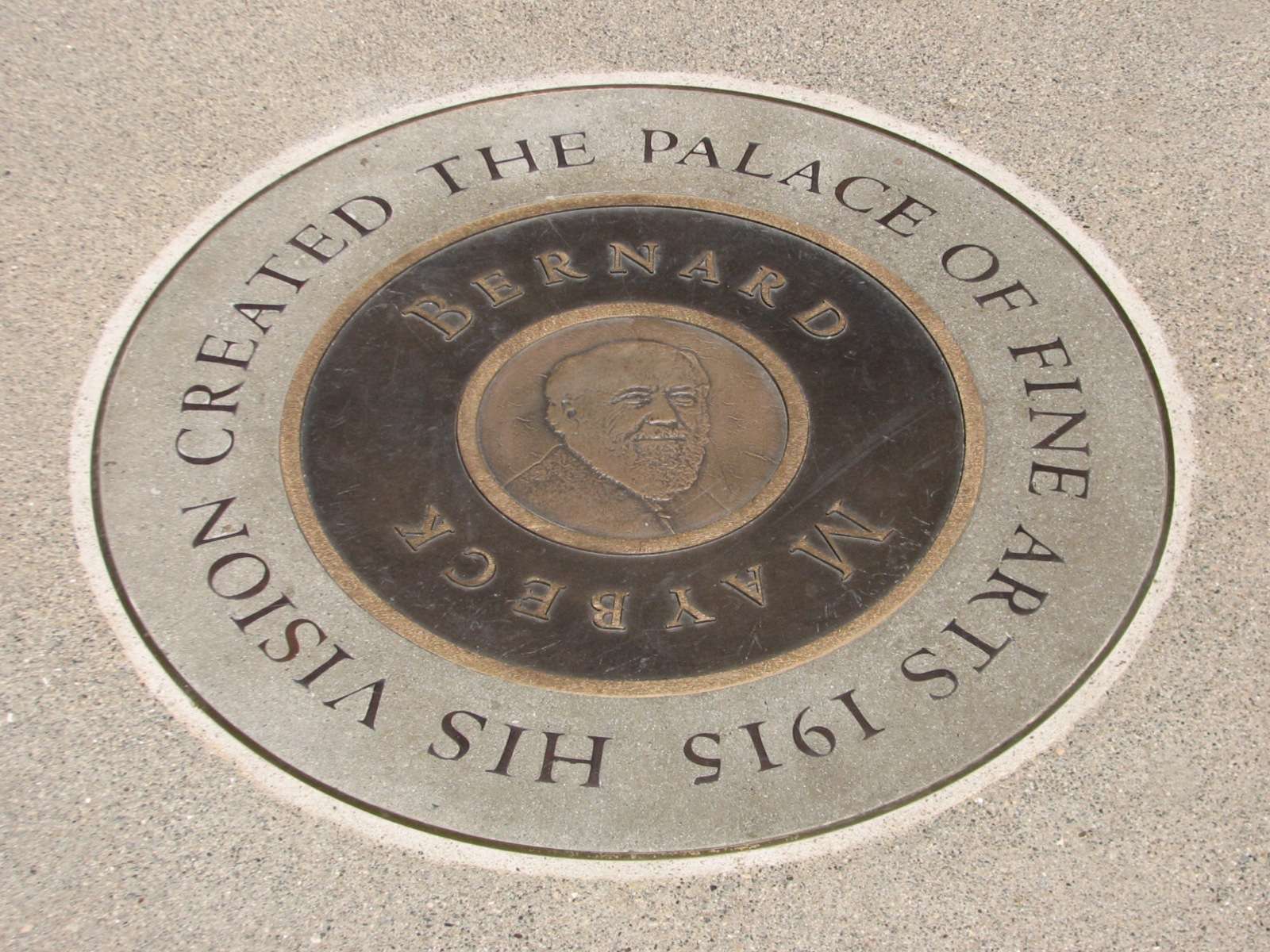
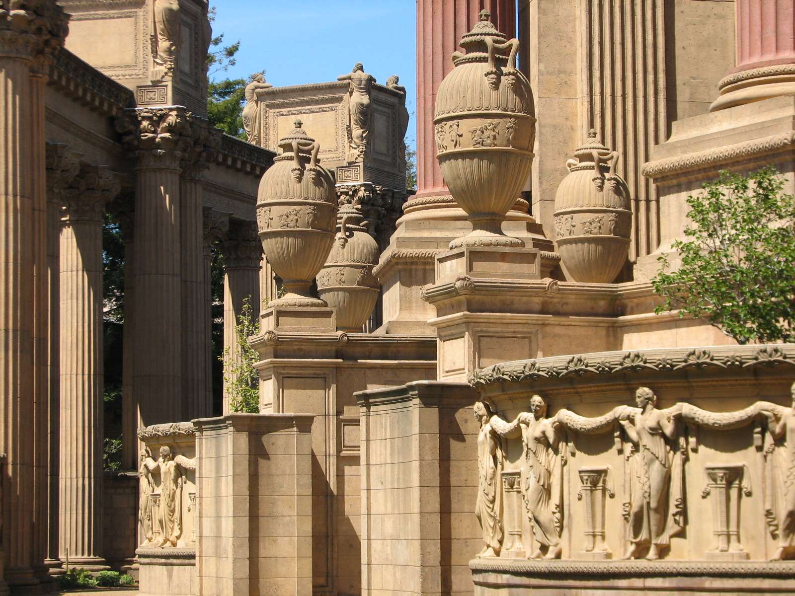
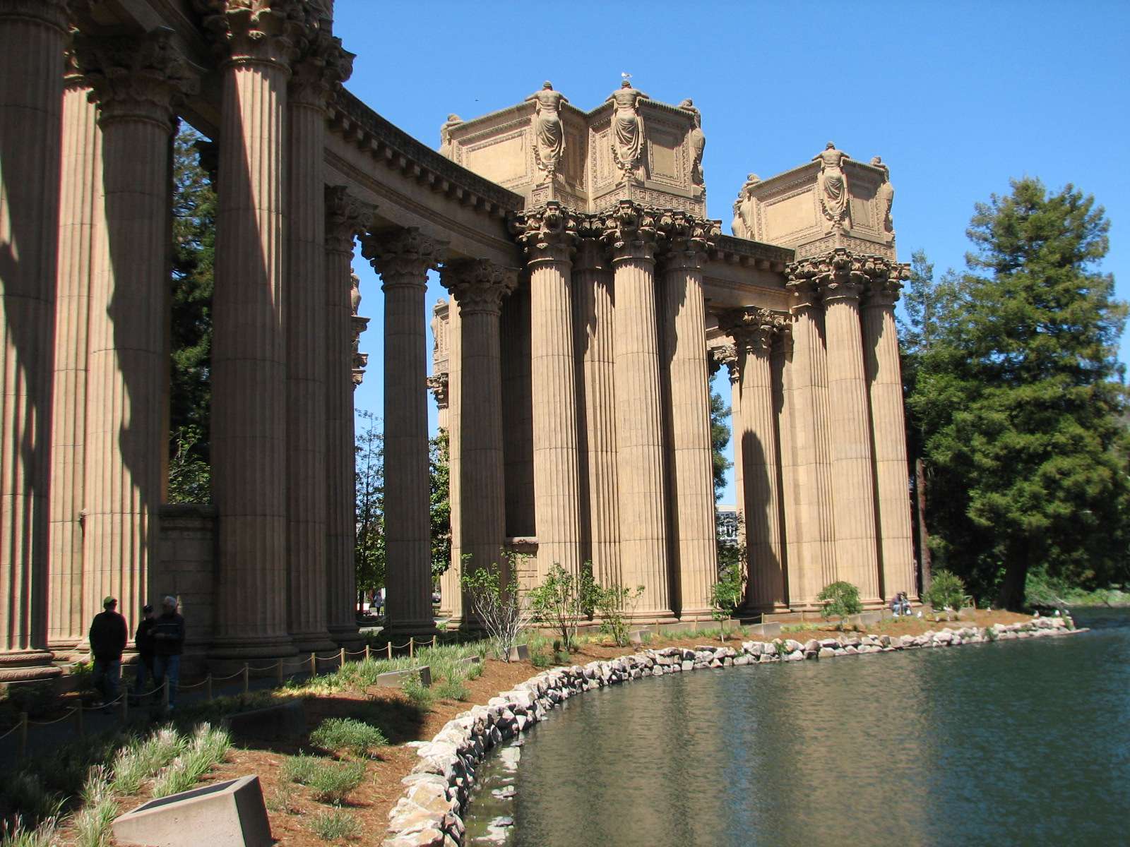
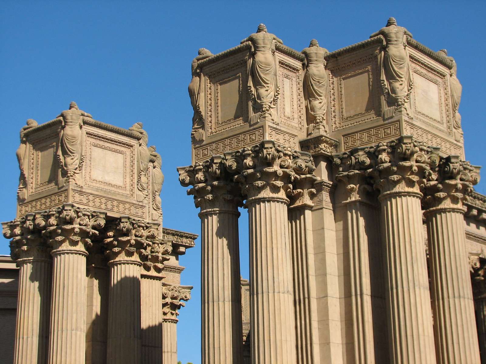
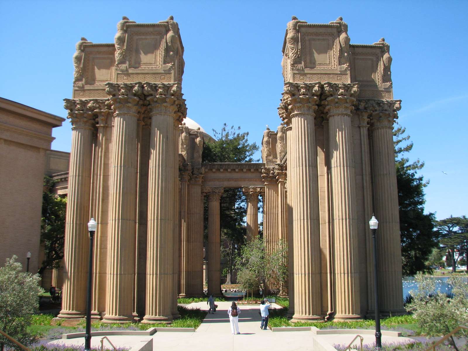
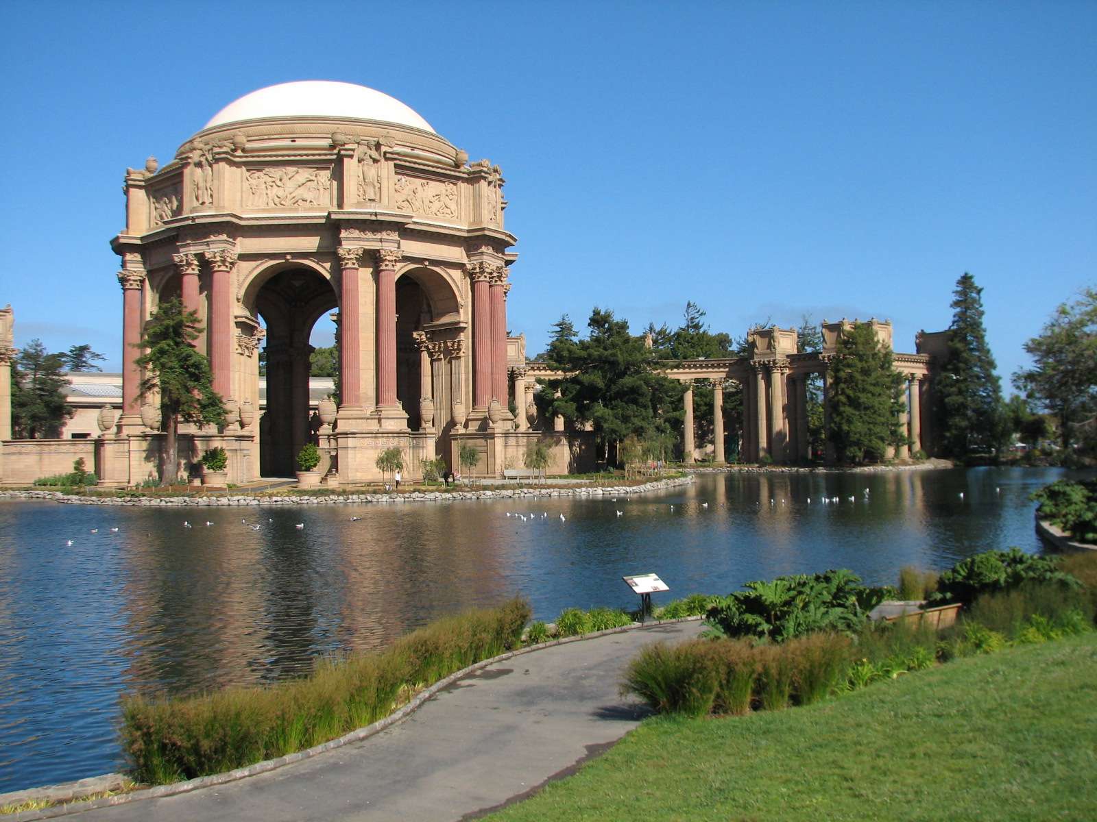
Palace of Fine Arts:
This Beaux-Arts masterpiece looms over the West end of the neighborhood and is the only remaining structure from the 1915 Panama-Pacific International Exposition (it was actually rebuilt in 1965 because the original structure was meant to be temporary like all the others). A lower half-round warehouse-like building circumscribes the arc of the colonnade and currently houses a theater as well as the Exploratorium, a hands-on science museum; the museum will move out in a few years once its new home on a few piers along the Embarcadero is completed.
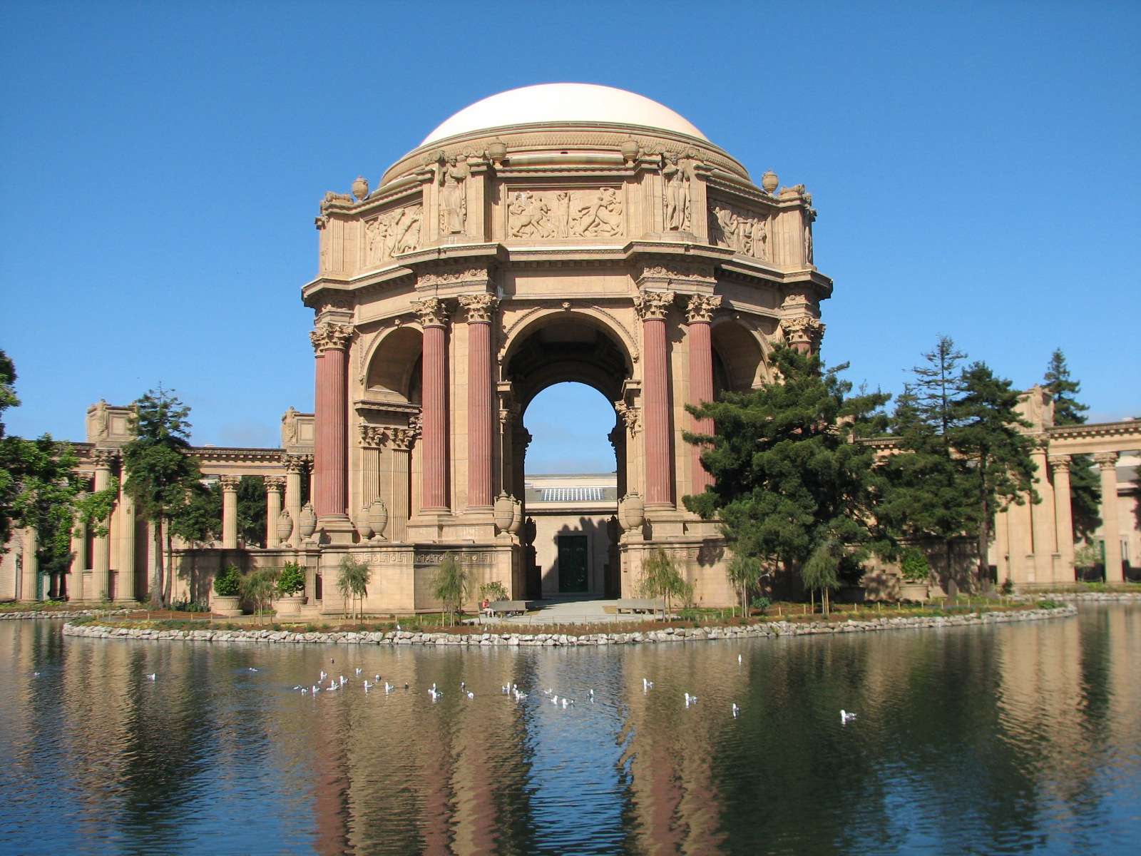


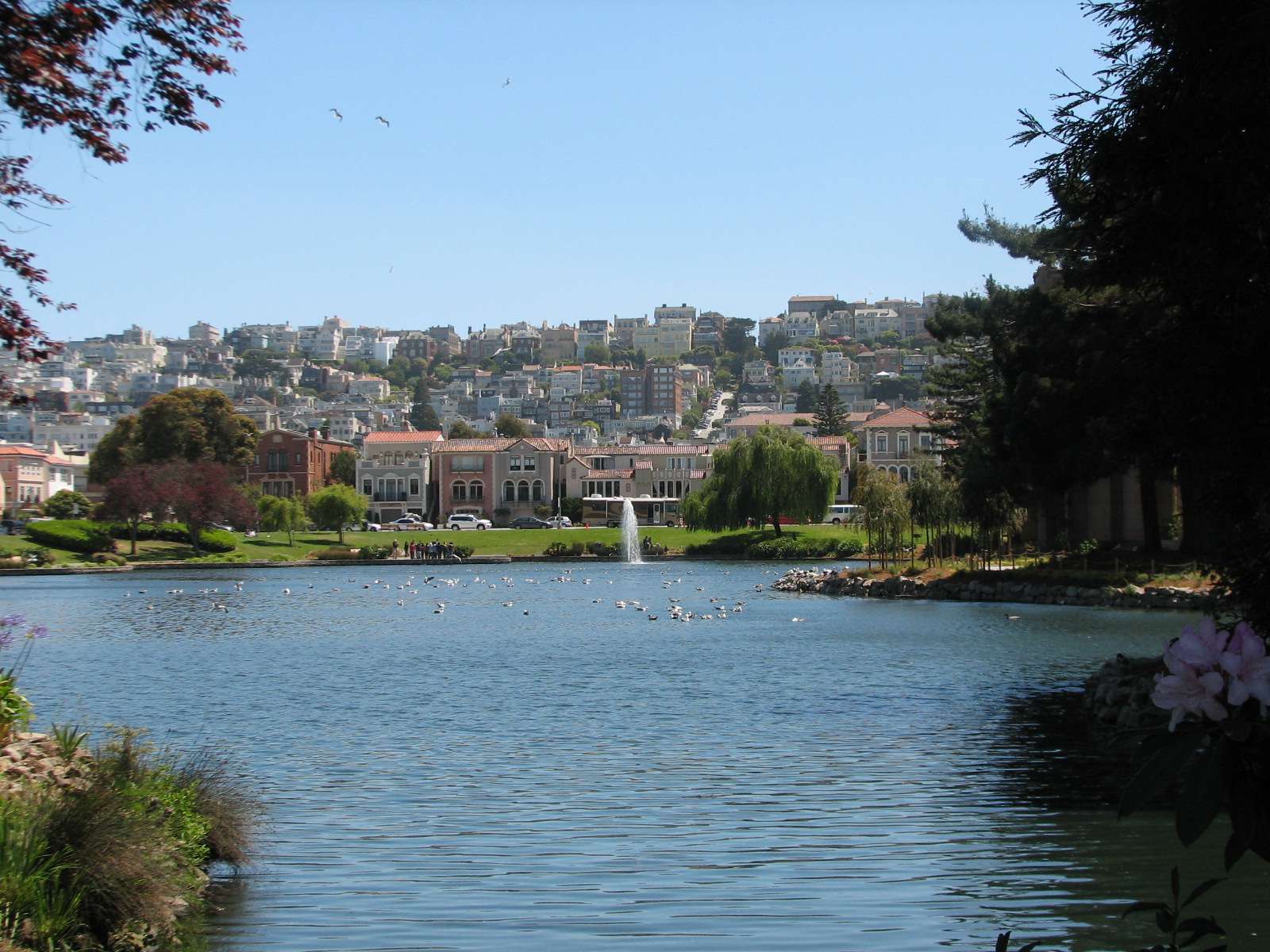
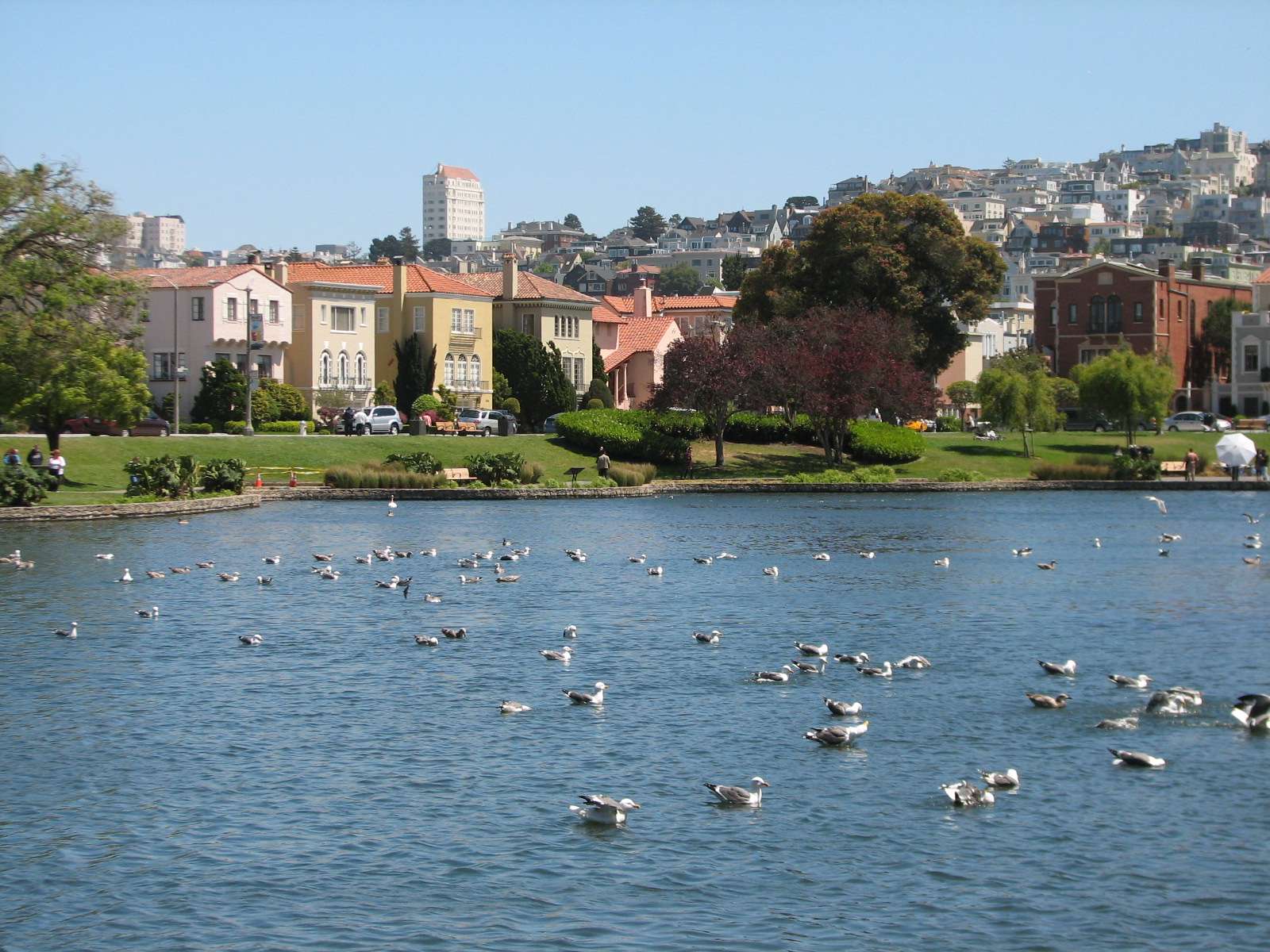
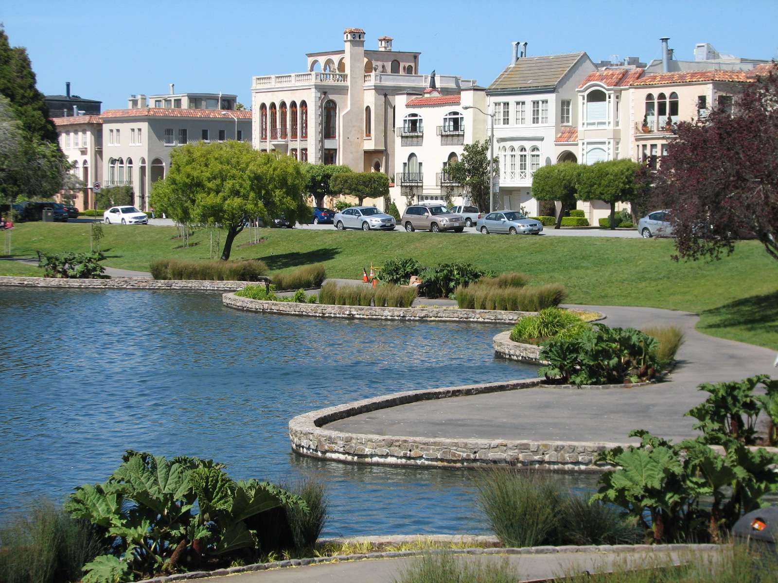
Palace of Fine Arts Lagoon:
The lagoon forms a pleasant park between the palace and the surrounding Mediterranean Revival homes.
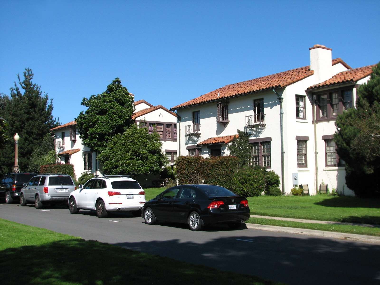
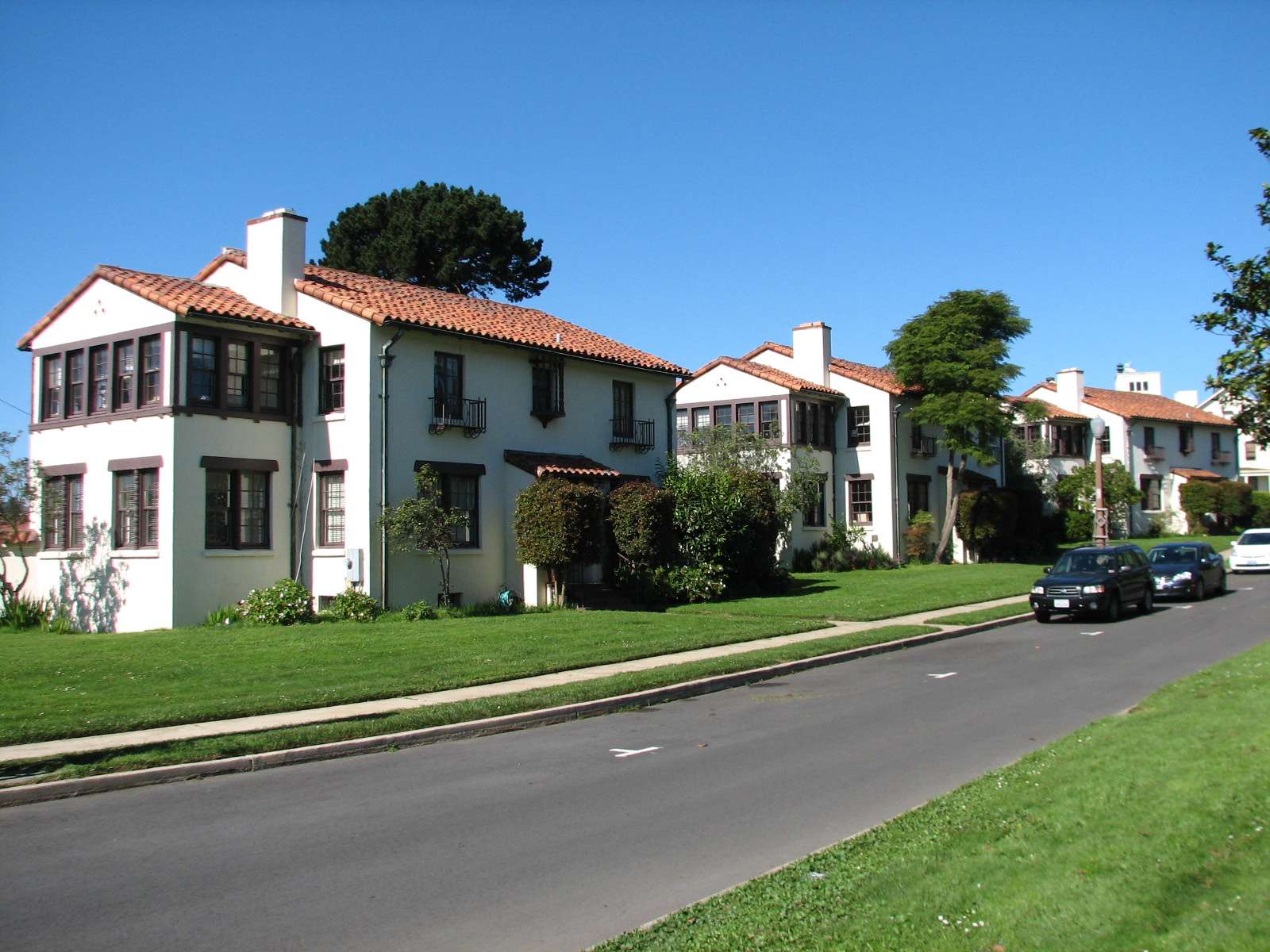
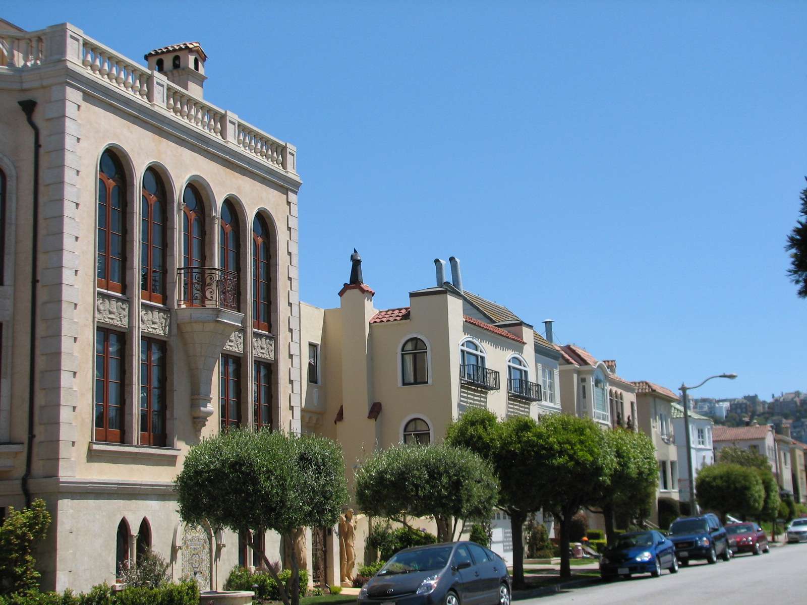
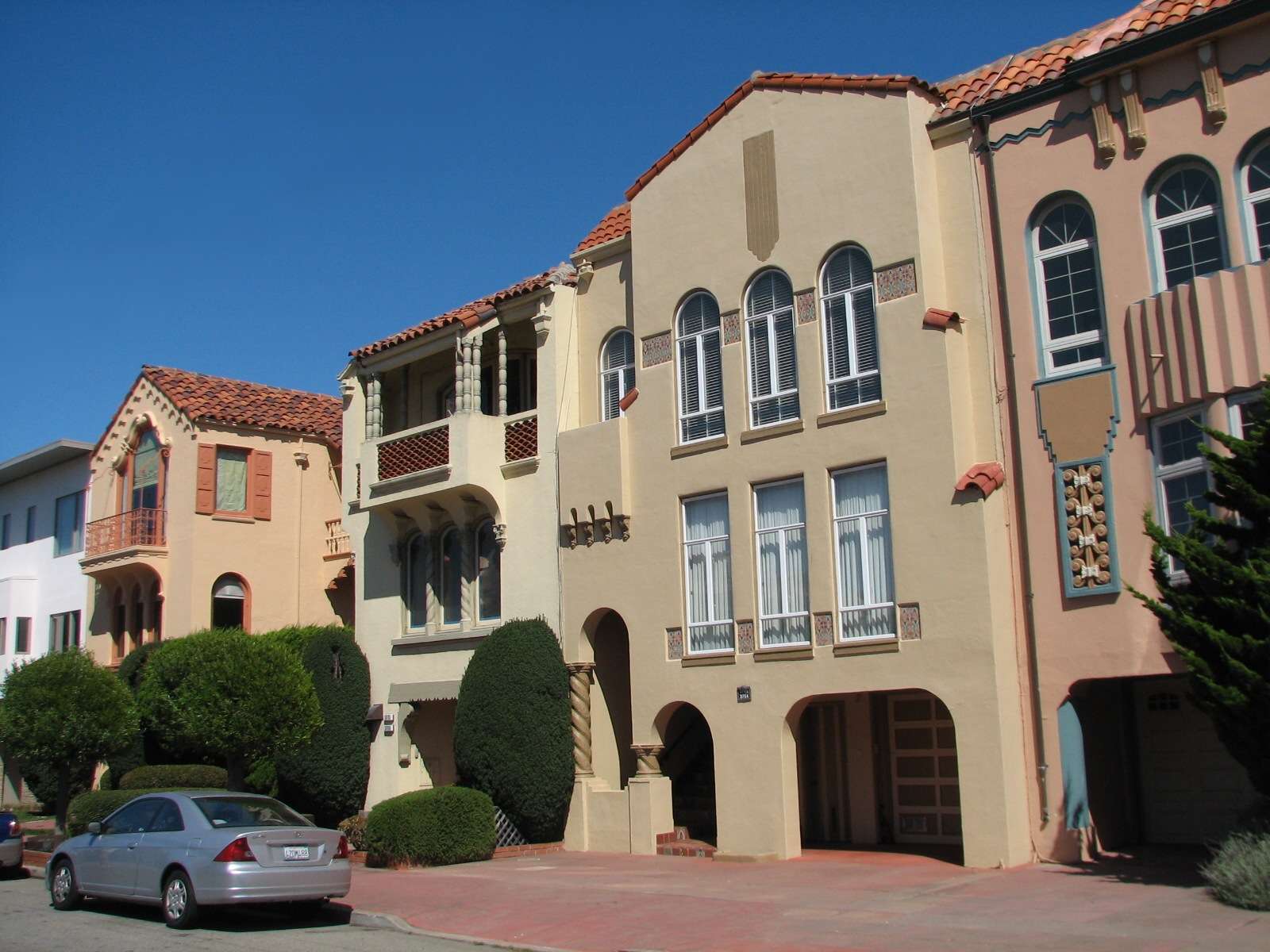
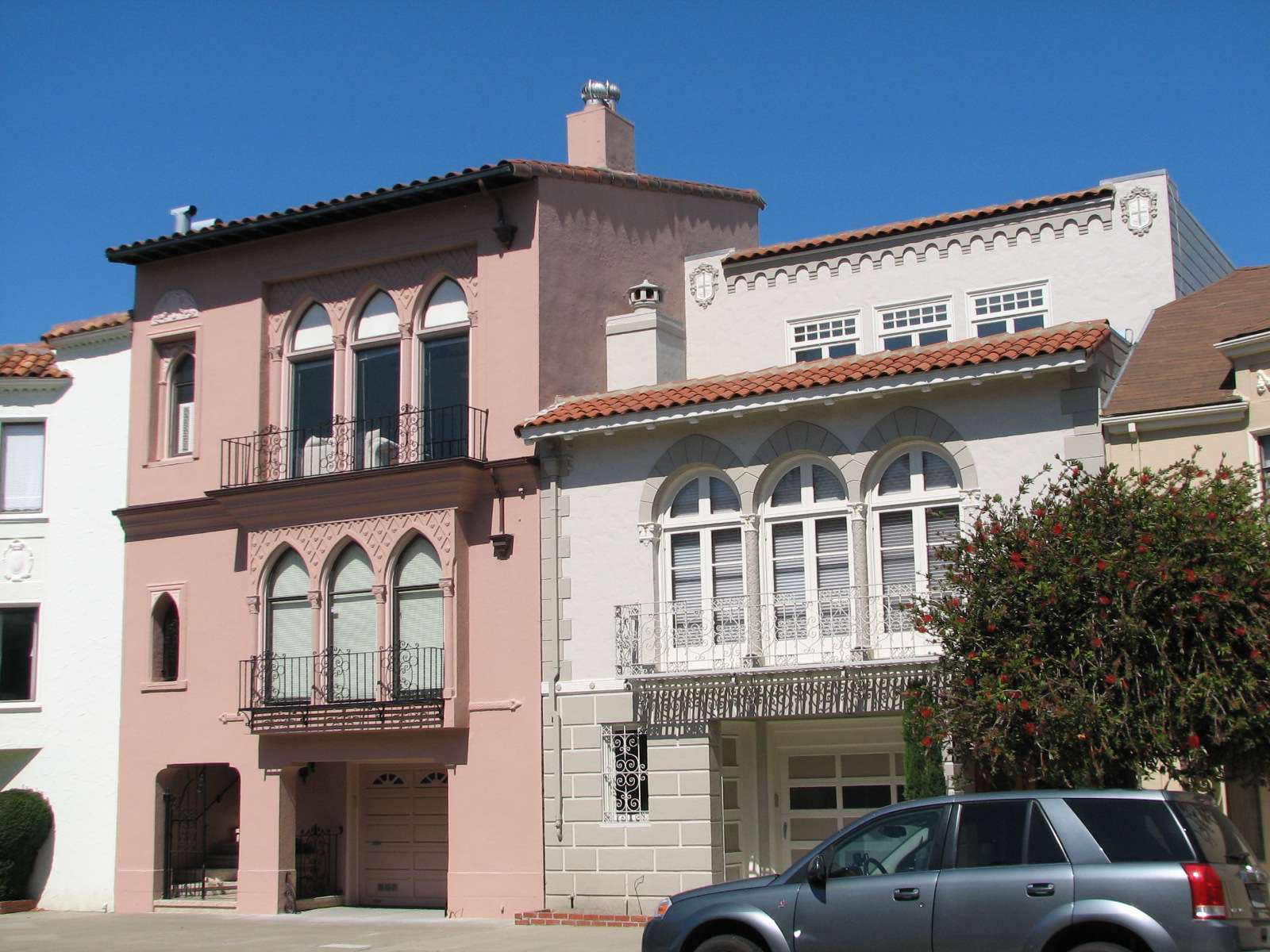
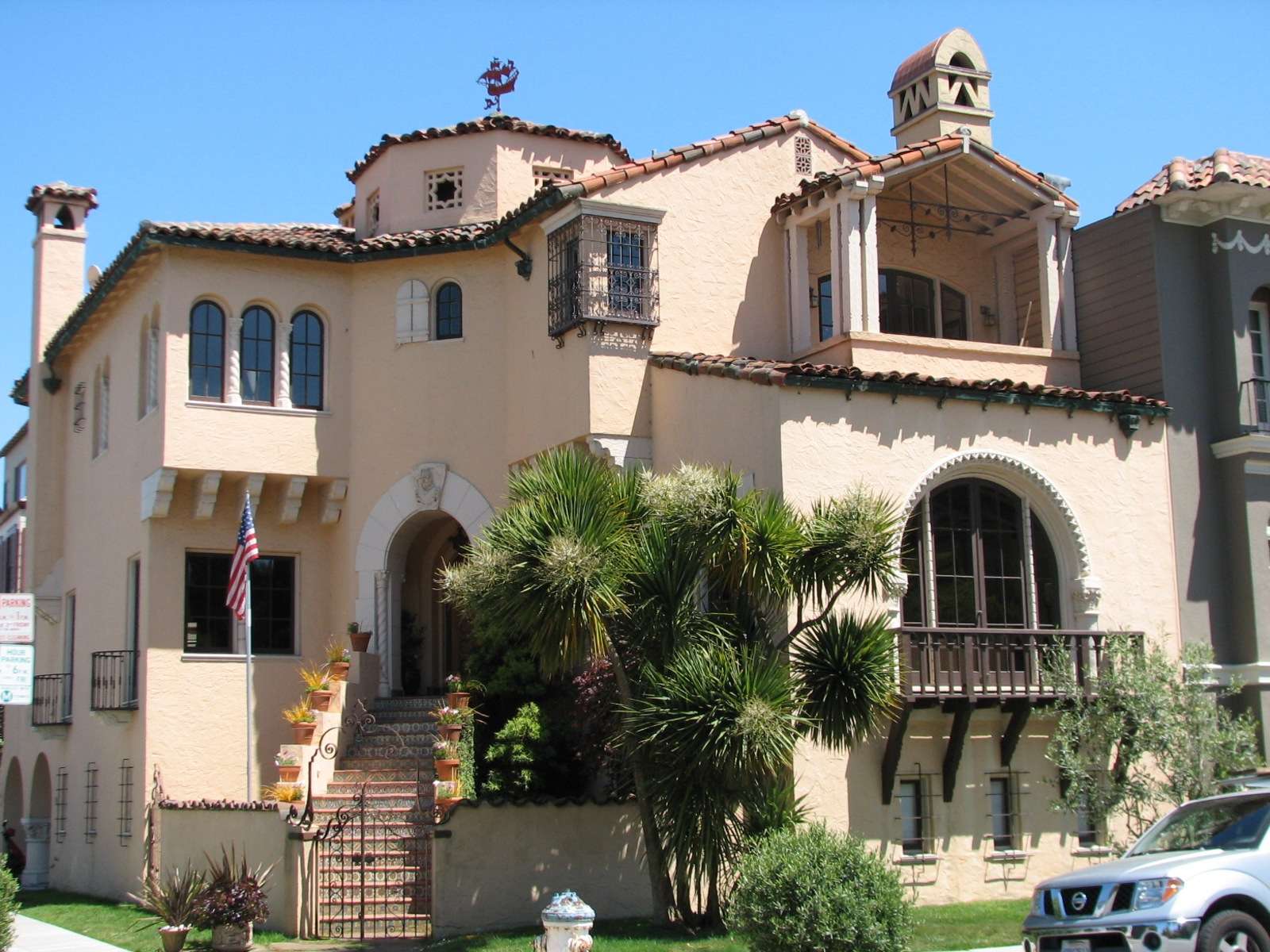
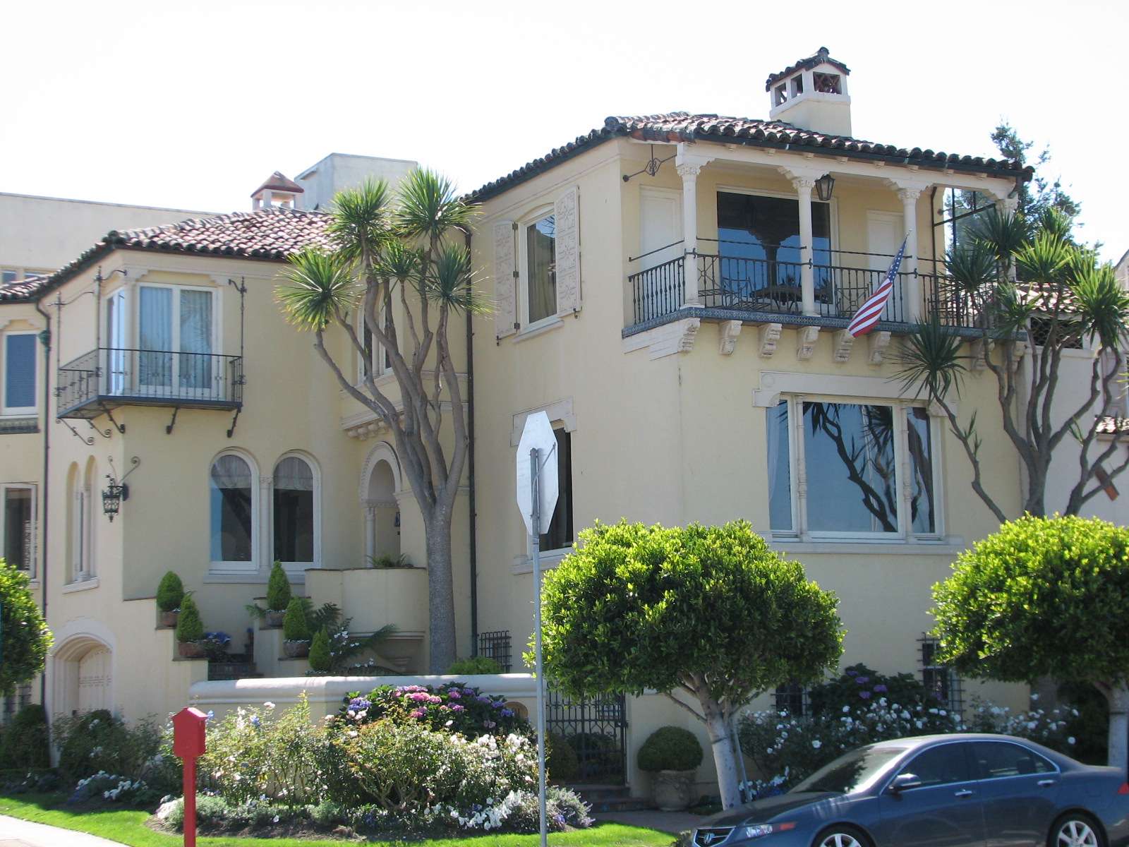
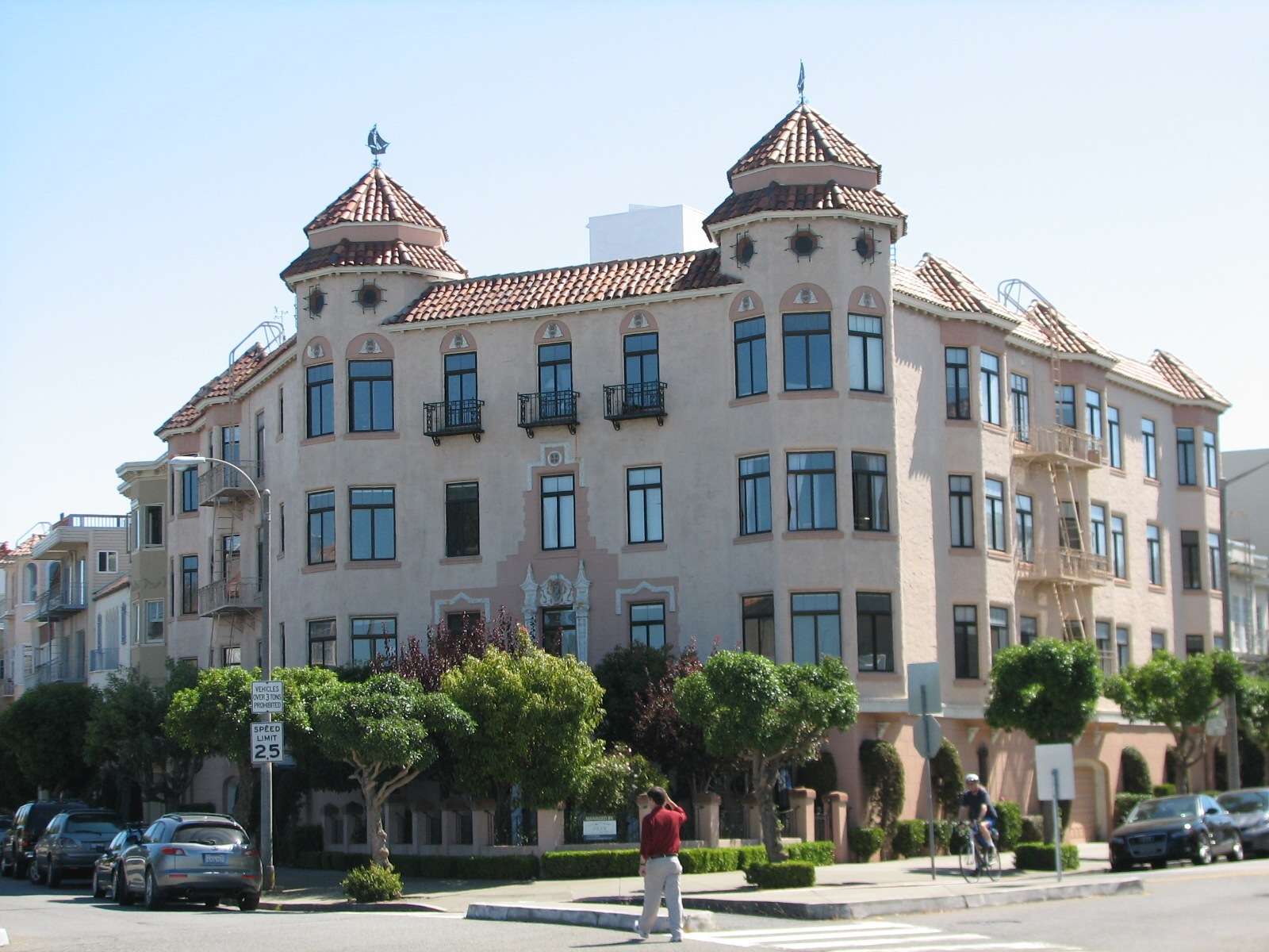
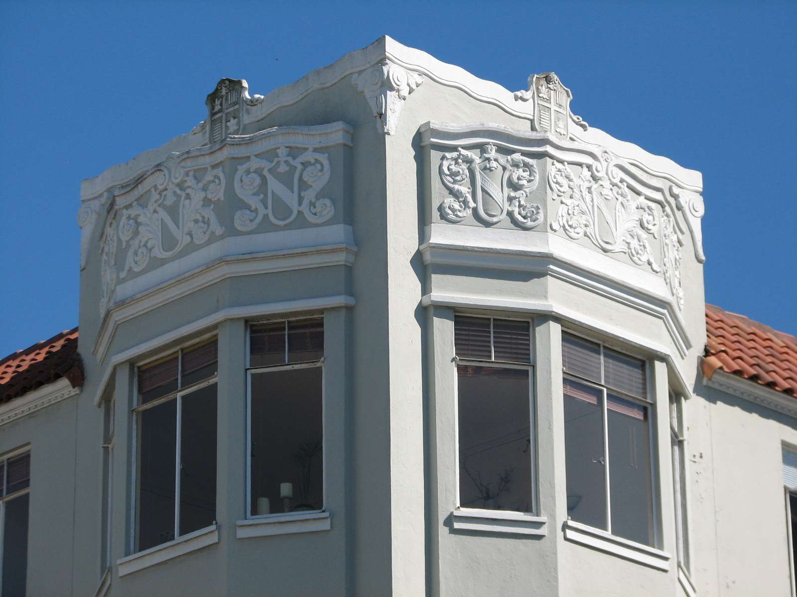
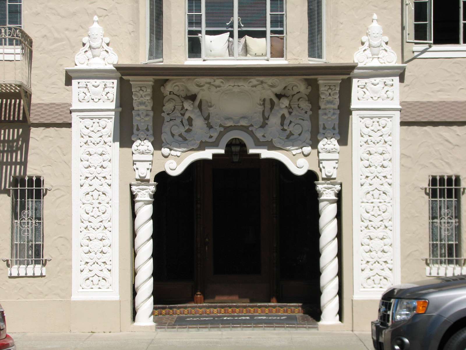
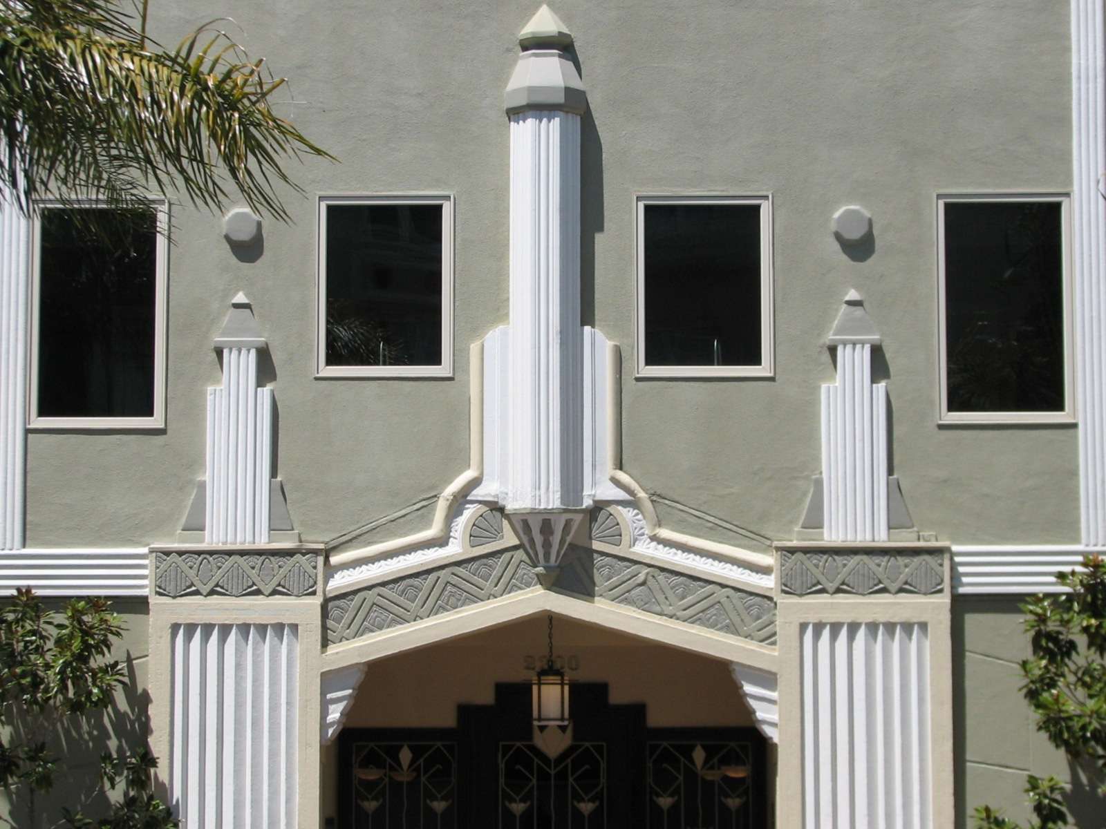
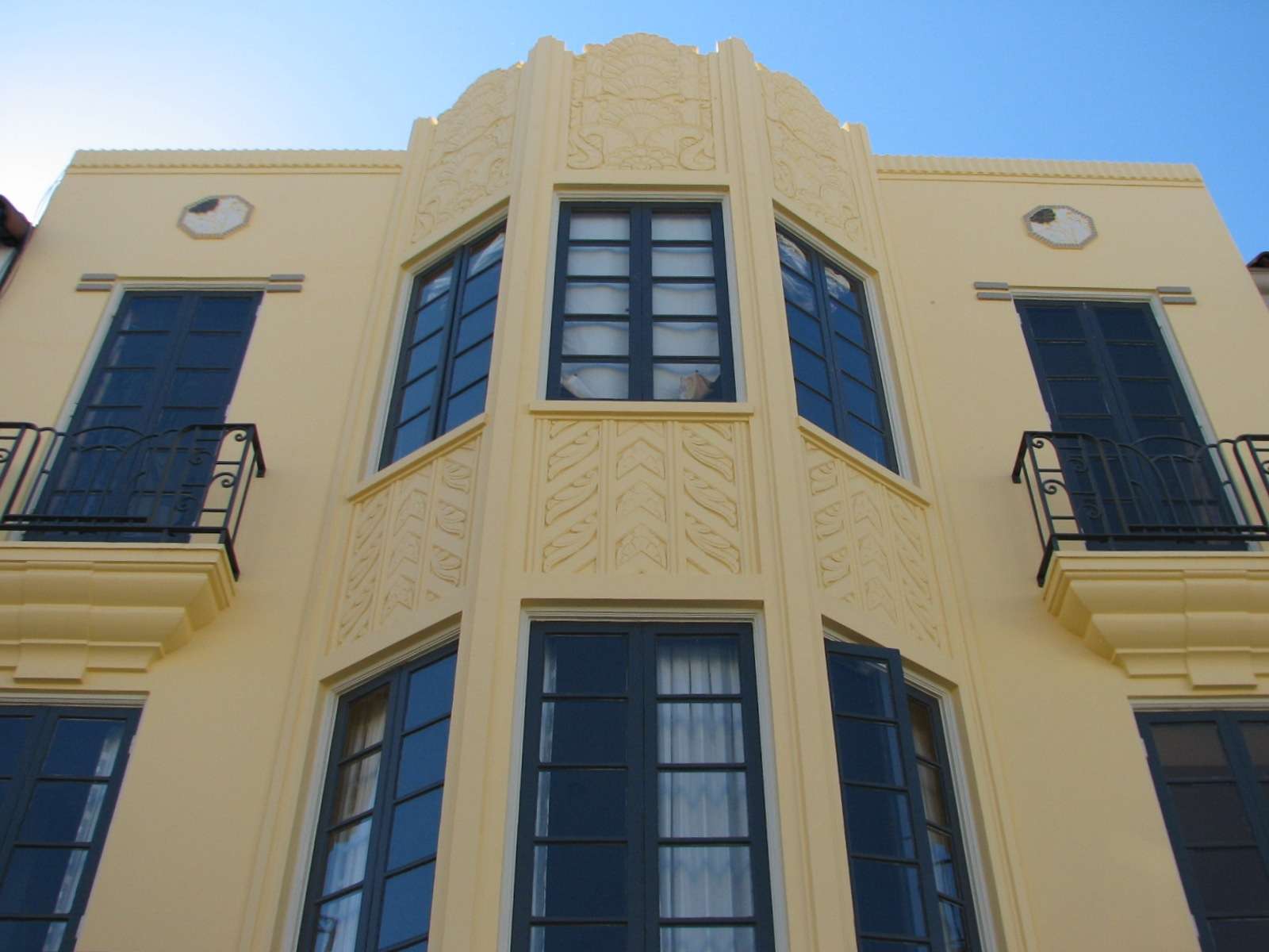
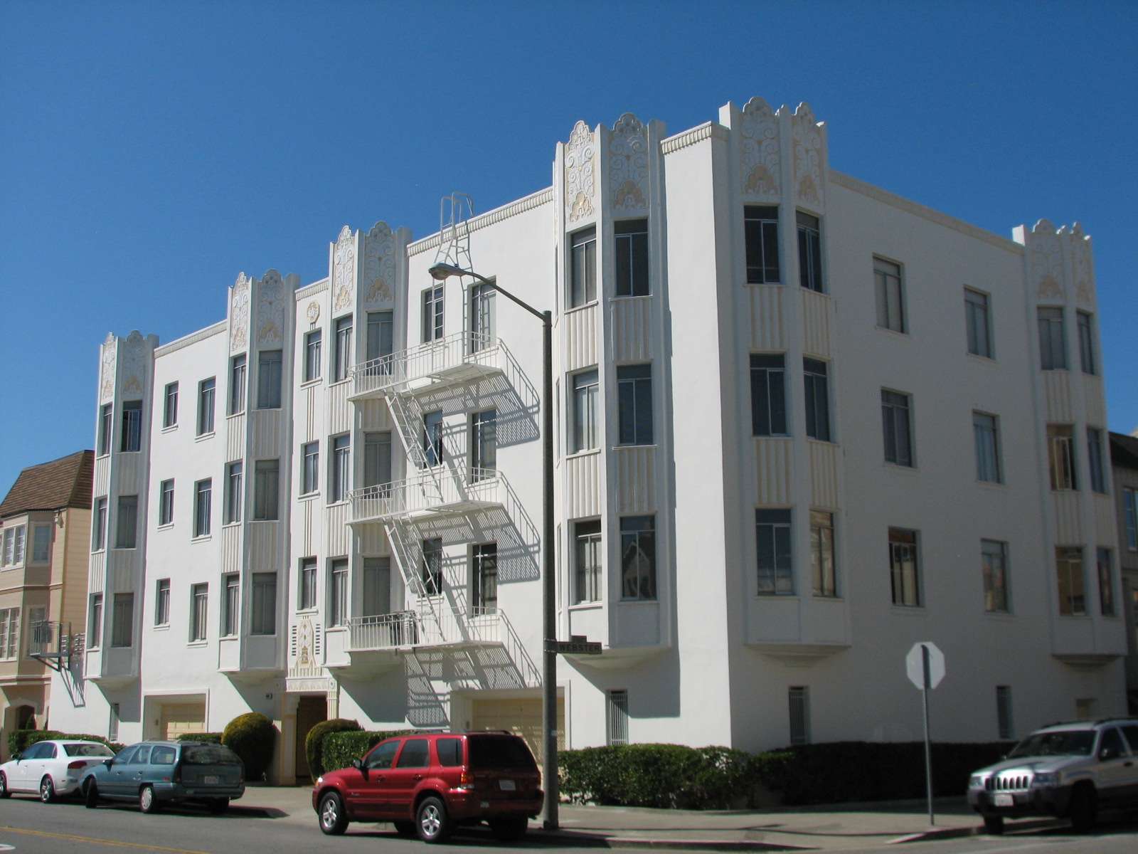
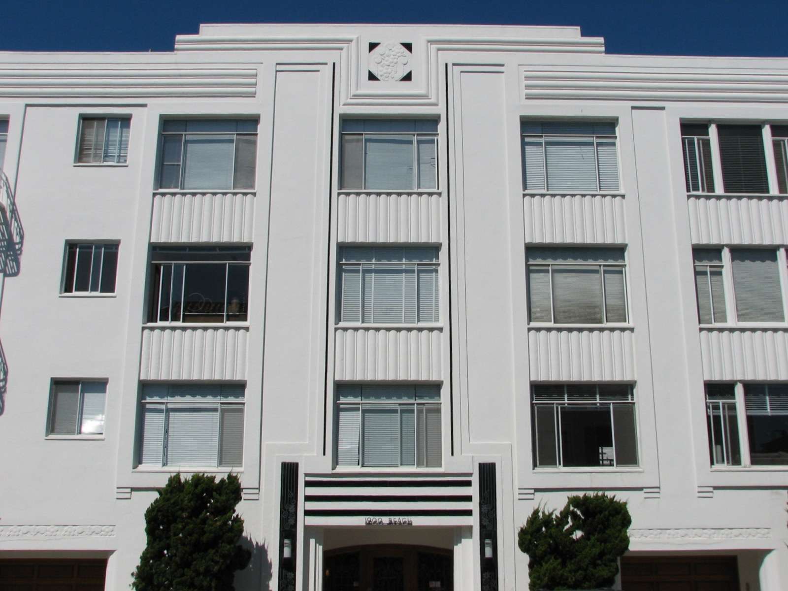
Mediterranean Revival homes:

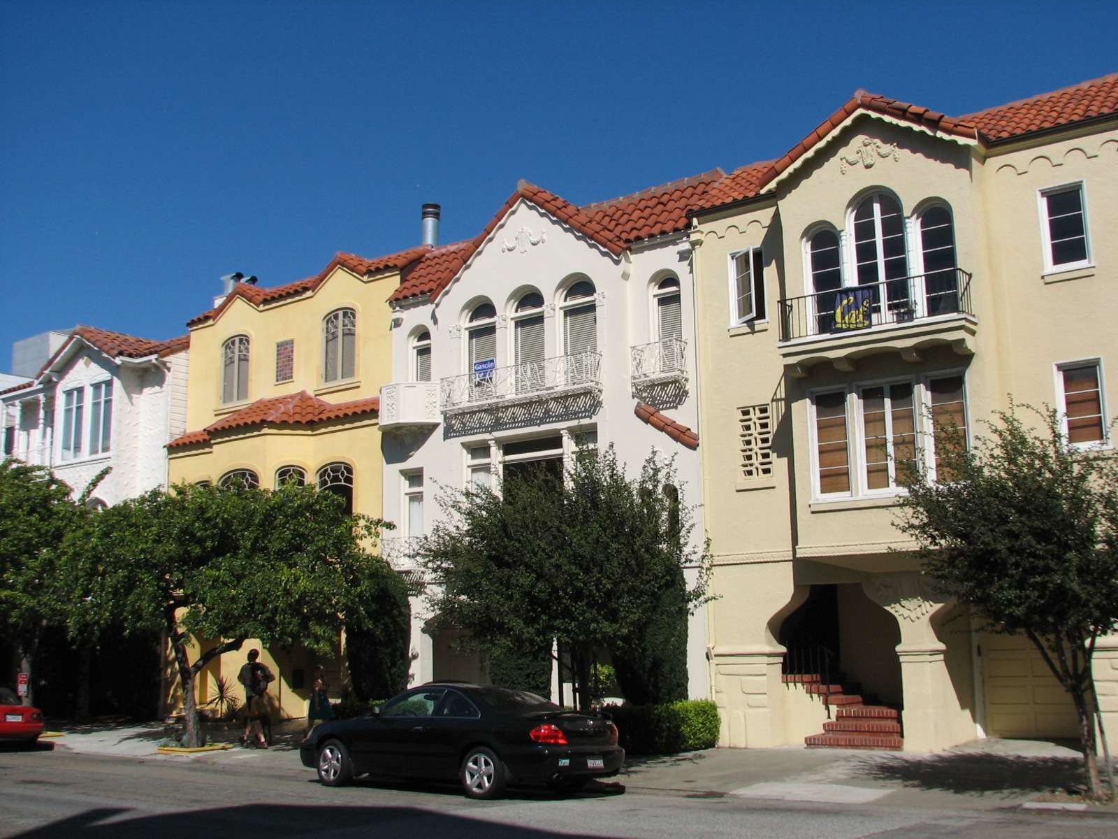
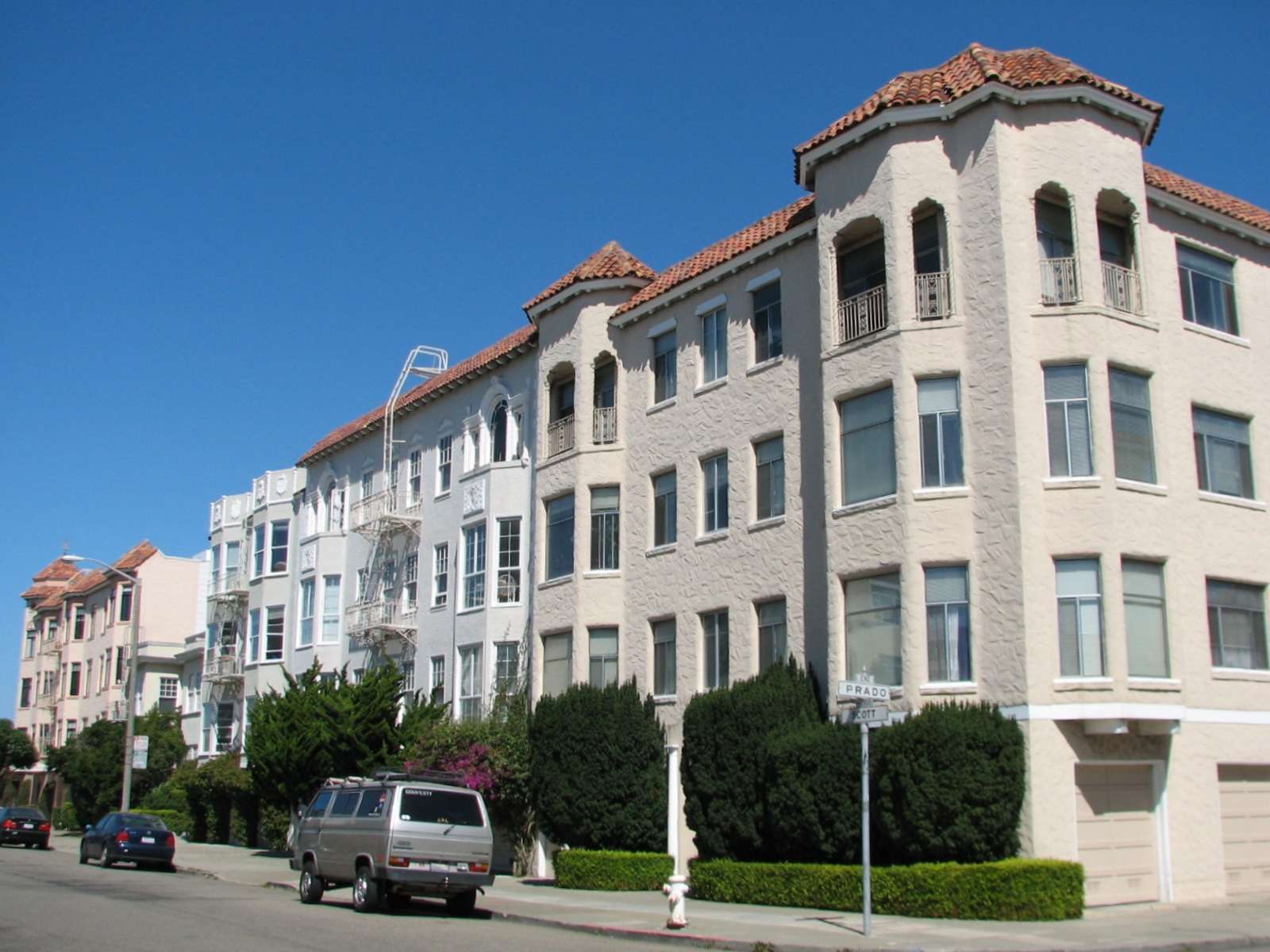
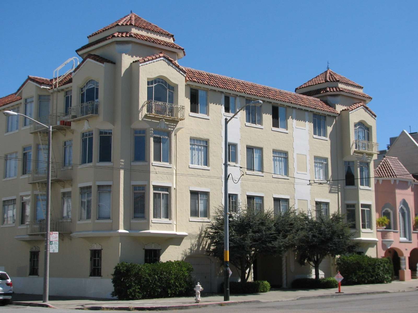
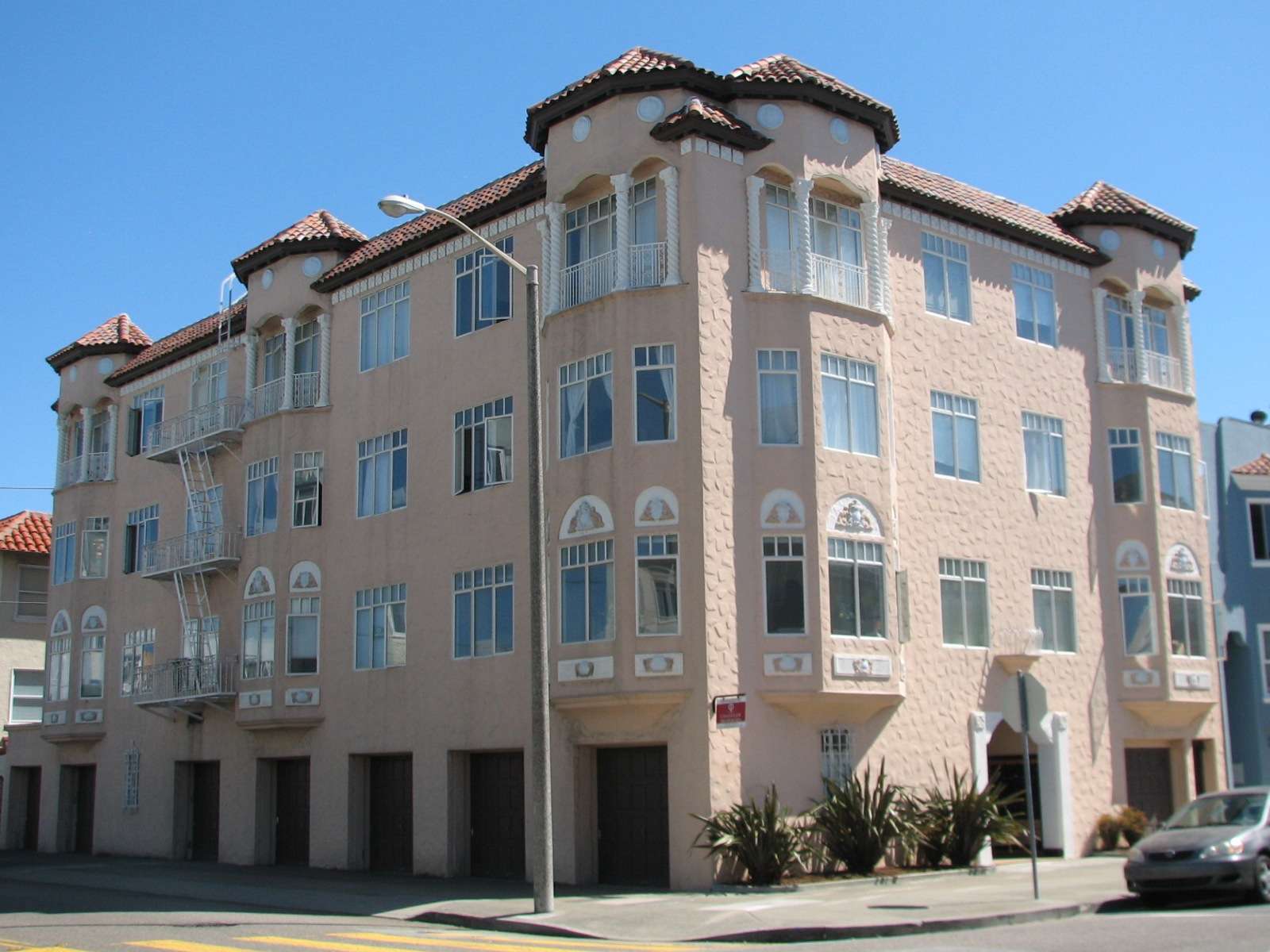
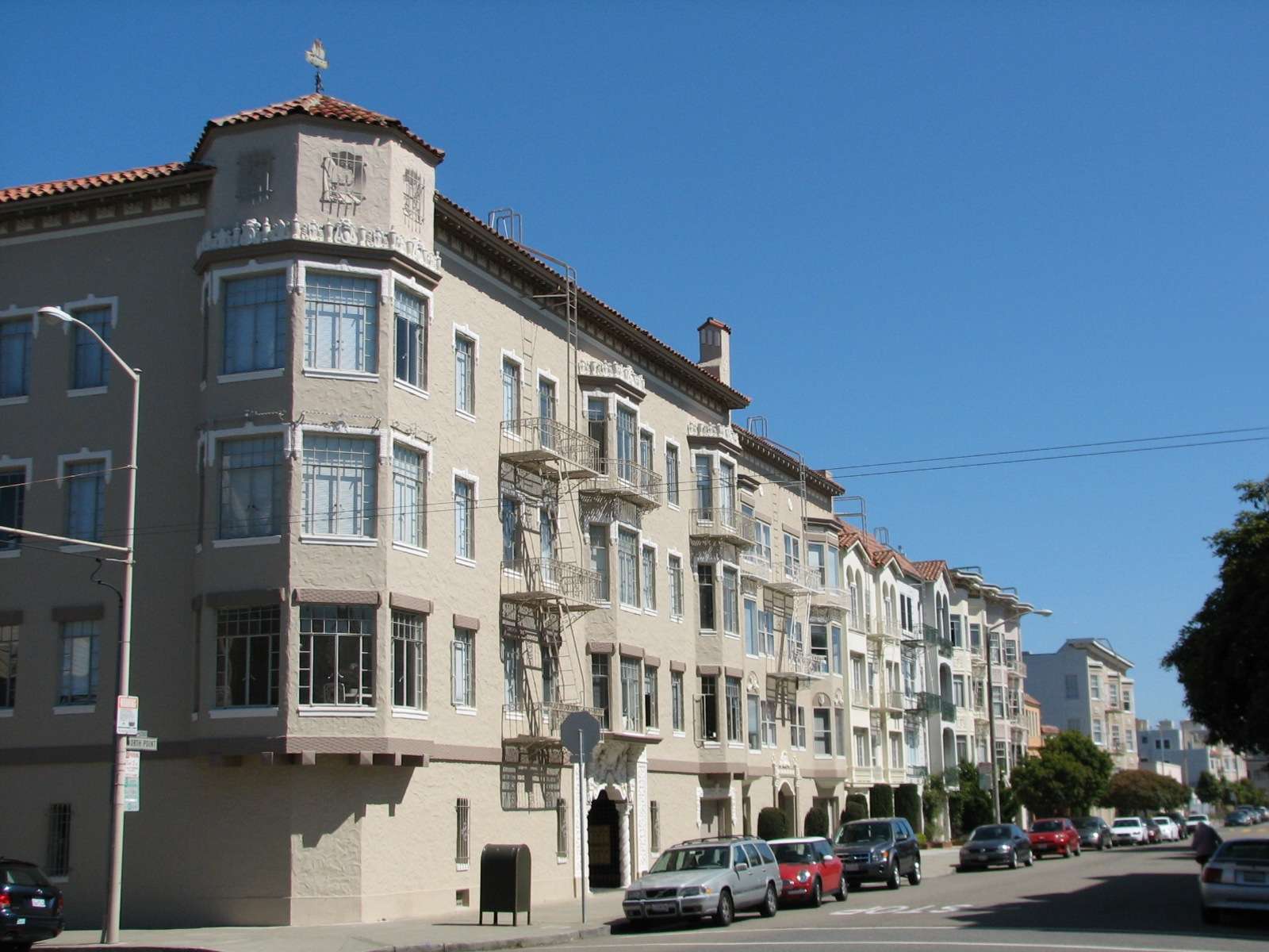
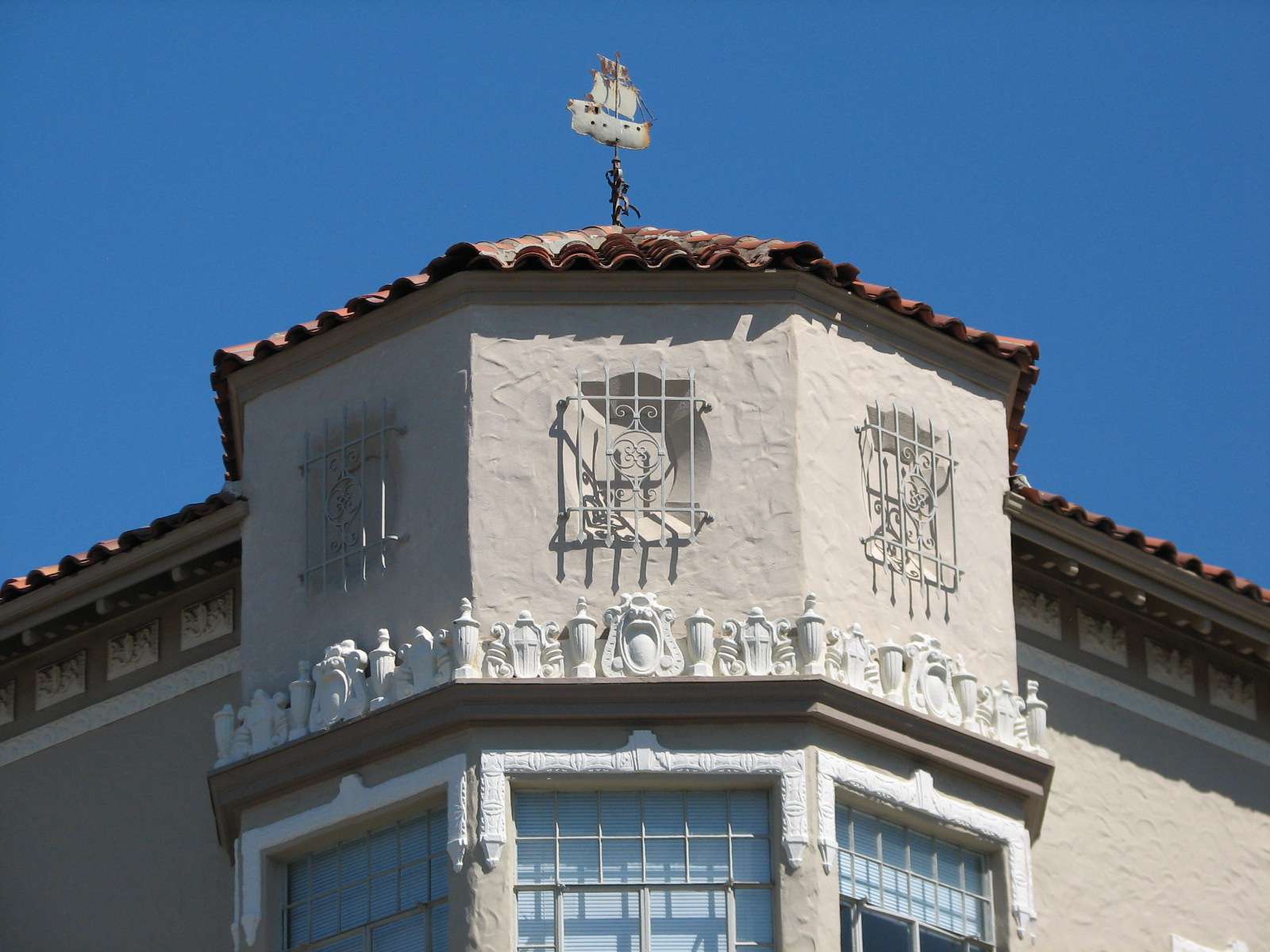
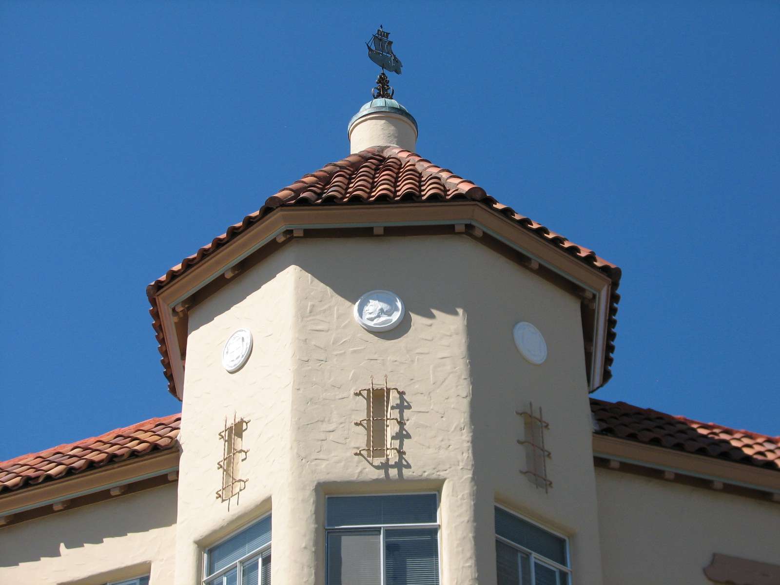
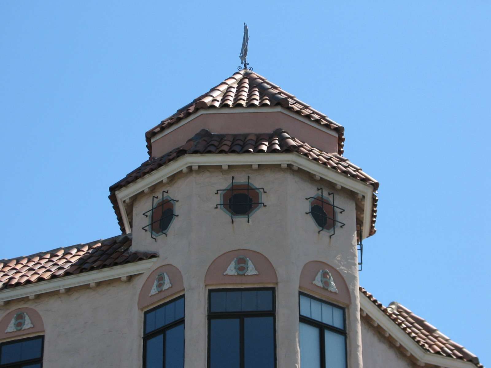
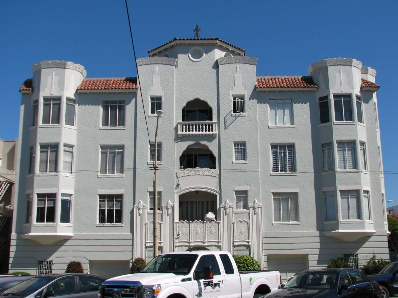
Mediterranean Revival/Deco apartments:


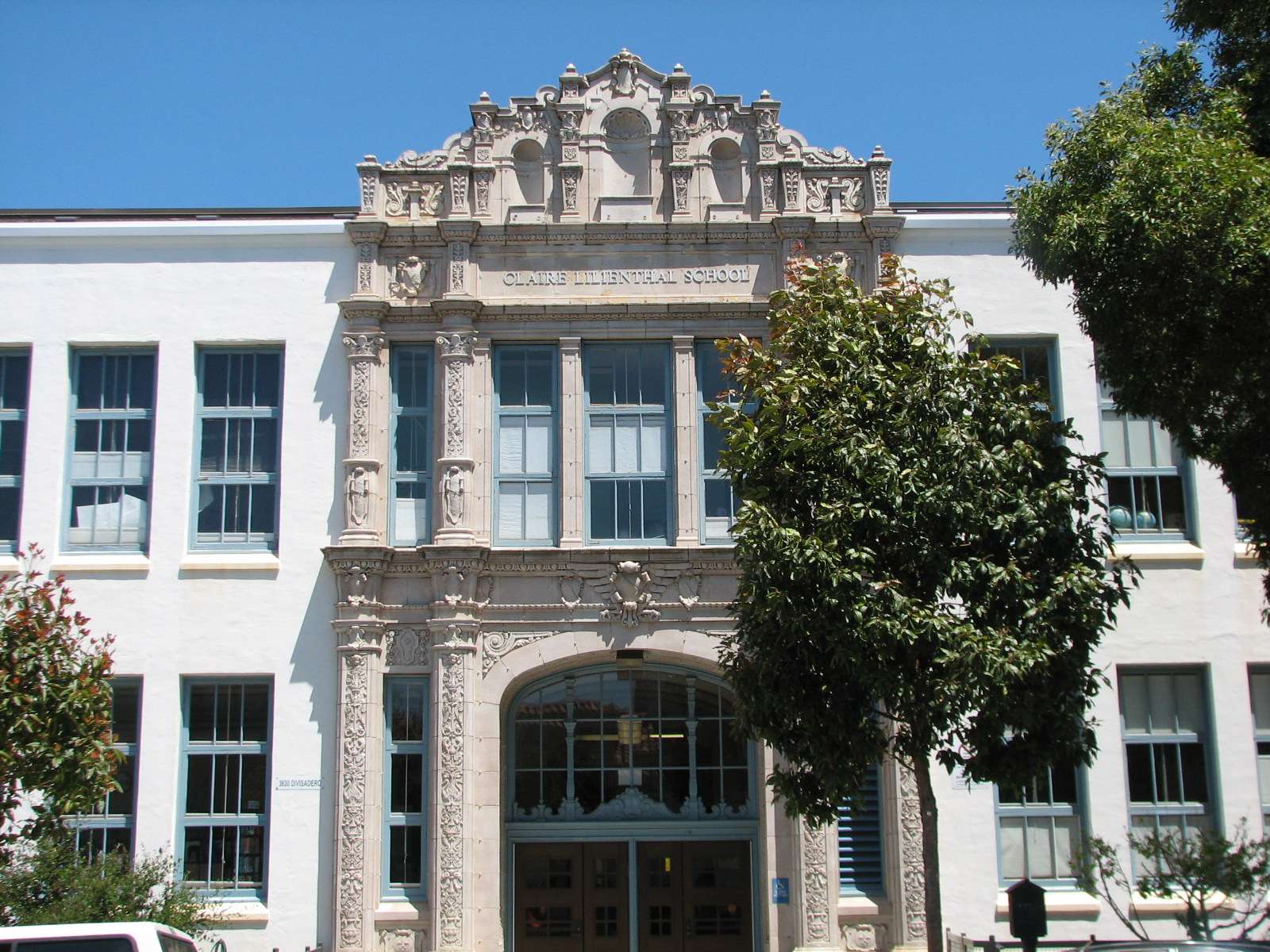
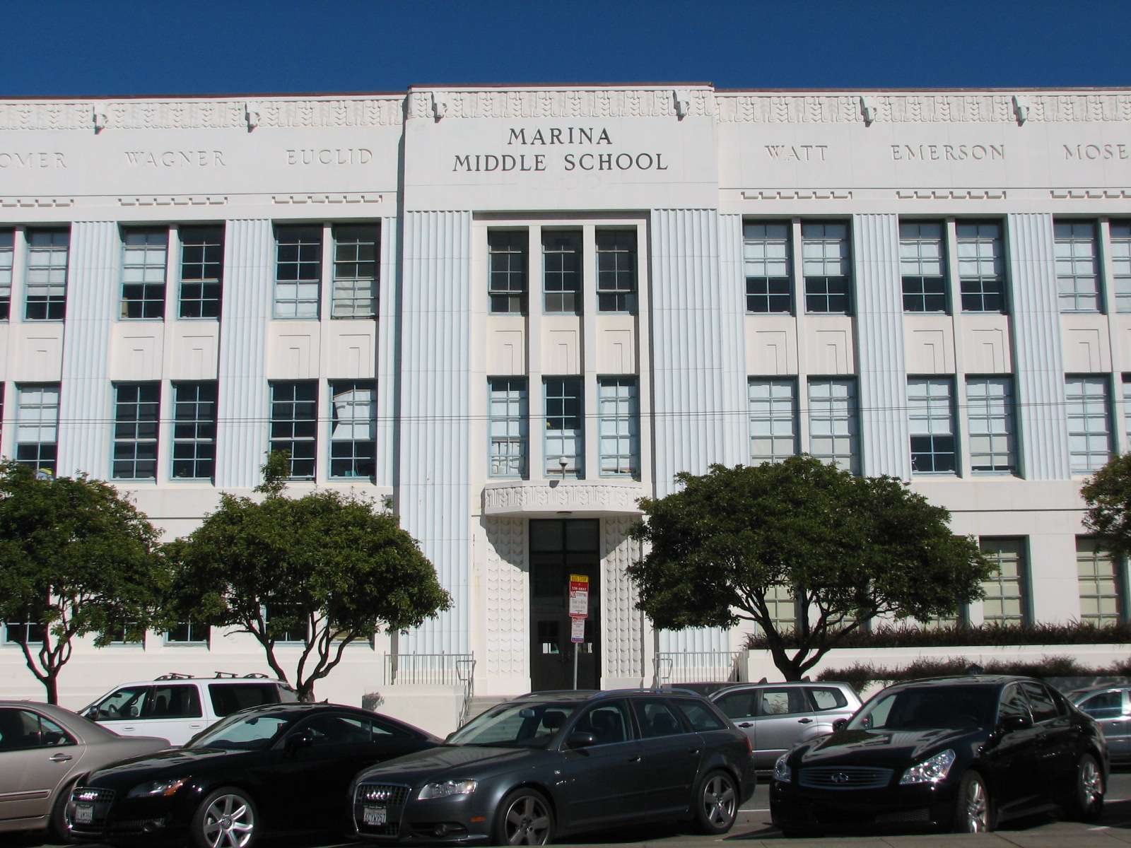
Mediterranean Revival schools:
Several schools in the neighborhood also reflect the prevalent design aesthetic.
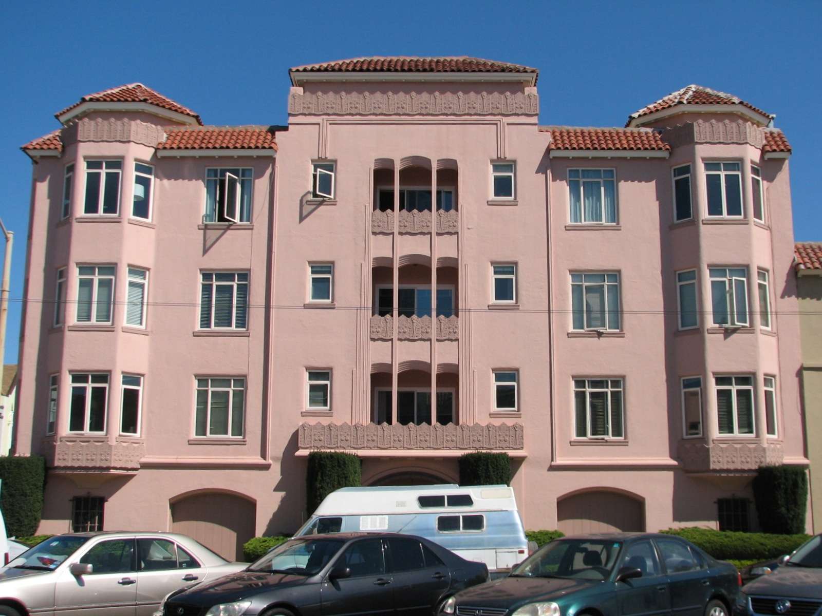
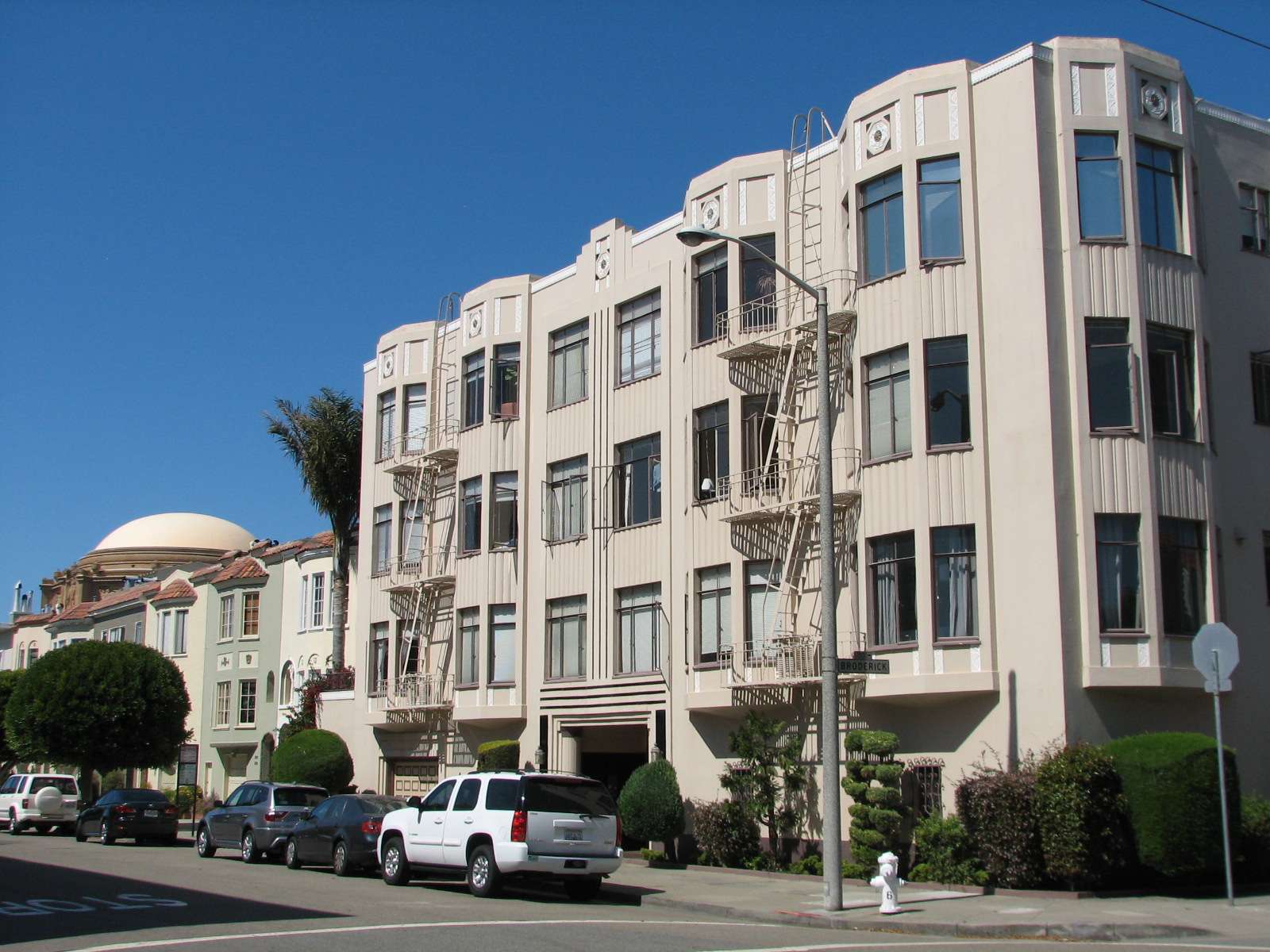
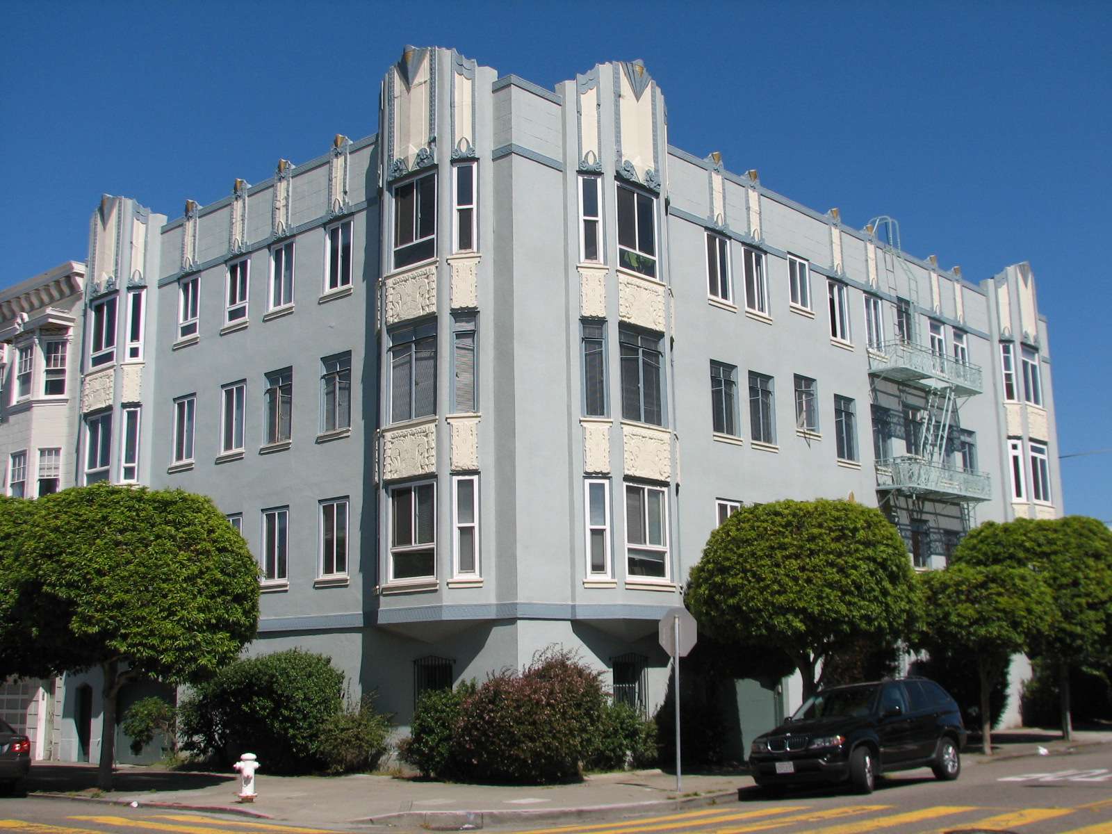
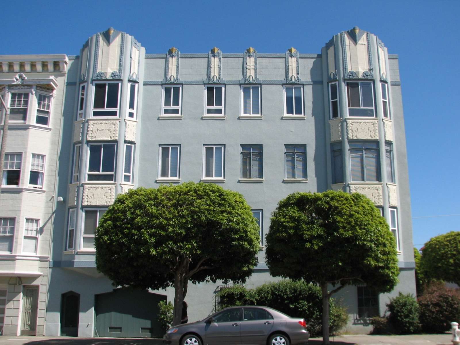
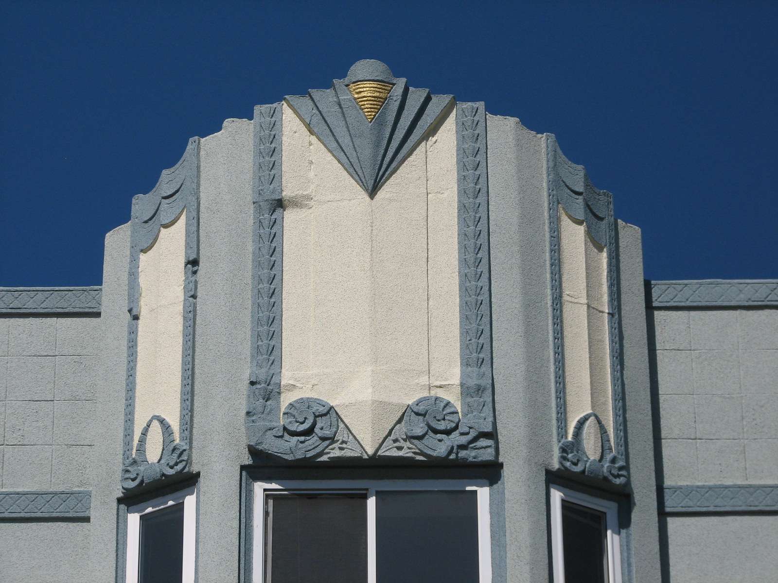
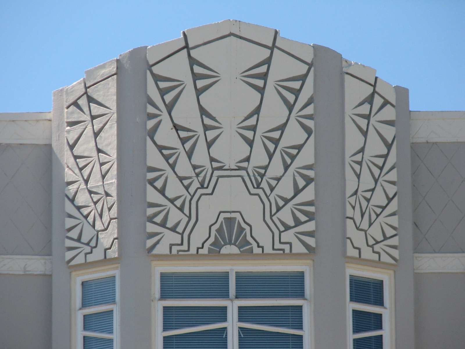
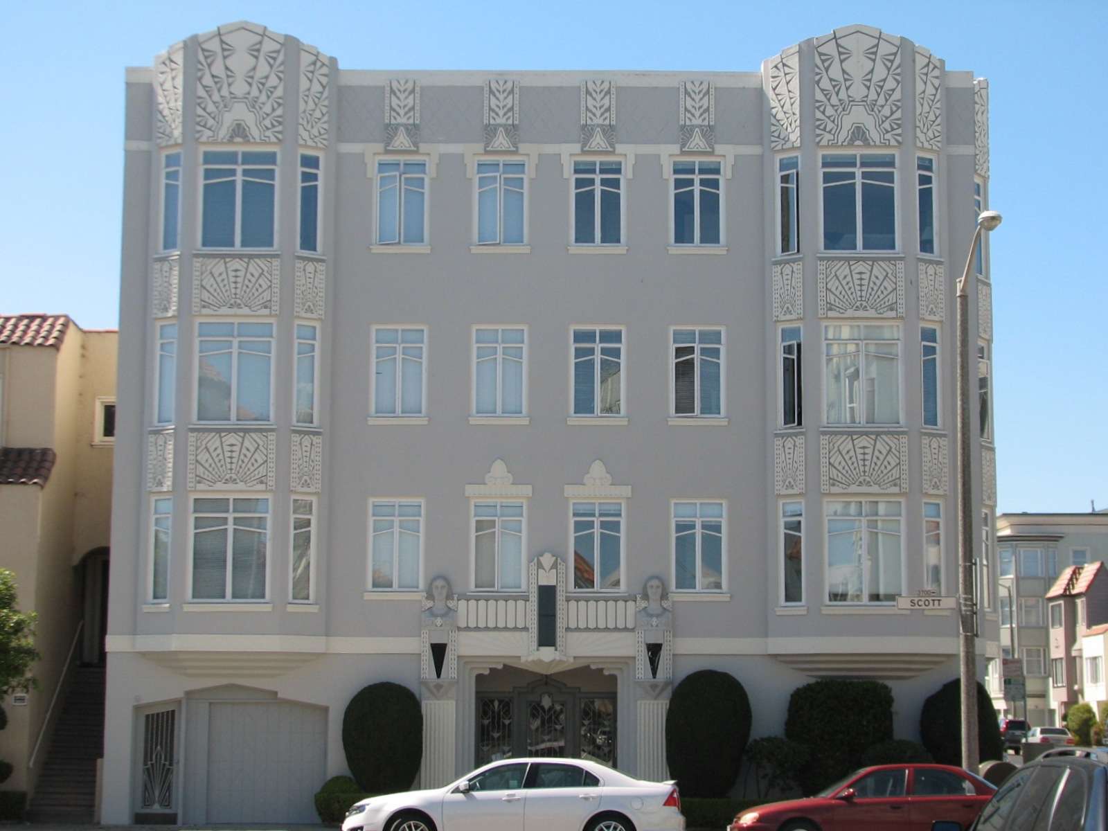
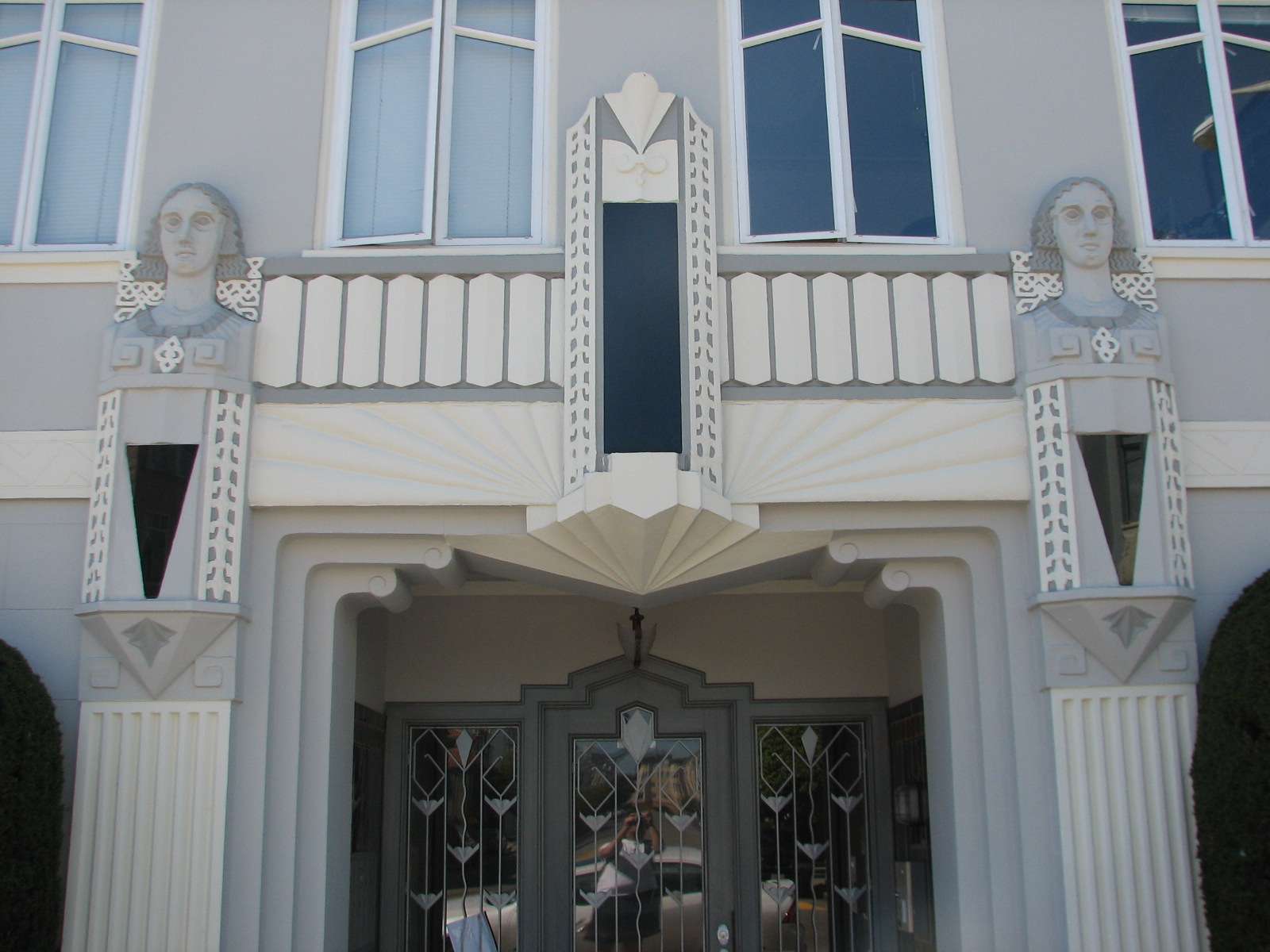
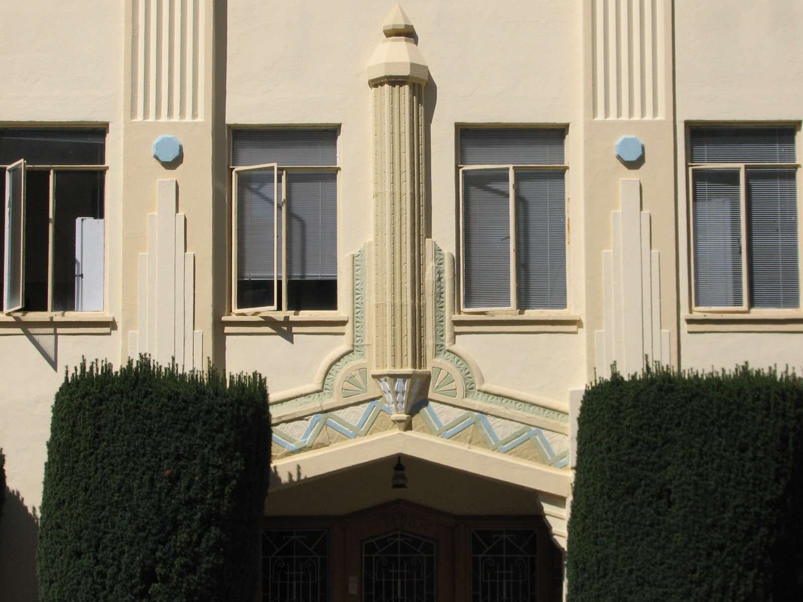
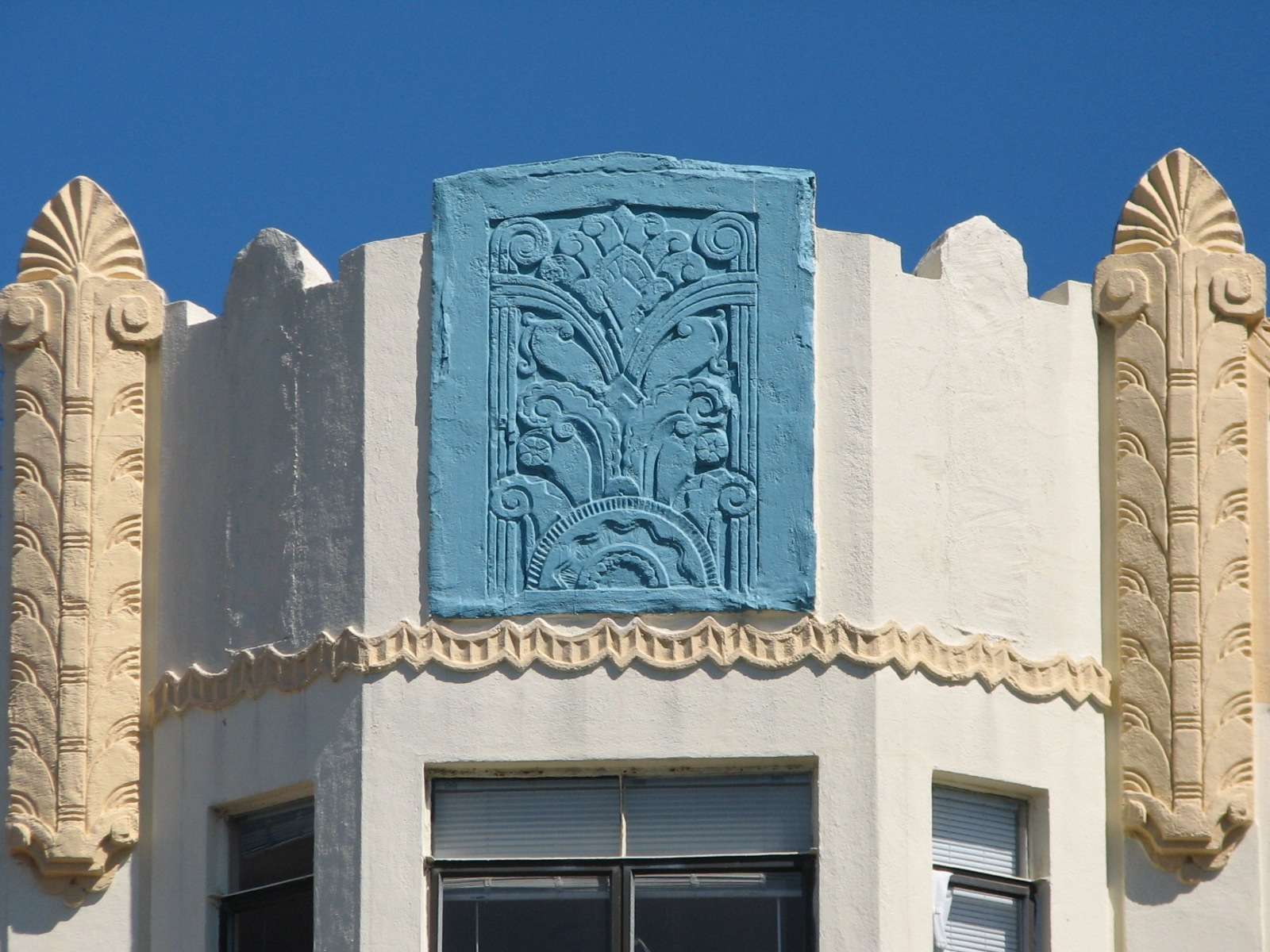
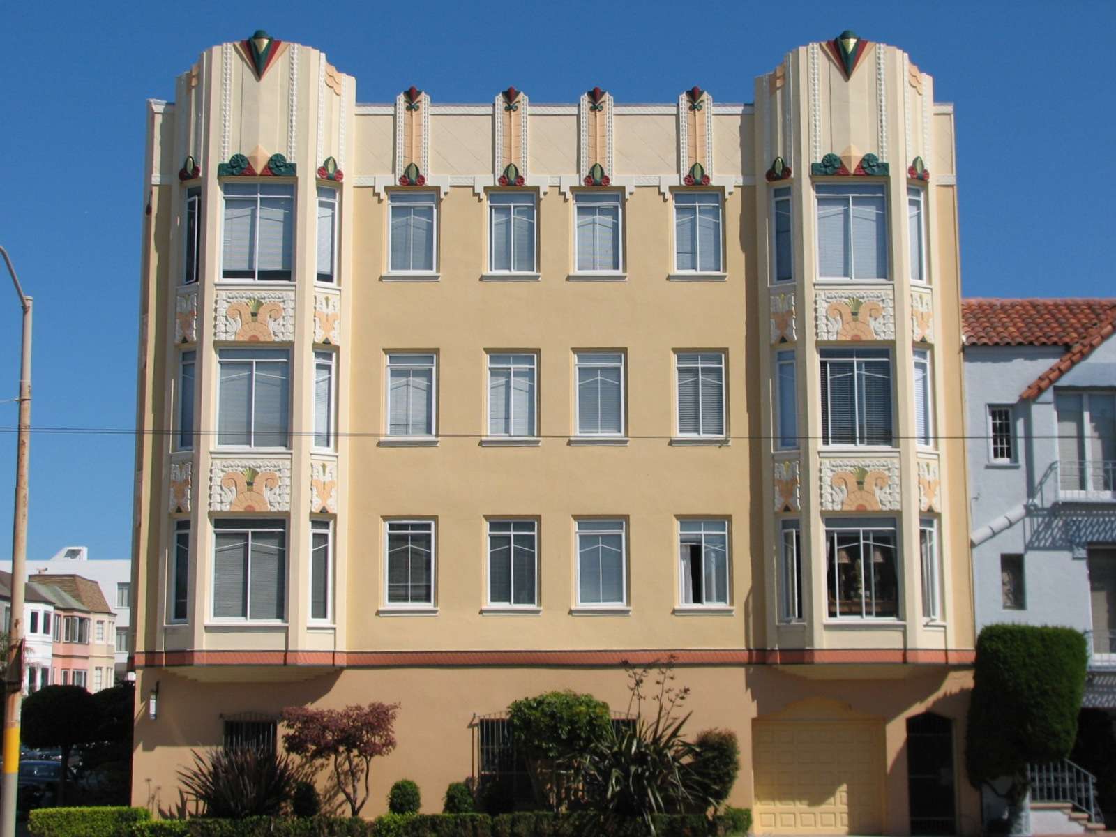
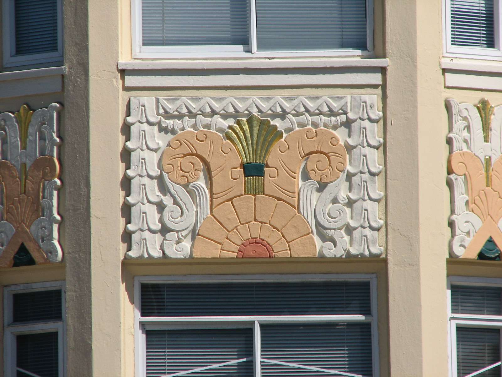
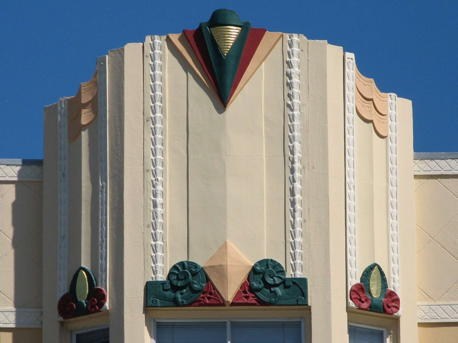
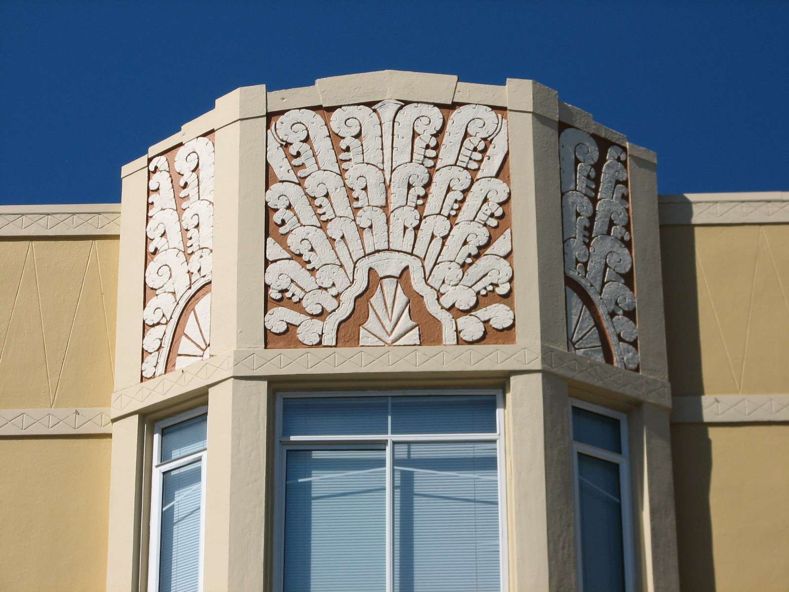
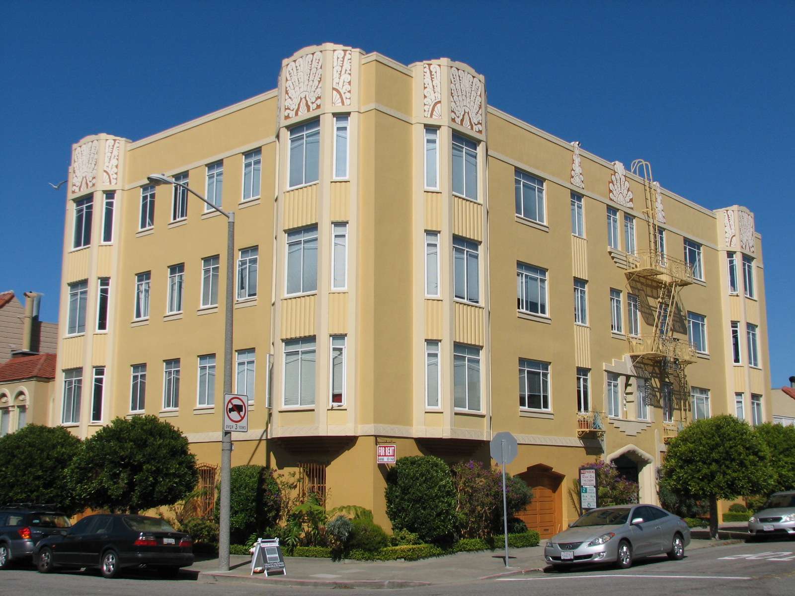
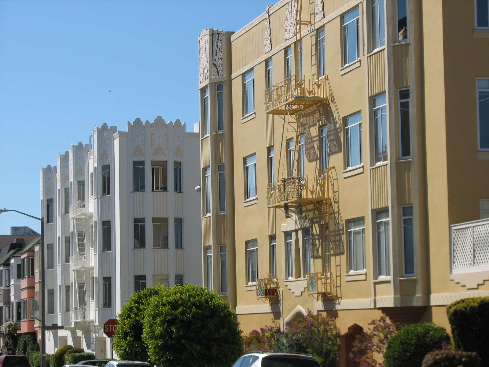
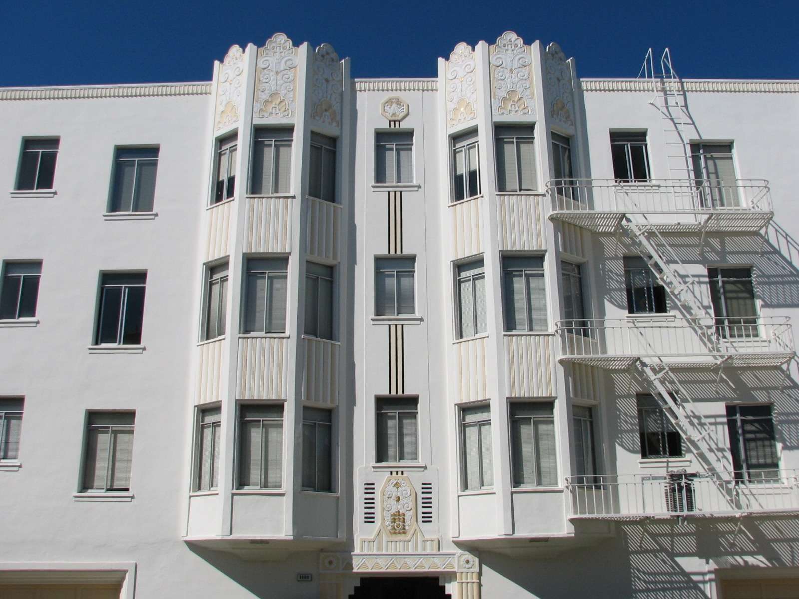
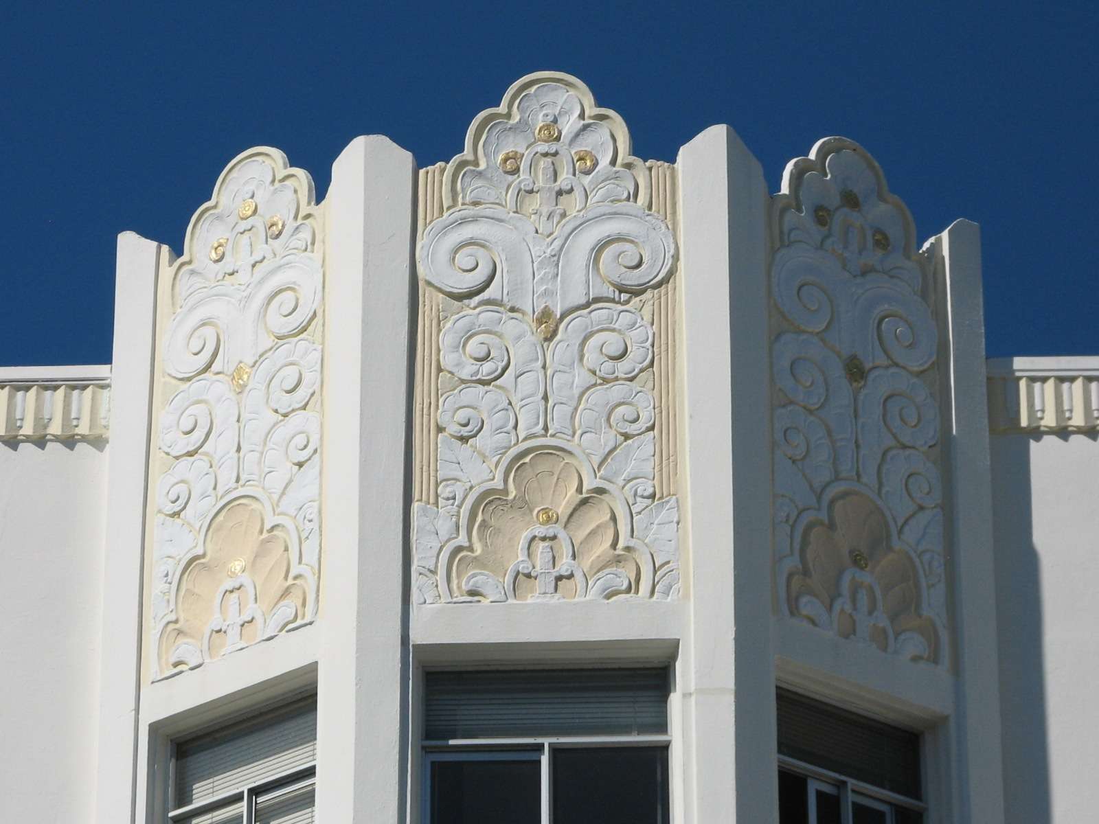
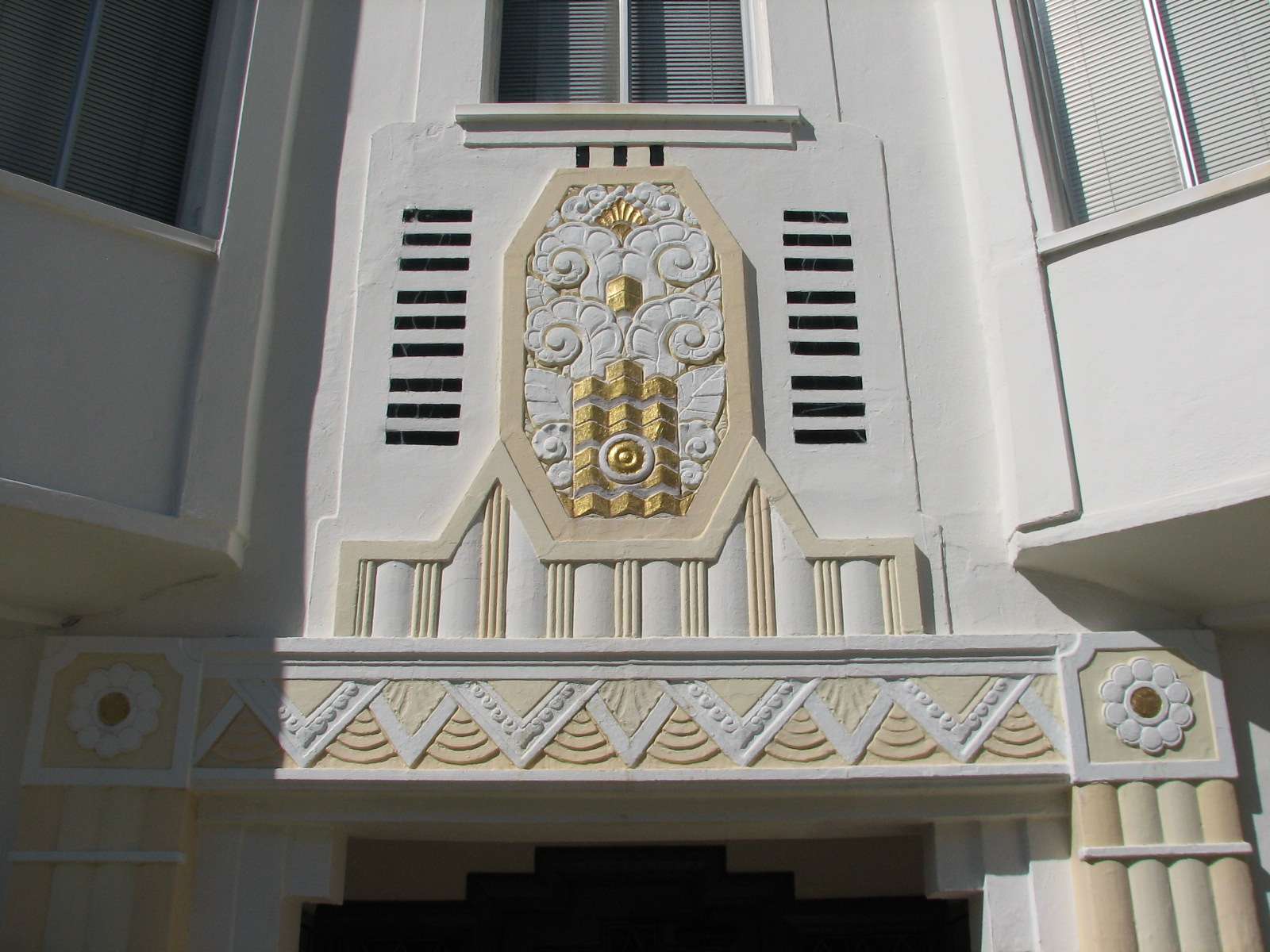
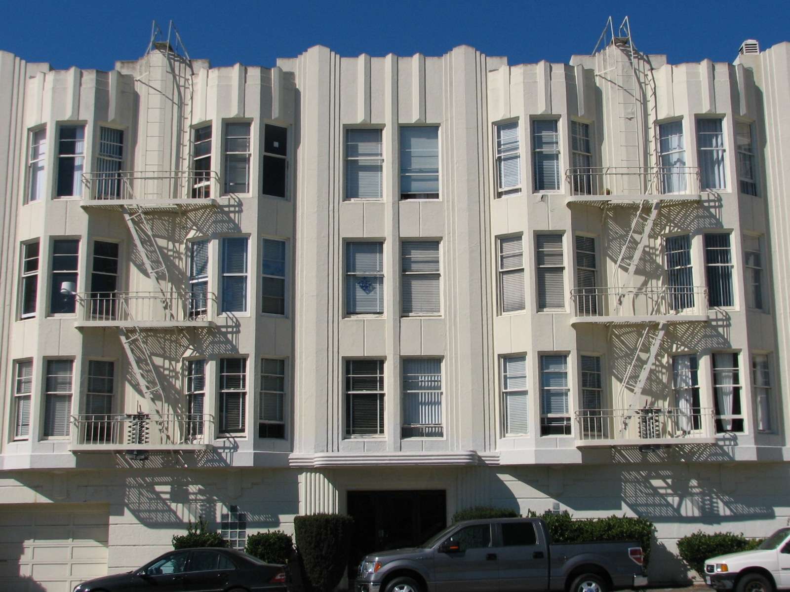
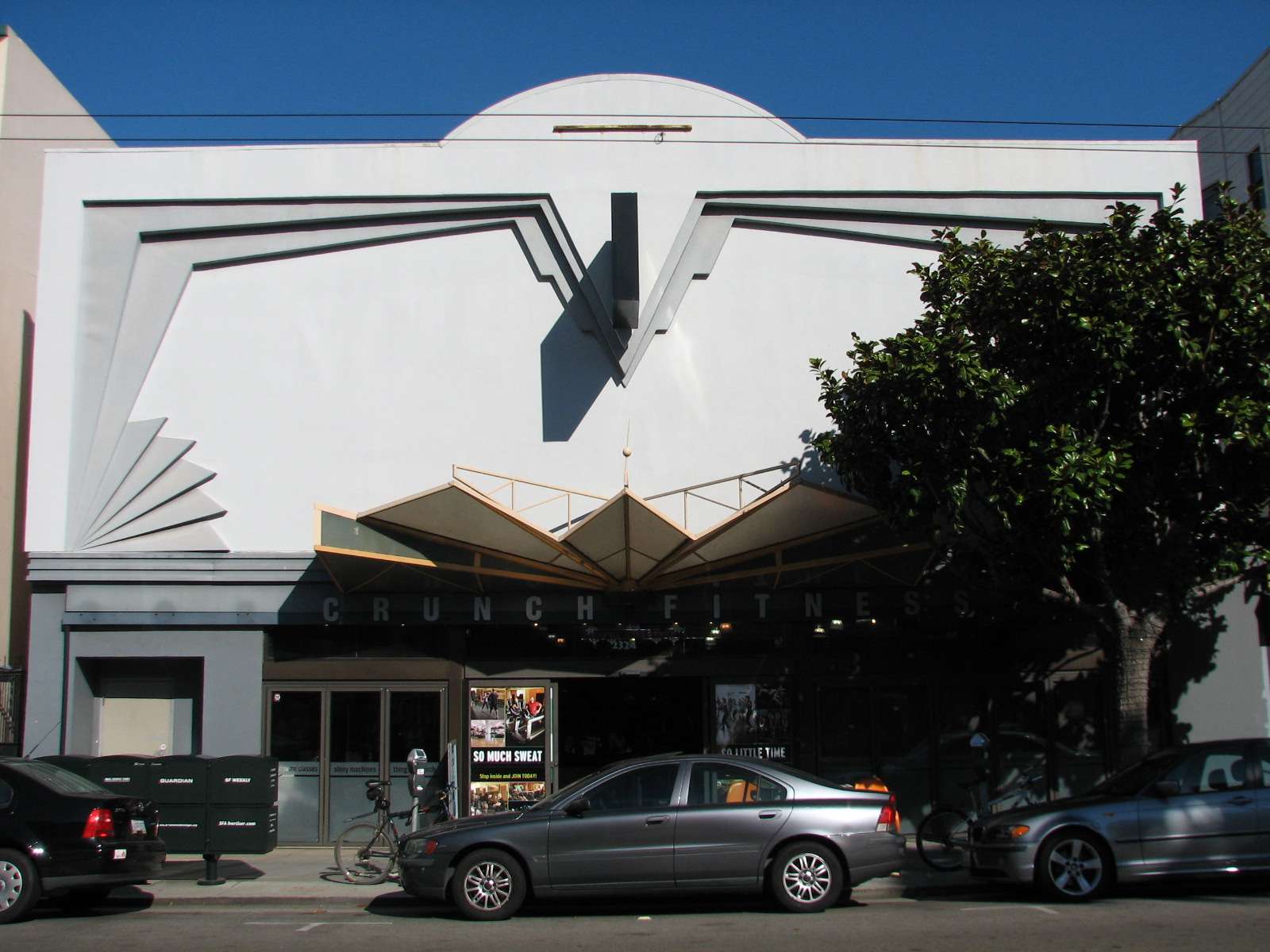
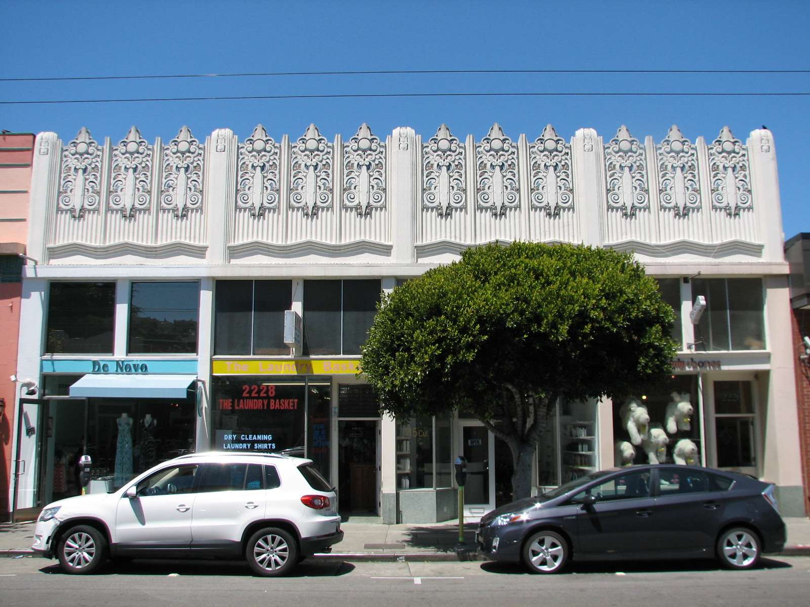
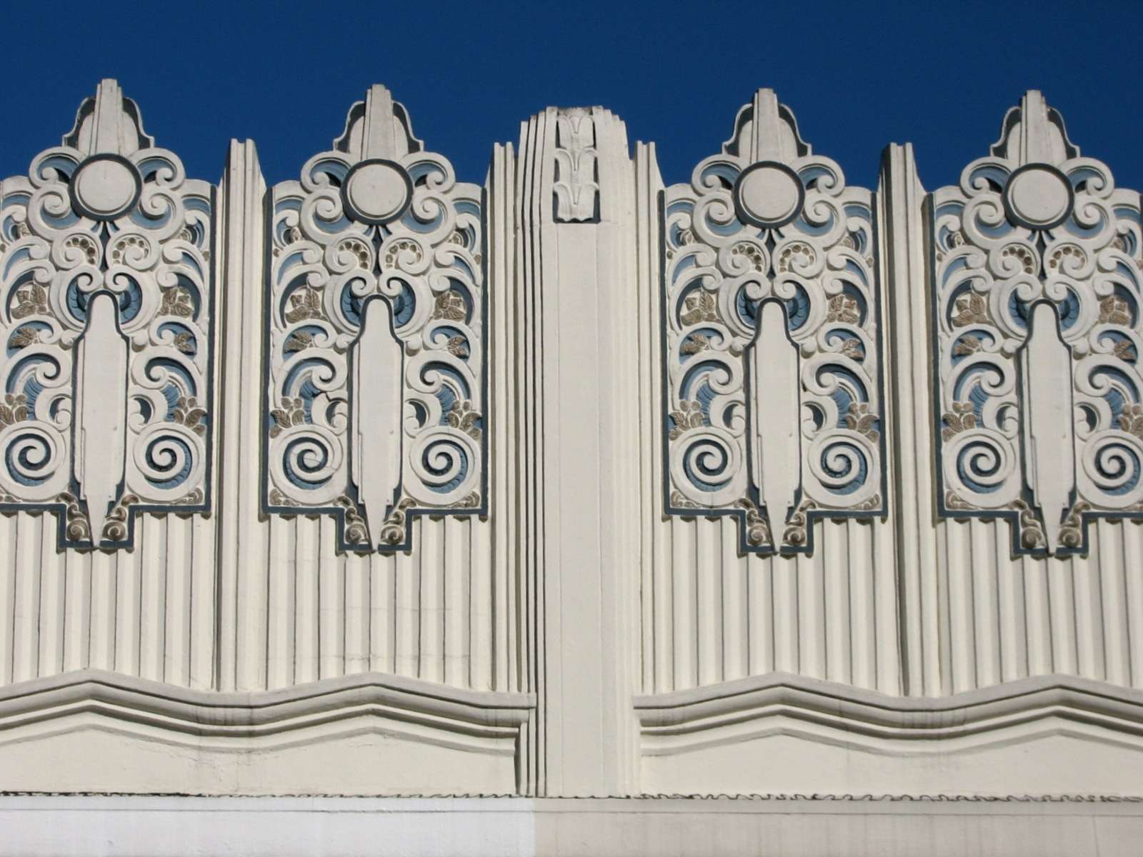
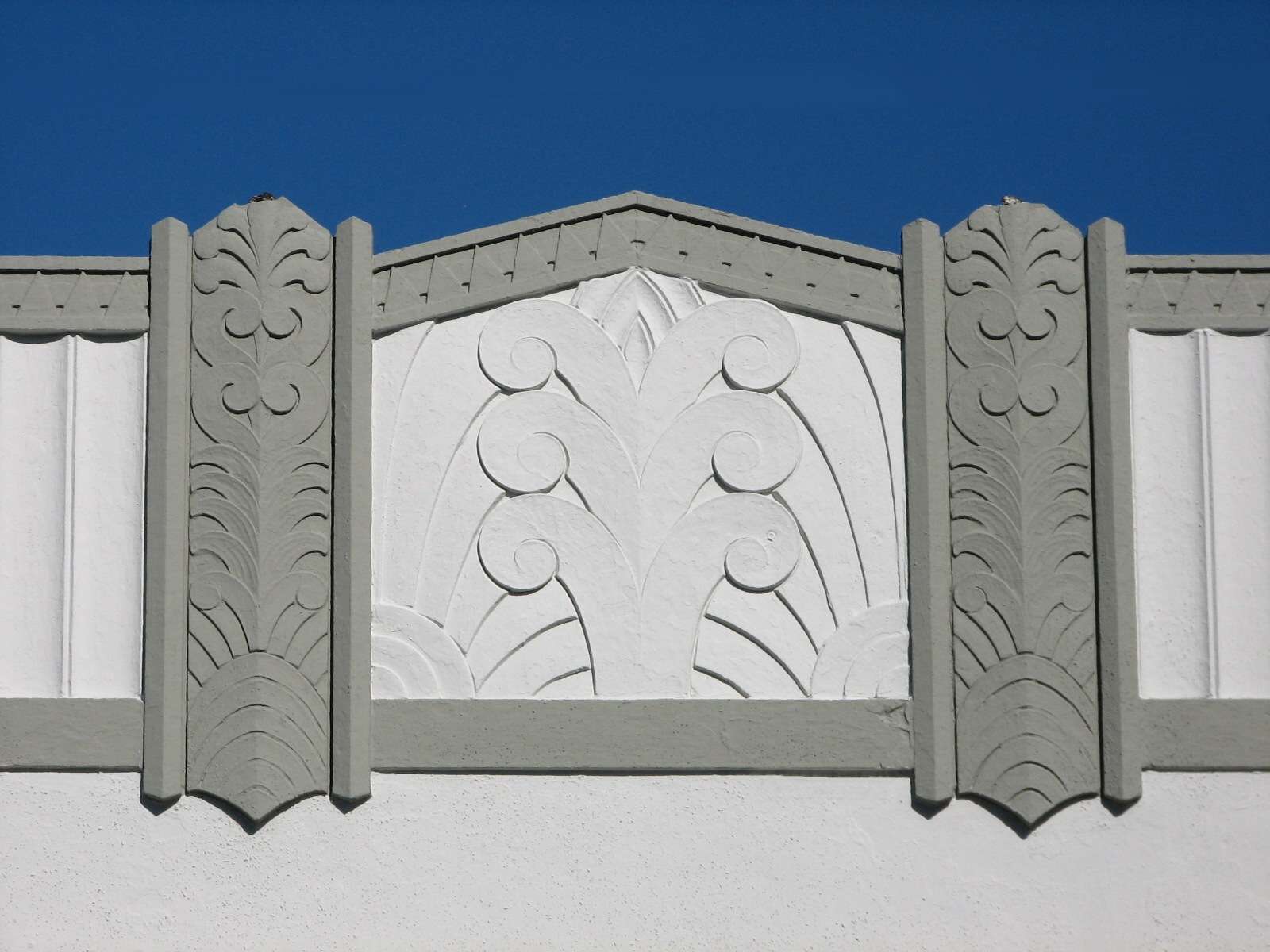
Art Deco apartments:
There are also many examples of the Zig-zag Moderne phase of Art Deco in the area.
Marina Middle School:


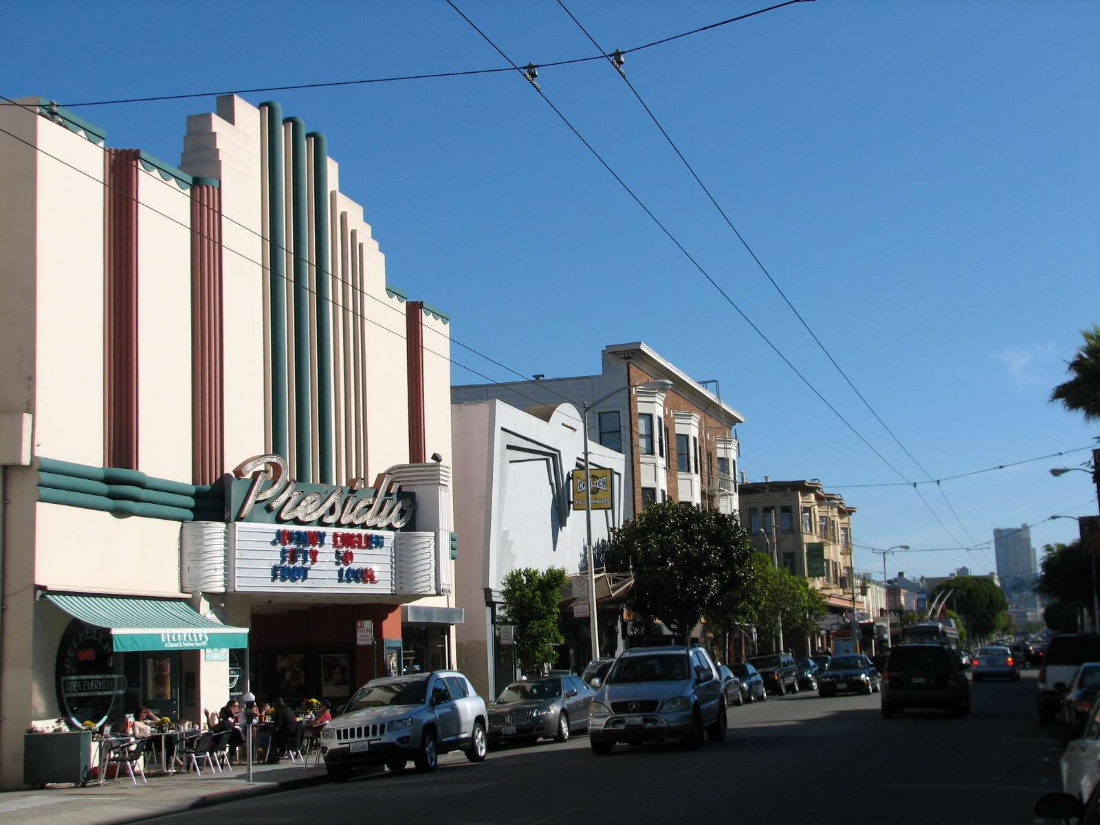
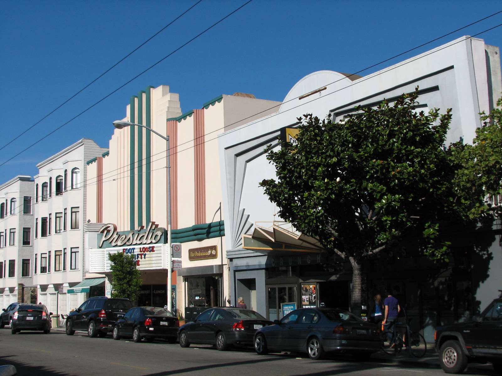
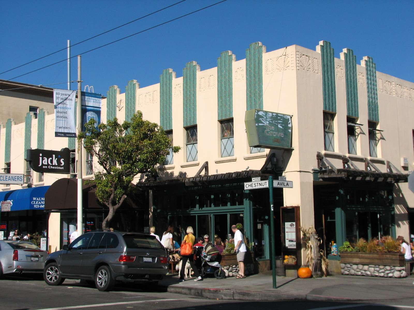
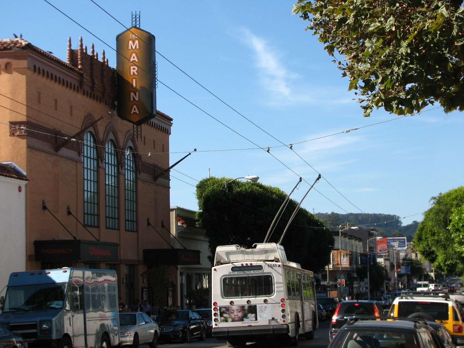
Chestnut Street:
A stretch of this pleasant East-West running street is a commercial corridor that is a mix of small outposts of corporate chains and local stores and eateries. The Art Deco styles of the nearby residential areas are prevalant here as well.

Lombard Street:
The largest street in the neighborhood separates the Marina proper in the North from the slightly higher elevation of Cow Hollow in the South. This East-West street as it travels through Marina is U.S. Highway 101 and connects the Civic Center with the Presidio and Golden Gate Bridge. In a larger sense, it connects Los Angeles with Tumwater, Washington. Along its length are many motels and small businesses but few of its buildings are noteworthy.
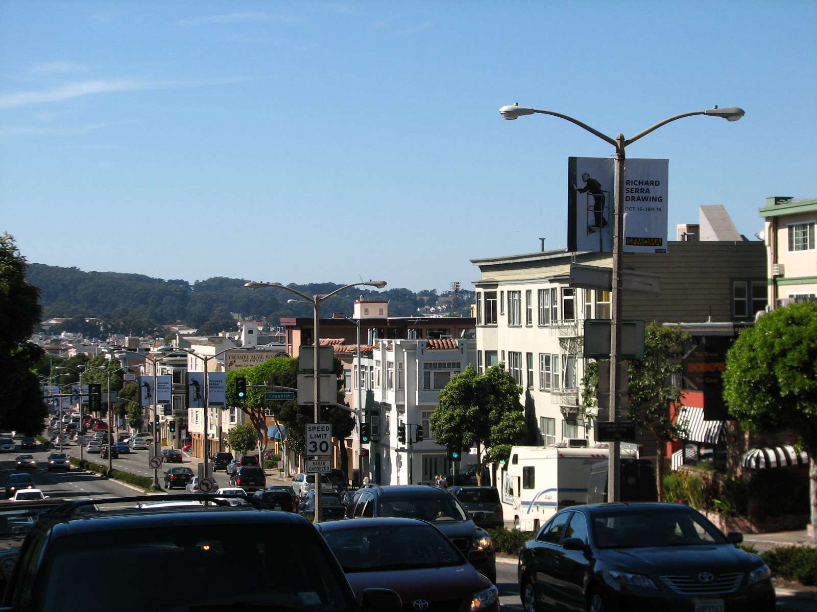
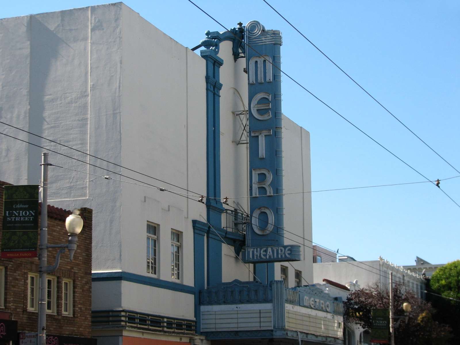
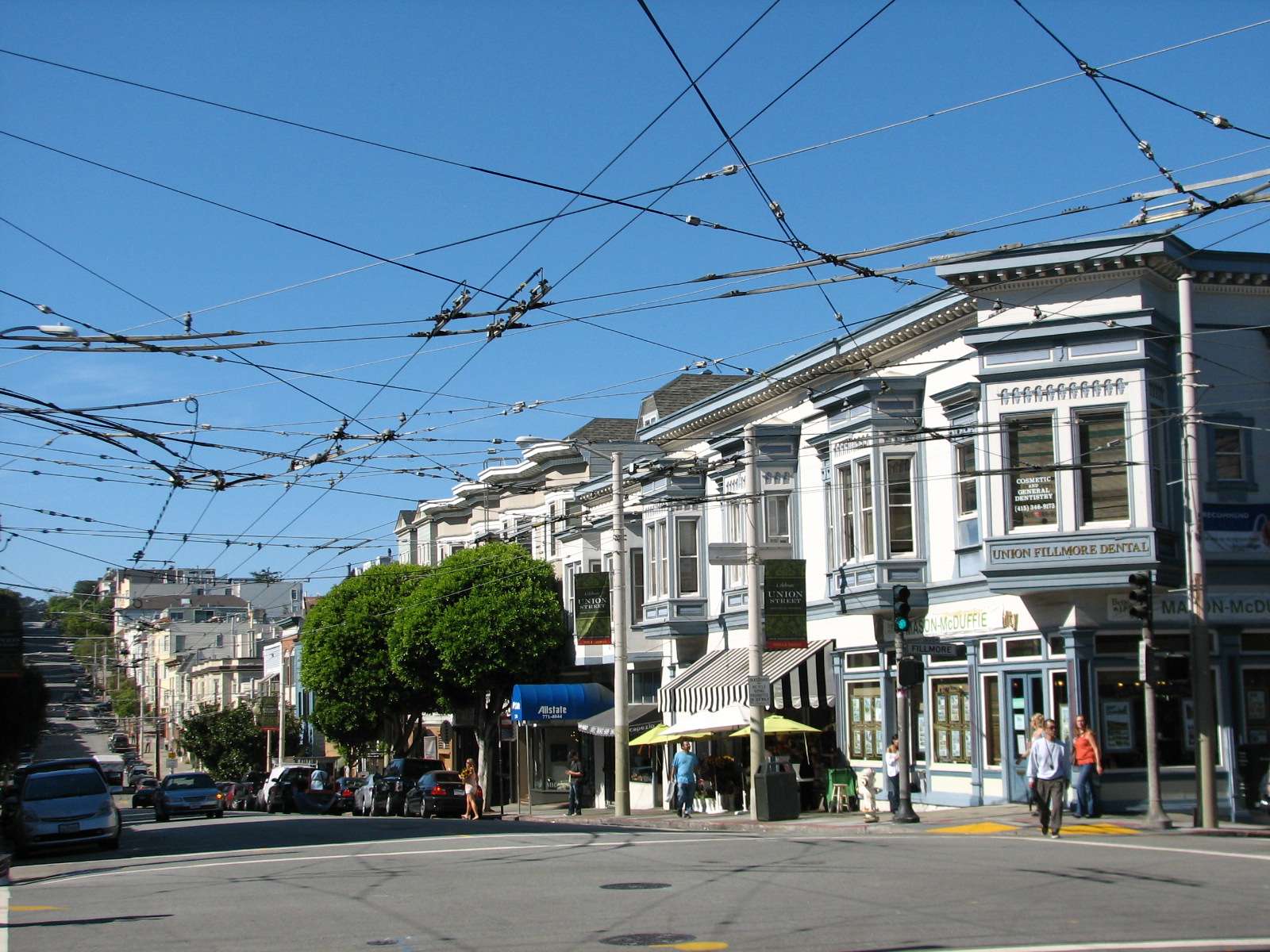
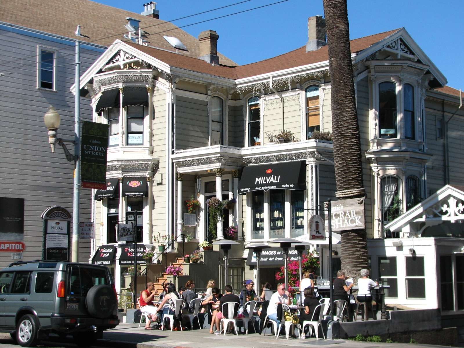
Union Street:
The third commercial corridor of the neighborhood is also an East-West one, although it is not commercial for its entire length. It is another pleasant shopping and dining street, this time located at a slightly higher elevation in the Cow Hollow area that makes up the Southern side of Marina. Buildings here tend to be older than those closer to the waterfront, but a few Art Deco edifices also dot this stretch.

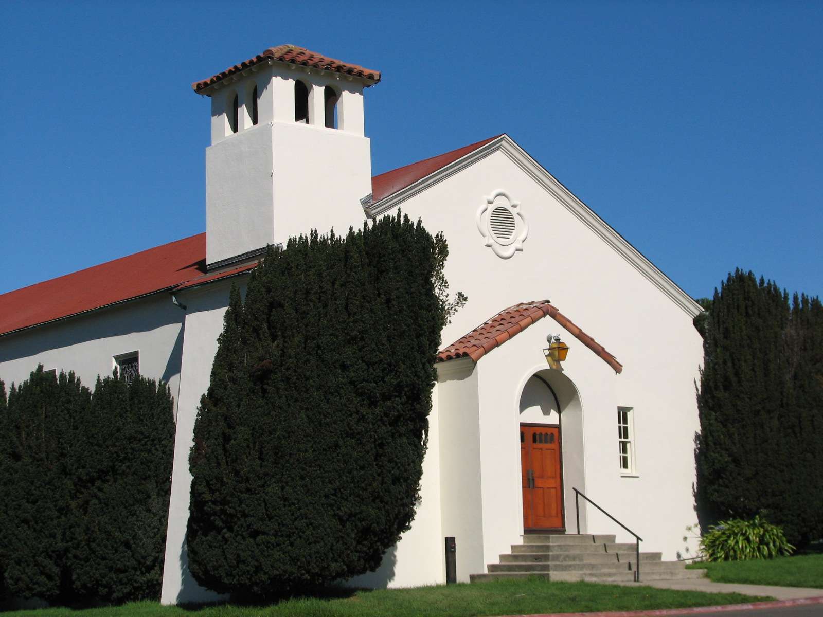
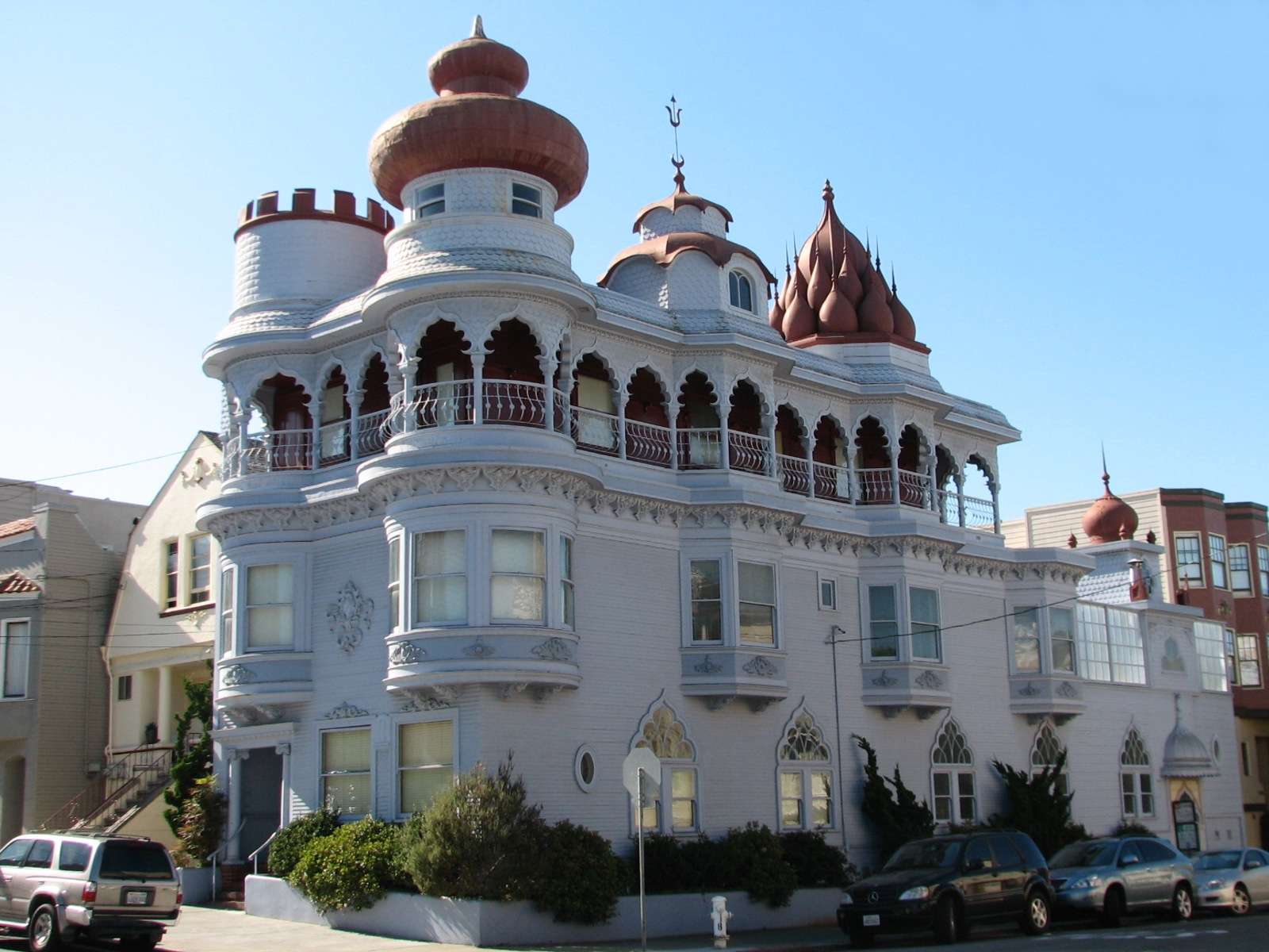
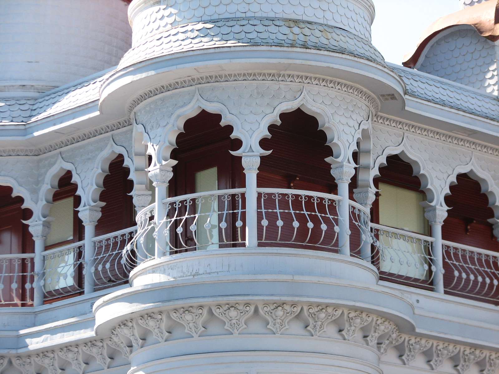
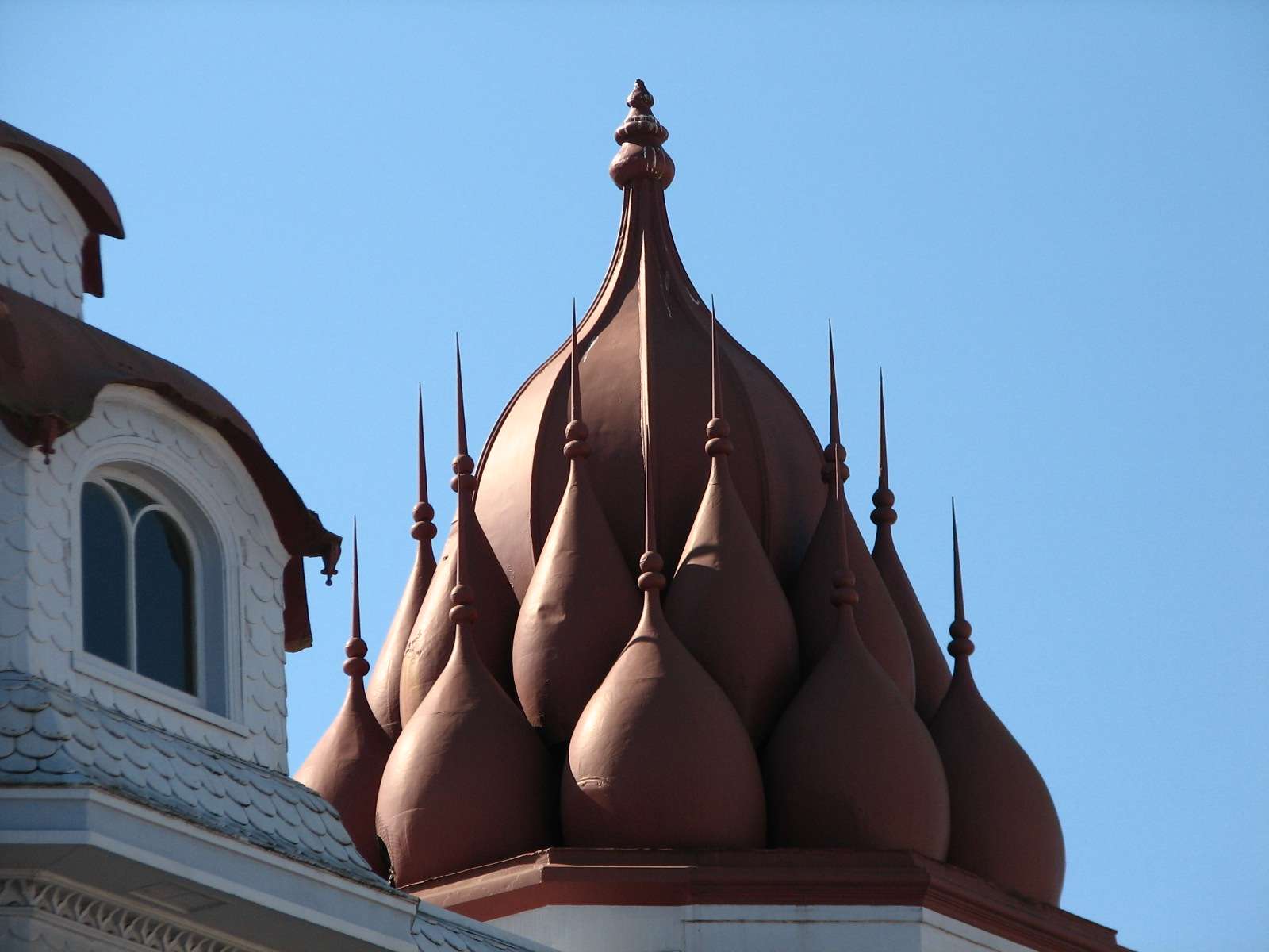
Old Vedanta Temple, 1905:
In Cow Hollow is this fanciful concoction that was reportedly the first Hindu temple in the Western Hemisphere.
All photographs taken in 2011 by geomorph.


 Threaded Mode