Google Earth would have been a good tool to use...this was just a quick thing I put together (Who gives a flying duck about downtown Niagara Falls or Grand Prairie anyways)

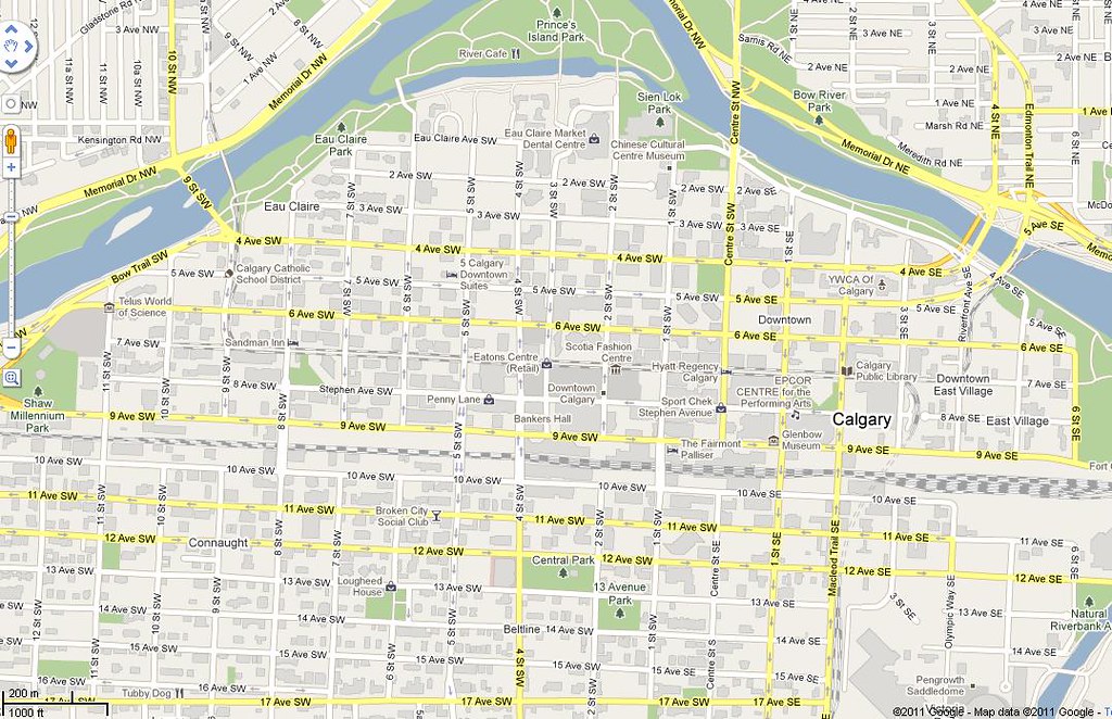
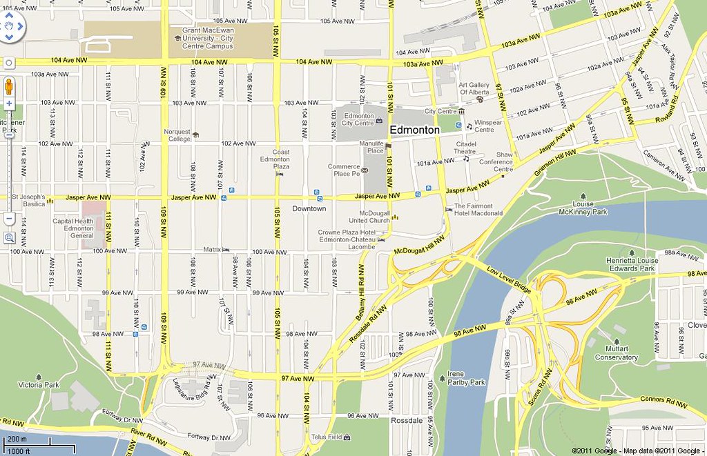
jk...A few side notes though...the scales do differ as you zoom in and out and move around so nothing
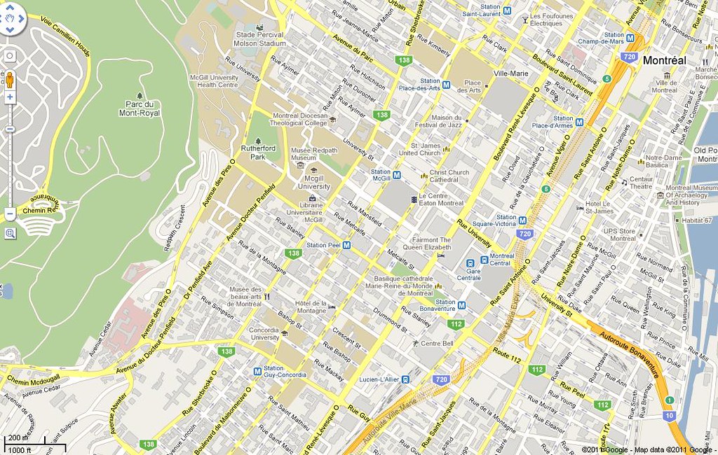
is ever exact when you compare to different cities. I would have liked to use a few more Maritime cities and some more in Ontario though.
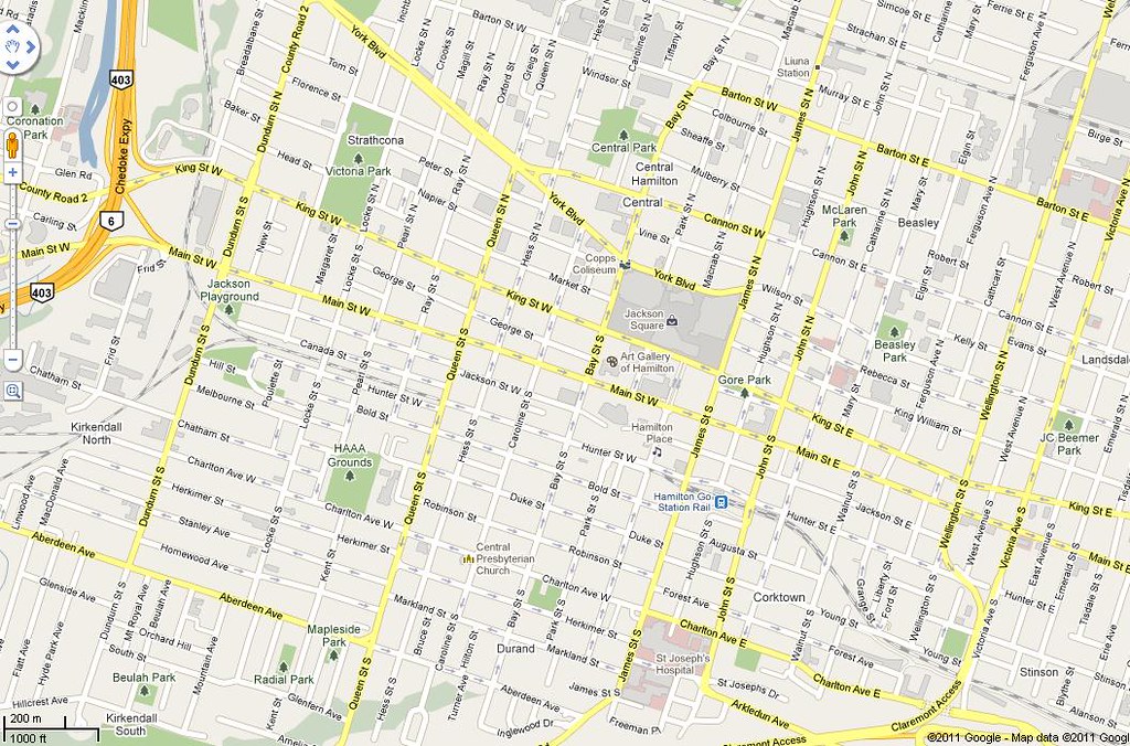
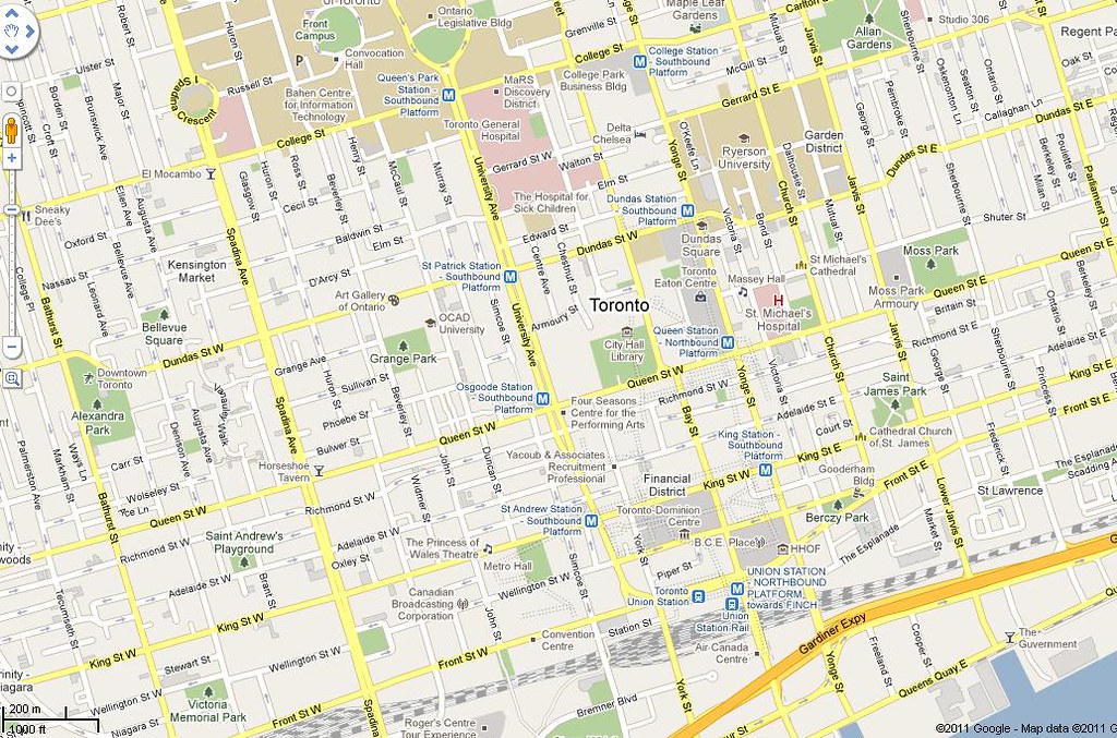
I also get that Downtown Toronto is immense but the said map just gives you a general idea of the main part of the area and most of us anyways are well aware of where you can find it and what it looks like. Bloor and Yonge (Midtown) is nearby but you can only fit so much onto a certain zoom level and a computer screen for that matter. Just the closer you get, the more you can grasp the layout.
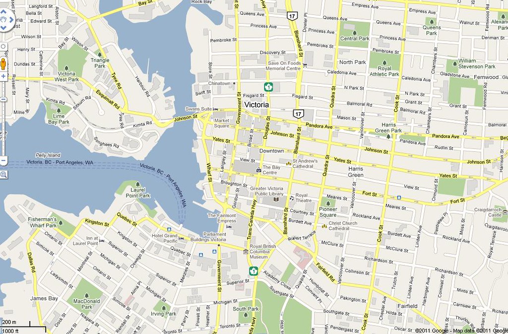
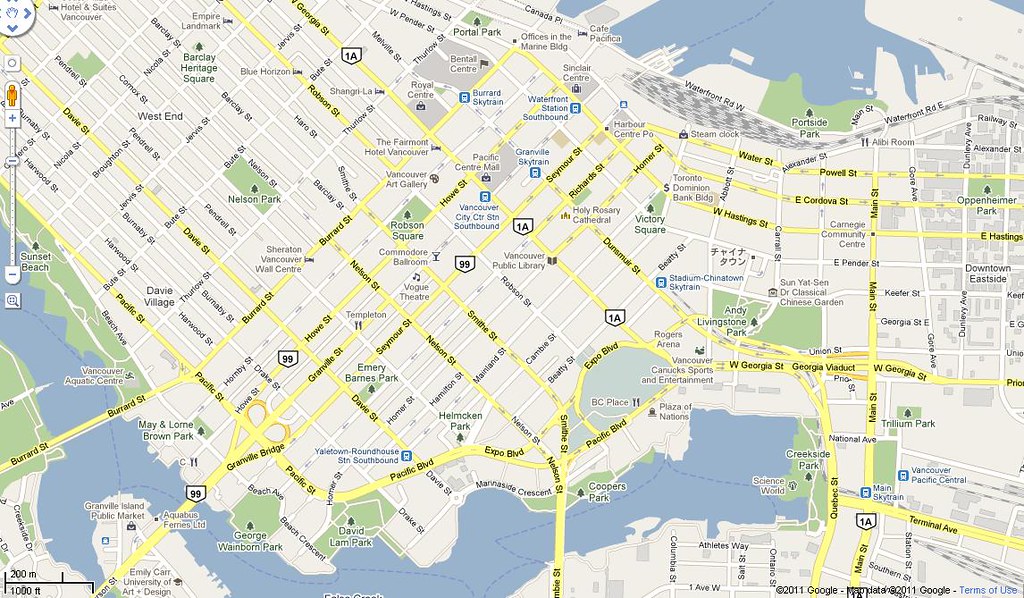
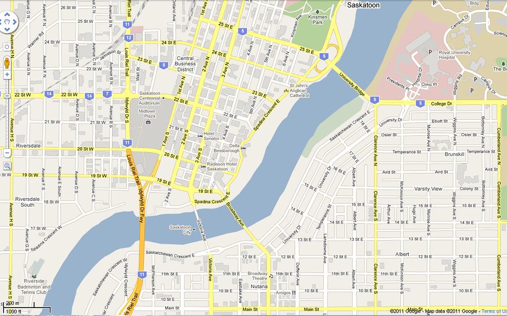
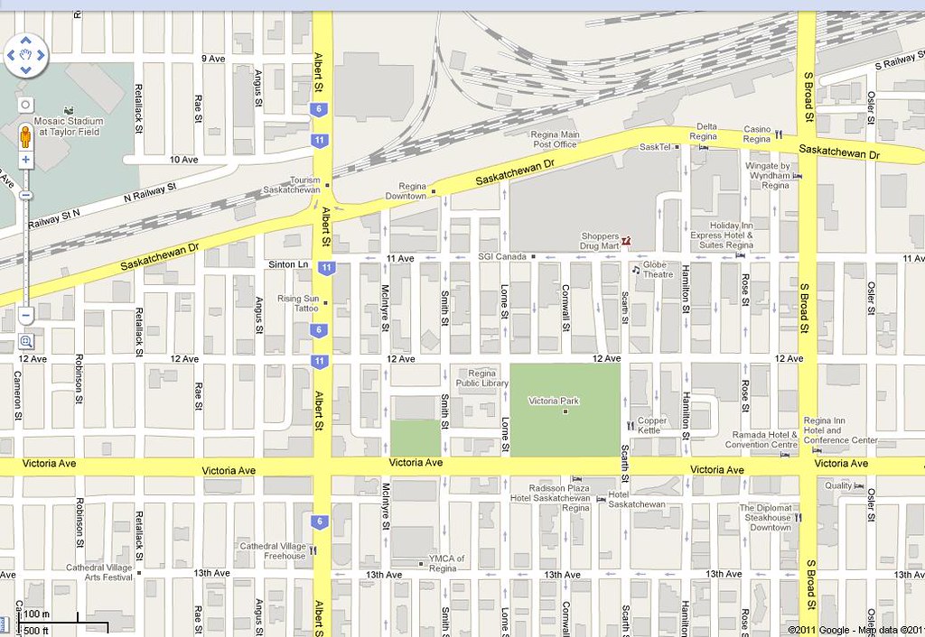
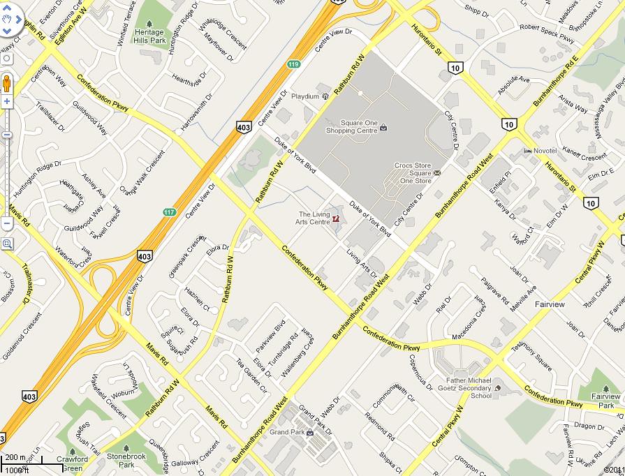
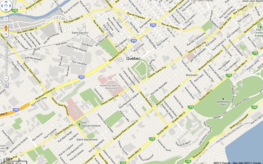
With that said, Regina's downtown is looks pretty dinky on a map (but dense in person) when it's zoomed out so that's why I decided to go in a little bit closer. Quebec City has a core but I find it hard to call it a typical downtown, so I agree with Rico. I may as well have put in the Old City instead. Mississauga (North York West) though still just reminds me of an orgy of condos and a few office towers thrown in the mix to even it out.
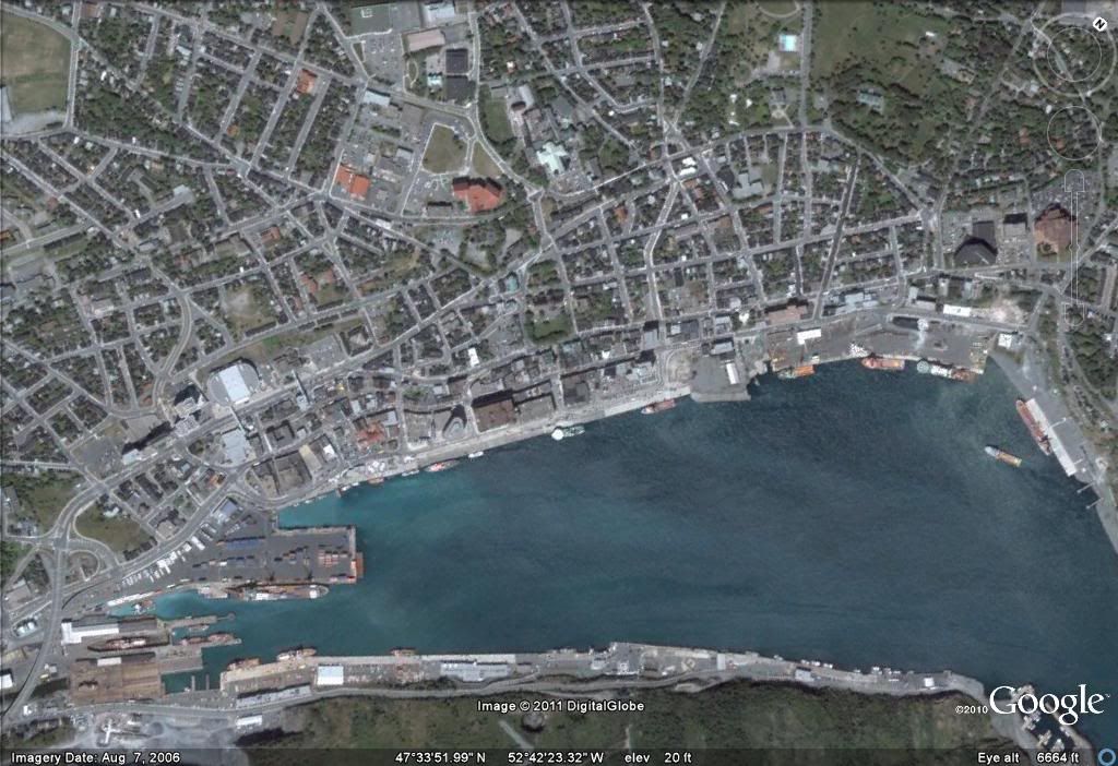
In essence, a satellite view would very well tell more of a tale about the layout of the cores. I'll try and play around and see if I can rig something up at some point


 Prev
Prev


 )
)


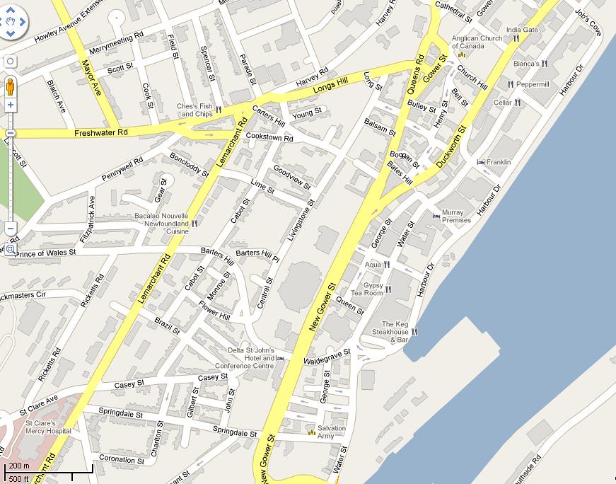


 No love for Grande Prairie and our marvelous downtown?
 If so, then he has to add a lot more (Yellowknife, Whitehorse, Kelowna, Kamloops, Prince George, Red Deer, Medicine Hat, Fort McMurray, Grande Prairie, Brandon, Thunder Bay, Sault Ste. Marie, Sudbury, St. Catharines, Niagara Falls, Brampton, Fredericton, Moncton, Saint John, Barrie, Kingston, etc.)


 Linear Mode
