Thanks, Matt.

*****
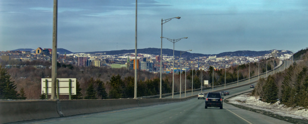
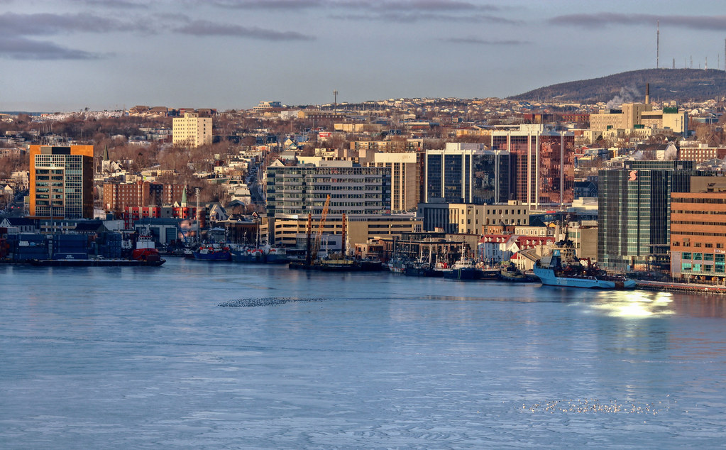
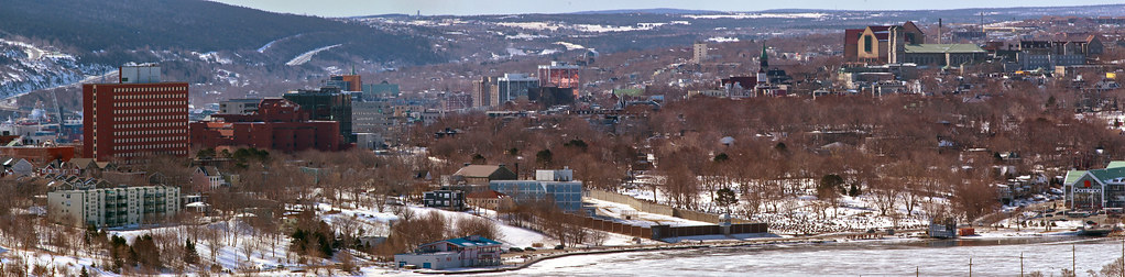
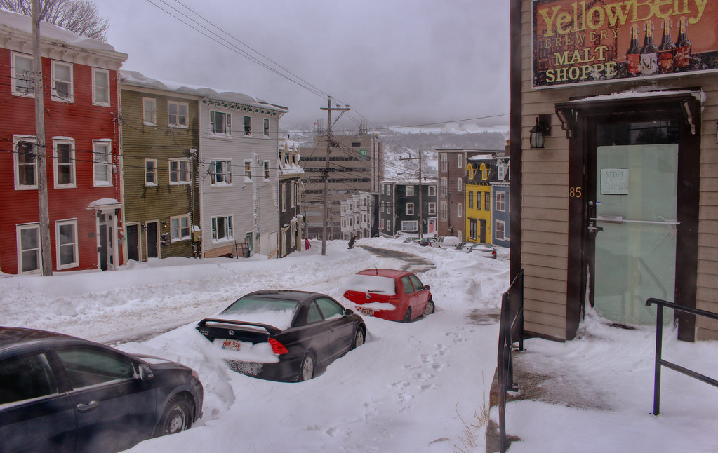
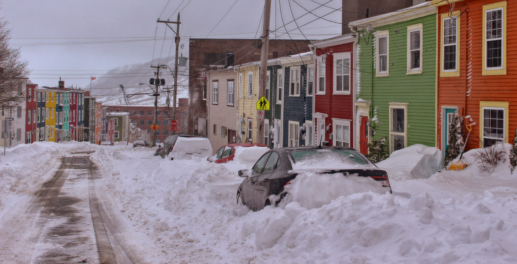
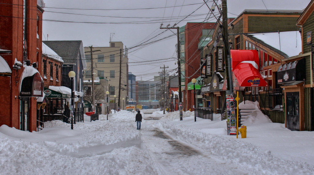
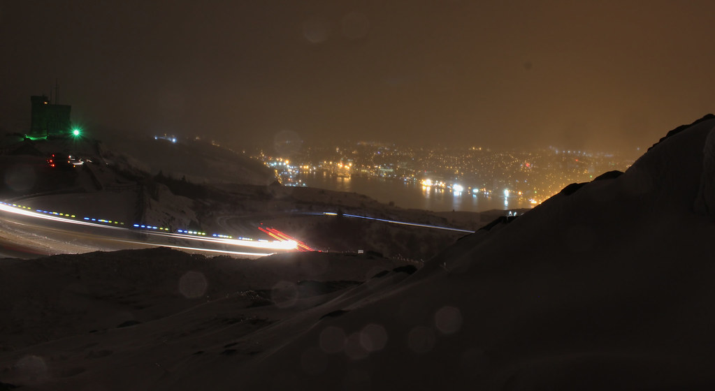
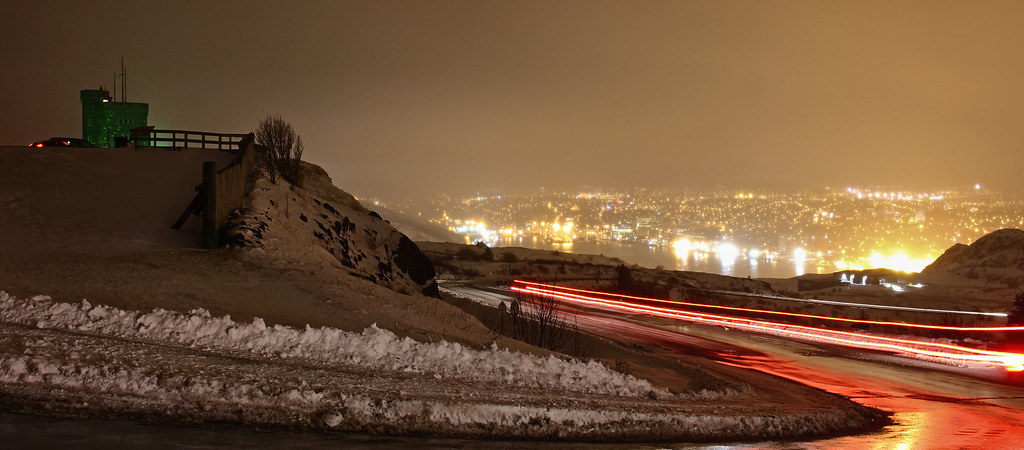
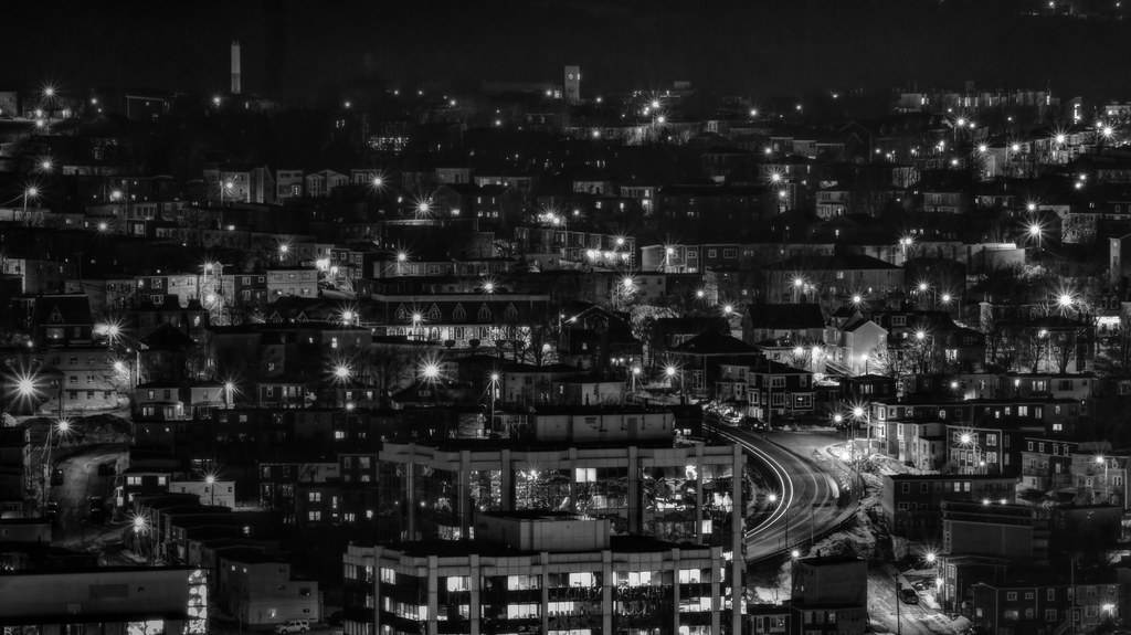
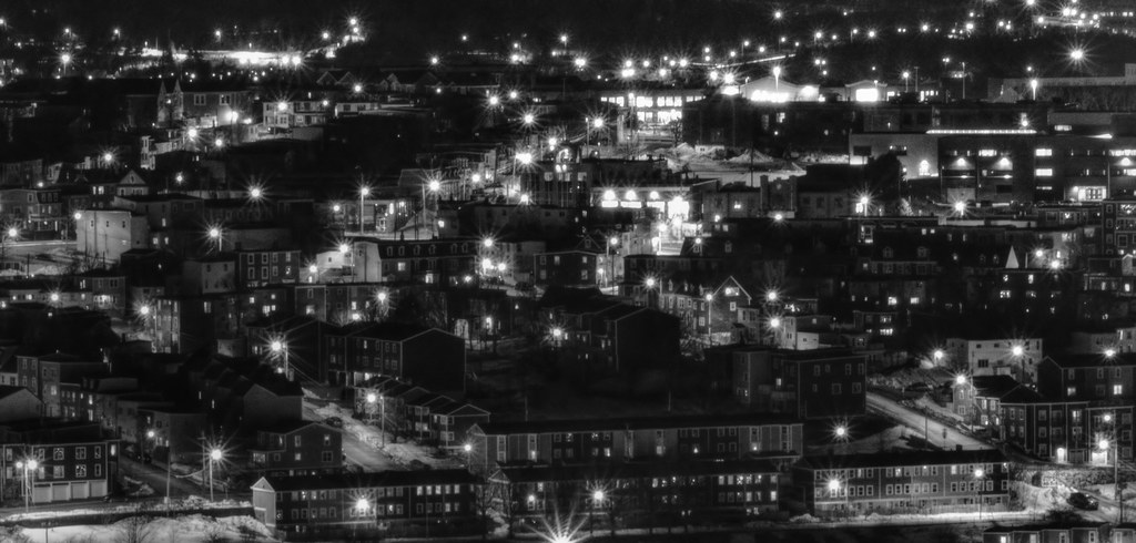
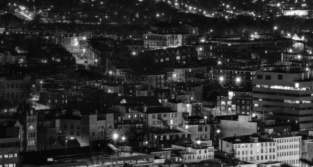
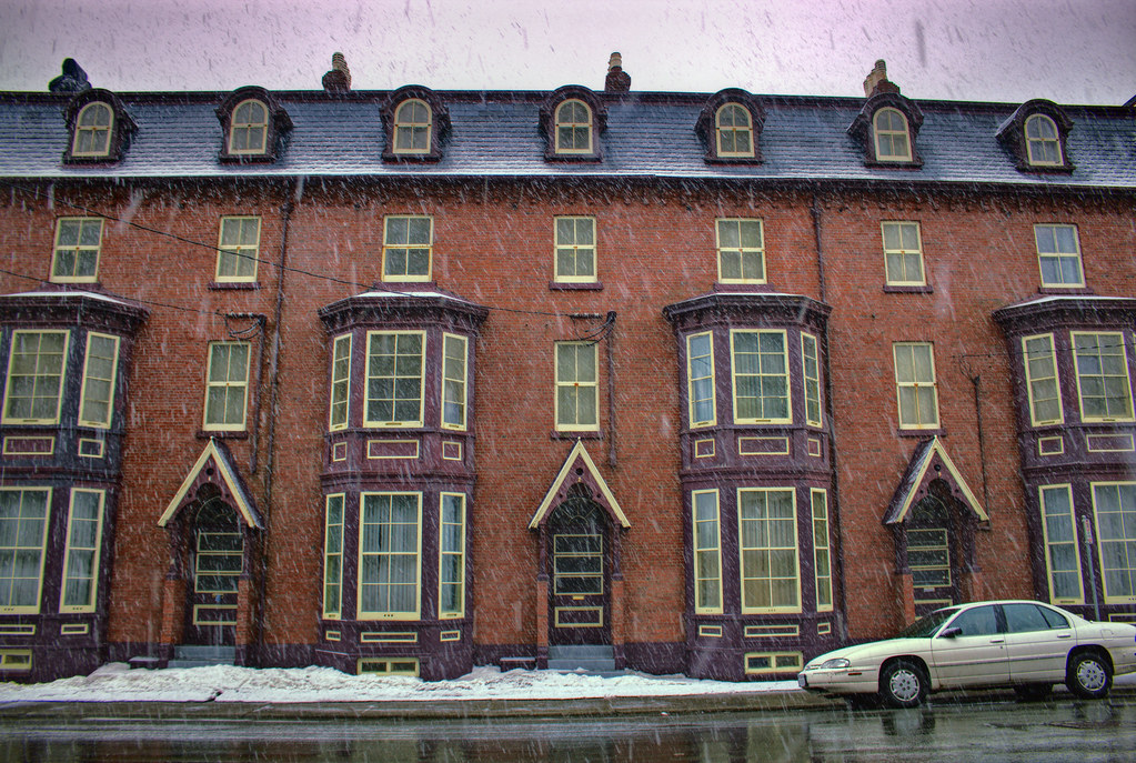
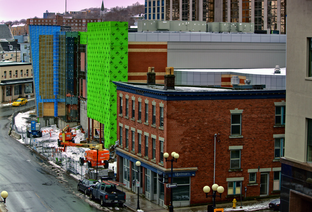
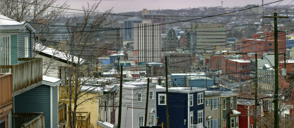
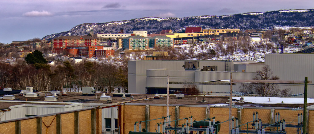
Pitts Memorial Drive today, the quickest route to downtown, coming back from our hike today. It's 26 km in the summer, the hike we did, but faster in winter.
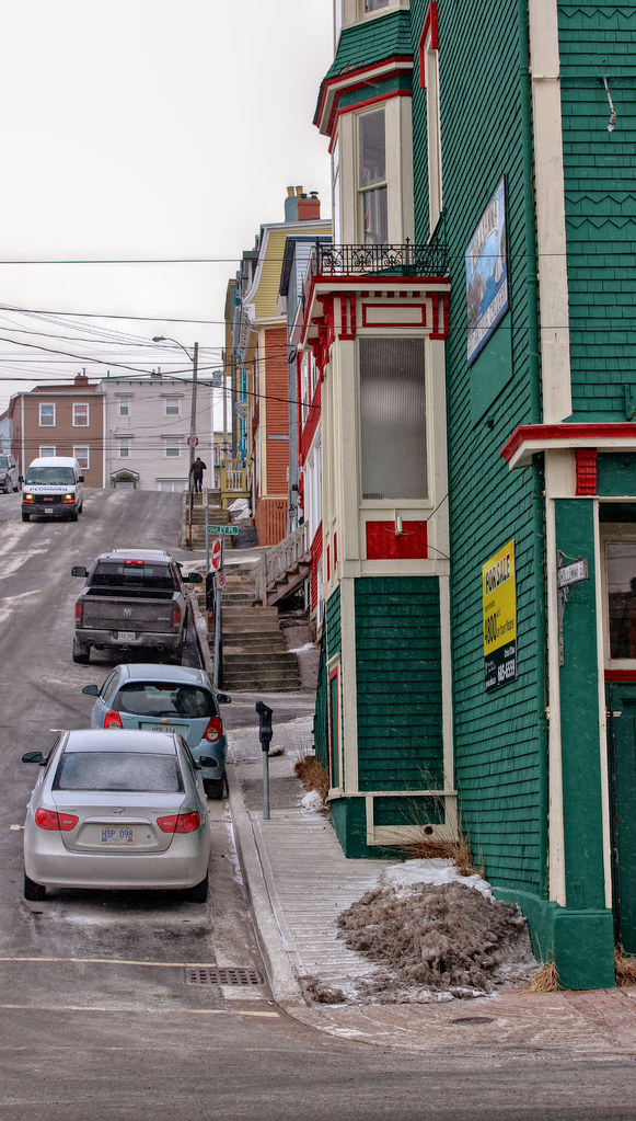
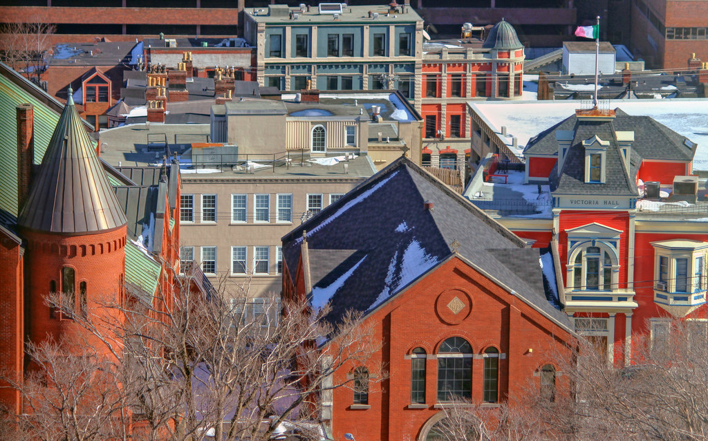
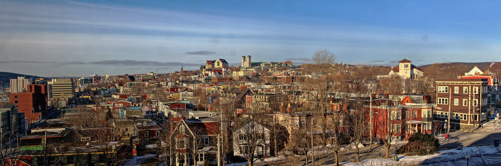
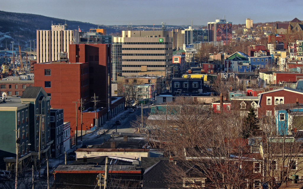
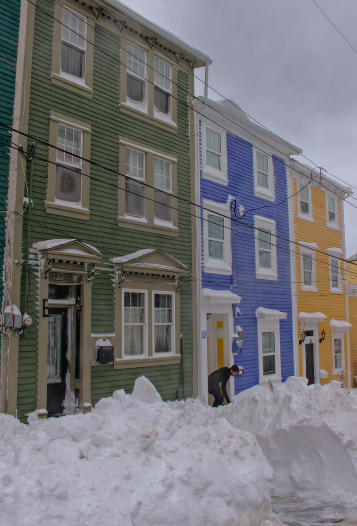
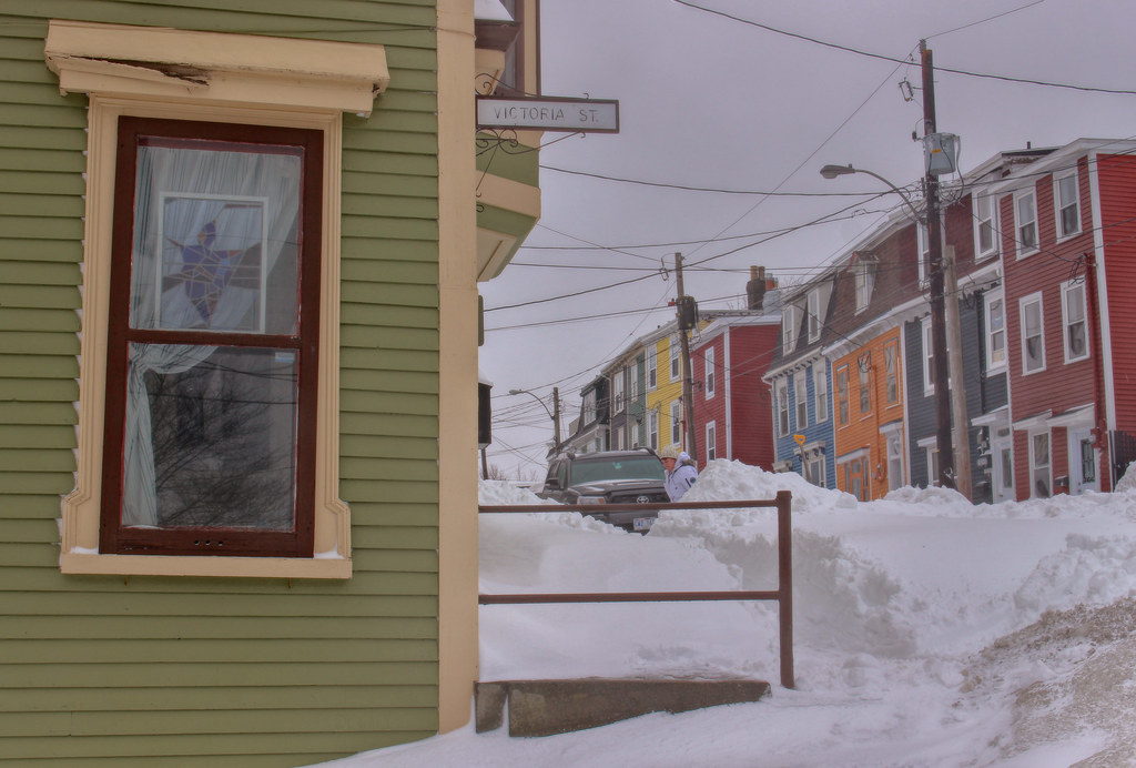
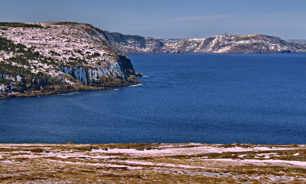
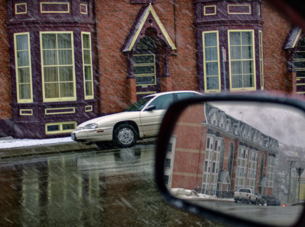
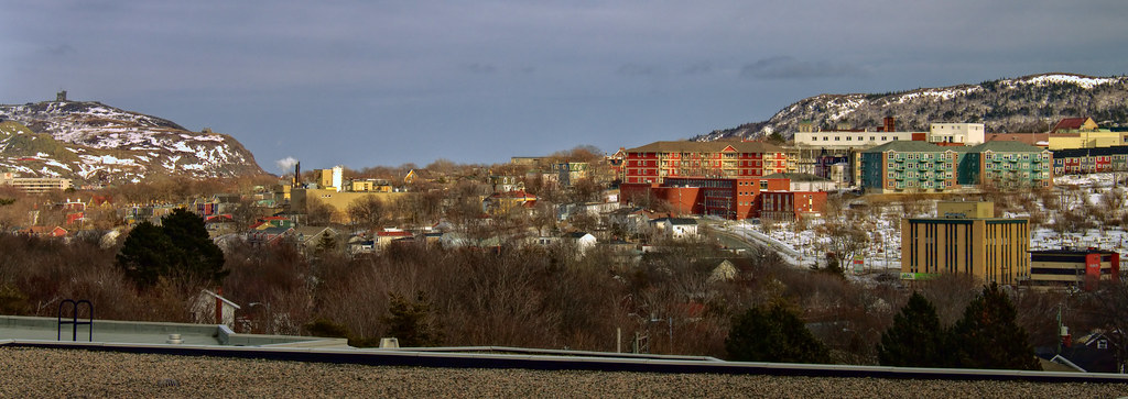
Cabot Tower and Signal Hill on the horizon to the right; downtown just below that. I don't know what this little road is called... probably still Commonwealth. It runs from Old Placentia Road to Ruby Line, but you can turn onto Memorial roughly in its middle (just ahead of me in this view). Somewhere left of that white truck the border between St. John's and Mount Pearl winds through the houses.
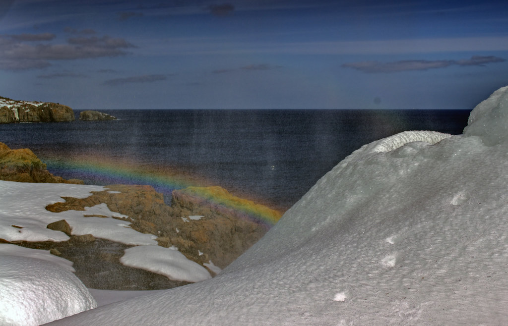
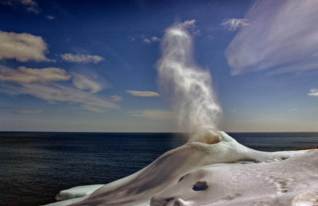
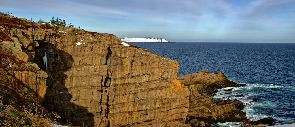
 The Spout
 by
Rabbittownie, on Flickr
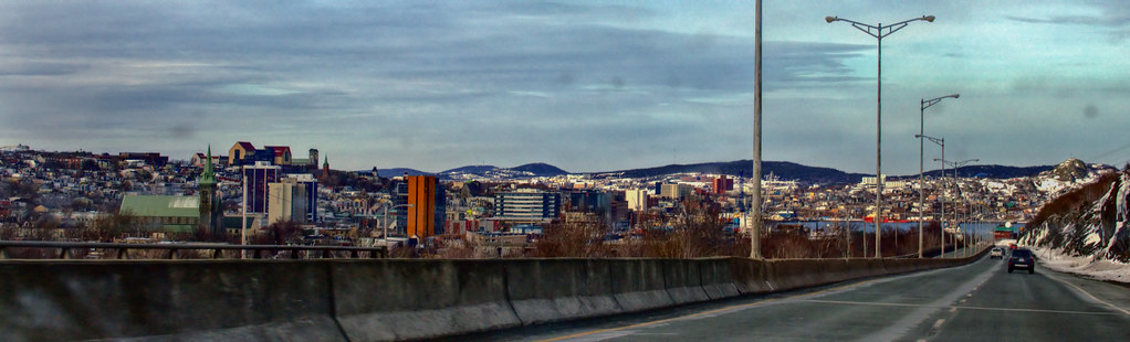
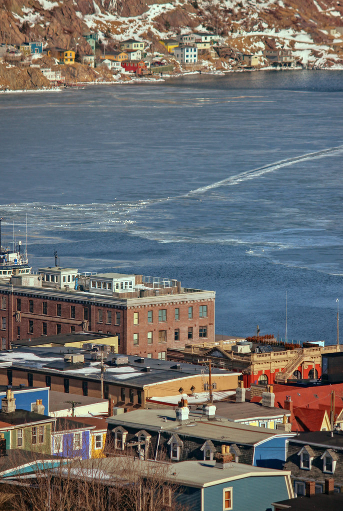
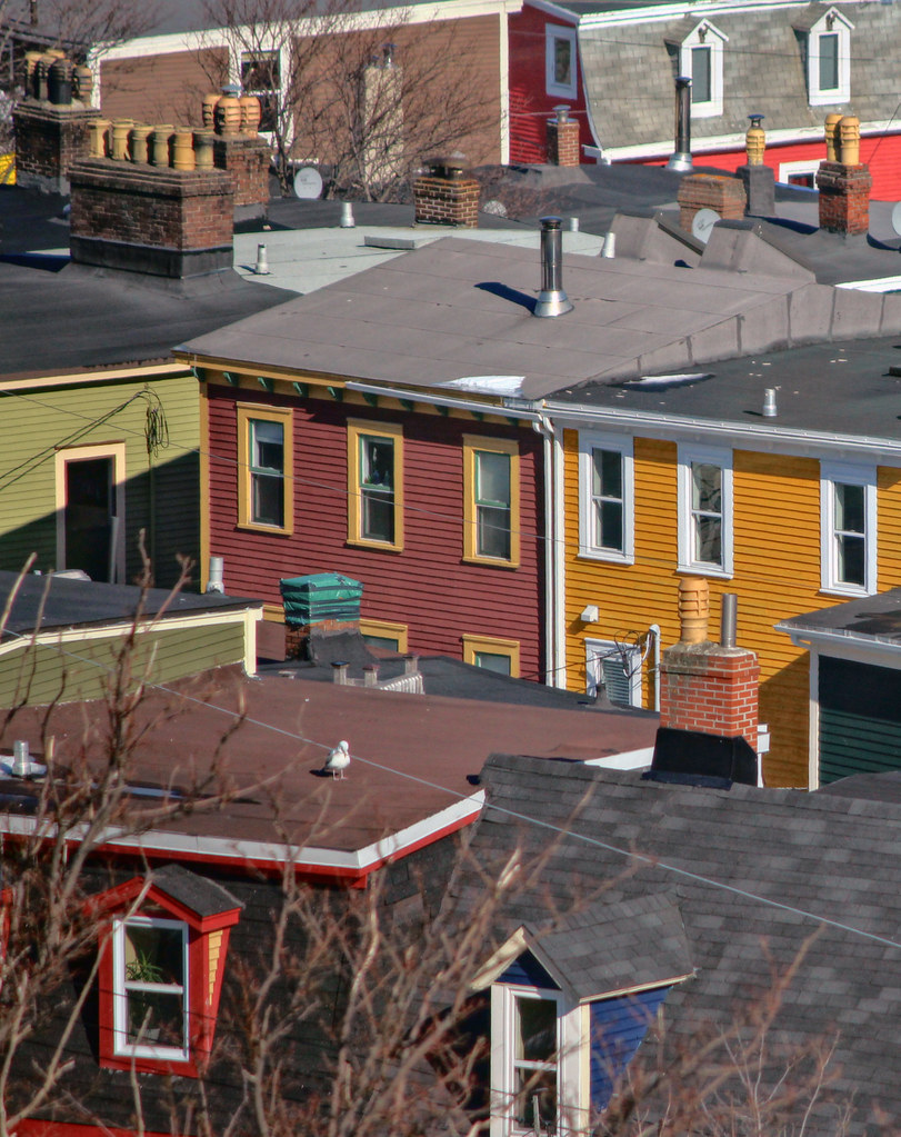
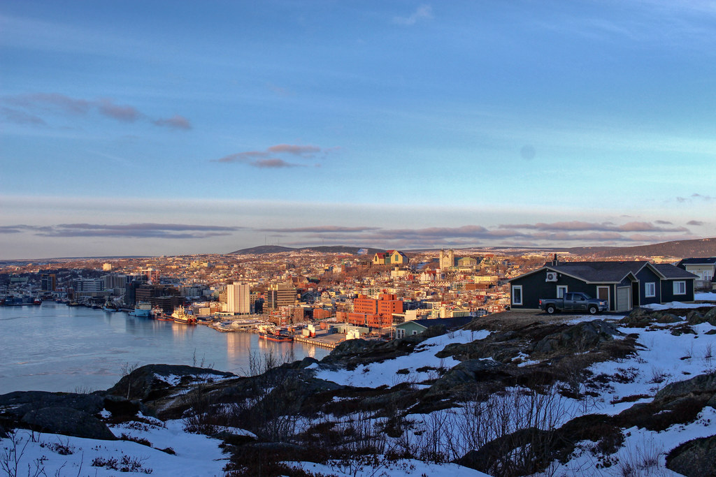
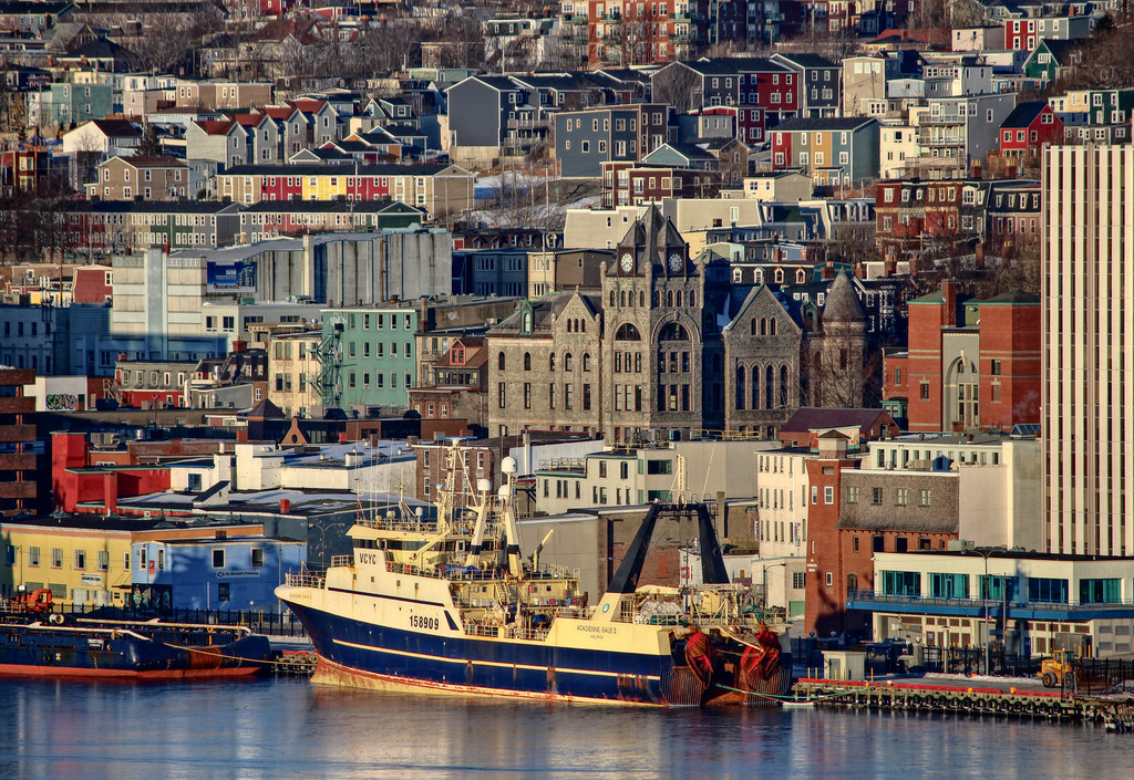
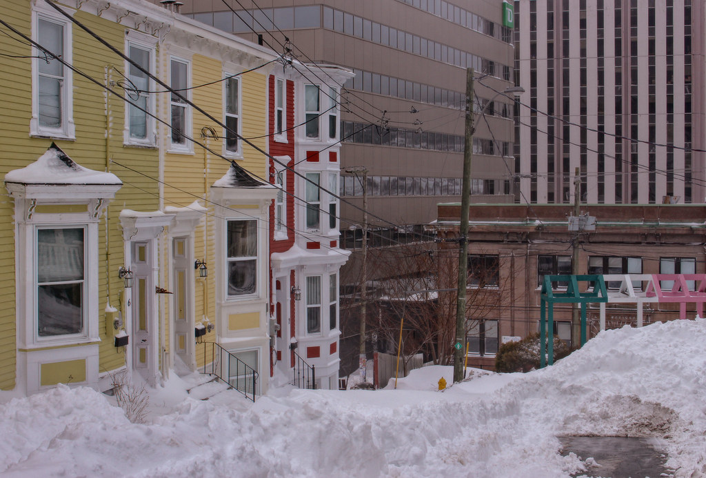
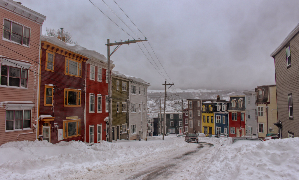
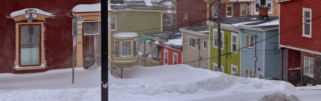
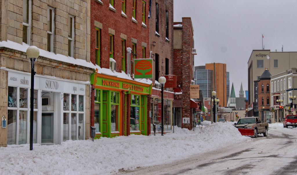
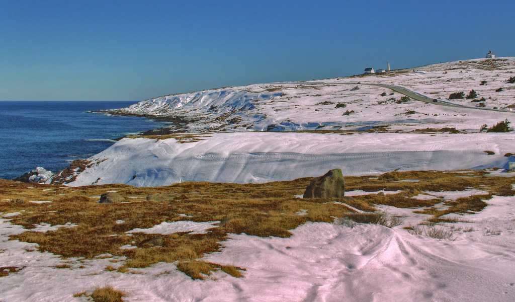
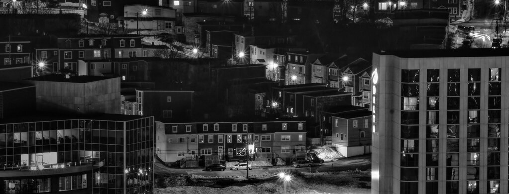
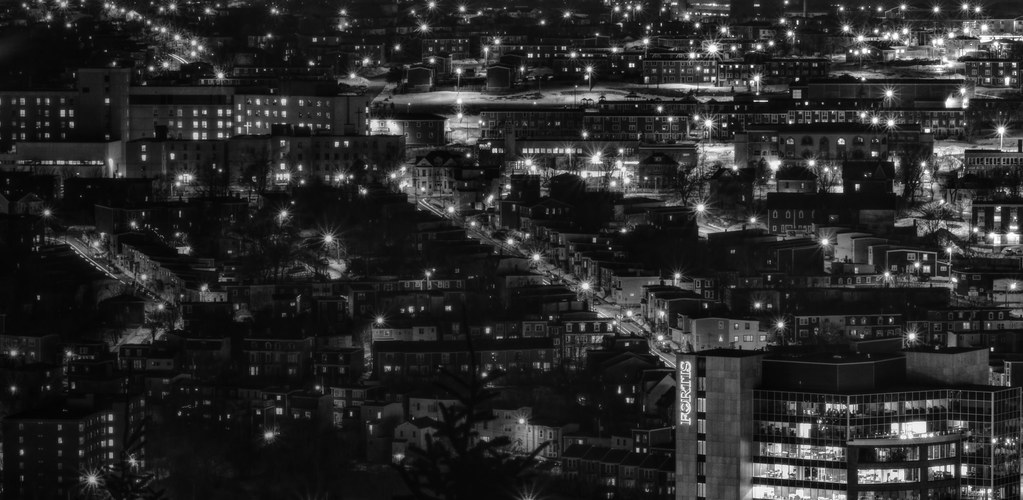
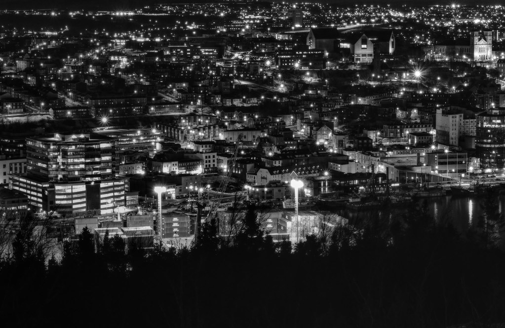
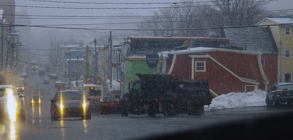
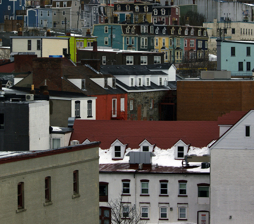
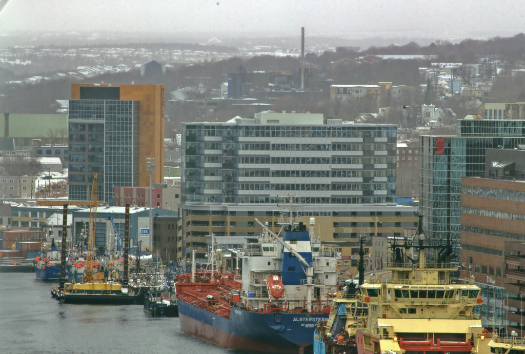
View of downtown from the stretch of Memorial roughly in between the Old West End (left) and Kilbride (right and behind).
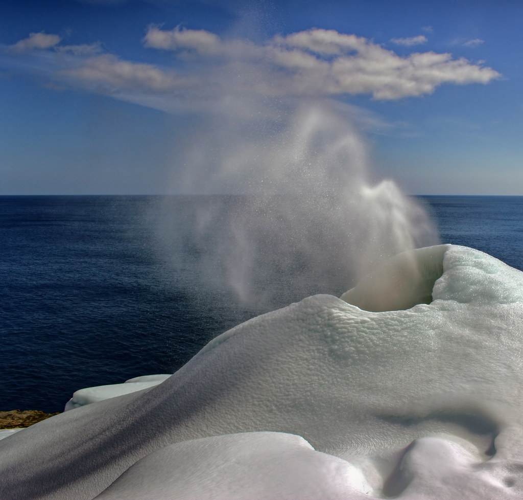
 The Spout
 by
Rabbittownie, on Flickr
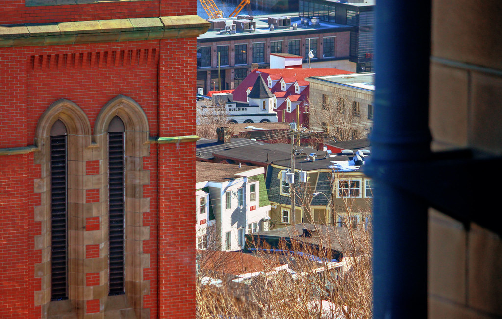
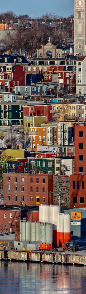
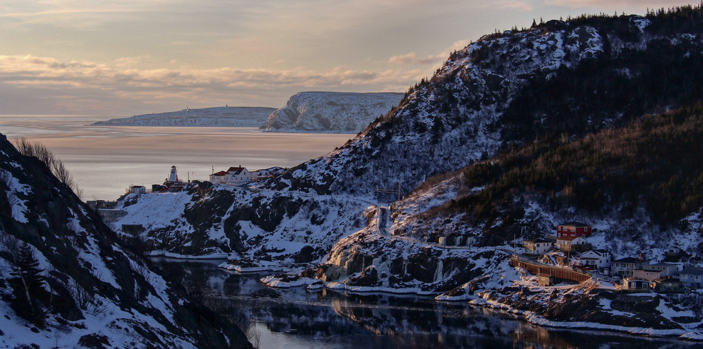
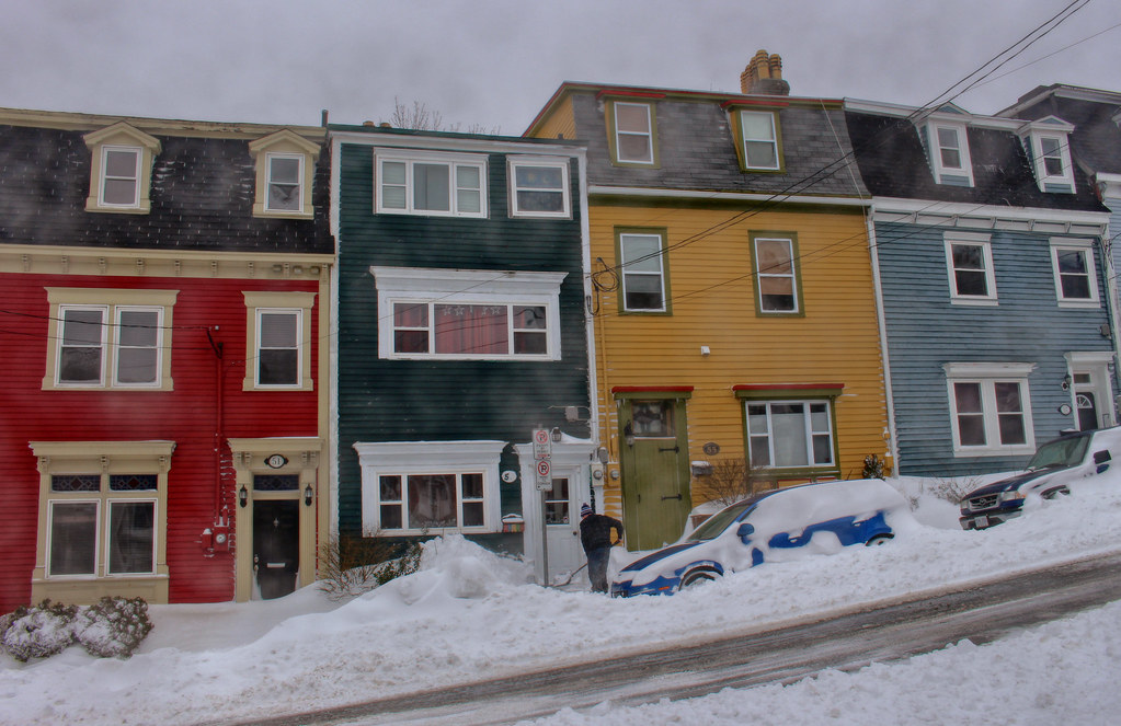
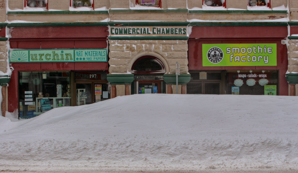
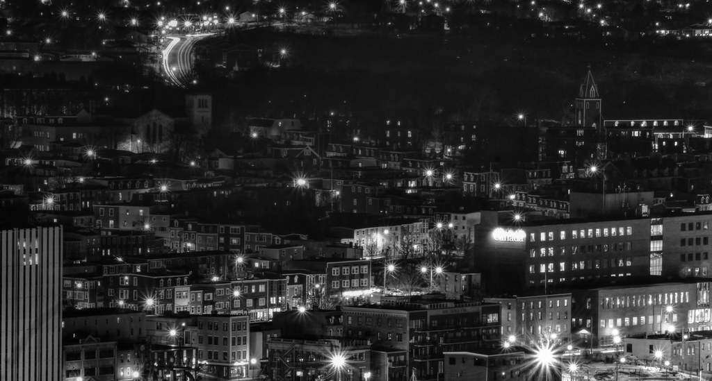
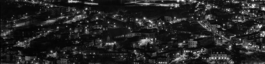
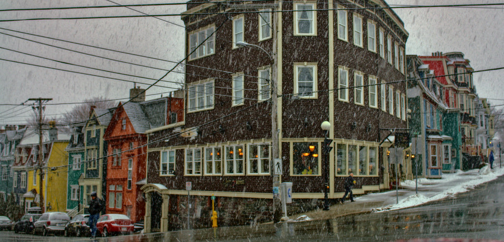
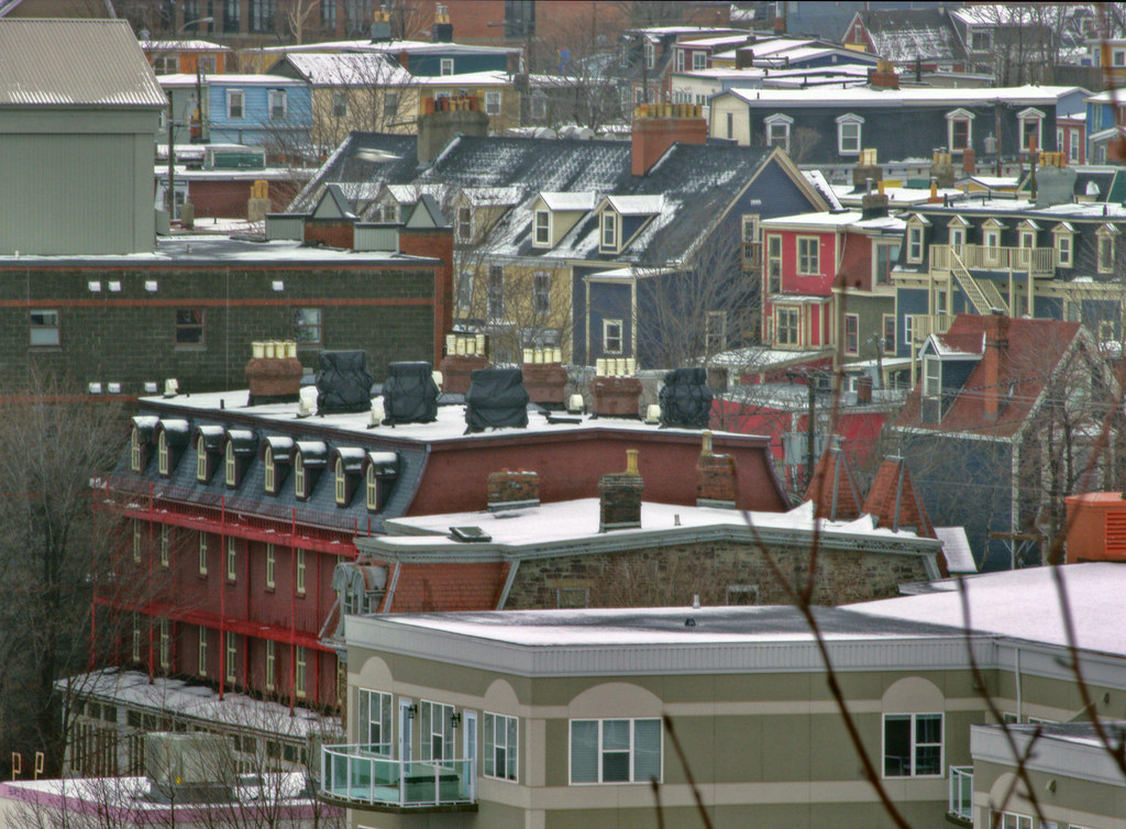
And just about downtown...
 The Spout
 by
Rabbittownie, on Flickr
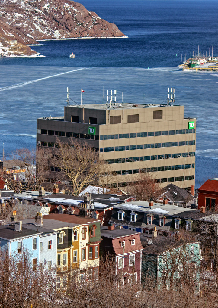
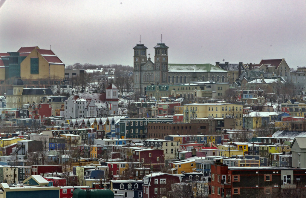
The distance from first picture to the third. Second is somewhere in between, closer to the end:

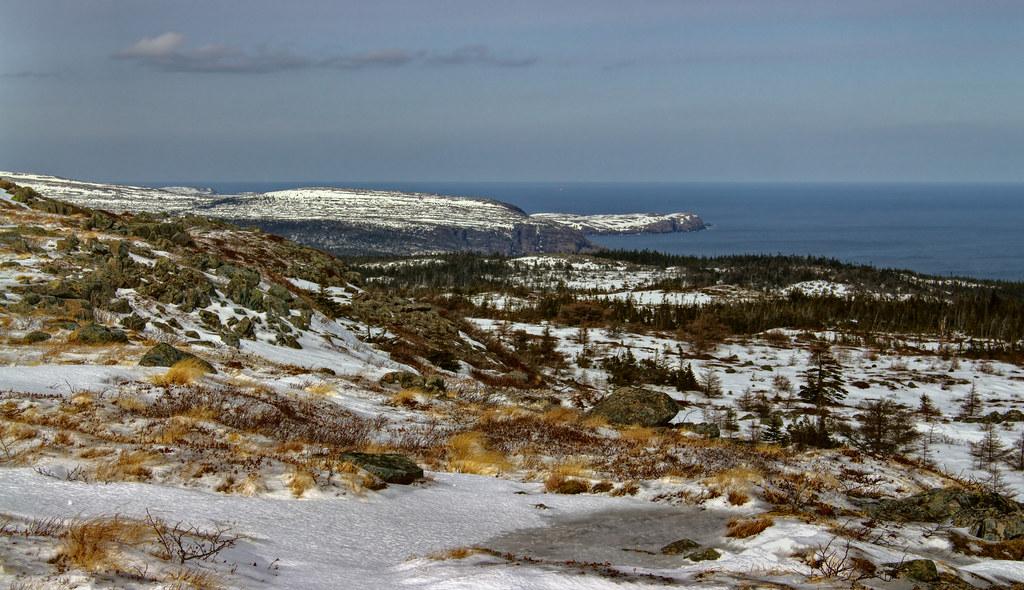
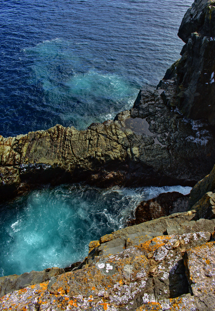
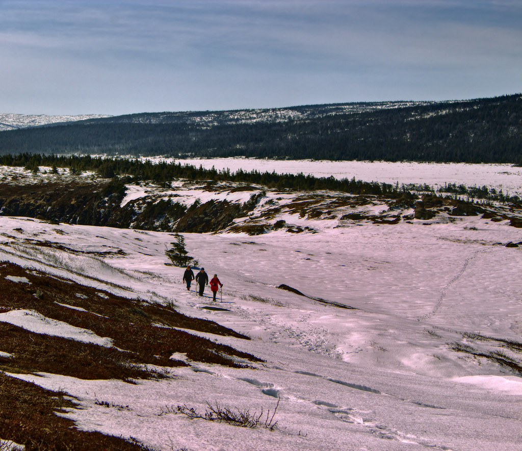
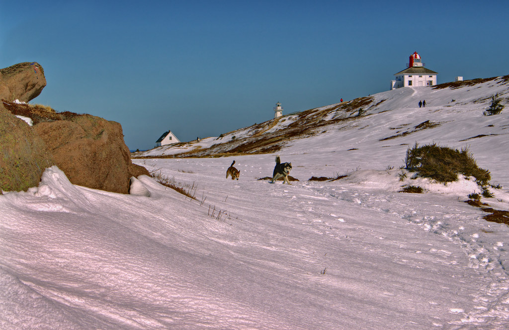
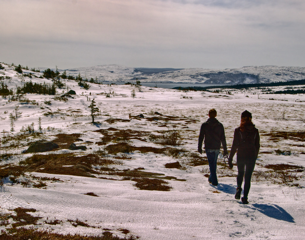
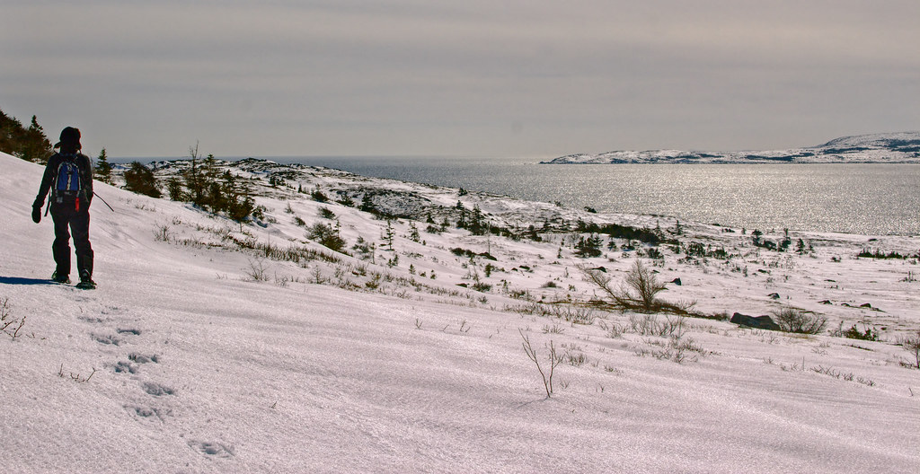
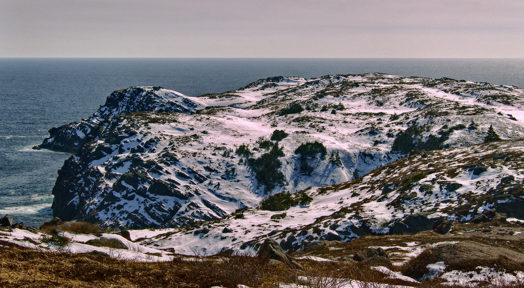
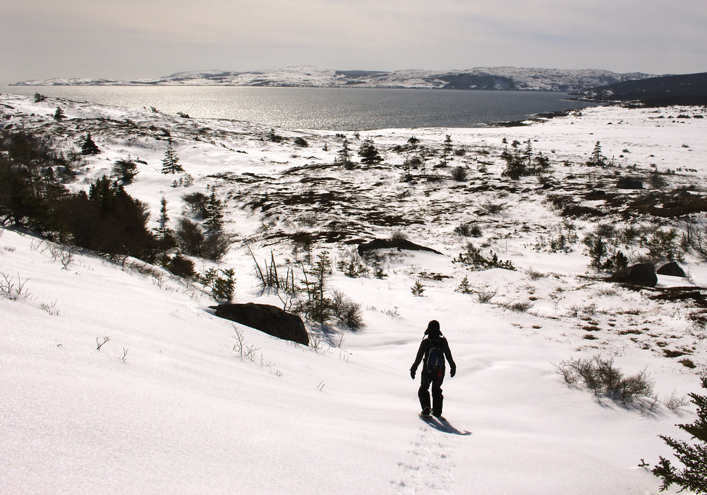
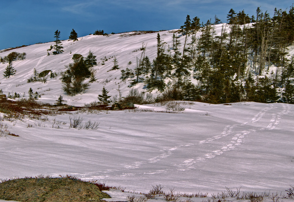
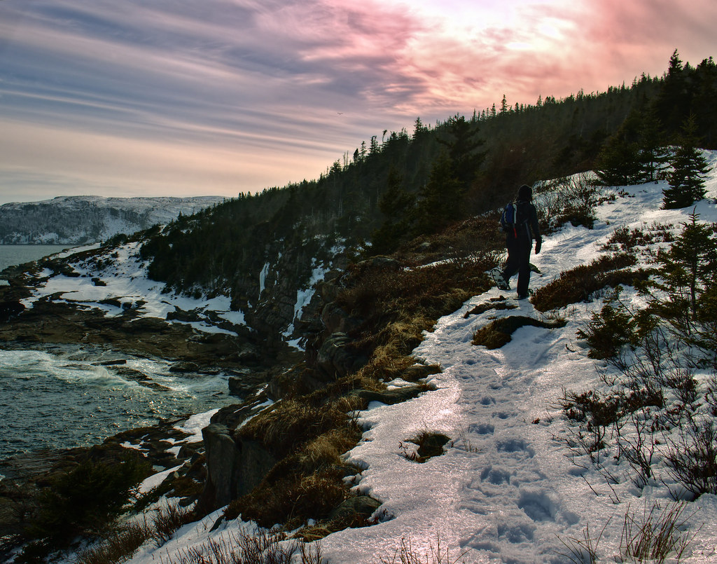
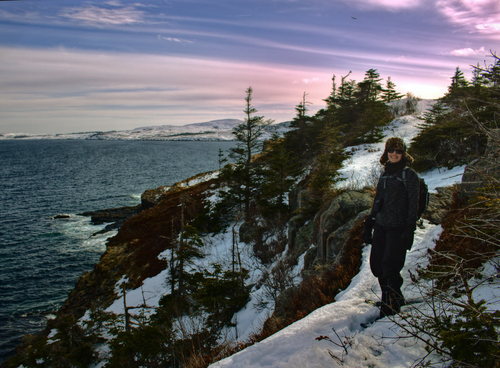
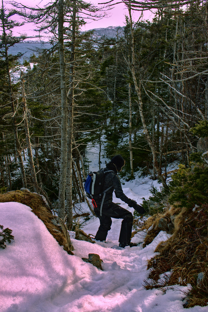
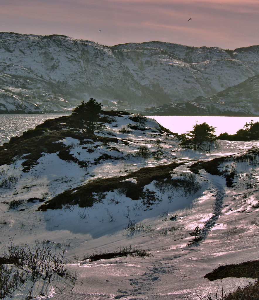
And a few pics from the hike:
It should only be about 14 km but we went horribly, horribly wrong. It took us almost 5 hours to get the Spout, and just over 2 hours to get back out on the actual trail.

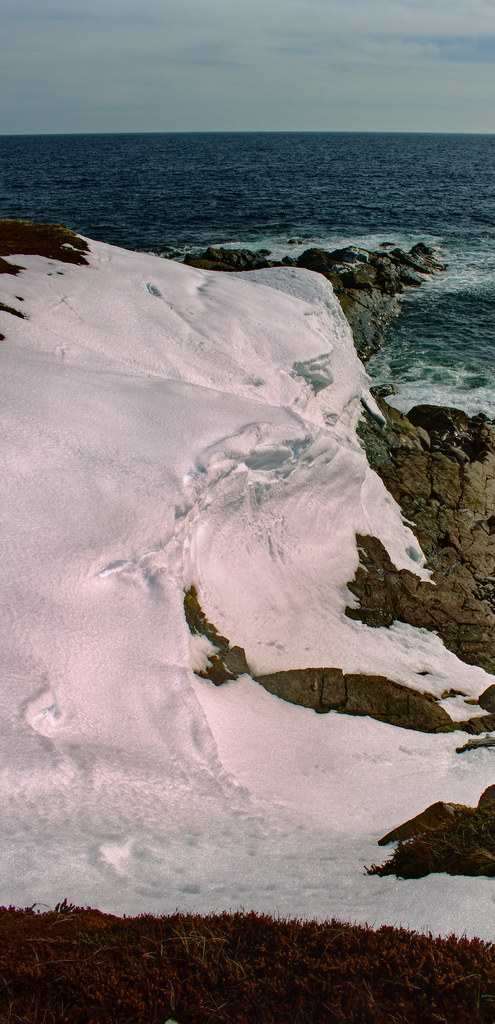
 The Spout
 by
Rabbittownie, on Flickr
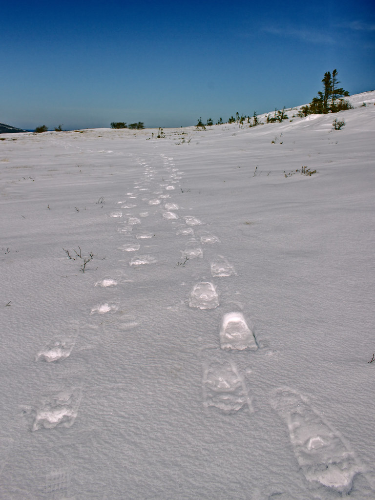
 The Spout
 by
Rabbittownie, on Flickr
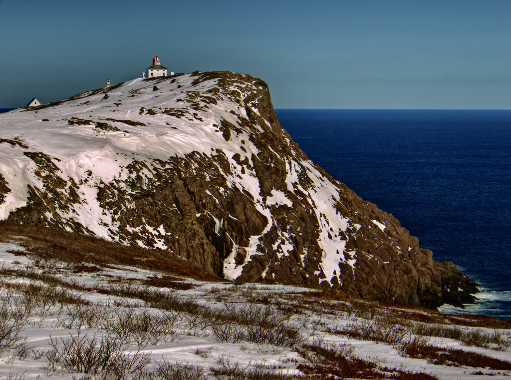
 The Spout
 by
Rabbittownie, on Flickr
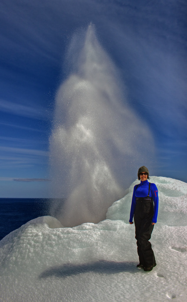
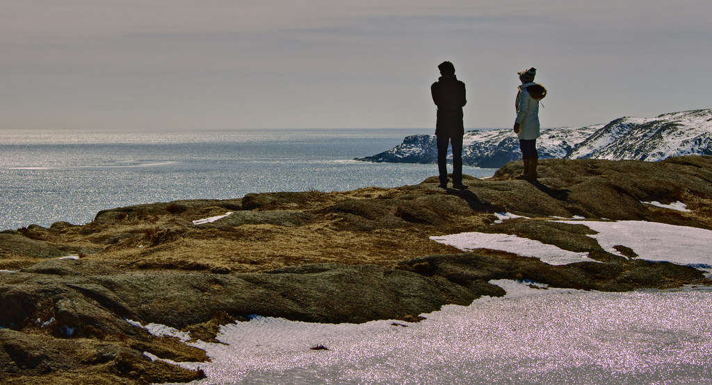
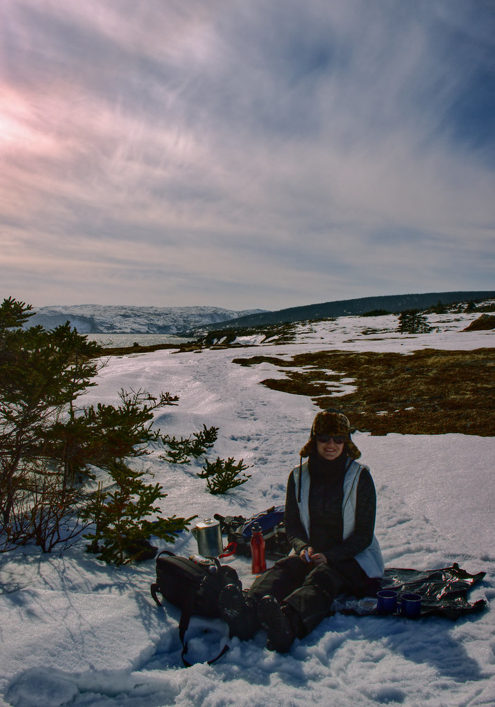
And we had a little boil up...


Simba's Dad came to yell at the spout.
 The Spout
 by
Rabbittownie, on Flickr
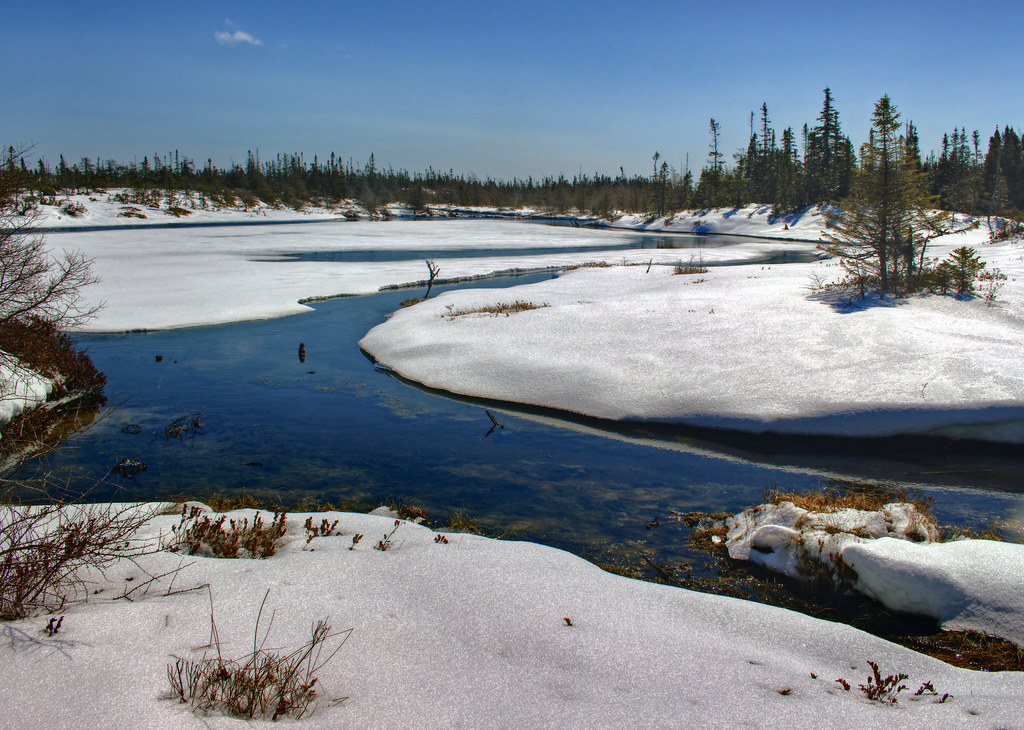
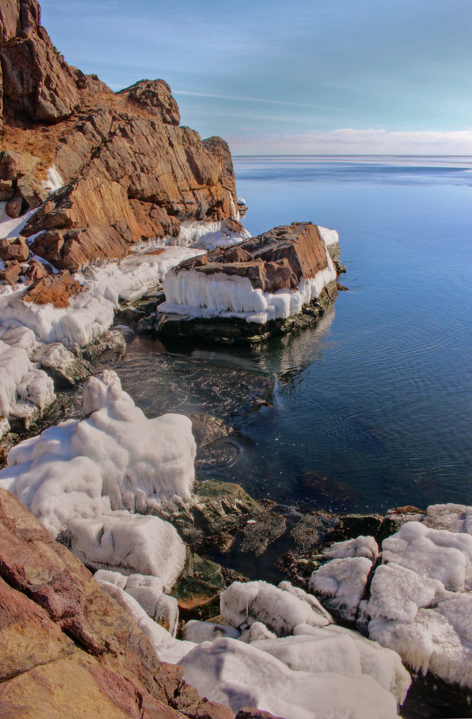
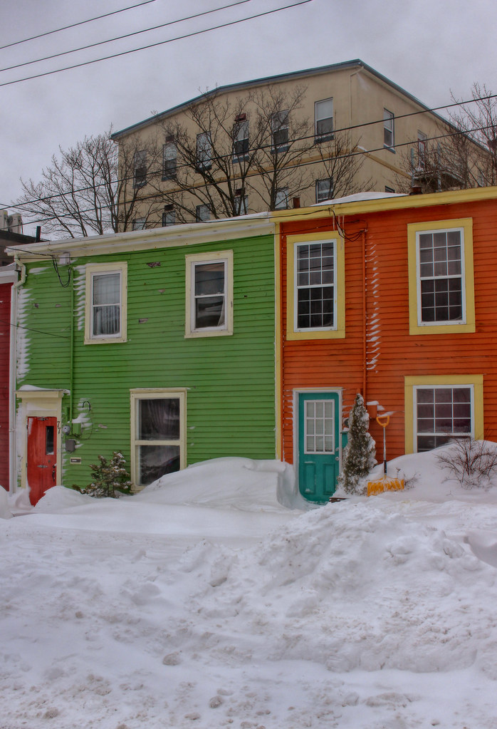
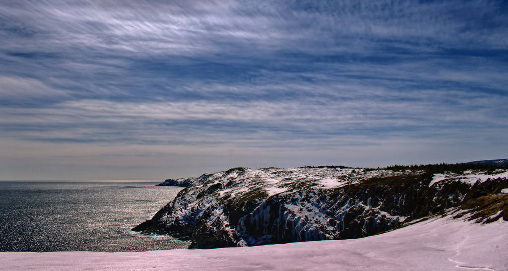
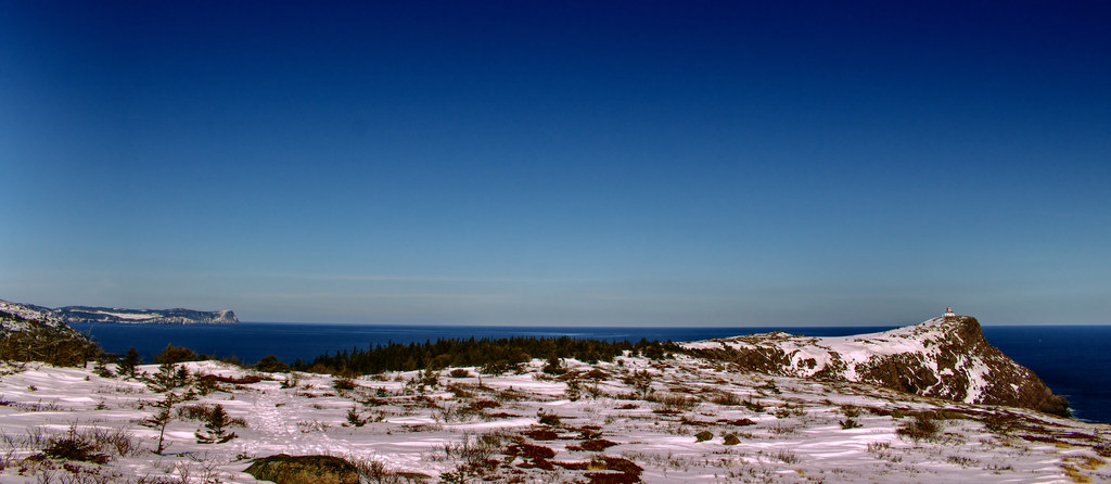
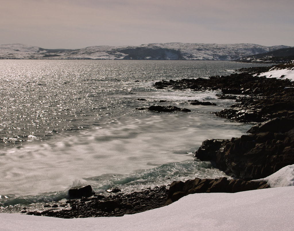
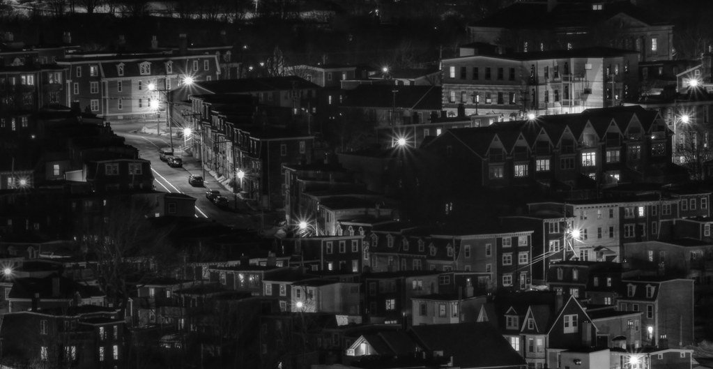
A few other scenes along the way there/back:
 The Spout
 by
Rabbittownie, on Flickr
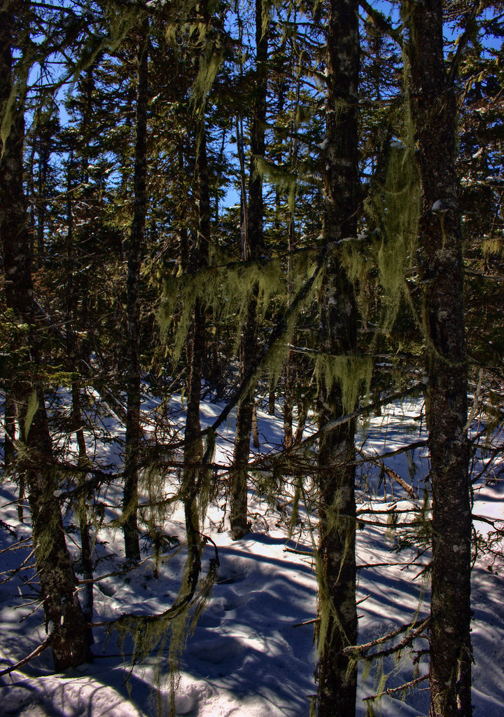
 The Spout
 by
Rabbittownie, on Flickr
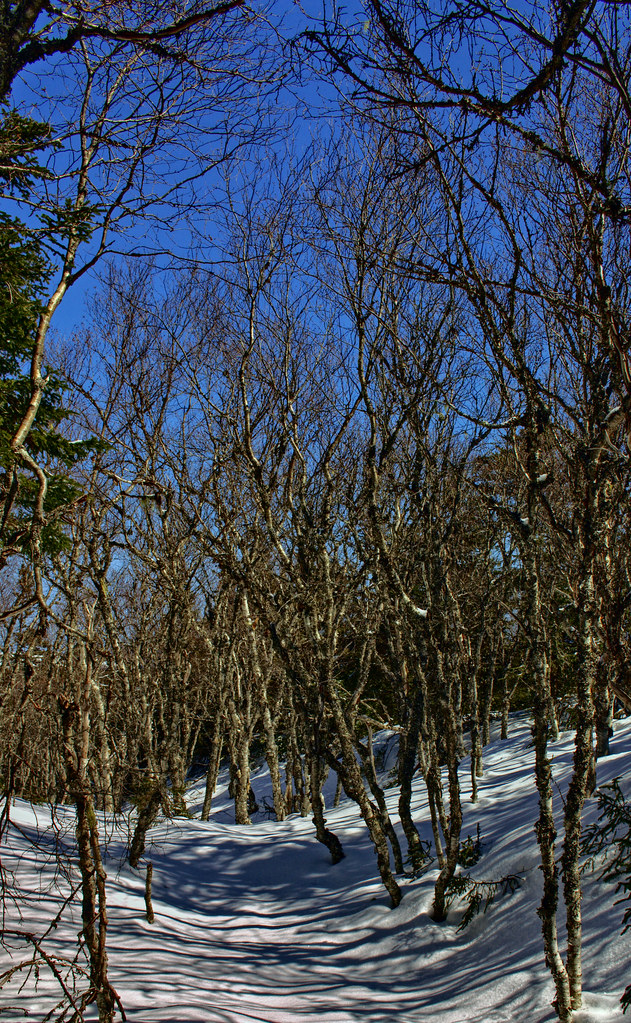
 The Spout
 by
Rabbittownie, on Flickr
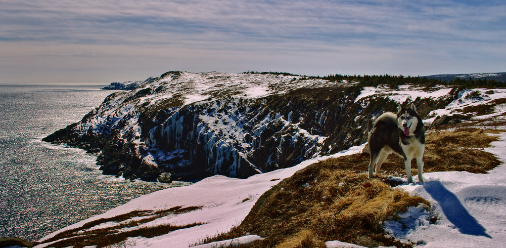
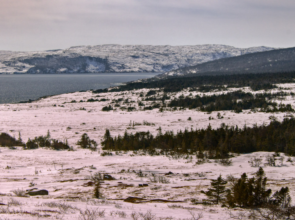
 The Spout
 by
Rabbittownie, on Flickr
 The Spout
 by
Rabbittownie, on Flickr
LIFE!
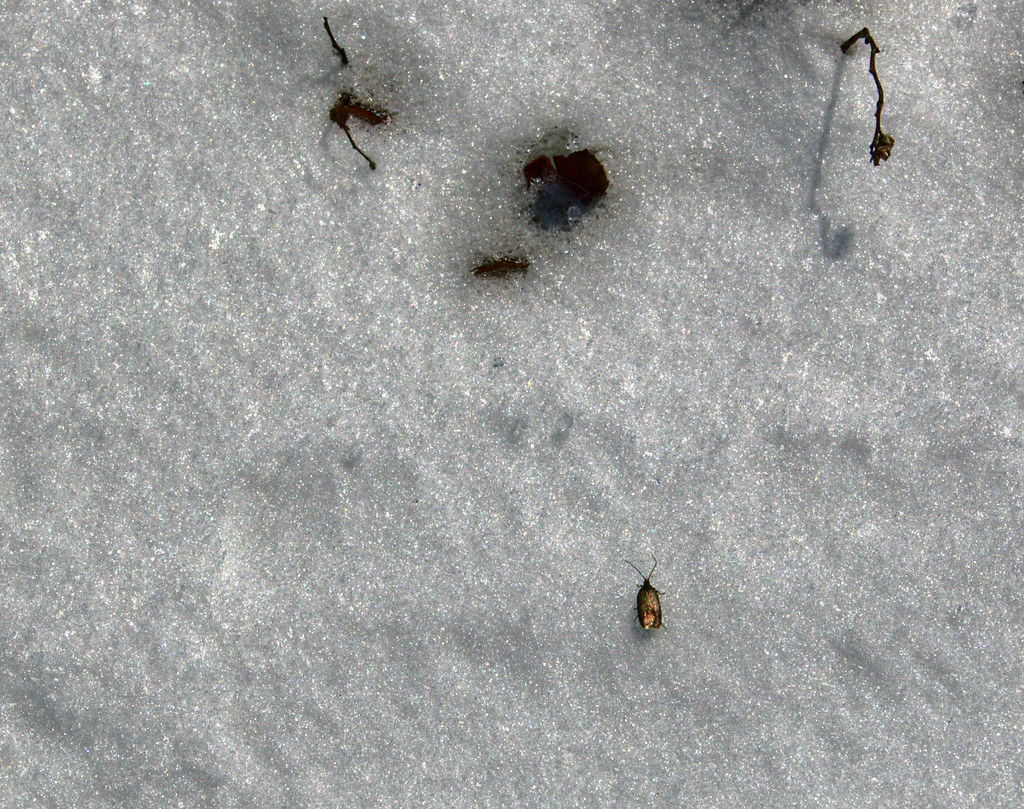 The Spout
 by
Rabbittownie, on Flickr
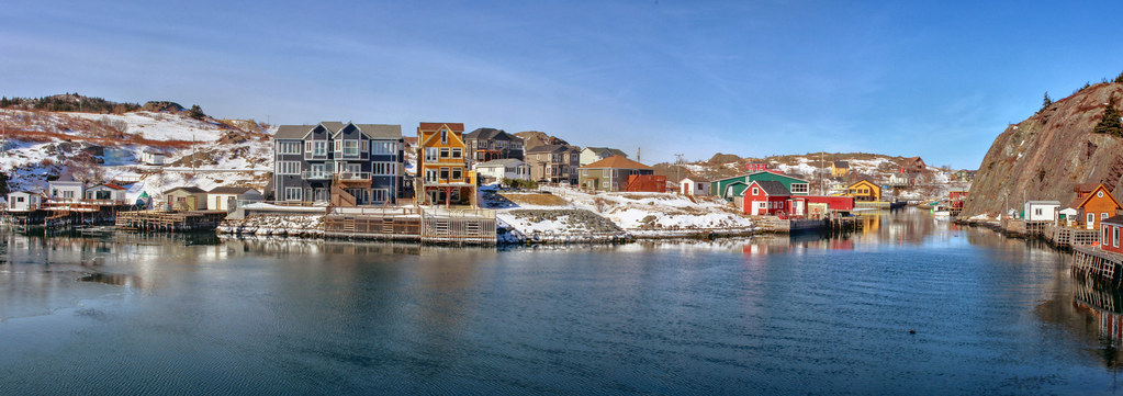
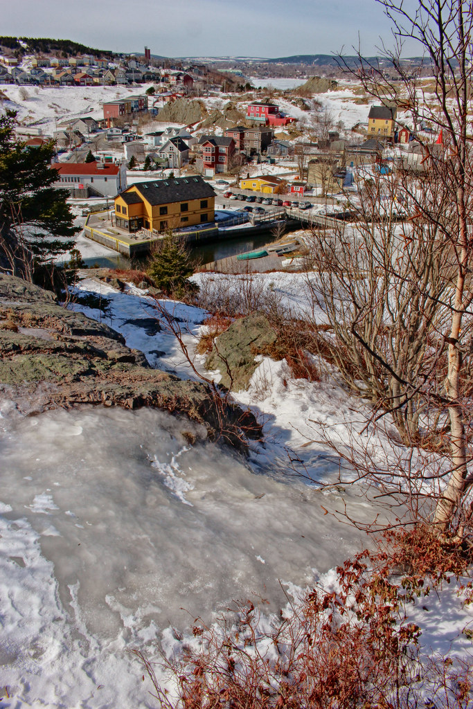
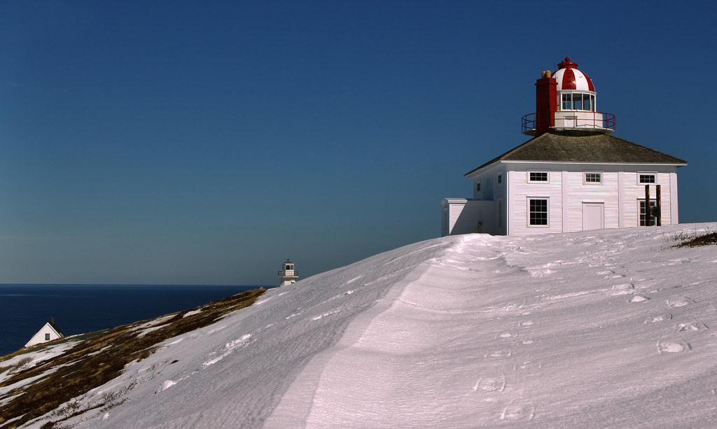
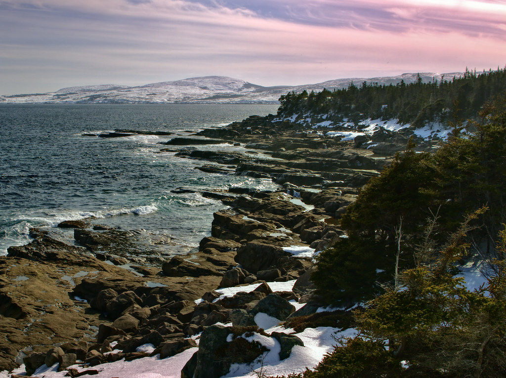
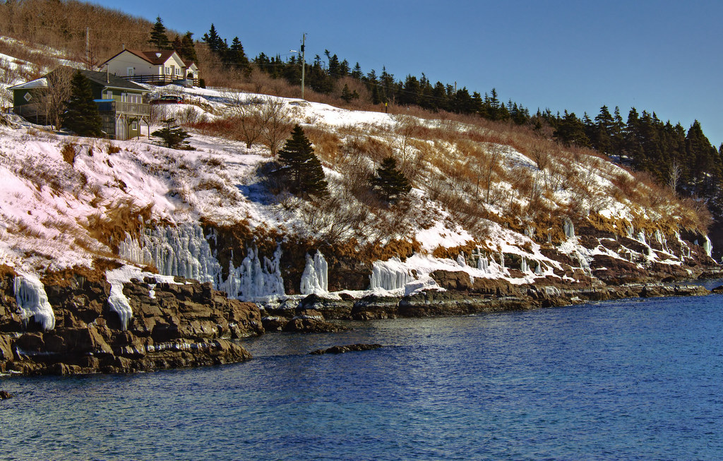
And a couple of pictures from our hike there last summer just to compare.


 Prev
Prev


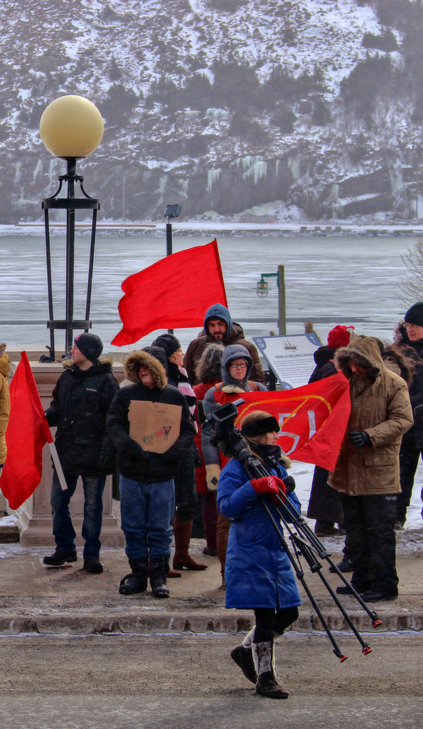


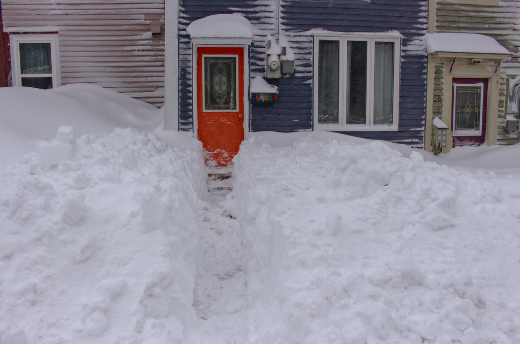

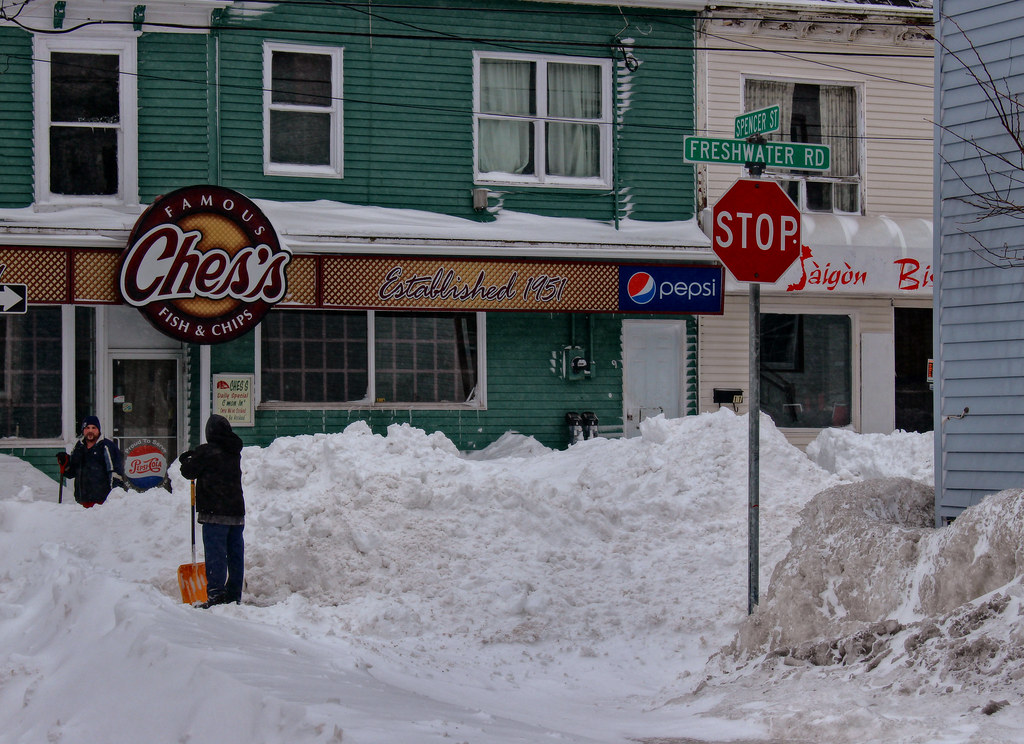

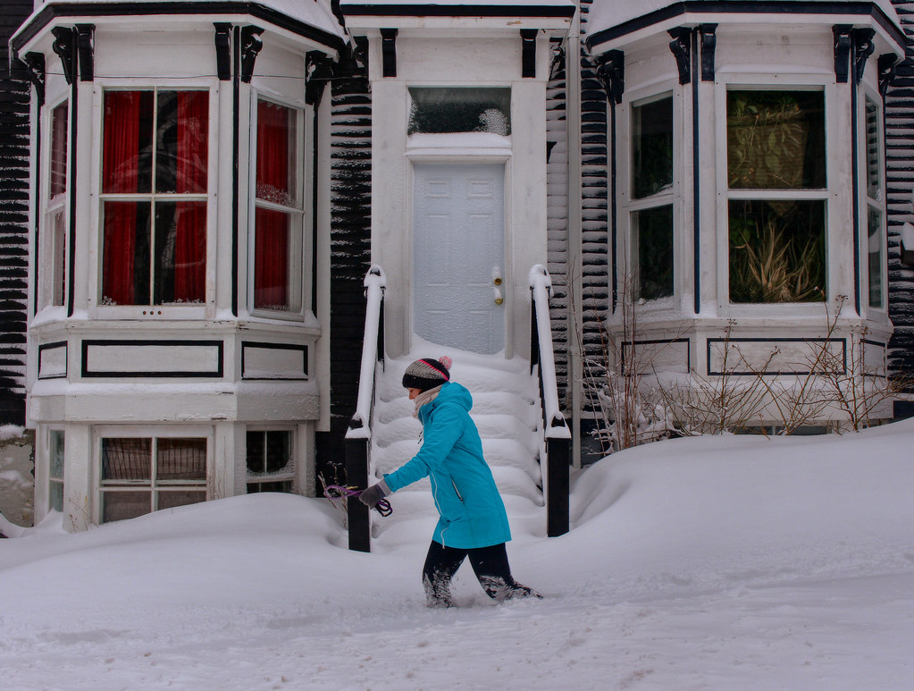
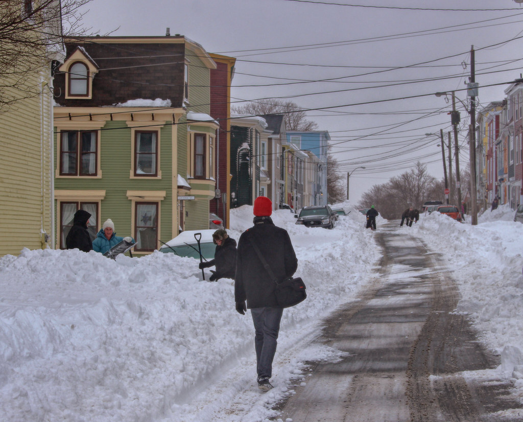

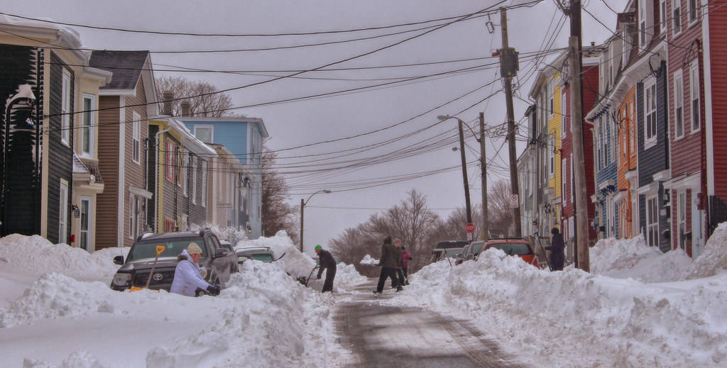
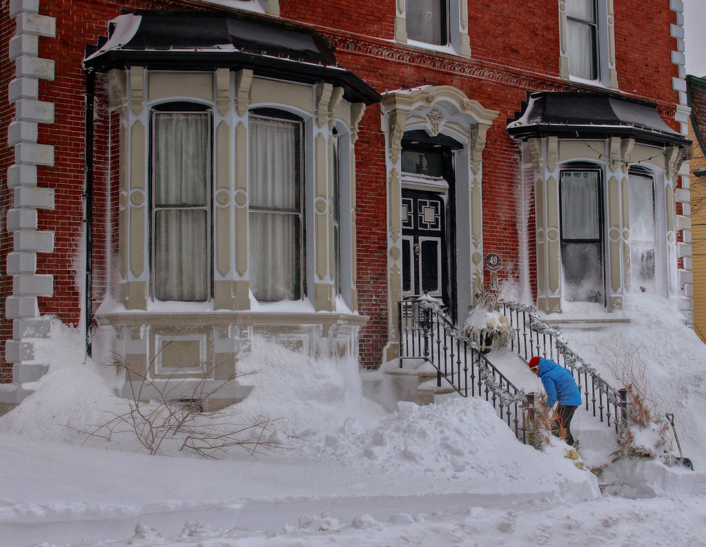


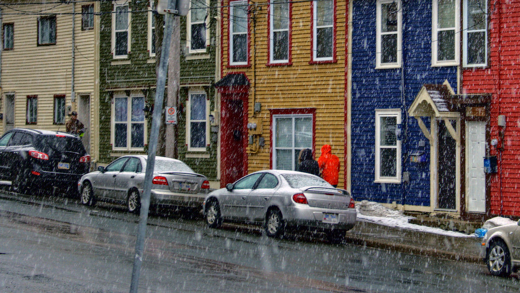
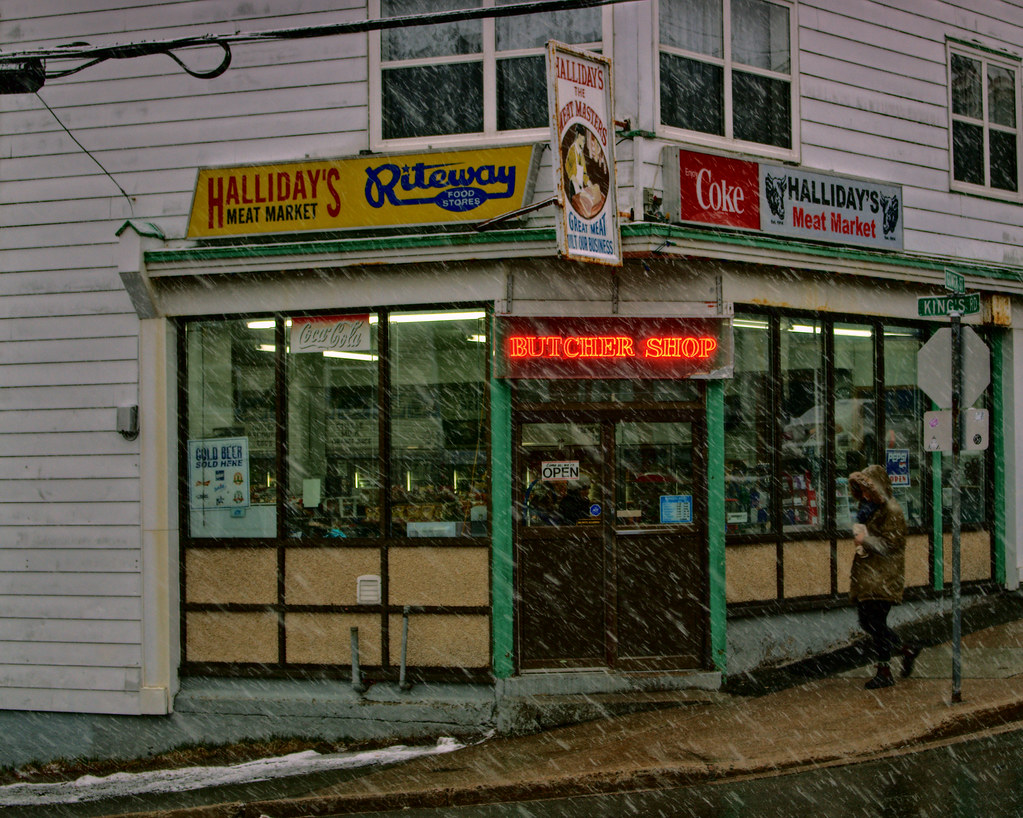
 For example, the shot of the woman in the blue coat shoveling in front of the house plastered with snow drifts.(For some reason, I can't insert that image).


 Linear Mode
