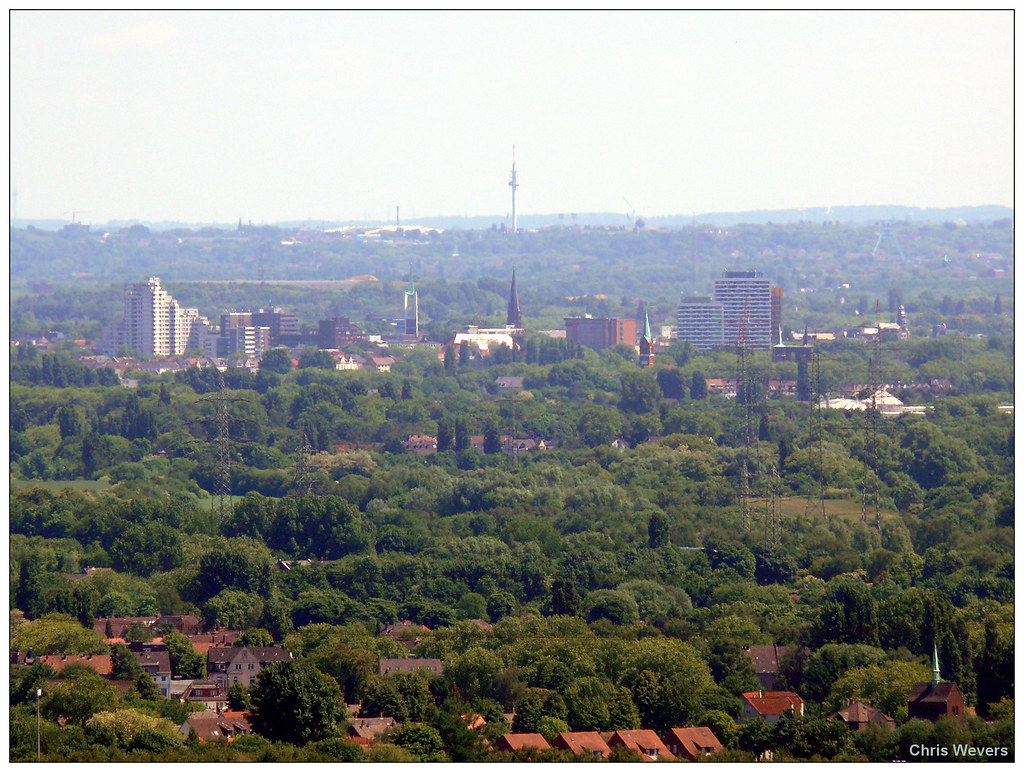
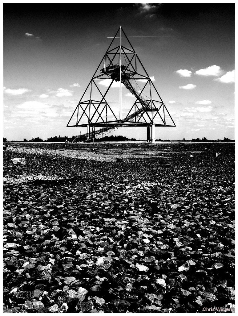
The Ruhr area seen from the Tetraeder. Notice the amount of green in this urban area. Because of the low and middle high (building and population) densities you wouldn't get the feeling this is Germany's largest urban area.
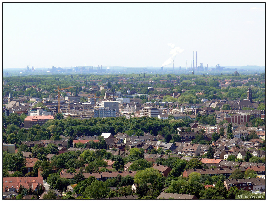
BOT 11) View towards the west. We can see the citycenter of Bottrop and in the background the steelcomplex of ThyssenKrupp in Duisburg is visible.
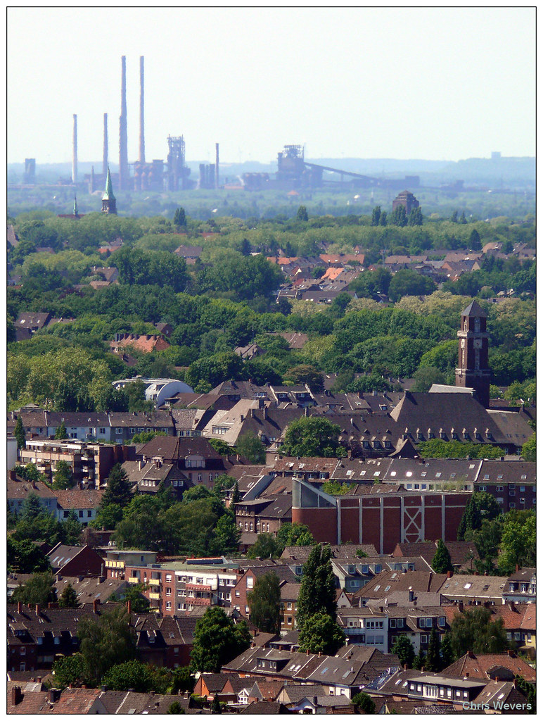
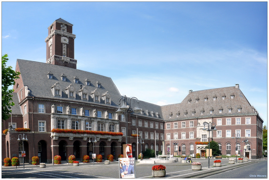
BOT 12) The same view, now with some more zoom. On the right the cityhall of Bottrop is visible, the church and tower in the center are located in Oberhausen (200.000).
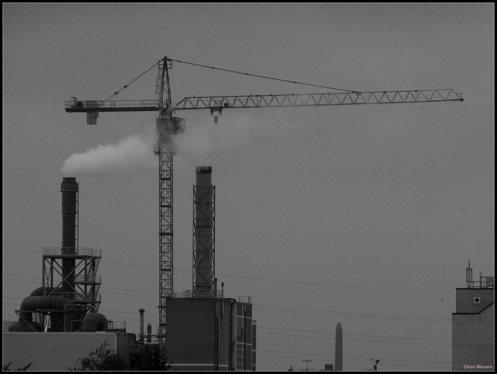
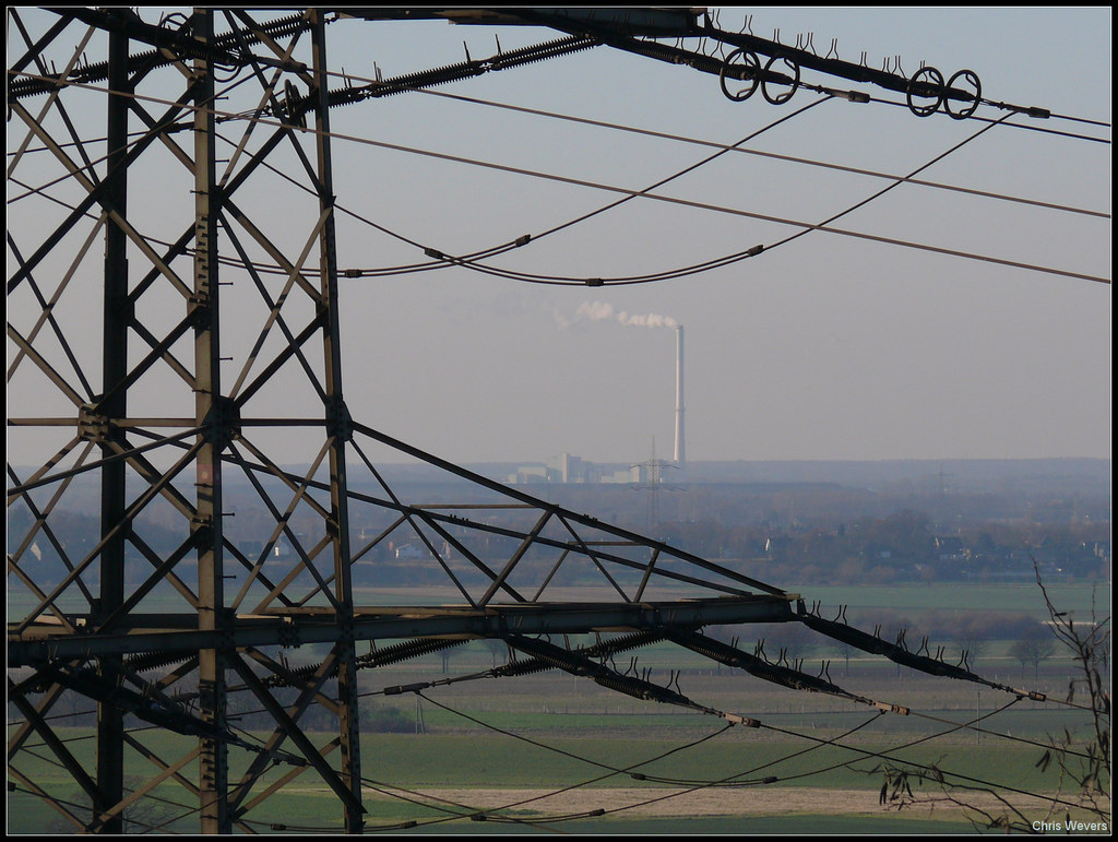
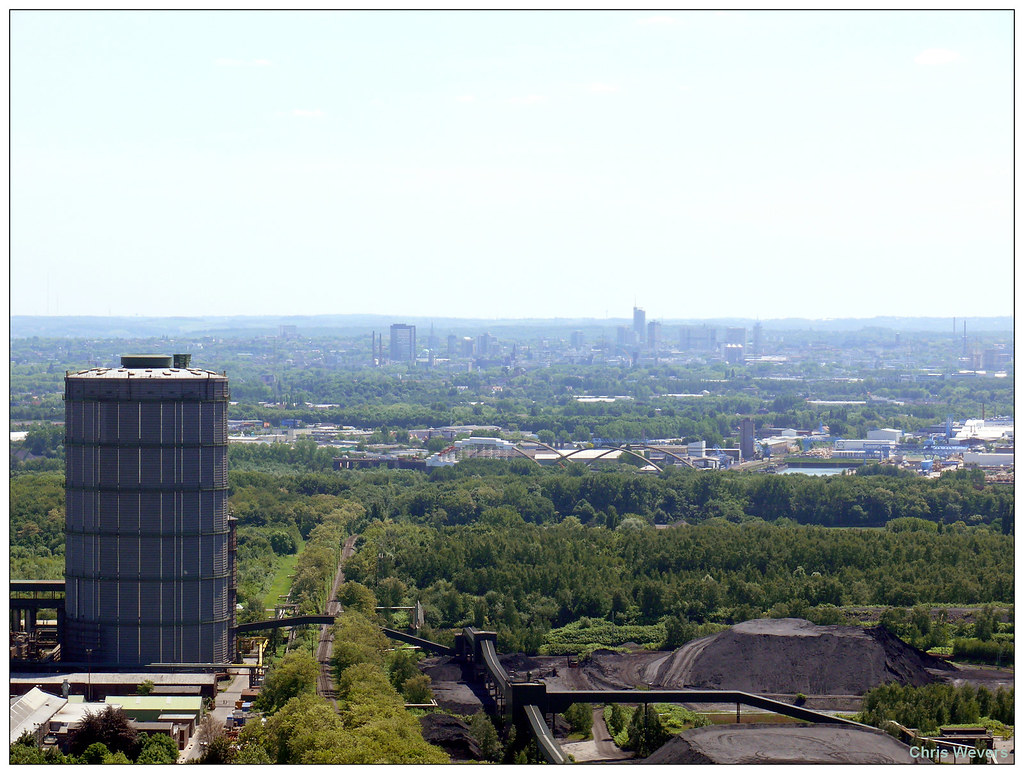
BOT 13) This view is more towards the northwestern part of the Ruhr area. On the right, in the background the coal powered powerplant in Duisburg-Walsum is visible, which is located at a distance of 17,5 km.

BOT 14)
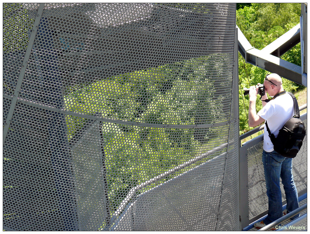
BOT 15)

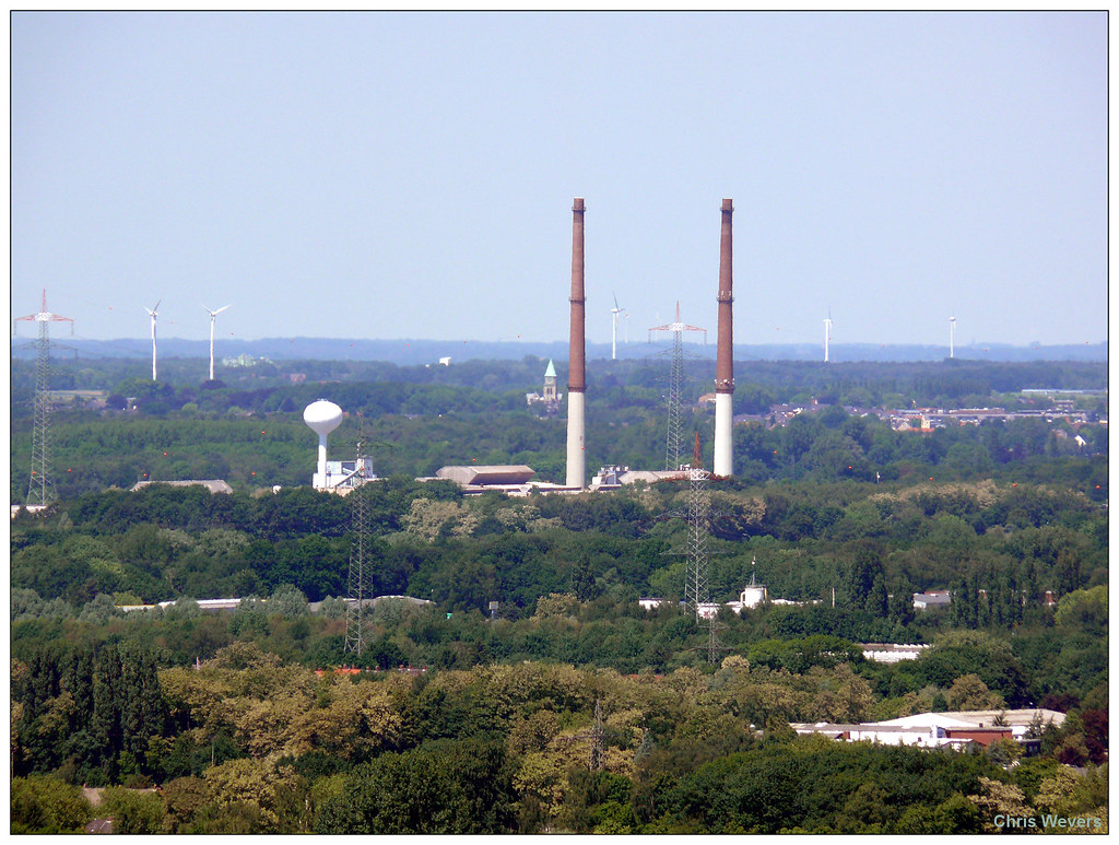
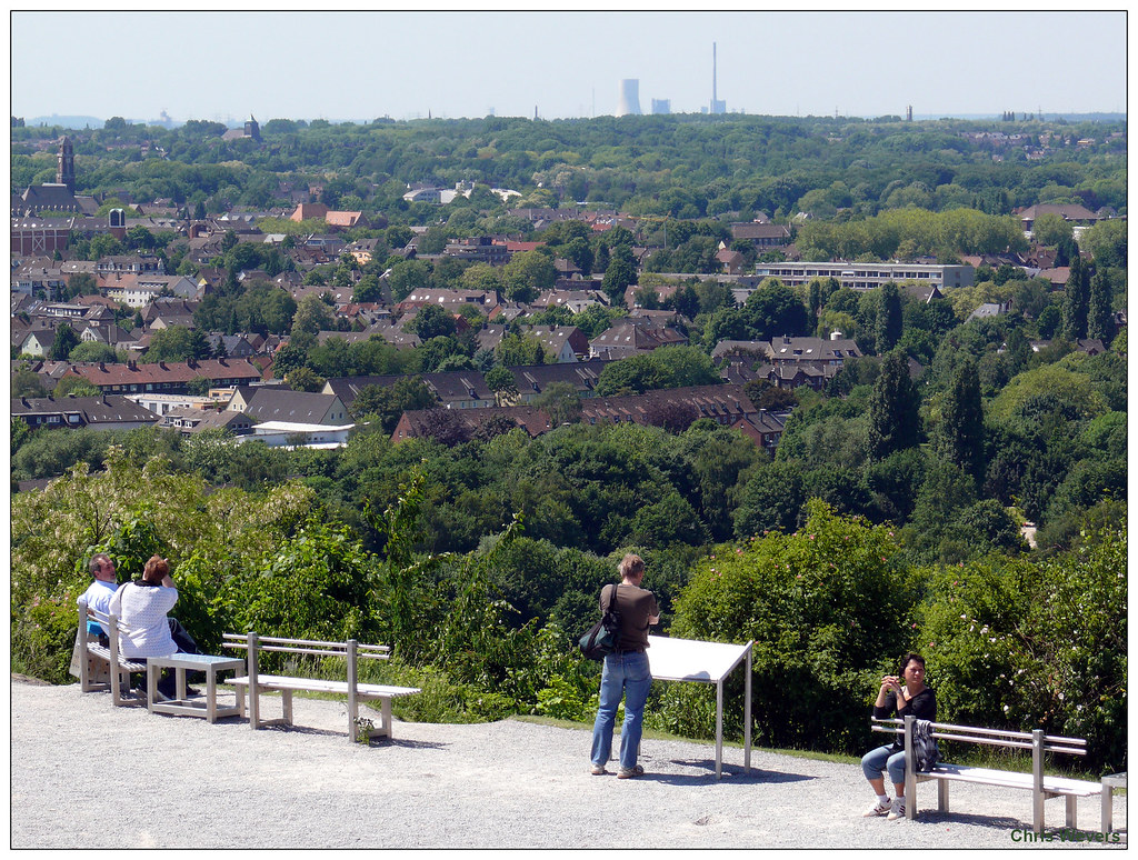
BOT 16) A view towards the north.
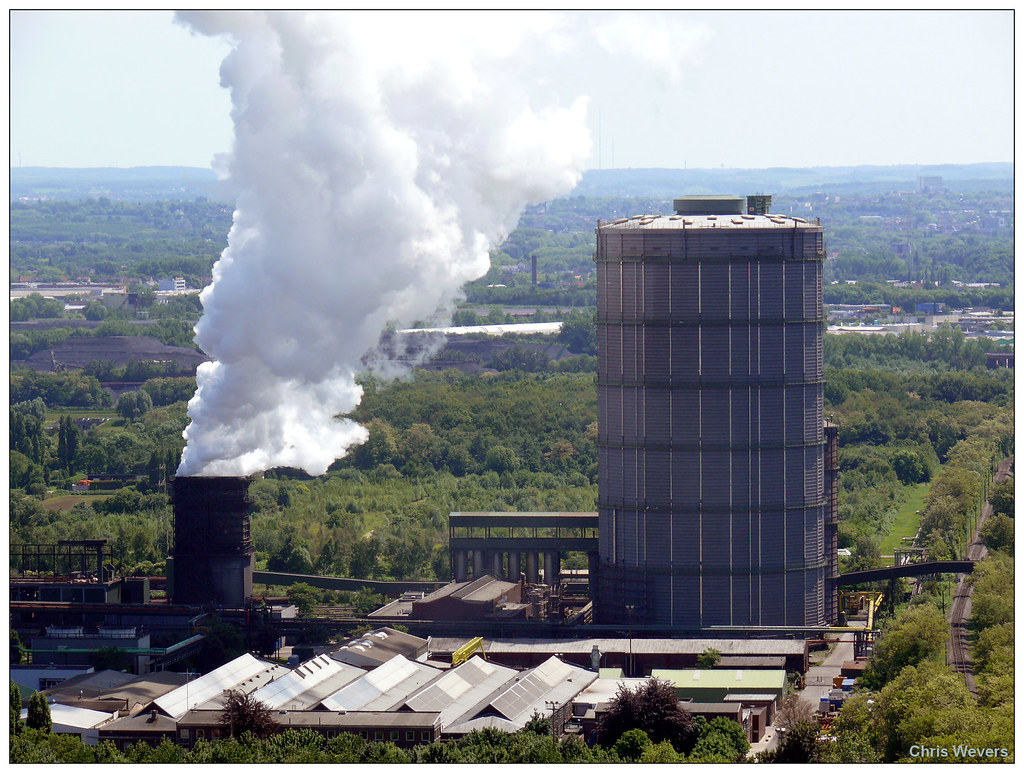
BOT 17) This is the view towards the north-east. The gigantic powerplant is located in Gelsenkirchen-Scholven and the chimneys are 300 m tall. The hill is
Halde Oberhscholven, a slagheap with a height of 130 m. The city in front of the powerplant is Gladbeck (75,000).

BOT 18) If we take a look futher to the east, we can see the soccer stadium
Veltins Arena of Schalke'04 in Gelsenkirchen. This arena is located at a distance of 8 km from the Tetraeder.
Just right of the stadium the old winding tower of coalmine
Zeche Ewald in Herten (63.000) is visible. More impressive the fact that the powerplant in Datteln, located at a distance of 30 km(!) is visible.

BOT 19) A chemical complex in Gelsenkirchen and the powerplant in Herne (167.000). Notice the green area's.

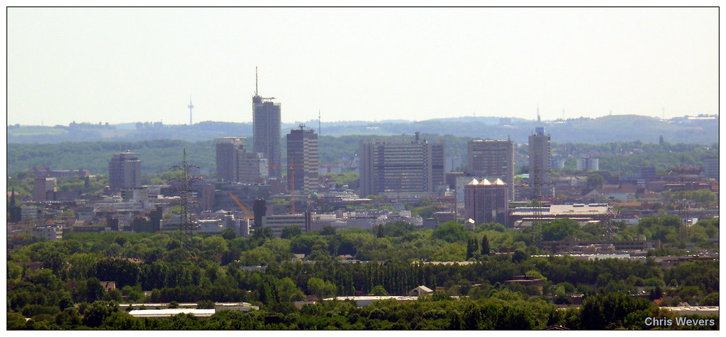
BOT 20) The citycenter of Gelsenkirchen (262.063 inwoners). The tower in the background is located in Bochum.


 Prev
Prev


 Linear Mode
