Quote:
Originally Posted by Indescribable

Is there some sort of intentional symbolism behind those axis'?
|
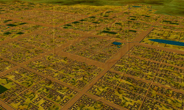
most Chinese cities have axes, ever since the days of ancient Xian 2,200 years ago, the Eastern counterpart to Rome and later, the worlds biggest city of its time. Basically the grid plan there, bisected by vast central roads, some of them 700 feet wide, gave birth to similar city plans in new capitals of Beijing, Nara, Kyoto, Seoul etc. It was intended to compartmentalise and make logical the city, act as firebreaks and keep the population in check. Today we can see the modern day grid plans across the world. In China these main avenues once leading to the city gates ,and connecting the central palaces, have become the meridians and axes.
map of ancient Xian (Chang'an) about 8th century AD, population 1 million
 www.tslr.net
Guangzhou has lost much of its grid plan, but modern day Beijing still has it,
and its historic central axes
 www.chinaasc.org
 www.wikimedia.org
Guangzhou is an ancient city, also about 2,200 years old. I'm not sure this axis echoes an earlier one though.


 Prev
Prev


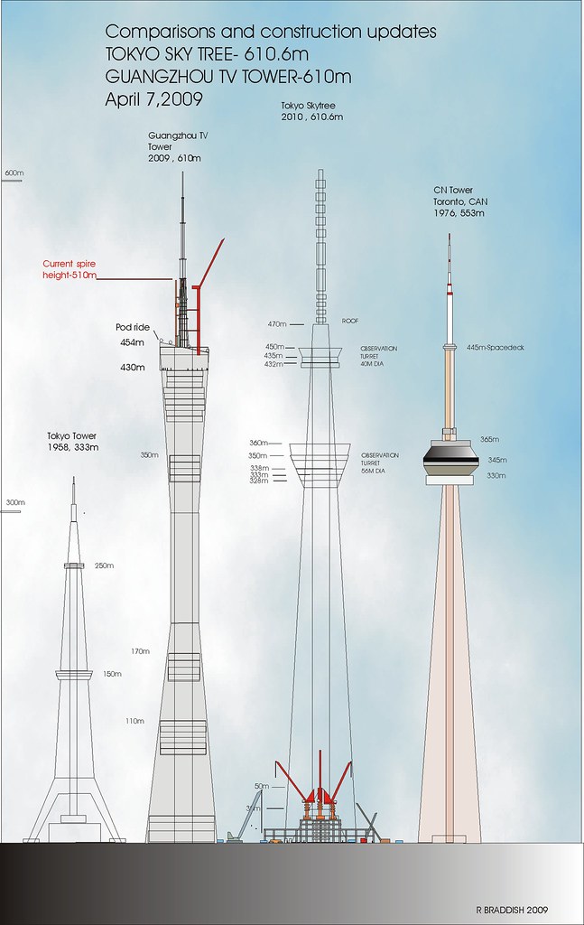
 Guangzhou is such a cool city! Those skyscrapers are amazing [U/C] and many of those proposed will make the city even better! The Guangzhou TV Tower and Twin Towers were a match-made-in-heaven!


 Linear Mode
