Quote:
Originally Posted by City Of Trees

Yeah, it's the red bridge that's now a Greenbelt spur leading up to Garden Street and ending at Orchard.
The rail yard stretched from 16th to 11th immediately south of Front, I believe. It might have stretched to 9th, but all the rails were east/west, where this one was north/south.
|
That is correct. The rail yard paralleled Front St from about 15th to 5th St. The rail line continued east across Broadway and eventually into the Barber Valley (Harris Ranch area), bisecting the Warm Springs golf course along the way, and ending just east of Eckert Rd. (At one point, it went all the way to Arrowrock Dam, and was used to supply materials for the construction of the dam.)
It was the abandonment of this downtown rail line the allowed for the construction of the Connector to proceed.
The rails seen in the picture on the Flikr link above is what's left of a spur that once ran down the middle of 10th St, ending at River St.
Remember that the BoDo area was originally a warehouse district. At one time, there were several spurs running south of Front St, connecting to the loading docks of these warehouses. Two of these spurs ran down the alleys between Capital Blvd, 8th St and 9th St. That is why the old Fosters Bldg is curved on one side. It is where the rail spur curved and headed south down the alley between 8th and 9th streets.


 Prev
Prev


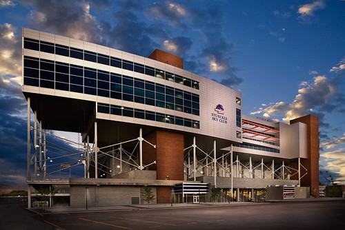

 Though I still liked the original proposal better. Where the floors went all the way down instead of the structure having stilts.


 Linear Mode
