HomeDiagramsDatabaseMapsForum About
     

Go Back   SkyscraperPage Forum > Regional Sections > Canada


Reply

 
Thread Tools Display Modes
     
     
  #561  
Old Posted Mar 4, 2019, 10:15 PM
Laceoflight's Avatar
Laceoflight Laceoflight is offline
Montérégien
 
Join Date: Nov 2014
Location: Montréal, QC <> Paris, FR
Posts: 1,232
Excerpts from Joseph Bouchette's Topographical Map of Lower Canada, 1815
from the David Rumsey Map Collection


Parts of Montréal, 1815


Parts of Québec, 1815
Reply With Quote
     
     
  #562  
Old Posted Mar 5, 2019, 1:29 AM
Andy6's Avatar
Andy6 Andy6 is offline
Starring as himself
 
Join Date: Mar 2002
Location: Toronto Yorkville
Posts: 9,739
Quote:
Originally Posted by Laceoflight View Post
Parts of Québec, 1815
Some of my own family were living there then, on St. Louis Street. It was a fascinating time and place, very multicultural and "vibrant". I own a couple of Bouchette maps that I have had framed - one showing the almost unsettled Ottawa Valley and a second showing the overland defence route between Halifax and Quebec City (with reference to the war with the U.S. that was then going on). His maps are very attractive.
__________________
crispy crunchy light and snappy
Reply With Quote
     
     
  #563  
Old Posted Mar 5, 2019, 3:20 AM
someone123's Avatar
someone123 someone123 is offline
hähnchenbrüstfiletstüc
 
Join Date: Nov 2001
Location: Vancouver
Posts: 33,694
He also created this Shubenacadie Canal map in 1831. The canal connected Halifax and the Atlantic coast to the Bay of Fundy.


Source
Reply With Quote
     
     
  #564  
Old Posted Mar 5, 2019, 3:30 AM
lio45 lio45 is offline
Moderator
 
Join Date: Aug 2007
Location: Quebec
Posts: 42,152
St. Laurent Street didn't exist yet even at such as late date as 1815, that's interesting.

That church in the middle of Notre-Dame was not long for this world at the time, the current basilica is from about ~1820 if I recall.
Reply With Quote
     
     
  #565  
Old Posted Mar 5, 2019, 3:36 AM
Andy6's Avatar
Andy6 Andy6 is offline
Starring as himself
 
Join Date: Mar 2002
Location: Toronto Yorkville
Posts: 9,739
Quote:
Originally Posted by someone123 View Post
He also created this Shubenacadie Canal map in 1831. The canal connected Halifax and the Atlantic coast to the Bay of Fundy.
The "proposed railway to the slate quarry" is interesting. That would have been the sort of railway that used horses, in this case to pull heavy loads of slate to be transferred on to ships at the lake/canal.
__________________
crispy crunchy light and snappy
Reply With Quote
     
     
  #566  
Old Posted Mar 5, 2019, 4:04 AM
MonctonRad's Avatar
MonctonRad MonctonRad is offline
Wildcats Rule!!
 
Join Date: Jun 2008
Location: Moncton NB
Posts: 34,559
Not a map, and not a graphic, but this satellite image of the Maritimes is still really neat, and does a good job at showing where most people in the region live (mostly in an arc around the upper Bay of Fundy, dipping towards the Atlantic coast at Halifax).


This image was already posted by Taeolas both in the Canada and Atlantic sections, but I thought it belonged here too.
__________________
Go 'Cats Go
Reply With Quote
     
     
  #567  
Old Posted Mar 5, 2019, 4:48 AM
franktko's Avatar
franktko franktko is offline
Registered User
 
Join Date: Mar 2013
Location: Montréal
Posts: 1,297
Quote:
Originally Posted by lio45 View Post
St. Laurent Street didn't exist yet even at such as late date as 1815, that's interesting.

That church in the middle of Notre-Dame was not long for this world at the time, the current basilica is from about ~1820 if I recall.
On a larger picture of this map, we can see St-Laurent, which is the China town area today. The population in 1815 was 16,000!

Reply With Quote
     
     
  #568  
Old Posted Mar 5, 2019, 3:50 PM
FFX-ME's Avatar
FFX-ME FFX-ME is offline
Registered User
 
Join Date: Oct 2006
Posts: 1,053
Quote:
Originally Posted by MonctonRad View Post
Not a map, and not a graphic, but this satellite image of the Maritimes is still really neat, and does a good job at showing where most people in the region live (mostly in an arc around the upper Bay of Fundy, dipping towards the Atlantic coast at Halifax).


This image was already posted by Taeolas both in the Canada and Atlantic sections, but I thought it belonged here too.
Miramichi and Bathurst look much larger than I would think in that satellite image.
Reply With Quote
     
     
  #569  
Old Posted Mar 5, 2019, 3:54 PM
MonctonRad's Avatar
MonctonRad MonctonRad is offline
Wildcats Rule!!
 
Join Date: Jun 2008
Location: Moncton NB
Posts: 34,559
Quote:
Originally Posted by FFX-ME View Post
Miramichi and Bathurst look much larger than I would think in that satellite image.
It's a measure of light pollution more than anything else. Bathurst and Miramichi are quite spread out, but with relatively low density.
__________________
Go 'Cats Go
Reply With Quote
     
     
  #570  
Old Posted Mar 5, 2019, 6:12 PM
Taeolas Taeolas is offline
Registered User
 
Join Date: Oct 2009
Location: Fredericton
Posts: 3,976
Quote:
Originally Posted by FFX-ME View Post
Miramichi and Bathurst look much larger than I would think in that satellite image.
The upper Saint John River Valley also looks a lot larger than it actually is, for the same reasons as Bathurst and Miramichi. It's a lot of villages and small towns spread up from Woodstock to Edmundston (and ducking into Maine for Presque Isle, Fort Fairfield and Caribou)

Other than some small lights along the south shore of Grand Lake, you can't see the TCH between Freddy and Moncton at all. But you can see the highway between SJ and Moncton clearly as it goes through Sussex and Petitcodiac and the other villages and communities between them. (Freddy to Moncton is 80km worth of forests from Coles Island to Salisbury)

Finally, I hadn't really noticed it before, but it's quite a straight line between Grand Falls and Riviere de Loup. There's a blob for Edmundston, but the rest of the lights are the communities along the TCH going to RDL.
Reply With Quote
     
     
  #571  
Old Posted Mar 17, 2019, 2:35 PM
MonctonRad's Avatar
MonctonRad MonctonRad is offline
Wildcats Rule!!
 
Join Date: Jun 2008
Location: Moncton NB
Posts: 34,559


Interesting graphic showing global warming at different latitudes from 1948-2018. It's frightening how accelerated the change is near the north pole compared to the more temperate latitudes.

It would appear that Antarctica has been relatively protected so far. I presume this is because of the effect of the Great Southern Ocean.
__________________
Go 'Cats Go
Reply With Quote
     
     
  #572  
Old Posted Mar 20, 2019, 12:00 AM
jawagord's Avatar
jawagord jawagord is offline
Registered User
 
Join Date: Jun 2006
Location: Calgary
Posts: 1,703
Quote:
Originally Posted by MonctonRad View Post


Interesting graphic showing global warming at different latitudes from 1948-2018. It's frightening how accelerated the change is near the north pole compared to the more temperate latitudes.

It would appear that Antarctica has been relatively protected so far. I presume this is because of the effect of the Great Southern Ocean.
The graphic is meant to be scary but the irony is the Northern Arctic areas where warming is mostly happening is also the area that will benefit economically from a warming climate along with the rest of Canada, Northern Europe, Russia (refer to IMF map in story link). What is frightening is Resolute Bay’s forecast for this week -30C, welcome to spring in the Arctic!

https://www.themoscowtimes.com/2017/...climate-a59145

https://us.theweathernetwork.com/ca/...SAAEgISxfD_BwE

https://us.theweathernetwork.com/ca/...x_auto_reload=
__________________
The human ability to innovate out of a jam is profound. That's why Darwin will always be right and Malthus will always be wrong - K.R.Sridhar

‘I believe in science’ is a statement generally made by people who don’t understand much about it. - Judith Curry, Professor Emeritus GIT
Reply With Quote
     
     
  #573  
Old Posted Mar 22, 2019, 3:38 AM
vid's Avatar
vid vid is offline
I am a typical
 
Join Date: Apr 2004
Location: Thunder Bay
Posts: 41,172
Quote:
Originally Posted by jawagord View Post
The graphic is meant to be scary but the irony is the Northern Arctic areas where warming is mostly happening is also the area that will benefit economically from a warming climate along with the rest of Canada, Northern Europe, Russia (refer to IMF map in story link).
No, the irony is that people think the warming carries "economic benefits".
Reply With Quote
     
     
  #574  
Old Posted Mar 22, 2019, 3:39 AM
Chadillaccc's Avatar
Chadillaccc Chadillaccc is offline
ARTchitecture
 
Join Date: Feb 2011
Location: Cala Ghearraidh
Posts: 22,842
Quote:
Originally Posted by vid View Post
No, the irony is that people think the warming carries "economic benefits".
Bingo. Even worse, that economic benefits even matter when considering it will be associated with the eradication of thousands of species.
__________________
Strong & Free

Mohkínstsis — 1.6 million people at the Foothills of the Rocky Mountains, 400 high-rises, a 300-metre SE to NW climb, over 1000 kilometres of pathways, with 20% of the urban area as parkland.
Reply With Quote
     
     
  #575  
Old Posted Mar 22, 2019, 4:25 AM
vid's Avatar
vid vid is offline
I am a typical
 
Join Date: Apr 2004
Location: Thunder Bay
Posts: 41,172
Quote:
Originally Posted by Chadillaccc View Post
Bingo. Even worse, that economic benefits even matter when considering it will be associated with the eradication of thousands of species.
The death of all those animals will be a boon to capitalists!

And all those capitalists will be a boon to the guillotines when the proletariat rise up against those who oppress them!
Reply With Quote
     
     
  #576  
Old Posted Mar 22, 2019, 4:47 AM
Chadillaccc's Avatar
Chadillaccc Chadillaccc is offline
ARTchitecture
 
Join Date: Feb 2011
Location: Cala Ghearraidh
Posts: 22,842
Quote:
Originally Posted by vid View Post
The death of all those animals will be a boon to capitalists!

And all those capitalists will be a boon to the guillotines when the proletariat rise up against those who oppress them!
I hear capitalists taste like pork
__________________
Strong & Free

Mohkínstsis — 1.6 million people at the Foothills of the Rocky Mountains, 400 high-rises, a 300-metre SE to NW climb, over 1000 kilometres of pathways, with 20% of the urban area as parkland.
Reply With Quote
     
     
  #577  
Old Posted Mar 22, 2019, 5:02 AM
SaskScraper's Avatar
SaskScraper SaskScraper is offline
Registered User
 
Join Date: Mar 2012
Location: Saskatoon/London
Posts: 2,359
^ or maybe chicken?

Climate change affects the world differently, Western half of Canada has taken the biggest burden for Canadians, with over a ~3°C average temperature increase in the last half century, and probably another ~3°C increase in first half of this century.


Even though large scale agriculture could migrate further North into places like NorthWest Territories, drought, increase in warmer weather pests, and forest fires in Western Canadian Provinces in the south won't be as good of news for agriculture in the BC valleys and Prairies there. Provinces further to the east and north like Newfoundland etc won't have as much to worry in this regard.
Reply With Quote
     
     
  #578  
Old Posted Mar 23, 2019, 12:53 AM
vid's Avatar
vid vid is offline
I am a typical
 
Join Date: Apr 2004
Location: Thunder Bay
Posts: 41,172
I've heard that holocaust survivors said that the smell of burning human flesh from the ovens smelled very similar to burnt hot dogs. Not making a joke here, that's just what came to mind at the thought.
Reply With Quote
     
     
  #579  
Old Posted Mar 29, 2019, 4:15 PM
Martin Mtl's Avatar
Martin Mtl Martin Mtl is offline
Registered User
 
Join Date: Feb 2002
Posts: 8,950
From 2014, so maybe the numbers changed a little since then.

Commuting in Montreal, Toronto and Vancouver

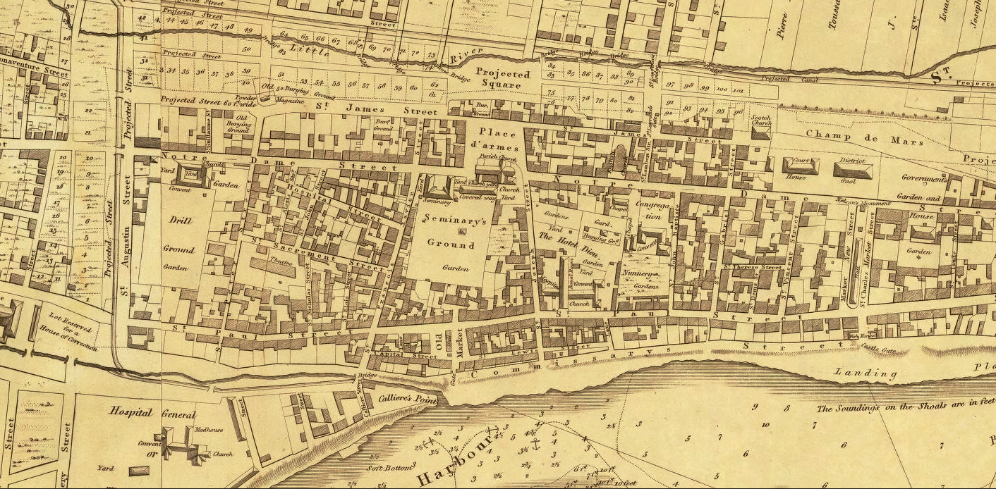
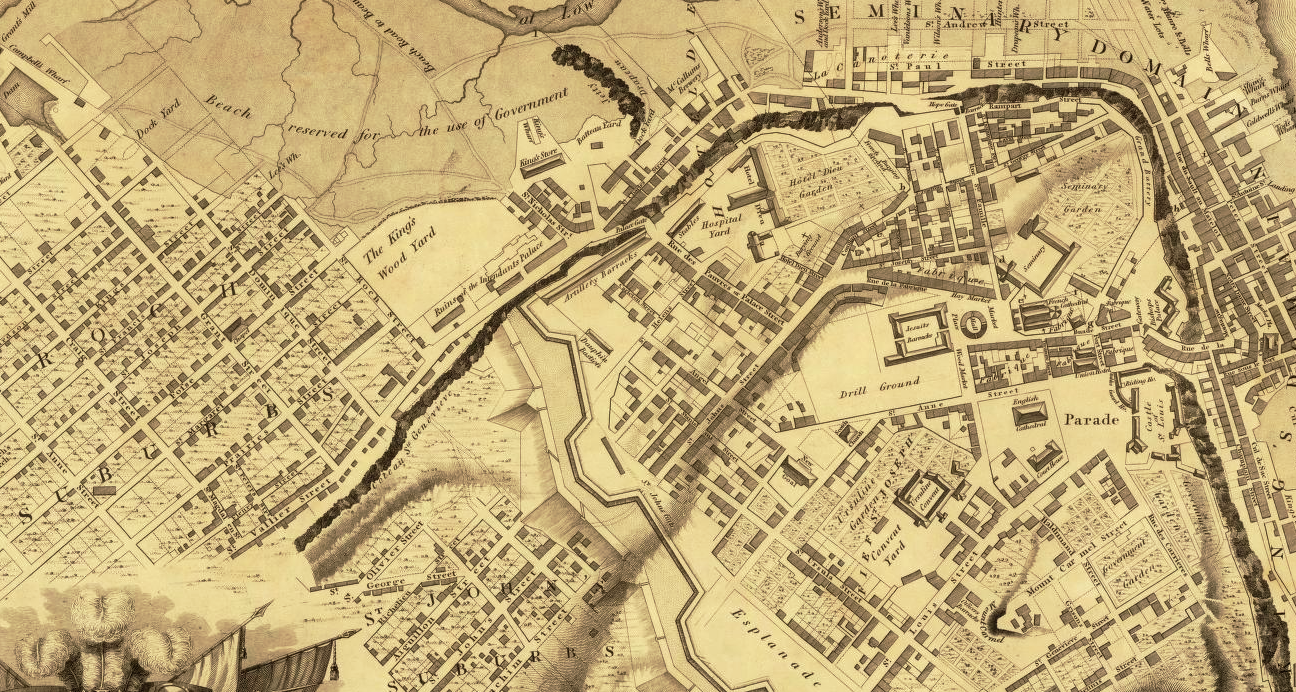
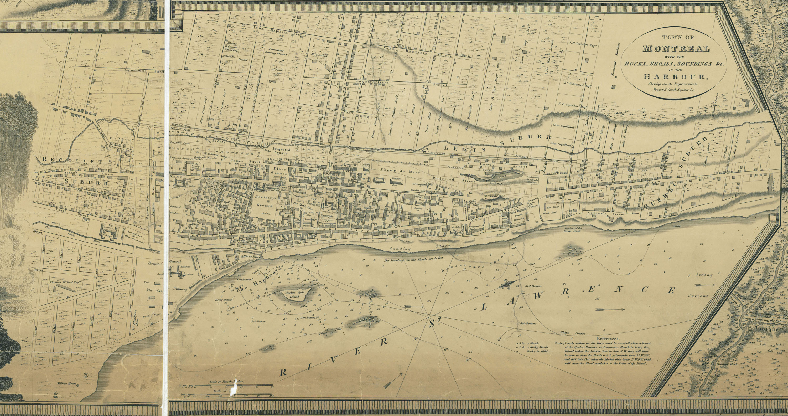
A look at commuting patterns in Canada’s largest metro areas

Toronto proper alone swells by more than 450,000 workers each day (not to mention the 837,000 locals who travel between bed and business within the metro centre). Montreal, similarly, gains almost 390,000 people per day (equal to the entire population of Halifax); Vancouver, about 150,000.

What these maps show are the top 20 municipalities feeding into the big three cities. Each municipality’s pie chart is sized relatively, by total commuters, and ranked one to 20 according to how many of those travellers are exiting their hometowns for the main hub. That explains why places such as Montréal-Est, the unmarked city-suburb at the northeast end of Montreal Island, have been left blank: despite the fact that nearly 30 per cent of the 3,700 people who live there go to work in Montreal every day, it ranks just 54th in total to-Montreal commuters.


Reply With Quote
     
     
  #580  
Old Posted Mar 29, 2019, 10:26 PM
ainvan ainvan is offline
Registered User
 
Join Date: Jul 2007
Location: Toronto/Vancouver
Posts: 965
Reply With Quote
     
     
This discussion thread continues

Use the page links to the lower-right to go to the next page for additional posts
 
 
Reply

Go Back   SkyscraperPage Forum > Regional Sections > Canada
Forum Jump


Forum Jump


All times are GMT. The time now is 2:31 AM.

     
SkyscraperPage.com - Archive - Privacy Statement - Top

Powered by vBulletin® Version 3.8.7
Copyright ©2000 - 2024, vBulletin Solutions, Inc.