HomeDiagramsDatabaseMapsForum About
     

Go Back   SkyscraperPage Forum > Discussion Forums > Buildings & Architecture > Completed Project Threads Archive


    1400 Hi Line in the SkyscraperPage Database

Building Data Page   • Dallas Skyscraper Diagram

Map Location


Thread Tools Display Modes
     
     
  #21  
Old Posted Aug 27, 2012, 3:25 AM
skys the limit skys the limit is offline
Registered User
 
Join Date: Jul 2010
Posts: 304
That is a great image showing how dense the Dallas skyline has become over the last decade.

Compare Lars Plougmann's 2012 image to the same basic view from 2000 and the difference in density is very noticeable:


Courtesy of Forbes from April 2012 article: http://www.forbes.com/pictures/mlj45...gallerycontent
     
     
  #22  
Old Posted Aug 27, 2012, 5:38 PM
colemonkee's Avatar
colemonkee colemonkee is offline
Ridin' into the sunset
 
Join Date: Nov 2004
Location: Los Angeles
Posts: 9,097
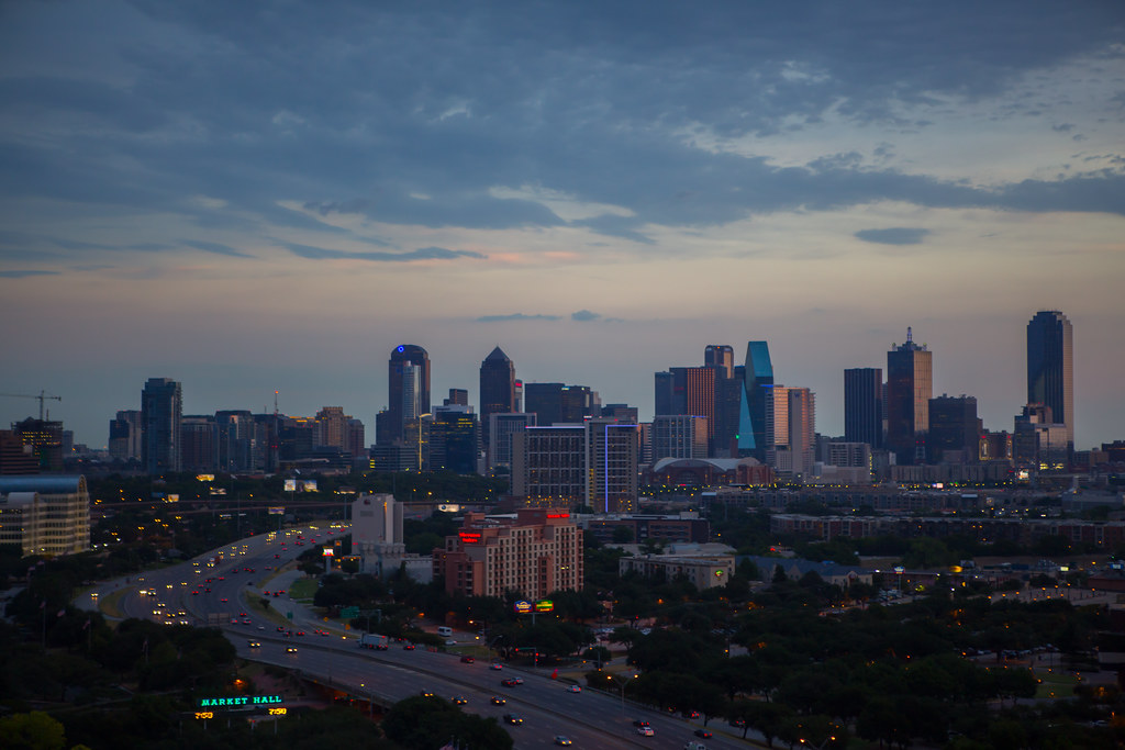
Much of that density has been added to uptown, but with the opening of the Clyde Warren park connecting uptown to downtown, you essentially have one contiguous neighborhood. Now to develop some of the many surface lots north of the Woodall Rogers highway near the Aquarium, and you'll have some serious density going on, especially from that vantage point.
__________________
"Then each time Fleetwood would be not so much overcome by remorse as bedazzled at having been shown the secret backlands of wealth, and how sooner or later it depended on some act of murder, seldom limited to once."

Against the Day, Thomas Pynchon
     
     
End


Go Back   SkyscraperPage Forum > Discussion Forums > Buildings & Architecture > Completed Project Threads Archive
Forum Jump


Thread Tools
Display Modes

Forum Jump


All times are GMT. The time now is 10:12 AM.

     
SkyscraperPage.com - Archive - Privacy Statement - Top

Powered by vBulletin® Version 3.8.7
Copyright ©2000 - 2024, vBulletin Solutions, Inc.