PART 1
PART 2
Sorry for the delay, if you're following my threads on my trip. Organizing a large volume of pictures, and writing about all of them, takes a lot of time. Sometimes I simply don't have time to work on them.
Day 2 of my trip started off in Flagstaff. This was the second of three times that I was in Flagstaff. (The third time was later on this trip.) If you're interested, I did a neighborhood tour of Downtown, the Southside, and the Northern Arizona University campus from when I was in Flagstaff for the first time two years earlier. I have the link below.
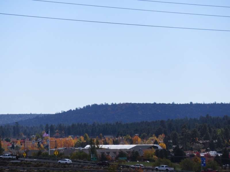
Let me say that Flagstaff is possibly my favorite small city, and definitely my favorite small city out West. I consider a small city to be a city that can host minor league sports, but not major league sports. Big cities are cities that can host major league sports, like Miami, Atlanta, Boston, Seattle, etc. Mid-sized cities are big, but may never host major league sports: Providence, Boise, etc. Smaller than that are smaller cities. Again, that's my way of looking at things. Anyway, Flagstaff is becoming a go-to place and a favorite city for me to visit when I'm out there for several reasons:
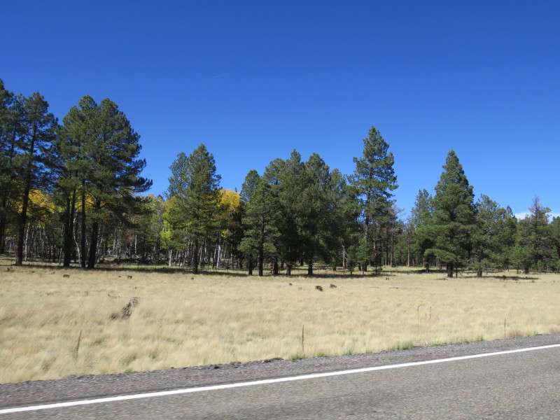
~ First, I love the scenery. Flagstaff is the only true mountain town I've ever been in. I love the setting in the forest (even if this second time here showed that the forest doesn't stretch for hours and hours like I thought it did on my first trip). The high altitude and mountain backdrops make the immediate area very different than what I’m used to, and very cool. But it goes beyond the immediate area. Being an hour or two from so much scenery gives you a little taste of everything. Drive two hours south and you’re near Phoenix, with saguaros and typical desert scenes you think of when picturing Arizona. Drive an hour east and you’re in red rock country. Drive 30 minutes west and you’re in ranch country. Drive 30 minutes north and you’re in the mountains, and the scenery might not be that far off of Colorado’s. Drive 90 minutes northwest and you’re at the Grand Canyon.
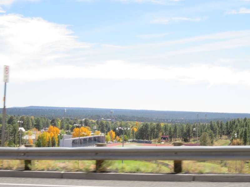
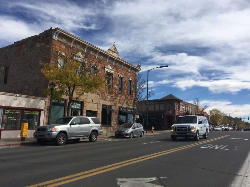
~ Second, I love the vibe of the town. It is clearly a college town, as I saw my first time here, when I was around the day before NAU's 2014 homecoming, and saw this time. There were students walking to and from class, going between Downtown and the Southside and the campus, and there was a diverse amount of ages in town.
~ Third, Flagstaff reminded me of Newark, Delaware, where I've lived with my family and where I also went to school. Newark is a college town, with an FCS (Division 1-AA) school. There are bars lining Main Street, just like there are bars lining Aspen Avenue (and San Francisco Street on the Southside, I think). Newark also has a railroad track cutting through town. It’s slightly different here in Newark. Here, the train tracks separate Main Street, our main commercial artery, from a small residential neighborhood. In Flagstaff, the railroad cuts the central core into two. Nevertheless, the crossings are similar enough in my mind. Even the mix of at-grade crossings and railroad bridges is similar between the two cities. Flagstaff's at-grade crossings for San Francisco Street and Beaver Street are like the at-grade crossing in Newark at North College Avenue and West Main Street/New London Road. The underpass below the railroad at Milton Road in Flagstaff is like the underpass below the railroad at Library Avenue/Capitol Trail.
~ Fourth, the variety of history and architecture. You have Route 66 history, and the roadside architecture that comes with that. Most of it is from the 1920s and 1930s, but there's stuff from the 1950s, and even some historically/architecturally significant buildings from the 1960s or 1970s. What's cool is that there's even an old, original section of Route 66 through the South Side, which gives two styles of Route 66 history/architecture: South Side places on Phoenix Avenue and Mike's Pike, and the well-known Route 66 that stretches out past Downtown east and west. Additionally, you have railroad architecture like the railroad stations and the original buildings on Santa Fe Avenue, and buildings from the late 1800s. You even have pre-Columbian structures, like the cliff dwellings in Walnut Canyon N.M., and the Elden Pueblo, which is literally on the side of the road.
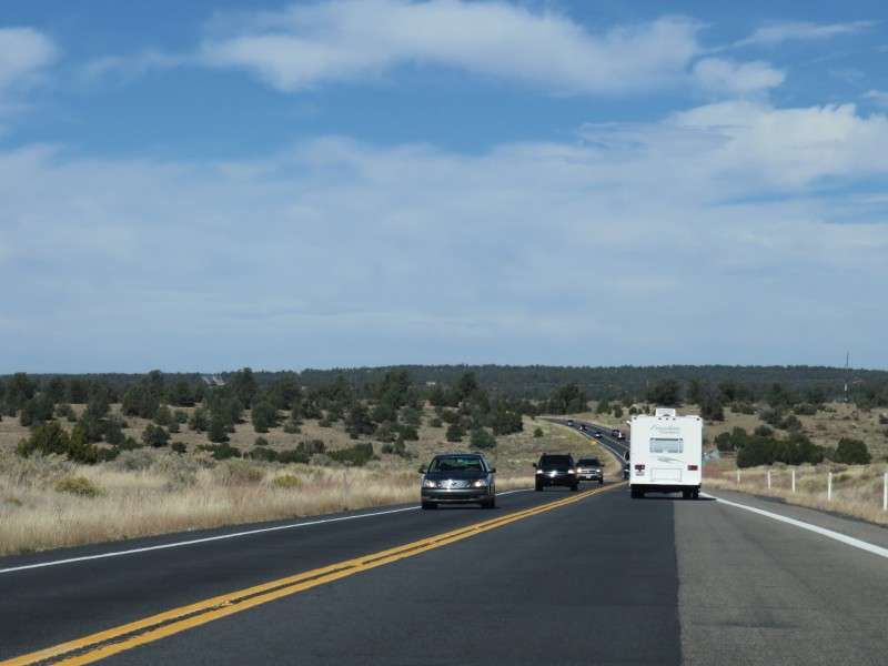
This thread is short in time. It’s pictures from just about 4 hours of a day. But there are a ton of pictures just because I enjoy Flagstaff and the surrounding area so much. And the drive from Flagstaff to the Grand Canyon might be my favorite drive ever.
I drove from Flagstaff to the Grand Canyon two years ago and did a photothread of that, and my entire trip that time, which you can see
HERE.
My neighborhood tour of Downtown, the Southside, and Northern Arizona University can be seen
HERE.
I'm mixing a few pictures taken with my phone in here. I sent them to my family while I was out there.
Here's some music to go along with this set:
• Video Link
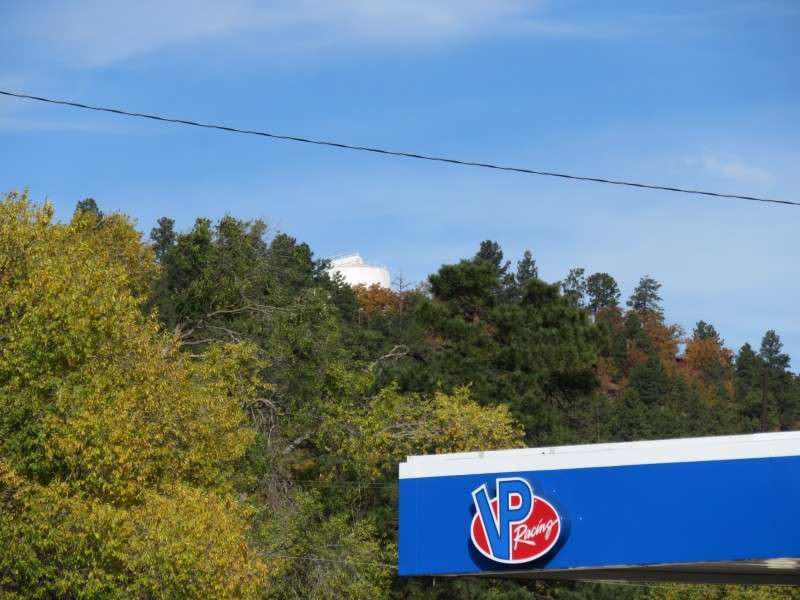
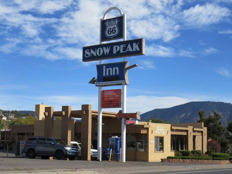
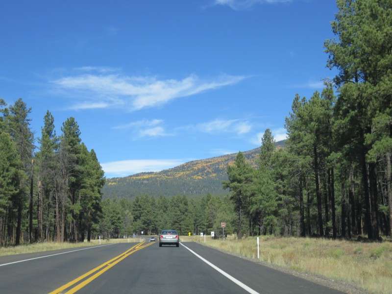
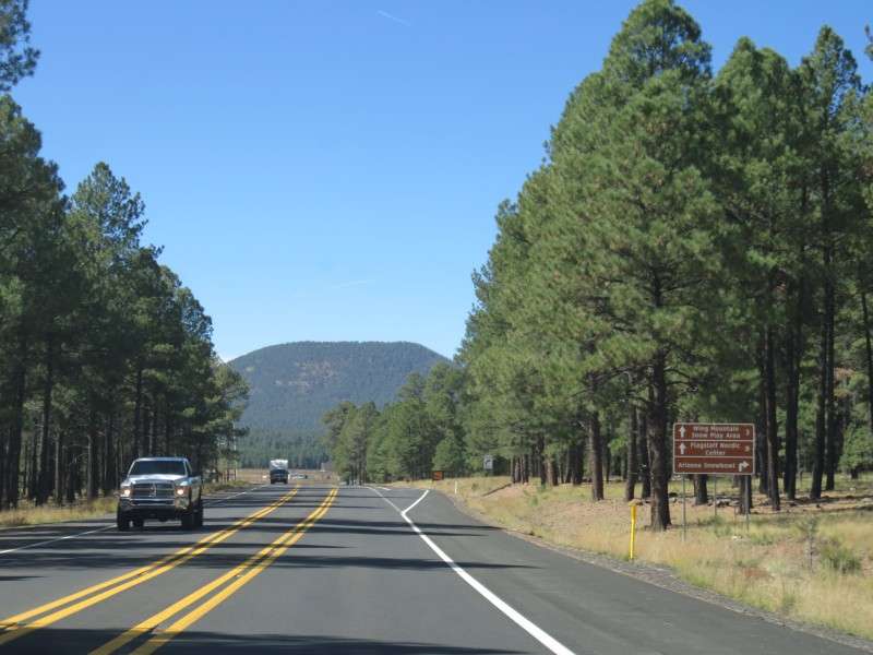
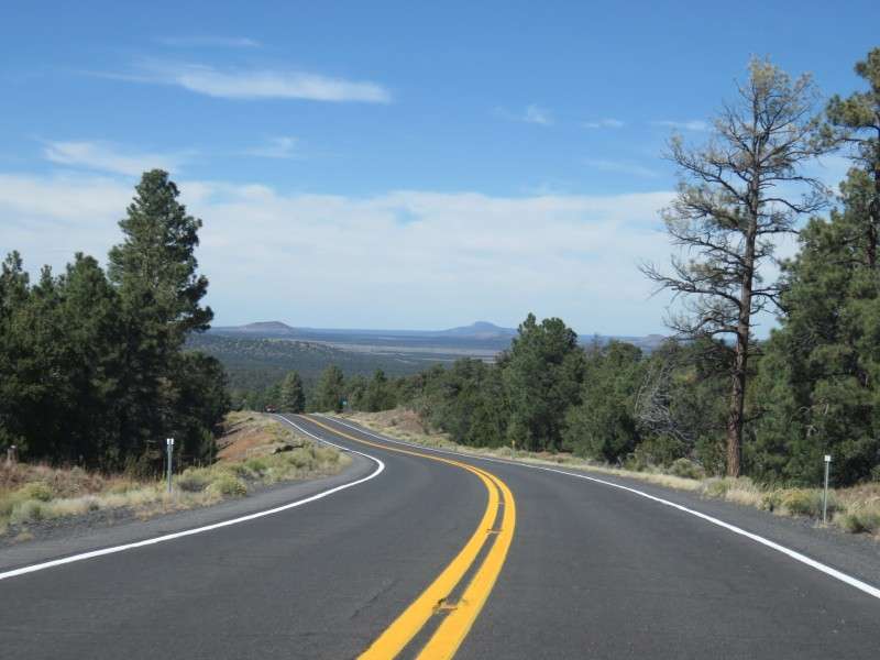
I woke up to this view, from my motel at Milton Road (the "new" old Route 66), Mike's Pike (the original Route 66 before rerouting in town), and Butler Avenue.

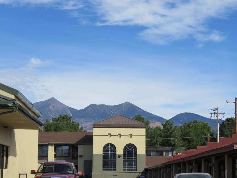
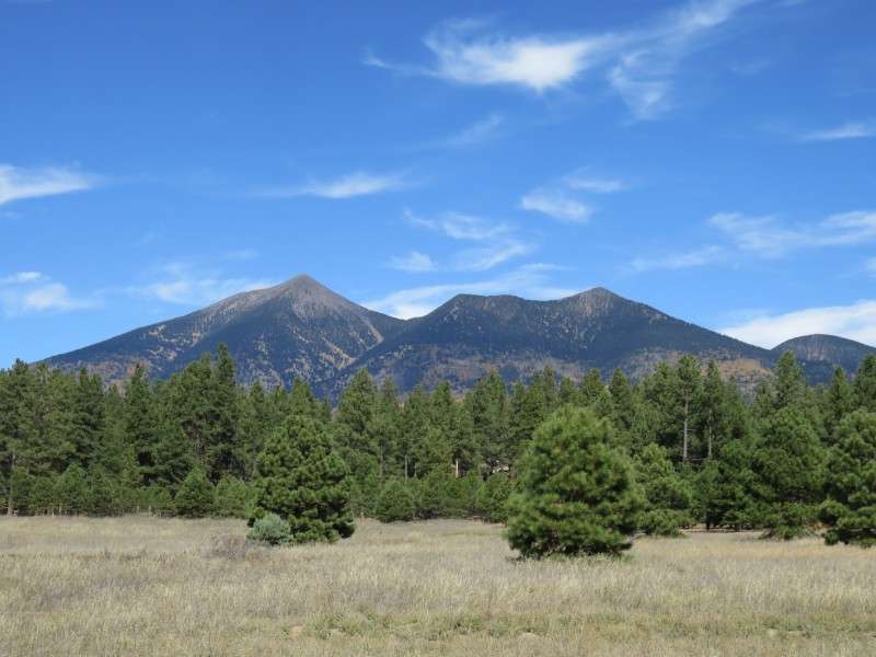
From my room, the San Francisco Peaks were visible. What a backdrop!
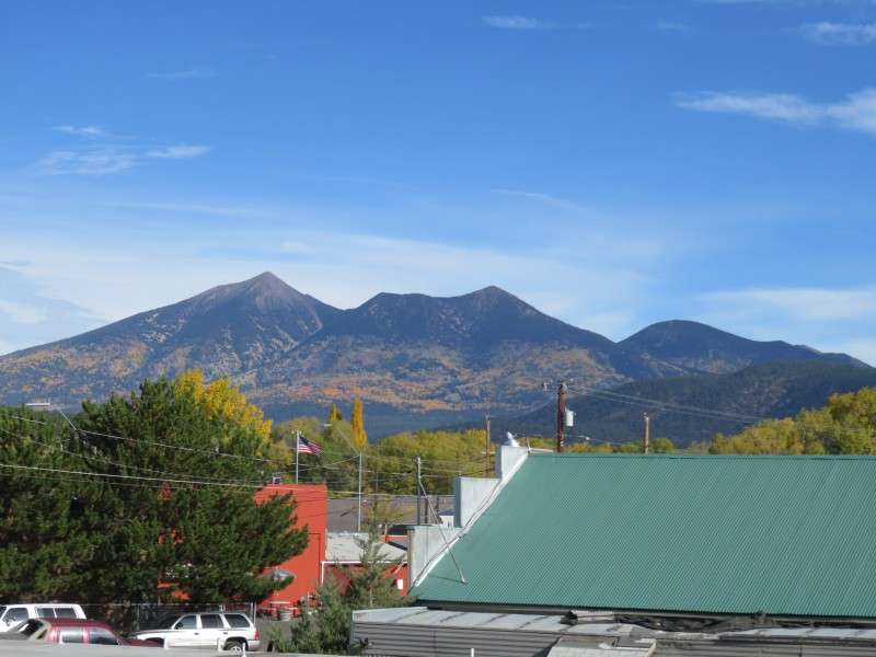
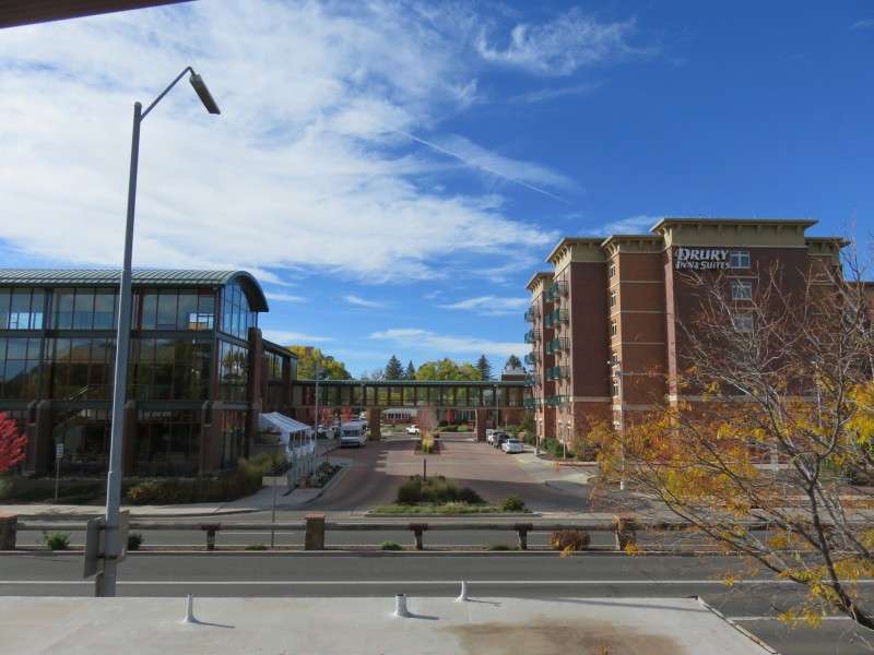
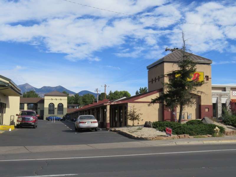
Looking the other way from my room, I got a view of some recent buildings along Butler Avenue. The Drury Inn is supposedly Flagstaff's third-tallest building. Don't mistake Flagstaff for a highrise or midrise city, even though it is the economic hub of northern Arizona. Next to it is the High Country Conference Center.
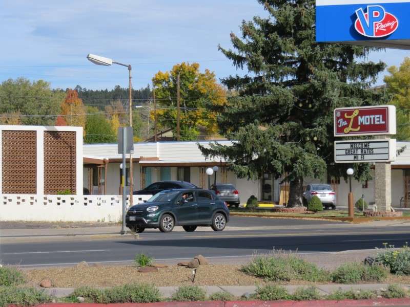
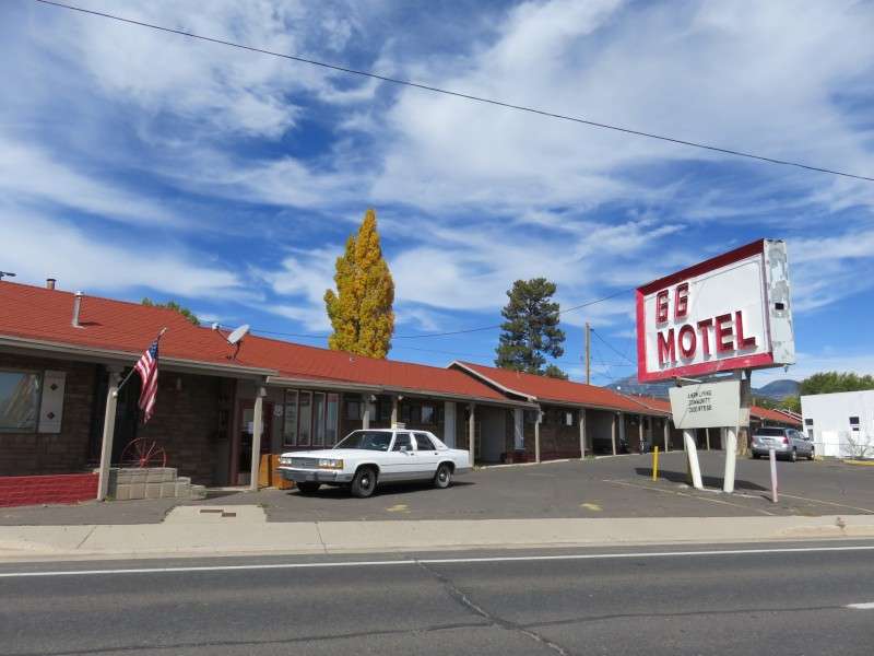
Across Mike's Pike and Milton Road from my motel was another Route 66 motel.
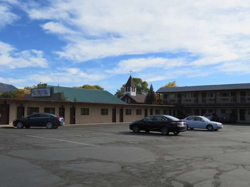
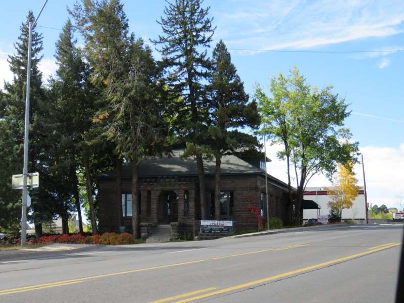
Here was my motel. I was fine with a dumpy place because I was only here for 7 hours. This motel was built in 1956. Behind it is the old C & M Garage on the left, built in 1926, and Our Lady of Guadalupe Catholic Church, also built in 1926.
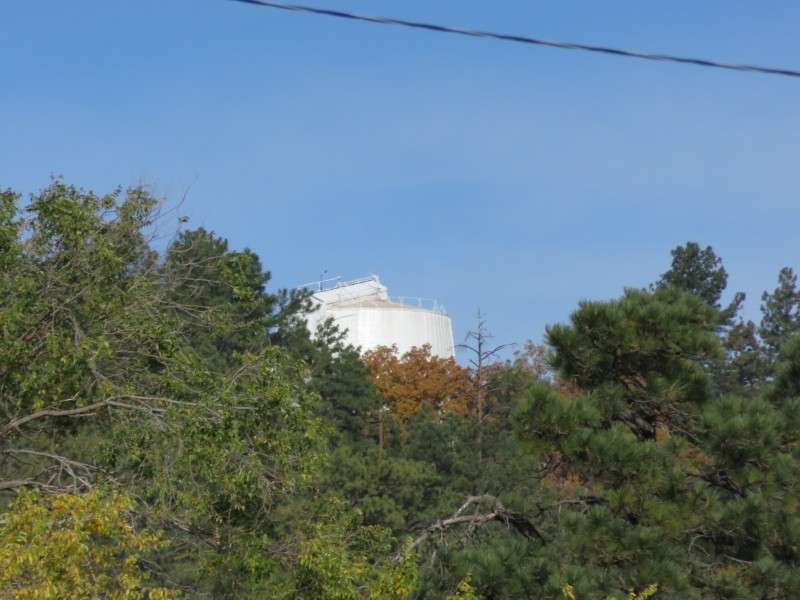
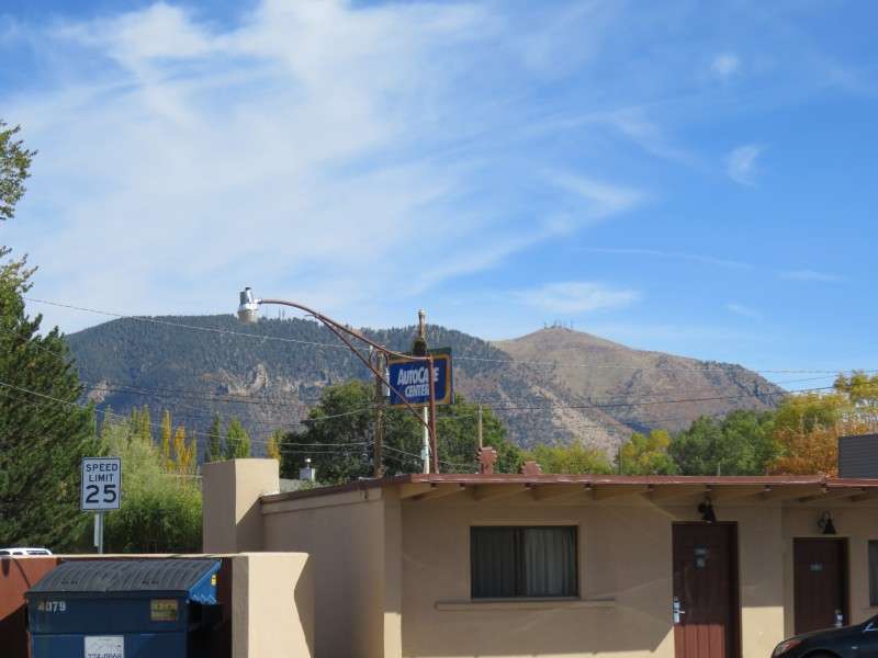
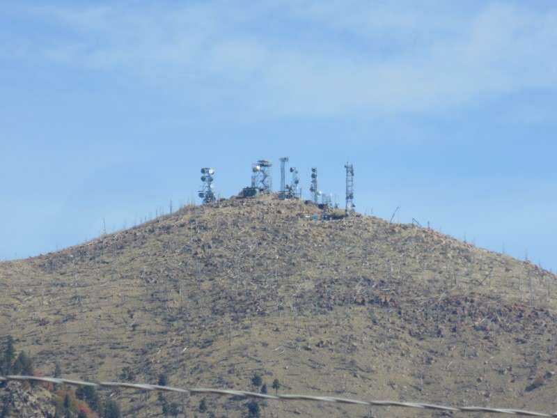
Right from the front door of my motel room, I could see the Lowell Observatory. I had missed this the first time I was in Flagstaff. I knew to look for it this time!
Lowell Observatory is the place where Pluto was discovered. It is also where the rings of Uranus and the three largest stars were discovered. This building is the Clark Telescope Dome, housing the 1896 telescope that has been retired from research.
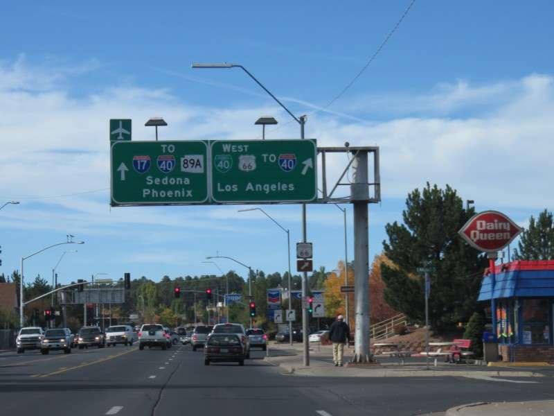
After picking up breakfast AND lunch down the street at Jack In The Box (another Western fast food chain was crossed off the list), I hit the road for the Grand Canyon. But not before exploring Flagstaff! Let's start off! This sign was just south of my motel. Off to Los Angeles? That would be an amazing drive, but it will have to be another time.
Instead, I headed down West Route 66, which is Route 66 west of Milton Road and Downtown. This portion is in the La Plaza Vieja neighborhood.

This section of Route 66 in Flagstaff has fewer historic buildings on it than East Route 66. But I wanted to look for anything on it anyway. This diner might not be that old, but the neon would be worth going back for.
One of the best buildings on the section of Route 66 west of Downtown is the Arizona Lumber & Timber Company Office. The office was built in 1900.
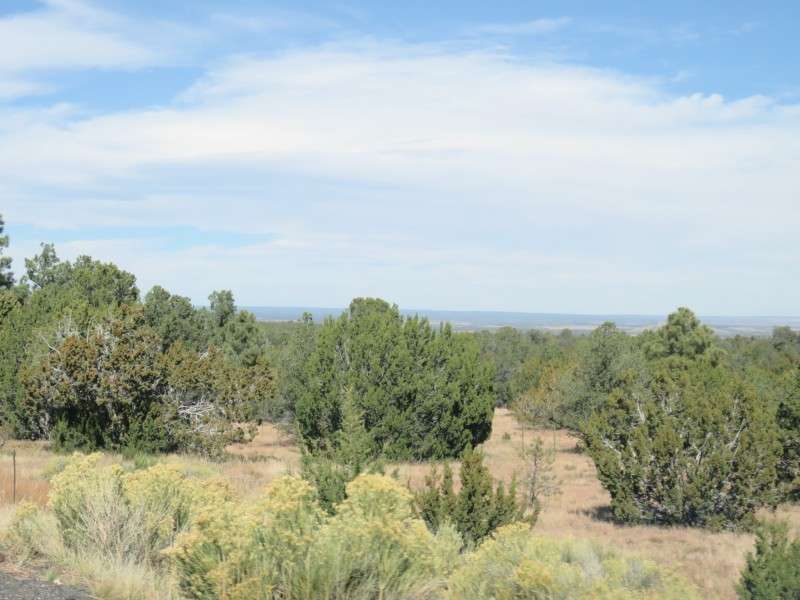
One thing I had not seen when I was in Flagstaff two years ago was the escarpment for the Mogollon Rim south of town. I got to see it this time since I was exploring some new areas.
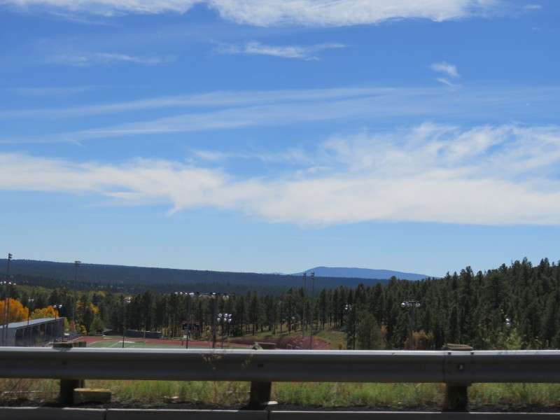
I also saw the J. Lawrence Walkup Skydome! The Skydome was built in 1977, and houses Northern Arizona University's football team. The stadium was the largest clear-span timber dome in the world until 1983, when the Tacoma Dome in Tacoma, Washington, was completed.

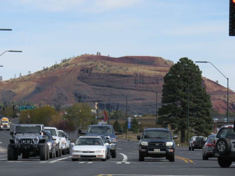
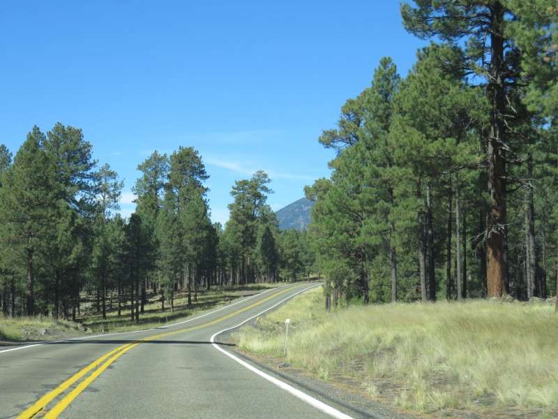
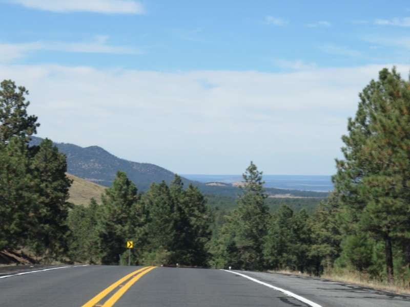
From West Route 66, you get a clear view of Mount Elden.
Most of the motels on West Route 66 are nondescript and have little history behind them. None have the neon that you can find with some of the motels elsewhere.
The Snow Peak Inn is historic, but it doesn't have the neon like some of the motels on East Route 66.
The Saga Motel was built in 1961.

The Super 8 Motel was built in 1954. In 1959, it became the first Ramada Inn.
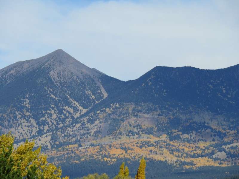
Behind the Super 8 Motel, you can see Agassiz Peak on the left, Fremont Peak in the center, and Doyle Peak at the right.
Mount Elden, and what I think is TV Hill on the right, dominate the views around town. The Jack In The Box on the left was where I had picked up breakfast and lunch. I liked that you can get either at any time; it allowed me to save time and get lunch there, and bring it with me to the Grand Canyon.
I stopped by my motel to zoom in on the Lowell Observatory again.

The telescopes sit on Mars Hill. I zoomed in on the vegetation on the hill.
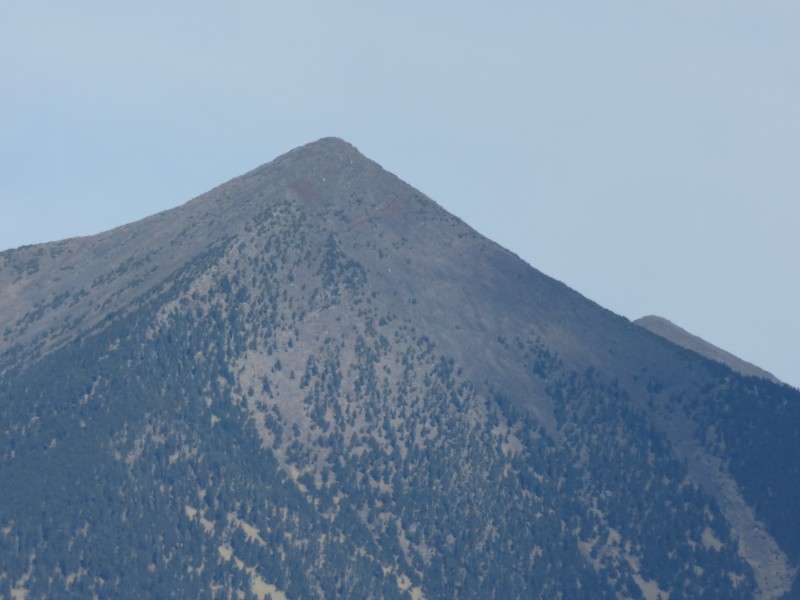
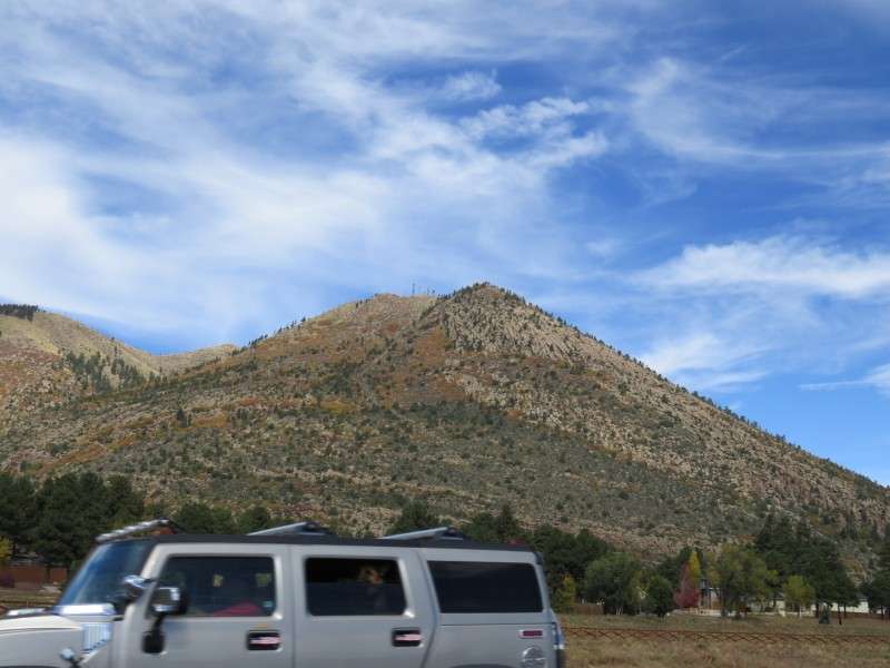
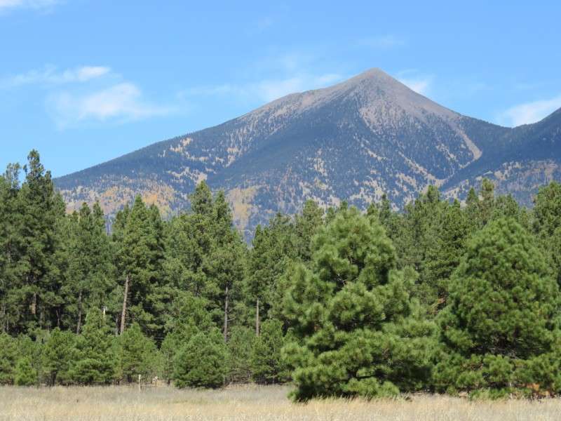
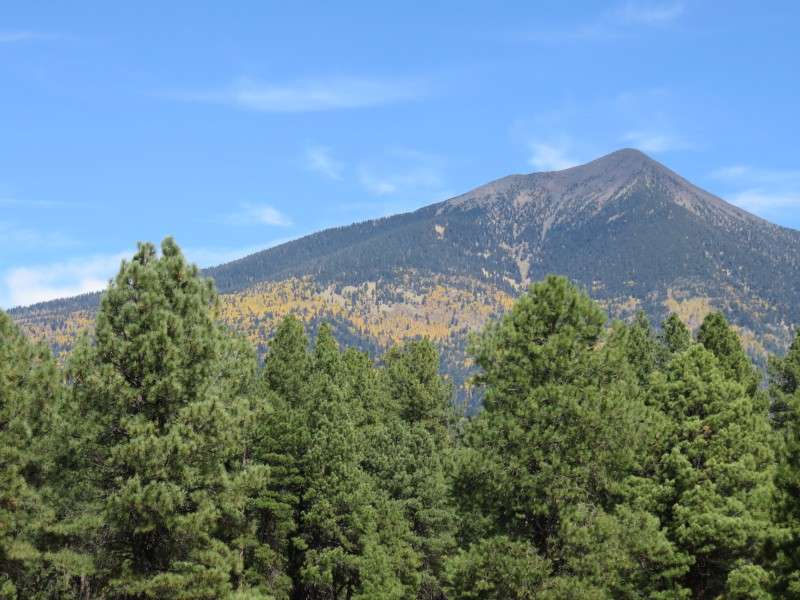
I zoomed in on Agassiz Peak. At 12,360 feet, it's the second-highest point in Arizona. And peeking out from the right, I think that's Humphrey's Peak! Arizona's highest point!
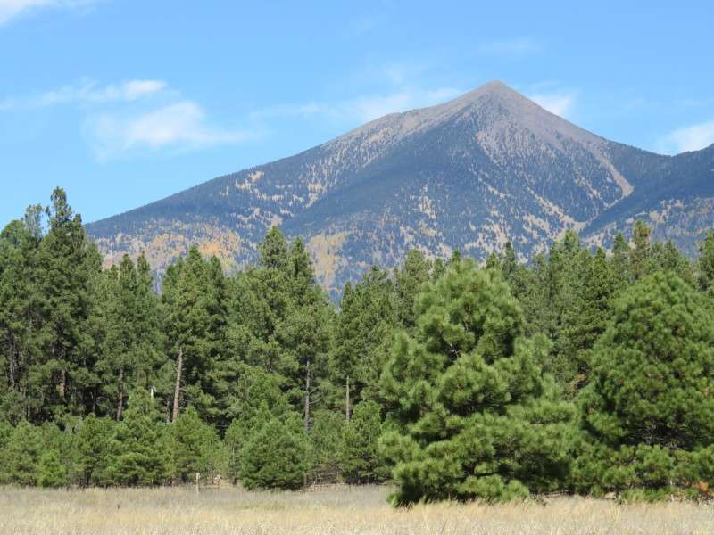
I zoomed out a little bit and got part of Fremont Peak.


I got Mount Elden from the motel parking lot.
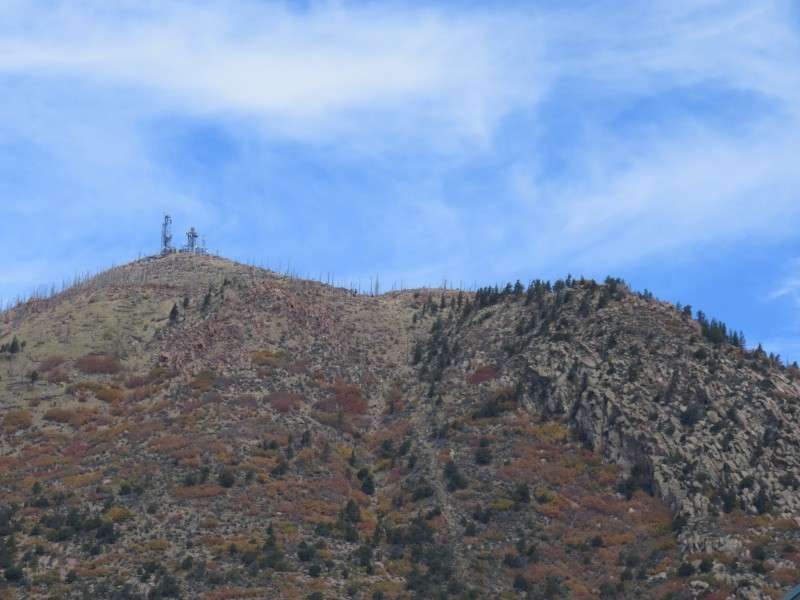
If this really is called TV Hill, it's a good name.
Wandering around, I saw that the car here stopped in front of this house to take pictures of the leaves.
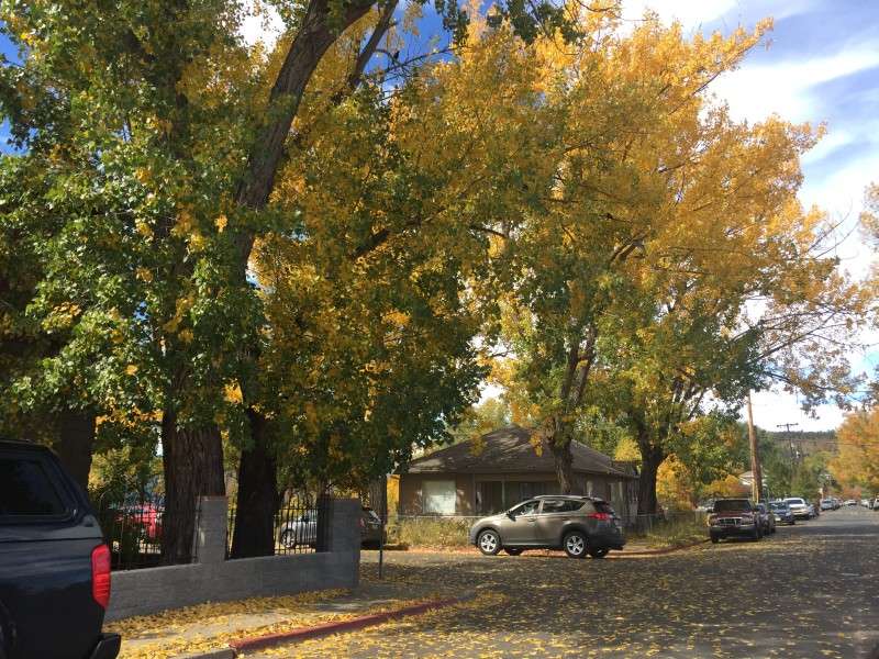
Why don't I take some pictures myself?
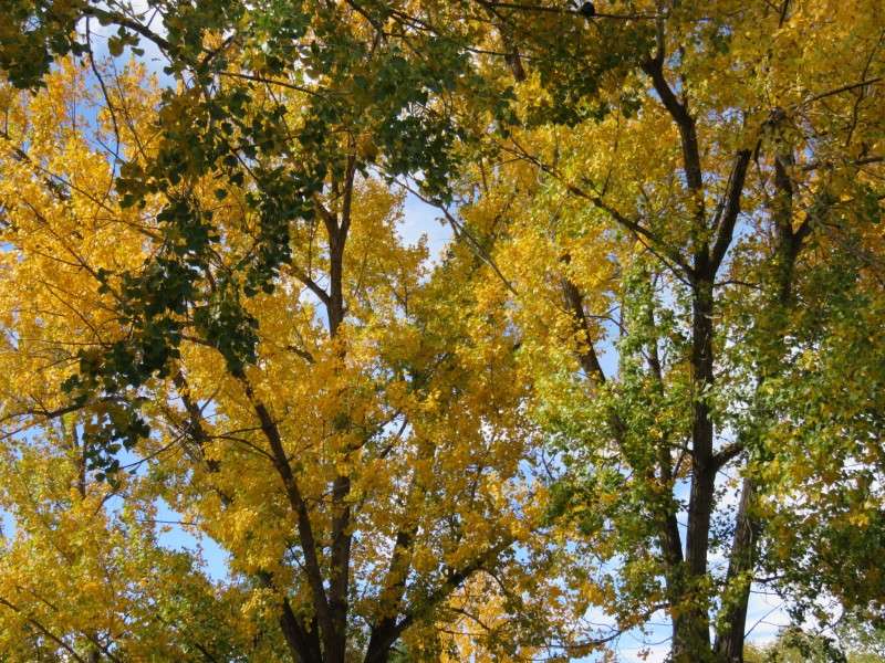
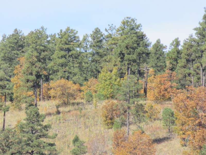
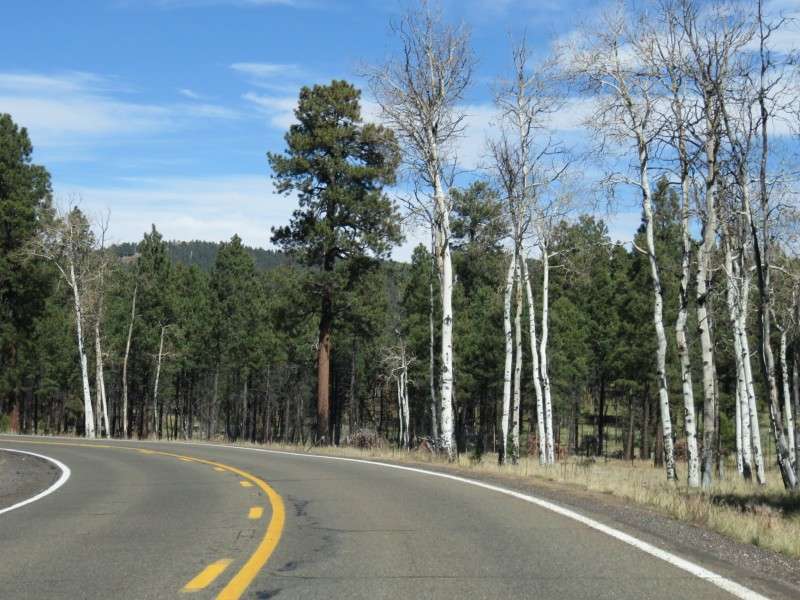
Does anyone know what type of trees these are?

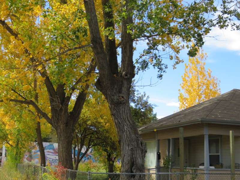
Here's the trees in front of a typical inner neighborhood of Flagstaff house.
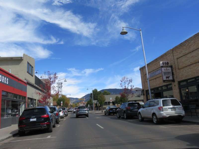
I then headed for East Route 66. Here's South San Francisco Street as I turned onto it in my rental car. San Francisco Street in the Southside neighborhood has a few bars and hostels, and appears to be one of the nightlife areas of Flagstaff, particularly for NAU students.
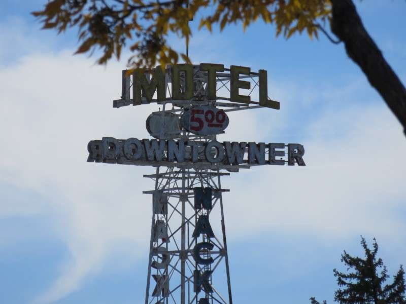
The Downtowner Motel is one place that's now a hostel. The motel was built in 1929.

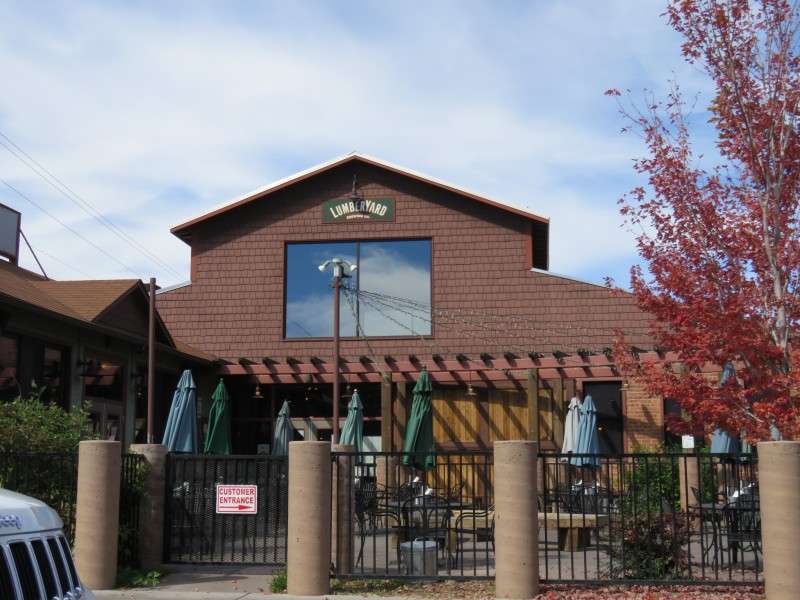
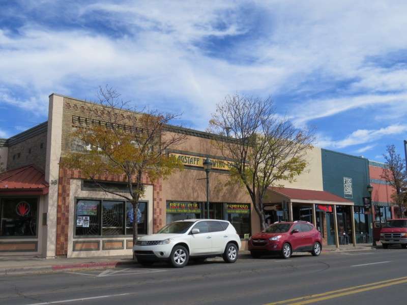
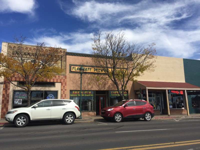
On San Francisco Street by the railroad tracks is LumberYard Brewing Company, which has won a few medals in the World Beer Cup in the last 5 years. I would visit here on my way back to Albuquerque a couple days later.
I was then on Santa Fe Avenue, which is the old Route 66.
Not everything is old on Route 66. This looks like it was a KFC restaurant and was built in the last 20 years. But there's an old motel next to it, on the right.
Here's an old motel with a cool neon sign. Bonus old 1980s car, like you would expect at a seedy place!
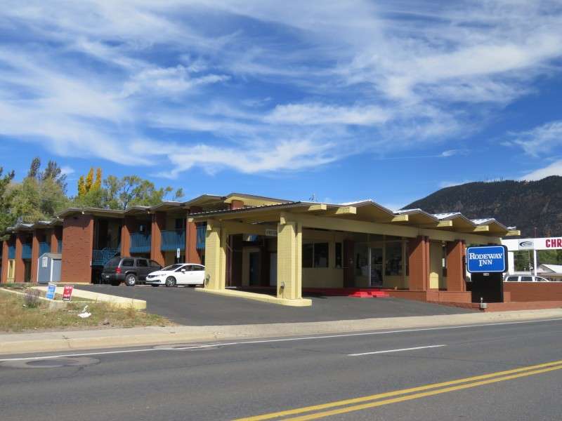
I stayed at this Rodeway Inn, back when it was the Royal Inn, two years ago when I went to the Grand Canyon for the first time.
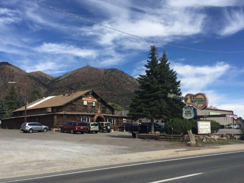
One of the iconic landmarks on East Route 66 in Flagstaff is the Museum Club, which was originally the Dean Eldredge Museum. It was built in 1931 for Eldredge's taxidermy collection. When he died in 1936, it was turned into a nightclub. Today, it's a little mix of both, from what I've heard.
I could get a better view of the top of Mount Elden from Route 66.
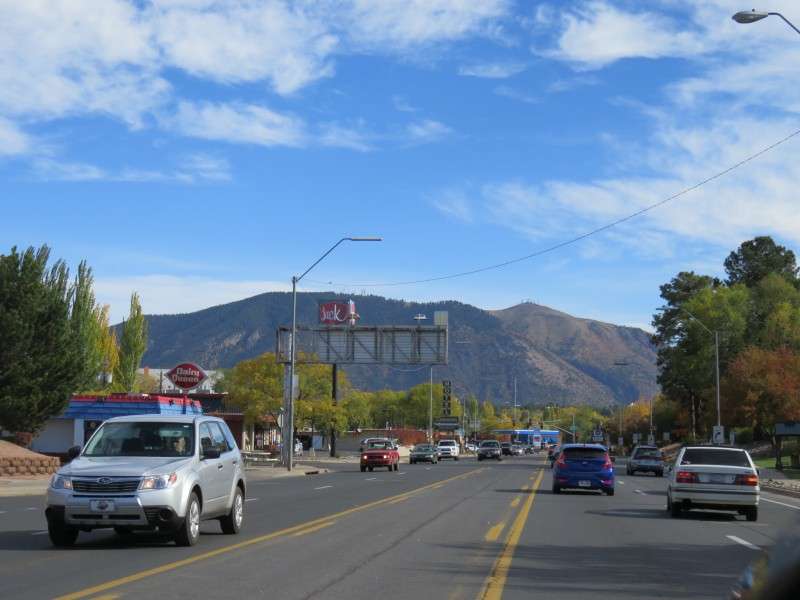
In the distance as you head east is Sheep Hill, which is 7,375 feet (2,248 m) high. Route 66 in Flagstaff is around 6,850 feet high.
This jeep ruined my picture of the mountain!
That's better.
Here's another picture, with some typical housing down at the foot.
I got another view of the plateau to the south.
I headed back west, then turned around and headed east again to find the cheapest gas and get a few more pictures. After looping back, I got a picture of a period Route 66 car on Route 66!

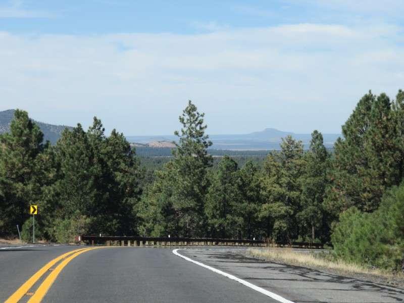
I turned around again and headed west. I ended up doing a couple laps on Route 66. I saw the escarpment for the Mogollon Rim, with this section to the southwest.

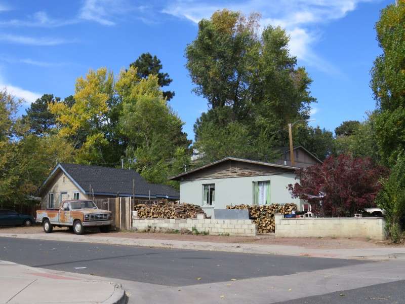
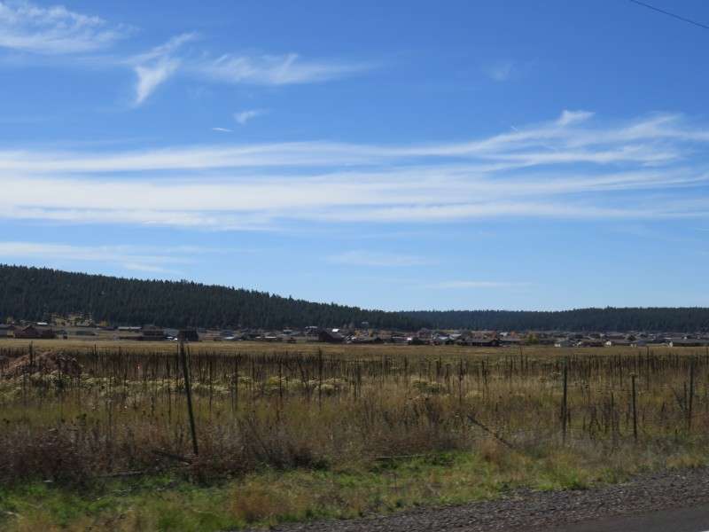
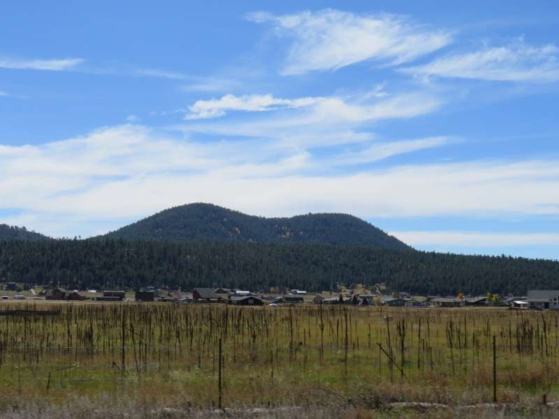
My next stop was the neighborhood of Sunnyside. Sunnyside is the neighborhood "inland" from Route 66 at the Rodeway Inn, which I stayed in 2 years ago. I wanted to explore this neighborhood since I had only seen it from the highway in my haste to check out other neighborhoods the first time around.
Sunnyside seems like a typical bygone lower middle class neighborhood. The houses are simple and small.

After exploring Sunnyside, it was time to head to the Grand Canyon. I took E. Cedar Avenue over McMillan Mesa to US Route 180.
I could see what I think is Anderson Mesa, which is 7,100 feet (2,164 m) high. I'm not too sure, though. I think this is also part of the Mogollon Rim.

I zoomed in a little more on the mountains.
Blowout!
Here's a better picture of the same stuff. That looks like the escarpment or a mesa or something to me. At the bottom of this hill are the athletic fields for Coconino High School.

Cedar Avenue is a nice back-door connector between the eastern Flagstaff neighborhoods of Sunnyside and Greenlaw Estates, and the central Flagstaff neighborhoods of Hospital Hill, Downtown, and the Townsite.

When Cedar Avenue intersects with Gemini Drive, it becomes Forest Avenue and descends into the Hospital Hill neighborhood.
I had forgotten to get gas while in Flagstaff, since it was much cheaper than out in the middle of nowhere, so I backtracked yet again and headed to Route 66. I got a picture of the big towering sign for the Downtowner Motel.
The Bank Hotel, on Route 66. It was built in 1887, and was originally a bank and a hotel.
On Route 66 in Downtown is the Flagstaff Brewing Company, inside the old Arizona Brewing Company (ABC) from the 1800s. Unfortunately, I did not have a chance to go to the Flagstaff Brewing Company. Or the Mother Road Brewing Company, for that matter (but one Mother Road beer was a guest tap at LumberYard Brewing Company when I was there).
Flagstaff Brewing Company's facade is noatable for the "ABC" letters from the Arizona Brewing Company, back when the structure was built in the late 1800s.
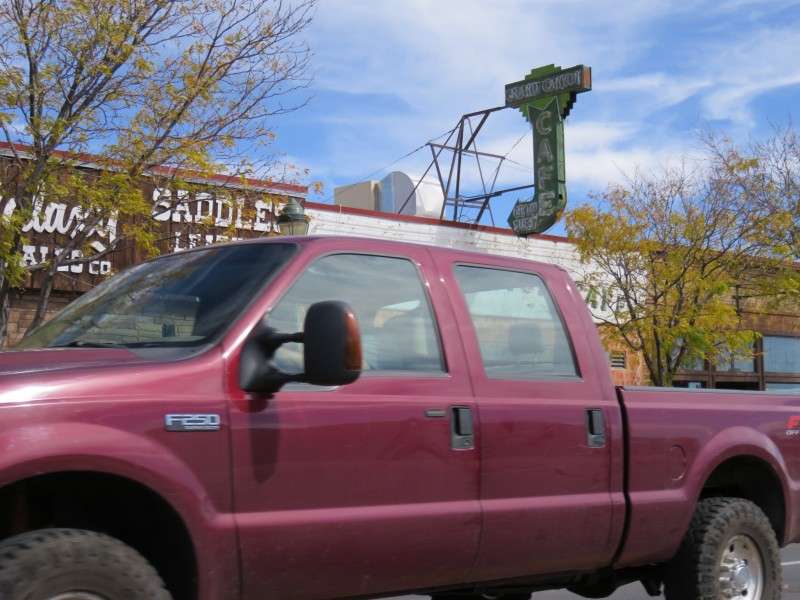
This truck ruined my picture of the Art Deco style Grand Canyon Cafe! At least I got the old neon sign.
Here is what the cafe looks like.
On Route 66 at Switzer Canyon Drive is the Dog Haus, formerly Der Weinerschnitzel. It was allegedly here that Jackson Browne, co-writer of "Take It Easy" by the Eagles, was standing outside while a girl in a Toyota truck slowed down as she passed him. This incident was amalgamated with a story where Jackson Browne's car broke down in Winslow, and he had to spend a long day in the town.
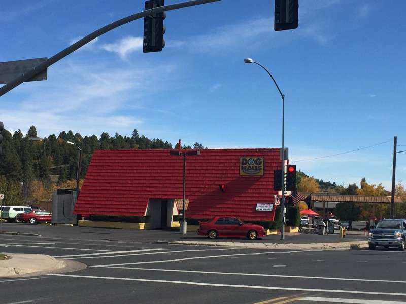
I stopped for gas at Fry's, at Route 66 & Switzer Canyon Road. I got a picture of Mount Elden again from here.
Fry's is next to the Dog Haus, mentioned earlier as the place where the famous stanza about standing on a corner and a girl in a flatbed Ford drives by.
I headed west for good. These signs were along Route 66. The top, of course, is a Historic Route 66 shield, similar to those when Route 66 was commissioned. Below that, I think, is a sign signifying an Arizona scenic route. I saw these in other areas of Arizona, and elsewhere, they were colored.
They had a bright blue for the sky, brown for the hillside, and white for the desert at the bottom third.

I got a great view of the Clark Telescope Dome at Lowell Observatory from Route 66 as I entered Downtown.

Here's where I got a great view of the dome up on the hill.
Before turning onto US 180, I was able to get a picture of the Motel Du Beau's neon tower. The motel was built in 1929.

Finally, I was leaving Flagstaff. As you take US 180 out of town, you rise up in elevation just enough to hit 7,000 feet.

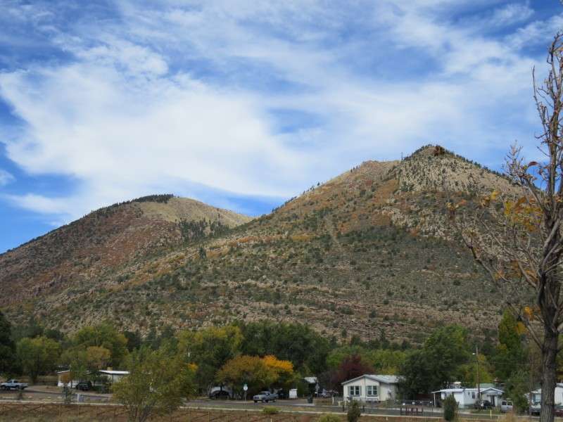
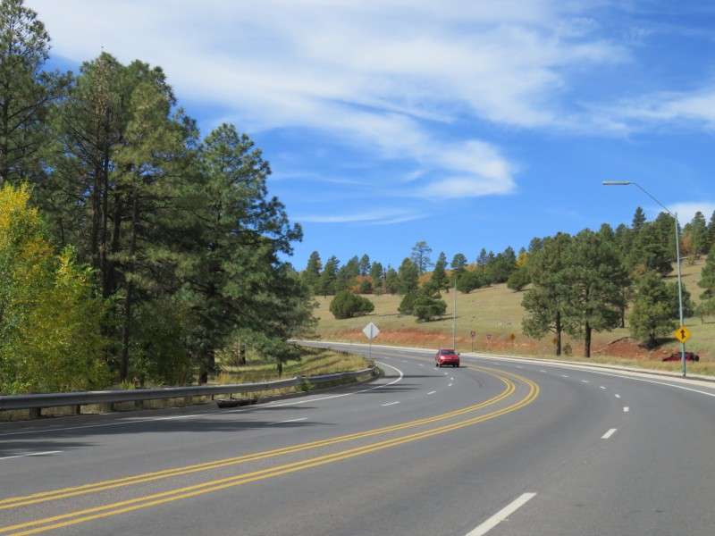
I told myself I wouldn't really stop to take pictures on the drive to the Grand Canyon, so I wouldn't waste time, but I couldn't help myself. The mountains were too spectacular again. I pulled over at Shultz Pass Road to get some pictures of the peaks.
If you look at my thread from two years ago, I was here then. By the way, Shultz Pass Road goes between Mount Elden and Fremont Peak, and it leads to the road to the top of Mount Elden. I'll have to take a day to go up to the top of one or more of these mountains some time!

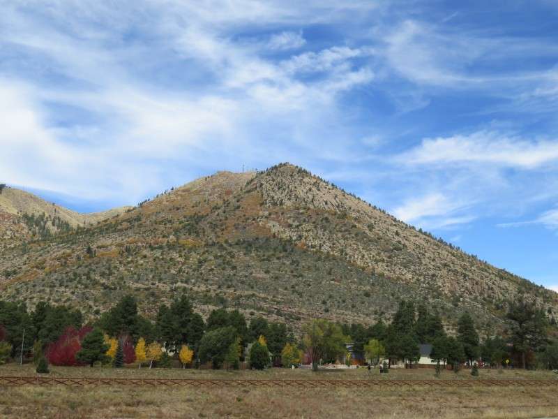
Aggasiz Peak still sticks out.
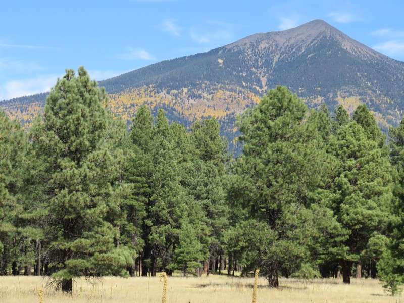
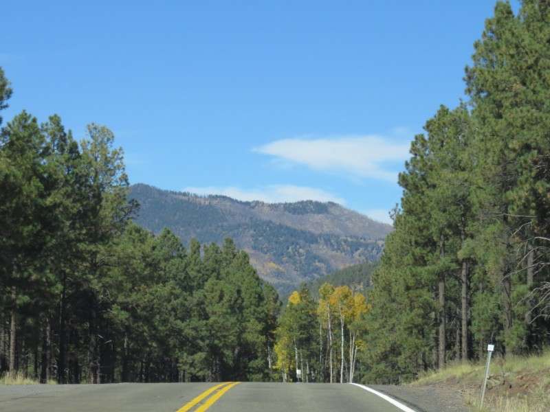
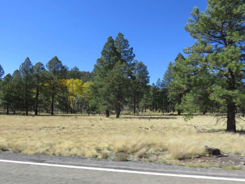
I zoomed in more this time around because the trees on the mountainsides were at their peak foliage, which I missed two years ago.
Across US 180 (Fort Valley Road), Shultz Pass Road becomes Fremont Boulevard, and winds through the Cheshire neighborhood.
Back on the road, I wanted to get a picture of what the forest was like in this area.

There's still quite a few side roads along the way, before you reach the Baderville community.
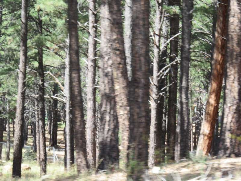
I got another picture of the ponderosas, along some private land fenced in.
Moving on...

Before reaching Baderville, I got a better view of the aspens on the mountainside.
Even though I had stopped at a parking lot for a trail and a restroom two years ago, I had to stop again. How could I not?

Across the road was a meadow.
Shortly after getting back on the road, I reached Snow Bowl Road, which takes skiers to the Arizona Snow Bowl ski area.
At Snow Bowl Road is the community of Baderville.
Baderville was named after the Bader family, which still lives there.

South of Baderville is A 1 Mountain, which is 8,300 feet (2,530 m) high.

After Baderville, I entered the forest for quite some time before the next stretch of open land.
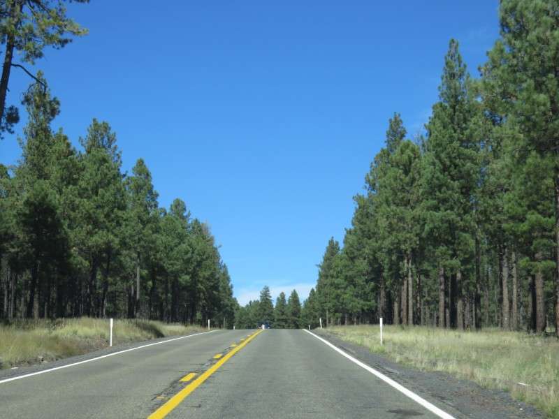
I then reached the beginning of Coconino National Forest.

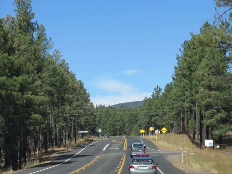
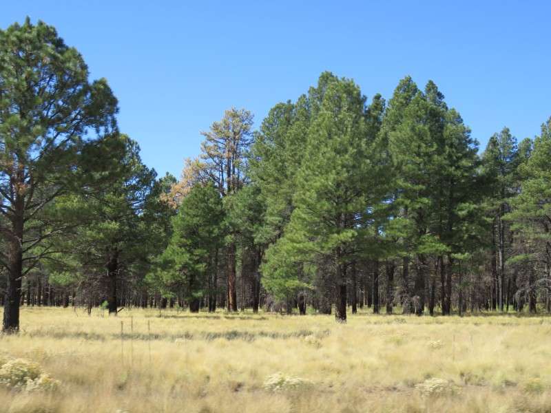
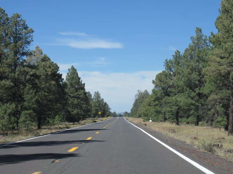
Like two years ago, I found the drive through the ponderosa pines enchanting.

I made a video of some of the drive. (And unlike my viedo of the Musical Road in New Mexico, I'm embedding it this time!)
• Video Link
After a while, I reached 8,000 feet in elevation.
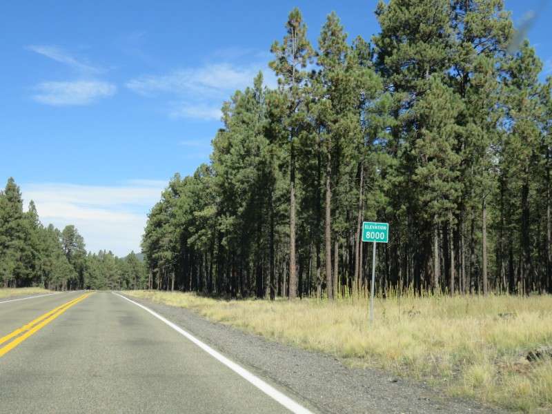
This is the view from the road where you reach 8,000 feet.
Once in a while there were little meadows like this.
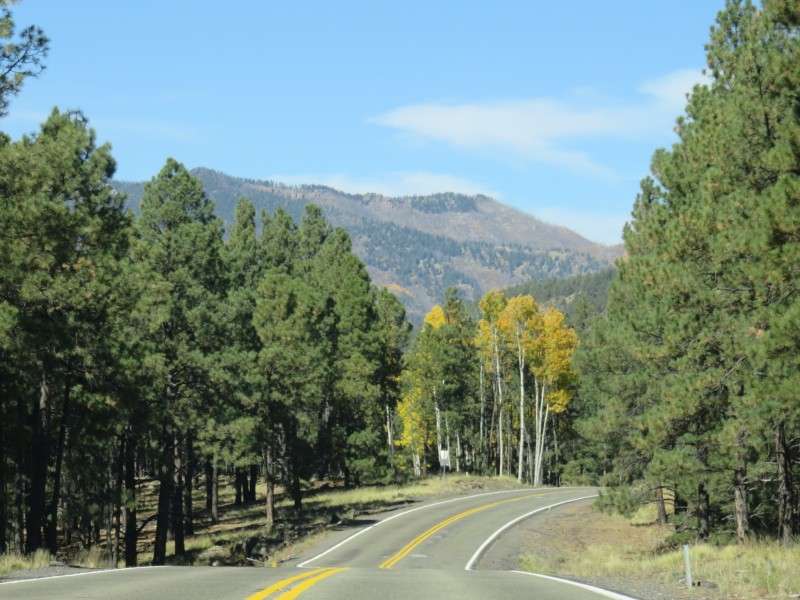
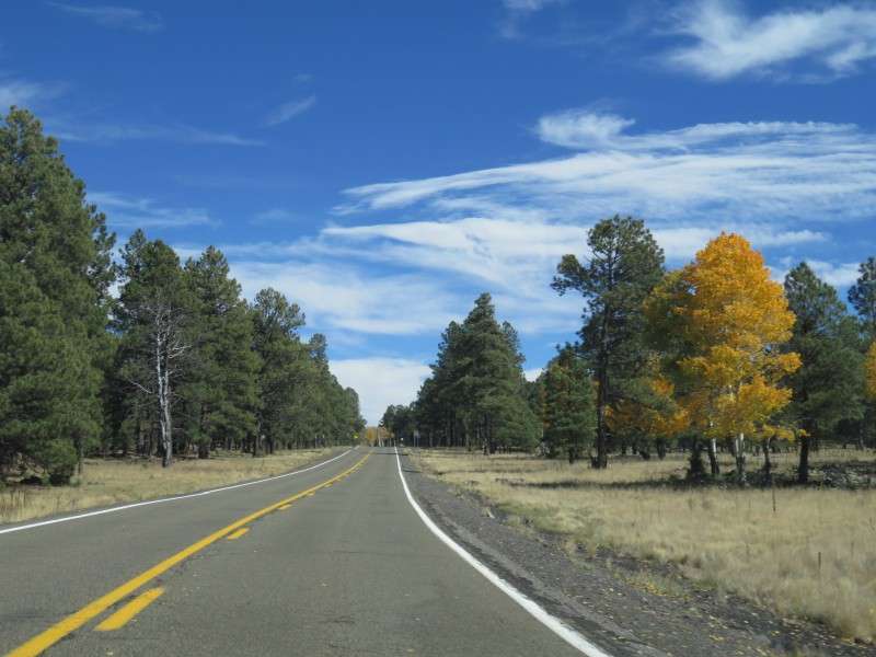
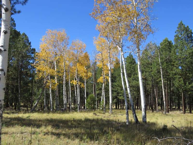
When you're near 8,000 feet, the aspens are a little more plentiful.
Winding through the forest again...


The Arizona Nordic Village is apparently a place to do some cross-country skiing, and showshoeing. You can also stay in yurts and cabins, like they do in snowy places. It is located about 15 miles northwest of Flagstaff.

I continued on past some roadside high-altitude meadows, and ponderosa pines and aspens.
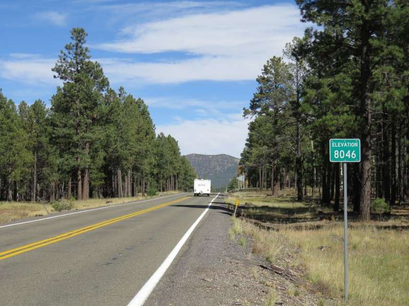
I then reach the summit of US Route 180, at 8,046 feet. I had seen this two years ago, but drove past it so fast that I missed out on it. I didn't realize that this was the highest point on the road. This spot is the highest in elevation I've ever been when on land.
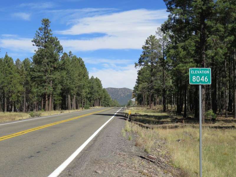
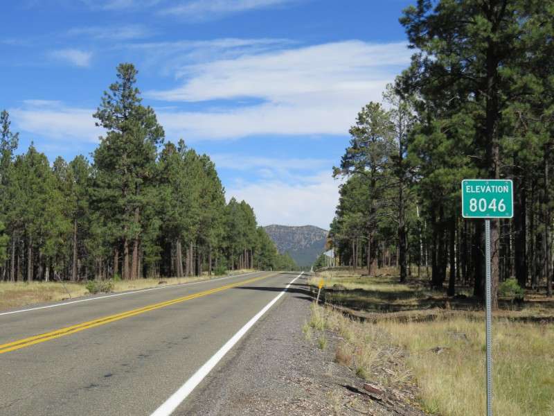
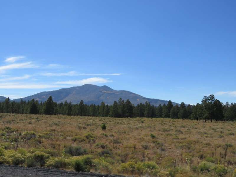
Here's the view of Saddle Mountain from the spot. The mountain has an elevation of 8,865 feet (2,702 m).
Across the road from the sign was a grove of aspens and a mountain meadow. I went over to take some fall foliage pictures.
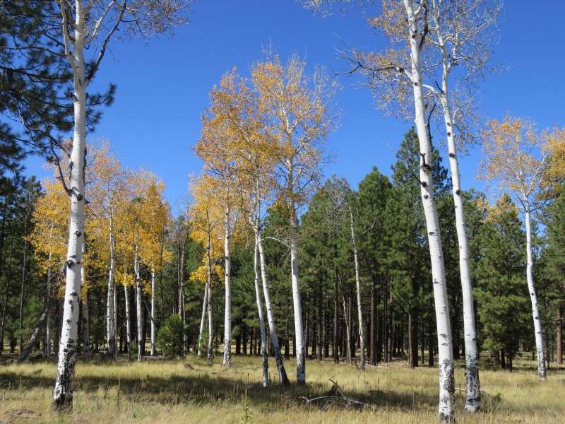

Looking back towards the way to Flagstaff, there were more aspens.
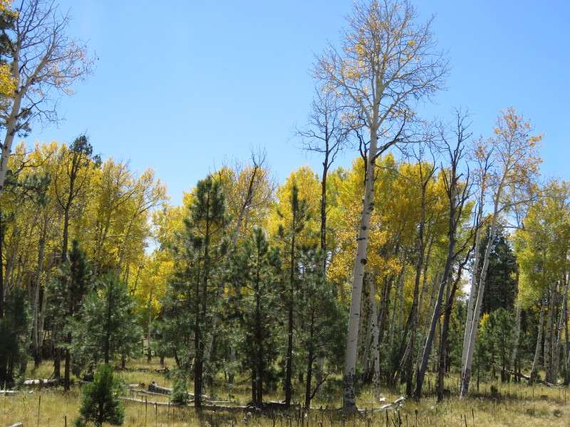
I took a few more pictures of the area.

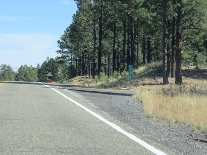
Back on the road, I took a picture of the mile marker so I could remember where that highest point in elevation is. Of course, it was prtty easy for me to find it in Google Maps anyway,
so here's where you can see it.
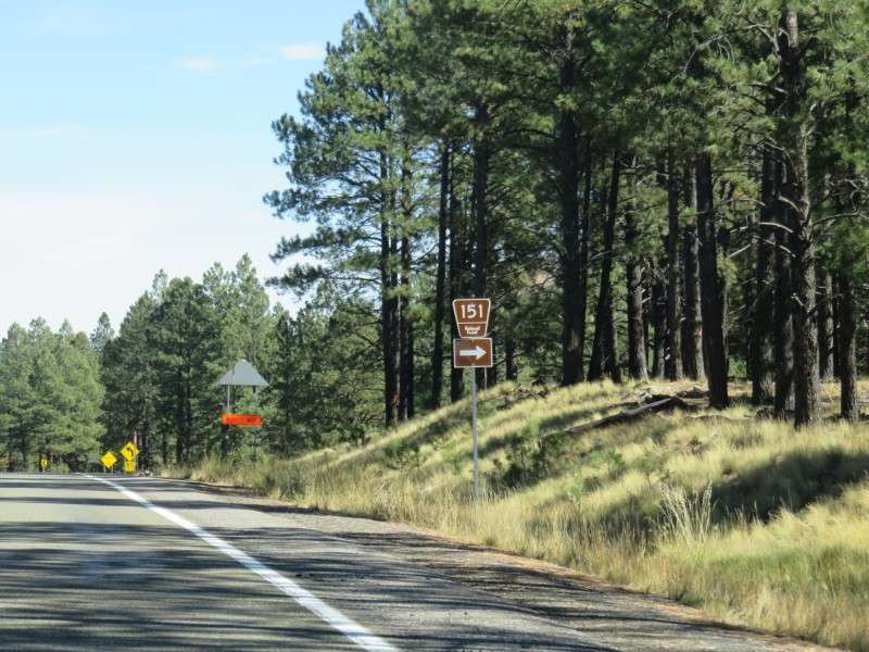
Every once in a while, there were roads going into the forest. Here's what the signs for National Forest roads look like.
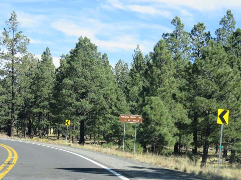
I approached the Watchable Wildlife Trail as I rounded a bend towards a clearing. What is "watchable wildlife"? Isn't all wildlife watchable or not watchable regardless of where it is?
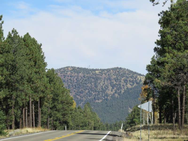
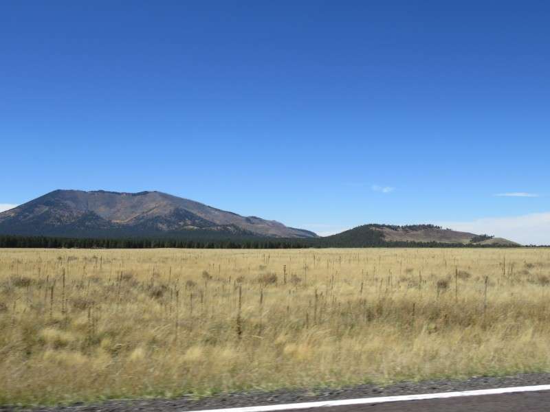
The forest broke, and I entered a ranching area called Kendrick Park. This little hill here on the right is Cabin Flat Hill.

Horsehoe Hill is nearby, and has an elevation of 8,209 feet (2,502 m). The forest fire happened in 2000, I think, and the trees haven't started growing back yet.

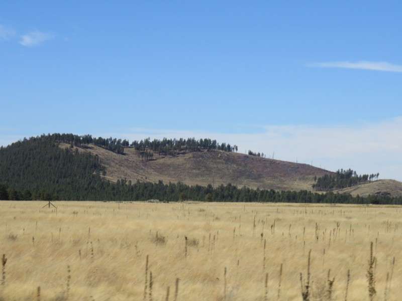
To the left of Horseshoe Hill, a little farther away, is Kendrick Peak, with a height of 10,425 feet (3,178 m) and has a topographic prominence (meaning elevation above the surrounding land) of 2,478 feet (755 m). Kendrick Peak has also been hit by forest fires, back in 2000.
There are a few ranches spread out in the clearing, so Kendrick Park doesn't have much of a population. There's supposed to be a great bed & breakfast here, called the Shooting Star Inn.
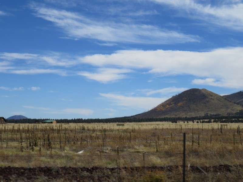
After passing through Kendrick Park, I rounded a bend and begin to descend the plateau. There are great views across the land from north of Kendrick Park!
Then I passed closer to Cabin Flat Hill, and got a view of Kendrick Peak from another angle. You can see the aftermath of the wildfire better, and can see where the fire mysteriously split and pockets of trees survived.
The wildfire started around here.

Then it was back into the forest.
I got a great view of Kendrick Peak again.
I descended the plateau even more, and looked out for dozens and dozens of miles. That tiny green sign down the road shows that I was passing below 7,000 feet.
As you go down in elevation, the vegetation changes. The ponderosa pines stopped, and these smaller, stoutier trees began popping up. I think these are piñon pines.

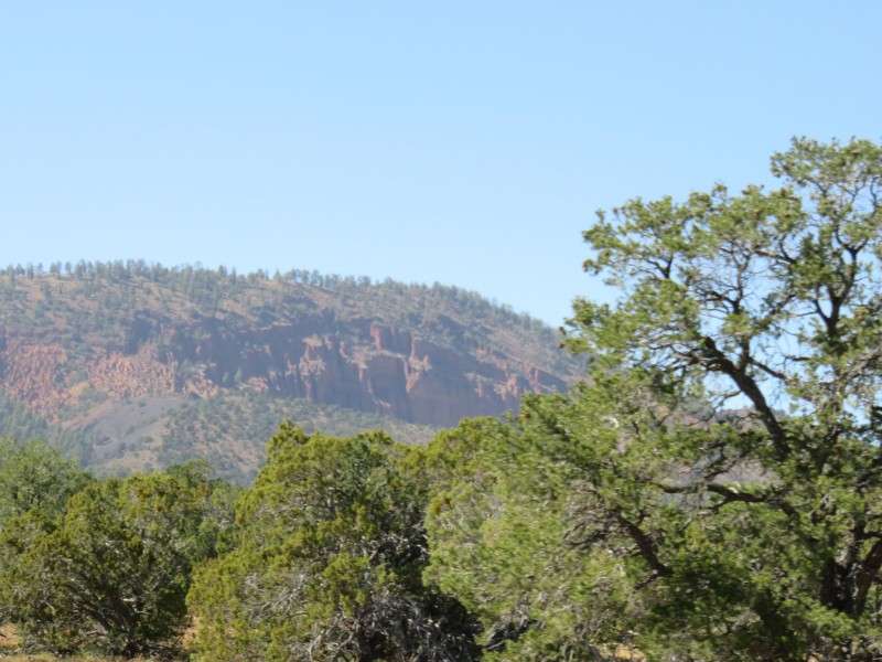
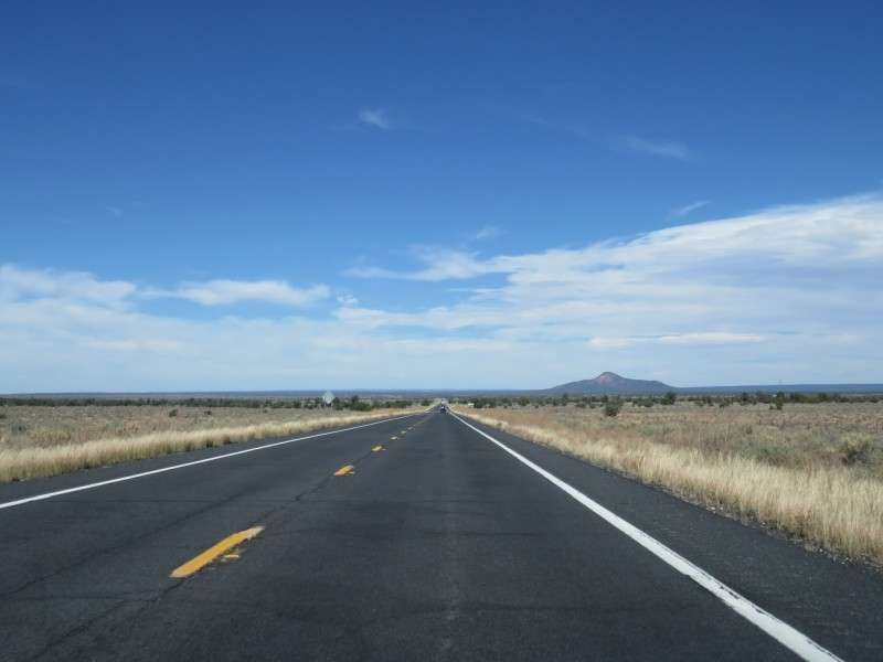
The next mountain I saw was Red Mountain, notable for its amphitheater carved out of the side, likely due to a steam eruption or a steam blast long, long ago. Red Mountain is over 1,000 feet higher than the local low ground.
As you can see from this picture, the trees are very short at this elevation. I'm guessing precipitation is much less, since the snowfall in the winter doesn't reach this low as often.
They say that you can see the Grand Canyon from US 180, so I took a couple pictures looking north to see what would turn up. This was the best picture.
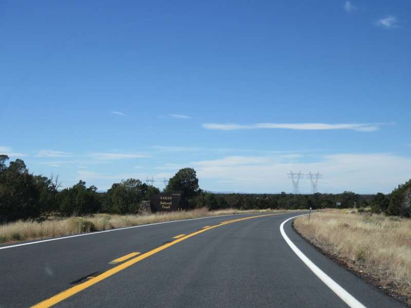
I left Coconino National Forest, and entered Kaibab National Forest.

More little trees!

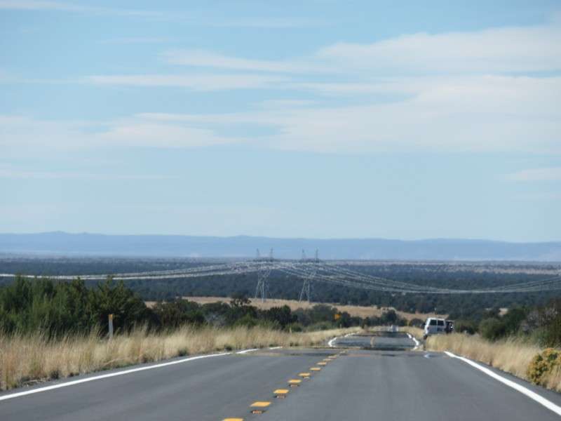
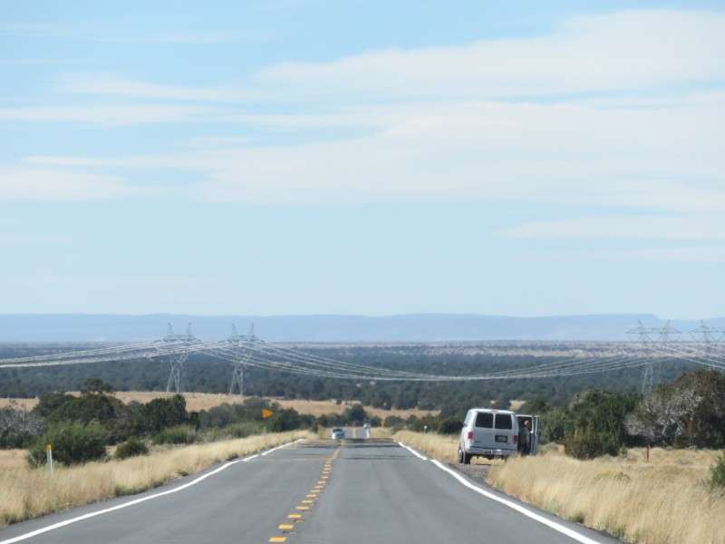
After you go over a little rise, these big power lines can be seen. They were well over 5 miles away when I first saw them. Who would ever think that power lines would be such a big landmark?
Kaibab National Forest, at least the Williams District, is very different than Coconino National Forest.

I approached the power lines.

And I left Kaibab National Forest.
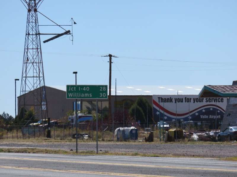
Then I was 9 miles from Valle, and 37 miles from the Grand Canyon.
I began taking this picture to show that there are turn lanes even, quite literally, in the middle of nowhere. Who would ever do that? Then this guy used it!
This was my mental note of where this guy turned.
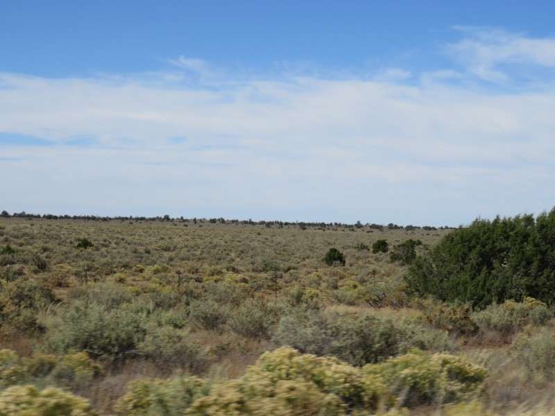
As I continued down in elevation, the short trees gave way to scrubland.


At the end of US Route 180 is the community of Valle. Valle has a population of around 800, and is most well-known as being the halfway point between Flagstaff or Williams and the Grand Canyon. There's a couple gas stations, a hotel, and a couple gift shops/trading posts, with ranches dotting the countryside. There's also a museum and an air strip, and a couple campgrounds.

At the end of US 180, I headed to the right.

This is how far I was from Williams.
Here's how much it costs to get into Grand Canyon National Park, if you are interested. The price had gone up from $25 when I was here two years ago, but money was no object for a trip like this. I was happy to pay to sustain the National Park System, and the memories would be priceless, whereas $30 is just $30.

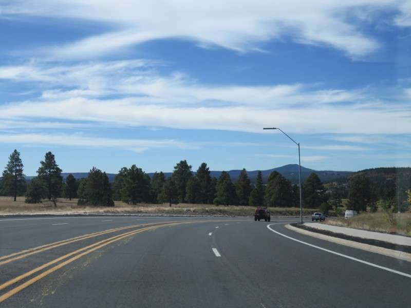
Now I was on Arizona Route 64, headed straight towards the Grand Canyon.

Red Butte, at 7,329 feet (2,234 m) and a topographic prominence of 956 feet (291 m), is off on the right.
It's all scrubland when you get to 6,000 feet in elevation, which is where Valle is at.
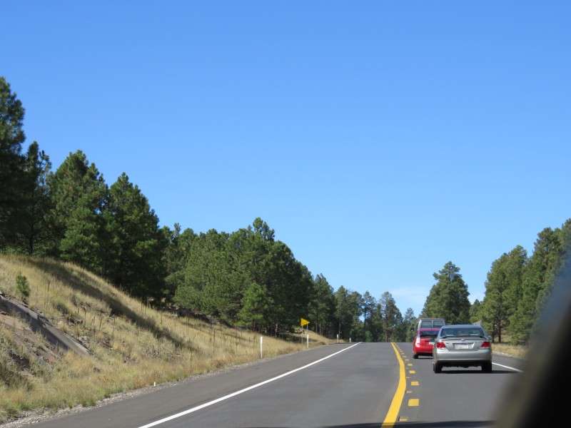
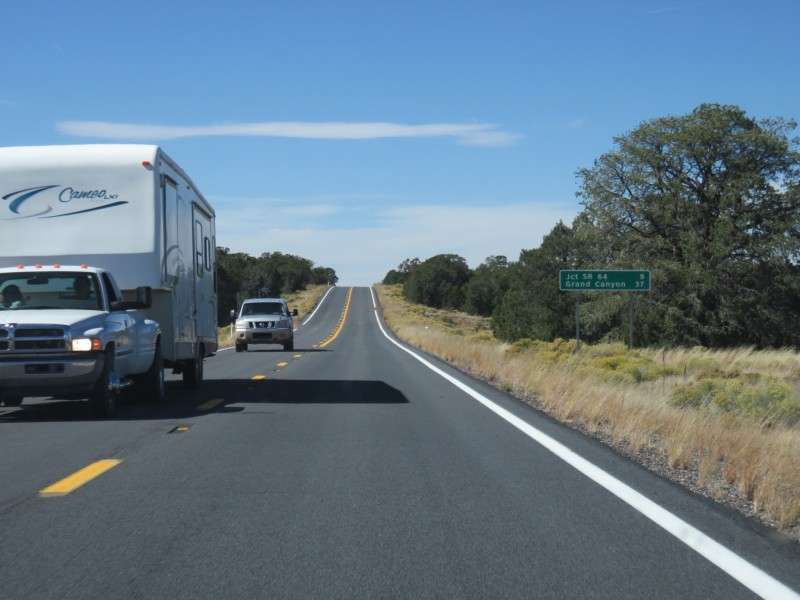
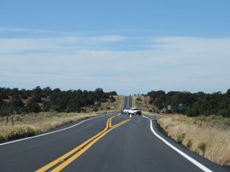
There are a couple stretches where AZ 64 is two lanes in one or both directions. After blazing past a couple slowpokes taking away valuable canyon time, I got a quick picture of the lanes and the view.
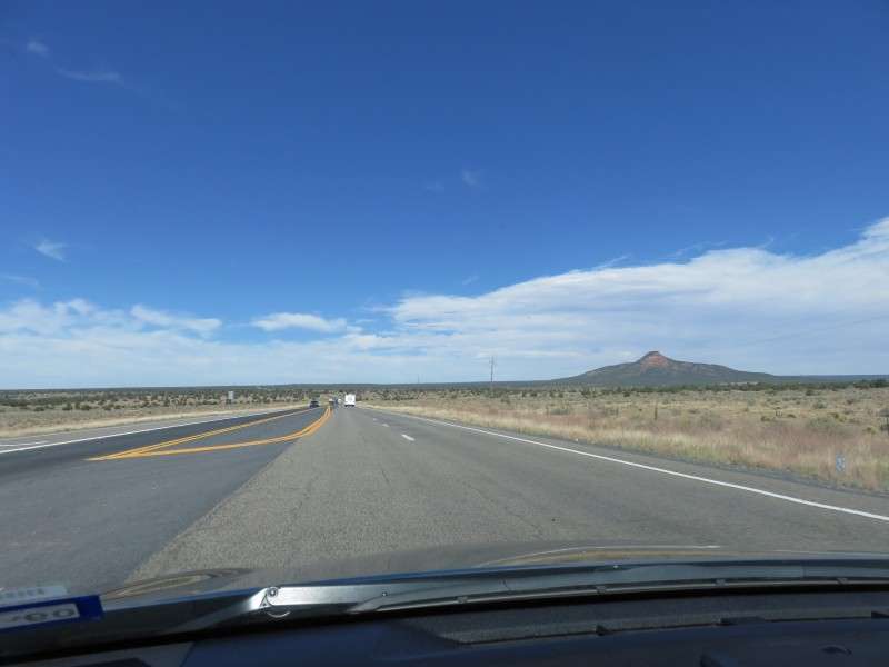
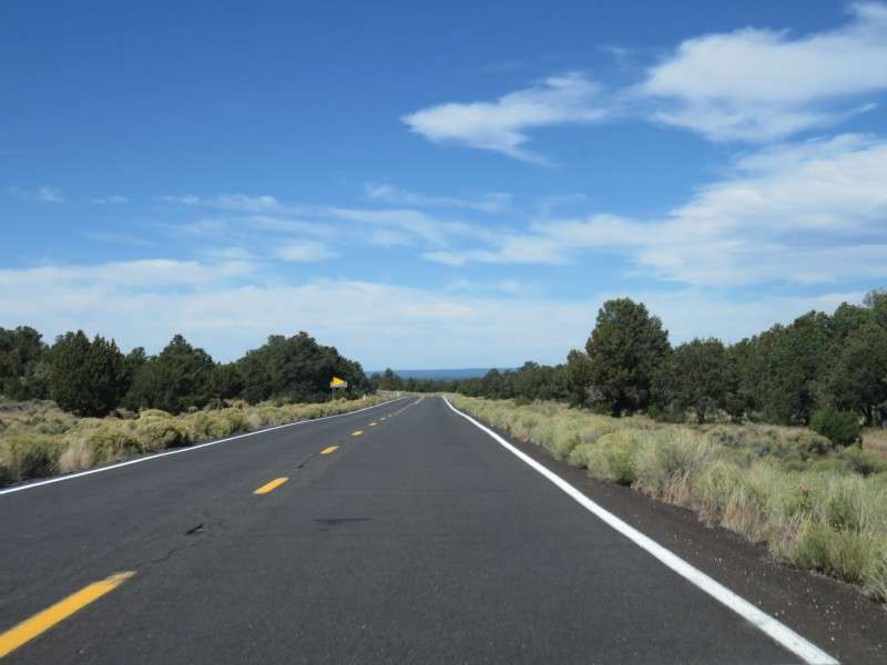
As I slowly went up in elevation again, the trees began coming back. You can see the pines in the distance.
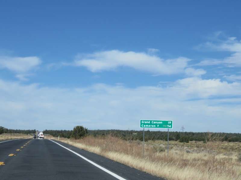
Less than 20 miles from the Grand Canyon! These miles feel like an eternity some times, even though I've gone back and forth just a few times in my life.
Now I entered the forest again. The ponderosa pines were all around.

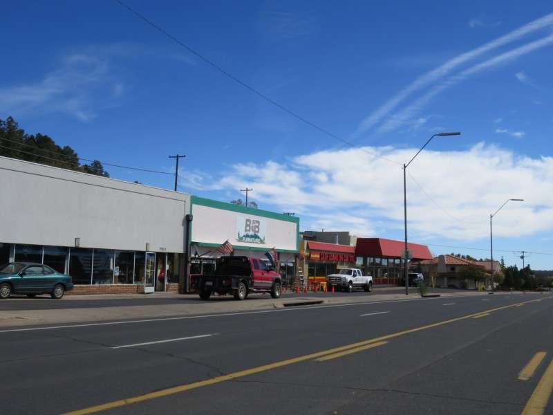
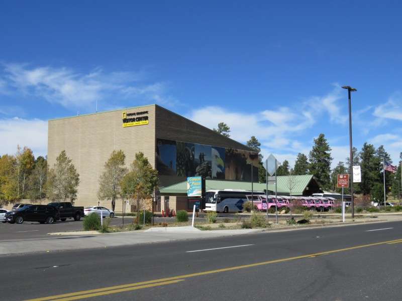
I entered the community of Tusayan. Tusayan was developed as a gateway into Grand Canyon National Park, but shouldn't be confused with Grand Canyon Village. Tusayan is the equivalent of Pigeon Forge, Tennessee, although there aren't as many tacky places since the place is so isolated. Here in Tusayan, you'll find the closest collection of hotels to the canyon, and other amenities like a couple museums, a small airport, and some fast food joints. By the way, when I was here two years ago, the Dollar Menu at McDonald's was the $2 menu! Everything is expensive here because you're almost 50 miles from the nearest town!

Finally, I was at the entrance to Grand Canyon National Park!


 Linear Mode
