I took an epic road trip to New Mexico and Arizona in October. The crux of the trip was a Philadelphia Flyers game in Phoenix; I like to try and get in an away game for all four Philly teams every year, although doing hockey and basketball is tough (and it's been tough for football in the past few years, too). After seeing a Hotels.com commercial where they said that 44%, or some number like that, of people don't go somewhere new when they travel, I decided to get in some new places, on top of visiting Phoenix. The Grand Canyon was on my list as well, as I wanted to cross hiking down into the canyon off my bucket list. The National Park Service says almost all of the 5 million visitors to the canyon stay on the rim.
With that in mind, I looked at flying into Las Vegas, Tucson, and Albuquerque, and renting a car and driving around. Albuquerque won out mainly because of airfare. But it was an easy sell, because I planned on visiting Albuquerque, Santa Fe, an Indian pueblo, the Navajo Nation in northeast Arizona, Winslow and Holbrook, and then Flagstaff and the Grand Canyon again.
By the way, I went to Arizona and Nevada two years ago for a Philadelphia Eagles road trip. You can see that thread here:
http://forum.skyscraperpage.com/showthread.php?t=215176
I took so many pictures, that my trip will be divided into several parts. This is the breakdown, for now:
Part 1: Flying to Albuquerque, and driving to Santa Fe (Thursday)
Part 2: Santa Fe, and driving back to Albuquerque, and then to Flagstaff (Thursday)
Part 3: Flagstaff and the drive to the Grand Canyon. I'll probably include a little bit of the Grand Canyon. (Friday)
Part 4: The first day at the Grand Canyon (Friday)
Part 5: The second day of the Grand Canyon, and the drive to Williams (Saturday)
Part 6: Williams, the drive to Phoenix, and the game in Glendale (Saturday)
Part 7: Hanging around in the Valley of the Sun, and the drive to Flagstaff (Sunday)
Part 8: Flagstaff to Holbrook, and everything in between (Monday)
Part 9: Holbrook to Albuquerque (Monday)
Part 10: Flying back home to Delaware via BWI (Tuesday)
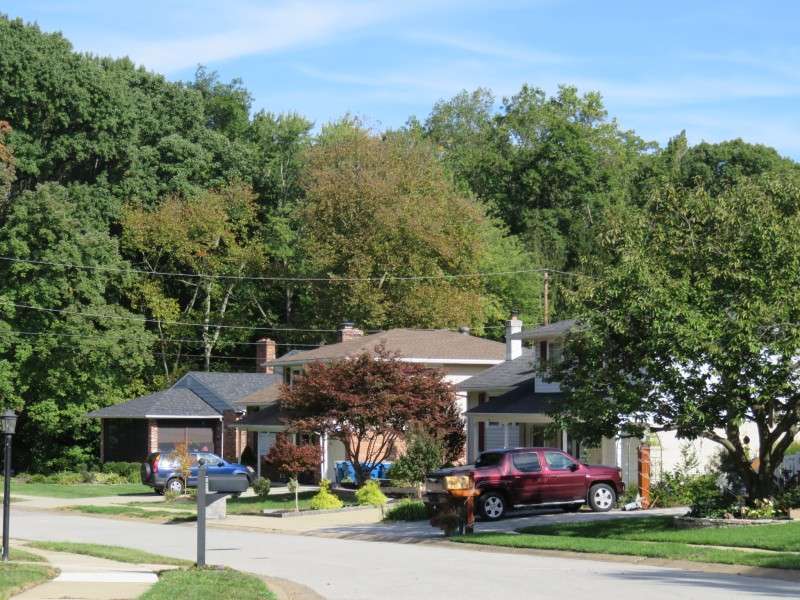
We begin with a slice of life in suburban Wilmington, Delaware. This is what it looks like in mid-October here. This is also typical housing near Kirkwood Highway/Capitol Trail (DE Route 2) between Wilmington and Newark.
I flew out of Baltimore-Washington International Airport. Living in northern Delaware, we have access to many airports. I've flown out of Philadelphia, Baltimore, Harrisburg, Dulles, and Newark before. Also within a few hours are JFK, LaGuardia, Atlantic City, Lehigh Valley, and Reagan.
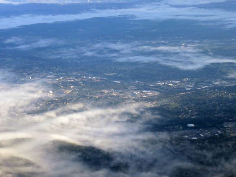
The first place we went over was rural Howard County, Maryland.
Then we flew over Germantown, Maryland.
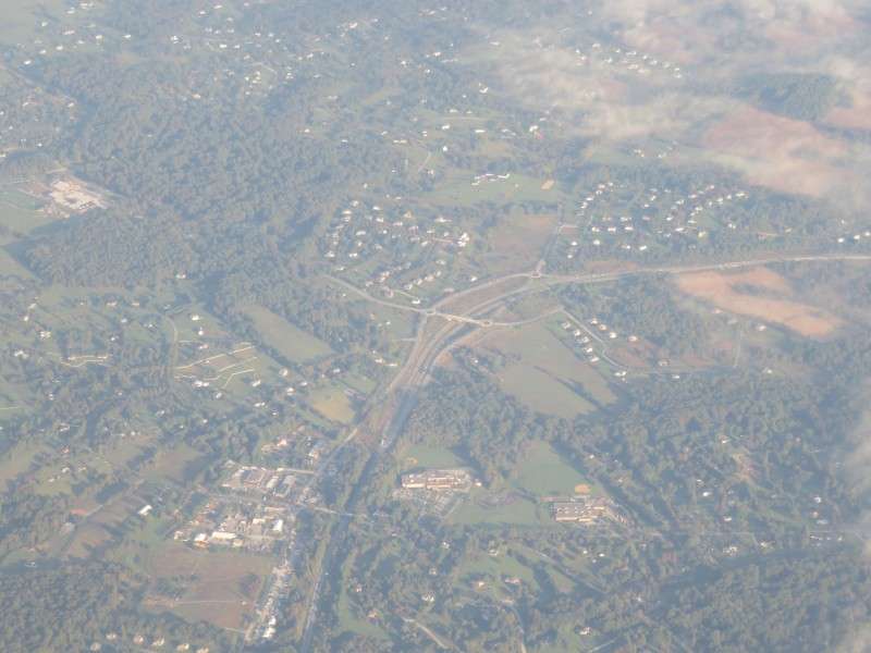
This intersection, VA 7 and VA 659, appears to be converted from at-grade to overpass.
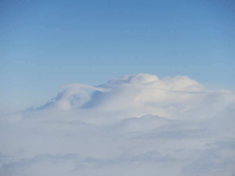
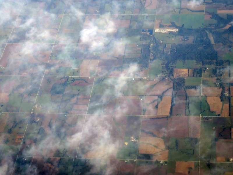
Then it got cloudy. I saw a couple interesting clouds.
I tried to take a nap, and woke up over Illinois. I think I fell asleep, but it was tough because there was a kid crying the entire. way. from. Baltimore. to. Albuquerque. for. four. hours.
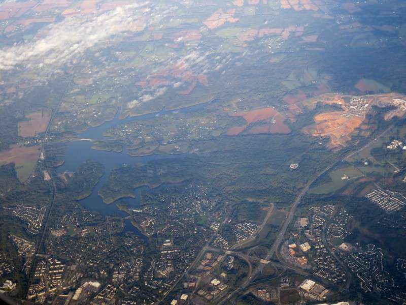
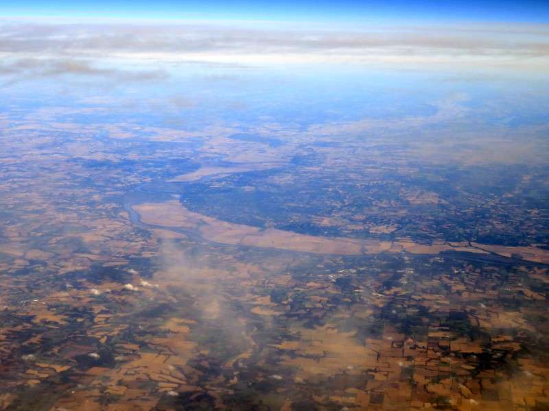
You could see the big flood plain of the Missouri River as we went past at Boonville, west of Columbia.
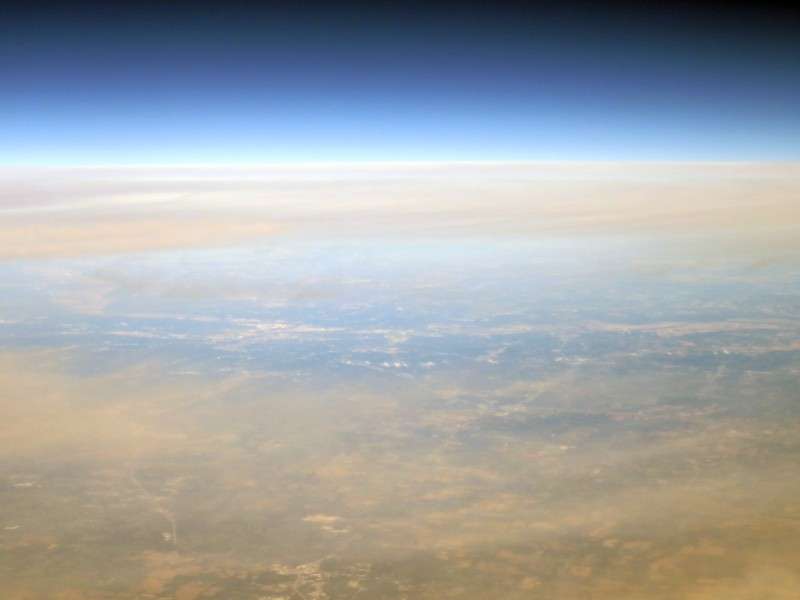
This turned out blurry, I guess, but it's interesting to see the blue sky get dark as you look closer into space.
The first town we flew over that I could actually see was Sedalia, Missouri.
Next was the much smaller town of Windsor.
We flew over Missouri Route 7, which is limited access in some spots.
The Missouri River valley was way off in the distance.
I could see it way in the distance, almost obscured by the clouds and haze. I had to zoom in 30x or so, and I had to enhance this picture a lot, but now you can see it. Kansas City!
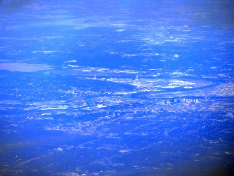
I took several pictures of Kansas City.
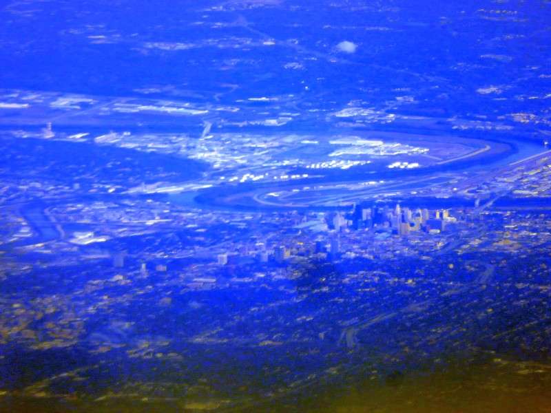
Unfortunately, at 75 miles away or more, it was tough to get anything too clear.
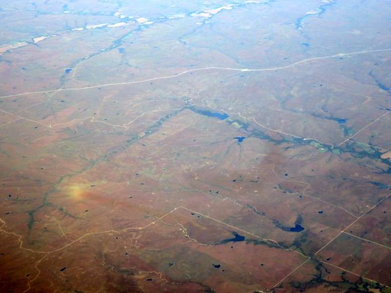
Next we went over La Cygne, Kansas.
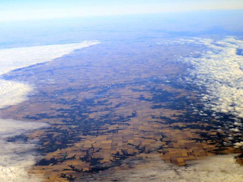
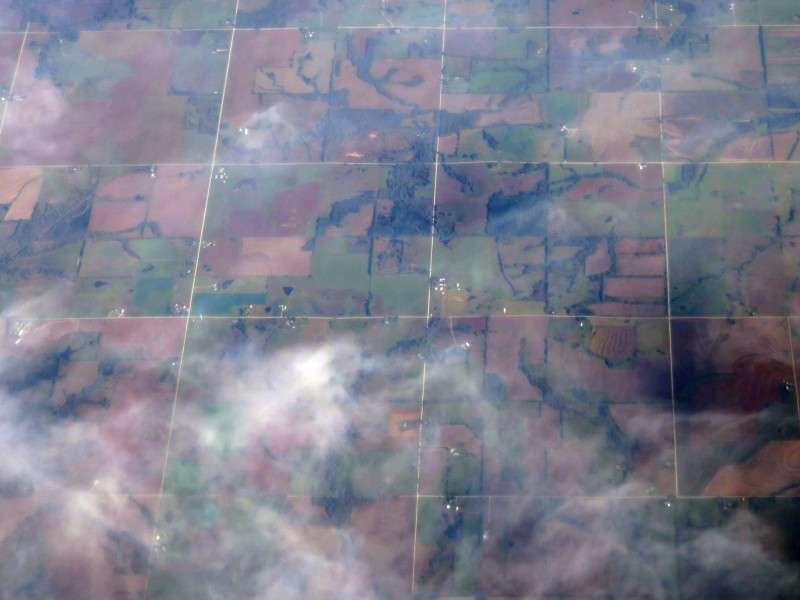
Once we were over Kansas, the square miles of the Public Land Survey System, mainly delineated by roads, were obvious.
We don't have military-surveyed plots like this in Delaware!
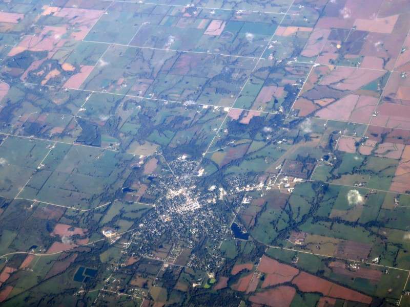
This is Garnett, Kansas.
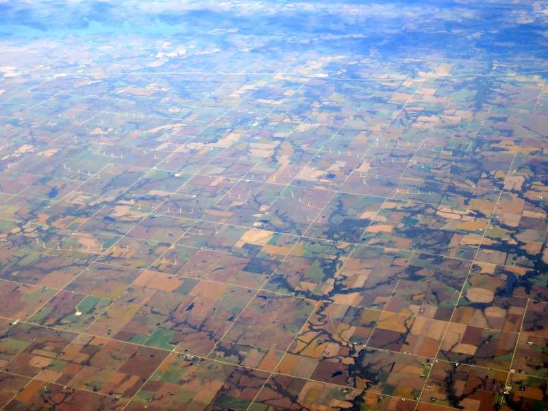
Windmills!
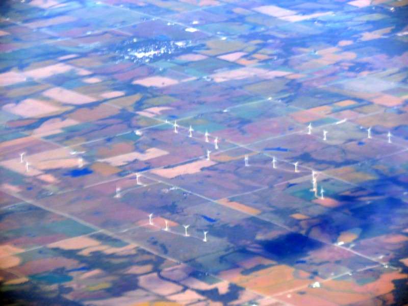
Lots and lots of windmills.
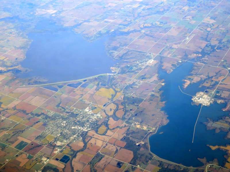
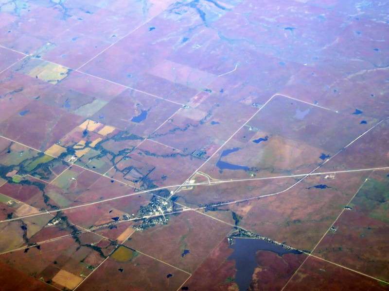
Burlington is located between two reservoirs.
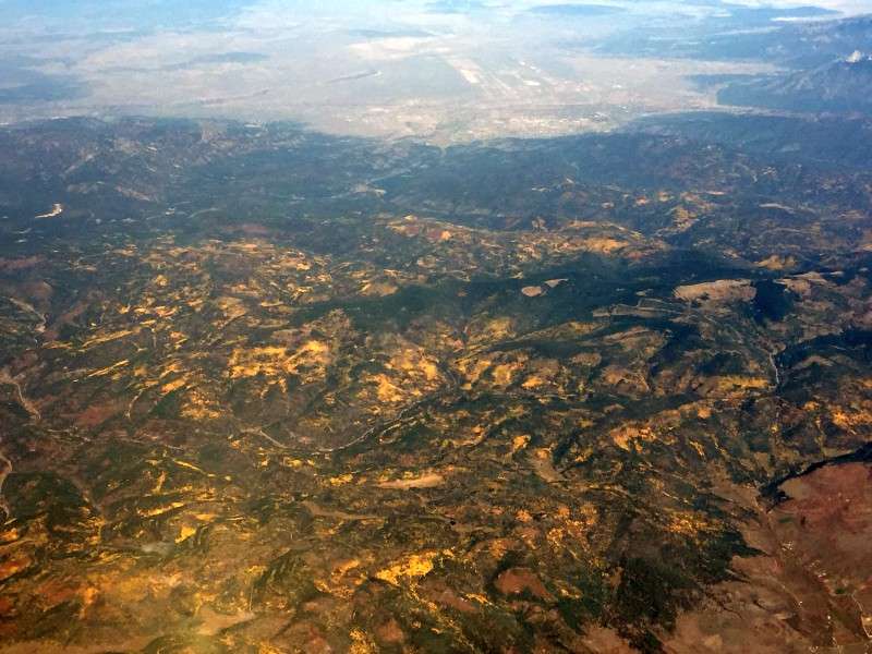
West of Madison, Kansas (way down on the bottom right), the East becomes the West. You could see a change in the ecosystem.
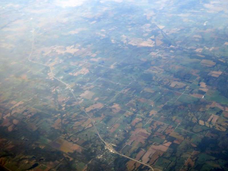
The land looked pretty arid as we approached I-35.
This was the very tiny town of Cassoday, on I-35.
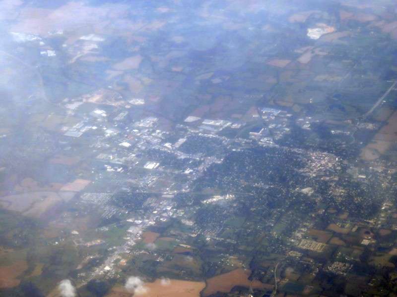
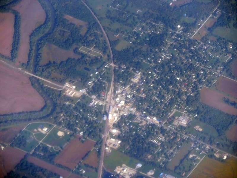
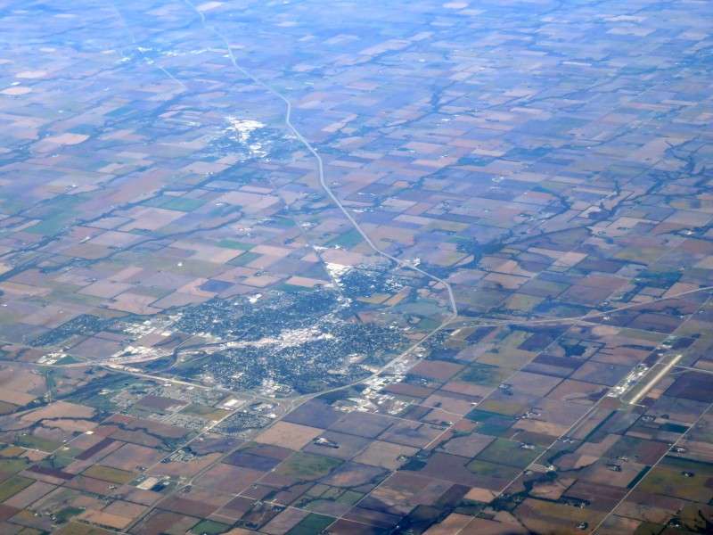
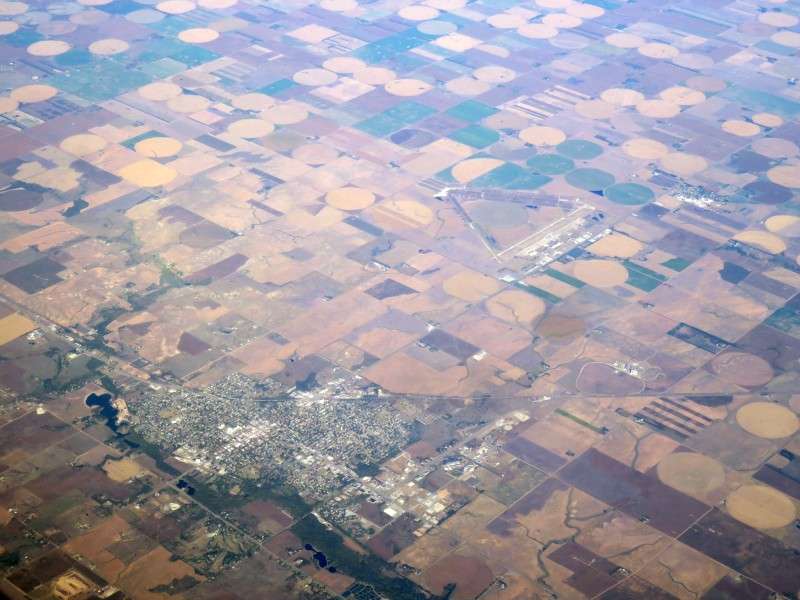
Then we flew over Newton, Kansas. Remember this place later on if you plan on looking at all 10 parts that I have planned.
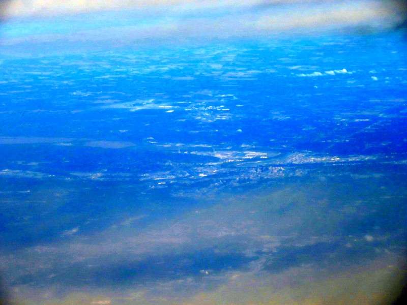
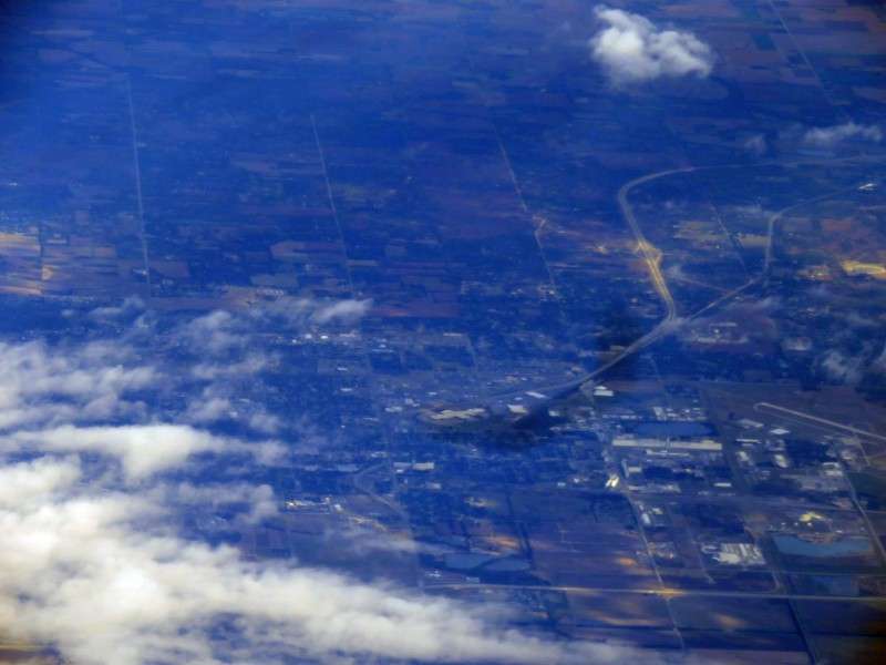
Then we flew over Hutchinson, and I got a blurry picture through a patch of clouds. Is it just me, or does every place look bigger and more important from the air?
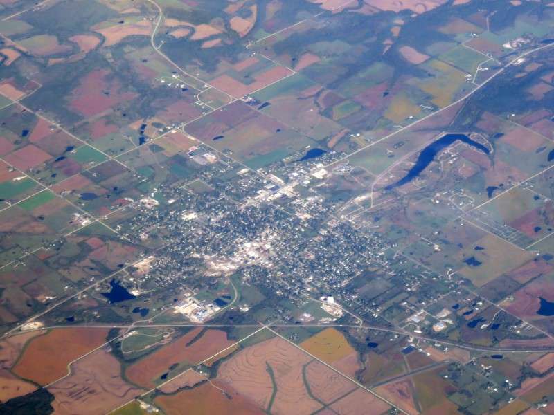
Pratt, Kansas, has an odd triangular airport north of it.
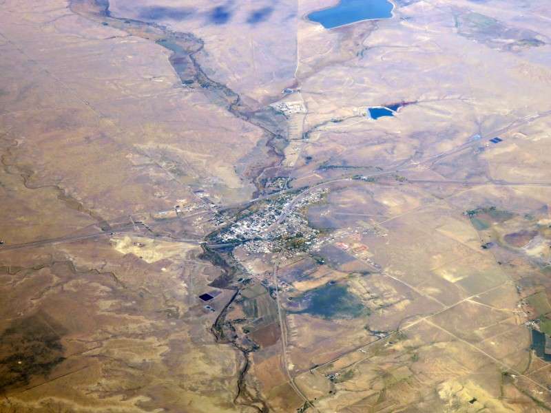
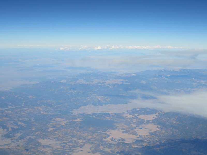
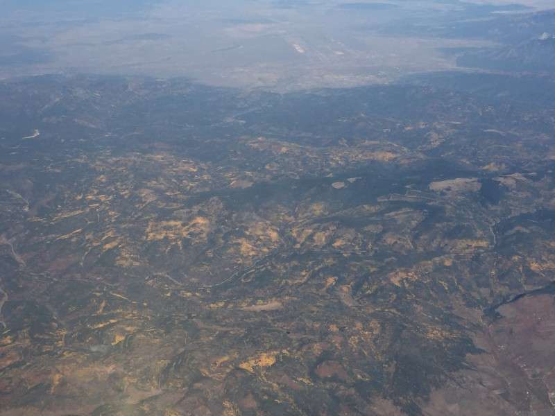
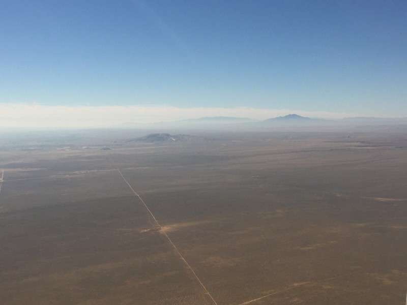
The land was pretty desolate over the Oklahoma panhandle. The next town I thought was worth taking a picture of, since my camera battery was running low, was Springer, New Mexico.
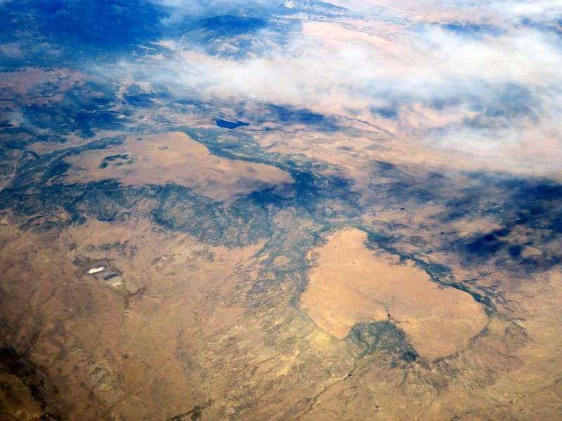
We flew over Rayados Mesa, on the left, and Gonzalitos Mesa, on the right.
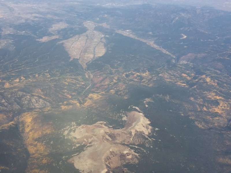
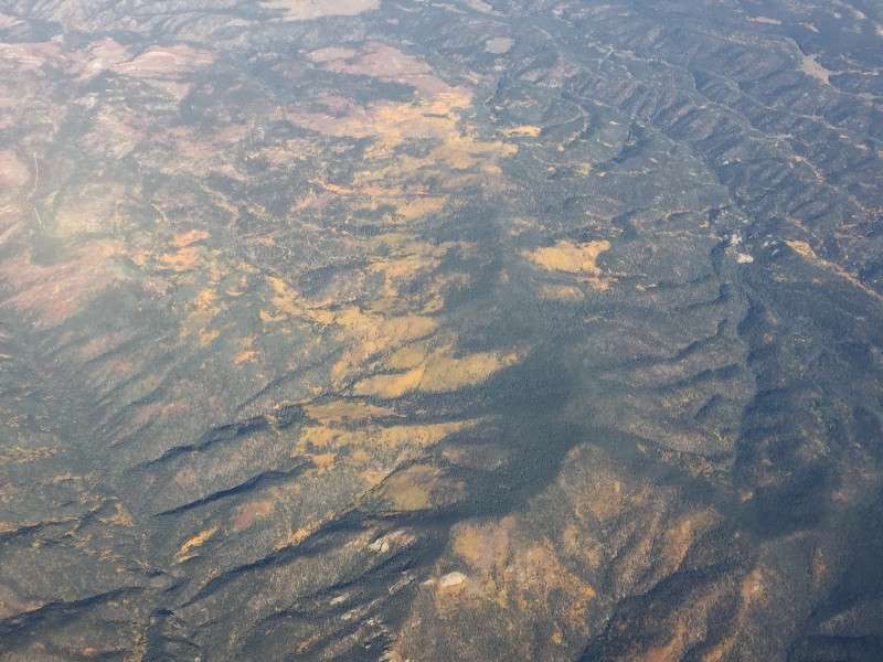
I got a bunch of pictures of the Sangre de Cristo Mountains. This was the last picture I had to enhance. You can see the yellow of the aspens, or whatever trees they are, on the mountainsides.
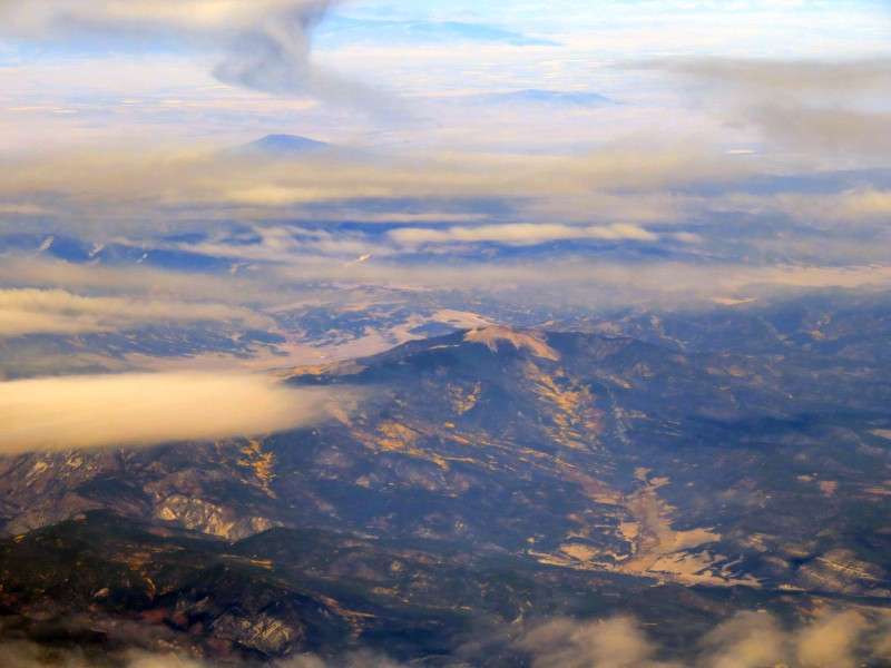
Natural color!
I wanted to take so many pictures of the mountains, since we don't have any in Delaware, but I couldn't use the juice in my battery by zooming in and zooming out.
My battery was on its last legs, so I had to switch to my phone for pictures until I could get a fully-charged battery from my bag after I landed.
I kept taking pictures of the scenery with my phone.
Eventually, the haze and moisture in the atmosphere was low enough that I could stop enhancing phone pictures before uploading them.
Now you see the above picture in natural color!
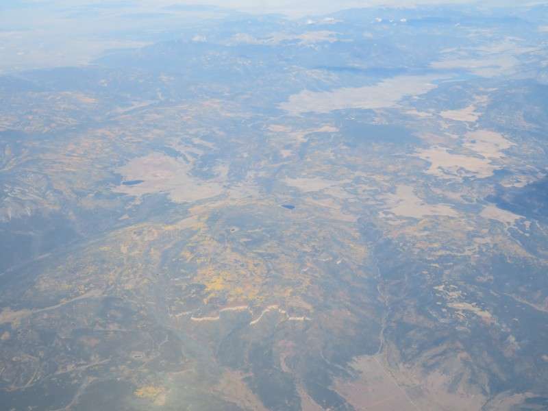
There was plenty of time to get pictures of the Sangre de Cristo Mountains.
We flew over North Truchas Peak.
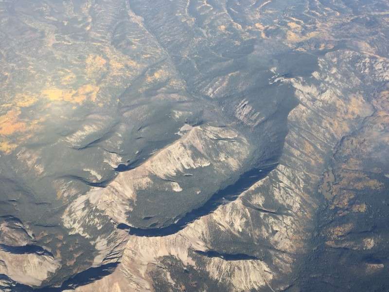
Once last picture of the mountains before we turn and head south to Albuquerque.
Española, on the left, and Chimayo, on the right. Española is one of five municipalities in the US that are authorized to use the tilde, or the squiggly line over the "n". The other four are Peñasco, NM, Cañones, NM, Cañon City, CO, and La Cañada Flintridge, CA.
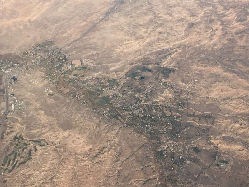
Nambe, New Mexico, which is a pueblo village. I could quickly determine what settlements were pueblos, based on the distinctively irregular village layouts. The ones along the Rio Grande were most distinctive.
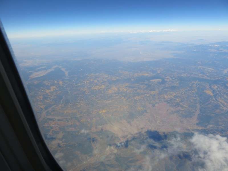
I got a picture of the Rio Grande Valley in northern New Mexico, although with my phone, it was a grainy picture when you zoomed in.
We then flew over Los Alamos, New Mexico, which is famous for the Manhattan Project.
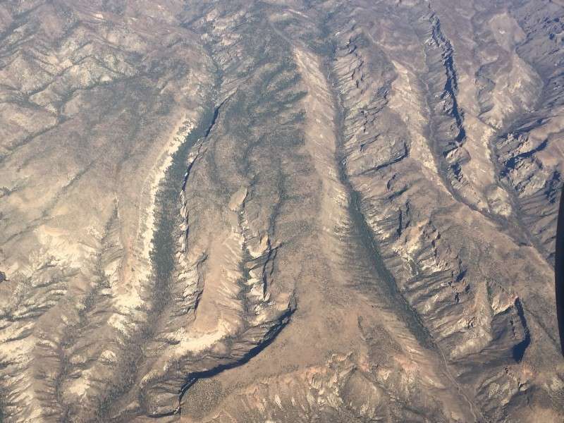
At the time, not knowing it was Los Alamos, I took notice of the mesas and canyons of the Pajarito Plateau.
This is US Route 550 southeast of Zia Pueblo.
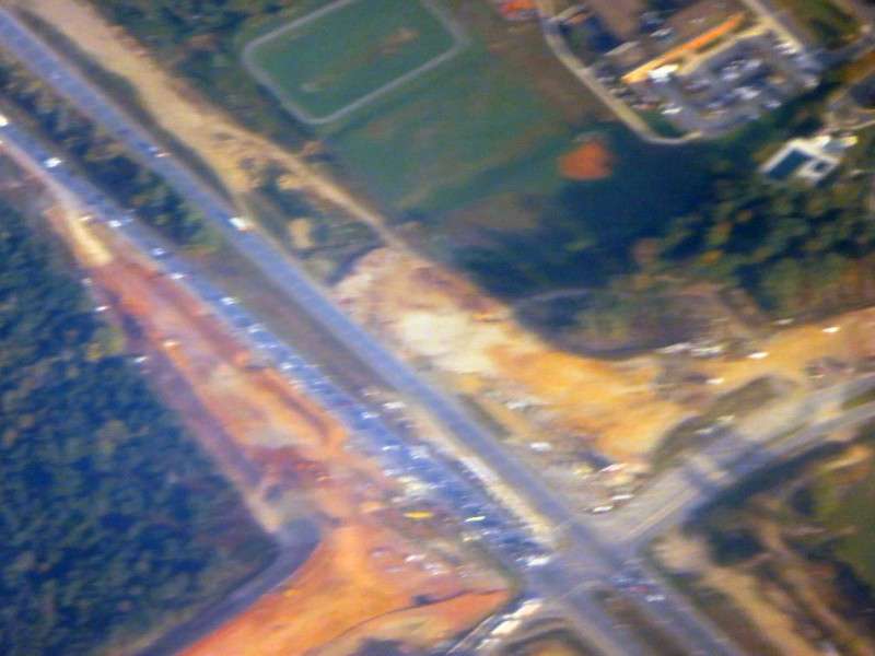
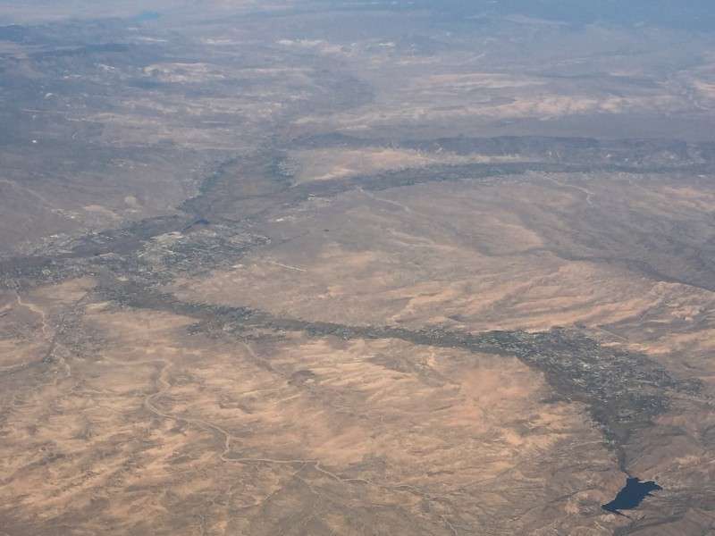
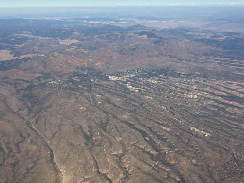
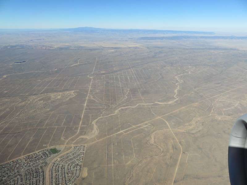
Then we came across the massive street layout for Rio Rancho. Dirt tracks mark future suburban streets in the desert.
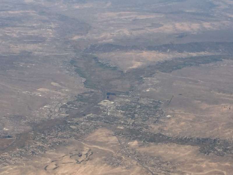
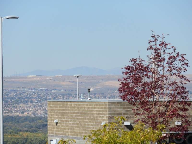
I managed to squeeze one last picture out of my battery, and took a picture of Rio Rancho as we flew over the extreme northwestern section of development, at King Meadows Park and King Boulevard. Just out of view at the bottom is the hockey arena in Rio Rancho, which used to be the home to the Albuquerque metro's hockey team.
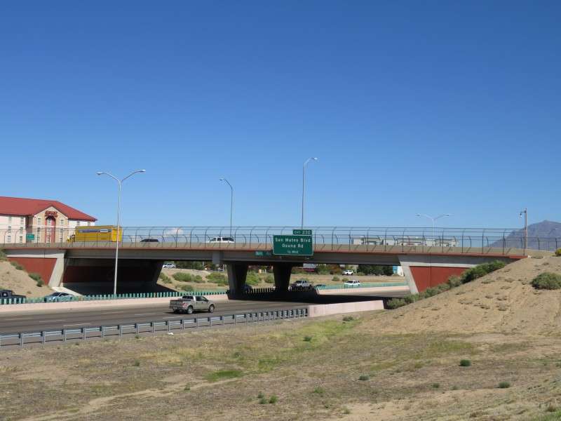
We flew over Exit 149 of I-40, where Central Avenue, the famous Route 66, meets up with I-40.
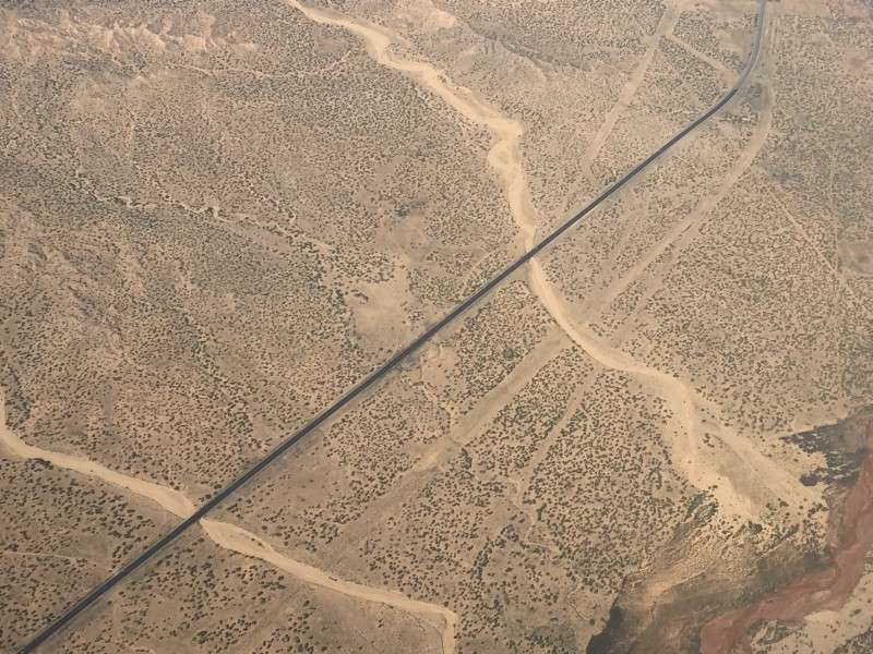
Here's something strange, and you won't see it on the East Coast: Atrisco Vista Boulevard meets up with Dennis Chavex Boulevard at more than a right angle, out in the middle of nowhere. There were stop signs at the intersection, because I could see cars slowing down. I can't imagine having to stop at a two-way intersection in the middle of nowhere, or even having an intersection and a sharp angle like that out in the middle of nowhere.
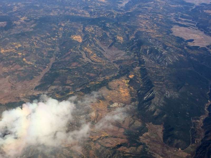
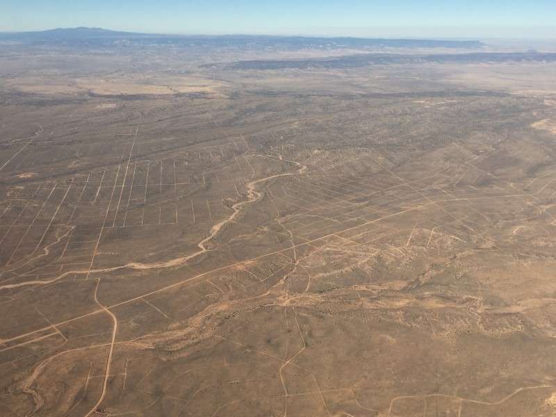
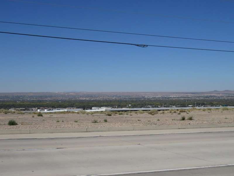
I got a picture of the vast scrubland (desert?) of New Mexico as the plane turned for the final descent.
I got a better picture of the Rio Grande, at the spot where I-25 crosses it south of the city.
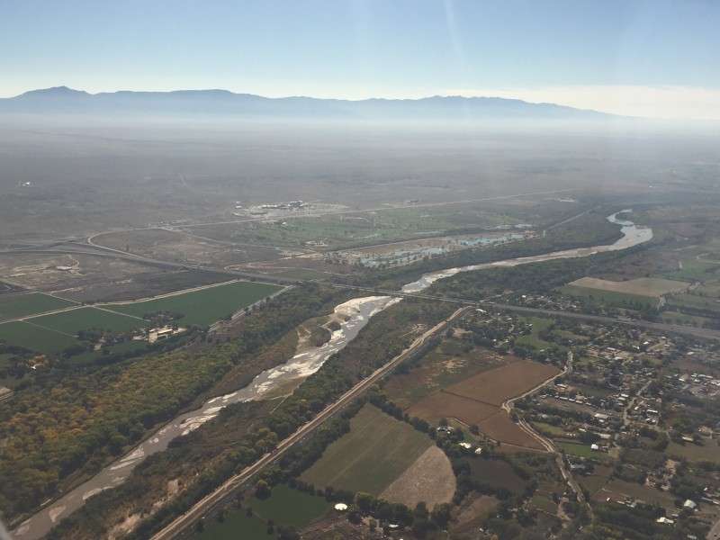
The last picture from the air is of University Boulevard as it enters into Mesa Del Sol, a future neighborhood in Albuquerque. There's a little bit built in Mesa Del Sol already, such as a research park and ampitheater, but you can't really see that stuff in this picture.
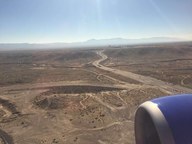
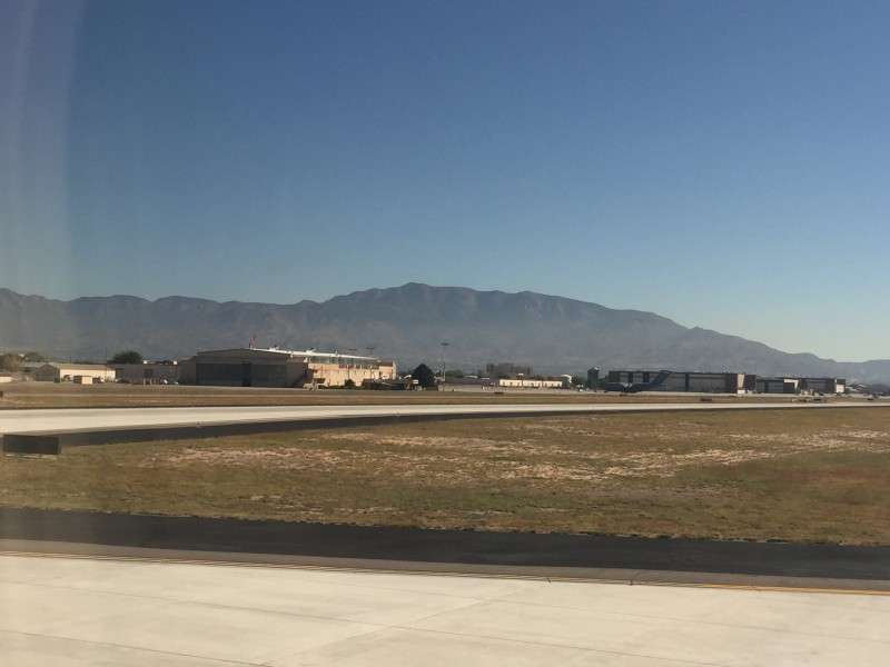
We landed on the southwest-to-northeast landing strip, I believe. Once we landed, we taxied past Kirtland Air Force Base.
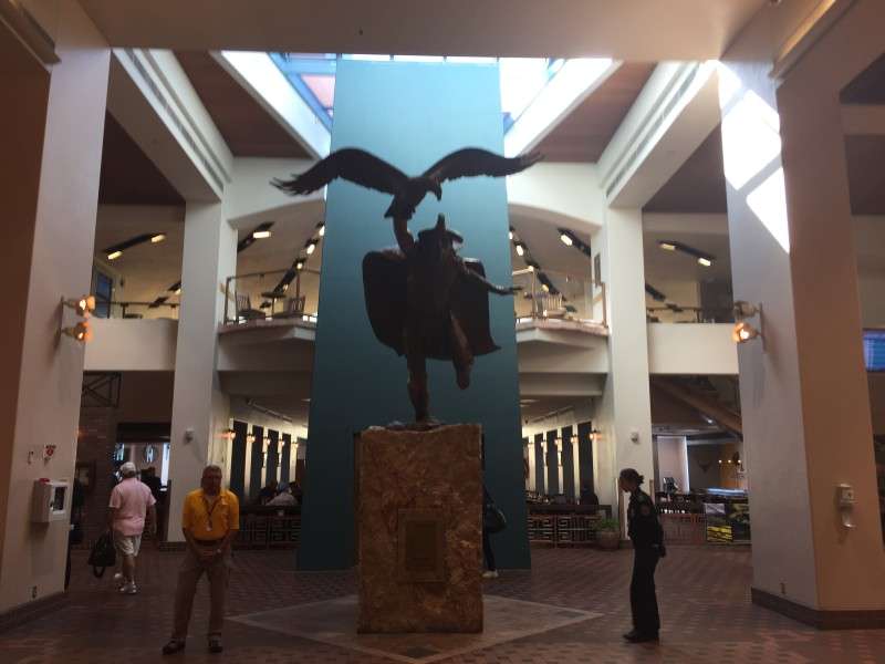
I took one last picture with my phone, of the centerpiece of Albuquerque International Sunport. On a sidenote, I like how they bucked the trend of going with "___ International Airport" and used something unique.
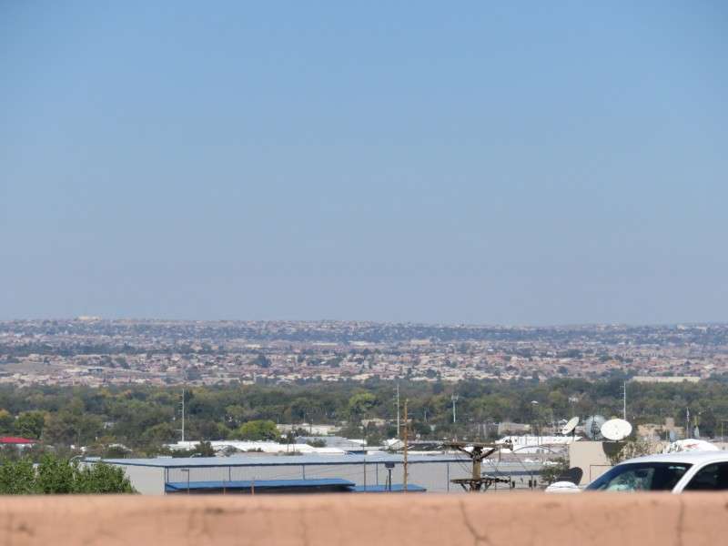
Once I got my bags from baggage claim, I could put a new battery in my camera. My first view of New Mexico was of the west side of the Rio Grande Valley from the shuttle bus from te airport to the car rental offices.
Scenes like this, where you could look across the valley, reminded me of the valley in Las Vegas from a room in one of the highrise hotels.
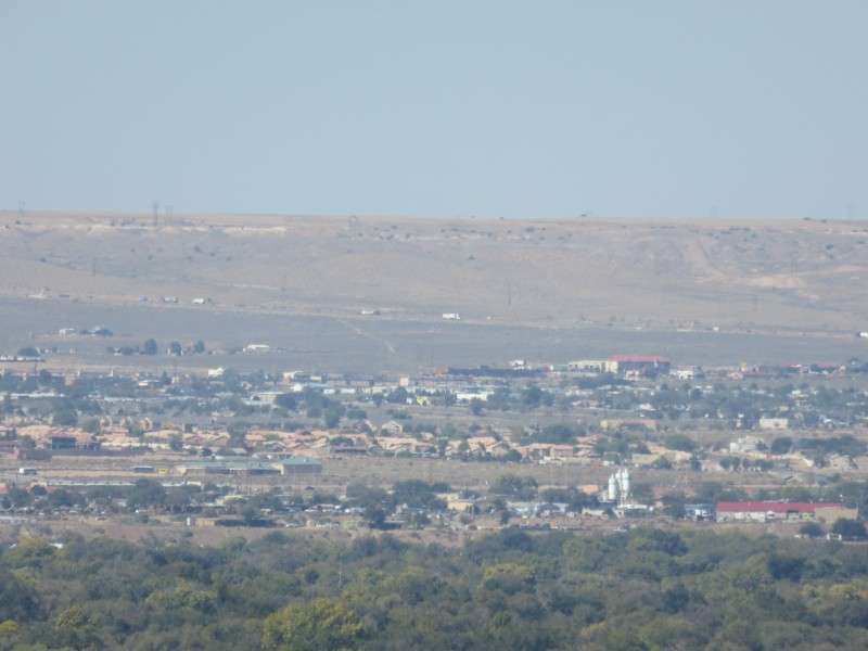
I zoomed in one a couple spots to see if there was anything interesting to see from afar. I'm not sure where this is, although it was taken from by the Sunport, so I'm guessing it's directly west of Downtown somewhere.
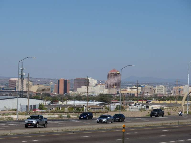
After getting my car, I headed towards Santa Fe. My plan was to only spend the afternoon in Santa Fe, and then get back to Albuquerque in the early evening to see Old Town and Nob Hill. I had to get moving. On the drive, I got a picture of Downtown.
This cemetery is located right along I-25 at Exit 222 for Gibson Boulevard.
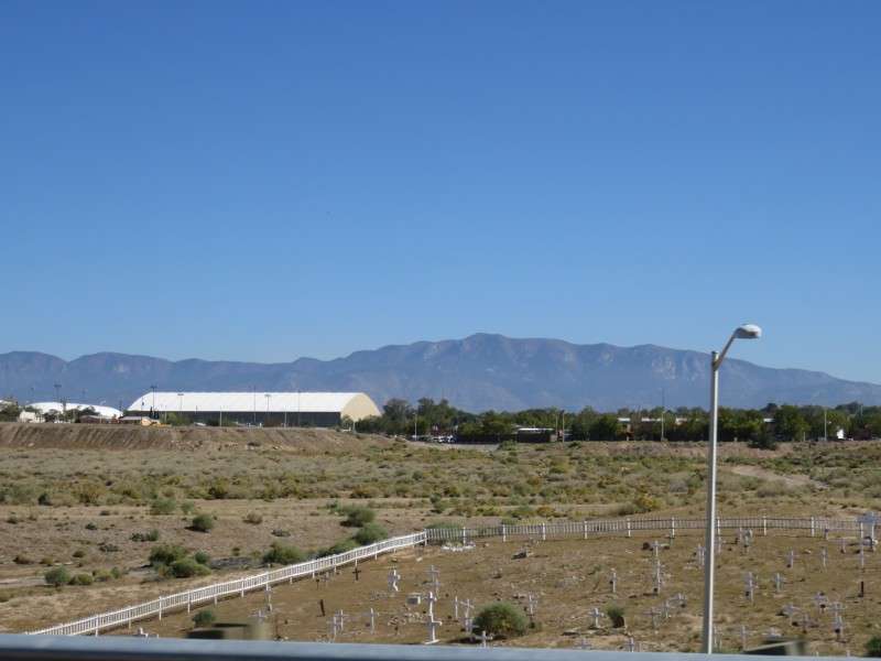
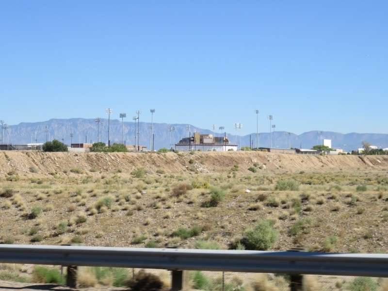
The baseball field for the University of New Mexico is just north of that cemetery.
Here's the best of a couple more pictures looking across the valley, as I had done earlier.
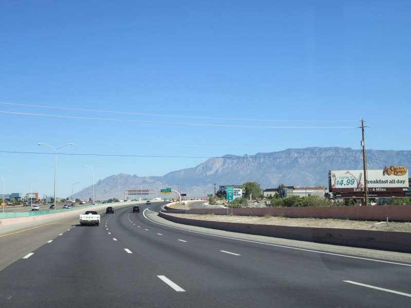
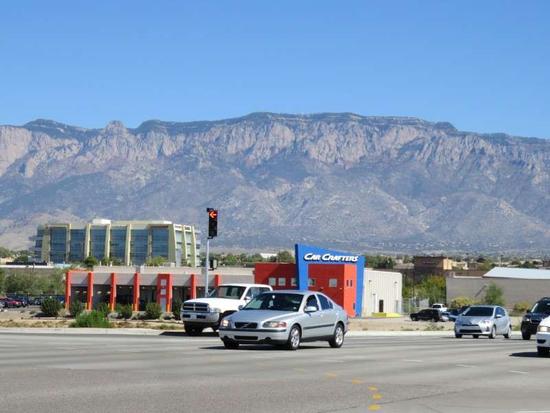
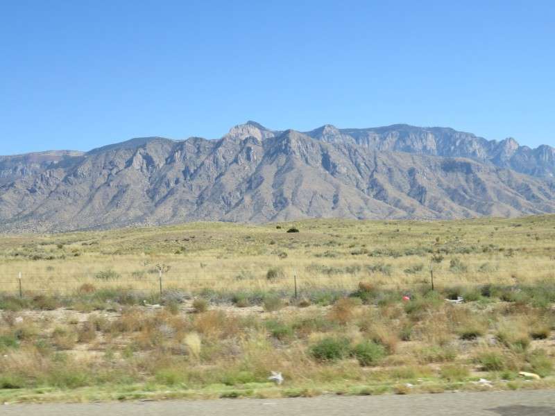
The Sandia Mountains were impressive from the ground. I don't know if I had ever gotten so close to true mountains before; I had seen some from the Strip in Las Vegas, and I had driven through some from Las Vegas to Phoenix, but I don't recall them having such a high local elevation. Perhaps the San Francisco Peaks in Arizona are just as big, and mountains like Mount Elden, right up against Flagstaff, are big, but I was driving pretty close to the Sandias.
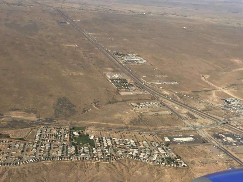
I got off at Exit 230 to get some food. I actually meant to get off at Exit 231, but got a little messed up in a new environment. Oh well, that meant I was going to see a mile more of regular suburban Albuquerque.
When I was a kid, I used to look for license plates when my family took a trip. My mom got me license plate books and everything. I still am interested in them today to an extent. I took a picture of this one because I wasn't sure what it was at the time. It turned out to be a New Mexico veterans plate.
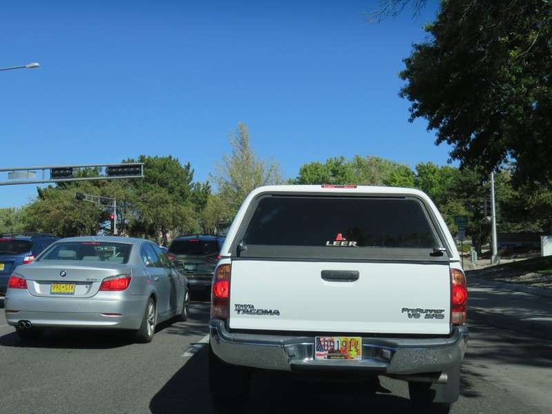
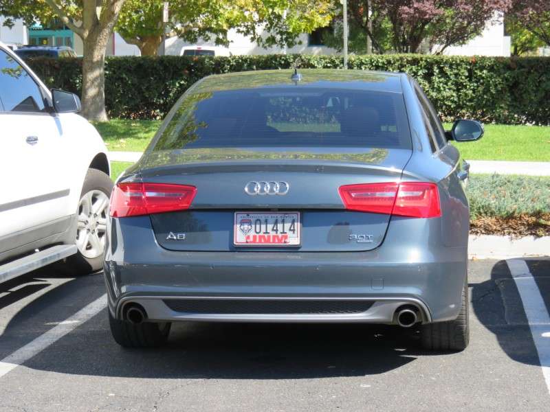
These University of New Mexico plates were wild. Can they make those letters a little bigger? I don't think anyone can read them!

As an aside, I don't like when the state is not explicitly named on the plate. This says "University of New Mexico" up top, and "UNM" on the bottom, but not just plain old "New Mexico". I first saw this here in Delaware, where they half-did this with a plate that says "University of DELAWARE" on it.
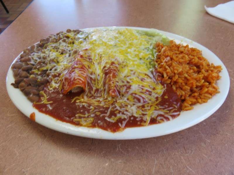
The reason I got off at that point was to try Twisters, a local New Mexico fast food chain. I ended up hitting up a bunch of Western fast food chains for the first time on this trip.
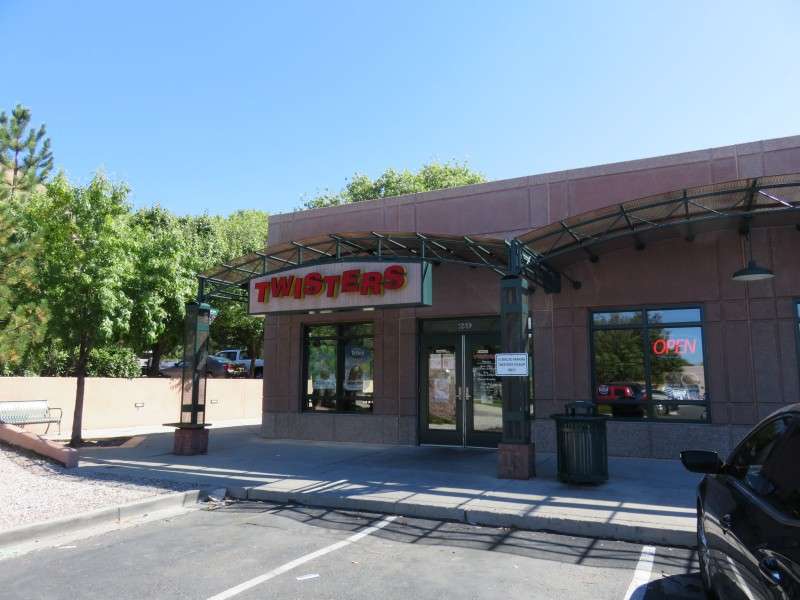
I ordered their Thursday special, which was three different types of burritos. It came out on a ceramic plate,
which reminded me of Tim Horton's in Canada.
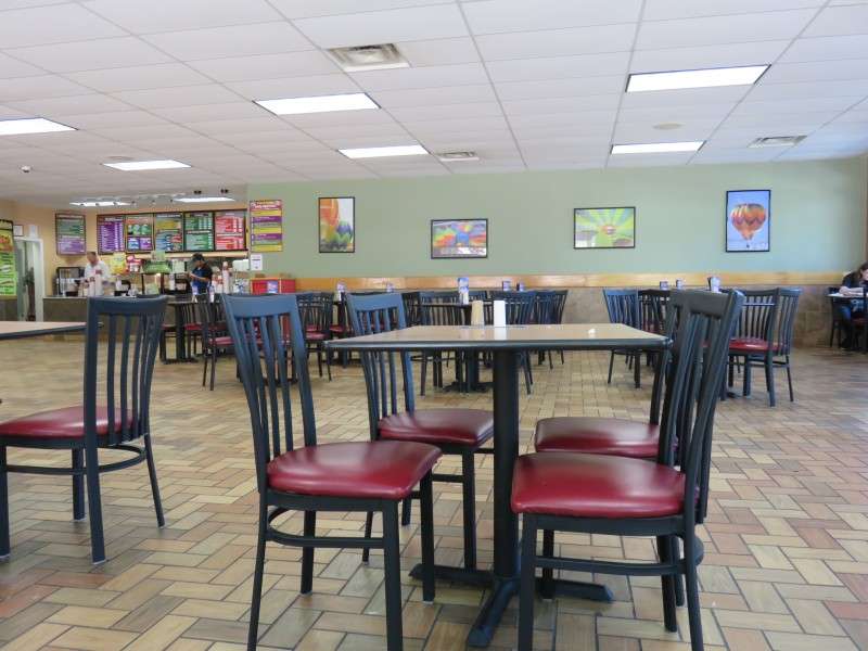
I ninja-pic'ed a picture of the interior of Twisters, because there were some people in eyesight who were eating, and I didn't want to look like a lunatic or creeper.
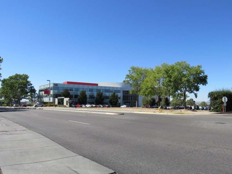
Back on the road! This is what a typical Albuquerque office park looks like.
I headed back for I-25. In addition to this onramp, painted in pastels, I managed to get a Pennsylvania license plate in the picture. The guy had a license plate holder for a dealership in Langhorne, which is near Philadelphia. I wanted to tip my Eagles hat to him, but never got next to him or in front of him.
I got a picture of the mountains again while I was stopped at a traffic light for the onramp to I-25. That building on the left looks a lot like a
semiconductor for a computer.
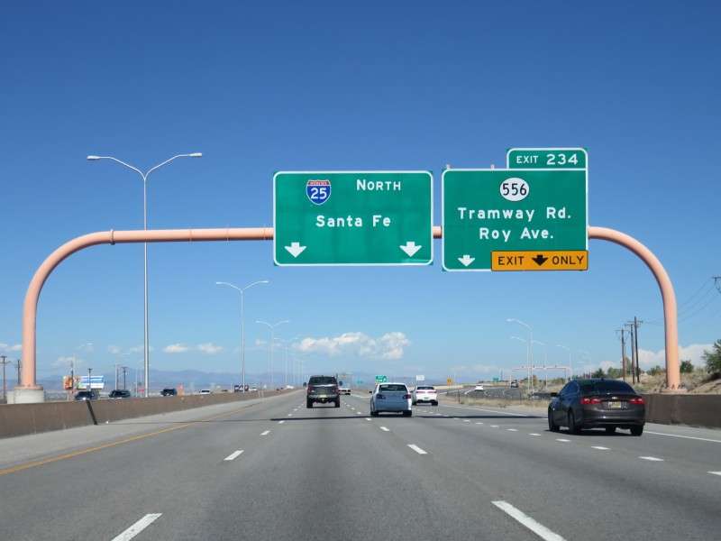
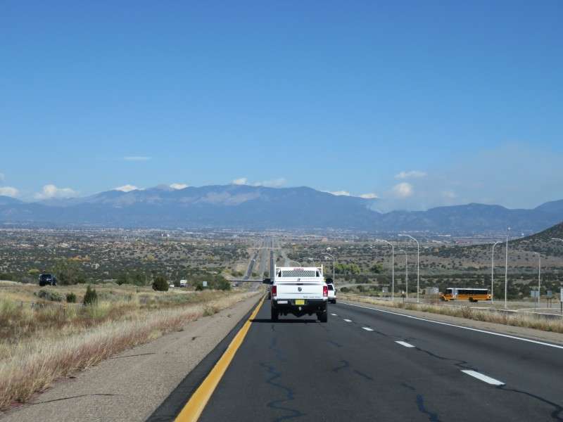
On my way to Santa Fe!
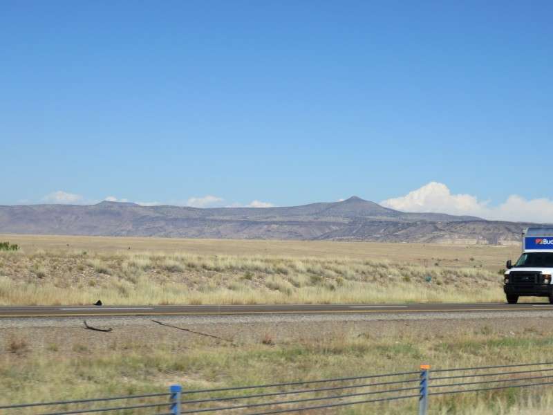
This was the first of many pictures of the mountains as I drove north. This was south of Bernalillo.
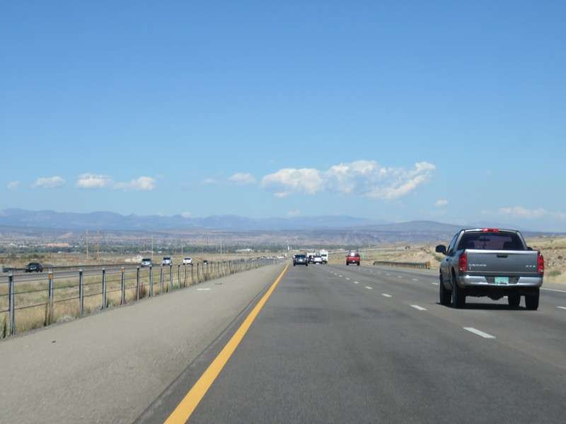
I couldn't stop taking pictures of the Sandia Mountains.
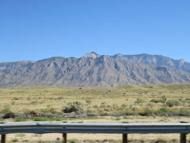
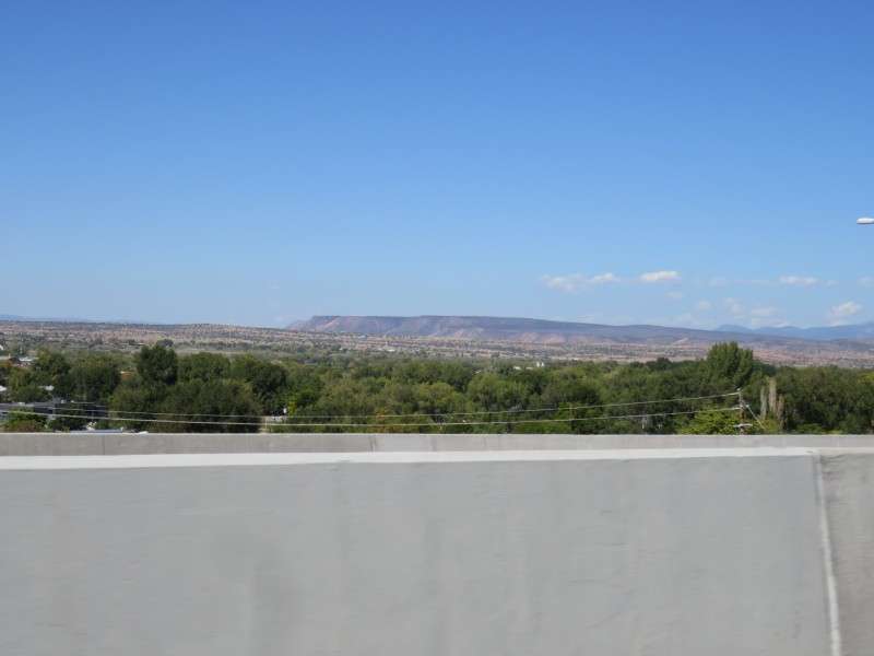
North of Bernalillo, cliffs stretched across the land. I couldn't find out anything about the cliffs/mesa.
I drove past Santa Ana Pueblo. I know this because
I was exploring it on Google Street View before my trip.
More mountains, cliffs, and mesas.
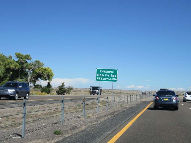
Then I entered San Felipe Pueblo. These signs
are not too far off of how they mark borders of reservations in Upstate New York.
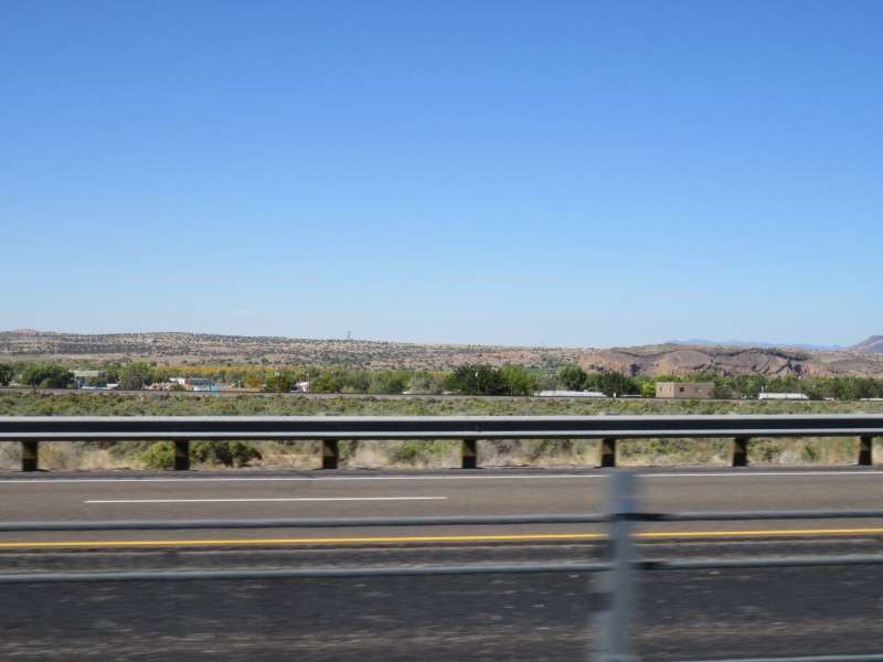
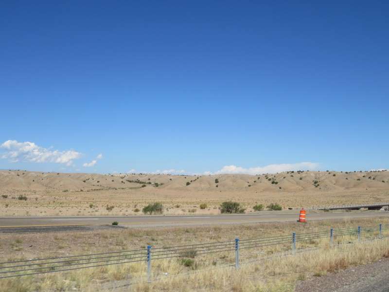
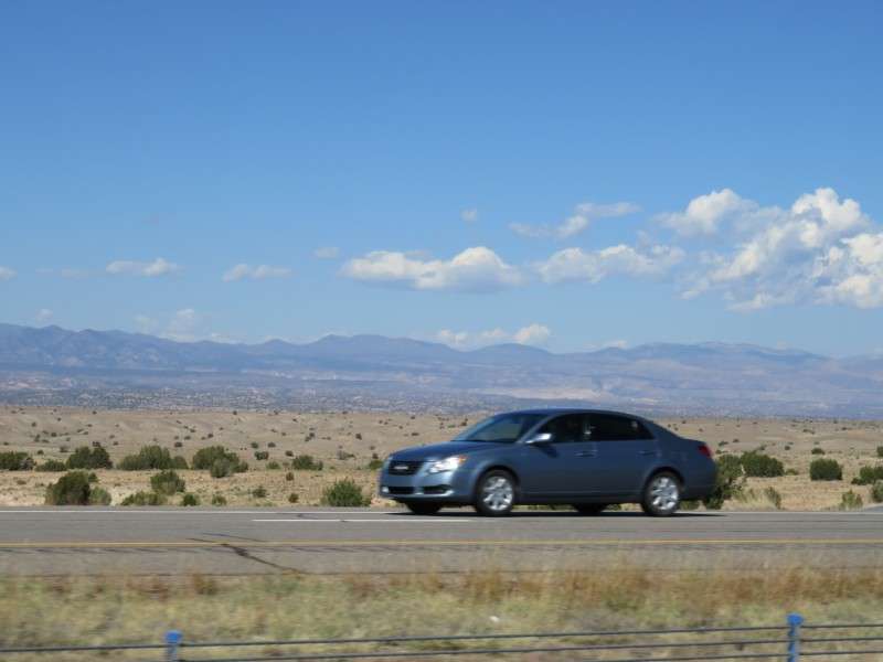
I kept taking pictures of the countryside, because who knows when I'll ever be back to see it in person again.
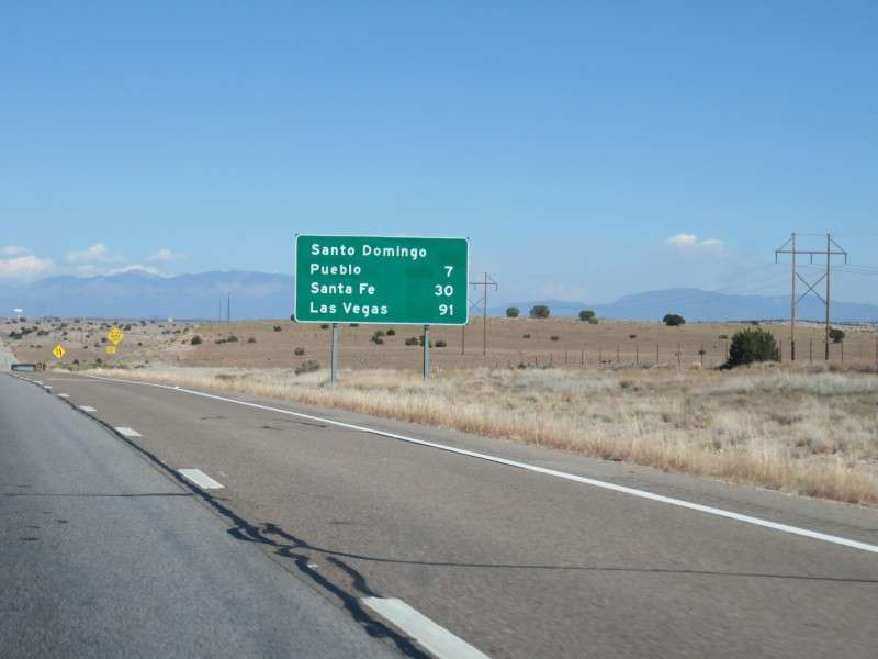
Here's a sign showing how close I was to Santa Fe. I also took the picture to remember signs for Las Vegas (the New Mexico one!).
More scenery!
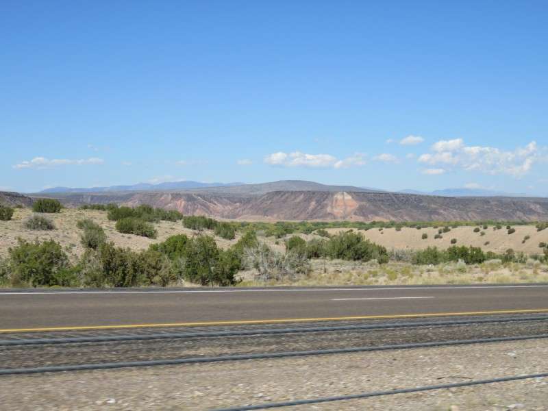
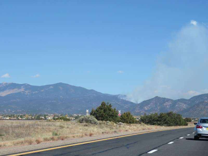
Finally, Santa Fe was in the distance. Notice the gray off on the right?
That gray was what I thought was my first forest fire.
It turns out it was a controlled burn.
That's all for now. The next pictures are from in Santa Fe, and that will be the second thread of the series.


 Linear Mode
