HomeDiagramsDatabaseMapsForum About
     

Go Back   SkyscraperPage Forum > Photography Forums > My City Photos


Reply

 
Thread Tools Display Modes
     
     
  #181  
Old Posted Apr 1, 2012, 9:09 PM
nygirl1 nygirl1 is offline
Registered User
 
Join Date: Sep 2005
Posts: 566
The best of Queens: Part 12 Jamaica

Now we're going to head east just a bit through the Borough's central hood's

Jamaica is a busy neighborhood in the center of Queens. It was first settled as the village of Rustdorp by the Dutch in the 1650’s. When the British took control of the colony later in the 17th century they changed the name to the Town of Jamaica. The village grew throughout early British rule as the county seat of Queens until it was reorganized in the late 18th century and the county seat moved to a location now in Nassau County. By the revolutionary era Jamaica was a trading post for farmers in the area. The already established King’s Highway was the main thoroughfare, today we know it as Jamaica Avenue and it is so old that it even pre-dates the Dutch. Jamaica Avenue, formerly King’s Highway used to be an Indian trail for foreign tribes to trade with the local Indians in the area. By the 1850’s the important artery required a toll and by the civil war era tracks were laid for horse-drawn trams. The tram along the Avenue exchanged horses for electricity by the turn by the late 1880’s. As New York incorporated Queens the county seat moved back. Jamaica at the turn of the 20th century, a mostly white area saw an influx in Irish Immigrant population. It remained predominantly white until the 1950’s when many of its residents fled to newly developed suburban villages east and north of the city. A black middle class replaced them and for nearly 2 decades it remained just that way. In the 1970’s Puerto Ricans and Cubans as well as Guyanese, Trinidadian and Jamaicans moved into the area. Many of these new groups settled in areas that cling to Jamaica Avenue or created their own nodes throughout all of South Jamaica making the area a unique patchwork of various West Indian cultures and it remains that way to this day. The largest groups settling Jamaica now are the Bangladeshis and Pakistani communities. The area is becoming quite popular in recent years and the rapid growth coincides with a spike in immigration, gentrification and a strikingly reduced crime rate overall. Jamaica Avenue is still a popular destination for shopping in Queens. Notoriously known for its bootleg items and a location one could acquire a nearly flawless fake I.D. it still hums with heavy pedestrian traffic. Residents of Queens come to the area not for fake Coach bags and phony identification but retailers, restaurants, and anything else from leather couches to diamond necklaces.


__________________
Brooklyn: The Motherland.
Reply With Quote
     
     
  #182  
Old Posted Apr 1, 2012, 9:13 PM
nygirl1 nygirl1 is offline
Registered User
 
Join Date: Sep 2005
Posts: 566
The best of Queens: Part 13 South Jamaica the South Side and South East Queens

Now we'll check out some of the hoods in the borough's vast south east


South Jamaica is a neighborhood in southern Queens. The area is often referred to as the south side intimating its significance in the southern part of the borough of which there are many other neighborhoods independent from South Jamaica. The neighborhood built up dense, Dutch Colonials for blocks and blocks to accommodate the growing middle and working classes but suffered the repercussions of white flight. South Jamaica is predominantly a bedroom community, today home to large Mexican, Guyanese and Haitian communities with pockets of West Africans, though the long time working class African American community dominates. South Jamaica currently does face poverty issues but this varies from family to family but the neighborhood as a whole suffers the boroughs worst gang problems.


St. Albans is a middle class neighborhood on the south east side of Queens. The land was granted to Dutch settlers by Peter Stuyvesant in the 1650’s but remained mostly farm land and dense woodland for nearly two centuries. The farming community began to sprawl around the core of the first families at the turn of the 19th century. The region for the most part was a portion of the larger village of Jamaica when it was incorporated around the 1820’s. The area was surveyed for housing following consolidation with New York. Developers built on small plots, modest homes for the working-middle classes. St. Albans hosted a golf course by the 1910’s and attracted famous players from all over. The Depression forced the course to close and after early plans fell through, the land was seized by the federal government who built a naval hospital. Many Jazz musicians lived in the area in the 20’s and 30’s. During the late 1970’s and early 1980’s, St. Albans which is close to Hollis was one of the earliest centers for the hip hop community.


Springfield Gardens is a residential area in south eastern Queens. It was settled in the 17th century and farmed by several families until the 1860’s when land was subdivided and turned into residential blocks. The area saw a boom when the Long Island Railroad made a stop in the neighborhood. The area was settled by various European groups long assimilated but most of these people left during white flight. Springfield Gardens had become dominated by African American families during the 1970’s and today they are still the largest group in the neighborhood. Springfield Gardens is also an area settled by Guyanese, Jamaican, Haitian and various other West Indian groups. The neighborhood is mostly single family homes but there are housing projects within its landscape. Springfield Gardens is still working class, however economically it has shifted toward lower-income working class. Like other neighborhoods in south eastern Queens, Springfield Gardens has a problem with gangs.


Laurelton is a working-middle class neighborhood in south eastern Queens. Laurelton was mostly undeveloped until the late years of the 19th century. In 1907 it was established and quickly attracted a middle class population. Laurelton was planned to resemble an English style village and Tudor style homes were very popular. In the 1930’s the area took on a large Jewish population. They came to dominate the neighborhood and did so for the next 40 years. Most of the old Jewish community fled to the suburbs and an African American community emerged. Today, West Indians are the largest ethnic group living within the neighborhood. Ponzi Scheme villain, Bernie Madoff grew up in Laurelton


__________________
Brooklyn: The Motherland.
Reply With Quote
     
     
  #183  
Old Posted Apr 1, 2012, 9:15 PM
nygirl1 nygirl1 is offline
Registered User
 
Join Date: Sep 2005
Posts: 566
The best of Queens: Part 14 Howard Beach

Heading further south through the borough

Howard Beach is a residential neighborhood in south western Queens. It sits on Cross Bay Boulevard which bisects the neighborhood overlooking Jamaica Bay. The neighborhood is home to a very large Italian community. The area was established in the years right before consolidation by a Brooklyn manufacturer named William J. Howard who had a farm in the area where he herded and raised goats. He bought more land surrounding his farm, much of it quite swampy, filled it in and built nearly 2 dozen cottages and a hotel which was later destroyed by fire. Several new streets were laid out, utilities were put in place and more houses followed. A population grew slowly, the community got a rail stop and post office in the early 1900’s. By this time the neighborhood was home to residential property north of the marshes and a smaller, fishing, bungalow community to the south. After the war and throughout the 1950’s the area saw a huge suburban building boom. Cooperative apartments popped up and Howard Beach became the ideal middle class suburb for NYC residents. The area took on a huge Italian population and was notorious for its connection to the Italian Mafia. John Gotti lived in the neighborhood on 85th Street. During the 1980’s the community became notorious for hate crimes against African Americans passing through the neighborhood. In 1986 Howard Beach gained much notoriety when 3 Black men’s vehicle got stranded on Cross Bay Boulevard. A group of Italian teens encircled them, beat them, screaming racial epithets. One man escaped, another was caught and beaten with baseball bats and a third was killed, hit by a car trying to escape the brutal attack. Things didn’t change a bit over the years and in 2005 a similar incident occurred with 3 young black men were assaulted with baseball bats by a group of Italian teens. In 2007 30-40 Black youth from Brooklyn entered Howard Beach and severely beat up 4 teens hanging out on the Boulevard.


__________________
Brooklyn: The Motherland.
Reply With Quote
     
     
  #184  
Old Posted Apr 1, 2012, 9:19 PM
nygirl1 nygirl1 is offline
Registered User
 
Join Date: Sep 2005
Posts: 566
The best of Queens: Part 15 The Rockaways

We'll complete our Queens tour by leaping over Jamaica Bay to the Peninsula of the Rockaways

Far Rockaway is a Queens neighborhood on the Rockaway peninsula and bordering inner Long Island’s Nassau county. The area was sold to the Dutch in the 1630’s but it didn’t become a popular destination for two centuries. In the 1830’s the area was home to seaside hotels. It was considered a playground for New York residents looking to vacation at the shore. Bungalows started being constructed in the later half of the 19th century New York elite and politicians looking to escape the chaos of the city. The quiet residential nook @ the ocean front was frequented by infamous Boss Tweed. The Long Island railroad had been built through the popular summer retreat and in 1898 it became part of New York City after consolidation. An amusement park opened at the turn of the century as the population blossomed due to rail and location. Far Rockaway took on a large population of Jewish and Irish middle class. In the 1960’s bridges were built, spanning Jamaica Bay and forming better connections with Queens and Brooklyn but the area had seen the last years of its hey day. With the opening and popularity of Jones Beach in Nassau county, beach goers could now jump on the Long Island railroad in Jamaica or at Pennsylvania station and enjoy a more serene location further east. Its no surprise that this took place during white flight although Far Rockaway maintained moderate populations of its old Jewish and Irish communities. Their imprint on the community exists to this day. The luster of the Rockaway, tarnished by white flight had completely faded when flying became inexpensive. The area which had lost business and residents during the 1960’s and 1970’s had become somewhat abandoned and left almost completely dominated by working class middle income African Americans who had been excluded from new suburbs in Long Island.


Rockaway Park and Seaside are small coastal communities between Belle Harbor to the west side and Far Rockaway to the east. They are the central neighborhoods of the Rockaway peninsula. They share the same history as the other areas of the beaches of Queens. This area has a large Irish population and has been dubbed the “Irish Riviera” and is served by bus and the A train. The area is a popular destination in the summer months for Queens residents looking to cool off.


Belle Harbor is an tightly-knit, upscale community on the Rockaway Peninsula’s western edge. This area shares it’s history with Far Rockaway. Belle Harbor was primarily where the wealthiest that utilized the Rockaway for vacation, built their bungalows or summer residence. At the turn of the 20th century the land at the western end of the coastal region went up for auction and sold to Edward Hatch who would again sell it some years later to the West Rockaway Land Company. The community developed over the years as an out-of-way suburb. The Irish and Jewish middle class formed a close community here by the beach and is today not too different than it was decades ago minus one or two new developments. An interesting tid-bit about the neighborhood is that it is home to a large amount of New York’s finest, being a favorite location for FDNY fire fighters. On a more serious note, in 2001 just months after the tragedy at the World Trade Center AA flight 587 bound for Santo Dominguez plummeted and crashed into the center of the neighborhood. All on board the flight, most of whom came from the Manhattan neighborhood of Washington heights perished as did five people on the ground at the time.


__________________
Brooklyn: The Motherland.
Reply With Quote
     
     
  #185  
Old Posted Apr 7, 2012, 5:59 PM
CCs77 CCs77 is offline
Registered User
 
Join Date: Dec 2011
Posts: 601
Wow NYGirl, as a fan of New York, I can’t be less than a fan of your threads.
And the fact that besides of just showing the southern half of Manhattan as usual, you took the work to show us all the five boroughs, plus most of the inner suburbs, that’s an awesome, incredible job.
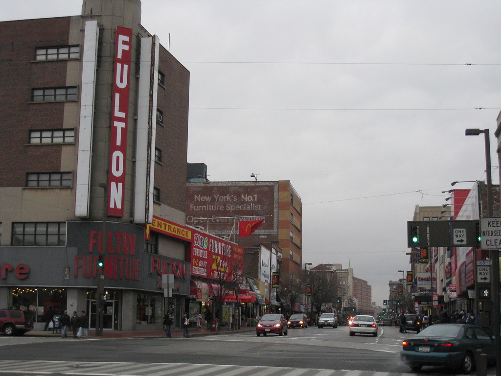
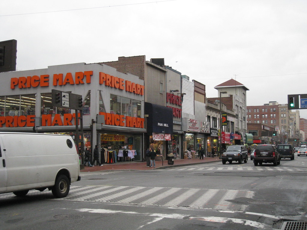
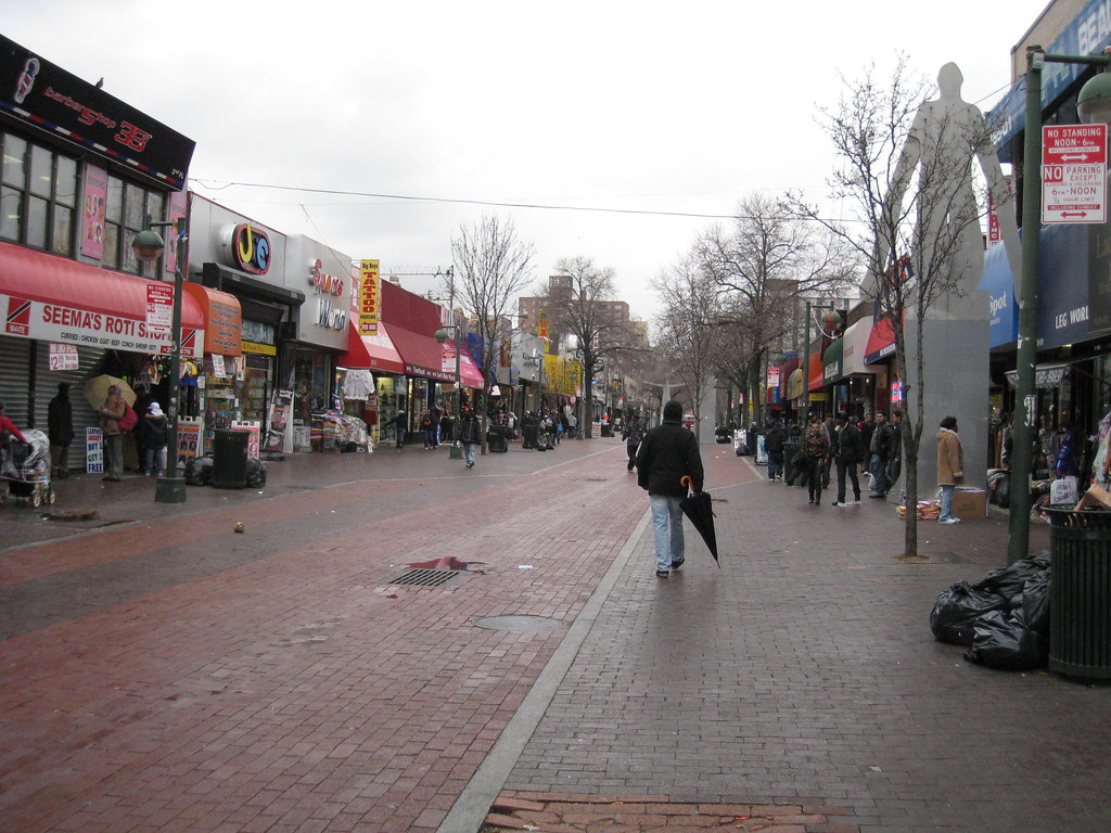
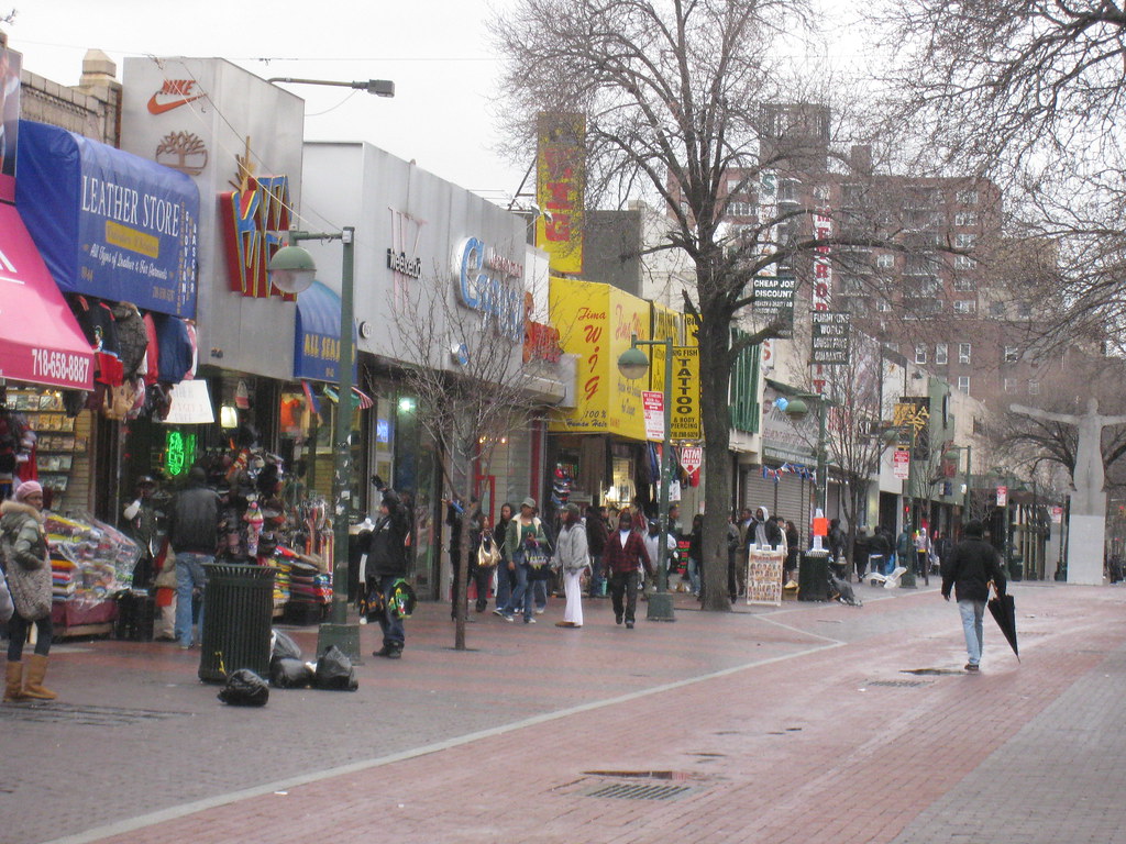
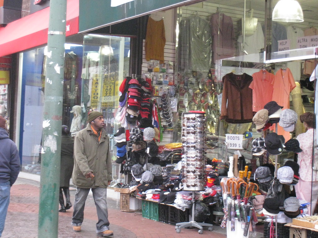
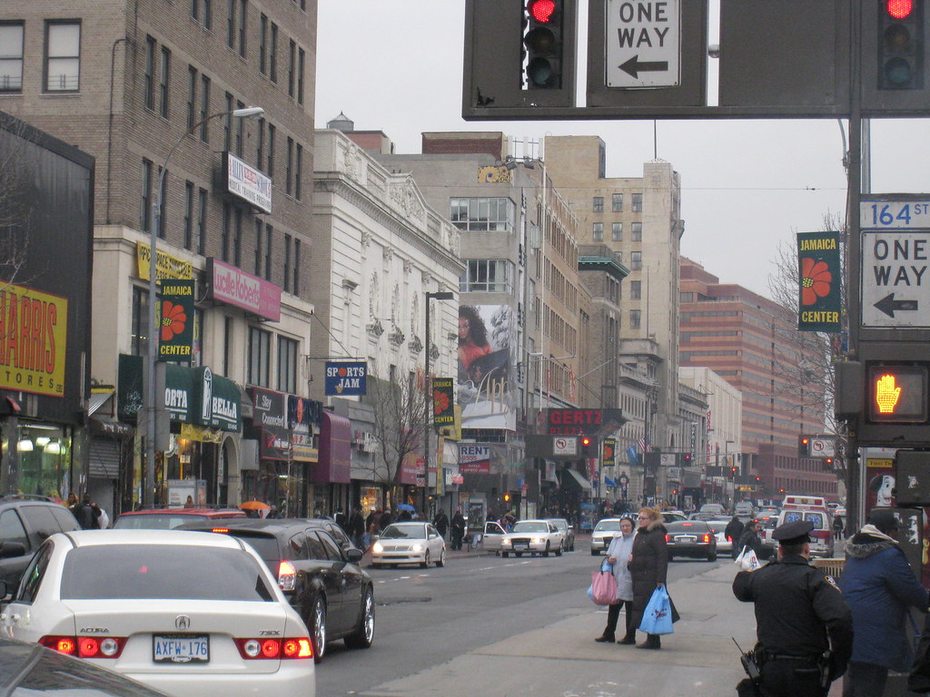
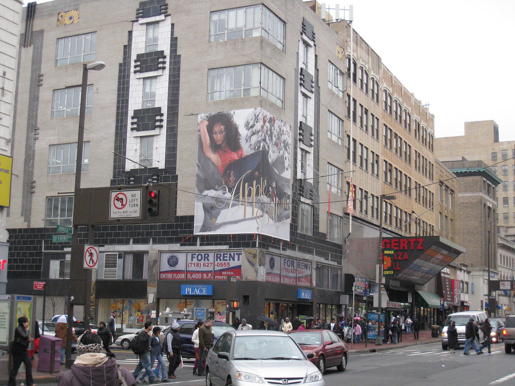
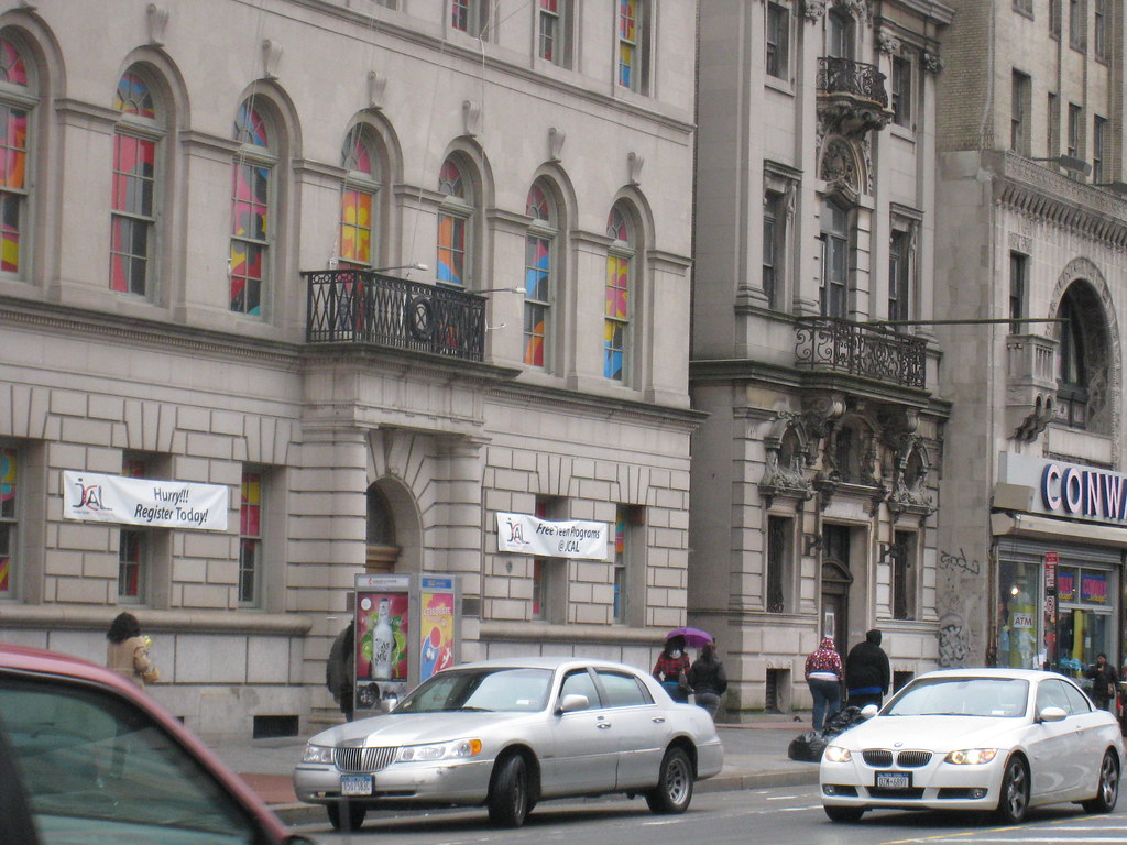
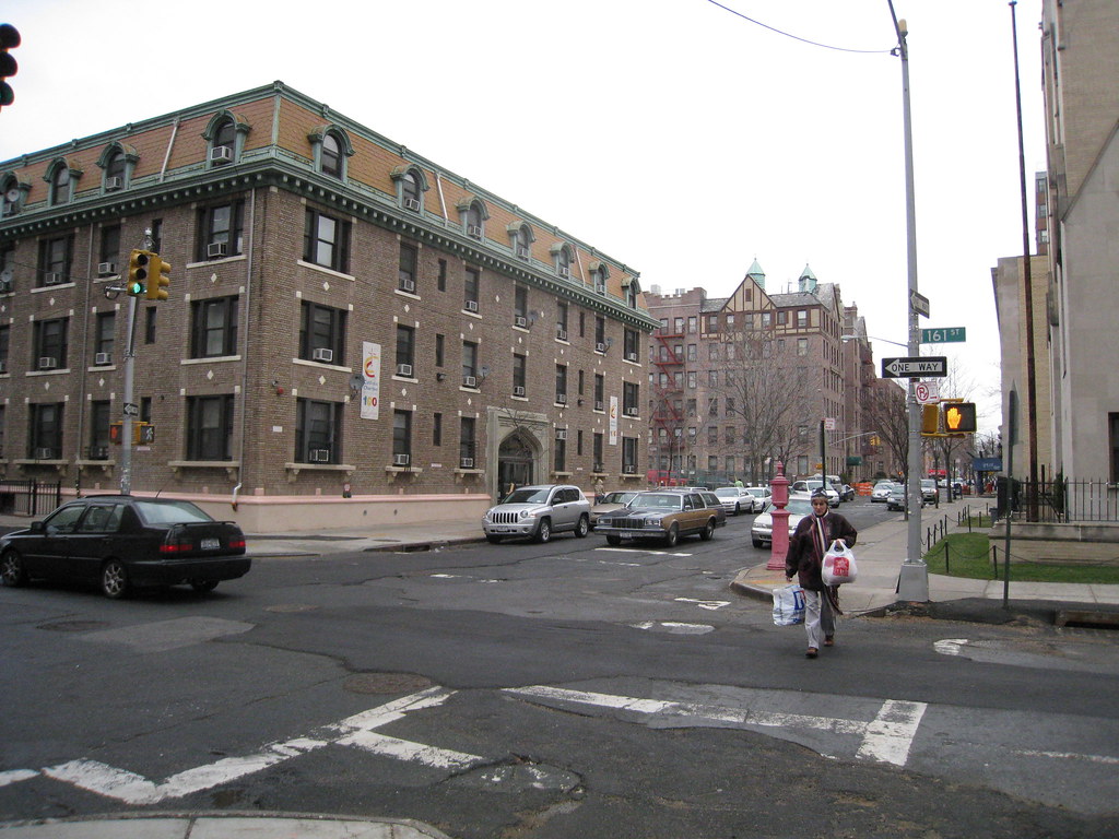
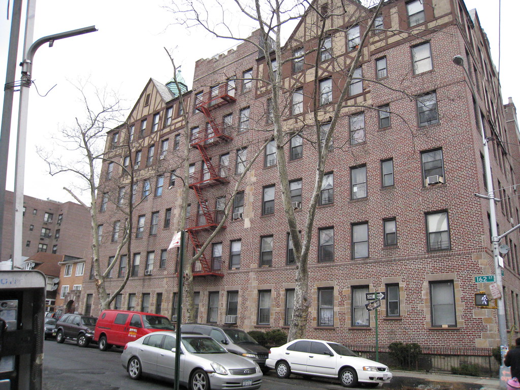
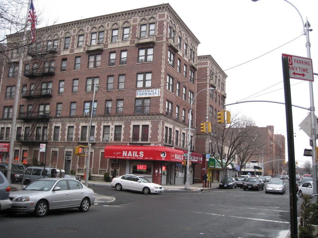
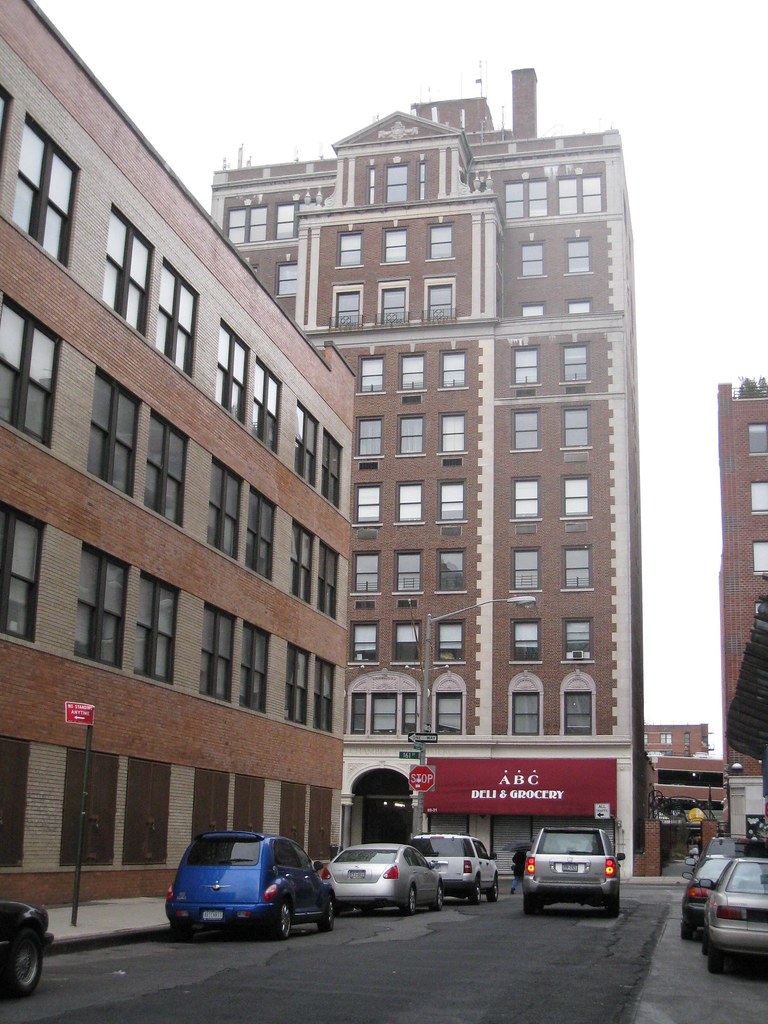
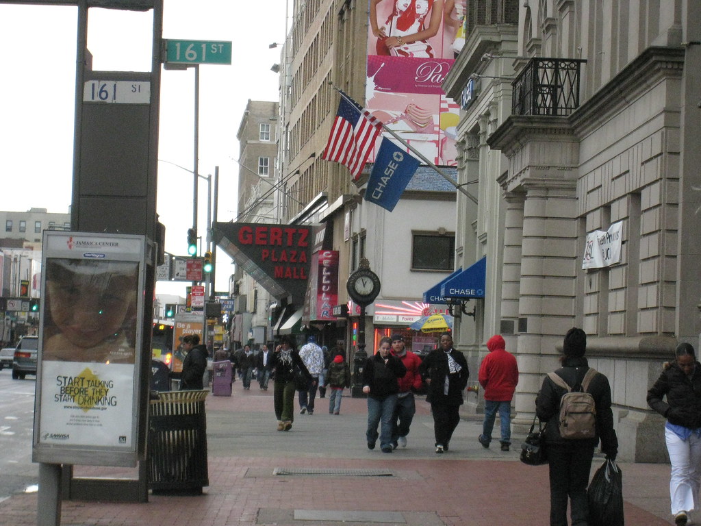
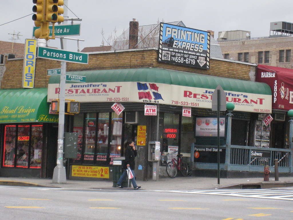
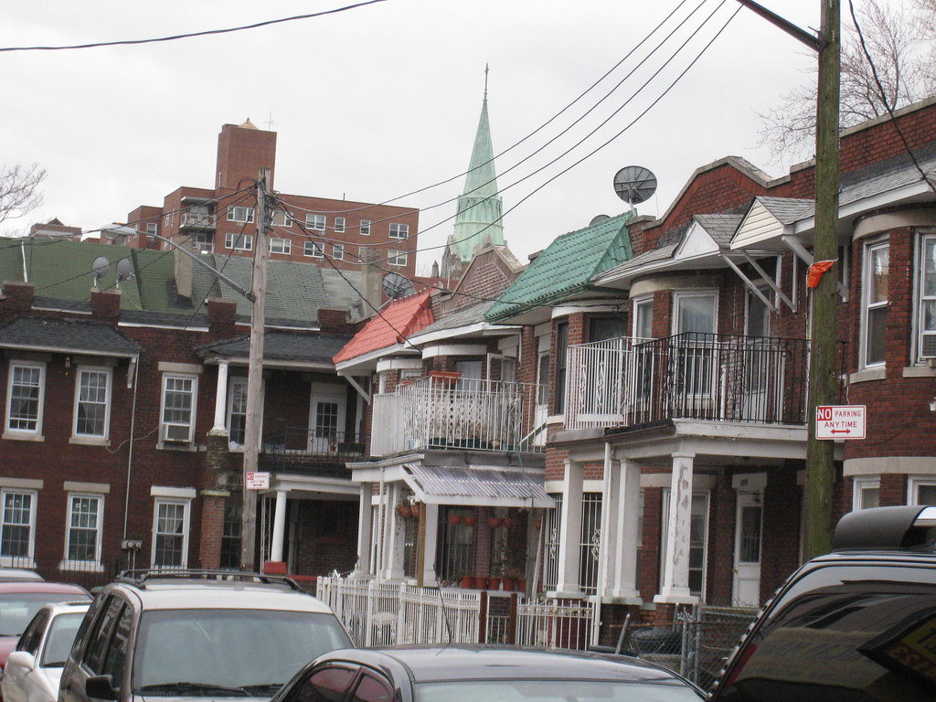
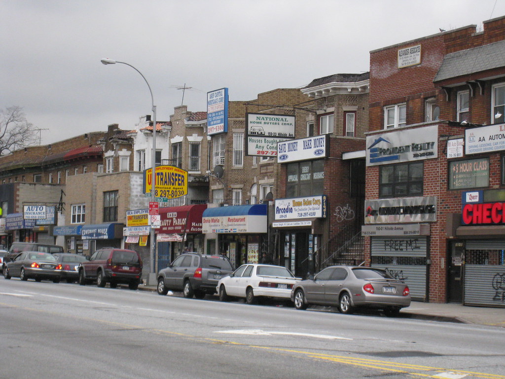
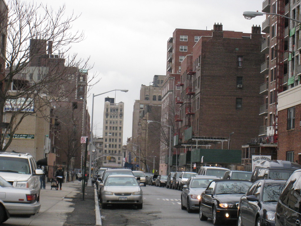
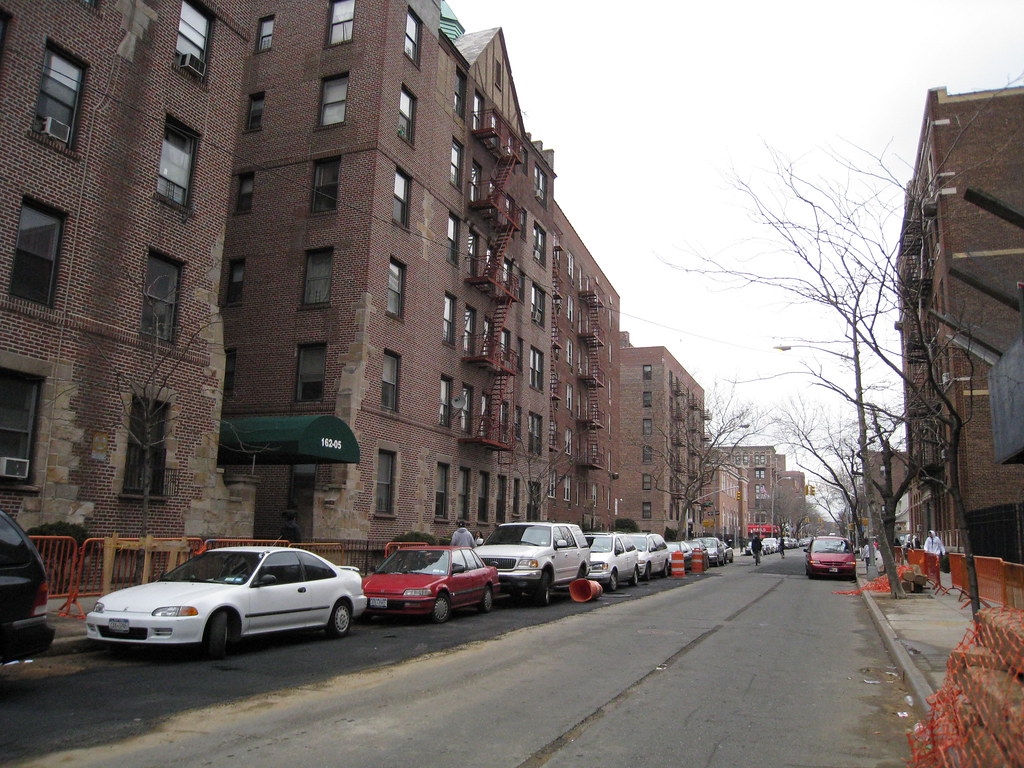
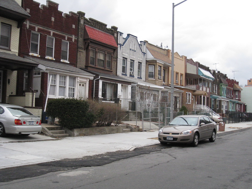
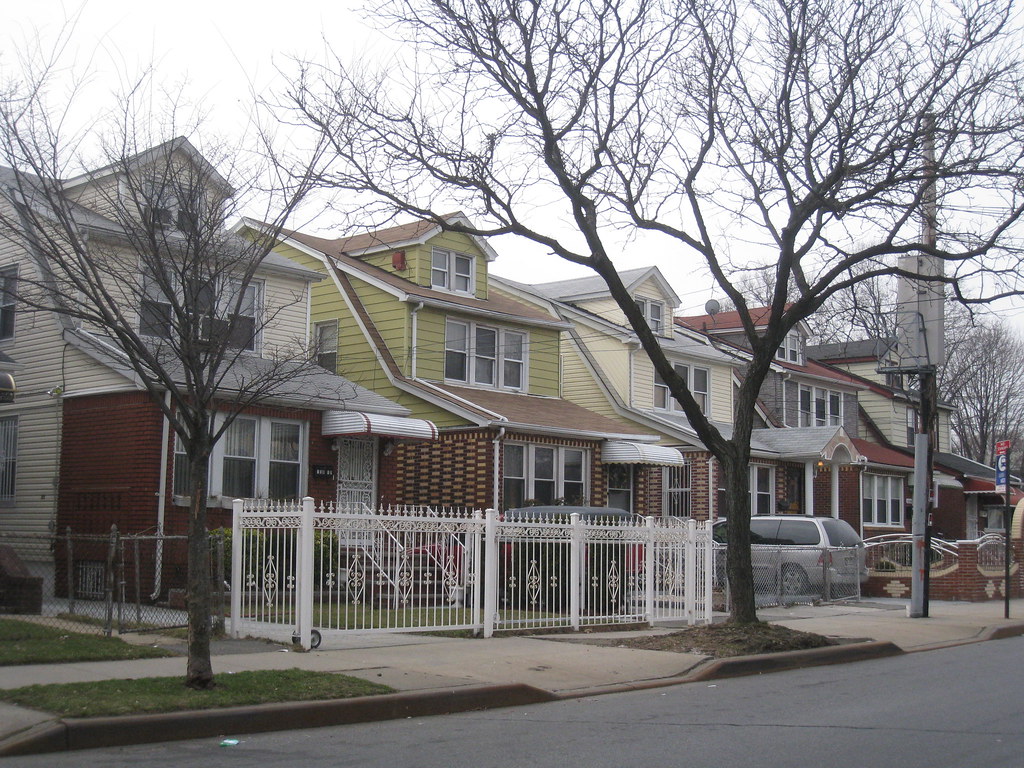
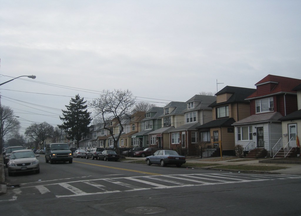
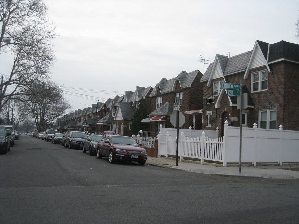
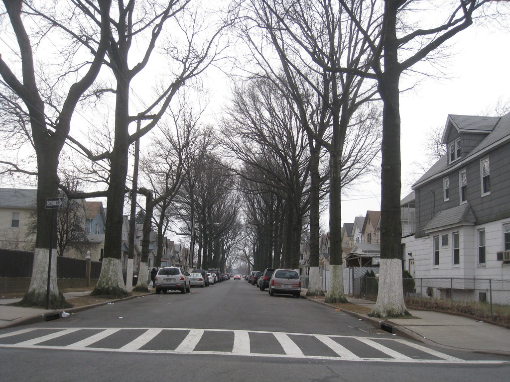
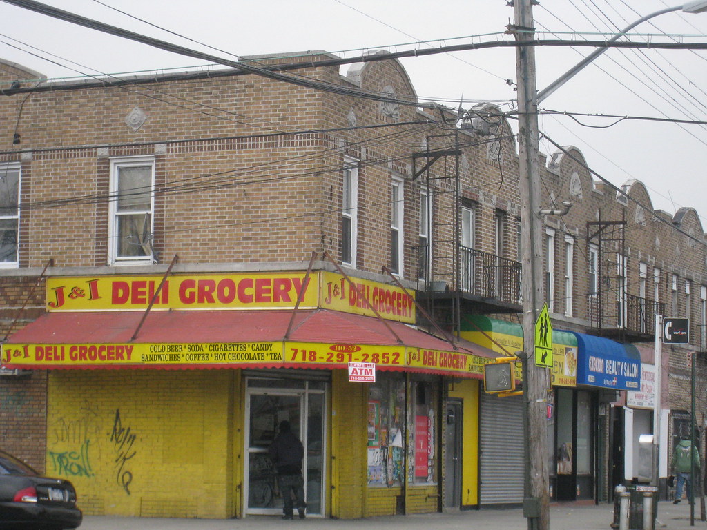
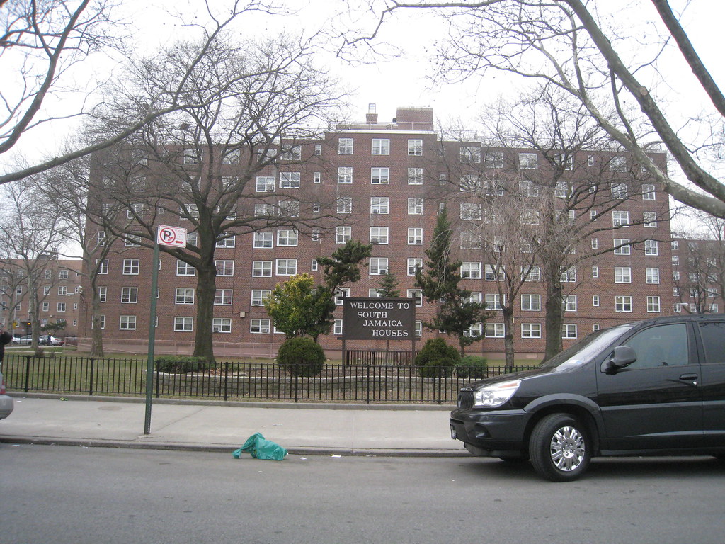
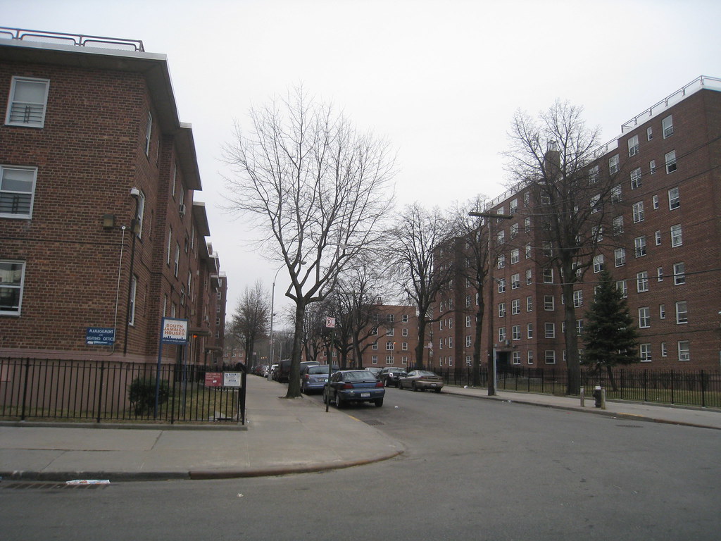
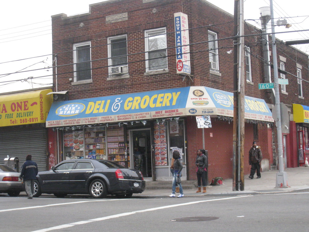
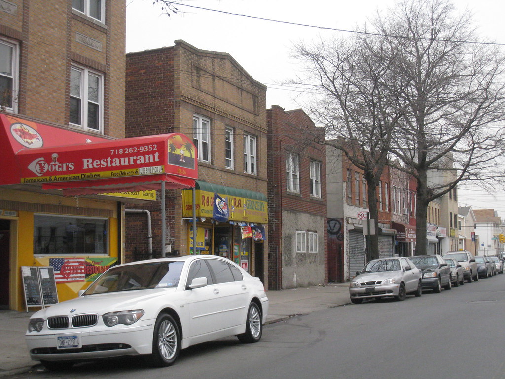
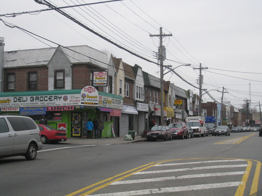
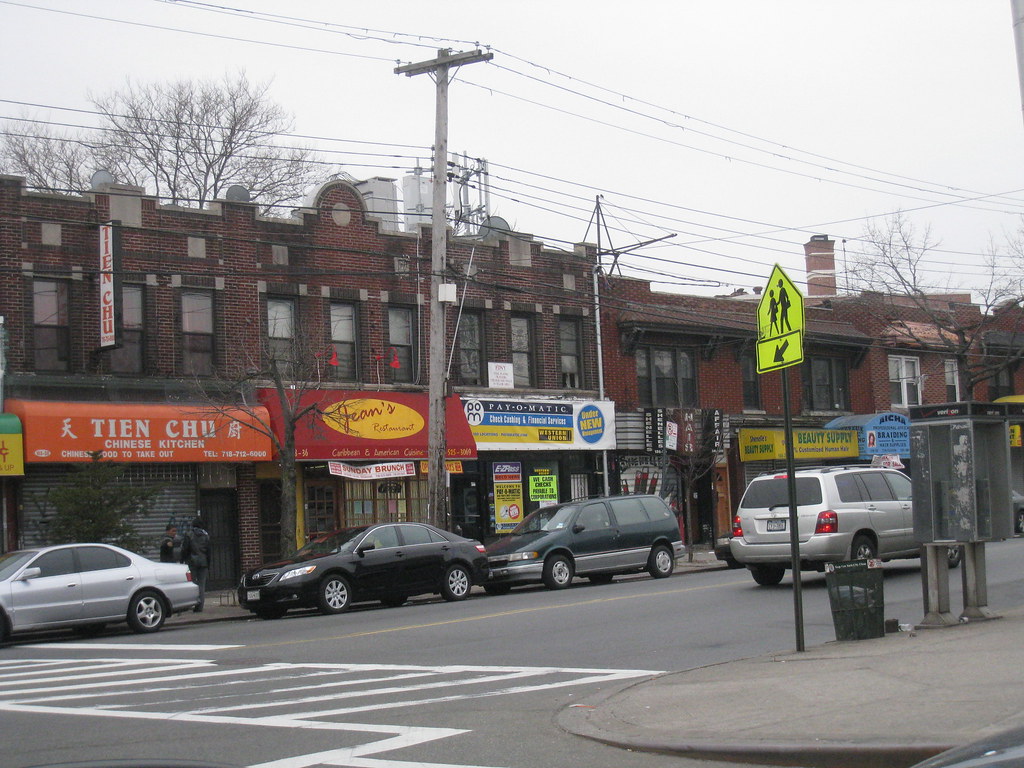
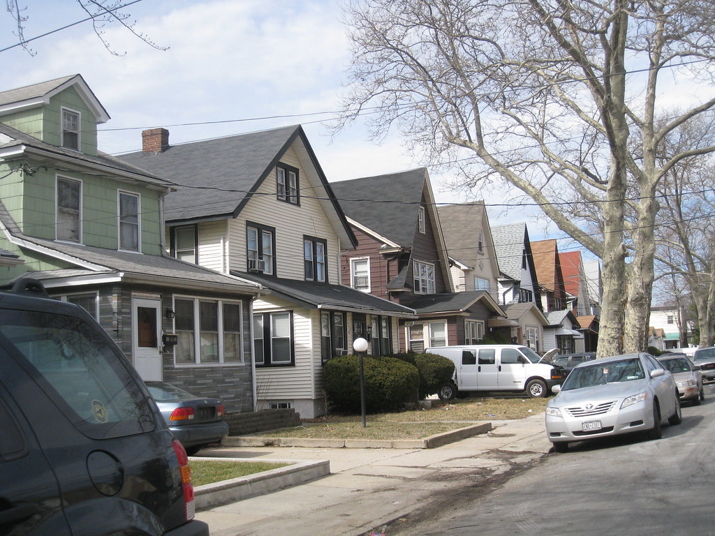
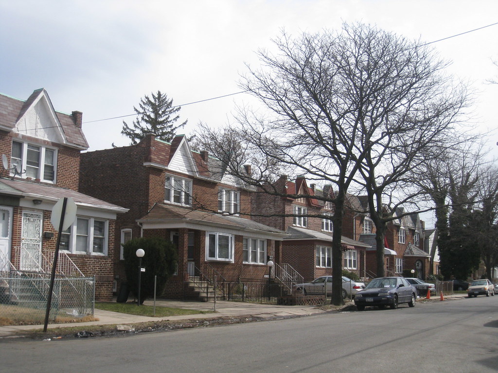
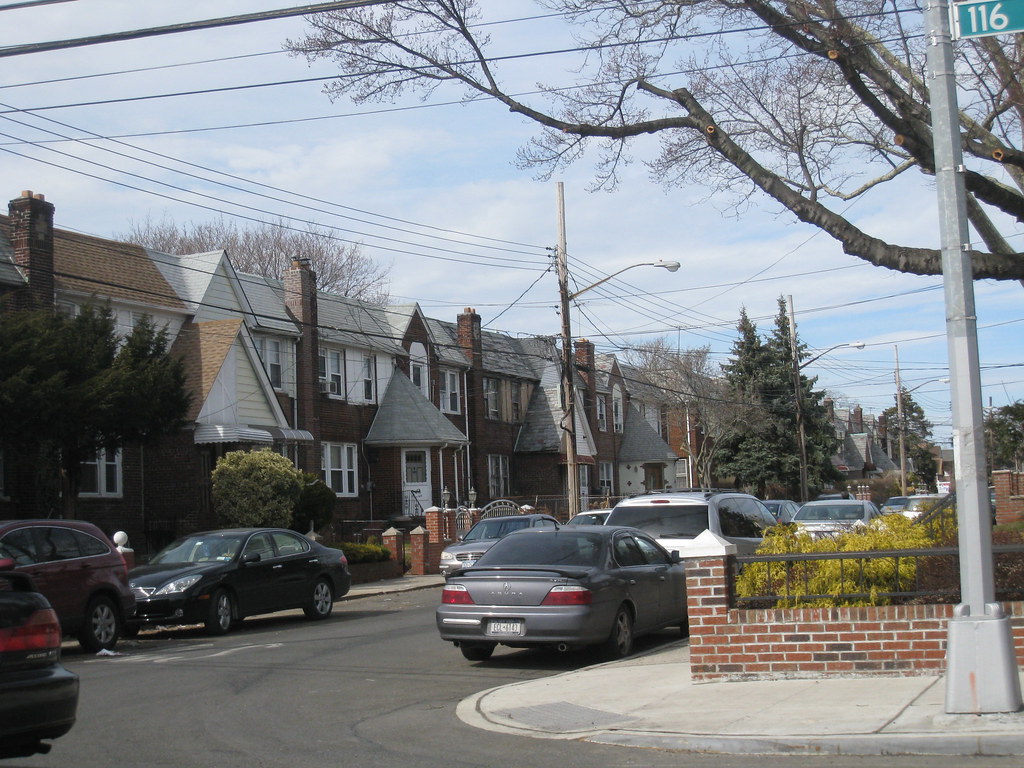
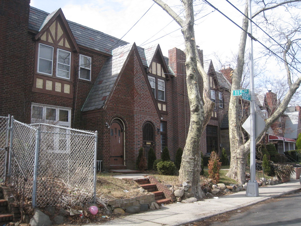
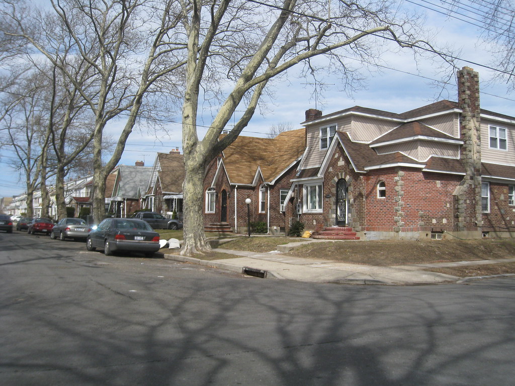
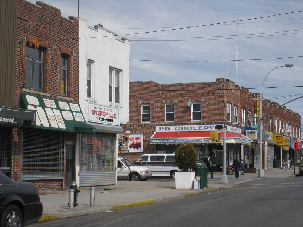
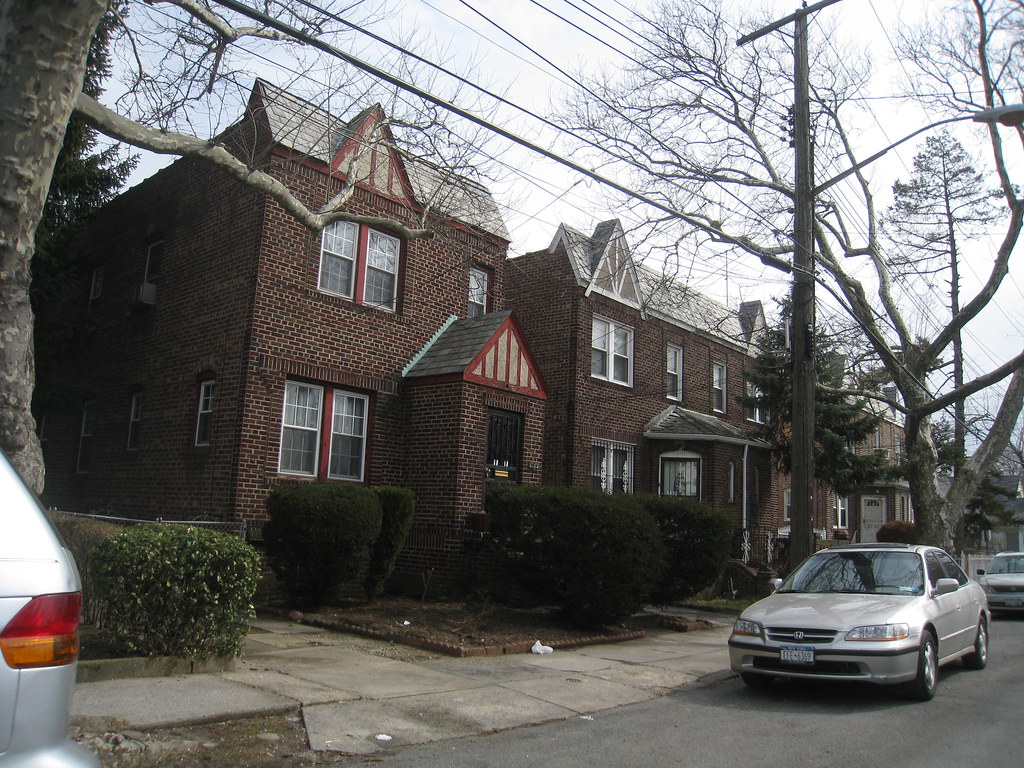
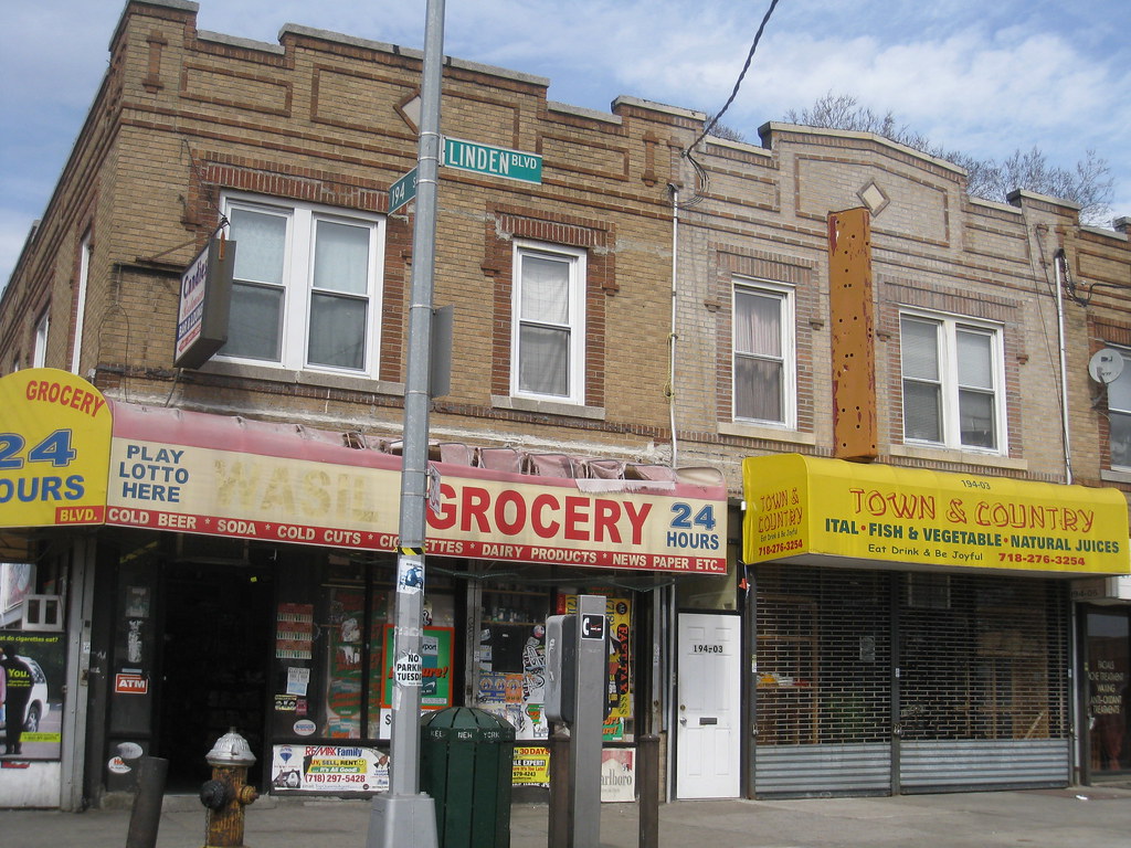
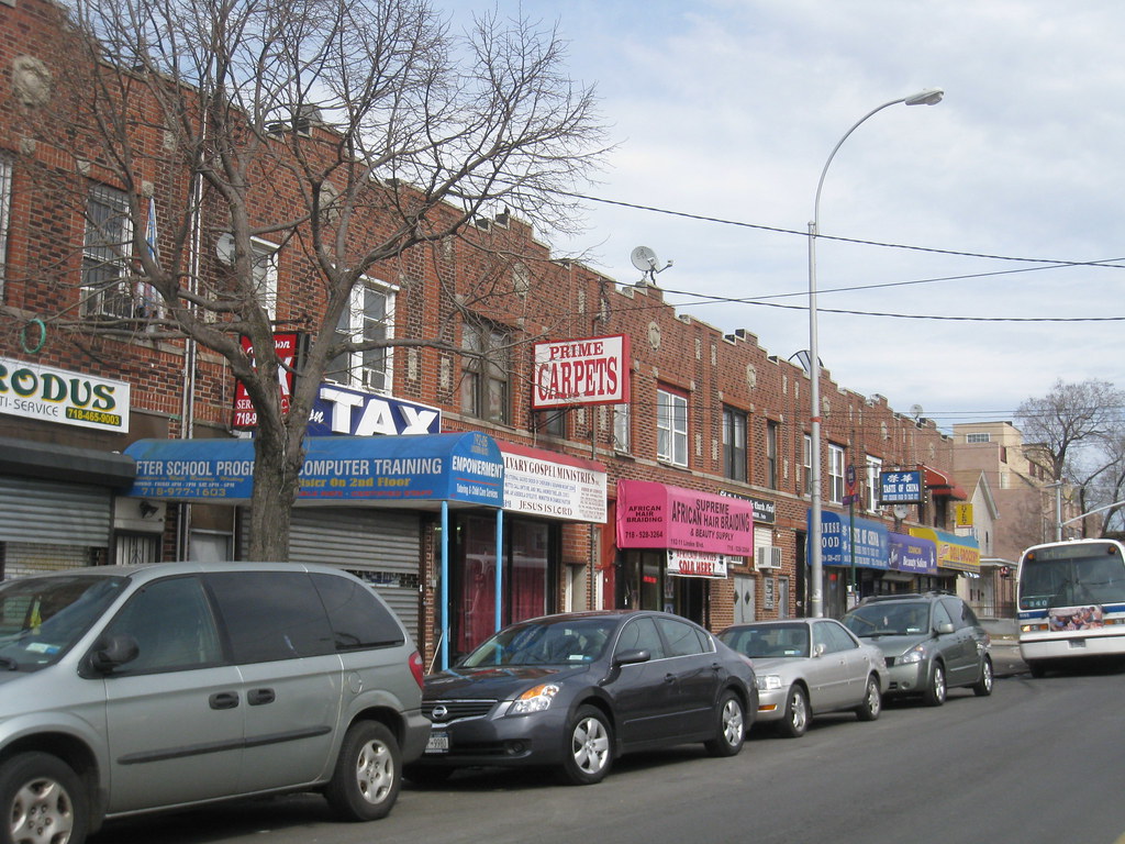
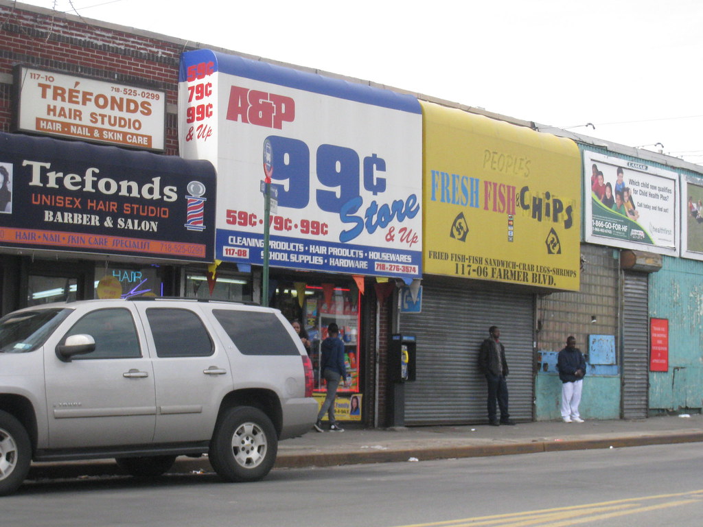
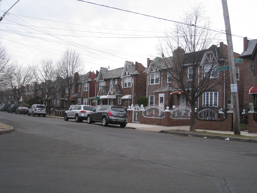
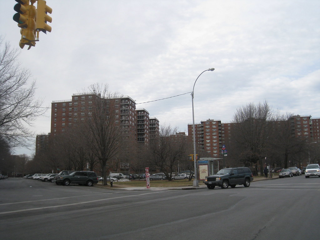
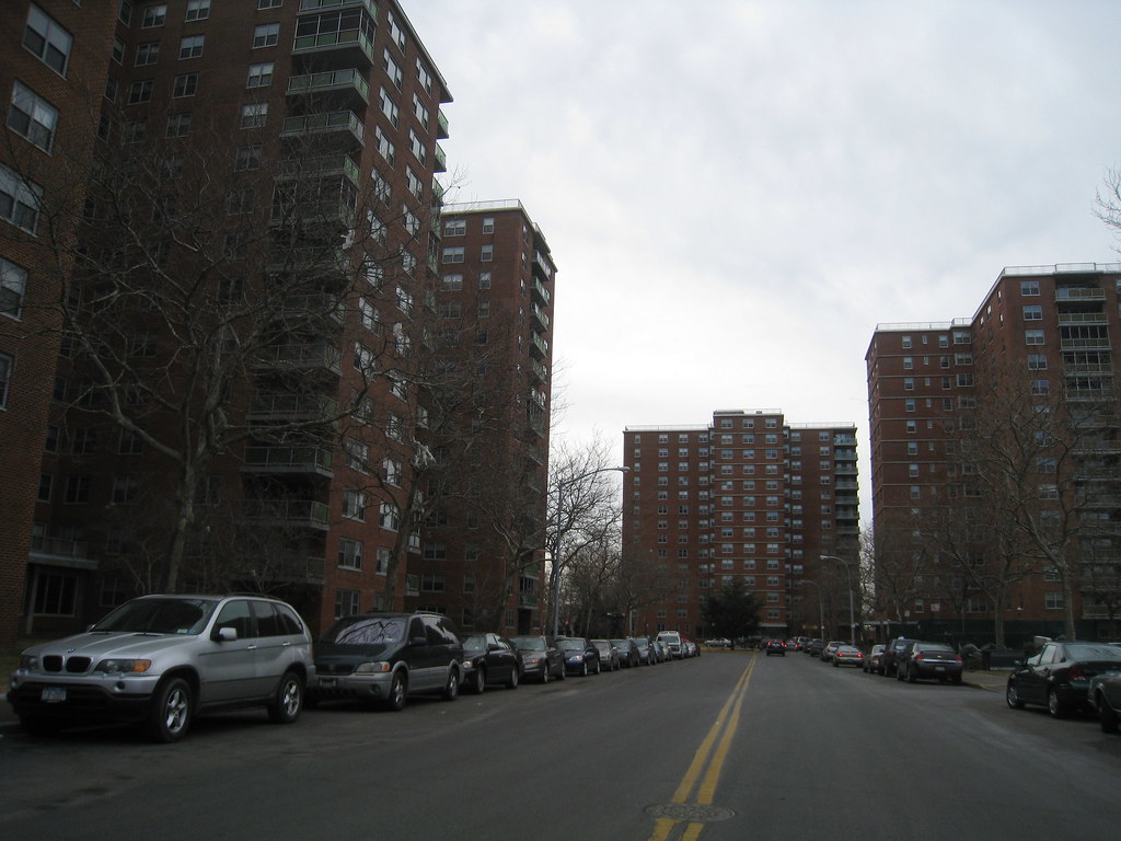
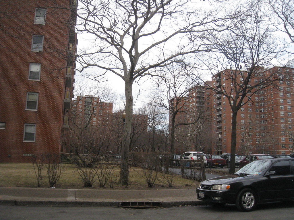
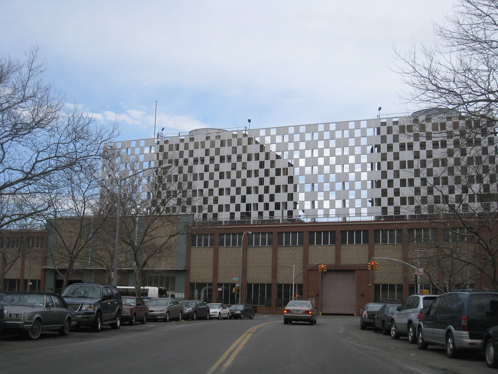
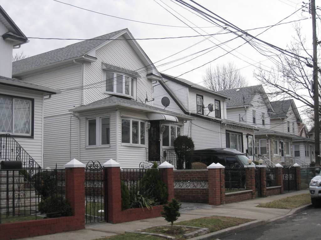
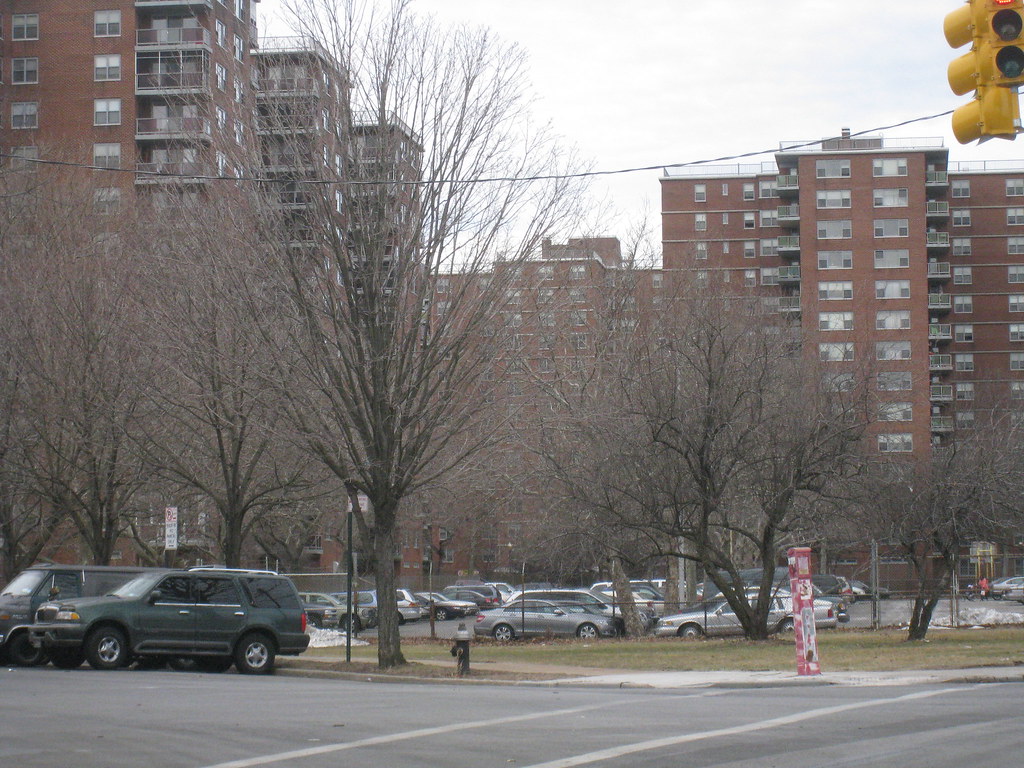
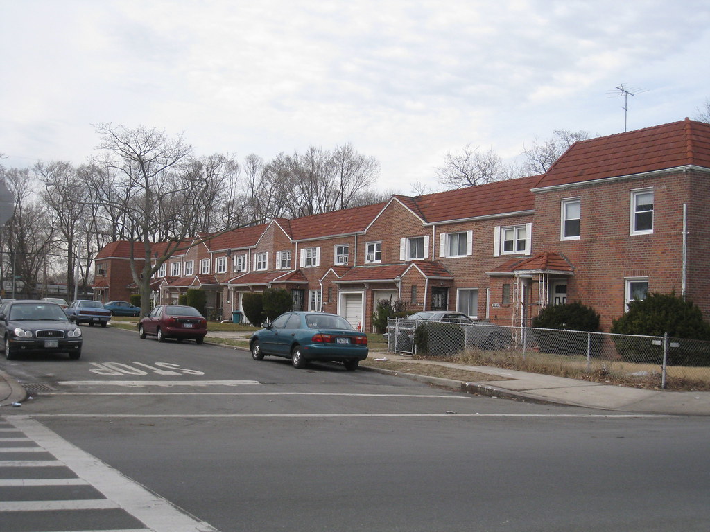
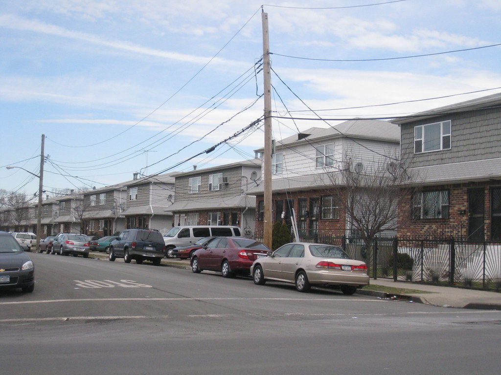
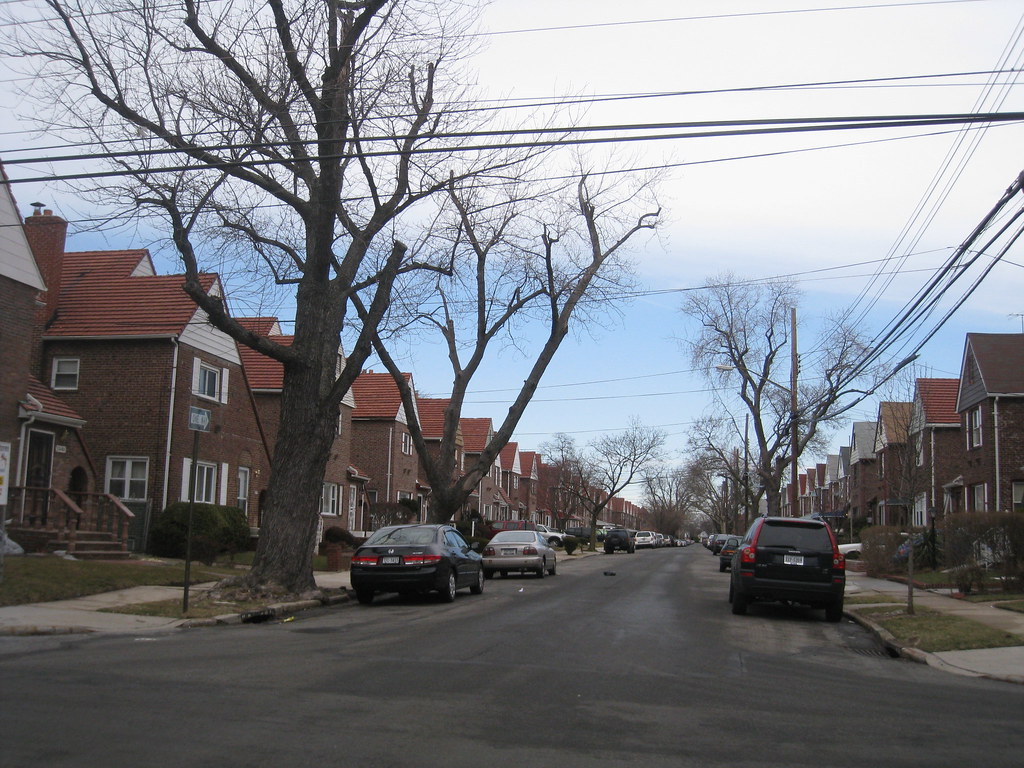
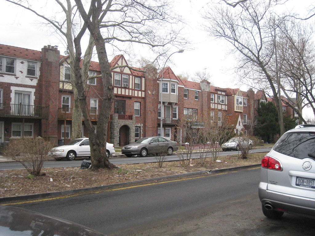
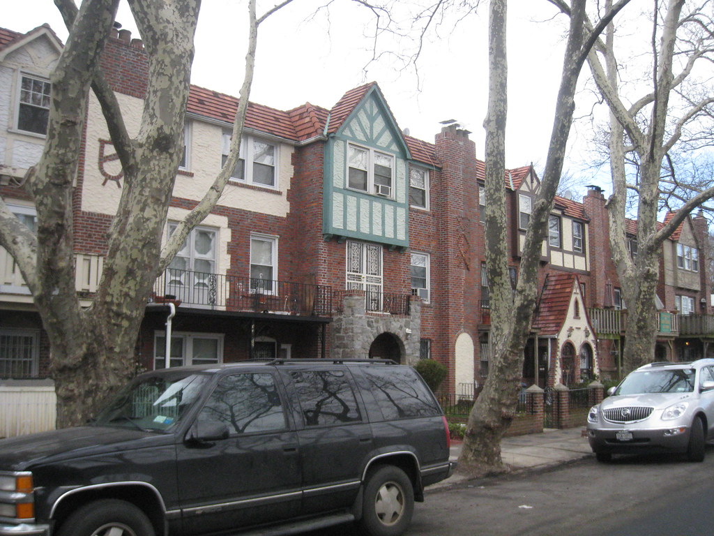
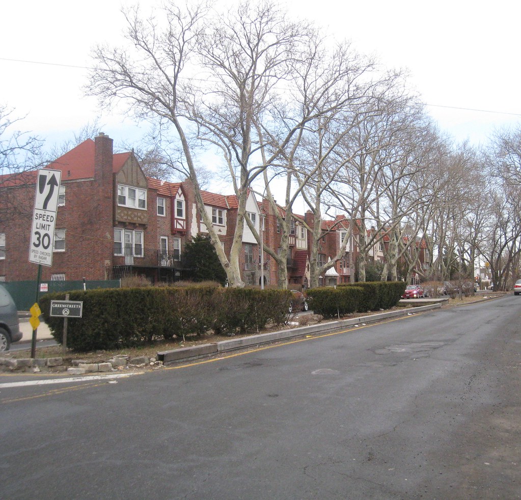
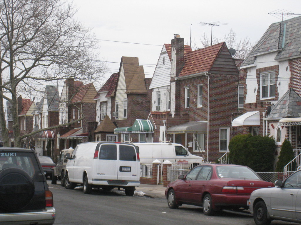
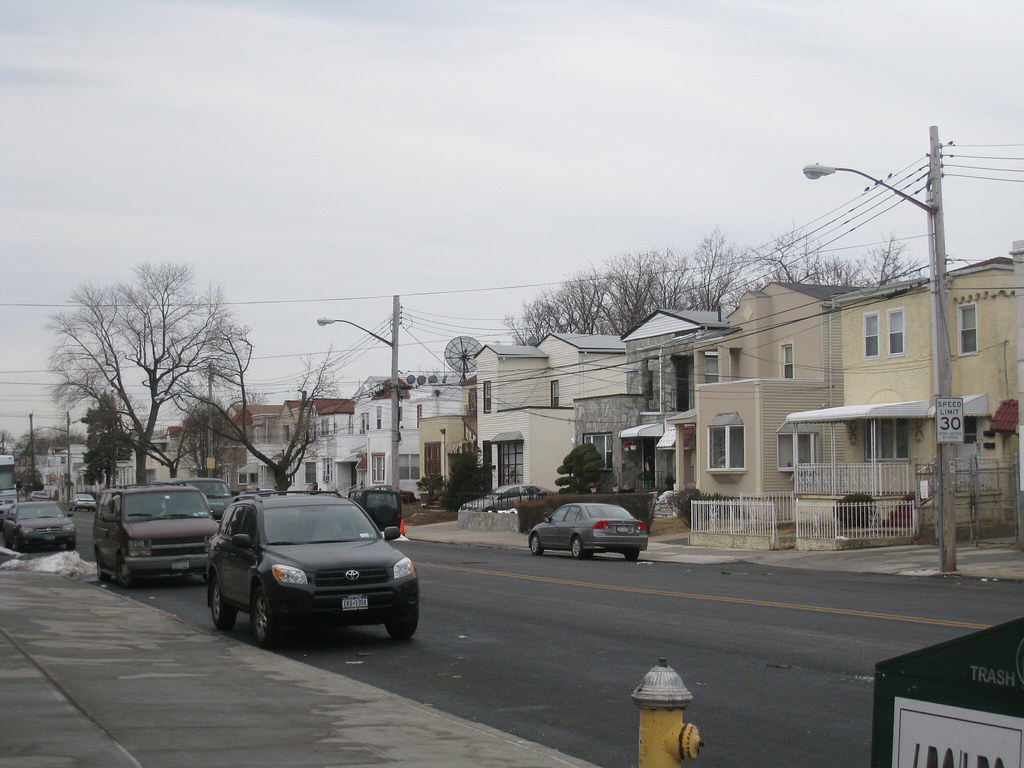
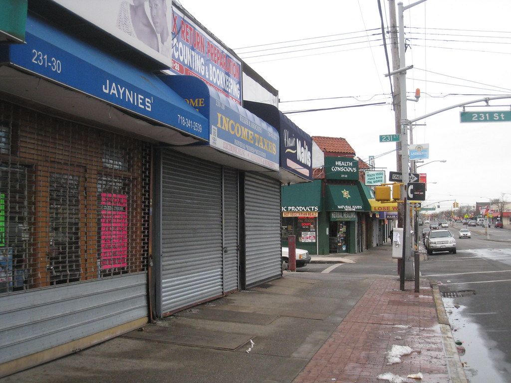
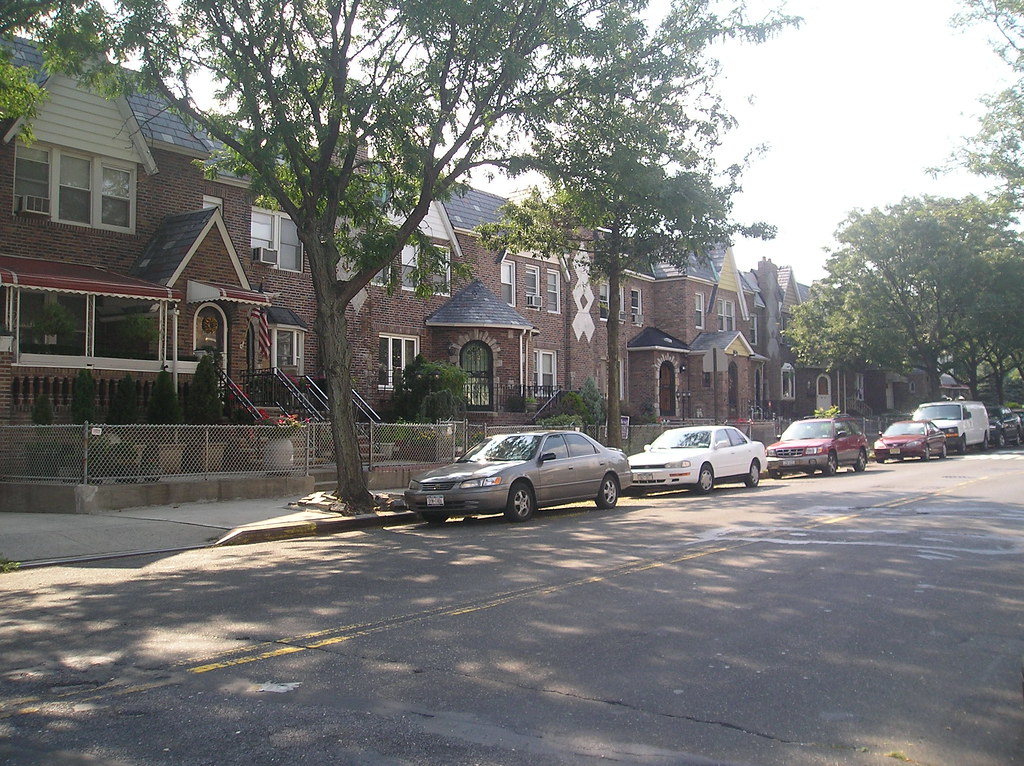
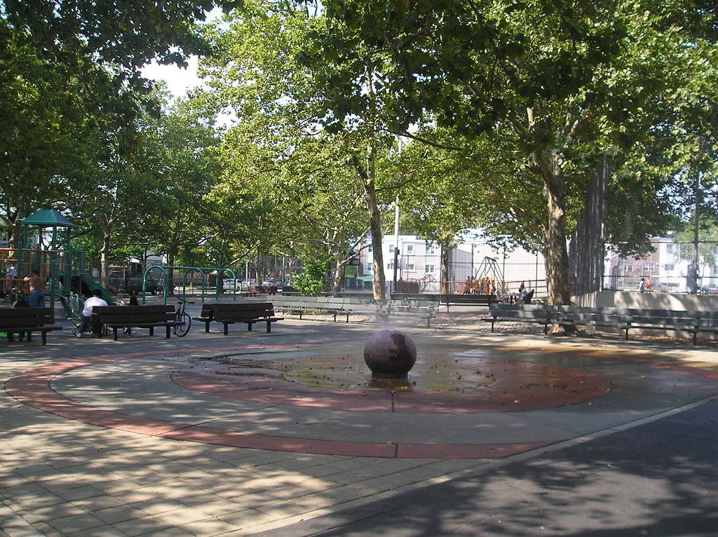
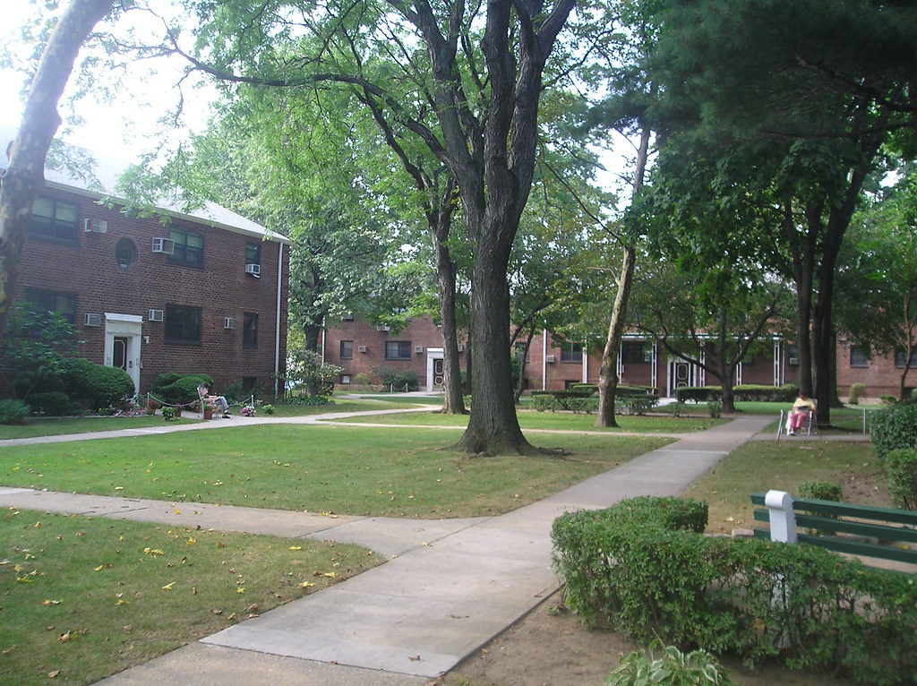
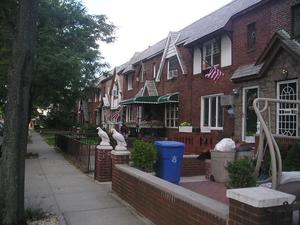
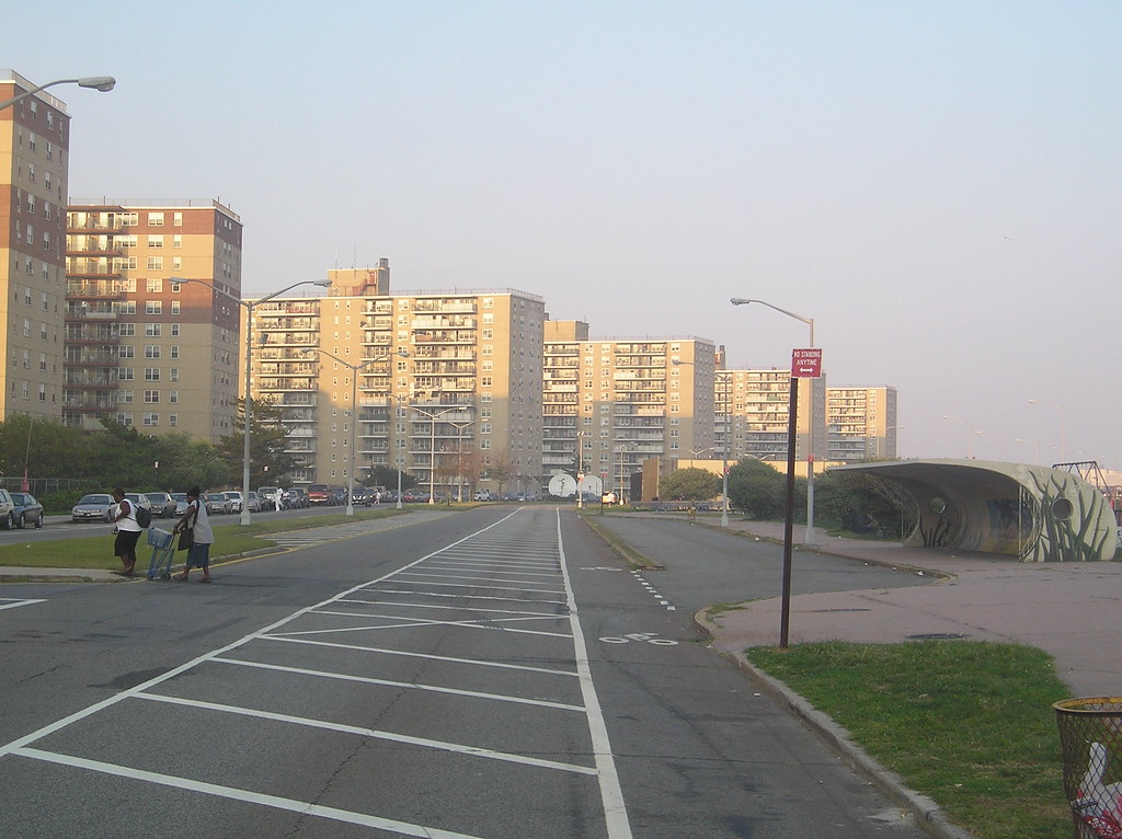
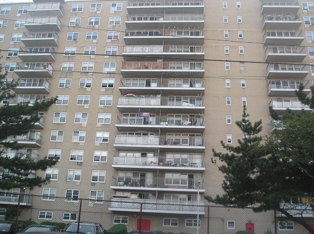
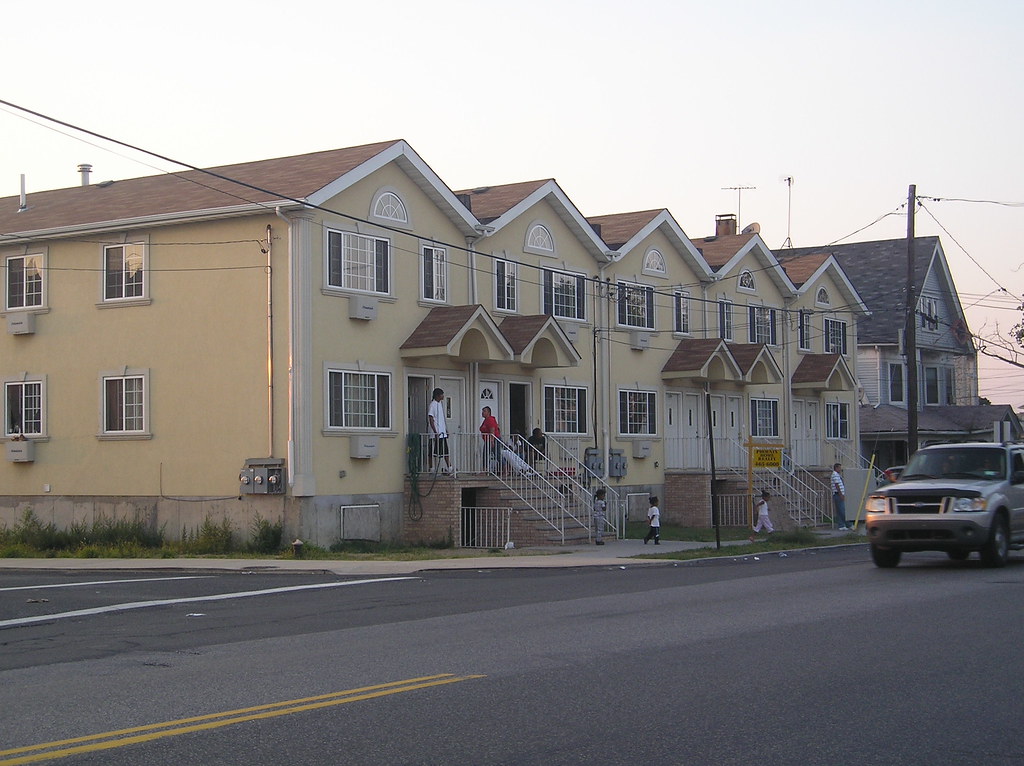
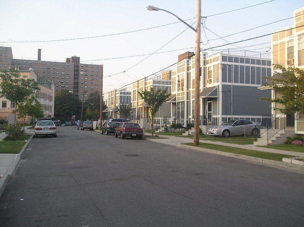
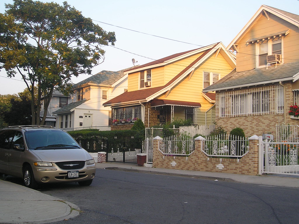
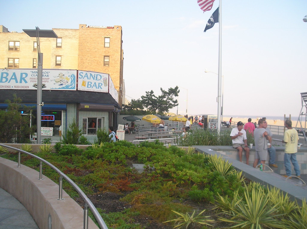
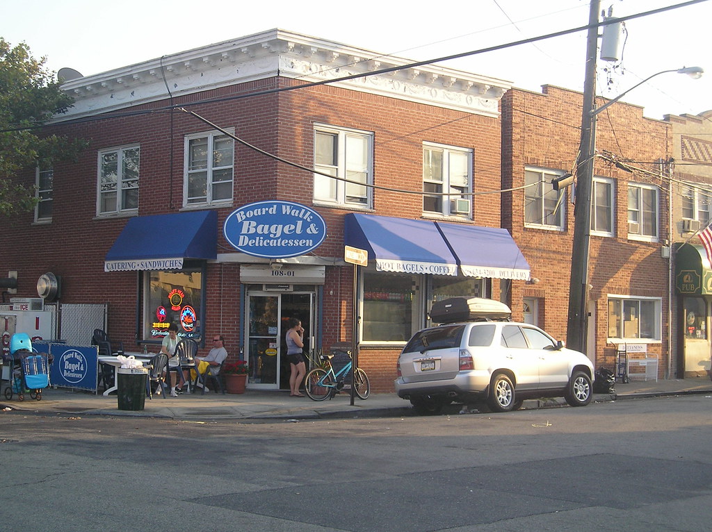
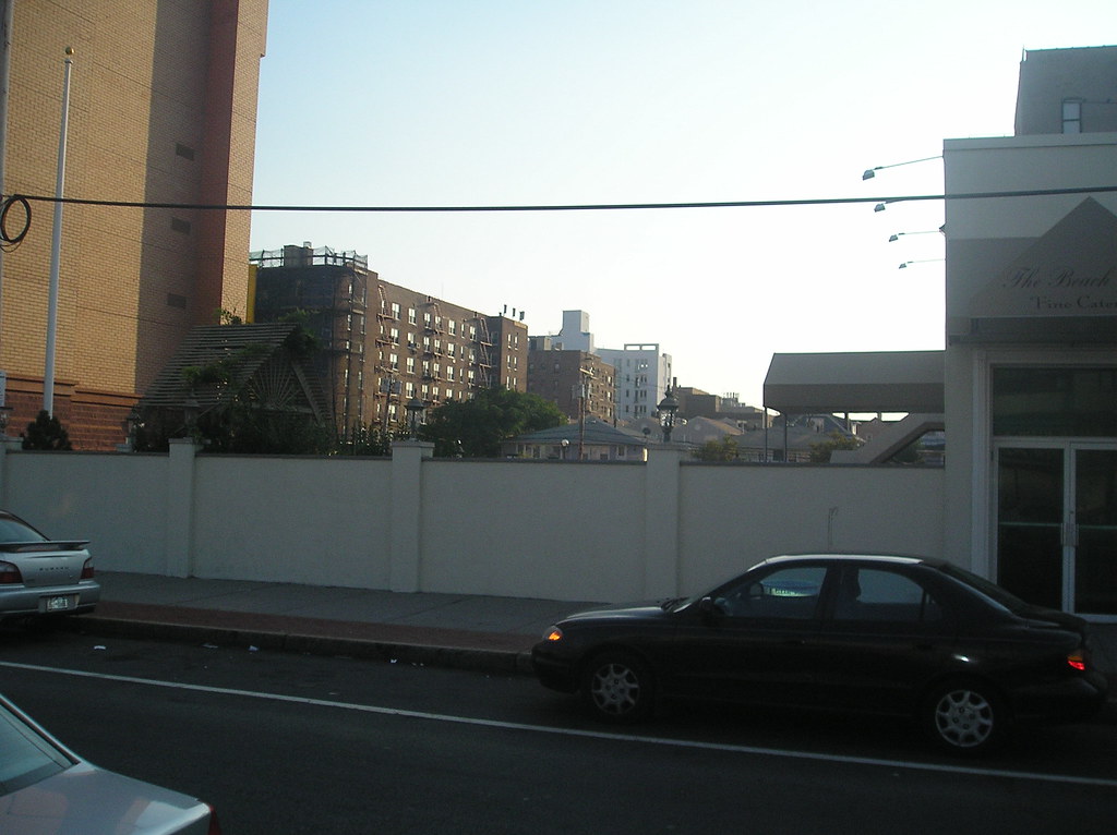
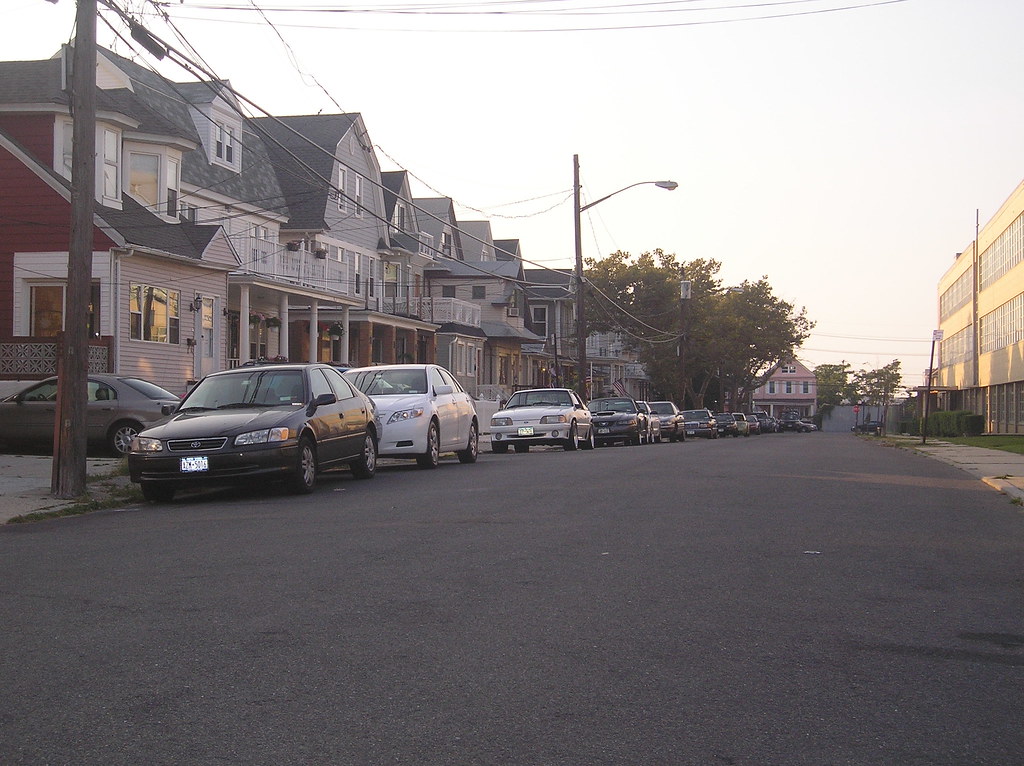
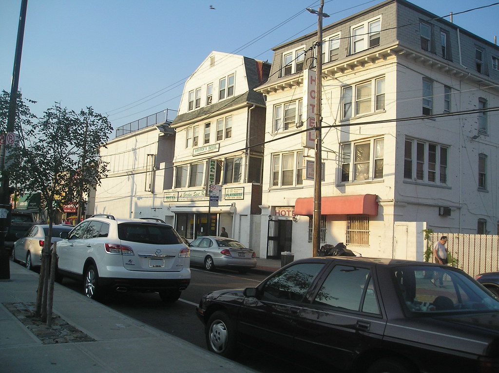
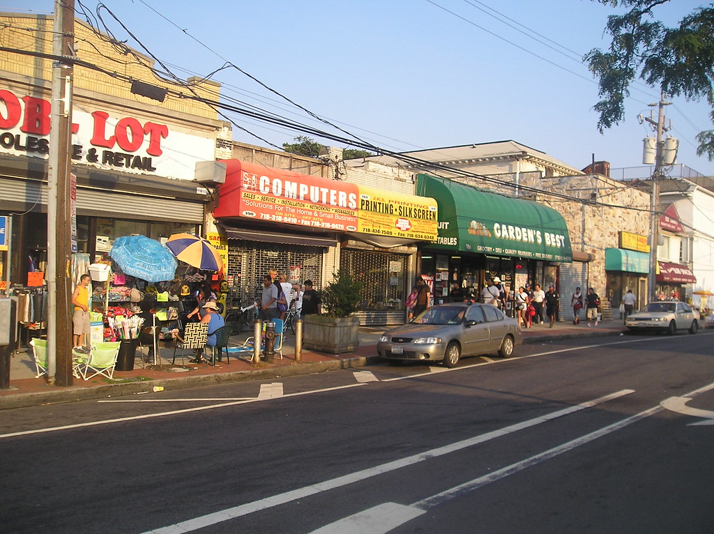
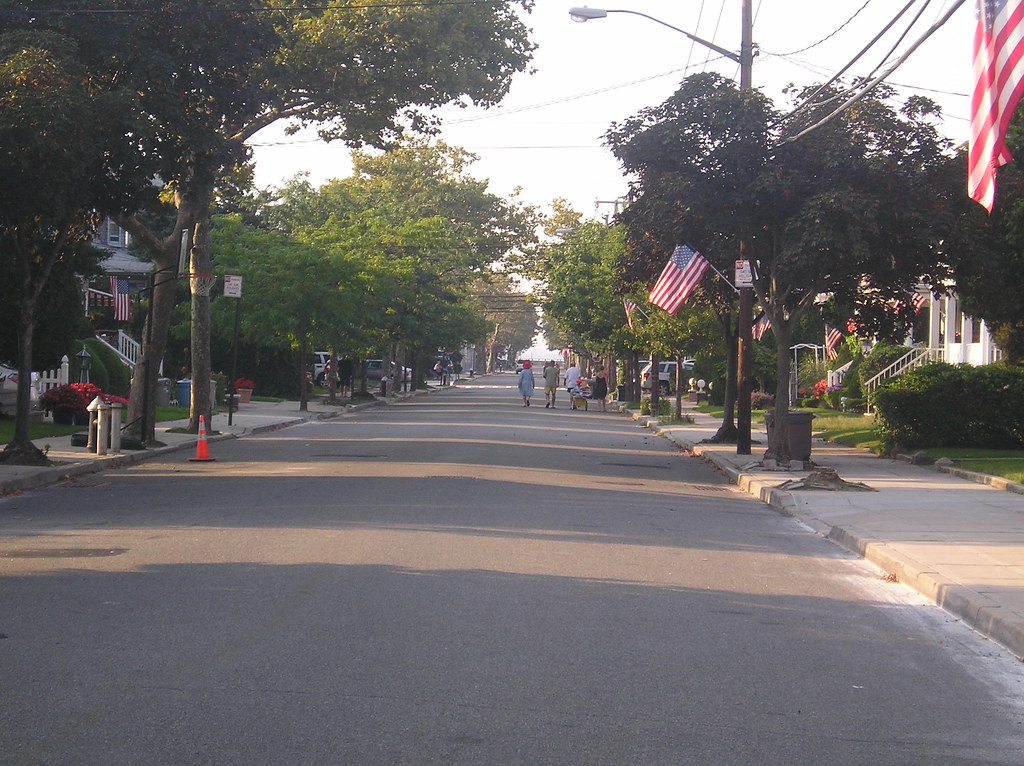
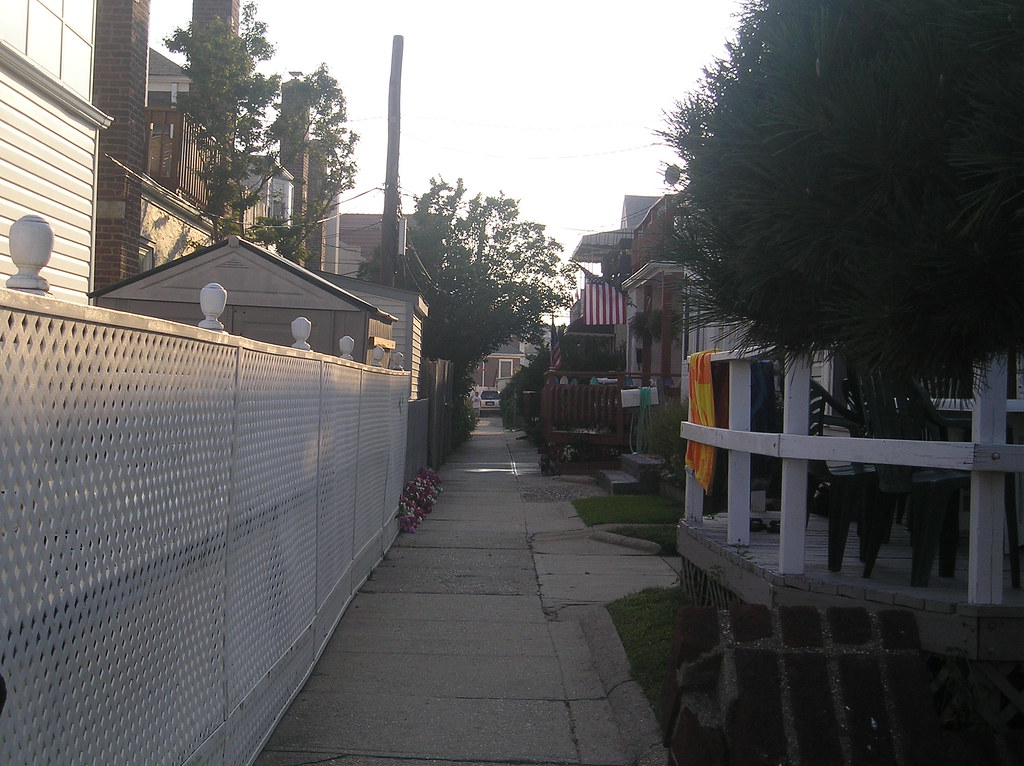
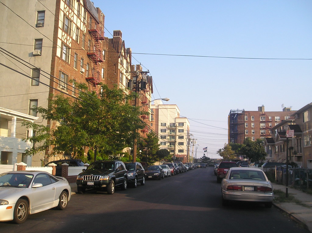
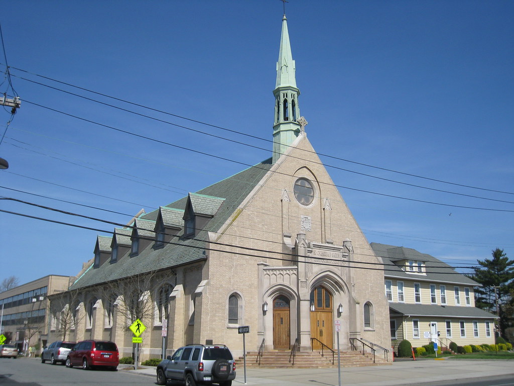
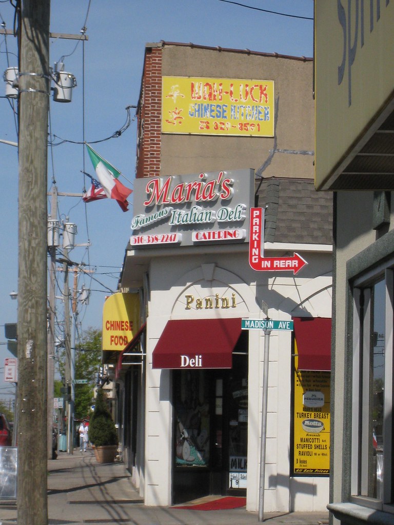
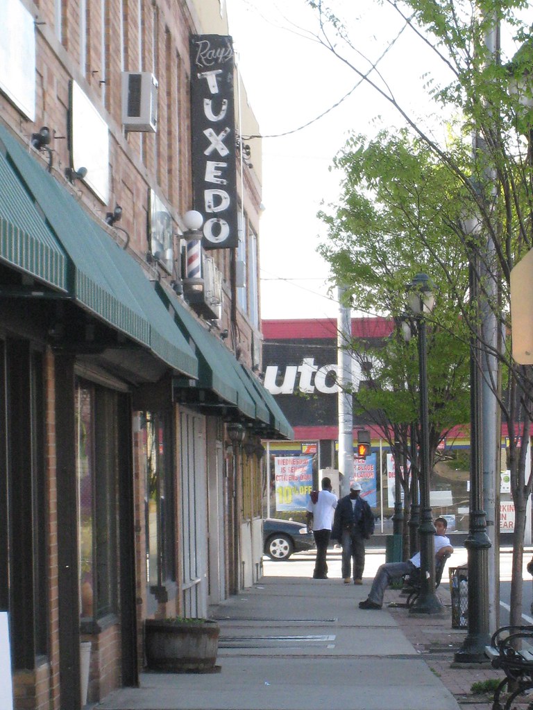
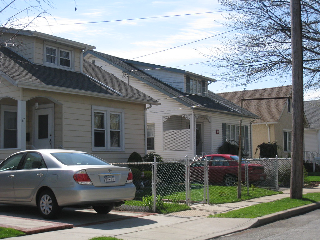
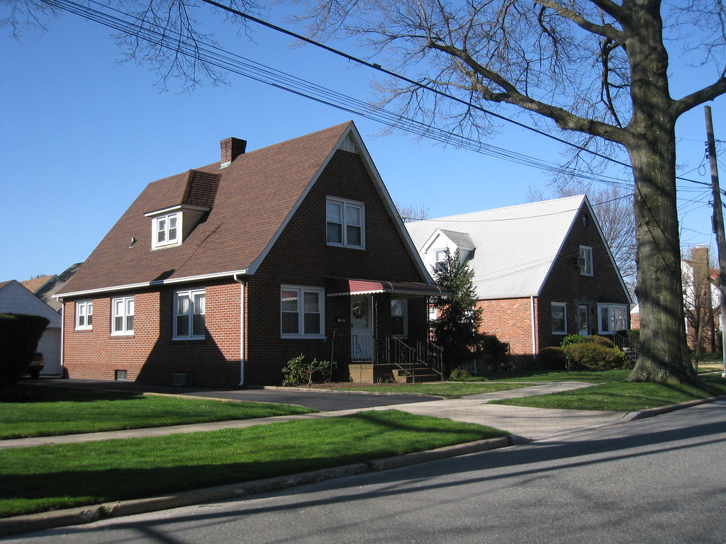
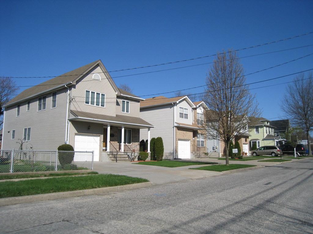
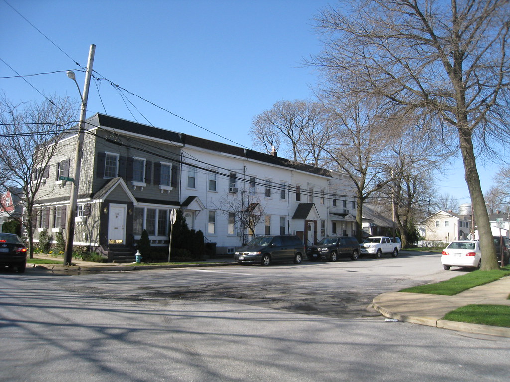
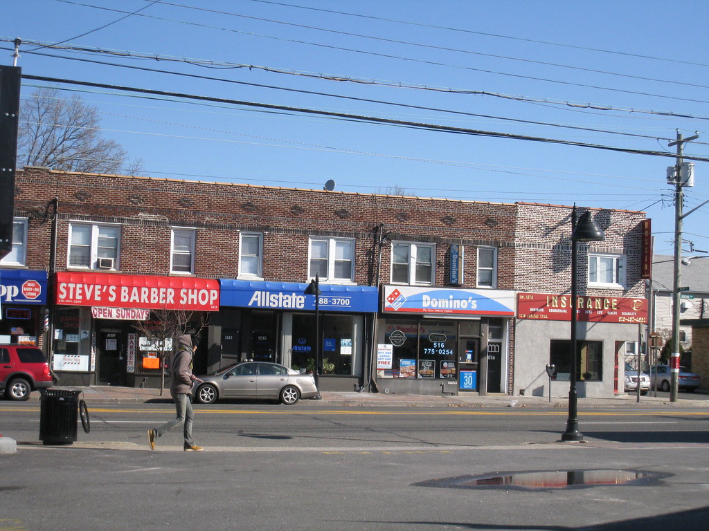
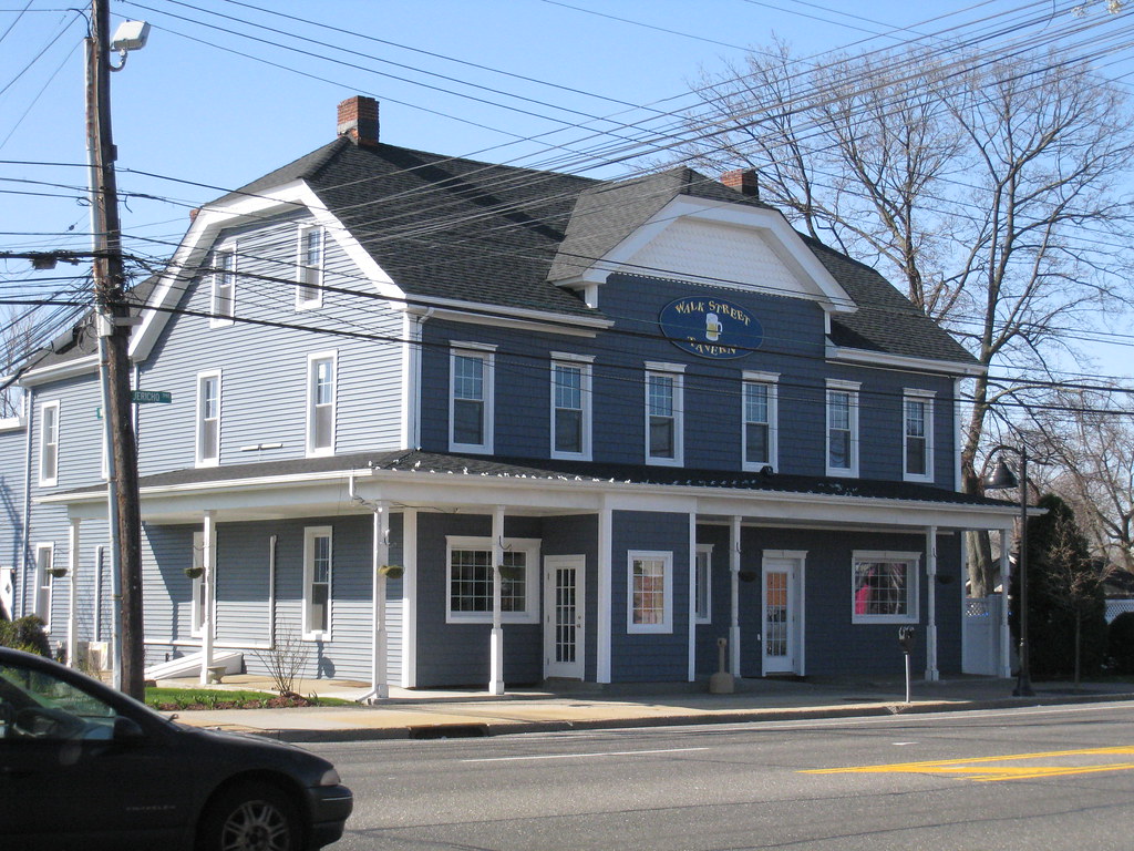
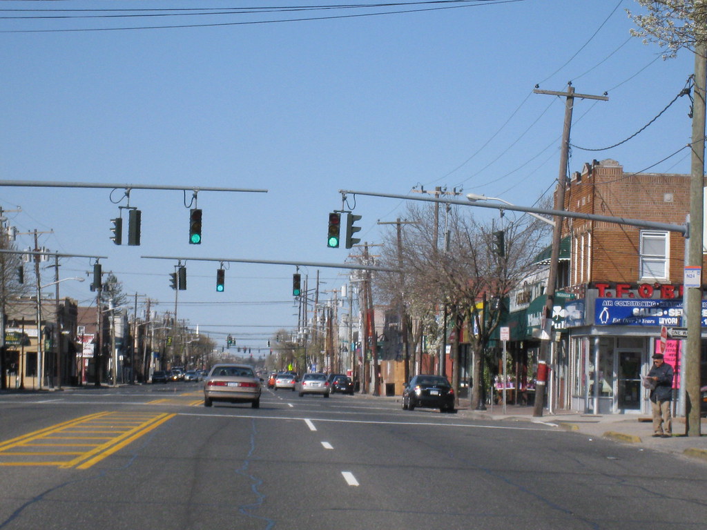
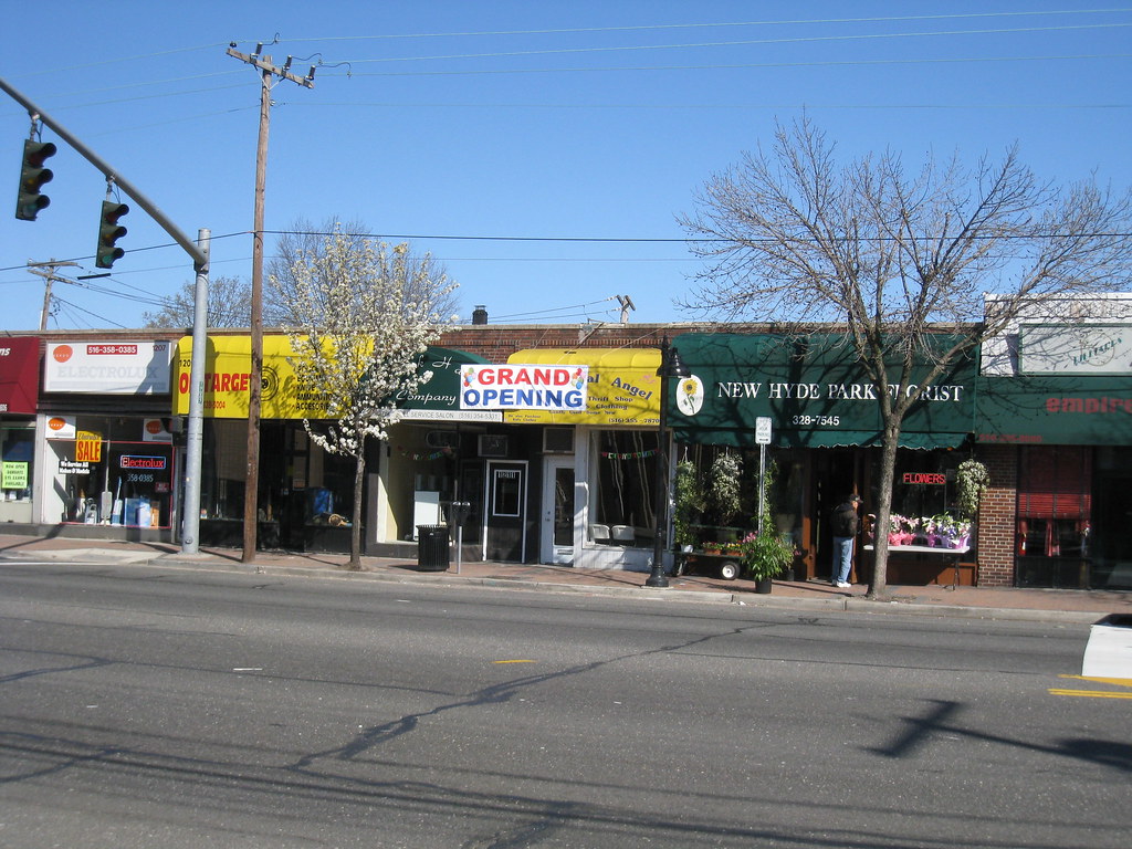
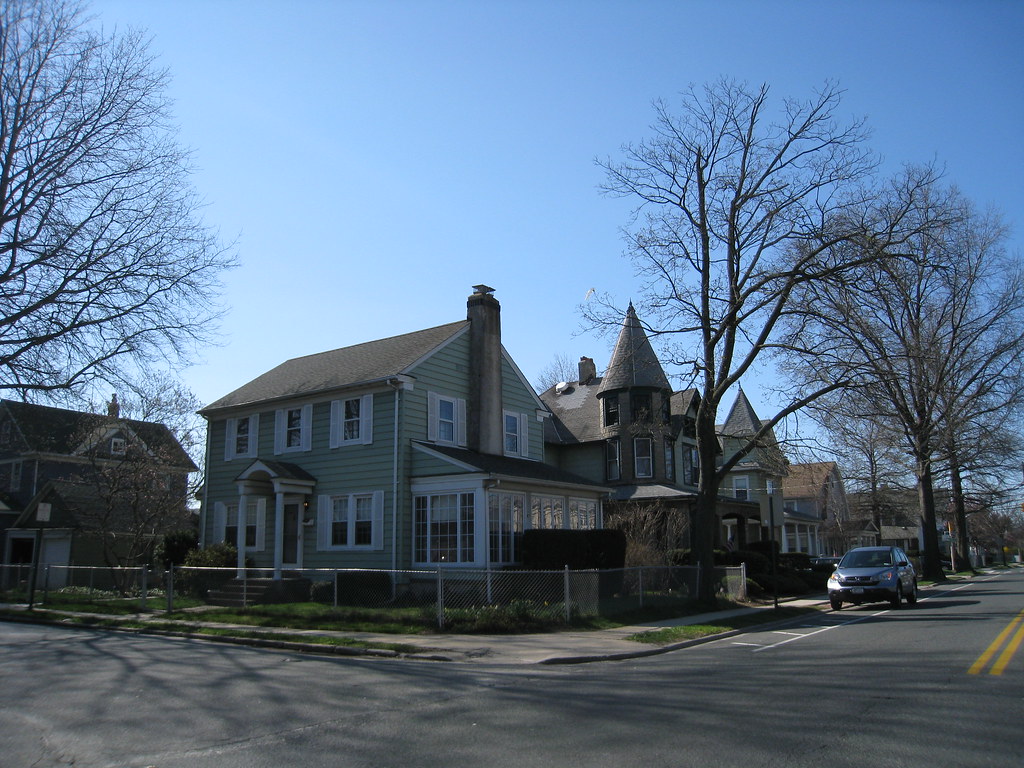
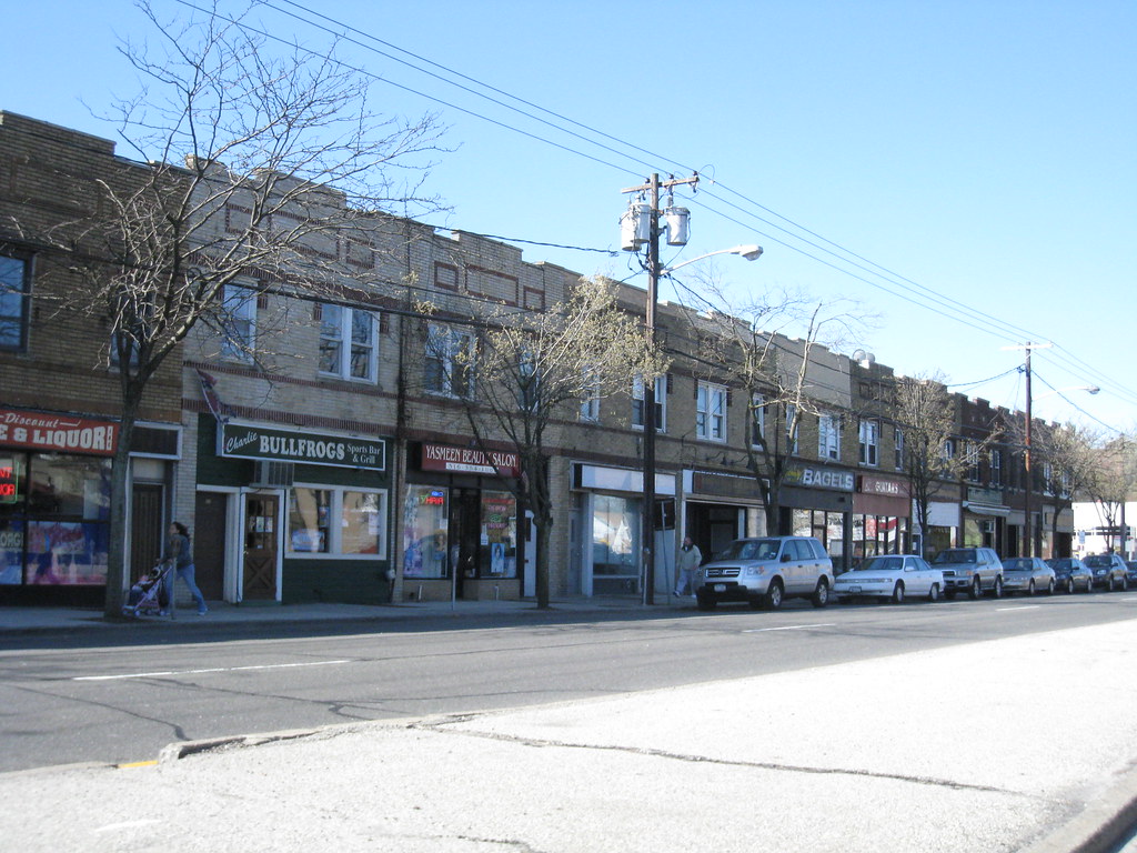
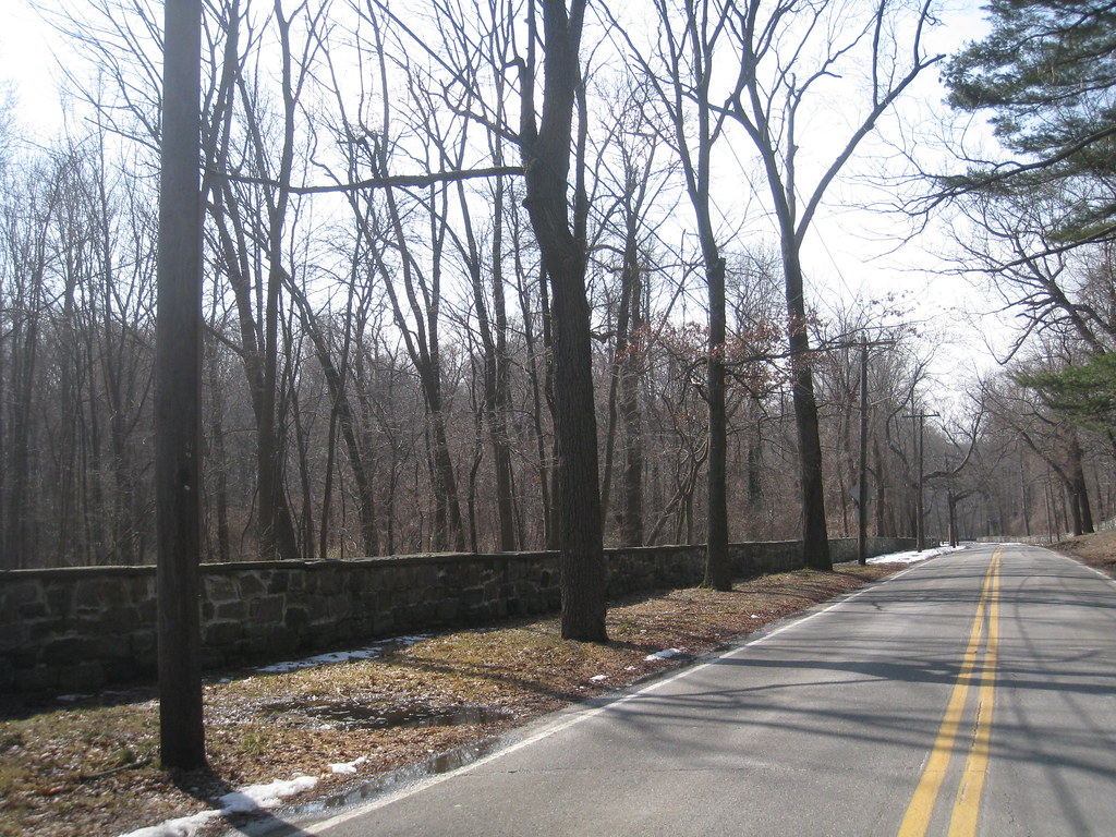
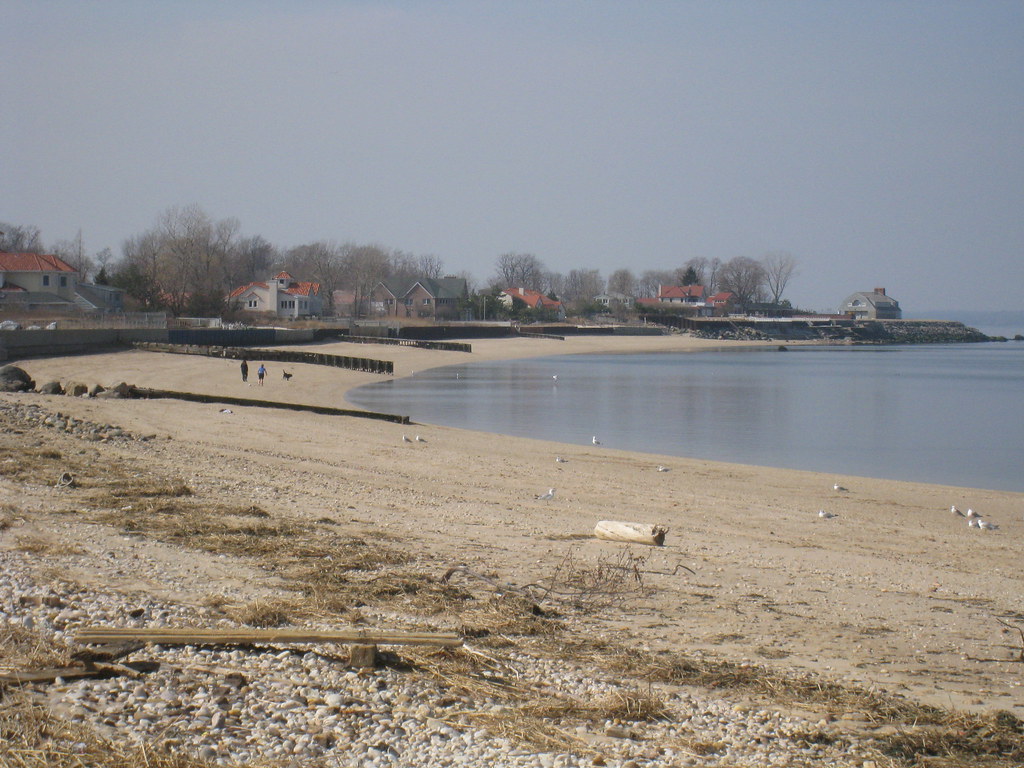
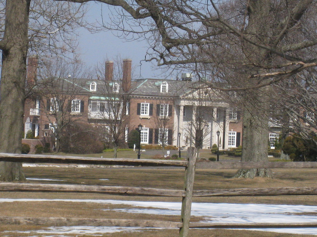
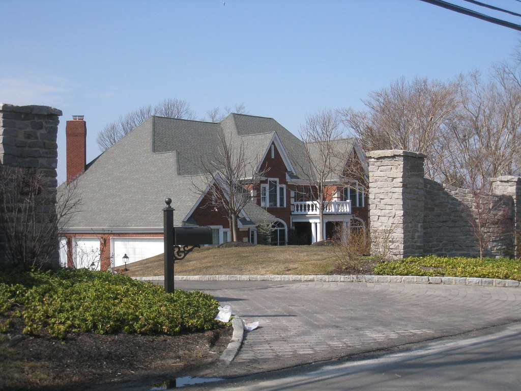
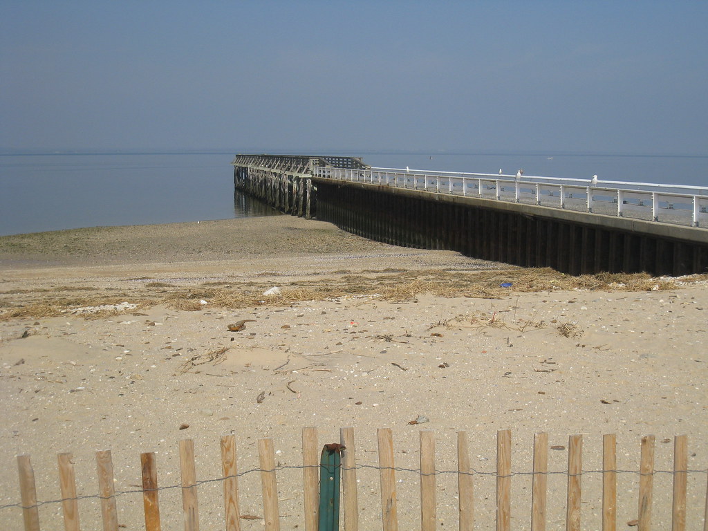
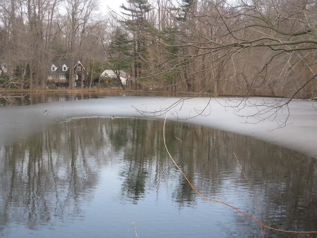
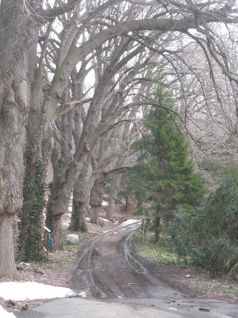
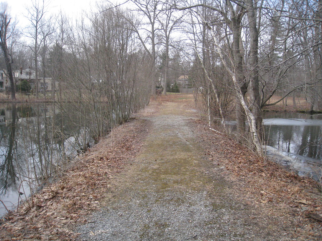
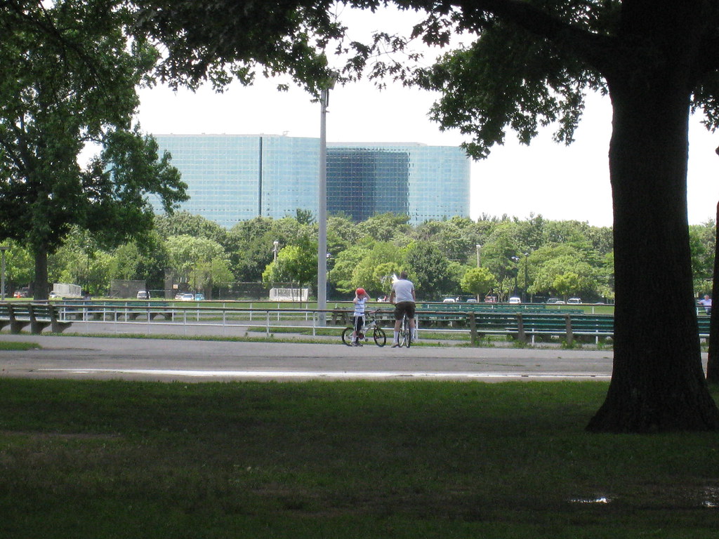
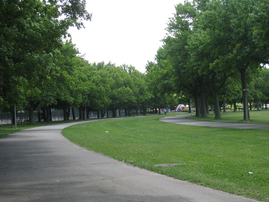
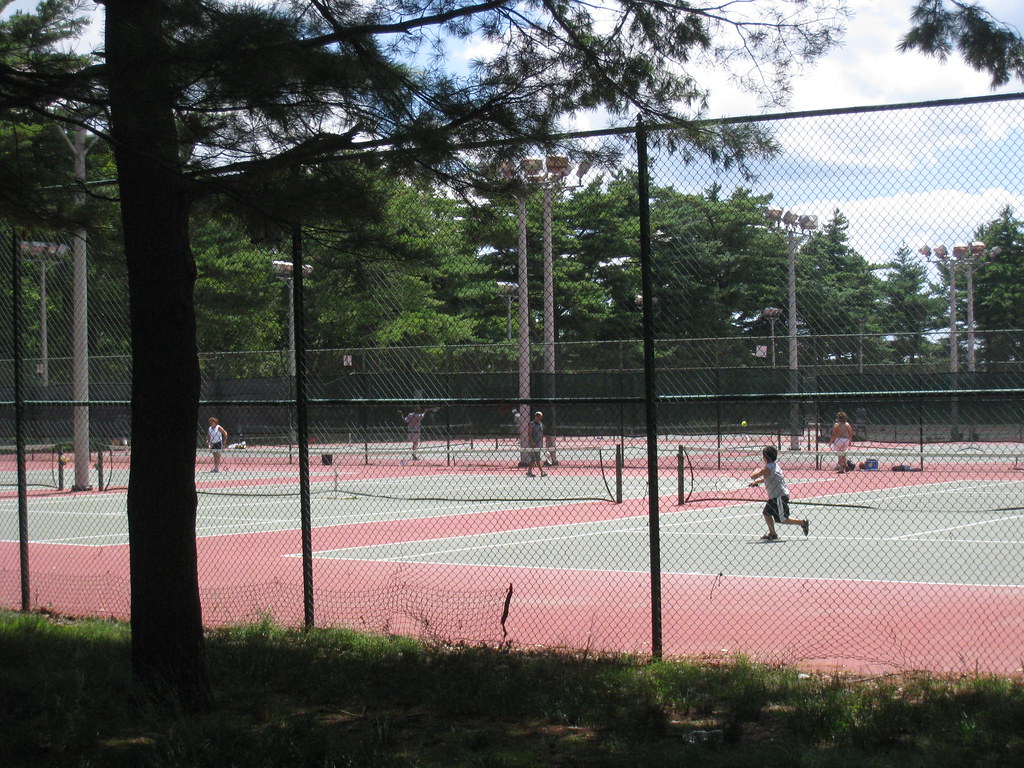
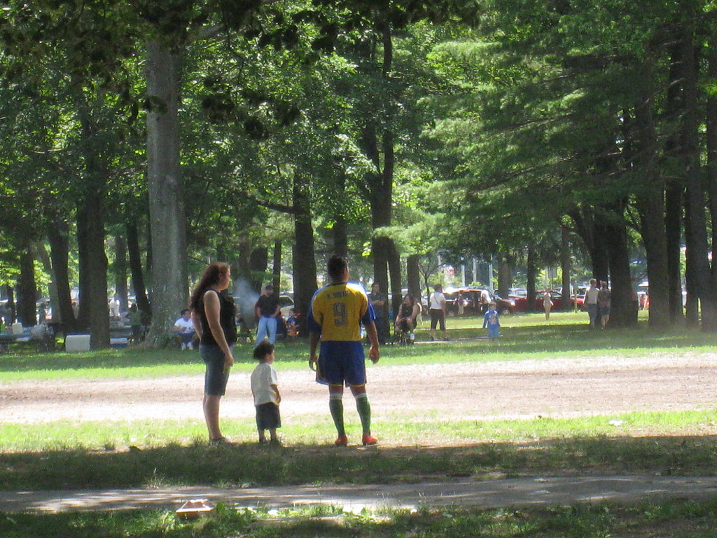
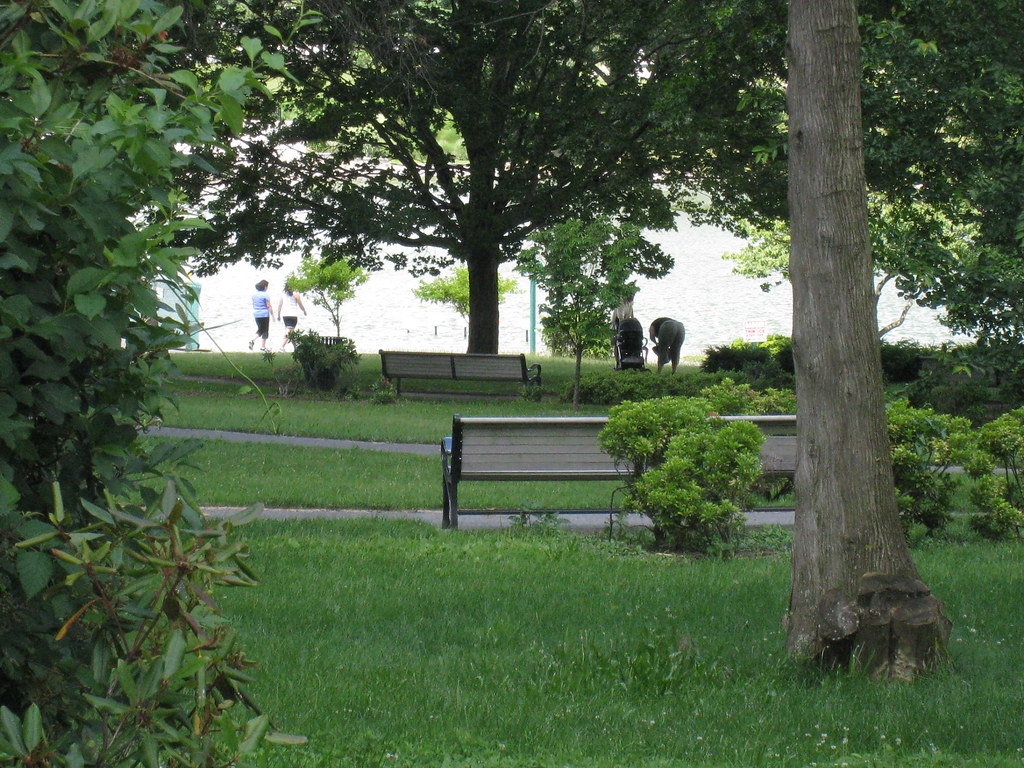
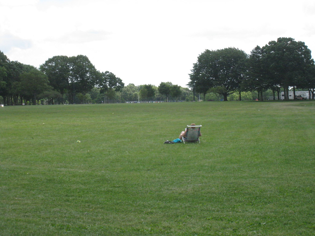
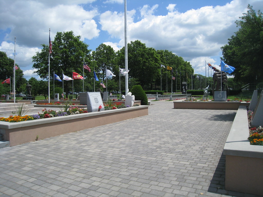
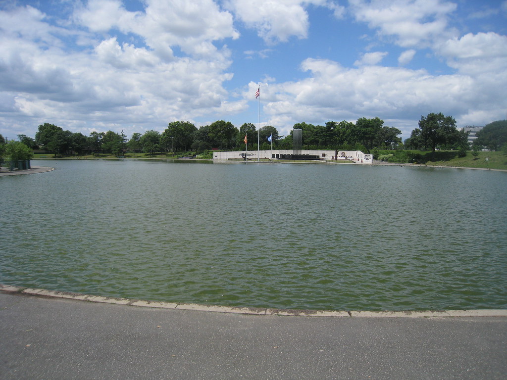
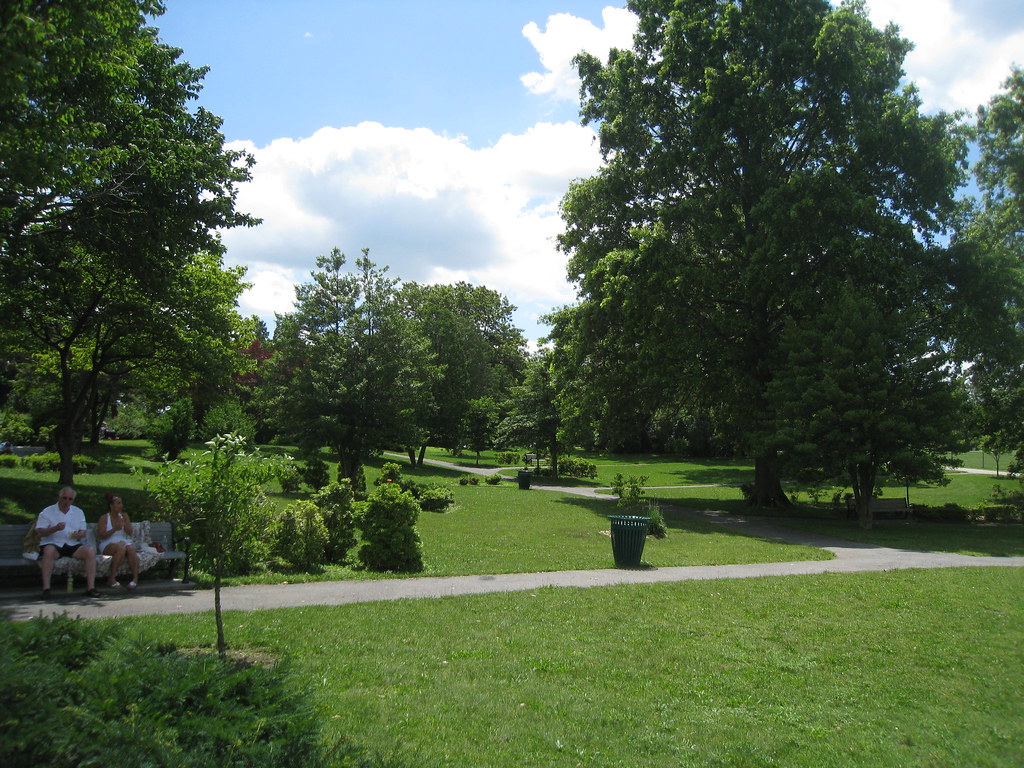
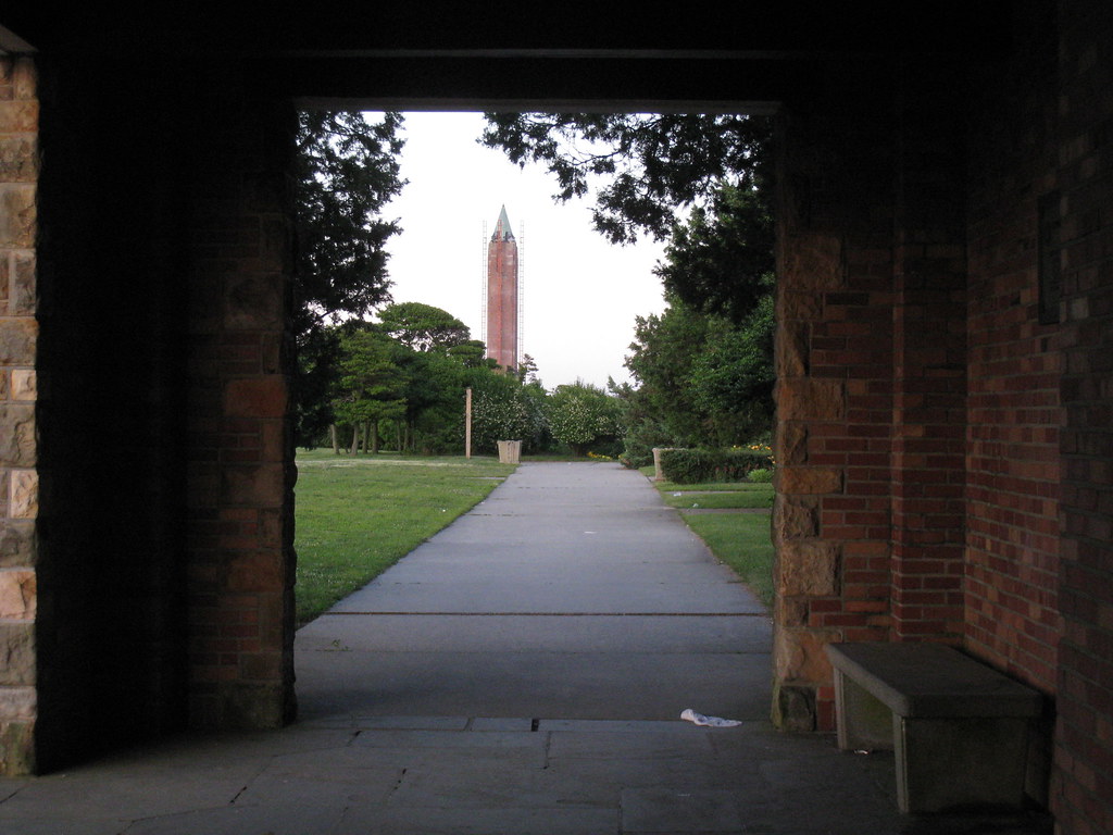
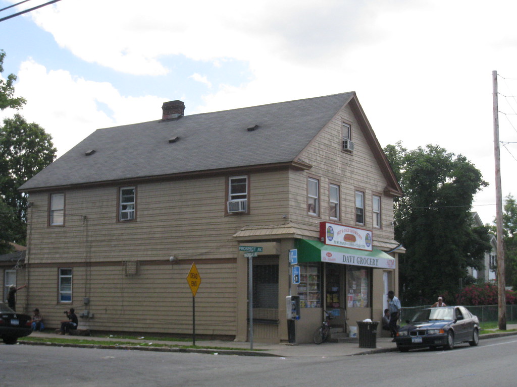
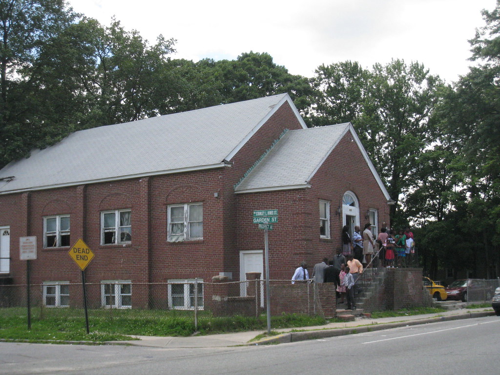
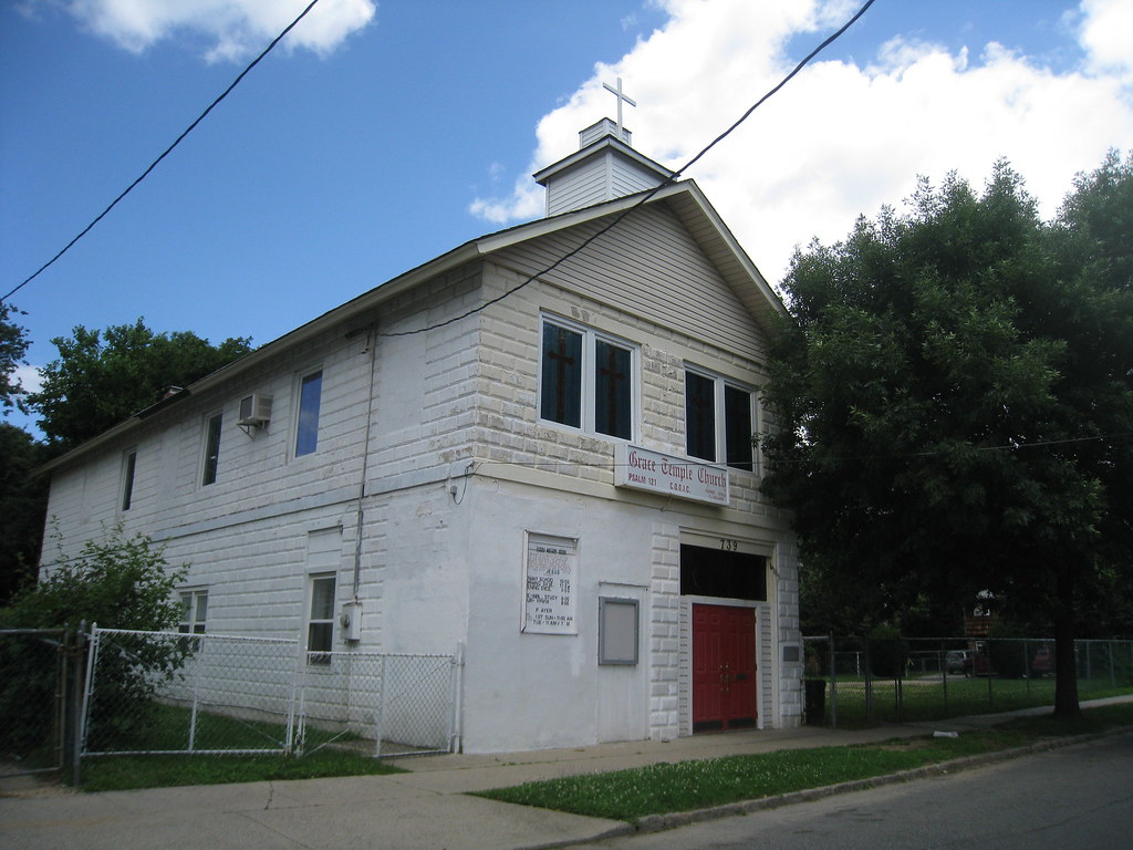
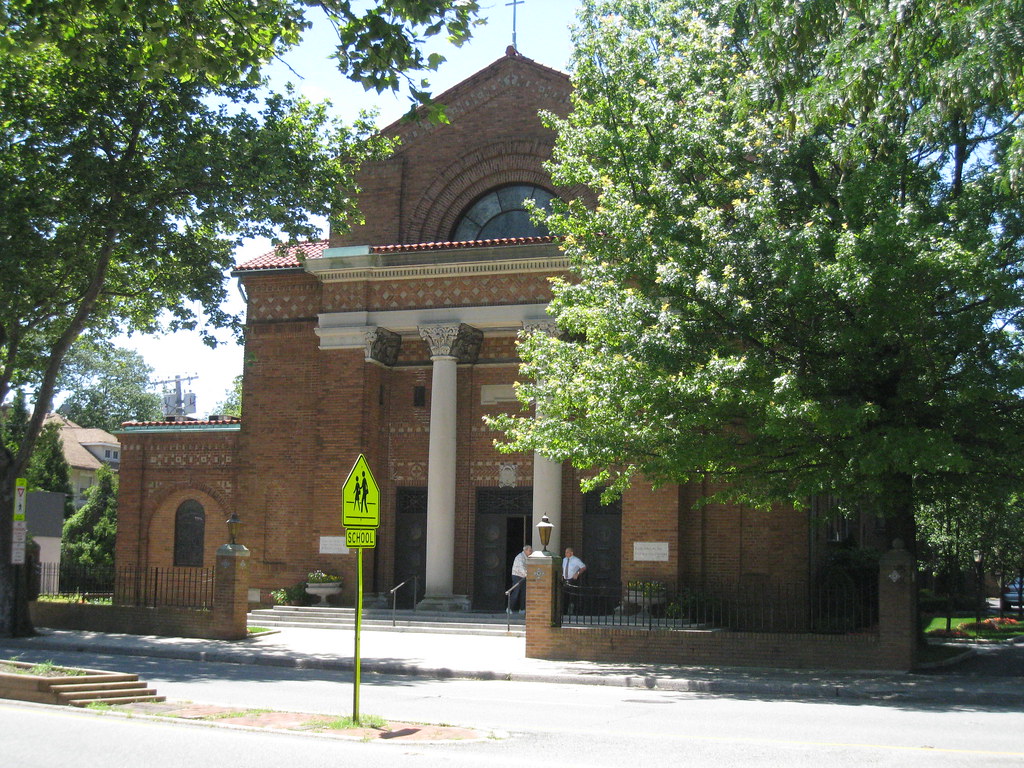
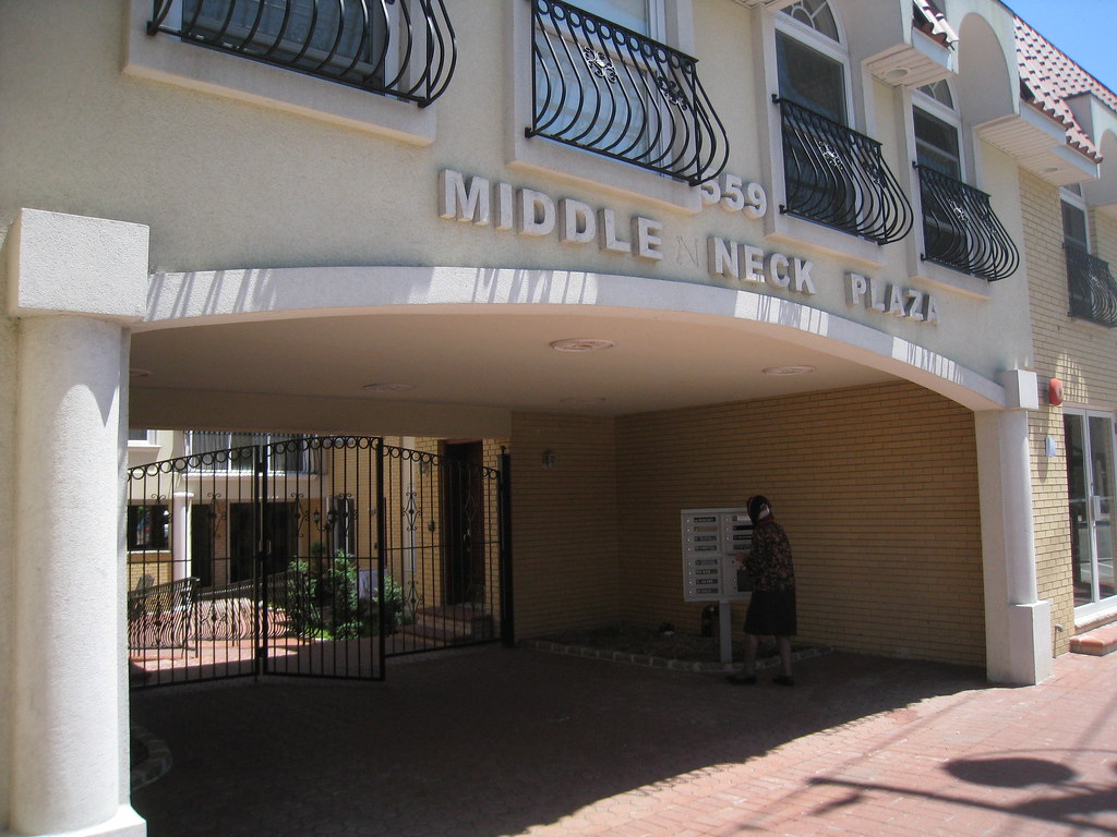
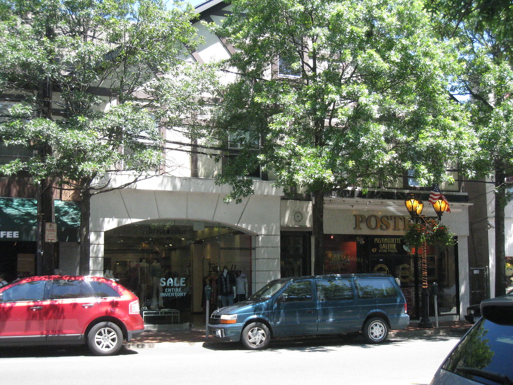
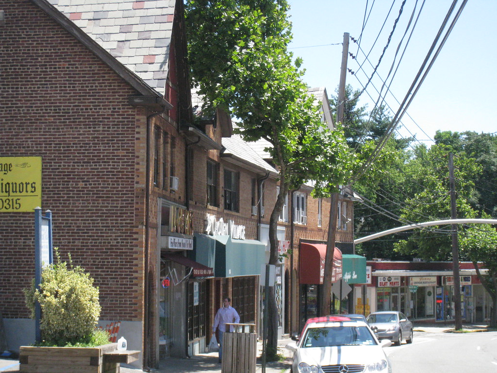
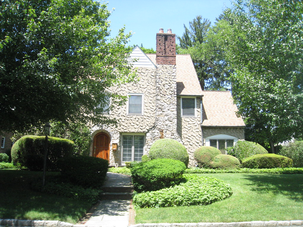
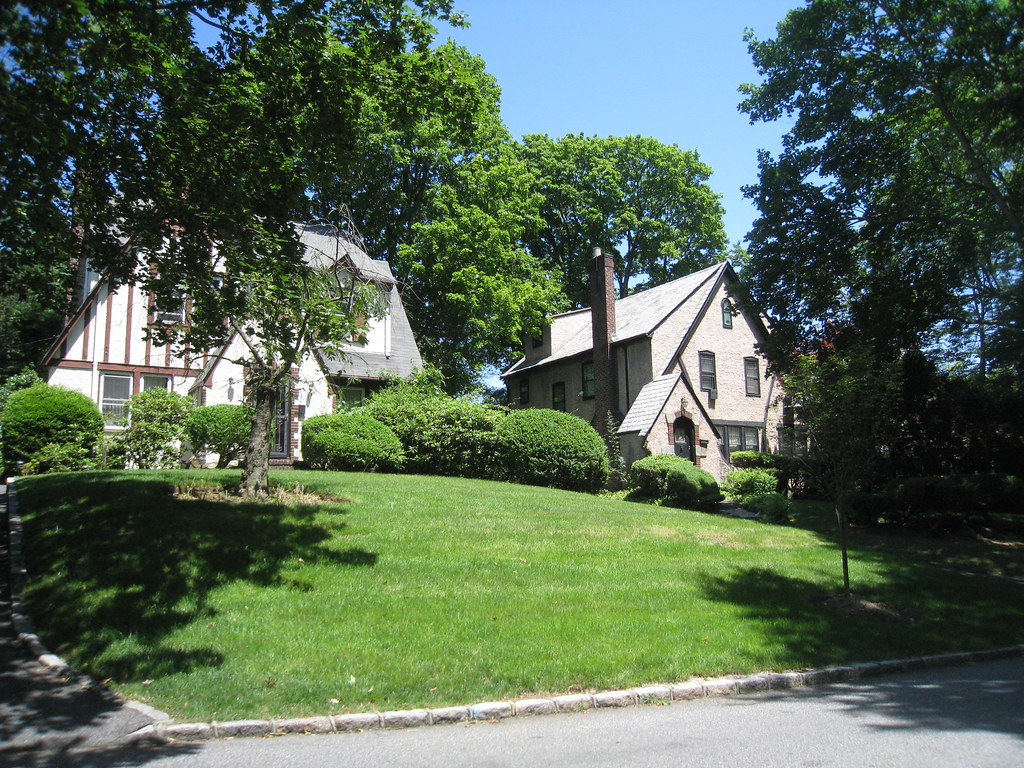
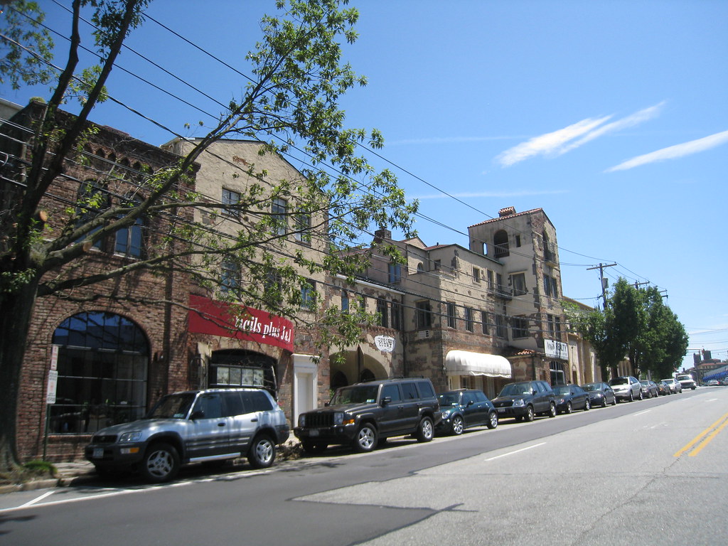
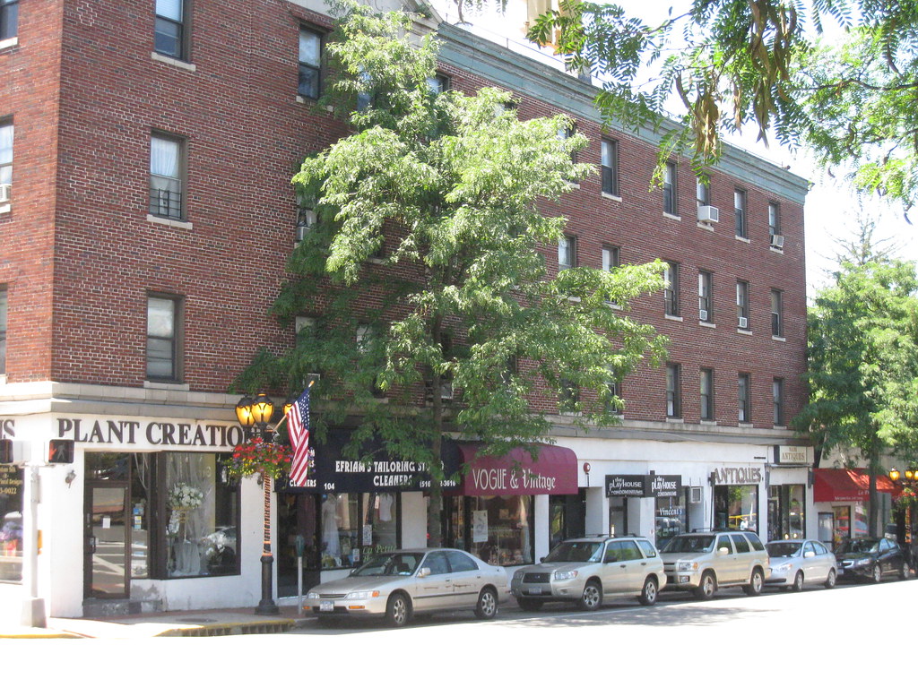
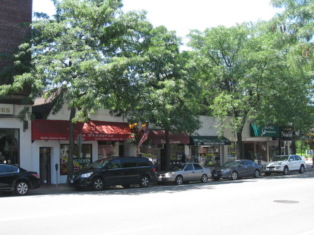
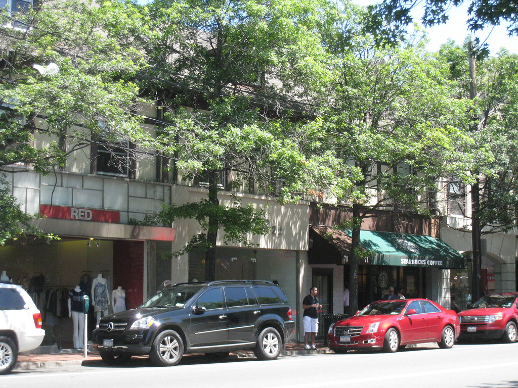
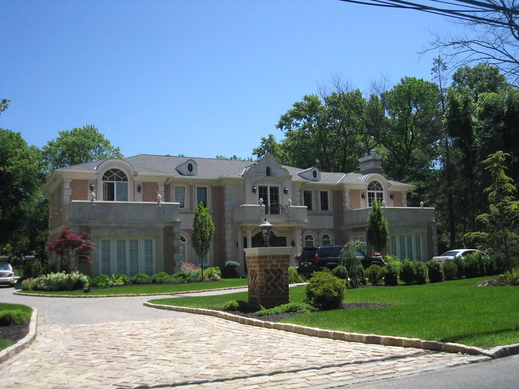
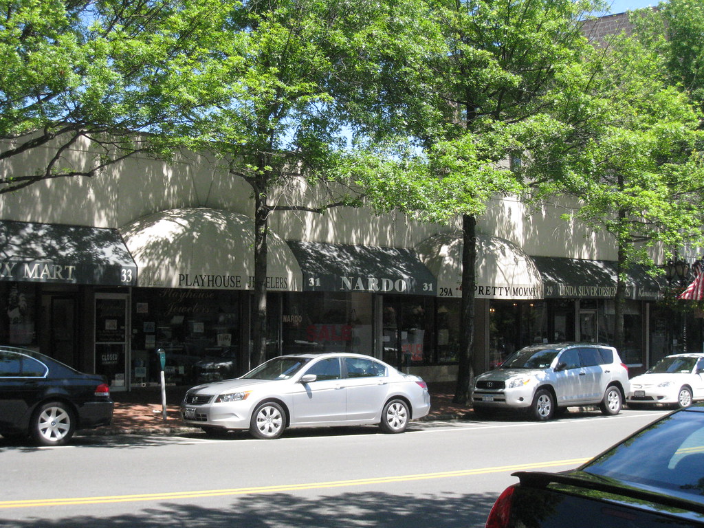
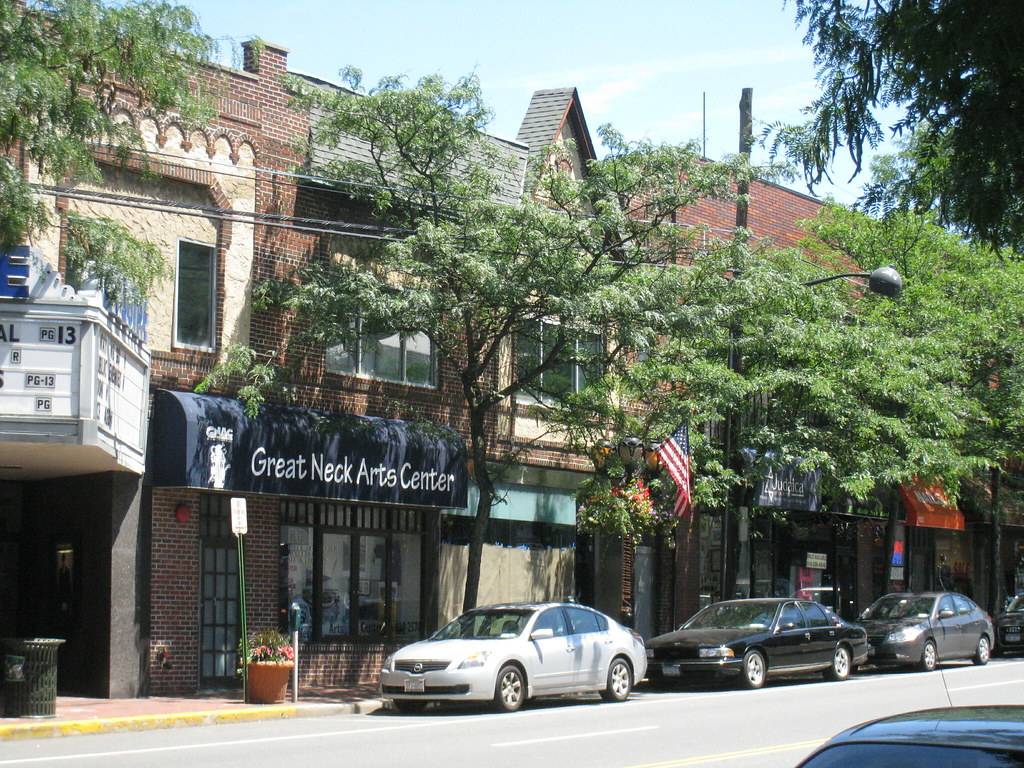
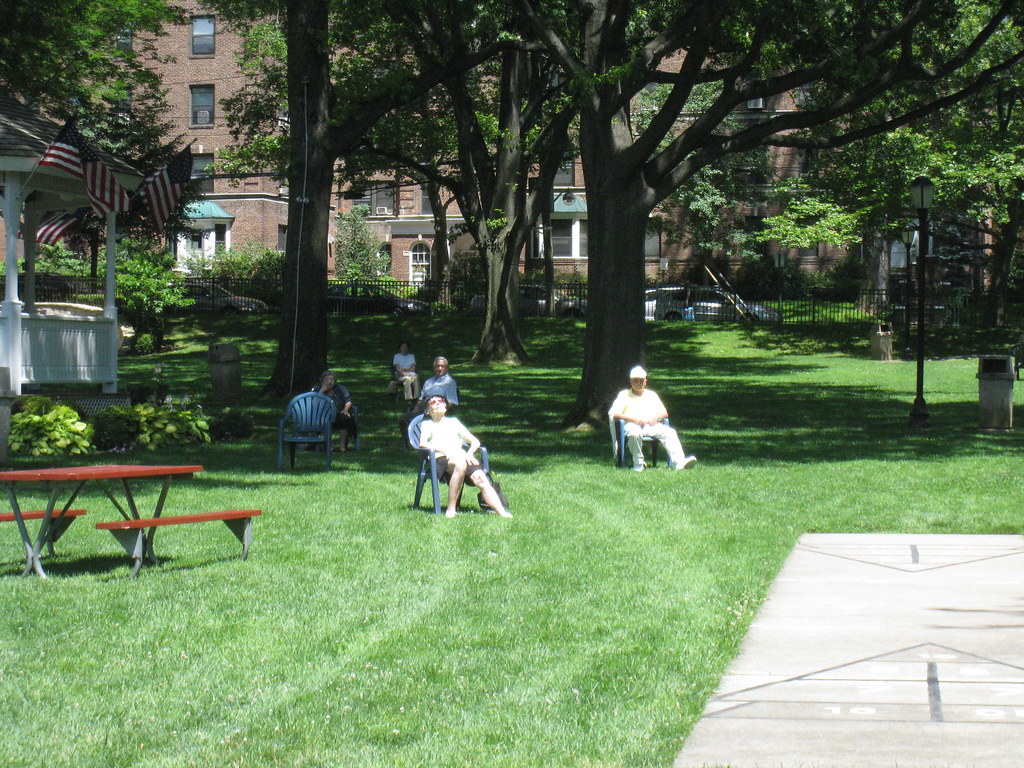
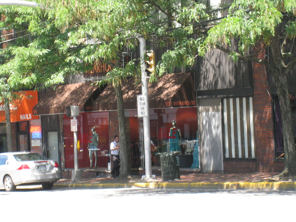
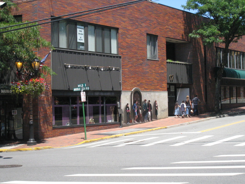
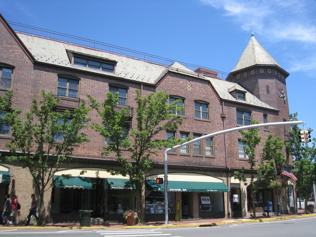
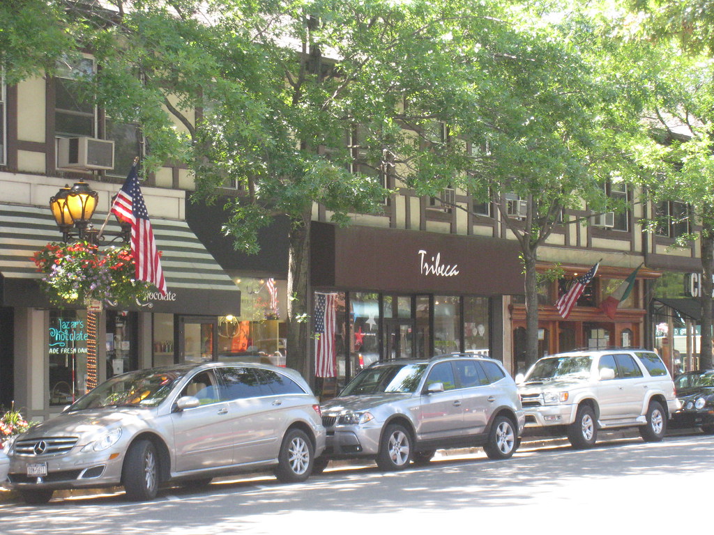
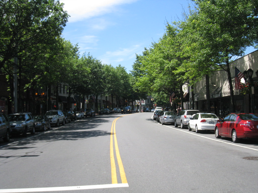
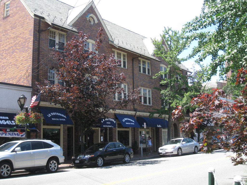
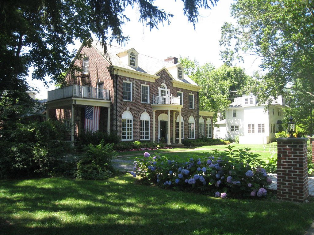
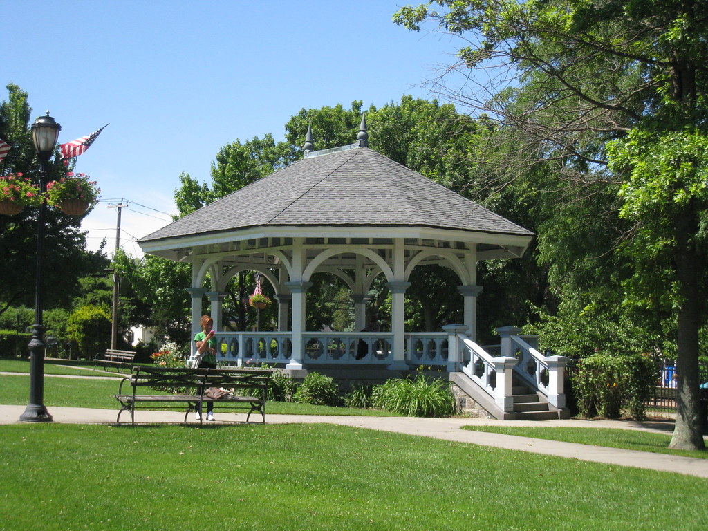
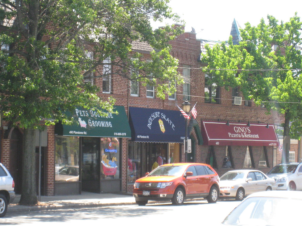
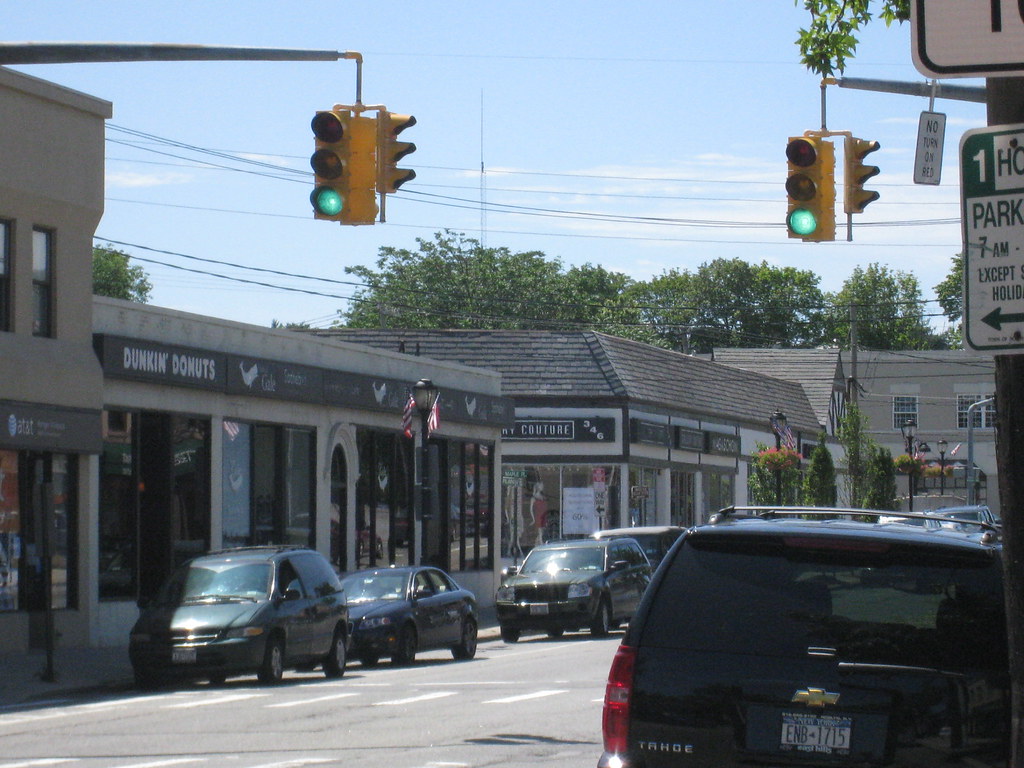
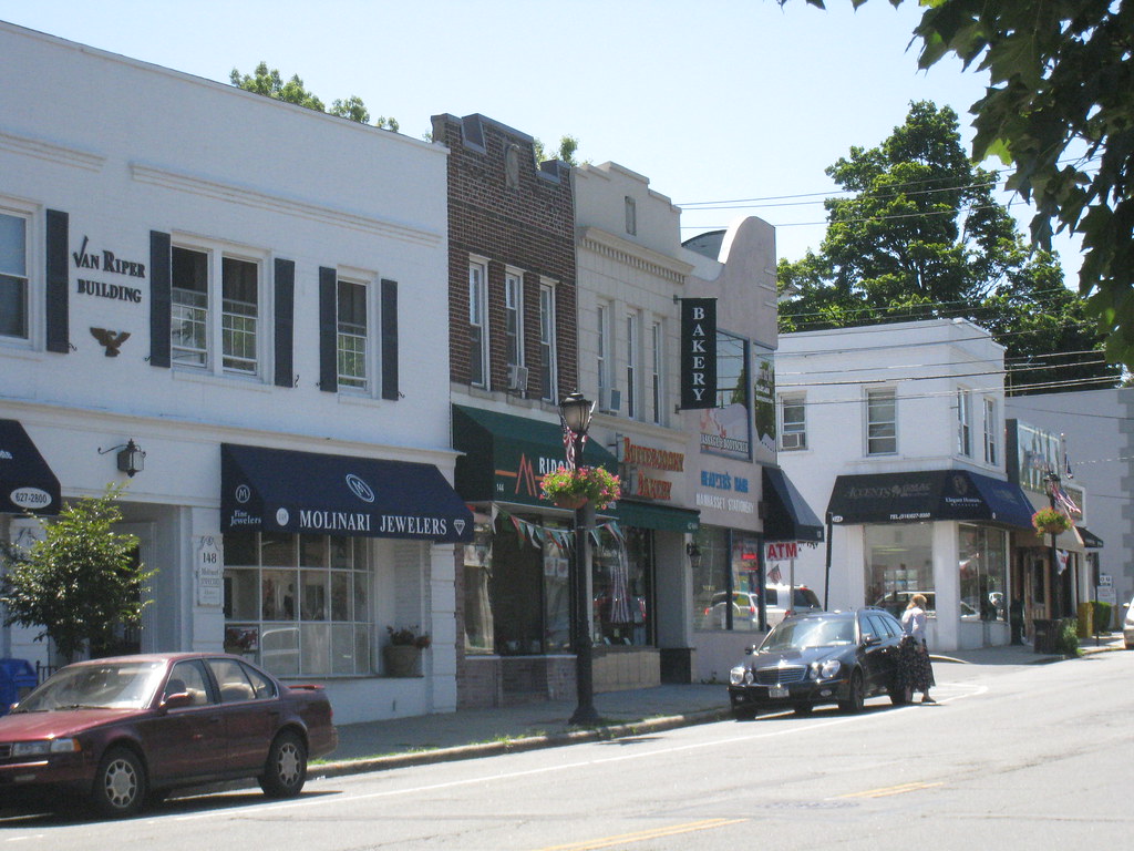
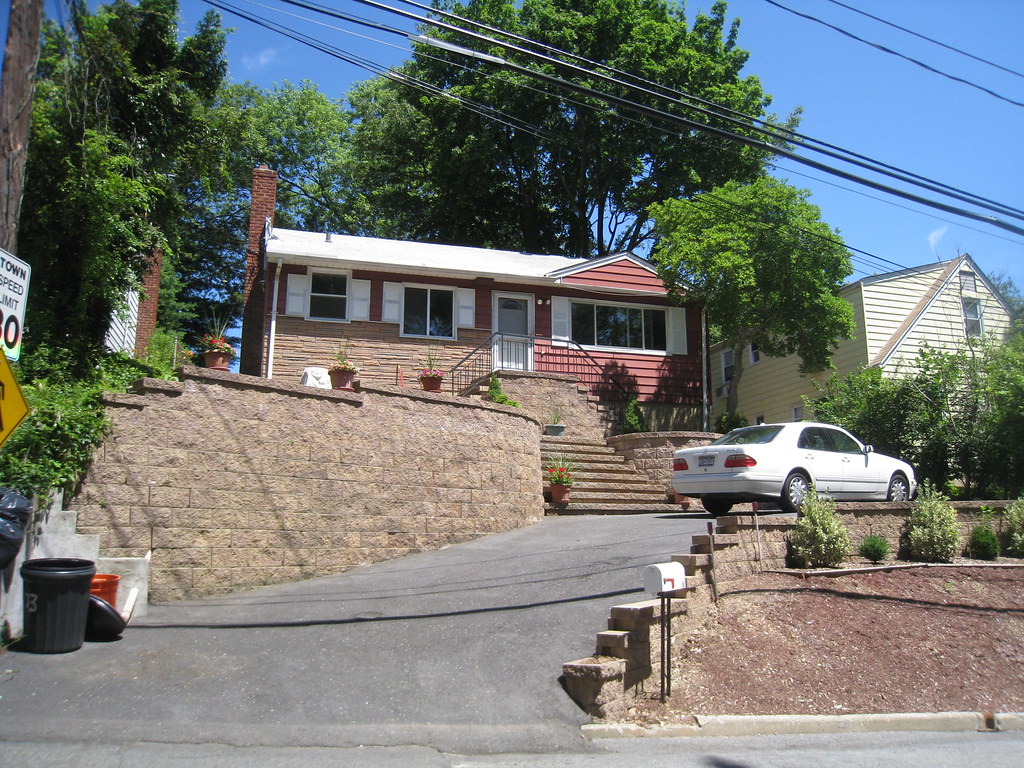
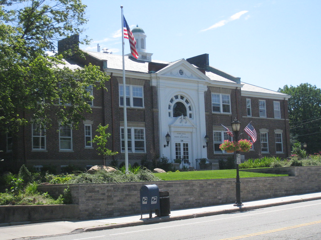
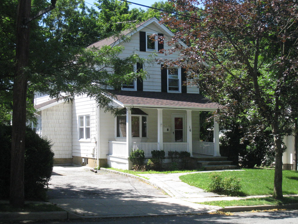
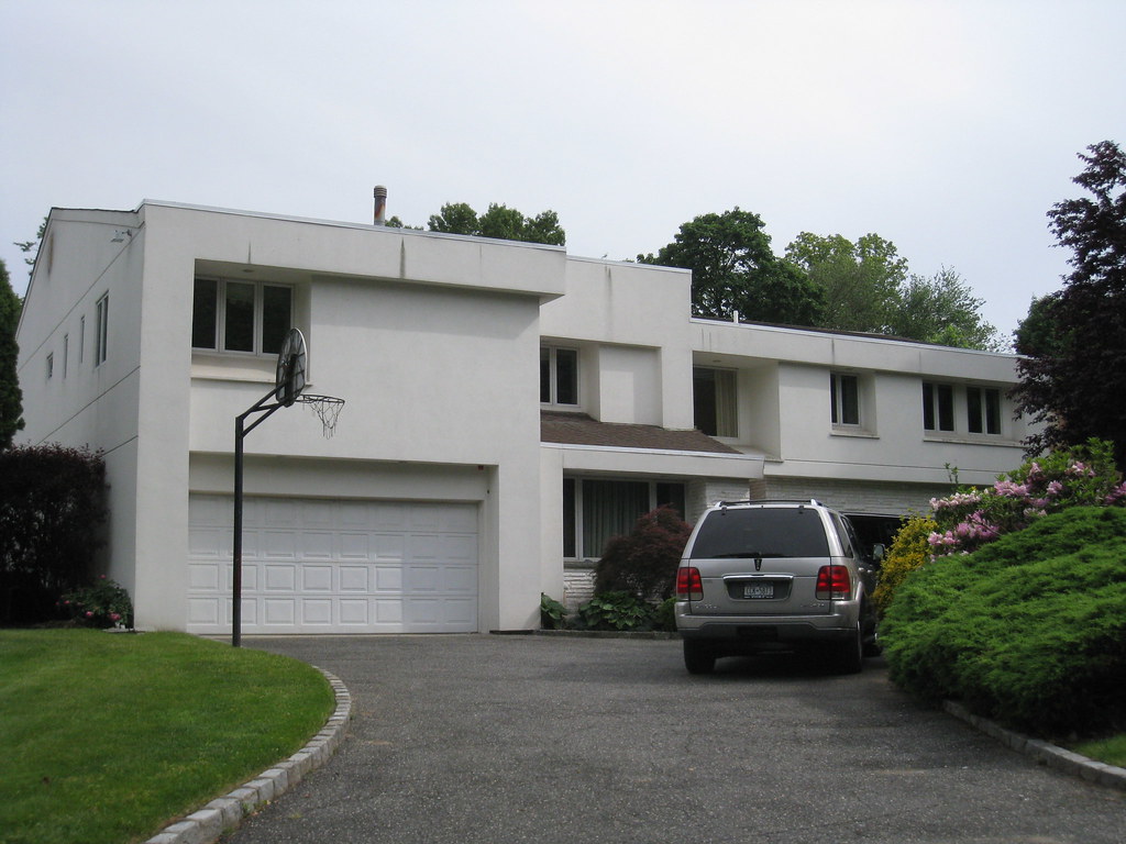
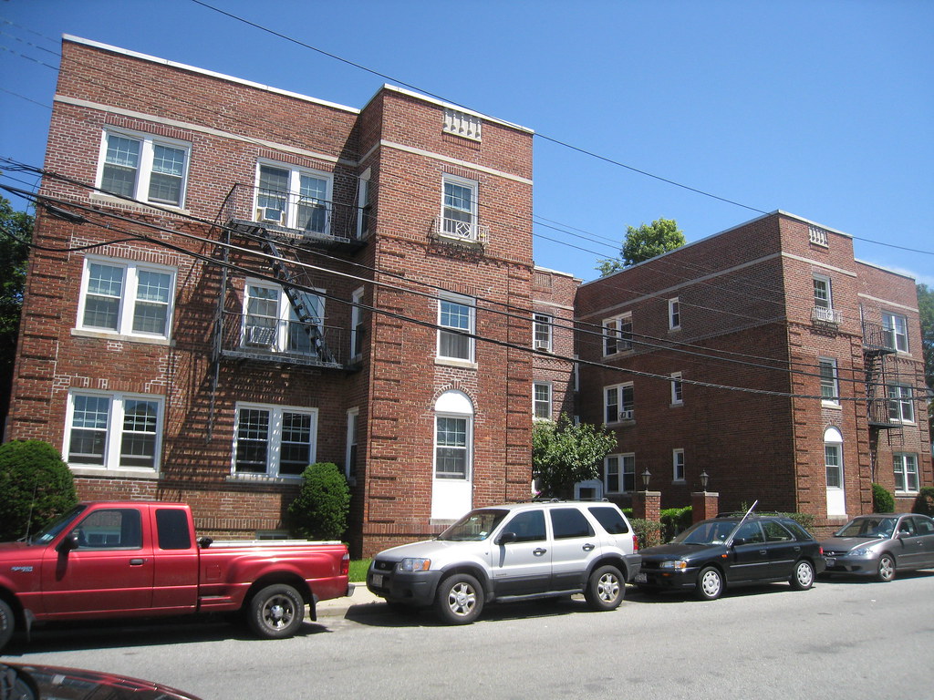
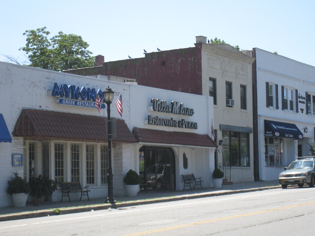
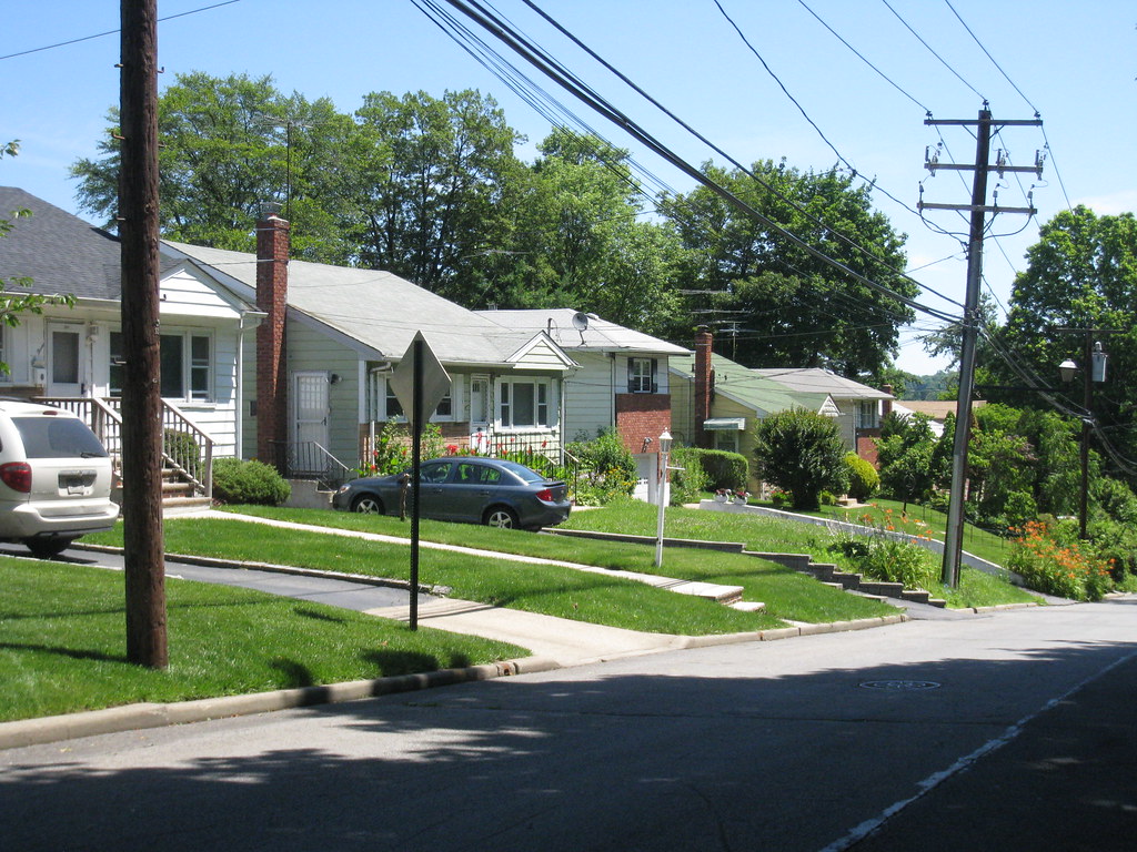
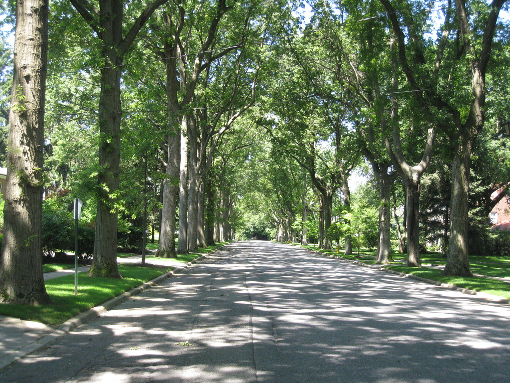
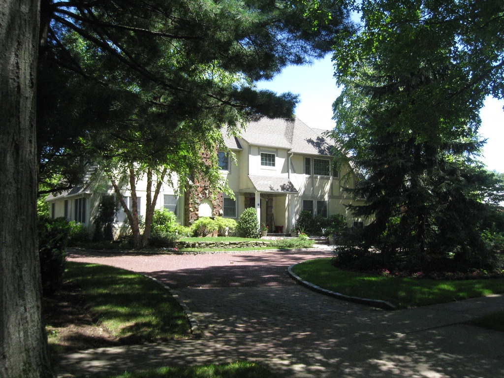
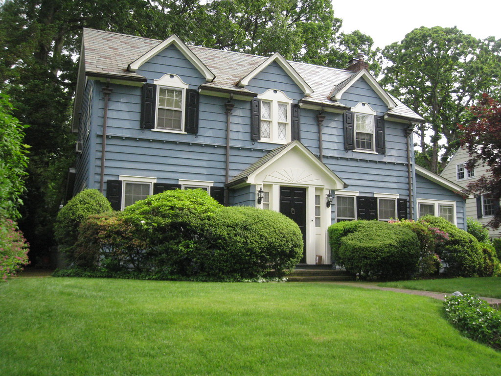
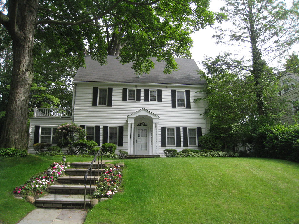
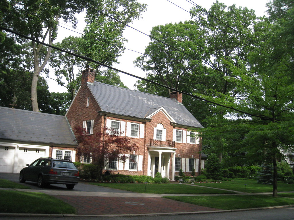
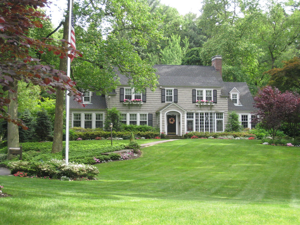
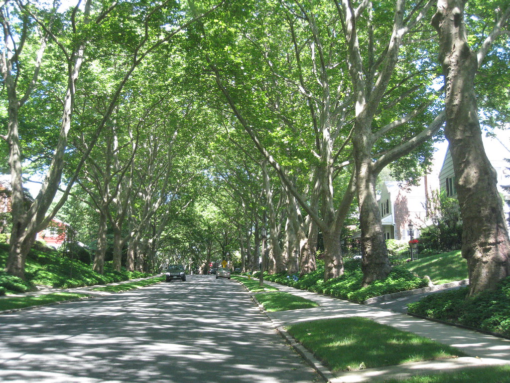
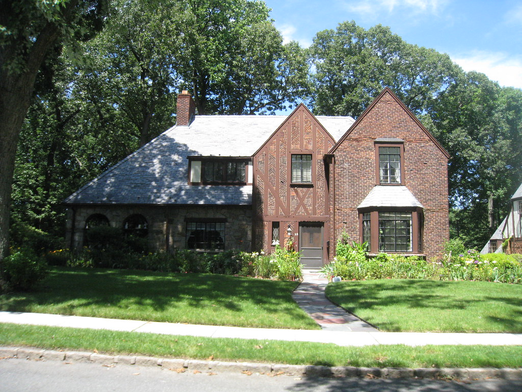
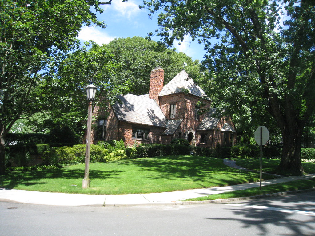
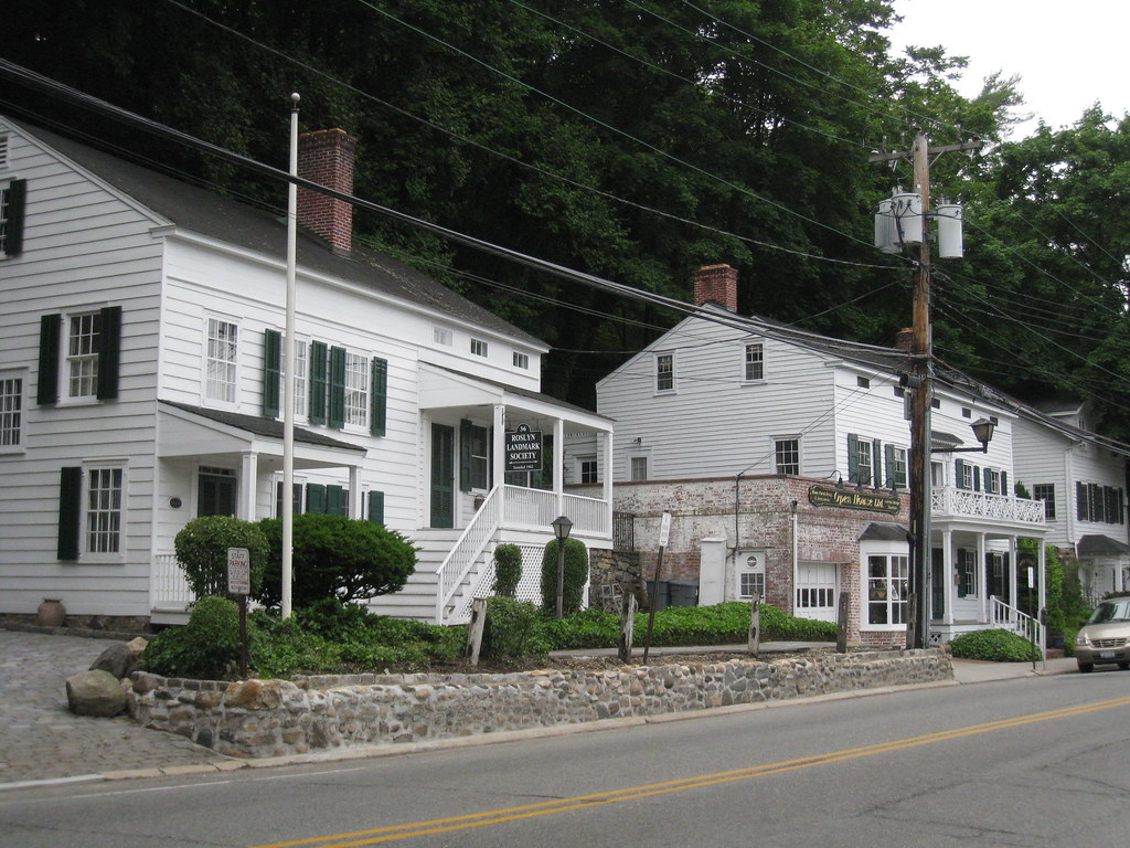
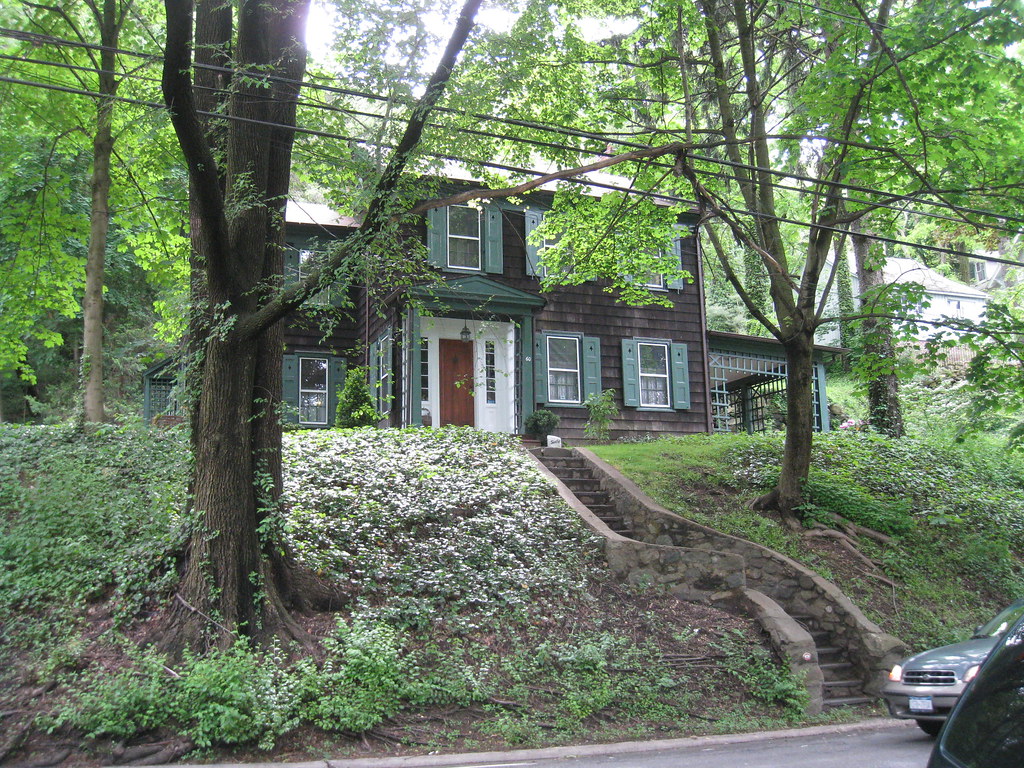
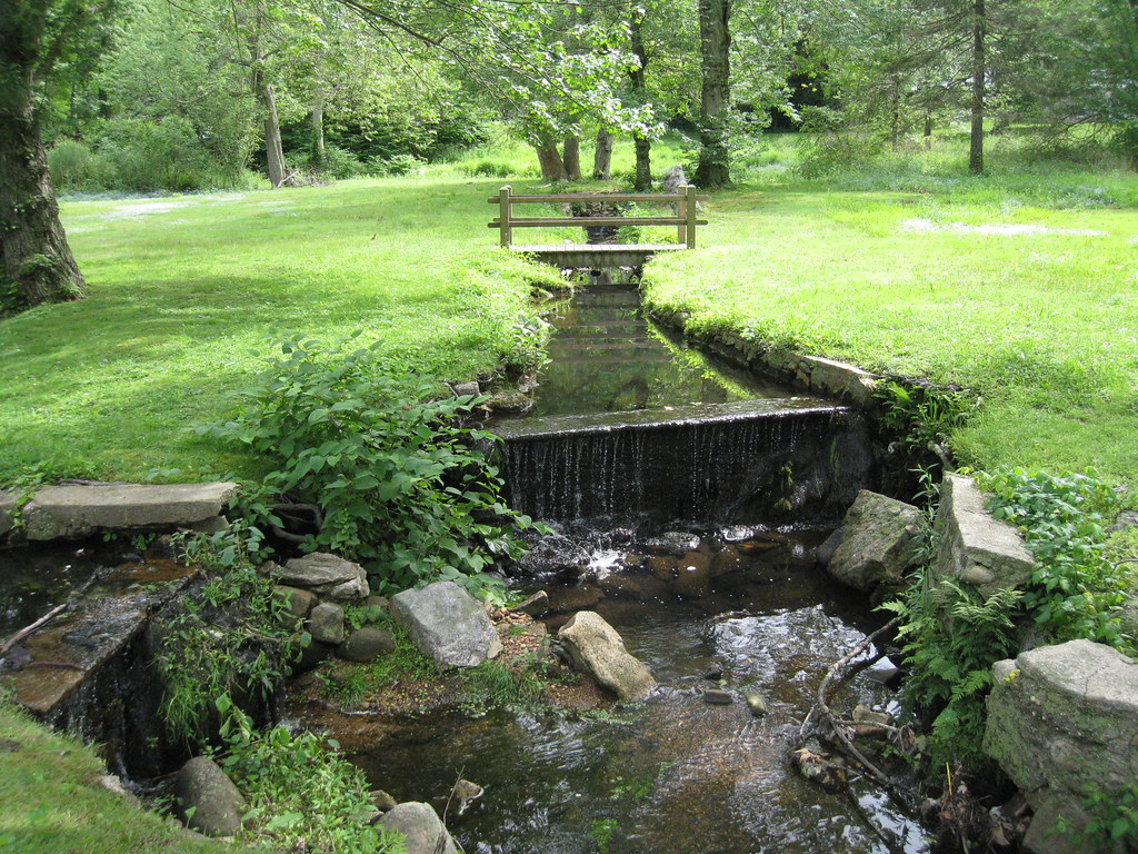
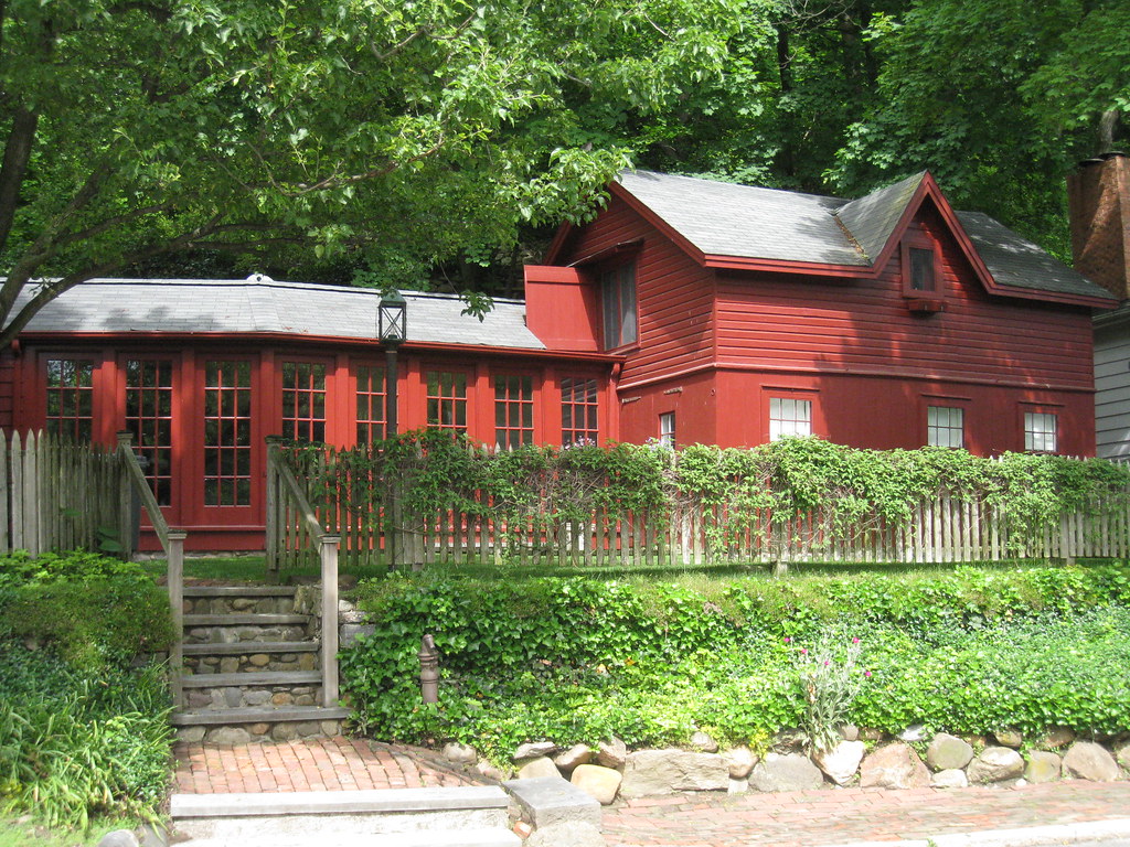
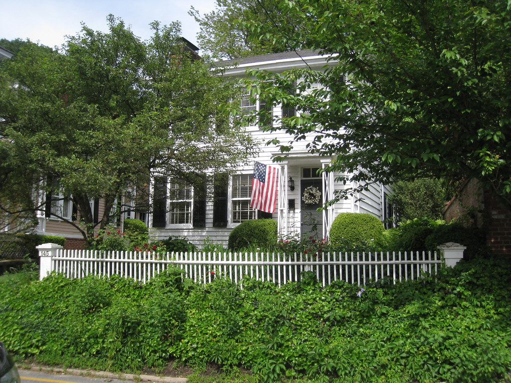
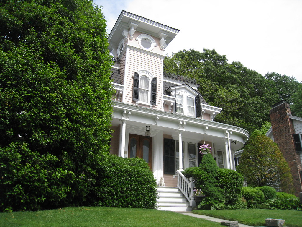
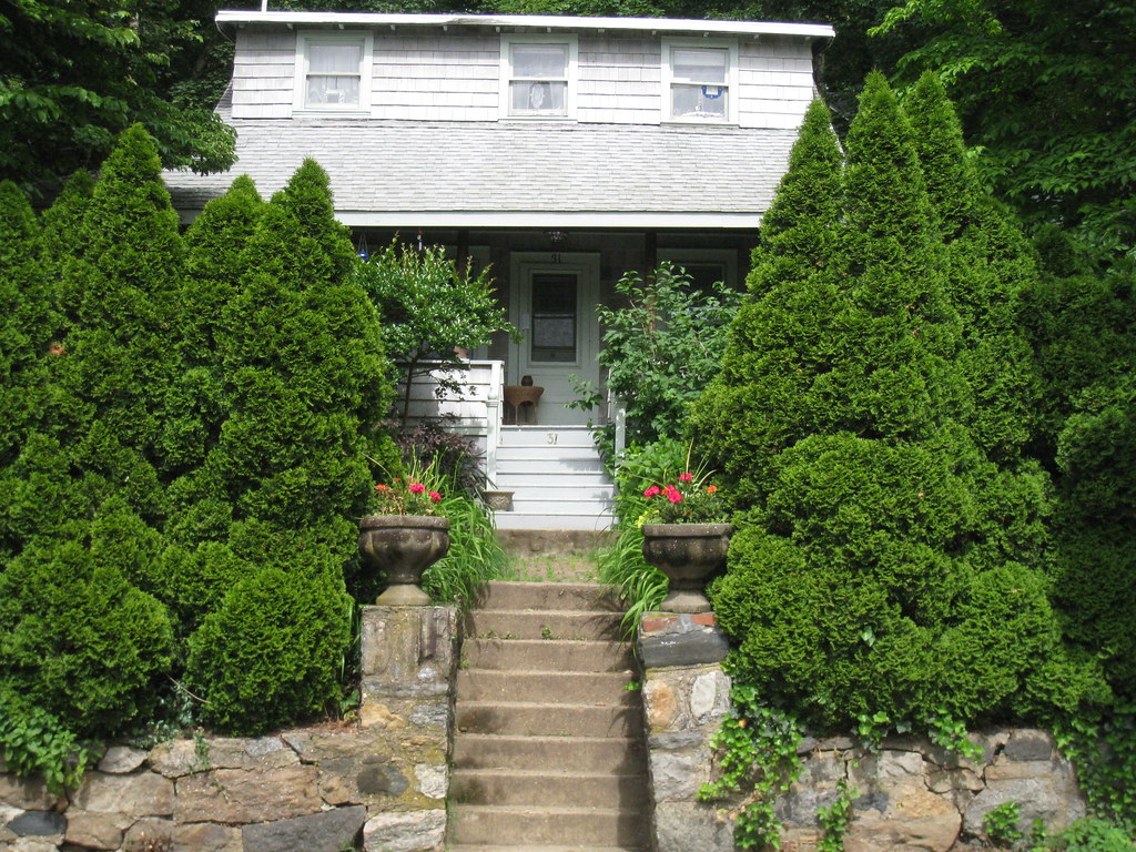
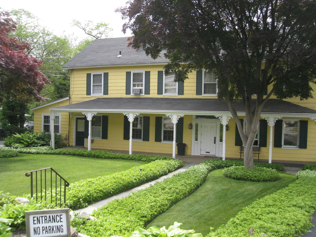
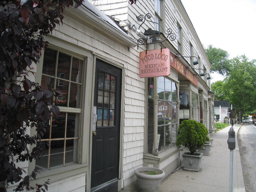
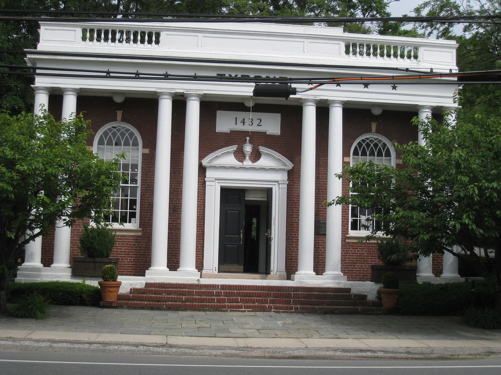
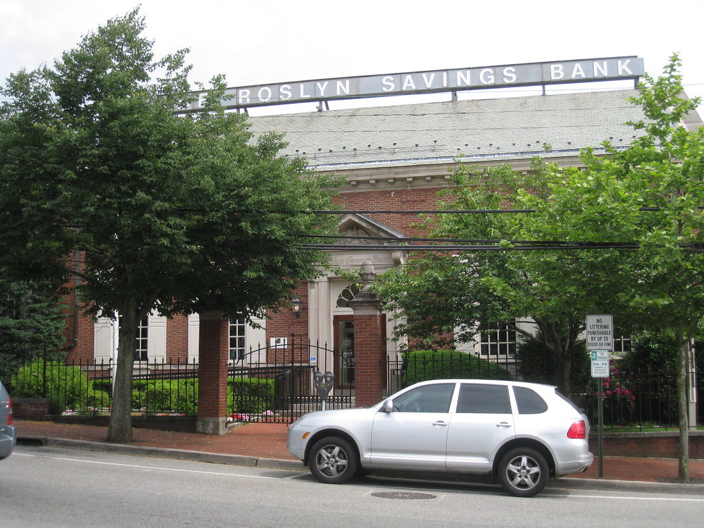
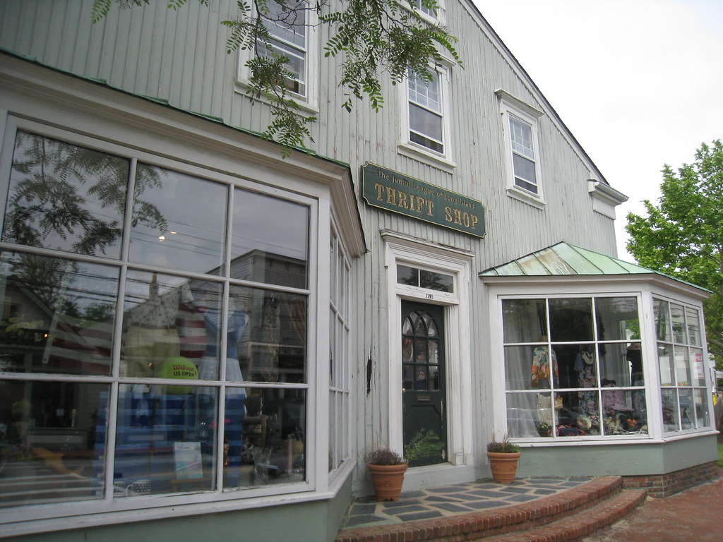
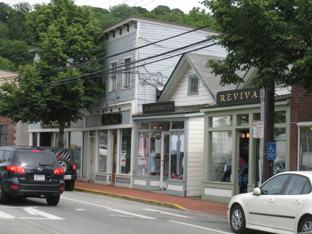
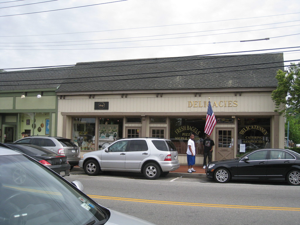
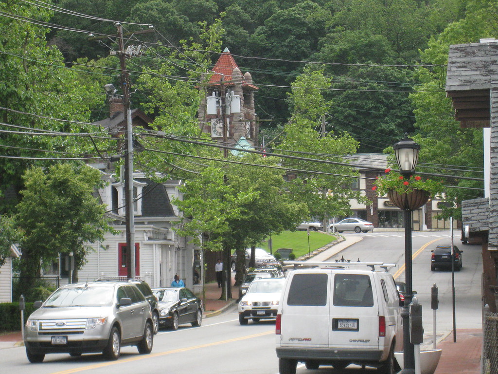
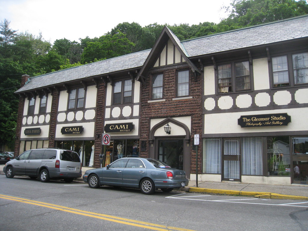
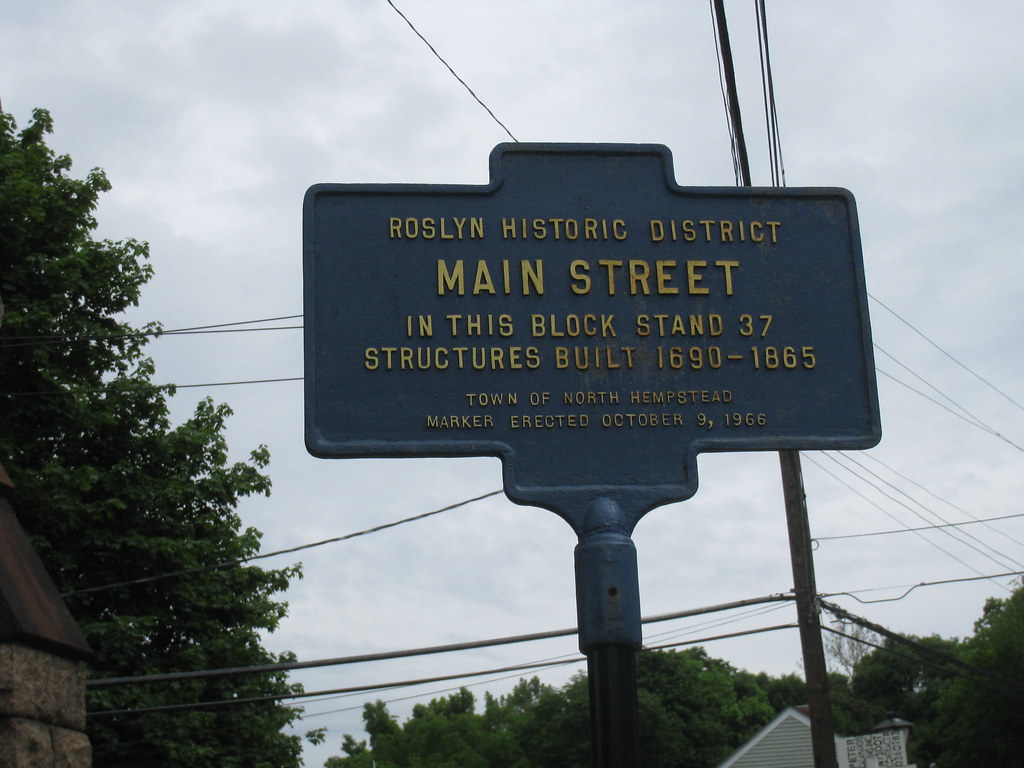
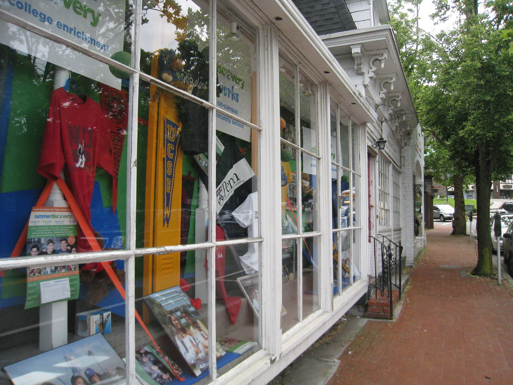
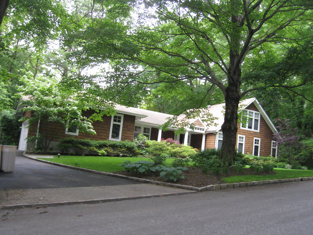
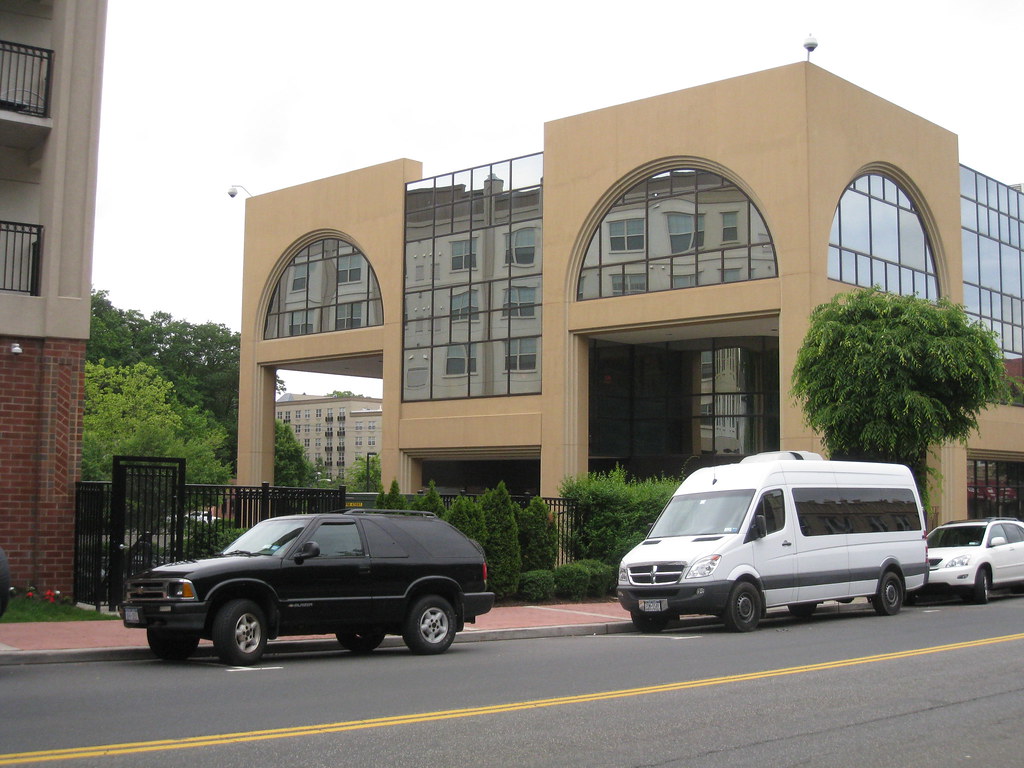
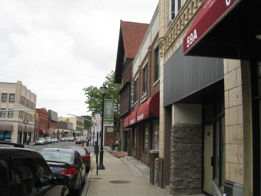
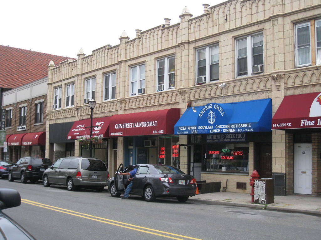
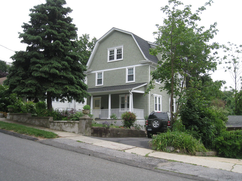
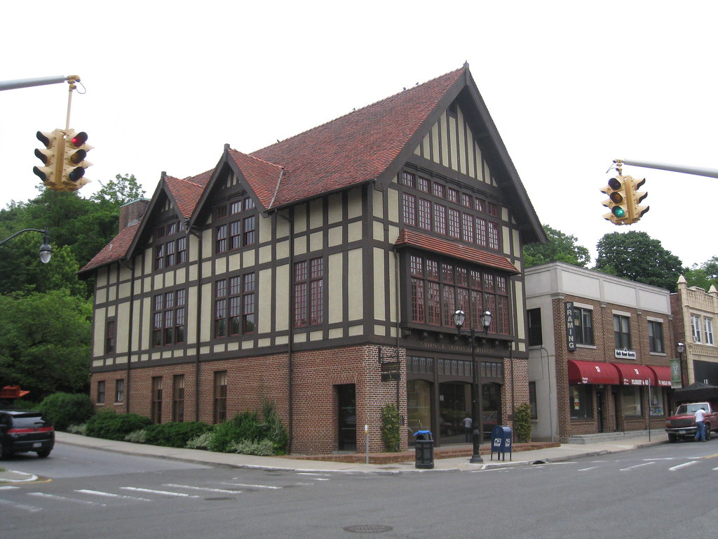
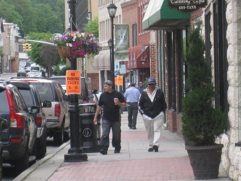
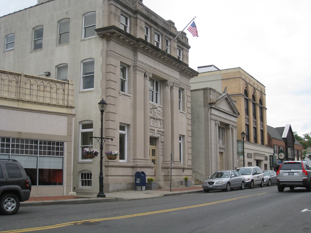
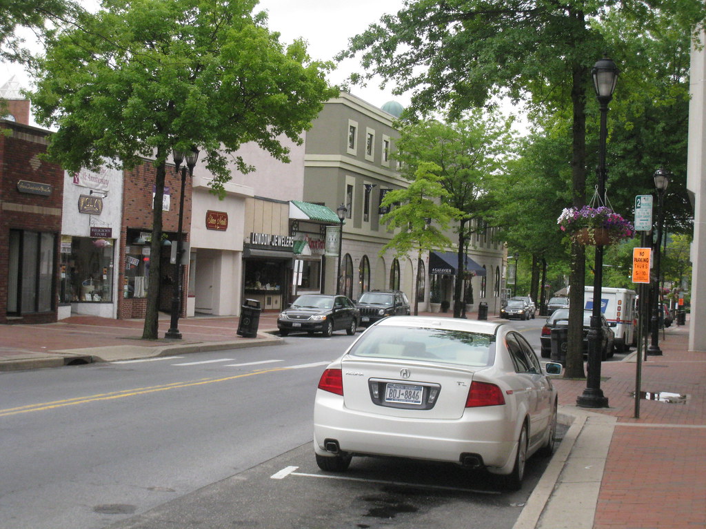
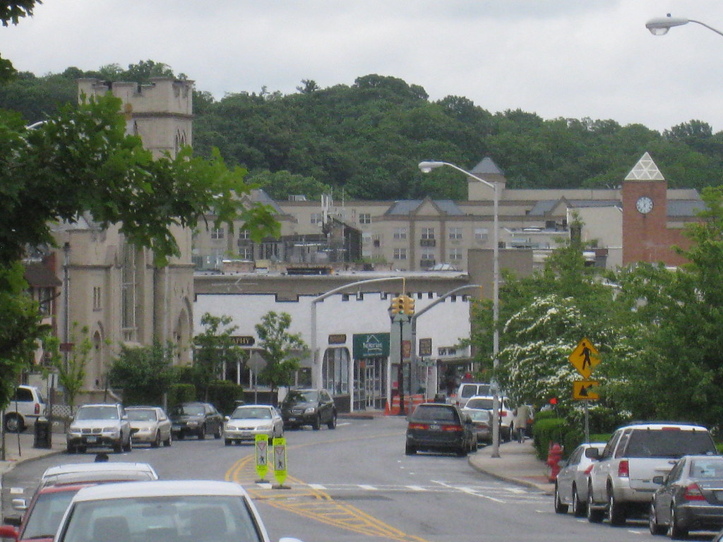
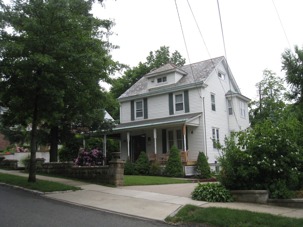
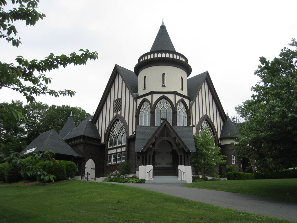
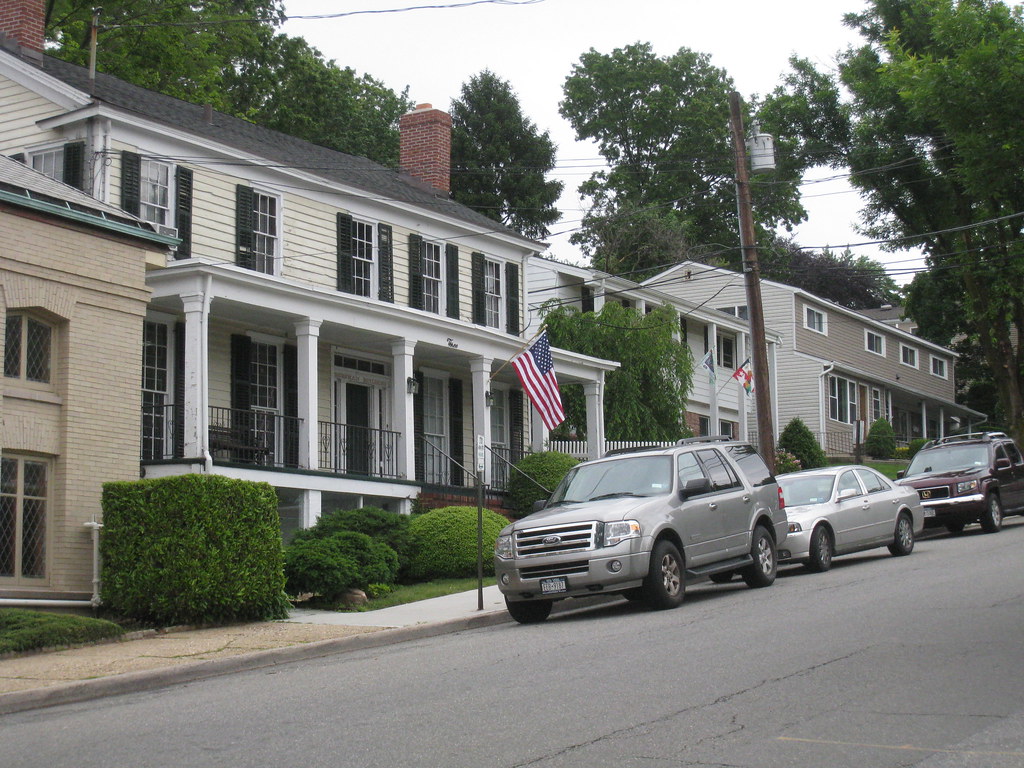
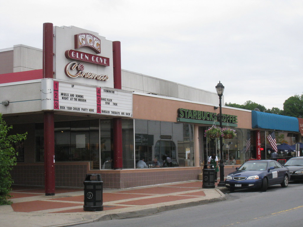
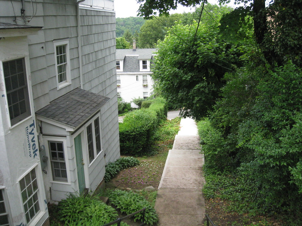
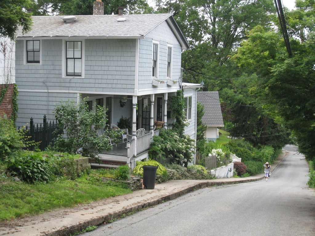
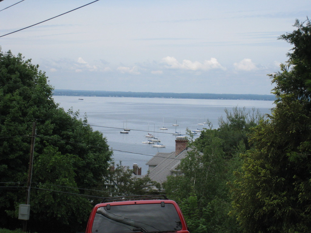
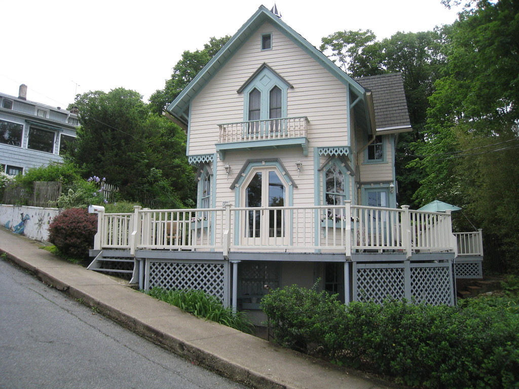
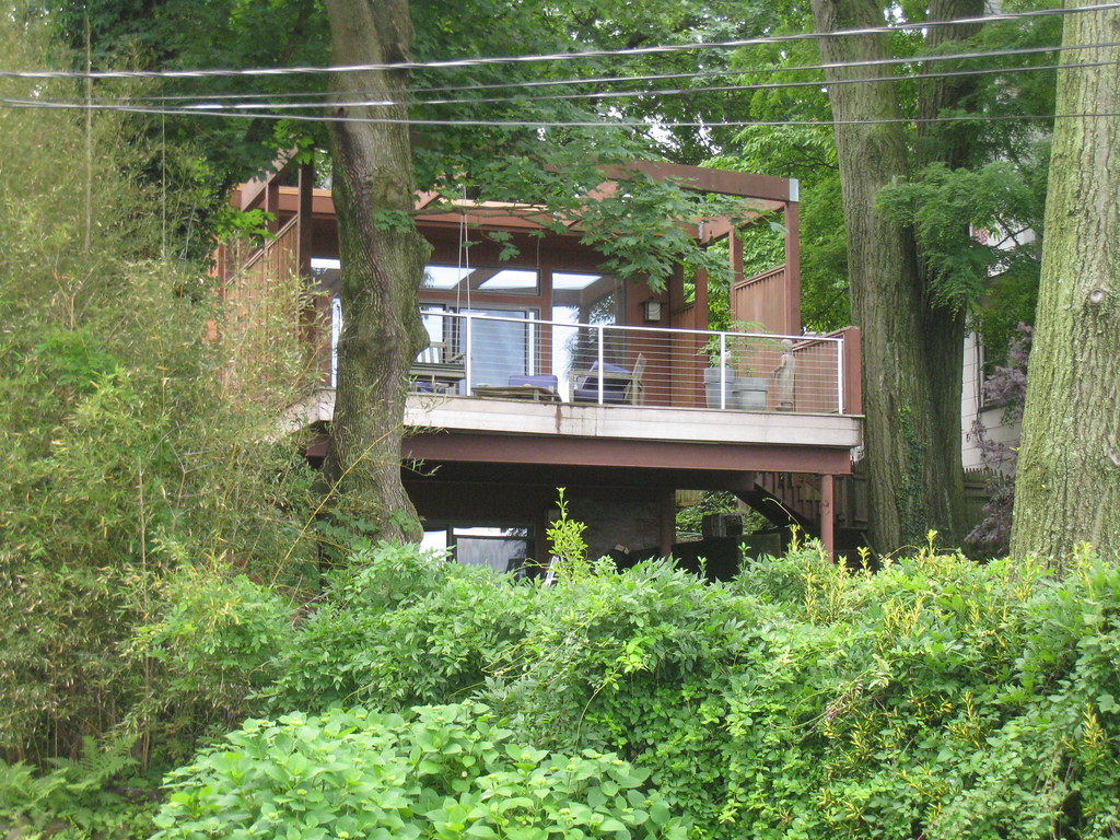
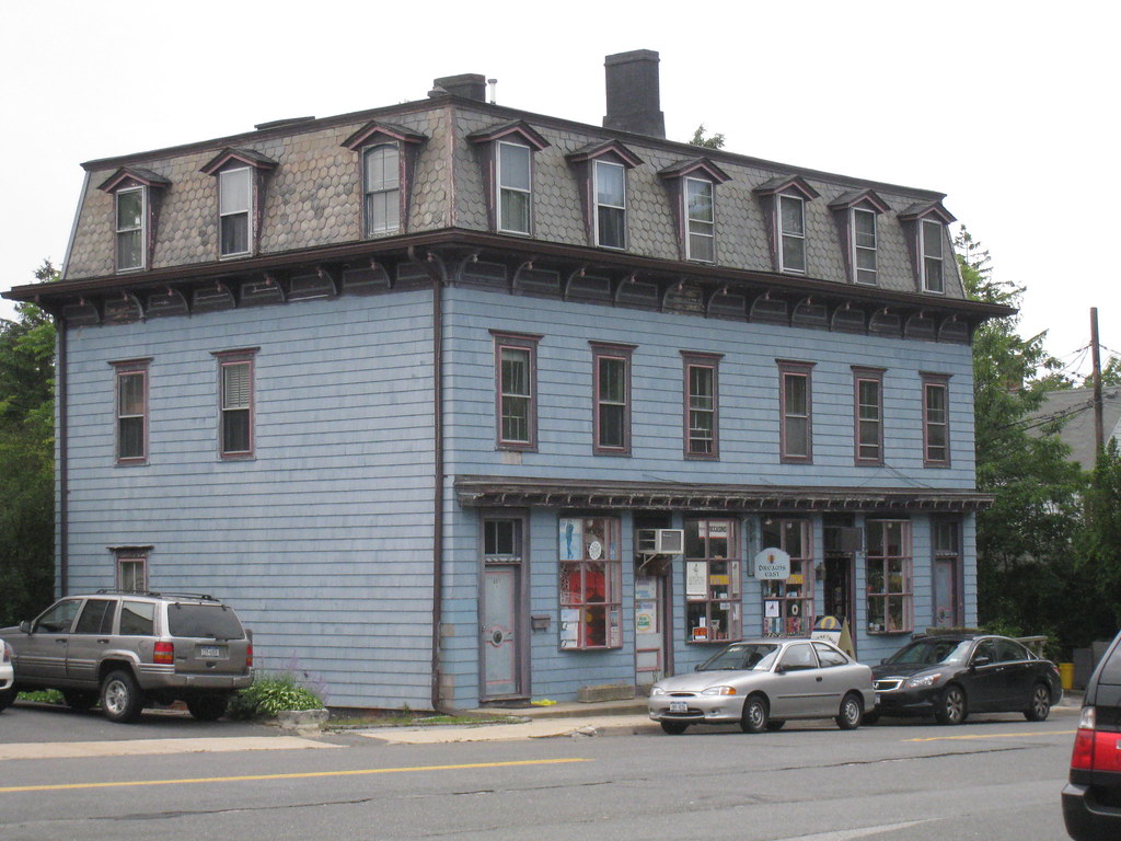
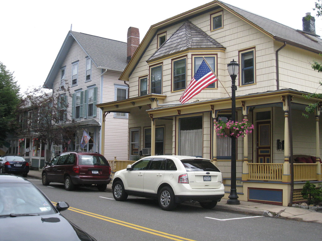
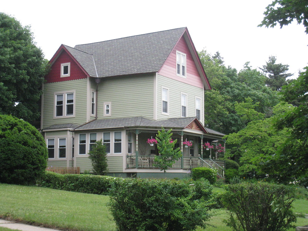
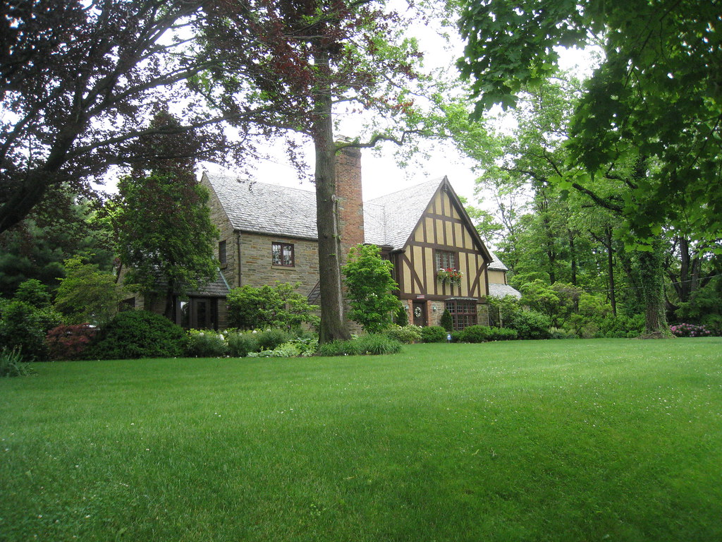
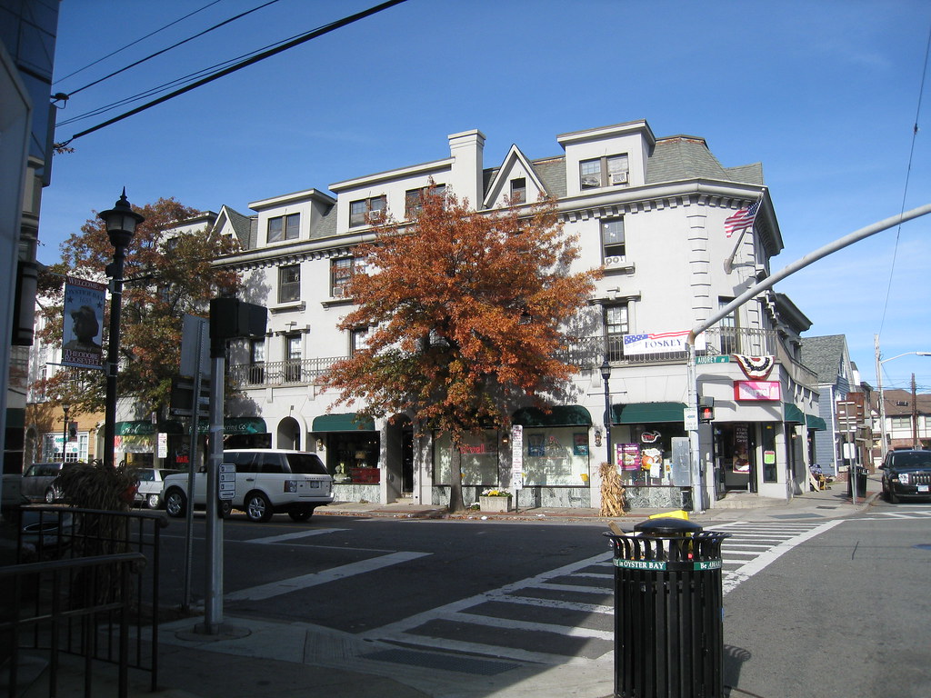
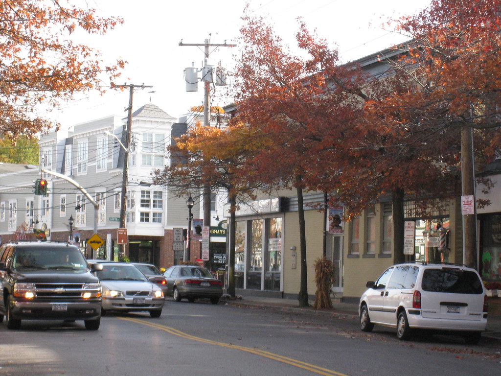
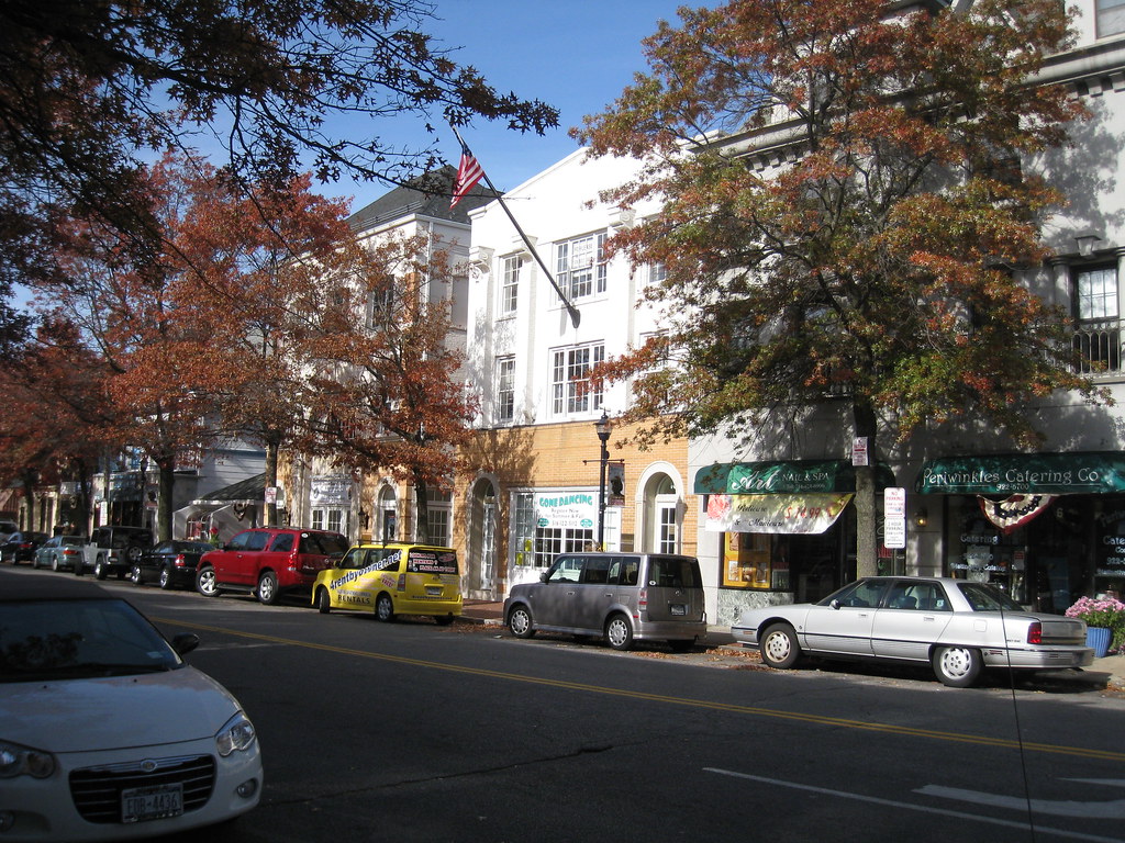
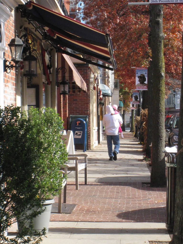
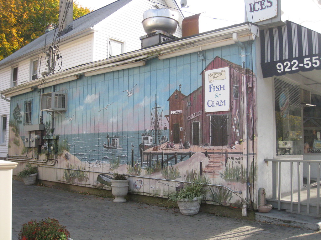
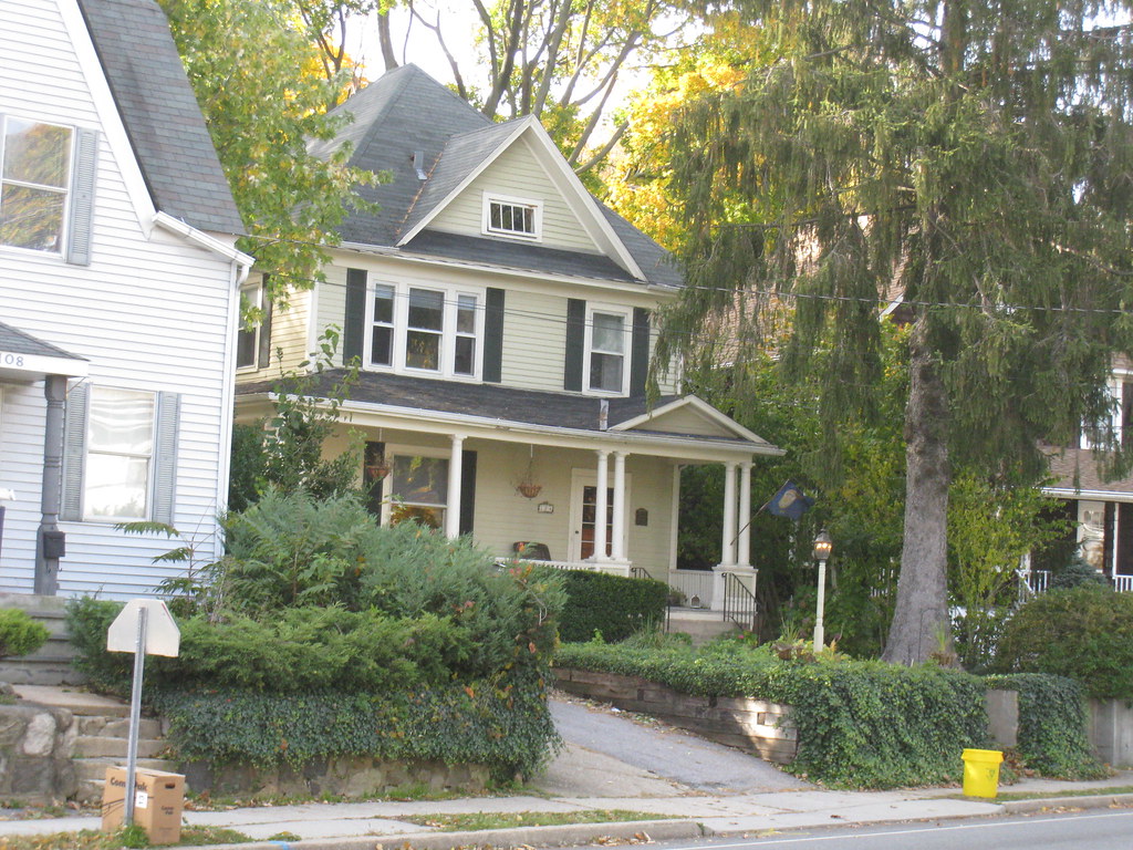
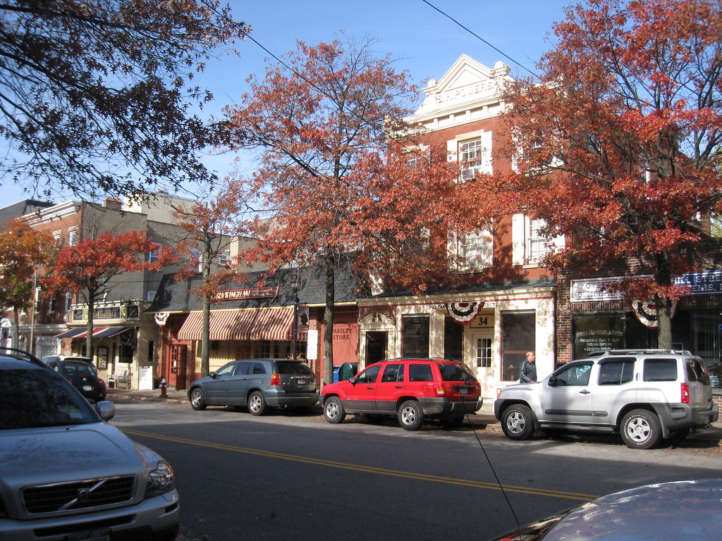
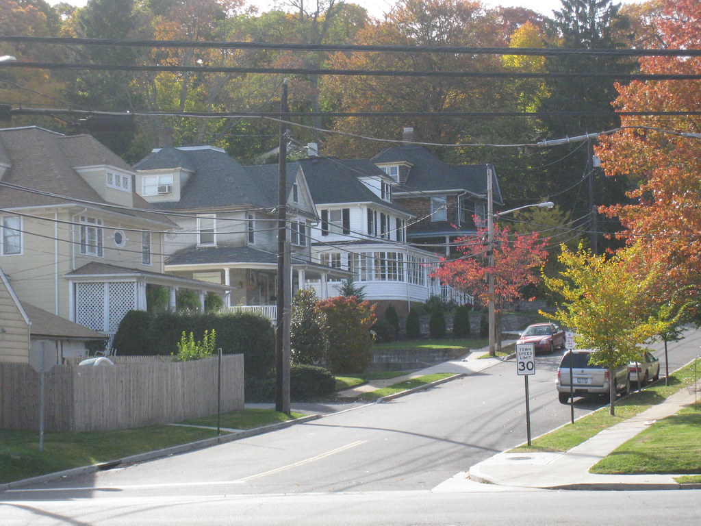
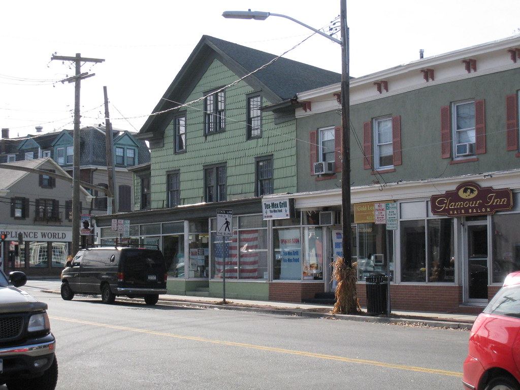
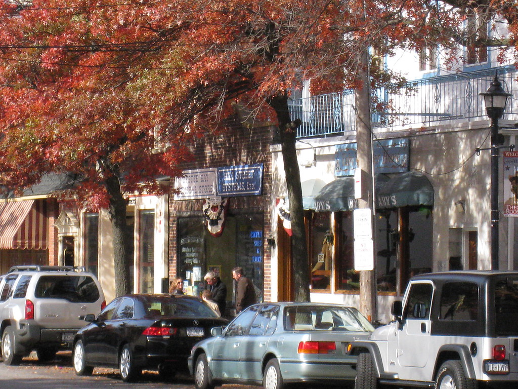
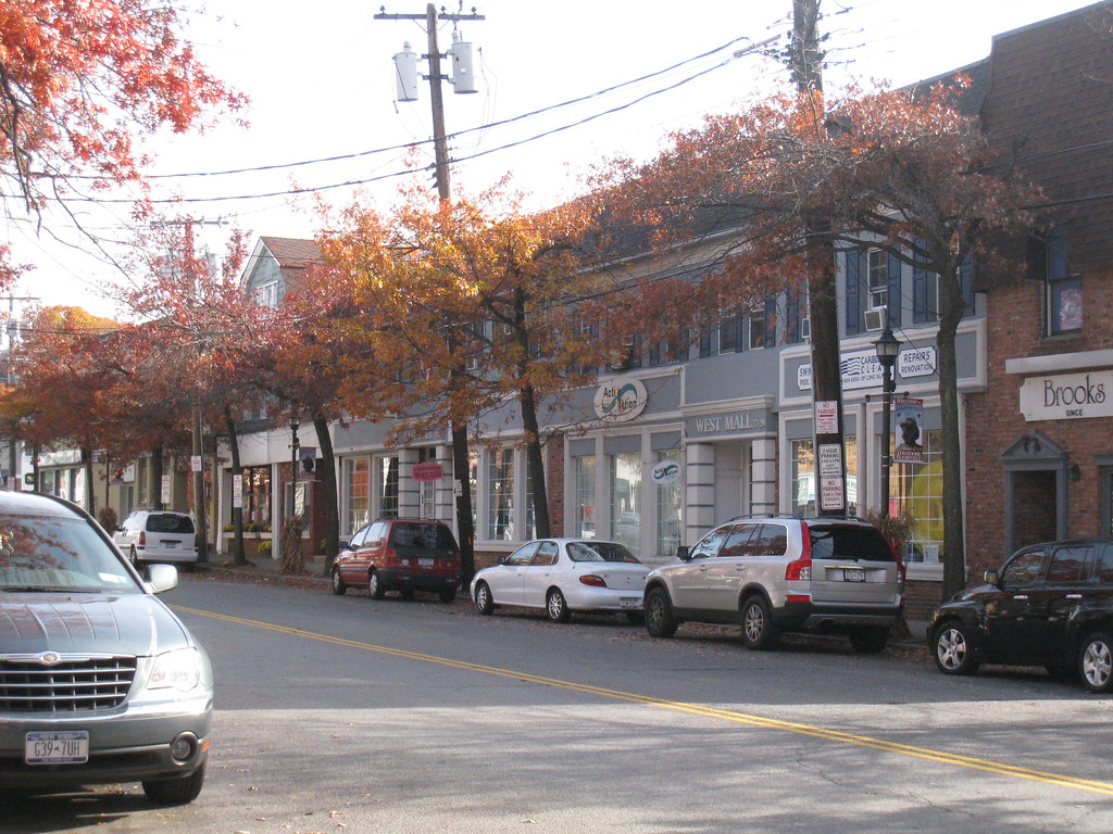
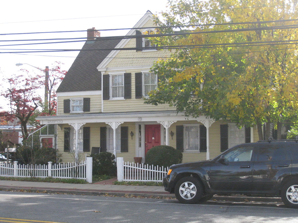
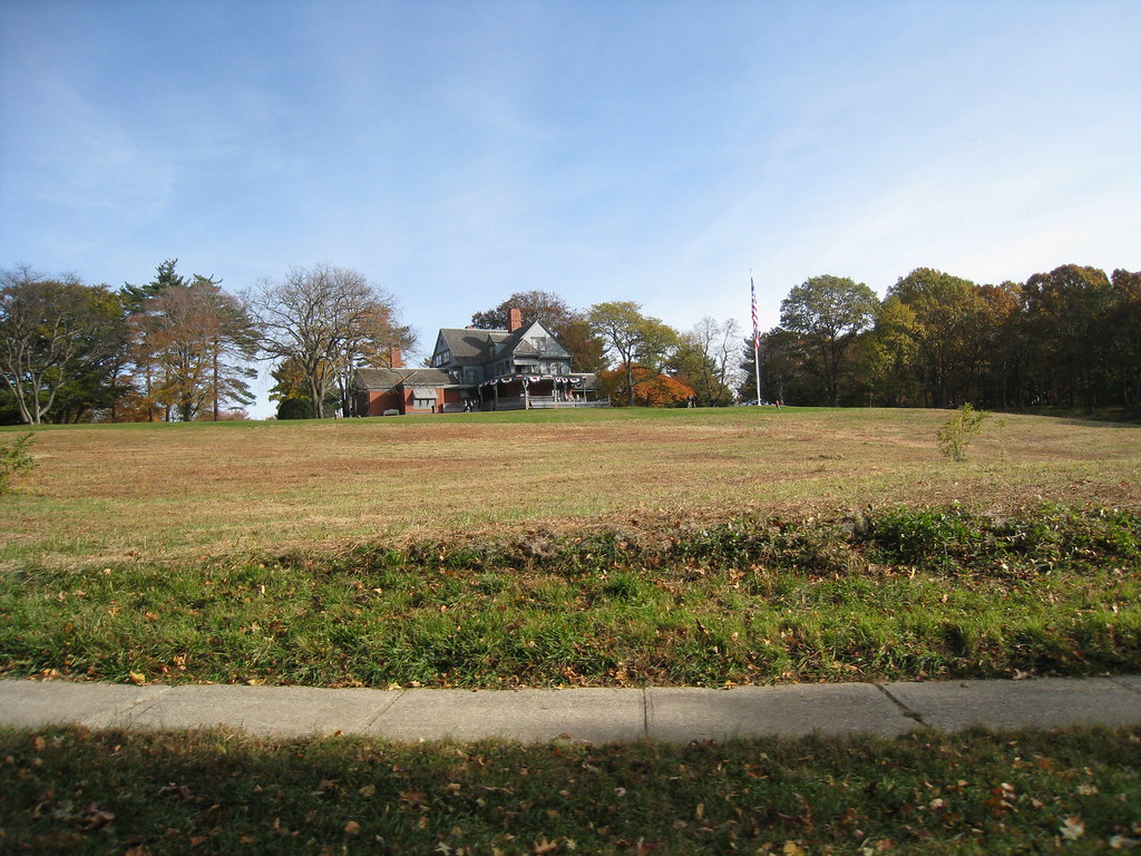
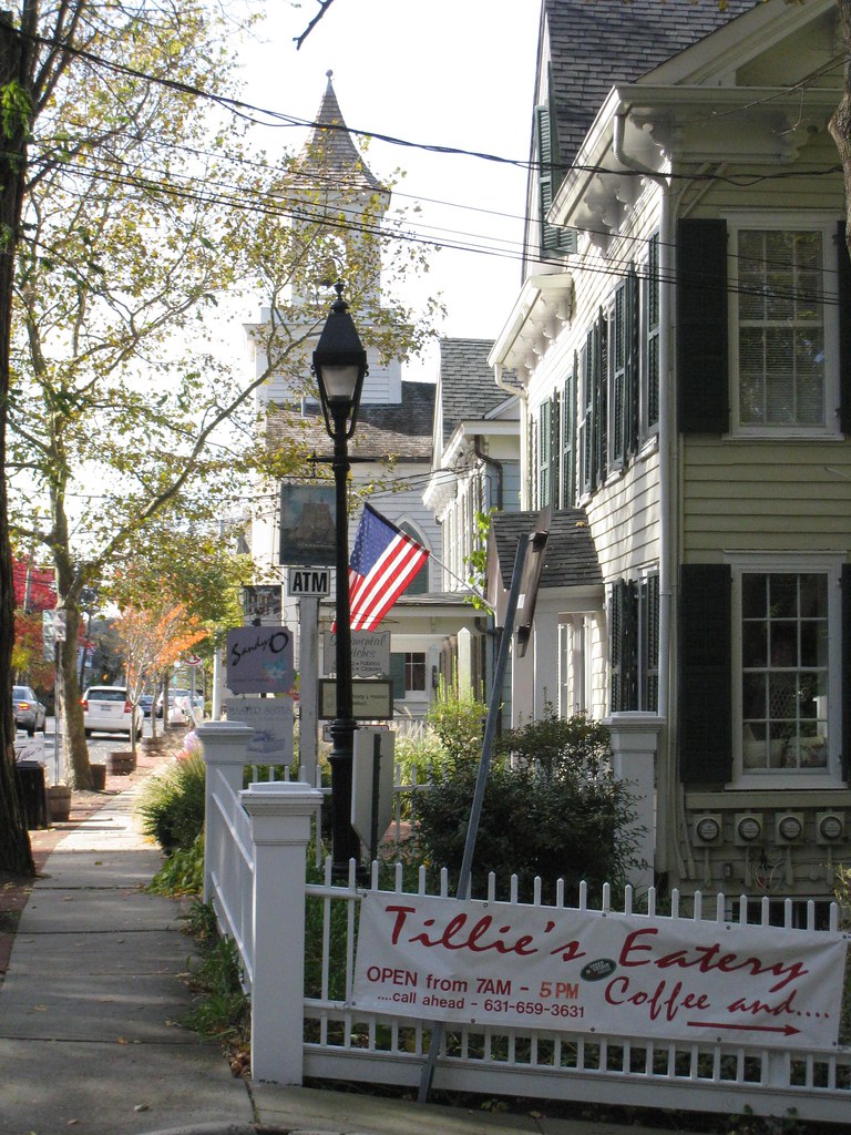
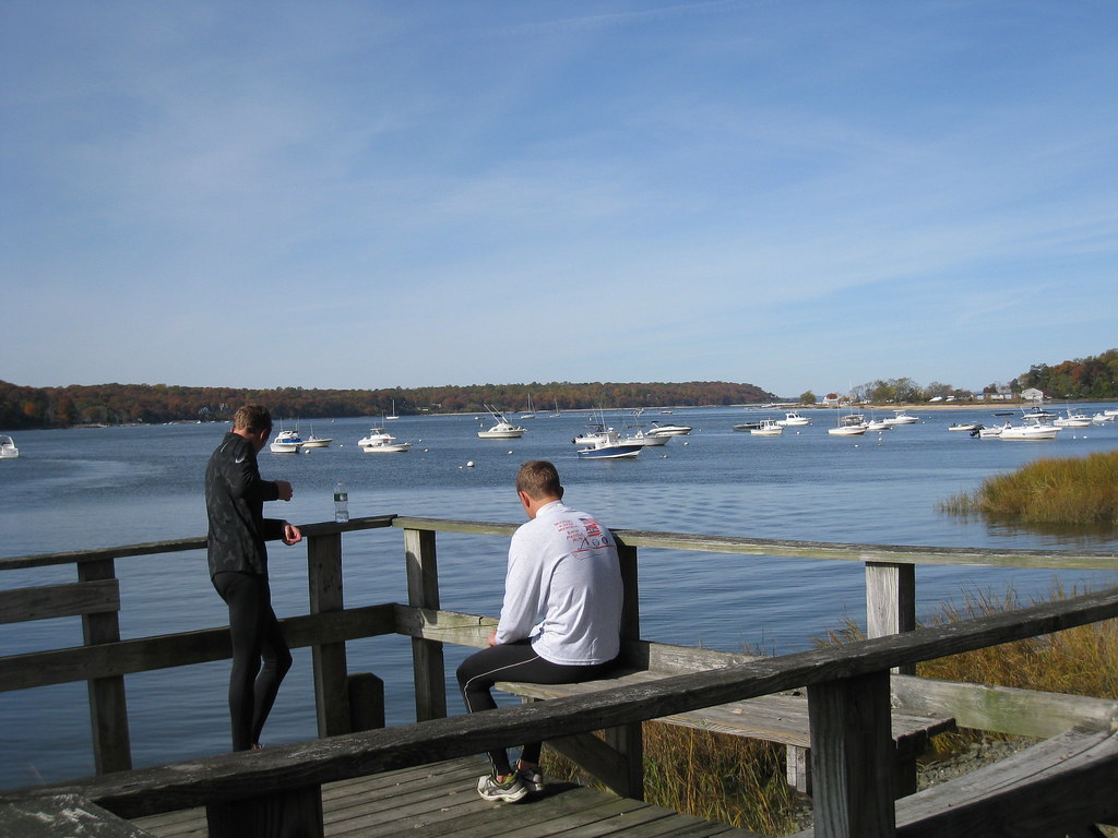
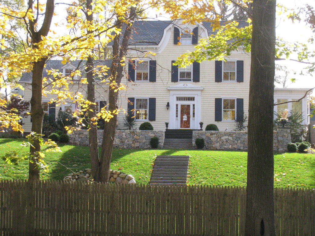
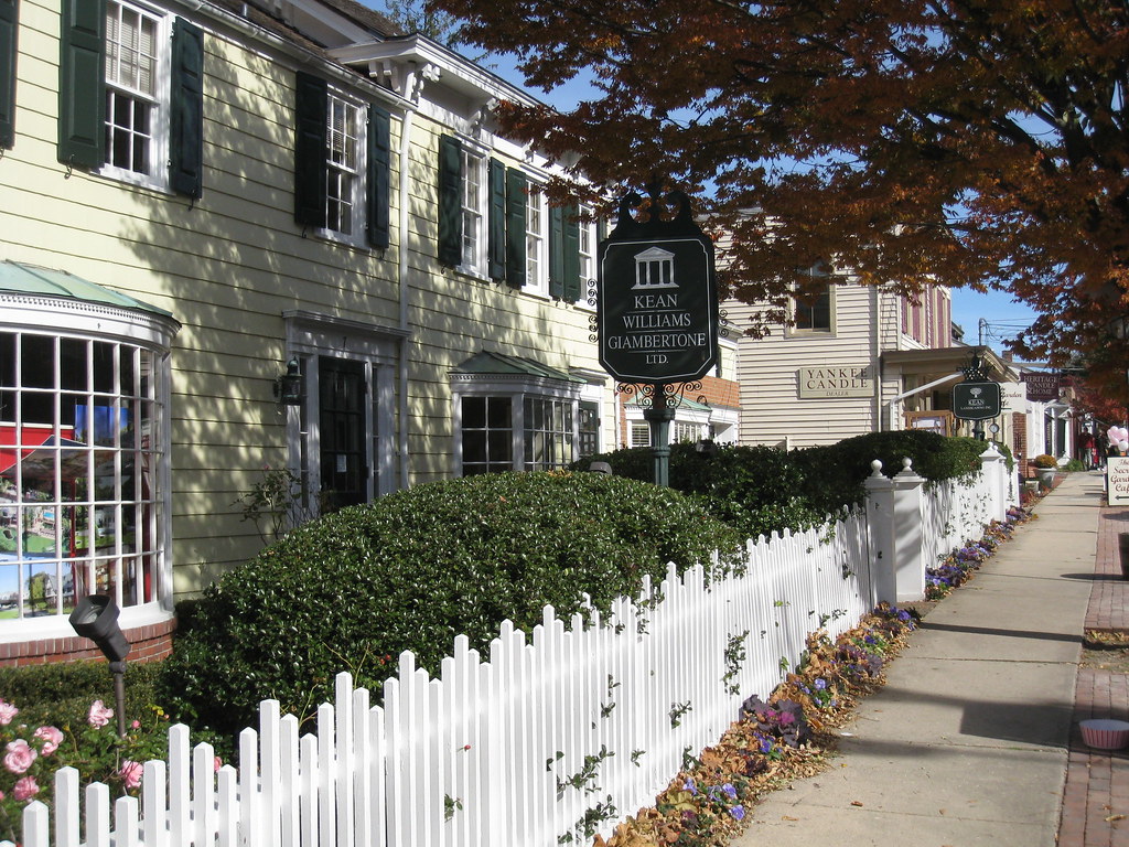
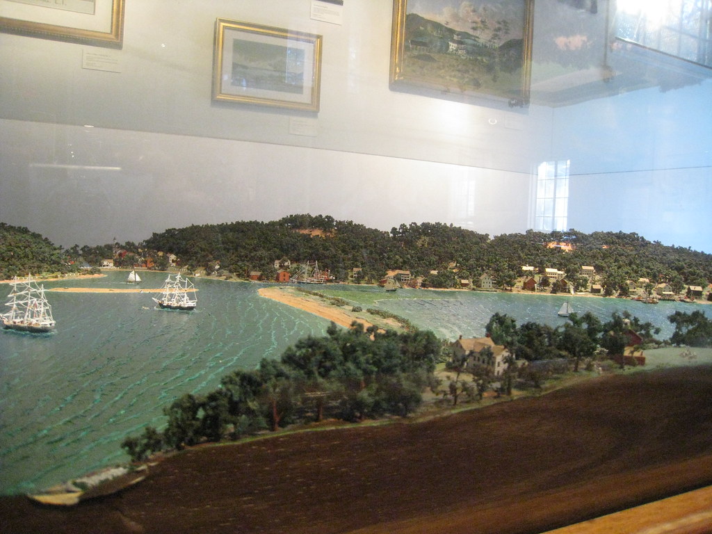
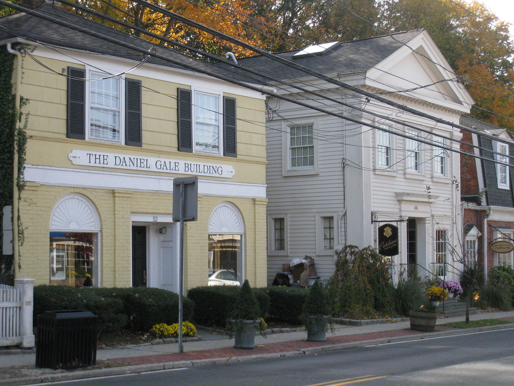
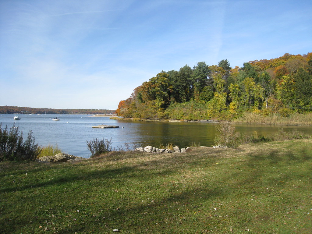
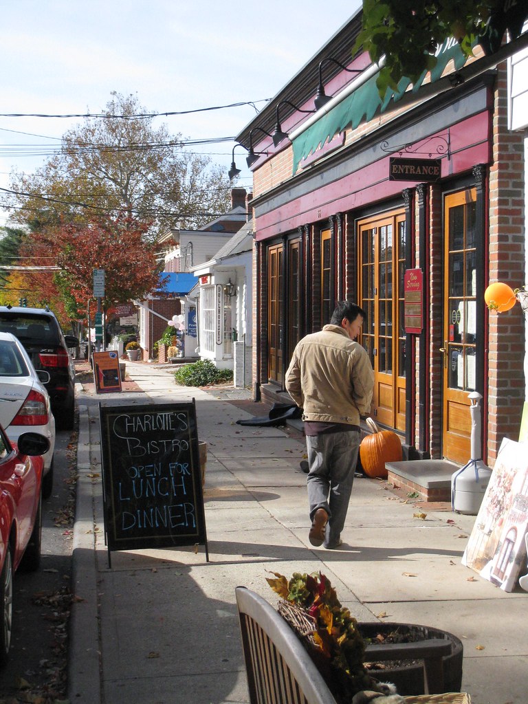
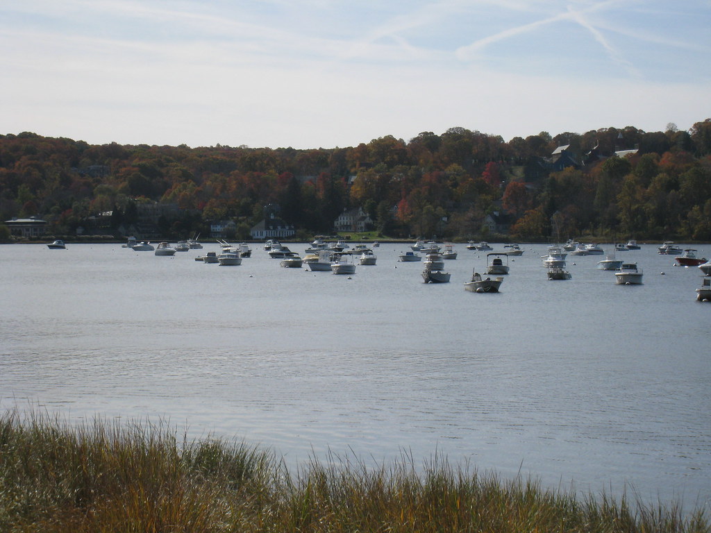
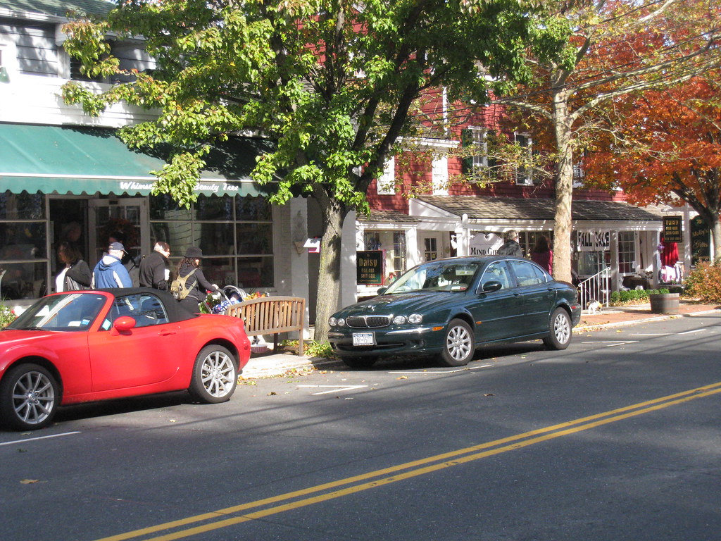
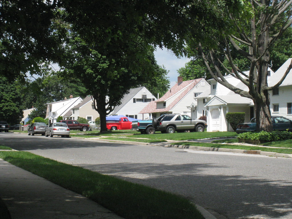
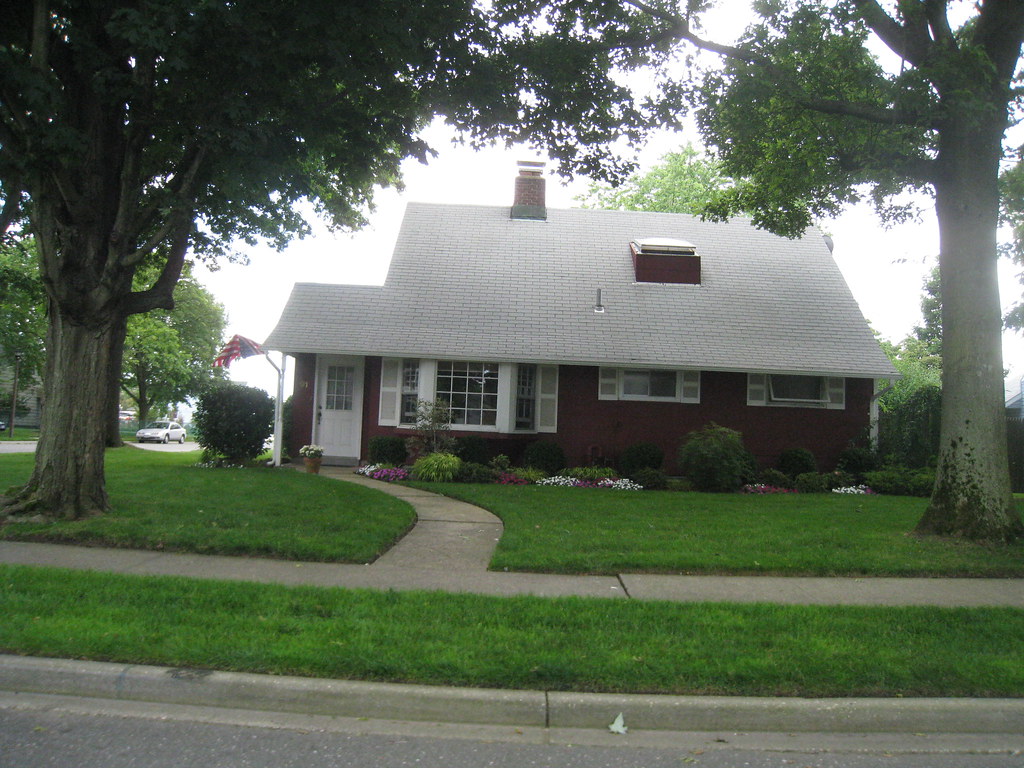
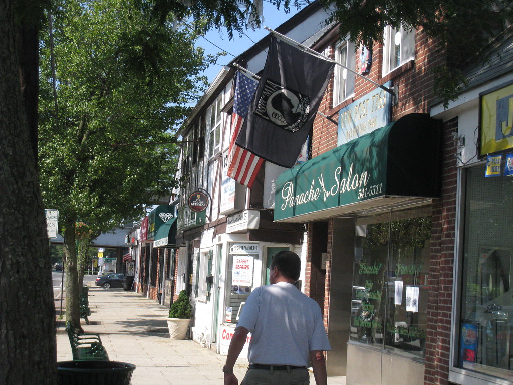
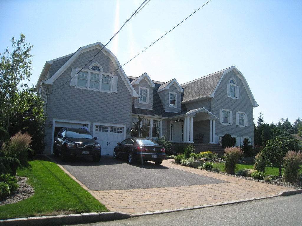
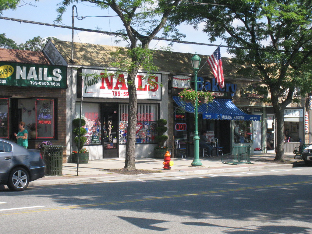
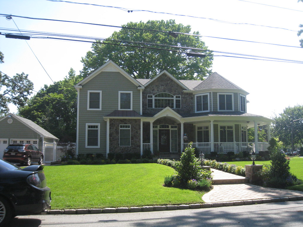
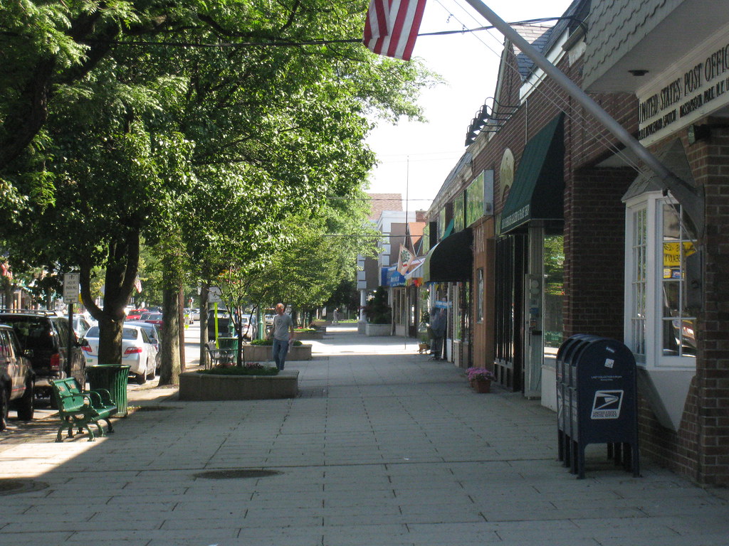
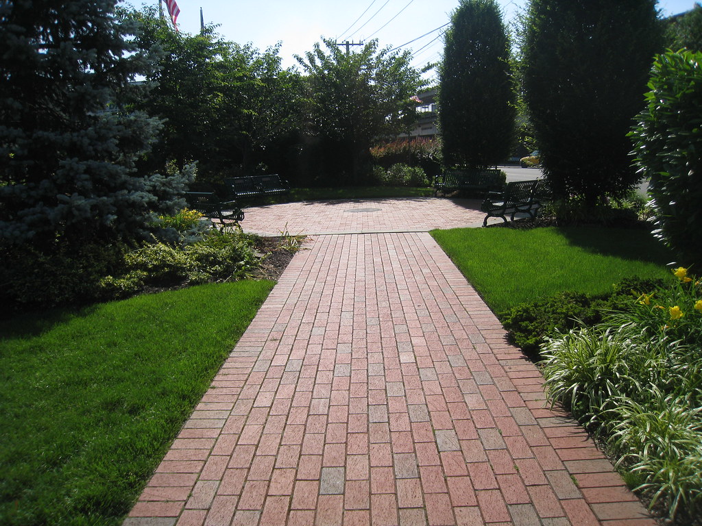
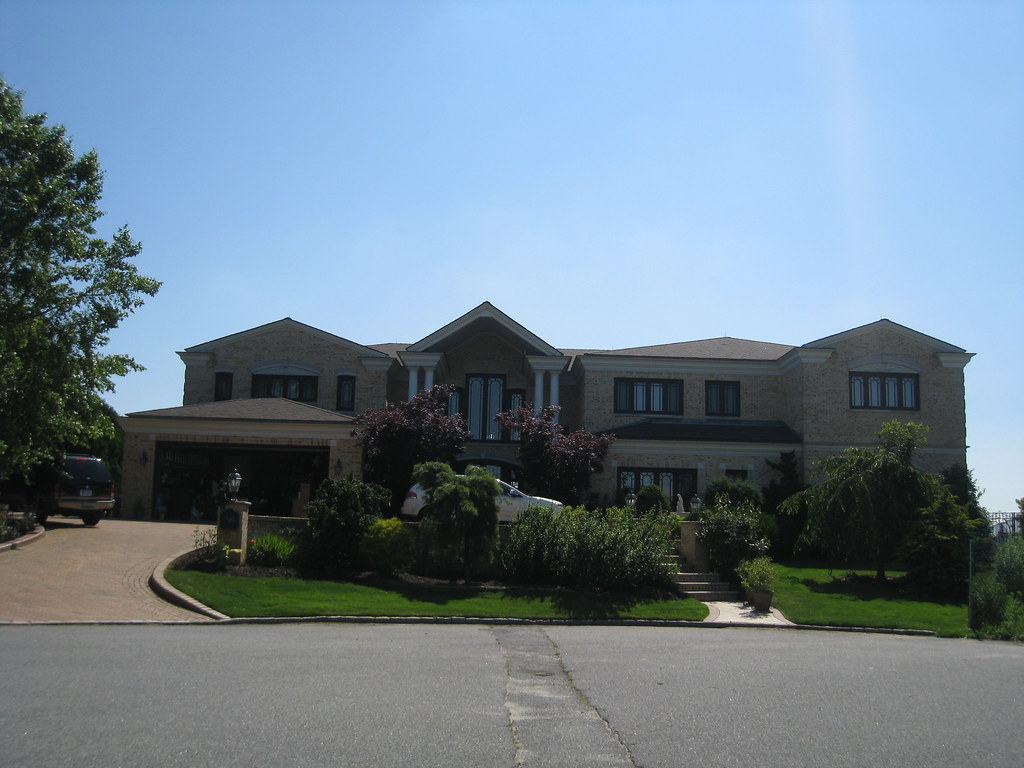
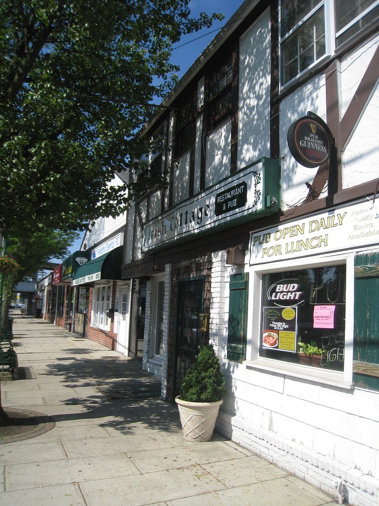
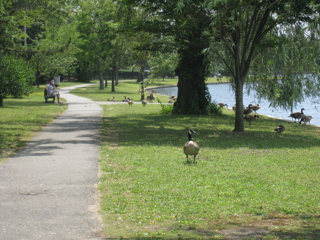
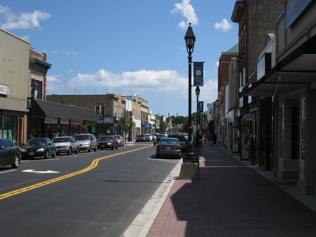
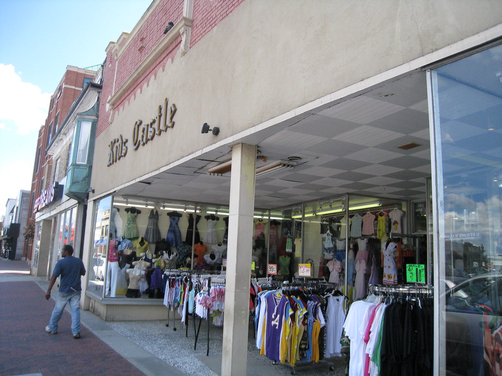
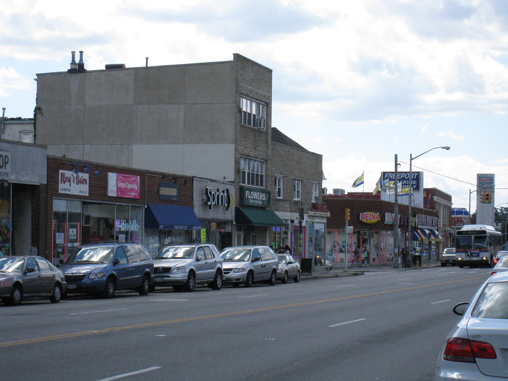
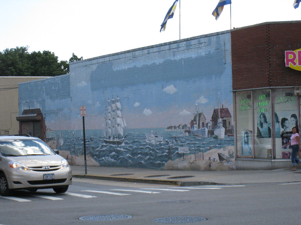
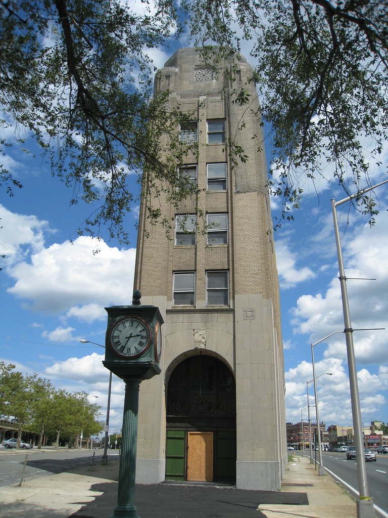
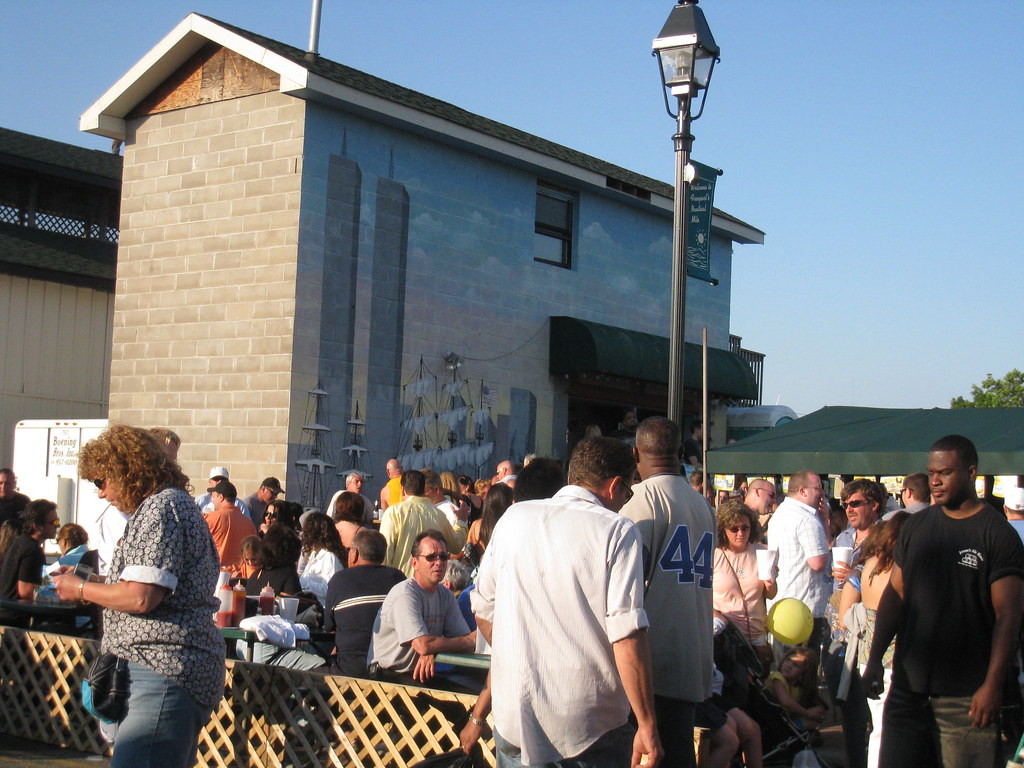
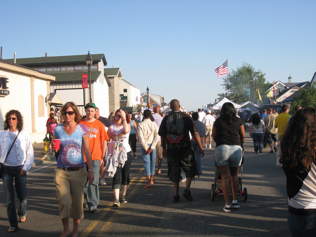
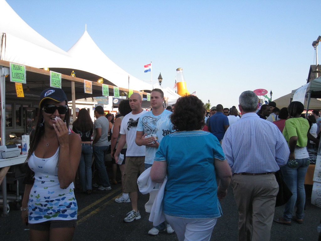
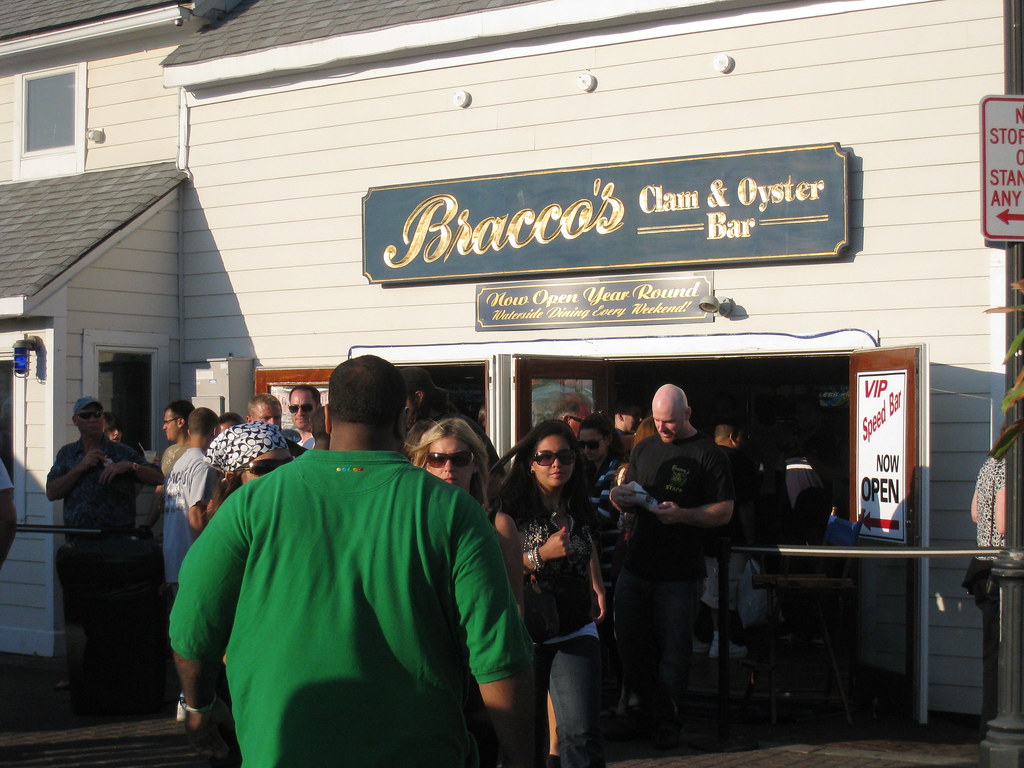
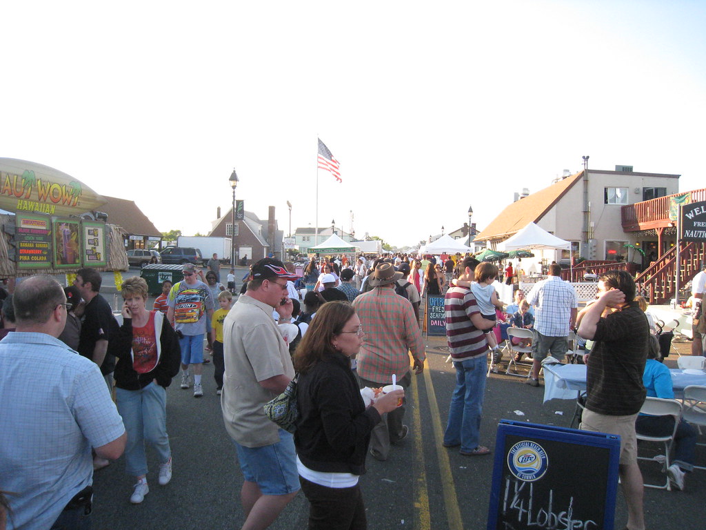
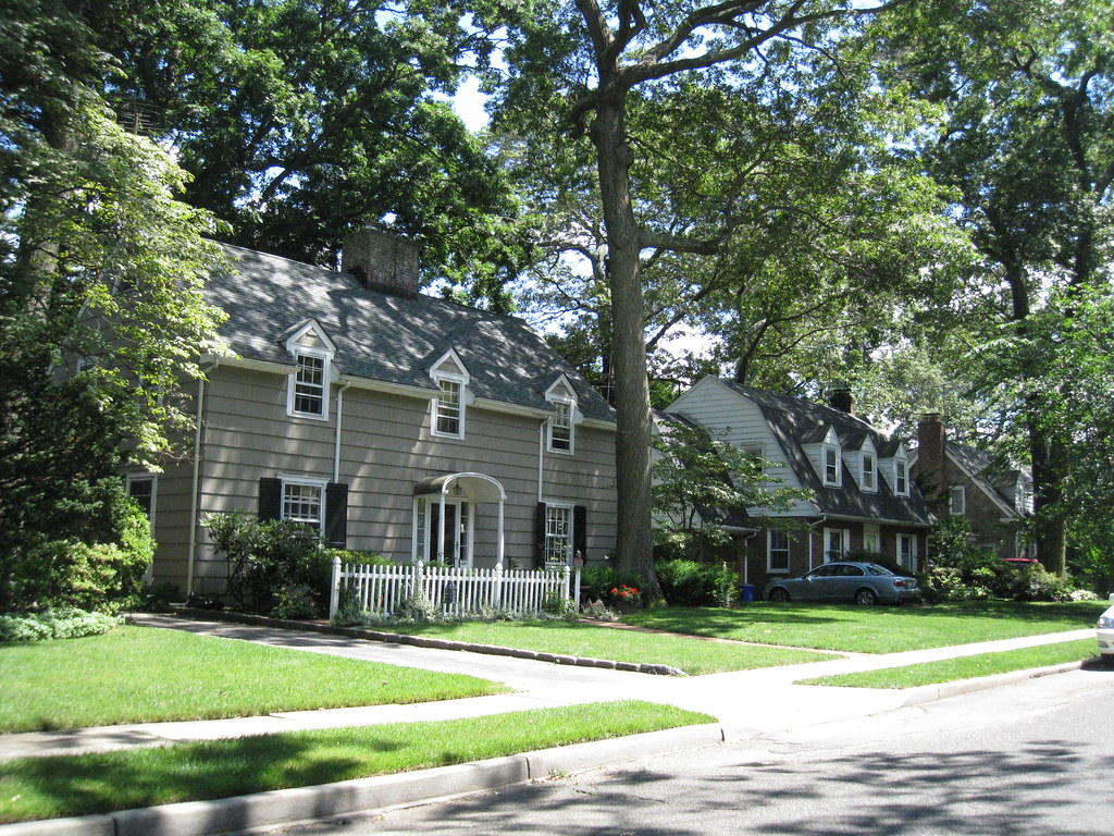
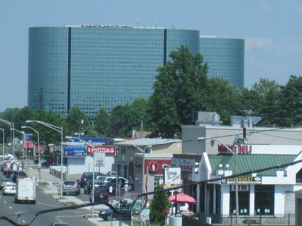
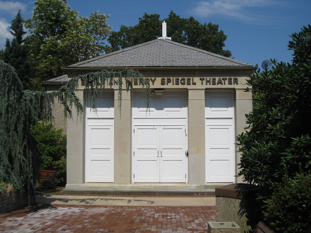
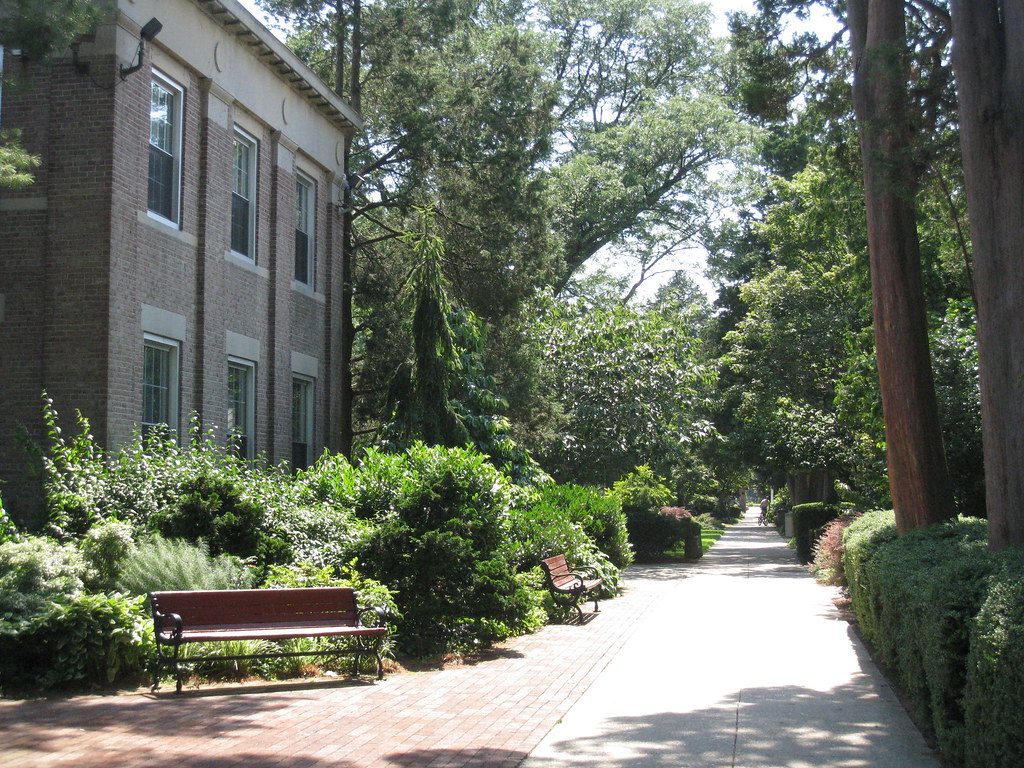
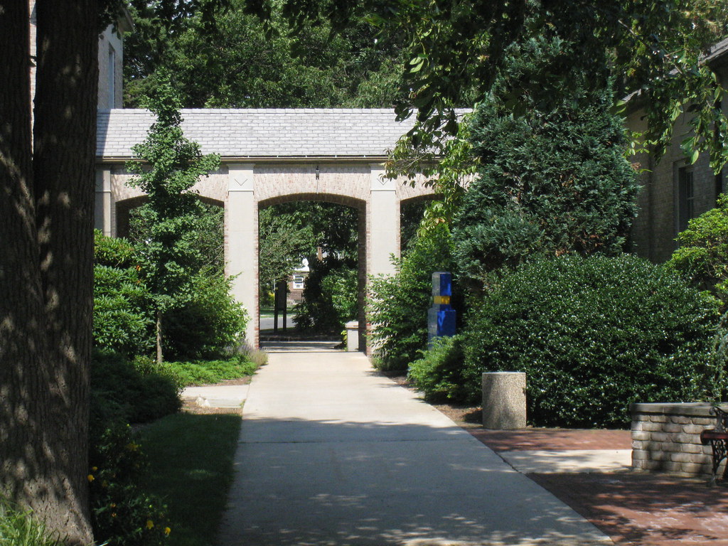
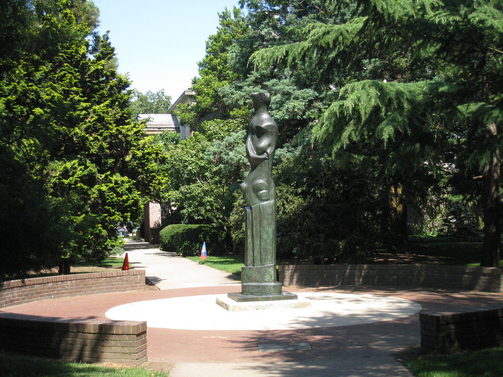
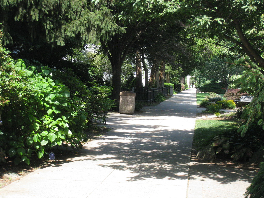
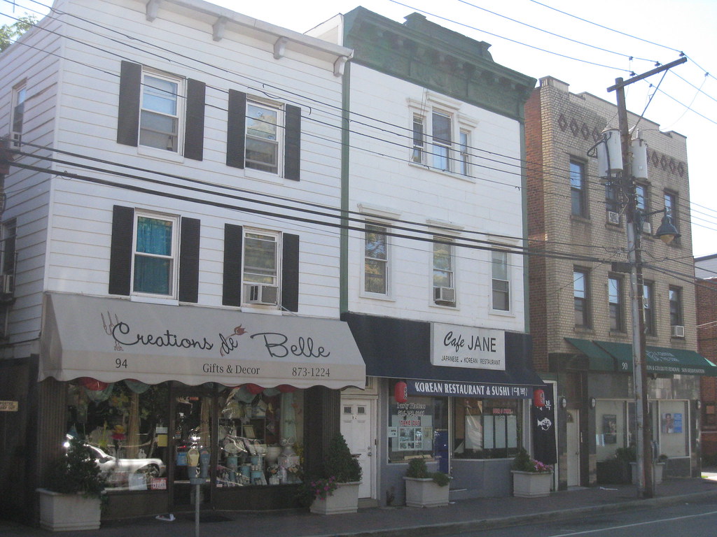
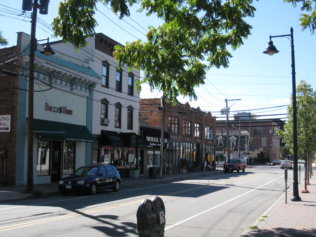
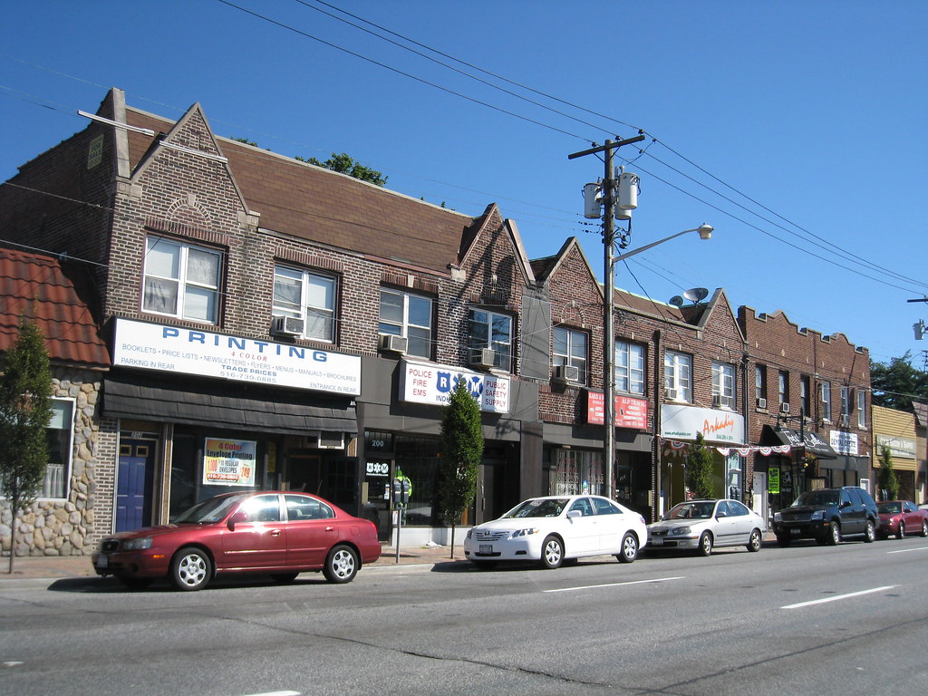
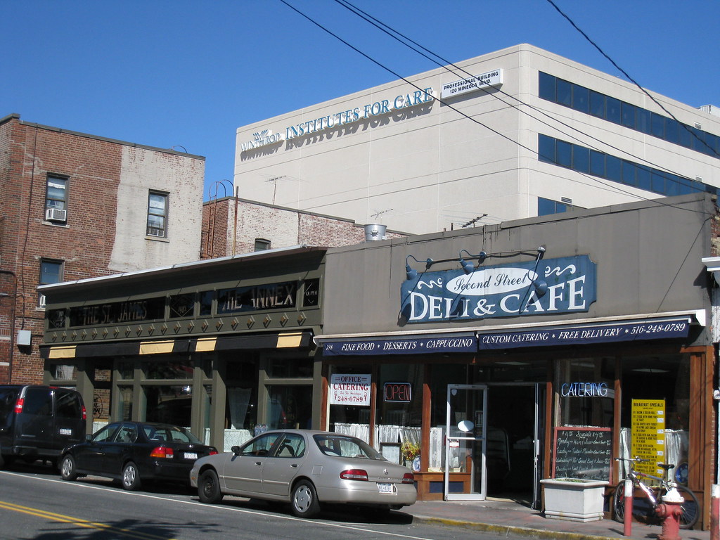
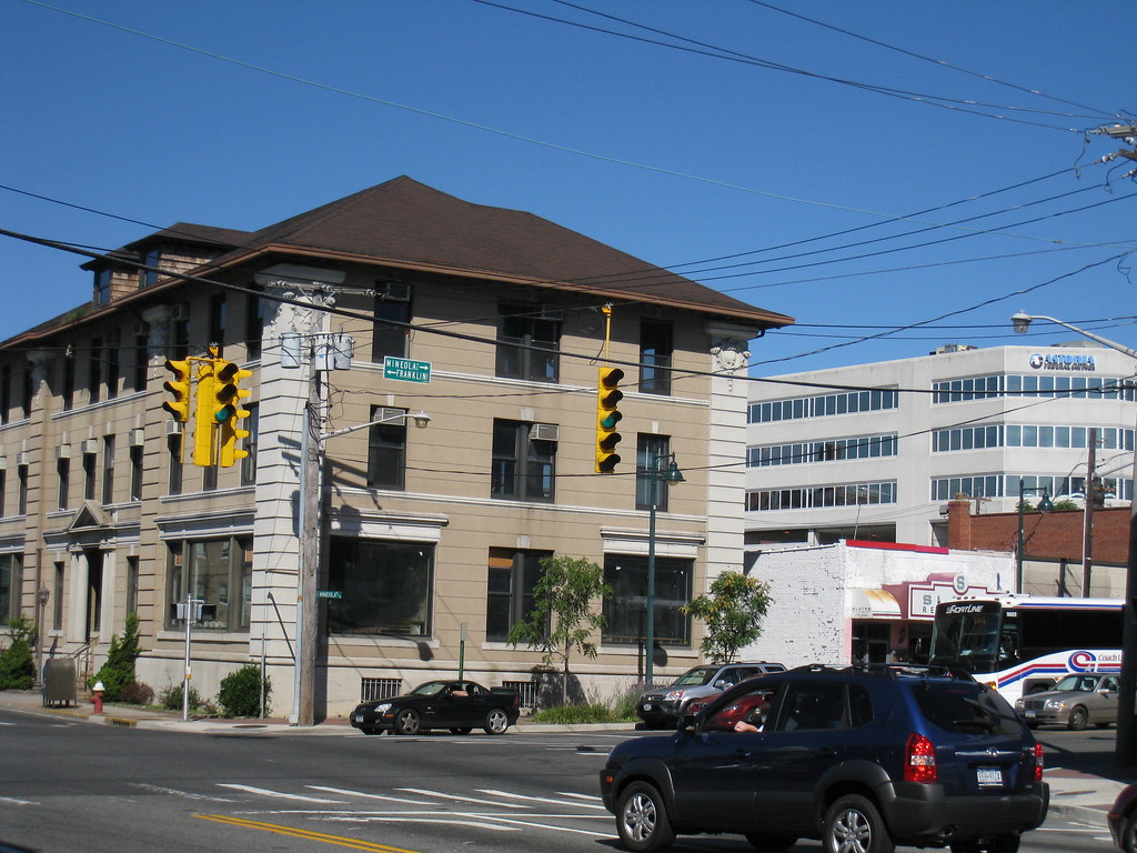
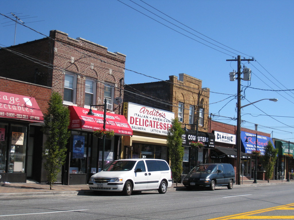
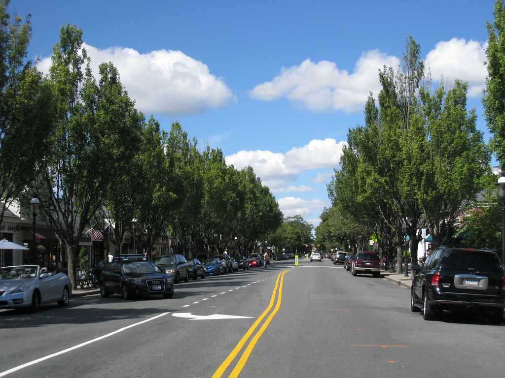
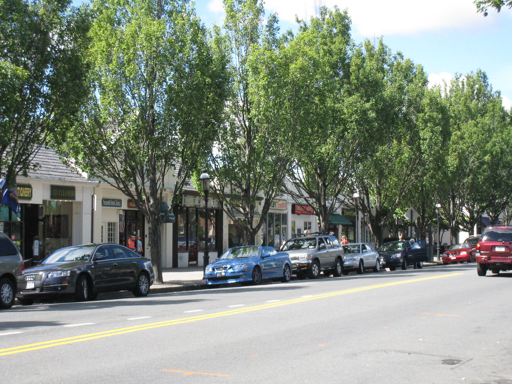
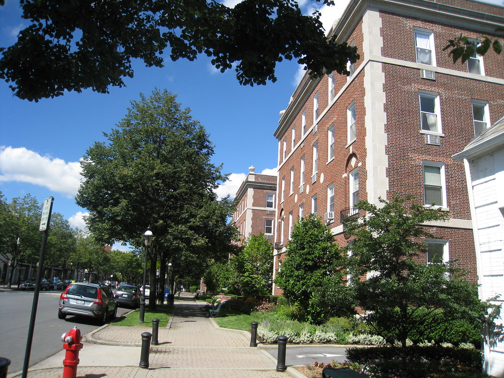
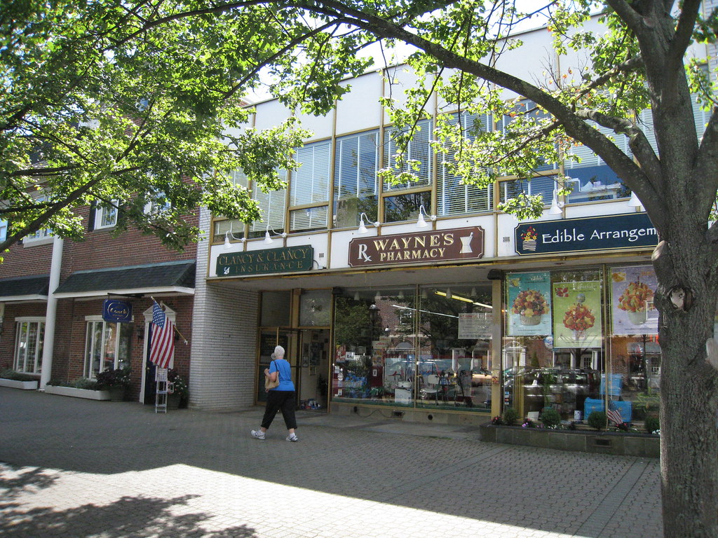
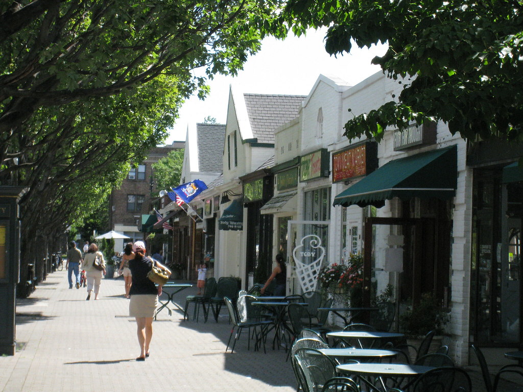
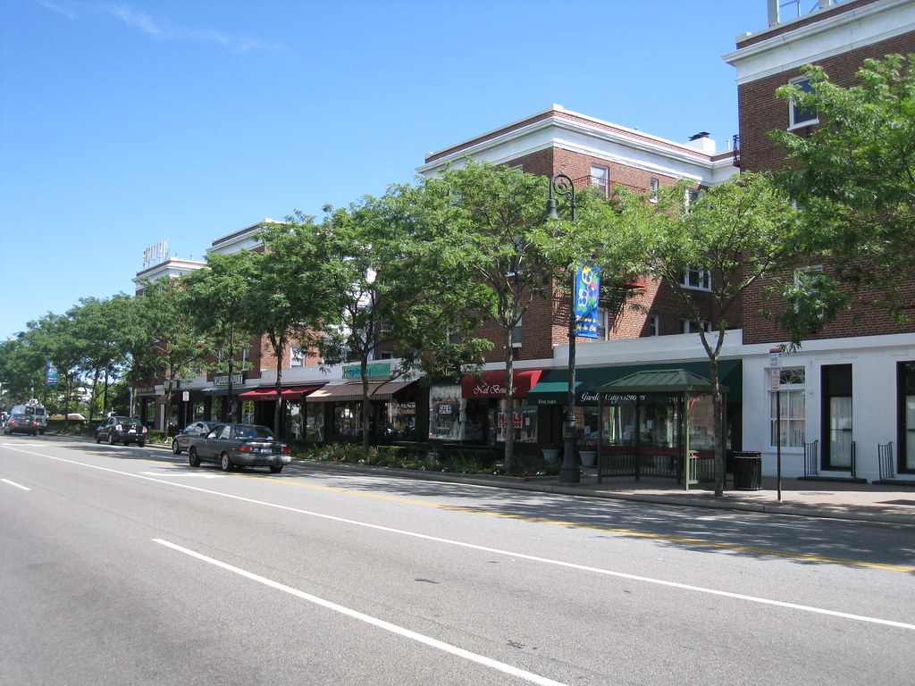
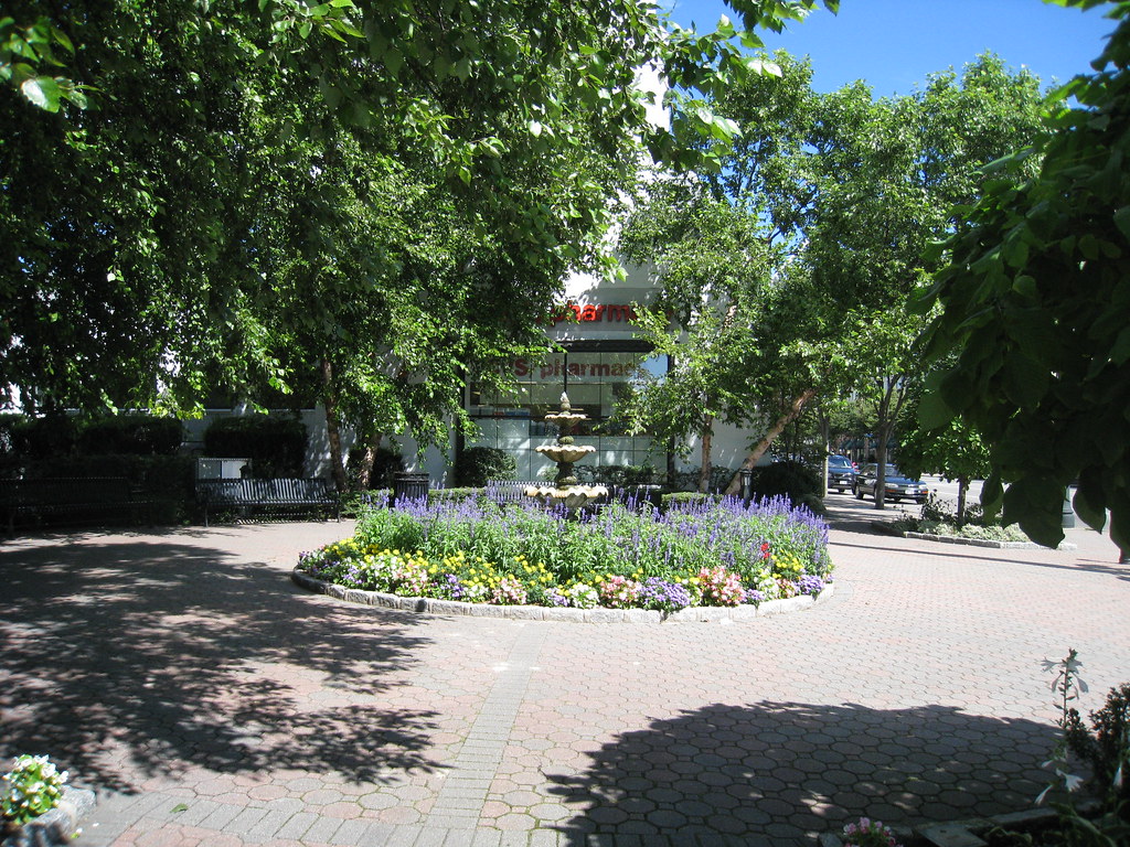
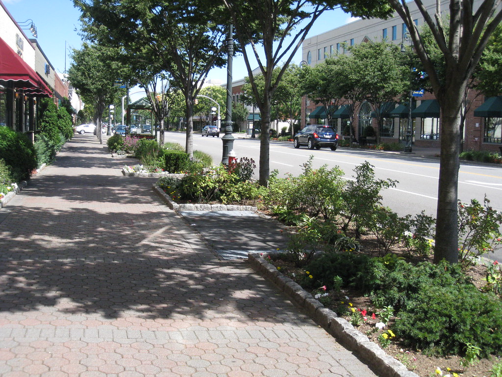
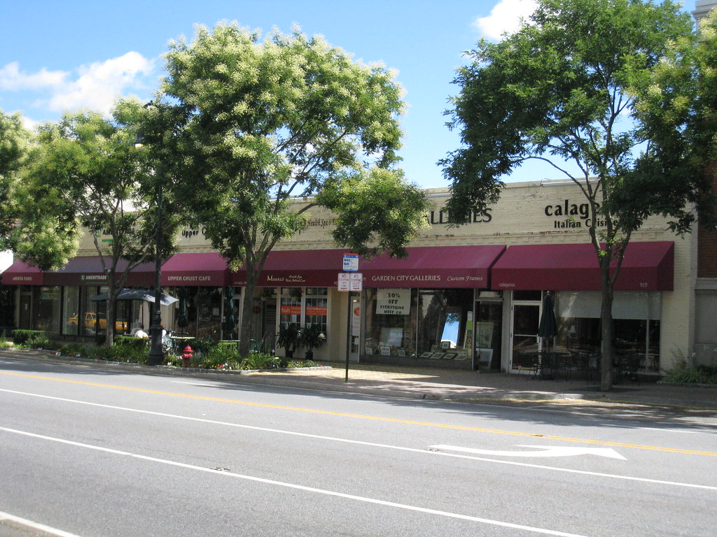
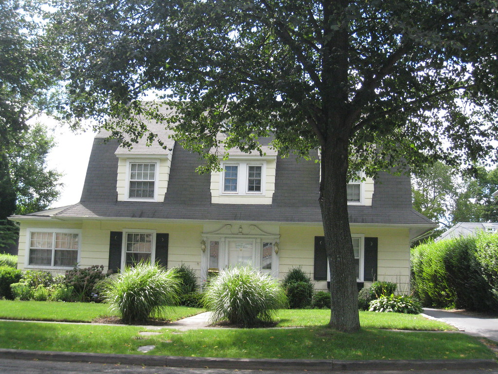
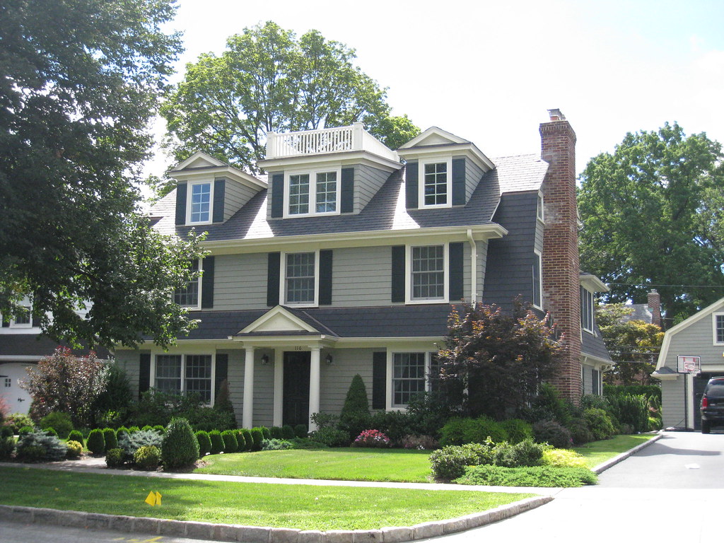
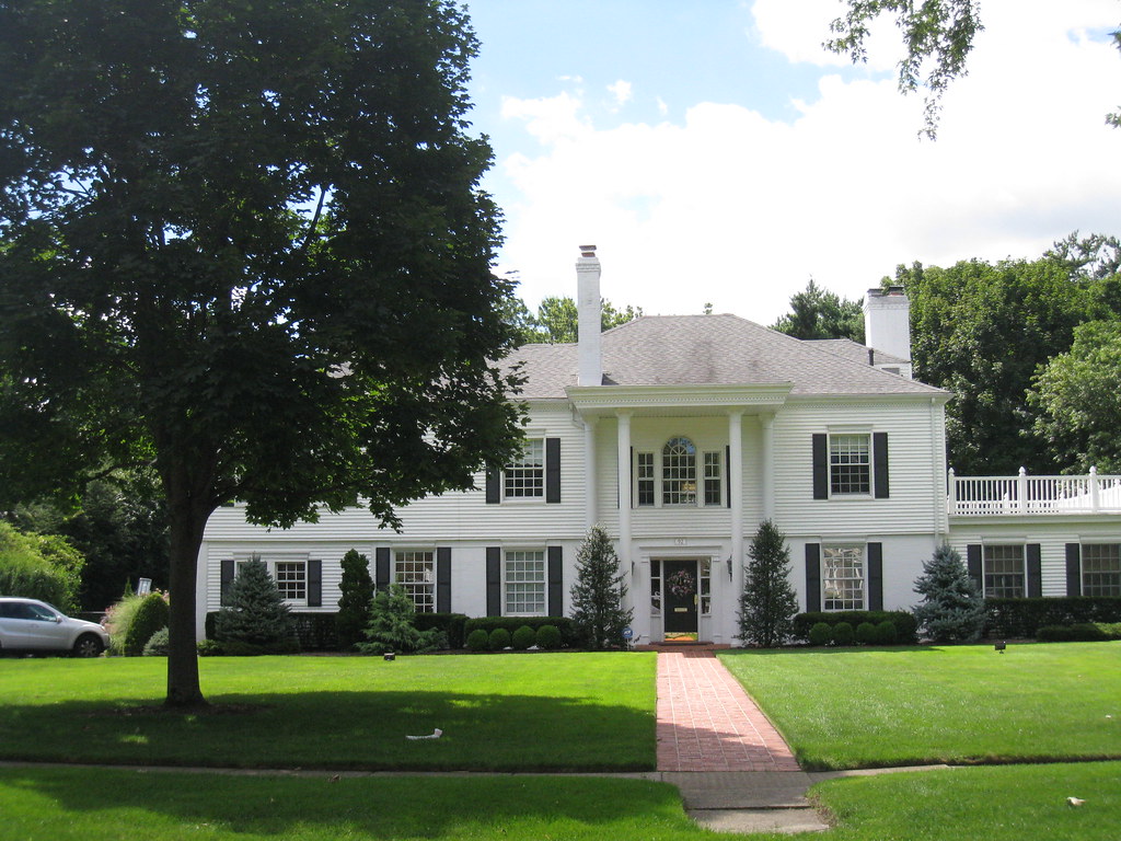
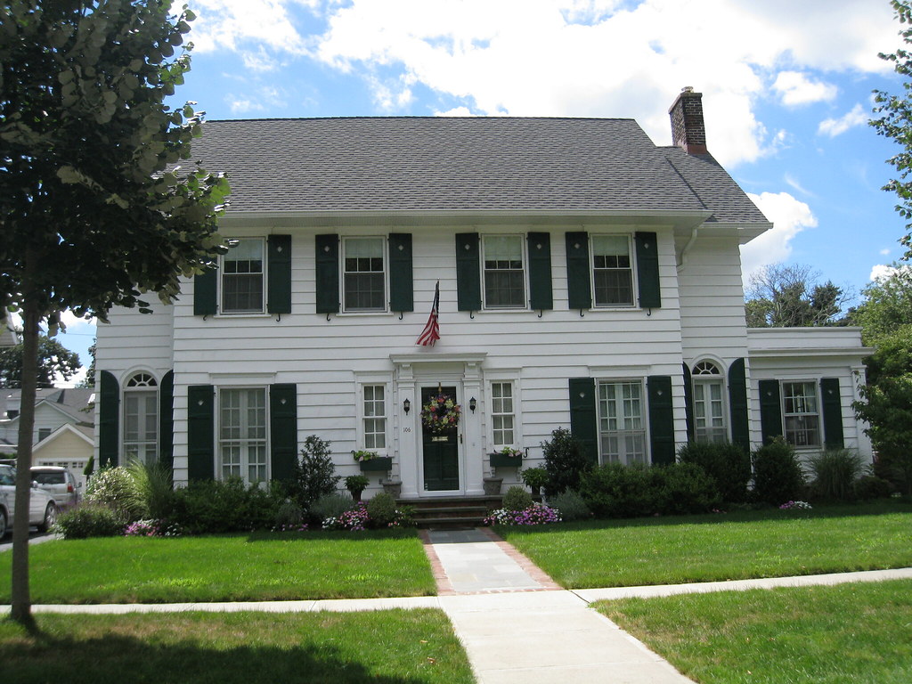
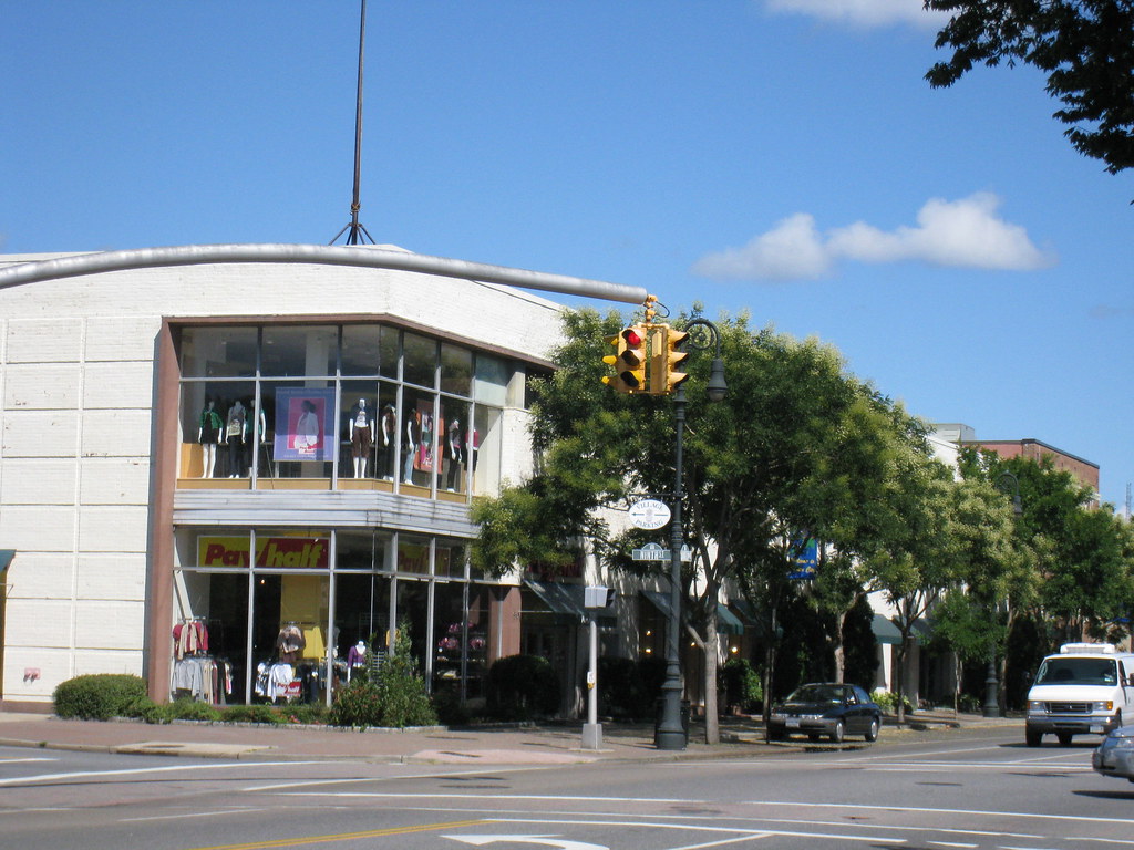
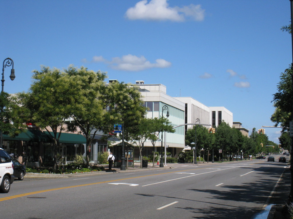
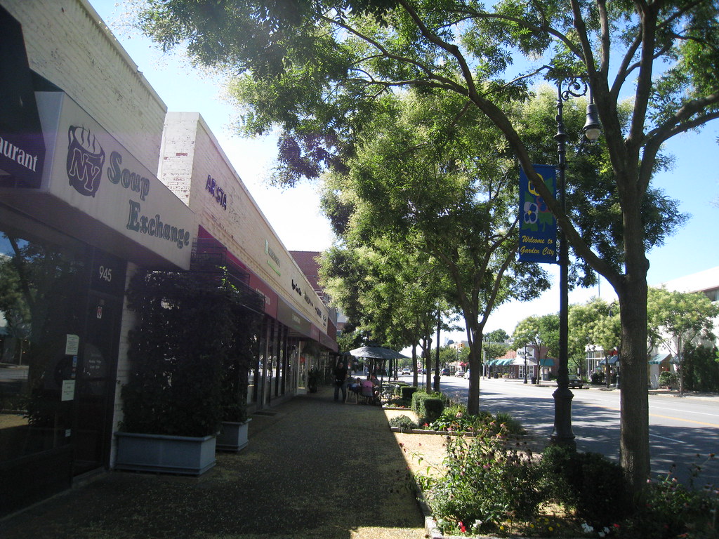
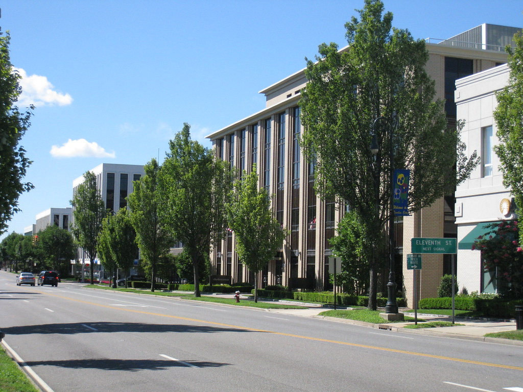
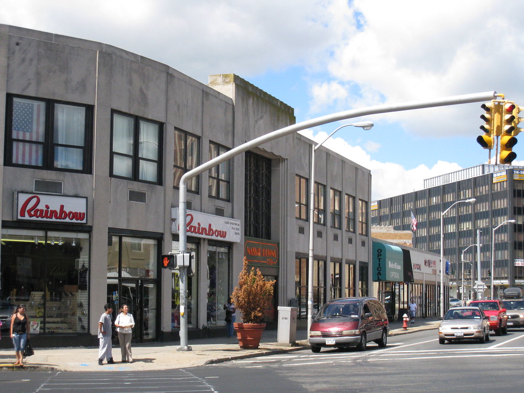
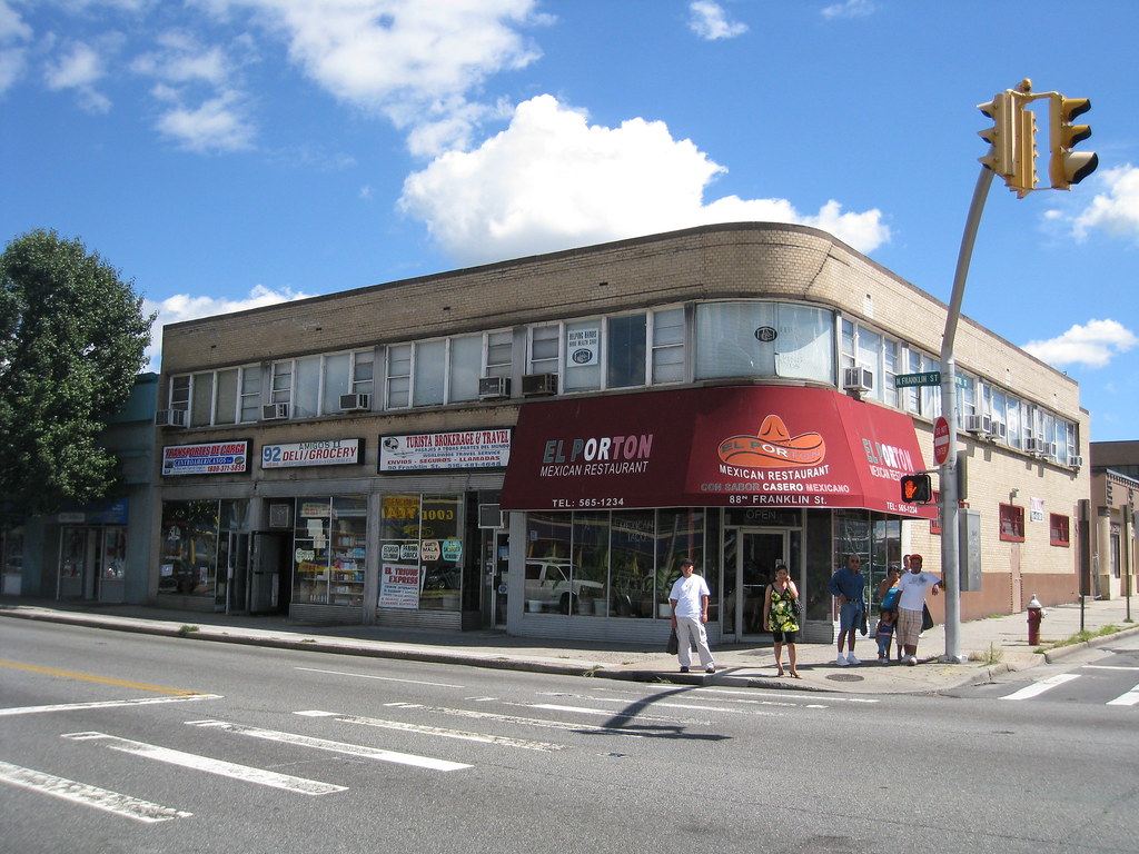
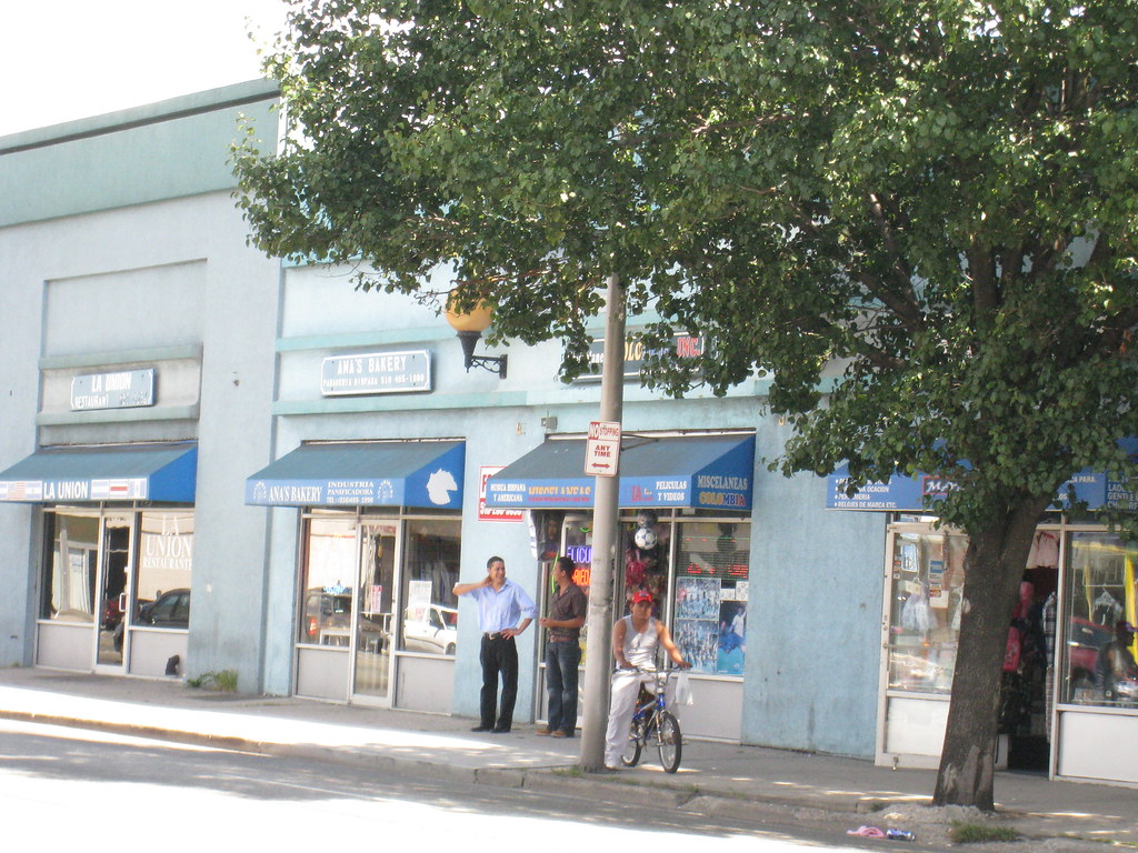
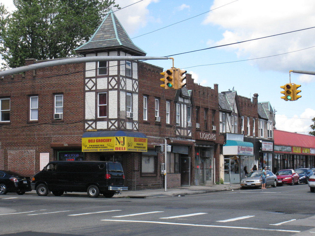
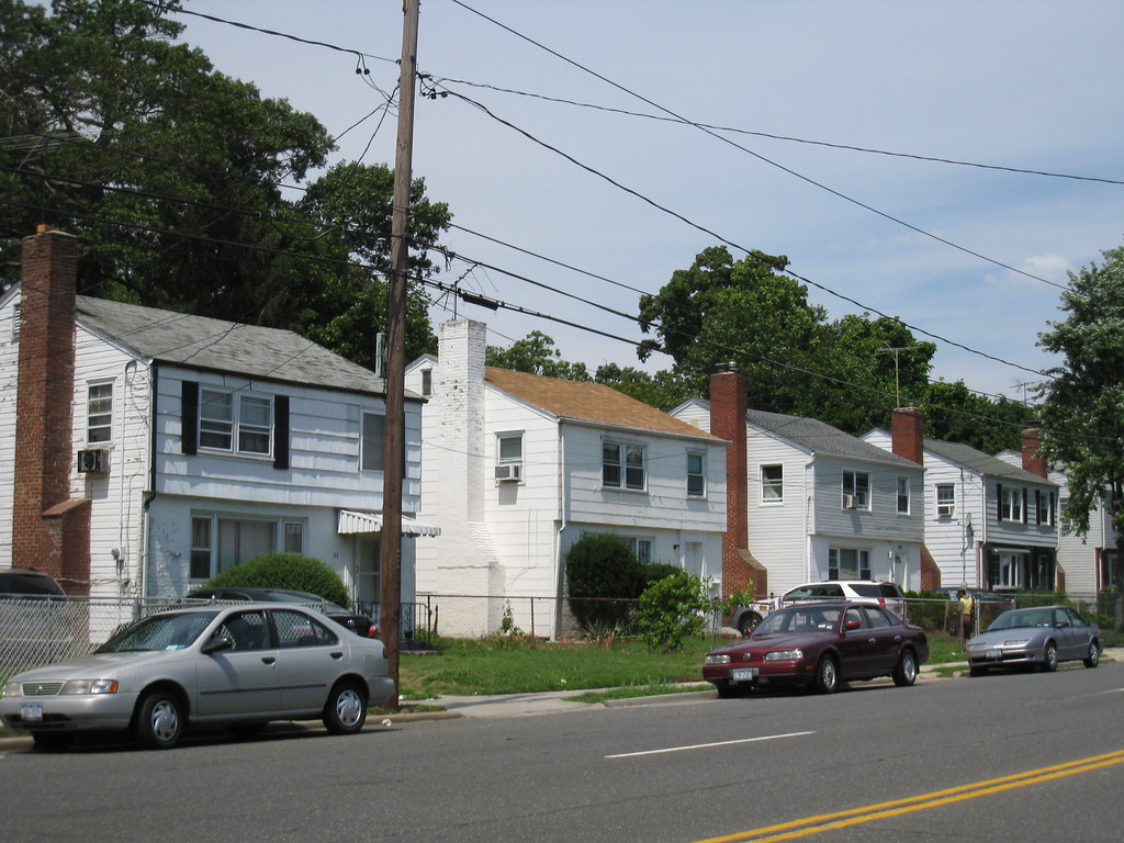
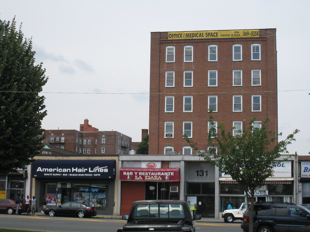
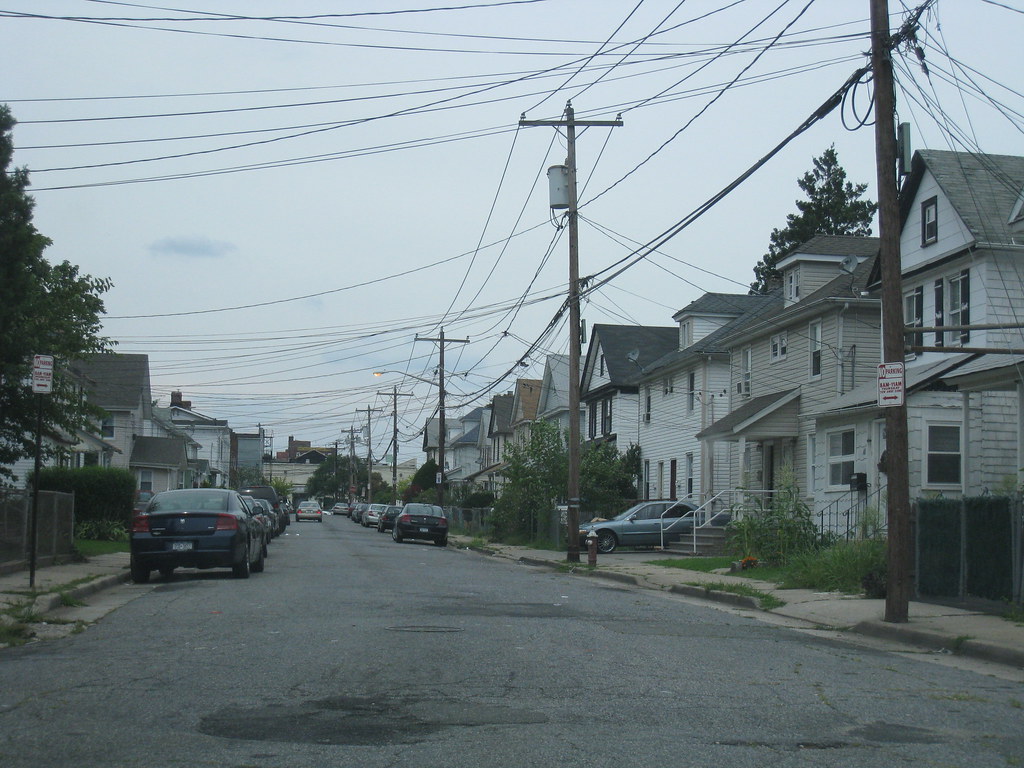
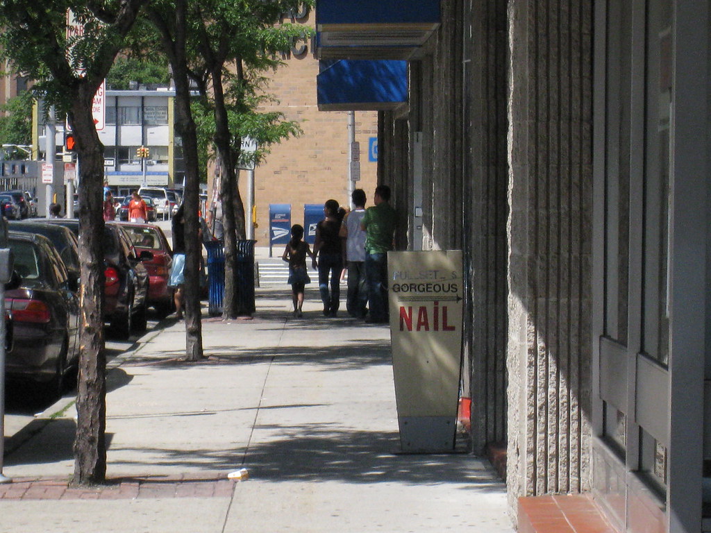
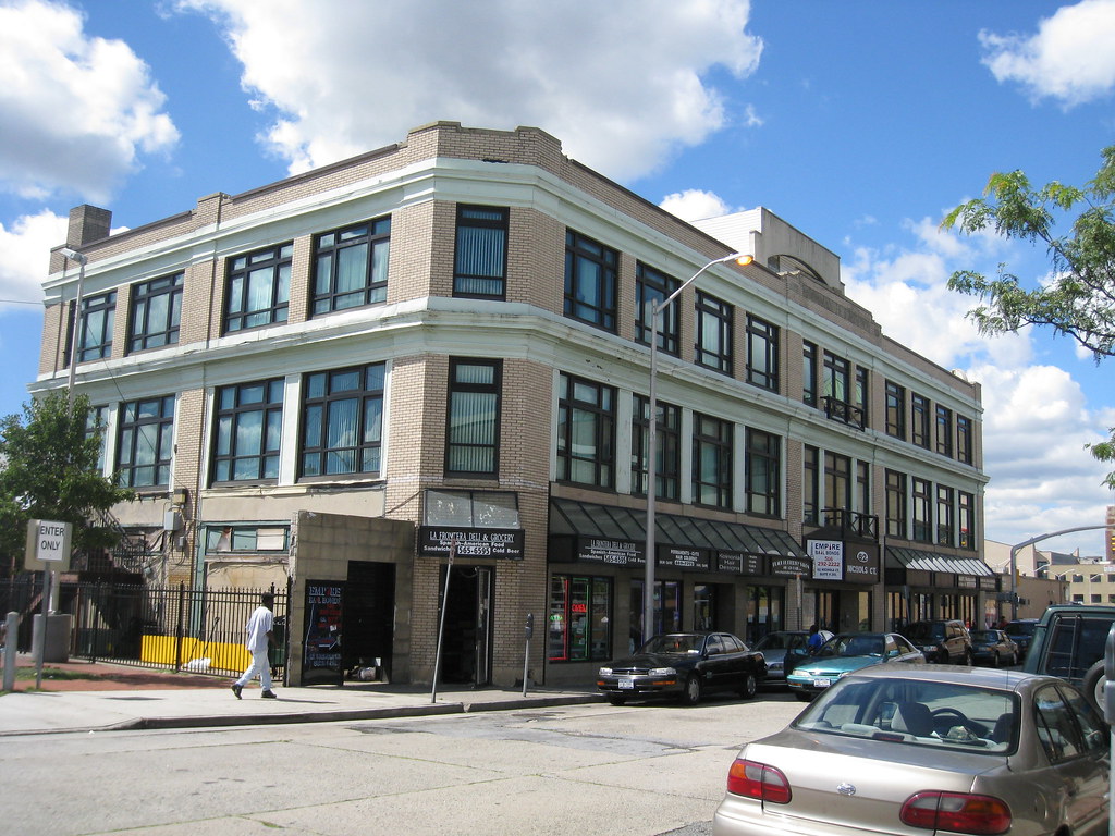
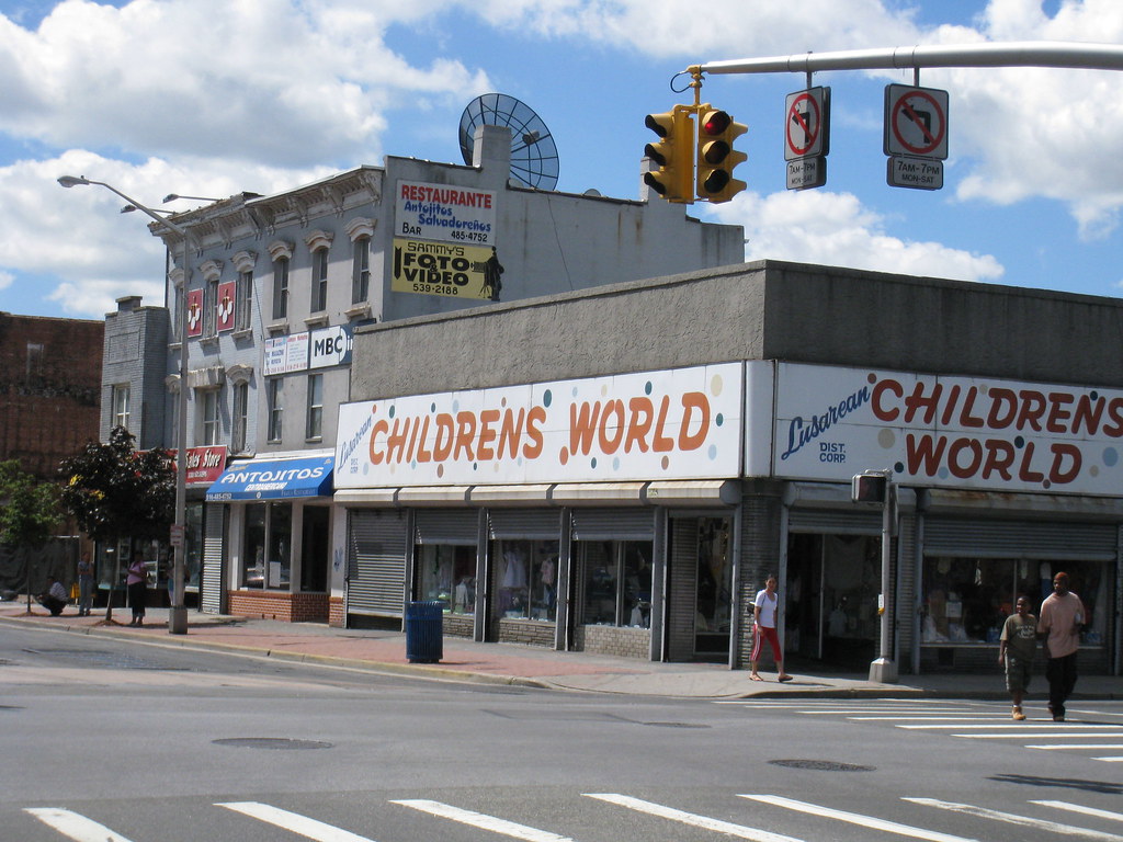
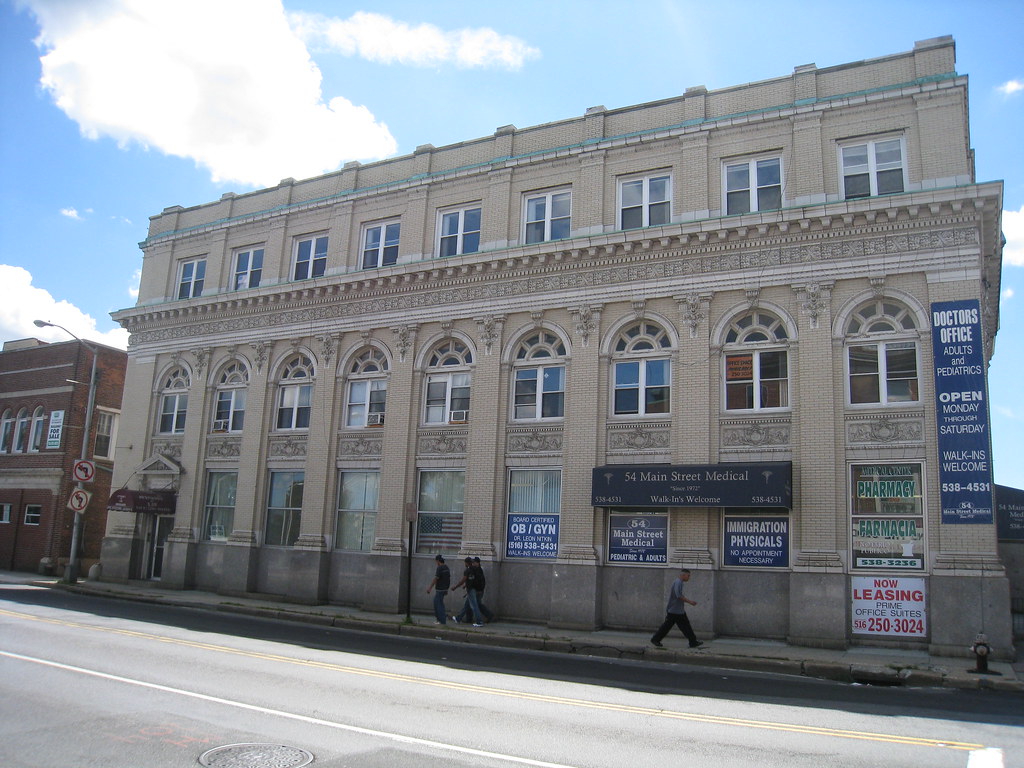
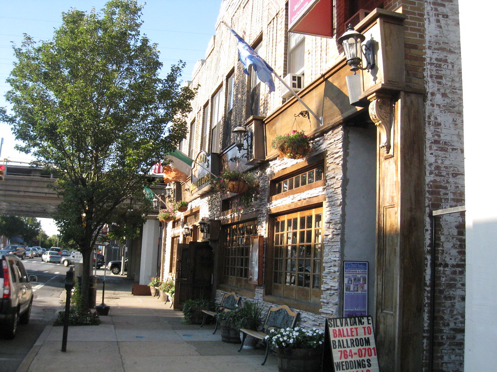
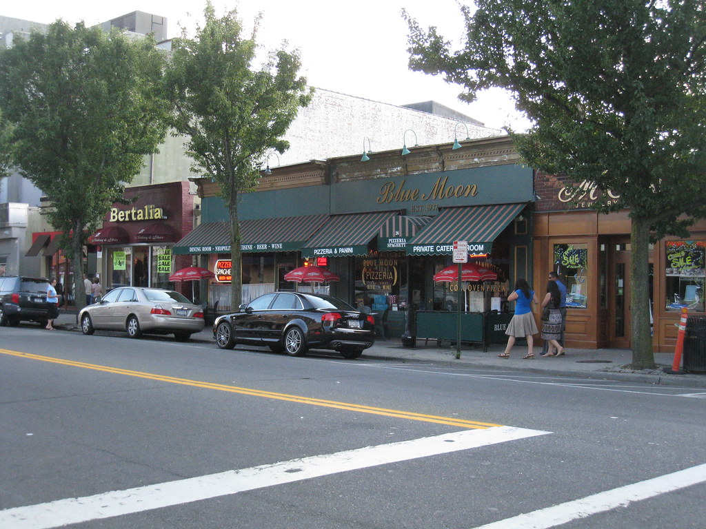
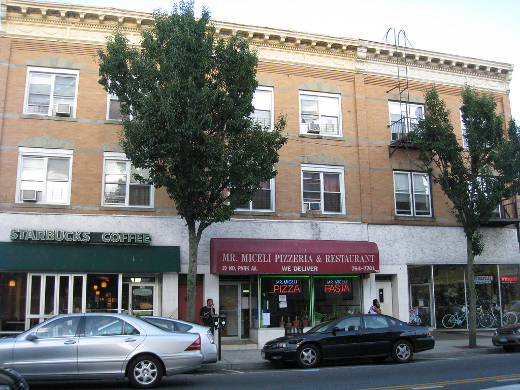
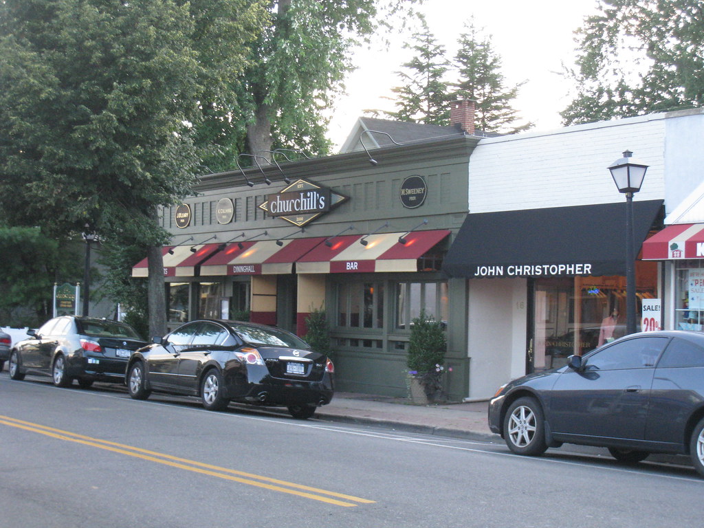
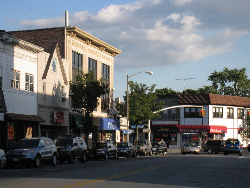
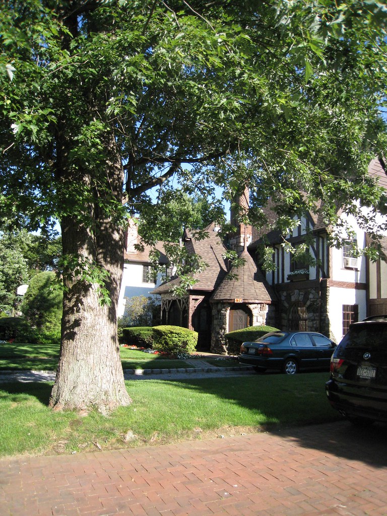
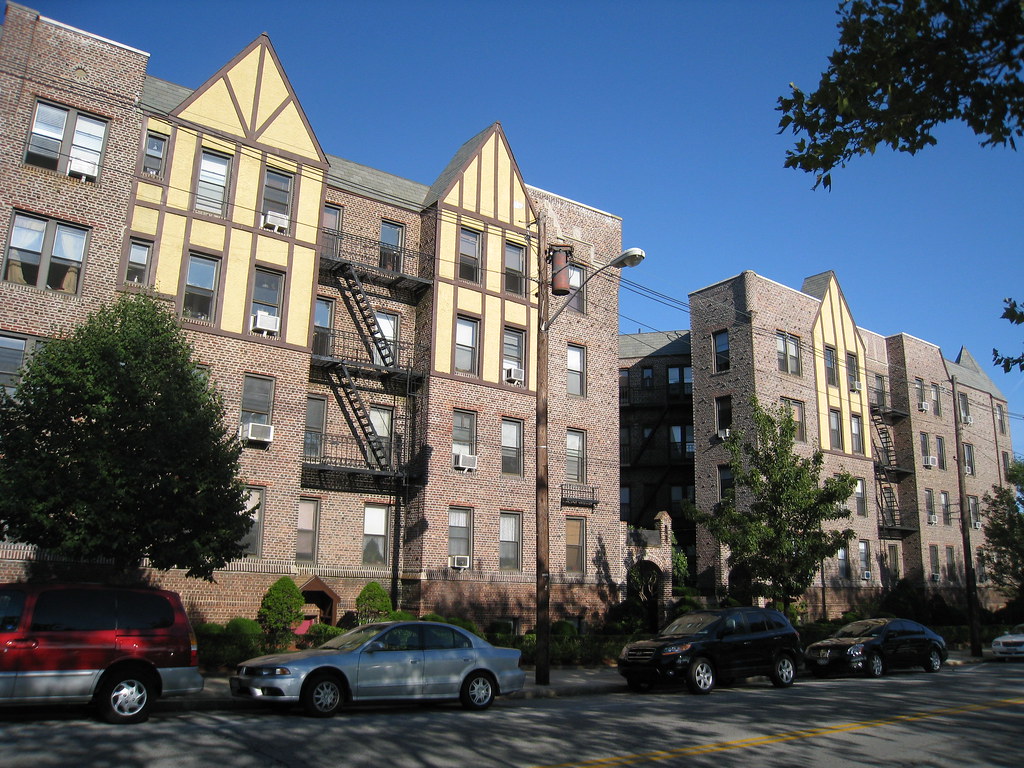
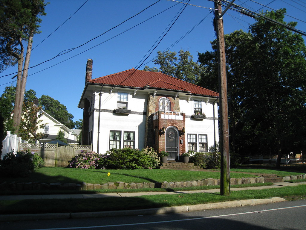
New York is so diverse, it’s like a world in itself, a place that you’ve got everything. I bet that even you’ve wandered all over the NY area, you can still find an unknown corner that surprises you, you can`t never get bored of NY.
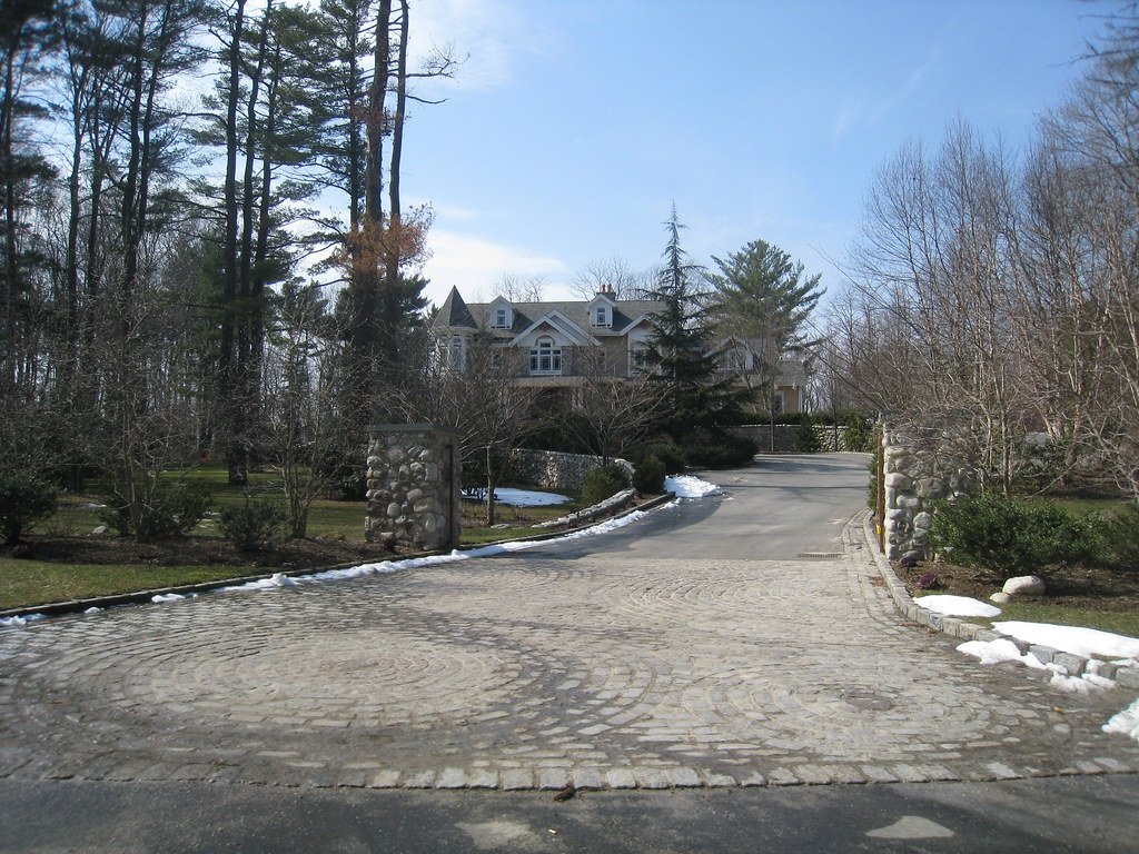
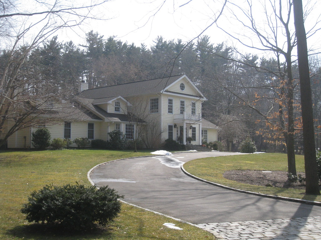
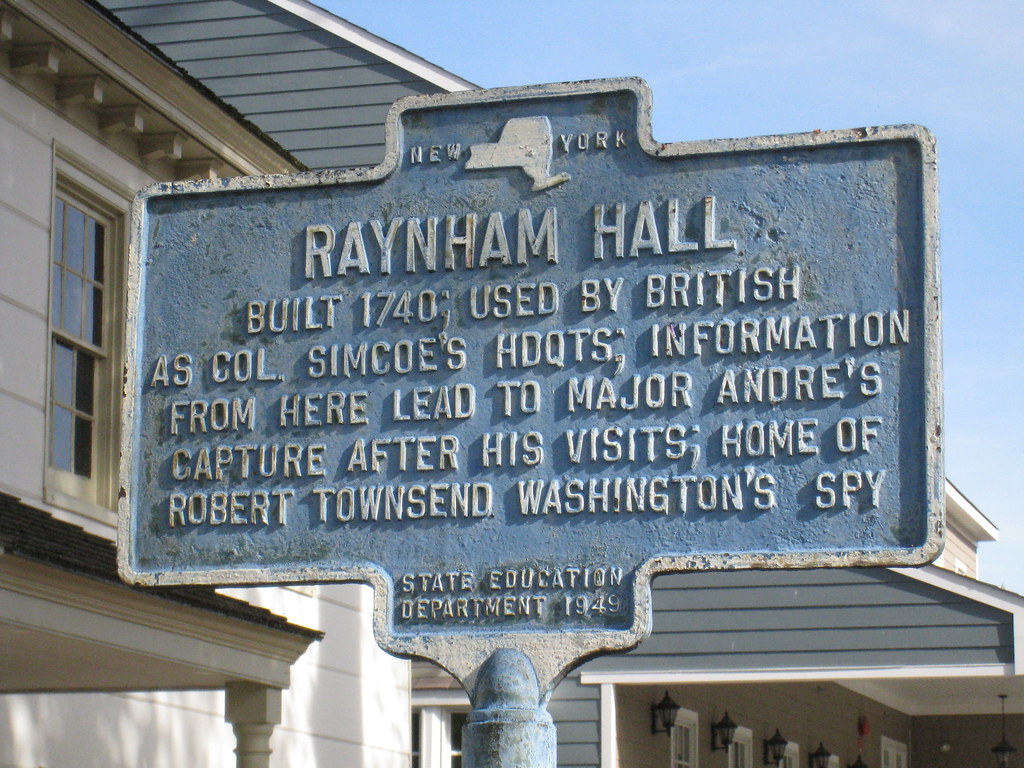
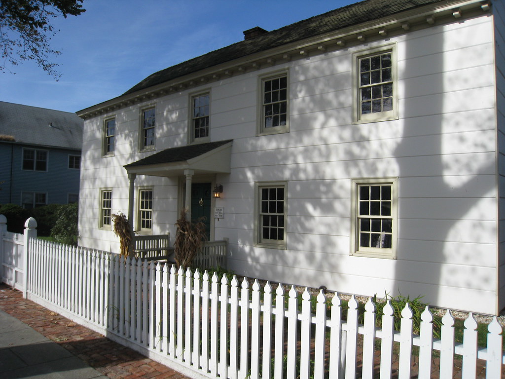
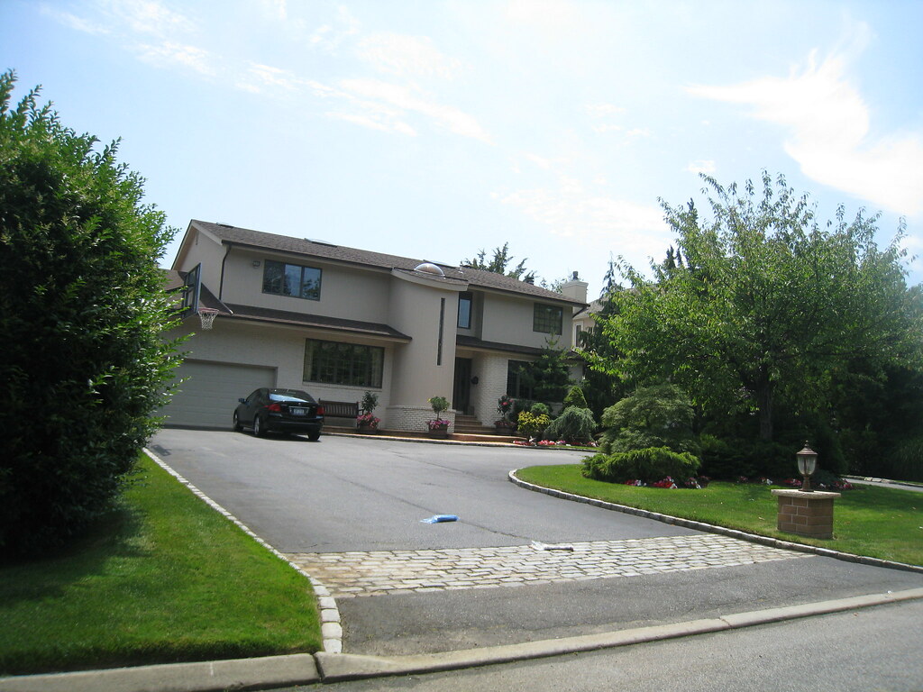
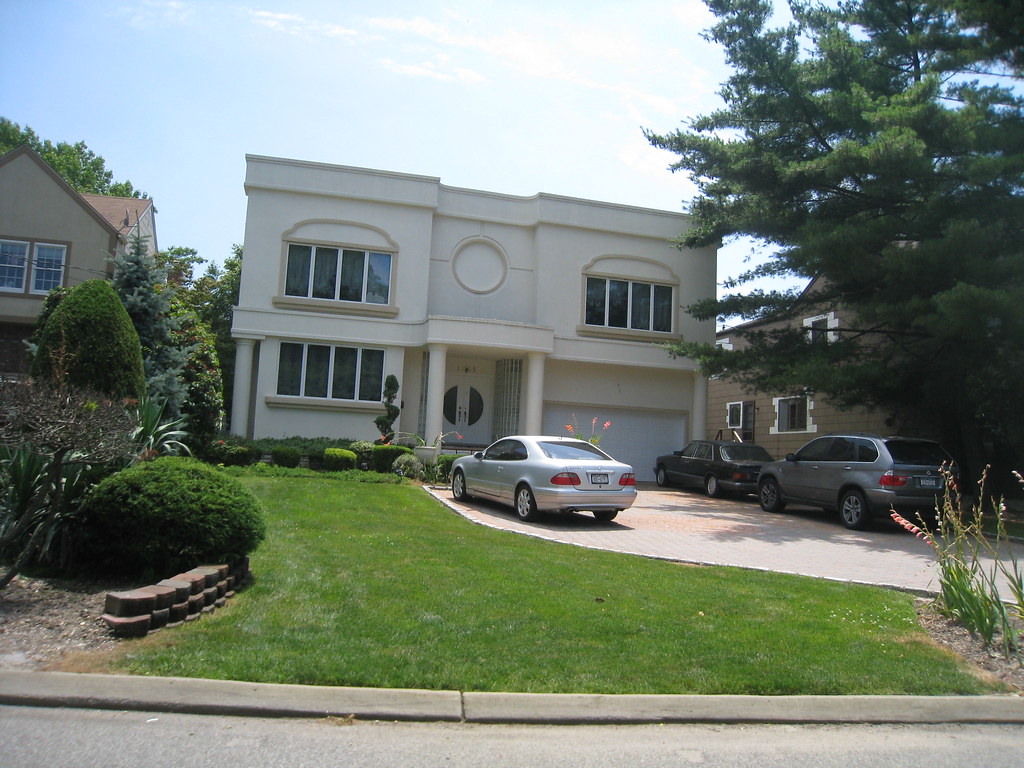
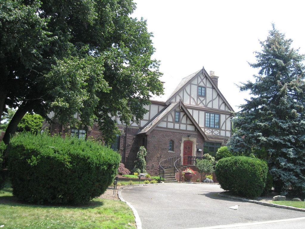
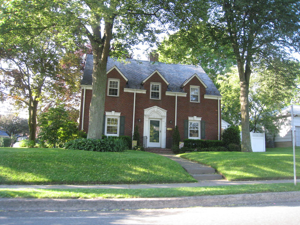
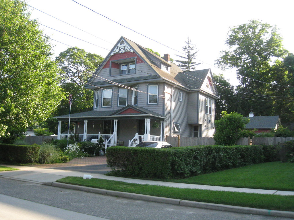
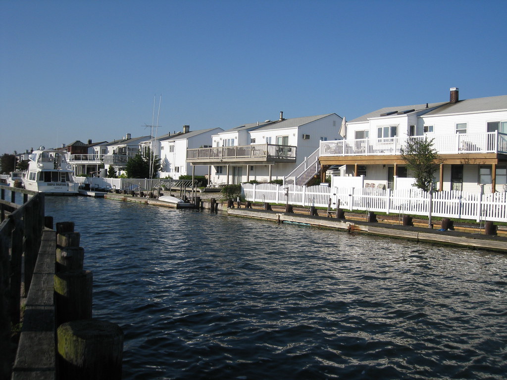
I’ve been taken your tour in SSC, already seen Long Island, Westchester, New Jersey and Staten Island and some of Brooklyn (I began from the outside in). In this thread it is a good different approach that you also order them thematically.
Well, congratulations for your work.
Reply With Quote
     
     
  #186  
Old Posted Apr 7, 2012, 6:44 PM
CCs77 CCs77 is offline
Registered User
 
Join Date: Dec 2011
Posts: 601
I give you these links of a competitor of you 
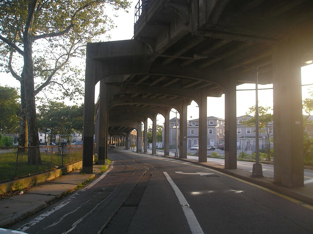
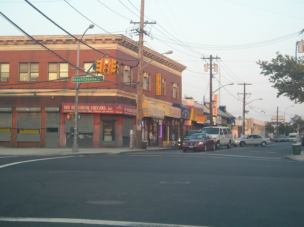
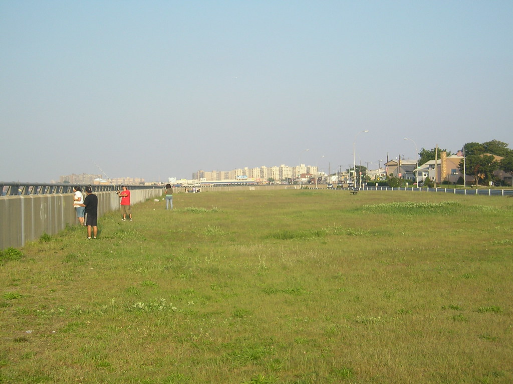
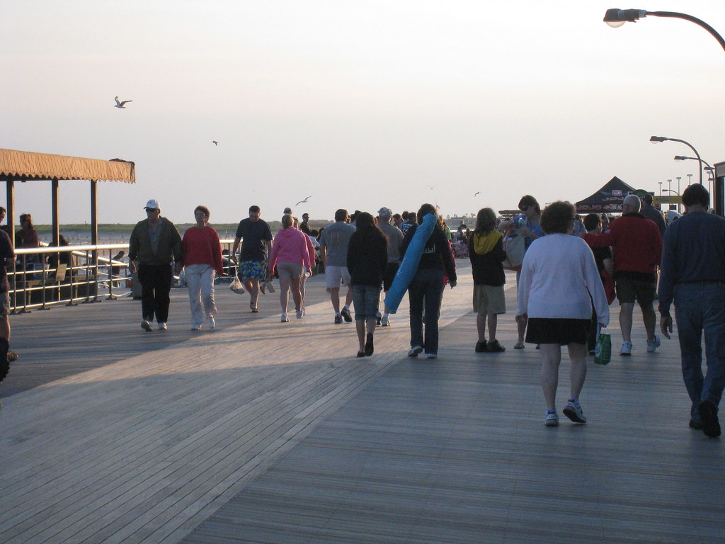
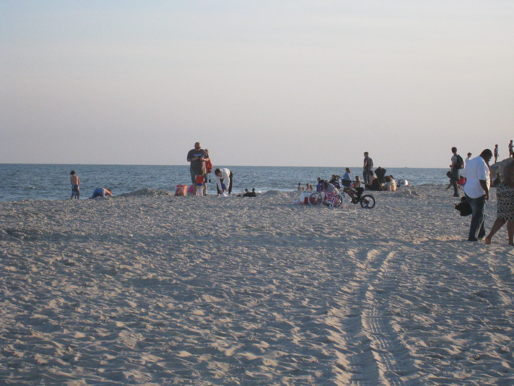
, a man called Matt Green, that already took a walk across the entire U.S. (from Rockaway, Queens to Rockaway, Oregon) and right now he is walking every single street of NYC, that’s like 8000 miles. He expects to accomplish this goal in two years.
Here is the link to the NY Times article with his story.
http://www.nytimes.com/2012/03/25/ny...1&pagewanted=1

And to his blog, where he traces his route, and post the photos he took.
http://imjustwalkin.com/
Reply With Quote
     
     
  #187  
Old Posted Apr 8, 2012, 5:14 PM
nygirl1 nygirl1 is offline
Registered User
 
Join Date: Sep 2005
Posts: 566
^^ Very interesting. A budding Forrest Gump....read some blogs and saw some pics. I was first
__________________
Brooklyn: The Motherland.
Reply With Quote
     
     
  #188  
Old Posted Apr 18, 2012, 1:06 AM
nygirl1 nygirl1 is offline
Registered User
 
Join Date: Sep 2005
Posts: 566
The best of Long Island

Well I decided to give the best of's a break as well as posting anything in general but I'm back and ready to slap you all with some Lawnge Eyelannd. Nassau County with over 1 million residents is an intriguing place, one with many different faces and tons and tons of history--some of the most interesting in fact. I came out here with a pre-conceived notion that it would probably be one of the most boring of all regions to tour around the metropolitan area but since traveling through the quaint seaside villages, railroad cores, upscale hamlets and its monotonous suburban towns many myths about this place have been debunked. What we consider suburbs here could be small citys elsewhere, the beaches were a real delight and some of the wealthiest people in the country call the place home. Long Islanders are quintessentially ...well, Long Island. Many would think the place entirely exists in the shadow of New York City but this place has a way about it, hard to explain but they're no slouch out there on the island and they'll let you know in many ways just how much they think they sit in anyone's shadow. Off the Island we'd consider the place the boondocks filled with uncultured yahoo's with annoying accents but this is home to all peoples, working in all fields living in picturesque communities many with a skip and bustle in their own rights surrounded by fantastic parks and beaches with amazing public transportain. The bus system out on Long Island is quite extensive and almost every neighborhood has it's own station or is situated close to a town with one. You could, if you wanted live out there car free, it's that convenient. The beauty of Nassau County is that it has the best of both worlds. There you have the peace and quiet of most suburbs across the country and a quick ride to the city...sitting between the hustle and bustle of New York City and the quiet, quaintness of Suffolk County this really is a place to be. I'll admit some of these posts are going to be a bit large but I assure you it is all well worth it. THESE are the suburbs of New York City, welcome to them.....Suburban America....eat your heart out.


Like all other tours we'll start out north west and make our way across the north shore toward the Suffolk County border then we will head south through eastern Nassau County toward the south shore then we will zig zag some through the center of the county til we get to the south western section and end it all along the Nassau County Beaches.

To start it all off, a sample.

Franklin Square is a residential community in western Nassau County. It was settled in the 17th century on the grassy Hempstead Plain. It remained a farming community until the middle of the 19th century until a Hotel was built where Hempstead Turnpike sits today. The community blossomed around the hotel and Germans began settling in large numbers. The National Bank of Franklin Square was established around this time and grew to be very successful but failed under the constraints of the Great Depression, the building still stands today on Hempstead Turnpike. In the 1940’s and 1950’s Italians began moving into the area escaping the cramped conditions of the city. They remain the largest group in the area today.


New Hyde Park is a village in western Nassau County. The area was settled in the late 17th century by Thomas Dongan who built a mansion on a large estate granted to him by the governor of the colony. The estate was sold to George Clark in the early years of the 18th century who used it to raise cattle. A small dairy farming community rose up on this section of the plain and Clark named it Hyde Park in honor of his wife. By the late 19th century the rail was built through, a post office was constructed and businesses were established on Hempstead Turnpike, the name was changed to New Hyde Park and incorporated in the 1920’s. Today it is a typical central Nassau county bedroom community with a large Italian, Irish, Jewish, Greek community.


Lattingtown is an affluent village in northern Nassau County. It was settled in the 17th century by Richard and Josiah Latting who farmed the land. Lattingtown remained scarcely populated farmland until wealthy barons and industrial capitalists began purchasing large parcels of land to build estates on. It is almost entirely residential today with little in the way of shops and entertainment and most use nearby Glen Cove and Locust Valley for that. The wealthy still live in large homes and chateau-like mansions along rolling hills of the village. The town, which sits on the north shore enjoys public parks and beaches. The Bailey Arboretum also lies within the community.


Eisenhower Park is centrally located on Long Island in the town of East Meadow. It serves as Nassau County’s “Central Park” and is larger than the actual Central Park in Manhattan. Eisenhower’s major development began during the depression era in the 1930’s. It became part of the county park system in 1944. Before becoming a public park for the growing populations of Nassau County it was part of the Salisbury Country Club. When it was first established it was named, Nassau County Park but the name changed in1969 when the park was rededicated to Dwight Eisenhower, the 34th president of the United States. The park is 930 acres and consists of an 18 hole golf course, the Nassau County Aquatic Center, a September 11th memorial separated by a pond across from a beautifully designed veterans memorial. There are 3 football fields and 4 soccer fields in the park 16 lighted tennis courts and 17 baseball fields. Needless to say Eisenhower Park offers a wide range of athletic activities. Harry Chapin Lakeside Theater is a popular open air theater that offers concerts and movies in the summer months. Two miniature golf courses and several bike and jogging paths also traverse the park. One can grab a bite to eat at the Carltun on the Park restaurant or enjoy some barbeque at one of the hundreds of public grill pits.


Jones Beach is a state park on a barrier island off the south shore of Long Island’s Nassau County. The park is renowned for its beaches which are laid out in sub-sections and serves as a popular summer destination for metropolitan New York. Jones Beach receives six million visitors a year making it the most heavily visited beach on the east coast. The park features bath houses, a band shell, a two mile boardwalk, golf course and the popular outdoor arena, the Nikon Theater. Jones Beach was created when Robert Moses was president of the Long Island Park Commission and was part of the ambitious parkway system that Moses is famous and infamous locally for. The park was built during the 1920’s and many of its buildings feature Art-Deco architecture. The pinnacle of its architectural splendor serves as a terminus for the Wantagh State Parkway and is a near 400’ Italianate style water tower. The beach hosts the New York Air Show every May and every summer Nikon Theater fills up for concerts and events.


New Cassell is a hamlet in the center of Nassau County. It was settled mid 17th century by Hessians and at times referred to as Gold Coin City or Stewartsville. There they built up a small community of cottages. It remained this way until the end of the revolutionary war when Hessians who favored British rule were phased out. The town which is somewhat in decline today has historically seen high poverty levels dating back to the 19th century. Rail had briefly propelled the community by the end of the 1800’s and due to its affordability and looser racial restrictions of renting during white flight from the city families from all backgrounds settled here during the middle of the 20th century. During the 1980’s and 1990’s most white families moved to nearby Westbury or into Levittown leaving New Cassell mostly African American. However it was during this time that most family owned establishments shut down or moved out. Industrial companies briefly contracted out in the area but they too left. It had become by the 21st century a blighted, run down and dangerous section of Long Island as gangs and drugs became prevalent. Recently New Cassell has seen minor urban renewal and some redevelopment but not enough has been done to lift it out of decline. The neighborhood is home to most lower income African American working classes but also a very large Mexican and Salvadoran population.


__________________
Brooklyn: The Motherland.
Reply With Quote
     
     
  #189  
Old Posted Apr 18, 2012, 1:24 AM
nygirl1 nygirl1 is offline
Registered User
 
Join Date: Sep 2005
Posts: 566
The best of Long Island: Part 1 Great Neck, Manhasset, Munsey Park & Russell Gardens

Great Neck is large town on the north shore of Long Island’s Nassau County. It was settled in the late 1600’s as farming lands and remained that way until the late 19th century when the railroad was constructed through and serviced the area. It transformed from a scarcely populated farming community into a populated commuter suburb practically over night. Great Neck boomed with many businesses, lounges, restaurants and shops and came to symbolize the decadence of the roaring 20’s. As actors and actresses flocked to the posh streets surrounding Great Neck’s downtown Plaza it became sought after by New York City’s upper middle class looking to escape life in the big city. The area also took on large populations of Brooklyn and the Bronx’s former Jewish population and soon became known as a haven for Jews looking to flee the city. In the 1940’s after WW2, the Ashkenazi sect of Jews came to Great Neck and established synagogues and businesses that cater to their people. During white flight the population jumped again. Great Neck became the ideal commuter suburb, with a bustling central business district, rail access and spacious tree lined residential blocks. Iranian Jews began settling the area in the 1980’s after the Islamic Revolution in 1979. Today they dominate Great Neck which now serves as the center of life for the Persian community of Metropolitan New York. Iranian synagogues and businesses popped up all over Great Neck next to the Ashkenazi businesses and houses of worship which sat next to older Jewish synagogues and businesses. Great Neck has become a cornucopia of Jewish sects living side by side in the affluent community on the north shore. One of the newest groups to the area are the ultra orthodox Jews. Recently East Asian populations have begun moving into Great Neck and as the demographic shifts, the evidence can be seen in the bustling center of town reflected in its many businesses.


Manhasset is a hamlet on the north shore of Long Island’s Nassau County. Manhasset was claimed in the 1620’s by the Dutch West India Company. Quakers and Englishmen were cast out of the area by the Dutch until the 1660’s when the colony submitted to English rule. After this time the English and Quakers came to dominate the tiny hamlet and built a tight-knit farming community. The area suffered at the hands of the British forces during the revolutionary war when red coats destroyed much of the village before occupying it. After the war and recuperation, Northern Boulevard opened up as a toll road in the early years of the 19th century and benefitted the rising community greatly. As the 19th century progressed so did Manhasset and its oyster industry which came to dominate the economy of the region. The railroad arrived near the turn of the 20th century bringing in wealthy families looking for country homes and easy access to Manhattan. Today the area is still quite affluent and considered among the best to raise a family in the New York Metropolitan area.


Munsey Park and Russel Gardens are affluent bedroom communities near the north shore of Long Island. Both areas serve as quiet residential communities for white collar workers of Manhattan and nearby businesses and both are dominated by White Anglo Saxon Protestants.


Munsey Park:


Russel Gardens


__________________
Brooklyn: The Motherland.
Reply With Quote
     
     
  #190  
Old Posted Apr 18, 2012, 1:26 AM
nygirl1 nygirl1 is offline
Registered User
 
Join Date: Sep 2005
Posts: 566
The best of Long Island: Part 2: Roslyn

Roslyn is a north shore, Long Island, neighborhood. The village is nearly 400 years old, settled in 1643 by former Connecticut colonists. Once settled the village was named Hempstead Harbor. The area in general, visually exudes colonial history especially along its Main Street district where several buildings date back to the late 17th century and early 18th century. During the 1700’s mills were built in the area, the first paper mill in 1773. George Washington visited the area in 1790 after the revolution. The village grew throughout the earlier half of the 19th century, mostly planters and mill workers. Mid century the name of the village changed as many villages had been settled in Nassau County using the Hempstead Town name. The rail had been built through the village during the civil war era drawing in a larger population. As the town and its various industries grew, Roslyn began to build a name for itself among the Long Island Sound communities along the north shore. Street lights were installed at the turn of the century and the quiet micro-commuter suburb built it’s picturesque, Roslyn Park in 1931. Jewish families from neighborhoods in The Bronx and Brooklyn flocked to the village around the 1950’s and 1960’s and are today the largest established demographic in the area. Mostly reformed and long assimilated with the old White Anglo Saxon Protestant community that originally dominated Roslyn they thrive and built Roslyn up as one of the most affluent neighborhoods in Nassau County.


__________________
Brooklyn: The Motherland.
Reply With Quote
     
     
  #191  
Old Posted Apr 18, 2012, 1:29 AM
nygirl1 nygirl1 is offline
Registered User
 
Join Date: Sep 2005
Posts: 566
The best of Long Island: Part 3: Glen Cove and Sea Cliff

Glen Cove is a small Long Island, north shore city. Glen Cove was settled in the 1660’s when Joseph Warwick of Rhode Island purchased up to 2,000 acres of land from the local Indian tribe. The developing village was first named Musketa Cove. As Musketa Cove developed it opened up to its water front, maritime industries flourished. A saw mill and gristmill were built and shipping lumber from the interior of the island to Manhattan provided the community and its waterfront a cash cow. Proprietors and their families built homes throughout the area. New Englanders fleeing from the King Philips War began to settle in Musketa Cove. The community grew gradually during the first half of the 18th century. It was divided between patriotic colonists and colonists loyal to the British Crown during the American Revolution. Clay mining was booming during the early years of the 19th century, shipped off the waterfront and marketed in Manhattan. A steamboat service to shuttle people to and from Manhattan and Musketa Cove was established by the towns people and Cornelius Vanderbilt, a tycoon of industry, though many from New York City were reluctant to visit the area. Most were unable to distinguish the native name Musketa with mosquitoes and so a name change was called for in 1834. The suggestion, Glen Coe (a city in Scotland) was misheard as Glen Cove, which the residents agreed on in the end. Glen Cove boomed after this and turned into a resort community. Dozens of hotels were built up near the steamboat landing as were Oyster bars, Saloons and boarding houses all built for New York’s wealthy classes who came to summer in the area throughout the 19th century. By the 20th century an influx of wealthy industrialists, bankers and businessmen came to Glen Cove. They built up lavish estates along the waterfronts creating what would become the beginning of Long Island’s “Gold Coast” which begins in Glen Cove and sprawls deep, all the way into far off Suffolk County. Starch manufacturing businesses were established in the small budding city and hundreds upon hundreds of laborers began to settle in the homes being built up near the factories. The community grew significantly during the first half of the 20th century and became the ideal commuter suburb of New York City during white flight. Today the area is racially and economically diverse with a thriving business district, very much so changed since its days as a resort village for the wealthy of New York.


Sea Cliff is a tiny, picturesque hamlet along the north shore of Long Island. Throughout the 17th and 18th century when other areas of Long Island were being settled by Dutch and British colonists, Sea Cliff remained undeveloped but in close proximity to Glen Cove. In the late 19th century a Methodist organization purchased land in the area and it served as a religious retreat for residents of New York City, Brooklyn and people in the thriving villages of Queens. Revival meetings, popular at the time were held at a tabernacle but while interest in revivalism faded, Sea Cliff transformed into a popular summer destination for residents of New York City. It soon became a major East Coast resort community and people swelled the area in the summer coming by steamboat or train. Many began to settle in Sea Cliff year round, escaping the cramped island of Manhattan and built large Victorian homes which characterize the community today. As the automobile grew more popular other areas further from Sea Cliff and often from New York all together attracted vacationers who would have normally made their way to Sea Cliff. The community remained despite the dwindling of its resort image and continued to grow slowly. Sea Cliff today is not all too different than Sea Cliff in the early 20th century a notion one would perceive visually alone. The area could hardly be considered diverse as it is home to a large white population, over 94% if I am not mistaken and largely upper middle class.


__________________
Brooklyn: The Motherland.
Reply With Quote
     
     
  #192  
Old Posted Apr 18, 2012, 1:33 AM
nygirl1 nygirl1 is offline
Registered User
 
Join Date: Sep 2005
Posts: 566
The best of Long Island: Part 4: Oyster Bay, Sagamore Hill and Cold Spring Harbor

Oyster Bay is a picturesque old Hamlet on the north shore of Long Island that straddles the border of Nassau and Suffolk Counties. The area was settled by the Dutch in the mid 17th century who noted the great bounty of oysters that collected along the Bay of the rocky peninsular region. Many Quakers settled in Oyster Bay to escape religious persecution in New England drawn in by the much, much more tolerant Dutch. Many notable Quakers came from Oyster Bay and this includes the Townsend family who ran Raynham Hall which came to become a patriotic meeting hall during the revolutionary war. Oyster Bay became a Patriot Haven during this time and many flocked to build homes and farms near the bay. The area increased its population slowly throughout the 19th century and by the late decades of the century welcomed the Long Island Railroad which established a connection between Boston and New York via Steamboat. Around the time of the rail boom in Oyster Bay, the 26th president of the United States, Theodore Roosevelt chose to make it is home and built a Victorian mansion high up on Sagamore Hill which at the time clearly overlooked the village and bay. Theodore Roosevelt became the beloved son of Oyster Bay which continues to honor the president evident all over town including a park on the shoreline named after the president and the landmarked Snouders Drug store which is the location of the first telegraph service in Oyster Bay. In fact Roosevelt, during his presidency lived primarily on the north shore of Long Island as opposed to the white house in the District of Columbia and made frequent trips to the drug store to use the telephone. Snouders is not the only historic landmark in Oyster Bay, it, along with Raynham Hall are featured among a handsome ensemble of historically valuable buildings like the Moore building, Octagonal Hotel and several homes. The area remained predominantly white up until the turn of the 21st century when Latin Americans, mostly Salvadoran and Mexican began moving into affordable homes near the center of town. Other than Theodore Roosevelt, Oyster Bay is home to former tennis star, John McEnroe, The Piano Man-Billy Joel and composer John Barry. The hamlet was also the setting for the comedic film, Meet the parents starring Robert Deniro and Ben Stiller.


Sagamore Hill was the home of Theodore Roosevelt, the 26th president of the United States. Roosevelt lived in the late 19th century Victorian mansion from 1885 until his death in 1919. The land which sits on Cove Neck in Oyster Bay was purchased by Roosevelt in 1880 and extends from the top of the hill down to the beaches of the bay. I unfortunately did not travel to the beaches when I photographed the grounds as I was pressed for time that day but I must say the view is SPECTACULAR, sorry for that information. The house and the land it sat on became the primary residence for Roosevelt and his family and was used during his presidential years much more than the White House. The Russo-Japanese war was mediated by President Roosevelt in 1904 inside the home. Roosevelt died in 1919 in the home but Sagamore Hill remained in the Roosevelt family until the 1950’s when family members donated the home to a preservation society and transformed it into a museum. In 1962 it was established as a historic site and today is open daily for public tours.


Cold Spring Harbor is a cozy hamlet on the north shore of Long Island straddling the Nassau and Suffolk border. It was settled in the 17th century and quickly became popular for its natural cold fresh water springs that flow throughout the community. For many years colonists, attracted by the many opportunities in maritime industry flocked to the area and built homes along the waterfront and farms in the interior. Throughout the 18th century the hamlet increased its population and became home to oyster harvesters, fisherman, farmers and businessmen looking to capitalize off of these industries. During the 19th century it became known for its milling industries but it was whaling in the middle of the 19th century which built Cold Spring Harbor up and the reason it rose to such prominence by the late 19th century. The railroad was also introduced to the region during this time as well and as the whaling industry declined the area built up Hotels and became a resort town. The population continued to flourish and Cold Spring Harbor became home to several cultural organizations. The town is primarily home to affluent white upper classes and is considered a bedroom community.


__________________
Brooklyn: The Motherland.
Reply With Quote
     
     
  #193  
Old Posted Apr 18, 2012, 1:36 AM
nygirl1 nygirl1 is offline
Registered User
 
Join Date: Sep 2005
Posts: 566
The best of Long Island: Part 5: Levittown

Levittown is a hamlet in eastern Nassau County deep in the interior of the Island and gets its name from the firm Levitt & Sons, Inc. credited with building the suburban bedroom community. The Levitt firm began building a planned community consisting of pre-fabricated houses along cul-de-sacs and winding roads forming no specific pattern in the late 1940’s for returning veterans coming home from WW2. 30 homes went up a day in the neighborhood which is the first of four Levittowns built during this time in 3 different states and one in Puerto Rico. By the end of the decade a new plan was unveiled which the Levitt firm coined as “Ranch Style” which became the popular style there-after in Levittown though by this time tens of thousands of cookie cutter pre-fabs dominated in total monotony. Today the Ranch Style home is among the most commonly built and in existence in post war suburbs. Levittown is the first truly mass-produced suburb and regarded as the archetype for post war suburbs throughout the country. In the original rental agreement, there was a strict stipulation that homes not be sold to any families outside of the Caucasian race and it remained this way for years. Even today the neighborhood which is of course racially integrated is home to an extremely small population of non-whites.


__________________
Brooklyn: The Motherland.
Reply With Quote
     
     
  #194  
Old Posted Apr 18, 2012, 1:45 AM
nygirl1 nygirl1 is offline
Registered User
 
Join Date: Sep 2005
Posts: 566
The best of Long Island: Part 6: Massapequa and Biltmore Estates

Massapequa is a hamlet on the south shore of Long Island in Nassau County. The Biltmore estates are a sub-section for the area’s wealthier residents along the waterfront and canal systems. The region was settled in the 17th century by the Dutch who built a small fort in the area. Woodland was cleared for council grounds on land Indian tribes thrived on. By the late 18th century a number of estates owned by wealthy Long Island families dotted the region, many, Tory families loyal to the British Crown. These families were exiled and their properties were confiscated by American Patriots after the war. The area grew slowly during the 19th century. Most who settled in Massapequa were farmers, Quakers, wealthy families, those who came to harvest oysters and thrive among other maritime industries. The rail services of the Southside railroad reached Massapequa and like many other areas in Nassau County along waterfronts, Massapequa developed as a resort community. Establishments built up in town, bungalows and rental homes were built throughout the area and Hotels were constructed to accommodate vacationers from the city. A community had built up around these industries, old and new and institutions like schools and a post office were established. After the turn of the century as the bulk of the neighborhood had developed in what is considered the northern section of Massapequa, the south was still a wooded thicket covered in oak brush until the 1920’s when a real estate company bought up land in the area and began to develop graceful homes for the upper middle classes of New York City to move to and live in year round. As white flight created a larger demand, pre-fabs, popularized during the Levittown developments popped up all over Massapequa. Waves of second generation Italian, Irish, German and Jewish middle-working classes came to Massapequa. Booms occurred again during the 1970’s and 1980’s and continued through the 1990’s. The area is characterized by its working class population in the north the majority of which is today 3rd and 4th generation American but taking on Hispanic new comers while the Biltmore-Estates consists of a wealthier, white collar- upper class. Some say Biltmore-Estates is also home to Italians connected to the mafia but there is no real proof of this, though one can imagine.


__________________
Brooklyn: The Motherland.
Reply With Quote
     
     
  #195  
Old Posted Apr 18, 2012, 1:47 AM
nygirl1 nygirl1 is offline
Registered User
 
Join Date: Sep 2005
Posts: 566
The best of Long Island: Part 7: Merrick and Freeport

Merrick is thriving Hamlet along the south shore of Long Island in Nassau County. In the 17th century when the area was settled it was called Meroke Woods after the Algonquin tribes that inhabited the region in large numbers and the abundant woodlands. The Puritans were the first Europeans to settle in Merrick escaping religious persecution in England. Prior to the Revolutionary war Merrick was a trading center due to the waterways that reached deep inland from the Jones Inlet. During the time period around the War of 1812 buccaneers used the coves and canals to sail up to the docks and rob wealthy merchants. There was a certain lawlessness to the region in the early 19th century that simmered down after residents of Merrick armed themselves and began to capture raiding pirates who attempted to terrorize the community. By the middle of the 19th century Merrick became home to surge of religious activity, most notably, Methodists who held 10 days of service, annually. Cottages were built up for revivalists retreating to the area for these services and soon became year-long residences. In the late 19th century the Southside railroad, a predecessor to the current Long Island Railroad was introduced the region opening it up to large populations. Merrick developed into a commuter suburb by the turn of the century and as the 20th century progressed it became home to a thriving middle class but the major population boom came during the 1950’s and 1960’s when New York City experienced White Flight which introduced second generation Irish and Italian working class families to the neighborhood. During the late 1980’s and 1990’s Jewish families, mostly reformed began to dominate Merrick and still do today. Today Merrick is a commuter suburb with tons of businesses, shops and restaurants that built up along Merrick Road which spans Long Island, east to west as well as being clustered around the rail station.


Freeport is a diverse incorporated village along the south shore of Nassau County on Long Island. Freeport was originally settled in the middle of the 17th century and called the Great South Woods until the name changed to Raynortown after Edward Raynor, a herdsman moved into the region. Throughout the 18th century the area, which sits on several waterways that connect it to the Atlantic Ocean developed into a tiny fishing village and remained this way for quite some time. Residents voted to change the name of the village to Freeport and during the years that followed it developed into a center for commercial oystering. The area developed further after the Southside Railroad built through. A street grid was formed and elegant homes were built in several styles throughout the town. Freeport then became a tourist destination for boating and fishing. It became extremely popular for actors and actresses when New York was home to the film industry in the early years of the 20th century. In fact it was Nassau County’s celebrity haven. Trolleys ran through Freeport from the turn of the century through the 1920’s they operated along Main Street and the central core down to the Nautical Mile where Ferry’s could transport people to the beaches of Nassau County. The village became popular for shopping and many along the south shore came to Freeport to do business. During the 1950’s and 1960’s the population jumped again as many fled New York City for the prosperous community but in the decades after as shopping malls were becoming popular, nation-wide, Freeport refused to build one and the area and it’s image as a shopping center declined. African Americans and Puerto Ricans began moving into the area during the 1980’s and lived side by side with the old Irish and Italian population. They soon dominated the village. Today the demographic shift remains in the Latino Community, although Puerto Ricans have been replaced in great numbers by Salvadoran and Mexican new comers. The town, however, by this time had degenerated. Projects along Sunrise highway never got off the ground, businesses shut down and the area experienced its own white flight around the turn of the 21st century. Today the area has seen significant rehabilitation which has pulled it out of its short-lived decline however gangs and drugs continue to plague the community. One gang, most notably is the MS-13 who have committed several murders in the area over the years. Diversity is one thing that has remained constant in Freeport. The village is still home to a changing demographic but is rich in culture with Mexican and Salvadoran, Dominican and West Indian, Italian and Puerto Rican, Irish and Jewish populations. The neighborhood celebrates a festival each year to celebrate its maritime history along the Nautical Mile. The mile is a popular summer drinking destination for the “20 and 30 something” crowd who grew up along the south shore.


__________________
Brooklyn: The Motherland.
Reply With Quote
     
     
  #196  
Old Posted Apr 18, 2012, 1:49 AM
nygirl1 nygirl1 is offline
Registered User
 
Join Date: Sep 2005
Posts: 566
The best of Long Island: Part 8: Hofstra University

Hofstra University is a private institution of higher learning located within Hempstead, New York in the middle of Nassau County. Hofstra originally was established as an extension of NYU and built on the former estate of a wealthy couple that donated their land specifically for the school in their wills. In 1939 Hofstra officially separated from NYU and was granted an absolute charter. In the 1960’s the Mitchell Air Force base which was situated near the campus closed down and Hofstra was granted several acres of which they would continue to extend their institution. Its divisions were reorganized into “schools” in the same decade. The campus is composed of 113 buildings on 240 acres of land which straddles the neighborhoods of Hempstead and Uniondale and noted for a series of presidential conferences. It’s student body of 13,000 consists of mostly locals from nearby neighborhoods but several out of state students live on campus in it’s midrise dorm clusters. Several hang out spots (lounges and bars) line Hempstead Turnpike and have created a small night-life district in a relatively declined area of Nassau County. During the 1990’s and early 2000’s the University was plagued by a high suicide rate, this trend has since stopped and it remains a top school on the island.


__________________
Brooklyn: The Motherland.
Reply With Quote
     
     
  #197  
Old Posted Apr 18, 2012, 1:51 AM
nygirl1 nygirl1 is offline
Registered User
 
Join Date: Sep 2005
Posts: 566
The best of Long Island: Part 9: Mineola

Mineola is a village in the middle of Nassau County. It was settled in the 18th century on the grassy Hempstead Plains and used mostly for planting by Dutch and English settlers. Mineola was one of various communities started on the plain. After Nassau split with Queens County when New York consolidated it in 1898 it was voted to become the county seat. Mineola is also home to Winthrop University Hospital founded in 1896. The area became home to the new flight industry favorable for its flat terrain. Charles Lindbergh began his historic flight from nearby Roosevelt Field. Main Street was a center of life for local farmers. As the 20th century progressed post offices, theaters, businesses and the population flourished. The Long Island Railroad created a station and Mineola became a densely populated commuter suburb with a small core forming around its railroad station that eventually began to branch out, north, south, east and west. Farmland was sold off and homes were built in their place creating a suburban community that surrounded the business core. Eventually Jericho Turnpike which runs east and west through the center of Nassau County replaced the old core in Mineola. The area opened up to middle-working class New Yorkers escaping the city during white flight, most significantly the Italian community. Today the area has a large concentration of Portuguese residents who now dominate but Mineola is also home to Italians and Greeks. It is predominantly middle class.


__________________
Brooklyn: The Motherland.
Reply With Quote
     
     
  #198  
Old Posted Apr 18, 2012, 1:53 AM
nygirl1 nygirl1 is offline
Registered User
 
Join Date: Sep 2005
Posts: 566
The best of Long Island: Part 10: Garden City

Garden City is an affluent upper class village in the middle of Nassau County. The village was founded in the middle of the 19th century by Alexander Turney Stewart, a Scottish millionaire who purchased farm land on the flat leveled Hempstead Plain. Garden City at the time was already inhabited by farmers living within the town of Hempstead but Stewart had transformed it into an upscale community with large estates and a main concourse with shops and restaurants. The community boasted the popular Garden City Hotel which has been rebuilt in the late 20th century and caters to diplomats visiting the Island. Educational institutions and Religious institutions were also constructed in the area throughout the late 19th century. As the 20th century turned the area continued to develop housing and attracting a wealthy population though this development came to an abrupt halt after the stock market crash of 1929. The neighborhood continued to grow however as it amassed a population boom following the depression years. The population boom slowed during the middle of the 20th century. The village by the end of the century became a quiet commuter suburb/bedroom community which had seen much activity in urban renewal projects. Department stores, café’s, boutiques, restaurants and businesses now line its main avenues. White Anglo Saxon Protestants dominate the community which is still upscale and attracting growing families although many from East Asian backgrounds also call Garden City home.


__________________
Brooklyn: The Motherland.
Reply With Quote
     
     
  #199  
Old Posted Apr 18, 2012, 1:55 AM
nygirl1 nygirl1 is offline
Registered User
 
Join Date: Sep 2005
Posts: 566
The best of Long Island: Part 11: Hempstead

Hempstead is a village in the center of Nassau County. In the middle 17th century, Robert Fordham and John Carman crossed the Long Island Sound with the hopes of creating a new town to settle. They purchased several thousand acres of the Hempstead Plain from local Indian tribes and a year later several families left Connecticut to settle on the plain, many of them Puritans. There, they farmed the land and began a settlement. During the American Revolution it was considered a haven for Tory families loyal to Britain. The area Hempstead remained predominantly agricultural for several decades longer until in the the 19th century when its population exceeded 1,000 and became connected to New York City by rail and turnpike. Hempstead became a major area for trade. Many prominent families built their homes in Hempstead making it the center for Long Island society. Merchants peddled everything from clothing to tobacco and candy out of Hempstead and its image as an area for trade developed into a major center for retail shopping. The village became a hub on Long Island for automobiles and home appliances during the 20th century. It had department stores and restaurants all over its central business district. As the Island boomed due to White Flight in the middle of the 20th century shopping malls became popular and in nearby Garden City the old air field, Roosevelt Field allowed for a major shopping mall to be built in its location. This detracted shoppers from Hempstead’s older department stores and sidewalk boutiques. In the 1980’s many businesses failed and the neighborhood began to decline, the old Jewish population that began moving into Hempstead following the Depression were now branching out to other areas including the Bellmores and Merrick. African Americans moved into the area from the inner city but the Hempstead they moved into was a shadow of its former glory. Unemployment was high and the area incurred steep poverty rates. With unemployment and poverty the old village saw a rise in crime. Crack was introduced during these years that plagued much of Hempstead resident’s former communities in Harlem, The Bronx and Brooklyn. Today the area is home to a mix of African Americans and Latinos. Salvadorans, Mexicans and other Central American communities now dominate the village. Today Hempstead is still suffering from poverty and drug problems, now gangs run several sections of the village and are increasingly violent, among these sections is the infamous Terrace Avenue where prostitution and the sale of crack and heroin is an ongoing problem.


__________________
Brooklyn: The Motherland.
Reply With Quote
     
     
  #200  
Old Posted Apr 18, 2012, 1:57 AM
nygirl1 nygirl1 is offline
Registered User
 
Join Date: Sep 2005
Posts: 566
The best of Long Island: Part 12: Rockville Centre

Rockville Centre is an upper-middle class village near the south shore of Long Island’s Nassau County. The town was settled by the De Mott family in the 17th century where few homes and a Methodist church once stood in the towns coastal plains. During the 18th century the population increased slowly. It formed from the town of East Rockaway but later separated. Throughout much of the early 1800’s the area remained in the De Mott family and was used primarily for farming but Rockville Centre had six mills which served the needs of south shore farmers and miners. During the 1860’s the railroad made its way into the small village. Rockville Centre by that time became a very popular location for the regions ship captains who built their homes with a large one room third story from which these captains could see the masts of their ships all the way down in the harbors of Ocean Side which is precisely why homes were built this way. Rail made getting into New York City easier and the area’s population began to boom with new residents other than ship captains. A public library, fire house and the south shore’s first high school opened in the later half of the 19th century. In 1891 the Bank of Rockville centre was founded and was the first commercial bank of it’s time on the south shore. This signaled the village’s economic importance to the region and highlights the growth that took place during this time into the turn of the 20th century. The village grew steadily as the 1900’s rolled on, and was considered one of the most affluent communities on the south shore. Middle class families thrived in bustling Rockville Centre during its Tudor boom. “Uptown” in the village centered around the railroad and catered to the needs of the residents but also smaller communities nearby. It was considered an important economic center for Long Islanders in the area during the 1920’s and 1930’s. Movie theaters, boutiques, restaurants and businesses thrived and apartment buildings were constructed uptown and near uptown to accommodate its growing population which by the time of white flight, around the 1950’s and 1960’s was in the tens of thousands as working class families from Brooklyn and other outer boroughs began moving into Rockville Centre. During the 1960’s and 1970’s the community changed drastically and urban renewal projects began to reshape the village. By the 1980’s, Rockville Centre had become a popular area for bars and restaurants, the best eateries and popular pubs and lounges once again changed the village’s image. The area is composed of long time Irish, German, Italian, Polish, Jewish and Scottish families who flocked to the area from the outer boroughs in the mid 20th century, they replaced the dominating WASP population which still exists in large numbers today. The Hispanic population and African American population began moving into Rockville Centre in the 1990’s and are growing year by year.


__________________
Brooklyn: The Motherland.
Reply With Quote
     
     
This discussion thread continues

Use the page links to the lower-right to go to the next page for additional posts
 
 
Reply

Go Back   SkyscraperPage Forum > Photography Forums > My City Photos
Forum Jump


Forum Jump


All times are GMT. The time now is 11:56 PM.

     
SkyscraperPage.com - Archive - Privacy Statement - Top

Powered by vBulletin® Version 3.8.7
Copyright ©2000 - 2024, vBulletin Solutions, Inc.