I spent a few days at the end of last May and early June. I ended up being fairly busy, and didn't get out to take photos as much as I would have liked. Anyway, here are 30 of the better ones I took during my visit.
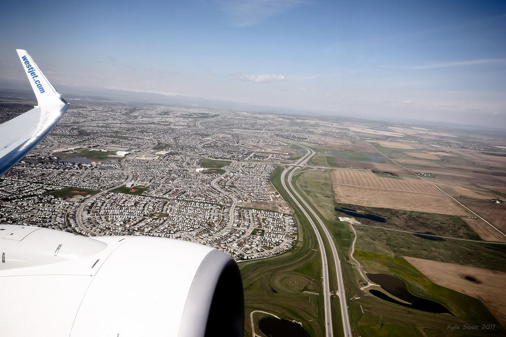
Taking off from YYC, looking down over Northern Calgary.
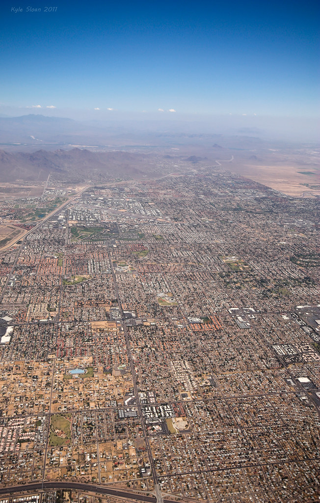
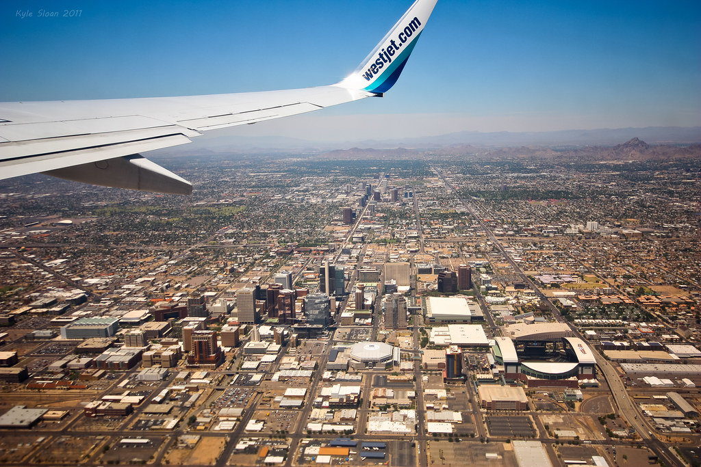
On approach to Sky Harbor. It felt like we were flying over suburbs for half an hour, and we weren't even circling.
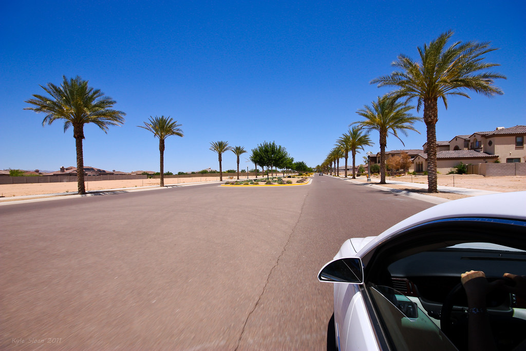
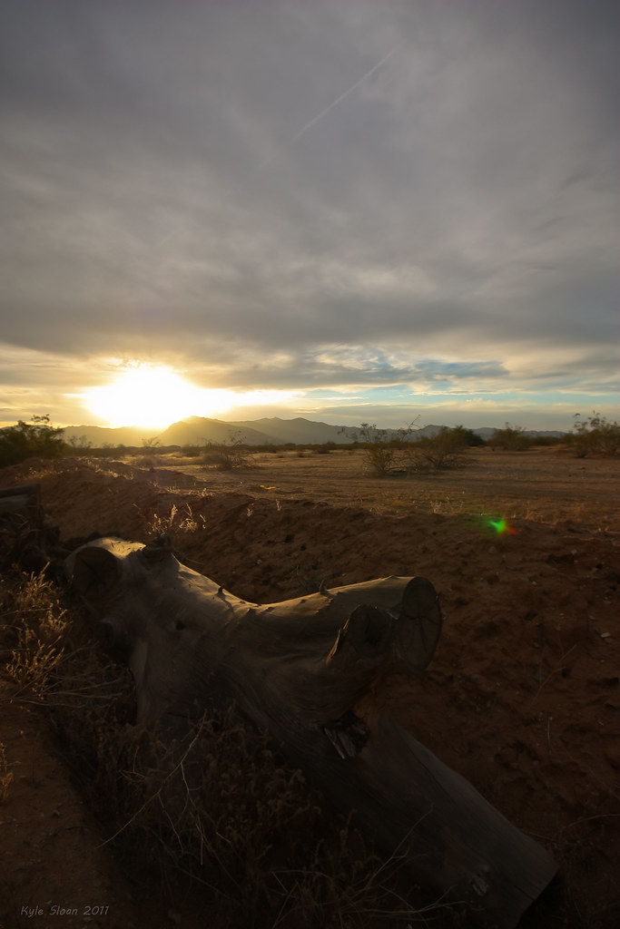
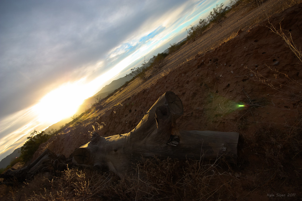
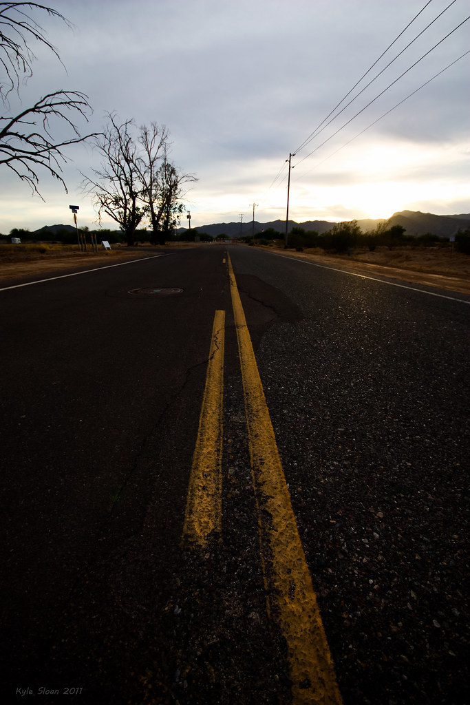
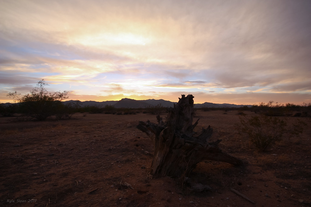
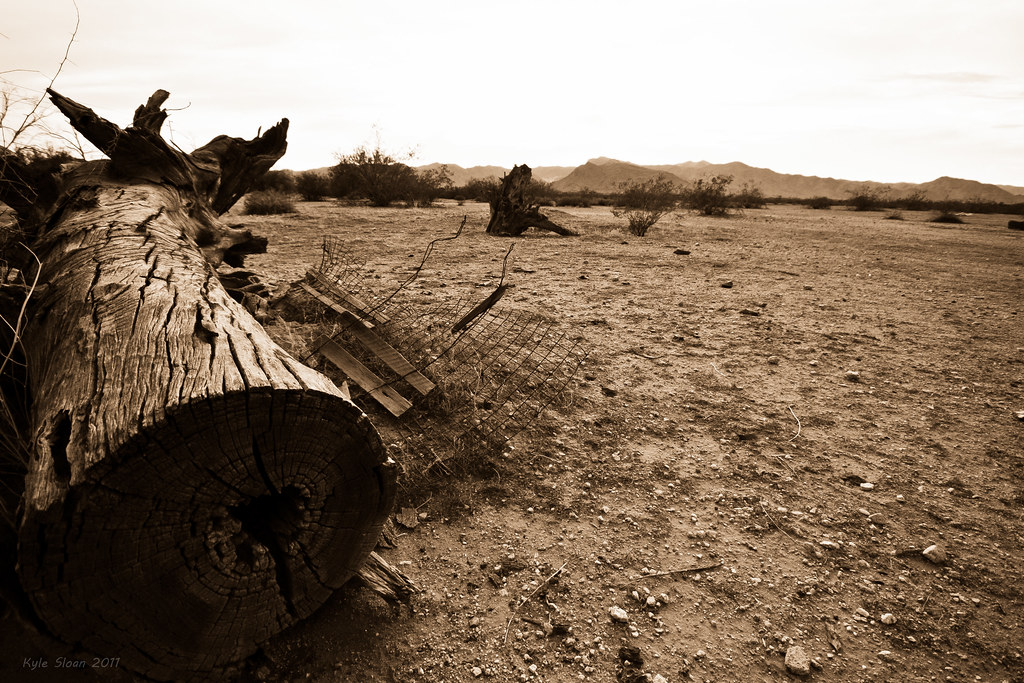
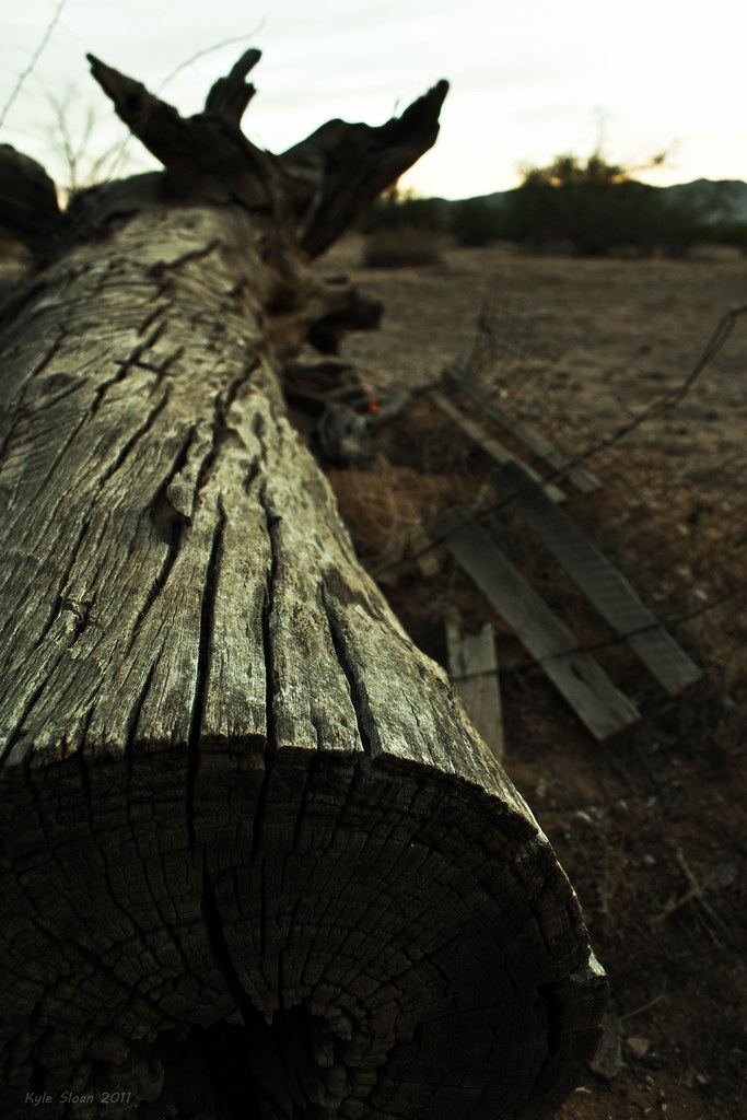
Driving around Litchfield Park. It was...bizarre, to say the least.
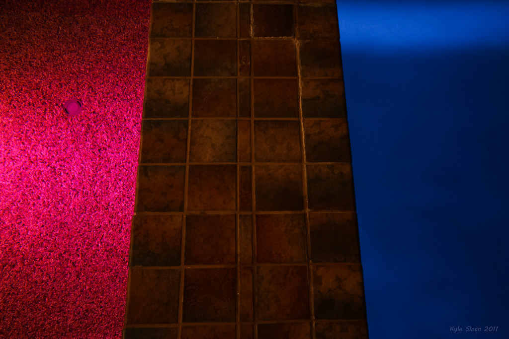
Hot and Cold
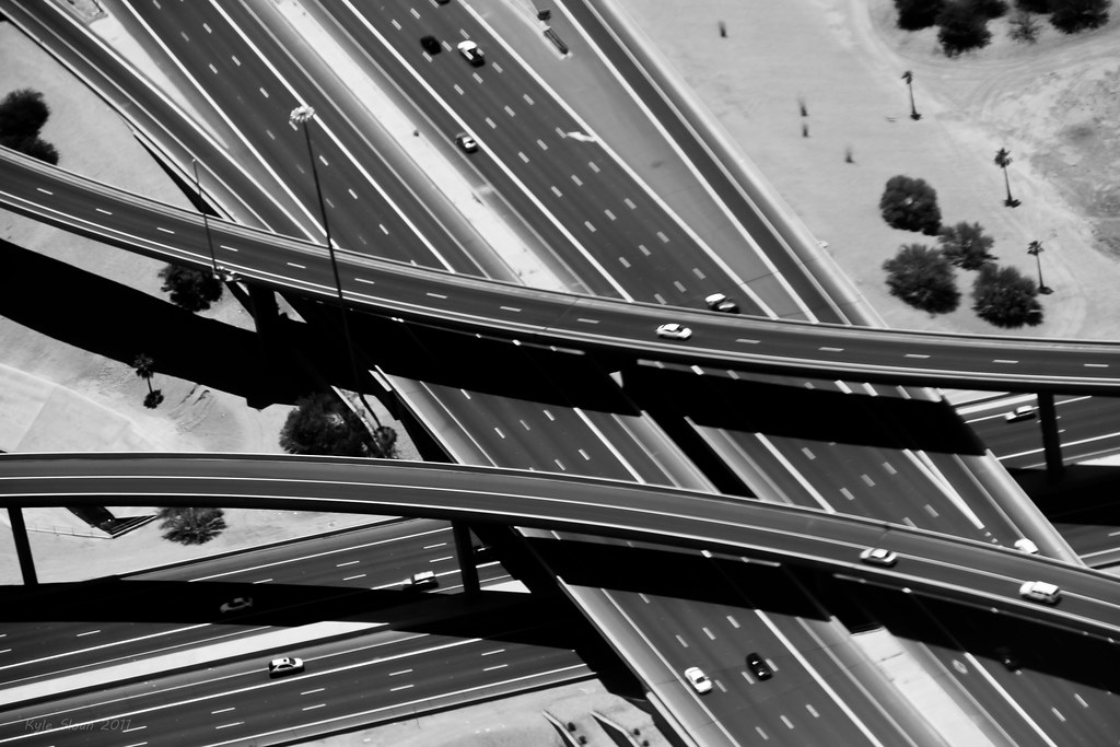
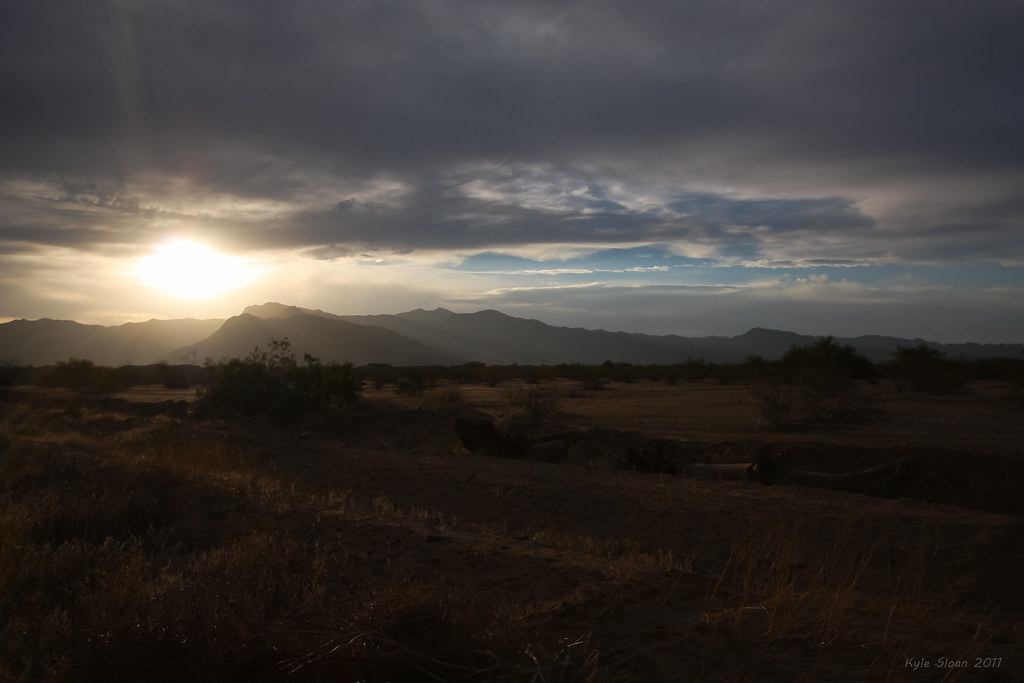
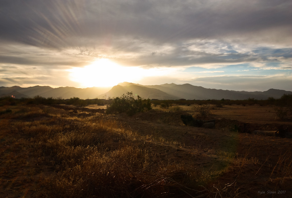
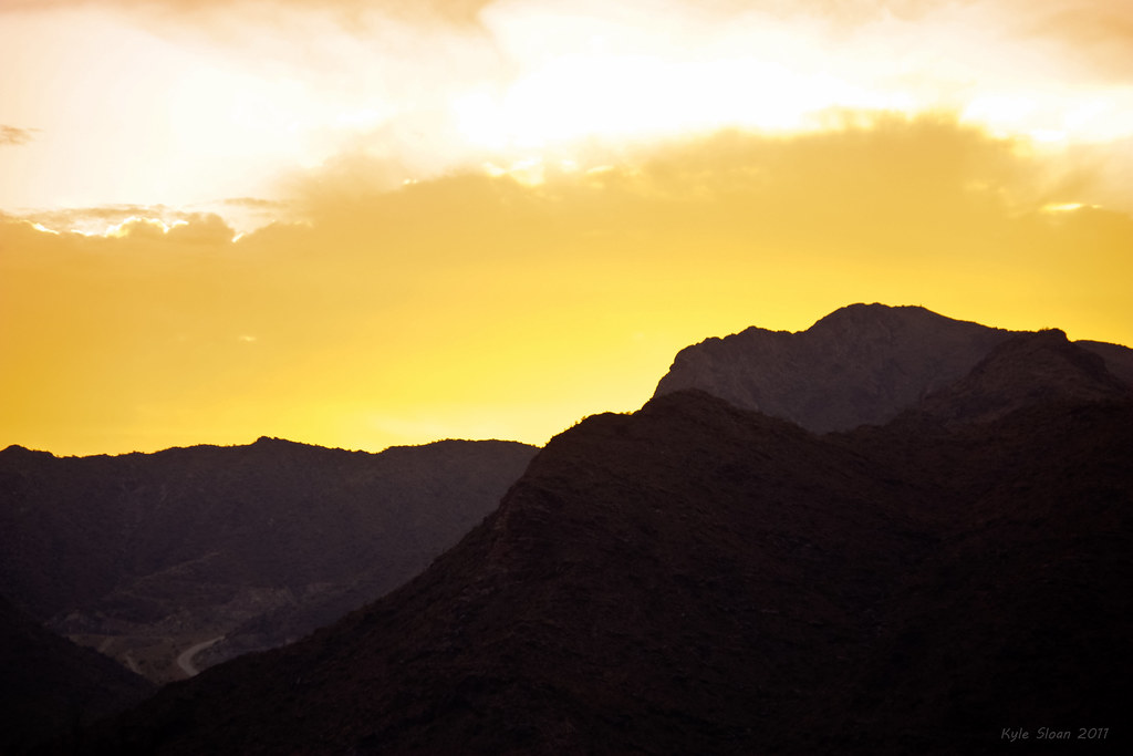
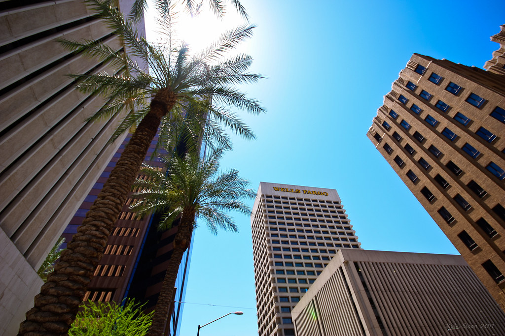
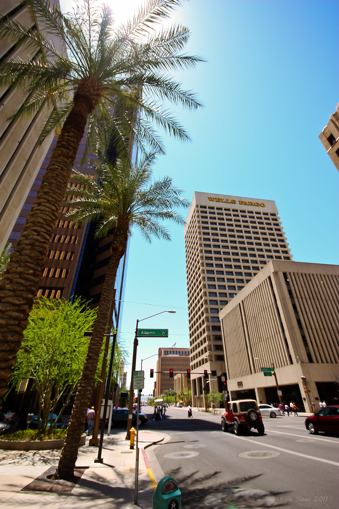
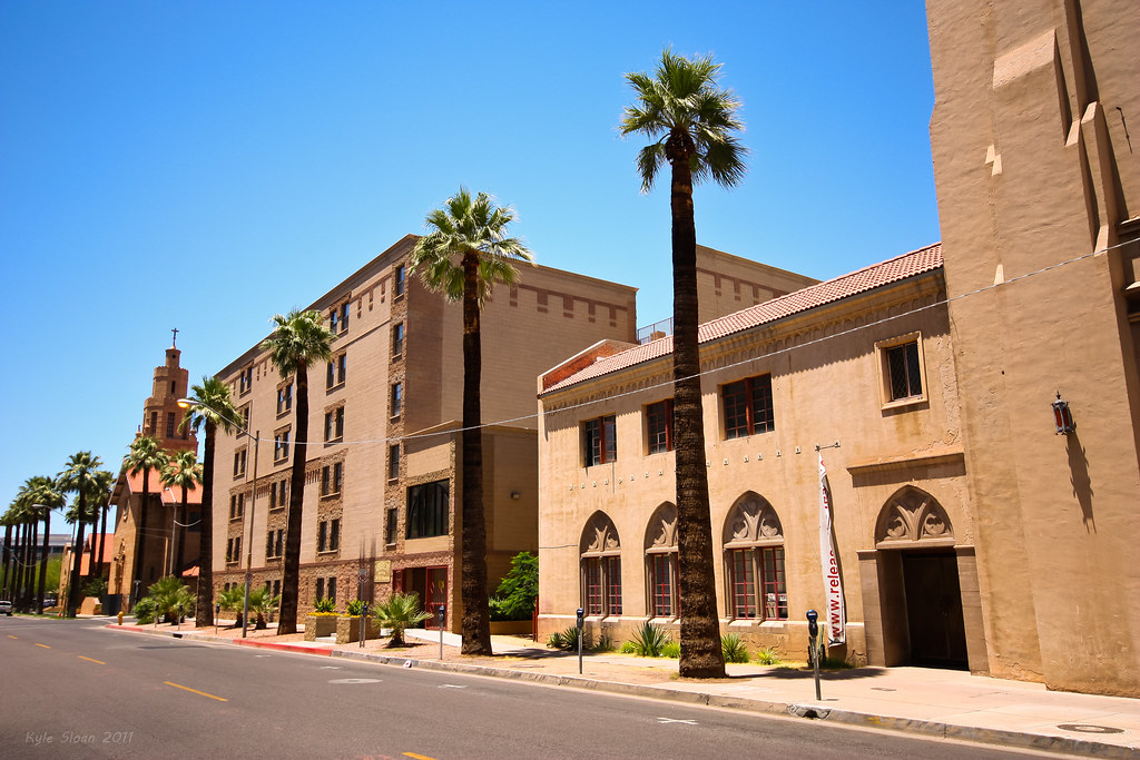
The next few are from the Western end of Camelback Rd (or at least the first part of it, before the aqueduct).
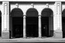
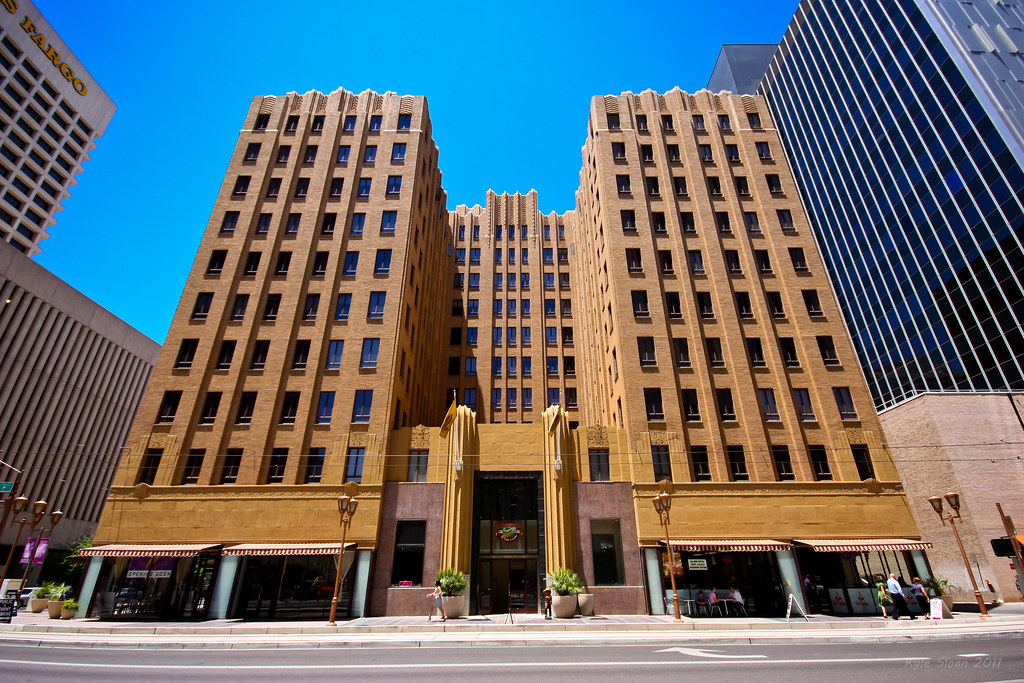
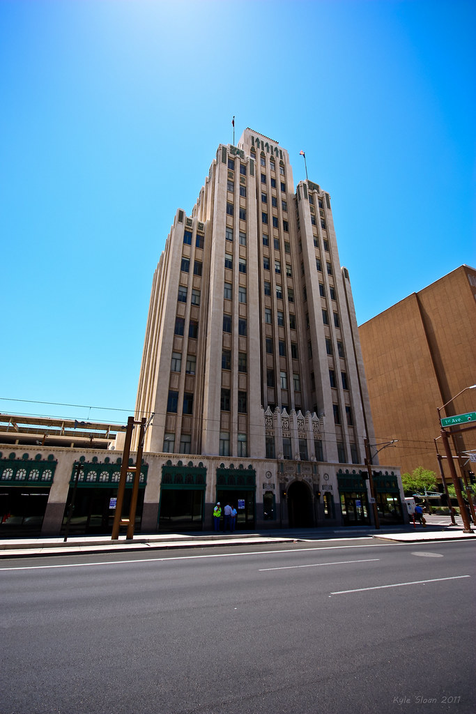
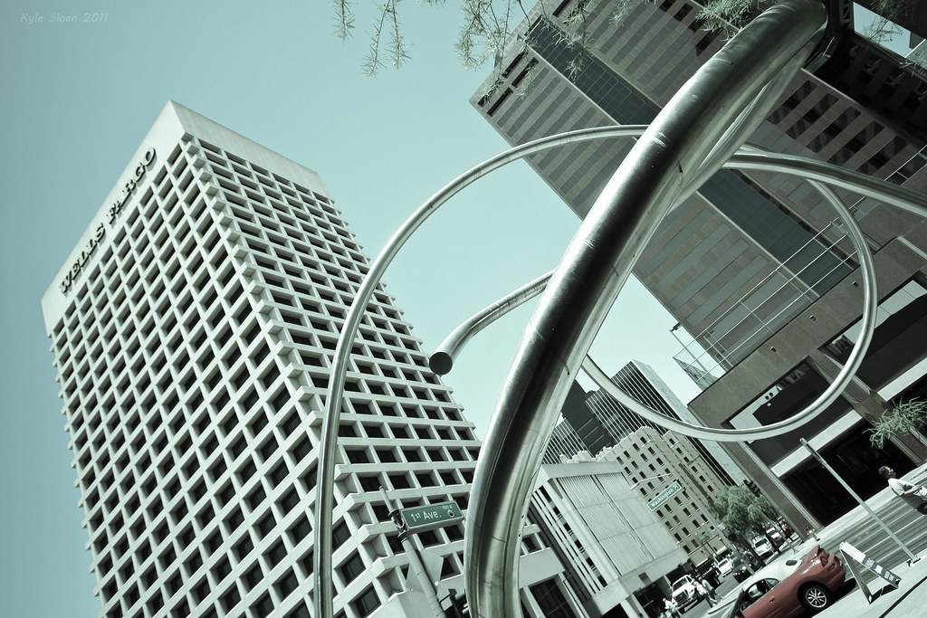
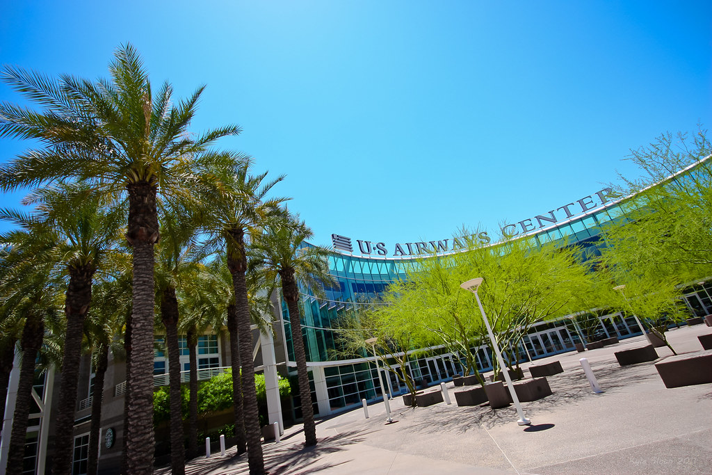
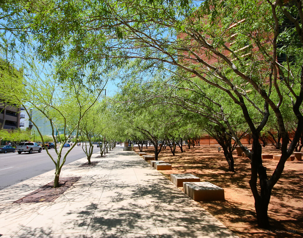
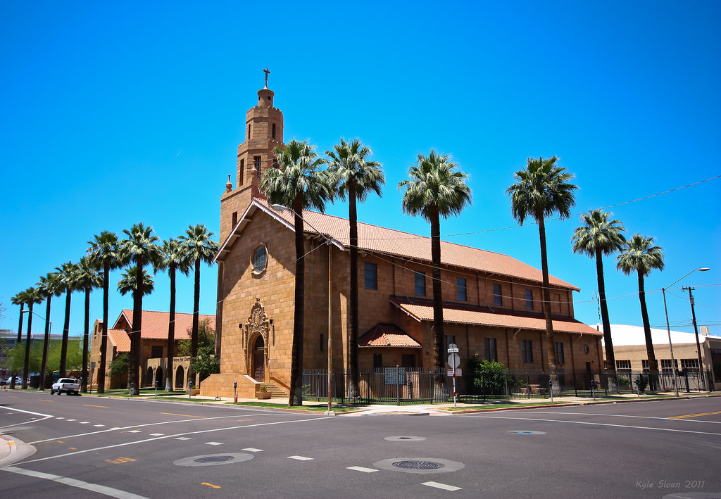
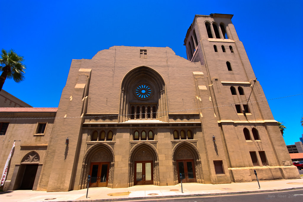
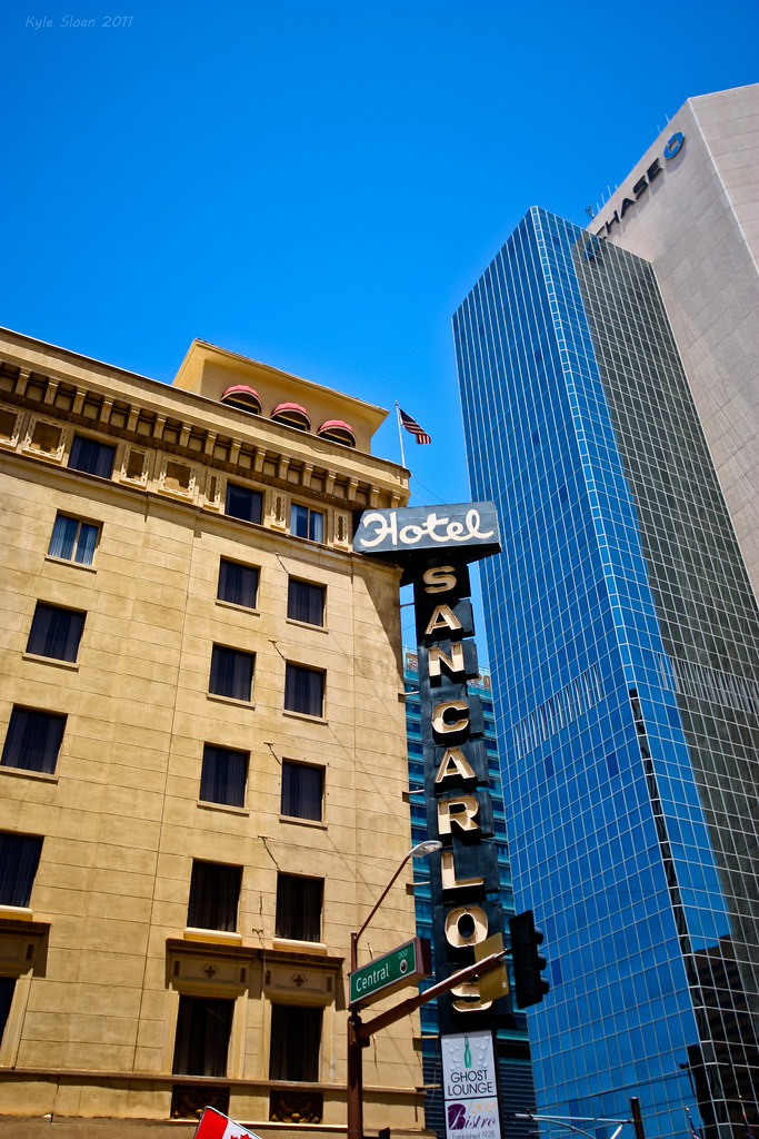
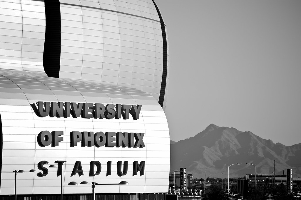
On the second to last day I finally got downtown. I still didn't get to wander around as much as I would have liked.
That was awesome. I especially loved the contrast between the suburban style of Alberta vs Arizona in the first two shots. The aerial of Downtown Phoenix and shots of Cambleback Road wwere also very very nice to look at
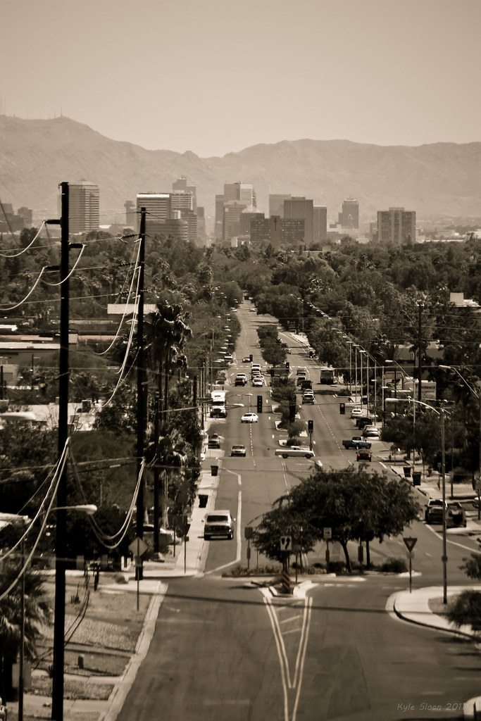
I like how the view from Sunnyslope (Central Avenue's terminus) makes the midtown and downtown skylines look like they're all part of the same general area instead of spread out along one stretch of road for miles
Also, sorry I wasn't able to make it down there that weekend. I planned to, but my parents insisted they wanted "alone time" that weekend
I don't believe 40C would be below long term seasonal averages for late May/early June.
Well, I suppose not (average for June is 39.94C though). I think I'm remembering the first day or two where it was 31-34 and people were apologizing for the cool weather. Then it warmed up every day we were there, to about 38 the day we left (still below average for the month). I had just come from Newfoundland a week or so earlier, where it was barely 10C, so I was pretty useless. At least it was dry, so I didn't sweat much (I hate humidity).
Quote:
Nice photos, by the way. The natural scenery around there is spectacular from what I've seen during visits.
Thanks. I definitely agree about the scenery, I'll be sure to get out exploring next time.
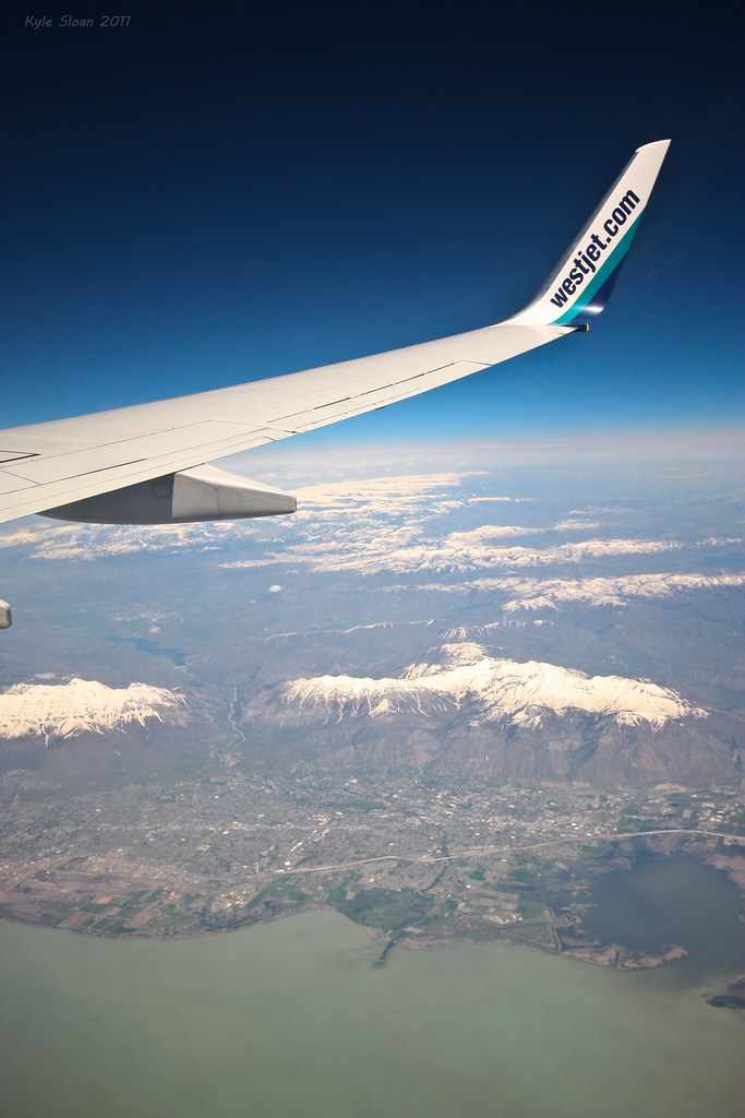
Yeah, I noticed yesterday that SLC is a little further South. So I would have seen it, but maybe Provo looked bigger to me.
Actually SLC would have been further north. You saw Utah Lake and the Provo, Utah area. You can even see the little 'Y' on the mountain if you look close enough. (BYU)
Actually SLC would have been further north. You saw Utah Lake and the Provo, Utah area. You can even see the little 'Y' on the mountain if you look close enough. (BYU)
The photography is stunning btw.
I also noticed that when I was placing it on my Flickr map (the airport is a good indicator), but didn't want to bump my own thread. I didn't realize that there was more than one large lake there.
Great pictures of Phoenix. I went to Salt Lake City before, but not the lake, and until this last picture, I never realized just how huge the lake really is!
I was thinking about this picture the other day.
Great pictures of Phoenix. I went to Salt Lake City before, but not the lake, and until this last picture, I never realized just how huge the lake really is!
I was thinking about this picture the other day.
Actually I lied, my photo is of Provo, to the south of SLC. The lake pictured (Utah Lake) is much smaller than Great Salt Lake.
But it is big, which is what I think threw me off when I took it, because I did think it was SLC.


 Prev
Prev


 Linear Mode
