Montreal CMA - town of La Prairie
I was in
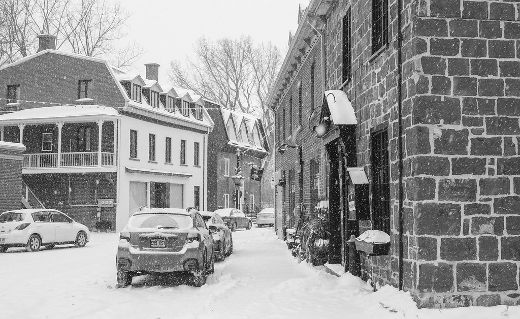
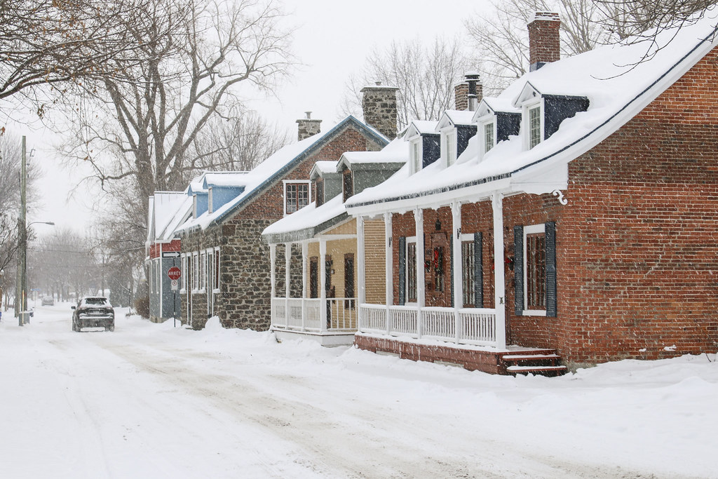
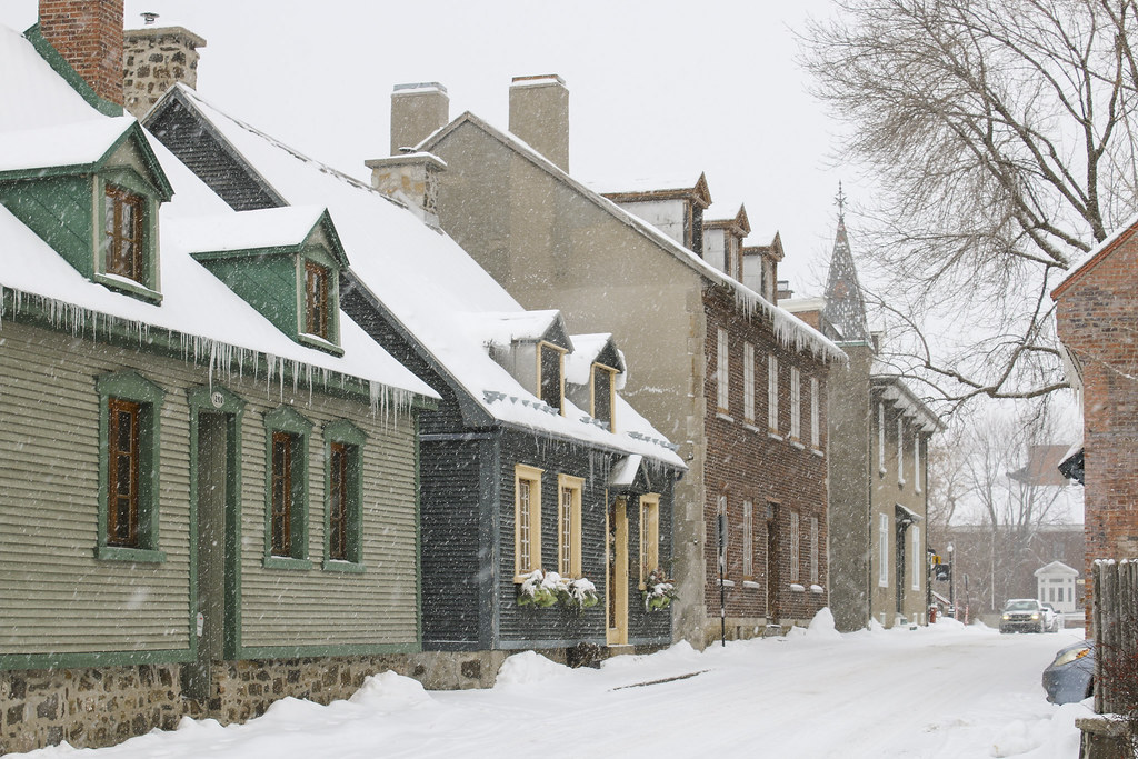
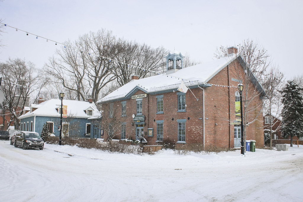
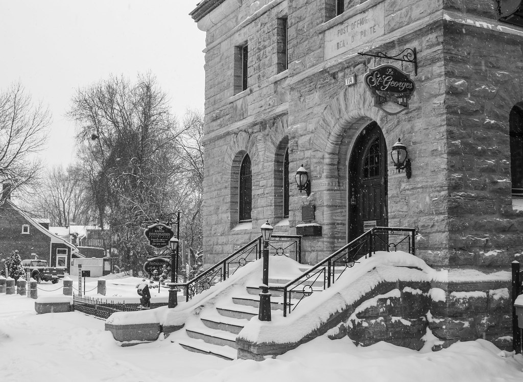
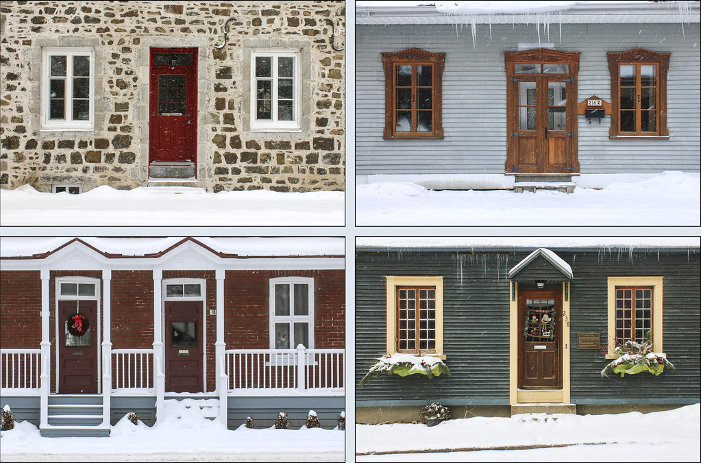
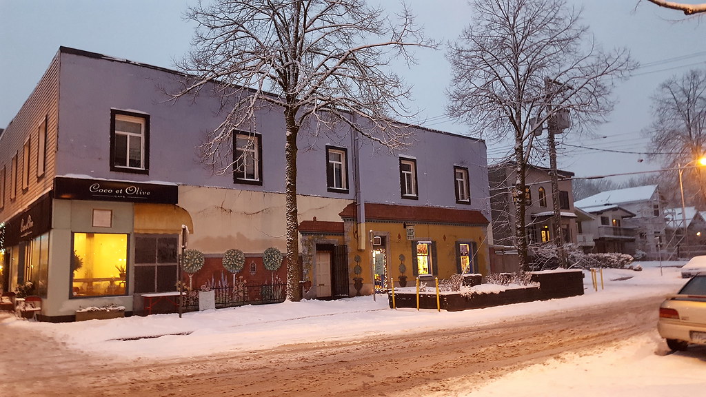
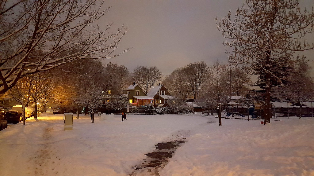
La Prairie this afternoon. J'en ai profité pour prendre quelques photos. The CMA of Montreal is filled with old village / town cores that managed to survive. La Prairie is a good example I think.
La Prairie, a 24 500 pop. town, is located on the south shore of the St. Lawrence. The town
was founded in 1647 as
Saint-François-Xavier-des-Prés, a
jésuite catholic mission. The Iroquois used to name the spot
Kentaké. In less than 20 years, because of its location on a very fertile prairie on the shores of the Saint Lawrence, just accross Ville-Marie (Montréal), it became the heart of the large
seigneurie of La Citière (later La Magdeleine) and the 3rd most populated
bourg (village) in
Nouvelle-France. The early settlers and the
Jésuites took advantage of a hill over the river to establish the village. The first independent parish was founded in 1667 ; it gave its name, La Prairie-de-la-Magdeleine, to the village. In 1687,
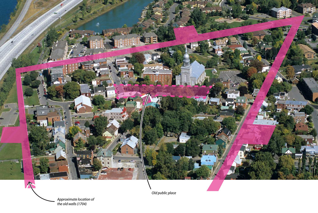
walls were erected around the
bourg - it was fortified until the village was (almost)
destroyed by the English troops in 1759-1760. The fortified village had a population of
419 in 1706 and
1650 inhabitants as of 1752.
In 1691, militias composed of New England settlers and Iroquois conducted a series of raids and killed the villagers living outside the walls (including one of my ancestors). Thus, the fortifications were consolidated.
During the English regime, the village was rebuilt and expanded quickly - maritime transportation on the St. Lawrence was increasing. The village reached a population of 3000 in 1830. In 1836, the first canadian railroad was built between La Prairie and Saint-Jean-sur-Richelieu to link the St. Lawrence to the
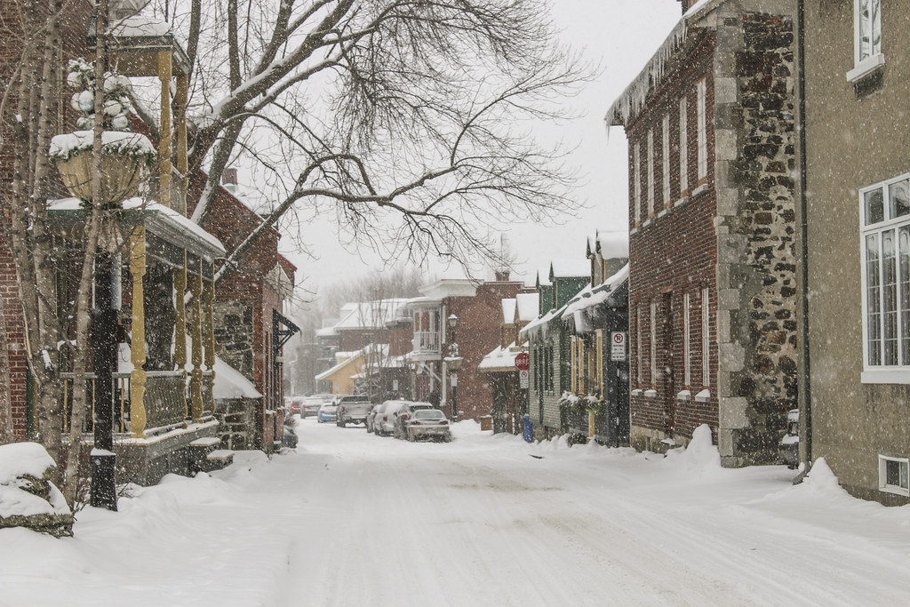
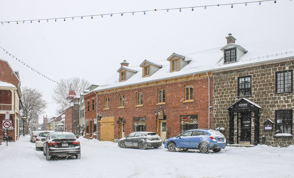
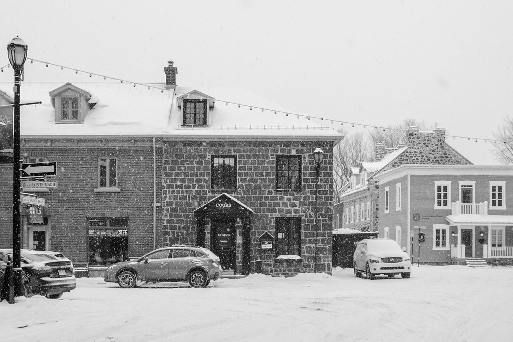
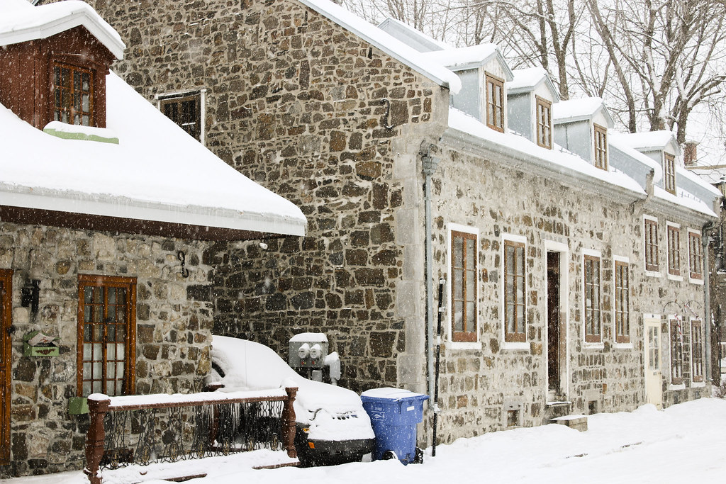
Richelieu river - Lake Champlain - Hudson river corridor. Most of the british North American commerce with New York used that corridor. Many brick factories made the village's wealth. In 1846, a great fire destroyed most of the town, except the stone houses that are still standing today.
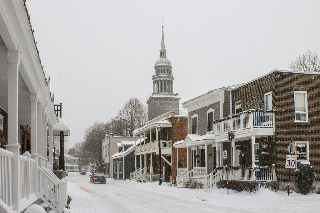
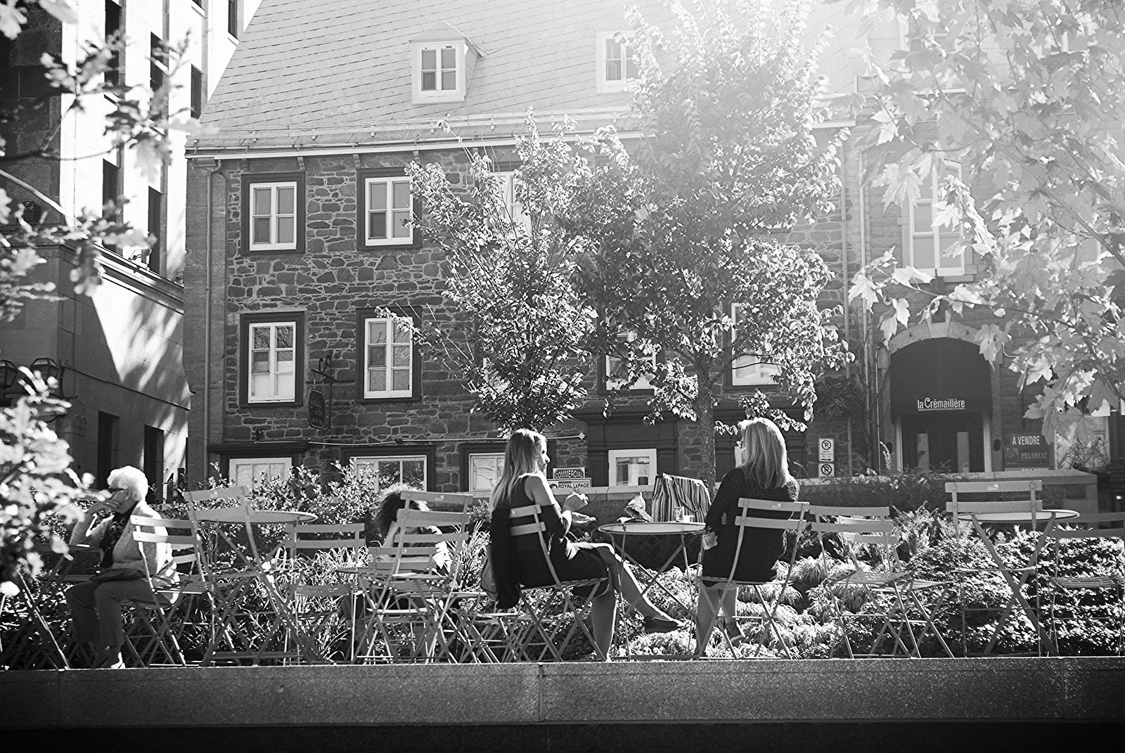
I find it amazing that we can still walk this old street grid that was traced in the second part of the 17th century. The old fortified town is still visible, though the walls disappeared. The old part still revolves around a central public place that used to be the commercial / institutional heart.
La Prairie today, and the location of the walls
Plan of 1704, levé by Gédéon de Catalogne :
 Southisack.com


 Prev
Prev


 Linear Mode
