HomeDiagramsDatabaseMapsForum About
     

Go Back   SkyscraperPage Forum > Discussion Forums > Transportation


Reply

 
Thread Tools Display Modes
     
     
  #41  
Old Posted Apr 2, 2009, 1:09 PM
hammersklavier's Avatar
hammersklavier hammersklavier is offline
Philly -> Osaka -> Tokyo
 
Join Date: Apr 2008
Location: The biggest city on earth. Literally
Posts: 5,863
As far as theWatusi's fantasy map is concerned:
1. The R3 extension from Elwyn to Wawa will be built. This is a SEPTA project.
2. Lansdale-Quakertown (Shelly) rail restoration has been deemed feasible and the locally preferred alternative. and there is an ongoing business study on it. This is primarily a Bucks County TMA project.
3. Rail restoration from Norristown to Reading has been deemed feasible and an alternatives analysis is being performed. This is being performed at the behest of Montgomery County and the Reading transit agency (BARTA?)
4. The PATCO expansion has completed its feasibility and (I believe) alternatives analysis stages. It is moving forward as planned. This project also includes a Delaware Avenue light rail system.
5. Feasibility studies for the Boulevard and Navy Yard subways have been completed but the City is sitting on them.
__________________
Urban Rambles | Hidden City

Who knows but that, on the lower levels, I speak for you?’ (Ralph Ellison, Invisible Man)
Reply With Quote
     
     
  #42  
Old Posted Apr 2, 2009, 3:22 PM
arkhitektor arkhitektor is offline
Registered User
 
Join Date: Feb 2005
Location: Clearfield, UT
Posts: 1,768
*** Not my city, but an excellent system nonetheless.
Moscow:

Reply With Quote
     
     
  #43  
Old Posted Apr 2, 2009, 5:18 PM
muppet's Avatar
muppet muppet is offline
if I sang out of tune
 
Join Date: Sep 2004
Location: London
Posts: 6,185
Moscow's map is thing of beauty. London Transport finds it the only comparable or better one than their own for ease of use, in part thanks to that big central (magnifying) circle. So seemingly simple for a vast system that sees in 9 million users a day, and trains that arrive every 90 seconds.
Reply With Quote
     
     
  #44  
Old Posted Apr 2, 2009, 6:30 PM
nito nito is offline
Registered User
 
Join Date: Mar 2004
Posts: 2,856
London - City


London - Metro


Satellite Overview of London's Heavy Rail Network (created by moi!)


U/C: East London Line Extensions


U/C: Crossrail Line 1
__________________
London Transport Thread updated: 2023_07_12 | London Stadium & Arena Thread updated: 2022_03_09
London General Update Thread updated: 2019_04_03 | High Speed 2 updated: 2021_09_24
Reply With Quote
     
     
  #45  
Old Posted Apr 2, 2009, 7:52 PM
Beltliner's Avatar
Beltliner Beltliner is offline
Unsafe at Any Speed
 
Join Date: Mar 2006
Posts: 949
You're not the only bloke who can dig up Russian metro maps, Arkhitektor tovarishcha:

__________________
Now waste even more time! @Beltliner403 on Twitter!

Always pleased to serve my growing clientele.
Reply With Quote
     
     
  #46  
Old Posted Apr 2, 2009, 8:08 PM
arkhitektor arkhitektor is offline
Registered User
 
Join Date: Feb 2005
Location: Clearfield, UT
Posts: 1,768
Quote:
Originally Posted by Beltliner View Post
You're not the only bloke who can dig up Russian metro maps, Arkhitektor tovarishcha:
While I'm at it, here is Seoul's, which I don't believe has been posted yet:


It looks like a mess on paper, but I found it to be one of the cleanest and most user-friendly metros I've used.
Reply With Quote
     
     
  #47  
Old Posted Apr 2, 2009, 8:14 PM
Beltliner's Avatar
Beltliner Beltliner is offline
Unsafe at Any Speed
 
Join Date: Mar 2006
Posts: 949
I see your Seoul and raise you a Volgograd:

__________________
Now waste even more time! @Beltliner403 on Twitter!

Always pleased to serve my growing clientele.
Reply With Quote
     
     
  #48  
Old Posted Apr 2, 2009, 8:39 PM
Cirrus's Avatar
Cirrus Cirrus is offline
cities|transit|croissants
 
Join Date: Jul 2001
Location: Washington, DC
Posts: 18,380
^
That looks more like a technical track map than a system map for public consumption. Still cool, though.

Here is Norfolk:


Baltimore, unbelievably, does not have a system map incorporating both its subway and light rail. The best map available for Baltimore that doesn't also show buses is this one which focuses on MARC commuter rail, but also shows the local rail networks in DC and Baltimore:
__________________
writing | twitter | flickr | instagram | ssp photo threads
Reply With Quote
     
     
  #49  
Old Posted Apr 2, 2009, 9:12 PM
arkhitektor arkhitektor is offline
Registered User
 
Join Date: Feb 2005
Location: Clearfield, UT
Posts: 1,768
Is Norfolk's line operating yet?
Reply With Quote
     
     
  #50  
Old Posted Apr 2, 2009, 9:23 PM
wrendog's Avatar
wrendog wrendog is online now
Registered User
 
Join Date: May 2003
Location: San Antonio TX
Posts: 4,094
A city I lived in for a bit:

Reply With Quote
     
     
  #51  
Old Posted Apr 2, 2009, 9:52 PM
MayDay's Avatar
MayDay MayDay is offline
Member of SSP since 1997
 
Join Date: Jul 2001
Location: Cleveland, Ohio
Posts: 7,115
"MayDay: The Silver line has *59* stations? What makes it "rapid" again?"

It's the Healthline, but considering your history of snarky comments about BRT, I guess it's pointless to respond.
Reply With Quote
     
     
  #52  
Old Posted Apr 2, 2009, 10:11 PM
arkhitektor arkhitektor is offline
Registered User
 
Join Date: Feb 2005
Location: Clearfield, UT
Posts: 1,768
Is there a reason that St. Petersburg's transfer stations seem to have a different name for each of the lines they serve???

Reply With Quote
     
     
  #53  
Old Posted Apr 3, 2009, 1:28 AM
spark317's Avatar
spark317 spark317 is offline
Registered User
 
Join Date: Jun 2003
Posts: 902
Quote:
Originally Posted by arkhitektor View Post
Is Norfolk's line operating yet?
Recent update from http://www.wvec.com/news/norfolk/sto....8cdca49e.html:

Norfolk light rail nearly 1/3 finished, under budget

02:51 PM EDT on Tuesday, March 31, 2009

NORFOLK – Light rail is about 30 percent complete and running $800,000 under budget, according to Hampton Roads Transit.
HRT officials briefed Norfolk City Council Tuesday on the progress of the $288-million starter line.

The first stop is moving slightly east on Brambleton Avenue and that shift of the EVMS stop is expected to save $800,000.

Light rail is still on track to begin service in 2010, HRT stated.

The 7.4 mile route will have 11 stops on the run from EVMS to Newtown Road.


Norfolk light rail website:
http://www.ridethetide.com/
__________________
"There is no end of opinions ready to be expressed. Studying them can go on forever and become very exhausting!" Ecc. 12:12 (NLT)
Reply With Quote
     
     
  #54  
Old Posted Apr 3, 2009, 2:41 AM
bvpcvm bvpcvm is offline
Registered User
 
Join Date: Apr 2004
Location: Portland
Posts: 2,788
Quote:
Originally Posted by arkhitektor View Post
Is there a reason that St. Petersburg's transfer stations seem to have a different name for each of the lines they serve???

Moscow and Kiev do this too. I've never seen an explanation that makes any sense.
Reply With Quote
     
     
  #55  
Old Posted Apr 3, 2009, 2:48 AM
breathesgelatin breathesgelatin is offline
Registered User
 
Join Date: Sep 2008
Posts: 193
Nevermind. Can't get the image to work.

Last edited by breathesgelatin; Apr 3, 2009 at 2:59 AM.
Reply With Quote
     
     
  #56  
Old Posted Apr 3, 2009, 3:25 AM
the urban politician the urban politician is online now
The City
 
Join Date: Jul 2004
Location: Chicago region
Posts: 21,375
The NYC, London, Moscow, and Seoul systems are sick.

Of all the systems I've seen so far, Chicago's is by far the most downtown-centric.
__________________
Supercar Adventures is my YouTube channel:

https://www.youtube.com/channel/UC4W...lUKB1w8ED5bV2Q
Reply With Quote
     
     
  #57  
Old Posted Apr 3, 2009, 4:04 AM
urbanfan89's Avatar
urbanfan89 urbanfan89 is offline
Registered User
 
Join Date: Feb 2008
Posts: 501
Quote:
Originally Posted by muppet View Post
Moscow's map is thing of beauty. London Transport finds it the only comparable or better one than their own for ease of use, in part thanks to that big central (magnifying) circle. So seemingly simple for a vast system that sees in 9 million users a day, and trains that arrive every 90 seconds.
It's said that the planners decided to build the ring line and colour it brown because Stalin put a cup of coffee on the map, and the coffee stains from the rim gave them their idea.
Reply With Quote
     
     
  #58  
Old Posted Apr 3, 2009, 4:53 AM
Swede's Avatar
Swede Swede is offline
YIMBY co-founder
 
Join Date: Jul 2001
Location: sol.III.eu.se.08
Posts: 6,758
Quote:
Originally Posted by wrendog View Post
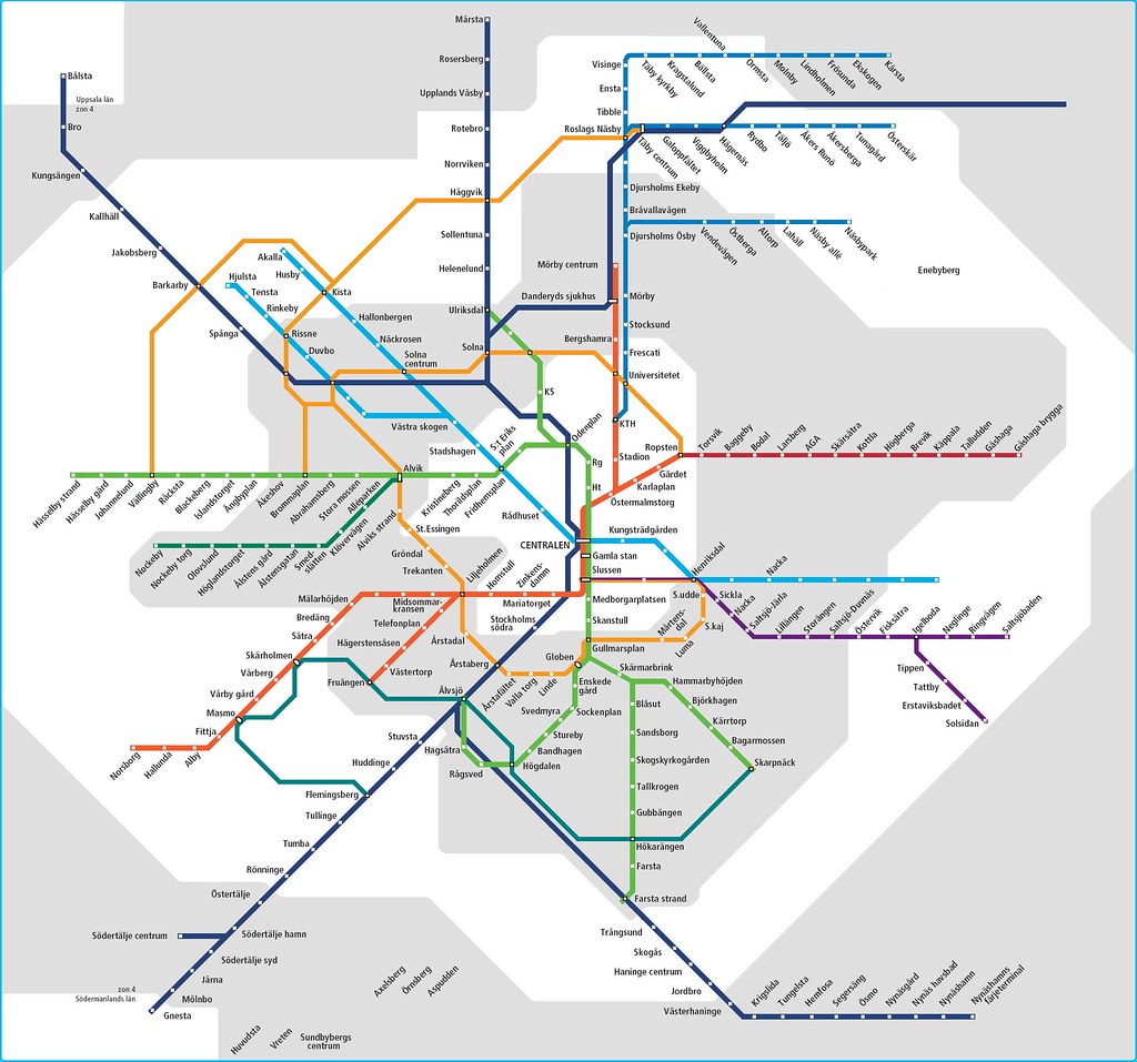
Hey! that's my edit of the old Stockholm rail transit map to show a possible
Sadly, they've changed the map layout now so it's pretty useless as a base for showing a future situation.

Here's a map showing the current situation in the Inner City:
Red = Subway, Black = commuter/intercity rail, blue&purple = trams&LRT


The decided/near decided future:


And with the addition of things I find logical:
__________________
Forumers met so far:
Huopa, Nightsky, Jo, wolkenkrabber, ThisSideofSteinway, jacksom, New Jack City, LeCom, Ellatur, Jan, Dennis, Ace, Bardamu, AtlanticaC5, Ringil, Dysfunctional, stacey, karakhal, ch1le, Hviid, staff, kjetilab, Þróndeimr, queetz, FREKI, sander, Blue Viking, nomels, Mantas, ristov, Rafal_T, khaan, Chilenofuturista, Jonte Myra, safta20, AW, Pas, Jarmo K, IceCheese, Sideshow_Bob, sk, Ingenioren, Ayreonaut, Silver Creations, Hasse78, Svartmetall

Last edited by Swede; Apr 3, 2009 at 5:03 AM.
Reply With Quote
     
     
  #59  
Old Posted Apr 3, 2009, 8:16 PM
Cirrus's Avatar
Cirrus Cirrus is offline
cities|transit|croissants
 
Join Date: Jul 2001
Location: Washington, DC
Posts: 18,380
Quote:
Originally Posted by MayDay
It's the Healthline, but considering your history of snarky comments about BRT, I guess it's pointless to respond.
OK, sorry. The Healthline. My bad.

But seriously. 59 stations! That's 7 more than all three of Cleveland's rail lines put together. 16 more than the entire BART system! If the goal was a comparable level of service to light rail, the mark has been missed by a wide margin.

I'm not trying to be snarky. I am wondering how effective your service is. It looks like it stops on every single block, for goodness sake. That stop frequency annoys me on local bus lines (and is something we're doing away with here), but on a supposedly regional rapid line? I'm not suggesting it isn't better than a normal bus, but if it's like that for a large portion of its route then it is most certainly not "rapid".
__________________
writing | twitter | flickr | instagram | ssp photo threads
Reply With Quote
     
     
  #60  
Old Posted Apr 4, 2009, 6:41 PM
SecretAgentMan's Avatar
SecretAgentMan SecretAgentMan is offline
CIA since 2003
 
Join Date: Apr 2006
Posts: 346
Austin, Texas - Single commuter rail line, opening delayed due to contractor safety violations

http://img151.imageshack.us/img151/2273/commutermap.png

Two light rail / streetcar lines in planning


http://img151.imageshack.us/img151/6...reetcarmap.jpg

Just bought a great book on this subject:

Transit Maps of the World by Mark Ovenden
Reply With Quote
     
     
This discussion thread continues

Use the page links to the lower-right to go to the next page for additional posts
 
 
Reply

Go Back   SkyscraperPage Forum > Discussion Forums > Transportation
Forum Jump


Forum Jump


All times are GMT. The time now is 2:24 AM.

     
SkyscraperPage.com - Archive - Privacy Statement - Top

Powered by vBulletin® Version 3.8.7
Copyright ©2000 - 2024, vBulletin Solutions, Inc.