As many of you probably know, Bing has oblique aerial imagery for many Canadian cities:
http://www.bing.com/maps/
Here's an example. Oblique aerials are shot from an angle so that you can see buildings. In a satellite photo the view is top-down so you don't get much detail:

(source: Bing)
A few cities now have oblique imagery available at a larger scale (zoomed out). Some only have zoomed in imagery (Victoria, for example), and Winnipeg sadly doesn't seem to have any at all. Most of the imagery seems to be from around 2008 or 2009.
Google Maps has oblique aerial imagery but right now it is only for a limited number of locations. San Diego was one of the first cities to get it. Hopefully soon they will have imagery for Canadian cities as well.
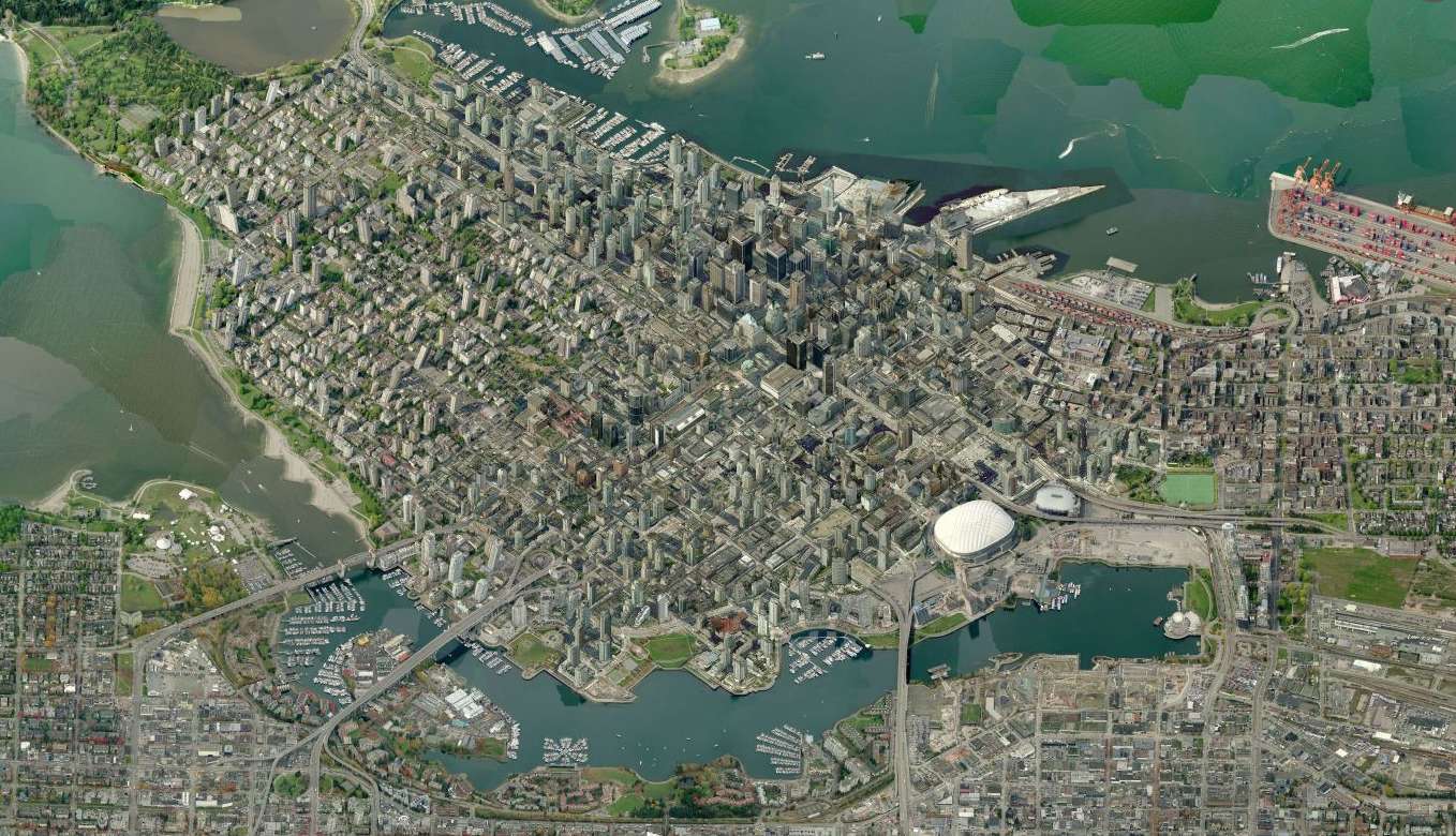
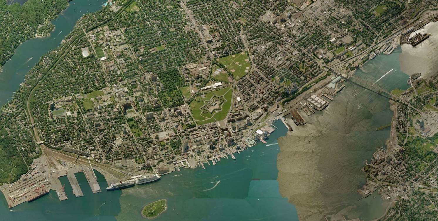
The zoomed out aerial photos are a great way to get a sense of how built up a city is:
Vancouver
Halifax
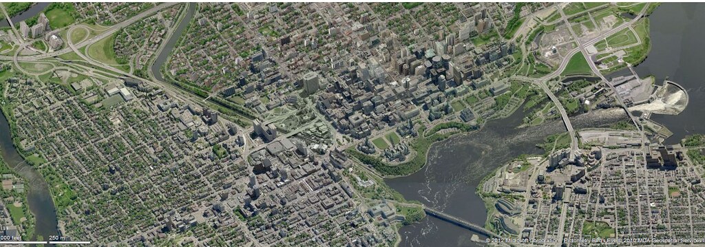
I'll leave it to others to post other cities.


 Prev
Prev


 Linear Mode
