I went to the Bahamas in late April to escape work. I needed the time off. I booked the trip in the late winter, and flew Southwest Airlines from BWI to Fort Lauderdale and then to Nassau. Southwest Airlines has started operating international flights in the last few years, with Mexico, Central American countries like Costa Rica and Belize, and the Caribbean as destinations. I took advantage of cheap fare and free cancellation and pulled the trigger.
I went to Nassau partly because of a New Year's resolution. A couple years ago, a friend of mine said that she resolved to make fun New Year's resolutions; the ones about making yourself better were too hard to keep and all. I kept my hard resolutions, but began doing some fun resolutions each year as well. For instance, in 2016 I resolved to make it back to the Grand Canyon, which I did. (I started posting pictures of my trip, but only got through 4 of the 10 mega threads.) For 2017, I resolved to go to another country, besides Canada, which I am in each summer.
This may be the first time Nassau and/or the Bahamas is shown on here, so I'm excited to share my pictures! Included in this photothread is a summary of my trip, plus some of the day-to-day things in Nassau, like flora and things the locals do. Later on, I'll do a phototour of Nassau.
My trip started with a flight to Fort Lauderdale to connect to Nassau. It was cloudy most of the way, but the clouds broke over the coast of Georgia. The first town I saw was Fernandina Beach, Florida. That waterway on the right edge of the picture is the border with Georgia.
We were flying down Florida's Atlantic coast. Next up was Jacksonville.

I zoomed in 120x, but it was blurry because it was digital zoom at that point.
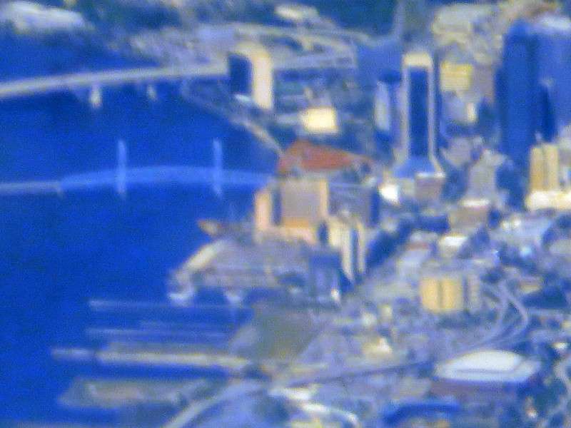
The 30x optical zoom was still very good.
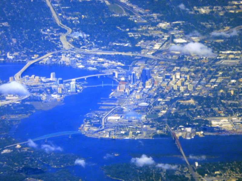
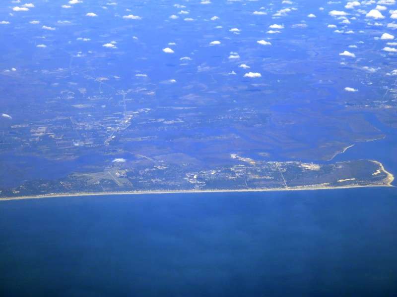
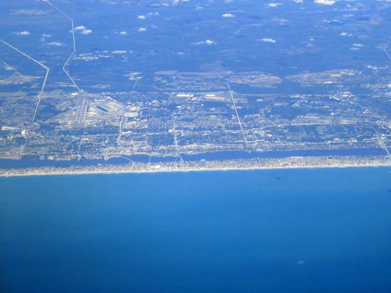
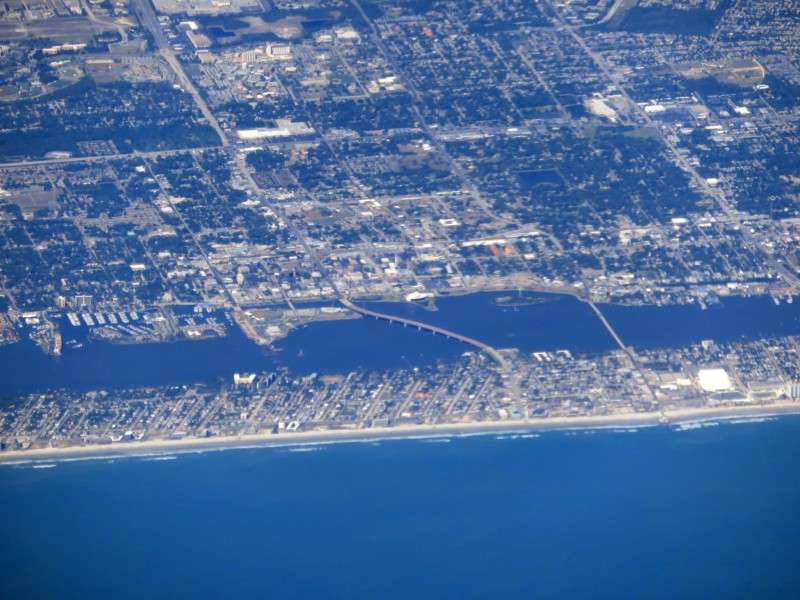
After Jacksonville was Daytona Beach.
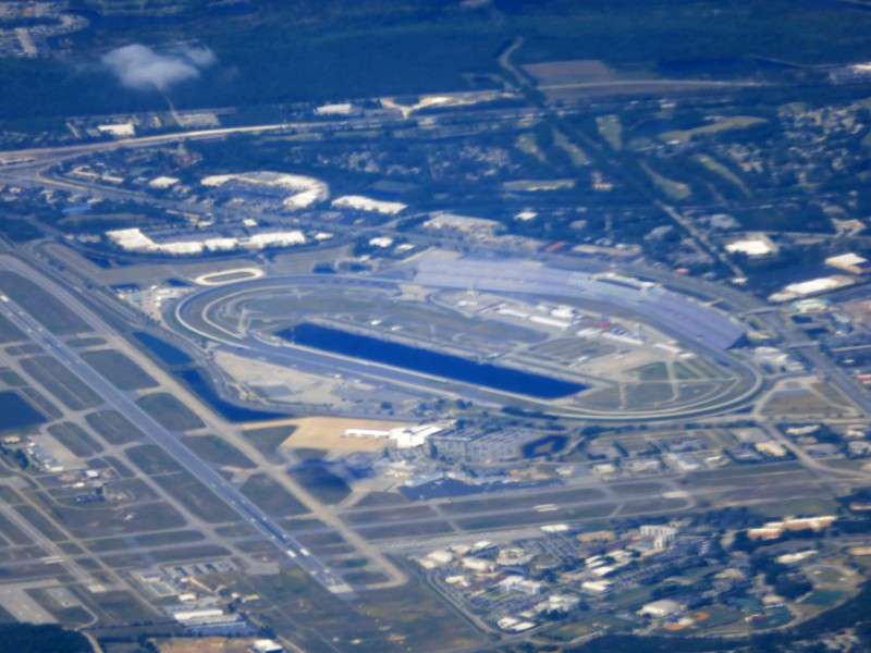
Daytona International Speedway was easy to spot.
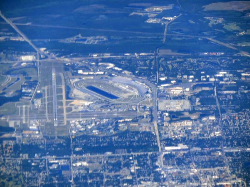
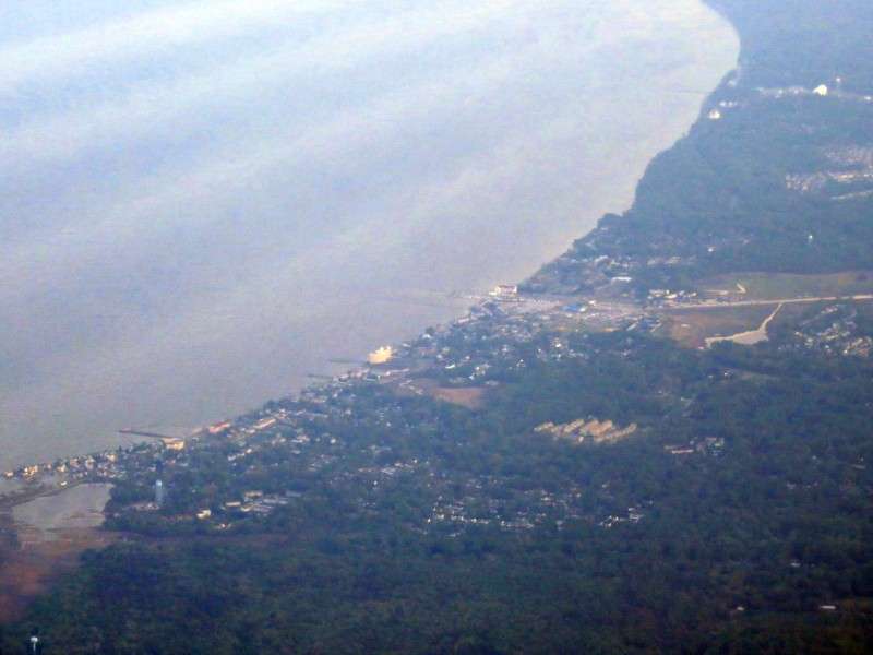
Jackie Robinson Ballpark, home of the minor league Daytona Tortugas, is on that little island in the middle there. The stadium was named for Robinson because Daytona Beach was the first Florida city to allow Robinson to play with Whites during Spring Training of 1946.
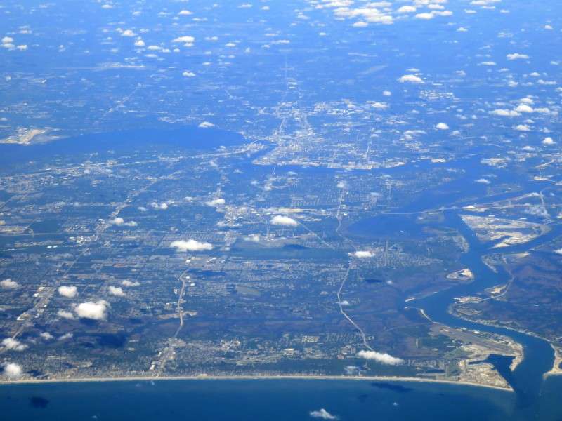
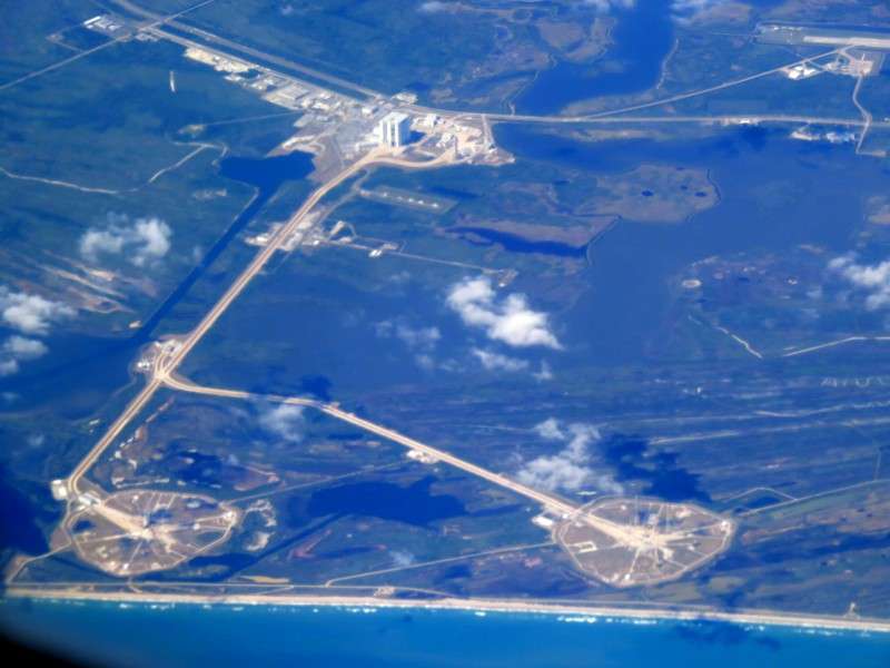
After Daytona Beach was Cape Canaveral.
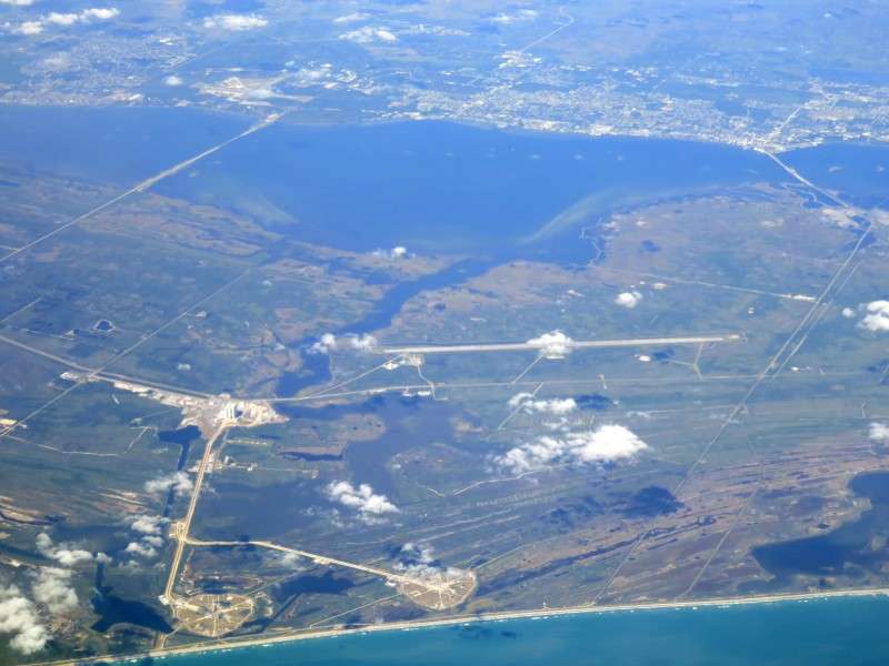
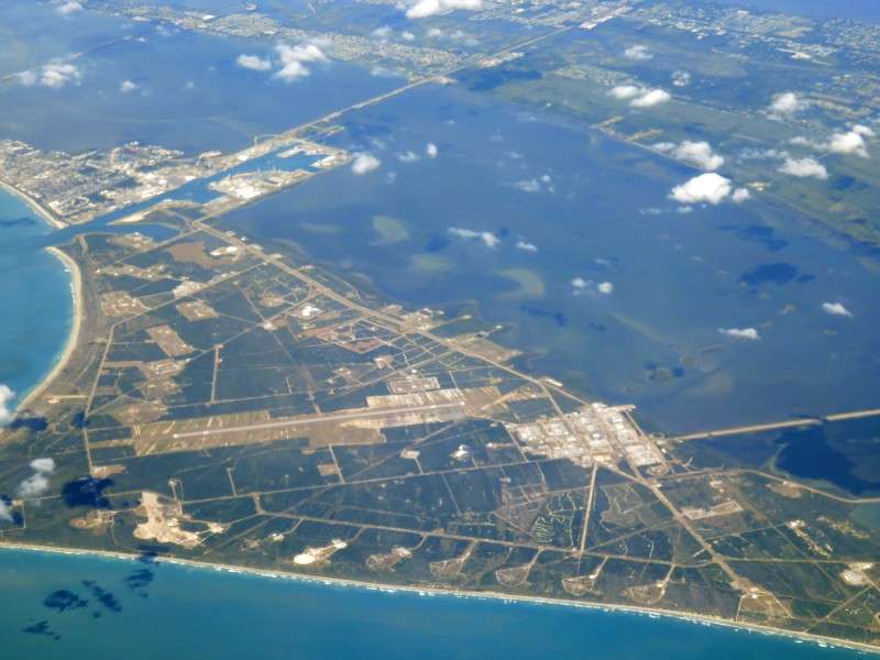
We then flew past Fort Pierce.
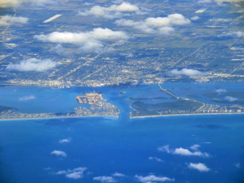
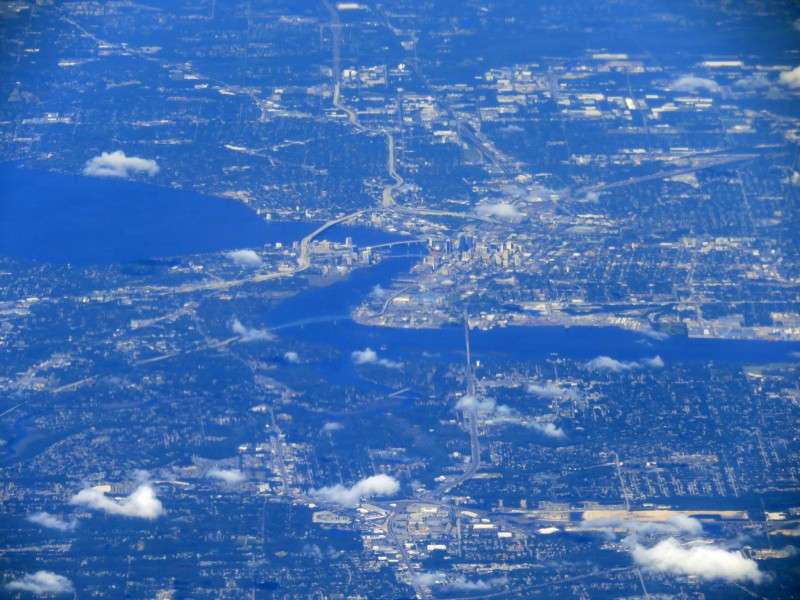
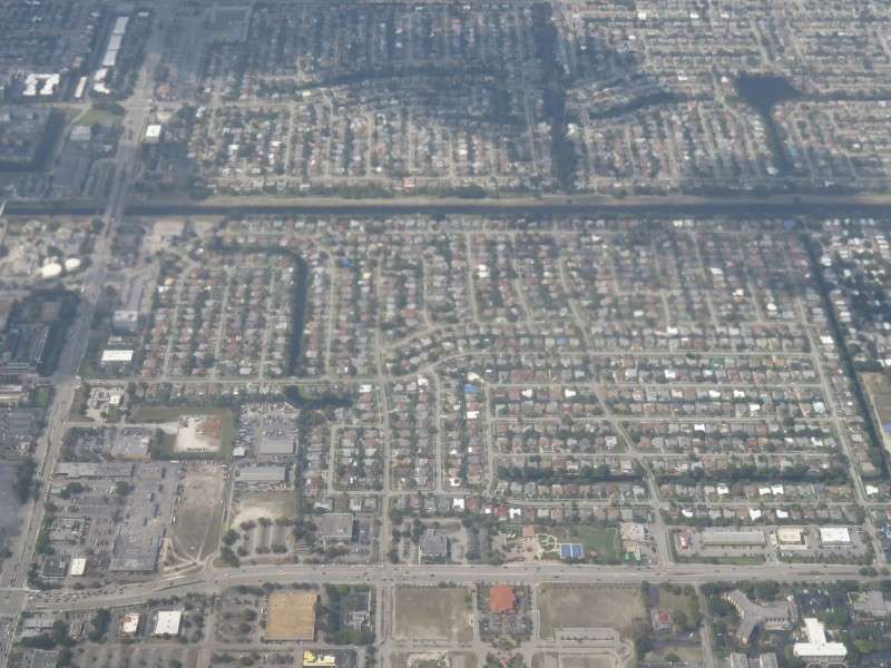
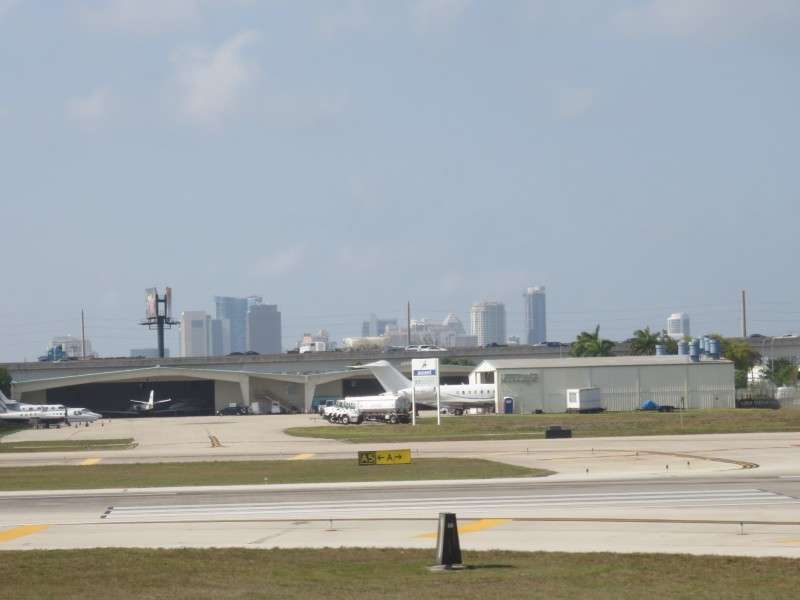
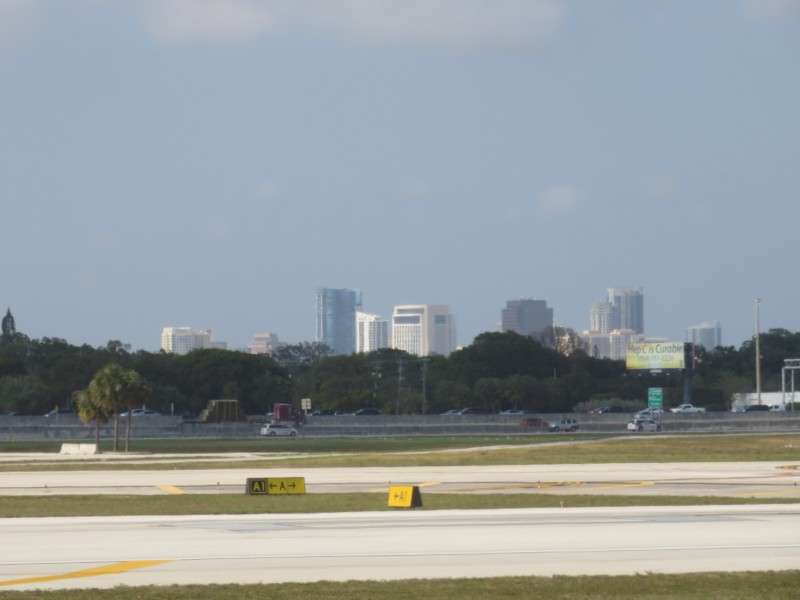
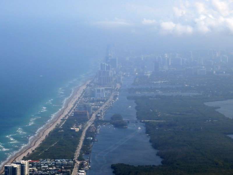
Soon, we were close to Fort Lauderdale.
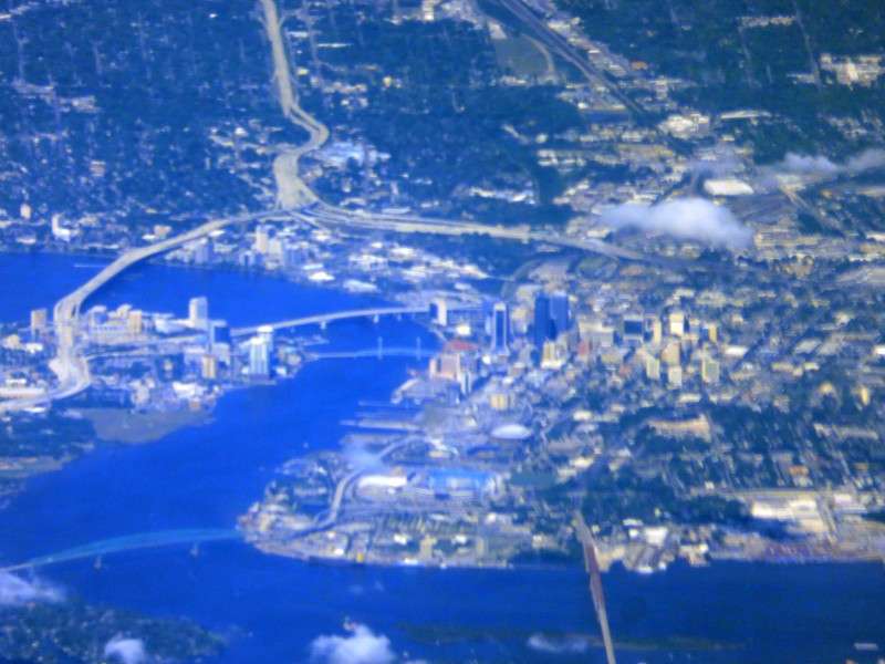
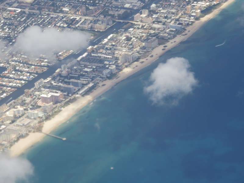
I was on the side of the plane to get good views of Downtown Fort Lauderdale.
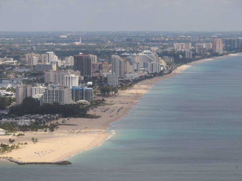
But I saw more of Fort Lauderdale's beach neighborhoods.


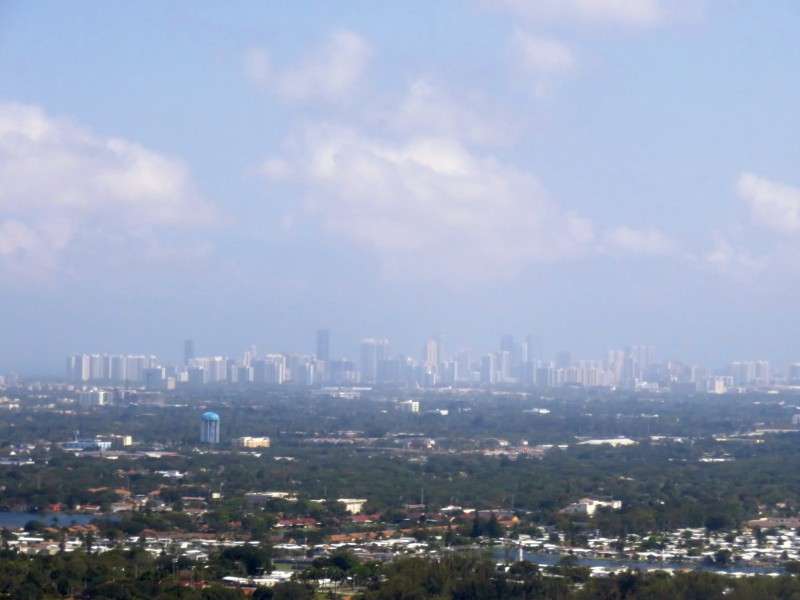
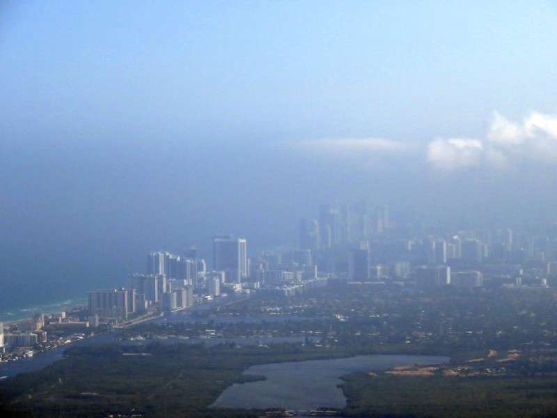
After a very quick layover in Fort Lauderdale, we were off to Nassau! We took off facing west, so I got pictures of Miami's skyline.
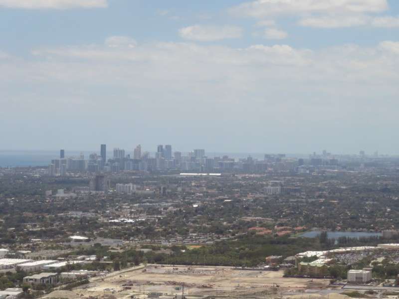
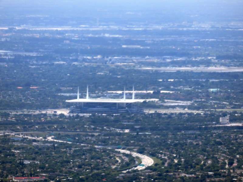
Hard Rock Stadium, home of the Miami Dolphins, wasn't too far away. The new soccer-style roof, to keep the blistering South Florida sun off of the fans, was recognizable.
I managed to get a picture of Miami and Miami Beach's skylines together.
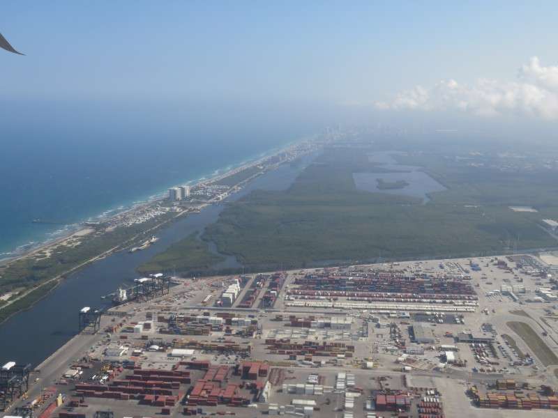
We circled around, and then flew over Pompano Beach.
Goodbye, United States!
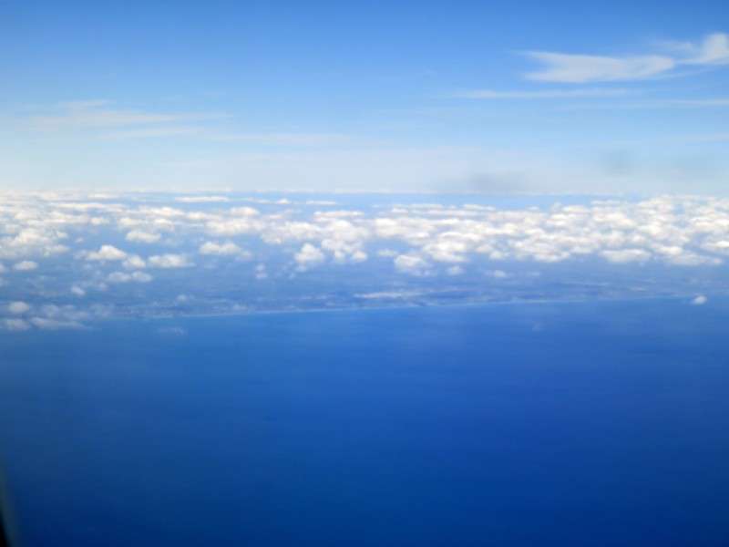
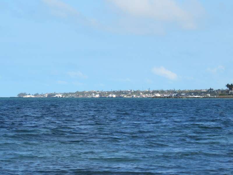
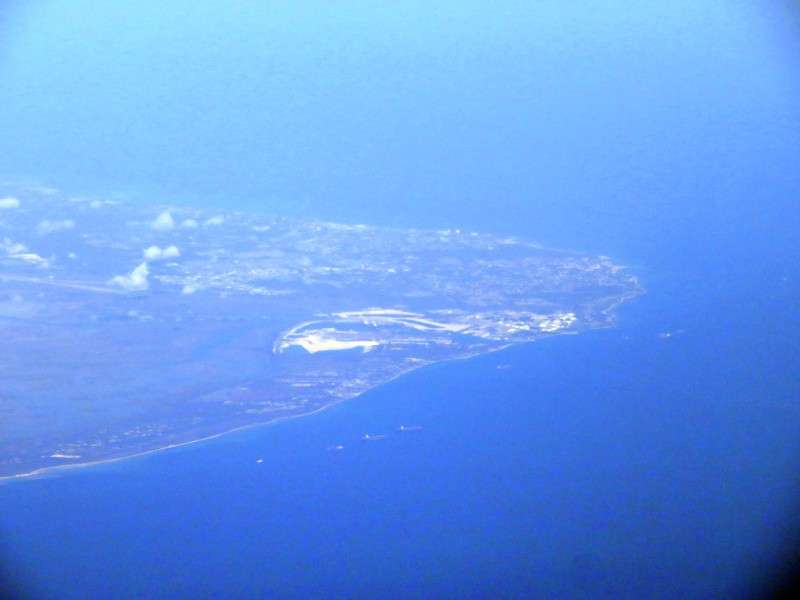
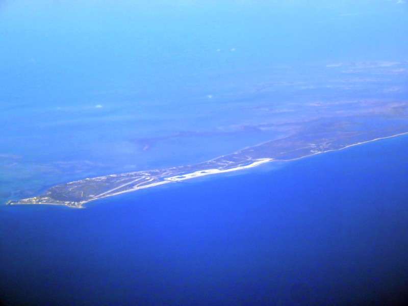
Off in the distance was Grand Bahama Island, which contains Freeport. But the sky was hazy, so I couldn't really see it too well. This picture was enhanced.
My first real glimpse of the country was Great Isaac Cay. I was officially in another country's airspace!
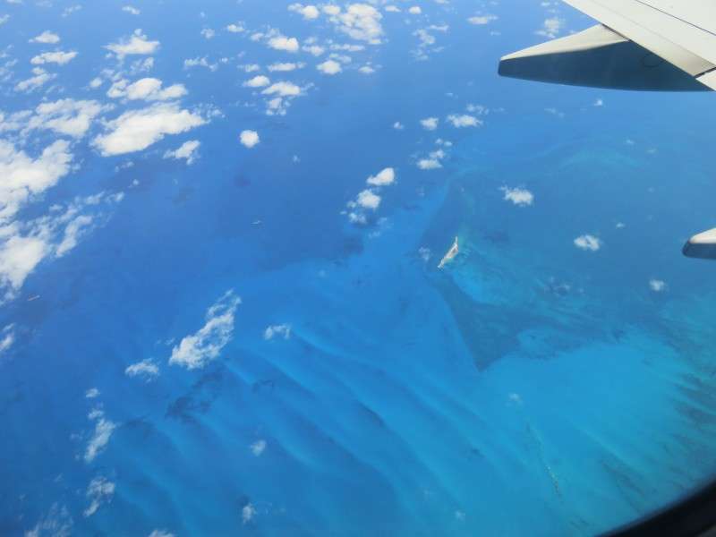
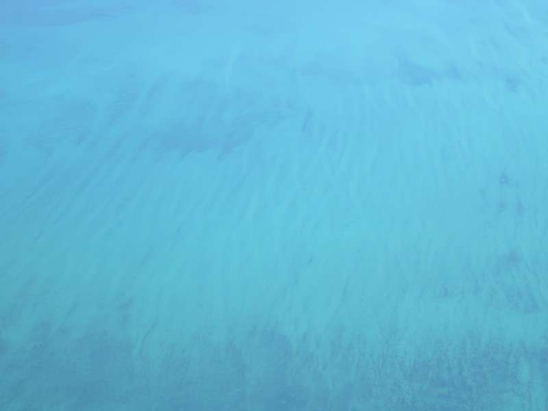
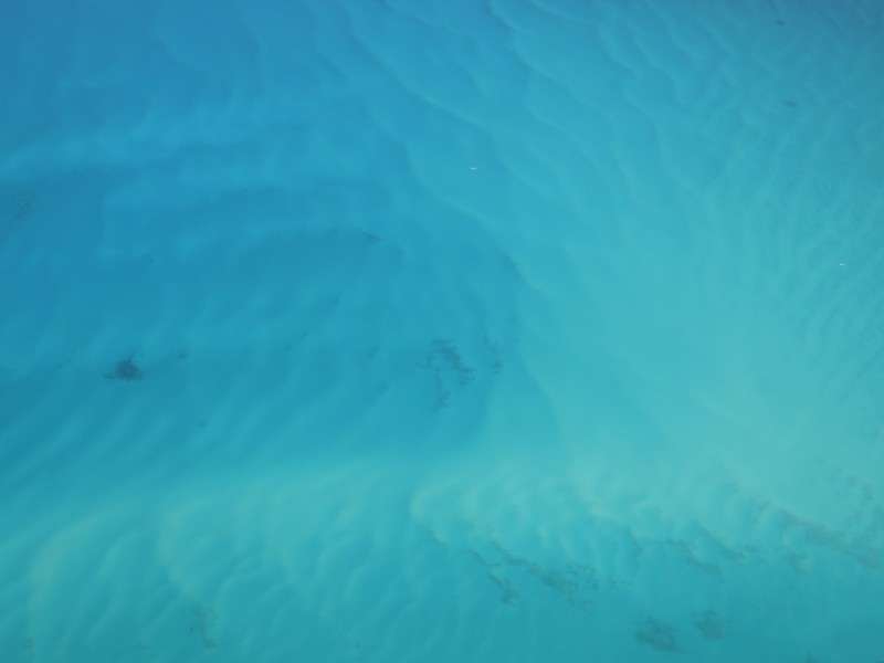
The water was unbelievably turquoise and blue.

Still off in the distance was Grand Bahama. I could make out the Freeport container port.

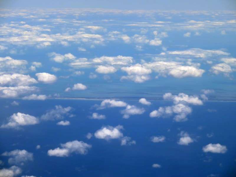
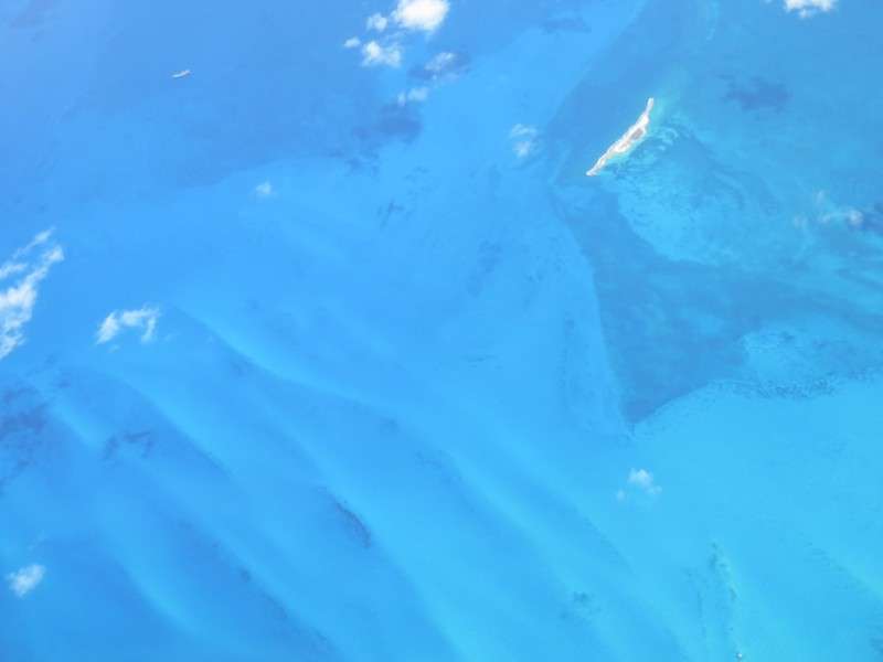
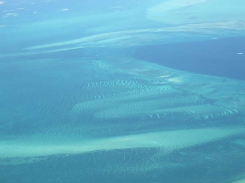
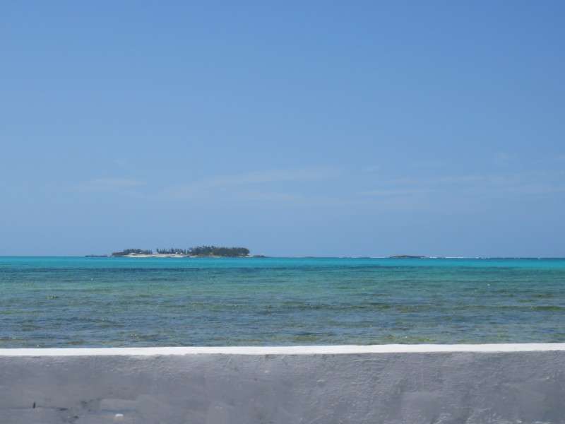
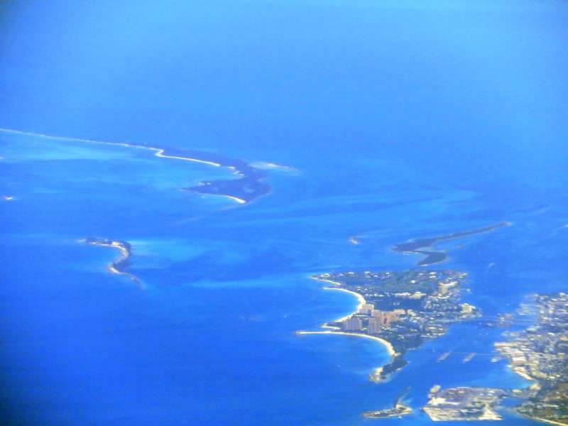
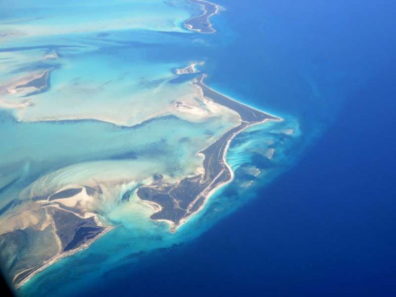
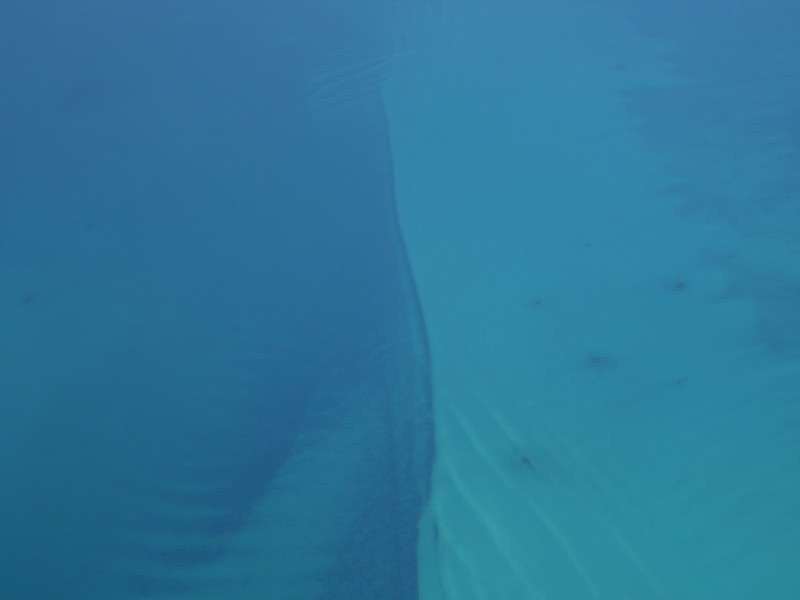
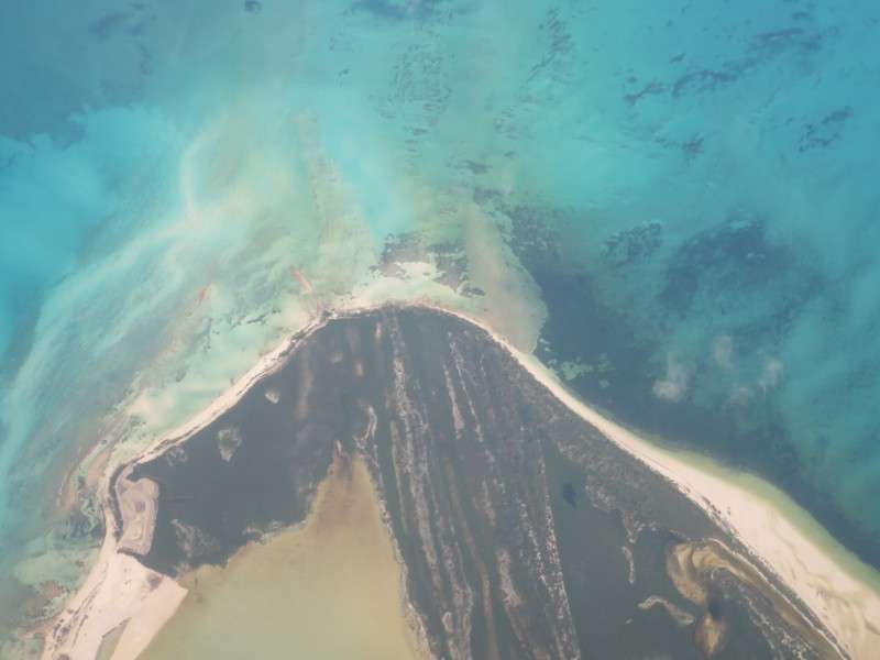
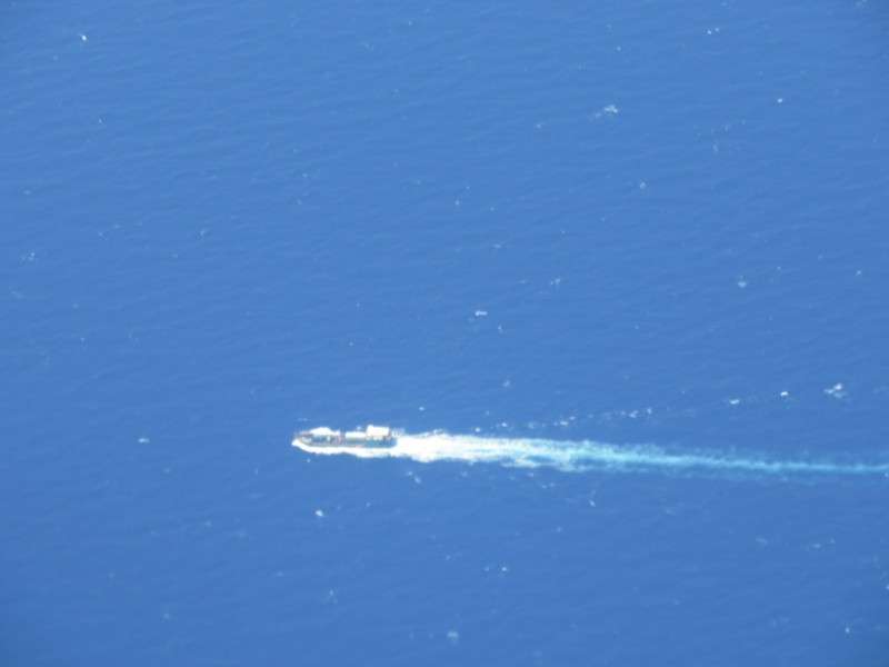
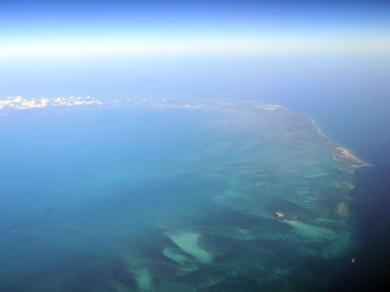
The shallow waters and countless sandbars of the Bahamas made for some dramatic settings. Here and there you could see boats out on the water.

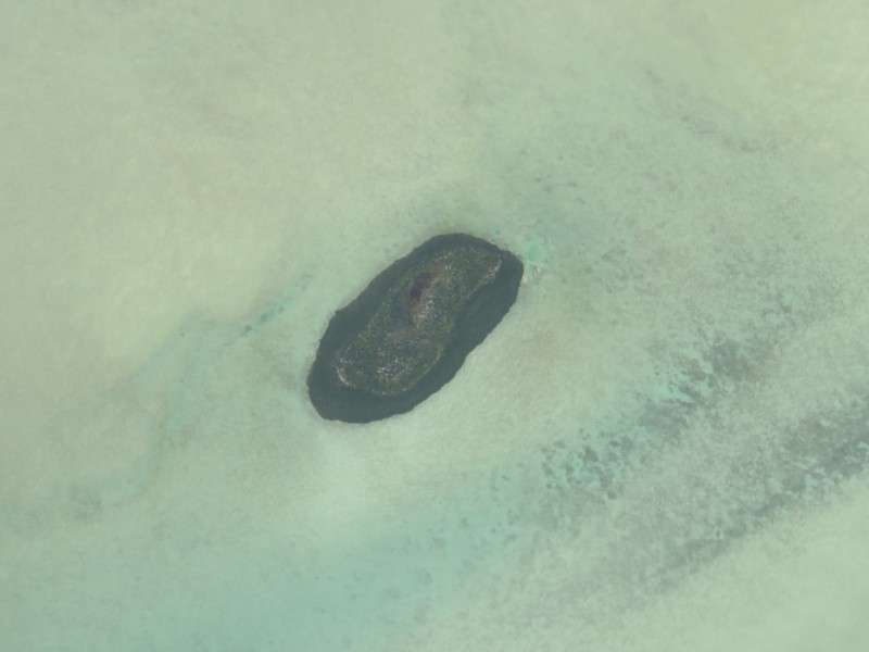
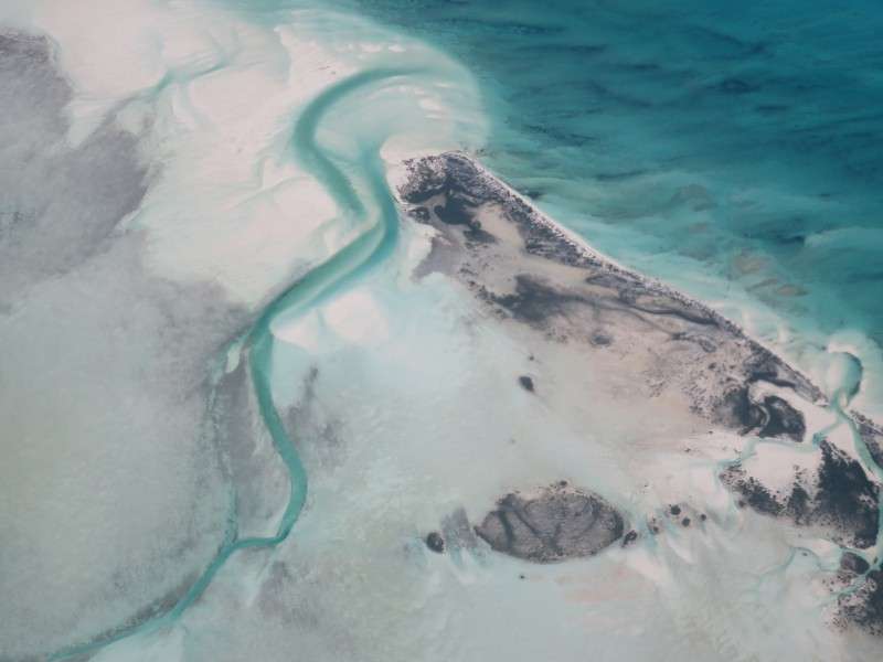
I thought this was interesting. This island was surrounded by water, then was surrounded by sand!
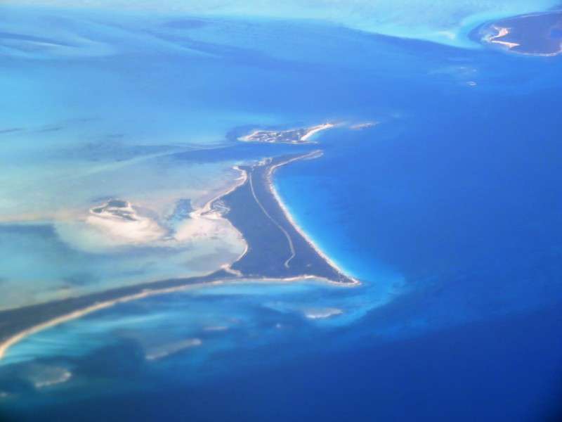
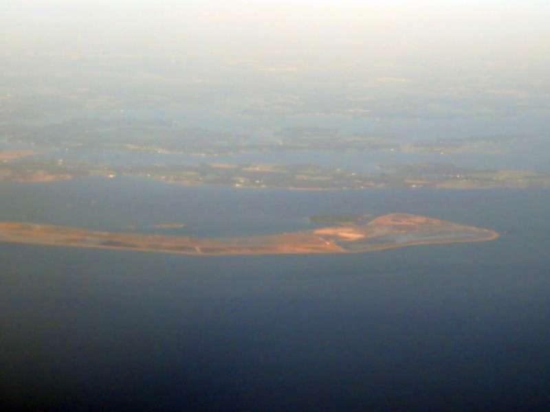
We flew over the Joulter Cays, which are off the north end of Andros Island.
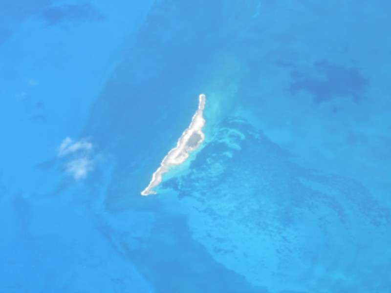
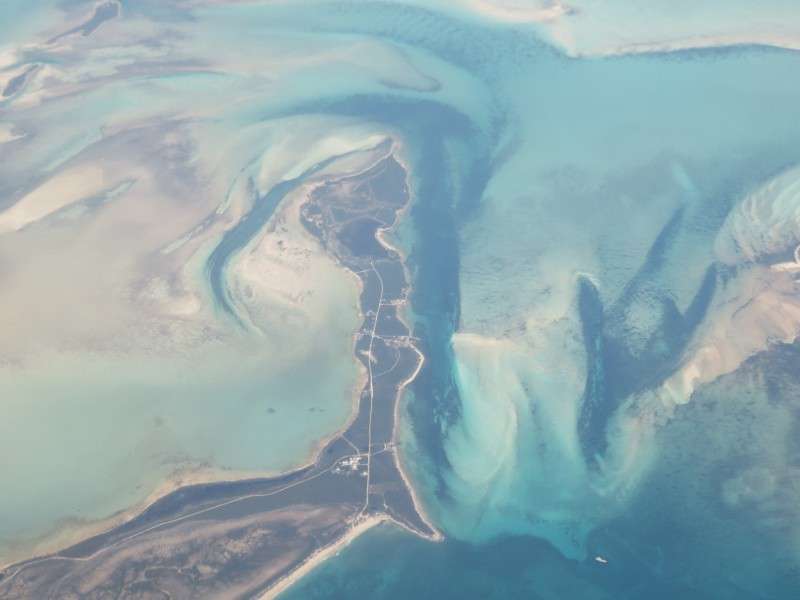
Off in the distance was Chub Cay, with the Chub Cay Resort, which has its grand opening this weekend, on July 1.
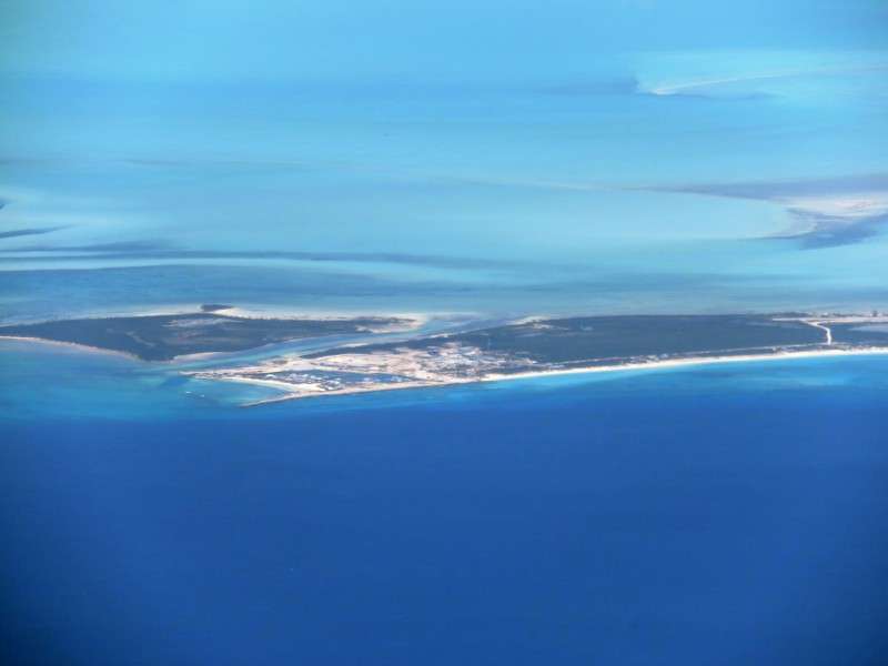
Next to Chub Cay is Whale Cay. These islands are part of the Berry Islands.
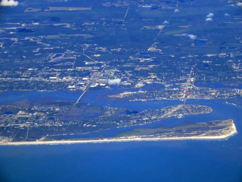
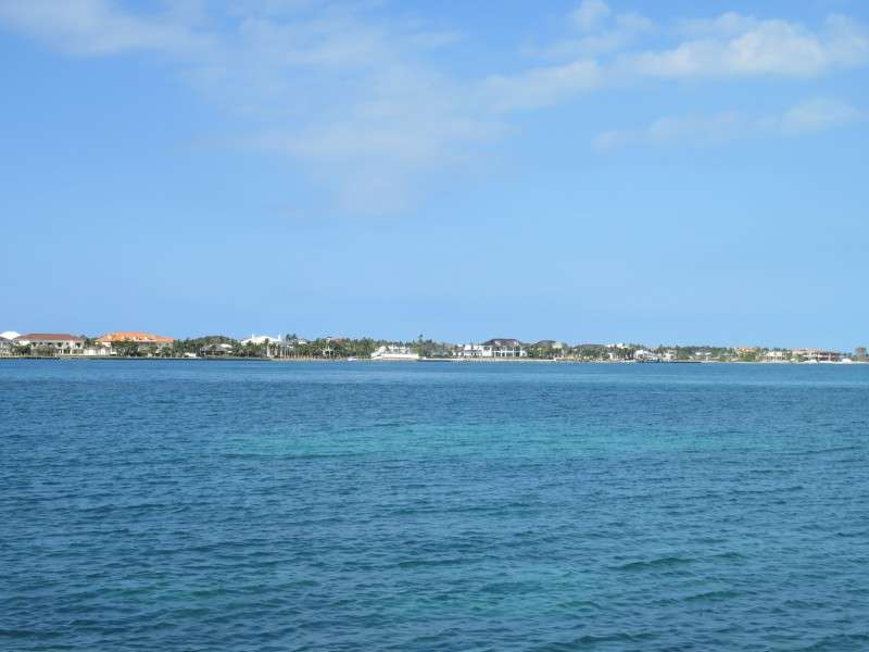
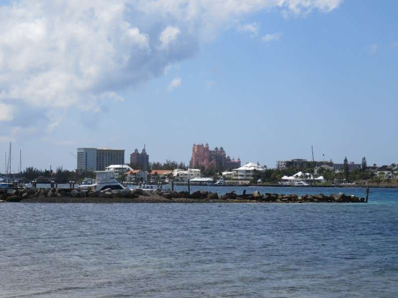
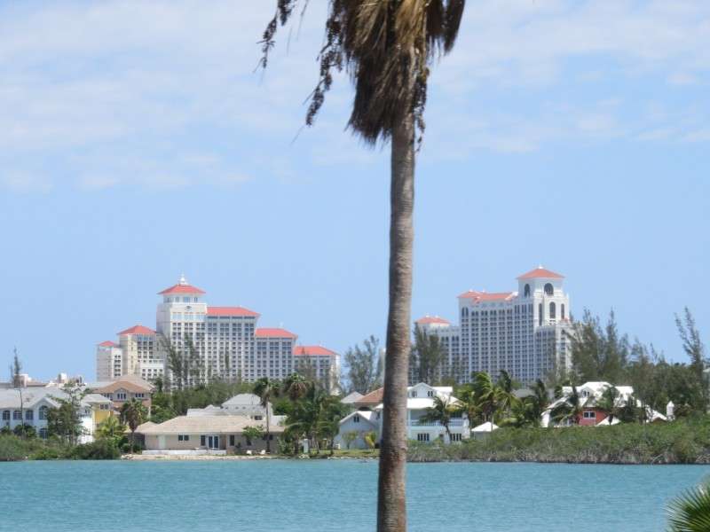
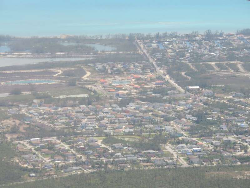
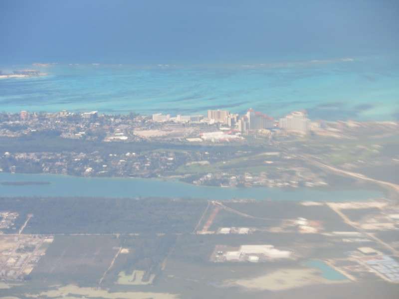
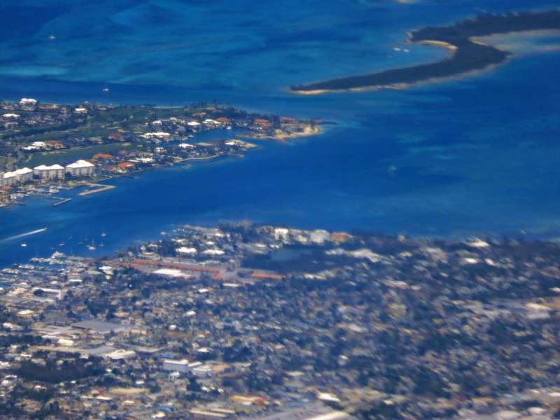
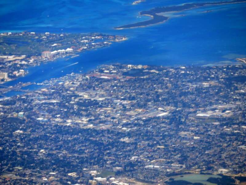
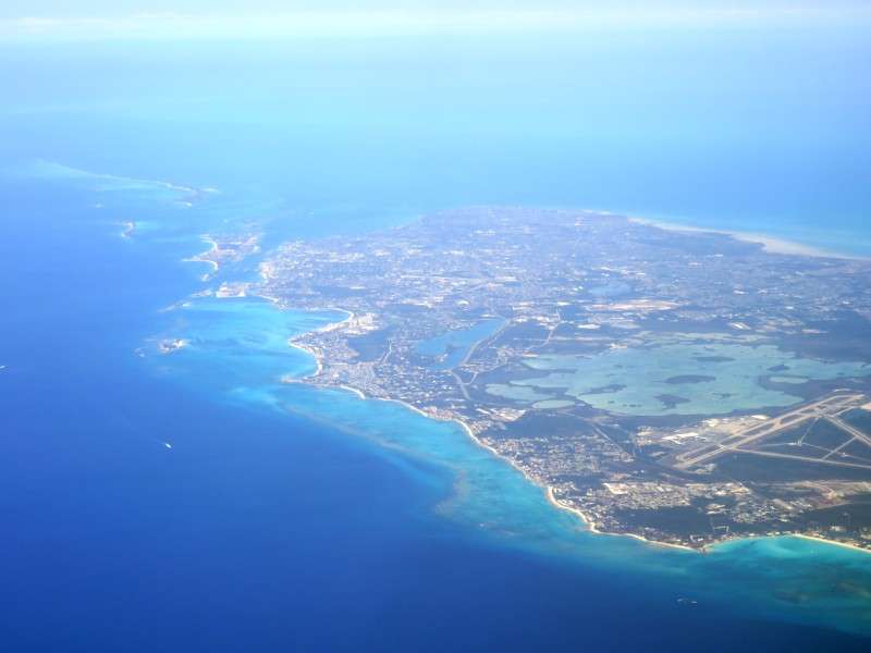
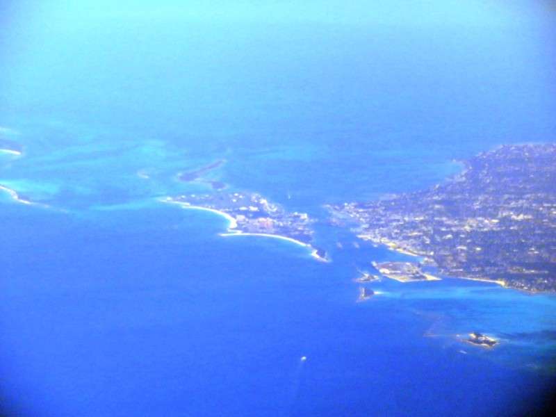
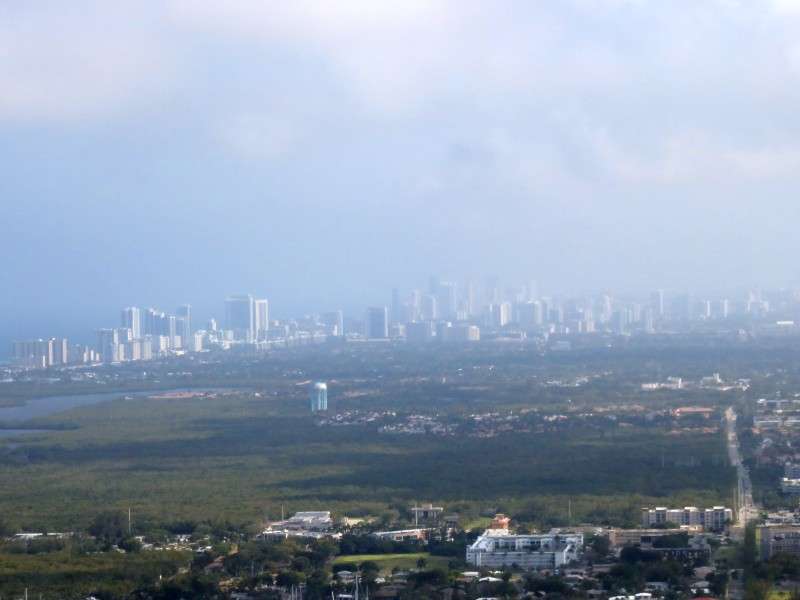
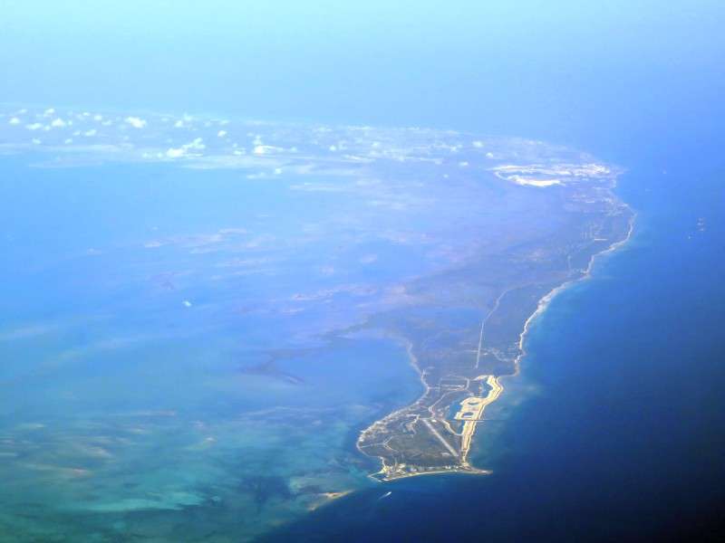
After a few more minutes (the entire flight from Fort Lauderdale to Nassau was 32 minutes), we were nearing New Providence Island. The highrises of the Atlantis Resort on Paradise Island, and the cruise ships docked in Downtown Nassau, were visible through the haze.
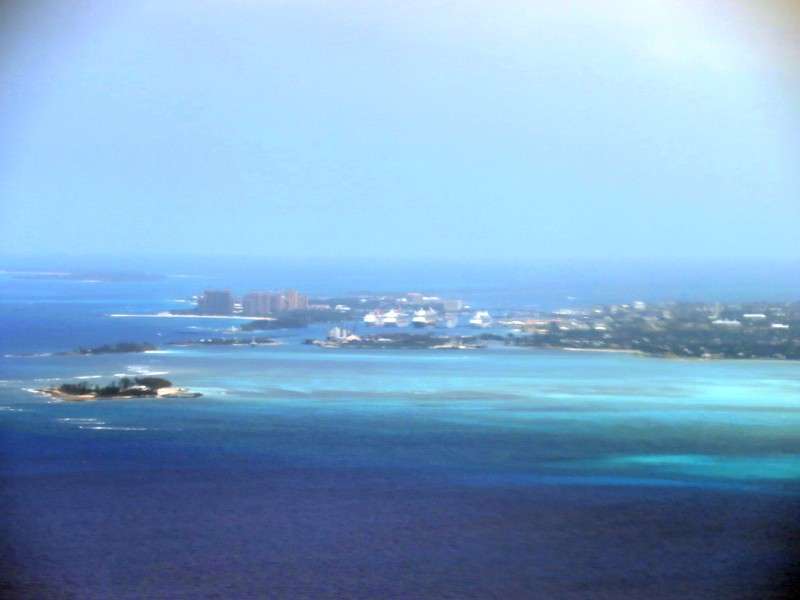
The highrises of Cable Beach were also visible.
And then I got a picture of both skyline clusters as we got close to landing.
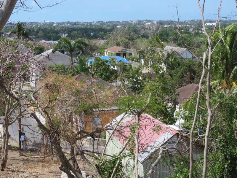
Right as you prepare to land, there's an impoverished area off of Tropical Gardens Road.
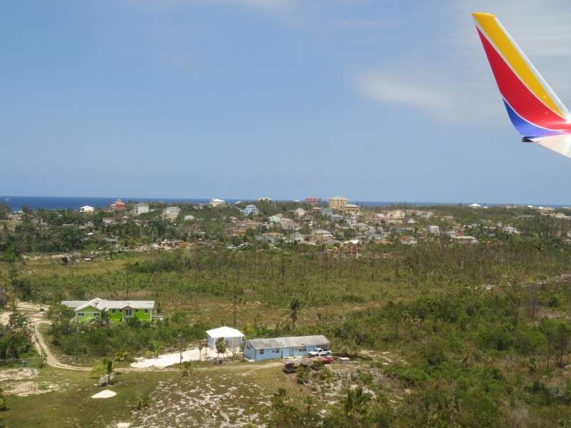
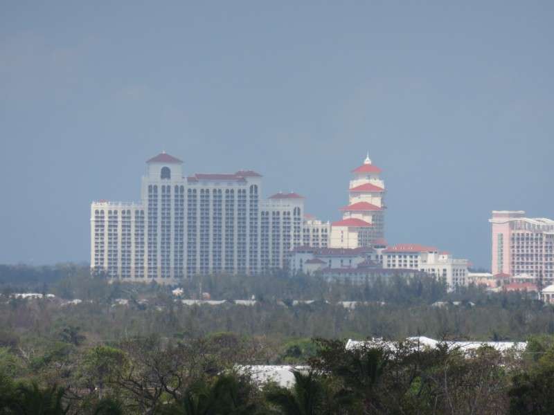
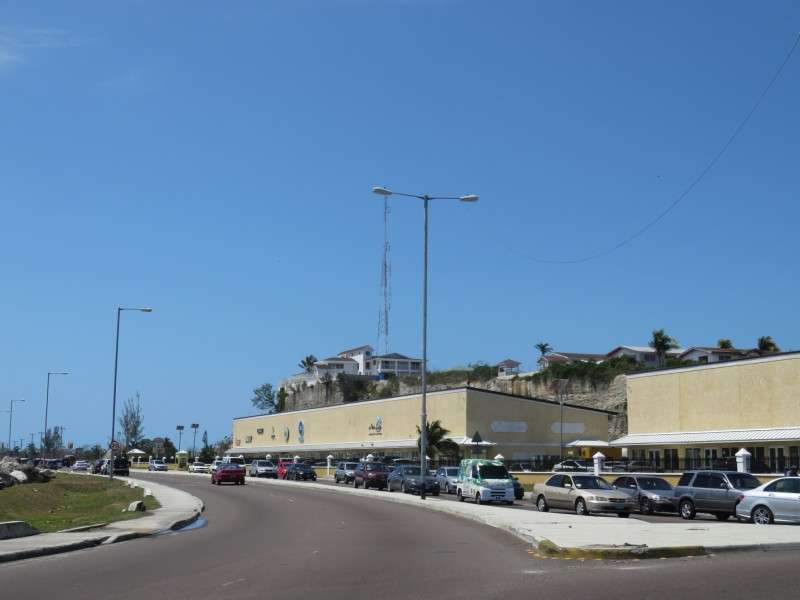
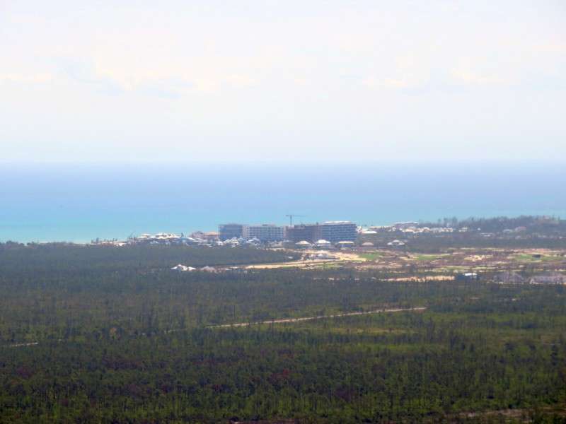
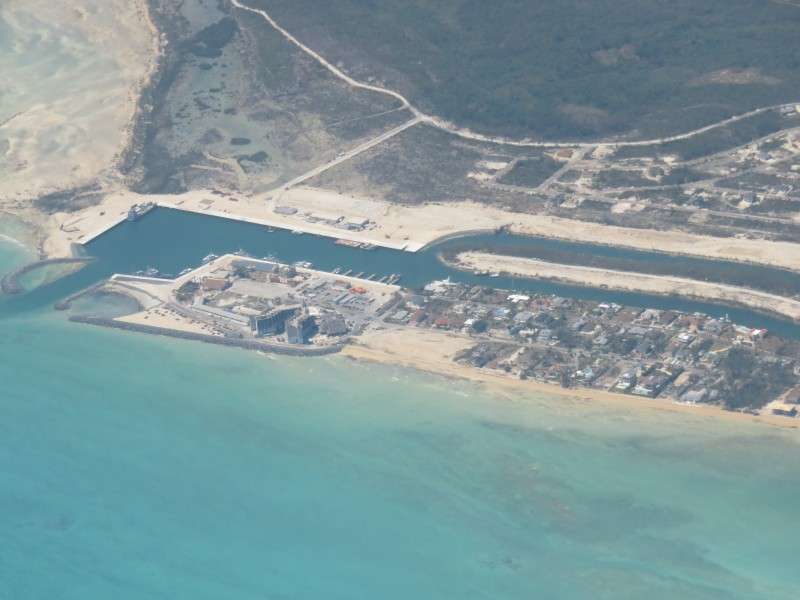
And then as the wheels touch down, you can see the Baha Mar resort at Cable Beach.

Inside the airport, there's a hallway featuring famous Bahamian athletes. Naturally, almost all of them are track stars.

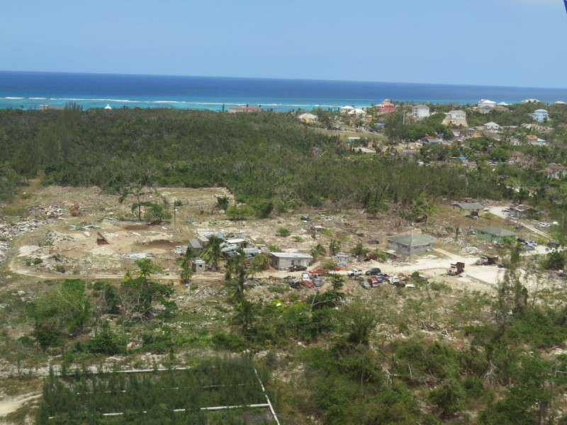
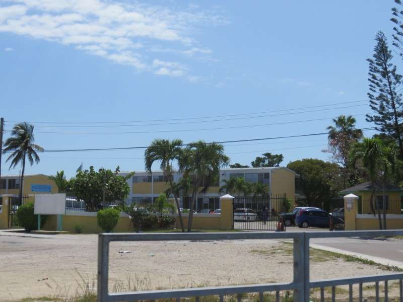
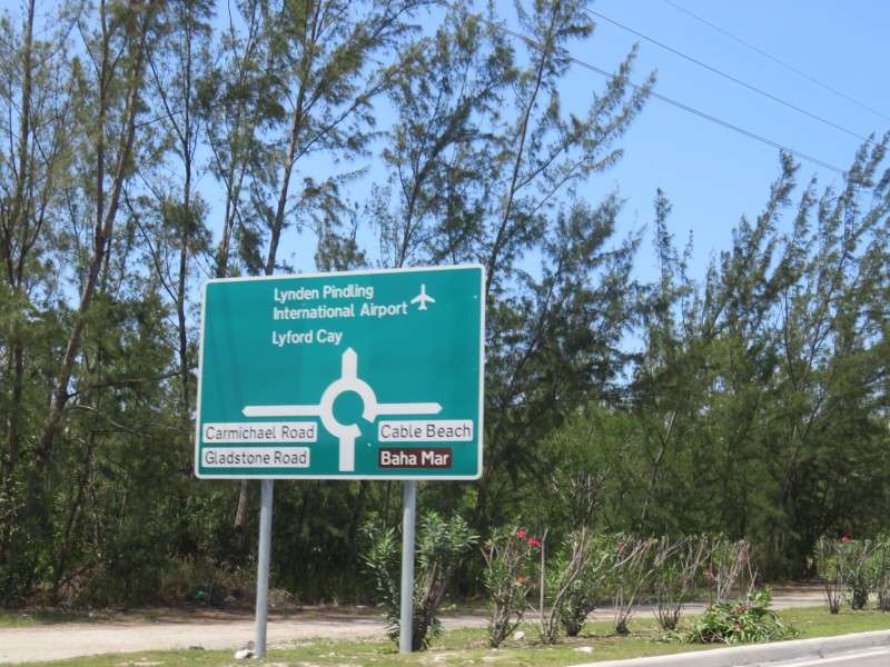
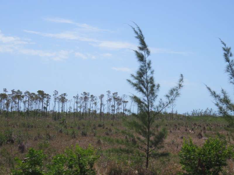
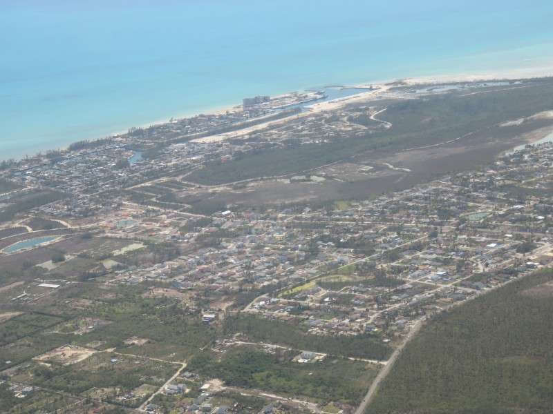
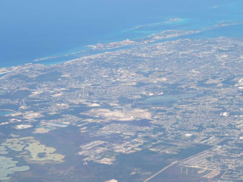
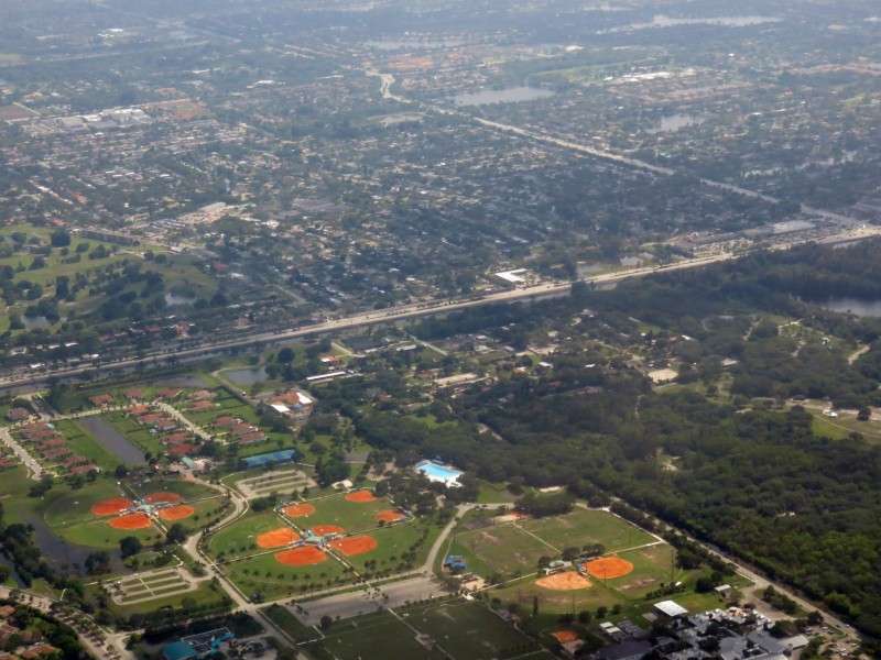
After going through Customs, which wasn't too bad because it was a Tuesday in late April, it was off to my hotel. The interior of New Providence Island looks like this. This was at Windsor Field Road, right by the traffic circle for John F Kennedy Drive.
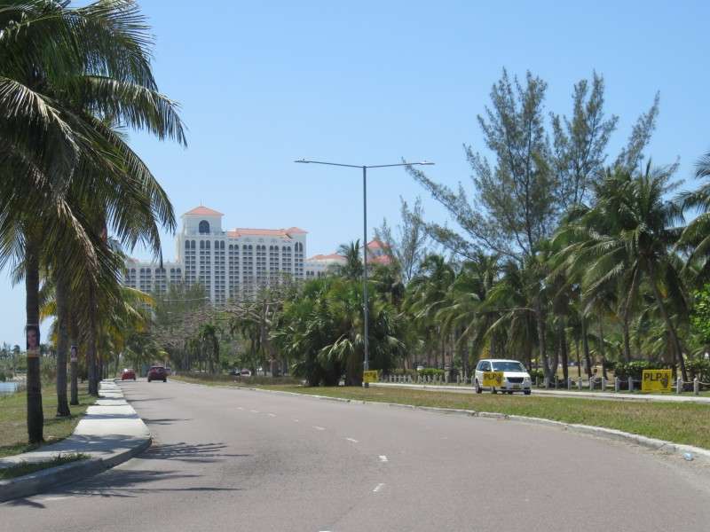
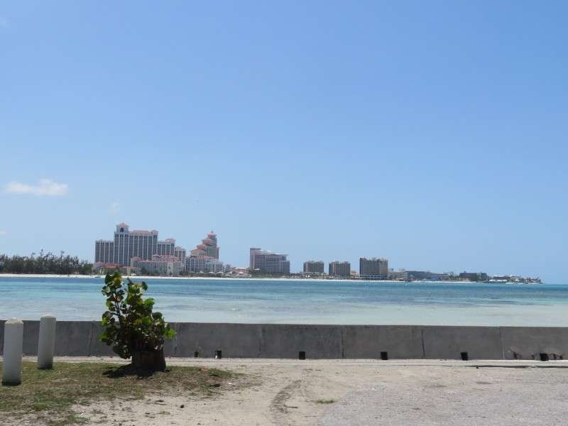
Along JFK Drive, there was a good view of the Baha Mar resort across Lake Cunningham.
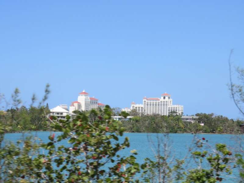
I got another view of the resort from W. Bay Street.
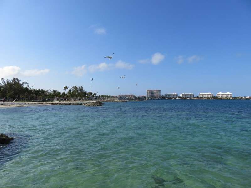
After turning onto W. Bay Street and rounding a bend, I got my first glimpse of the amazing Bahamian water!
You get a better view of Baha Mar from farther east on W. Bay Street.
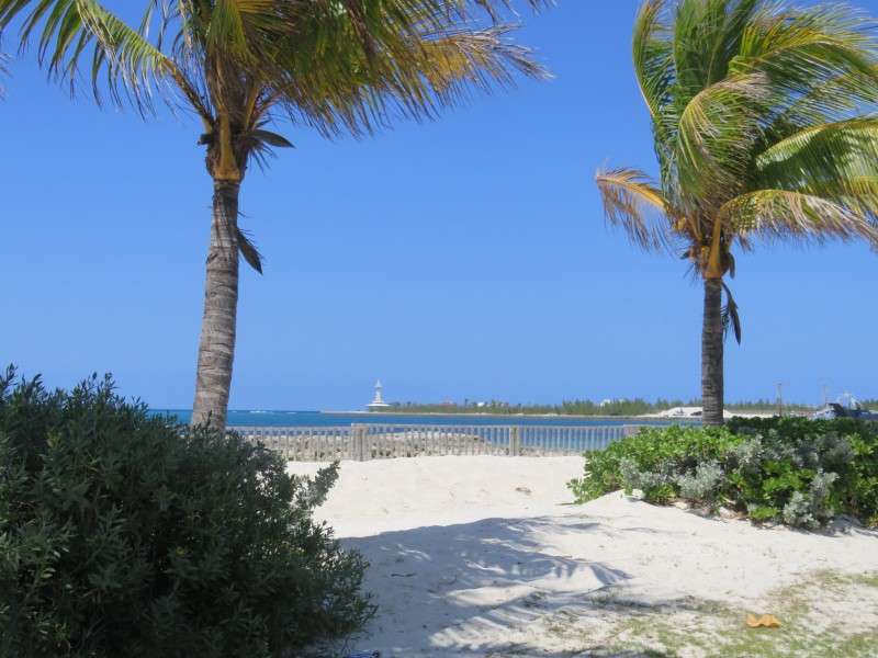
This looked like a nice little beach! Off in the distance is the Coral World Aquarium, which is abandoned and provided a staircase down to a glass-enclosed view of the coral reef and marine life. Apparently you can still go down the steps, even though it's abandoned.
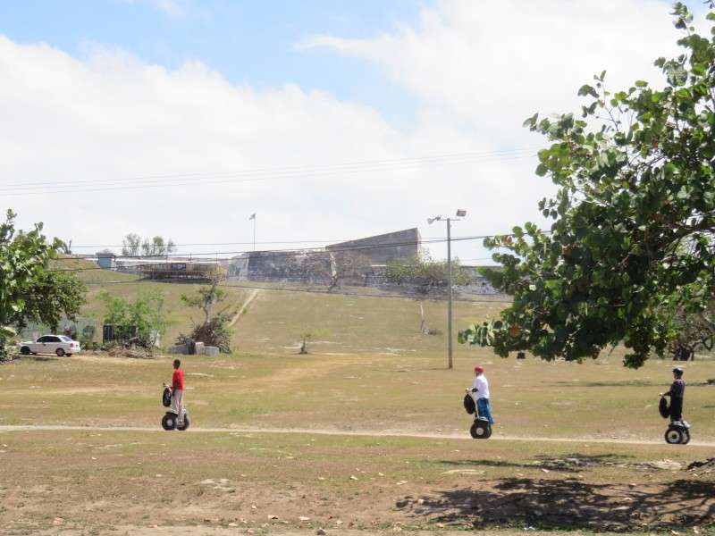
Fort Charlotte, one of the many fortifications on the island, is just off of W. Bay Street.
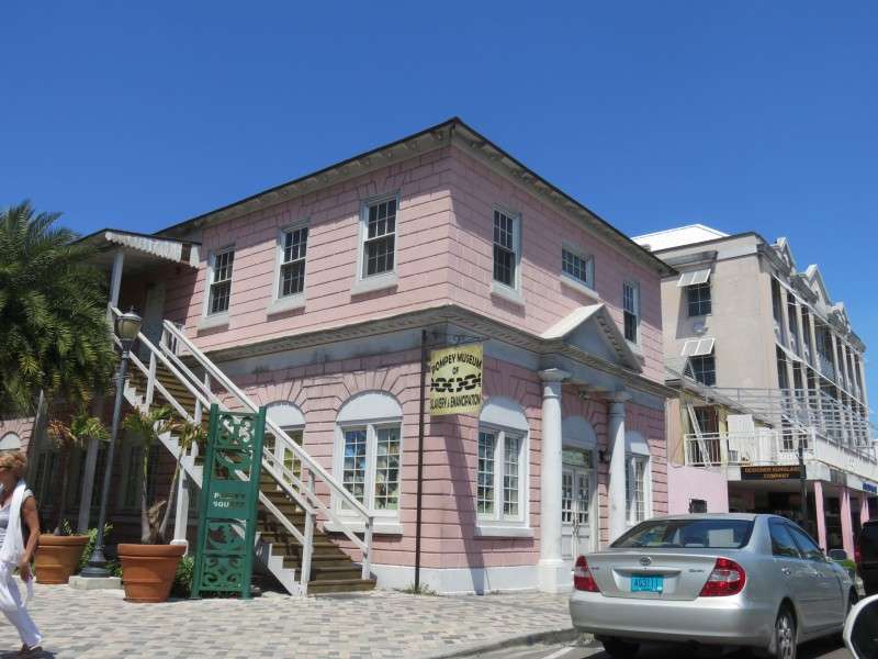
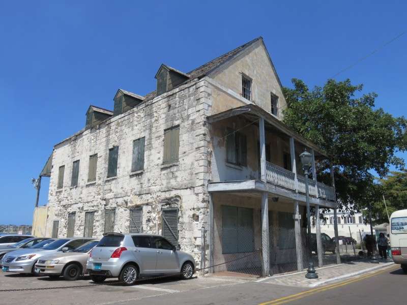
Next, I was in Downtown Nassau. The Pompey Museum is housed in the Vendue House, which was a slave-trading market from when the place was built before 1769, until into the 1800s.
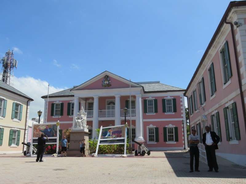
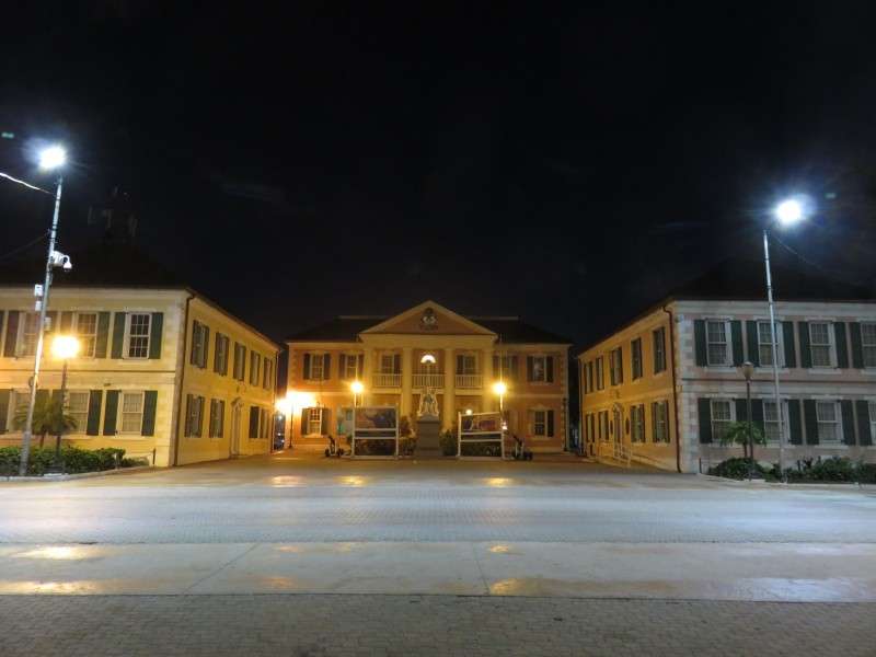
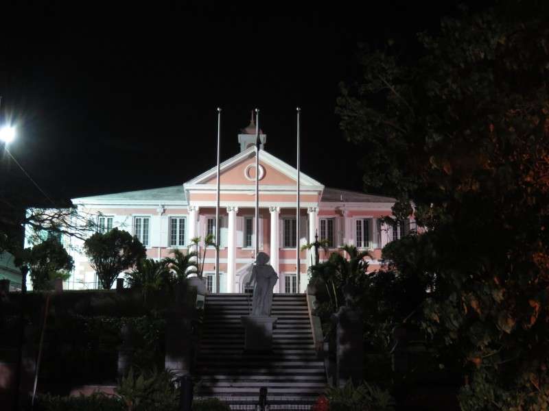
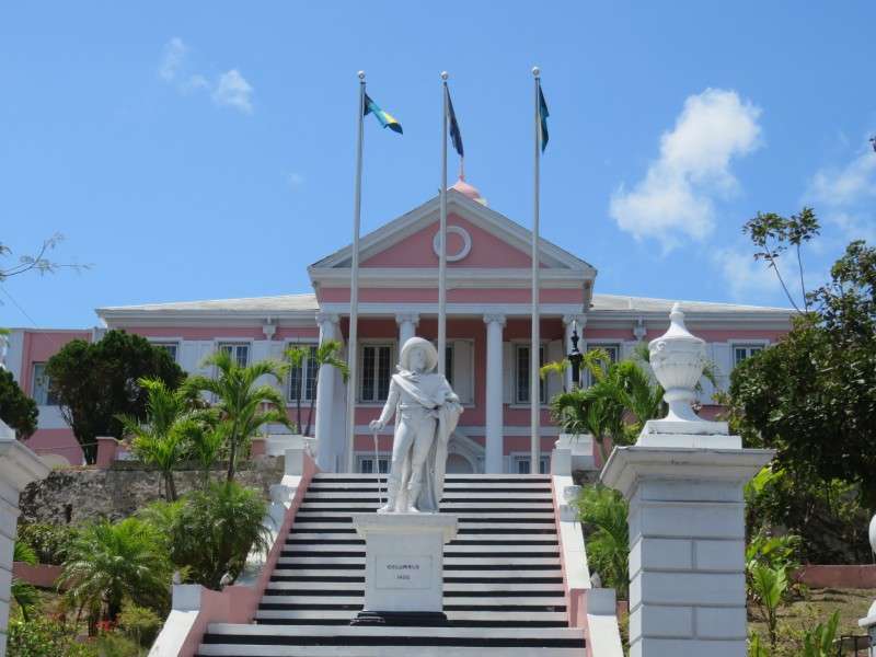
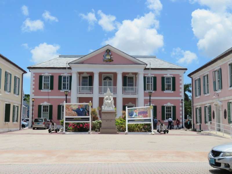
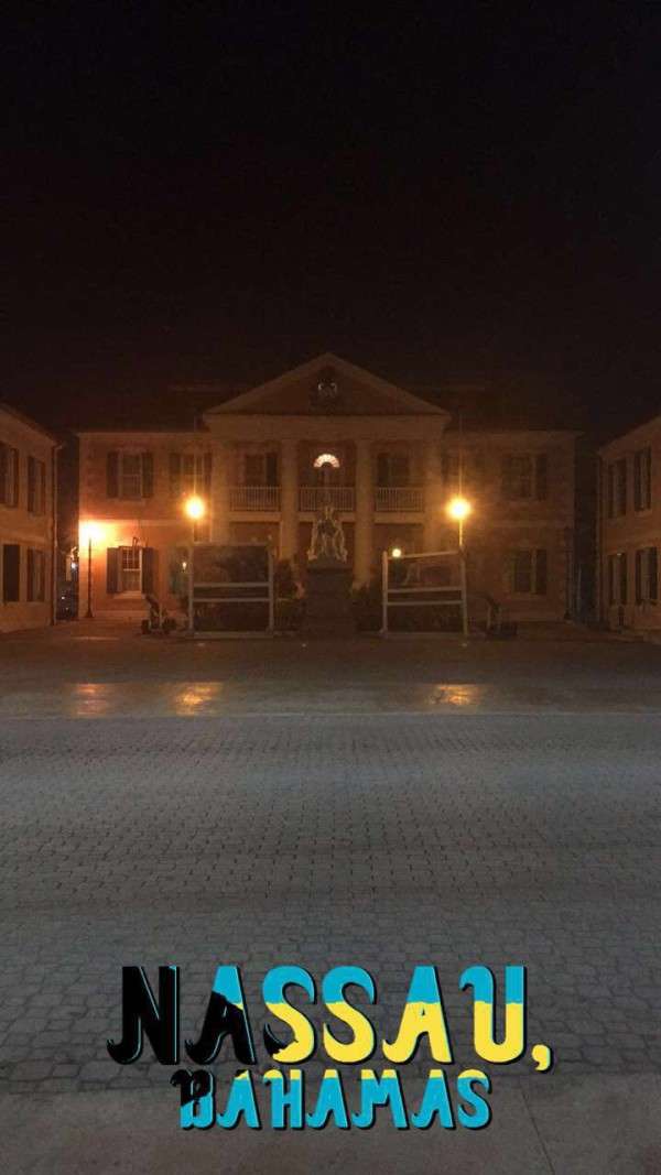
The Bahamas' Parliamment Building is along Bay Street in the heart of Downtown Nassau.
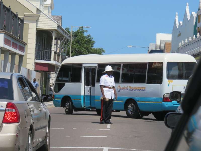
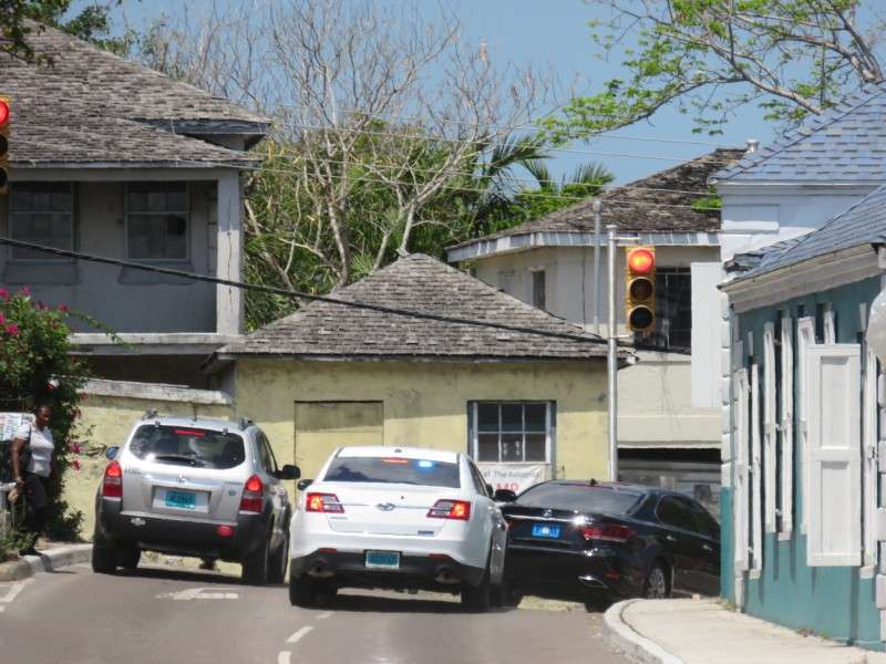
Nassau has traffic lights, but at the intersection of Bay & East Streets, a police officer mans the traffic.
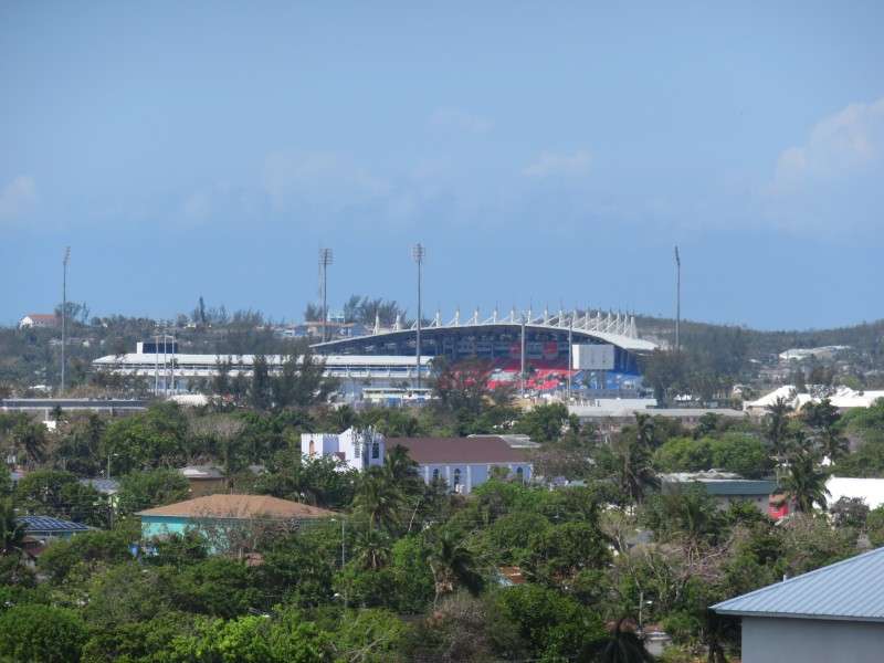
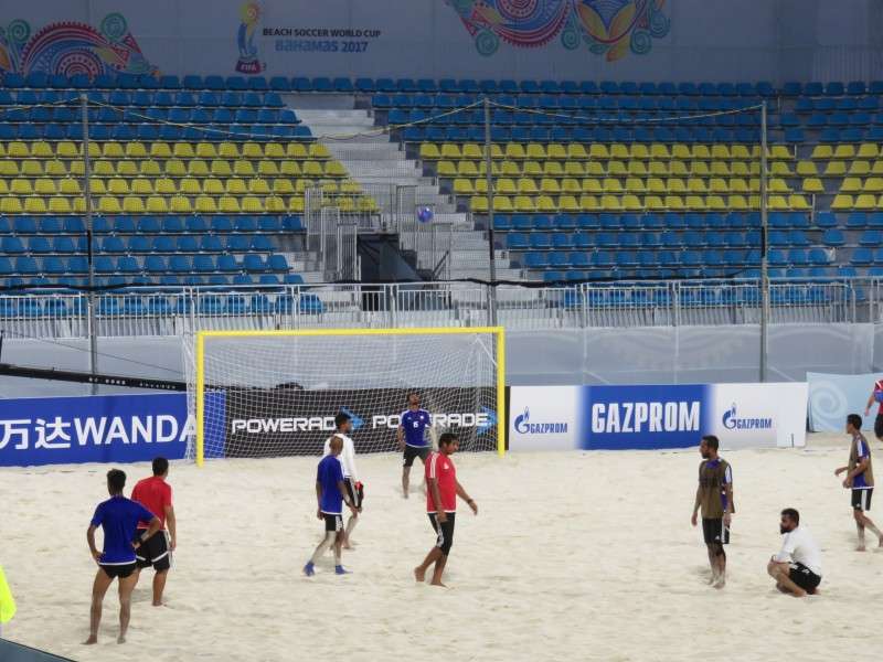
On the eastern edge of Downtown, by the Sir Sidney Poitier Bridge, was Nassau Stadium. Nassau Stadium was built in 2017 (actually finished the day that I arrived, and the day of this picture) as a beach soccer stadium. The FIFA Beach Soccer World Cup was taking place, beginning on the day that I was leaving.
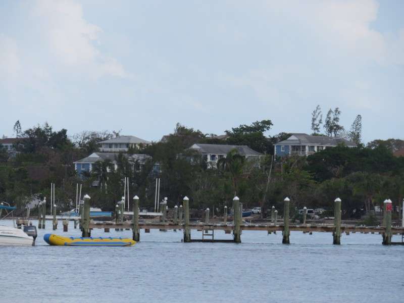
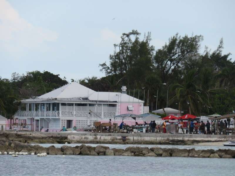
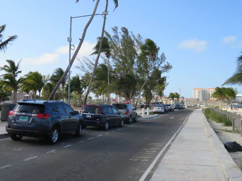
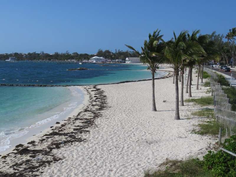
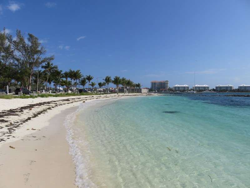
After getting to my hotel, I walked about 10 minutes down Village Road to Montagu Beach.

I was walking down Village Road to get here: Montagu Beach. The beach was mainly a locals beach, but it served me well all the same.
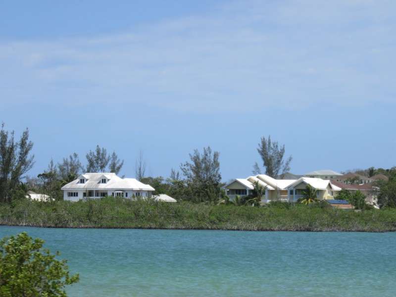
You get a nice view of the houses on the southern side of Paradise Island from the beach.
There are some nice houses along the water or overlooking the bay on the eastern end of New Providence Island, too.
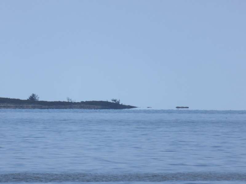
Part of Athol Island is visible from the beach, before it disappears over the horizon.
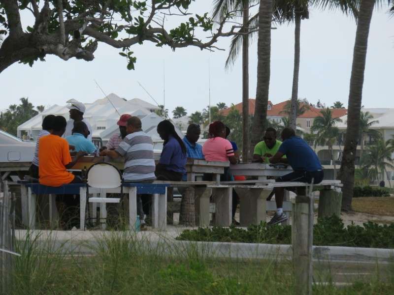
It was definitely a locals beach/park, because some of them had gathered in the afternoon to play dominoes.
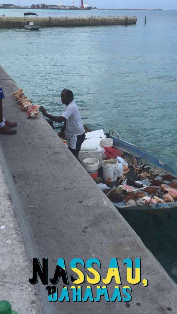
Down at the other end of the park, a locals fish market was operating in a parking lot. Catches were being hauled in here and chopped up on-site.
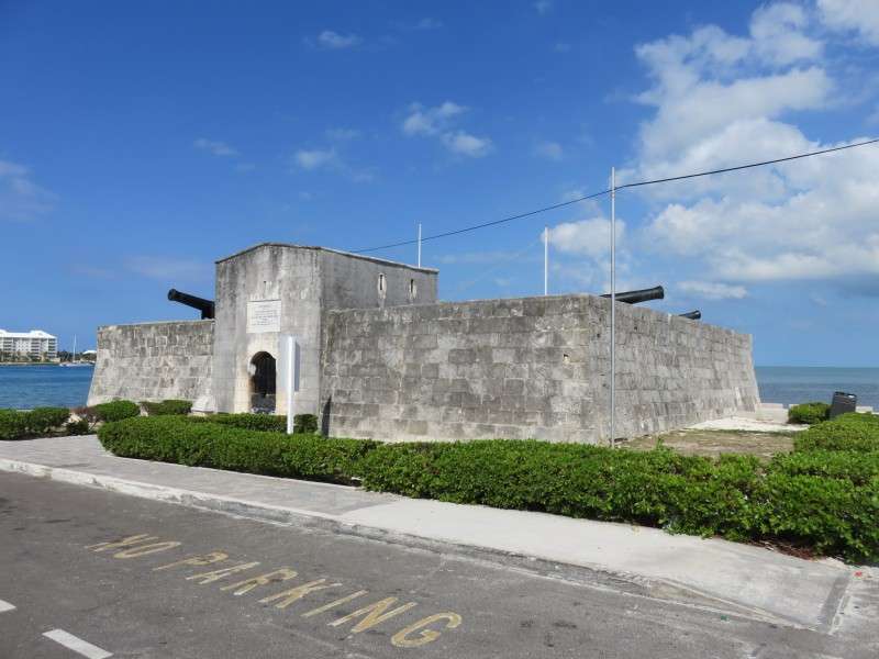
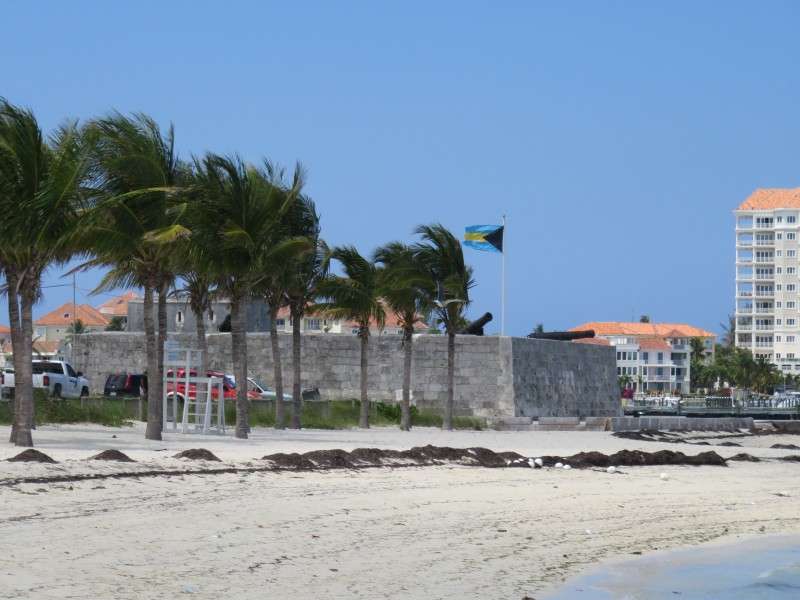
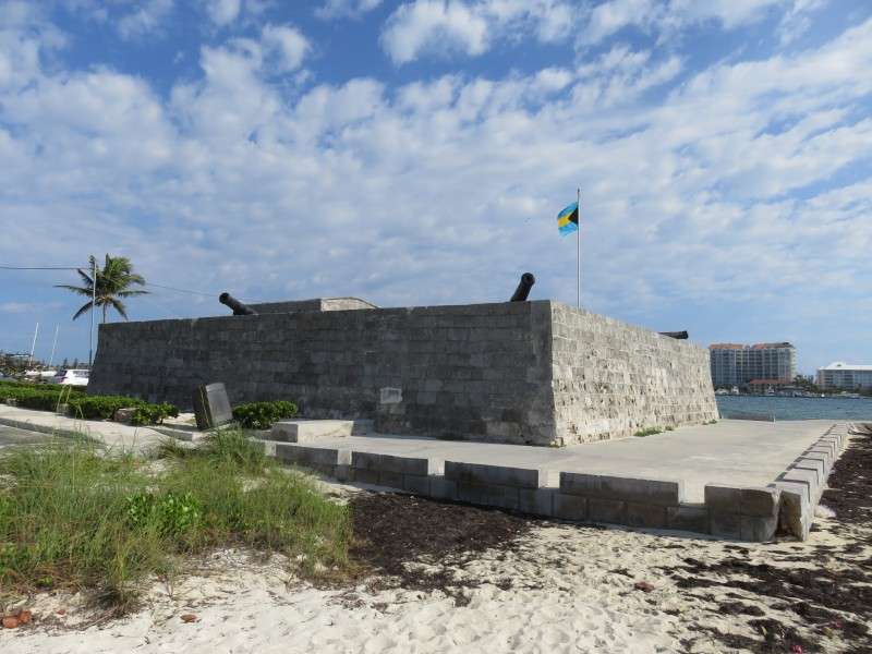
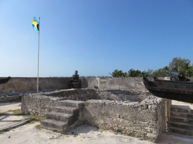
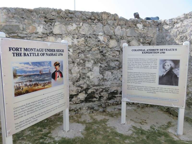
At Montagu Beach is Fort Montagu, built in 1741 to defend the British from the Spanish.
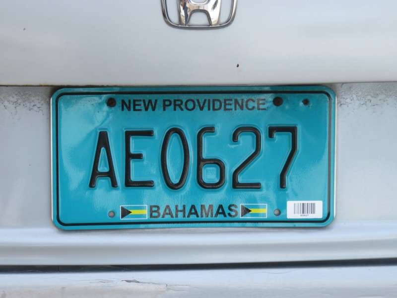
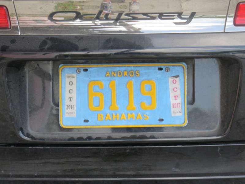
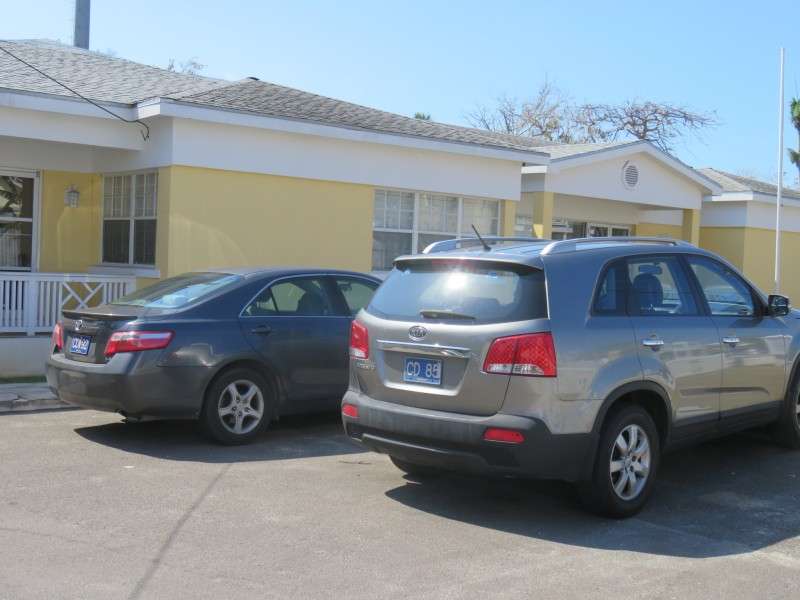
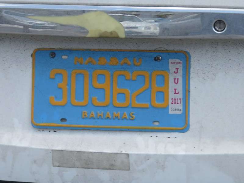
I wanted to get a picture of a typical licence plate in the Bahamas. Down there, instead of a different plate for each state or province, there's a different plate for each island. But they all look the same, and I'm guessing the Federal government handles the plates, instead of each individual state here in the US. This is the plate for Nassau.
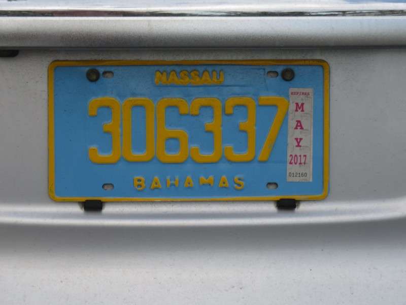
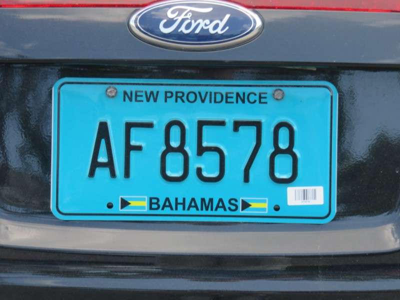
But for some reason, the latest license plates issued are for New Providence Island, which would be consistent with listing the other islands.
I walked back along Village Road to my hotel to get ready to find some dinner.
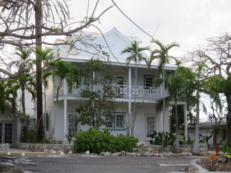
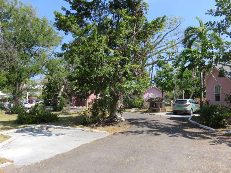
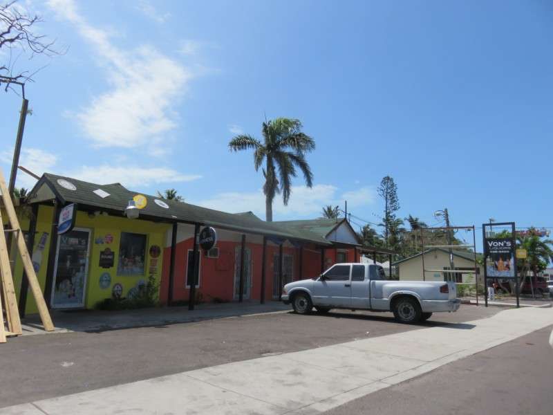
This building on Village Road is typical of what you'll find on the island away ffrom the central business district.
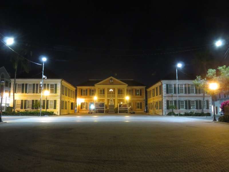
That night, I went into Downtown to get some dinner, and then to have a couple beers. I walked around Downtown, starting at Parliament at Rawson Square.
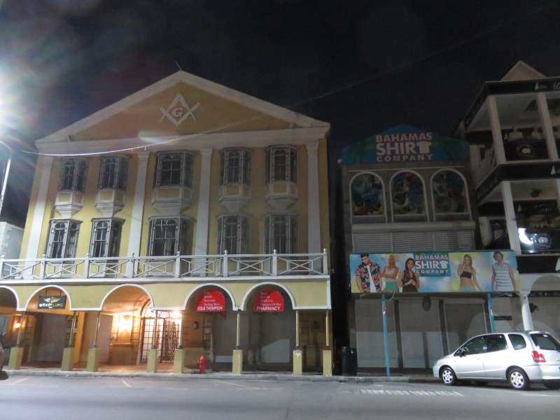
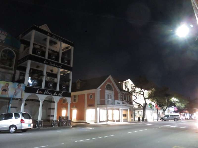
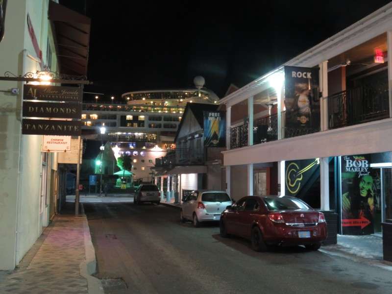


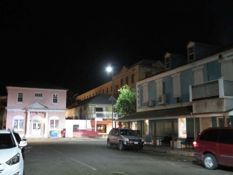
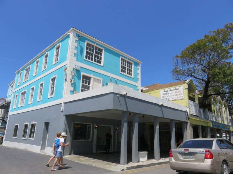
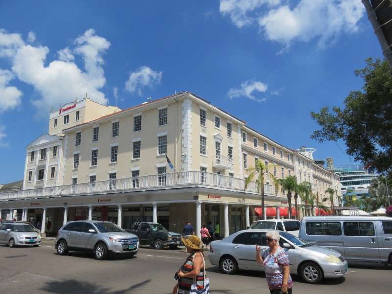
The next morning, I went off to explore Downtown Nassau with daylight. Not wanting to take a $20 cab to go a couple miles, I started walking. It took me over 30 minutes, but I got to see some side streets. Here's some buildings along the way.

Some of Bay Street, east of Downtown, is pretty barren.

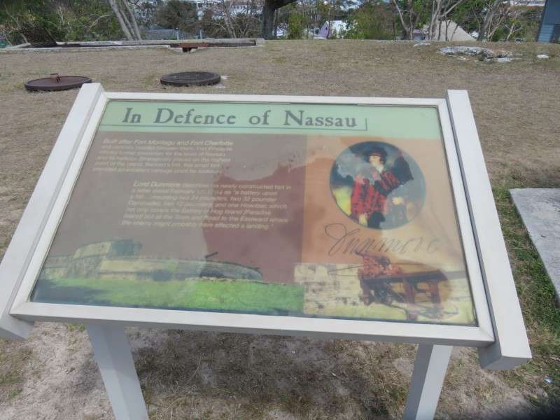
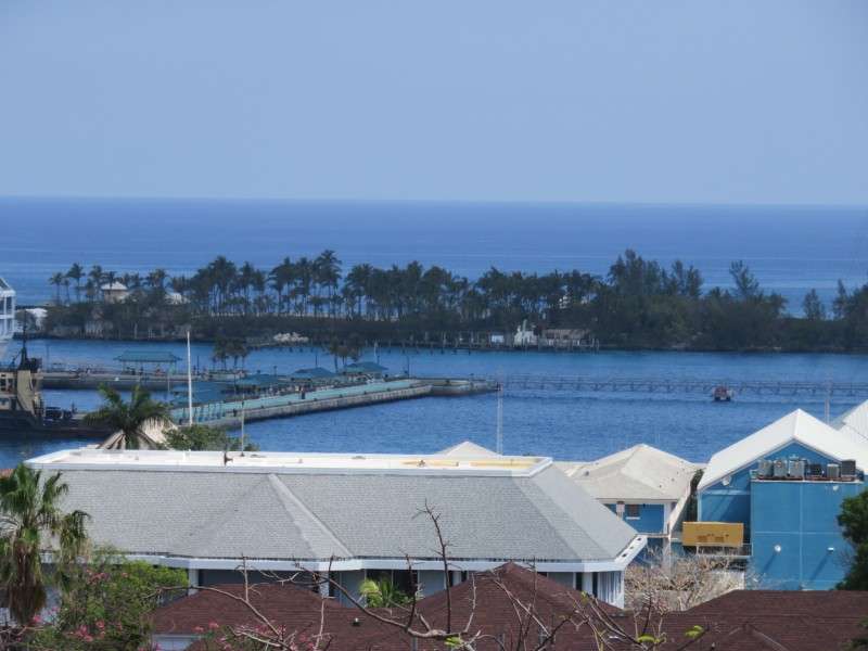
I stopped by Fort Fincastle to get the views and to see the fort. The fort itself is small. There's some signage here and there to explain defending the island.
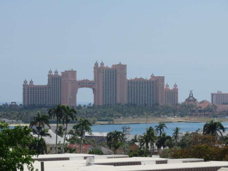
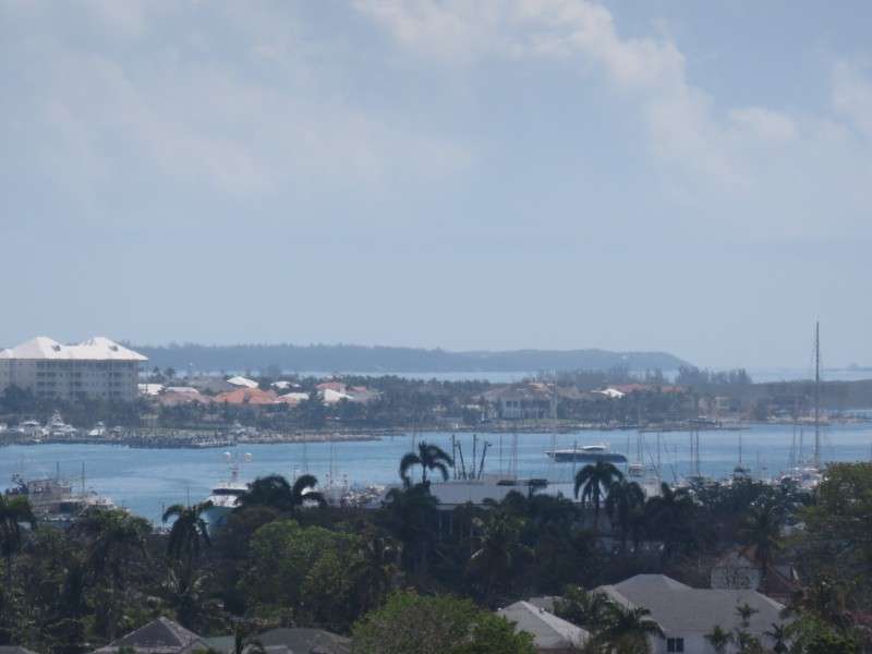
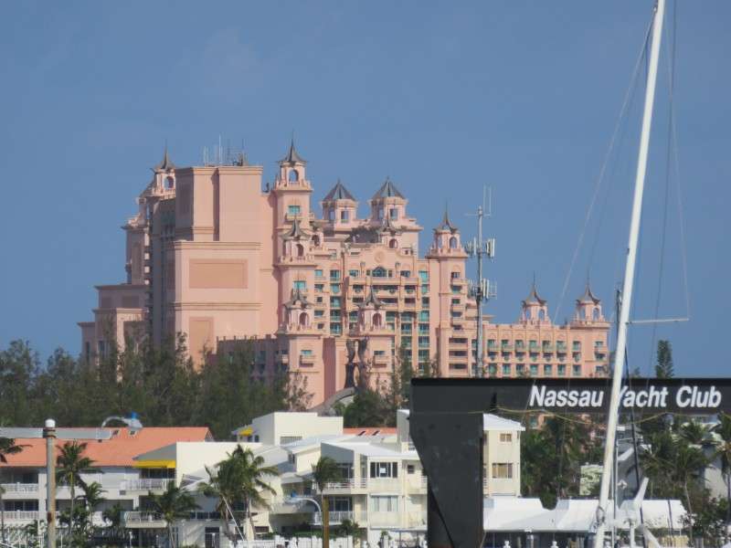
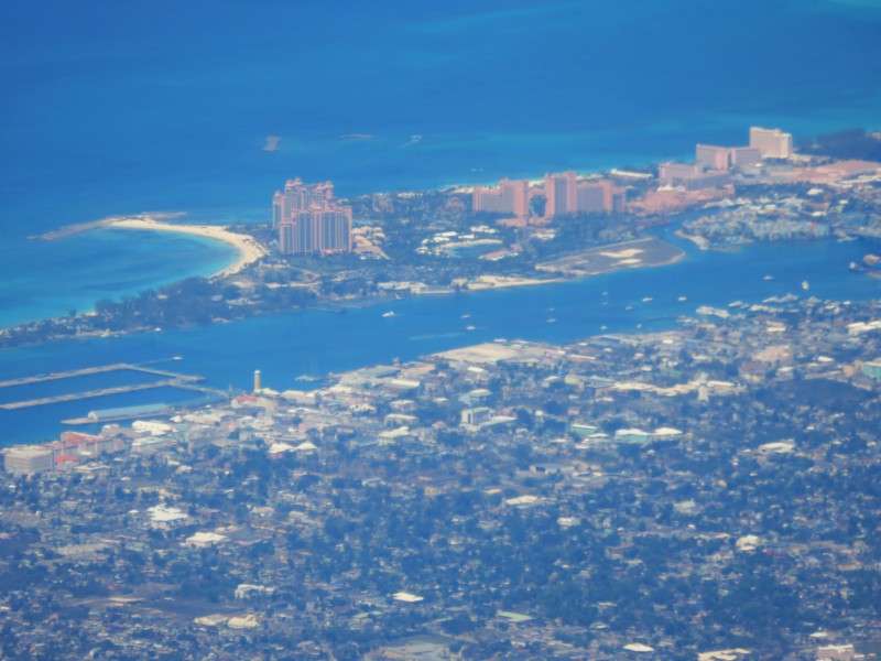
As you look out over the harbor and Paradise Island, you could see the Atlantis resort from Fort Fincastle. You can tell that the tallest building is Atlantis Royal Tower East, which is right in the middle of the picture and has the bridge to the left. That highrise is the tallest building in the Bahamas, at 305 feet. It was completed in 1998.
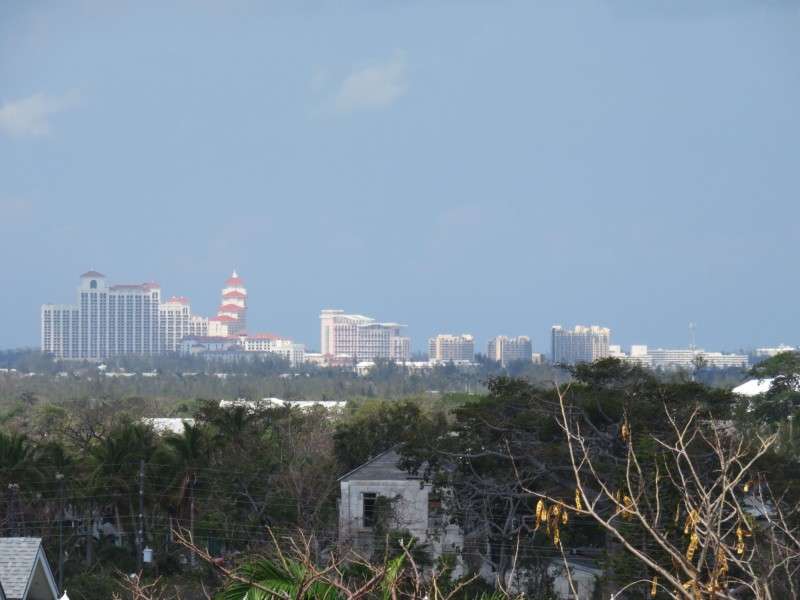
I could also see the Baha Mar resort, the other main cluster of highrises, from Fort Fincastle.
I turned away from the water and took a few pictures of the middle of the island. Nassau is a pretty dangerous city, with 67 murders in 2017 as of mid-June. In the middle of the island is where most of the murders happen.
Thomas Robinson Stadium is one of the key buildings inland. The nation's primary stadium, which holds a little over 15,000, was built in 1981.
You could see much of Paradise Island from the fort. It makes sense, since the fort was meant to protect the town and the harbor.
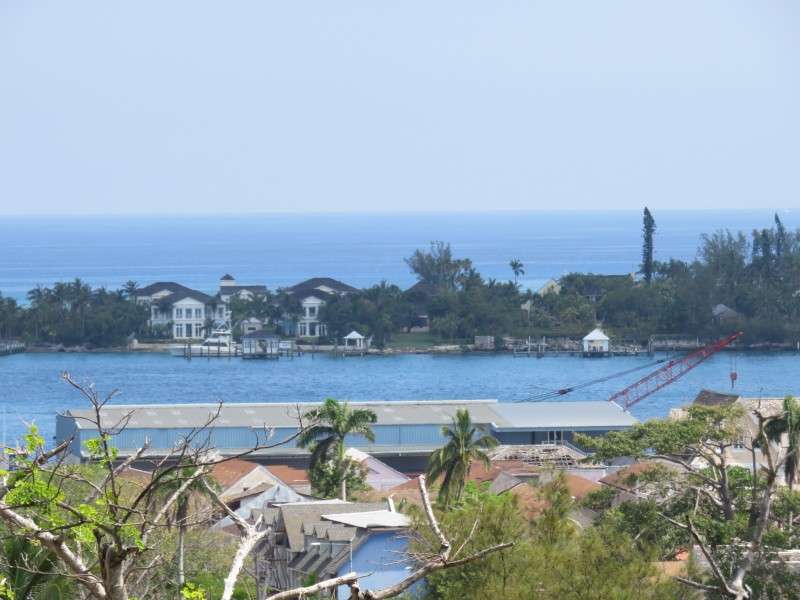
At the western end of Paradise Island is the Paradise Island Lighthouse, built in 1817. It is the oldest lighthouse in the Bahamas, and the oldest existing lighthouse in the West Indies.

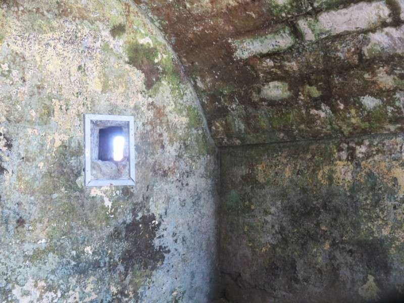
The rooms in the fort were few and small. This one had a little window to the outside, for whatever reason.
I was hoping to see another license plate in Nassau. While walking from the fort down to Downtown, I saw one - the only "out of state" plate on the entire trip. This car was brought from nearby Andros Island, to the west of New Providence and the Bahamas' biggest island.
I went back to the Crew Pub to see what it looked like during the day, and make sure I knew where it was for that night.
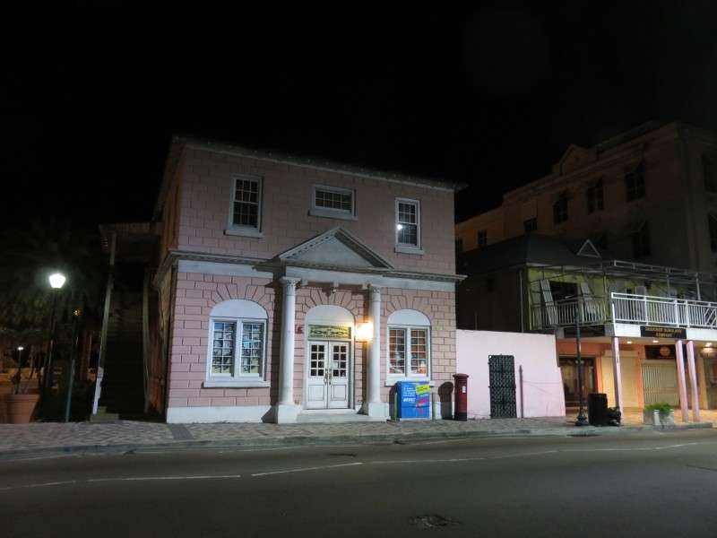
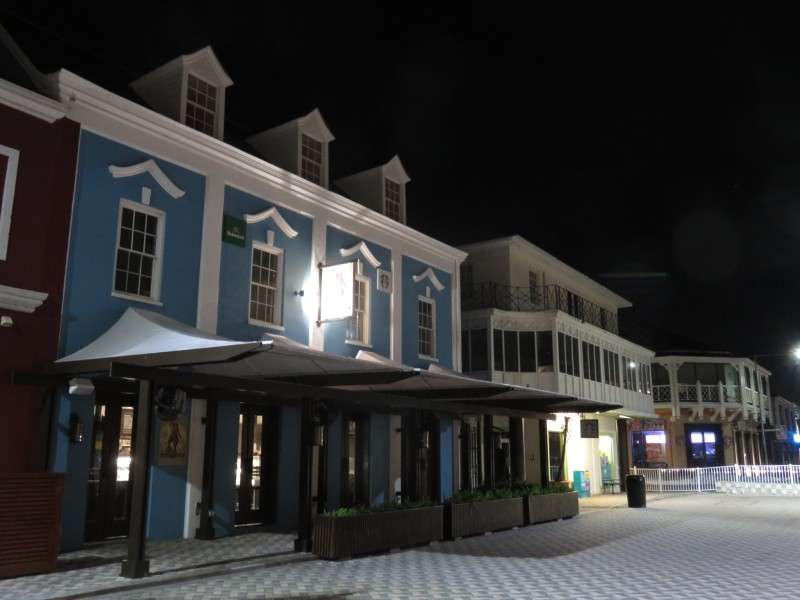
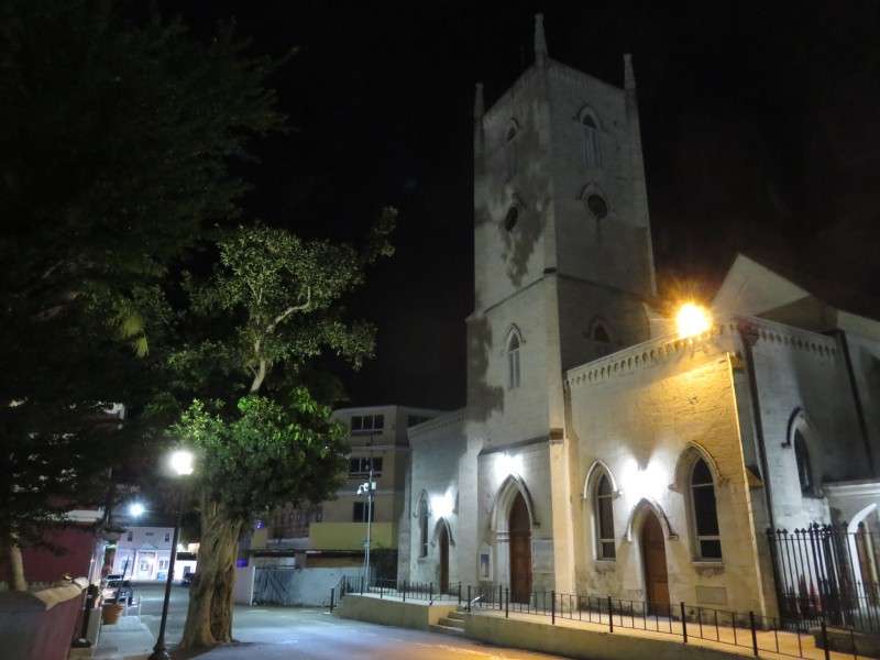
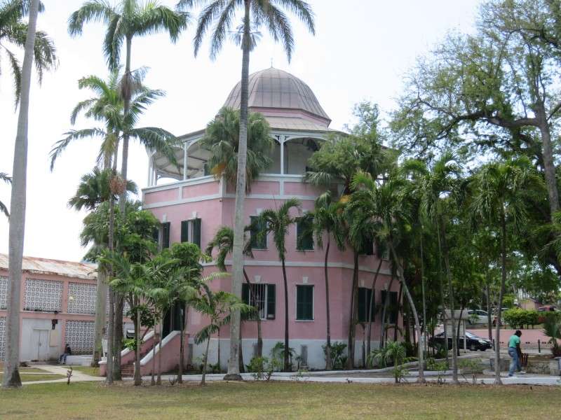
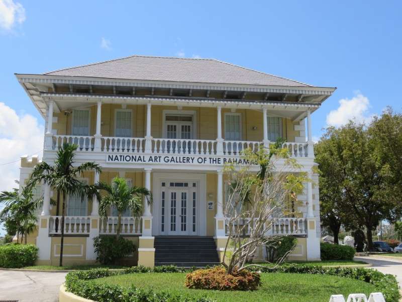
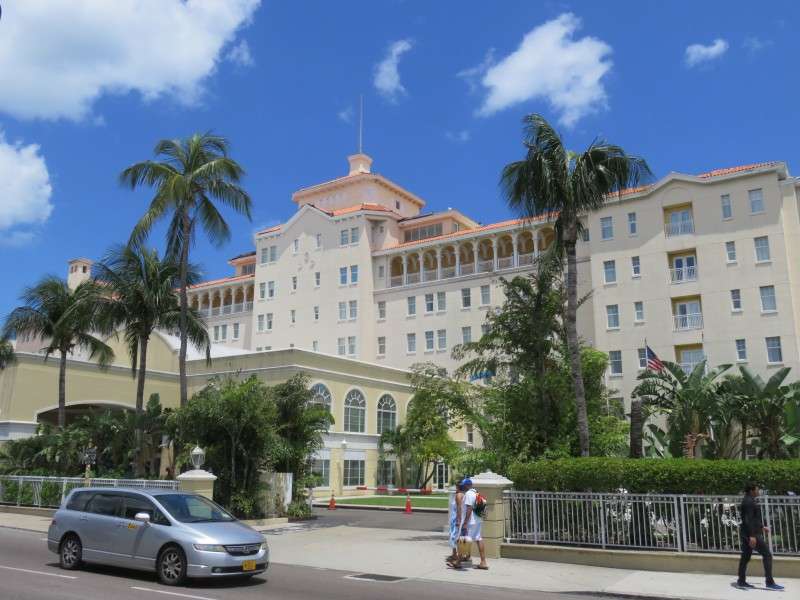
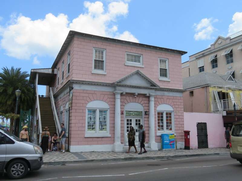
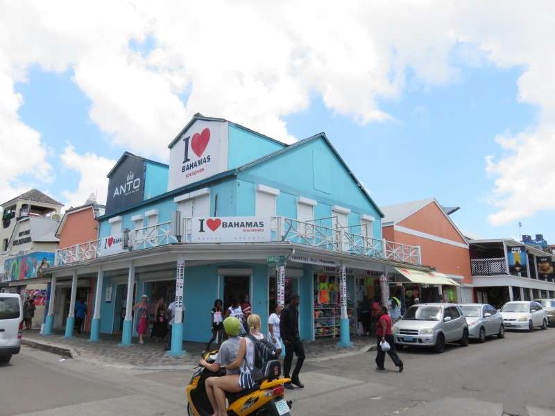
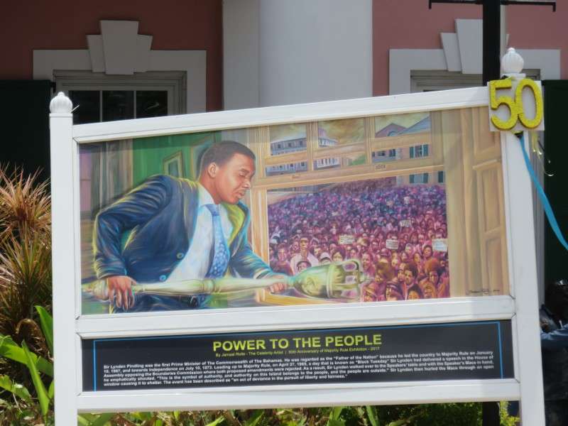
I wandered around Nassau and saw some of the notable buildings. These are out of sequence, but consider it a taste of a Downtown phototour thread I'll have some time in the future.
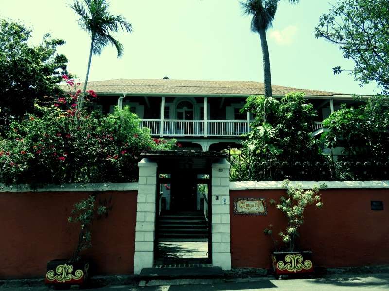
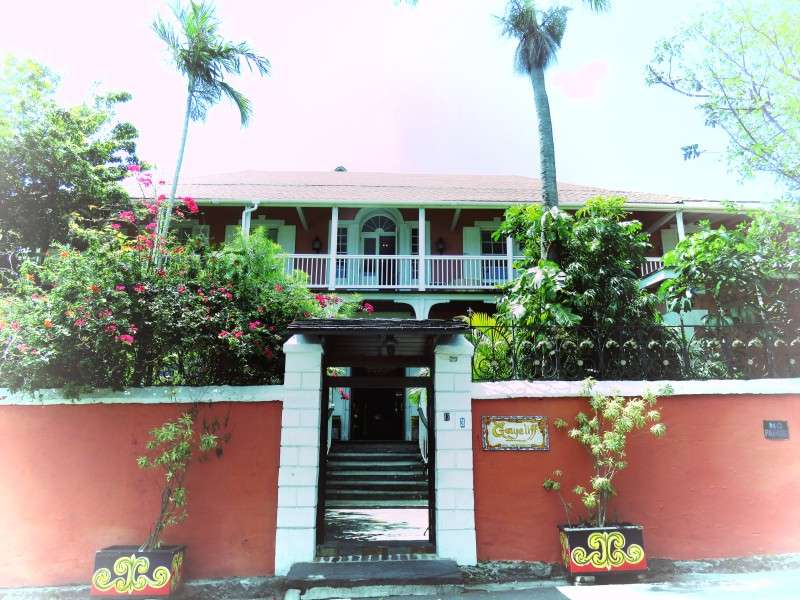
While getting a picture of the Graycliff Hotel, I accidentally set my camera to take a series of fancy pictures in different settings. Here's two of them.
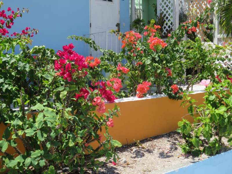
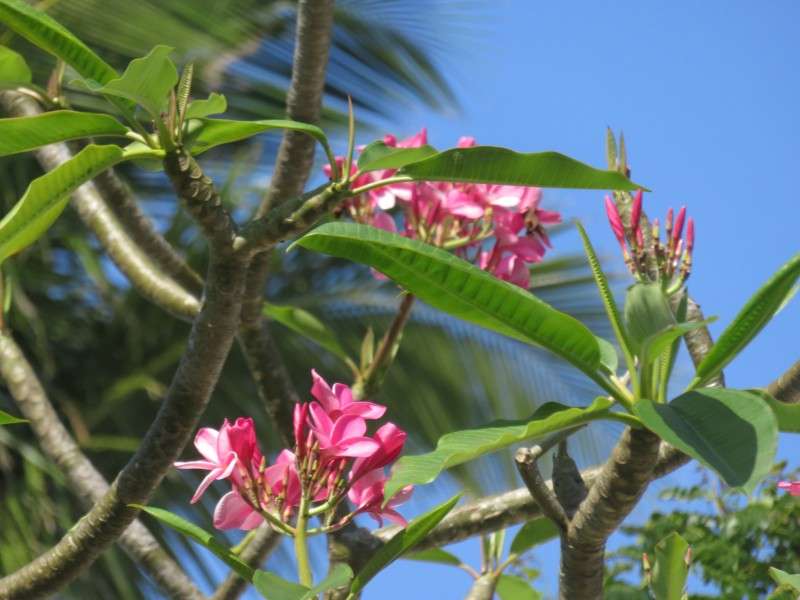
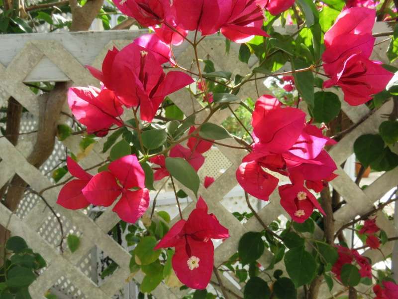
Flowers in the Bahamas are a little different than we have back home. They seemed more vibrant. Maybe it was the tropical setting.
While walking around, the Prime Minister of the Bahamas drove by. If the police escort and all weren't enough to figure that out, the "PM" on the license plate confirmed it.
Along Woodes Rodgers Walk, you can see disposed conch shells in the water.
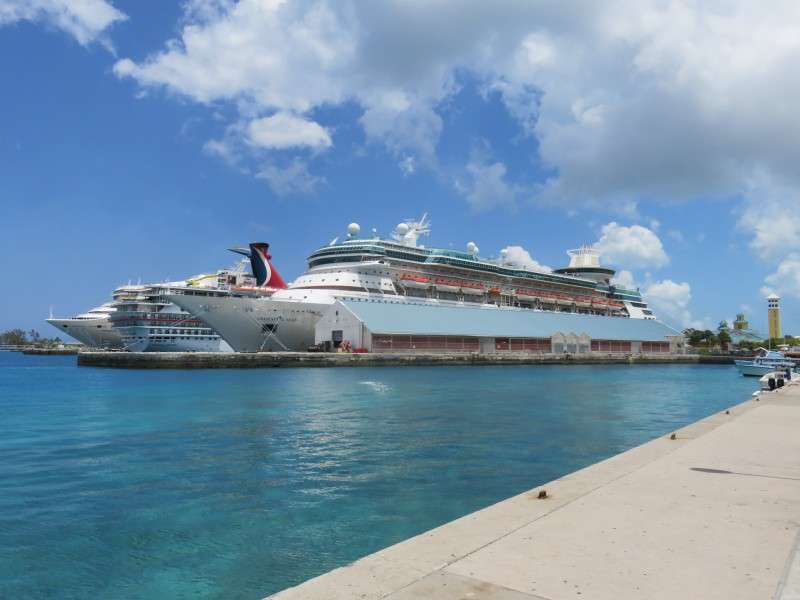
The cruise ship docks are on Woodes Rodgers Walk.
I ended up at Parliament again, and took a few pictures once more. The Bahamas was having an election in a couple weeks.

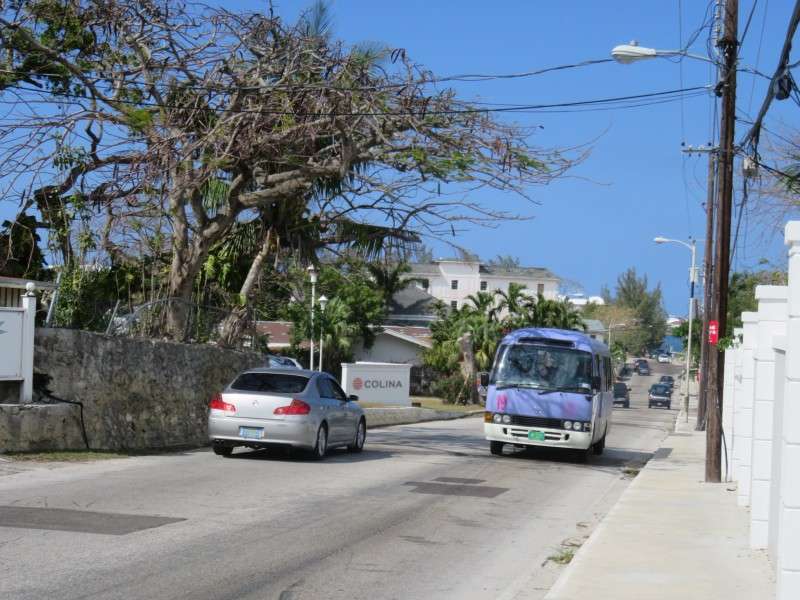
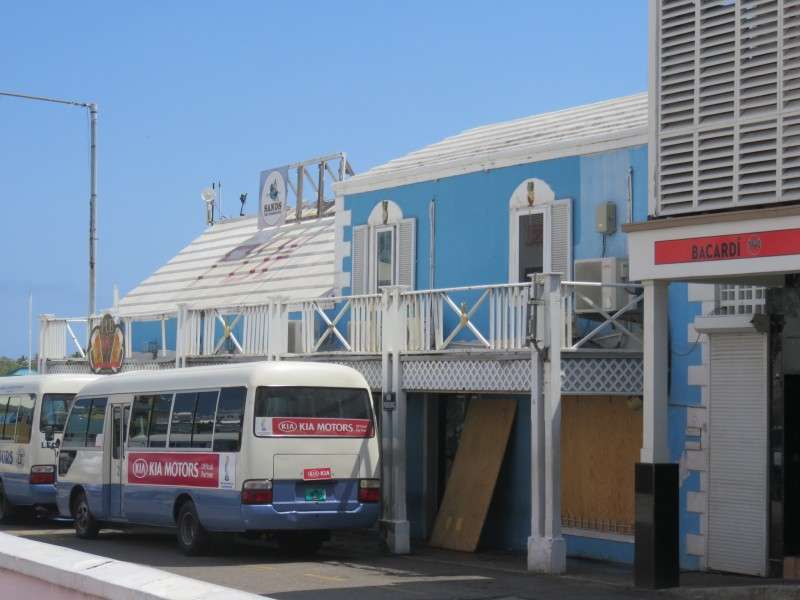
I took a jitney back to my hotel. Public transportation is shoddy, and the jitneys are the best they have. They are buses that seem to be run privately. Bus rides are $1, and sometimes you pay when you get on, and sometimes you pay when you get off. You just yell "Bus Stop!" when you want to get off. There are no maps of bus routes; locals have them memorized, I guess. I found a PDF online of roads that each bus line takes before I went down, though, so I had some idea of which ones to use. Anyway, this building was along the way.
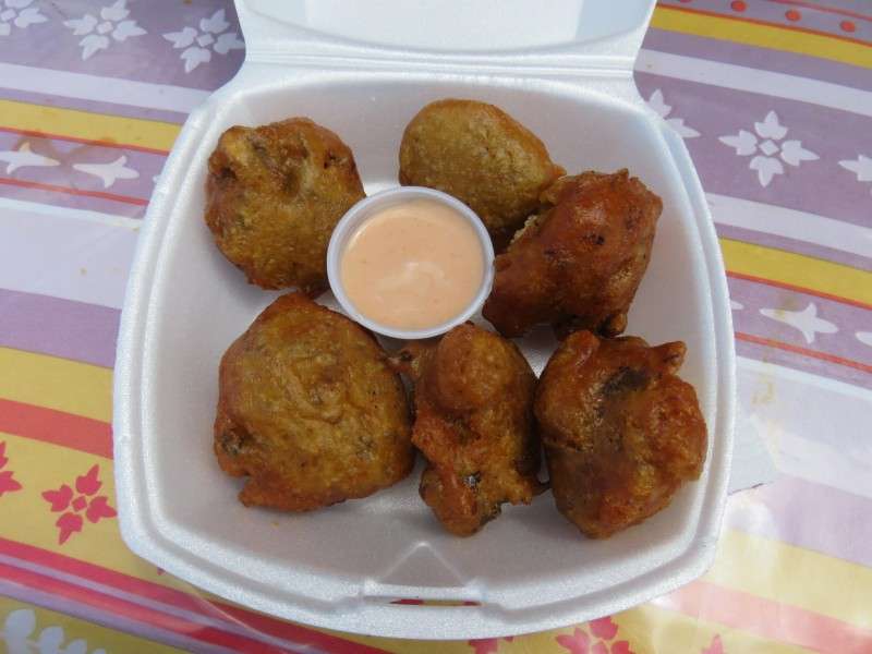
I had a late lunch of conch fritters at Montagu Beach at a roadside stand.
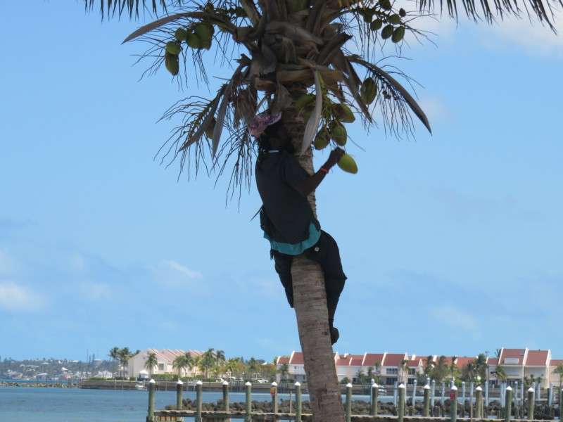
This guy was climbing a tree to get a coconut for some woman that wanted one.
Fort Montagu was open, marked by the flag flying overhead. I went to check it out, but found out that admission was $1, and I wasn't prepared. So I walked around outside.
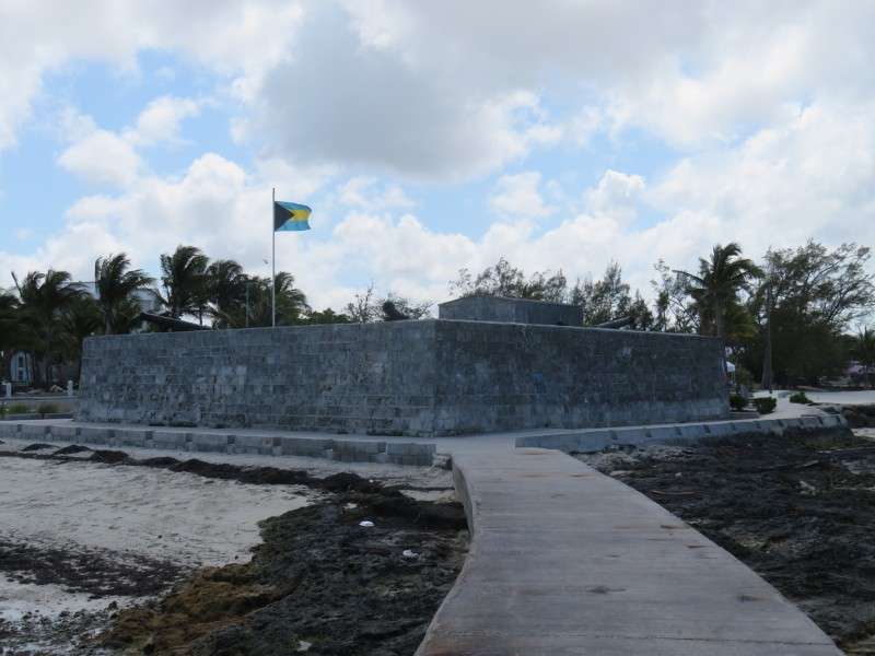
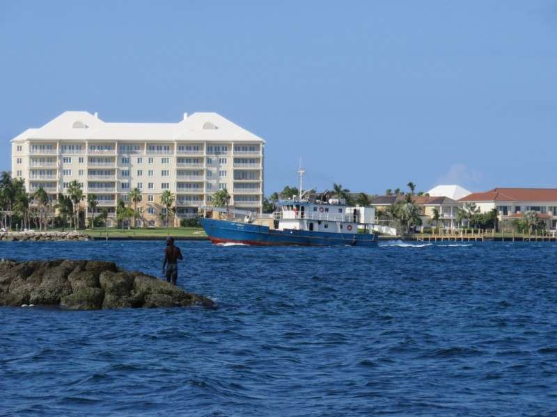
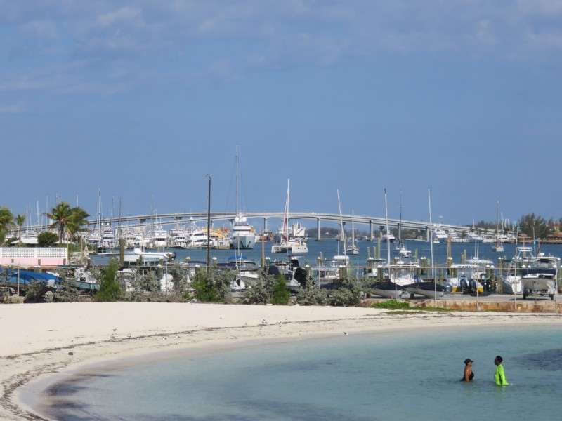
From a concrete walkway at the fort that juts into the water, I got some nice views of Paradise Island, the bay, and the northeastern end of New Providence Island.

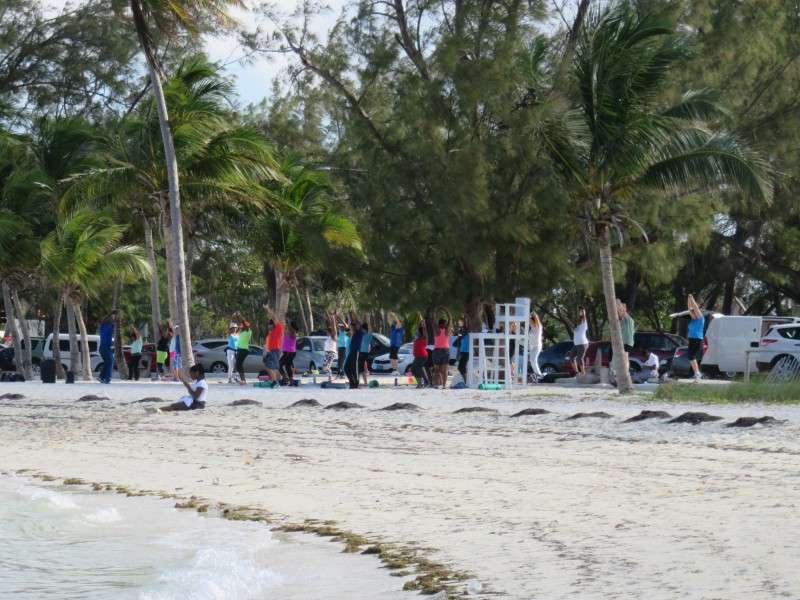
I walked back to my stuff, and saw a zumba instructor giving a class to locals, and maybe a few tourists.
This picture sums up life in the Bahamas fairly well, if I say so myself.
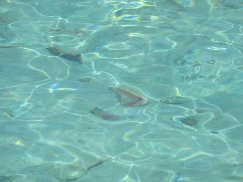
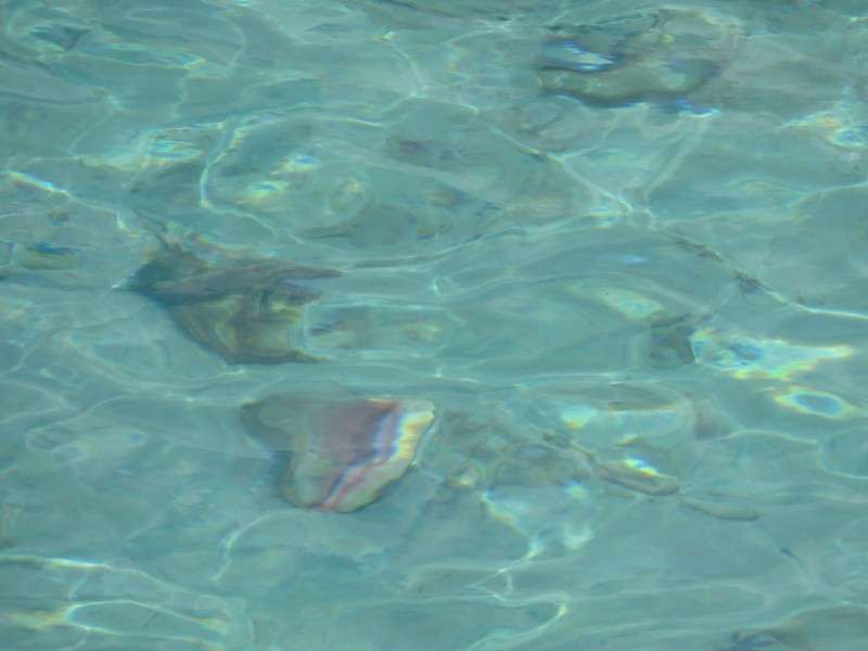
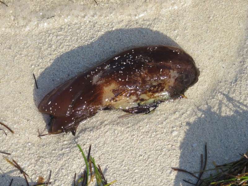
I saw this thing washed up on the beach. What is it? Maybe a conch without a shell?
I walked around the park a little more.
At the south end of the park, the fish market was bustling. Earlier, I had bought a conch shell for $5. I was disappointed to see conch shells piled up, and I could've taken hundreds of them for free.
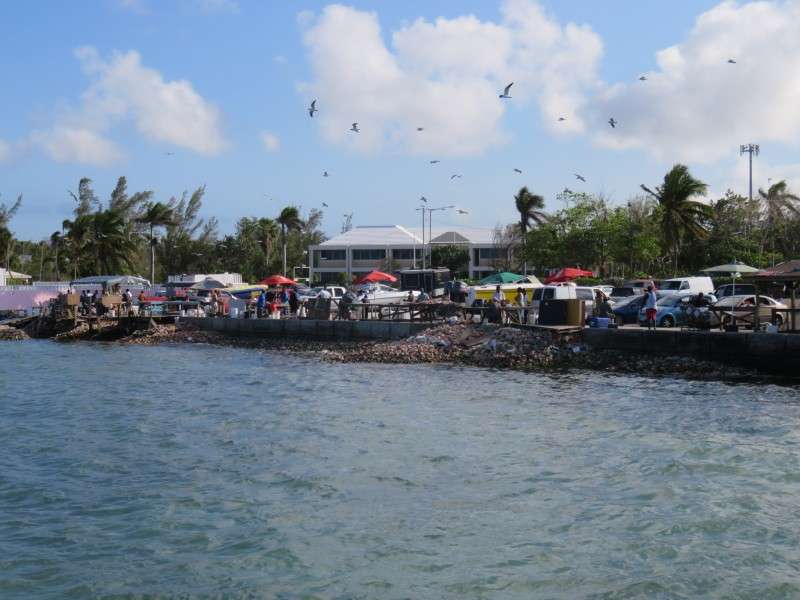
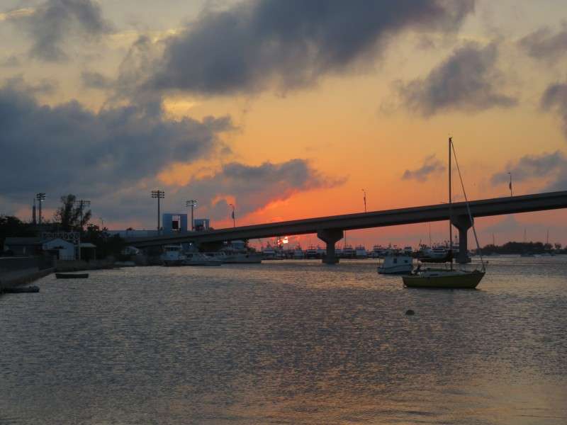
After relaxing for an hour at my hotel, I set out again for Downtown on foot. I caught a Bahamian sunset at Potter's Cay after getting some conch salad for dinner.
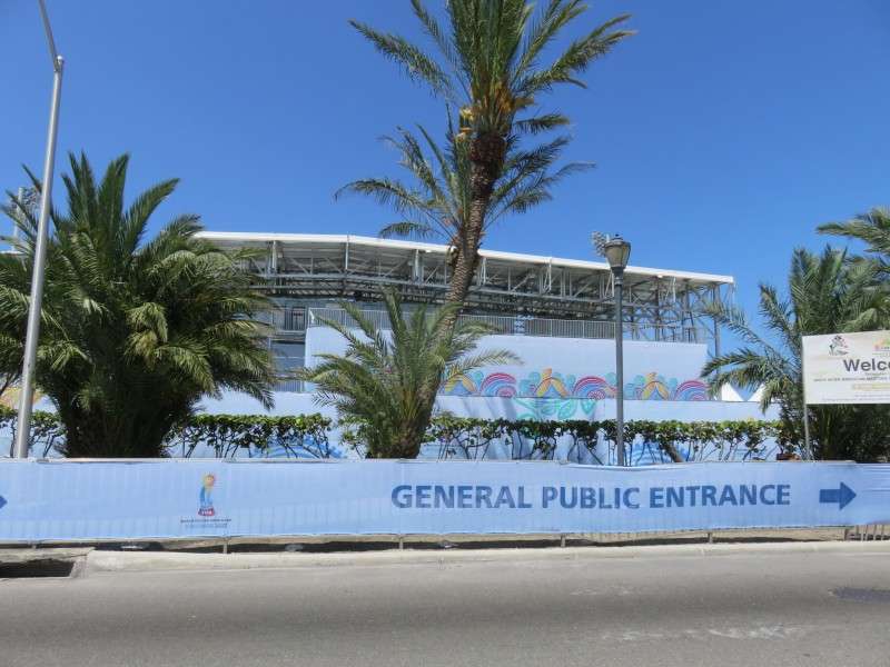
I stopped by the beach soccer stadium to watch some teams practice.
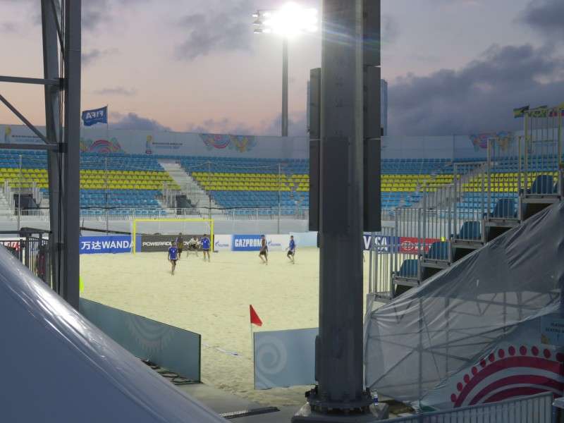
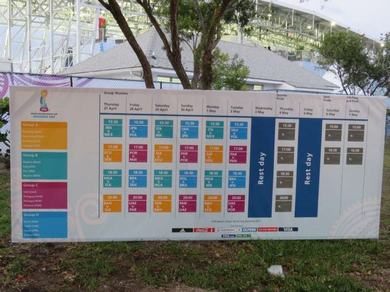
Here was the schedule for the tournament.
I went to Pirate Republic Brewery, the Bahamas' only craft brewery. The beer was good, although the selection was a little small. But the staff was very generous, and I had some good conversations there. I also bought a six-pack to bring back to Delaware with me.

After stopping by the Crew Pub to talk with some newfound friends, I went back to my hotel. Here's my little hut at night.
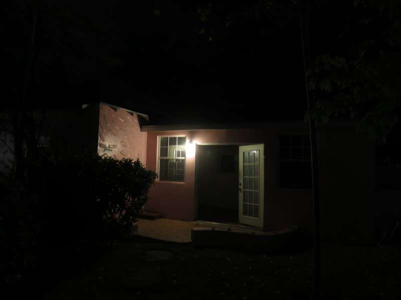
And here's what my hut looked like the next morning.

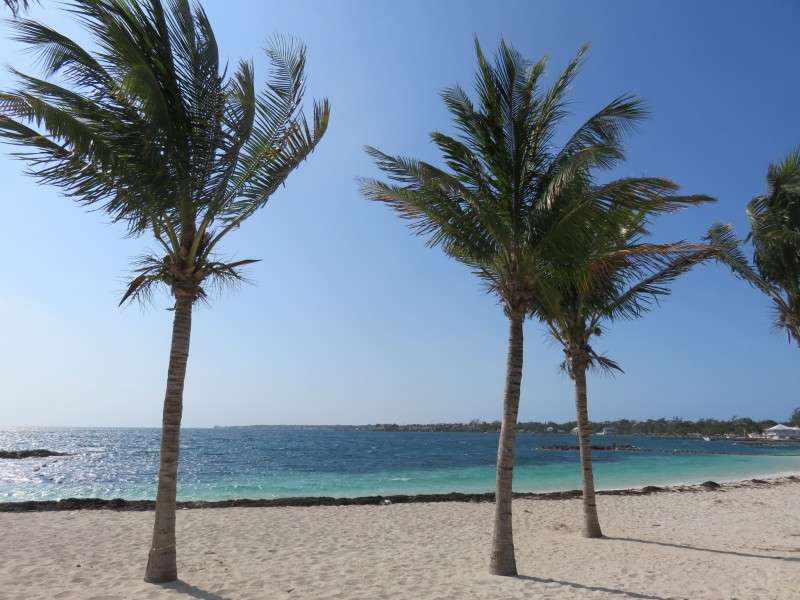
My flight was in the early afternoon, so I had some time to go to the beach for a couple hours.
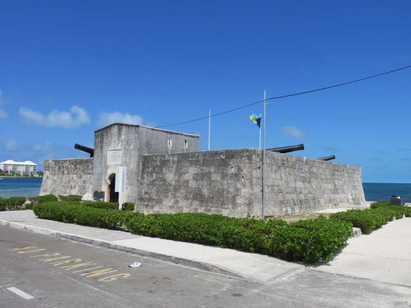
Fort Montagu was open again.

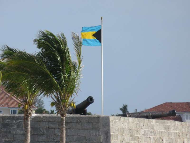
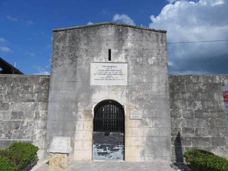
I went into the fort this time, remembering to bring a dollar.
The views were pretty good, even if I wasn't up that high. This was my best view of the bridges to and from Paradise Island.
I zoomed in on Atlantis.
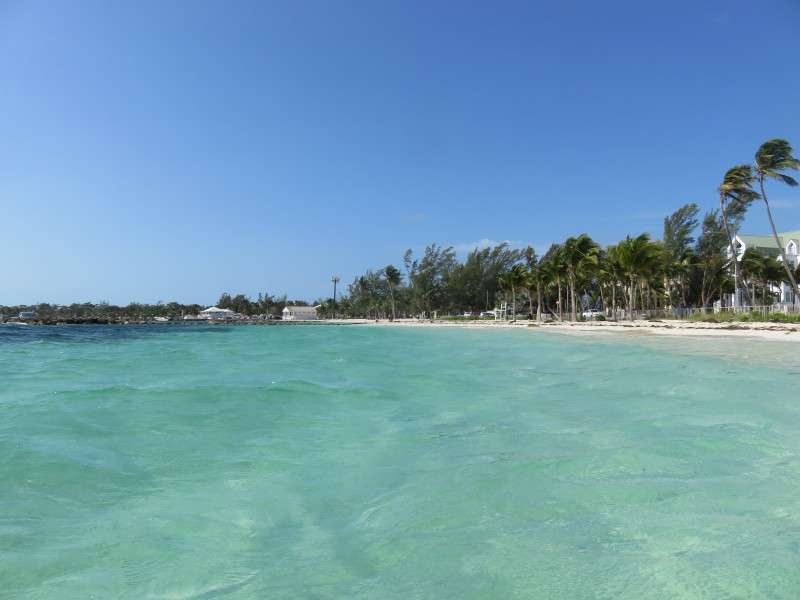
Then I went to the other side and got a picture of Montagu Beach.
The fort was very small inside. It was about the size of a postwar house.
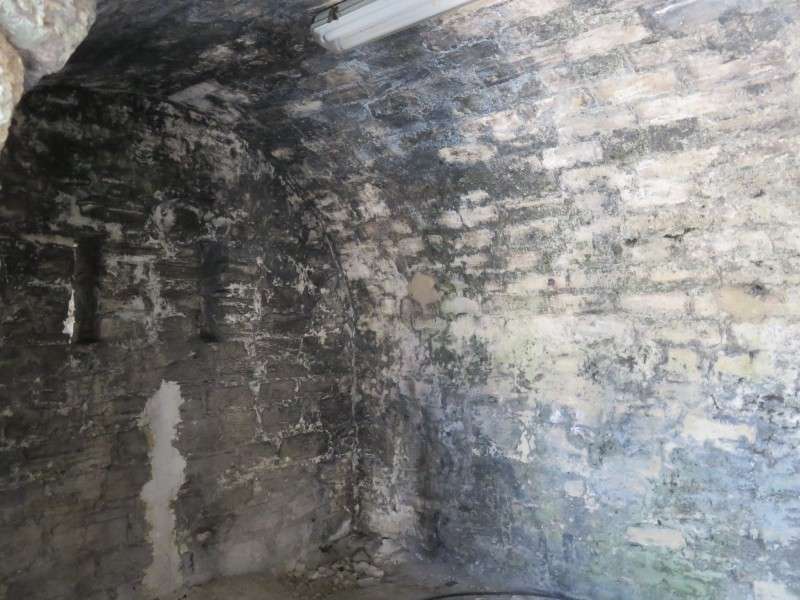
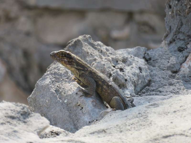
This little guy was hanging out on the top of one of the walls. His body was about the size of my hand.

I got a few more pictures of the beach before heading back to my hotel to pack.
There were no dunes at this beach, but this flower was on the edge of the beach, where it met the sidewalk. I think I may have seen a similar flower in the dunes here in Delaware, or in the sand dunes on Lake Erie in Ontario.

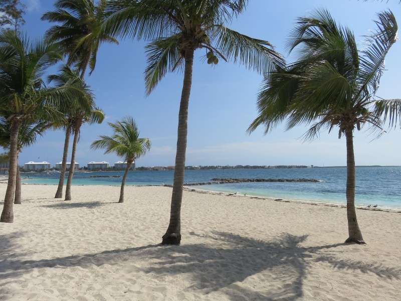
Goodbye, beach!
These license plates were interesting. Are they government plates?
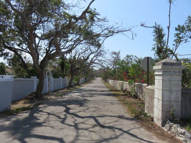
Here's a typical side residential road in the Bahamas.
This was a typical building on Village Road.

I got a picture of the huts at my hotel, to show off the layout of the place.
This was the setting at the hotel. While the hotel itself was a dump, the trees and flowers were great to look at!

It was then off to the airport. Here's what Nassau looks like inland.

Some of the Bahamas' hills are best noticed when they're cut away to create more open land.
Traffic circles/roundabouts are common for some major intersections inland on New Providence, foregoing traffic lights with left-hand turns and the like.
Past Lake Cunningham again.
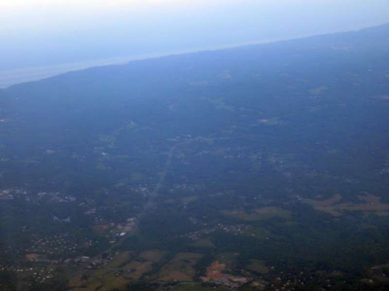
The interior of New Providence Island looks kind of like parts of coastal Virginia or North Carolina.
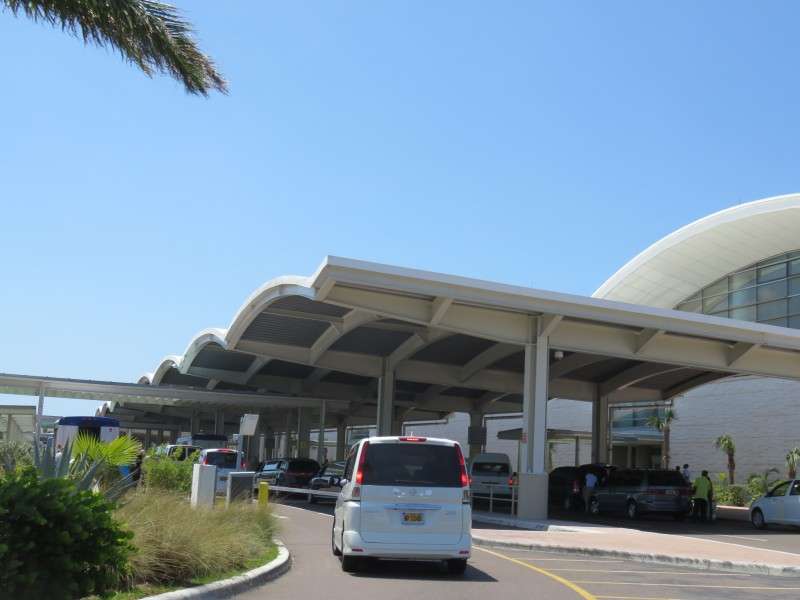
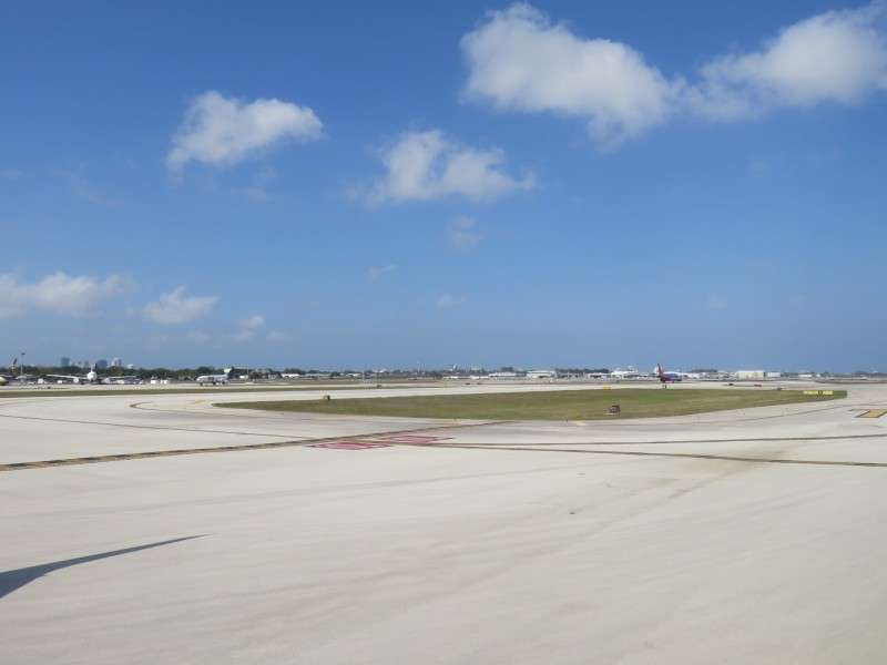
I took some pictures from around the airport.

I haven't seen this in about 15 years. People on this flight had to get off onto the tarmac and then go into the airport. I had to do that once on a propellor flight from Baltimore to Buffalo back in 2001 or so.

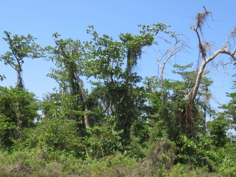
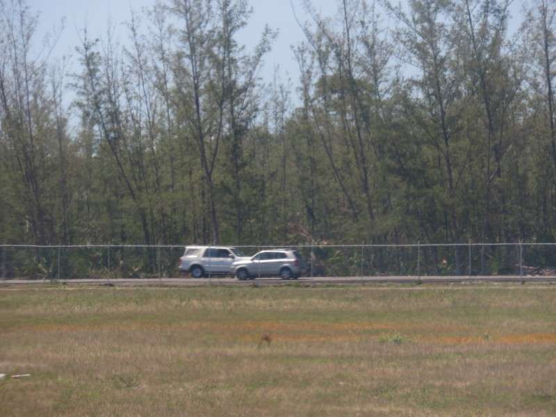
We had to wait to use the runway, so I spent some time taking pictures of the airport, of the roads around the airport and their left-hand side driving, and the underbrush in their woodlands.

After 30 minutes sitting around, we were on our way. We circled around New Providence Island. First, I got some pictures of Adelaide Village.

Then I saw Coral Harbour.
Then we headed west, which gave me perfect views of the island.
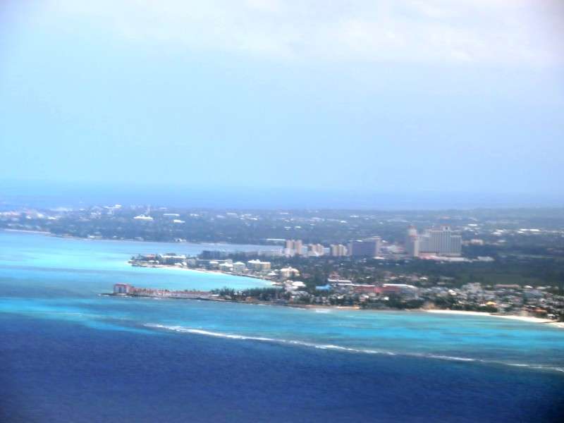
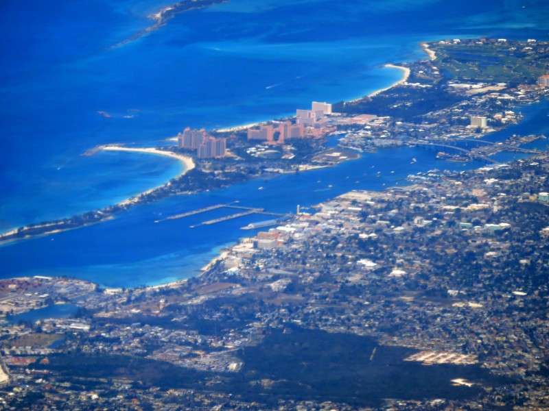
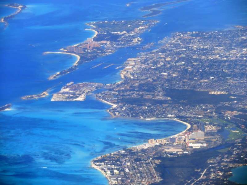
I zoomed in on the Cable Beach skyline.
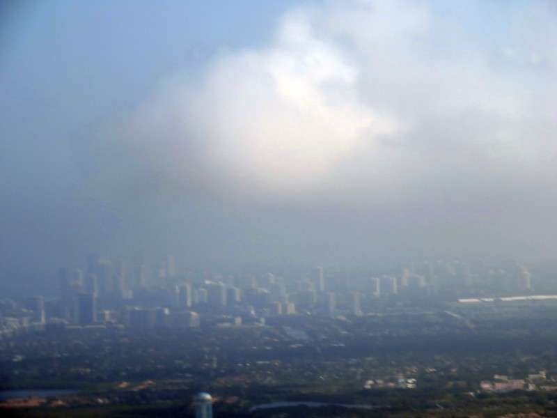
A little more circling, and the entire north shore of the island was in perfect view, with Downtown right in the middle.
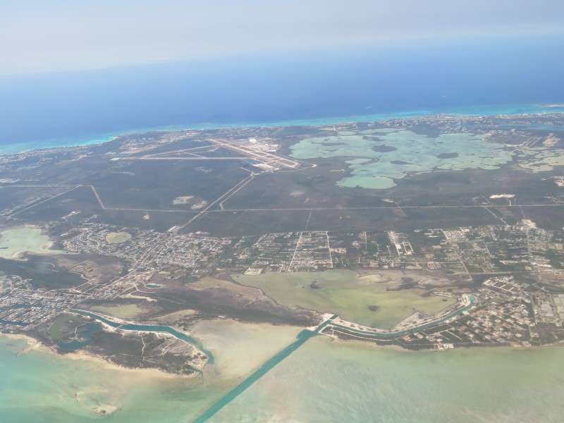
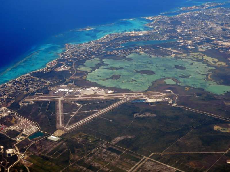
Here's what the airport looks like from above.
I zoomed in on the corner of New Providence where Montagu Beach is.
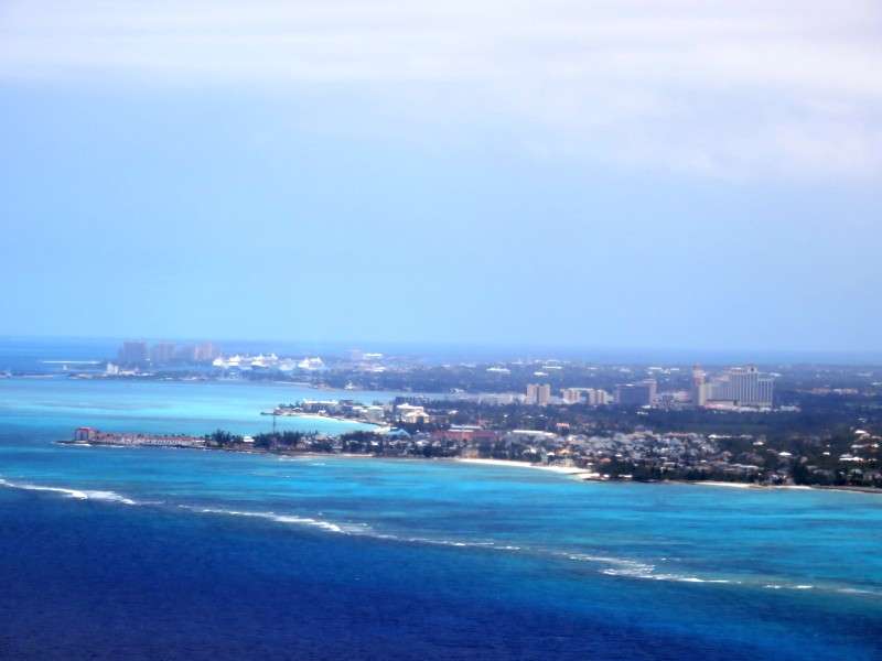
I took a lot more pictures of Nassau's Downtown and highrise areas, hoping a few of them would be good.
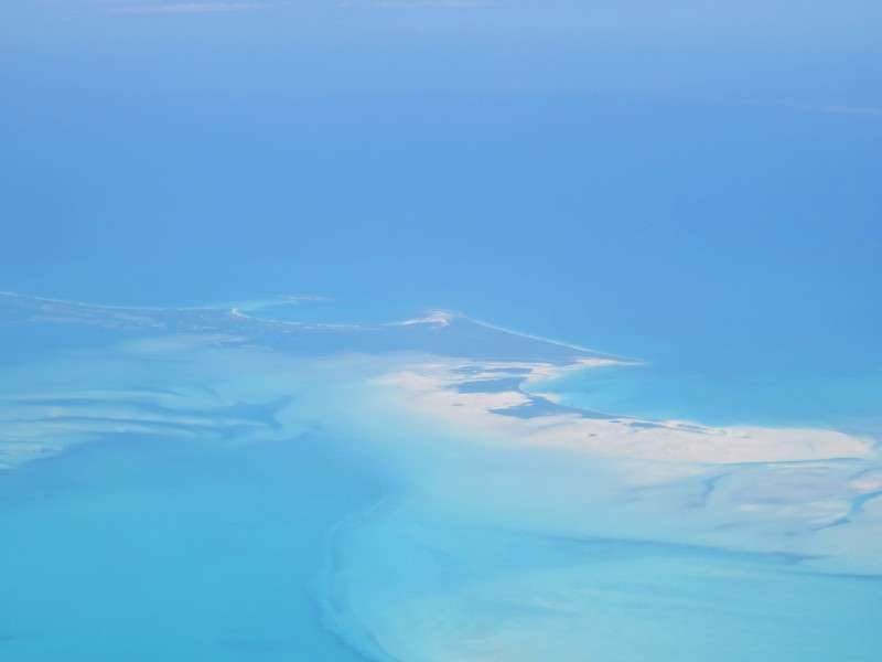
I saw Whale Cay again, like on the flight out. This was one of the Berry Islands.
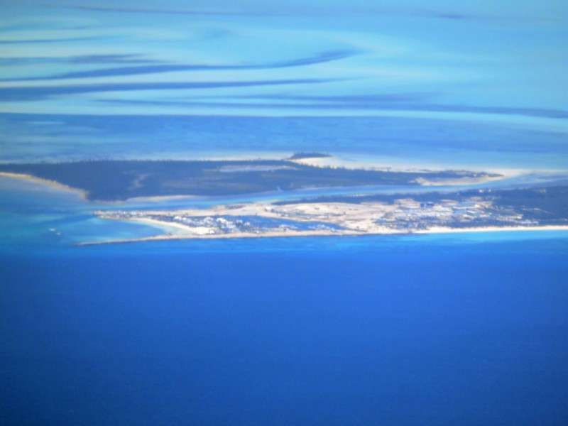
Then it was Chub Cay, another Berry Island.
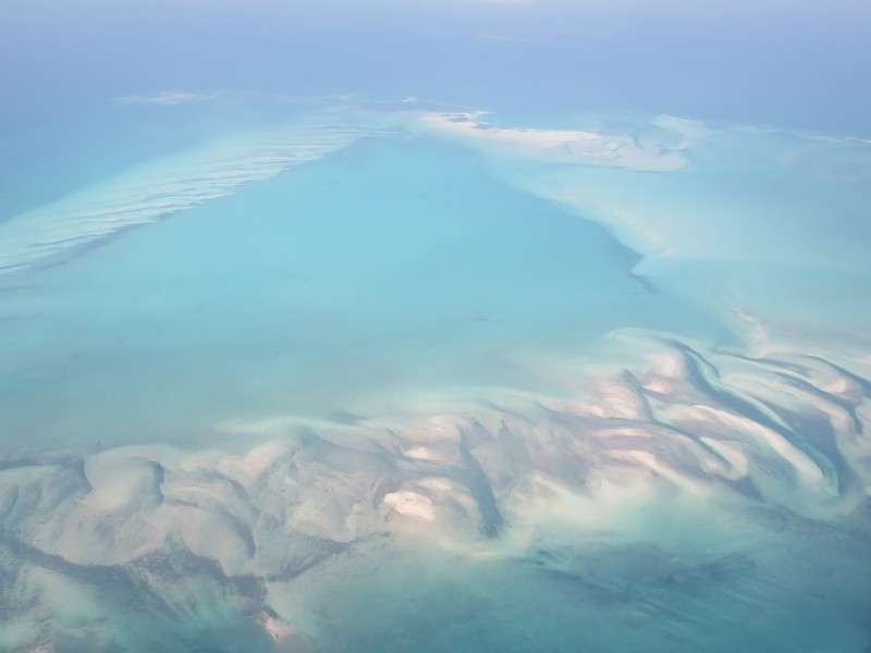
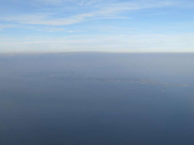
Then it was Great Harbour Cay, the most-populated of the Berry Islands.
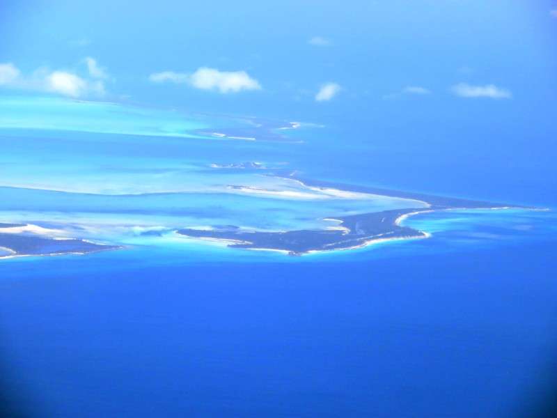
The Berry Islands laid out nicely as we finished going past.
Then it was over the great blue sea for a little while.
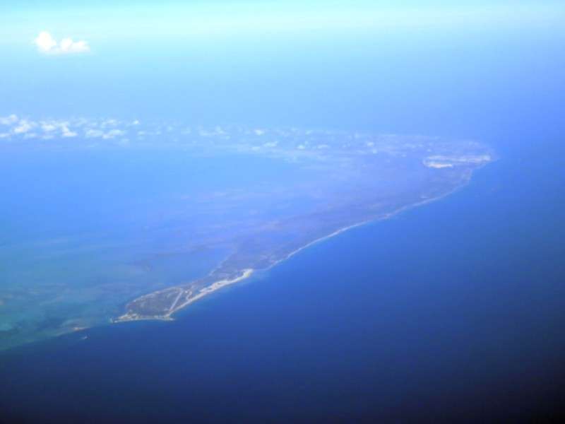
We flew over Bimini. This was my last view of the Bahamas on this flight. The Bimini Islands are only about 50 miles from Florida.
Then we were over the deep ocean. I wasn't sure if these were whitecaps or garbage at the time.
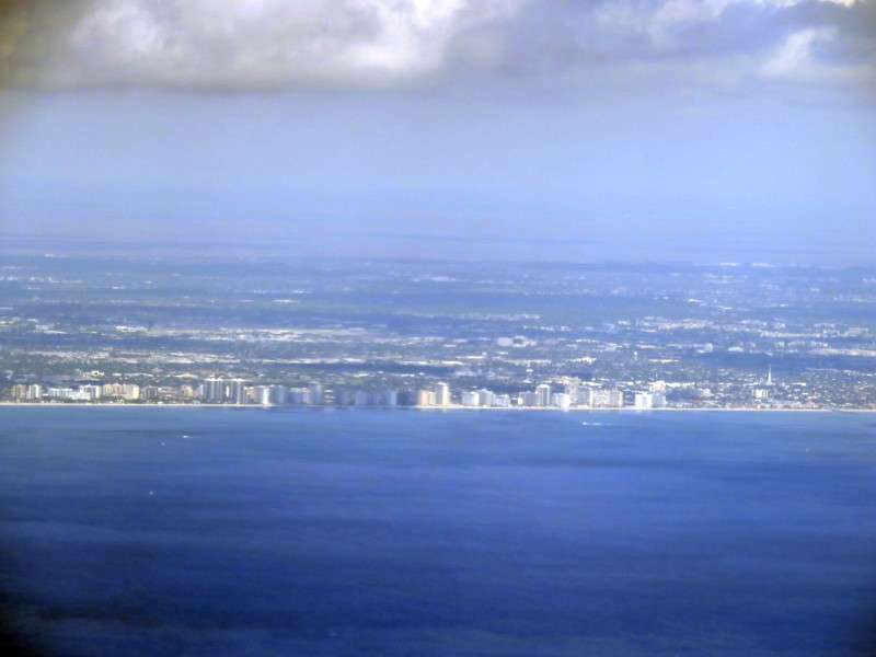
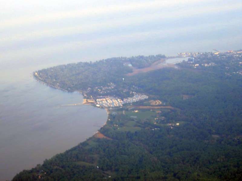
We were back over the US. This is Lauderdale-By-The-Sea.

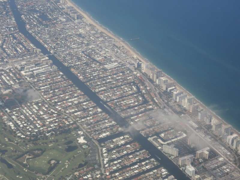
This is Lauderdale Lakes.
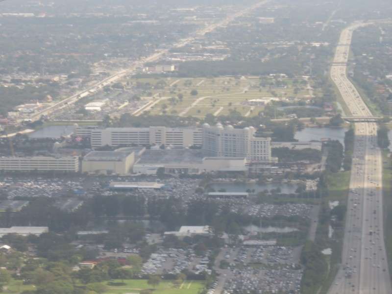
Here's the BB&T Center in Sunrise again. The Florida Panthers of the NHL play here. I always found it strange that a professional sports team plays literally on the edge of the metro area, and that the arena is literally across the street (highway) from the Everglades.

We flew over Davie.
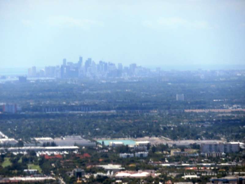
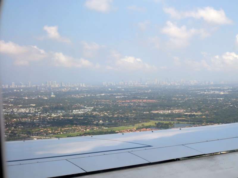
I got a couple pictures of the Miami skyline with the afternoon sun.
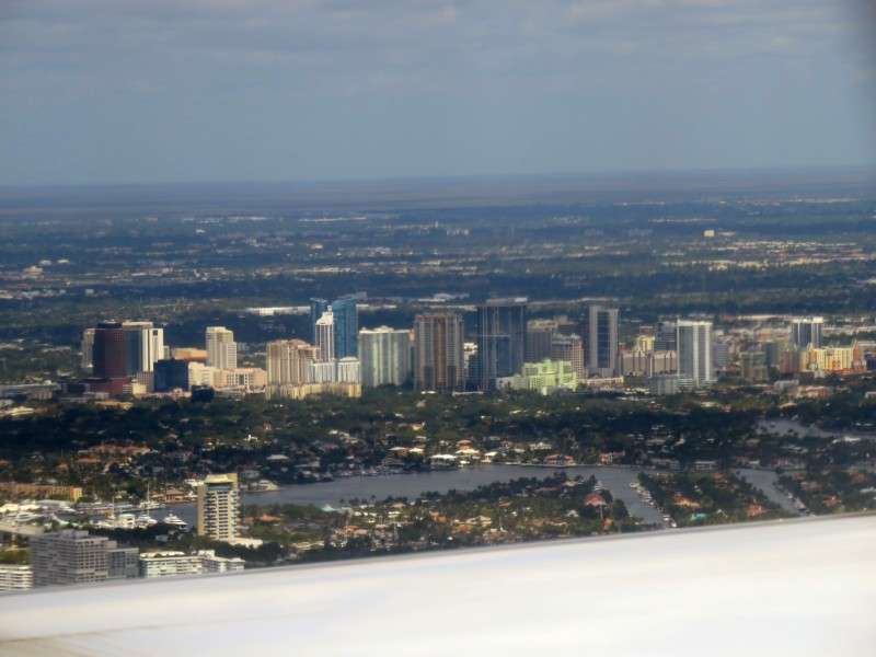
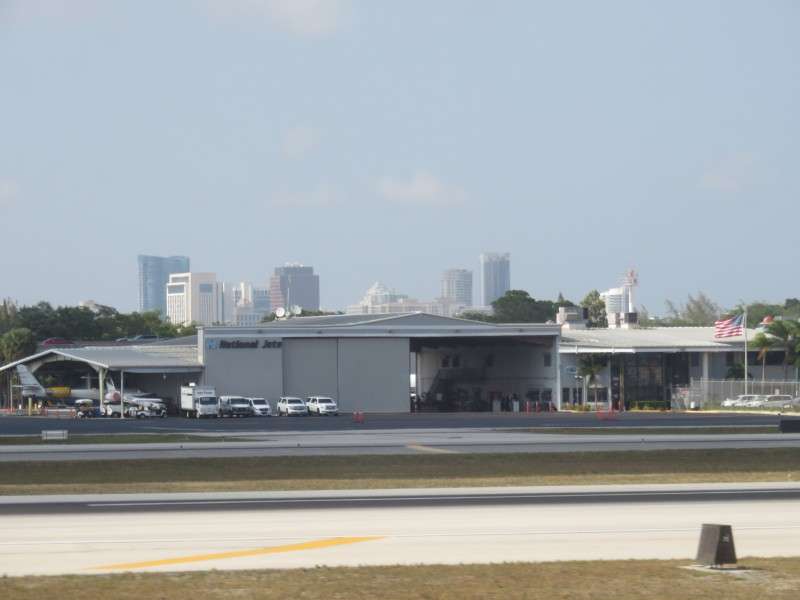
After a very quick layover, we got ready to go again. I took a bunch of pictures of Fort Lauderdale's Downtown.
We turned to prepare for takeoff.
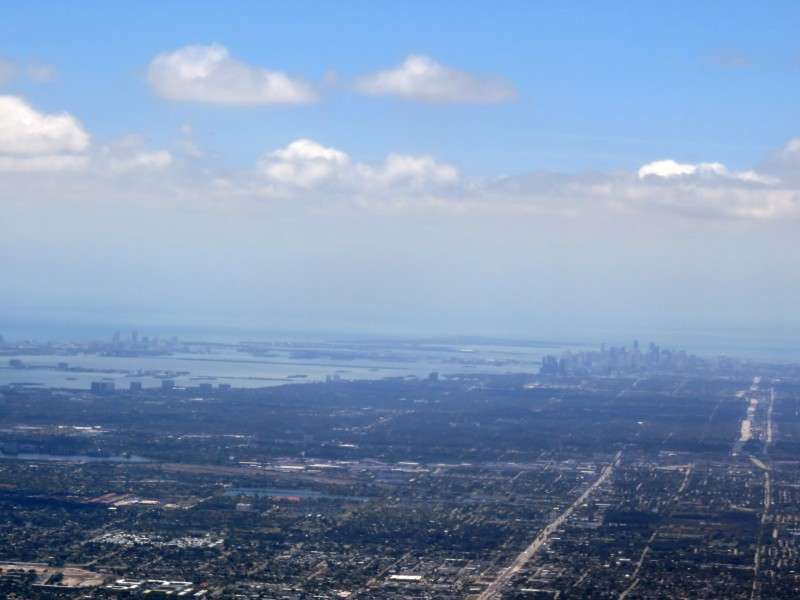
I got some pictures of Miami's skyline, and the south Florida coast.
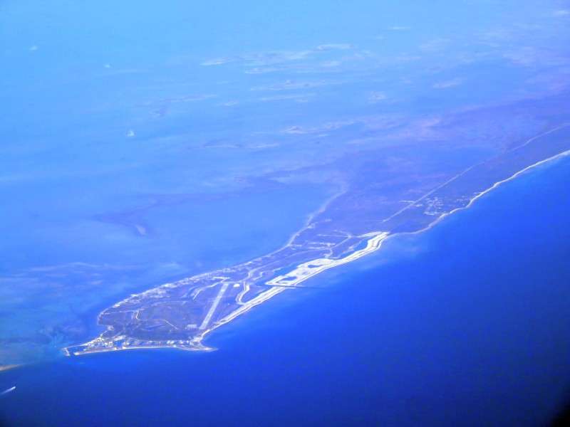
I got a real treat when the plane was far enough offshore that I got a nice view of Grand Bahama Island, with Freeport.

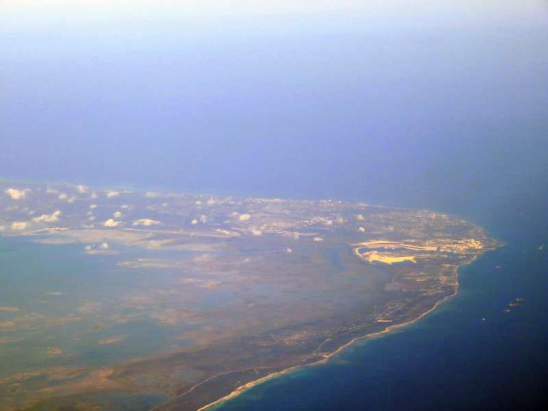
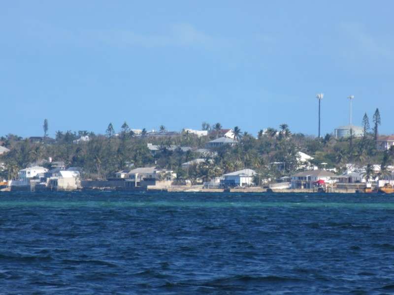
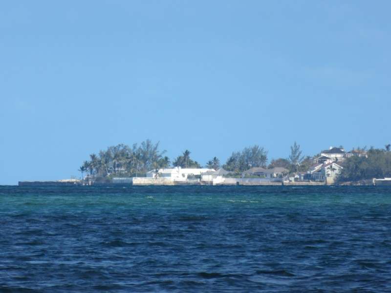
One of the townships on Grand Bahama is West End.
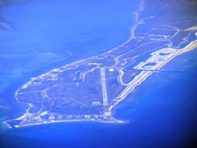
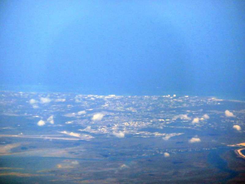
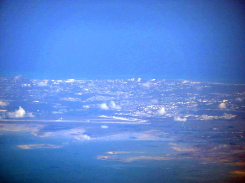
Here's a few pictures of much of the island.
But after we passed Grand Bahama, it was the ocean for an hour.
I took a nap and woke up over US Route 64, which is the main road in North Carolina to the Outer Banks.
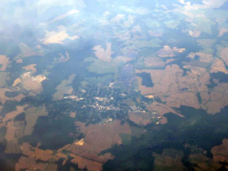
Soon after, we passed Scotland Neck, North Carolina.
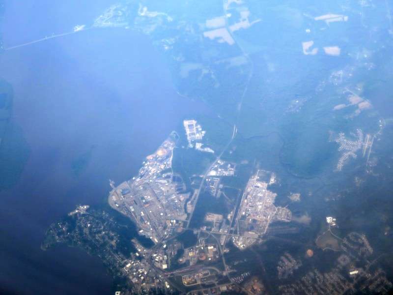
We flew over Hopewell, Virginia,
which I had done a photothread of a couple years ago.
I was sitting on the wrong side of the plane to see Richmond. But I did see I-64 right near its intersection with I-295.
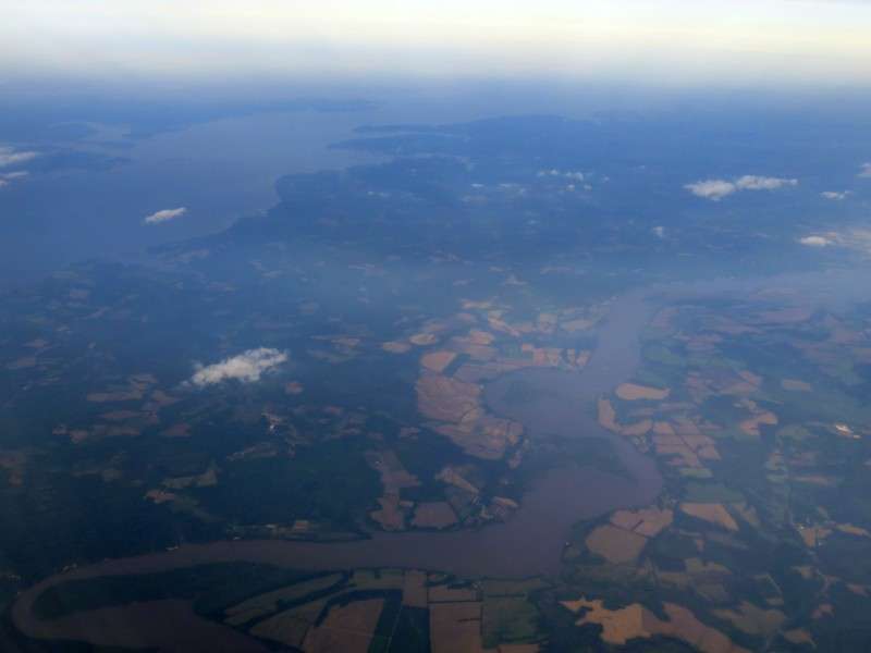
As you may know, Virginia has a lot of "necks", which are long peninsulas surrounded by rivers on each side. In Virginia, the end of the neck is the Chesapeake Bay. I got one decent picture of the northernmost of Virginia's necks, with the Potomac and Rappahannock on either side.
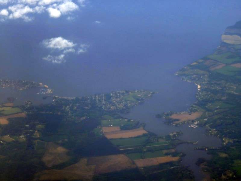
We flew past Colonial Beach, Virginia, a beach town on the Potomac River.
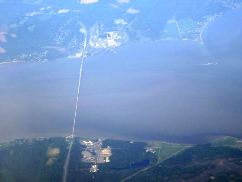
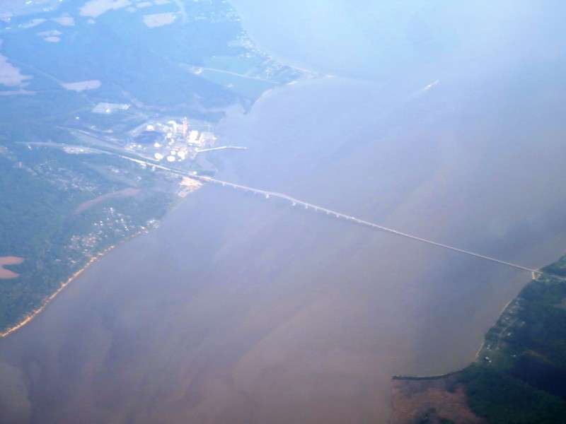
Near Colonial Beach is the Harry W. Nice Memorial Bridge, which carries US 301 between Maryland and Virginia. The bridge opened in 1940.
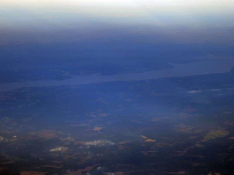
I started to see the Chesapeake Bay when we were over southern Maryland.
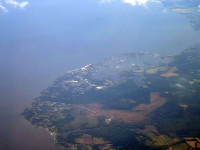
We flew past Chesapeake Beach and North Beach, two Chesapeake Bay beach towns from the early 1900s that are now bedroom communities for DC workers.
We passed the manmade Poplar Island in the Chesapeake Bay.
This looked wierd. You could see a layer of hazy, or even dirty, air at a certain altitude.
As we started to turn westward to get ready to land, I saw the Bay Bridge.
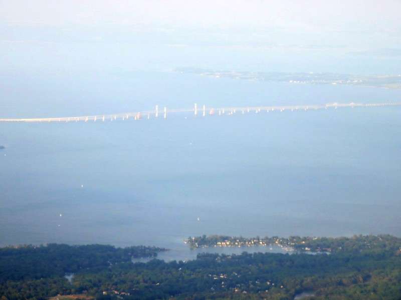
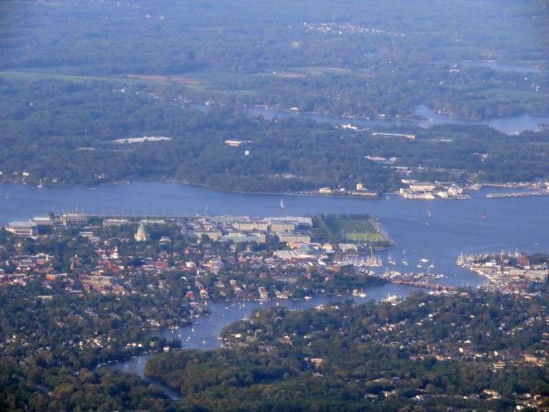
We flew past Annapolis. I had gone past it a couple times before, but never had a chance to get some good pictures. The white building with the turquoise dome is the chapel for the US Naval Academy. The white dome with the steeple on top is the Maryland State House.
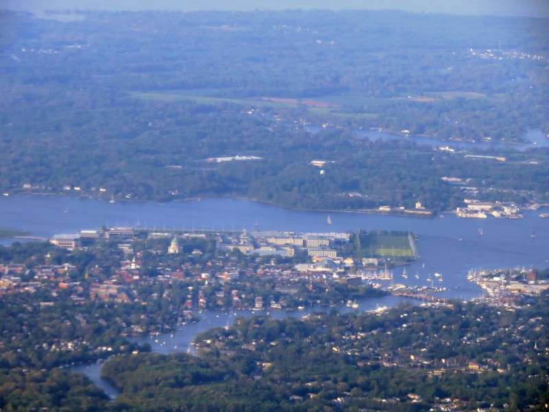
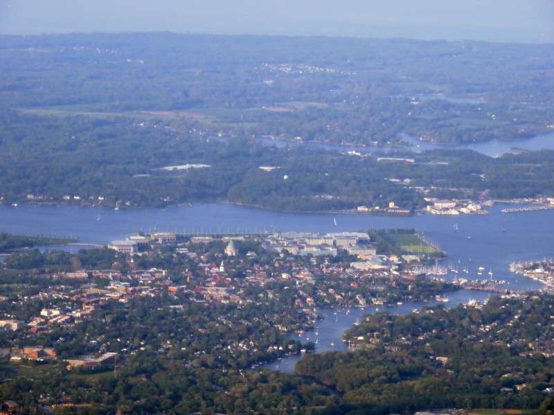

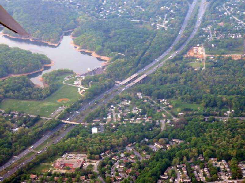
We continued west after Annapolis.
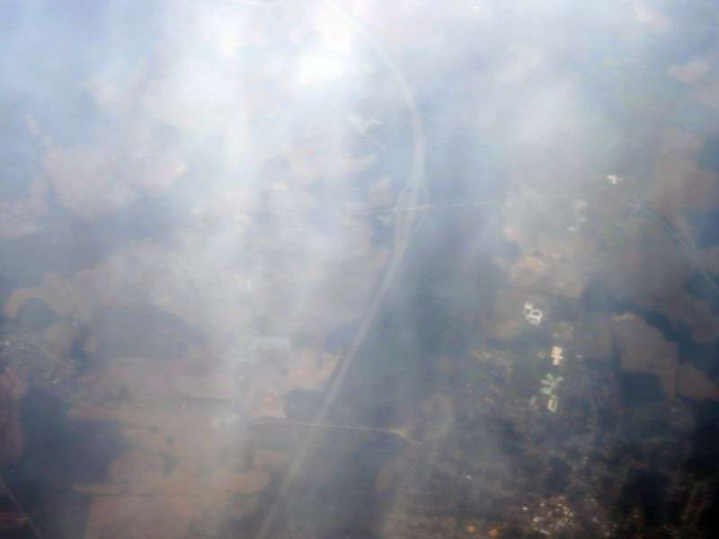
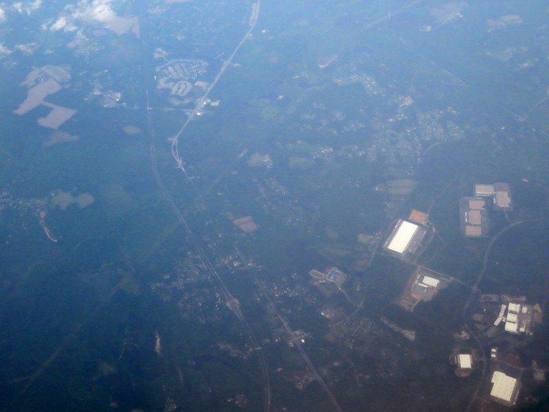
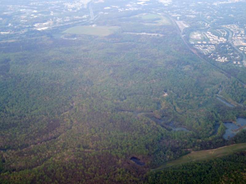
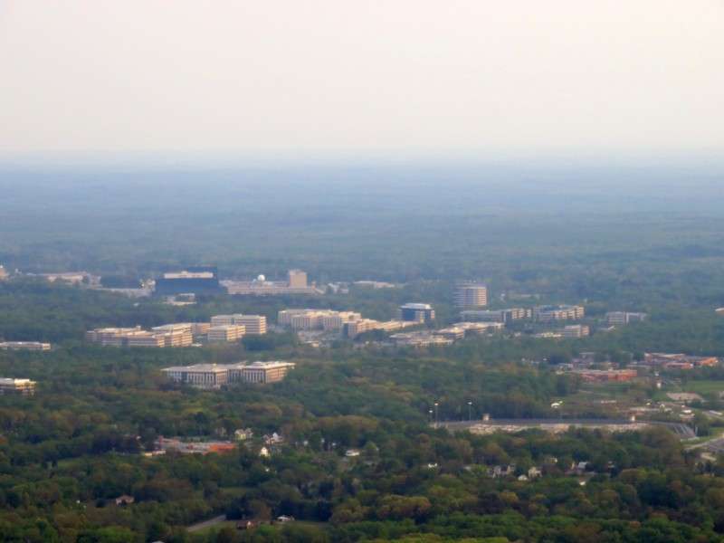
Some places in the Baltimore/Washington area, like the Patuxent River valley, are still undeveloped.
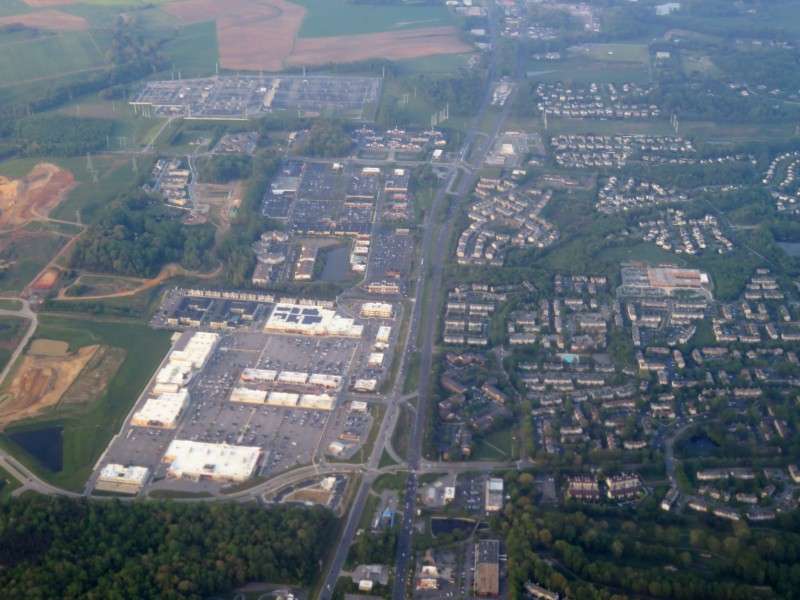
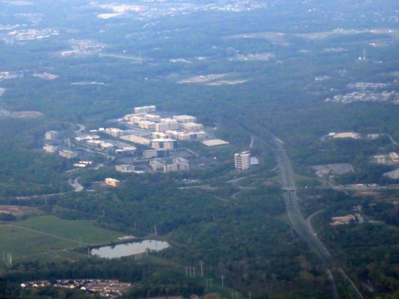
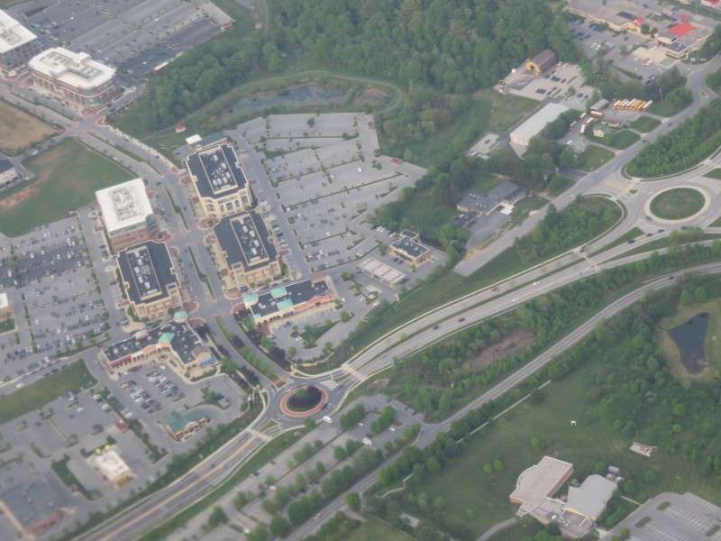
This was the skyline of Annapolis Junction, an edge city at the corner of expressways MD 295 (Baltimore-Washington Parkway) and MD 32.
We circled around and went past Laurel, Fulton, Guilford, and Jessop, before landing.
So what are the Bahamas like? Here's some things from my trip to show the differences between the Bahamas and the US or Canada.
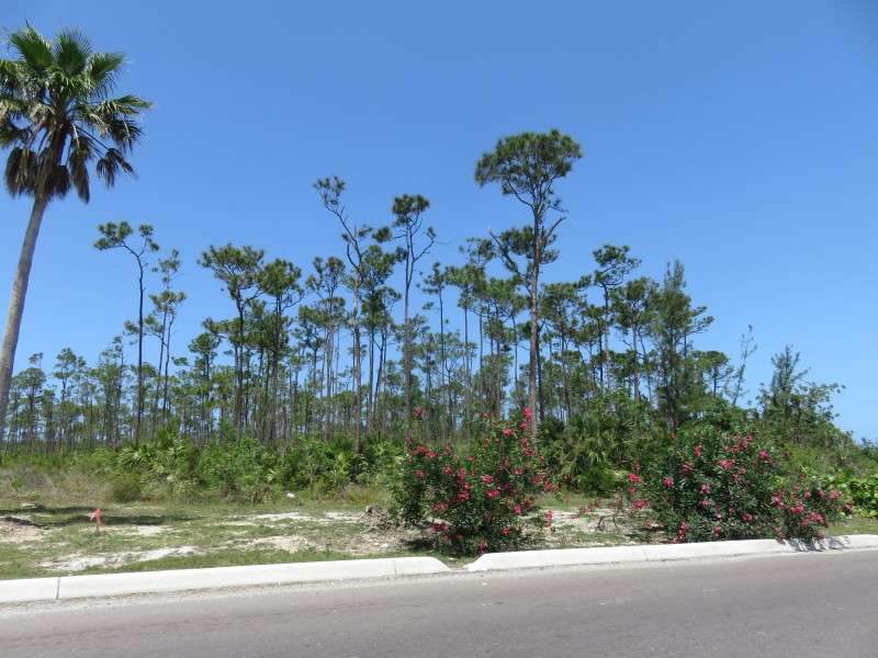
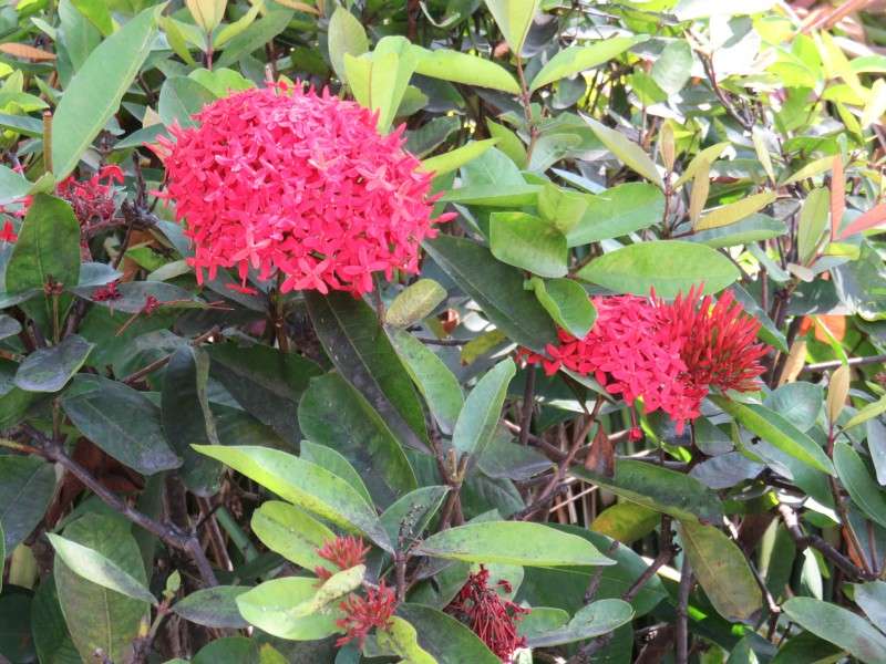
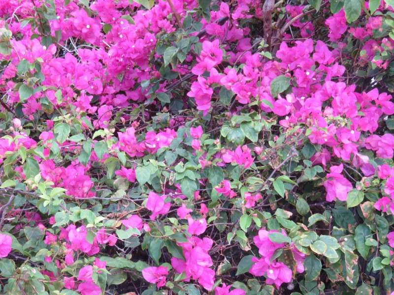
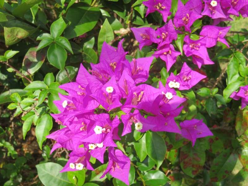
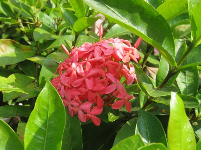
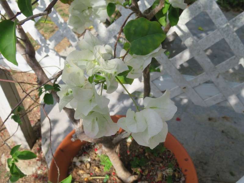
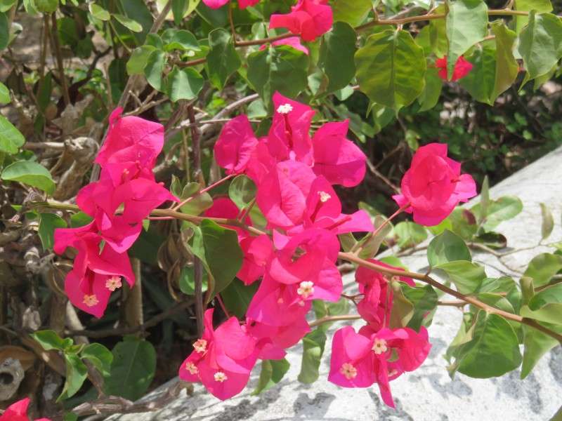
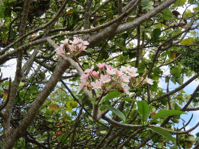
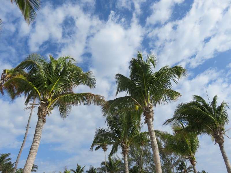
FLORA
There were some really nice flowers everywhere. If anyone knows what any of these are, let me know.

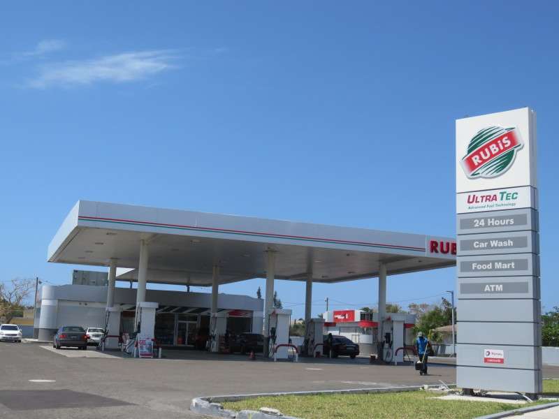
BRANDS
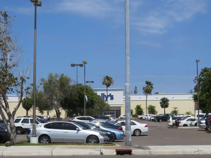
Most of their retail brands are not American. They do have some fast food places, like Dunkin Donuts.
LICENSE PLATES
Most license plates on New Providence, and in the Bahamas, are pastel blue and yellow. For some reason, Nassau is listed as the location, instead of New Providence (see the Andros plate above for comparison)
But new plates list New Providence.
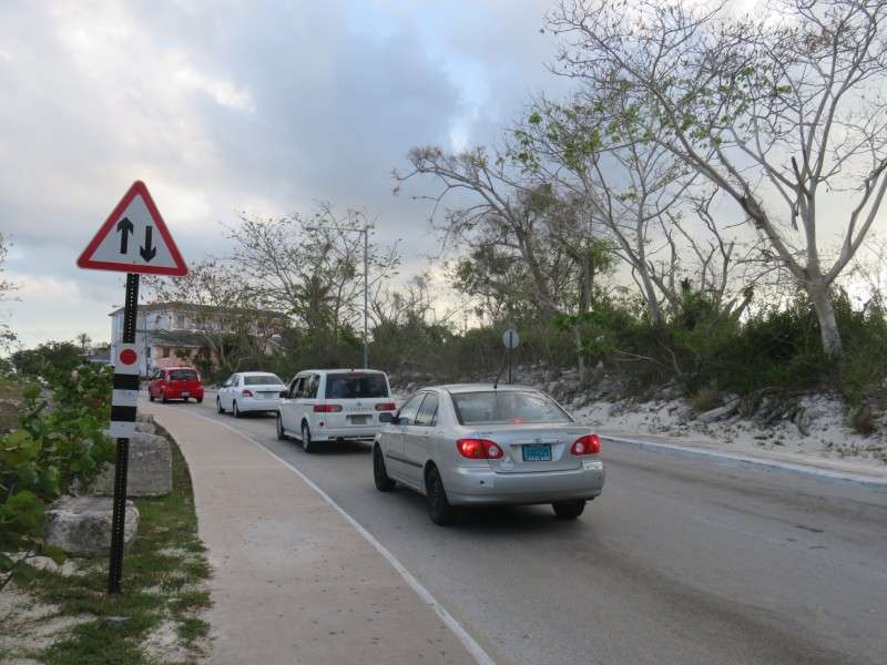
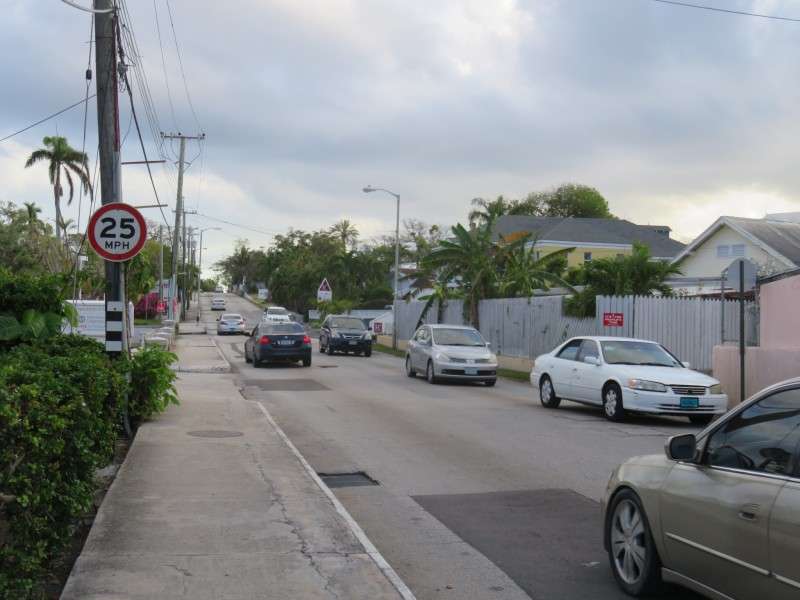
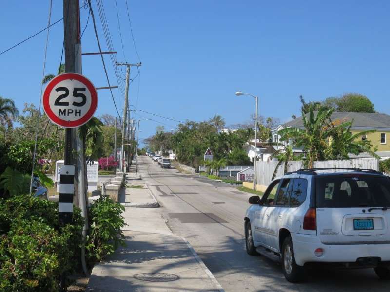
ROADS
Drivers are on the left in the Bahamas. Signs are more European than North American, likely because the Bahamas was part of the UK until 1973, but they use miles instead of kilometers here.
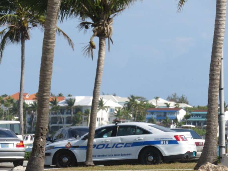
EMERGENCIES
This police car says on the side that if there's an emergency, dial 919, not 911.
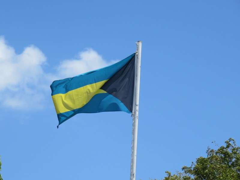
FLAG
It's different seeing a Bahamian flag flying over buildings. Having only been in the US and Canada previously, I'm used to seeing American, Canadian, British, and Mexican flags.
Overall, Nassau was a great place to visit. While there is crime there, I never felt more unsafe than walking around Wilmington or anything like that. After this trip in April, I went on another trip to Costa Rica in May. Pictures from that trip will be coming up later on.


 Linear Mode
