Driving from Kelowna to Vancouver this time of year can be a roller coaster of seasons.

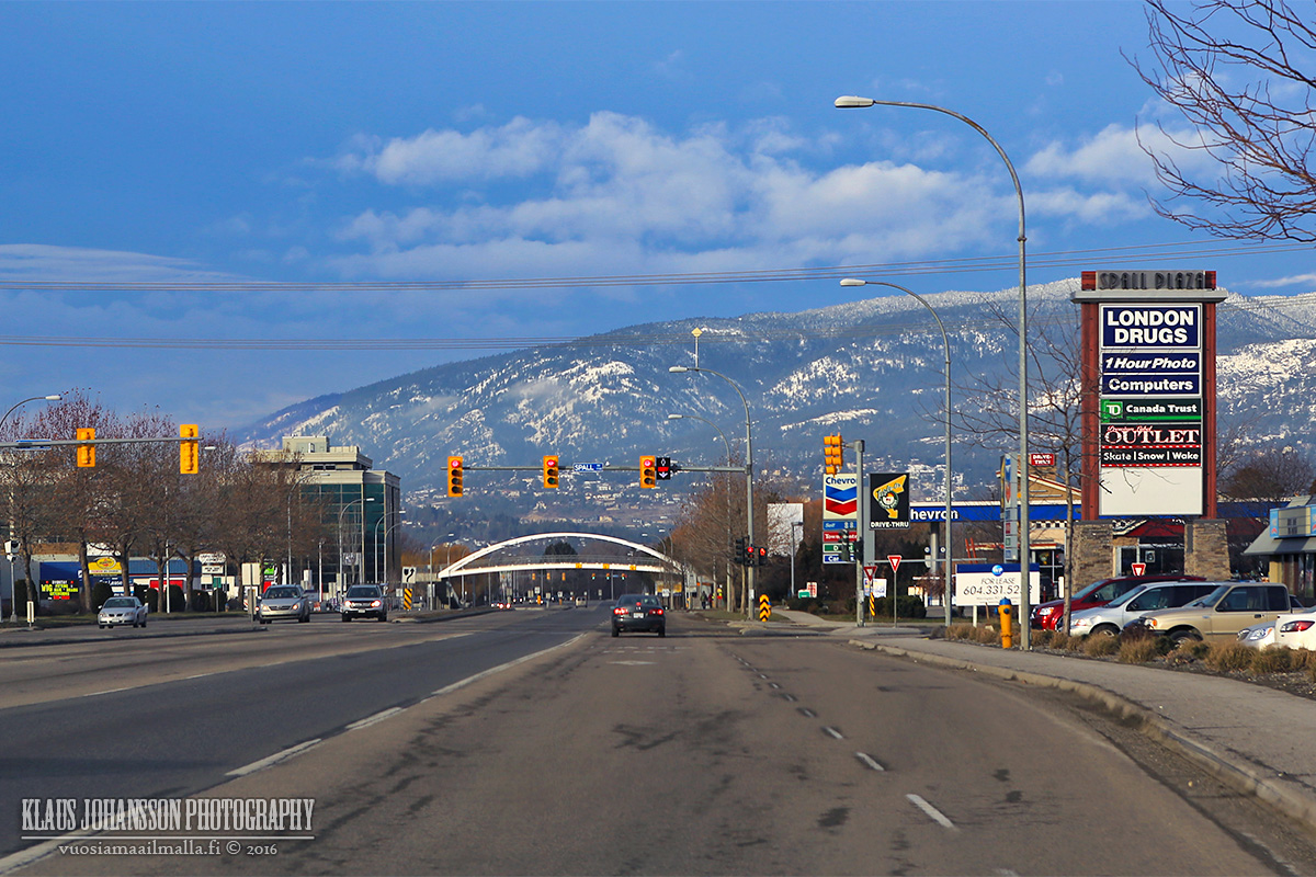
Kelowna
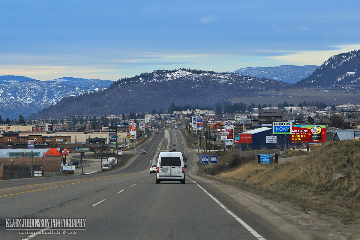
West Kelowna
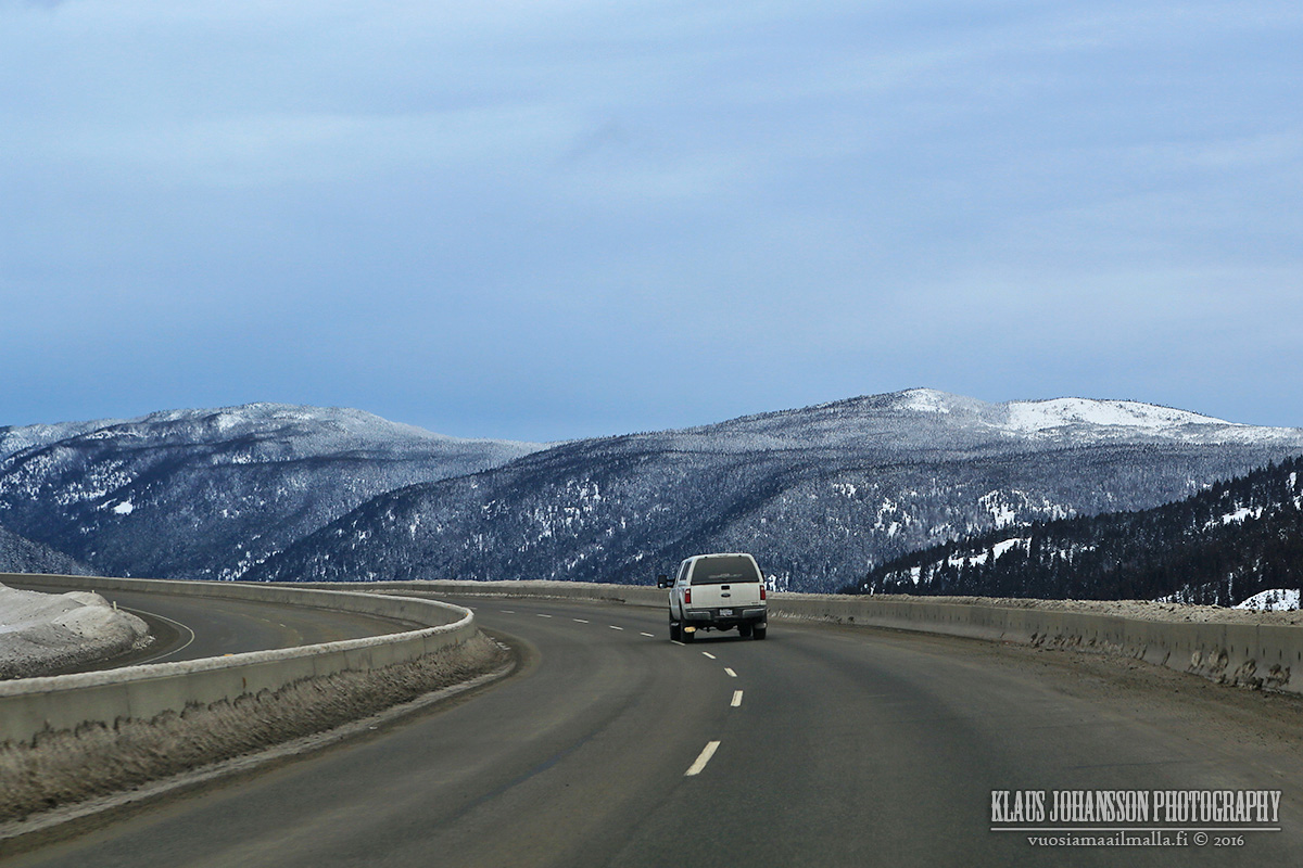
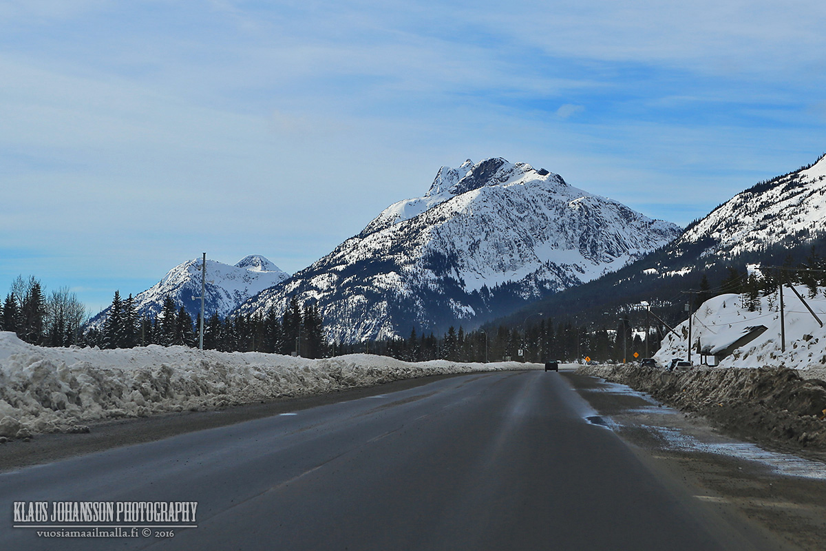
Approaching the 1700 meter summit along Highway 97 Connector.
It's crazy how this highway has the limit of 120km/h throughout the winter!
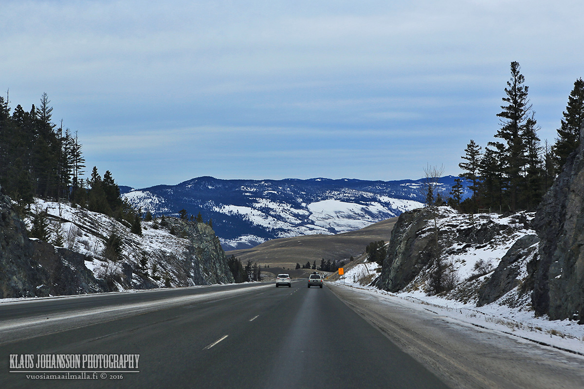
Much less snow again when approaching Merritt.
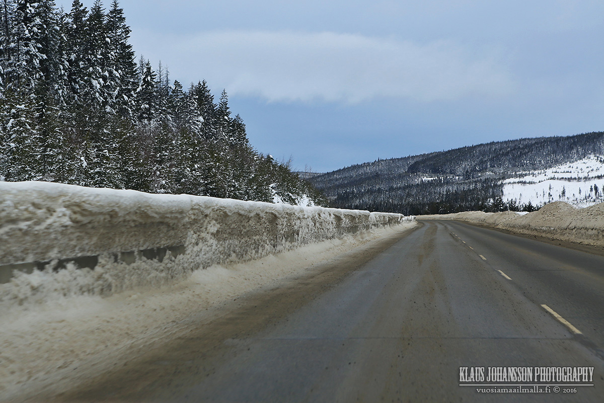
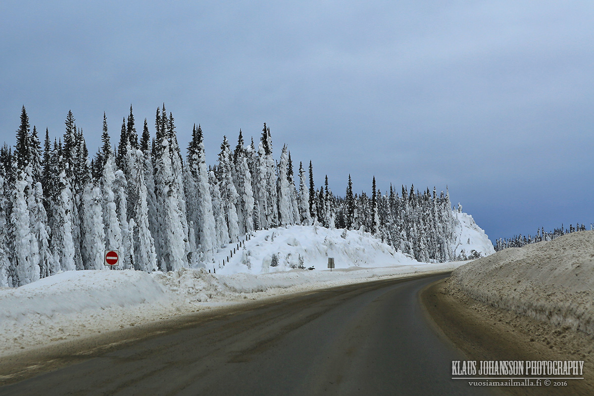
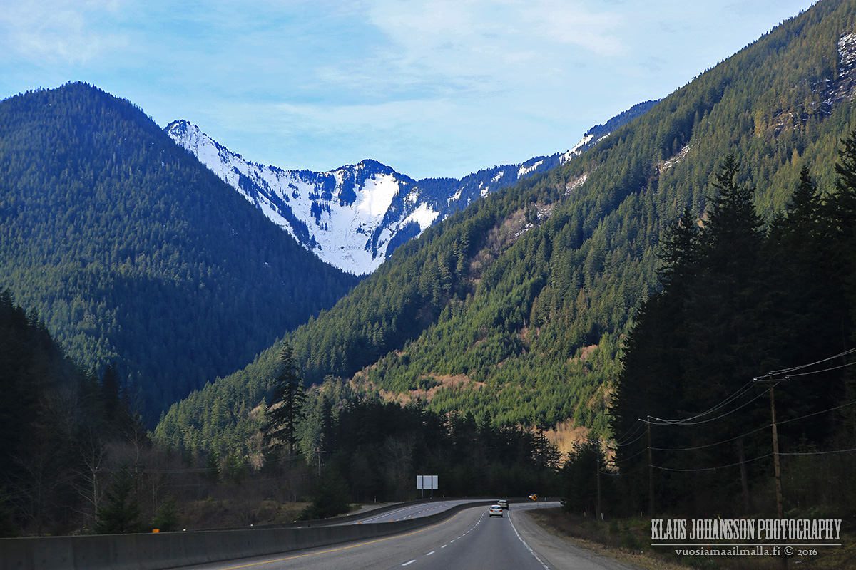
And winter's back again along Coquihalla Highway.
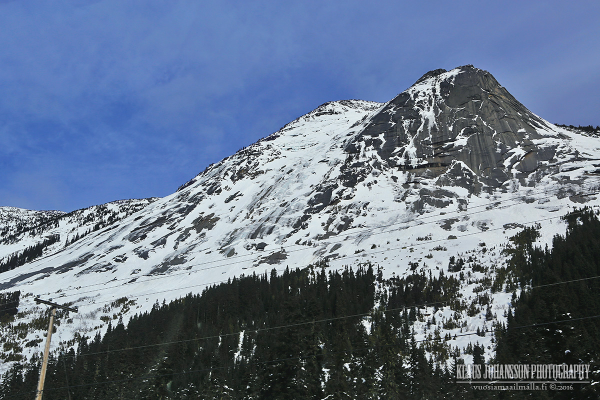
Descending from the summit.
And it's spring nearby Chilliwack.


 Prev
Prev


 Linear Mode
