In late October I was in Seattle for this year's
Rail~Volution conference, a convention of progressive transit planners from around North America. It's great fun.
While not in conference sessions I naturally went out to see the city. This is part 1 of a 2 part set showing pictures from my trip. Here you'll get downtown and some of the immediately adjacent neighborhoods, plus a bunch of interesting transit & bike infrastructure stuff.
Being Seattle, we were lucky on days when it was merely overcast, instead of actively fogged over. Cherish the approximately 3 pictures you'll see with a blue sky.
Let's go.

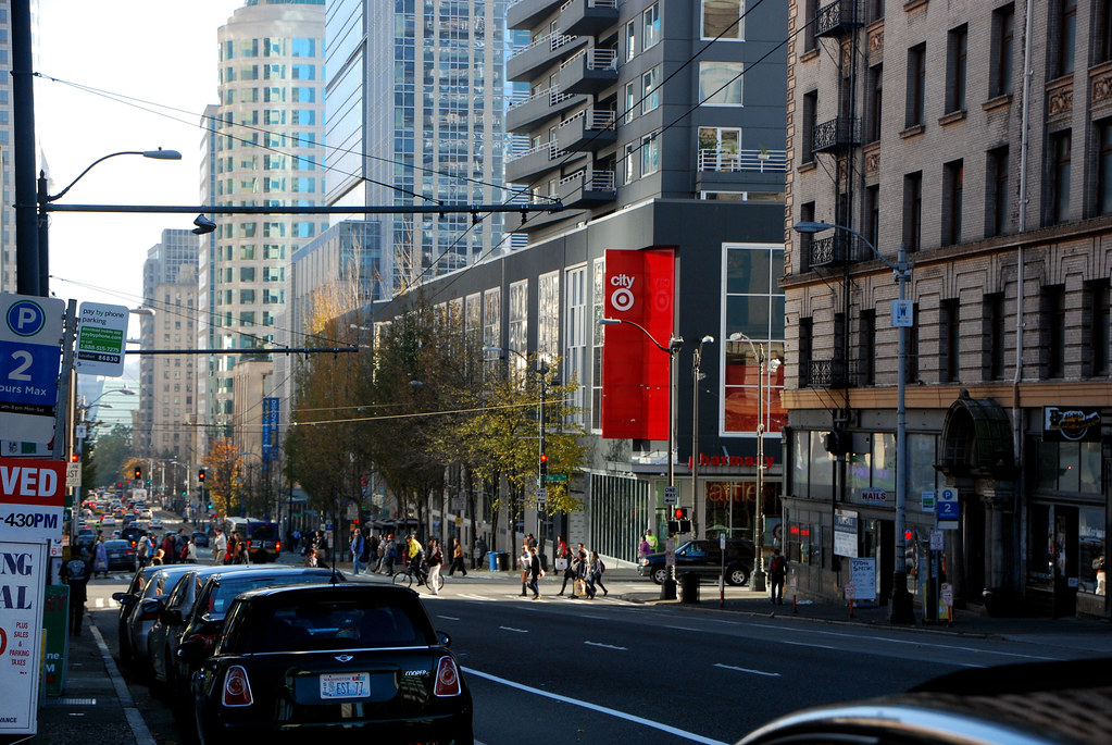
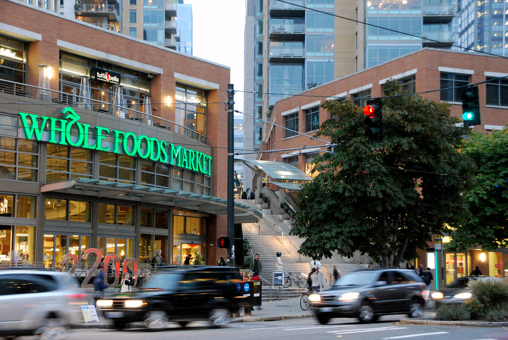
Is that a Target? Yes it is. Seattle has a very solid retail core.
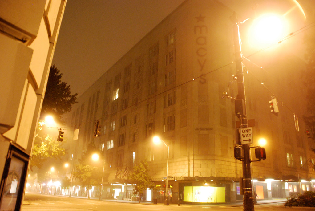
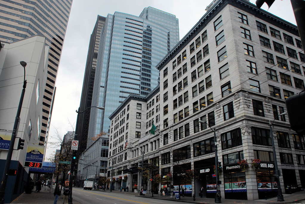
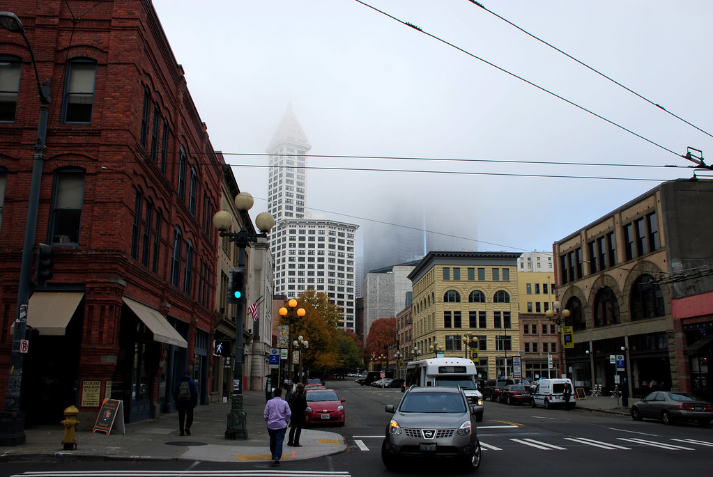
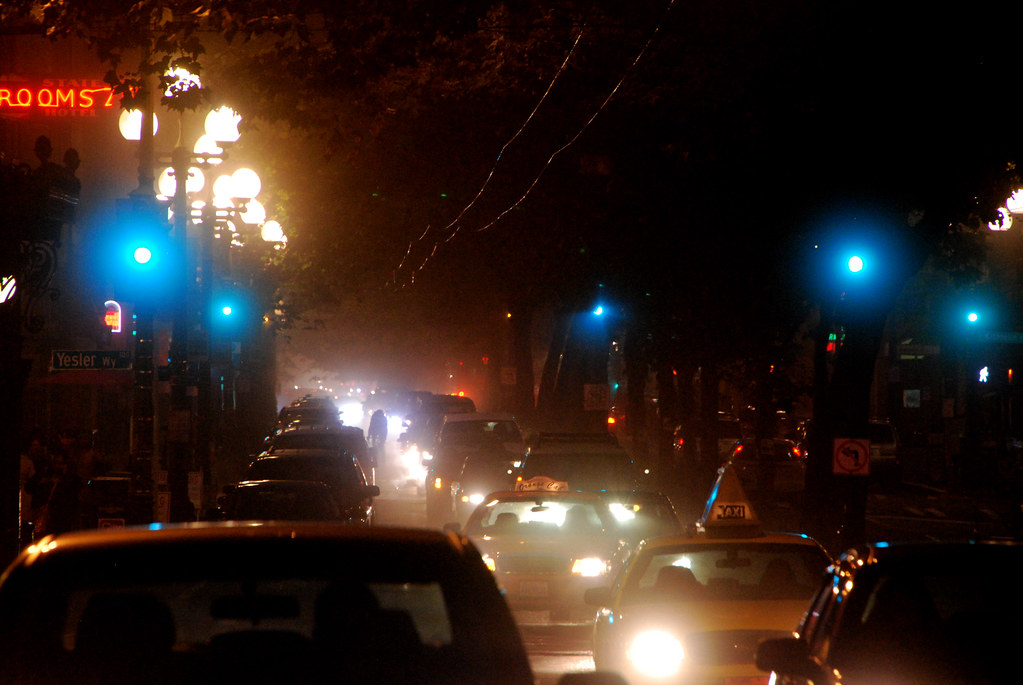
About that fog.


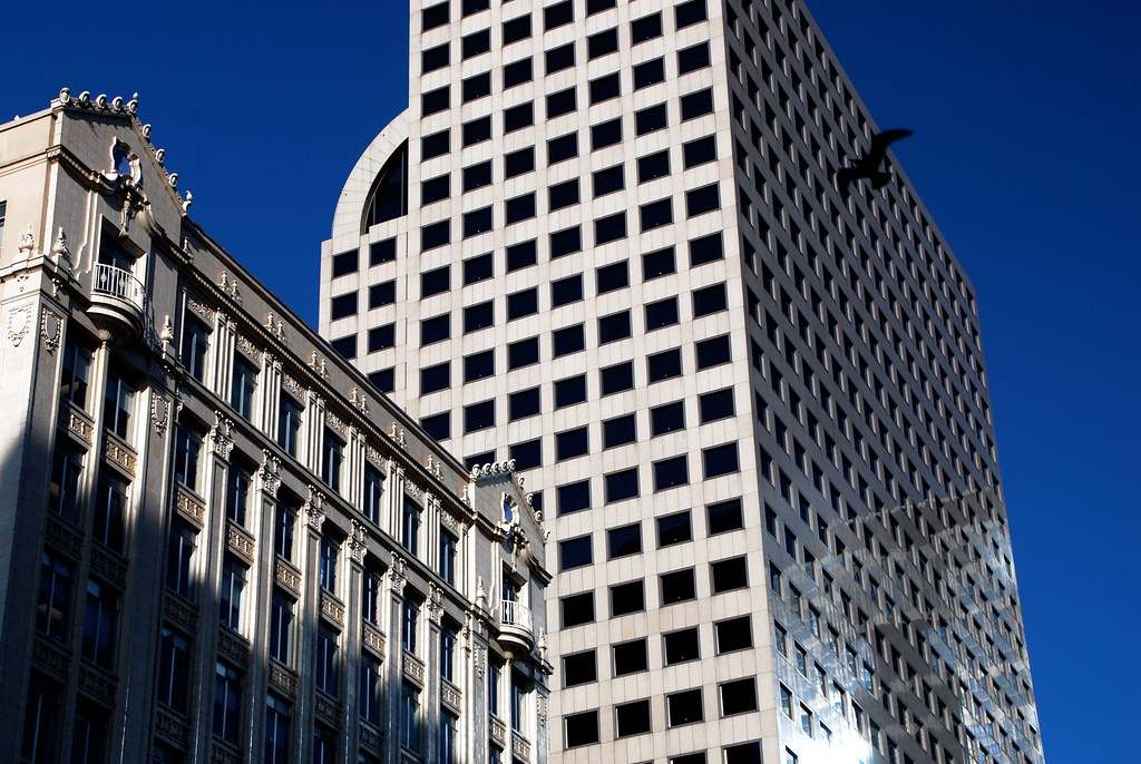
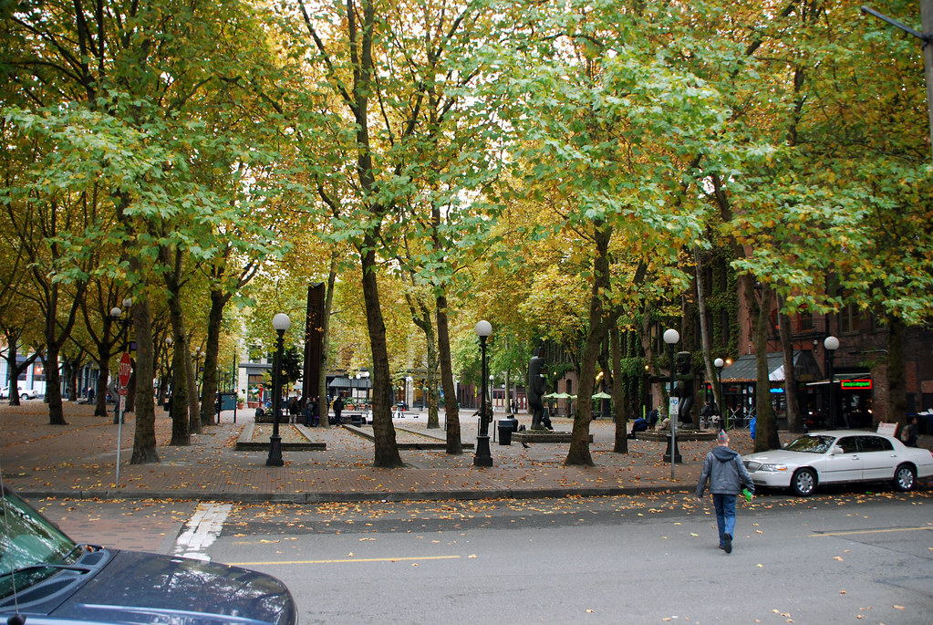
Blue! Don't get used to it.
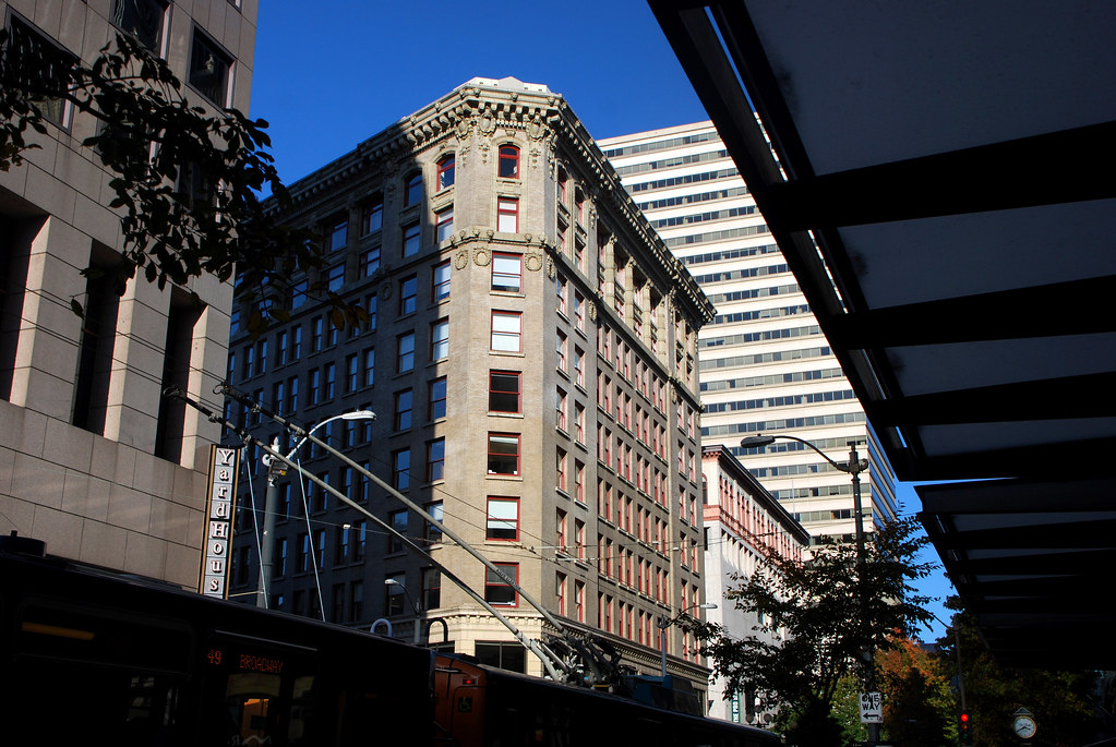
You get 2. Now back to overcast.
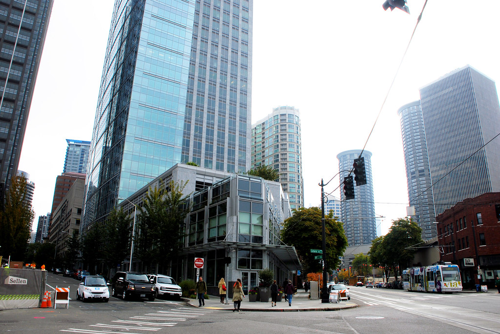

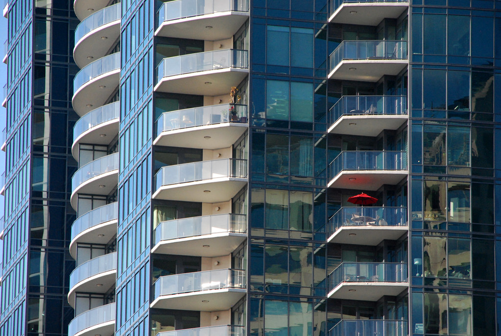
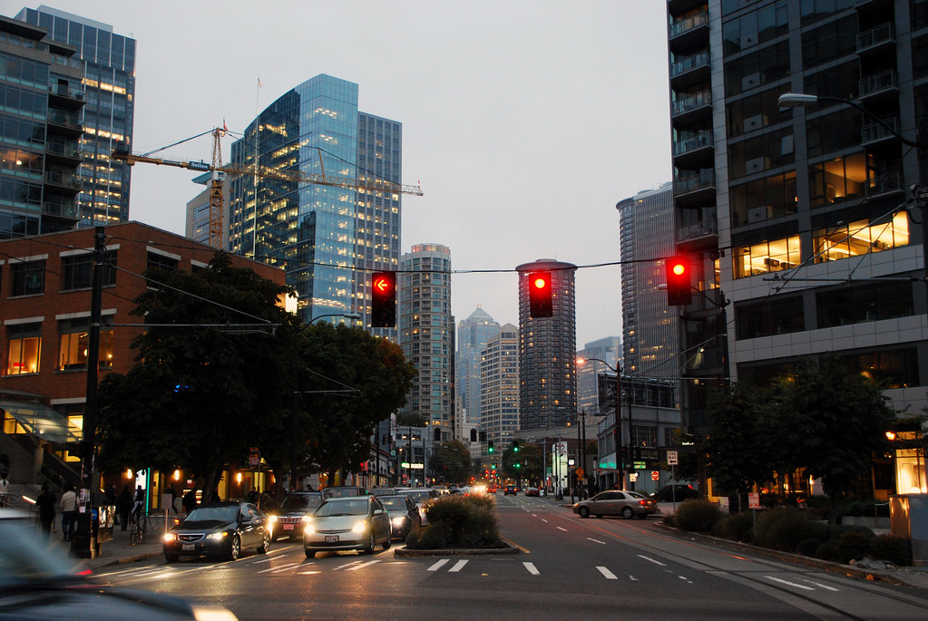
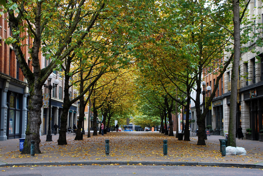
Belltown, just north of downtown, between downtown and the Space Needle.


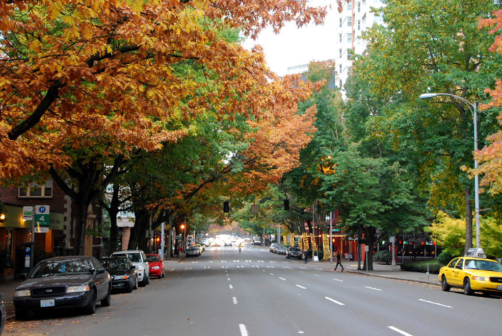
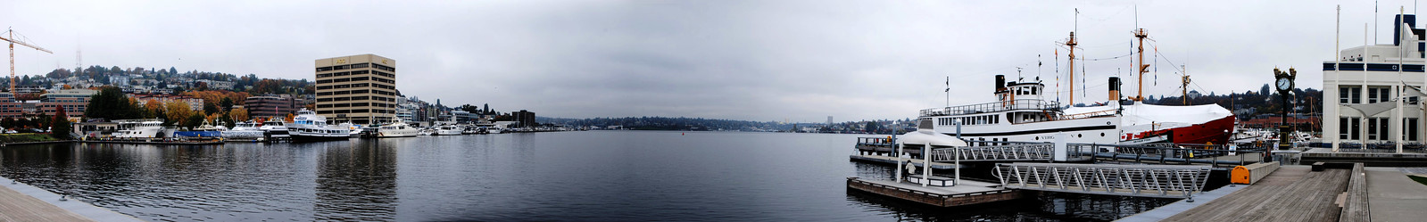
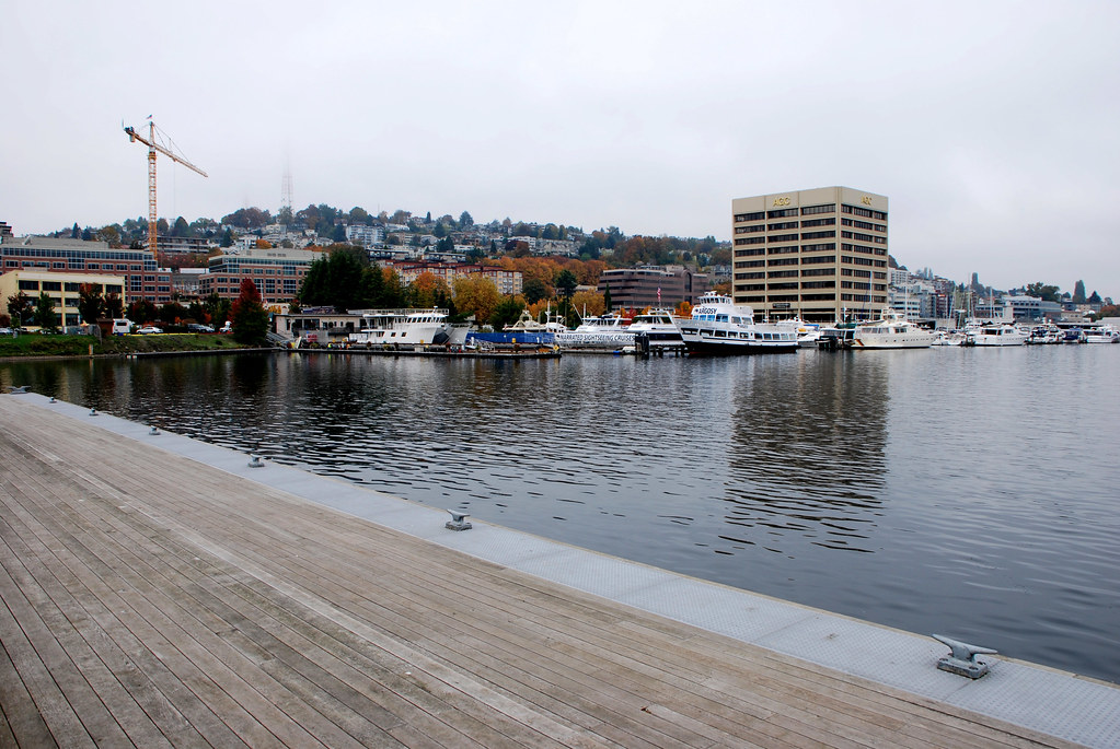
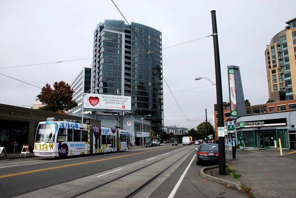
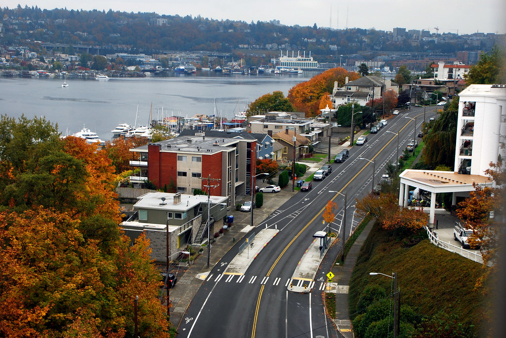
Now walk to the next neighborhood east, also directly north of downtown, South lake Union.
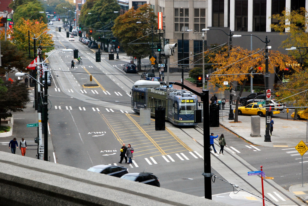
A streetcar connects the waterfront to downtown proper.
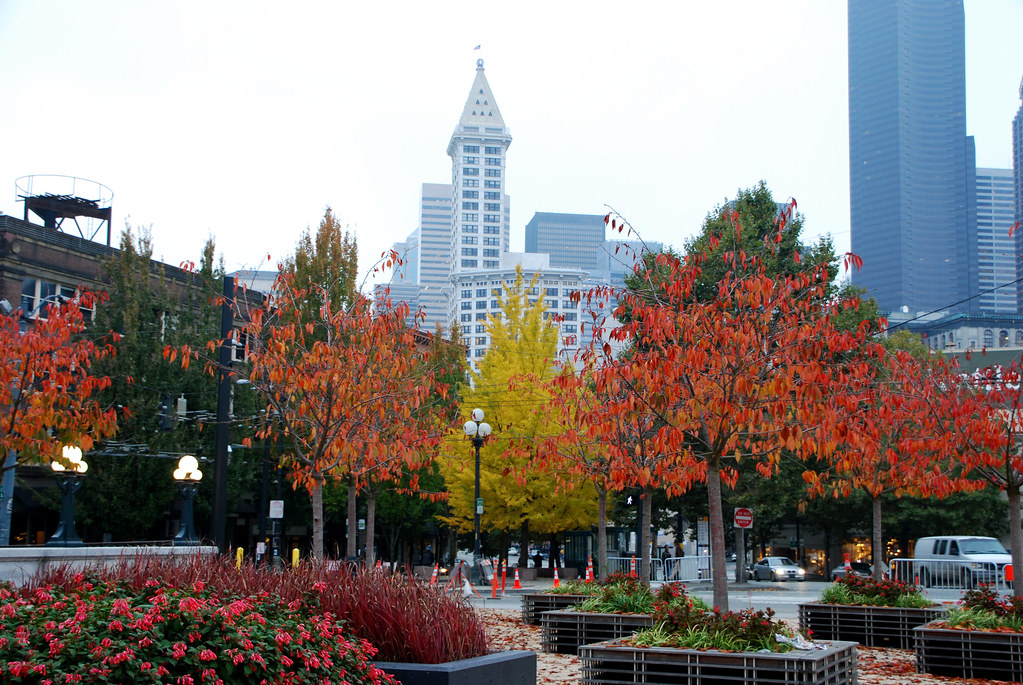
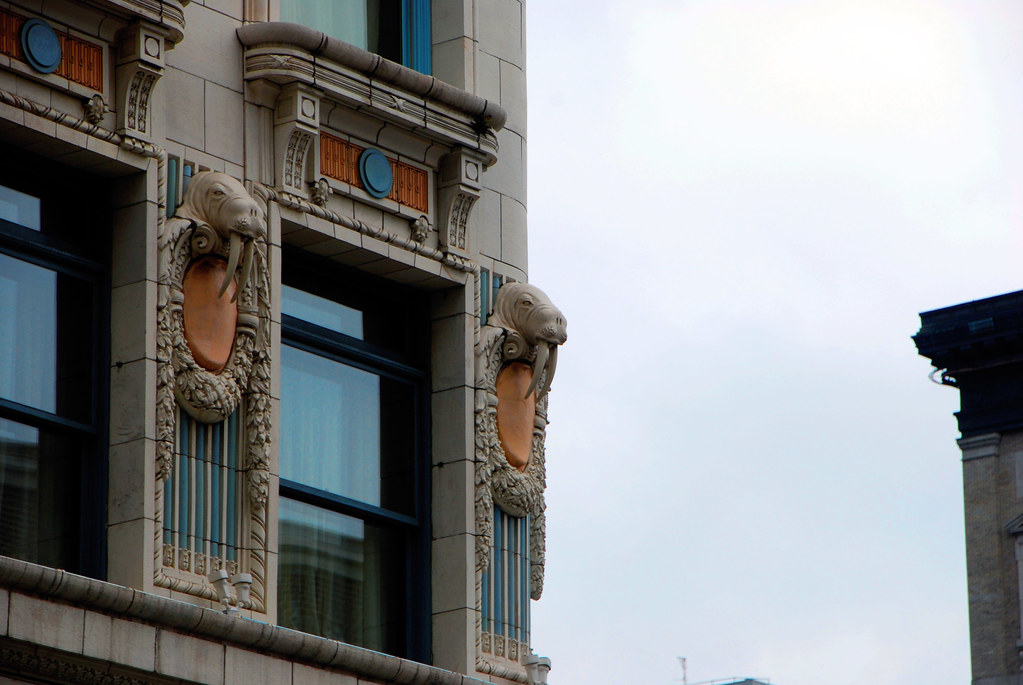
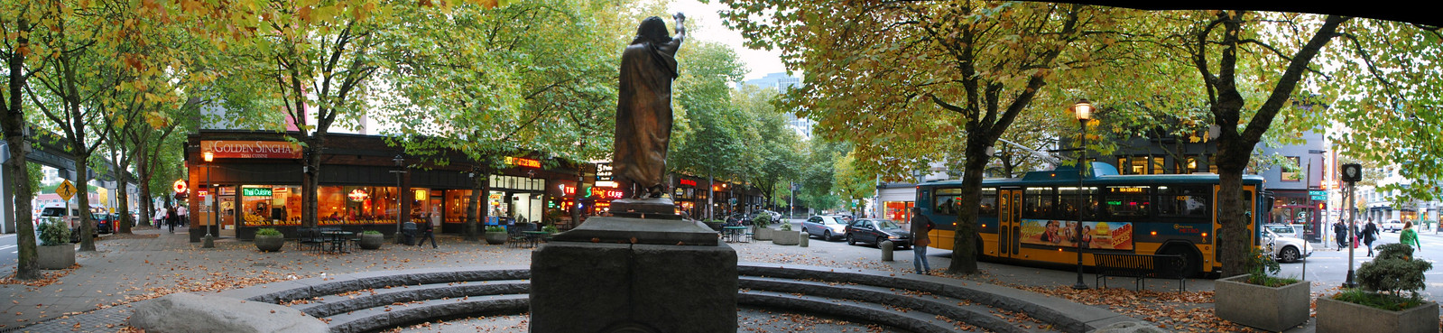
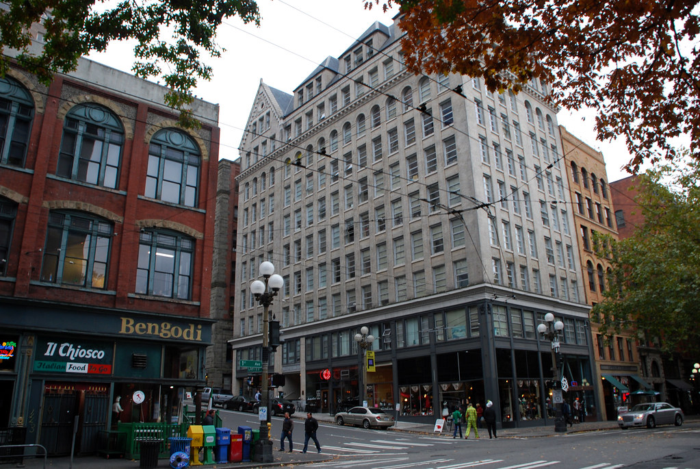
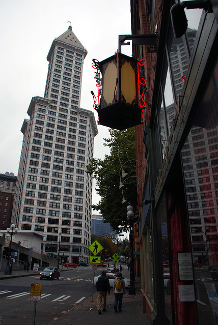
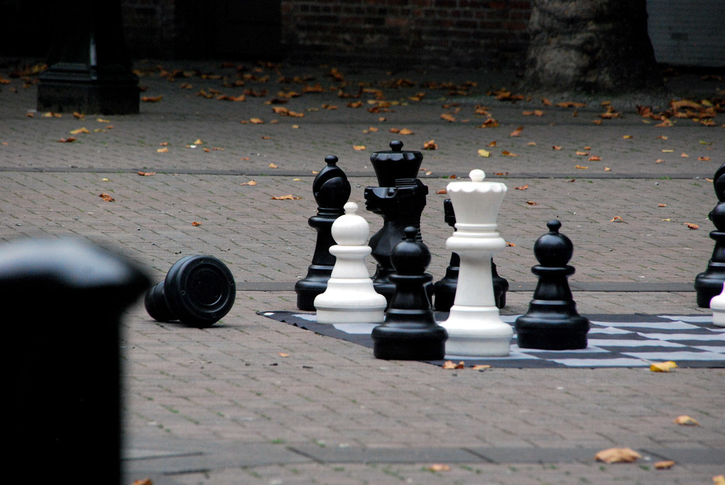
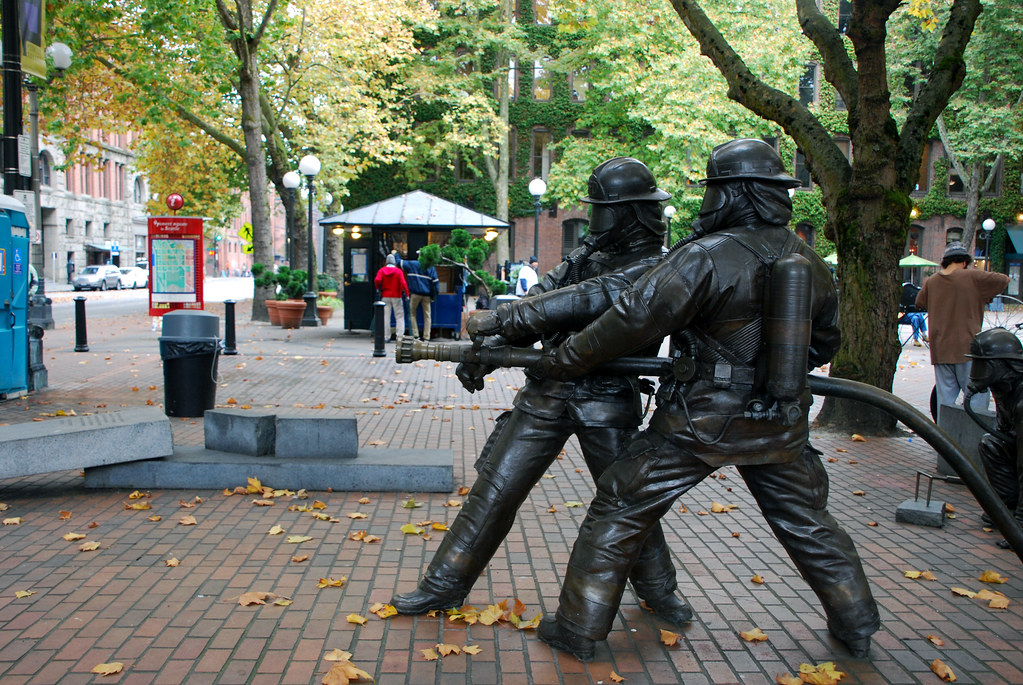
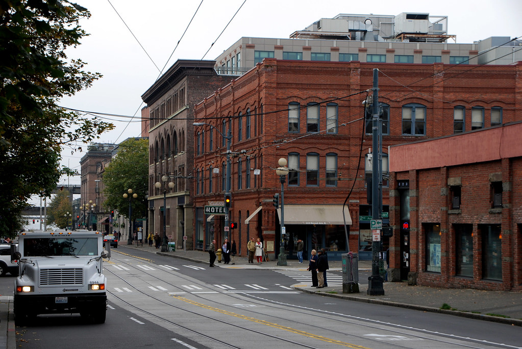
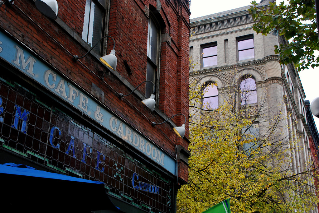
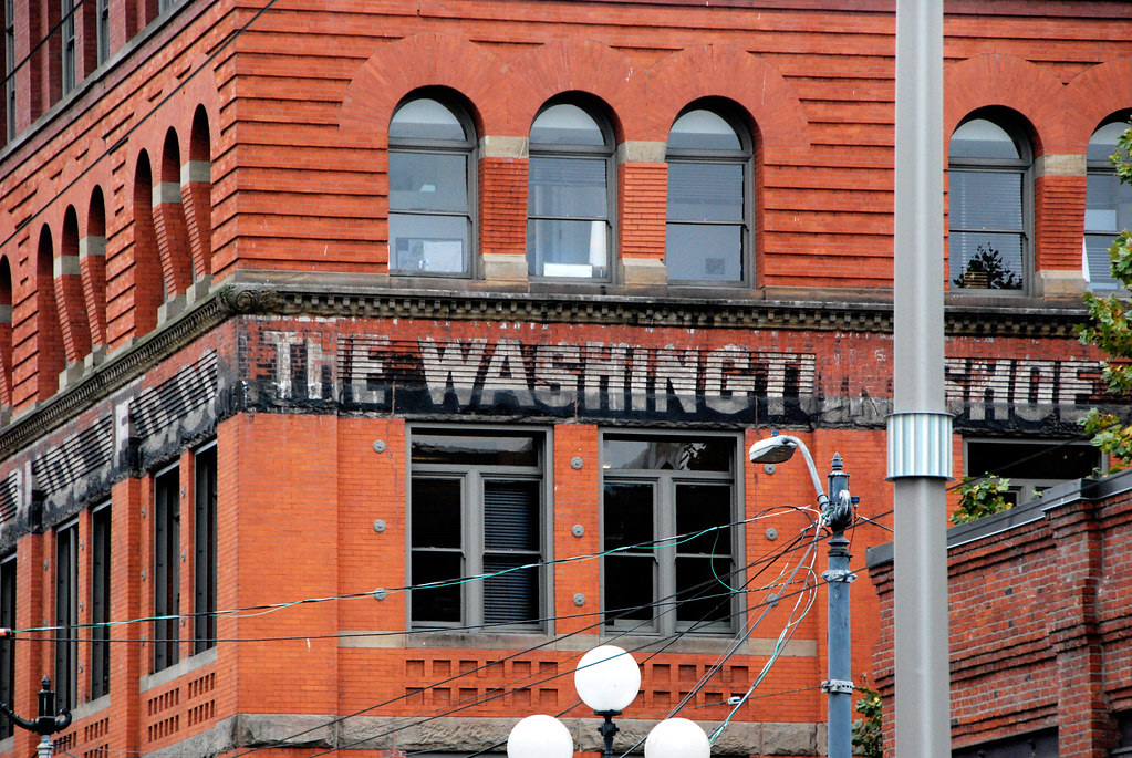
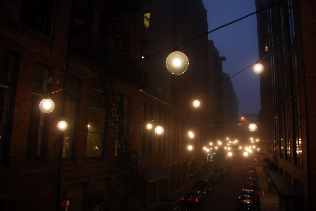
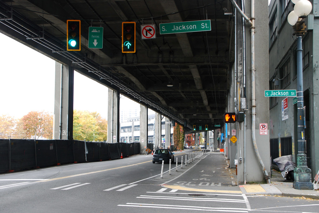
Moving south into the more 19th Century Pioneer Square area.
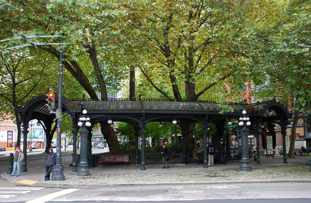


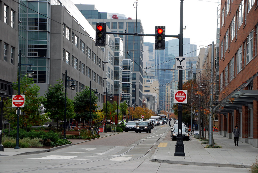
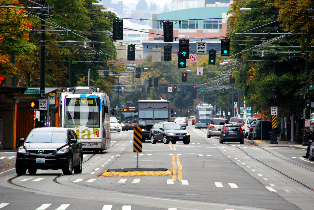
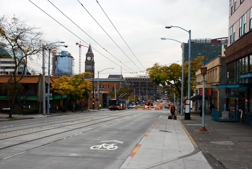
What's this? Streetcar tracks? More on these later.
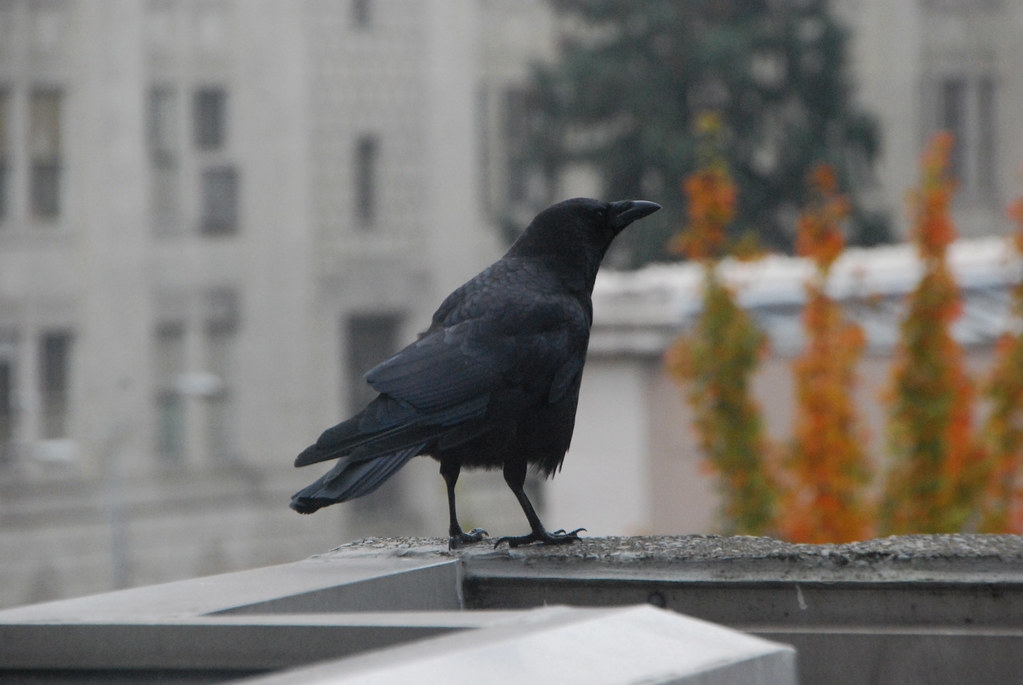
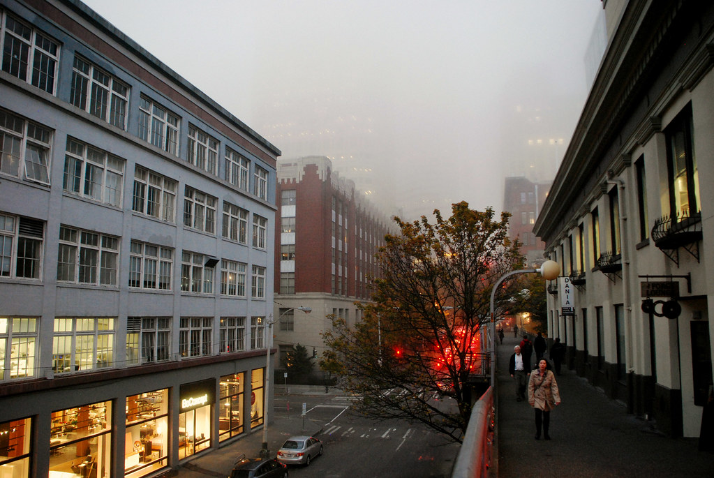
Oh hello again, fog.
Those streetcar tracks from earlier are for the First Hill Streetcar line, which is under construction now and will go from the Pioneer Square area over into First Hill and Capitol Hill, neighborhoods east of downtown.

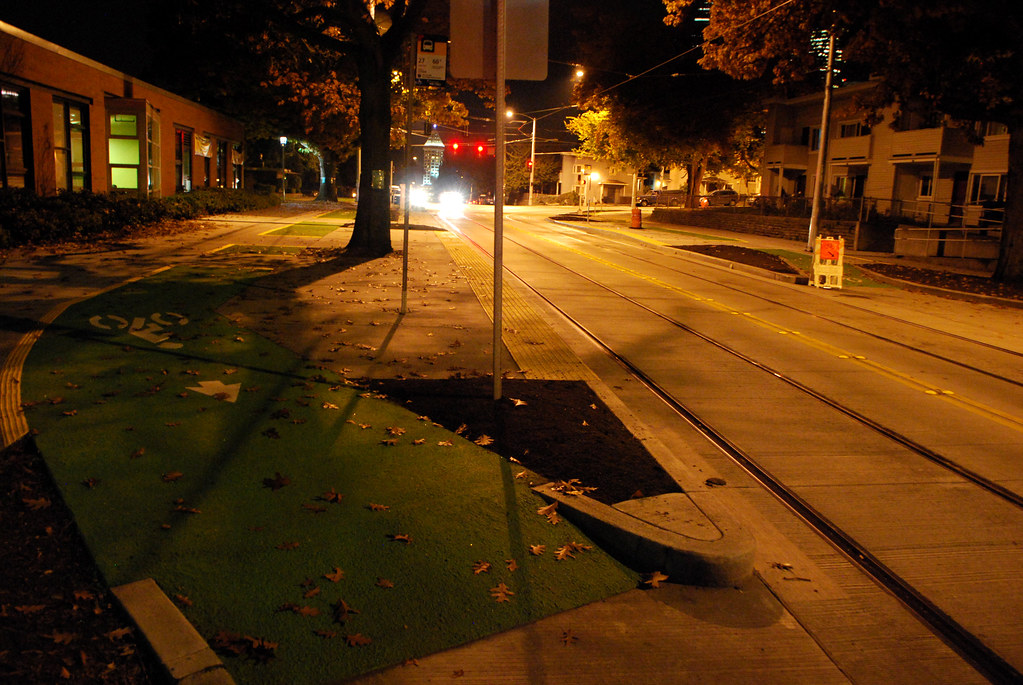
For most of its length, the streetcar line runs along Broadway, where they've also built a cycletrack. A streetcar and cycletrack on the same road is very unique. The only close to comparable street in the US I know of would be Market Street in San Francisco.
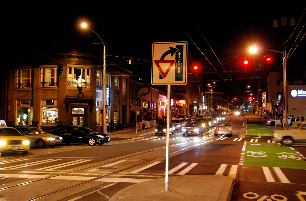
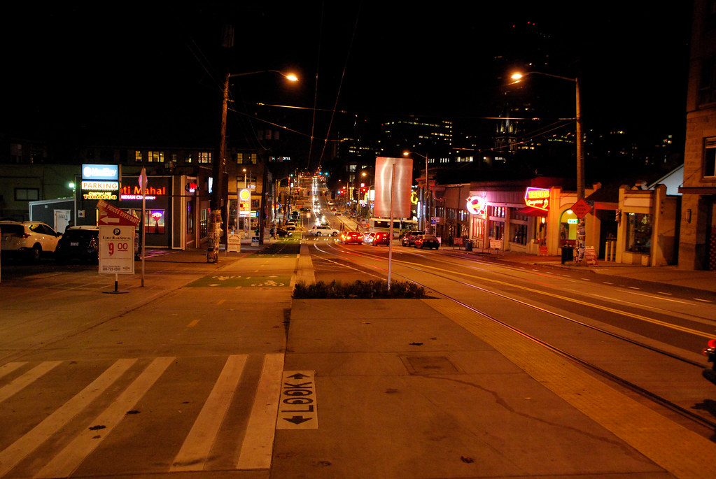
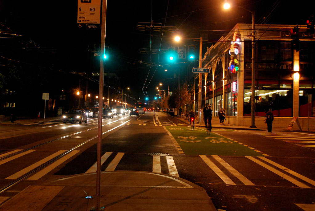
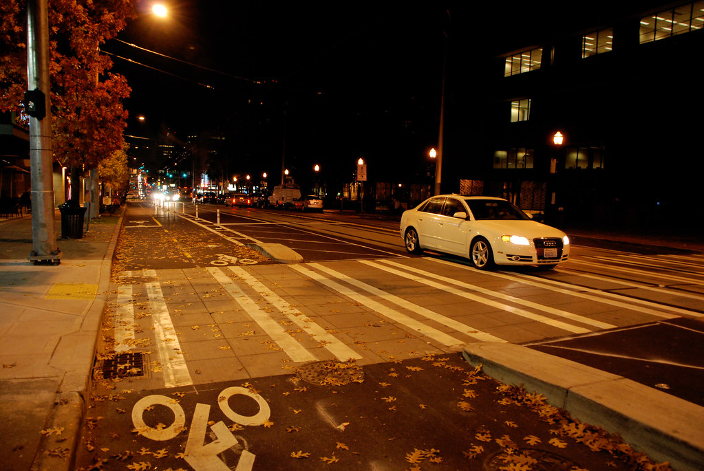
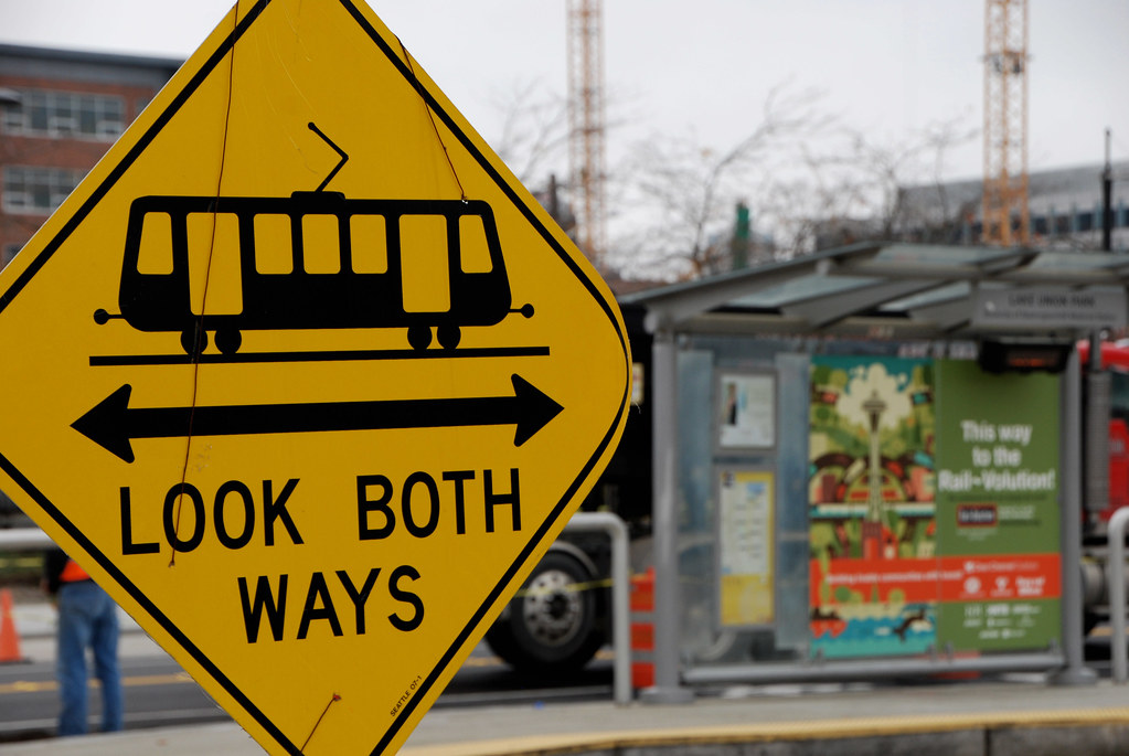
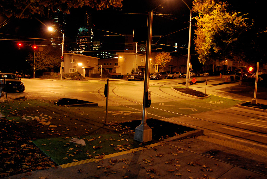
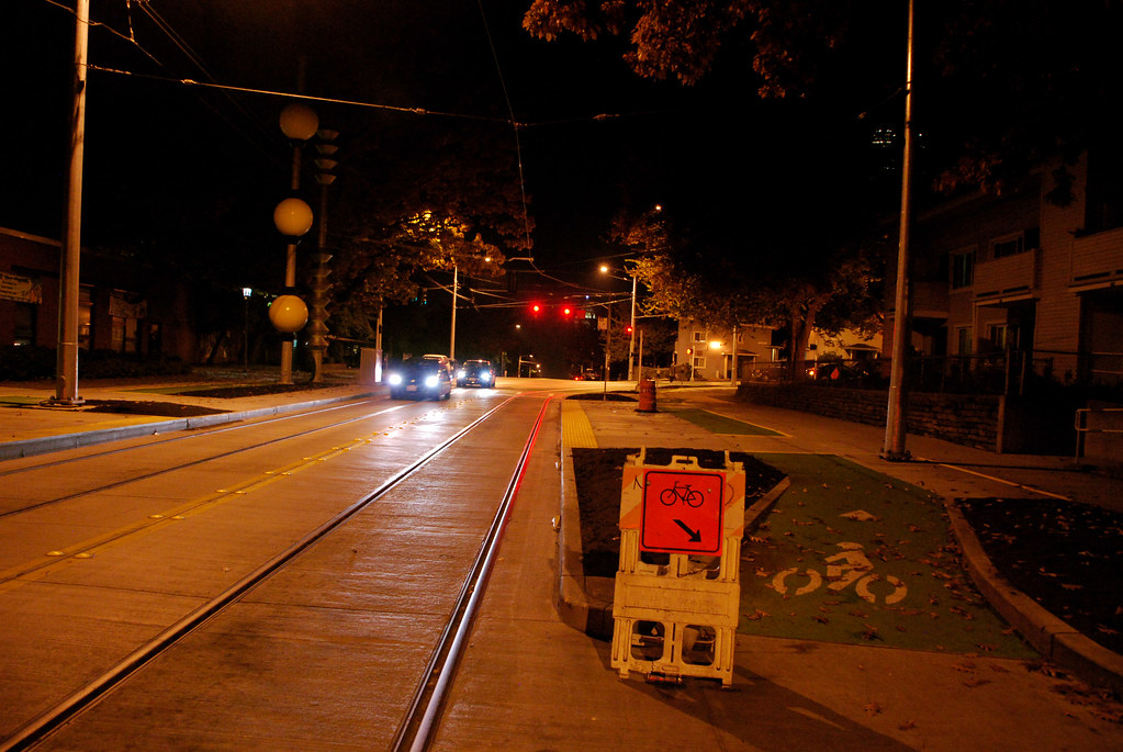
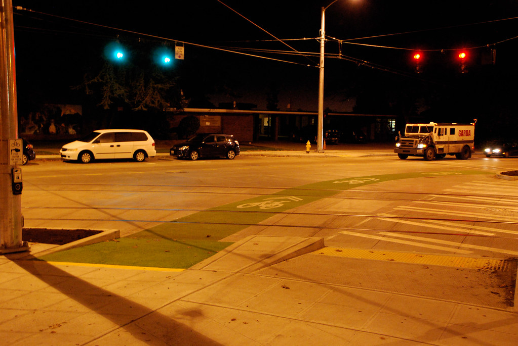
Because streetcar tracks can be dangerous for cyclists to cross, there are a lot of interesting treatments to help people do it safely (ie at a 90 degree angle to the tracks).

All right. Let's hit some other Seattle transportation things real quick, before closing this thread out.
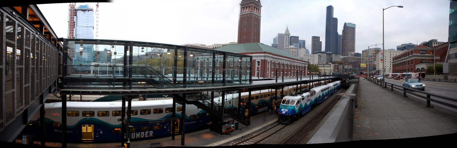
King Street Station:

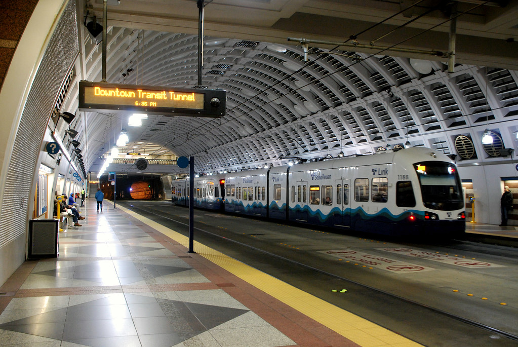
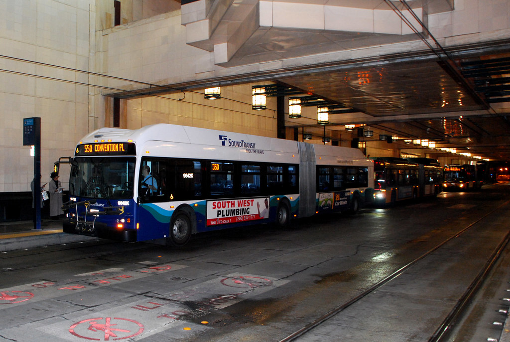
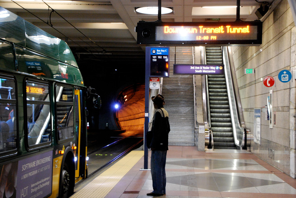
The awesome mixed bus/light rail subway downtown:

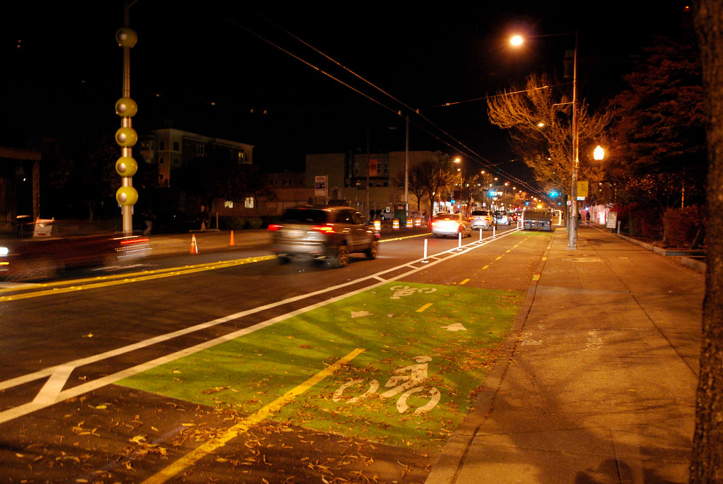
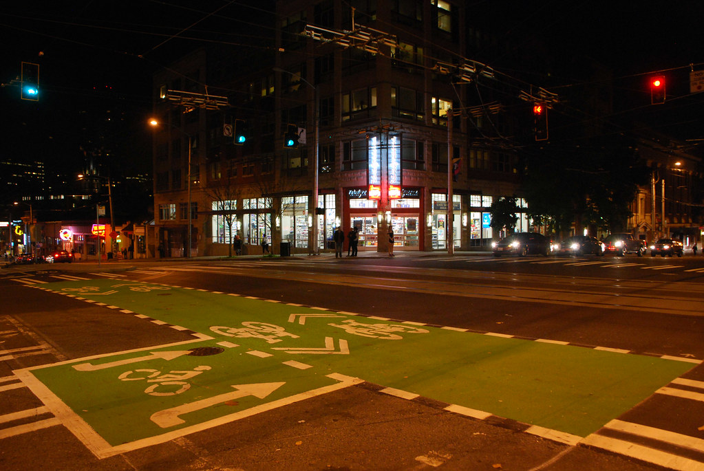
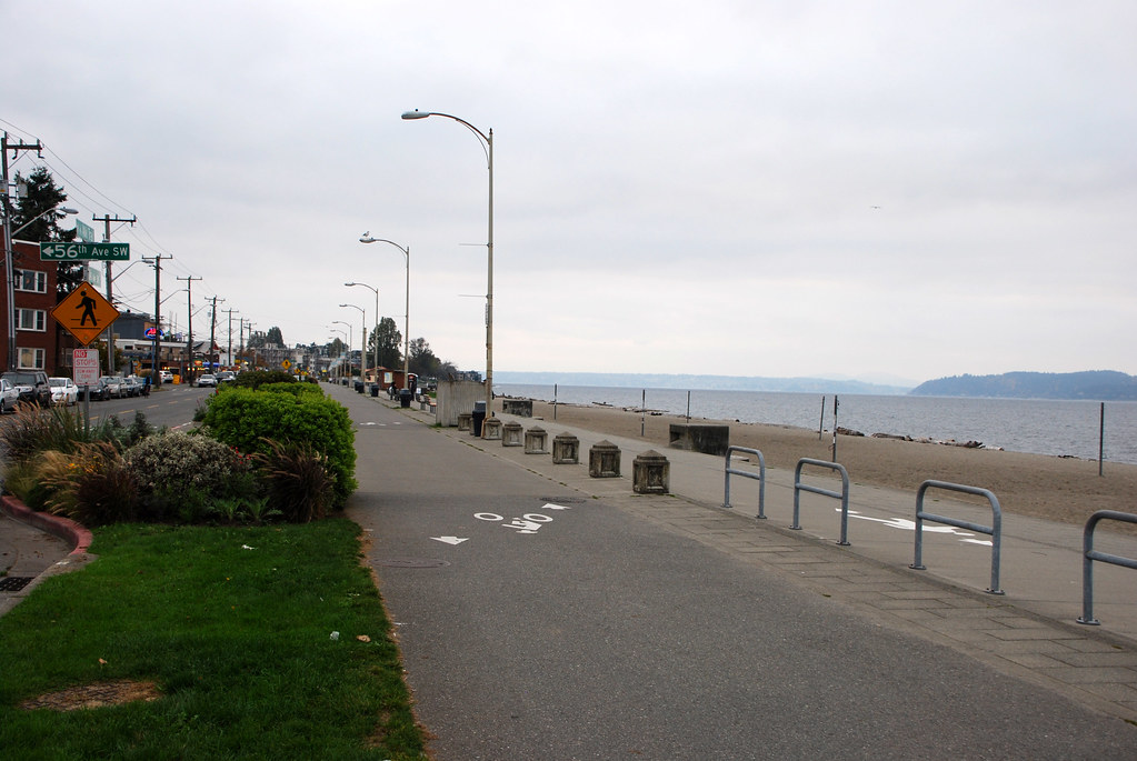
Some more nifty bike infrastructure:

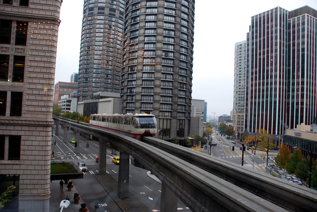
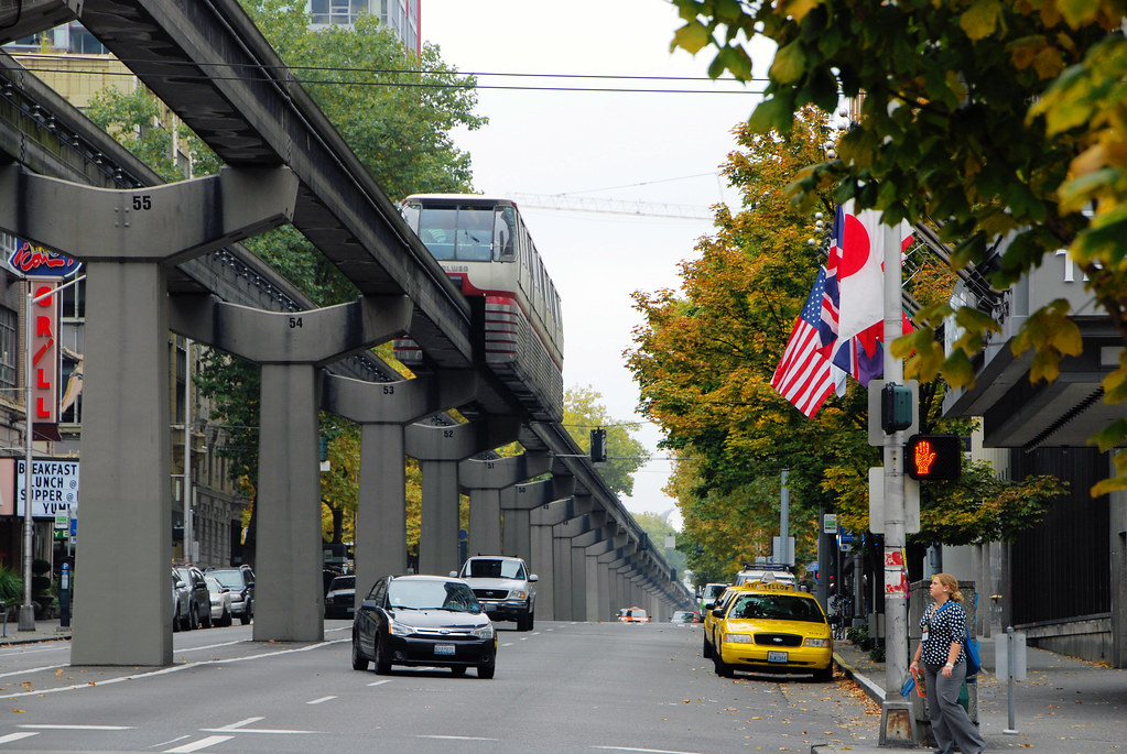
The fun-but-just-a-novelty monorail:
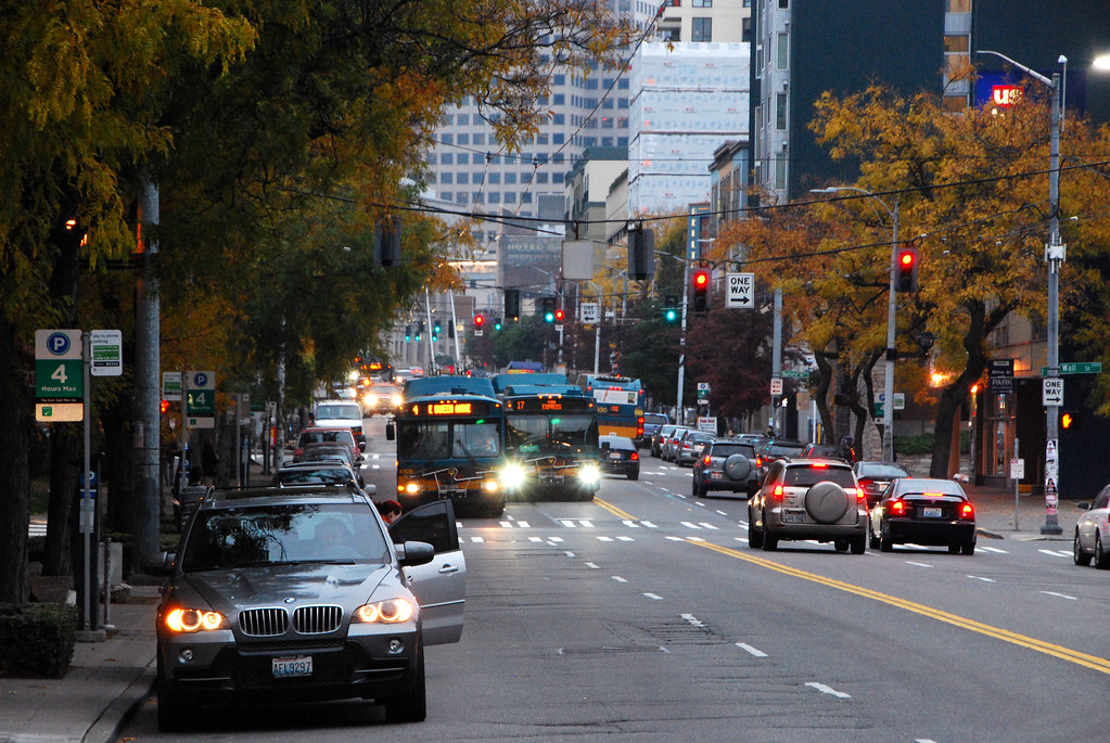
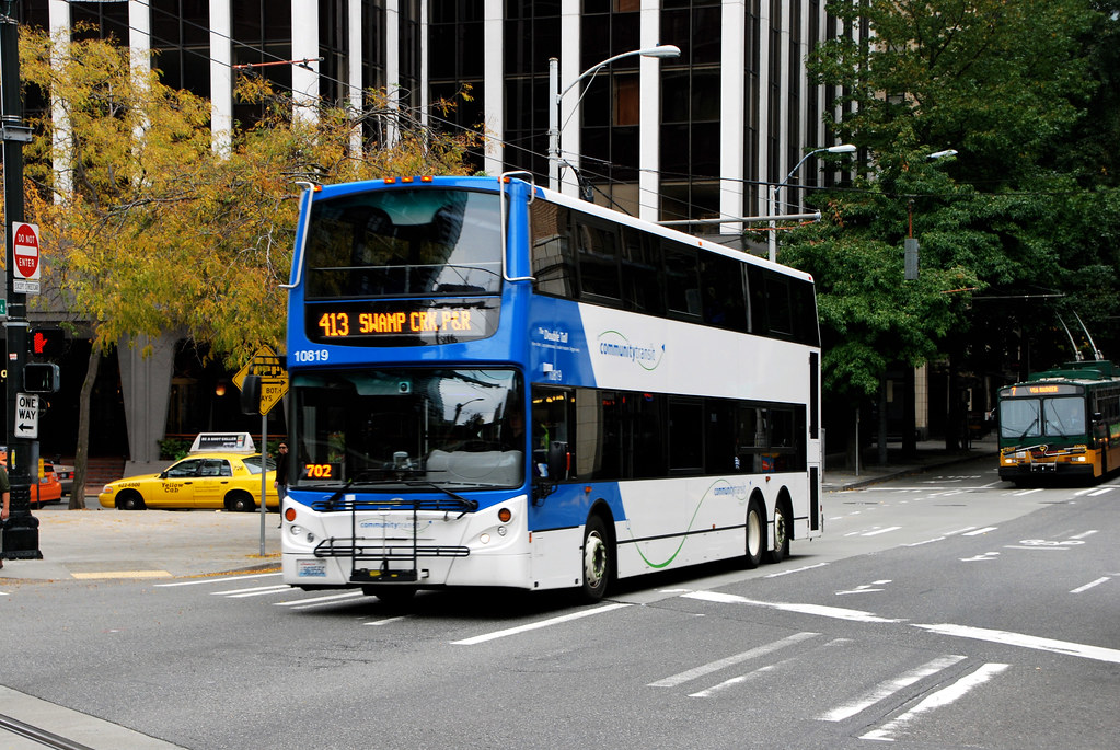
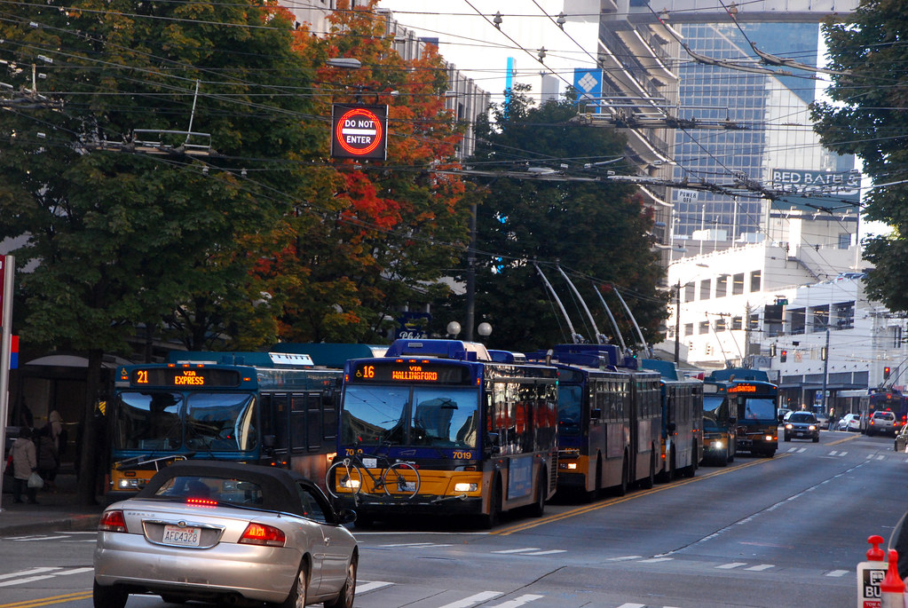
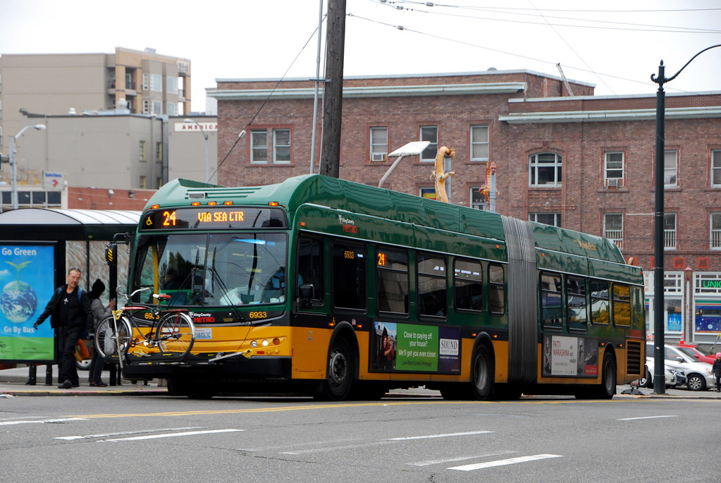
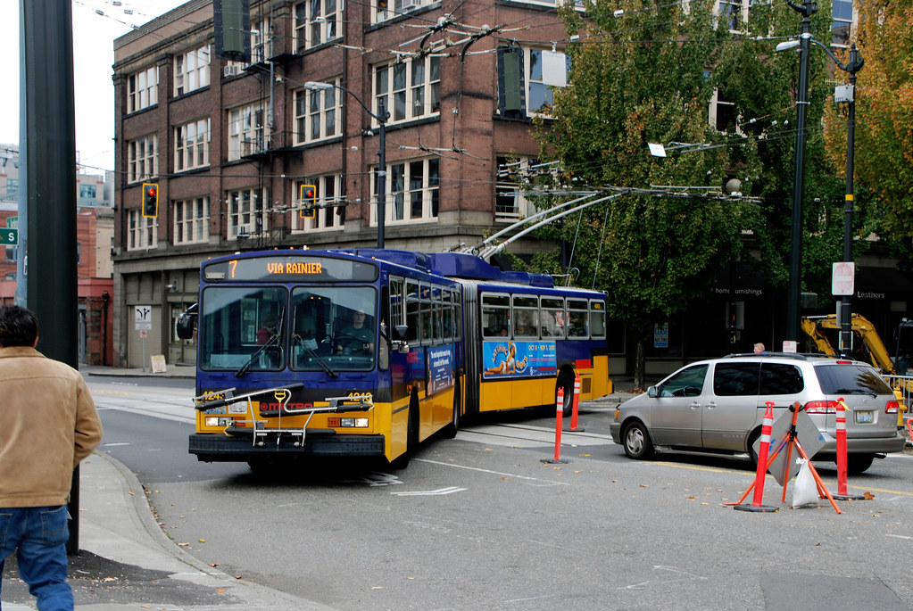
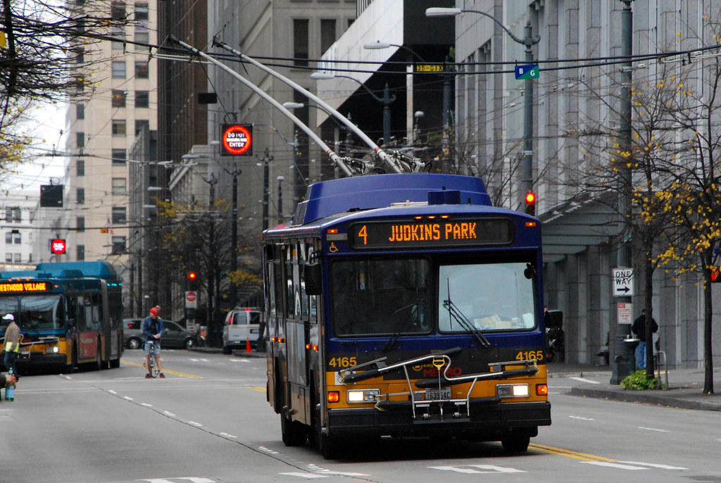
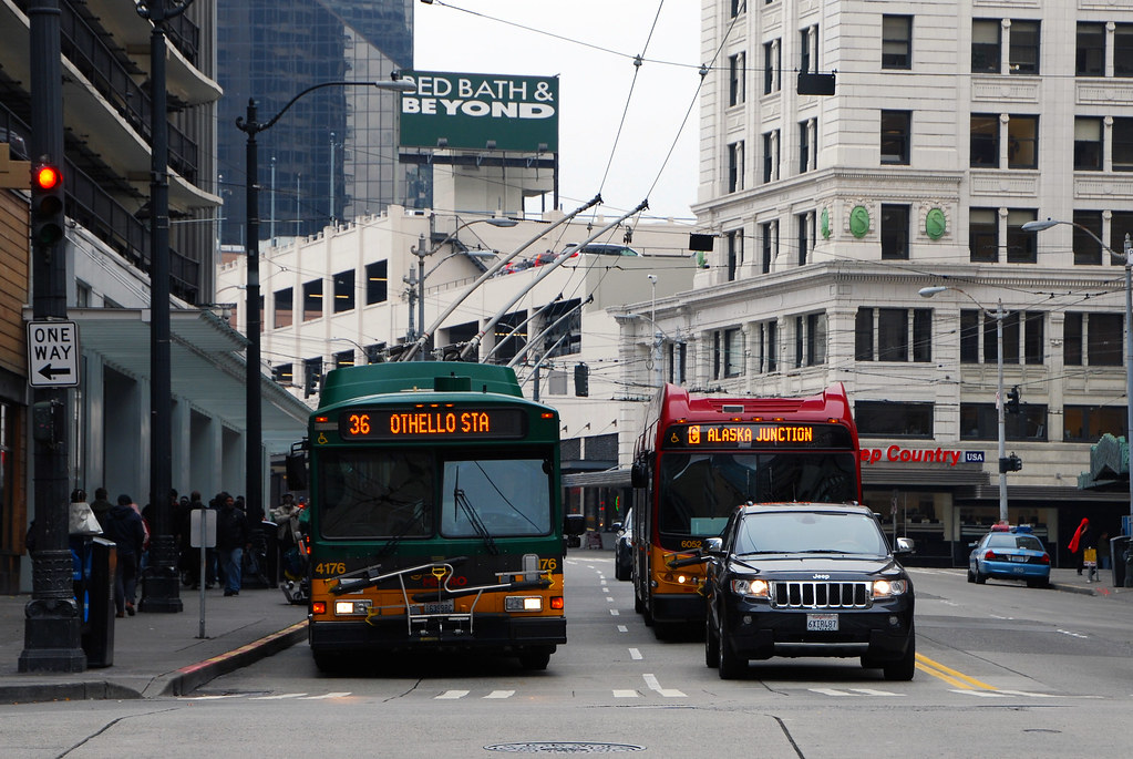
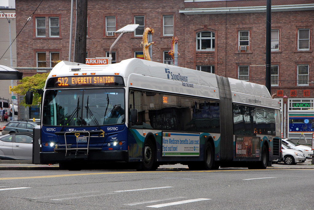
And finally, some of America's best-looking buses. Including trolley-buses!


That's it for now. Part 2 will focus on the next ring of neighborhoods, across various bodies of water.


 Threaded Mode