info is up
http://ottawa.ca/en/city-hall/public...ern-rail-route
Preferred Route
Richmond Underground (Green Line)

[ PDF 4.99 MB ]
This option would see the existing Bus Rapid Transit Transitway converted to dual-track electrified light rail from Tunney’s Pasture (where it would connect with the Confederation Line) west to Dominion Station, a distance of 2.5 kilometres. Heading west from an expanded Dominion Station, the line would run in a shallow trench (one to two metres below the existing ground level) on the former CPR rail line south of the Sir John A. Macdonald Parkway and north of Rochester Field and continue west parallel to Skead Street. The line would continue west on the rail bed in a shallow trench south of the Parkway, gradually deepening into an open air Station at Cleary Avenue. Dominion Station to the Cleary Station is a distance of 1.2 kilometres.
The line would then enter a portal and turn slightly south where it would continue west under Richmond Road in a tunnel in the City’s right of way to just west of Woodroffe Avenue, a distance of 900 metres. Here, the tunnel will take a slight jog south underneath the Byron Linear Park where an open air station in an open trench will be located in the vicinity of Harcourt Avenue, about 480 metres west of Woodroffe. From there, the line will continue west under the linear park, moving back under Richmond Road, then turning slightly south before emerging from a portal in the Pinecrest Creek Corridor, south of Richmond Road and east of the Parkway, 580 west of the New Orchard station. The line will then run 460 metres southwest to Lincoln Fields.
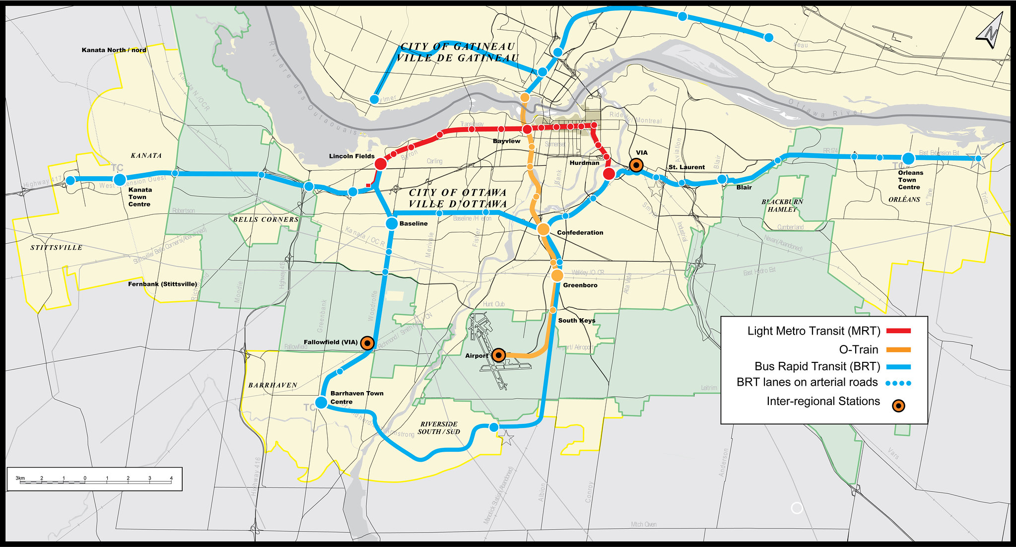
South of Lincoln Fields, the line will continue for 2.7 kilometres generally following the existing Southwest Transitway to Baseline. Iris Station will be modified to suit LRT, and the Queensway Station will be closed.


 Prev
Prev


 Linear Mode
