well.... you can tell how old you feel when someone asks, where was the Brant Inn .... gets me closer to Old Age Pension come July

anyhow here are some more from the photo archives of the spec and library....
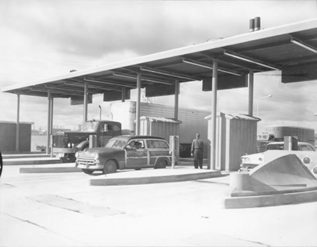
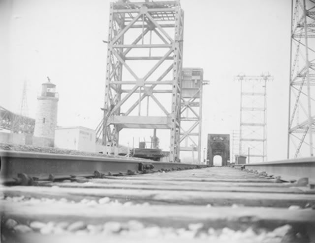
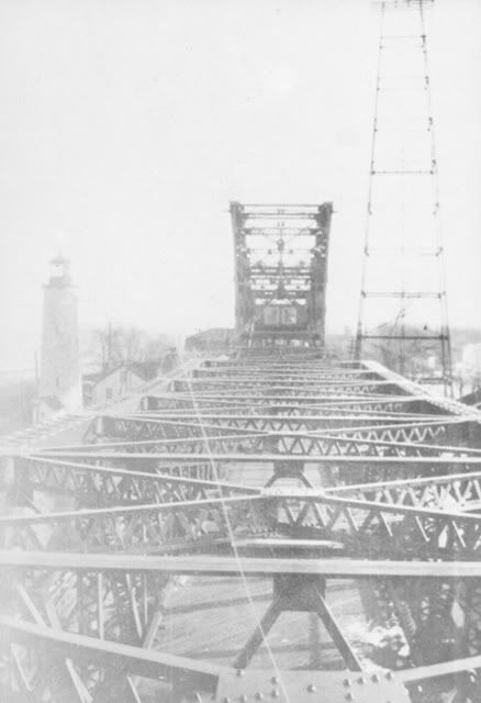
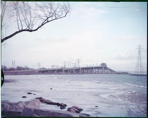
yes folks, we did pay a toll to use the Skyway when it was built..... i don't know how many times I watched my dad throw that coin into the white bucket...
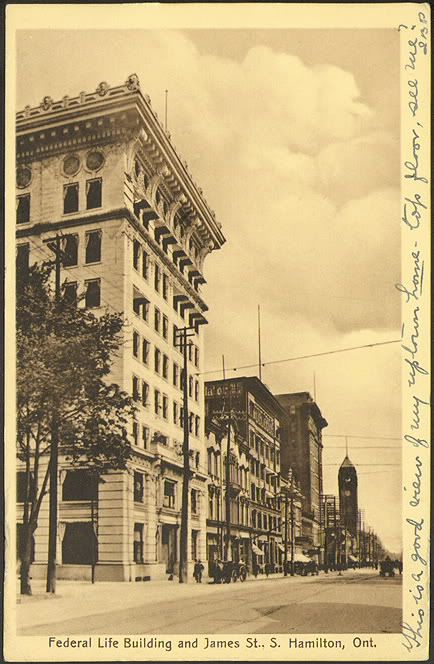
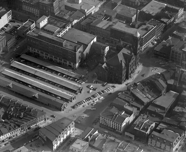
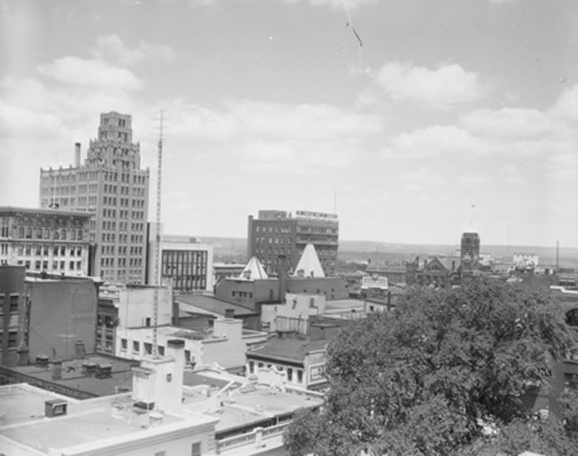
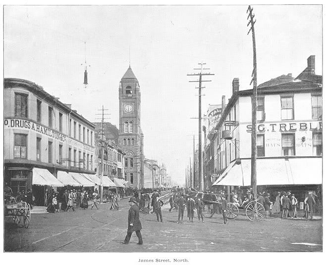
A shot of James from Main looking north with the Federal Life Bldg (yes Federal Life, not Sun Life) as the pic shows.
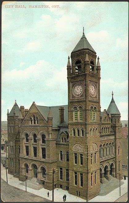
The old City Hall on James South
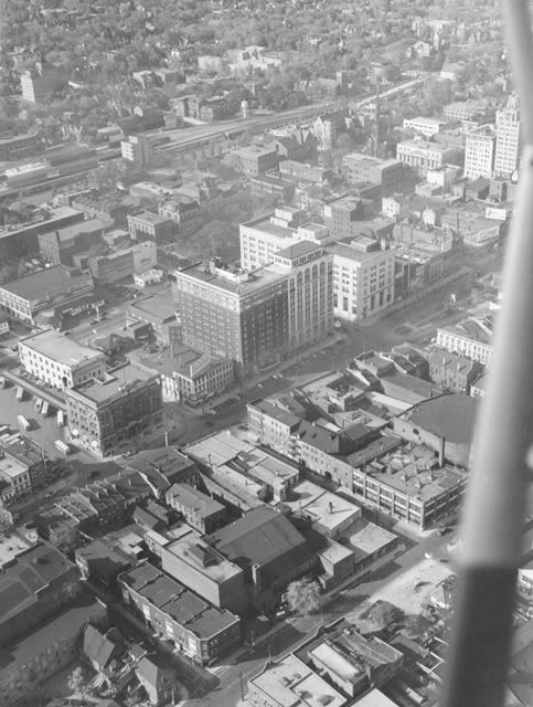
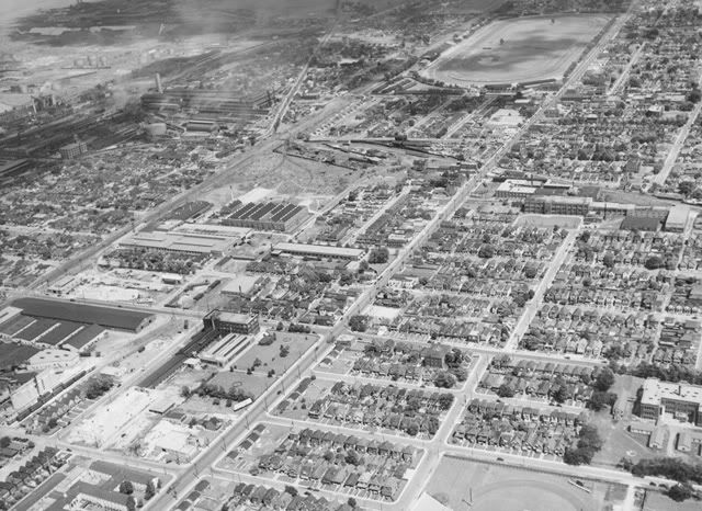
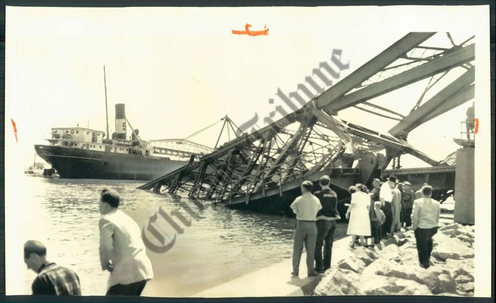
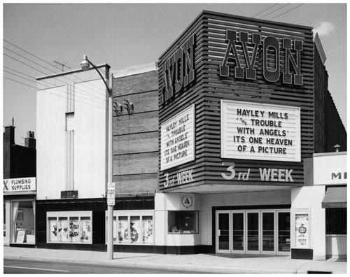
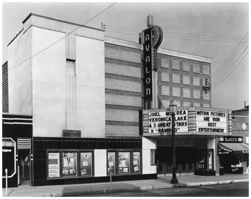
No caption needed for this one.
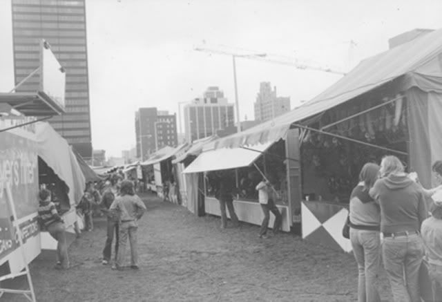
The first Miles For Millions Walk in '67

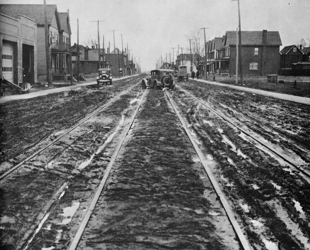
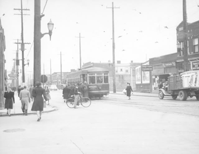
Locke St South.... looking south.
Two photos of the Library on Main west (NORTH side) between
Sun Life and Centenary United Church.... the library would get a grant and
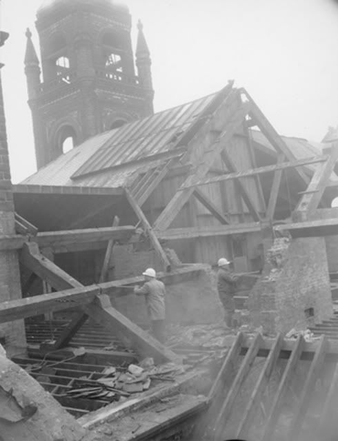
rebuild directly across the street. Second pic is demolition of it.
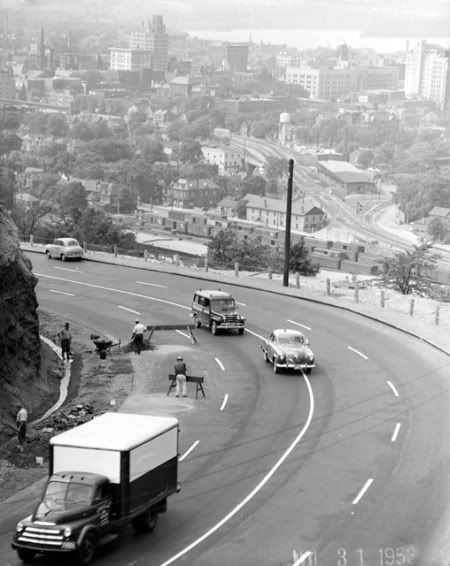
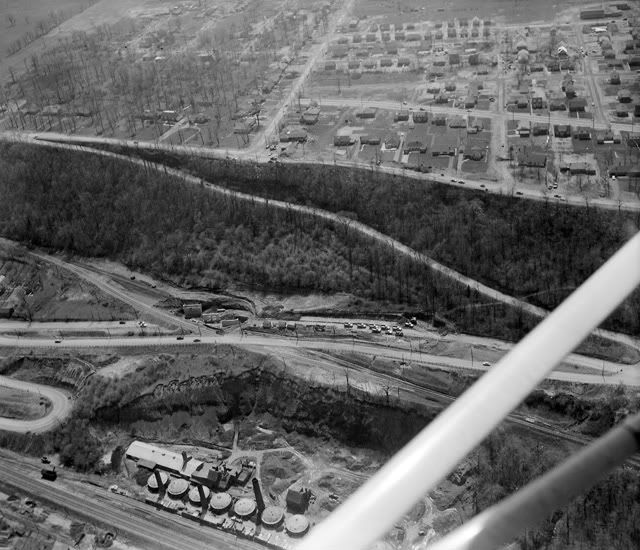
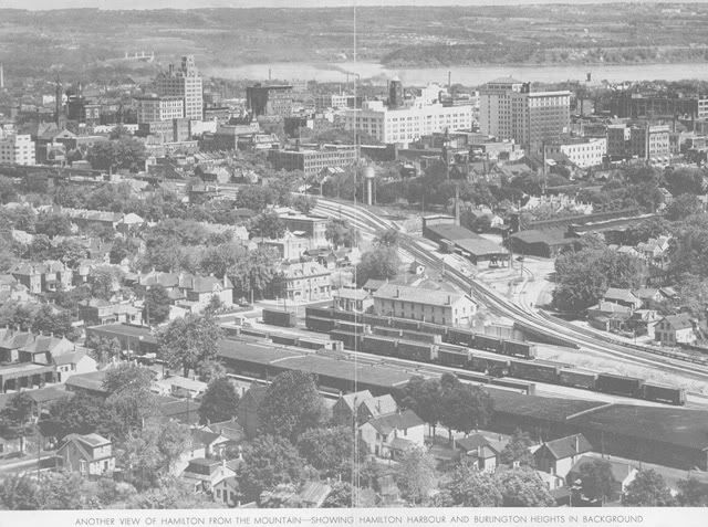
A shot overlooking the Jolley Cut towards downtown.
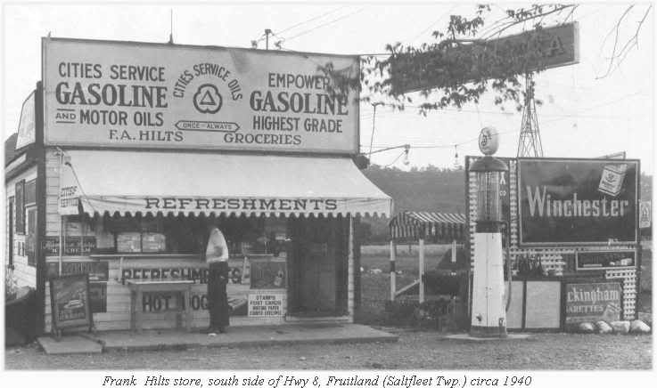
a market along Hwy 8 in Fruitland...
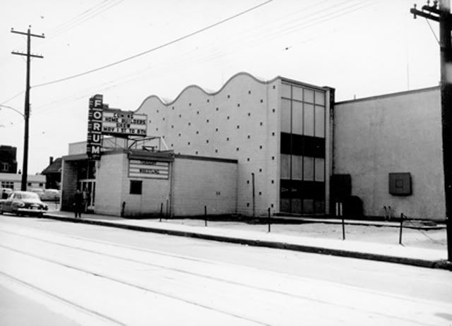
The Hamilton Forum on Barton St.
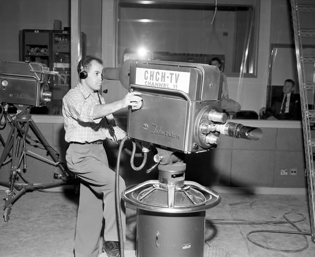
In the early days of CHCH TV....
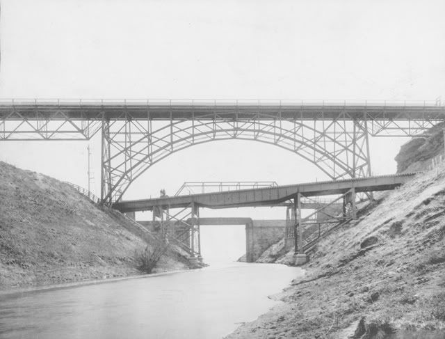
The Desjardins Canal ..... long ago.
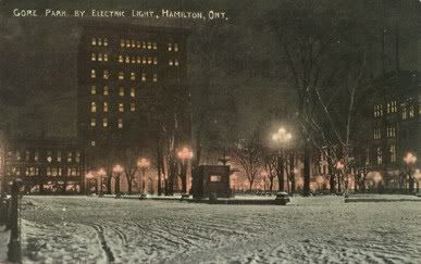
New Years Eve 1902 in Gore Park.... yeah..... we have electricity....
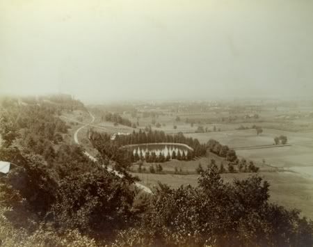
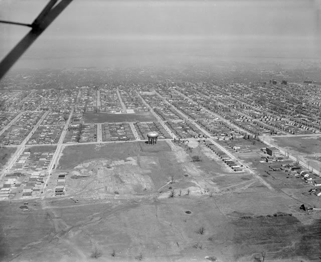
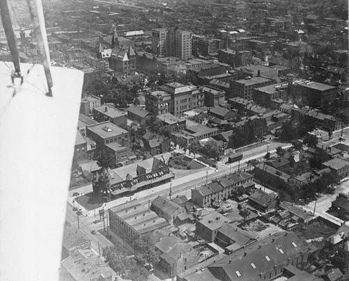
View Looking West Over Reservoir to City - (189?)Scene Along the Proposed Beckett Mountain Drive
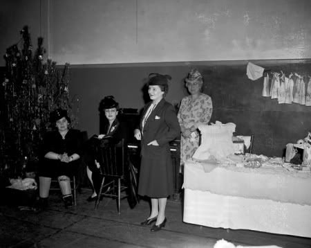
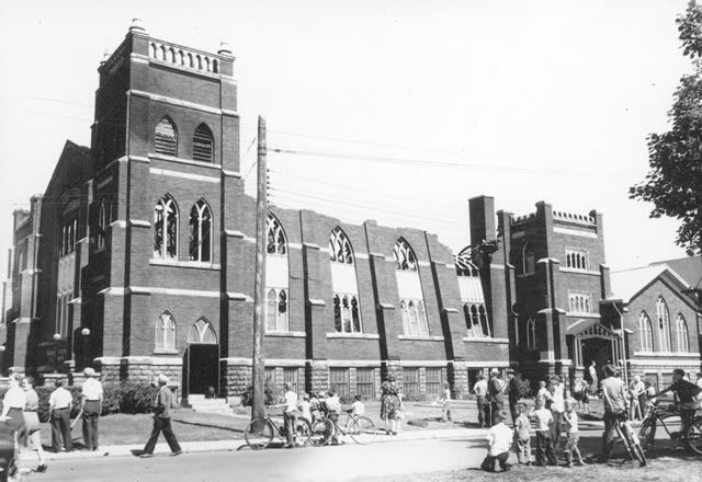
Nora Frances-Henderson opening a bazaar at Trinity Baptist Church.
The church still stands, but closed about 5 years ago.
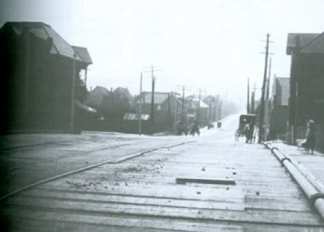
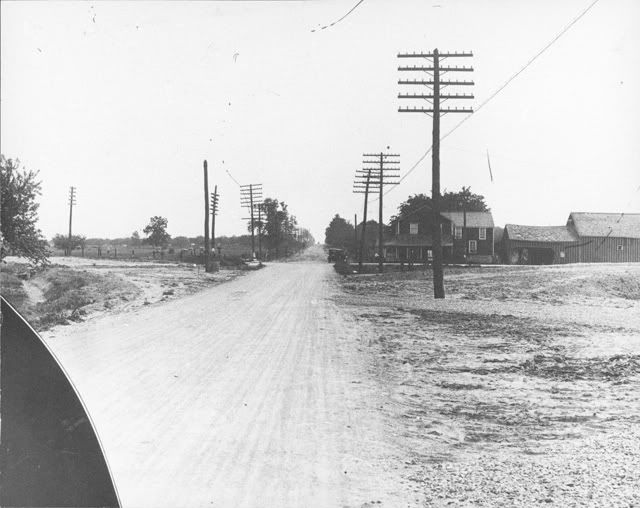
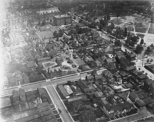
You have to really go back..... find where the cross intersection seems to be... it would be King & Kenilworth.... this was Bartonville.
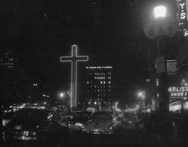
Now go back to 1956... too bad this wasn't in color.... the noteworthy observance of this Gore Park Christmas pic is the Piggot Bldg. Look closely and you will see the crown is illuminated. In this pic it would be red and green and for the rest of the year white.
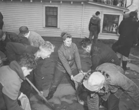
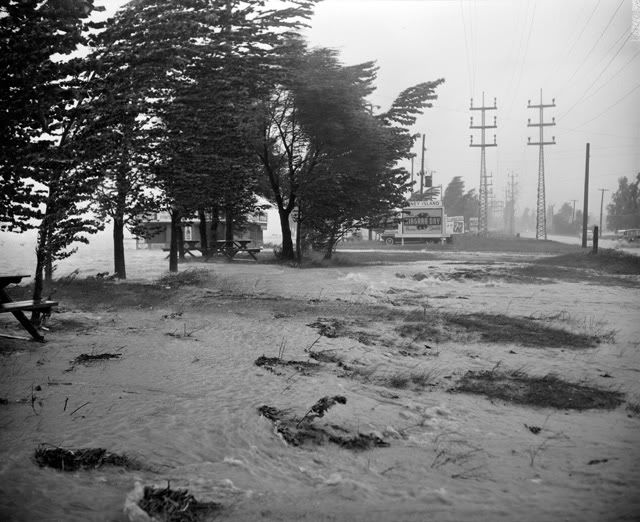
Citizens piling sandbags at Van Wagner's Beach to protect against a freak 1950 storm surge off the lake.
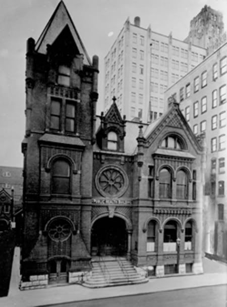
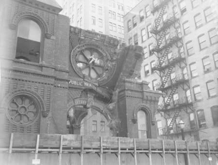
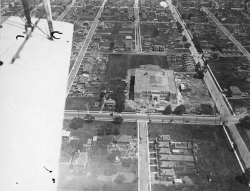
Go back to 1932... the opening day of the public library on Kenilworth Ave.

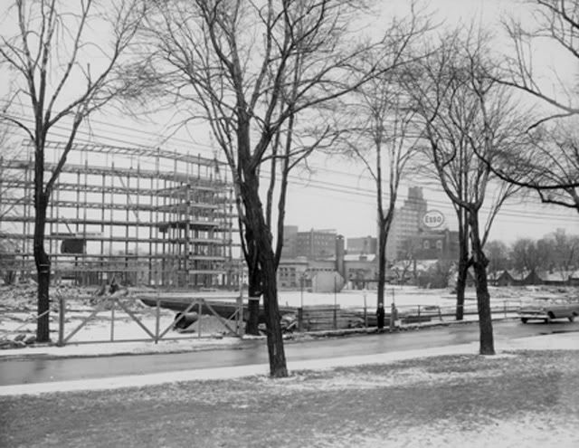
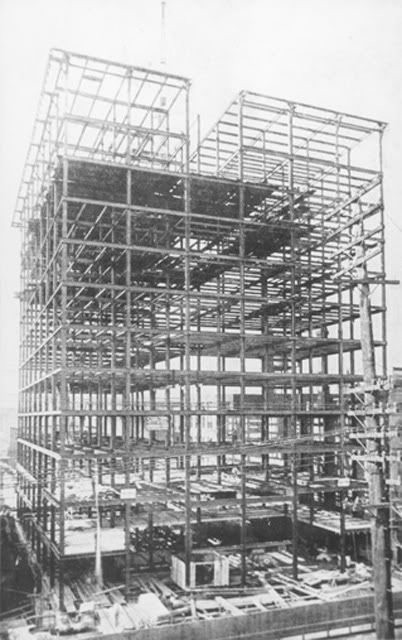
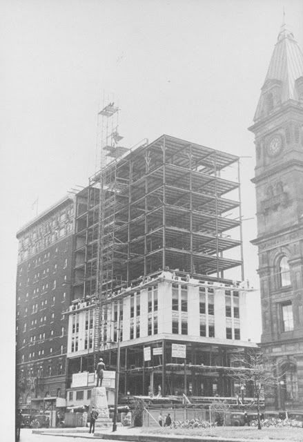
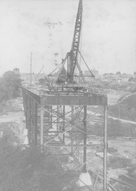
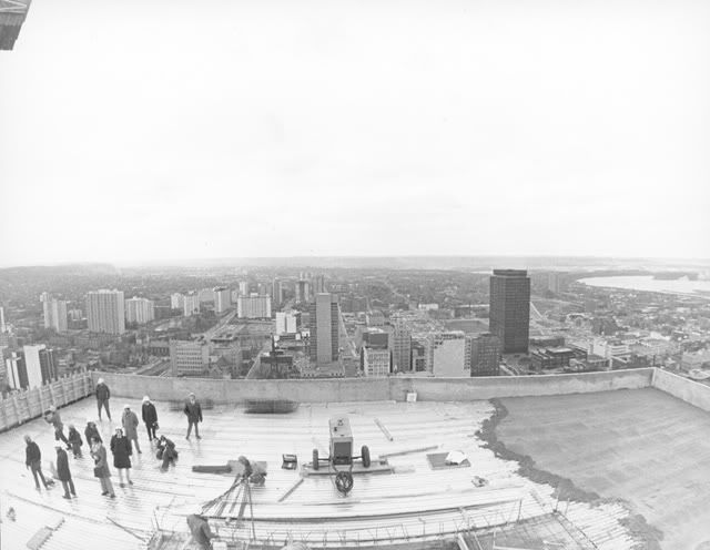
Current City Hall under construction...... in this pic the thing to note is the ESSO sign atop the Y.W.C.A. bldg at Main & McNab (where a current 22 story bldg now stands) How many can remember that ESSO sign once being
a RED FEATHER sign, visible from atop the Dundas Hill.
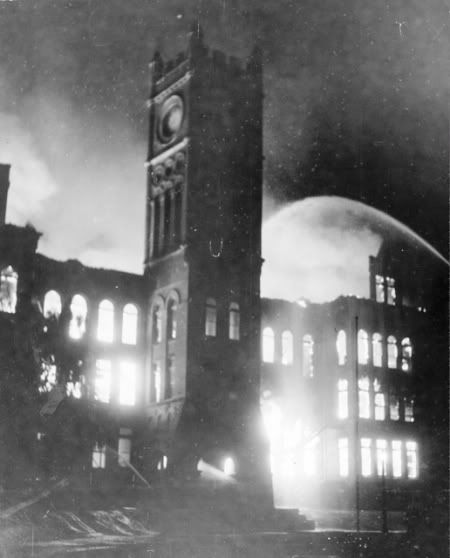
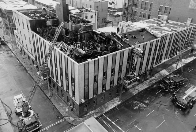
The unforgettable Central Collegiate Fire (it was arson).
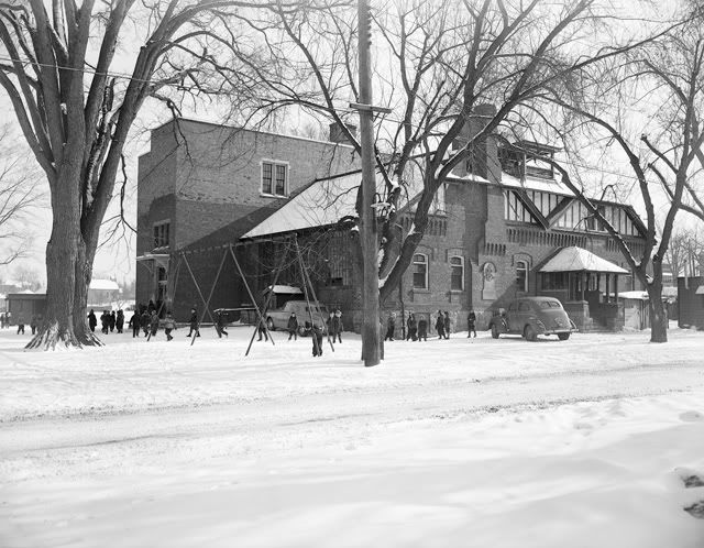
Bartonville Public School at King & Kenilworth.
Finally the Wentworth County Courthouse on the site of the current one..
Main St. E. (south side between John & Hughson)

Well that's it for today.... if any one of you can discover a picture of the Neilson Sign, please post it..... in color would be even better.
(The sign stood where Plains Rd meets Hwy 6 north, and York Bvd.)


 Prev
Prev


 Linear Mode
