Quote:
Originally Posted by Austinlee

Sweet! I can't help but think to myself that that map would be nearly identical to a map of almost all new developments in the city. It's roughly half or so of the city proper but covers nearly all of the new construction.
|
That's no coincidence. This network covers all the most topographically favorable sections of the city. I tend to think of the city less as "North Side" vs "South Side" etc... but instead I conceptualize Pittsburgh as two very different cities based on topography... hills vs. flats
1) Flat riverfront neighborhoods + East End plateau (represented almost perfectly by the Bike Share network): These are neighborhoods of relatively gentle topography that are much more easily develop-able and are home to the city's most dynamic demographics, extensive business districts and hottest property markets. Almost all of the city's bike infrastructure exists in these neighborhoods. These are a mix of traditionally wealthy, leafy East End neighborhoods, up-and-coming rowhouse and warehouse neighborhoods that have rebounded from the steel hangover (S. Side Flats, Strip/Lawrenceville, Bloomfield, Mexican War Streets, etc.), and centrally-located revitalized transport/retail hubs (East Liberty).
2) Rugged hilltop / ravine neighborhoods: These areas dominate the northern half of the North Side, the West End, everything south of the Mon except for the SouthSide Flats, Hill District, etc.. These are neighborhoods with difficult access and limited development potential due to extreme topography. While there are occasional high-priced properties due to sweeping vistas, most of these areas are stagnant. Low values, low incomes, older, etc. These neighborhoods are largely un-bike-able except for advanced cyclists (think of the "Dirty Dozen" race that takes place on the steepest streets in the city). Business districts are mostly small to non-existent (though the South Hills has some notable stretches). The neighborhoods are quiet residential havens with little to no development momentum. Landslides and subsidence threaten many properties.
As a Deutschtown resident... I've observed this dichotomy in my own life. While the North Side often tries to portray a 'unified front' of 18 neighborhoods... Old Allegheny City... as a resident of the flat part of the North Side next to Downtown... I find my life is far more plugged in to Downtown, Strip, Lawrenceville, South Side and East End than the hilltop neighborhoods of the North Side. Fineview may be a literal stone's throw from my place... but I can't remember the last time I've been up there.
Other than Riverview Park... what reason would compel most people from Deutschtown, Mexican War Streets, Manchester, etc. to travel up the hills into Perry, Fineview, Marshall-Shadeland, Spring Hill, etc.?
Of course, this is an asymmetrical dynamic. Since almost all the attractions and businesses are located in the flat neighborhoods... the hilltop residents have many reasons to come down to the flat neighborhoods.
Btw... this is not to denigrate hilltop neighborhoods... the hills define Pittsburgh's character. The relentless topography is problematic in many ways... but I certainly wouldn't give it up to be some generic Midwestern city with lots of room for exit ramps. lol


 Prev
Prev


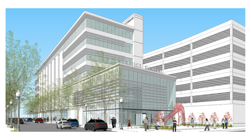
 The new cancer center at AGH has proposed some metal screening around the parking garage, which could be cool, but I'm thinking over time it will look like rusted chain link fencing.


 Linear Mode
