Sacramento is the 35th largest city in the United States by population (478,000) and is the largest city of the Sacramento-Roseville Combined Statistical Area in Northern California (the 22nd largest metro area in the United States). It is the capital city of California. Its downtown adjoins the Sacramento River and is dominated by the Capitol Mall which leads to the Capitol building. The area's orderly grid street system is developed most densely just North of the Capitol building, and government buildings are scattered throughout. A considerable amount of historic buildings coexist with modern ones in what is a mostly pleasant (if not lively) downtown.
This thread will focus on the Sacramento riverfront adjacent to downtown, as well as Old Sacramento. The historic era thread will focus on buildings up to the Art Deco period in the larger part of downtown away from the riverfront and can be seen here:
http://forum.skyscraperpage.com/showthread.php?t=211450 The modern era thread will focus on buildings from the International Style to the present in the larger part of downtown, away from the riverfront, and can be seen here:
http://forum.skyscraperpage.com/showthread.php?t=211473
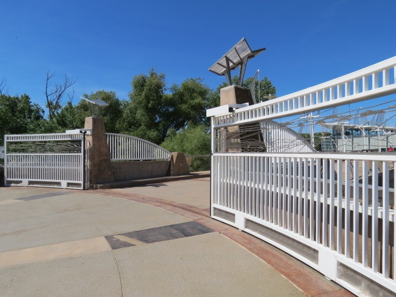
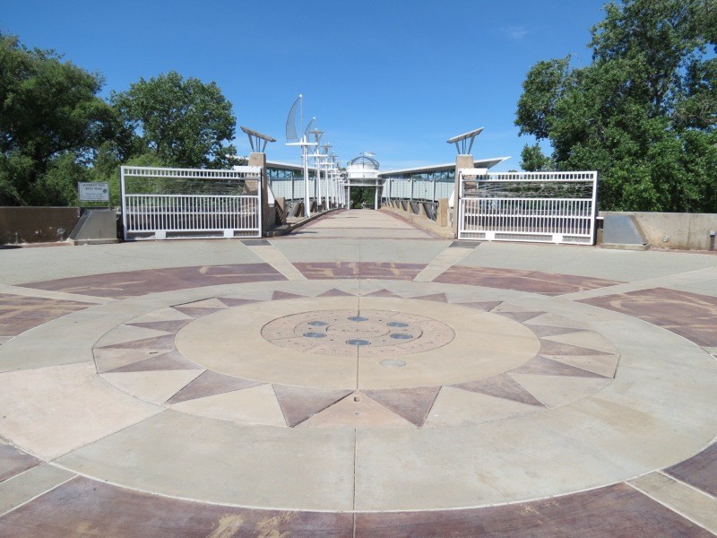
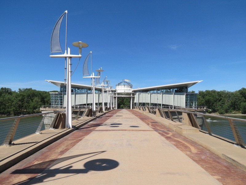
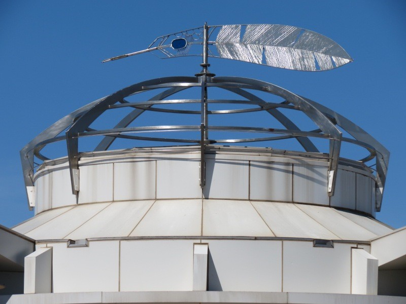
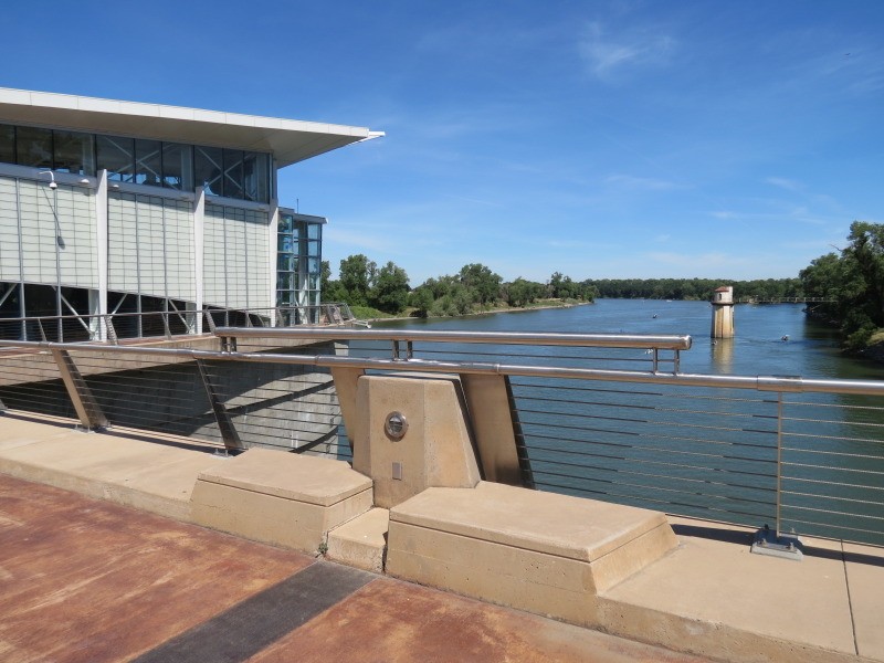
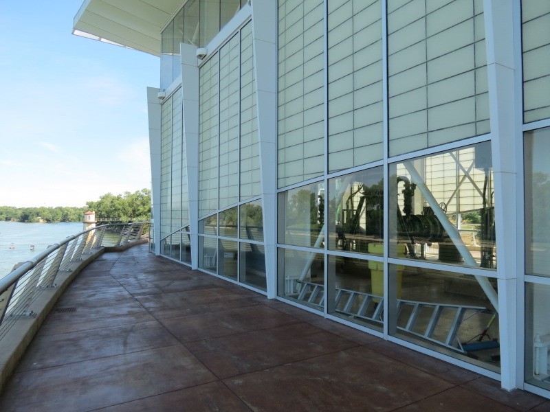
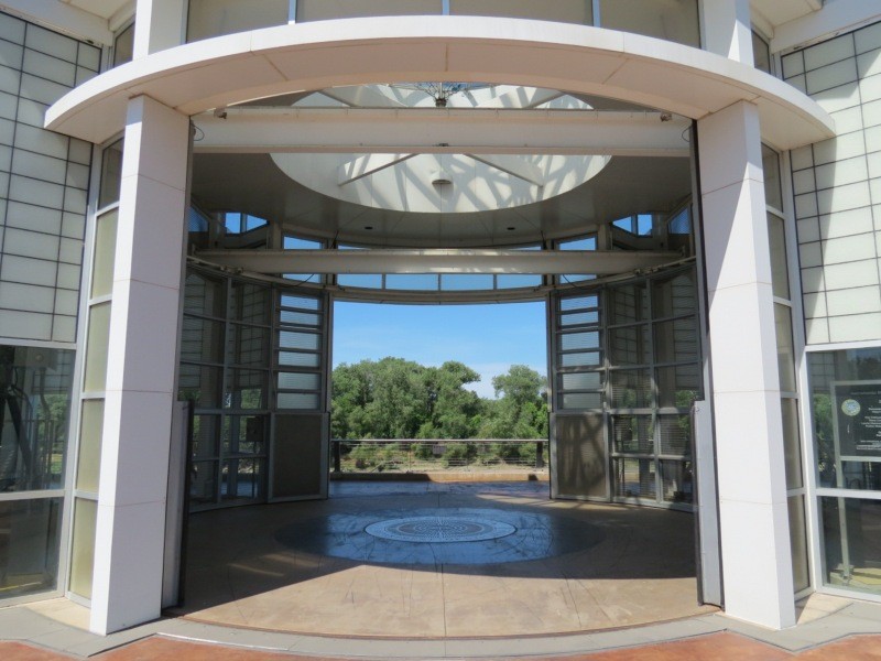
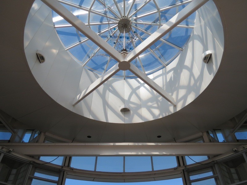
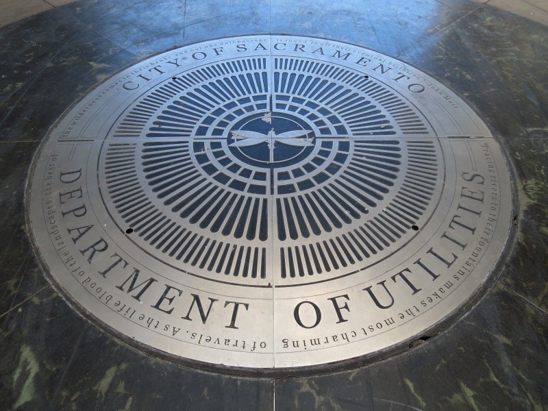
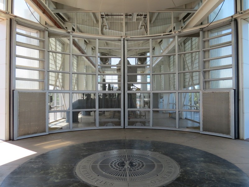
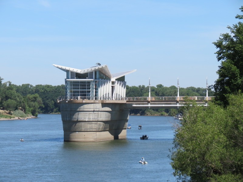
Sacramento River Water Intake Facility:
Just North of the downtown riverfront is this attractive utility structure that was designed for public access.

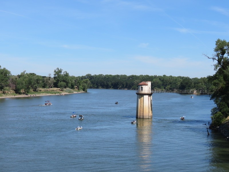
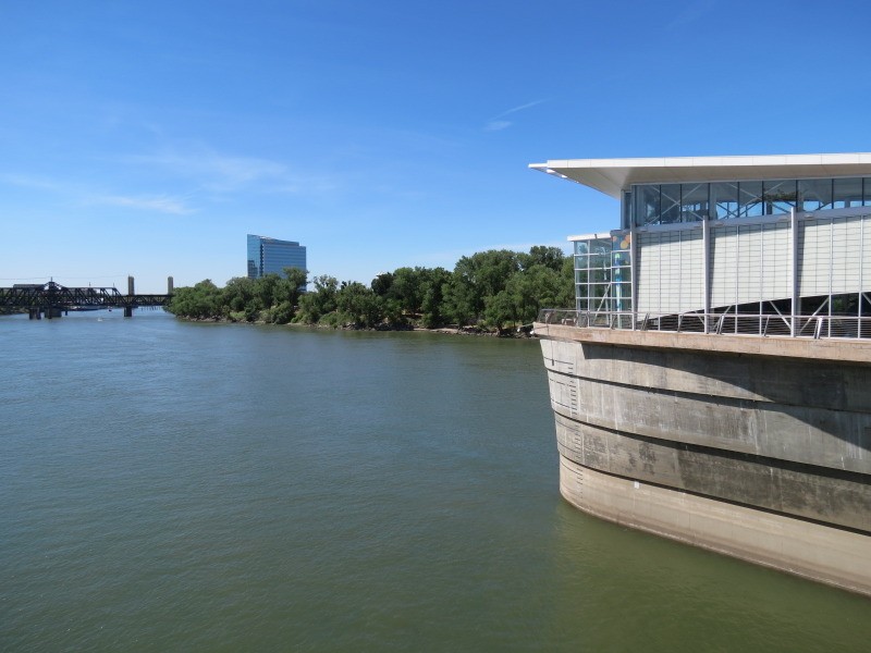
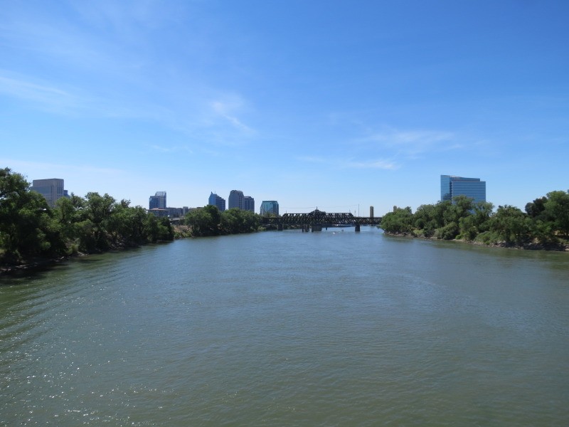
View South on the Sacramento River:
Downtown is on the left, West Sacramento is on the right.
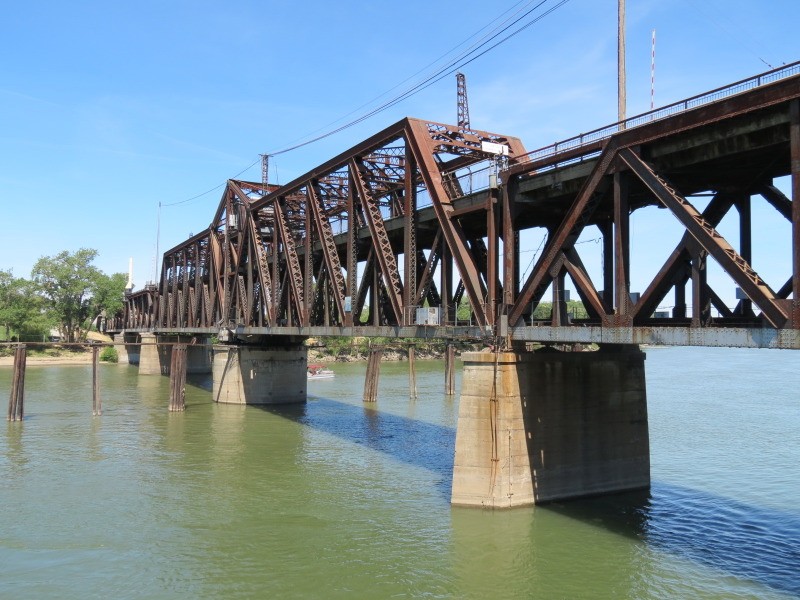
I Street Bridge, 1911:
The upper level is for automobiles and the lower level is for rail, including Amtrak as it travels to the San Francisco Bay area.
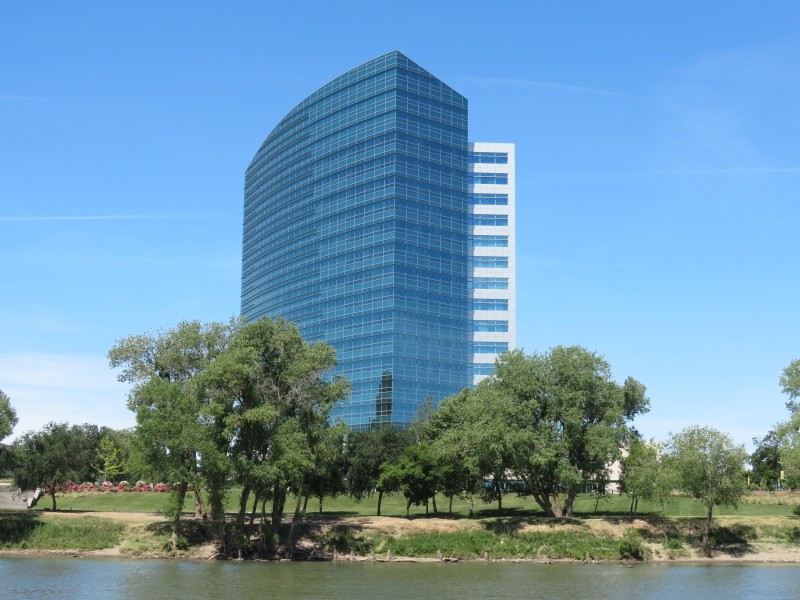
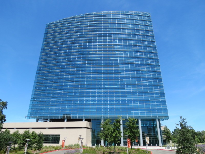
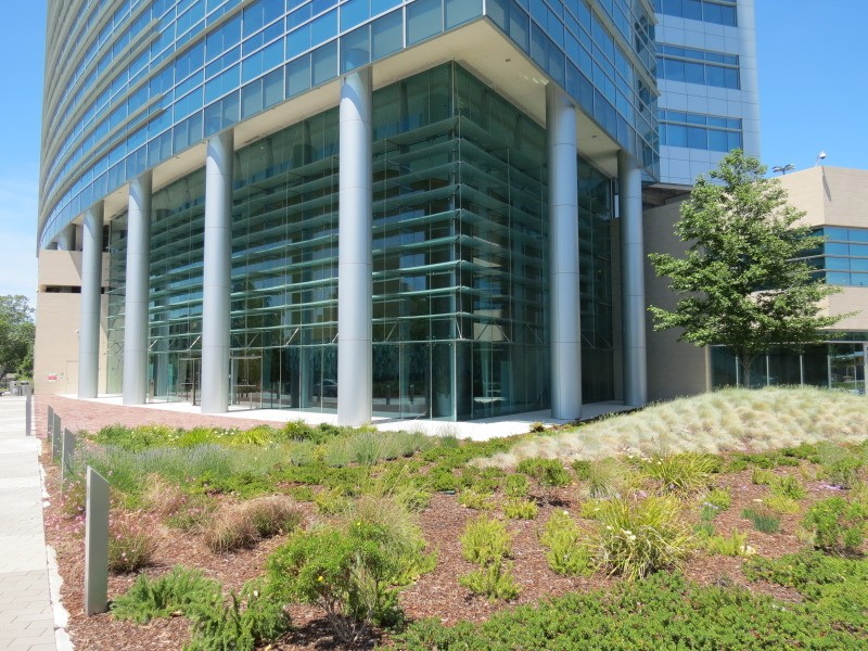
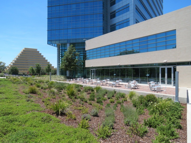
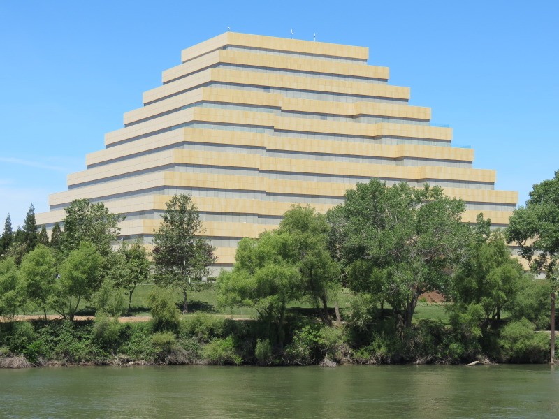
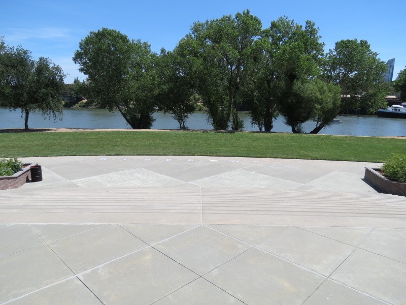
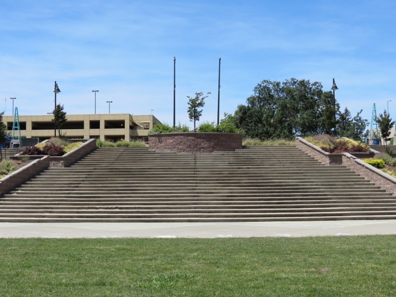
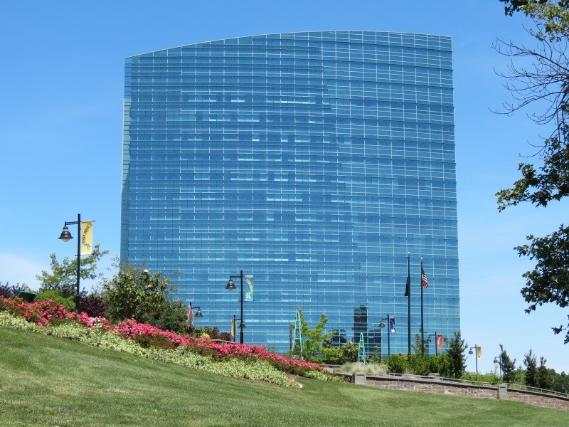
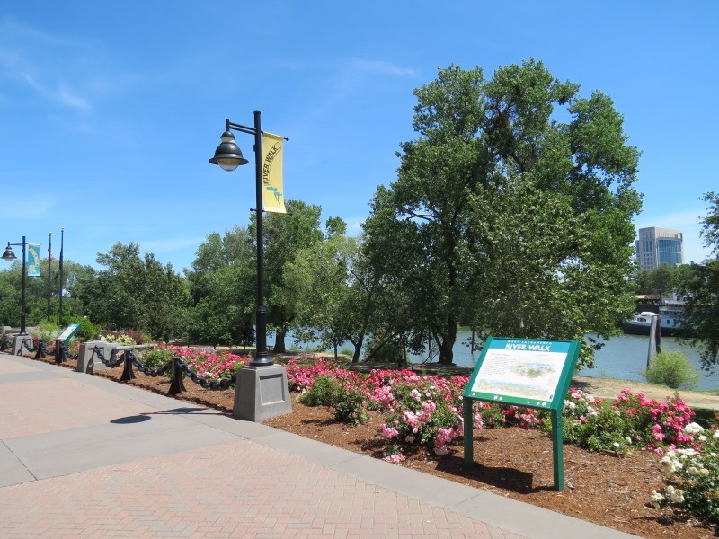
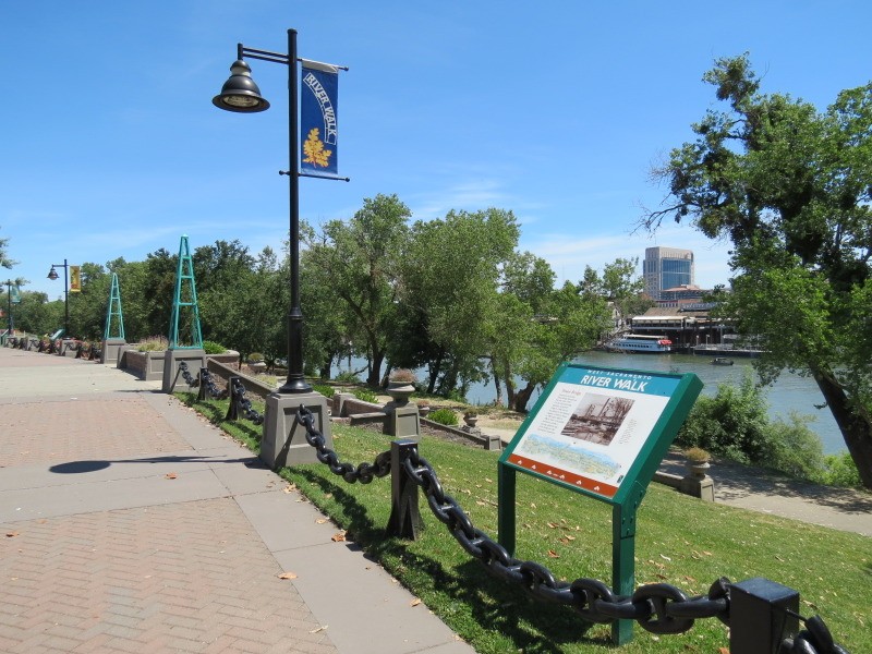
River Walk Park:
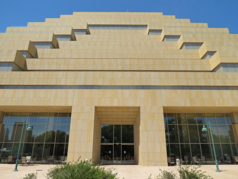
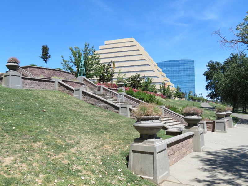
This promenade is actually in the city of West Sacramento, just across the Sacramento River from downtown. A few large office buildings front the park, including the CalSTRS (California State Teachers' Retirement System) headquarters from 2009 and the Ziggurat Building from 1998.
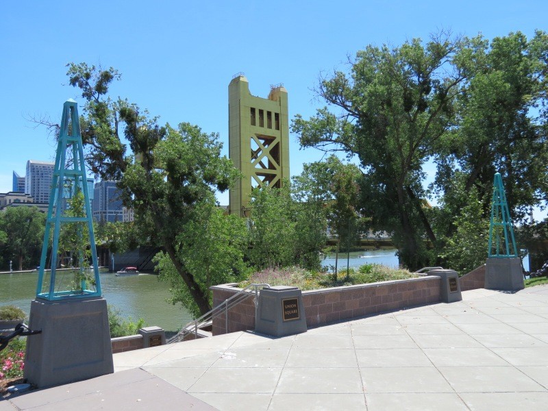
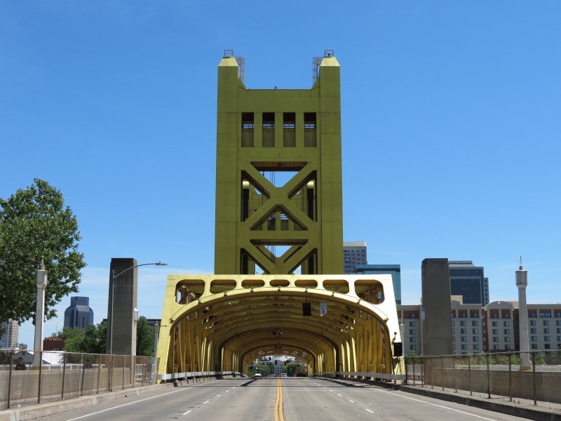
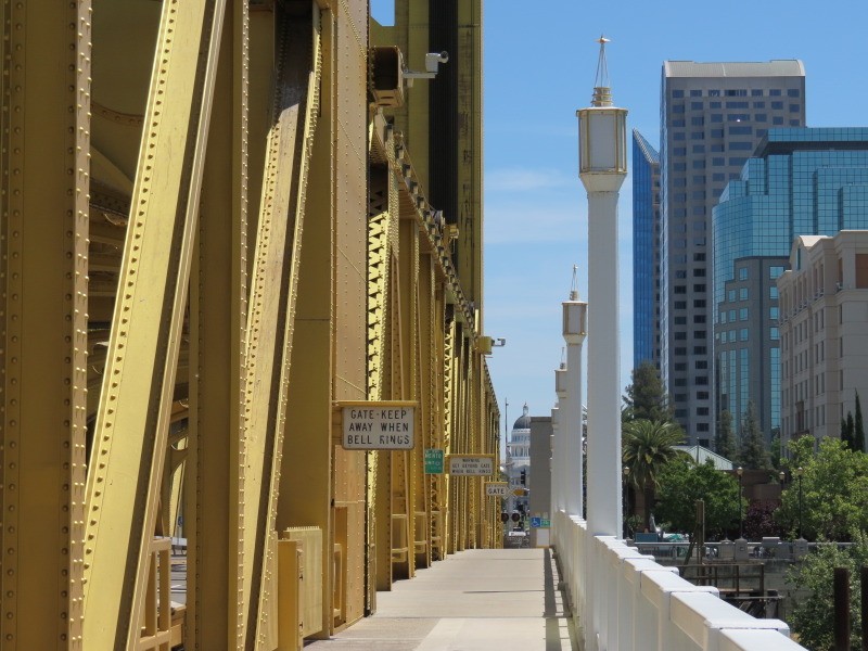
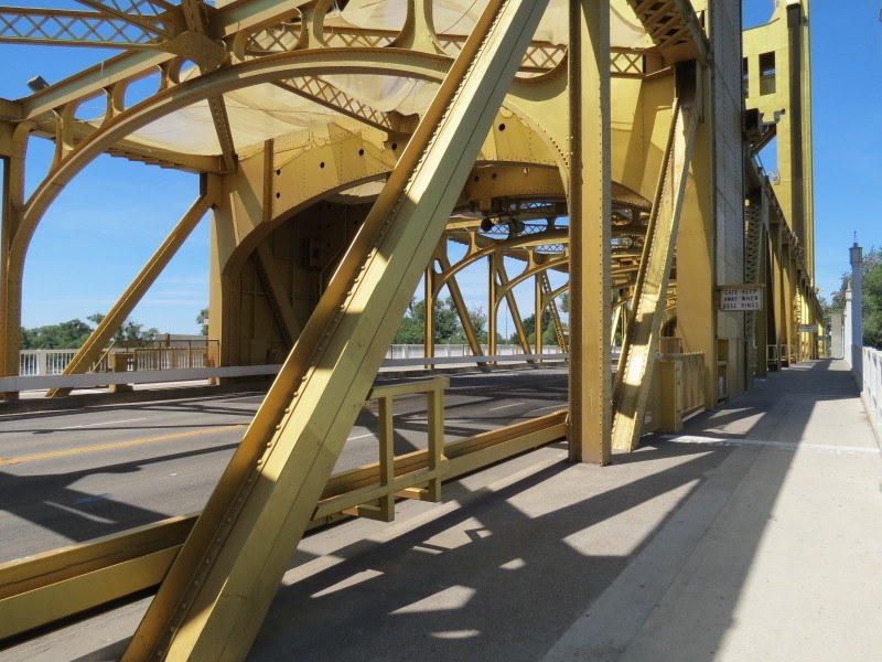
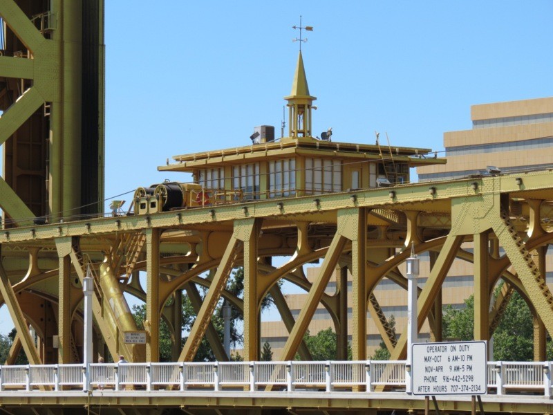
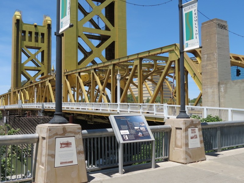
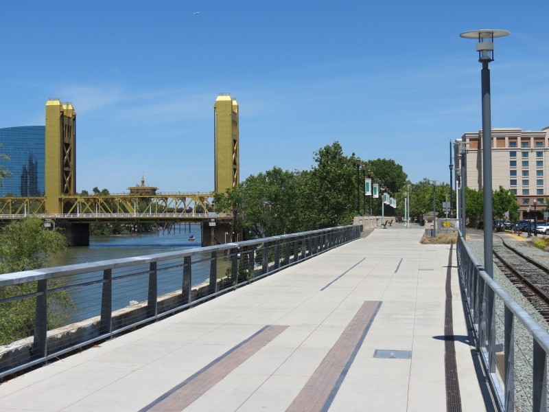
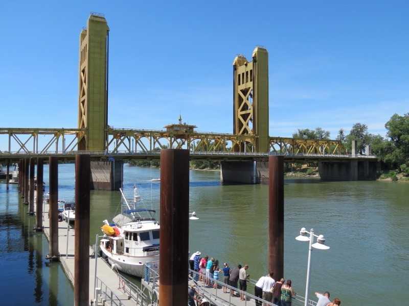
Tower Bridge, 1935:
This vertical lift bridge carries automobile and pedestrian traffic across the Sacramento River from West Sacramento to downtown where it forms one end of the Capitol Mall.
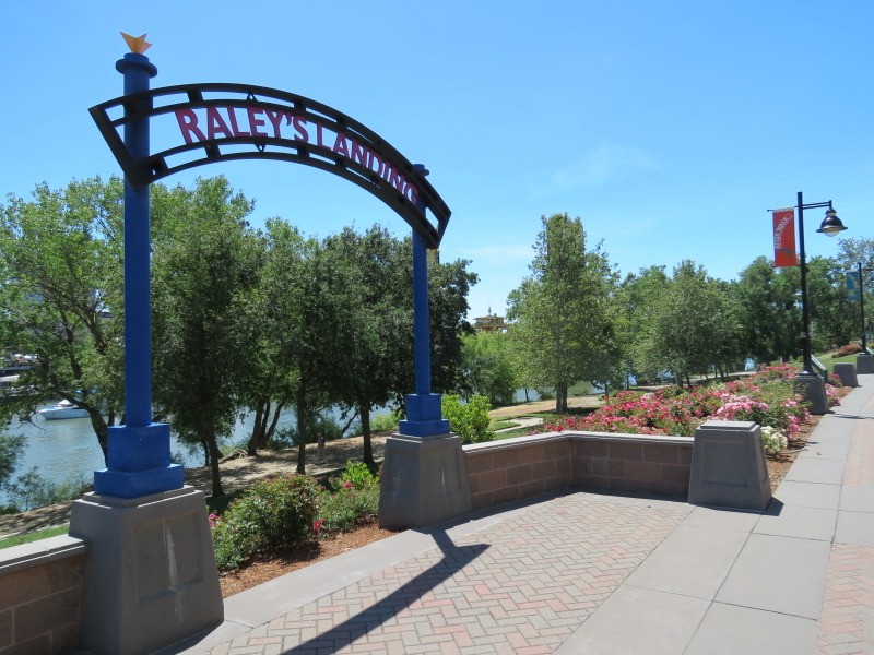
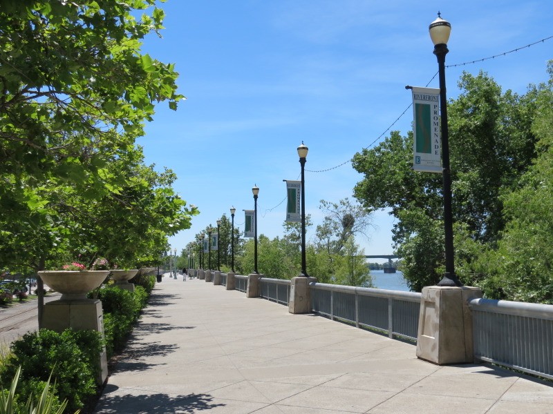
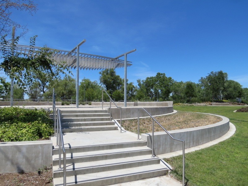
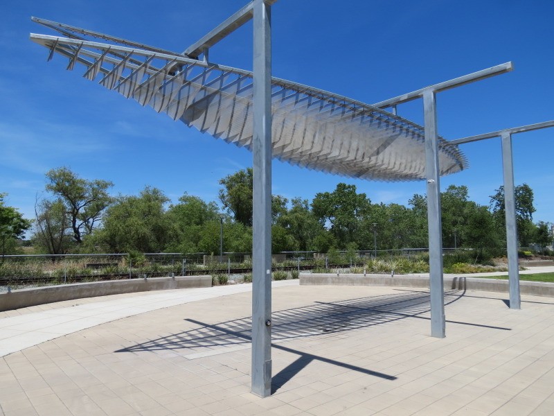
Riverfront Promenade:
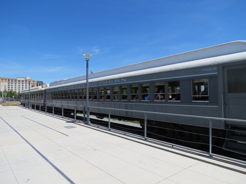
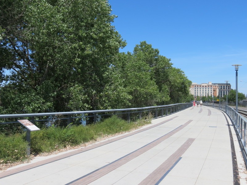
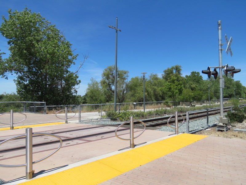
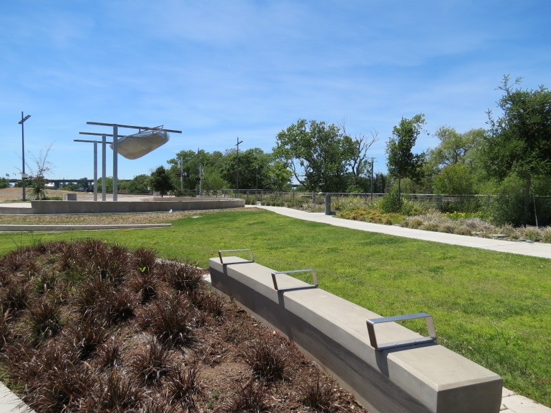
A path leads South from Tower Bridge on the downtown side of the river; its finished development ends with a small park with a modern shade structure about 1/3 of a mile away, while the unpaved path continues South out of the downtown area. A parallel train track runs along its length for historic railroad excursions that originate at Old Sacramento, featured later in this thread.
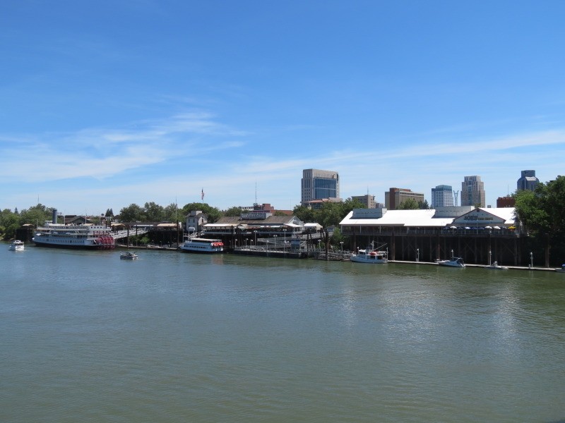
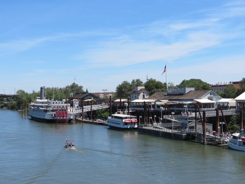
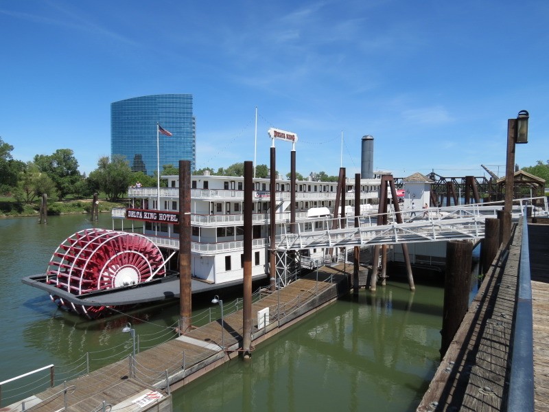
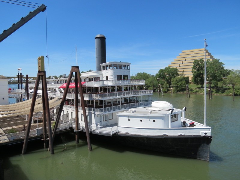
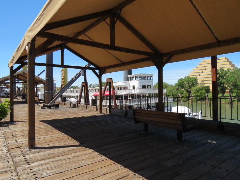
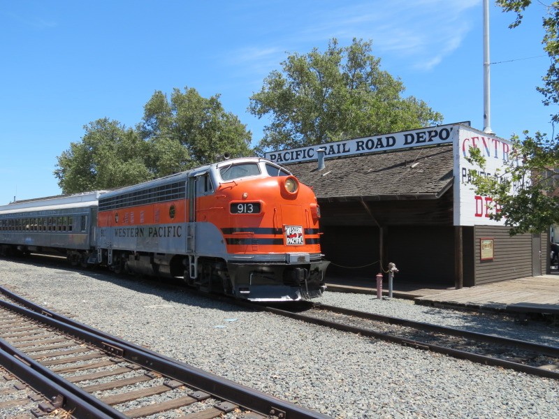
Old Sacramento Riverfront:
North of Tower Bridge is a riverfront composed of pleasure boat docks, a boardwalk, a few restaurants, a permanently-moored riverboat hotel, and recreated/rebuilt historic railroad buildings that serve as the boarding point for historic railroad excursions that travel in the area.
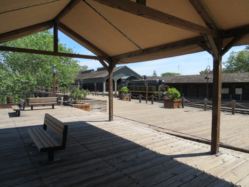
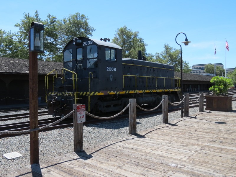

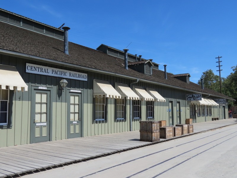
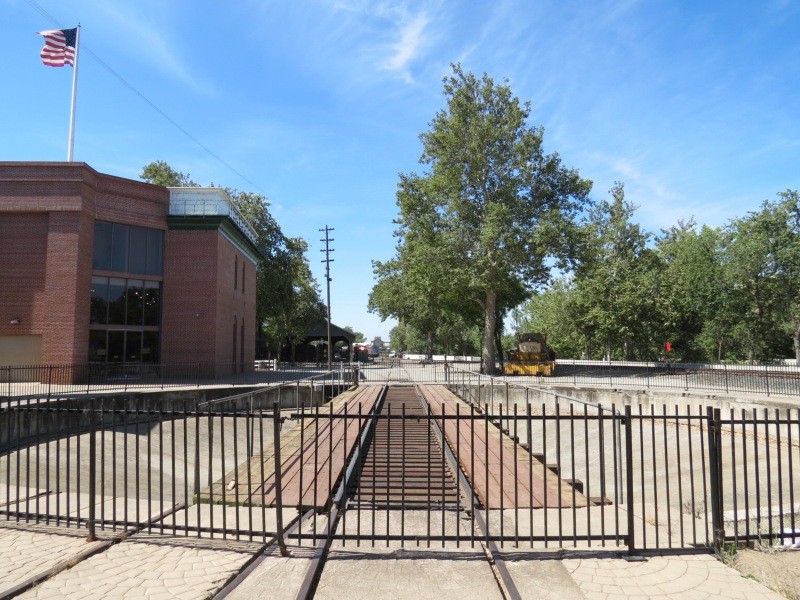
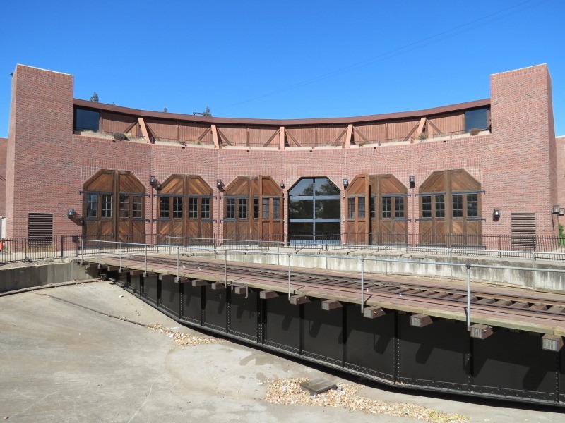
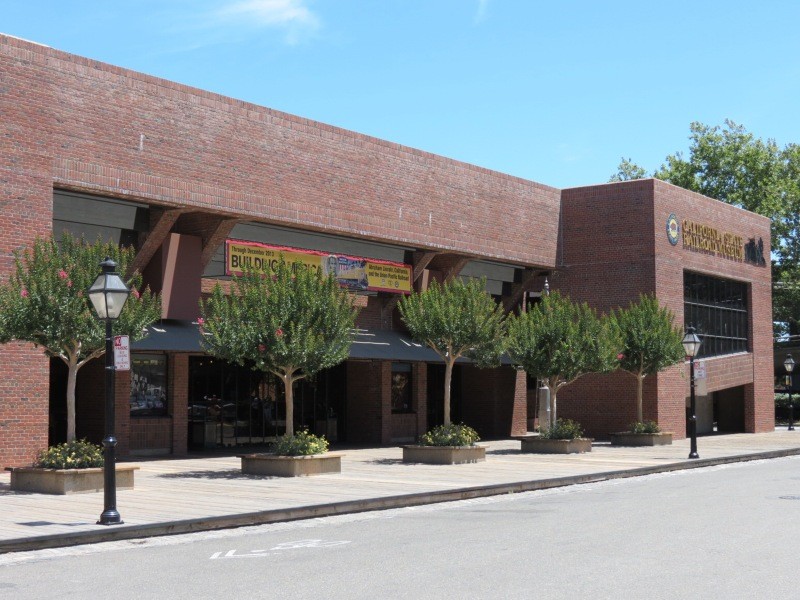
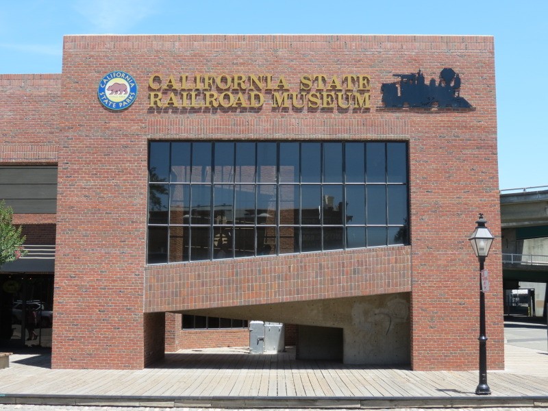
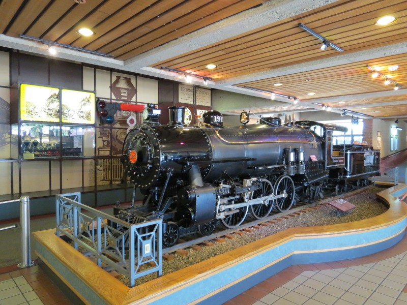
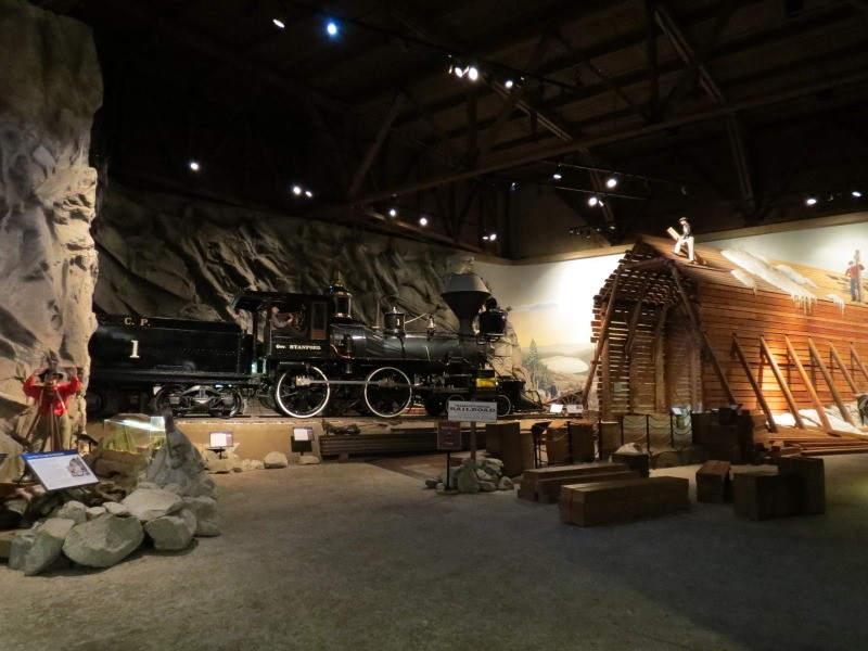
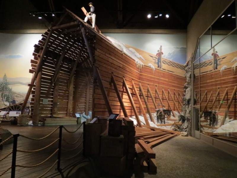
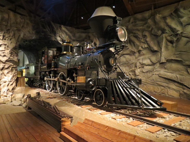
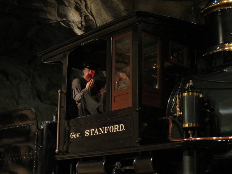
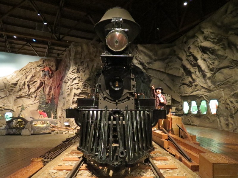
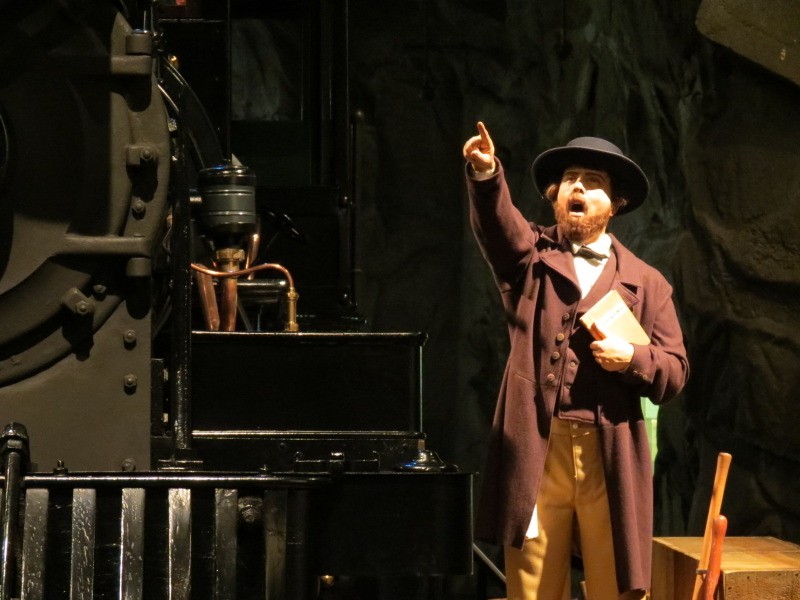
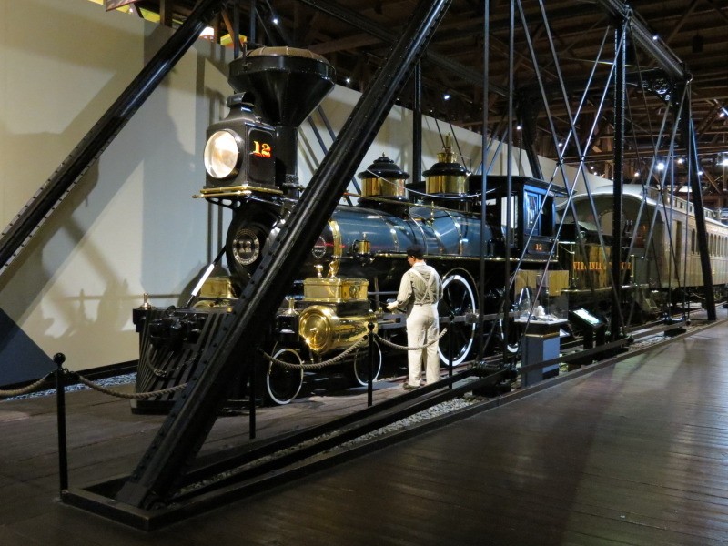
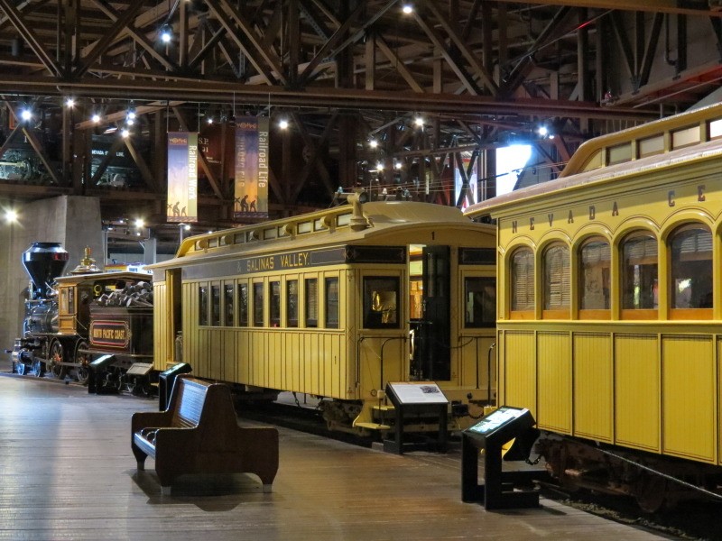
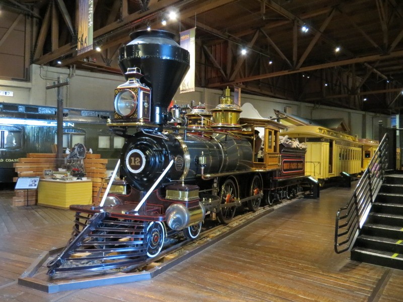
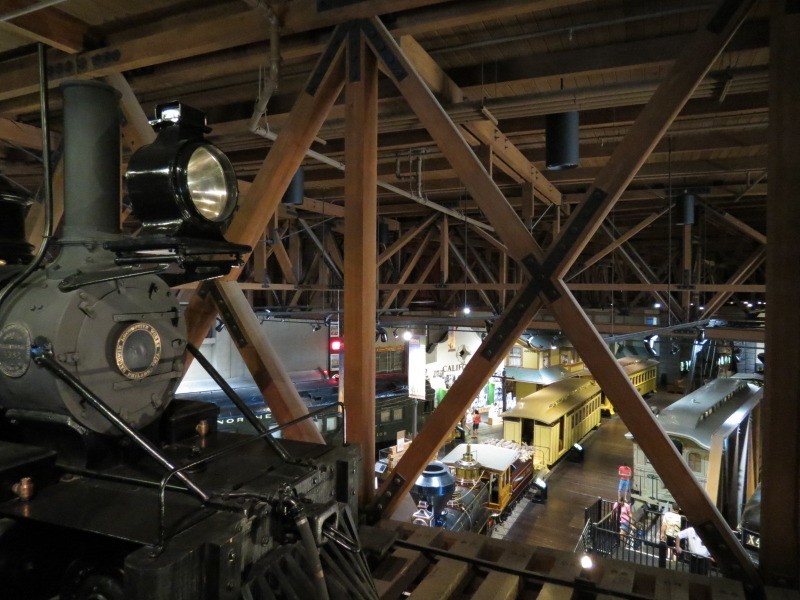
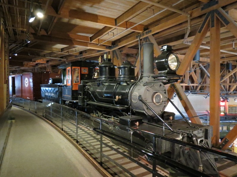
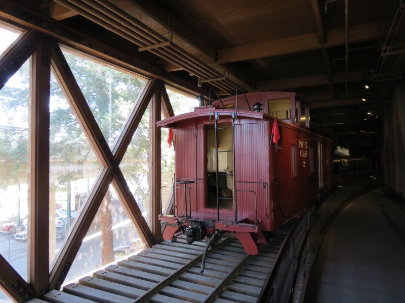
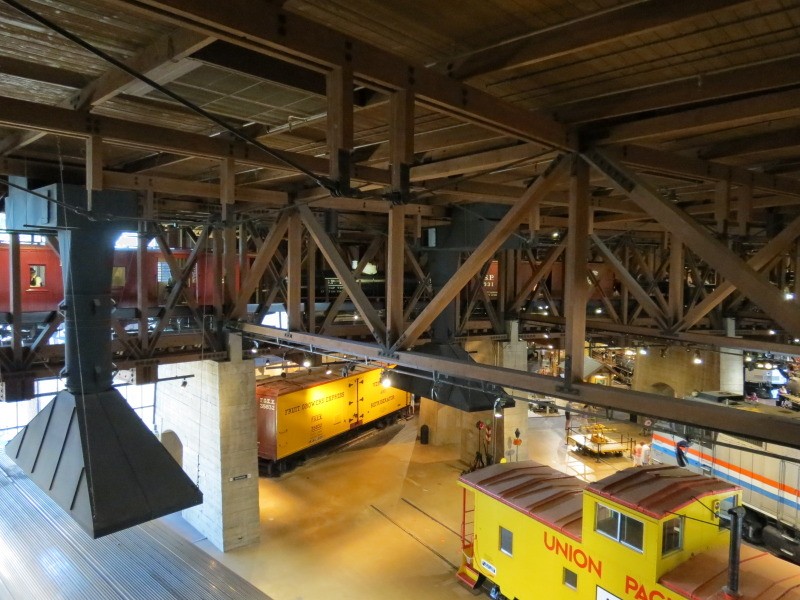
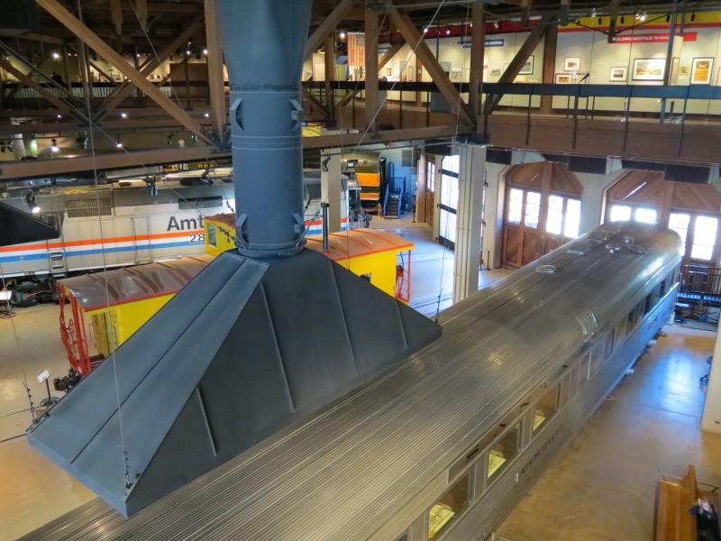
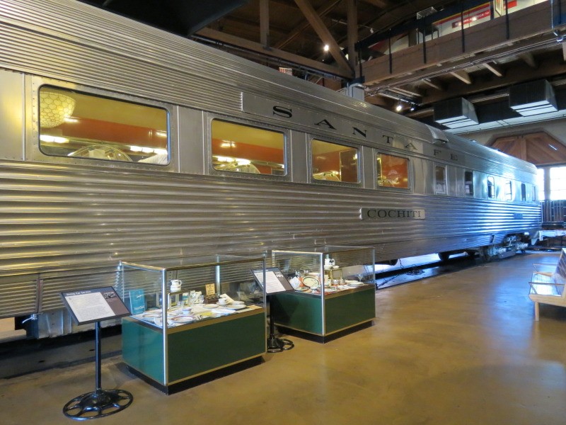
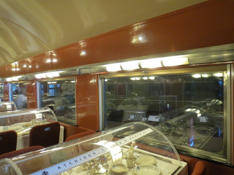
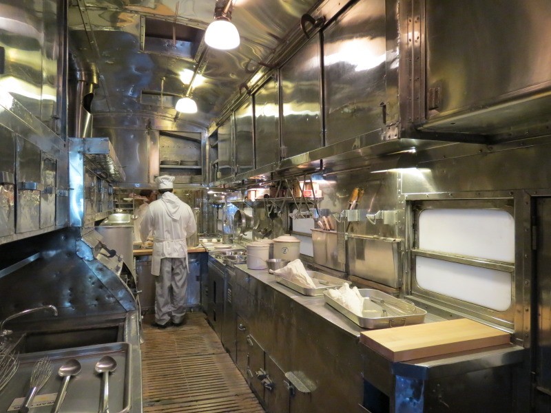
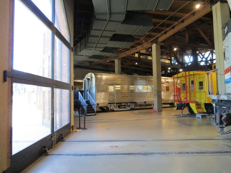
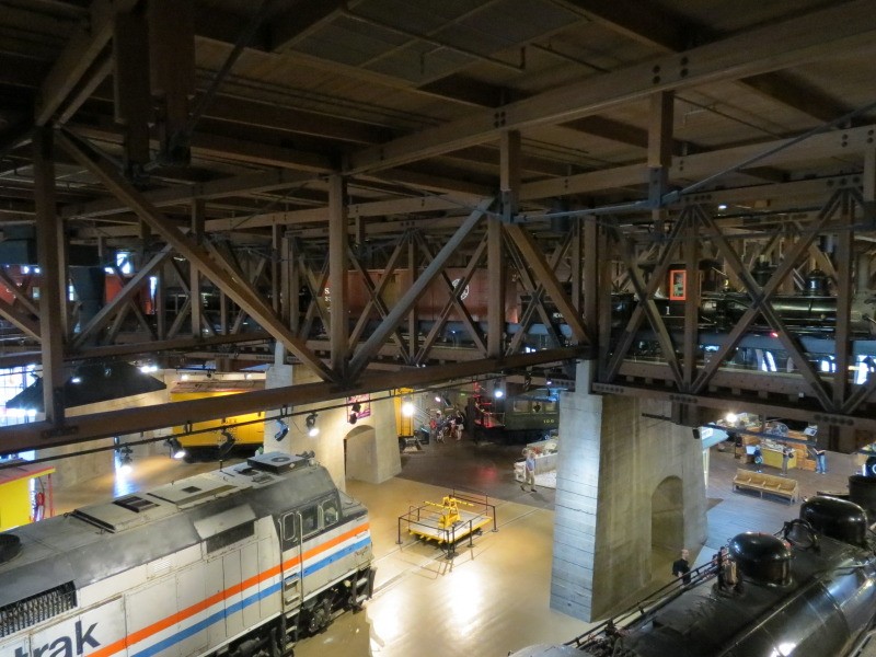
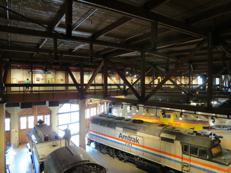
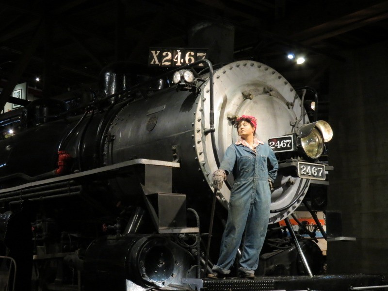
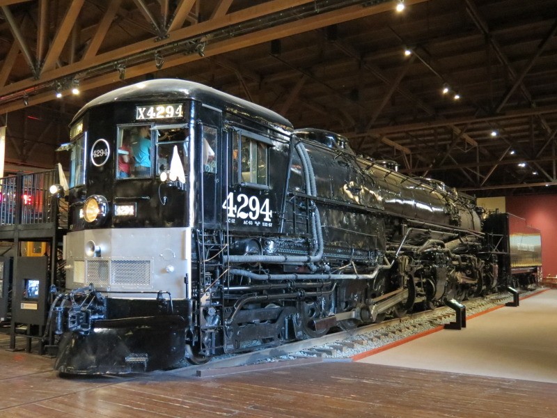
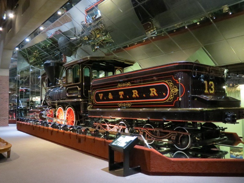
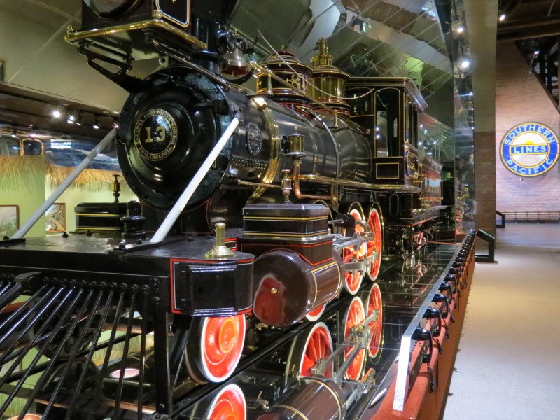
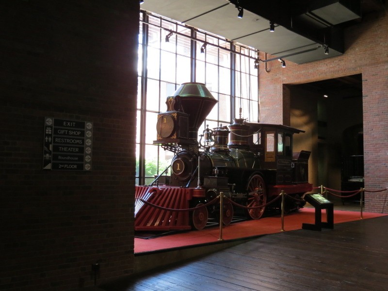
California State Railroad Museum, 1981:
One of the jewels of the city is this respected institution that is brimming with historic railroad engines and cars presented in a modern building that emulates utilitarian buildings including an operational roundhouse with a turntable. It is located on the edge of Old Sacramento and it operates the historic excursion train rides mentioned earlier. Its location in the city makes sense since Sacramento was on the route of the First Transcontinental Railroad completed in 1869.

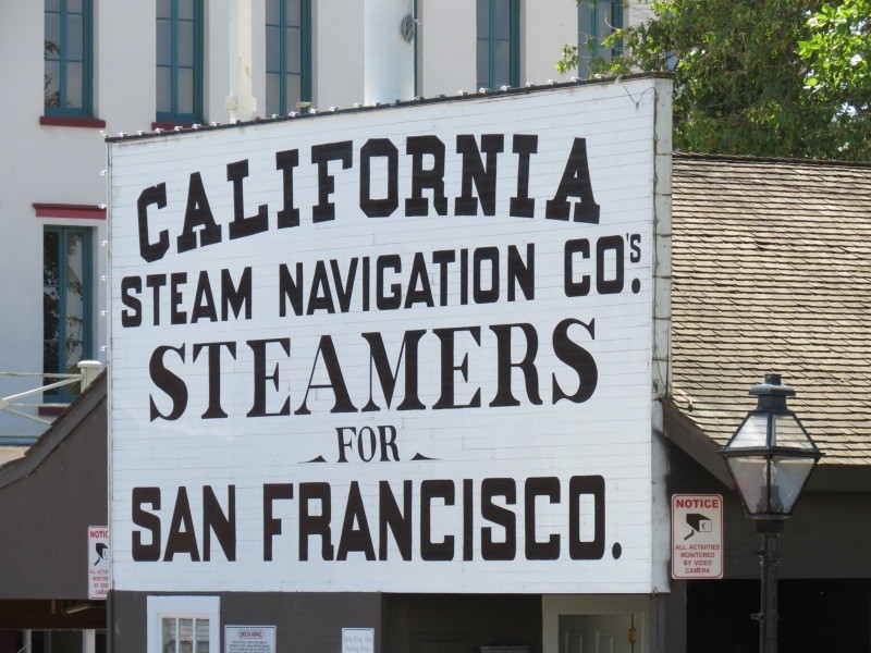
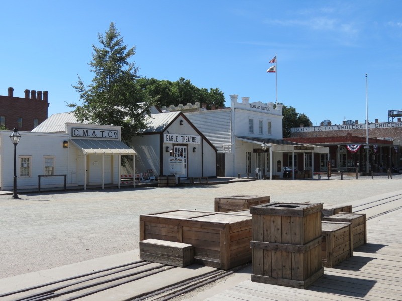
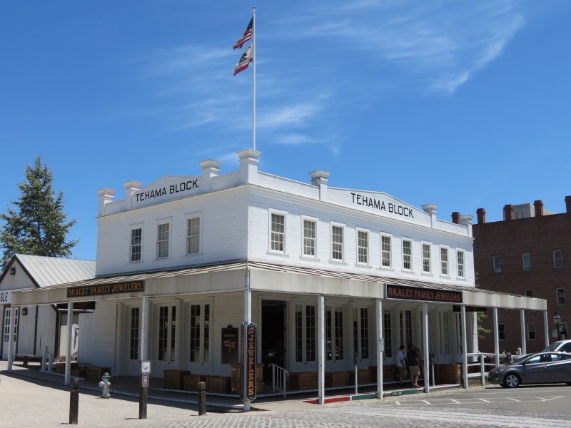
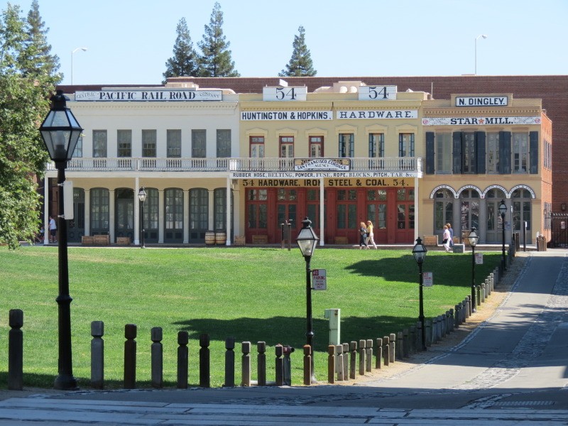
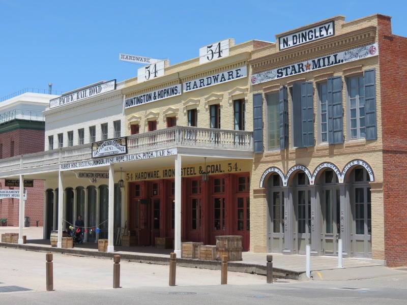
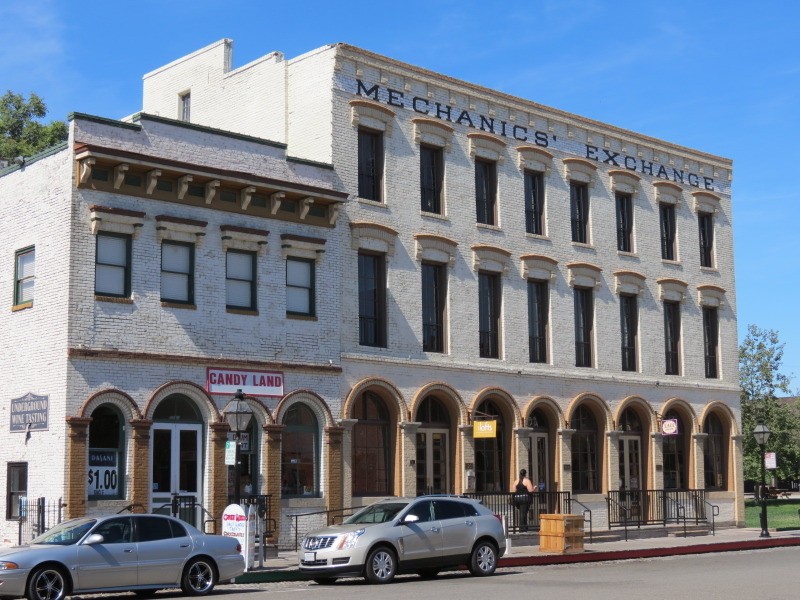
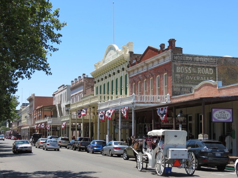
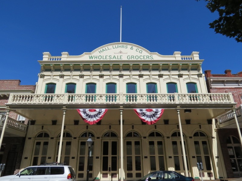
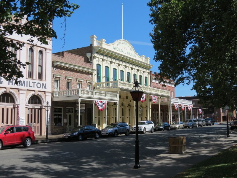
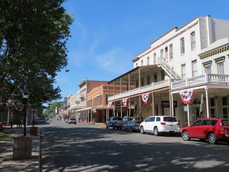
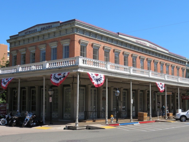
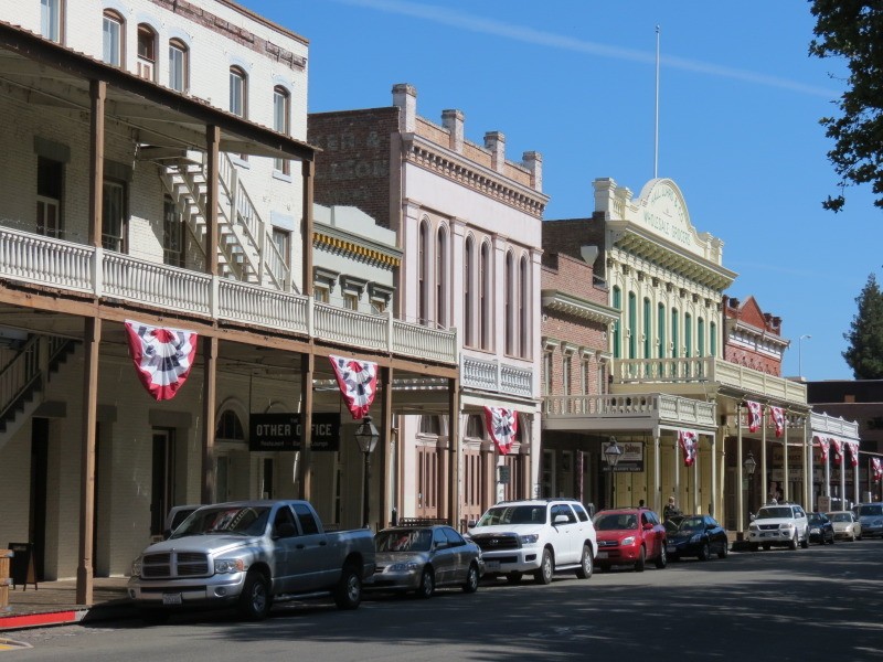
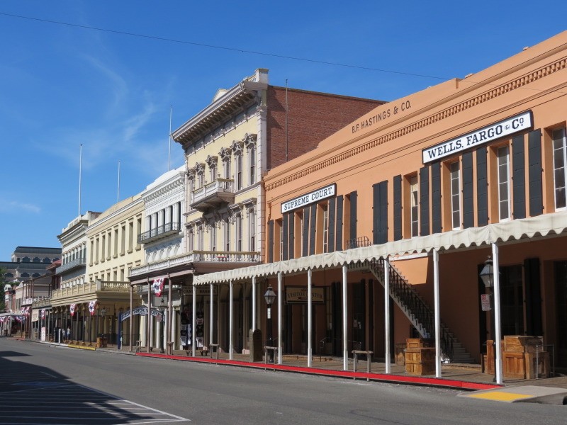
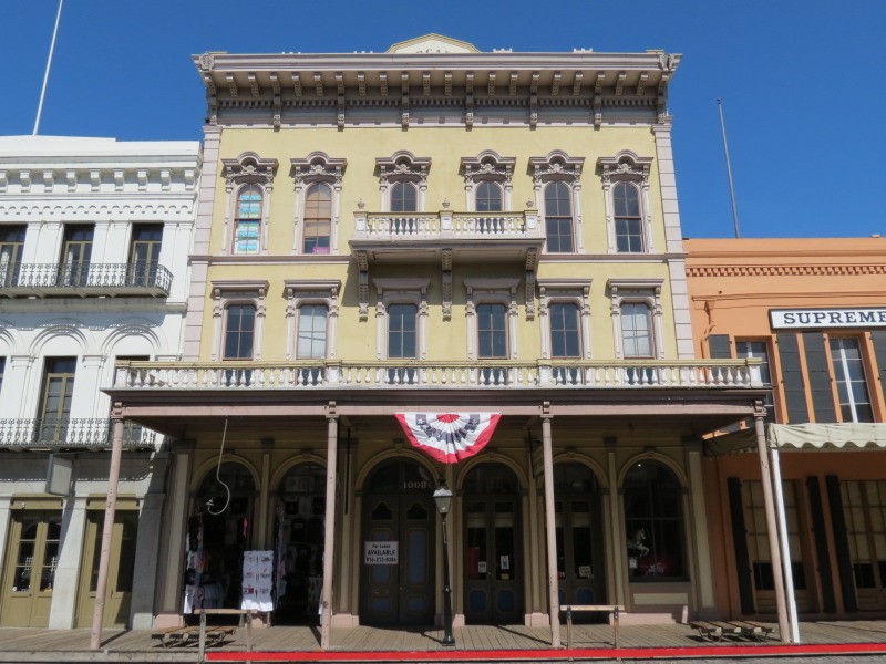
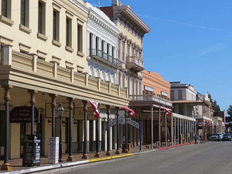
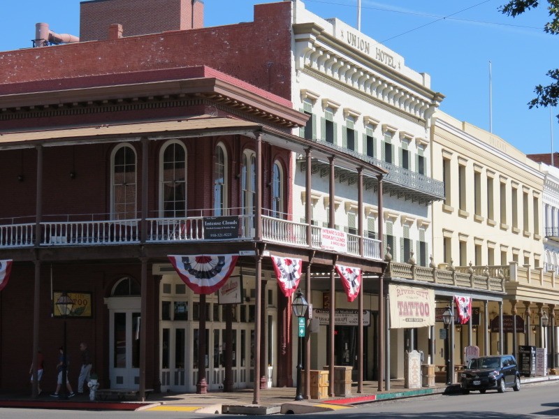
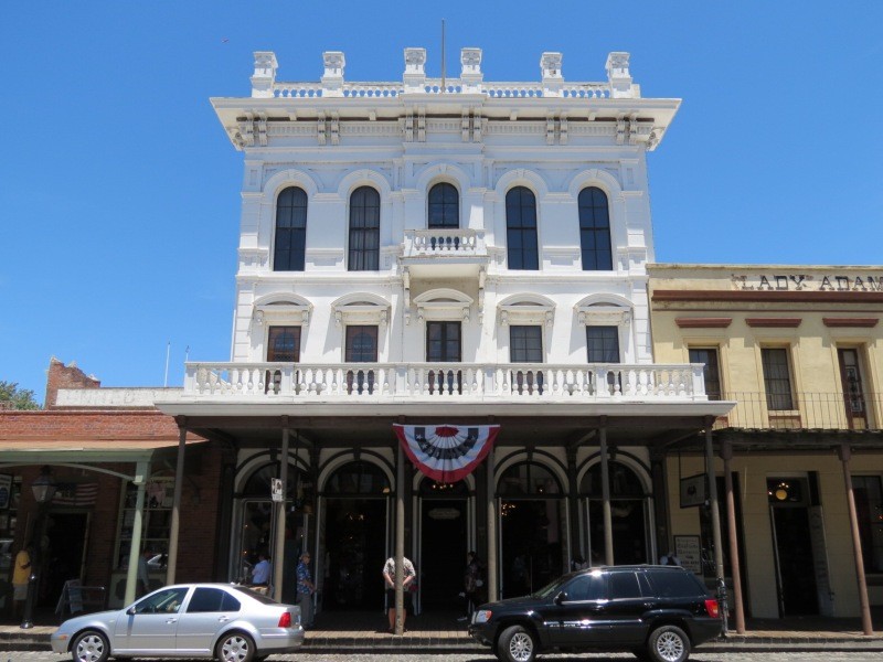
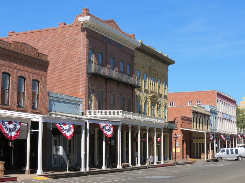
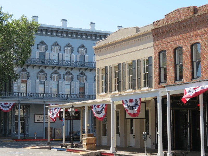
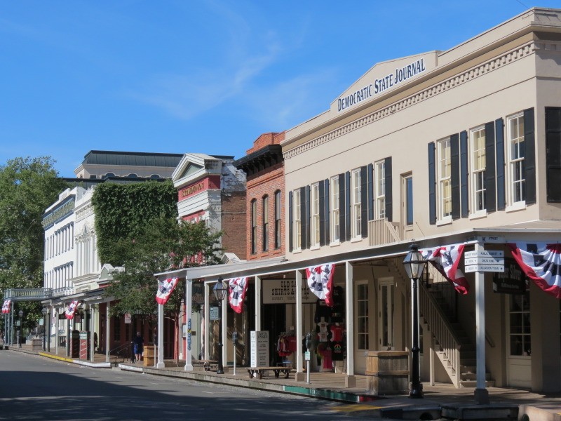
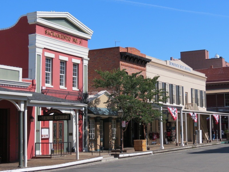
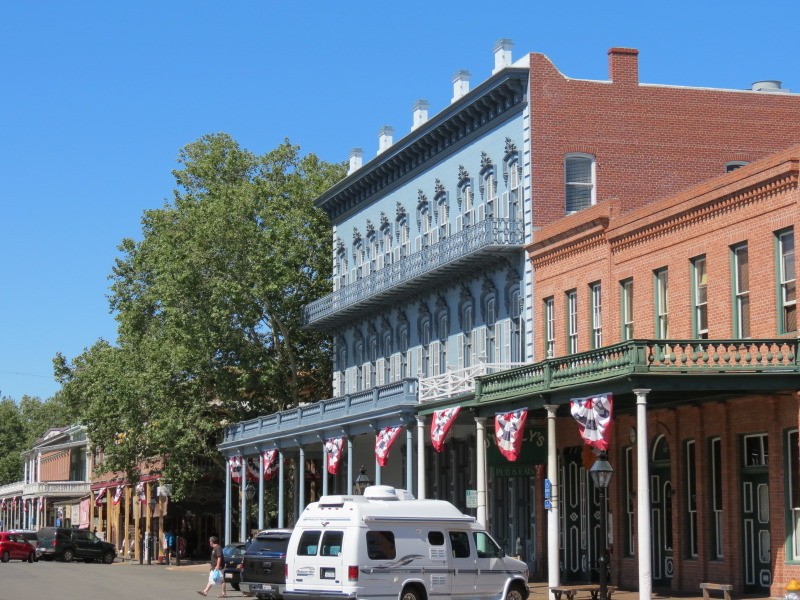
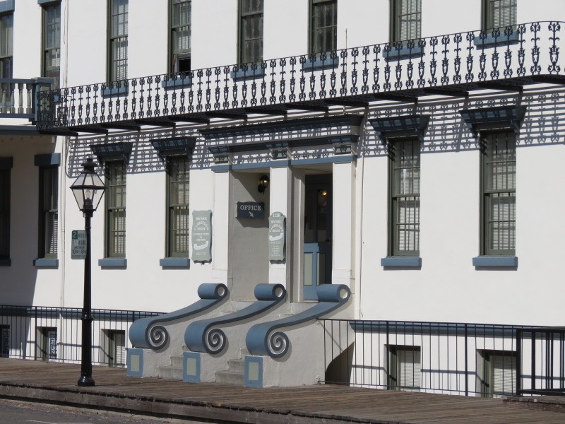
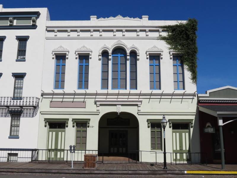
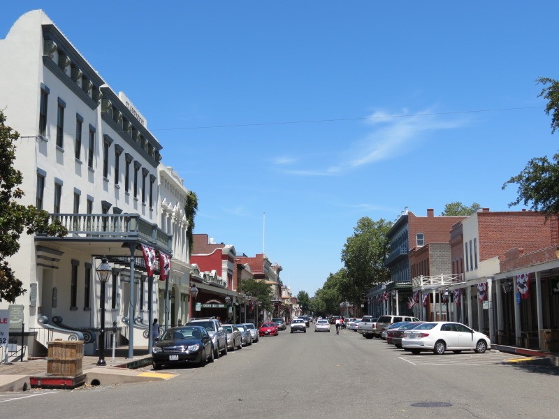
Old Sacramento:
This area of downtown is composed of about 10 blocks that are next to the river and it is the city's major tourist center in addition to the Capitol building. It is separated from the rest of downtown by a wide major freeway overpass. Old Sacramento is a National Historic Landmark District, and some of it is also a California State Historic Park as well. Many of the buildings are historic ones from the mid-to-late 1800's; those that are not are mostly accurate recreations. The area was neglected for decades until the 1960's when restoration commenced, including relocating buildings that originally were elsewhere in the area. This area was the Western terminus of the Pony Express
All photos taken in 2013 by geomorph.


 Linear Mode
