HomeDiagramsDatabaseMapsForum About
     

Go Back   SkyscraperPage Forum > Photography Forums > My City Photos


Reply

 
Thread Tools Display Modes


  #1  
Old Posted Dec 1, 2016, 2:12 PM
Nightsky's Avatar
Nightsky Nightsky is offline
Illustrator, editor
 
Join Date: Mar 2004
Location: Malmö
Posts: 3,690
EL SALVADOR 2016 – other cities, volcanos, mountains, beaches, maya ruins

http://worldtravelimages.net/El_Salvador.htm

This thread is about other places and cities then San Salvador (that has a separate thread).
ABOUT El Salvador:
Population: 6 377 000
Continent: North America (Central America)
Area: 21041 km²
Capital: San Salvador
Language: Spanish
Independence from Spain: 1821
Independence from Mexico: 1823

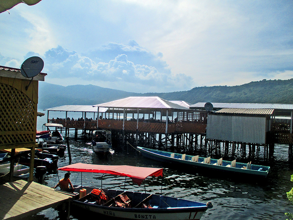
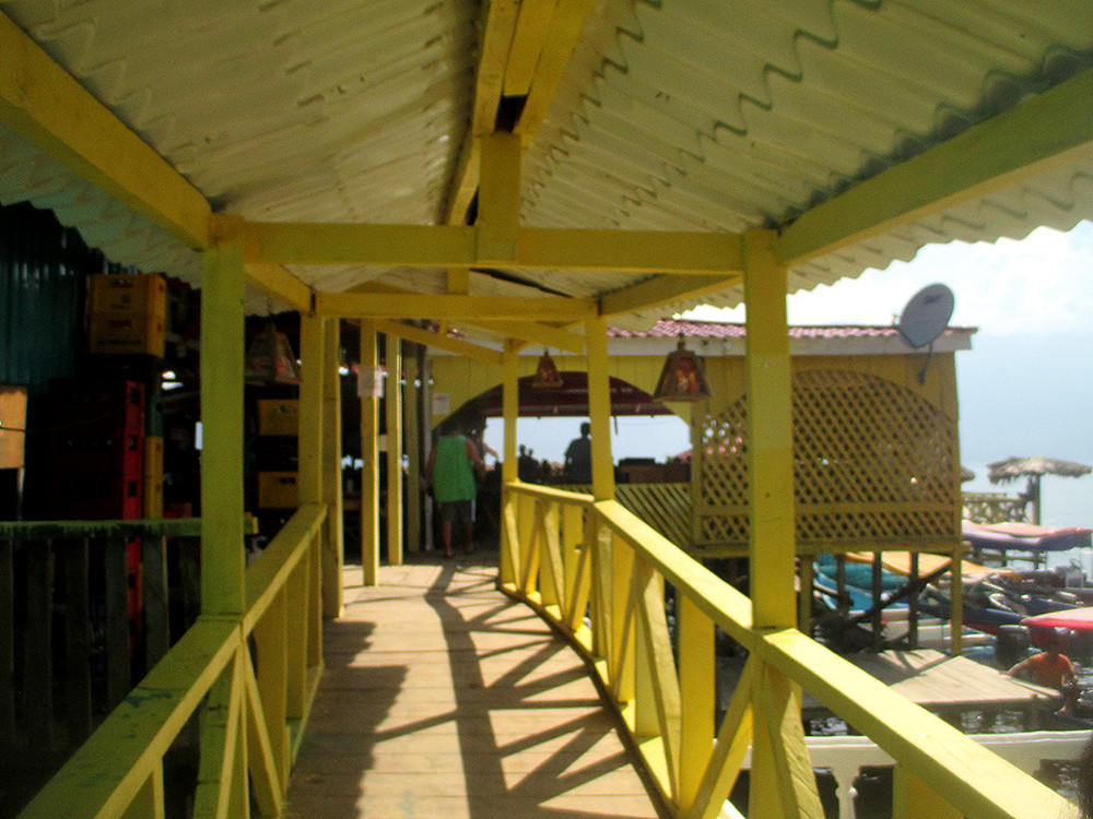
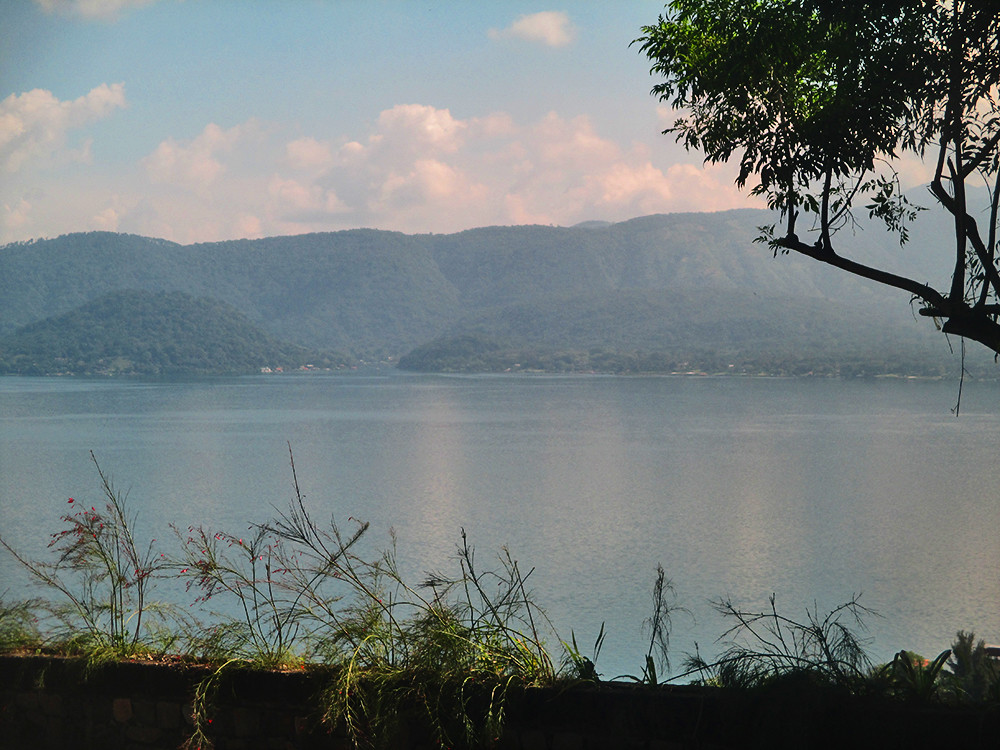
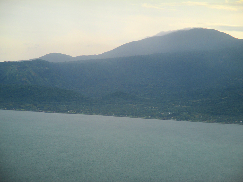
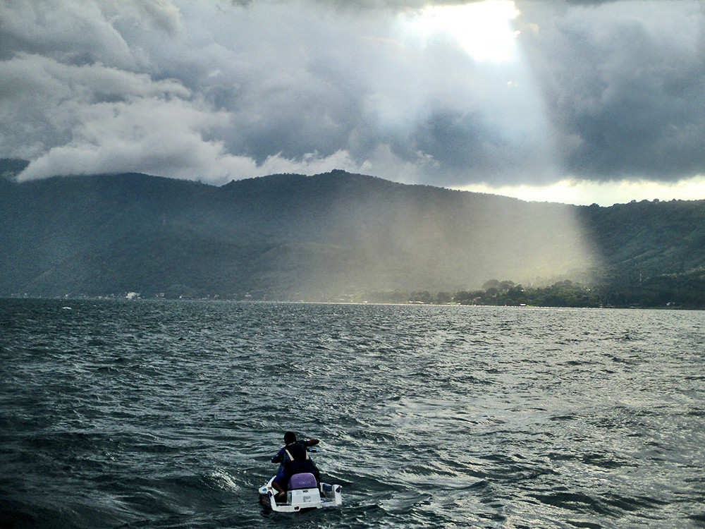
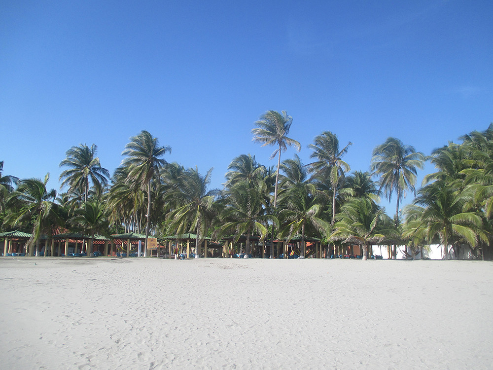
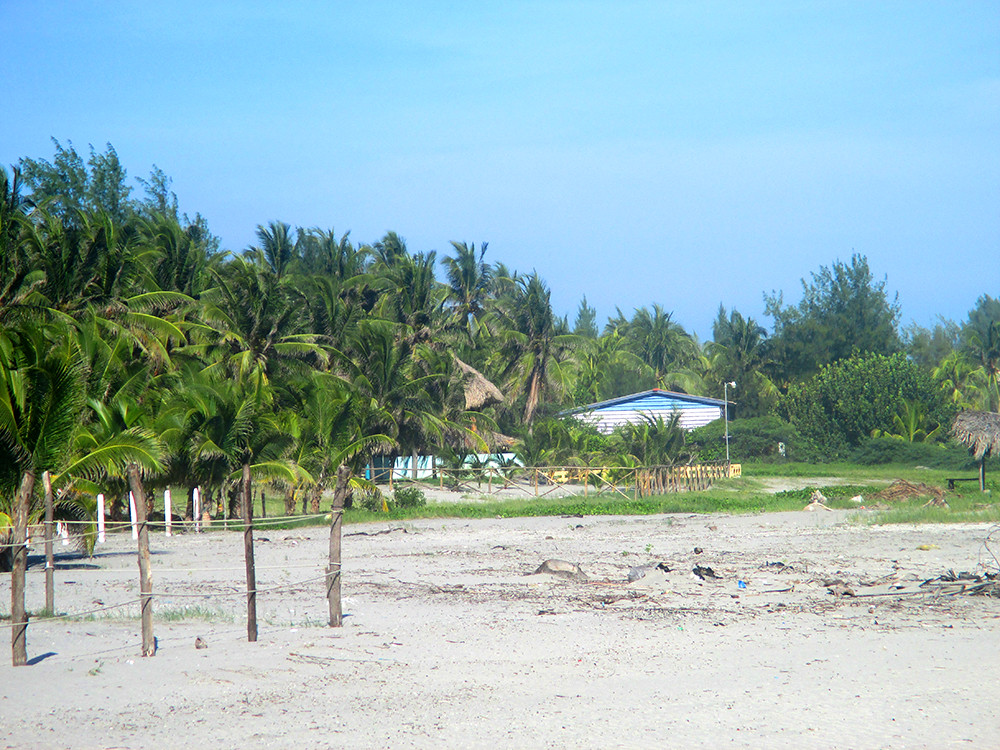
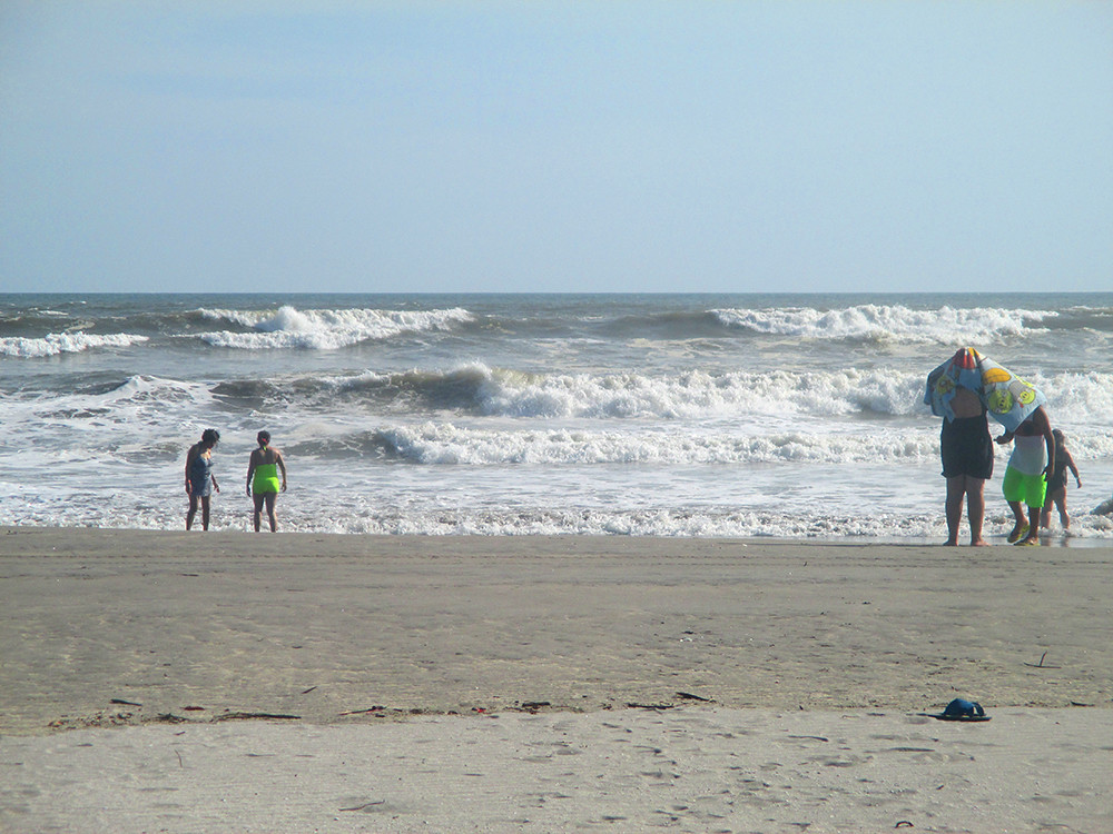
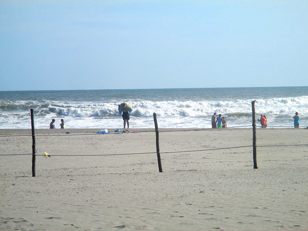
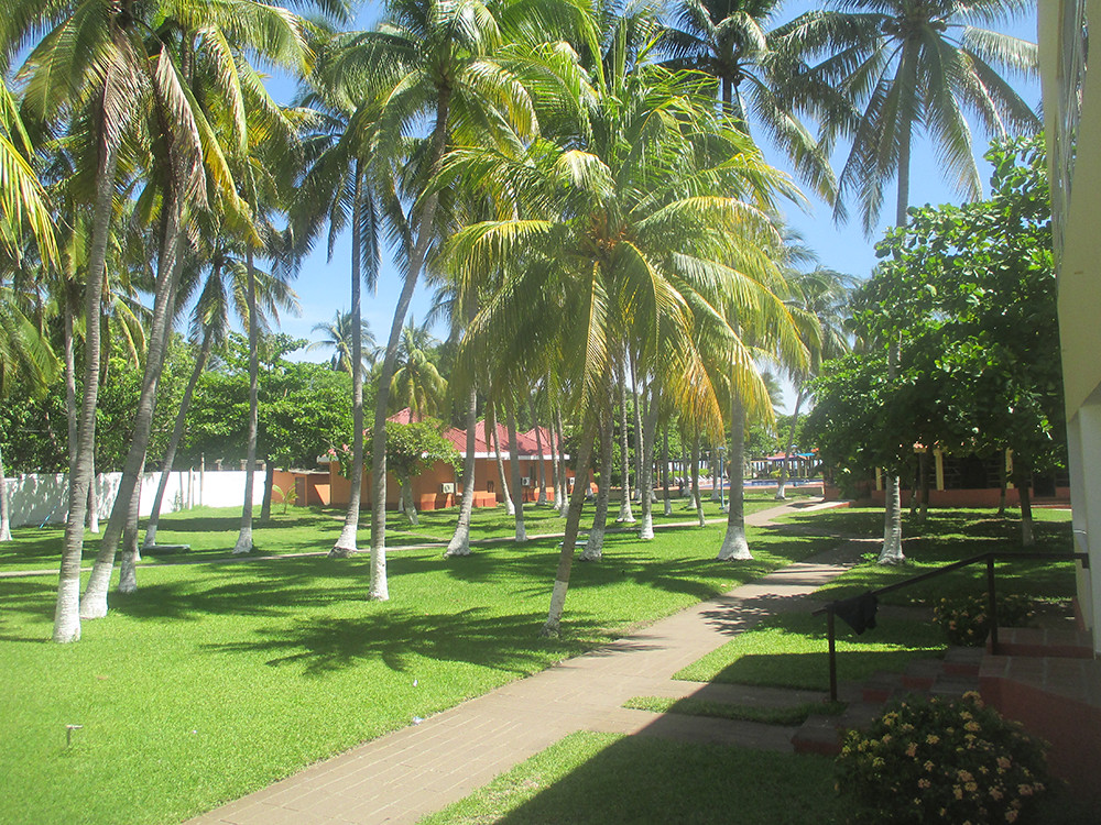
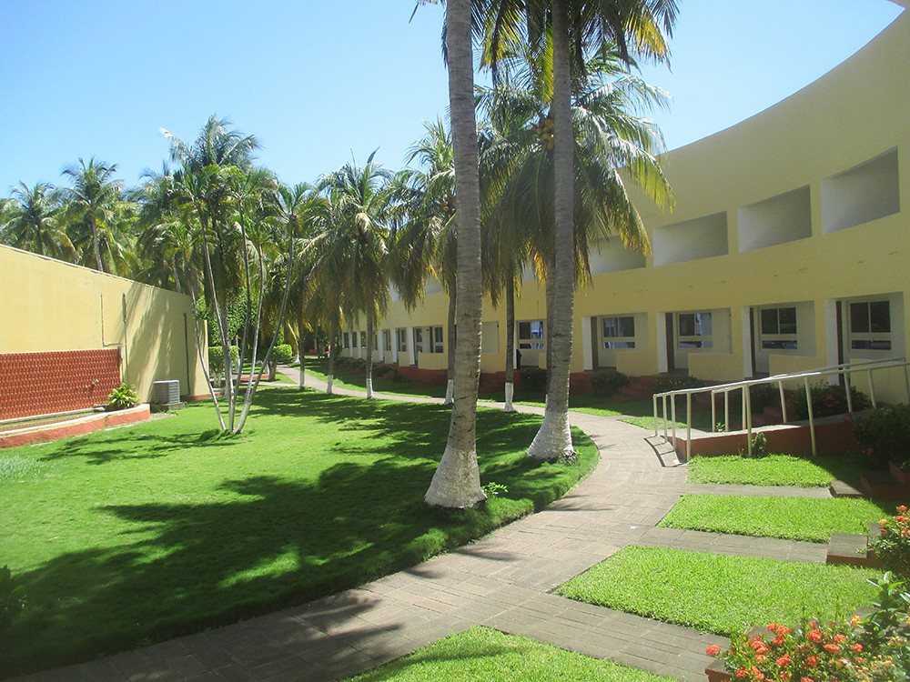
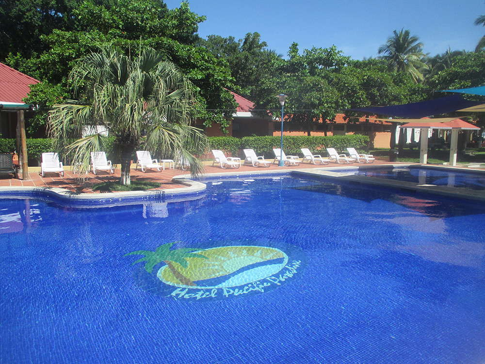
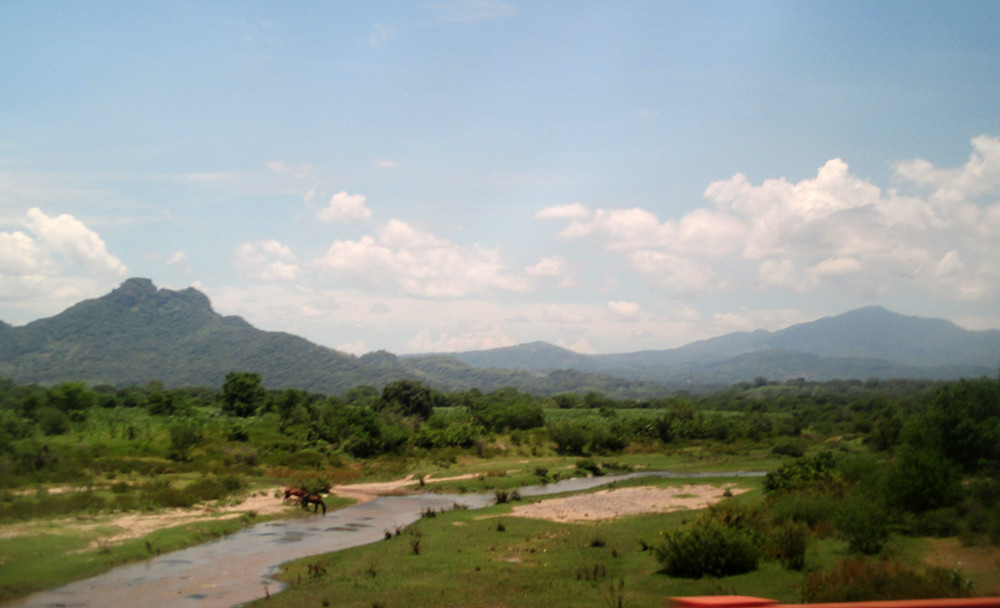
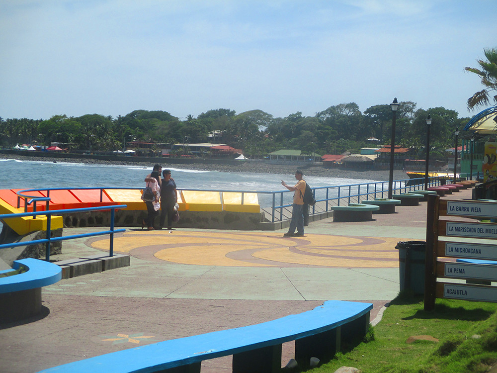
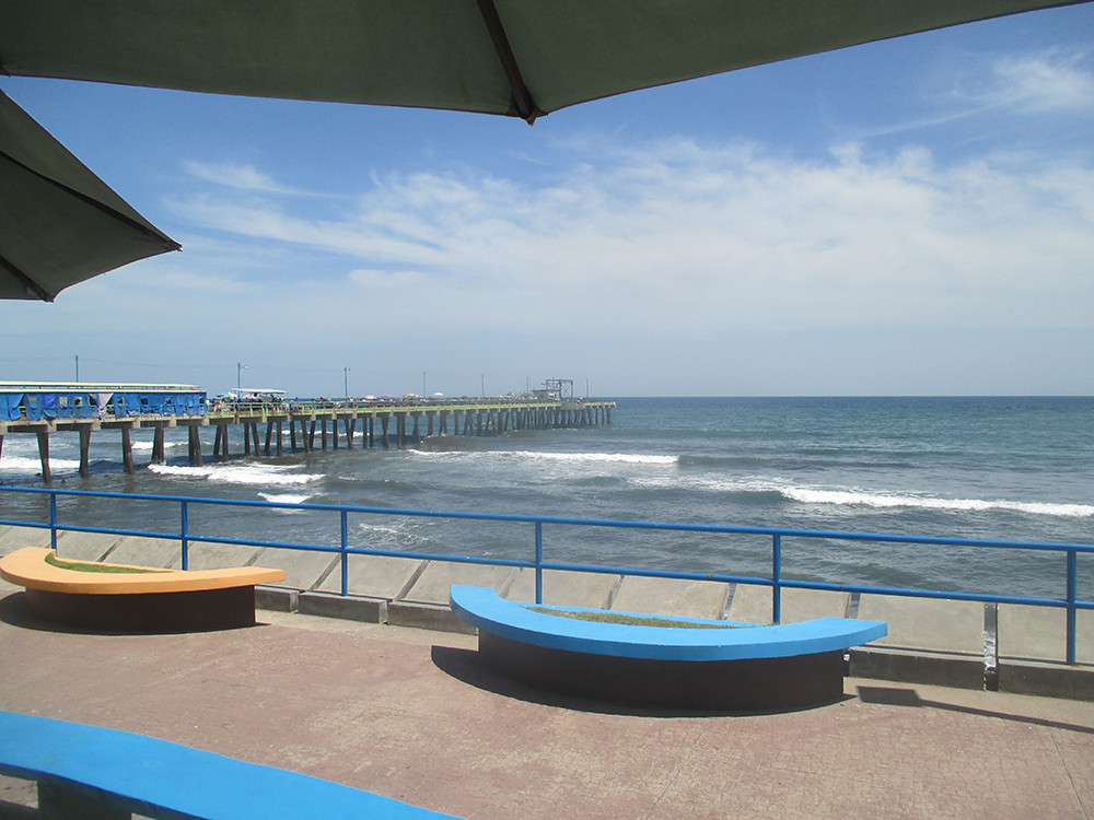
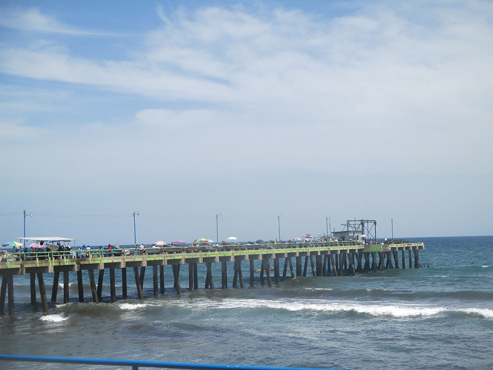
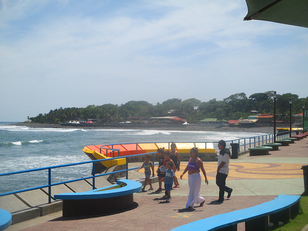
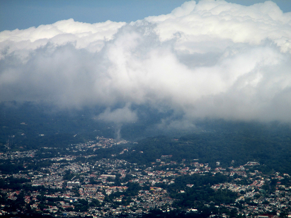
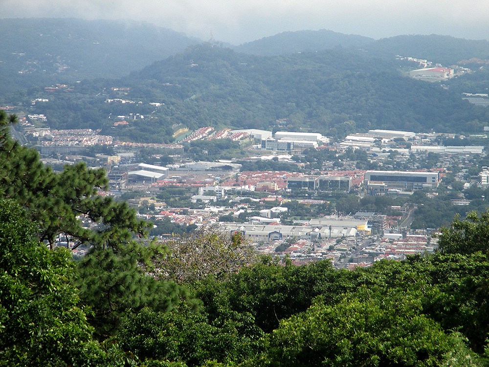
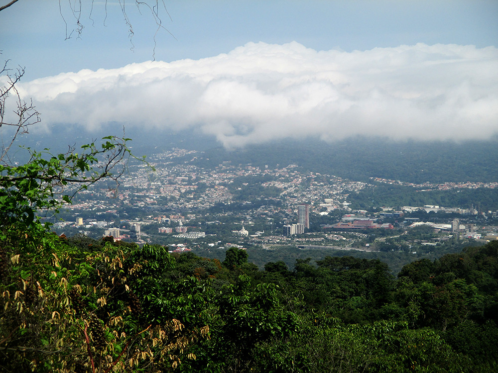
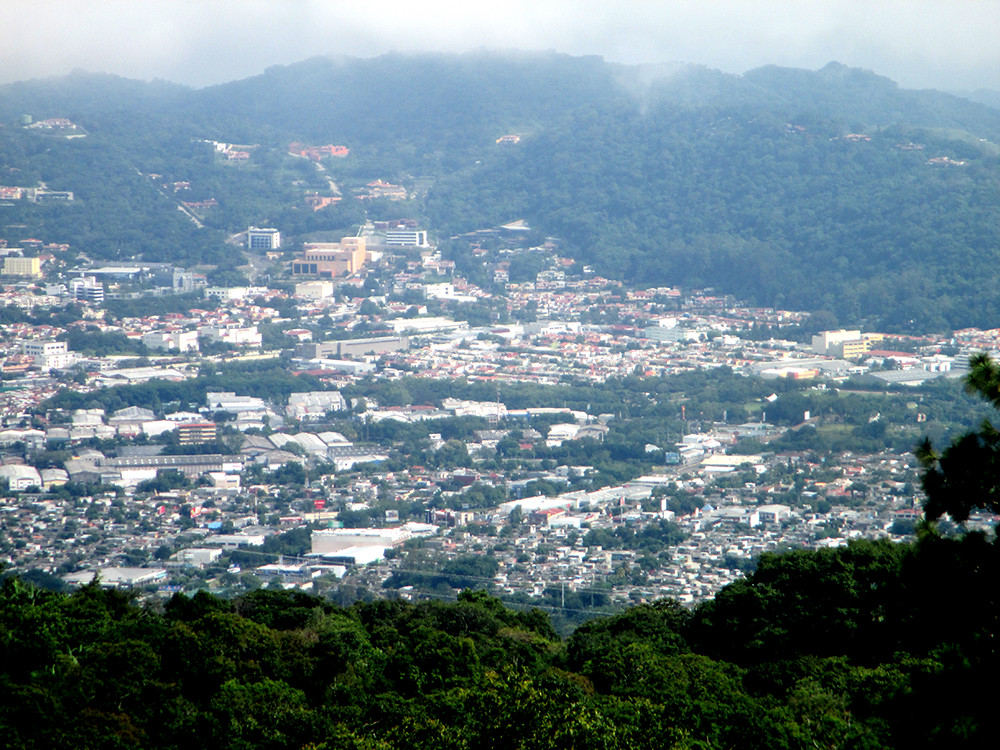
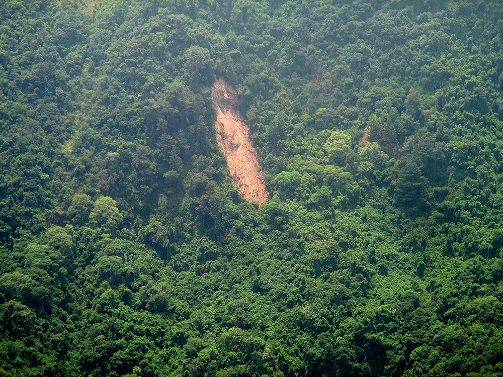
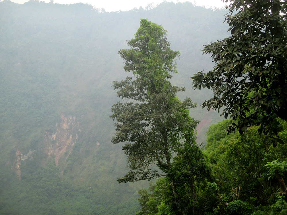
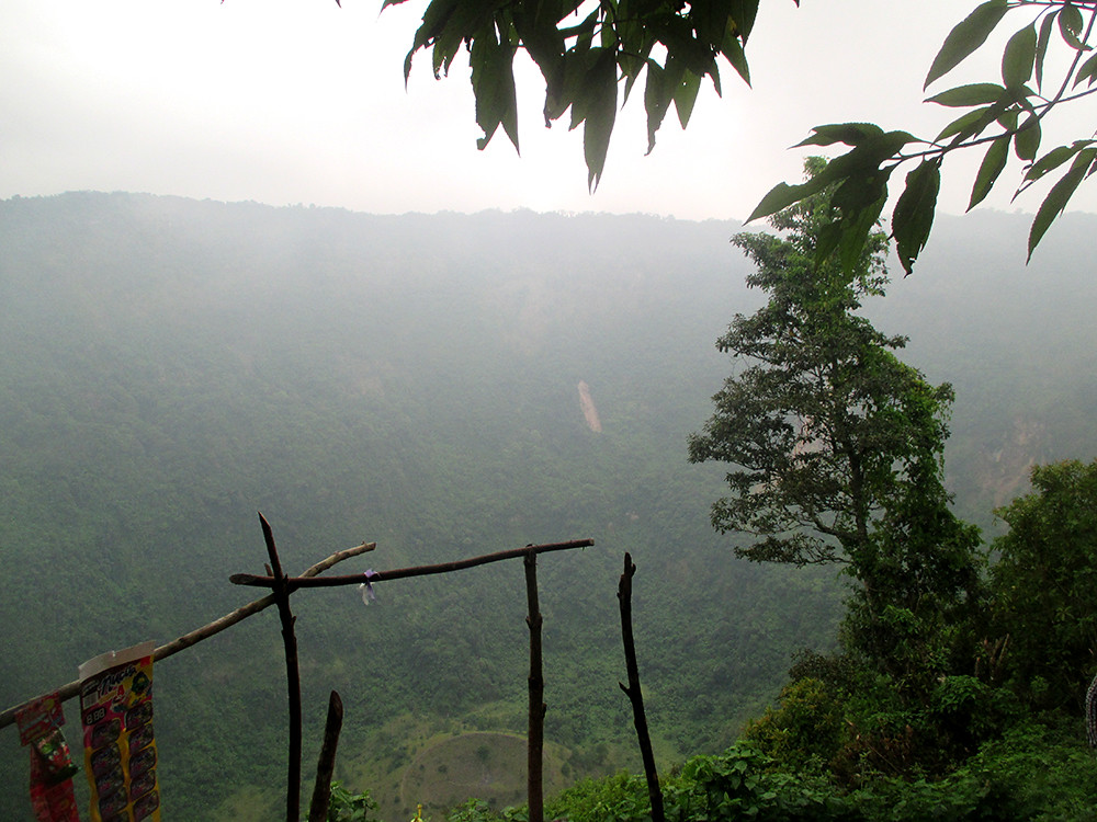
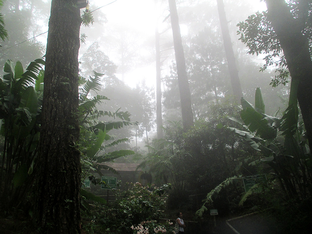
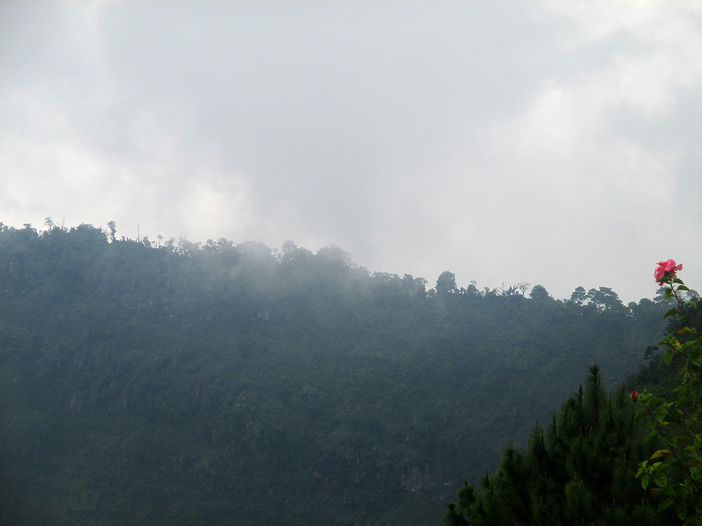
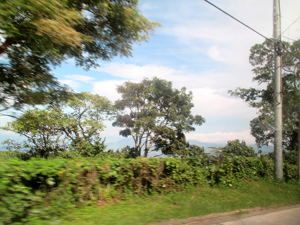
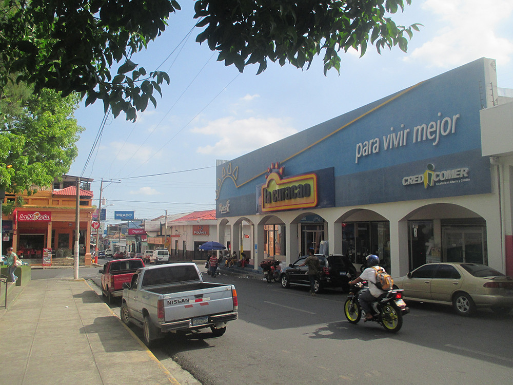
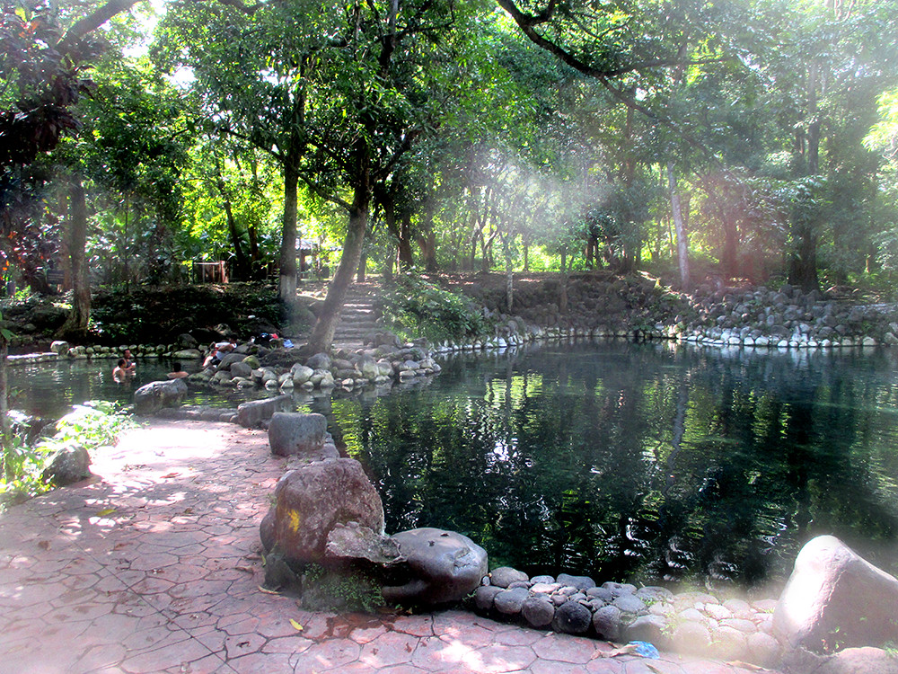
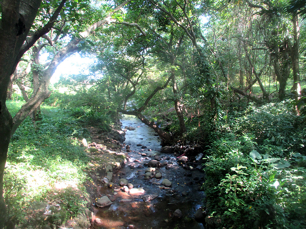
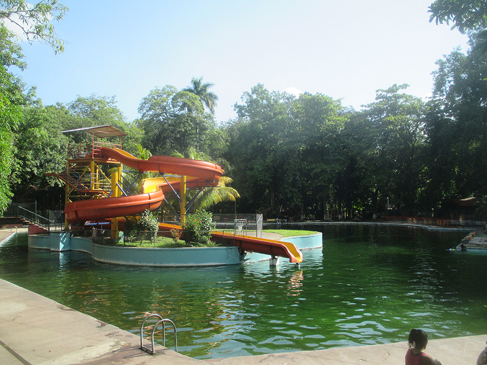
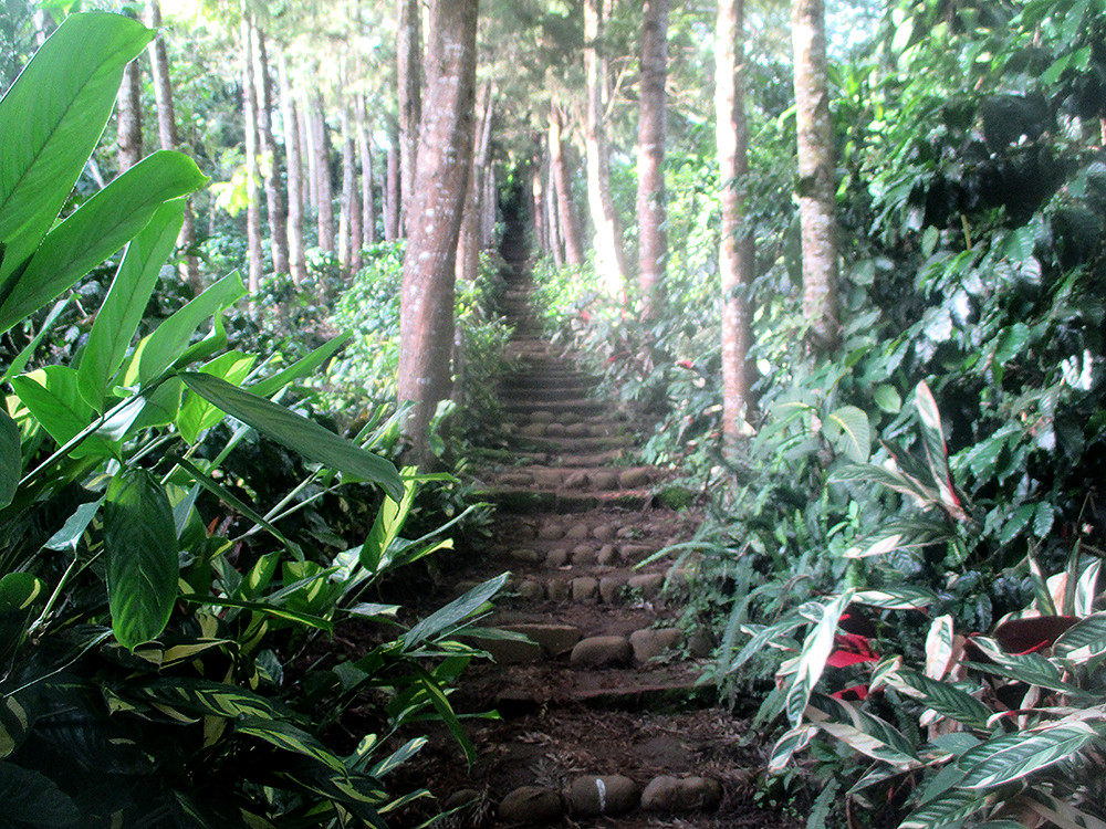
El Salvador is the smallest but still the most densely populated country in Central America (6.3 million inh. on 21041 km²). So it is a small country, with a coast to the Pacific Ocean in the south, but it has much to offer; High green mountains, several active volcanos, deserted amazing beaches, beautiful lakes and historic maya archeological sites attract visitors. The capital, San Salvador (pop 1.7 million with suburbs) might not be charming but is a huge metropolis with much to offer. The coast, especially Costa del Sol and the town of La Libertad has good beaches, very popular for surfers.
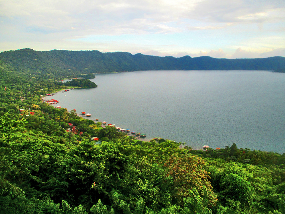
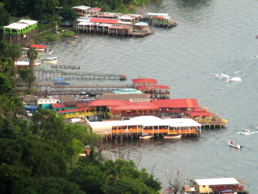
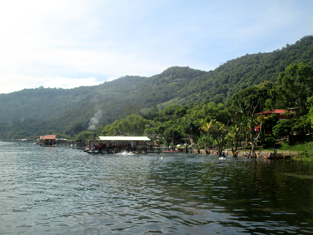
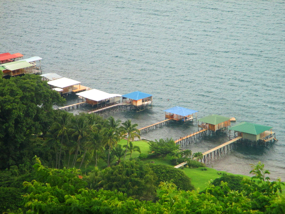
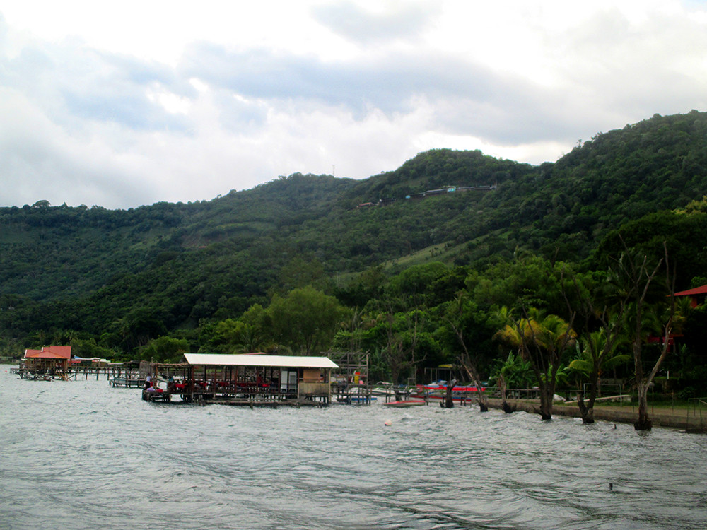
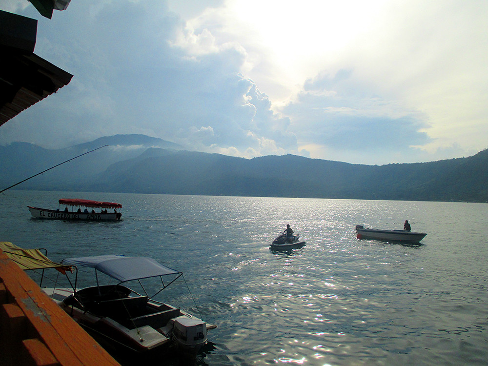
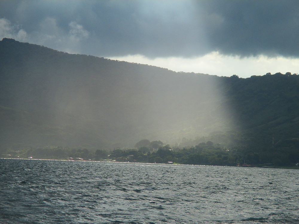
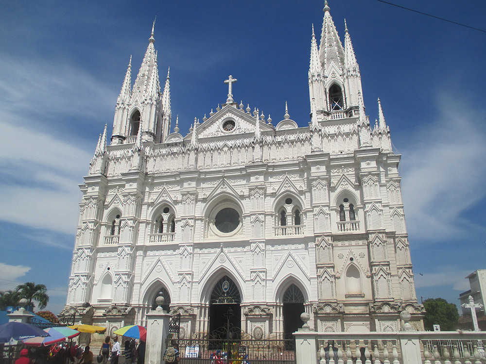
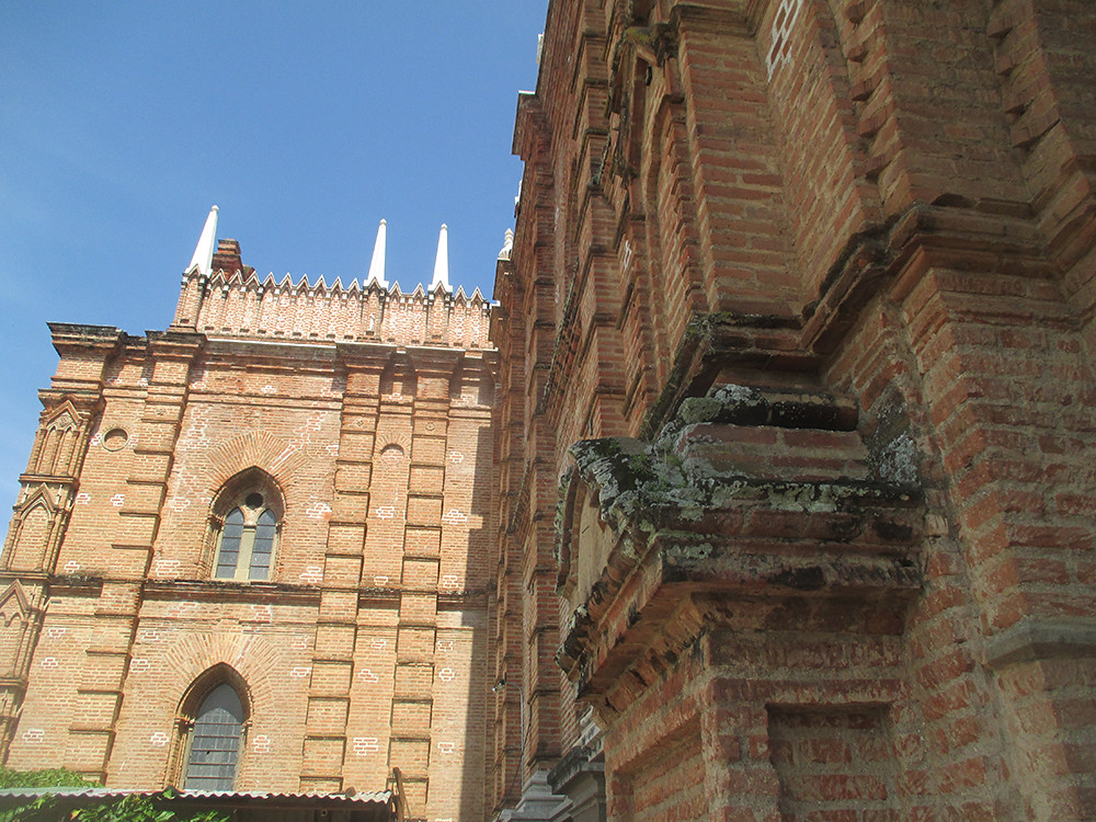
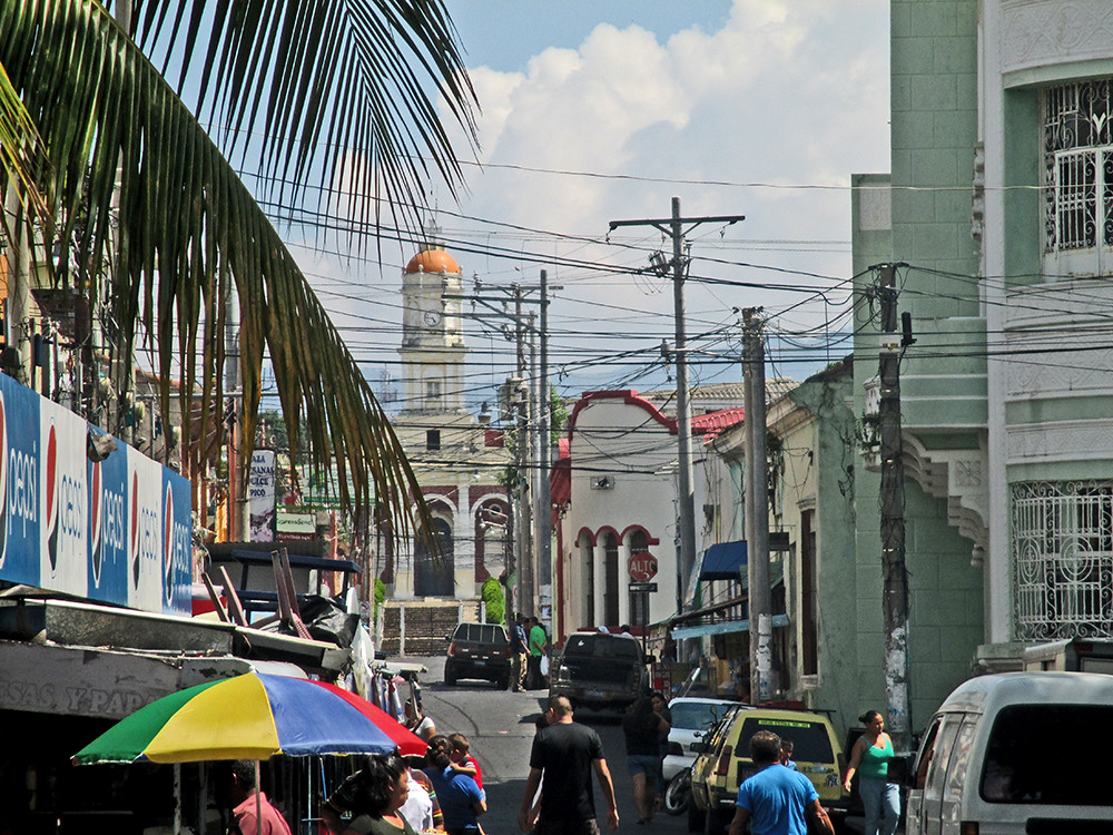
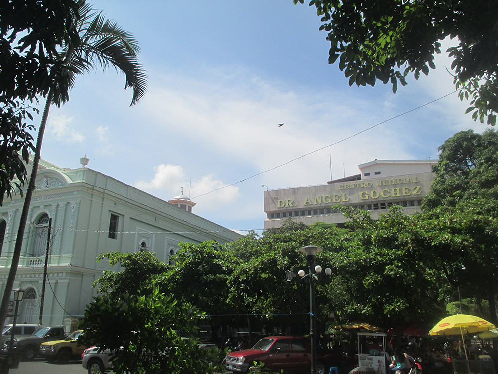
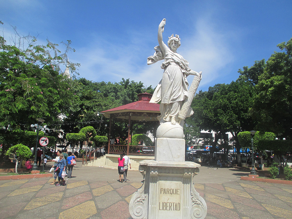
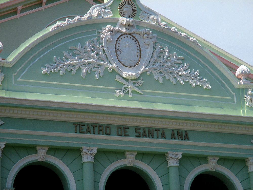
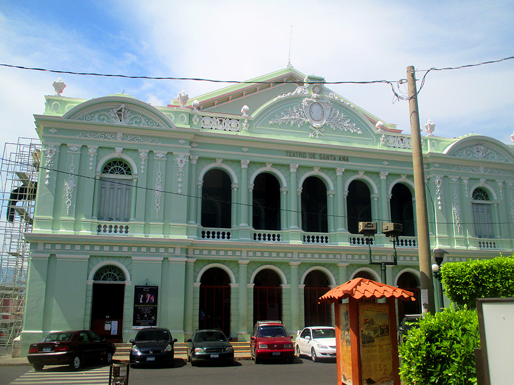
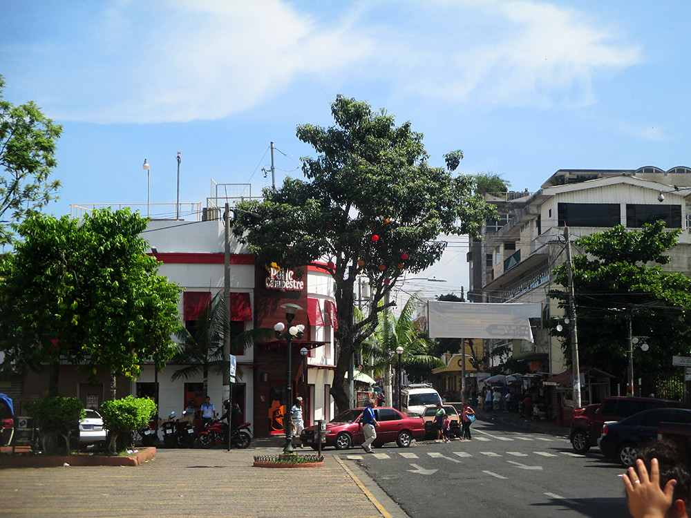
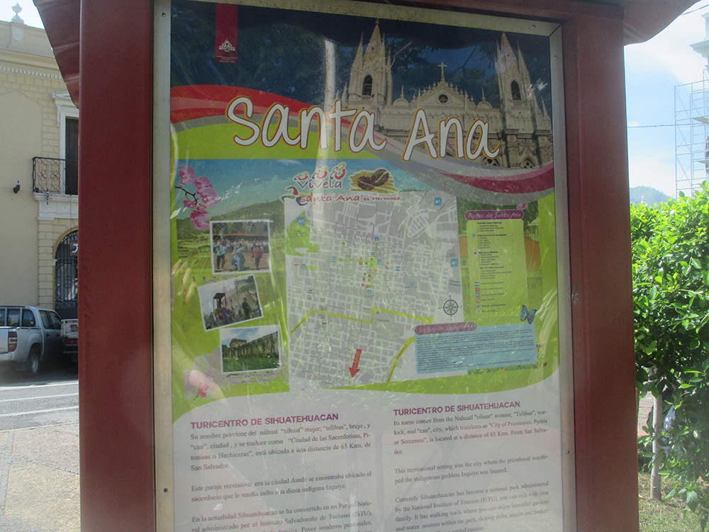
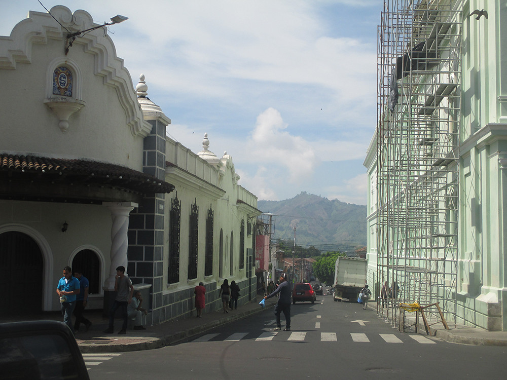
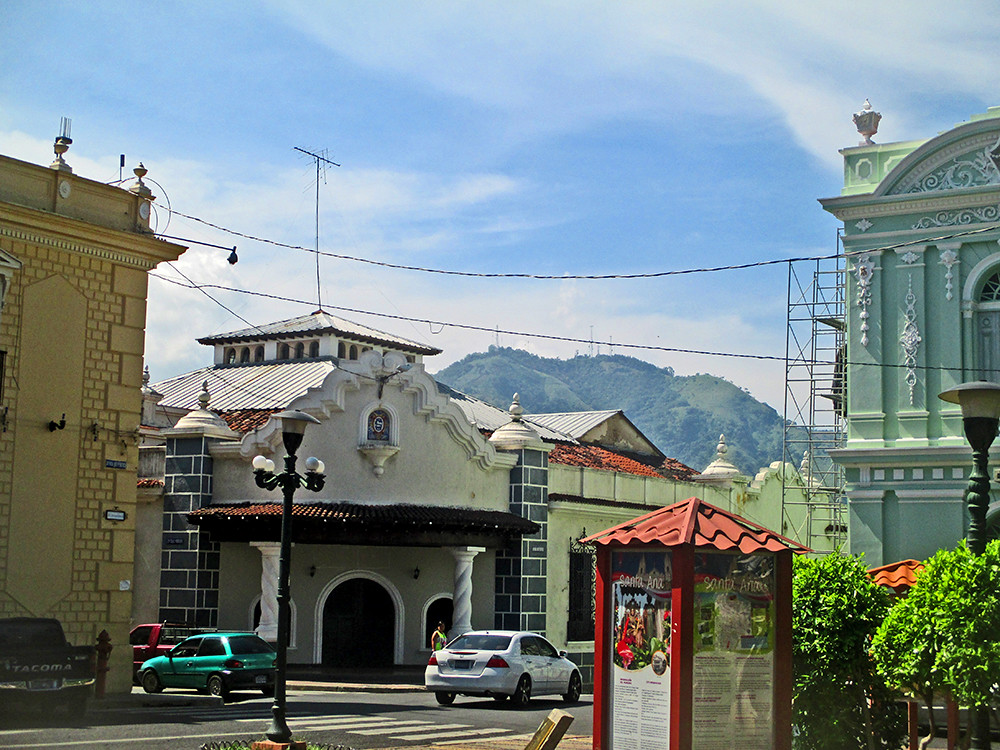
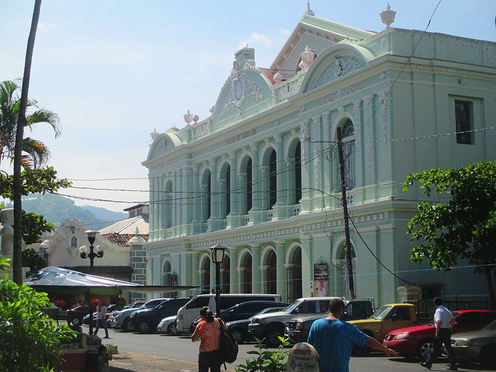
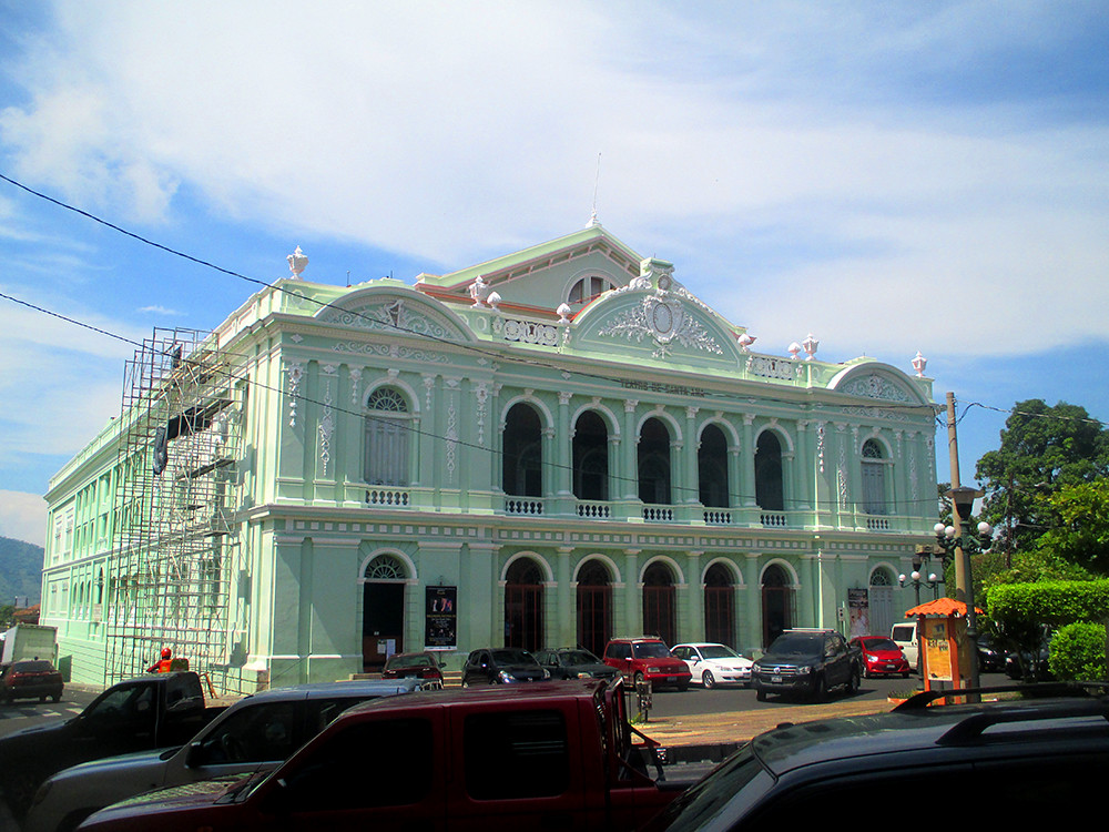
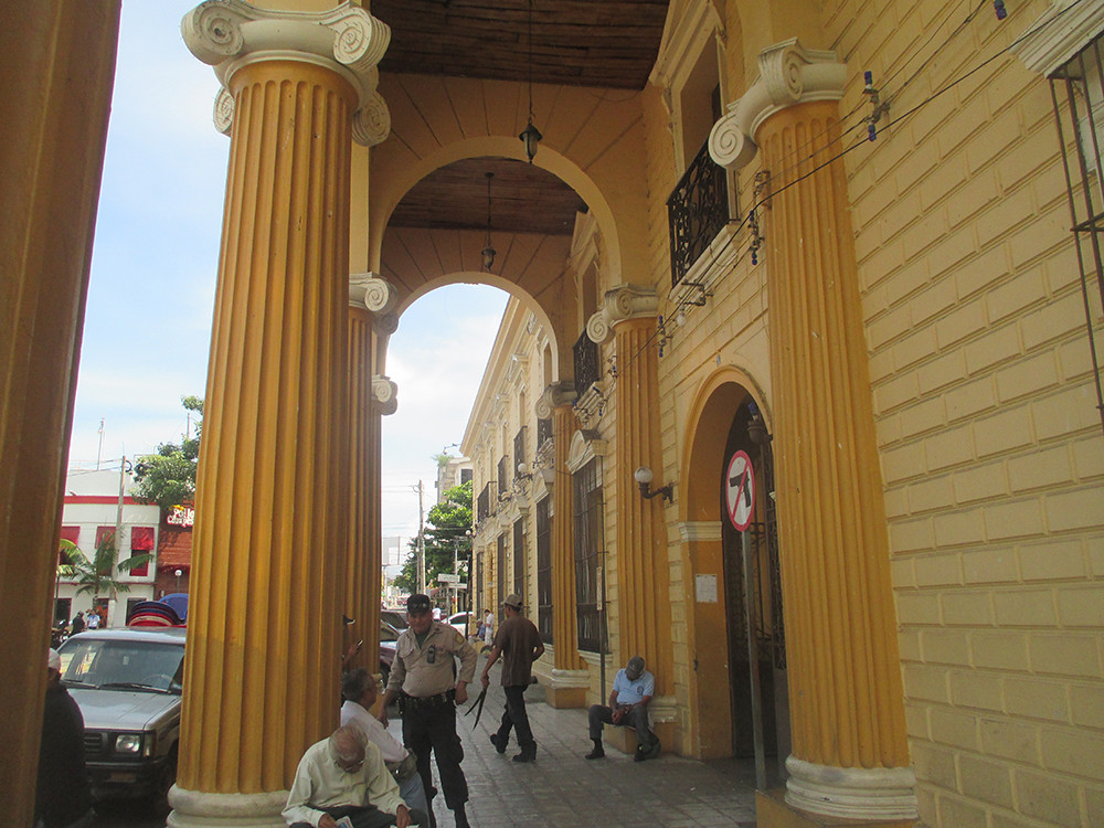
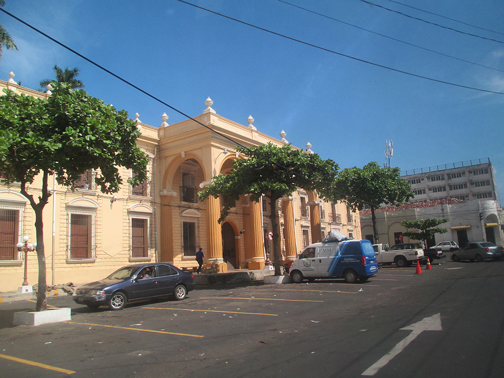
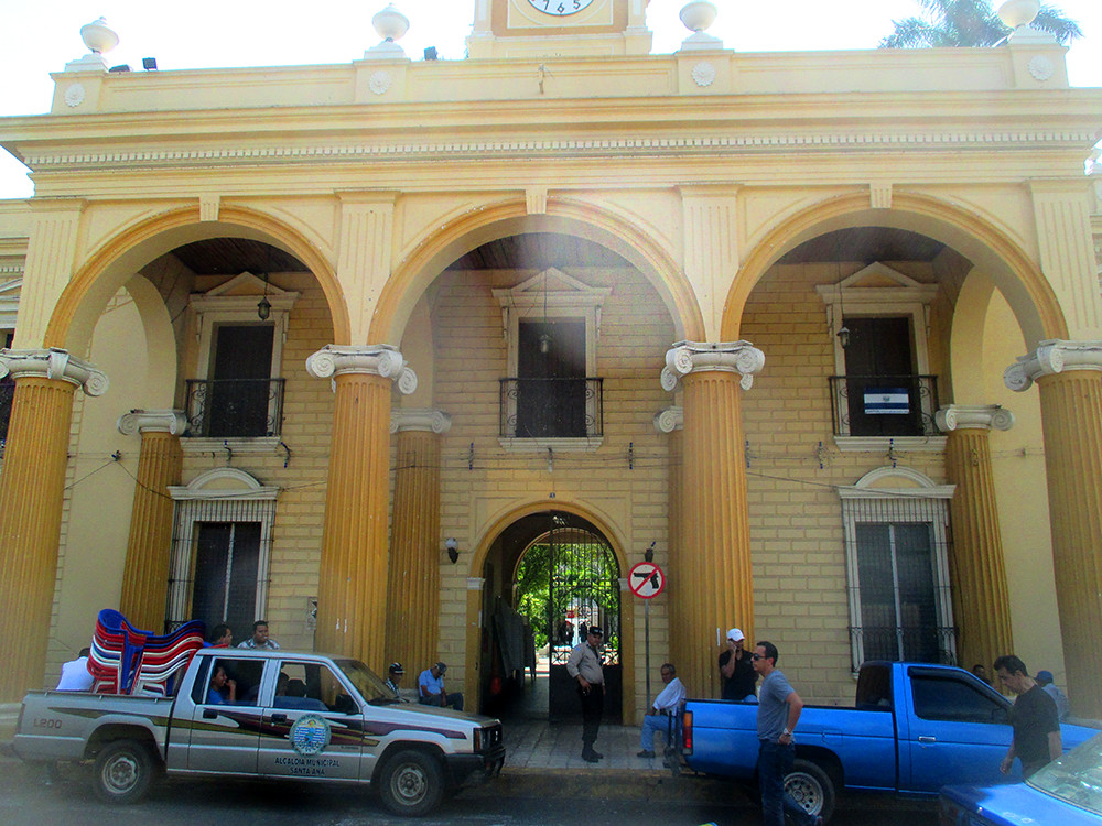
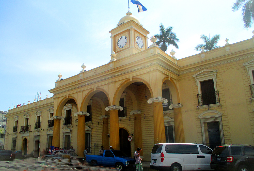
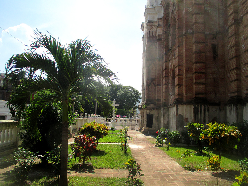
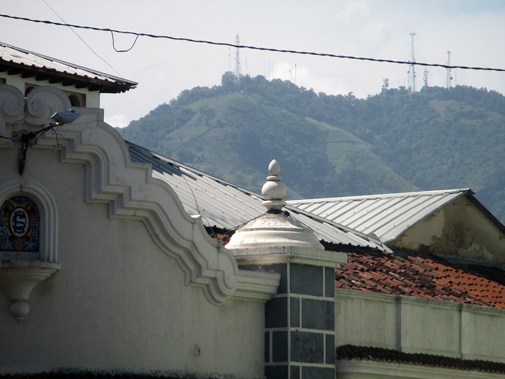
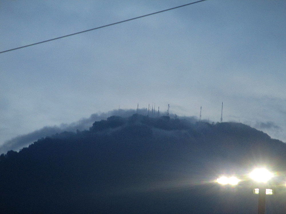
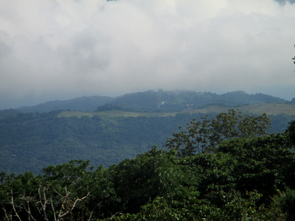
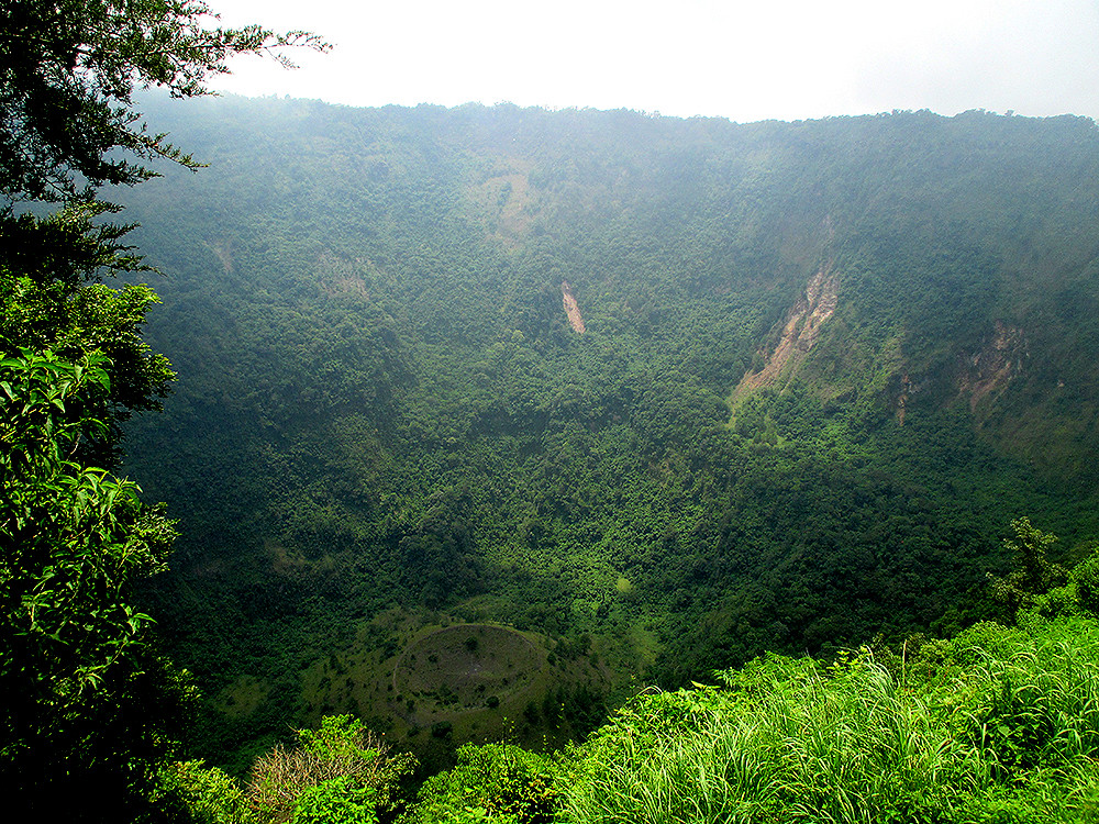
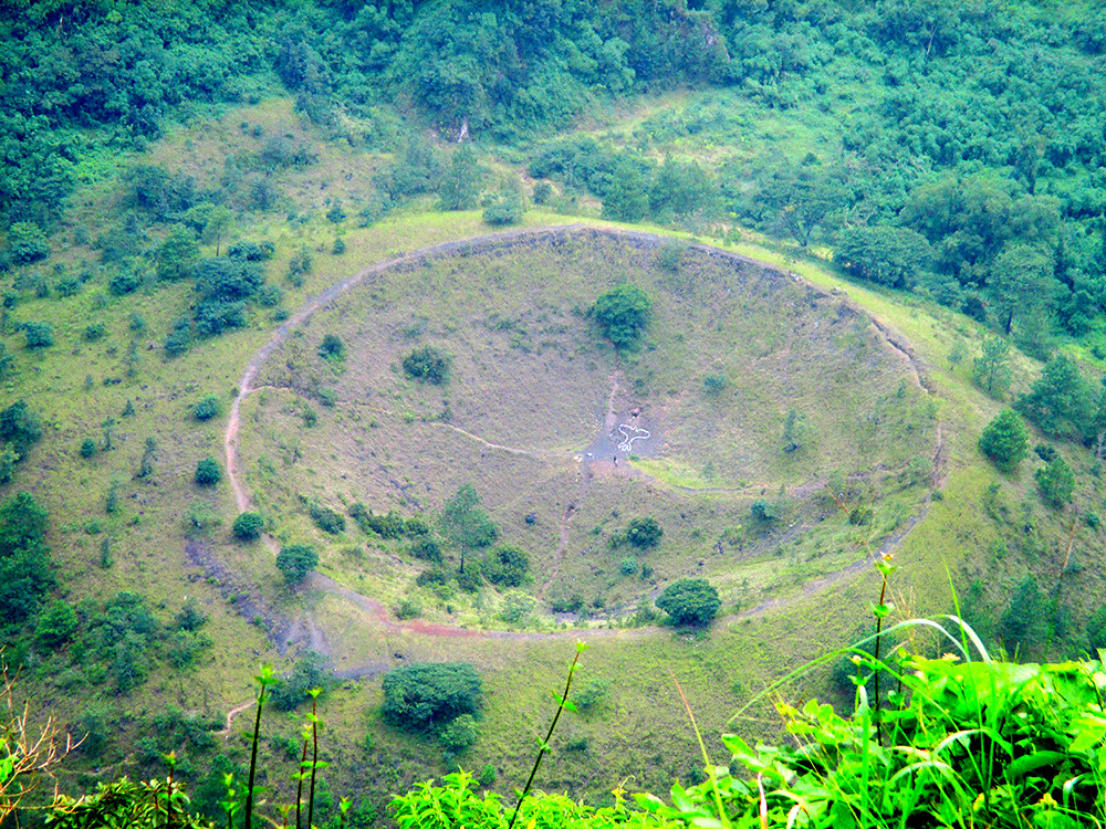
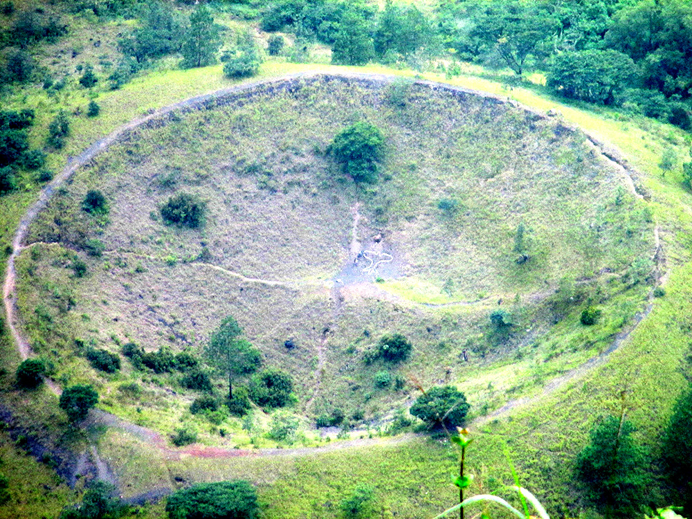
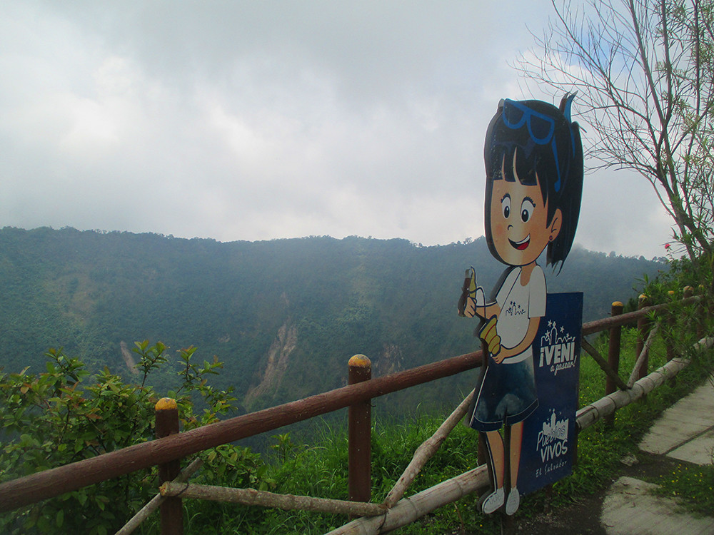
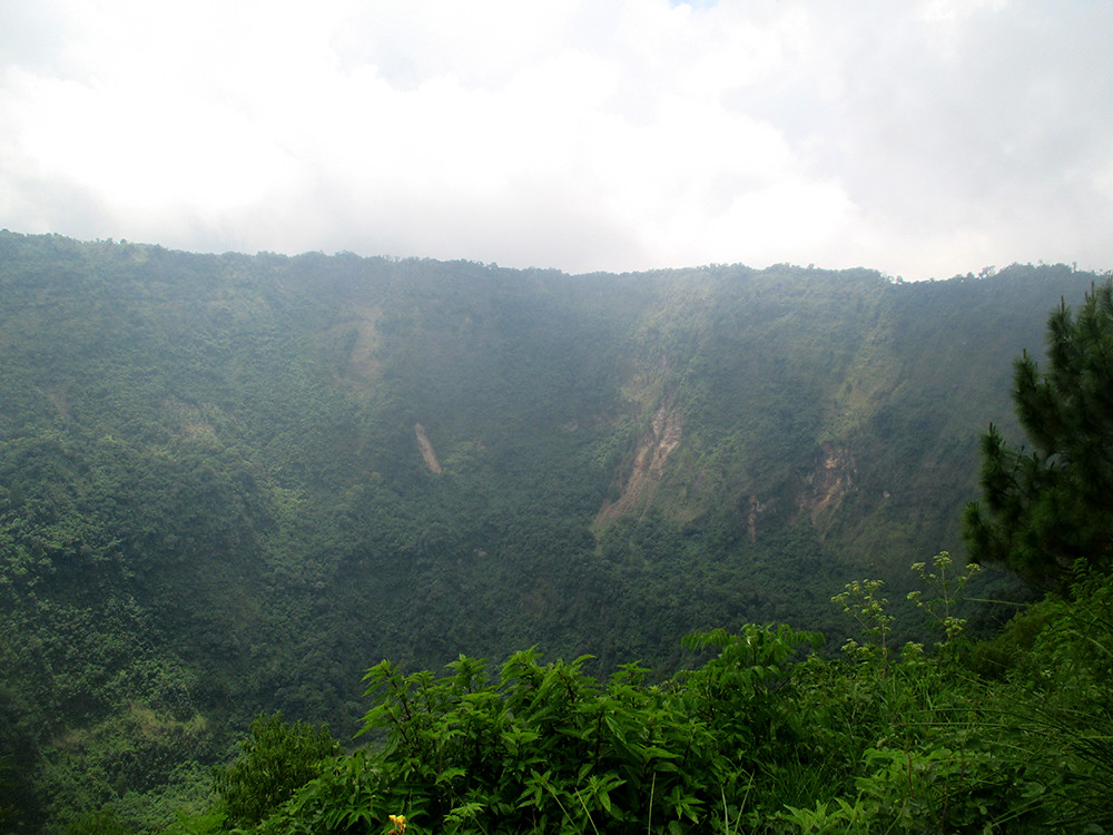
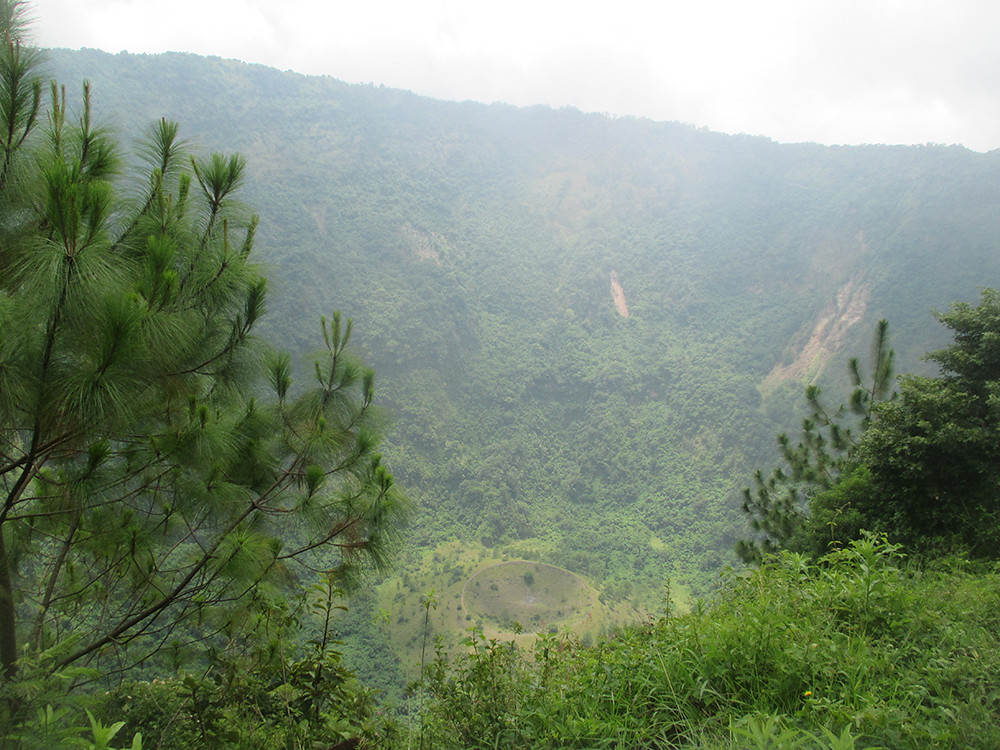
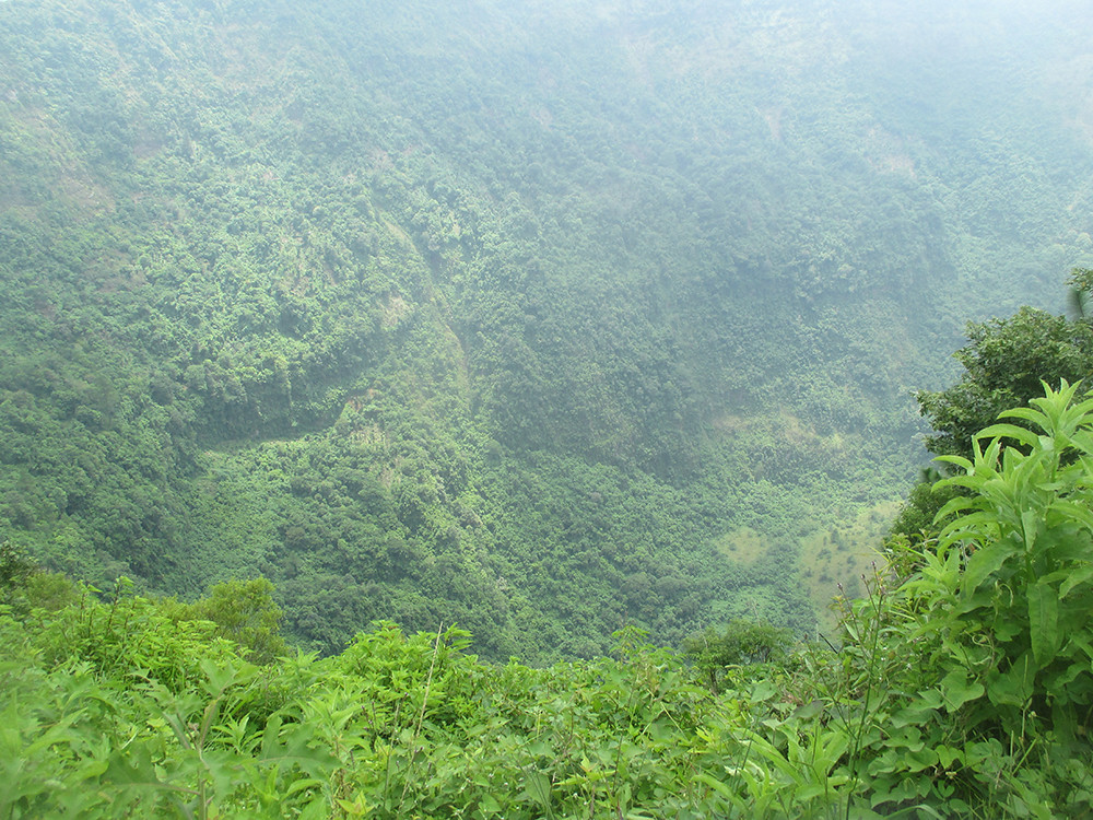
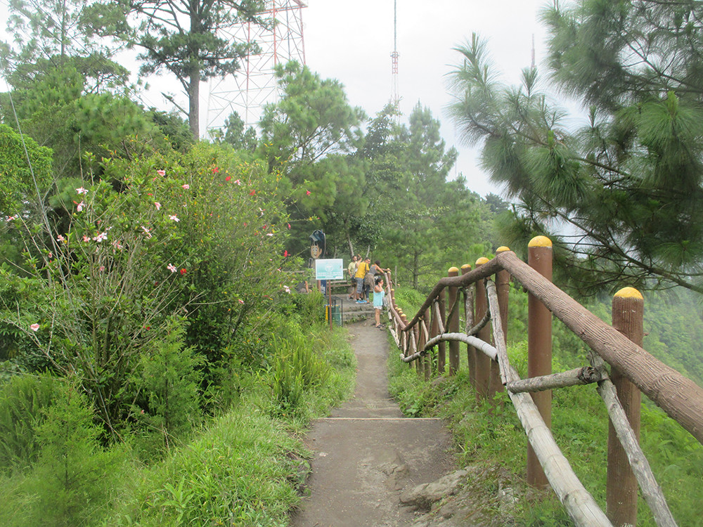
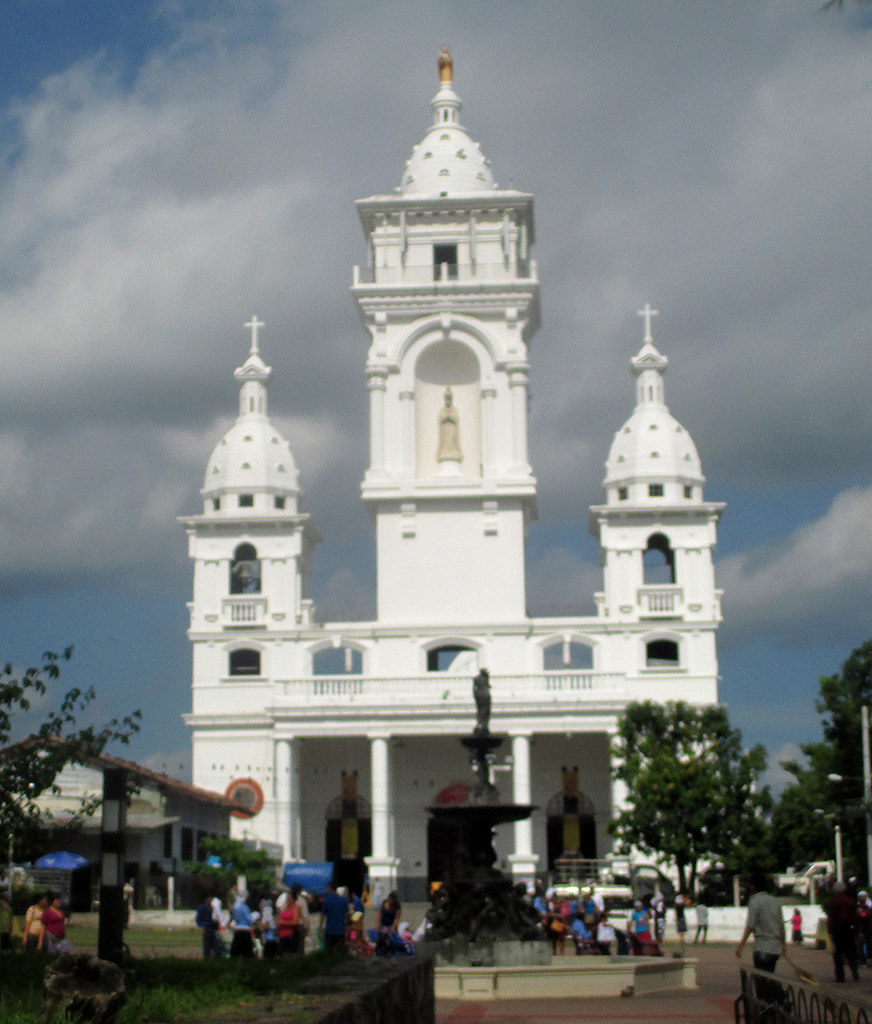
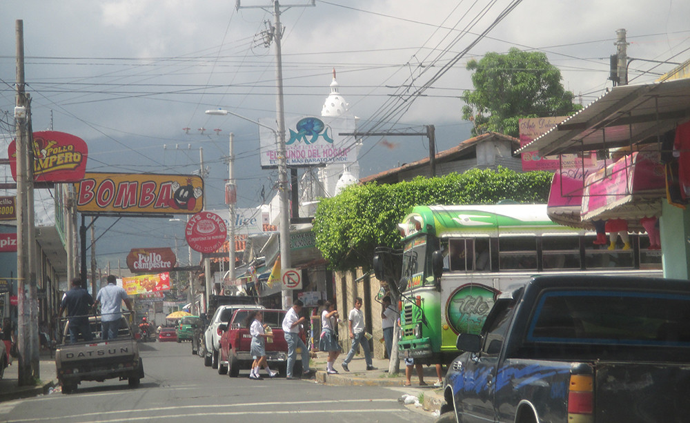
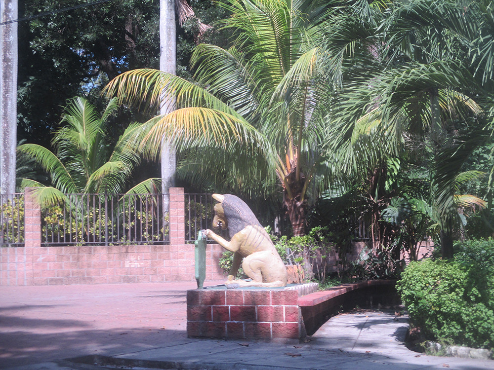
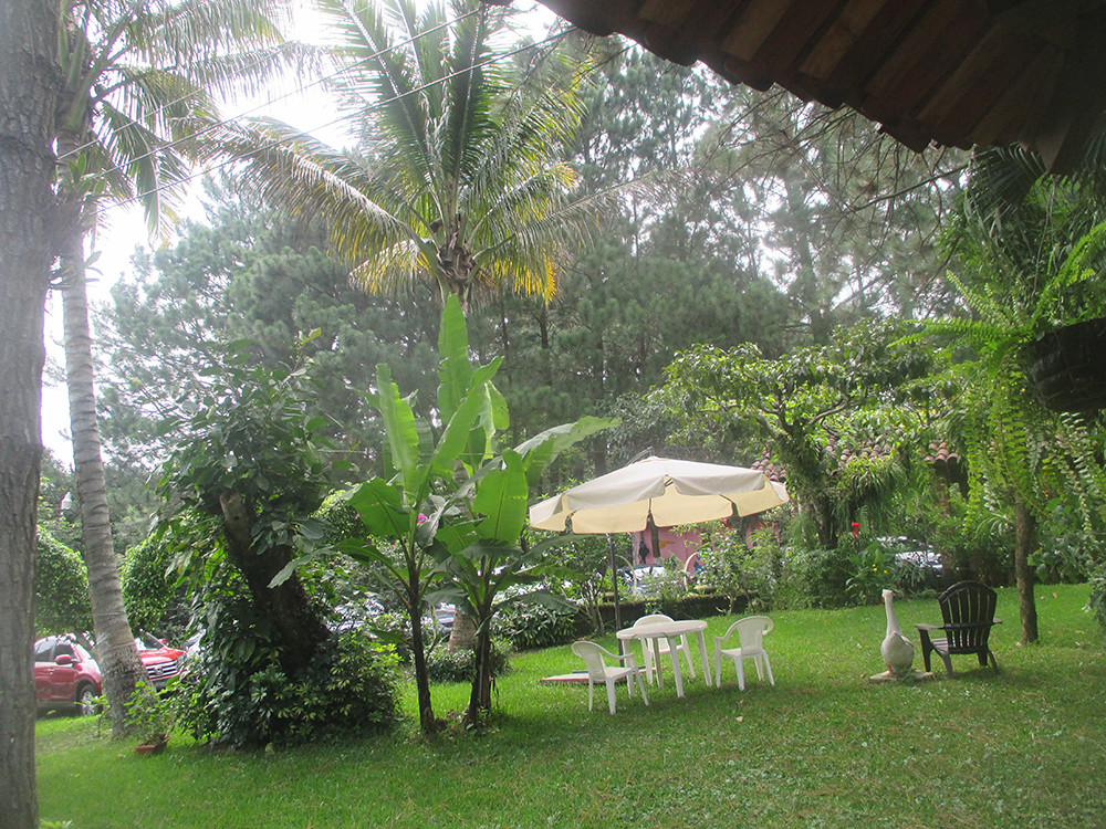
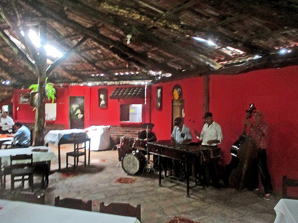
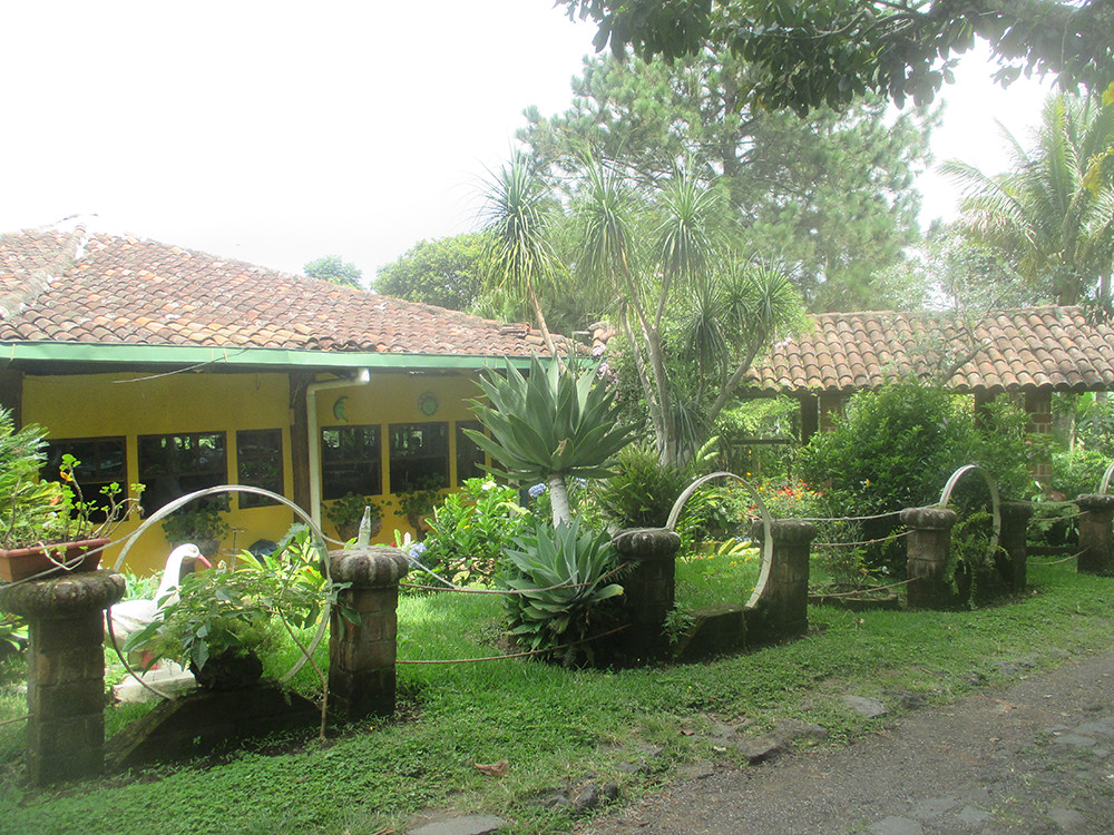
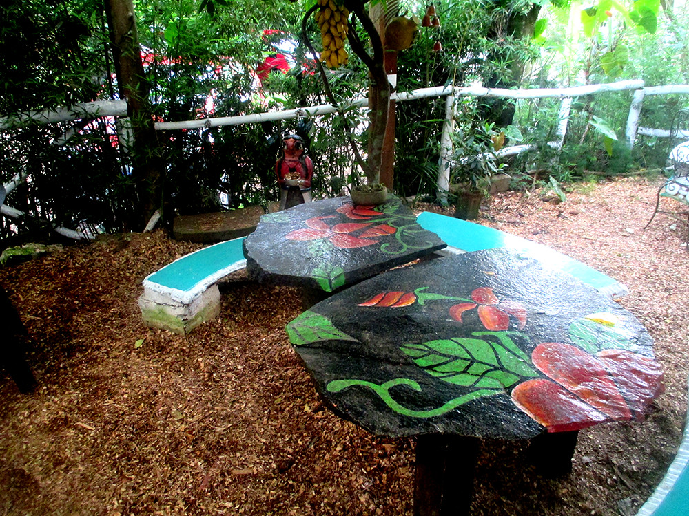
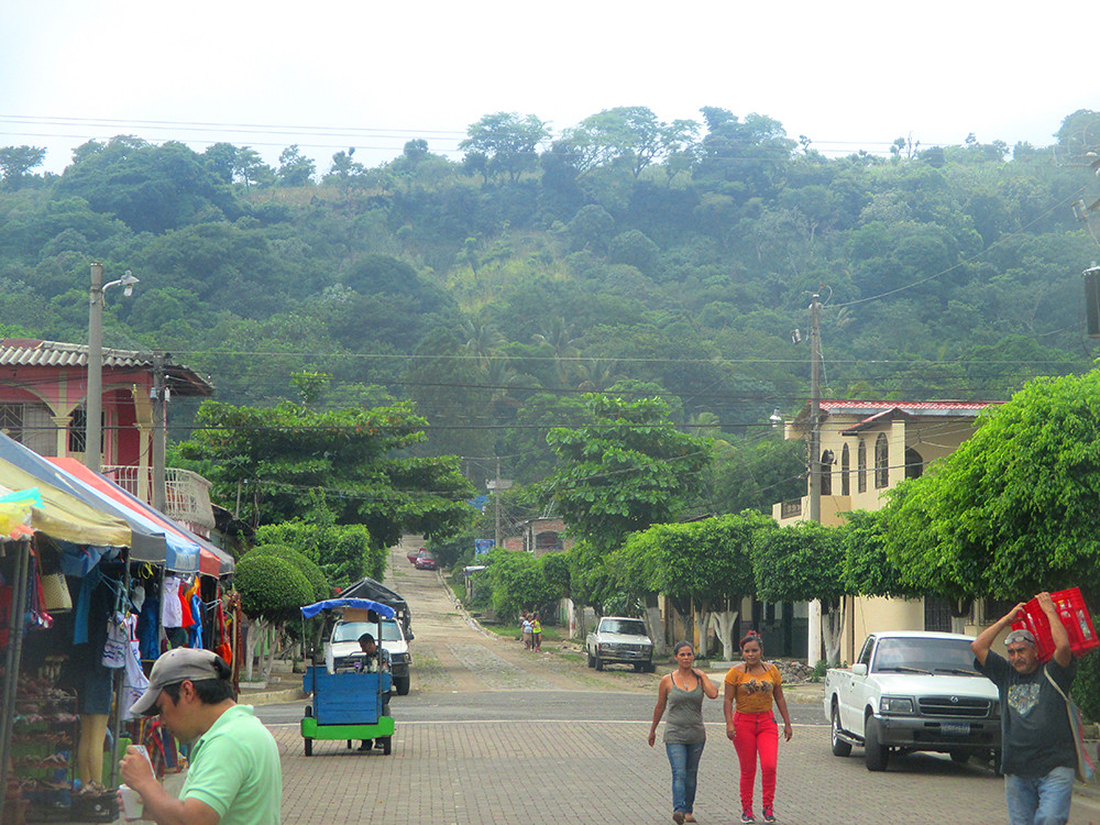
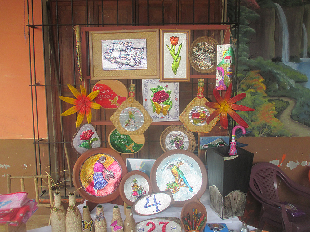
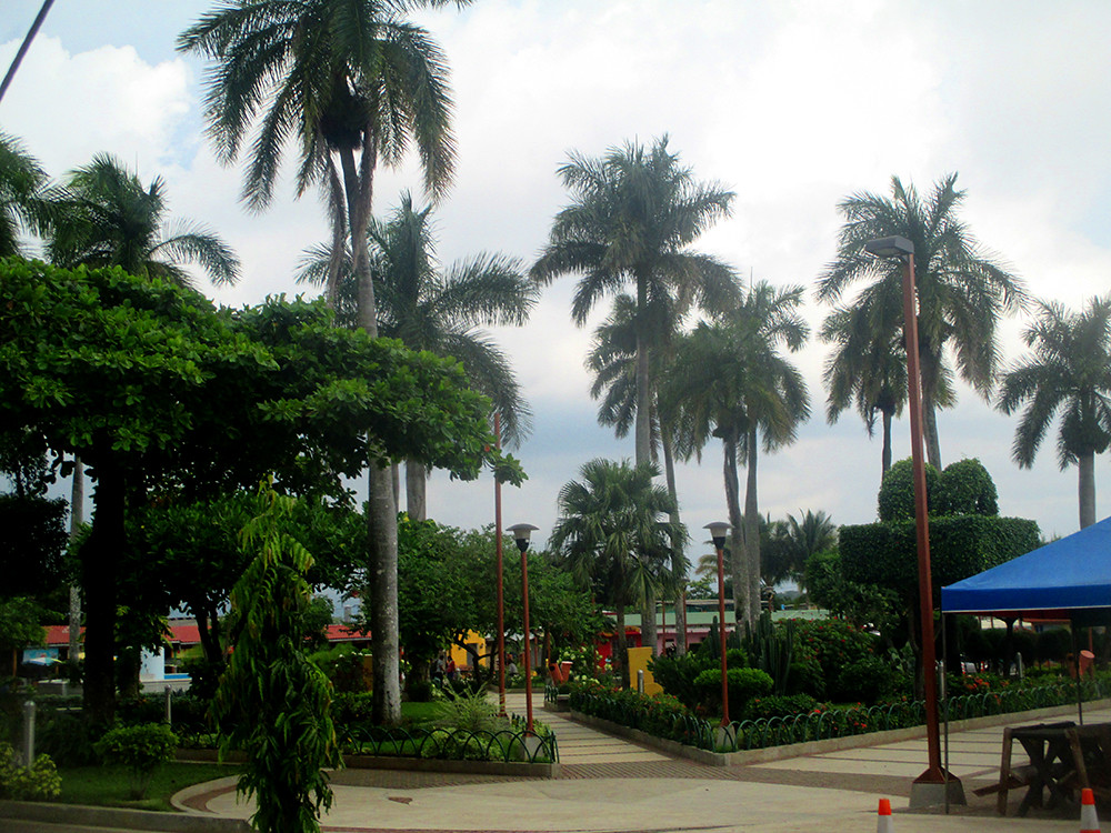
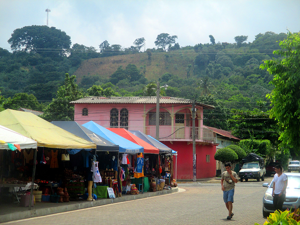
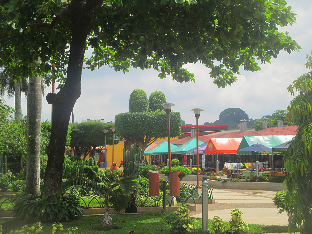
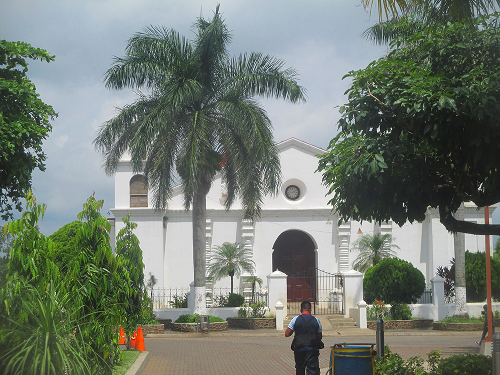
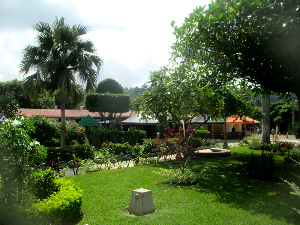
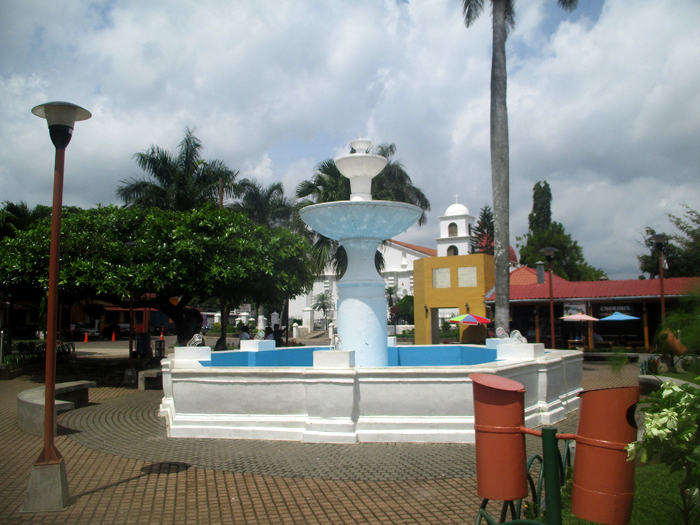
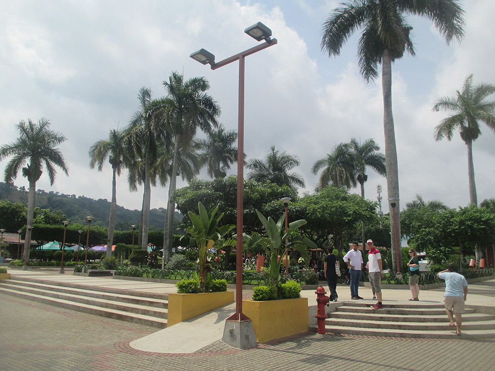
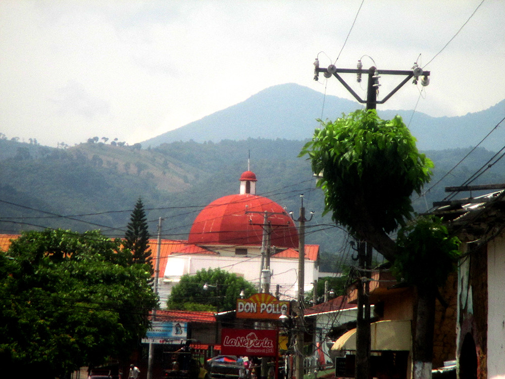
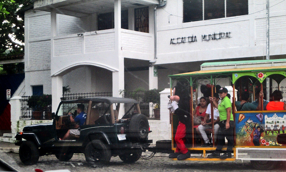
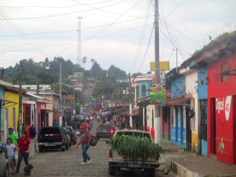
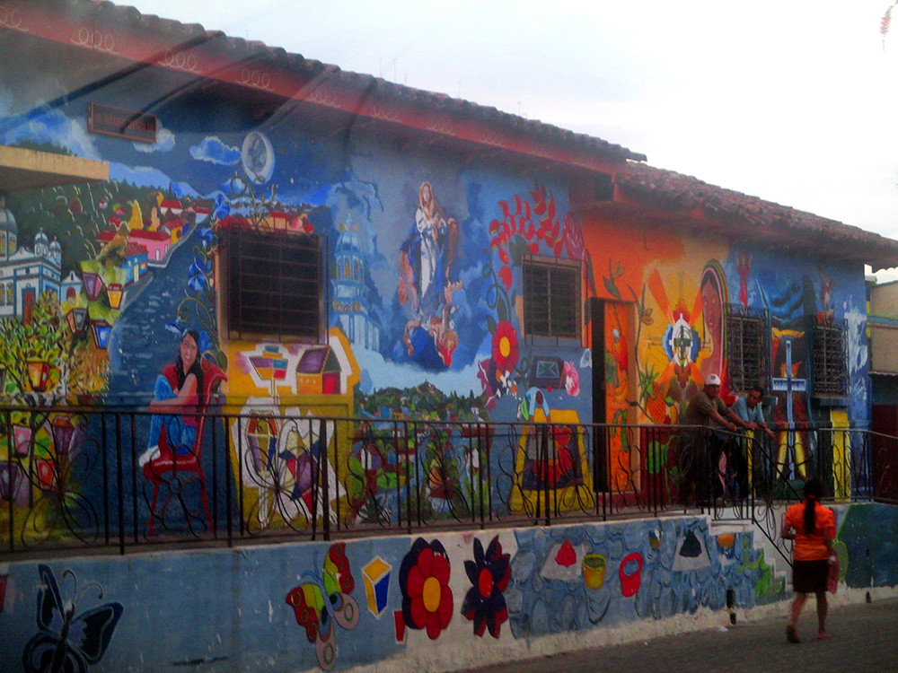
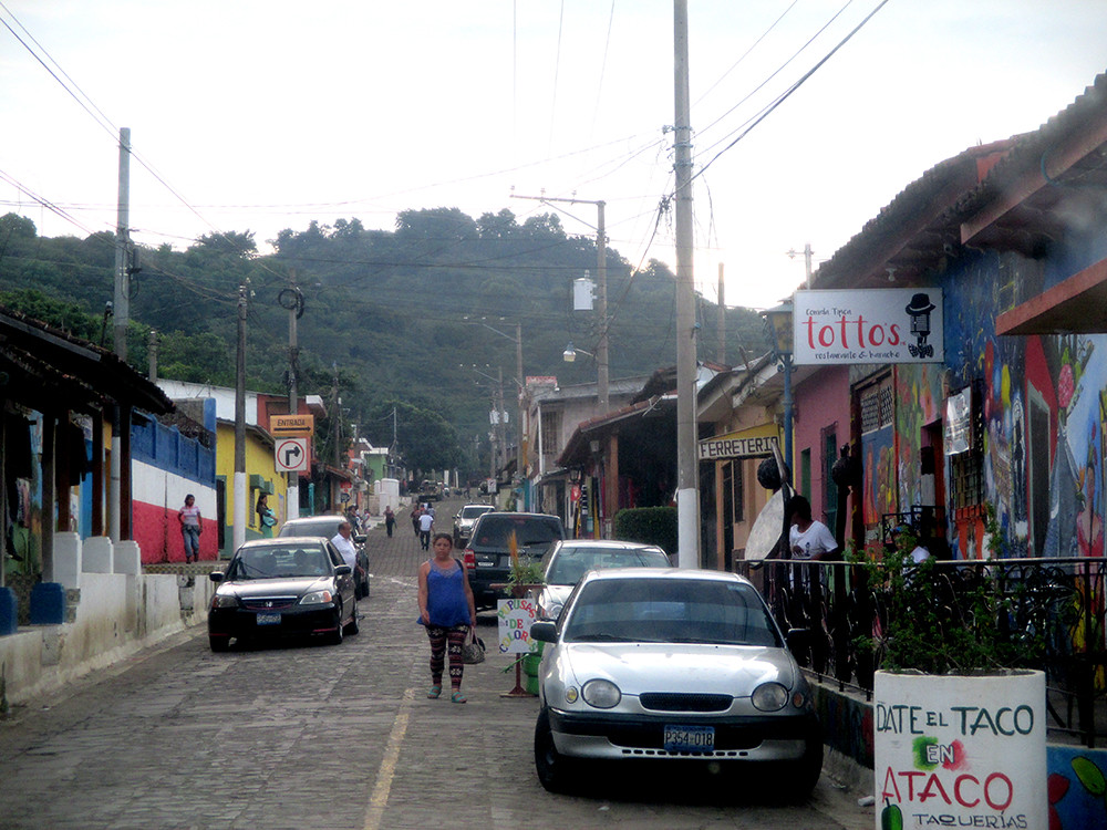
Santa Ana, the second largest city, and the 3rd largest, San Miguel are popular cities with stunning colourful colonial buildings. In small towns and villages you find charming native markets with cheap souvenirs and colonial churches. Ruta de las Flores is a popular road and tourist area where one can find charming villages, green mountains, nice hotels and restaurants and cafés with private gardens. It is a must to visit Ruta de la Flores, the Coatepeque volcano lake, San Salvador Volcano (Quezaltepec) -or Santa Ana volcano, and the historical core of the capital, San Salvador when in El Salvador. The ancient mayan town Tazumal with its pyramid, the beaches of Costa del Sol, some small towns like Ataco and Apaneca, and Santa Ana, are also highly recommended. Pupusa, beans and chicken are traditional dishes that are recommended to try. There is also much American influence in El Salvador, you will find American fastfood chains, stores and even signs in American. The currency is even, since 2001, US dollar! But don't expect everyone to speak English. Only some people, mostly in the cities, can speak English. The Spanish is also quite different from national Spanish.
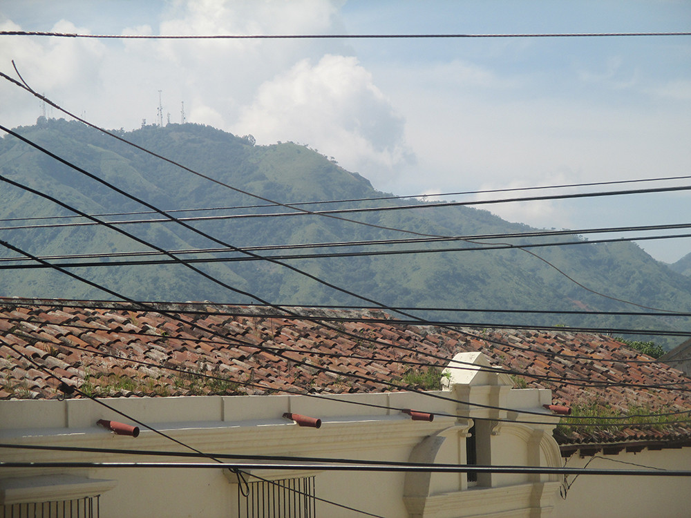
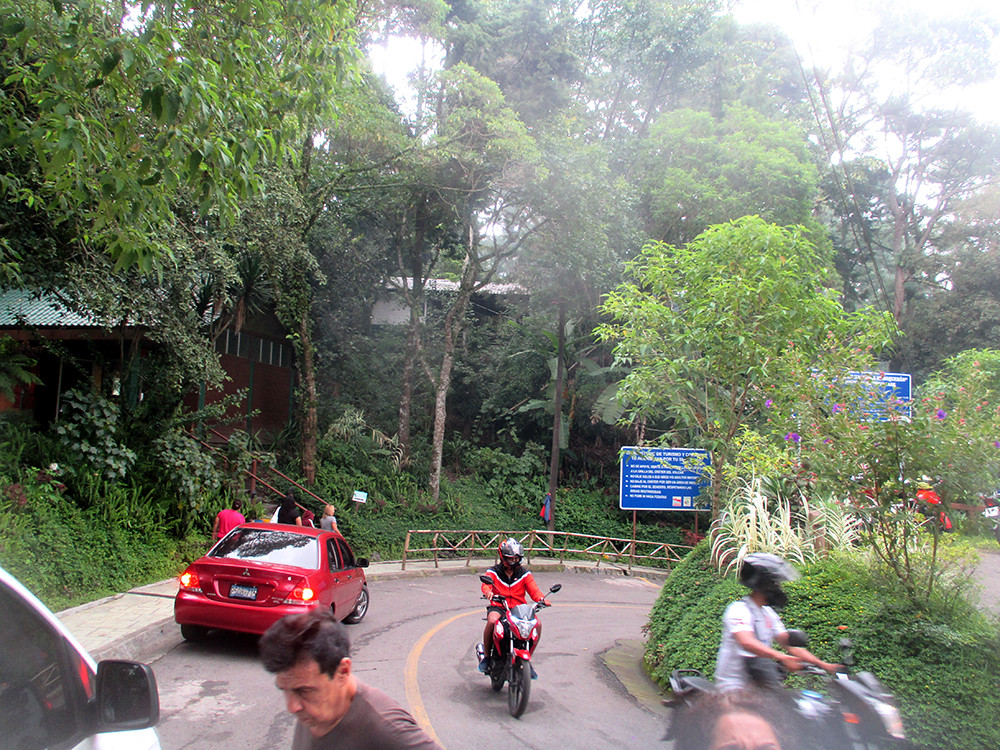
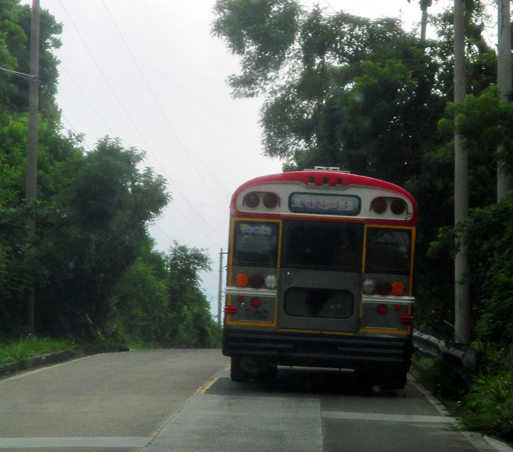
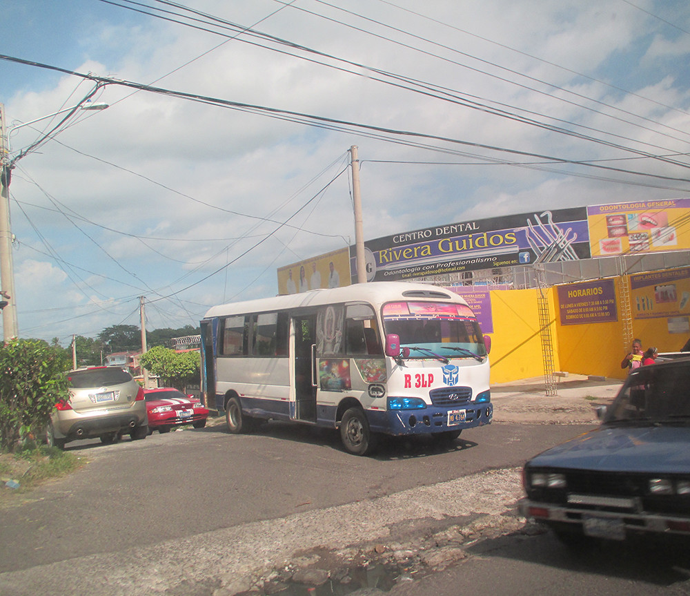
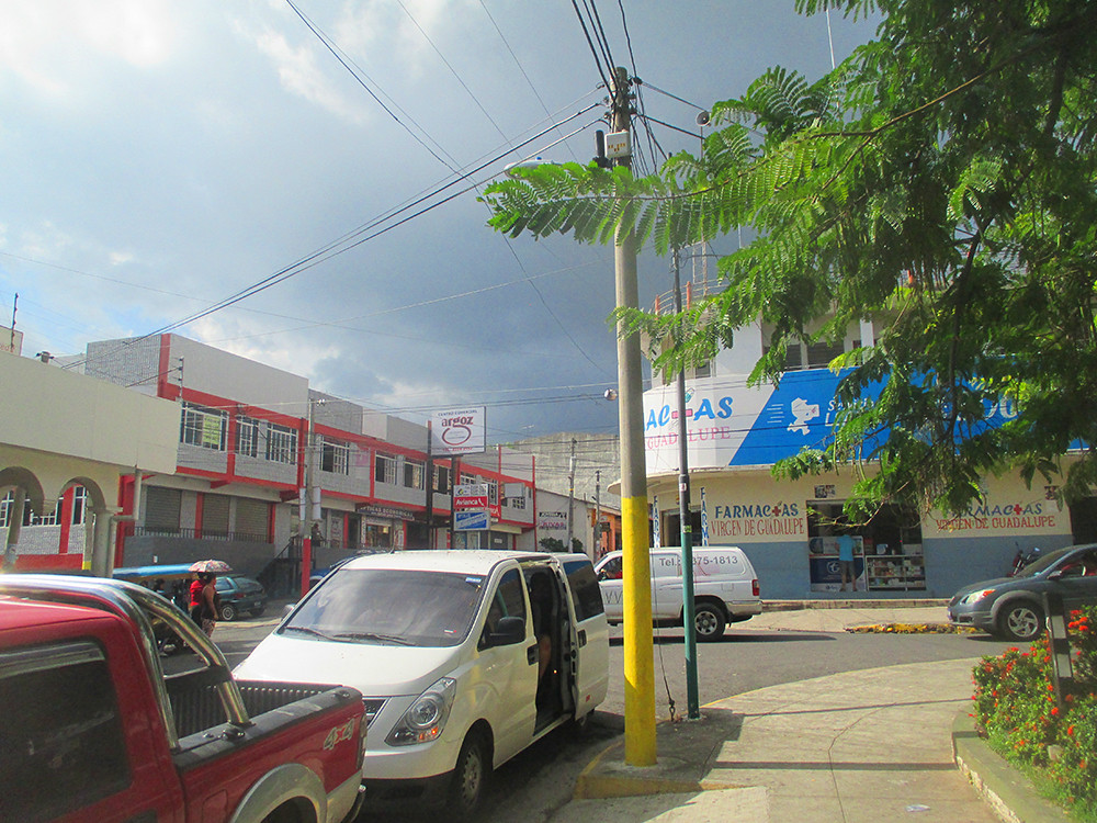
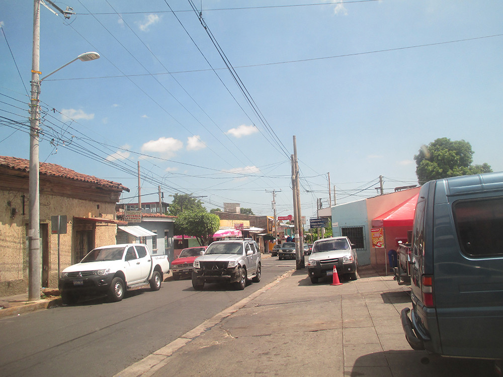
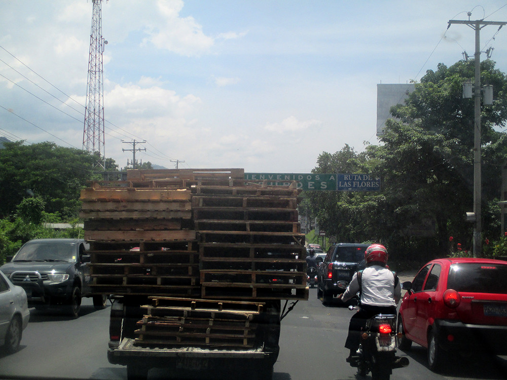
The climate is hot and humid all year round. Due to a long civil war, several severe earthquakes, poverty, threat of zika virus, bad roads and public transport, plus one of the world's highest crime rates, many people might be put off to visit El Salvador. Many roads are in very bad condition, especially on the countryside, and many people are very poor, many cars look like wrecks, but you will also see modern roads, ultra luxorious mega malls, large houses and new cars, especially in the capital. And there are many areas, gated community guarded by policemen with machine guns, were you will feel safe, at least if you don't disturb the order. El Salvador can be a very noisy country sometimes, you will hear (and probably be disturbed by) crackers 24 hours a day for some months in the summer and winter (even in residential areas), night guards with whistles noisy chickens and mobile street salesmen in the early morning!
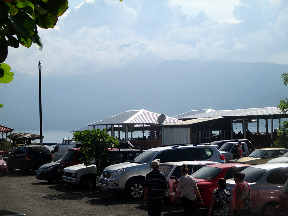
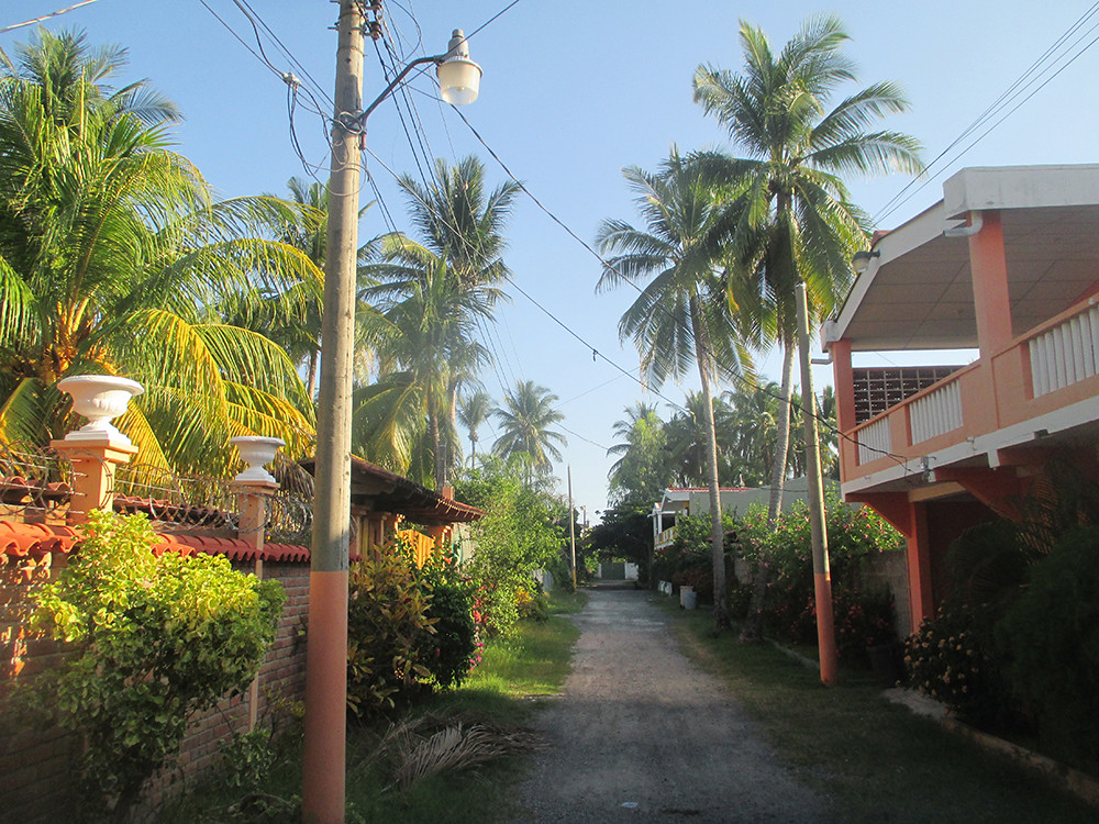
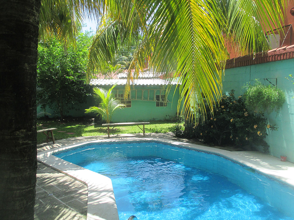
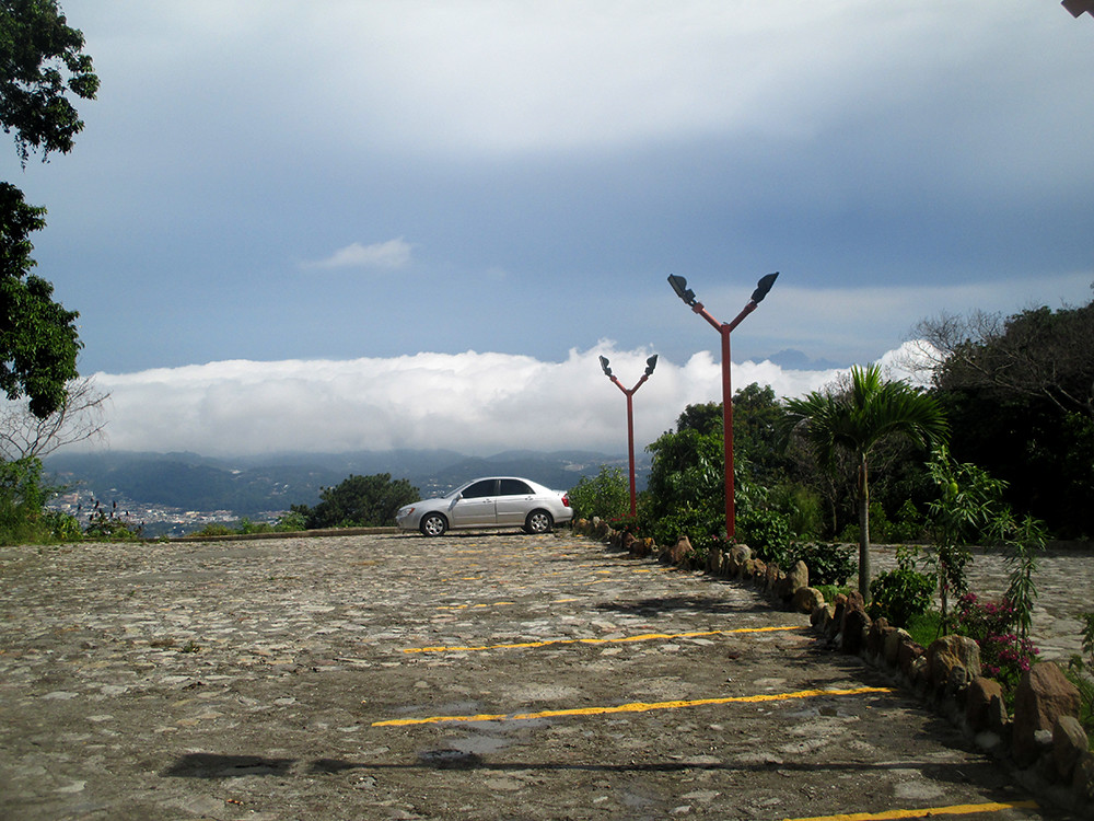
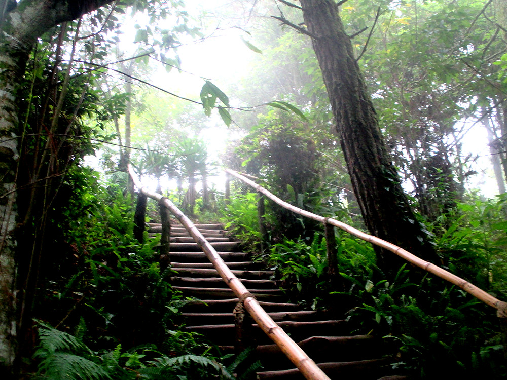
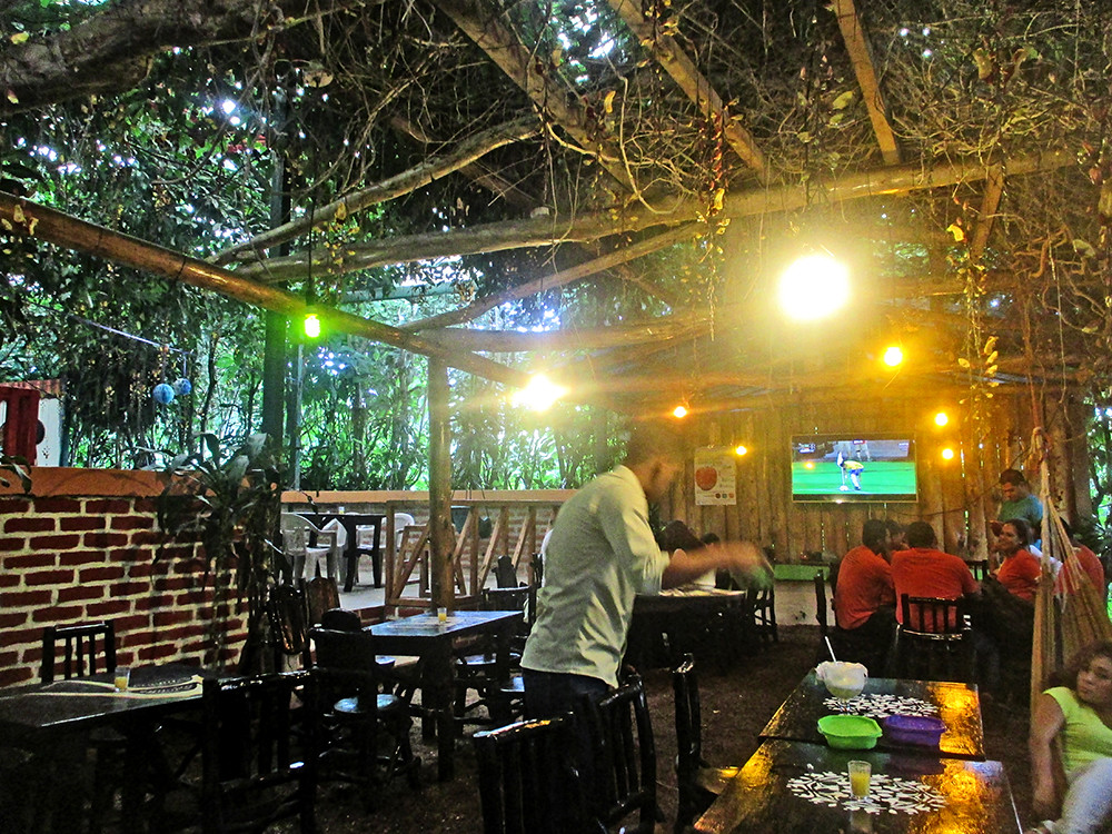
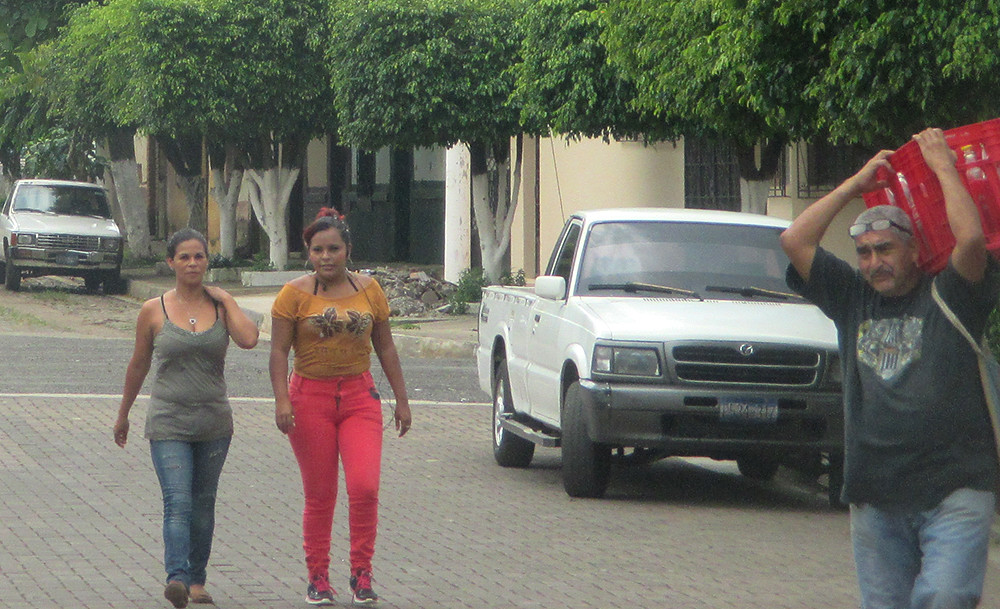
I had the opportunity to visit El Salvador (that means the Saviour in Spanish) in August 2016, since I could stay at friends' places and their relatives private houses. We rent a mini van and drove around. We didn't experience any of these difficulties mentioned, nor did it feel dangerous, and many parts were a lot more modern then expected. The only mishap that happened was a flat tire on a mountain road in Ruta del Flores. The traditional food is also very good, very underrated! You can also find dishes from all around the world. We used San Salvador and Santa Tecla as a base for our day trips. We flew to San Salvador from Copenhagen, via San José, Costa Rica, with Iberia and Avianca. The places we visited, are the ones represented in the thumbnail links further above.
HISTORY OF EL SALVADOR:
El Salvador was for centuries inhabited by several Mesoamerican nations, especially the Cuzcatlecs, as well as the Lenca and Maya. In the early 16th century, the Spanish Empire conquered the territory, incorporating it into the Viceroyalty of New Spain ruled from Mexico City. In 1821, the country achieved independence from Spain as part of the First Mexican Empire, only to further secede as part of the Federal Republic of Central America in 1823. Upon the republic's dissolution in 1841, El Salvador became sovereign until forming a short-lived union with Honduras and Nicaragua called the Greater Republic of Central America, which lasted from 1895 to 1898.
Source: Wikipedia
We also made a 2.5 half day trip to Guatemala City, about 7 hours by the cheap luxury bus Pullmantur (a very good, safe comfortable and luxorious yet not expensive bus company) from San Salvador, that will be featured in a separate thread.

http://worldtravelimages.net/El_Salvador.htm
__________________
Website about my travels in USA and Europe:
http://www.worldtravelimages.net

All my diagram drawings - more than 700!:
http://skyscraperpage.com/diagrams/?14670510
Reply With Quote
     
     
  #2  
Old Posted Dec 1, 2016, 2:13 PM
Nightsky's Avatar
Nightsky Nightsky is offline
Illustrator, editor
 
Join Date: Mar 2004
Location: Malmö
Posts: 3,690
LAGO DE COATEPEQUE:

Lago de Coatepeque is a lake that has been created in the crater of a volcano. The lake is situated in the Santa Ana department, just South of the city of Santa Ana (the country's second largest city). It is a very beautiful place to dwell. Coatepeque means "at the snake hill" in the native language Nahuatl. There is an island called Teopan, that was an important Mayan site. There are hot springs near the lake.

There are several restaurants to chose between on piers right above the lake, and in the mountains above the lake. They offer fine food (and a bit too loud live music for diining), are cheap and you get generous portions and drinks. We tried the restaurant La Octava Maravilla, built right above the lake. This area has a good standard in general and is an amazing place to visit, but straydogs, bad roads and disastrous public restrooms drag down the overall feeling. But this stunning natural beauty is still another proof that El Salvador is underrated as a tourist destination. During our visit, a miraculous light could be seen, due to heavy rain on the other side of the river.
Lago de Coatepeque 30 by worldtravelimages.net, on Flickr

Lago de Coatepeque 29 by worldtravelimages.net, on Flickr

Lago de Coatepeque 28 by worldtravelimages.net, on Flickr

Lago de Coatepeque 10 by worldtravelimages.net, on Flickr

Lago de Coatepeque 08 by worldtravelimages.net, on Flickr

Lago de Coatepeque 06 by worldtravelimages.net, on Flickr

Lago de Coatepeque 14 by worldtravelimages.net, on Flickr
Lago de Coatepeque 05 by worldtravelimages.net, on Flickr

Lago de Coatepeque 02 by worldtravelimages.net, on Flickr

Lago de Coatepeque 28 by worldtravelimages.net, on Flickr

Lago de Coatepeque 26 by worldtravelimages.net, on Flickr
Lago de Coatepeque 22 by worldtravelimages.net, on Flickr

Lago de Coatepeque 13 by worldtravelimages.net, on Flickr

Lago de Coatepeque 17 by worldtravelimages.net, on Flickr

Lago de Coatepeque 18 by worldtravelimages.net, on Flickr
Amazing rain light from the volcano lake!

http://worldtravelimages.net/ES_ Lago_Coatepeque.htm
__________________
Website about my travels in USA and Europe:
http://www.worldtravelimages.net

All my diagram drawings - more than 700!:
http://skyscraperpage.com/diagrams/?14670510
Reply With Quote
     
     
  #3  
Old Posted Dec 1, 2016, 2:13 PM
Nightsky's Avatar
Nightsky Nightsky is offline
Illustrator, editor
 
Join Date: Mar 2004
Location: Malmö
Posts: 3,690
COSTA DEL SOL

Costa del Sol, is, like its more famous namne in Spain, a coastal area with amazing beaches along the Pacific Ocean. But unlike its Spanish counterpart, this area in the La Paz department of El Salvador it is not touristy at all. The coastline is extremely beautiful with its surrounding hills and mountains, high palms, and wide long, untouched white beaches but it is very undeveloped. There are very few people on the beaches, only a few hotels, very few stores, and almost no restaurants at all can be found. On top of that the area is very rundown with neglect buildings, roads and cottages in bad shape. The area is situated just about one hour southeast by car from San Salvador, but despite the proximity to the capital there are not many people on the beaches, as mentioned. Probably because there are only one rundown, small road with a lots of holes and drifting cattle (that takes a additional hour to drive this short distance), ironically called Boulevard Costa del Sol. You cannot reach the beach without entering one of the cottages or hotels, because a huge, neglect wall, hides and blocks the sea from the road.
The service is often unfriendly and everything from buildings to public toilets are in bad shape. Desite the good location next to the sea, and the fact that some rich people have walled properties at the beach, mostly pour people and stray dogs live there. There are plans to develop the area, with money from American companies, and build hotels and roads. Let's hope that will happen, otherwise it will be hard to attract more international tourists there! The town of La Libertad seems more popular, because it is a popular surfing destination.
If you rent a cottage, the staff can be really rude, especially if you ask for "luxuries" like a working toilet (the lack of water is a big problem in the country), and the service non existence. But if you stick to one of the few large hotels, everything will work out just fine, just like in any modern hotel around the world. That said, it is still highly recommended to visit the Costa del Sol area if you are in El Salvador, but only stick to the hotels and stay there, and rent a good car to get there via the bumpy road. The waves are really high, so the beach is often flagged red. So it is a good place to surf, but can be really dangerous to swim. As long as you are prepared to all the discomforts, Costa del Sol is a really beautiful, undiscovered place where you get a good value for money.
We stayed for a few days at the 4-star Hotel Pacific Paradise. It was a good hotel right next to the beach with only 3 floors. It was not the most modern one but it had large rooms with working AC, a decent breakfast, good diner including free drinks, nice palms and large pool areas. The small lobby looked a bit spartanous though. Some international tourists stayed at this hotel during our visit.

(Sorry for the bad quality on some pictures, they were taken from a car window on a very bumpy road.)

Costa del Sol 35 by worldtravelimages.net, on Flickr

Costa del Sol 39 by worldtravelimages.net, on Flickr

Costa del Sol 36 by worldtravelimages.net, on Flickr

Costa del Sol 34 by worldtravelimages.net, on Flickr

Costa del Sol 22 by worldtravelimages.net, on Flickr

Costa del Sol 19 by worldtravelimages.net, on Flickr
Private cottage village.

http://worldtravelimages.net/ES_Costa_del_Sol.htm
__________________
Website about my travels in USA and Europe:
http://www.worldtravelimages.net

All my diagram drawings - more than 700!:
http://skyscraperpage.com/diagrams/?14670510
Reply With Quote
     
     
  #4  
Old Posted Dec 1, 2016, 4:48 PM
Nightsky's Avatar
Nightsky Nightsky is offline
Illustrator, editor
 
Join Date: Mar 2004
Location: Malmö
Posts: 3,690
__________________
Website about my travels in USA and Europe:
http://www.worldtravelimages.net

All my diagram drawings - more than 700!:
http://skyscraperpage.com/diagrams/?14670510
Reply With Quote
     
     
  #5  
Old Posted Dec 2, 2016, 1:46 PM
Nightsky's Avatar
Nightsky Nightsky is offline
Illustrator, editor
 
Join Date: Mar 2004
Location: Malmö
Posts: 3,690
__________________
Website about my travels in USA and Europe:
http://www.worldtravelimages.net

All my diagram drawings - more than 700!:
http://skyscraperpage.com/diagrams/?14670510
Reply With Quote
     
     
  #6  
Old Posted Dec 2, 2016, 1:47 PM
Nightsky's Avatar
Nightsky Nightsky is offline
Illustrator, editor
 
Join Date: Mar 2004
Location: Malmö
Posts: 3,690
SANTA ANA
- Parque Libertad, Catedral de Santa Ana, Teatro de Santa Ana, Palacio Municipal

Population: 275 000
Department: Santa Ana
Founded: Independent from Sonsonate in 1824
Elevation: 665m
Tallest building: Cathedral of Santa Ana

Santa Ana is the second largest city of El Salvador. It is situated in the West part of the country, close to the border to Guatemala. In the vicitniy you find the Santa Ana volcano, Ruta de la Flores, Tazumal (Mayan pyramids) and many other attractions. Santa Ana is known for its coffee bean industry. The city is not very developed, and feels much smaller then it is, like the center of small villages that grown together. But around Parque Libertad, the square that is the heart of the city, there are several beautiful structures in colourful heritage style. The most significant of them is the Cathedral, Catedral de Santa Ana. It was built in 1906 and features a splendid white gothic facade. The cathedral is probably the most beautiful in the whole country (more beautiful then the one in San Salvador). Santa Ana is a very religious catholic city, and has a lot of other churches as well.
Teatro de Santa Ana, the Theatre, is a beautiful light green heritage building from 1910, just at Parque Libertad. Palacio Municipal, a yellow heritage building with columns, also at Parque Libertad, is the City Hall of Santa Ana. Santa Ana also features a few musuems, a small zoological park and a Palestian mosque.
The Metrocentro in the outskirts is the largest shopping mall, and probably the most modern building in Santa Ana.
Be careful, avoid to walk around after dark, not only because the high risk of robbery, but also because many pavements are in a very bad conditions, with 10cm deep holes.
It is more safe to walk on the road, when the traffic is not too busy. However the roads in Santa Ana and other major cities, are much better then on the countryside and in small towns and villages.
We visited the city briefly, for less then an hour, enough to walk around the square, see the main sights and visit the cathedral. It is considered an important tourist destination, but there are not many hotels in the city and the inhabitants look very surprised when they see foreign tourists.

Santa Ana 19 by worldtravelimages.net, on Flickr
The cathedral in Santa Ana is in my opinion the most beautiful in El Salvador.

Santa Ana 49 by worldtravelimages.net, on Flickr

Santa Ana 45 by worldtravelimages.net, on Flickr
Santa Ana 21 by worldtravelimages.net, on Flickr

Santa Ana 17 by worldtravelimages.net, on Flickr
Santa Ana 14 by worldtravelimages.net, on Flickr
Parque Libertad is the name of the main square of Santa Ana, just like in San Salvador. Here is where you find the most beautiful and important buildings.
Santa Ana 12 by worldtravelimages.net, on Flickr

Santa Ana 11 by worldtravelimages.net, on Flickr
The theatre, Teatro de Santa Ana.

Santa Ana 10 by worldtravelimages.net, on Flickr
Santa Ana 61 by Nightsky, on Flickr
Santa Ana 08 by worldtravelimages.net, on Flickr
Santa Ana 59 by worldtravelimages.net, on Flickr
Santa Ana 16 by Nightsky, on Flickr
Santa Ana 07 by worldtravelimages.net, on Flickr
Parque Libertad.
Santa Ana 58 by worldtravelimages.net, on Flickr
Santa Ana 06 by worldtravelimages.net, on Flickr
The theatre, Teatro de Santa Ana.
Santa Ana 05 by worldtravelimages.net, on Flickr
Palacio Municipal, the City Hall.
.

Santa Ana 62 by worldtravelimages.net, on Flickr
Backside of Palacio Municipal.
Santa Ana 15 by Nightsky, on Flickr
Santa Ana 13 by Nightsky, on Flickr
Palacio Municipal, the City Hall

http://worldtravelimages.net/Santa_Ana.htm
__________________
Website about my travels in USA and Europe:
http://www.worldtravelimages.net

All my diagram drawings - more than 700!:
http://skyscraperpage.com/diagrams/?14670510
Reply With Quote
     
     
  #7  
Old Posted Dec 4, 2016, 10:09 PM
Nightsky's Avatar
Nightsky Nightsky is offline
Illustrator, editor
 
Join Date: Mar 2004
Location: Malmö
Posts: 3,690
__________________
Website about my travels in USA and Europe:
http://www.worldtravelimages.net

All my diagram drawings - more than 700!:
http://skyscraperpage.com/diagrams/?14670510
Reply With Quote
     
     
  #8  
Old Posted Dec 12, 2016, 9:37 PM
Nightsky's Avatar
Nightsky Nightsky is offline
Illustrator, editor
 
Join Date: Mar 2004
Location: Malmö
Posts: 3,690
__________________
Website about my travels in USA and Europe:
http://www.worldtravelimages.net

All my diagram drawings - more than 700!:
http://skyscraperpage.com/diagrams/?14670510
Reply With Quote
     
     
  #9  
Old Posted Dec 15, 2016, 5:31 PM
Nightsky's Avatar
Nightsky Nightsky is offline
Illustrator, editor
 
Join Date: Mar 2004
Location: Malmö
Posts: 3,690
SAN SALVADOR VOLCANO - Quetzaltepec
- Boquerón Volcano Valley

San Salvador, the capital, is situated in the Boquerón Volcano Valley. The highest volcano is Quetzaltepec, or the San Salvador Volcano, that can be seen from almost all over the city and still has seismic activity. It is situated just West of San Salvador, and is part of the bordering La Libertad department. Part of it is situated in Santa Tecla. The highest point is situated at a height of 1 893m above the sea. Several TV and radio antennas are situated on the Picacho peaks above the crater. The highest peak, El Picacho, is situated at en elevation of 1,96km. The volcano is a famous symbol of San Salvador, but an eruption can lead to a catastrophic devastation of the city! The most recent eruption was in 1917. Before this eruption there was a lagoon inthe crater! The Boqueron edifice was formed 700-1000 years ago.
We drow up through narrow, steep, curvy roads up to the top of the volcano, Parque el Boqueron, that has a museum about the vegetation and lots of vegetation. From there, steep stairs lead upwards to a viewing point. Right above it are all tall TV masts. There are fancy restaurants with amazing views, along the way to the top of the volcno, like La Pampa el Volcan that we visited in the late evening and Plaza Volcan.

Quetzaltepec from West San Salvador 02 by worldtravelimages.net, on Flickr
San Salvador volcano from the city.

VIEWS FROM THE VOLCANO:

Views from Quetzaltepec 05 by worldtravelimages.net, on Flickr
San Salvador west suburbs from the volcano
Views from Quetzaltepec 06 by worldtravelimages.net, on Flickr

Views from Quetzaltepec 04 by worldtravelimages.net, on Flickr
Views from Quetzaltepec 02 by worldtravelimages.net, on Flickr
Views from Quetzaltepec 11 by worldtravelimages.net, on Flickr
Views from Quetzaltepec 10 by worldtravelimages.net, on Flickr
Views from Quetzaltepec 07 by Nightsky, on Flickr


QUETZALTEPEC, LOOKING DOWN THE CRATER, views of the mountians:

Quetzaltepec 22 by Nightsky, on Flickr
Quetzaltepec 16 by Nightsky, on Flickr

Quetzaltepec 15 by Nightsky, on Flickr

Quetzaltepec 21 by Nightsky, on Flickr

Quetzaltepec 18 by Nightsky, on Flickr

Quetzaltepec 13 by Nightsky, on Flickr

Quetzaltepec 09 by Nightsky, on Flickr
Quetzaltepec 07 by Nightsky, on Flickr

Quetzaltepec 04 by Nightsky, on Flickr
__________________
Website about my travels in USA and Europe:
http://www.worldtravelimages.net

All my diagram drawings - more than 700!:
http://skyscraperpage.com/diagrams/?14670510
Reply With Quote
     
     
  #10  
Old Posted Dec 15, 2016, 5:31 PM
Nightsky's Avatar
Nightsky Nightsky is offline
Illustrator, editor
 
Join Date: Mar 2004
Location: Malmö
Posts: 3,690
Quetzaltepec 45 by Nightsky, on Flickr

Quetzaltepec 44 by Nightsky, on Flickr

Quetzaltepec 43 by Nightsky, on Flickr

Quetzaltepec 42 by Nightsky, on Flickr
This mast os the highest structure, all over El Salvador!
Quetzaltepec 41 by Nightsky, on Flickr

Quetzaltepec 36 by Nightsky, on Flickr
Quetzaltepec 33 by Nightsky, on Flickr
Quetzaltepec 31 by Nightsky, on Flickr
Quetzaltepec 30 by Nightsky, on Flickr
Quetzaltepec 29 by Nightsky, on Flickr

http://worldtravelimages.net/San_Salvador_Volcano.htm
__________________
Website about my travels in USA and Europe:
http://www.worldtravelimages.net

All my diagram drawings - more than 700!:
http://skyscraperpage.com/diagrams/?14670510
Reply With Quote
     
     
  #11  
Old Posted Dec 15, 2016, 7:16 PM
shakman's Avatar
shakman shakman is offline
Chairman
 
Join Date: Jun 2002
Location: PRMD - People's Republic of Maryland
Posts: 2,670
Great pics. Especially of Quetzaltepec
__________________
"I measure the value of life not by how much I have, instead by what I have done.

-sb
Reply With Quote
     
     
  #12  
Old Posted Dec 16, 2016, 2:29 PM
Centropolis's Avatar
Centropolis Centropolis is offline
disneypilled verhoevenist
 
Join Date: Nov 2009
Location: saint louis
Posts: 11,866


whoa
__________________
You may Think you are vaccinated but are you Maxx-Vaxxed ™!? Find out how you can “Maxx” your Covid-36 Vaxxination today!
Reply With Quote
     
     
  #13  
Old Posted Dec 16, 2016, 5:42 PM
Nightsky's Avatar
Nightsky Nightsky is offline
Illustrator, editor
 
Join Date: Mar 2004
Location: Malmö
Posts: 3,690
Thanks!

ROAD TO THE VOLCANO NEAR SAN SALVADOR:

Quetzaltepec 01 by Nightsky, on Flickr

Quetzaltepec 54 by Nightsky, on Flickr
__________________
Website about my travels in USA and Europe:
http://www.worldtravelimages.net

All my diagram drawings - more than 700!:
http://skyscraperpage.com/diagrams/?14670510
Reply With Quote
     
     
  #14  
Old Posted Dec 28, 2016, 10:41 AM
Nightsky's Avatar
Nightsky Nightsky is offline
Illustrator, editor
 
Join Date: Mar 2004
Location: Malmö
Posts: 3,690
ZACATECOLUCA:

Population: 66 000
Department: La Paz
Founded: 1852
Elevation: 149m

This page is about our very brief visit to Zacatecoluca, the capital of the La Paz department. This midsized city is situated in the middle part of El Salvador, East of San Salvador. Santa Lucia Cathedral, or Catedral Nuestra Señora de los Pobresa, a beautiful tall white catholic church, is the most central building in the city. The old Santa Lucia church was torn down to build a supermarket (due to bad economy)! At the main square, Parque José Simeon Cañas, there are also impressive sculptures and monuments, trees and palms.

There is a nice water park in the outskirts of the city, called Ichanmichen. Here visitors can swim with fishes, that eat from their skin to prevent skin diseases. During our visit, a guy was arrested, nothing too dramatic though! The city is close to the San Vicente Volcano.

Zacatecoluca 14 by Nightsky, on Flickr
Zacatecoluca 08 by Nightsky, on Flickr
Zacatecoluca 11 by Nightsky, on Flickr
Zacatecoluca 09 by Nightsky, on Flickr

Zacatecoluca 07 by Nightsky, on Flickr
Zacatecoluca 06 by Nightsky, on Flickr

Zacatecoluca 02 by Nightsky, on Flickr

Zacatecoluca 01 by Nightsky, on Flickr

http://worldtravelimages.net/ES_ Zacatecoluca.htm
__________________
Website about my travels in USA and Europe:
http://www.worldtravelimages.net

All my diagram drawings - more than 700!:
http://skyscraperpage.com/diagrams/?14670510
Reply With Quote
     
     
  #15  
Old Posted Dec 28, 2016, 11:38 AM
Nightsky's Avatar
Nightsky Nightsky is offline
Illustrator, editor
 
Join Date: Mar 2004
Location: Malmö
Posts: 3,690
ICHENMICHEN WATER PARK, ZACATECOLUCA:

Ichanmichen water park 08 by Nightsky, on Flickr

Ichanmichen water park 07 by Nightsky, on Flickr
Ichanmichen water park 03 by Nightsky, on Flickr

Ichanmichen water park 02 by Nightsky, on Flickr
__________________
Website about my travels in USA and Europe:
http://www.worldtravelimages.net

All my diagram drawings - more than 700!:
http://skyscraperpage.com/diagrams/?14670510
Reply With Quote
     
     
  #16  
Old Posted Dec 30, 2016, 11:08 AM
IMBY IMBY is offline
Registered User
 
Join Date: Sep 2012
Location: Tucson, AZ
Posts: 1,161
Thanks everso much for all those photo uploads, and I just to have to see one of those chicken buses, and I'm ready to fly down there and jump on the next one I see, as I loved all my chicken bus rides all over El Salvador.

I saw a concert at Teatro Santa Ana when there.

Also did Ruta de Flores out of Auchipan, and Las Palmas, San Vicente, San Marco.

I thought the people in El Salvador were among the nicest people I've ever encountered on this planet.

It's a shame that so few tourists travel to this small, delightful country, too scared off with the media reports. All the time there, I felt as safe there as anywhere else I've traveled to.
Reply With Quote
     
     
  #17  
Old Posted Jan 2, 2017, 12:45 PM
Nightsky's Avatar
Nightsky Nightsky is offline
Illustrator, editor
 
Join Date: Mar 2004
Location: Malmö
Posts: 3,690
Quote:
Originally Posted by IMBY View Post
Thanks everso much for all those photo uploads, and I just to have to see one of those chicken buses, and I'm ready to fly down there and jump on the next one I see, as I loved all my chicken bus rides all over El Salvador.

I saw a concert at Teatro Santa Ana when there.

Also did Ruta de Flores out of Auchipan, and Las Palmas, San Vicente, San Marco.

I thought the people in El Salvador were among the nicest people I've ever encountered on this planet.

It's a shame that so few tourists travel to this small, delightful country, too scared off with the media reports. All the time there, I felt as safe there as anywhere else I've traveled to.
Like I also replied at SSC, you are right! For example, I have seen more gangs in most European cities the in ES.
__________________
Website about my travels in USA and Europe:
http://www.worldtravelimages.net

All my diagram drawings - more than 700!:
http://skyscraperpage.com/diagrams/?14670510
Reply With Quote
     
     
  #18  
Old Posted Jan 2, 2017, 12:57 PM
Nightsky's Avatar
Nightsky Nightsky is offline
Illustrator, editor
 
Join Date: Mar 2004
Location: Malmö
Posts: 3,690
VARIOUS FROM RUTA DE LAS FLORES:

Ruta de las Flores is a road and an area in the Ahuachapan and Sonsonate departments, in the West part of El Salvador. It is know for its flowers, coffee production, former cotton industry, native villages, markets, craft tiendas, pupuserias (small restaurants that serve local food) and picturesque cafés and restaurants that feature their own beautiful gardens. The area is very nice, but the roads are rough. We got a flat tire on our mini van. There was very bad equipment in the rental car, but some truck drivers helped us.
On the countryside you also see the typical charming 3 wheel moped taxis that you also can see in other developing countries, such as Guatemala, India and Sri Lanka. They are red in El Salvador. You also see the former American school buses everywhere, transformed to local buses in large parts of Central America. There are many places were you can buy traditional things from the friendly native people. There is a beautiful waterfall in the Ruta las Flores area (in Juayua), that we unfortunately were not aware of during our visit. But we stopped at several places that had amazing views over the green mountains!

Lourdes 01 by worldtravelimages.net, on Flickr
The town of Lourdes.
RESTAURANT LA COLINA:
Ruta de las Flores - La Colina 07 by worldtravelimages.net, on Flickr

Ruta de las Flores - La Colina 06 by worldtravelimages.net, on Flickr

Ruta de las Flores - La Colina 03 by worldtravelimages.net, on Flickr

Ruta de las Flores - La Colina 01 by worldtravelimages.net, on Flickr

CAFÉ VIVERO:
Ruta de las Flores - Café Vivero 21 by worldtravelimages.net, on Flickr
Ruta de las Flores - Café Vivero 14 by worldtravelimages.net, on Flickr

Ruta de las Flores - Café Vivero 16 by worldtravelimages.net, on Flickr

Ruta de las Flores - Café Vivero 01 by worldtravelimages.net, on Flickr

http://www.worldtravelimages.net/ES_Ruta_Flores.html
__________________
Website about my travels in USA and Europe:
http://www.worldtravelimages.net

All my diagram drawings - more than 700!:
http://skyscraperpage.com/diagrams/?14670510
Reply With Quote
     
     
  #19  
Old Posted Jan 2, 2017, 12:58 PM
Nightsky's Avatar
Nightsky Nightsky is offline
Illustrator, editor
 
Join Date: Mar 2004
Location: Malmö
Posts: 3,690
NAHUIZALCO:

Population: 49 000. Department: Sonsonate.

Nahuizalco is situated in the popular Ruta de las Flores area and means i"place of four Izalcos" in the Nahuatl language. The colonial white church, that is the town's most significant building, was seriously damaged during the earthquake in 2001, and is being restored. The city has a small museum, with displays of native objects, and some info on Carl Vilhelm Hartman, the Swedish botanist and anthropologist from Örebro, that made exhibtions to El Salvador, Mexico and other Central Amerian countries.
There are also nice, native markets and a beautful, and Parque Municipal, a very green park/plaza with fountains and sculptures, that you can find in most El Salvadorian towns and cities.
Nahuizalco 26 by worldtravelimages.net, on Flickr
Nahuizalco 26b by worldtravelimages.net, on Flickr

Nahuizalco 24 by worldtravelimages.net, on Flickr

Nahuizalco 23 by worldtravelimages.net, on Flickr
Nahuizalco 22 by worldtravelimages.net, on Flickr
Nahuizalco 21 by worldtravelimages.net, on Flickr

Nahuizalco 20 by worldtravelimages.net, on Flickr
Nahuizalco 18 by worldtravelimages.net, on Flickr
Swedish botanist, famous in ES!

Nahuizalco 17 by worldtravelimages.net, on Flickr

Nahuizalco 11 by worldtravelimages.net, on Flickr

Nahuizalco 10 by worldtravelimages.net, on Flickr

Nahuizalco 09 by worldtravelimages.net, on Flickr

Nahuizalco 07 by worldtravelimages.net, on Flickr

Nahuizalco 05 by worldtravelimages.net, on Flickr

Nahuizalco 01 by worldtravelimages.net, on Flickr

Nahuizalco 27 by worldtravelimages.net, on Flickr

http://www.worldtravelimages.net/ES_...tml#Nahuizalco
__________________
Website about my travels in USA and Europe:
http://www.worldtravelimages.net

All my diagram drawings - more than 700!:
http://skyscraperpage.com/diagrams/?14670510
Reply With Quote
     
     
  #20  
Old Posted Jan 5, 2017, 1:19 PM
Nightsky's Avatar
Nightsky Nightsky is offline
Illustrator, editor
 
Join Date: Mar 2004
Location: Malmö
Posts: 3,690
CONCEPCIÓN DE ATACO:

Population: 18 101. Department: Ahuachapán.

Often called just Ataco, that means "high place of springs" in Nahuatl. Situated in the Apaneca Mountain Range. Ataos's population has pre-Columbian origin and was founded by Yaqui Indianl. There are many markets selling native souvenirs, craft tiendas and beautiful cafés, in the town. Despite being so small, Ataco is somewhat of a nightlife hub with several night clubs and restaurants, and people strolling around looking for a party. The atmosphere is much more genuine then in for example San Salvador. Ataco has the typical El Salvadorian Parque/Plaza in the heart of the town, beautiful with much greenery, a merry-go-around and of course a nice church next to it. There are many charming features in this town, like a jeep train that drives visitors around, a VW Beetle rebuilt to a food stand and an arcade, Arcadia Municipal where you can buy heavy metal lamps and other odd objectss!
We stayed at the Hotel Santo Domingo in Ataco, a very picturesque, small hotel that is built around a beautiful courtyard. The staff doesn't know English and was a bit confused but the place is overall very friendly. There are crafts and flowers everywhere and it is situated in the vibrant heart of Ataco (leading to noise of course). The room was cozy, even though it had no window, but it had a very high ceiling.

Ataco 06 by worldtravelimages.net, on Flickr

Ataco 04 by worldtravelimages.net, on Flickr
Ataco 02 by worldtravelimages.net, on Flickr

Ataco 01 by worldtravelimages.net, on Flickr

http://www.worldtravelimages.net/ES_...res.html#Ataco
__________________
Website about my travels in USA and Europe:
http://www.worldtravelimages.net

All my diagram drawings - more than 700!:
http://skyscraperpage.com/diagrams/?14670510
Reply With Quote
     
     
This discussion thread continues

Use the page links to the lower-right to go to the next page for additional posts
 
 
Reply

Go Back   SkyscraperPage Forum > Photography Forums > My City Photos
Forum Jump


Forum Jump


All times are GMT. The time now is 10:25 AM.

     
SkyscraperPage.com - Archive - Privacy Statement - Top

Powered by vBulletin® Version 3.8.7
Copyright ©2000 - 2024, vBulletin Solutions, Inc.