Pittsburgh's Downtown is a compact area of the city formed by the confluence of the Allegheny River with the Monongahela River to form the Ohio River. This peninsula is constrained on the land side by the steeper elevations of the Hill District, although thin neighborhoods (Strip District and Bluff) stretch along the riverfronts at lower elevations similar to Downtown. 11 bridges (1 is rail-only) link the neighborhood to the North Shore and the South Side across the rivers. The triangle of mostly flat land composing Downtown is fairly densely developed, and organized with a primary grid street pattern that meets a smaller grid street pattern at an approximately 45-degree angle along a major street, Liberty Avenue. The city was laid out in 1784, but little of the 18th century development remains; instead, the majority of development is an impressive array of late 19th to early 20th century buildings, combined with a considerable amount of mid-to-late 20th century highrises. Recent developments of the past decade tend to be low-to midrises with a lesser impact on the skyline, but undoubtedly there will be much larger contemporary highrises for this lively city with a bright future. This thread will focus on the developments from the mid-20th century to the present.
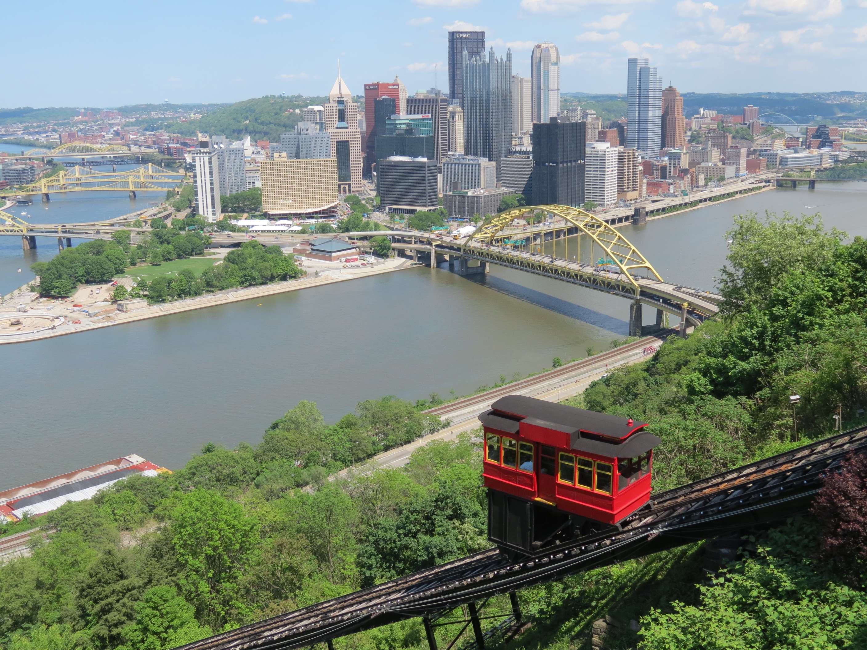
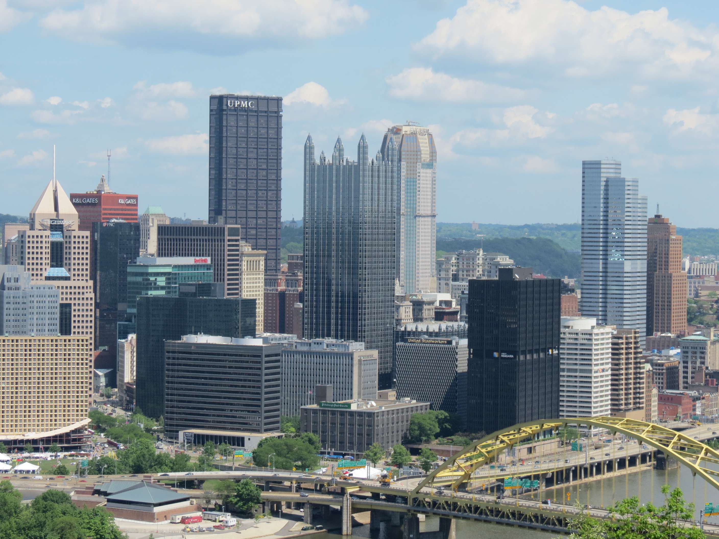
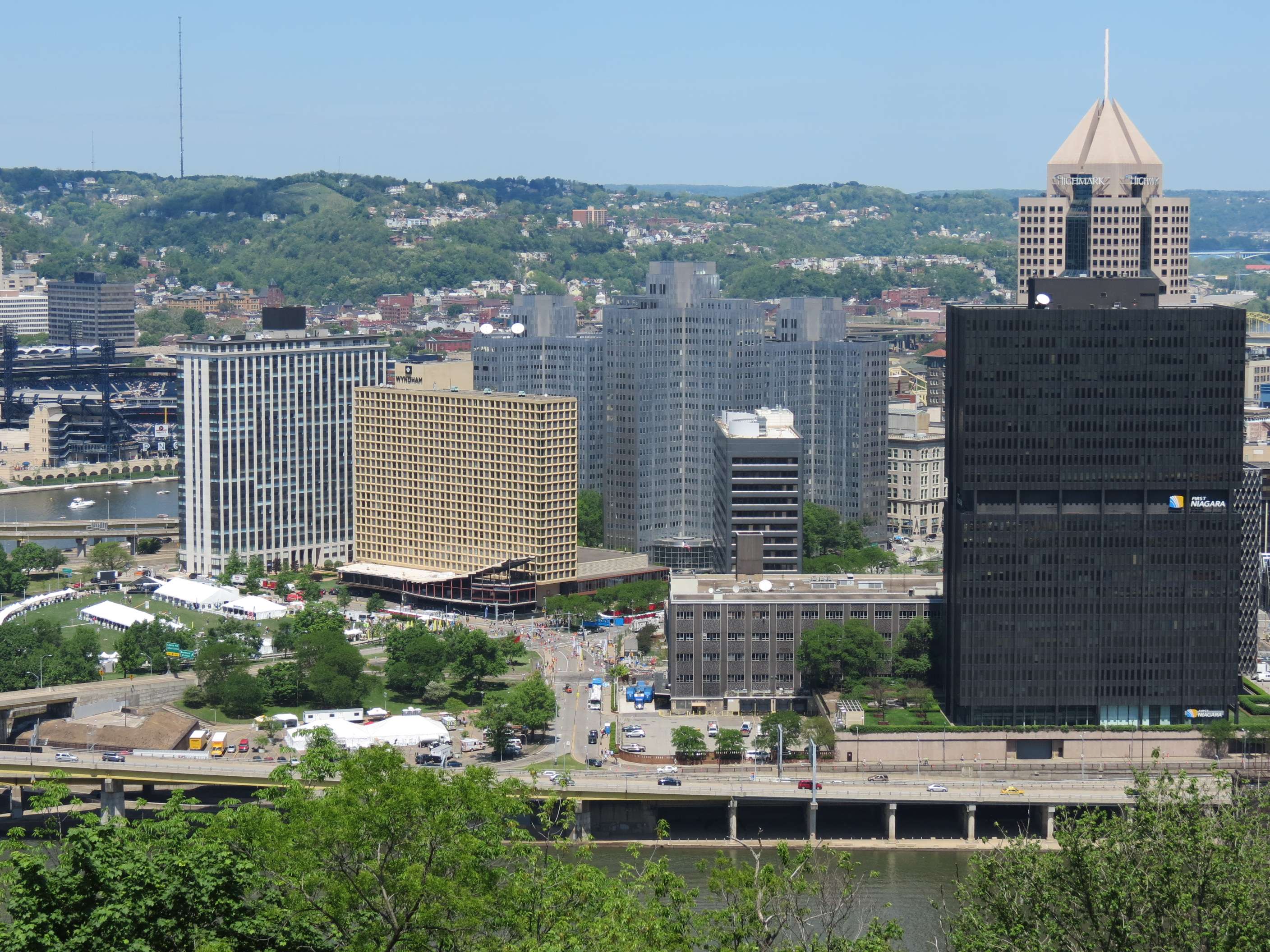
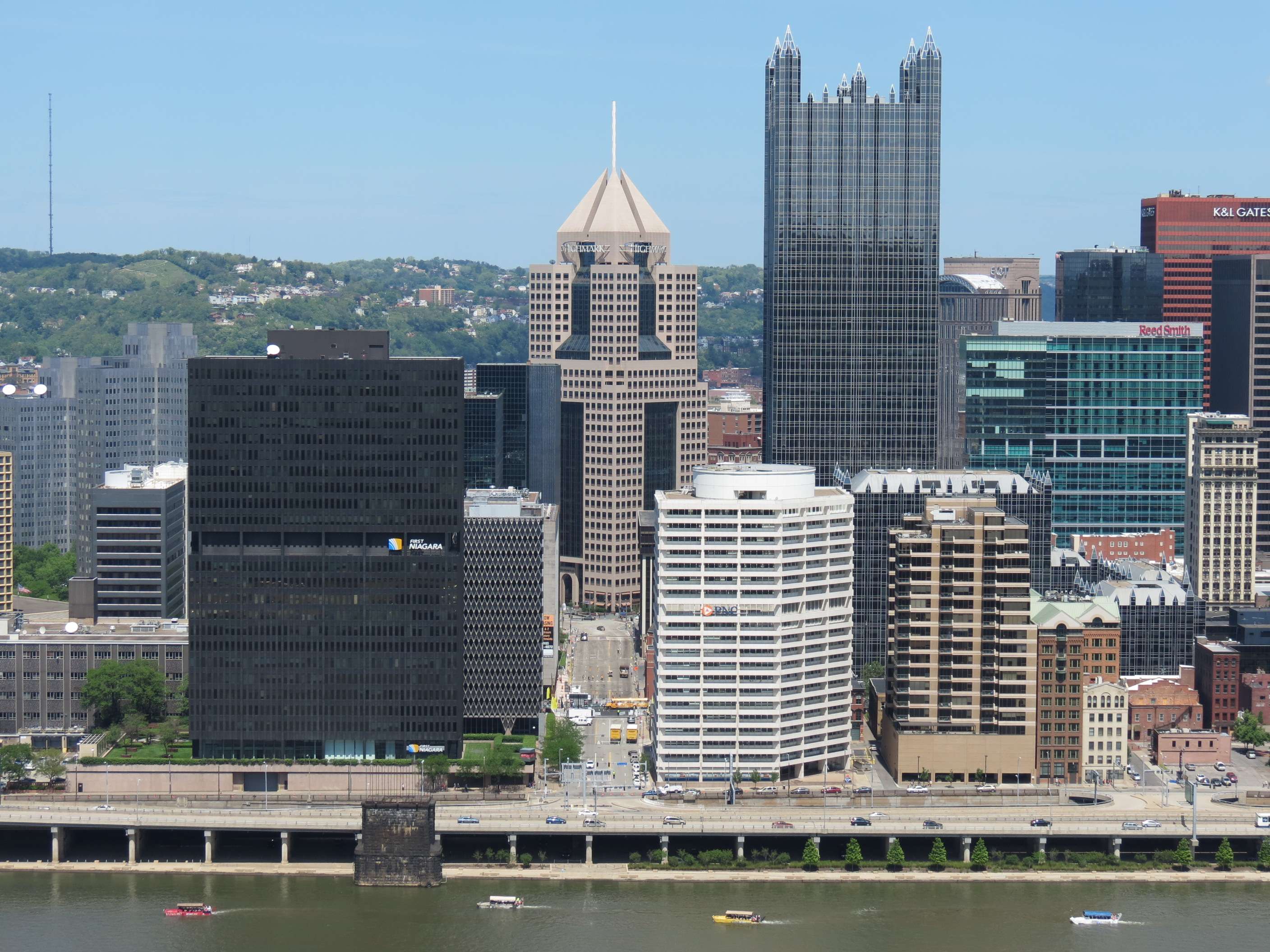
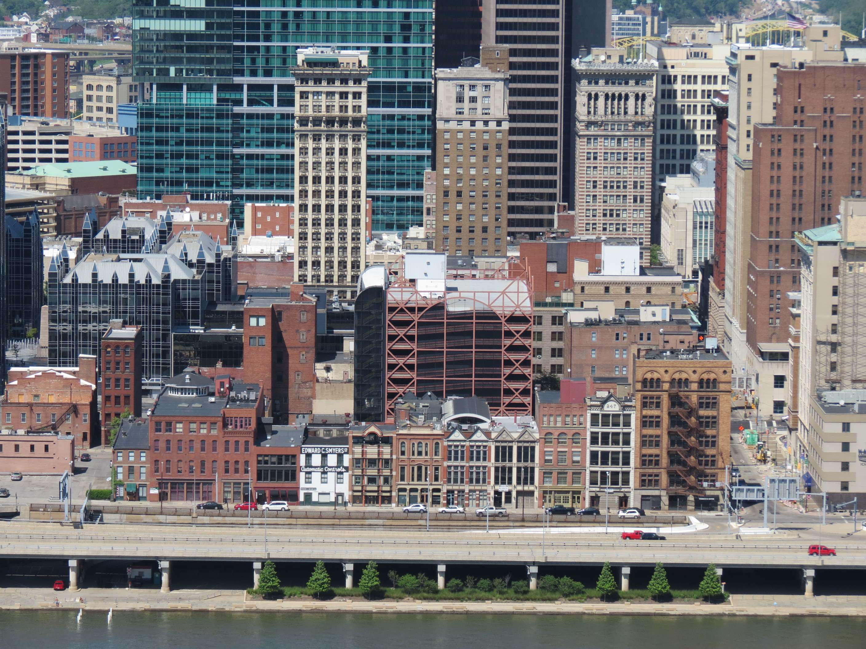
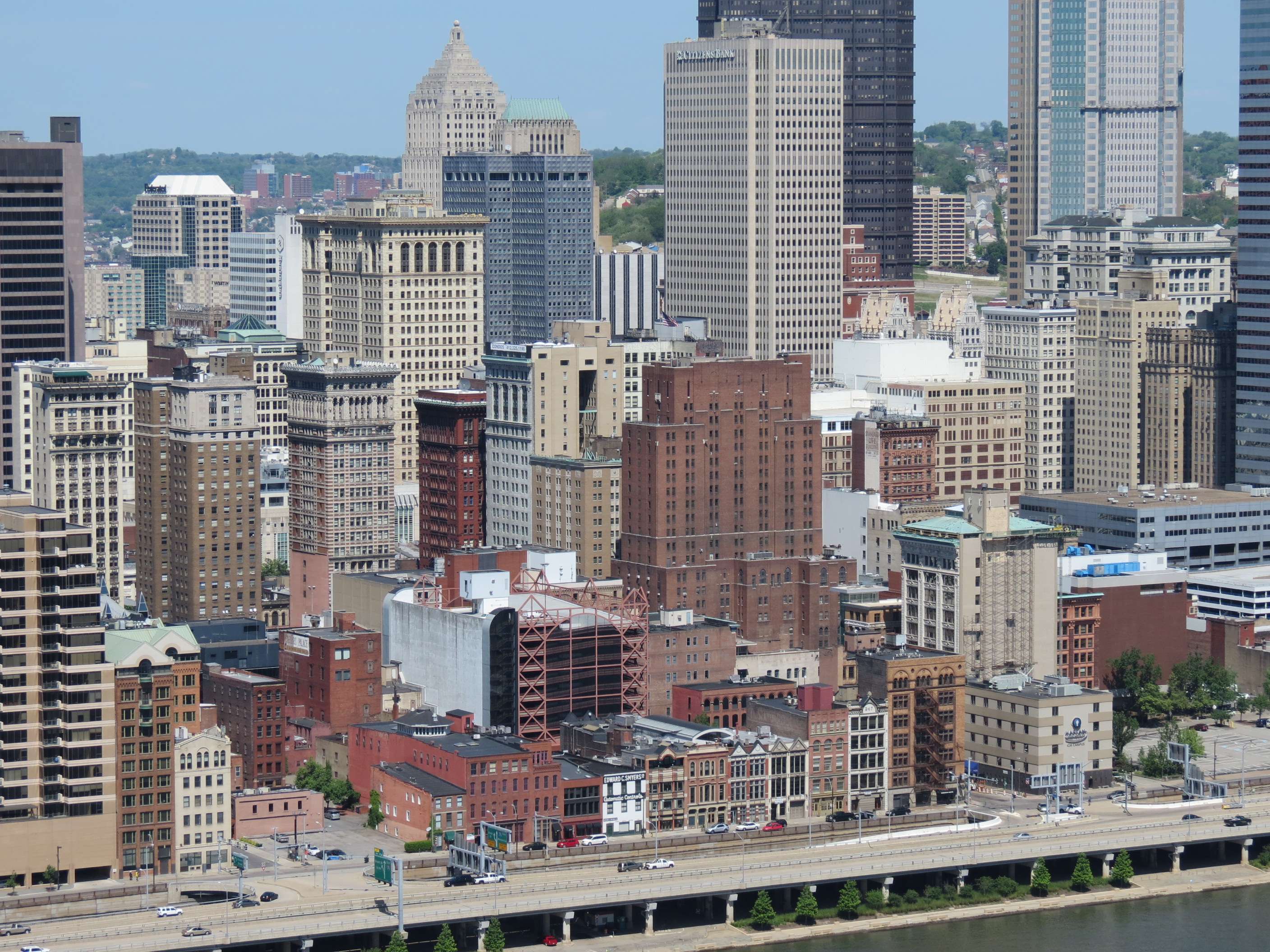
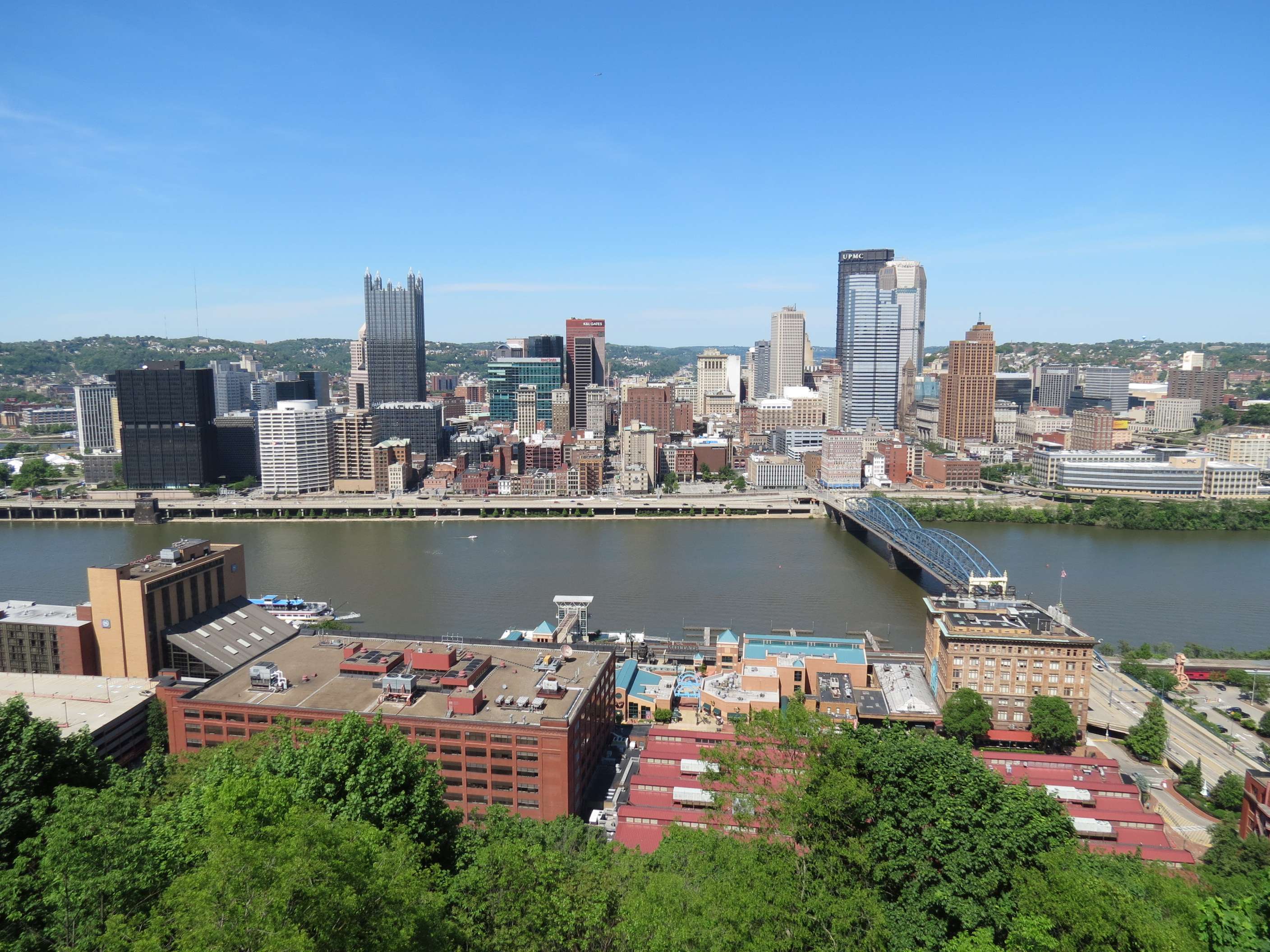
Downtown skyline views from Mount Washington:
Mount Washington is a bluff running along the South shore of the Monongahela River; one way to reach it from the shore is by riding one of two historic funiculars, the Duquesne Incline from 1877 (pictured) or the Monongahela Incline from 1870. The views from here look North to Downtown.


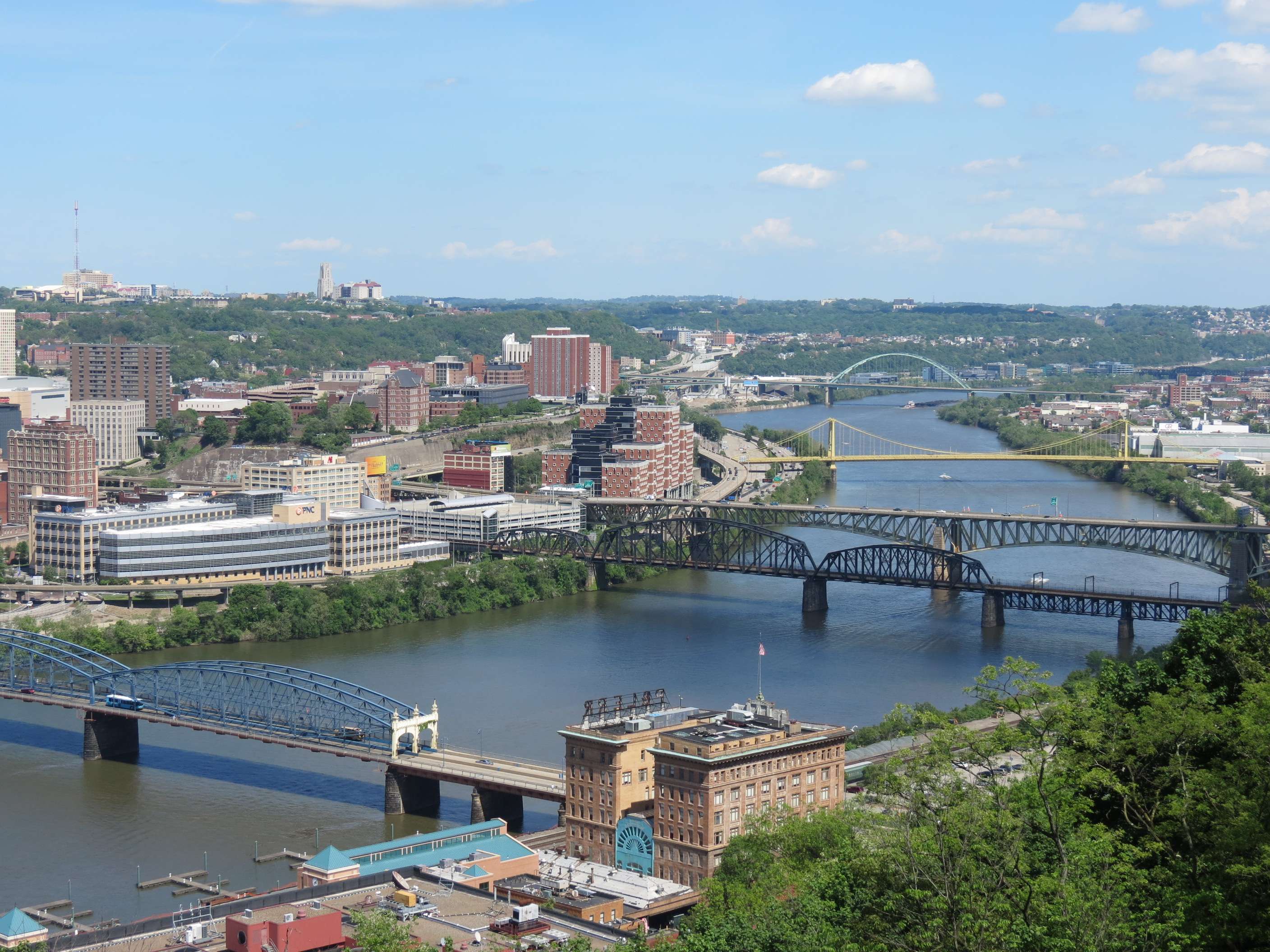
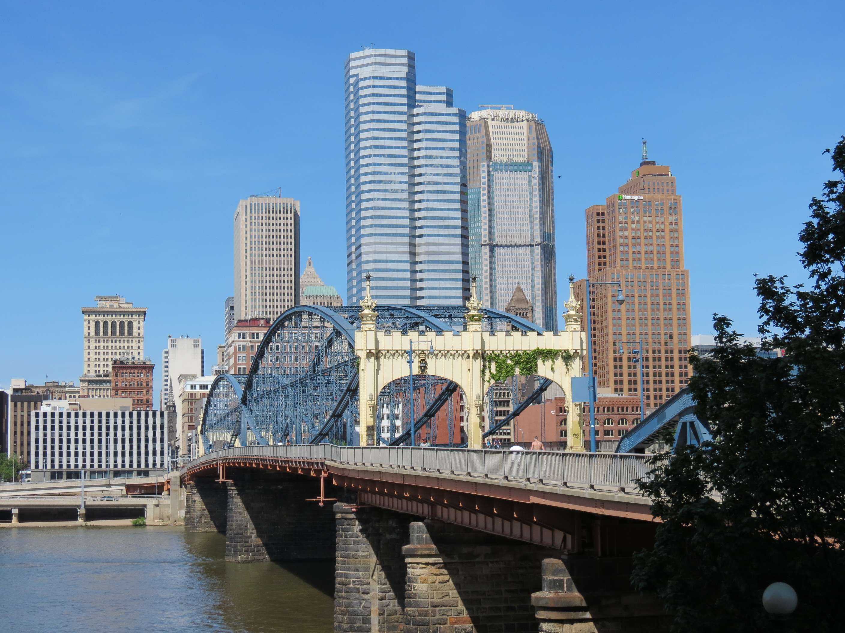
Downtown views from Smithfield Street Bridge (1883):
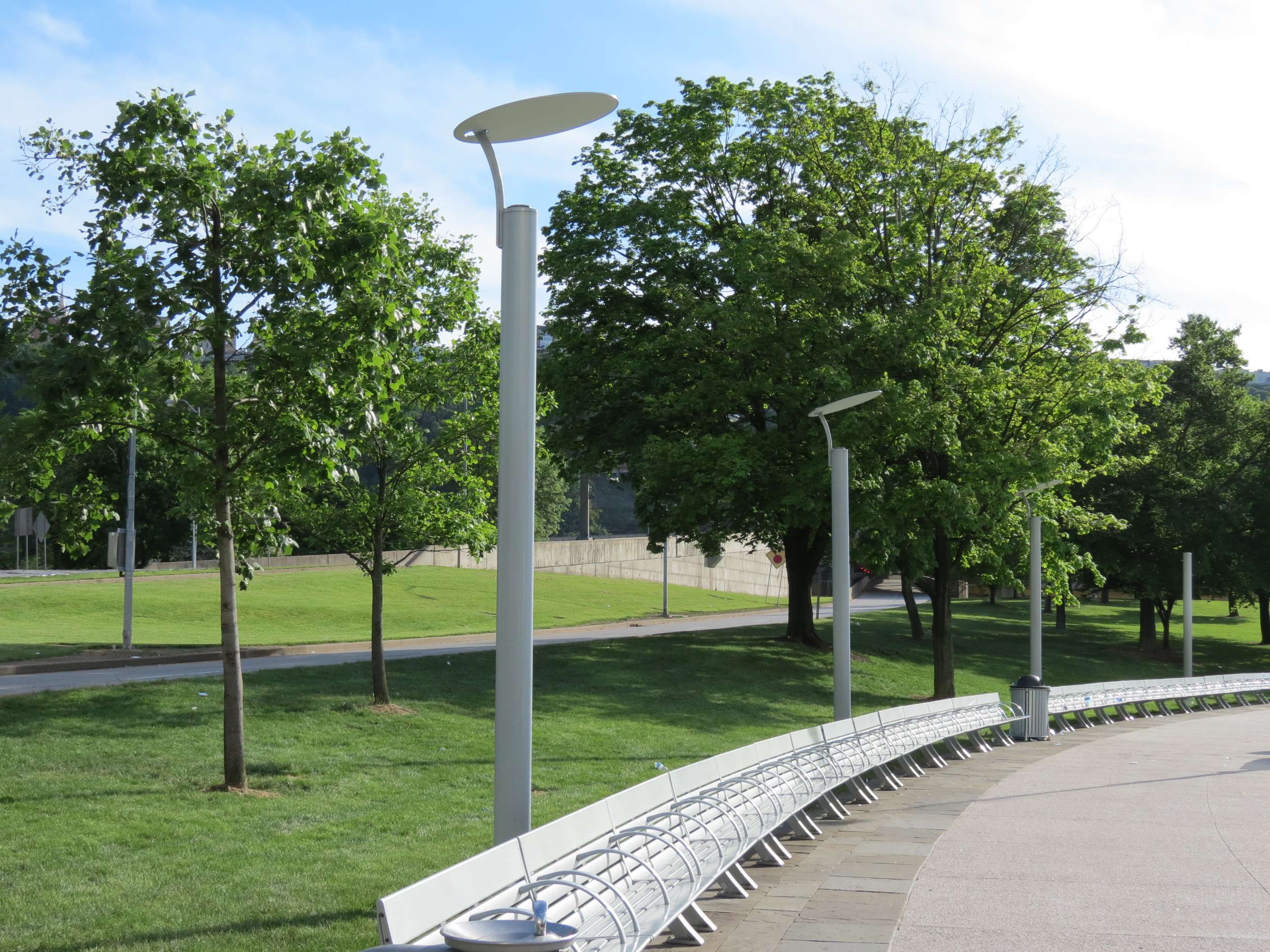
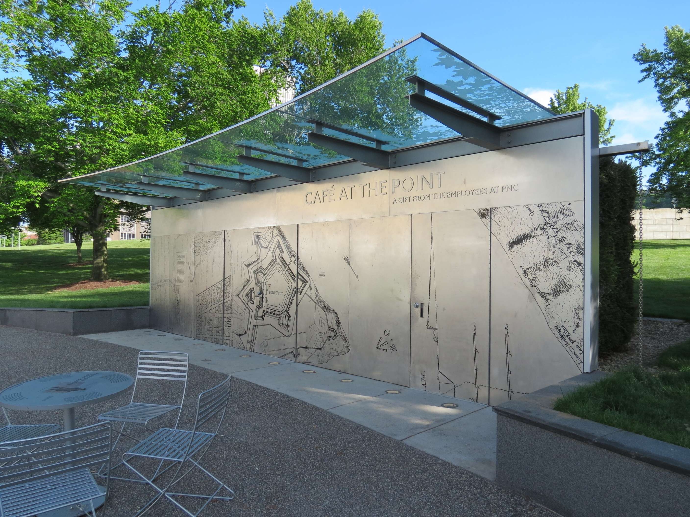
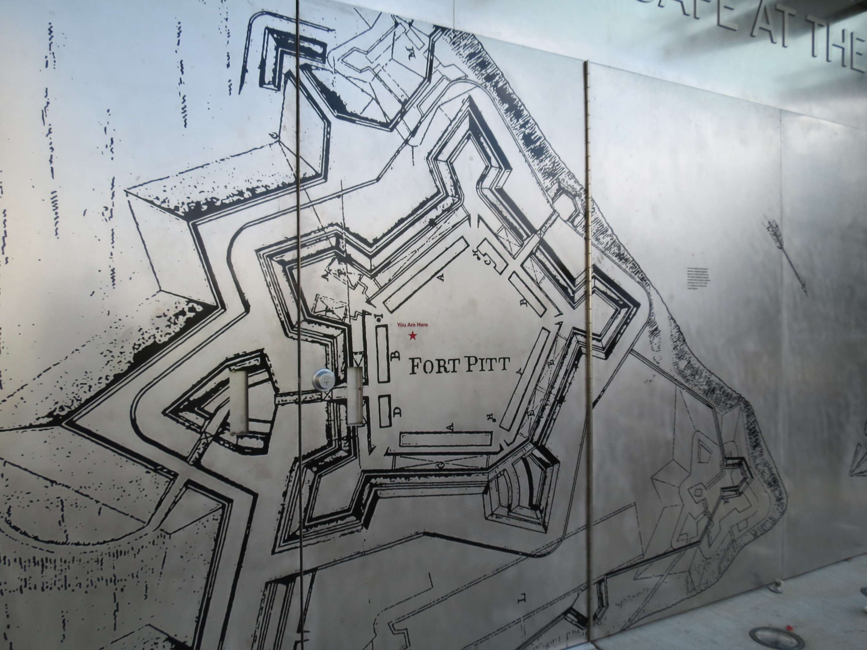
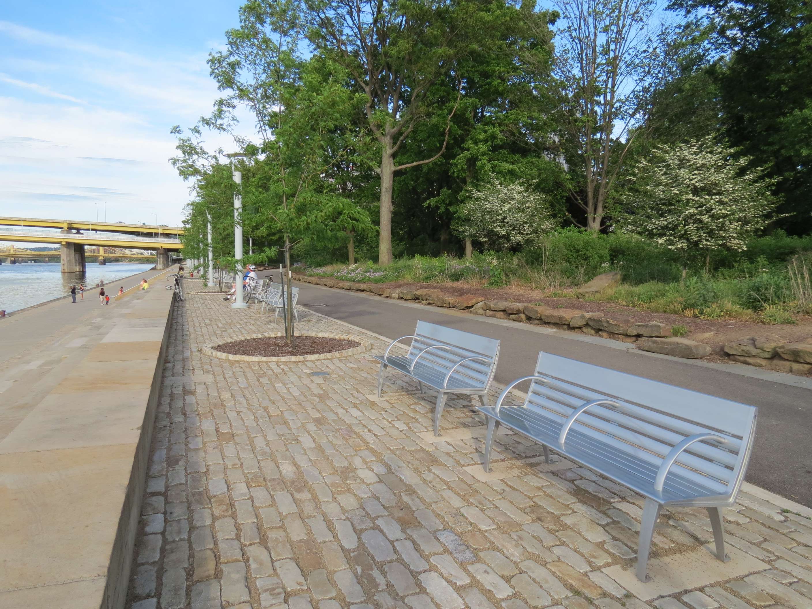
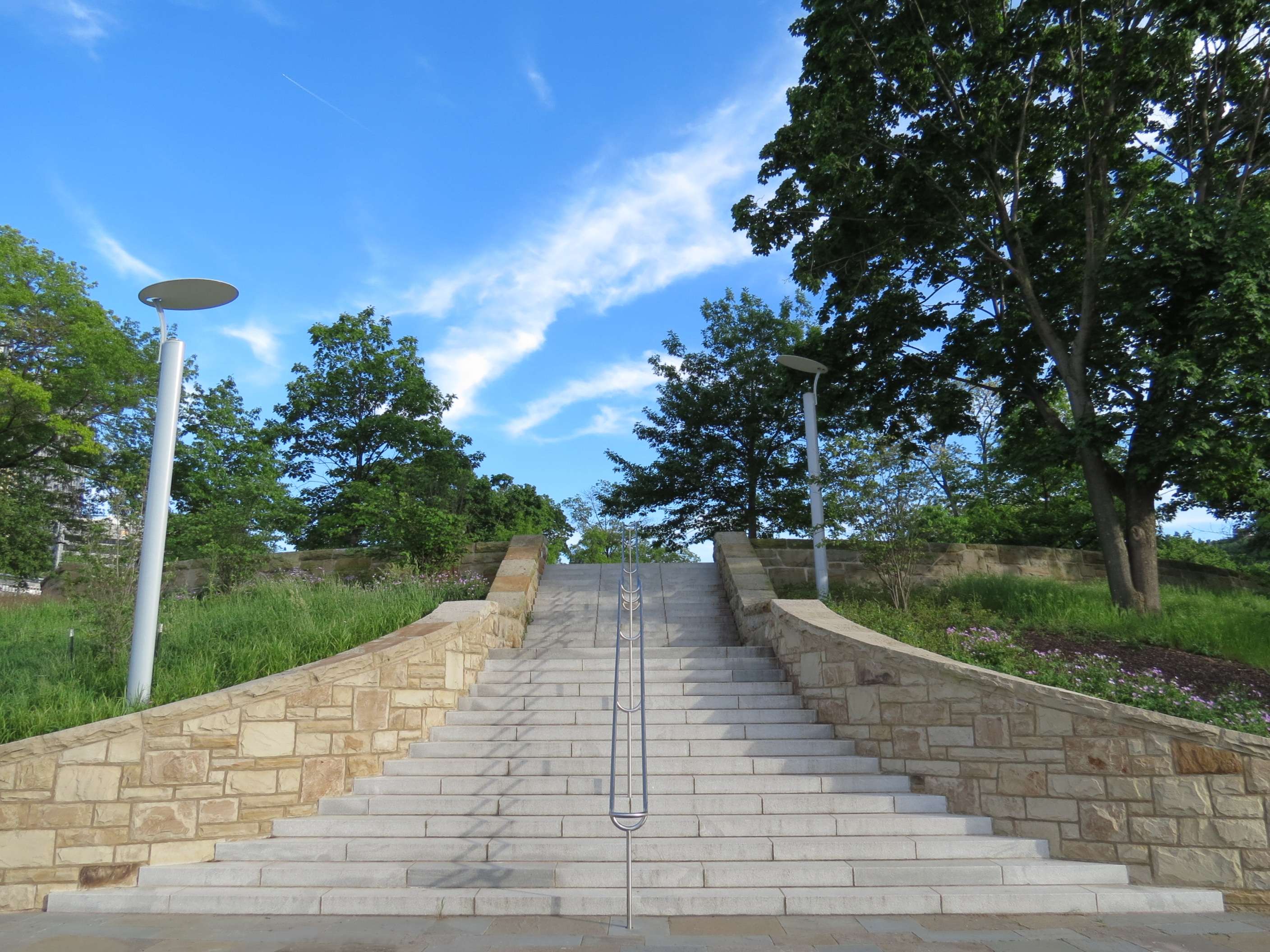
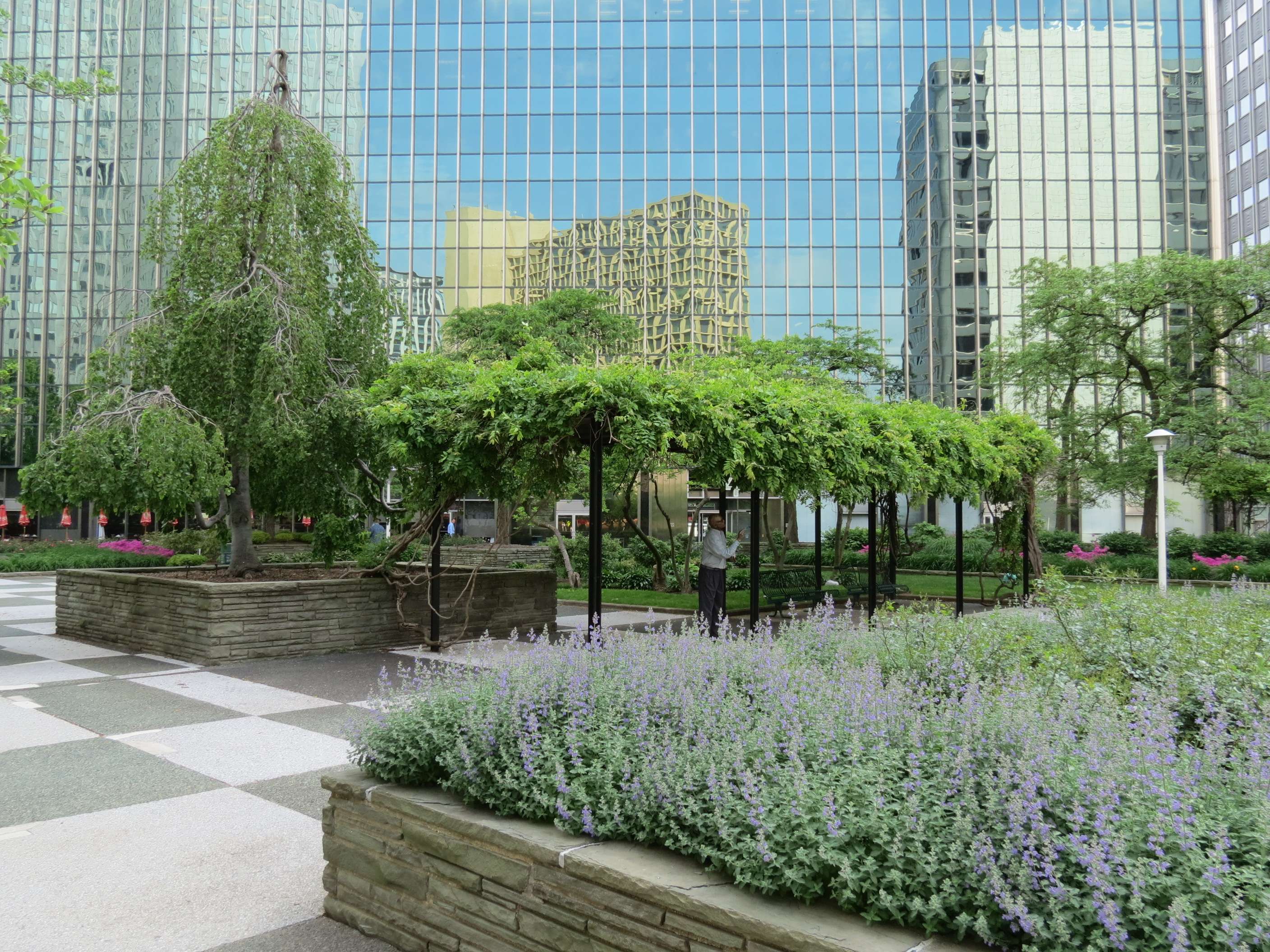
Point State Park:
This 36-acre park is at the tip of Downtown where the two rivers meet. The park was first opened in 1974, an urban redevelopment effort to replace a mess of industrial and transportation facilities that was in planning for about 35 years! Its recent refurbishment was about half-finished when I visited (a large round fountain at the point was still being refurbished).

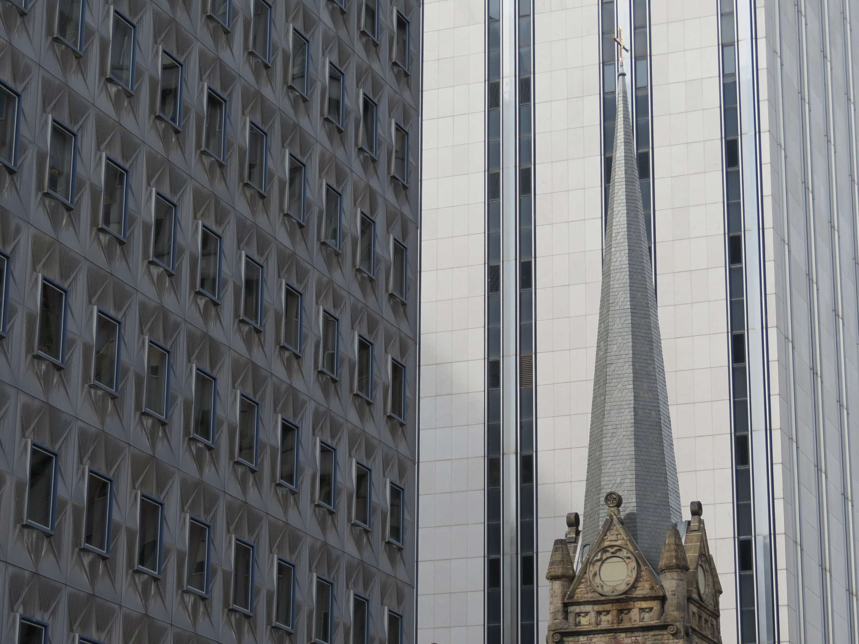
Mid-century Highrises:
Downtown features a notable collection of International style skyscrapers.
AT&T Building, 1969:
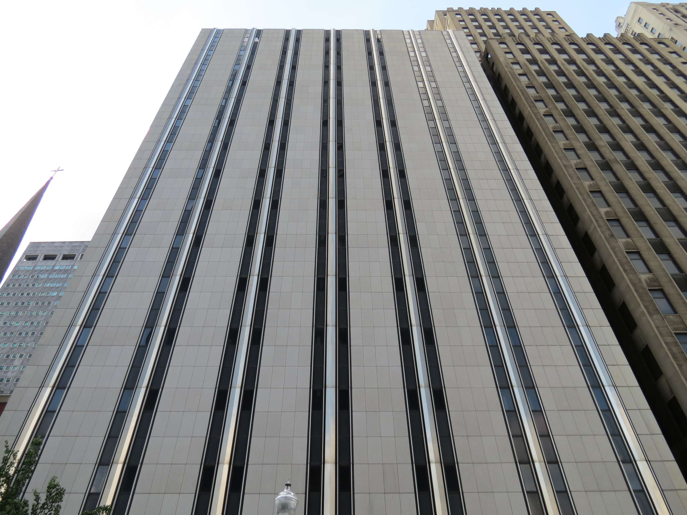
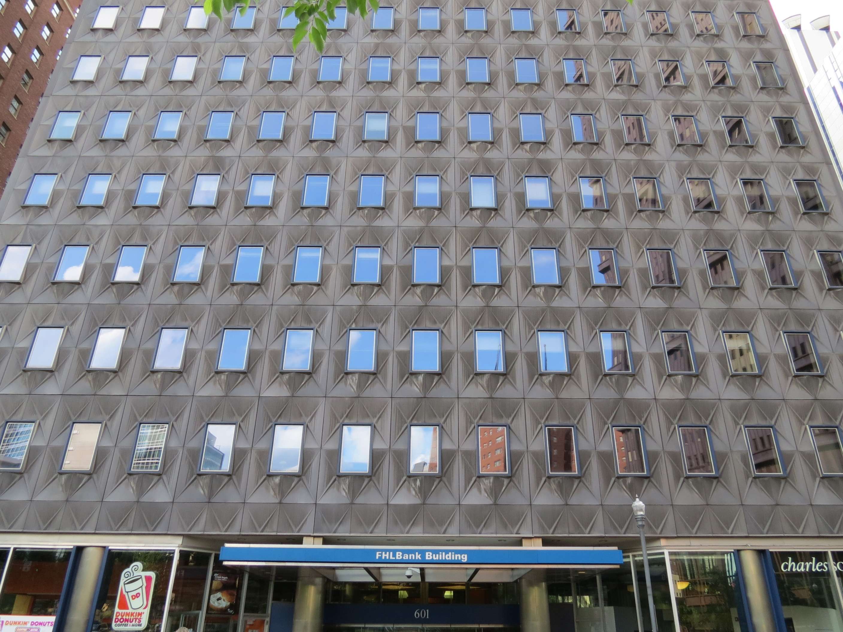
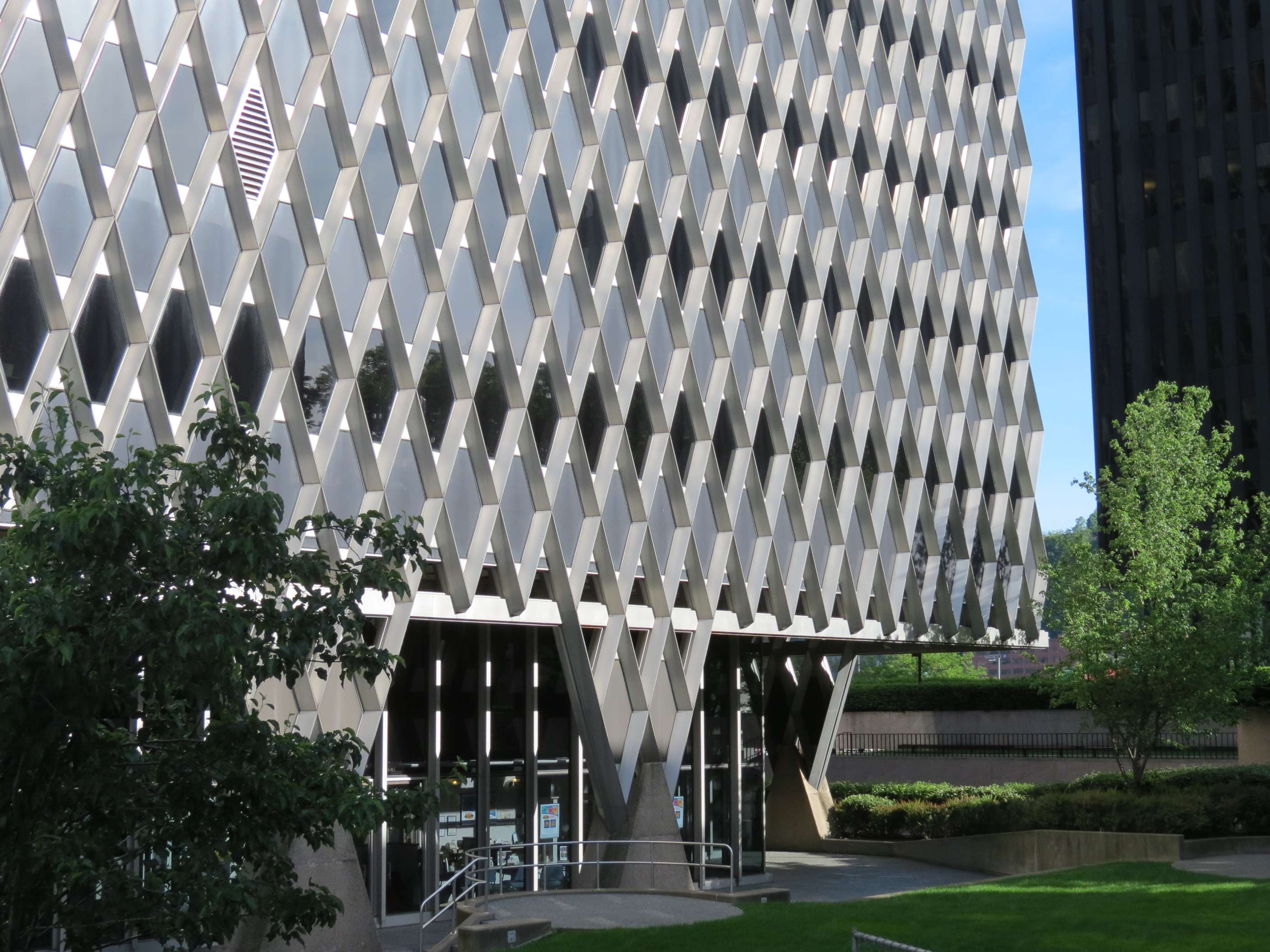
FHL Bank Building (built as H.K. Porter Building), 1958:
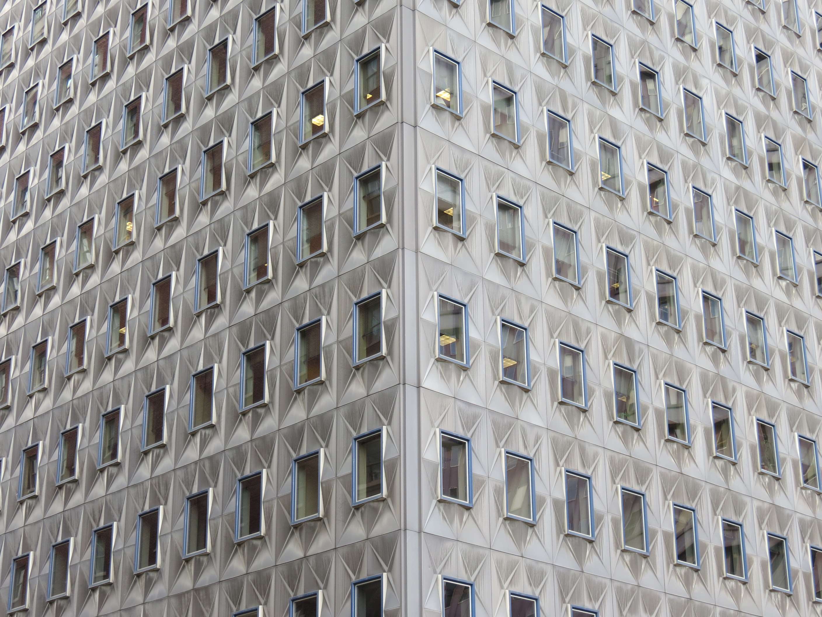
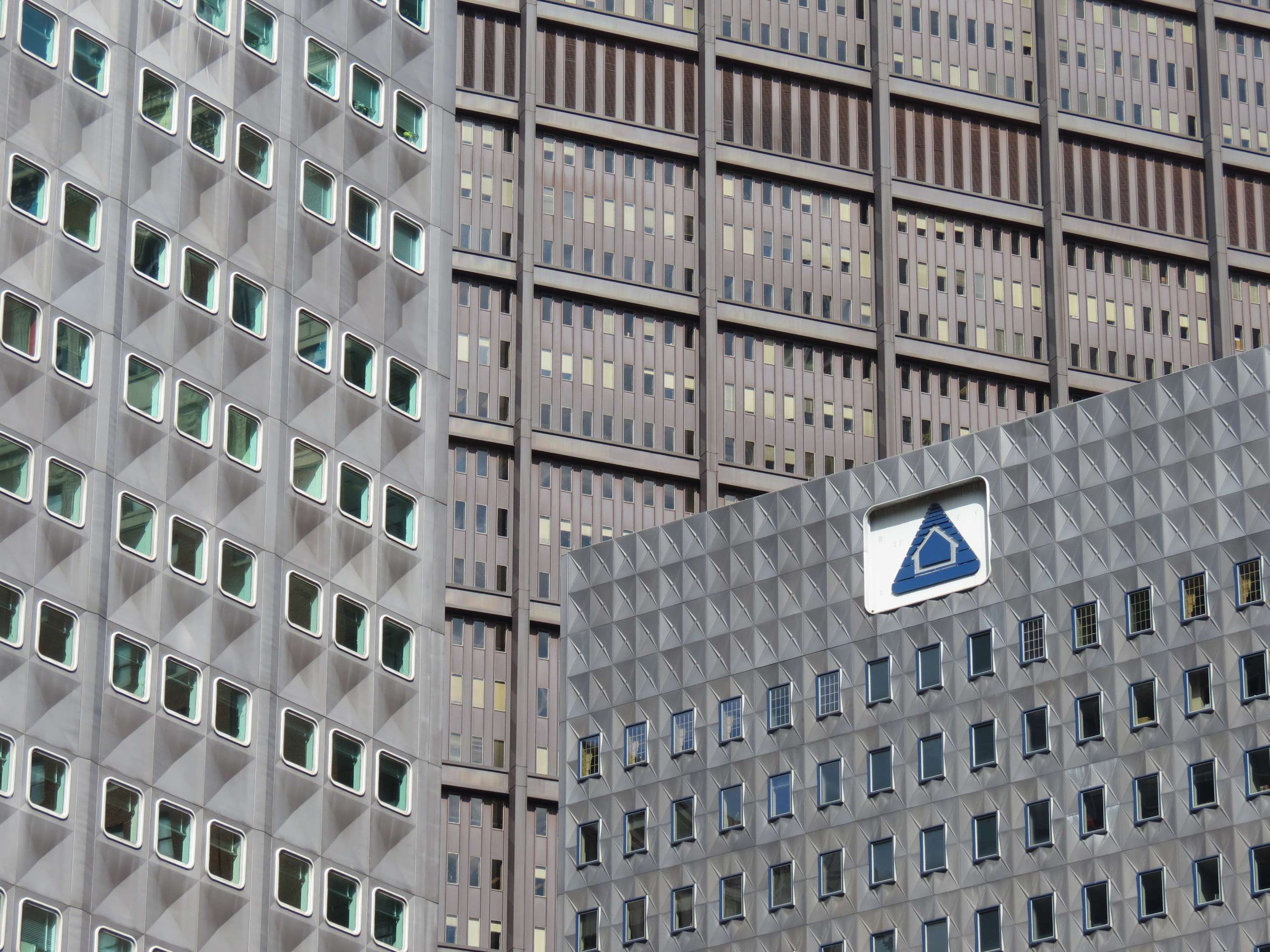
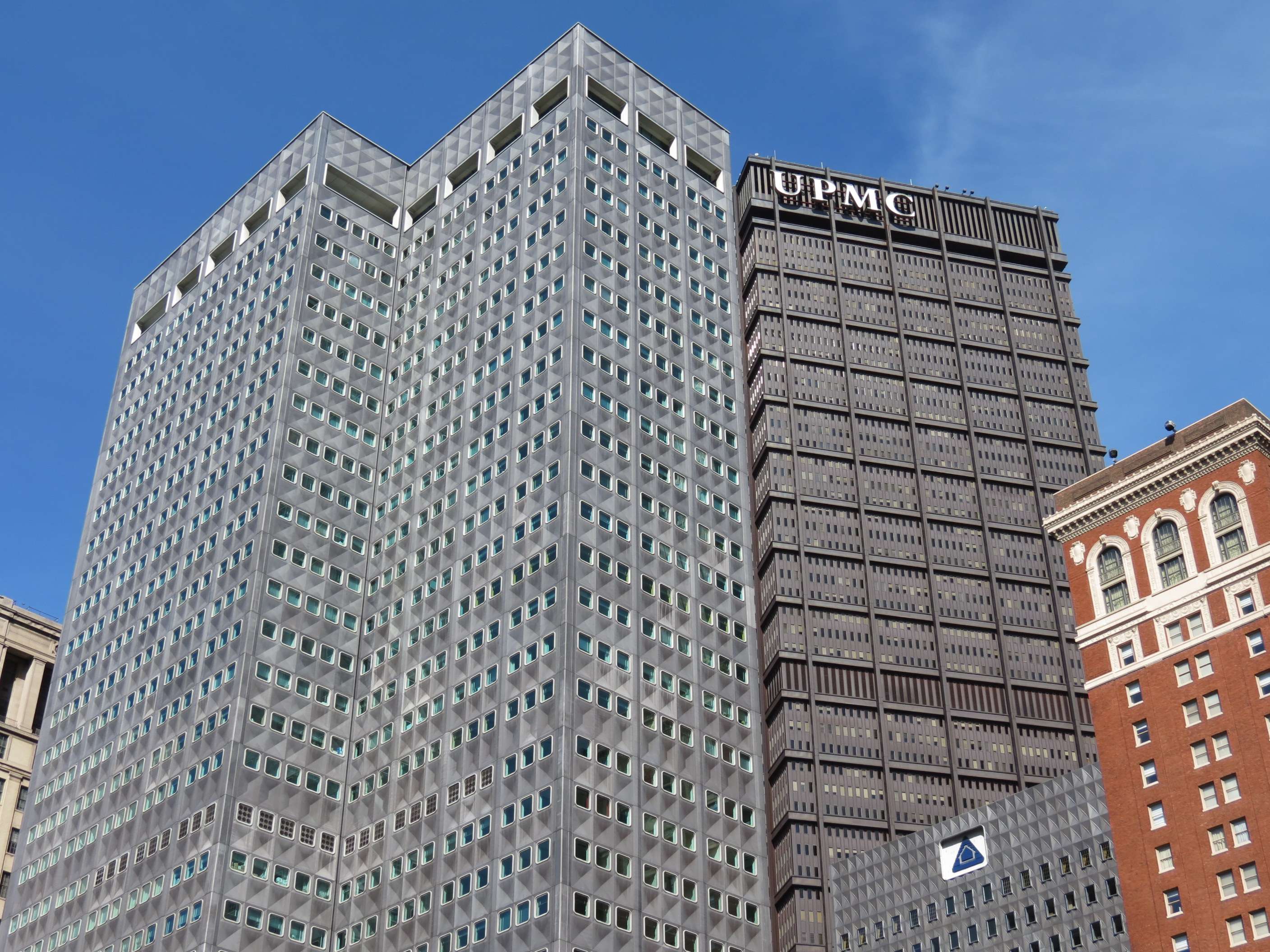
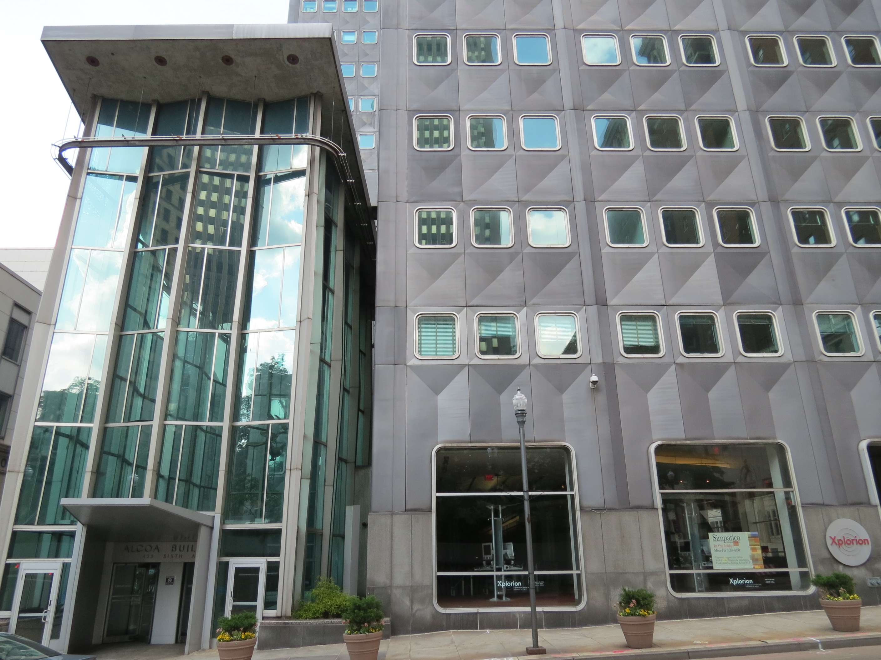
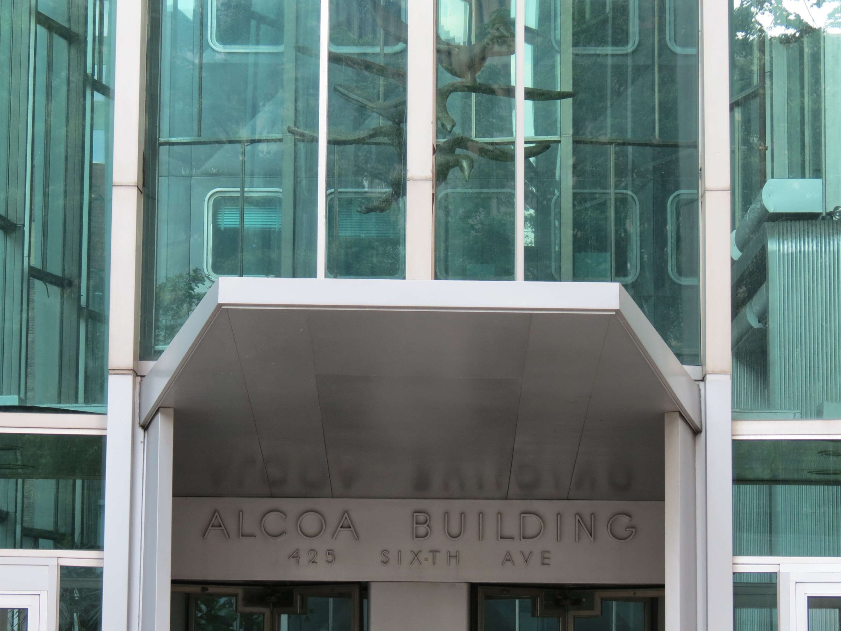
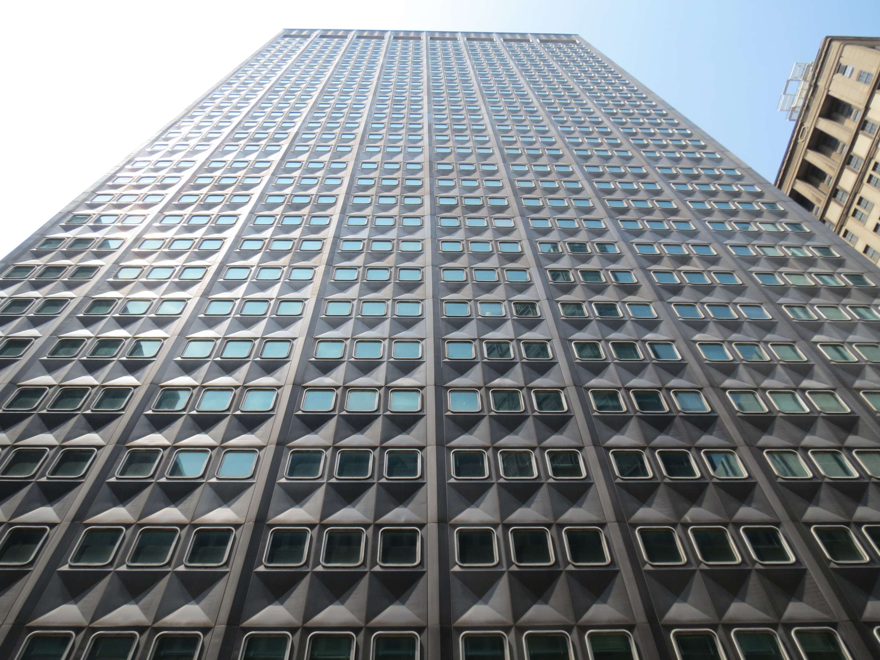
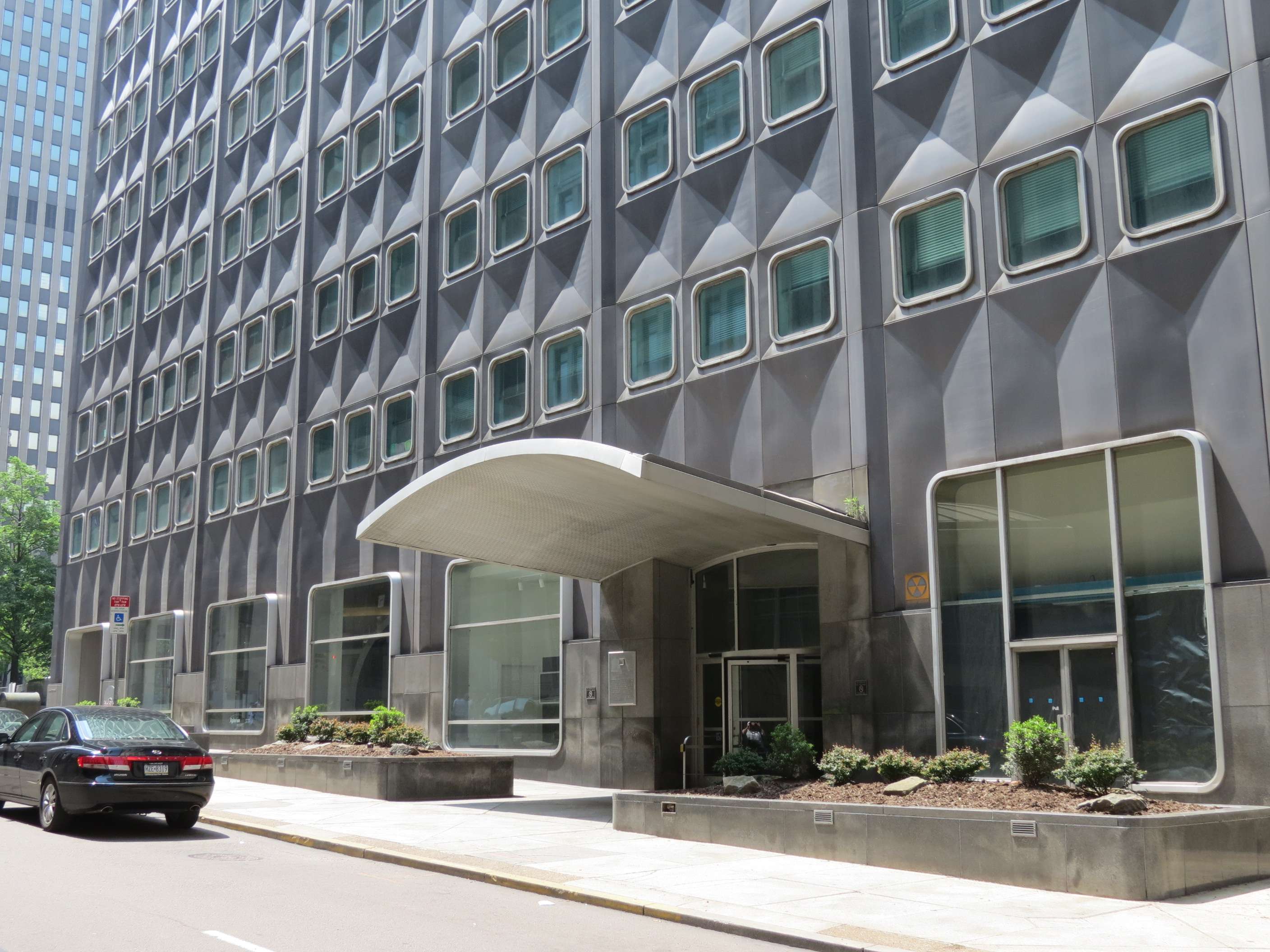
Regional Enterprise Tower (built as ALCOA Building), 1953:
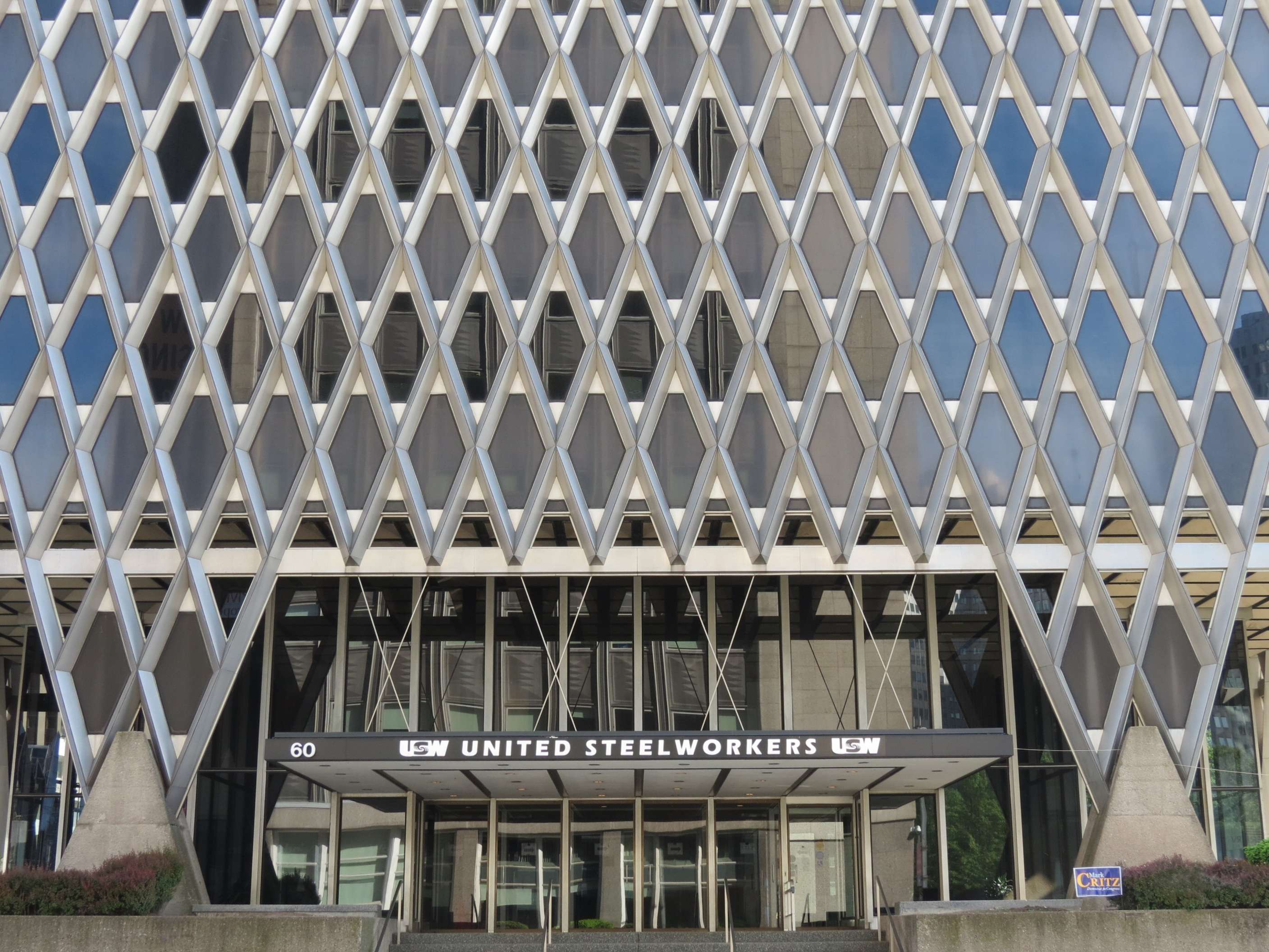
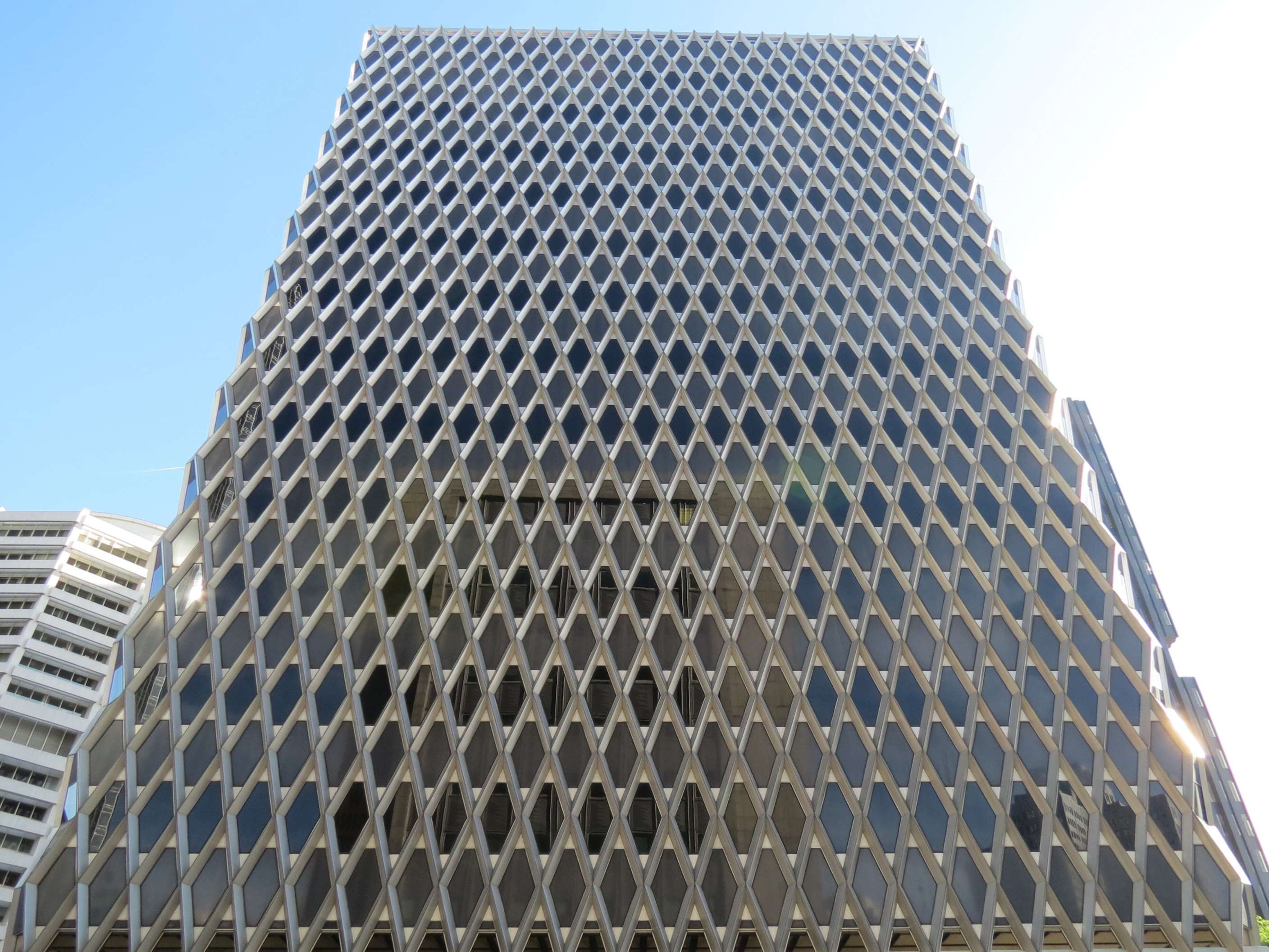
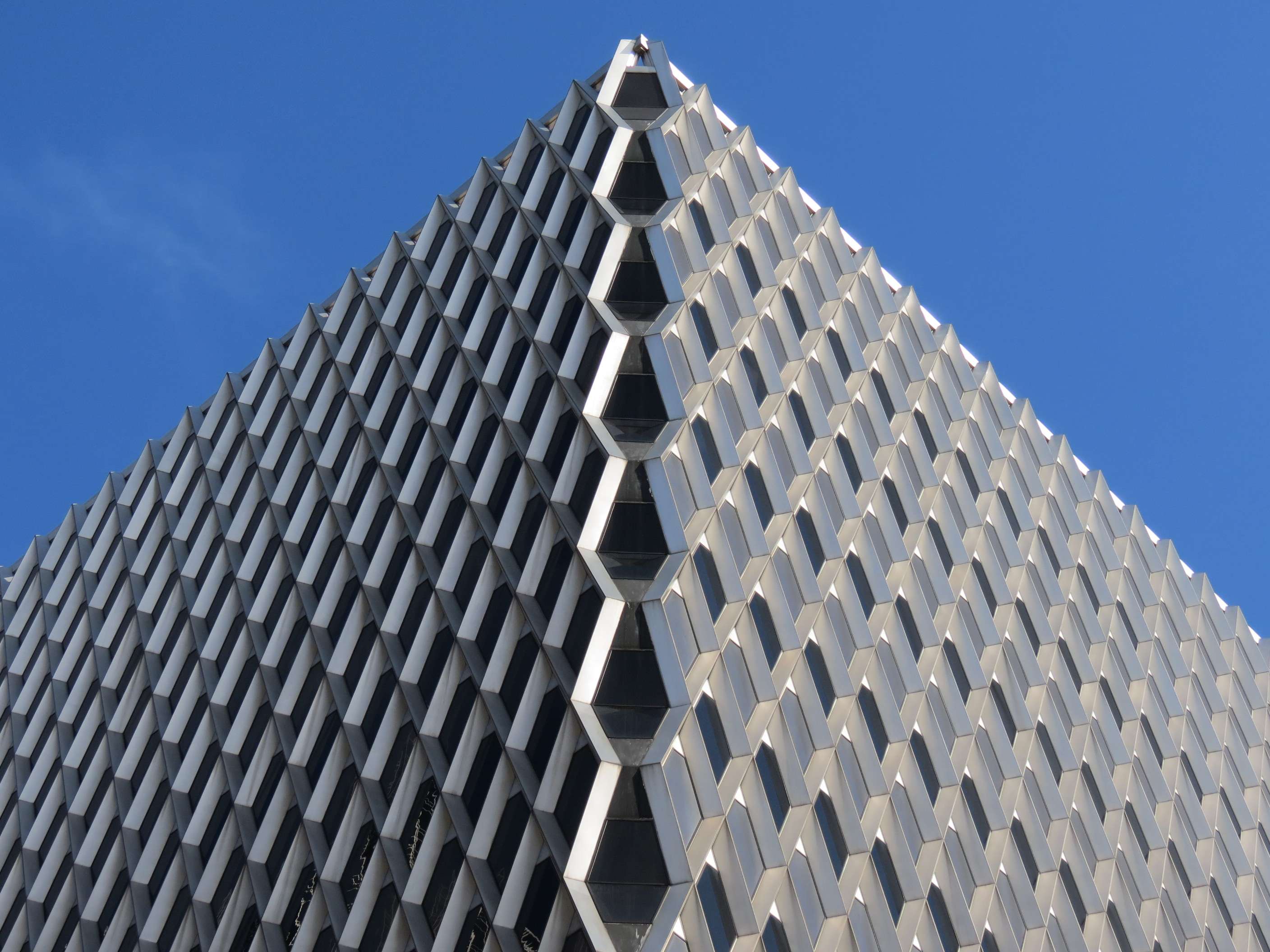
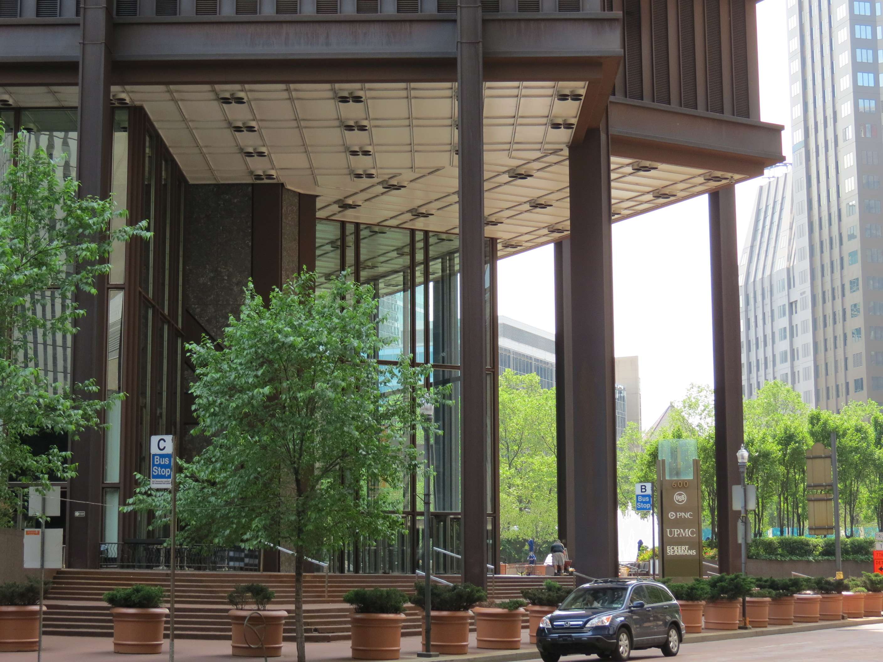
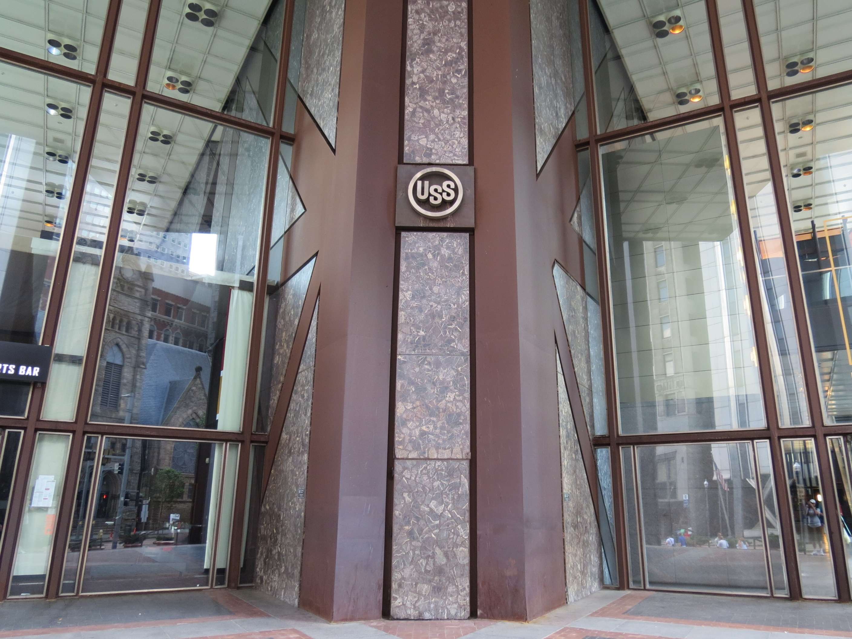
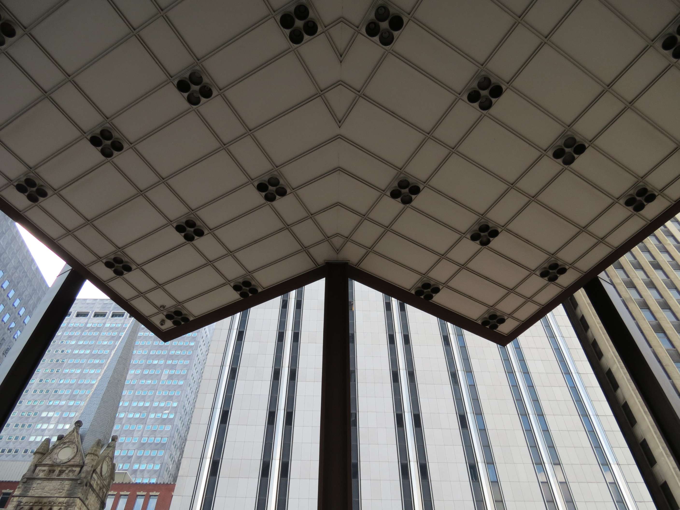
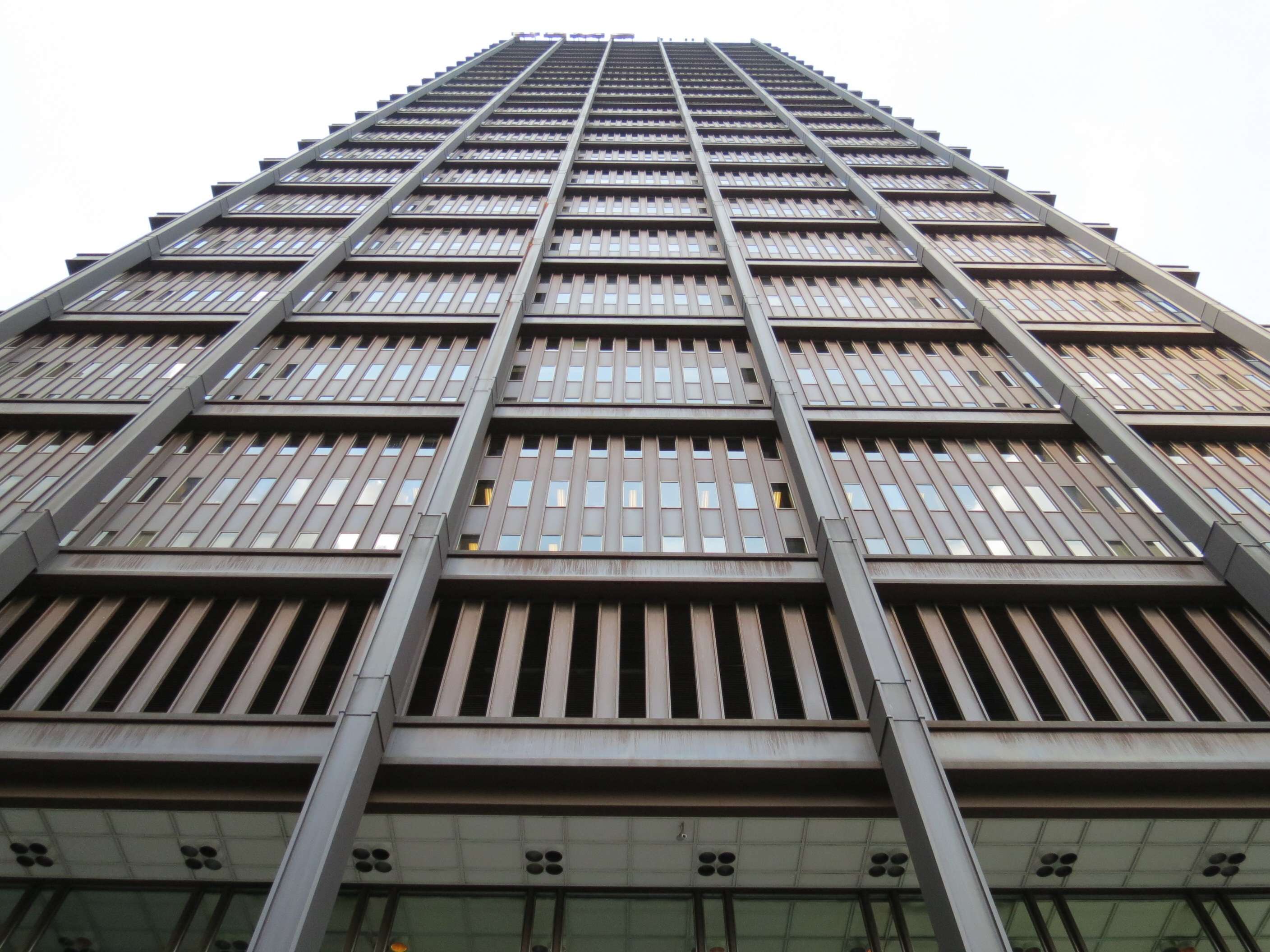
United Steelworkers Building (built as IBM Building), 1963:
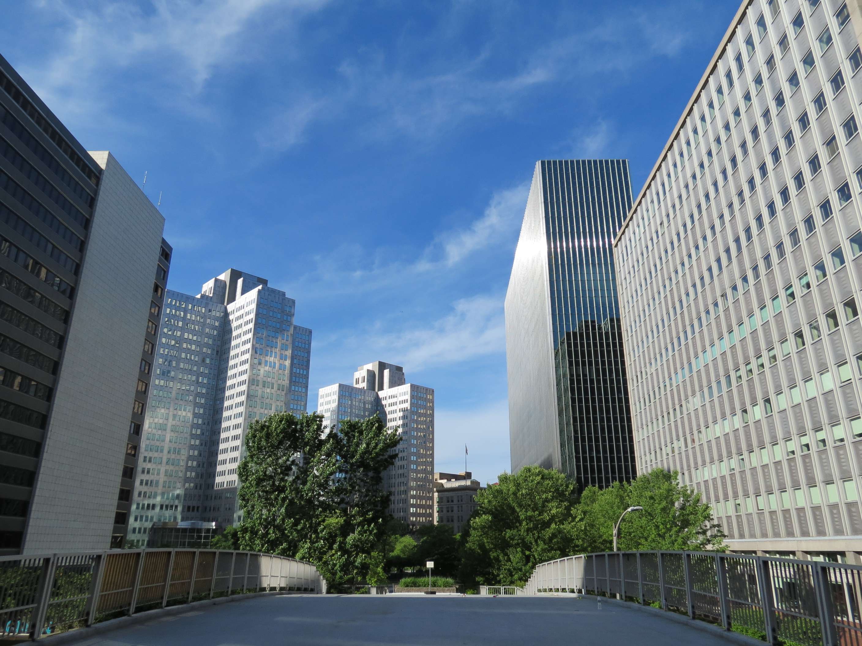
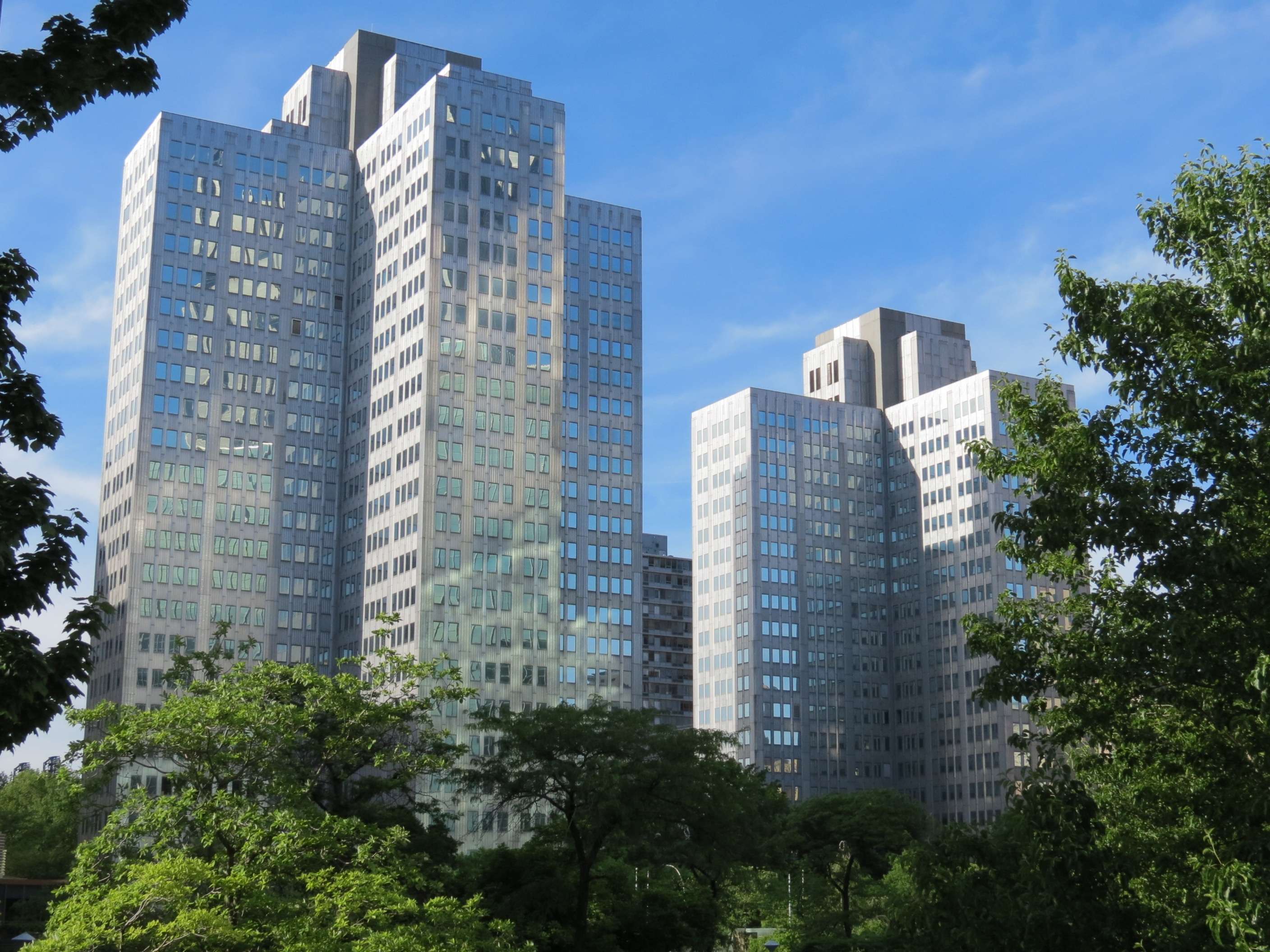
Gateway Area:
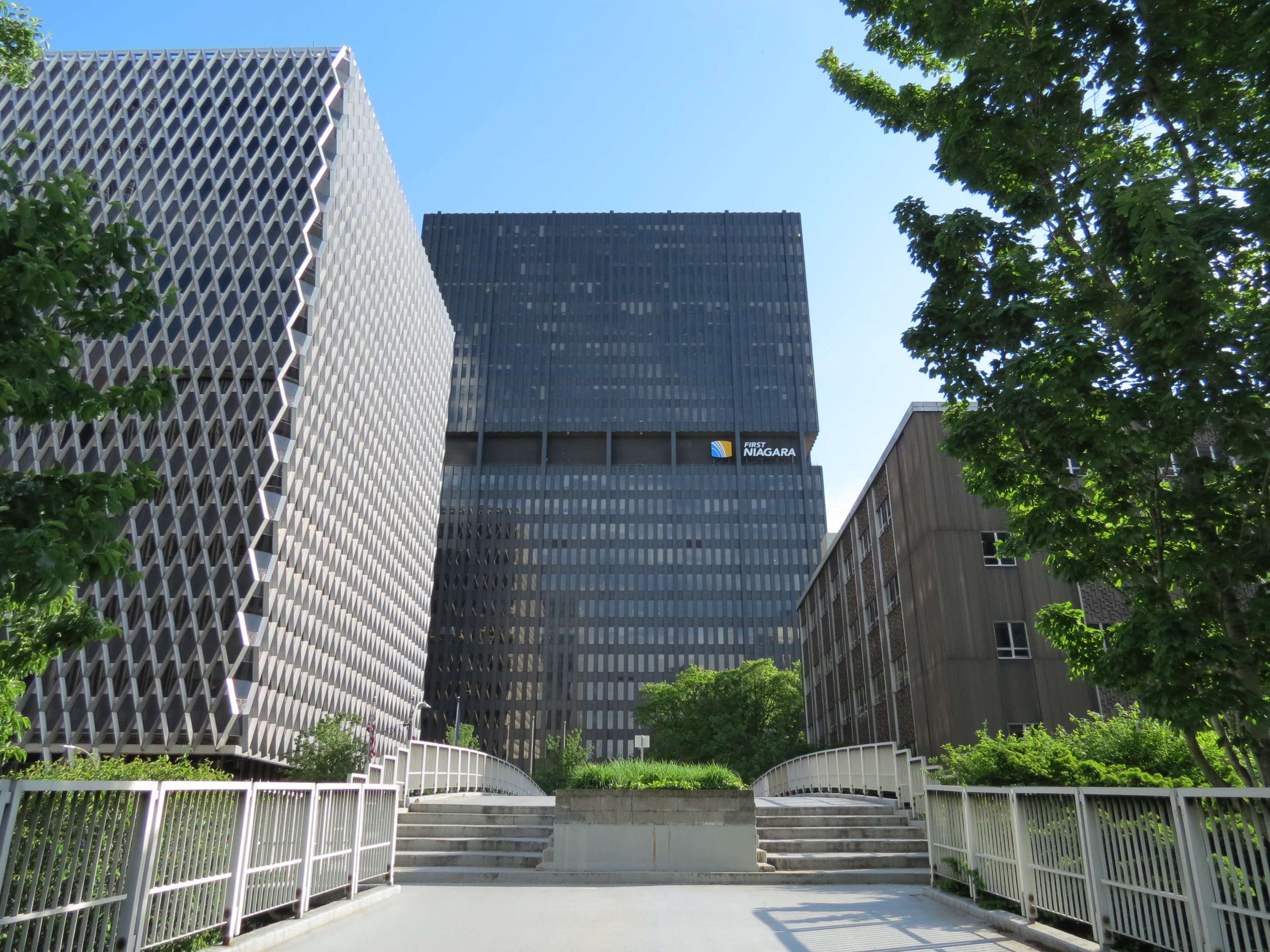
A large grouping of mid-century highrises is located adjacent to Point State Park, which was developed concurrently as an urban renewal area. In this view, the United Steelworkers Building is on the left, 11 Stanwix (built as Westinghouse Building, 1970) is in the center, and Pittsburgh Post-Gazette (year ?) is on the right.
Gateway Area:
In this view, the State Office Building (1955) is on the left, Two Gateway Center and Three Gateway Center are the seemingly identical towers at left center, Four Gateway Center is at right center, and the Verizon Building is on the right.
Verizon Building (built as Bell Telephone Building), 1957:
Four Gateway Center, 1960:
Gateway Center, 1952:
Three towers (one a little taller than the other two, but otherwise identical) compose this development.

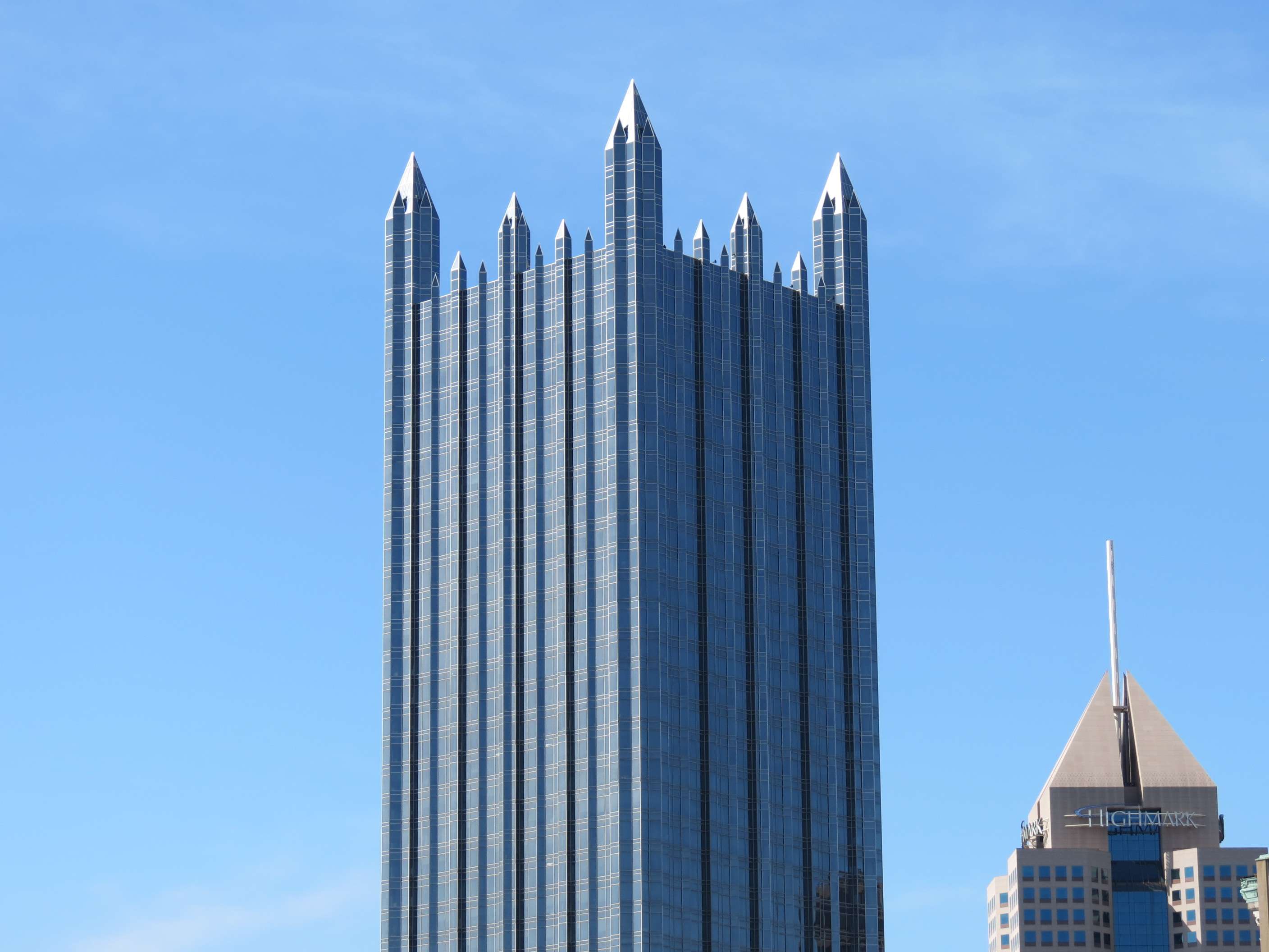
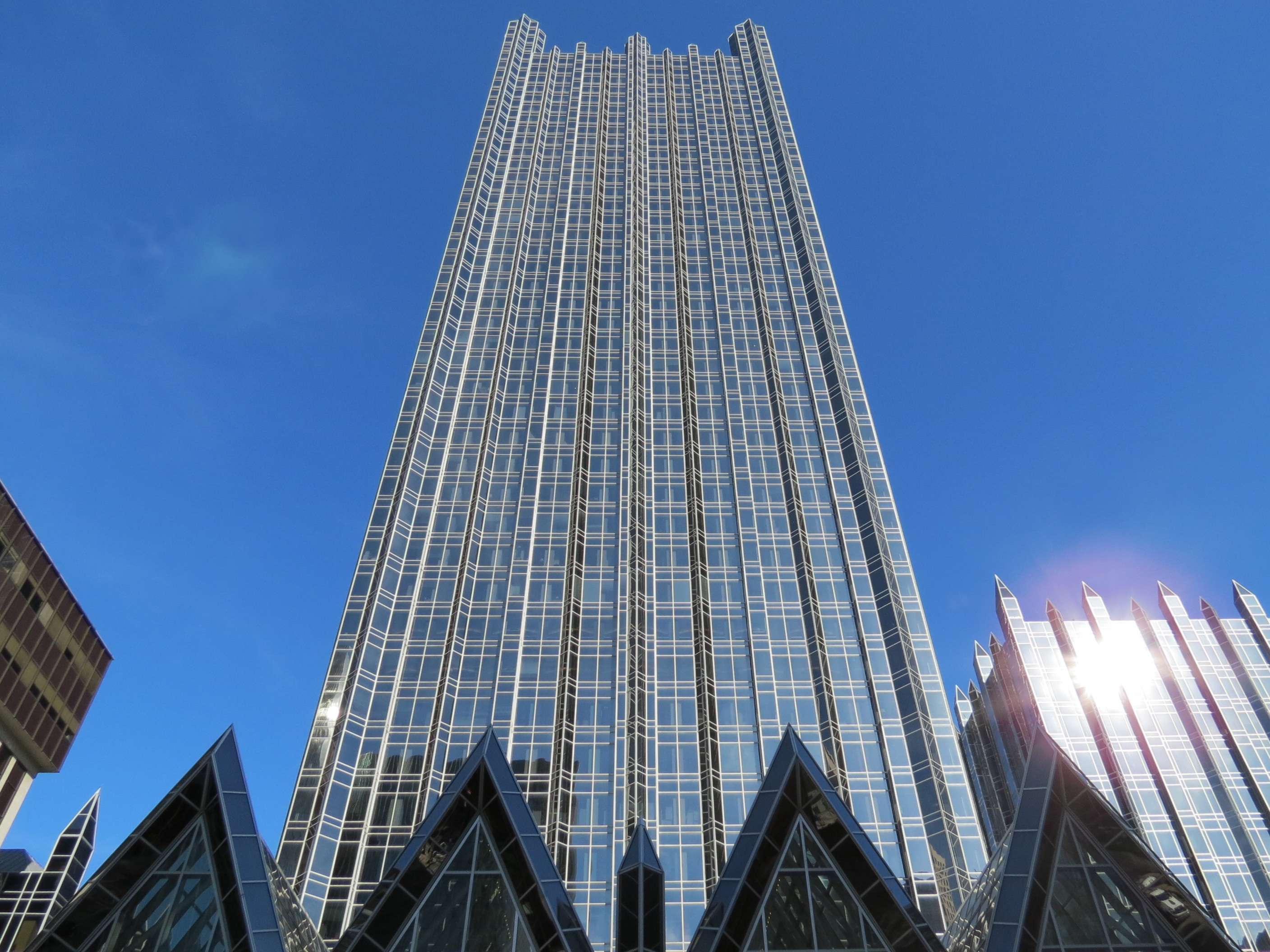
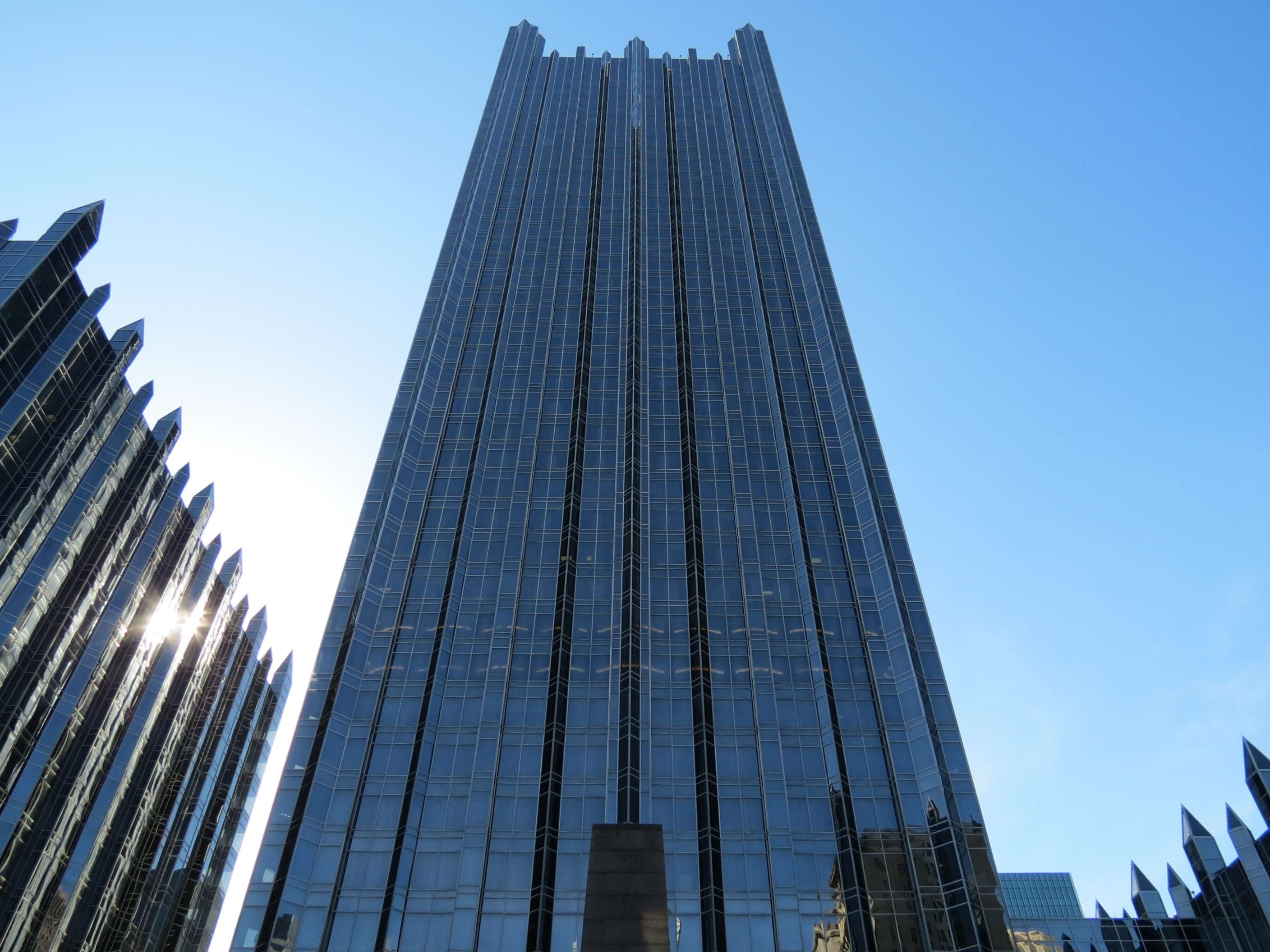
Fort Duquesne and Sixth Street Garage, 1966 (renovated 2001):

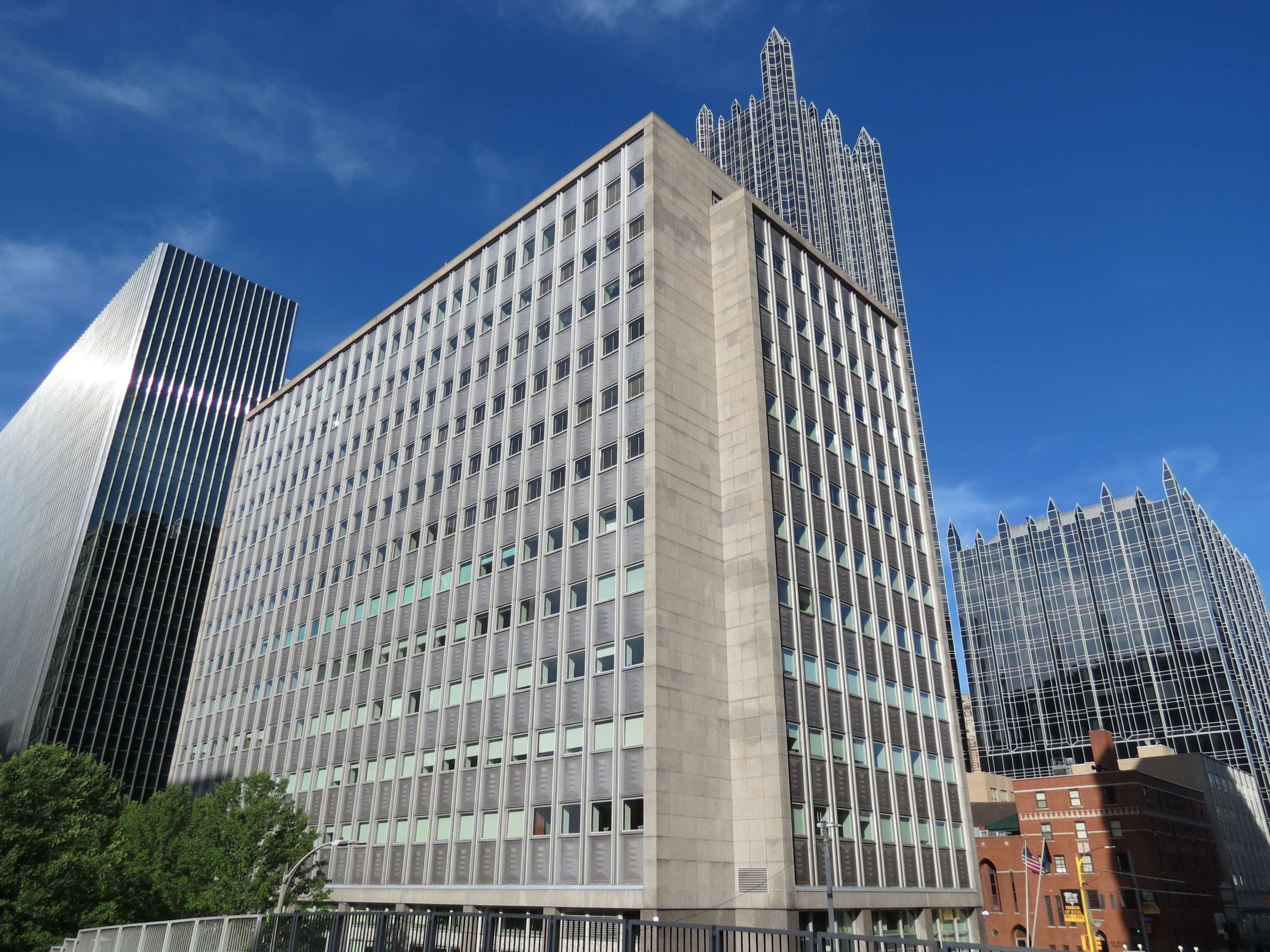
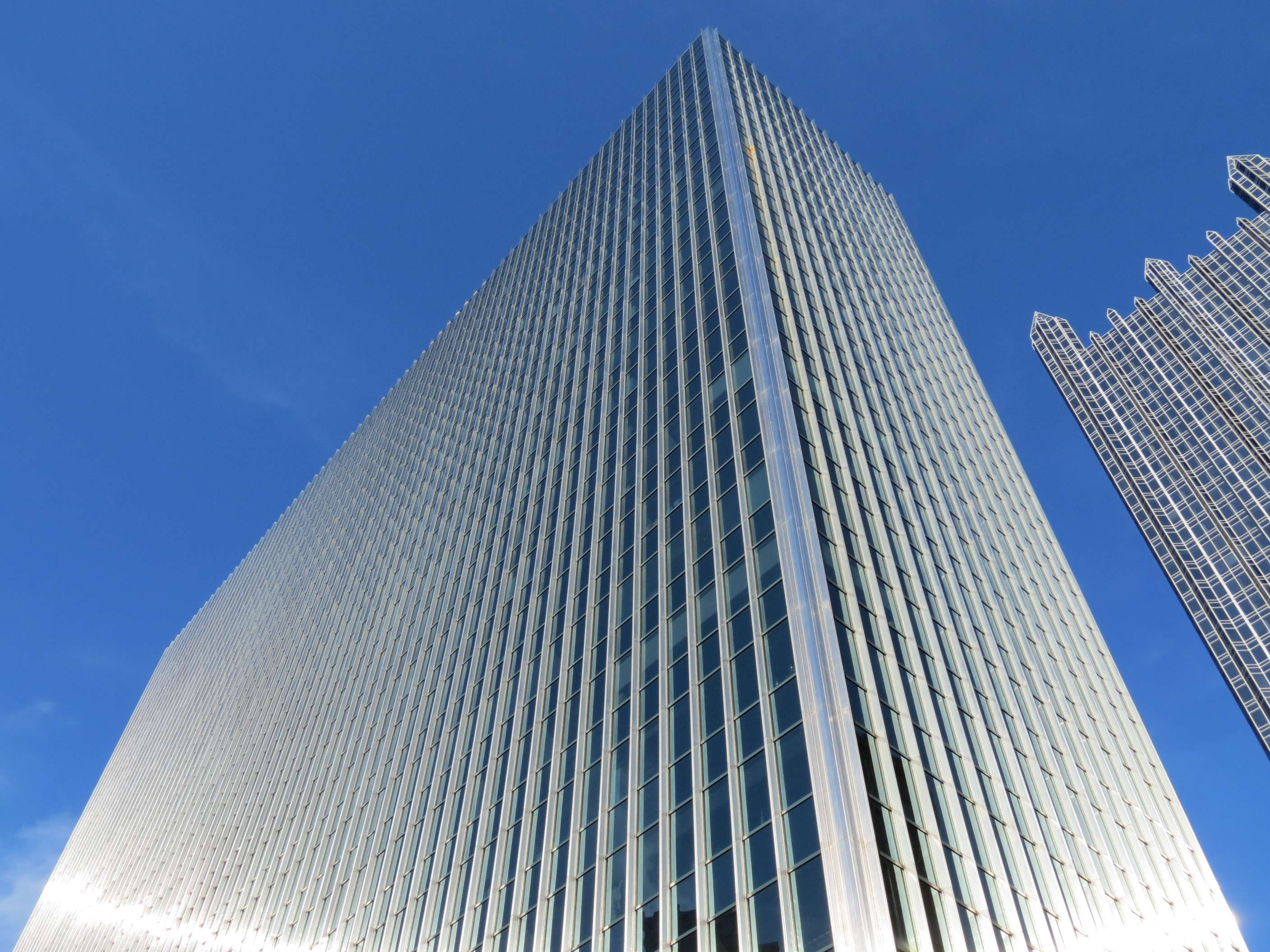
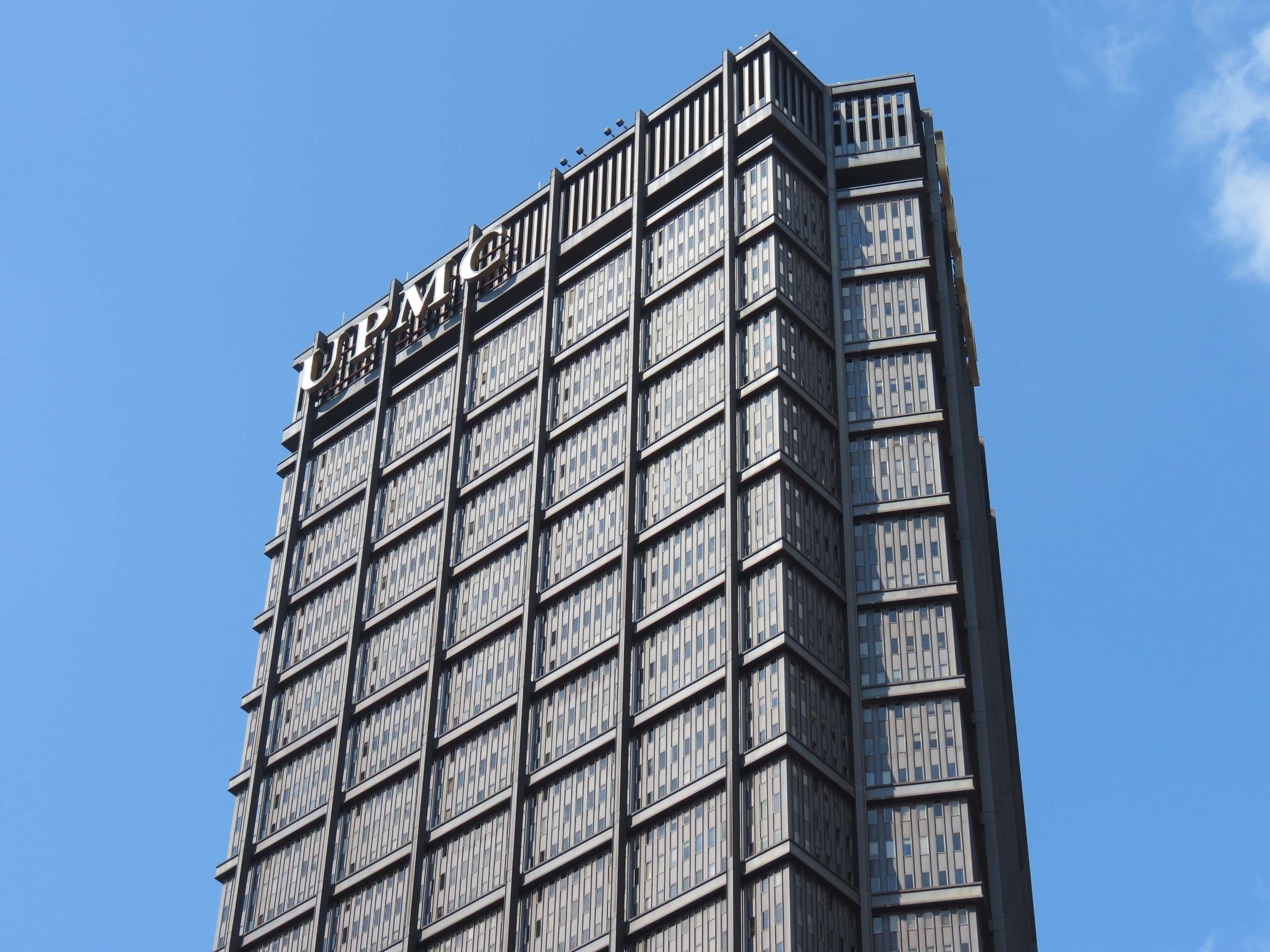
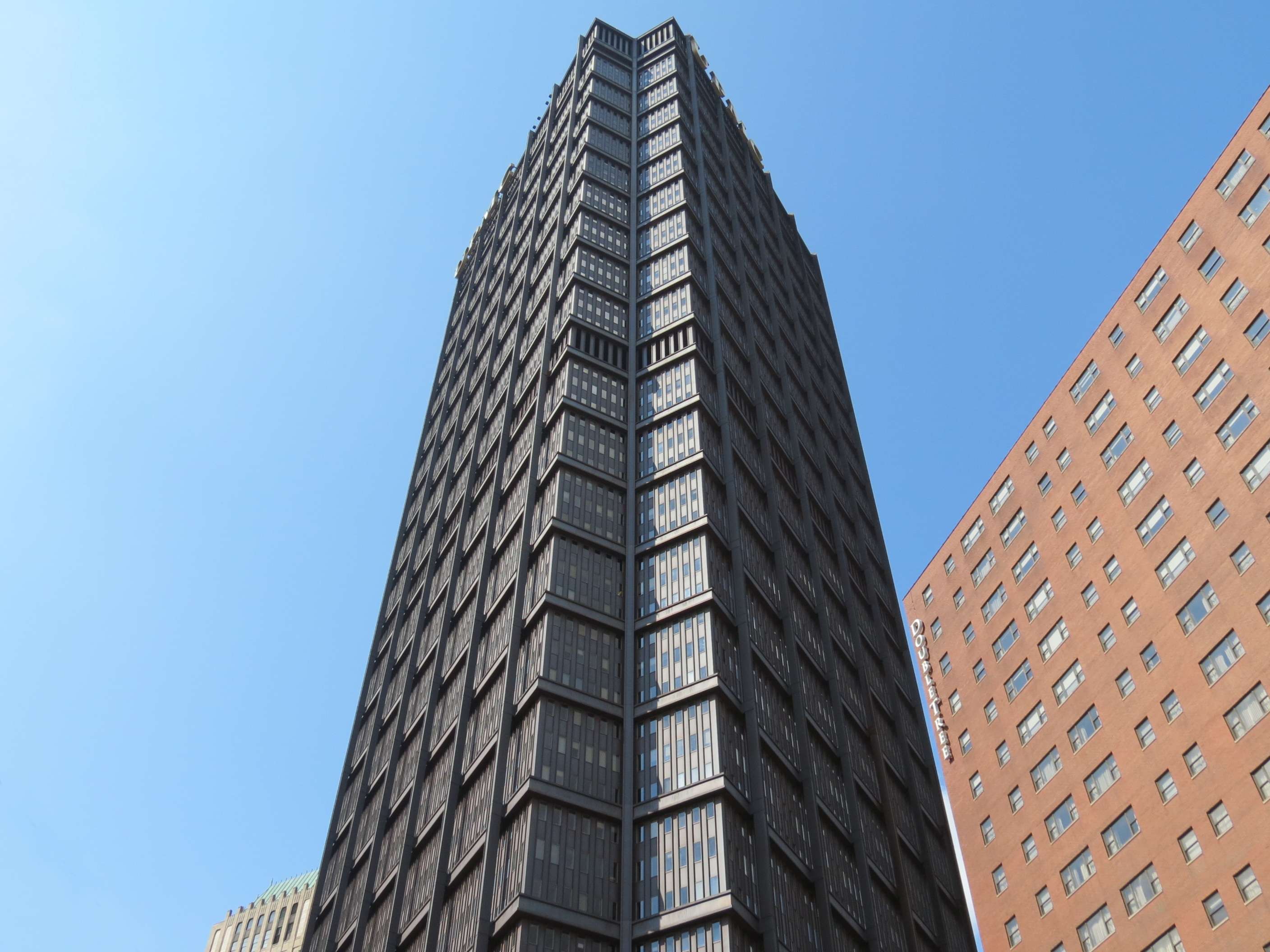
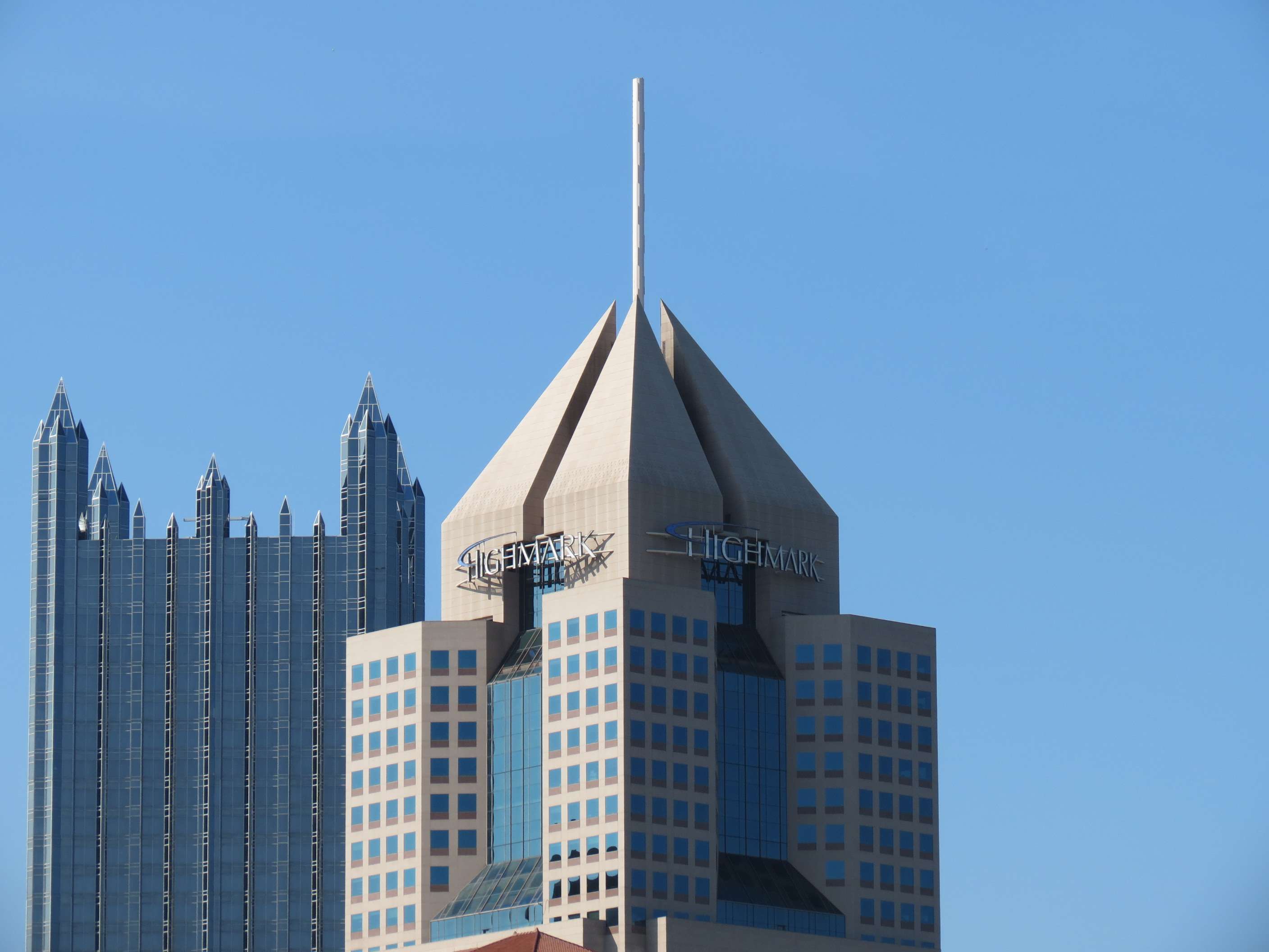
U.S. Steel Tower, 1970:
The University of Pittsburgh Medical Center's (UPMC) sign on the top of this tower is a more recent addition, added since their administrative headquarters occupy the top 5 floors.

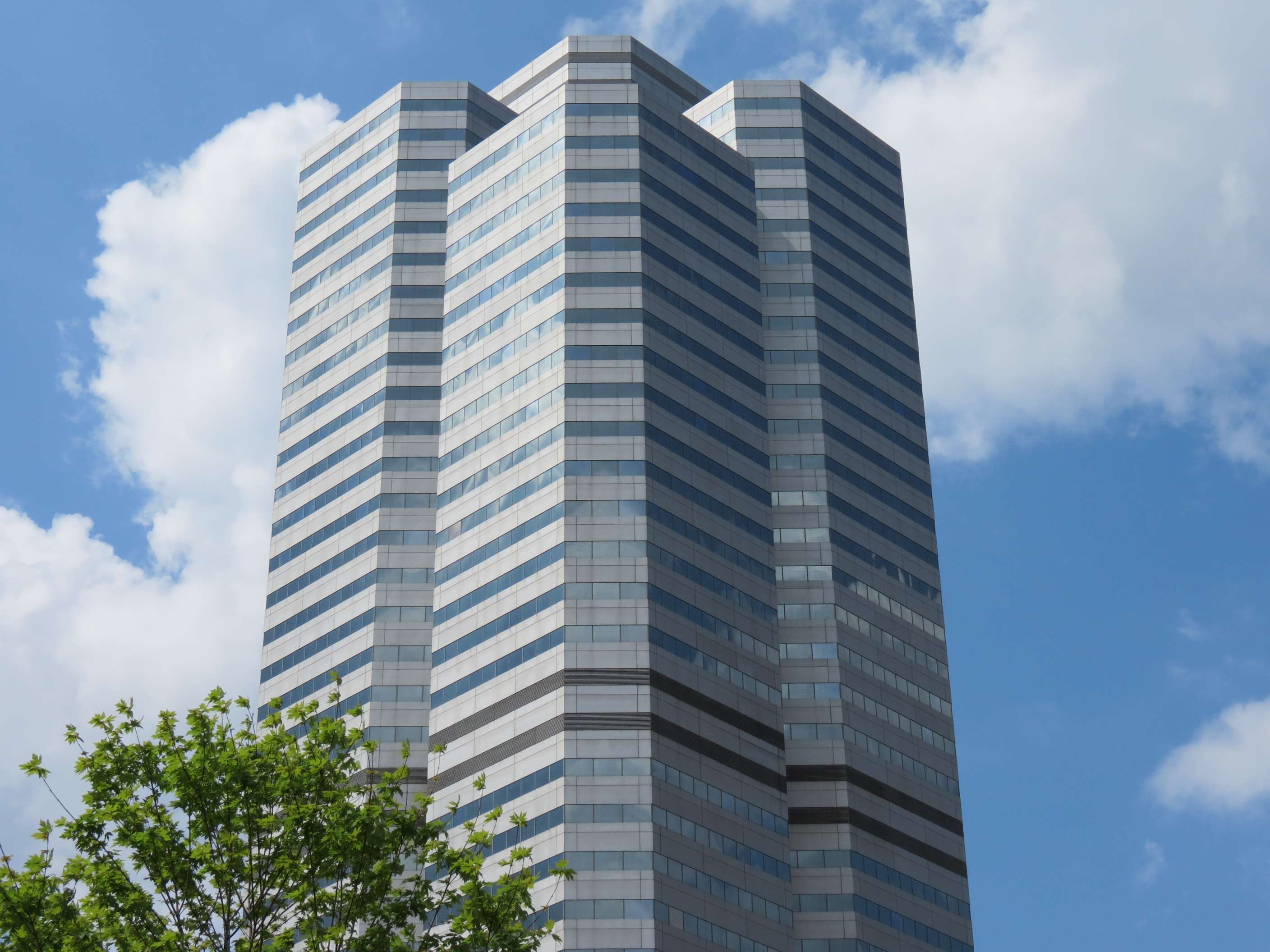
1980's Highrises:
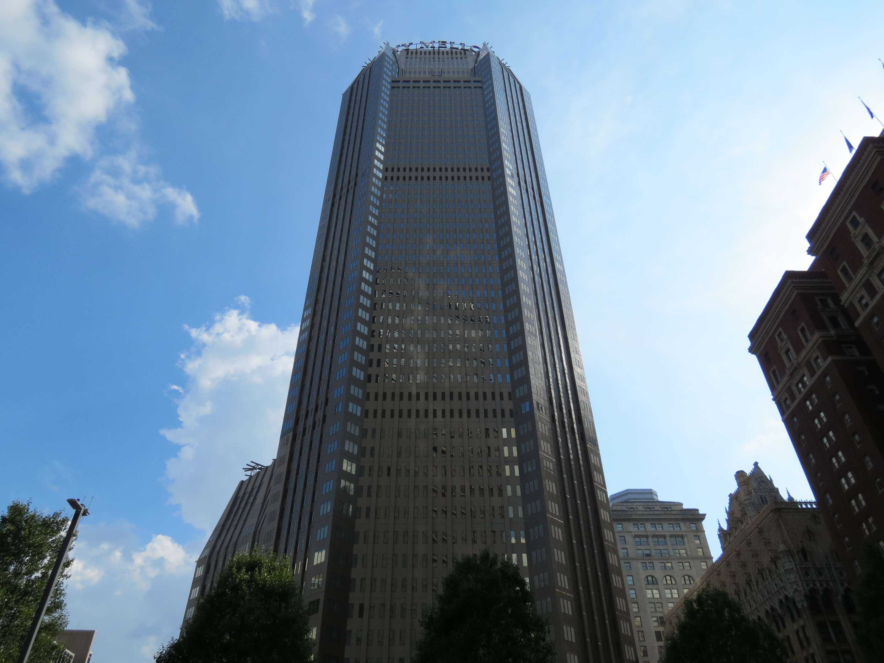
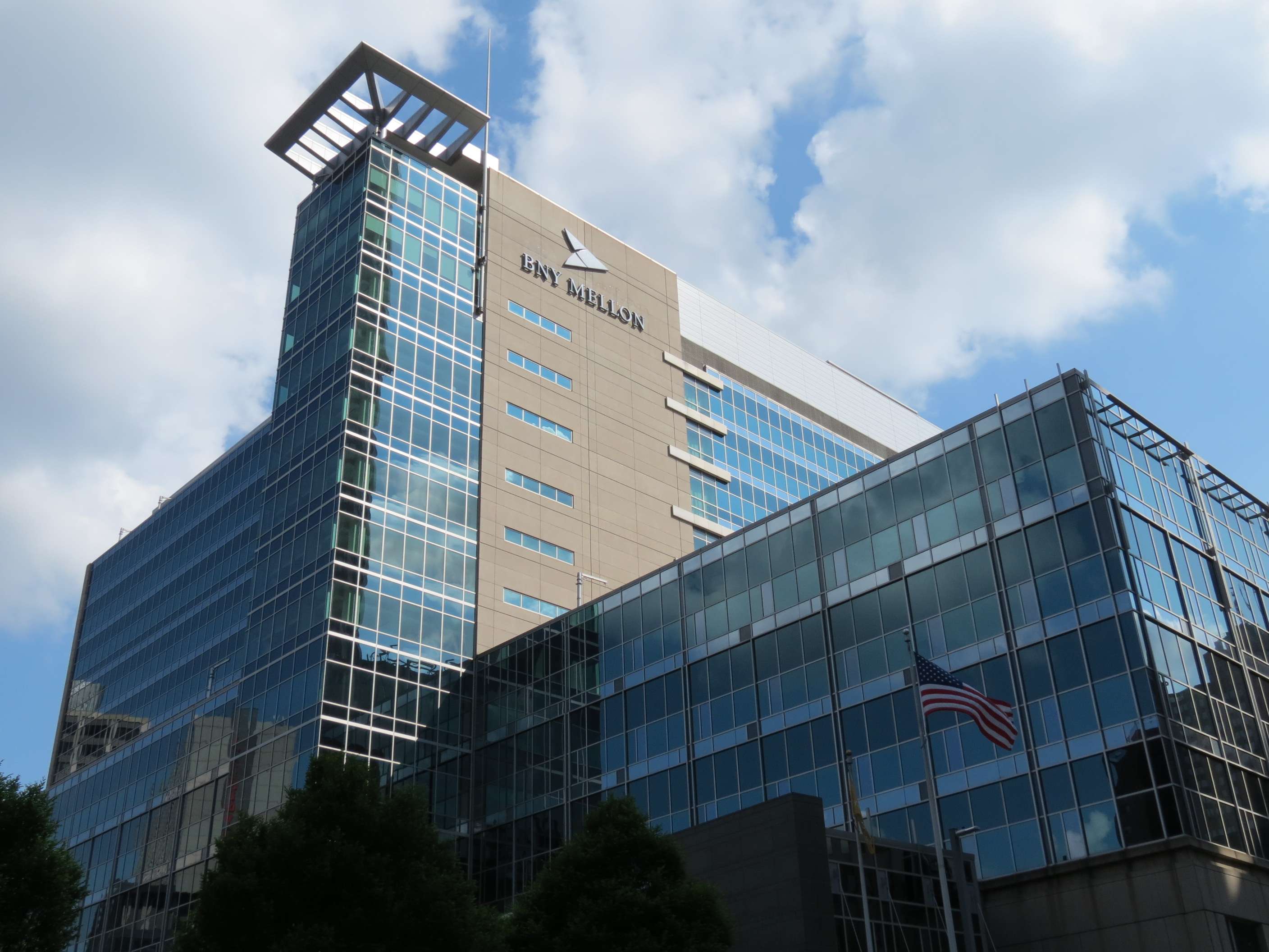
BNY Mellon Center (built as One Mellon Center), 1983:
One Oxford Center, 1983:
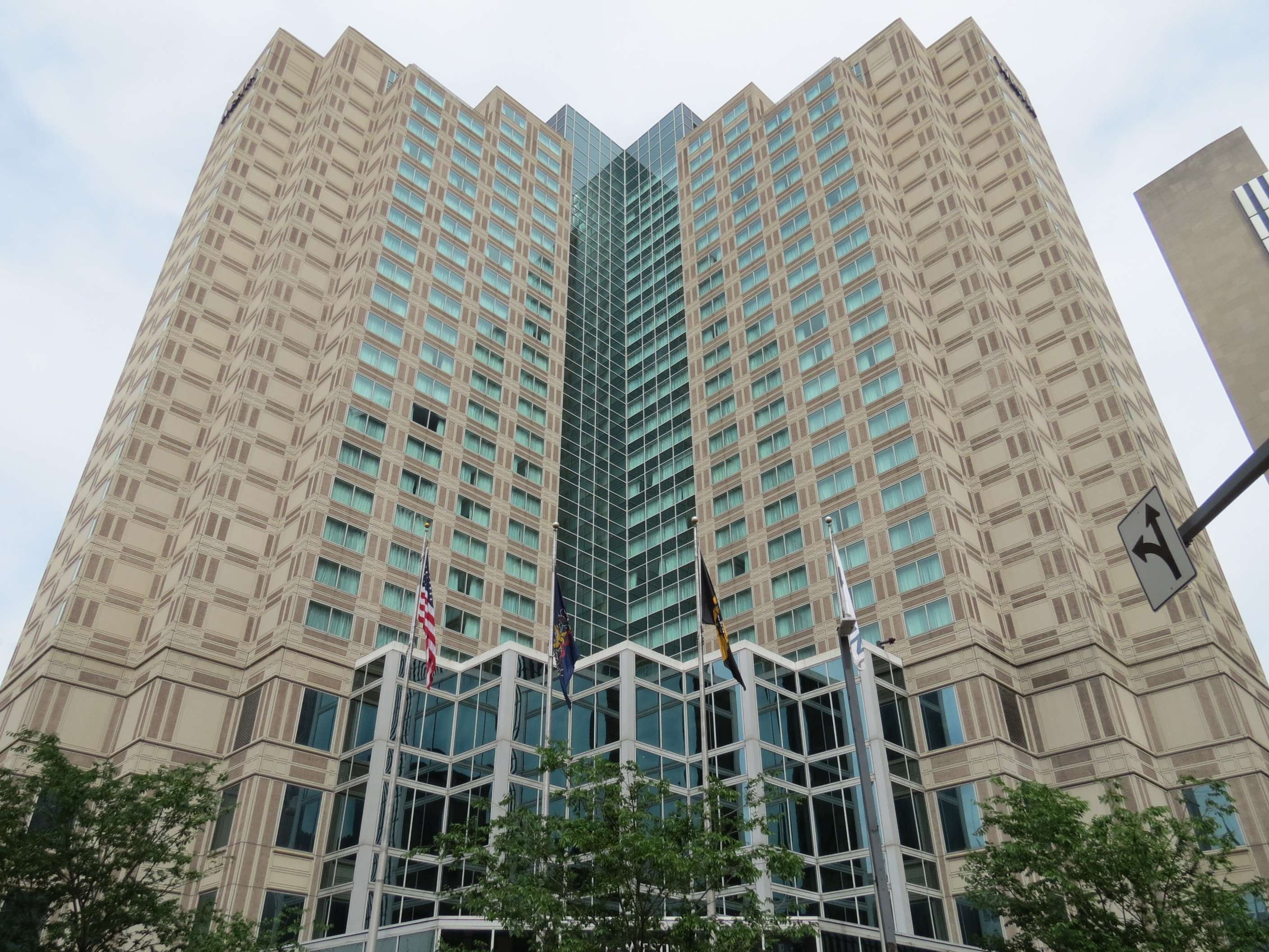
Westin Convention Center Hotel, 1986:
EQT Plaza (built as CNG Tower), 1987:

Fifth Avenue Place (built as Hillman Tower), 1988:
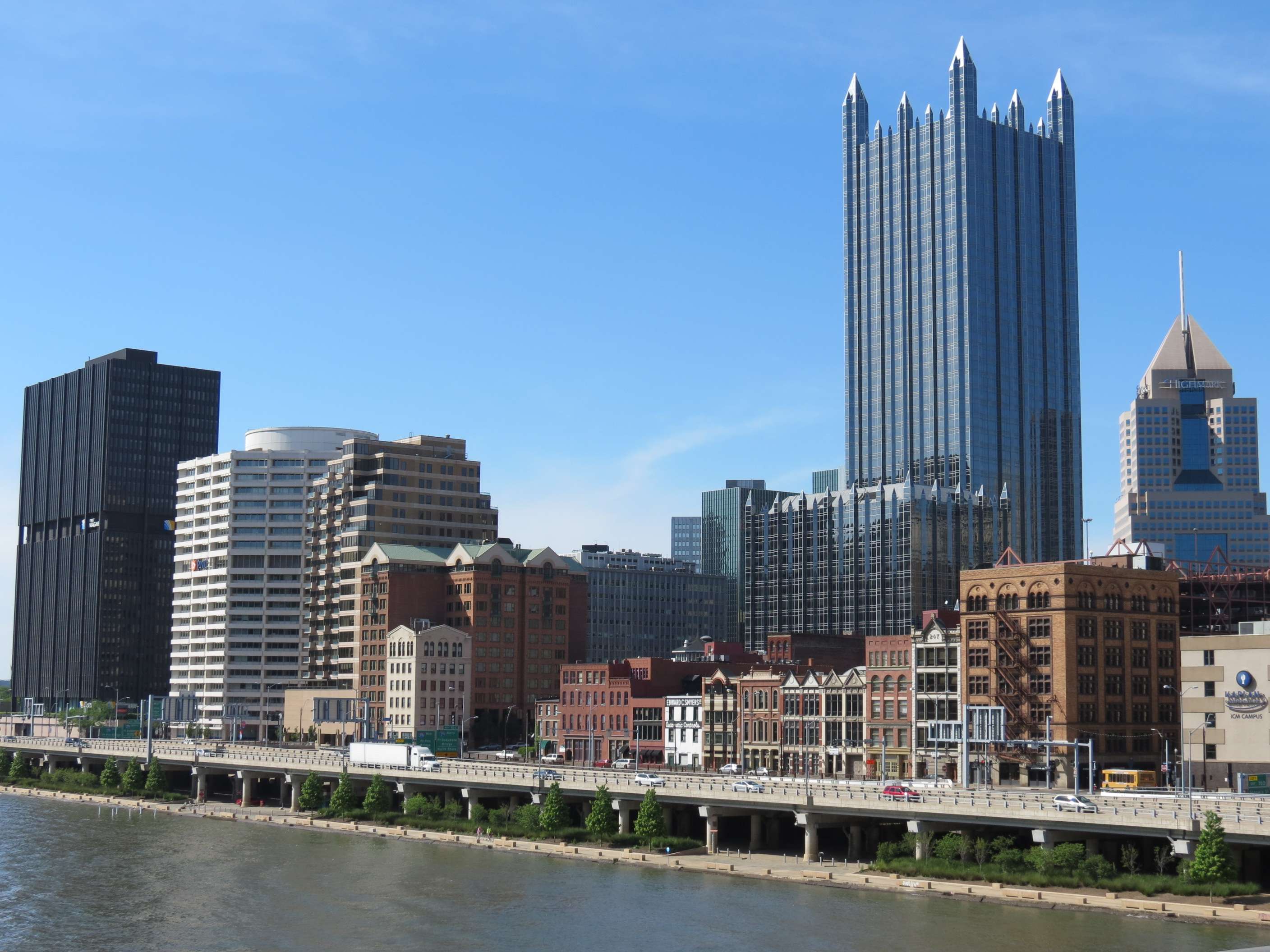
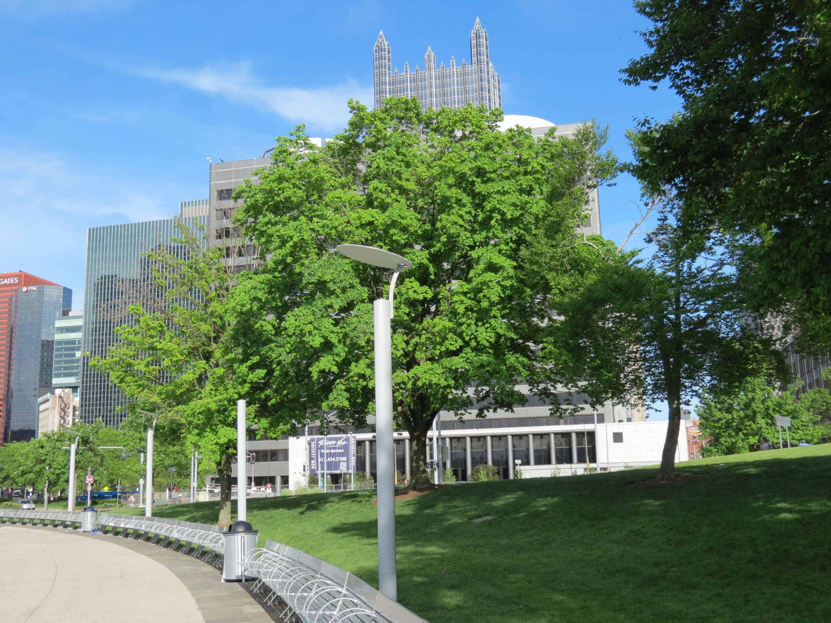
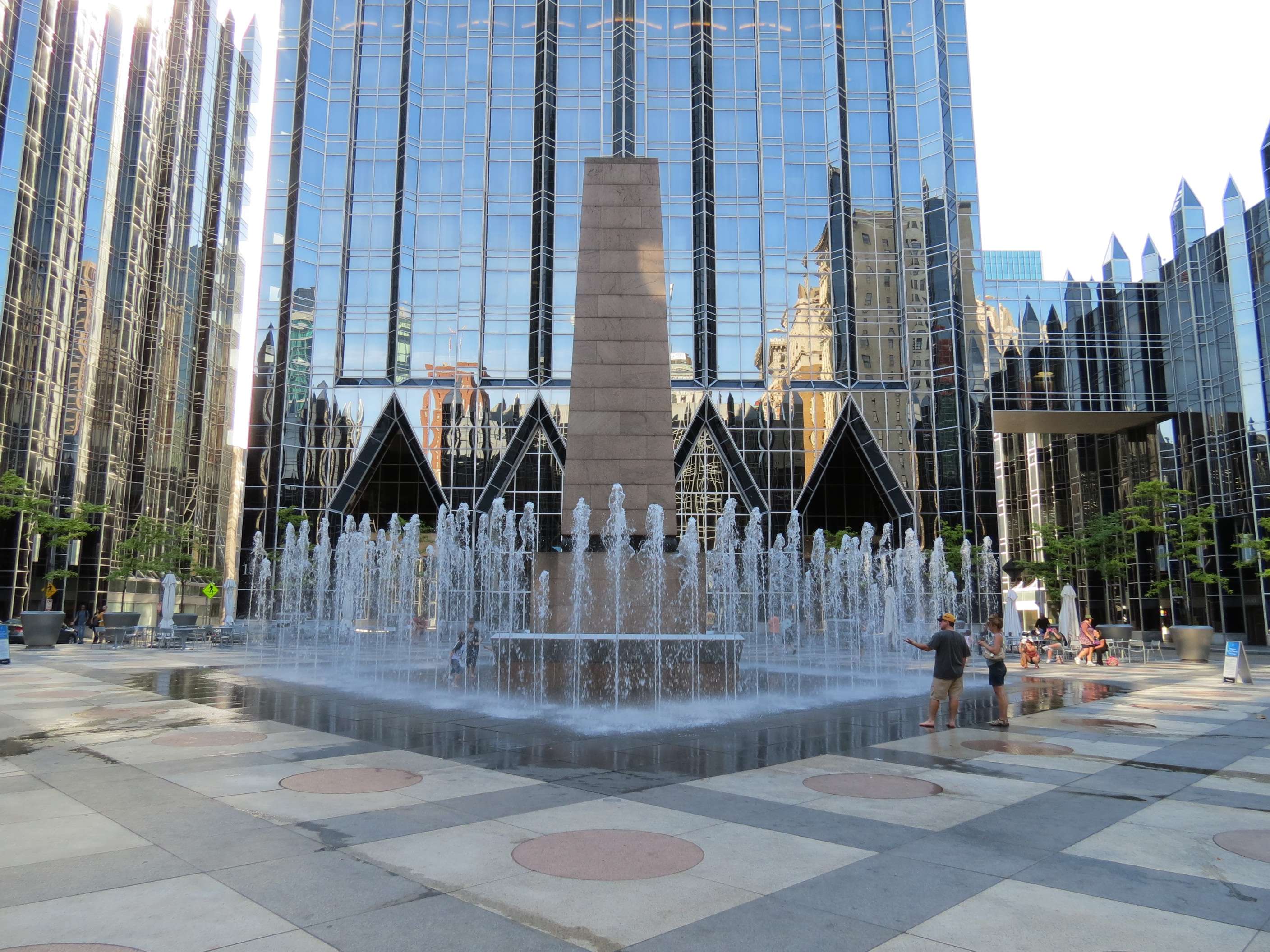
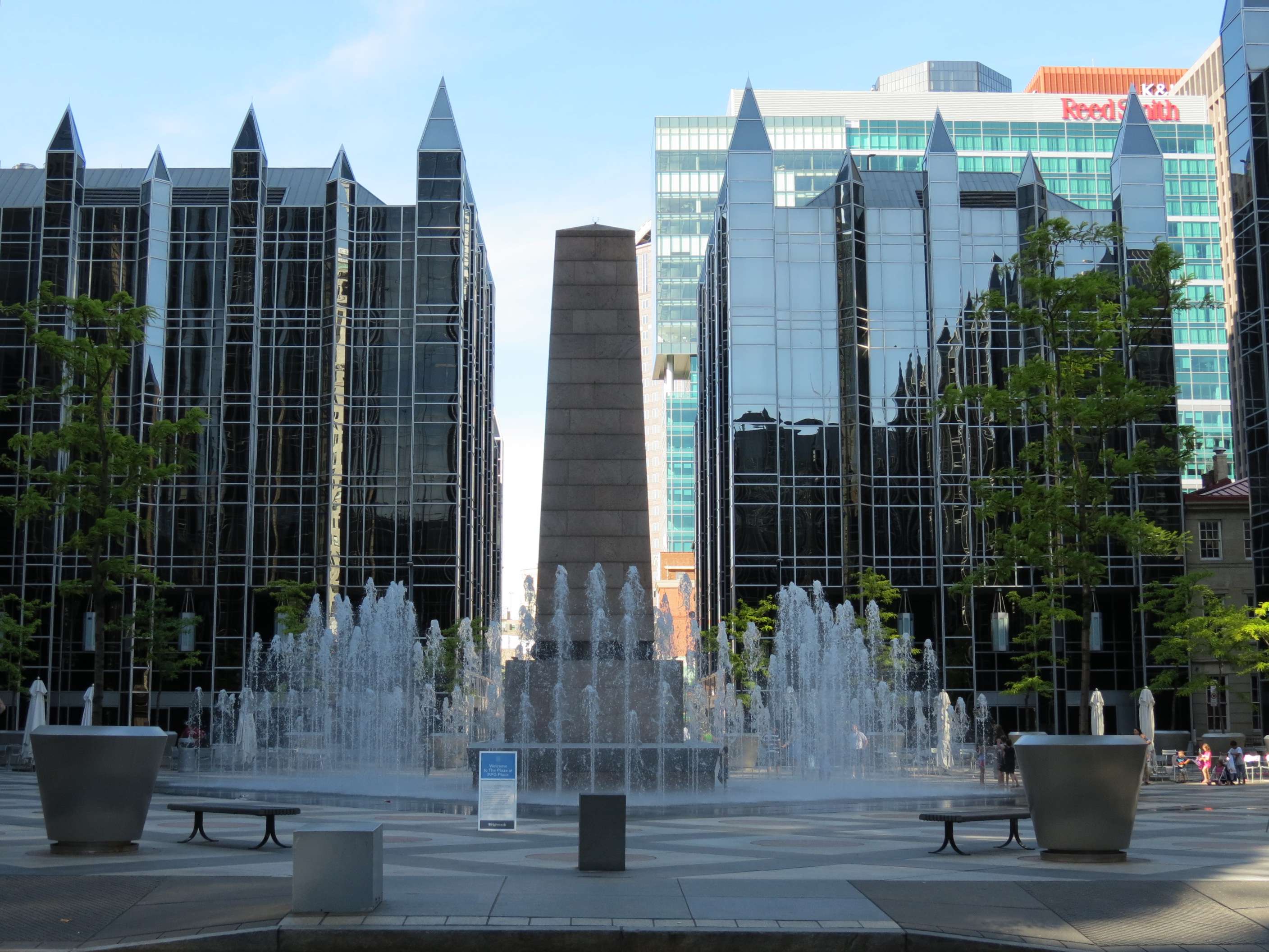
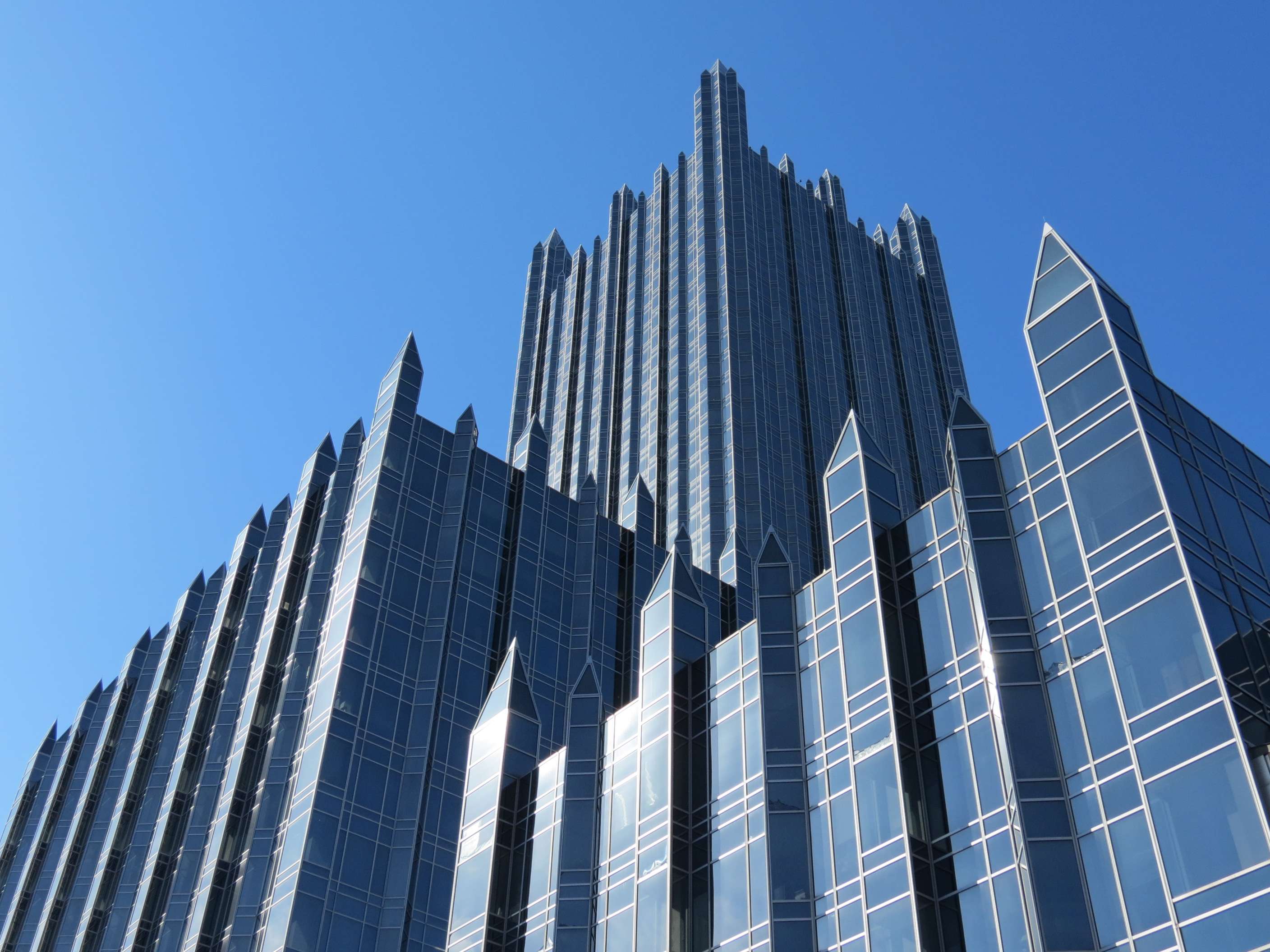
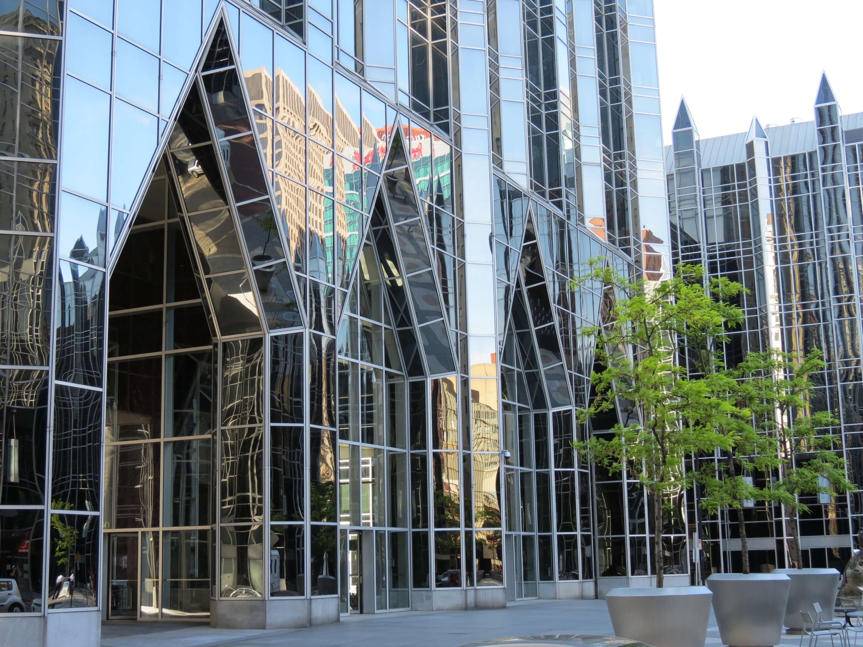
PPG Place, 1984:
One PPG Place is the name of the main tower, but a collection of 5 shorter buildings of similar design and materials clusters around a square with a fountain in this complex designed by Philip Johnson and John Burgee.

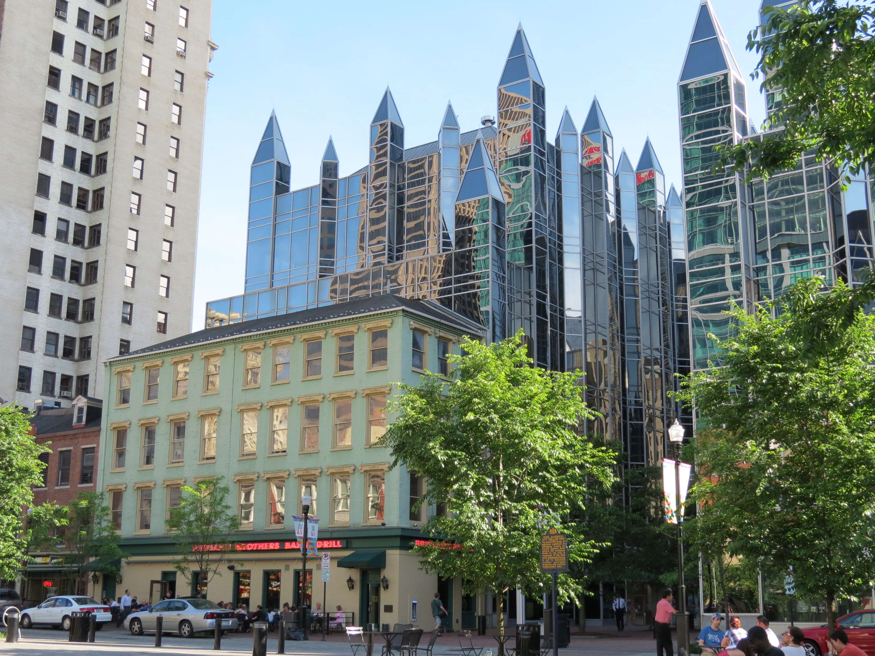
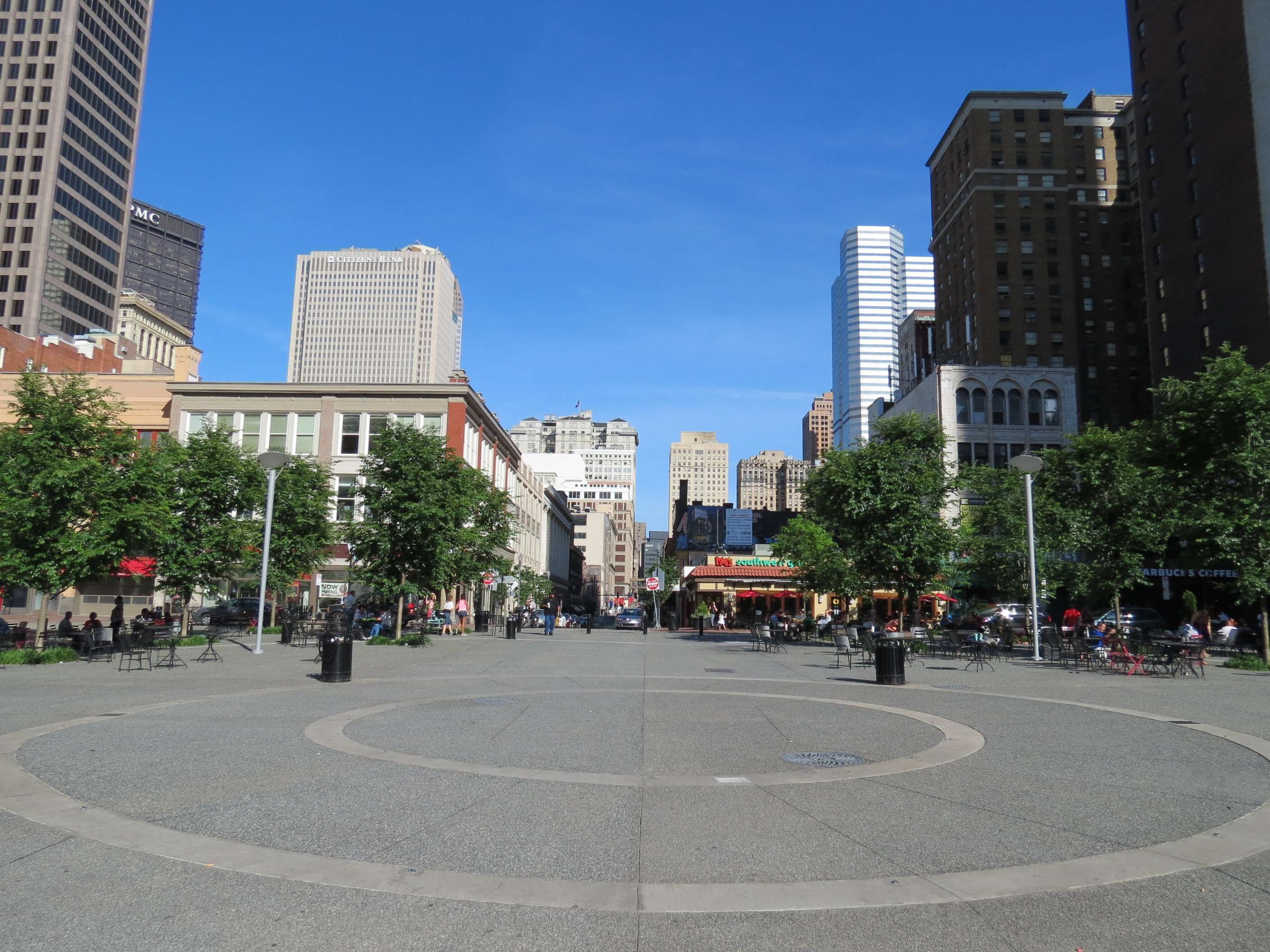
Market Square:
Just a block away from PPG Place's square is this historic square, recently renovated, that has a view of a wide variety of Downtown's buildings.
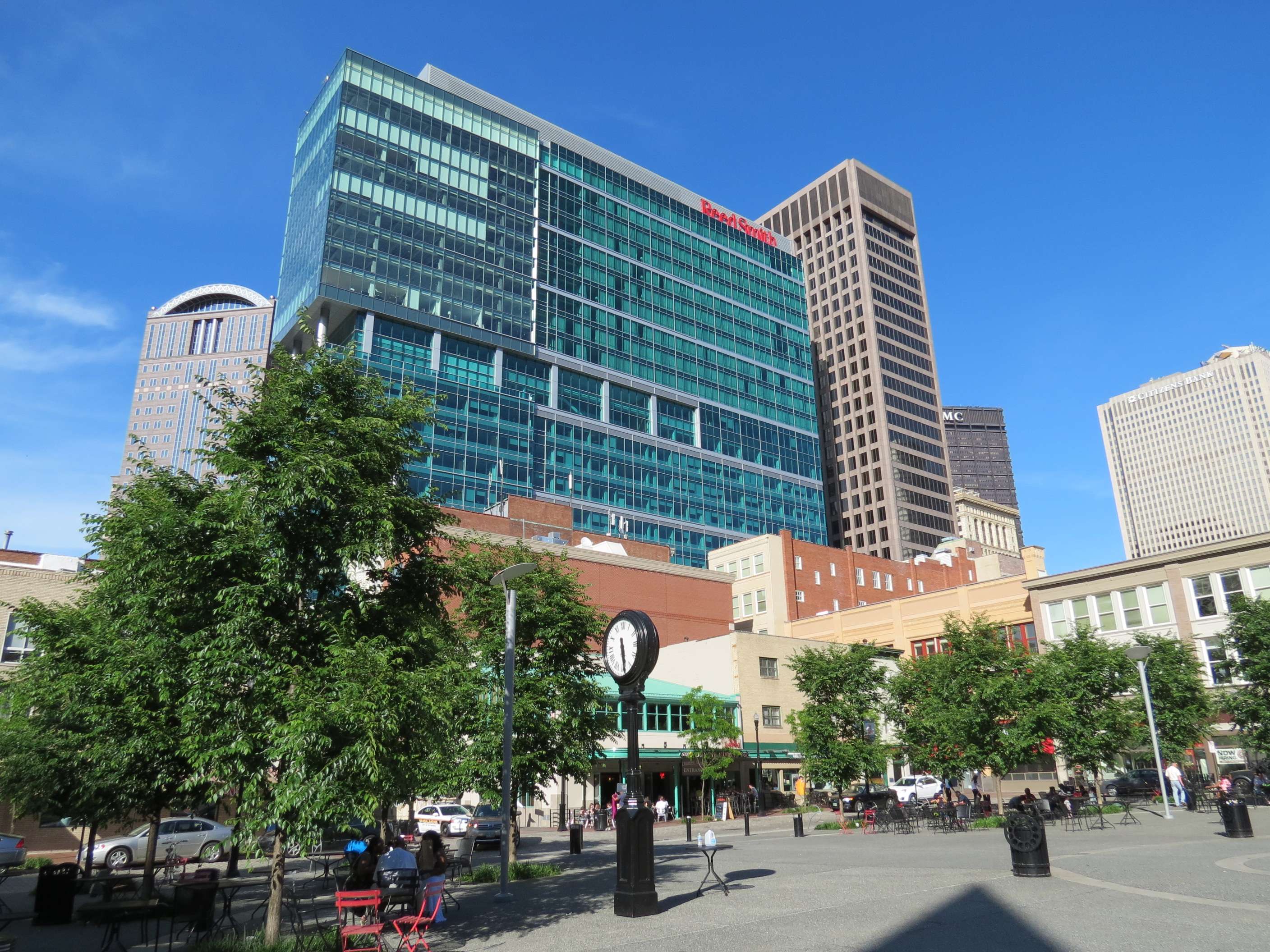
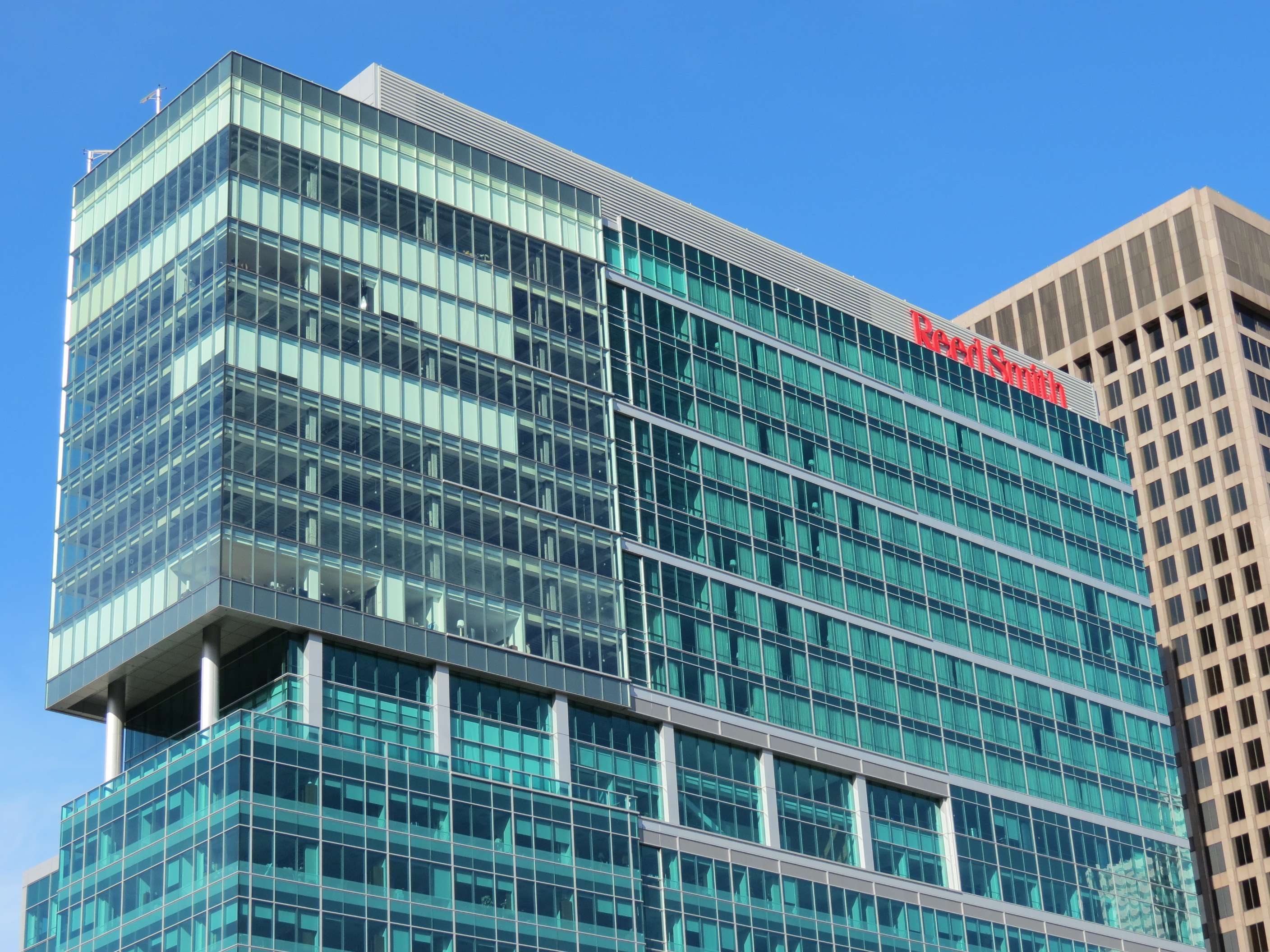
Recent Developments:
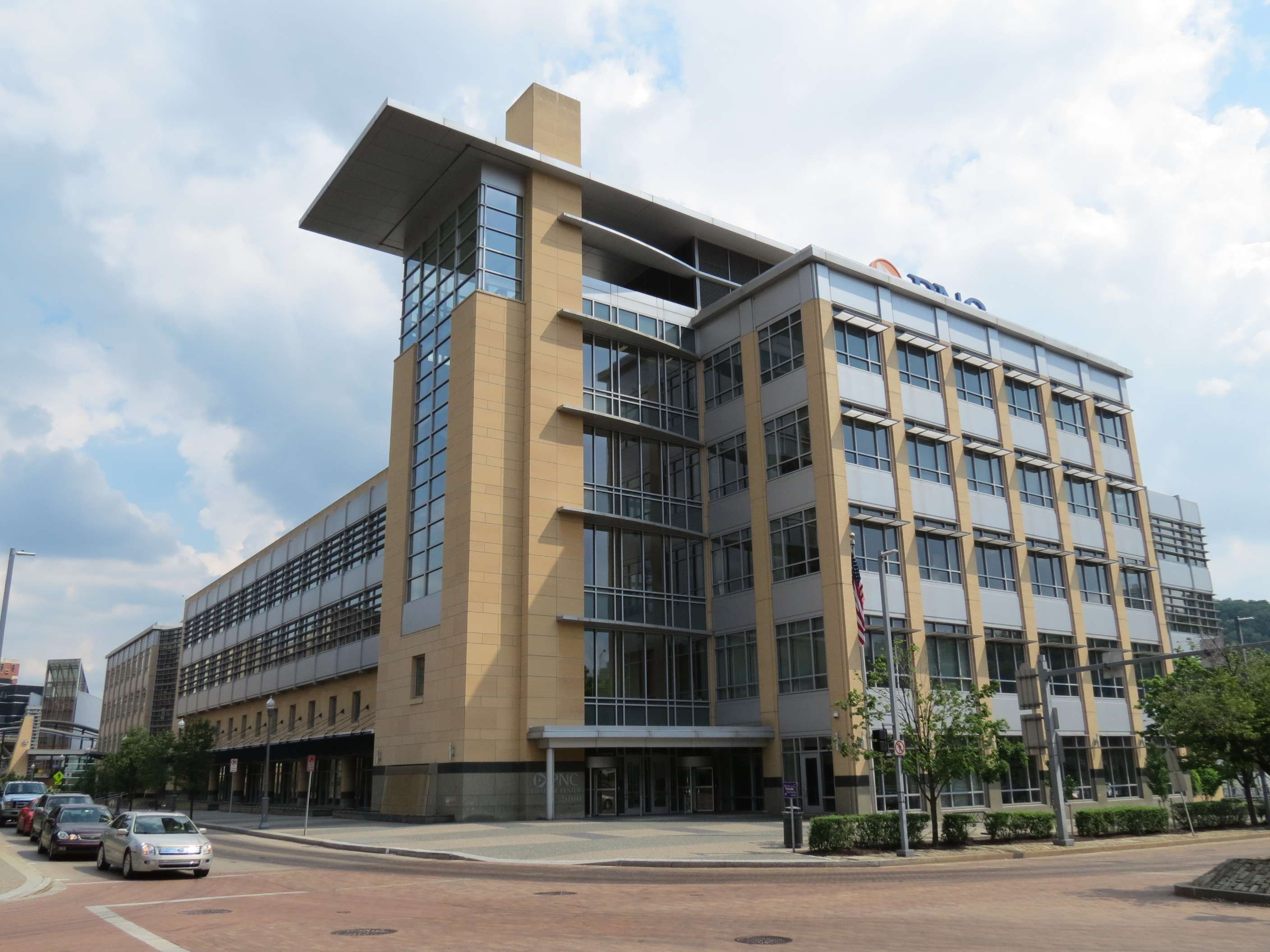
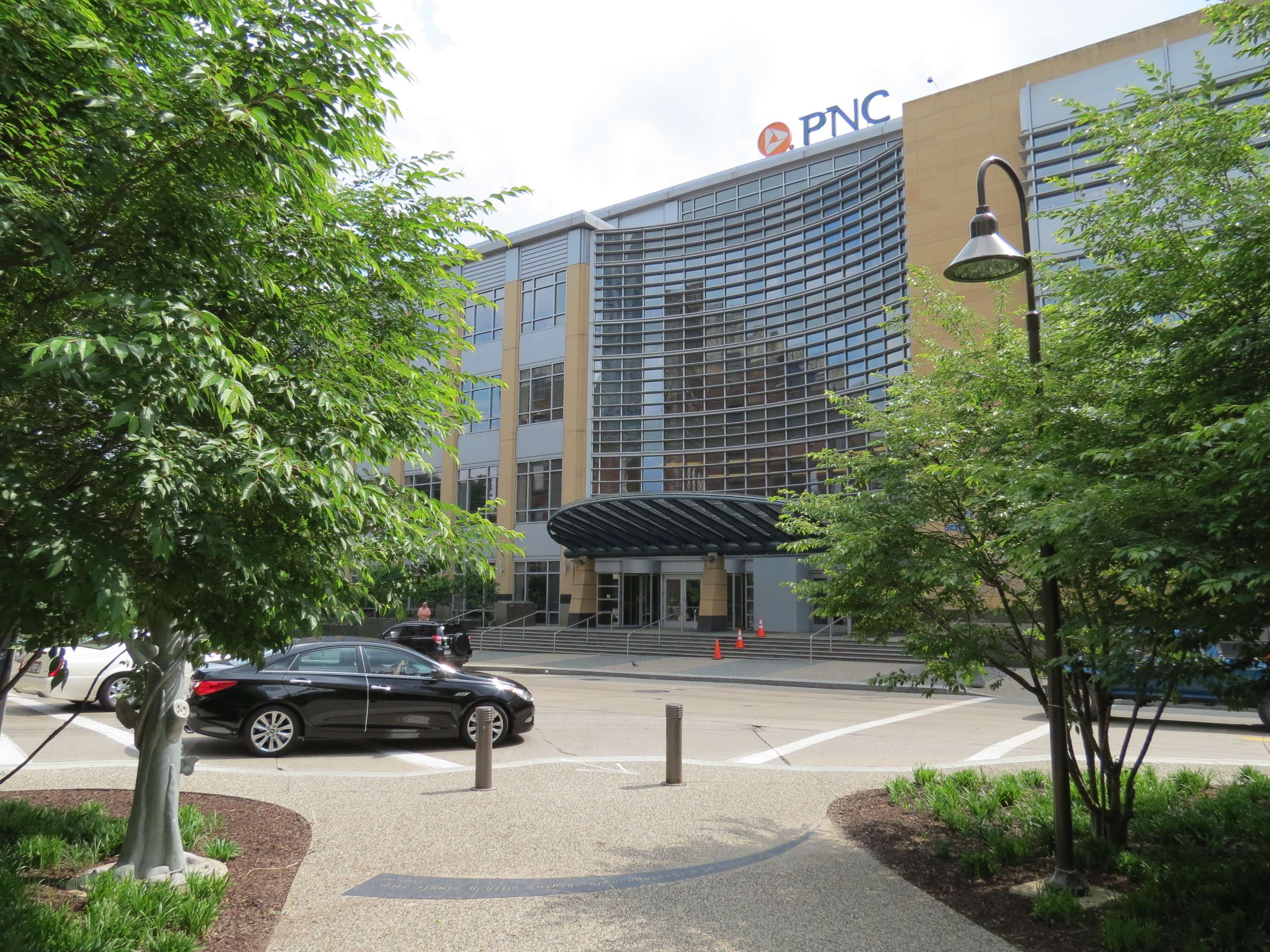
Three PNC Plaza, 2009:
This highrise is a major new sight seen from Market Square and one of only a few recent highrises.
BNY Mellon Client Service Center, 2000:
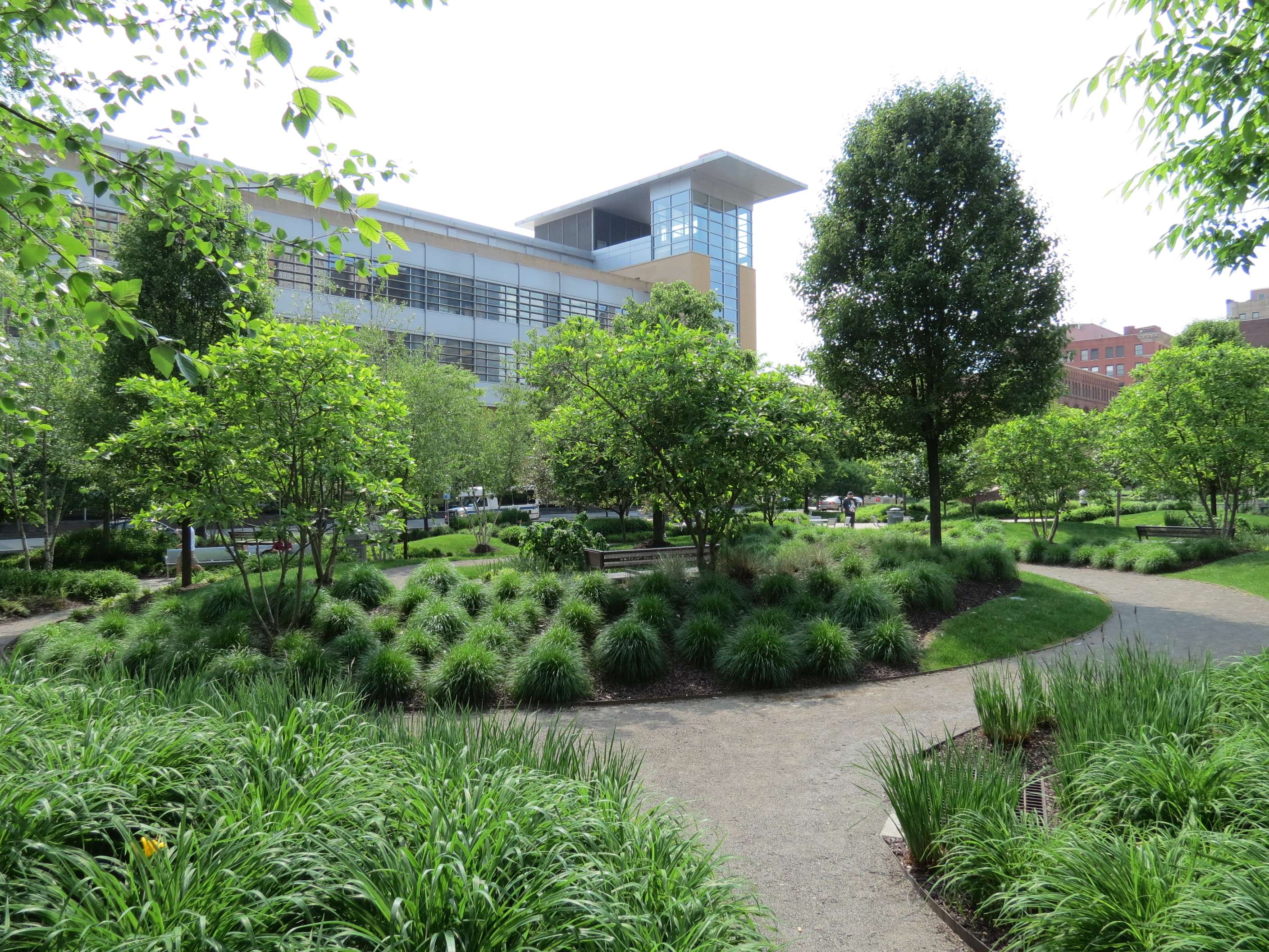
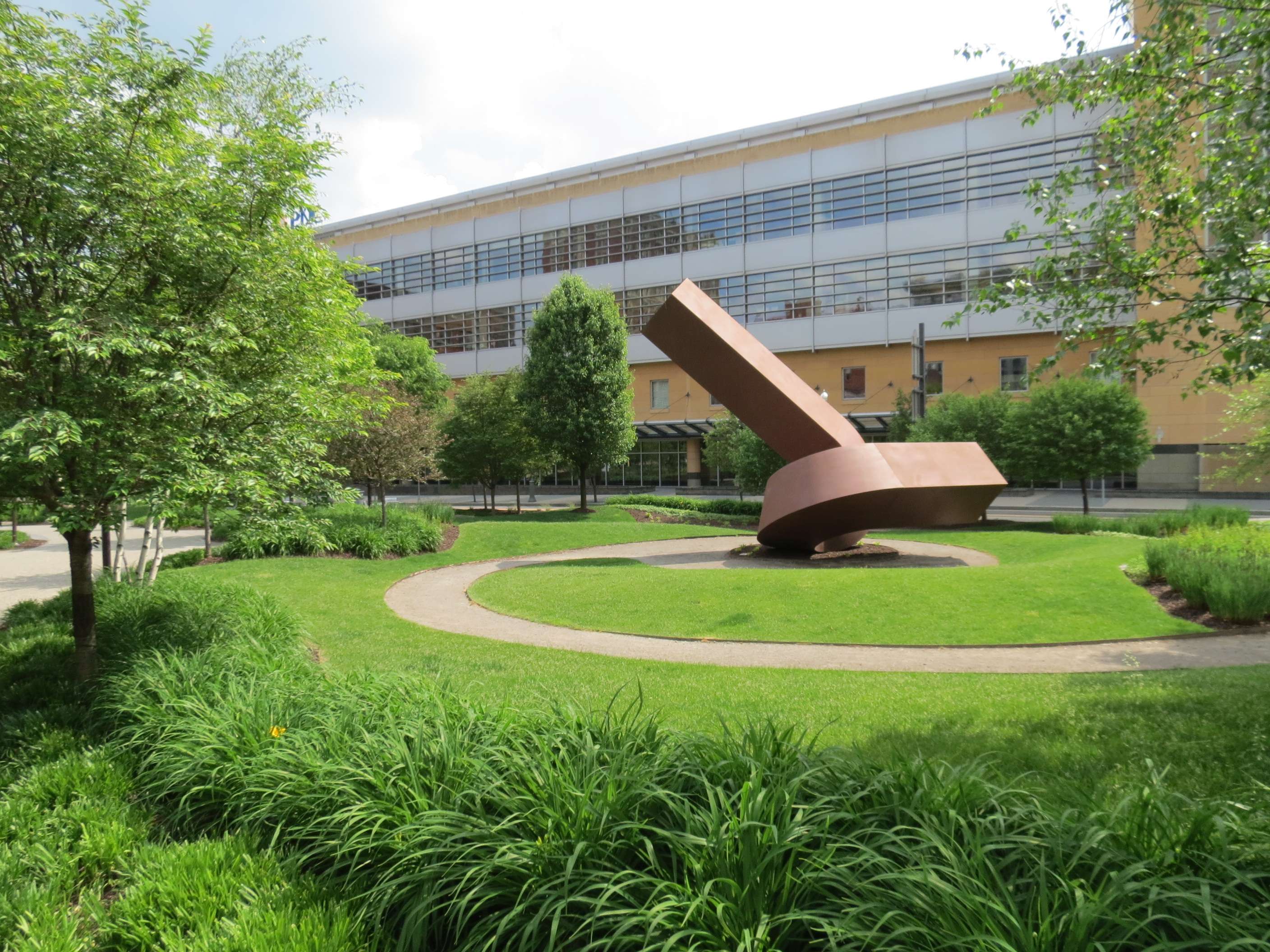
PNC Firstside Center (2000) and Park (2007):

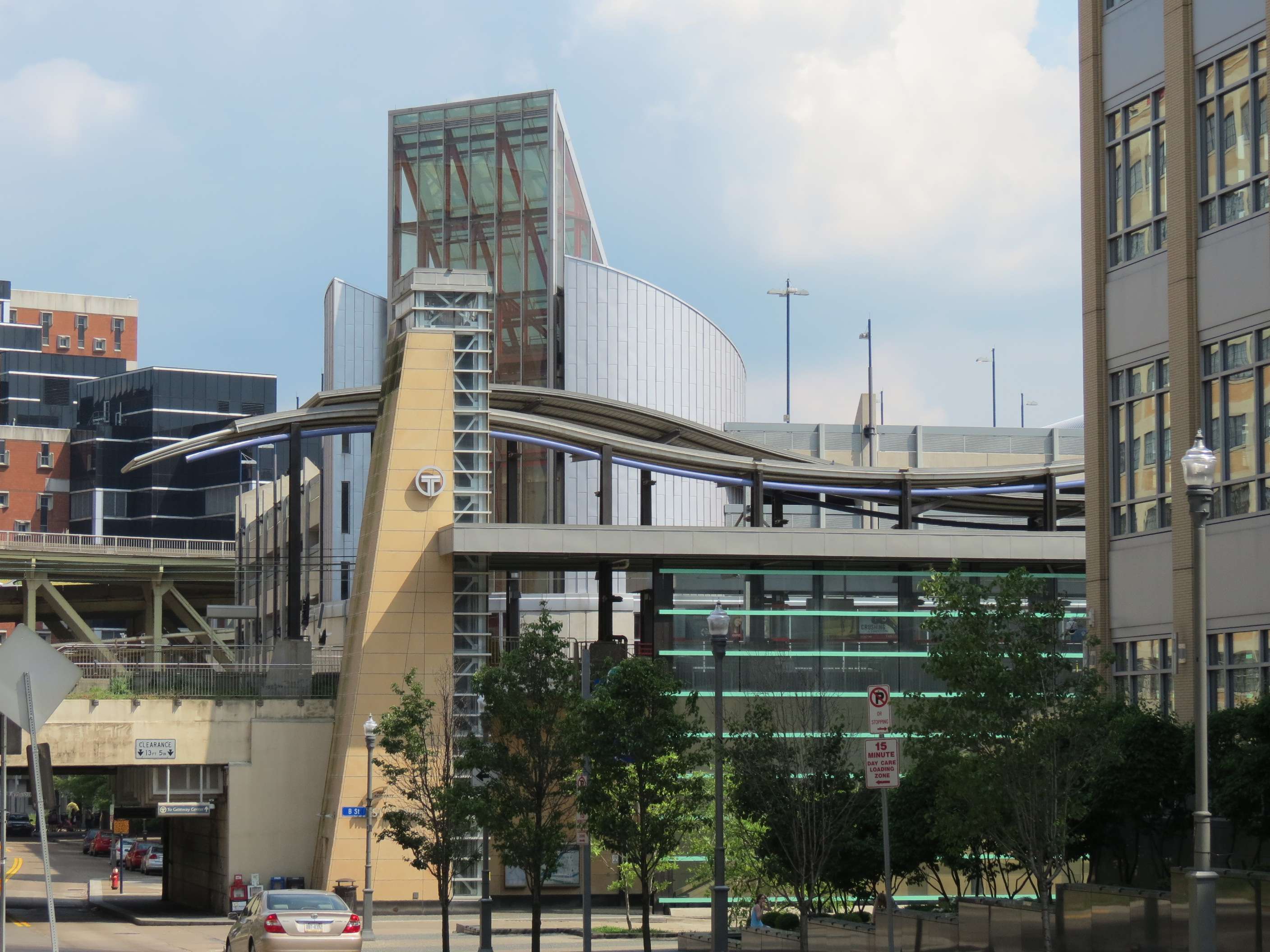
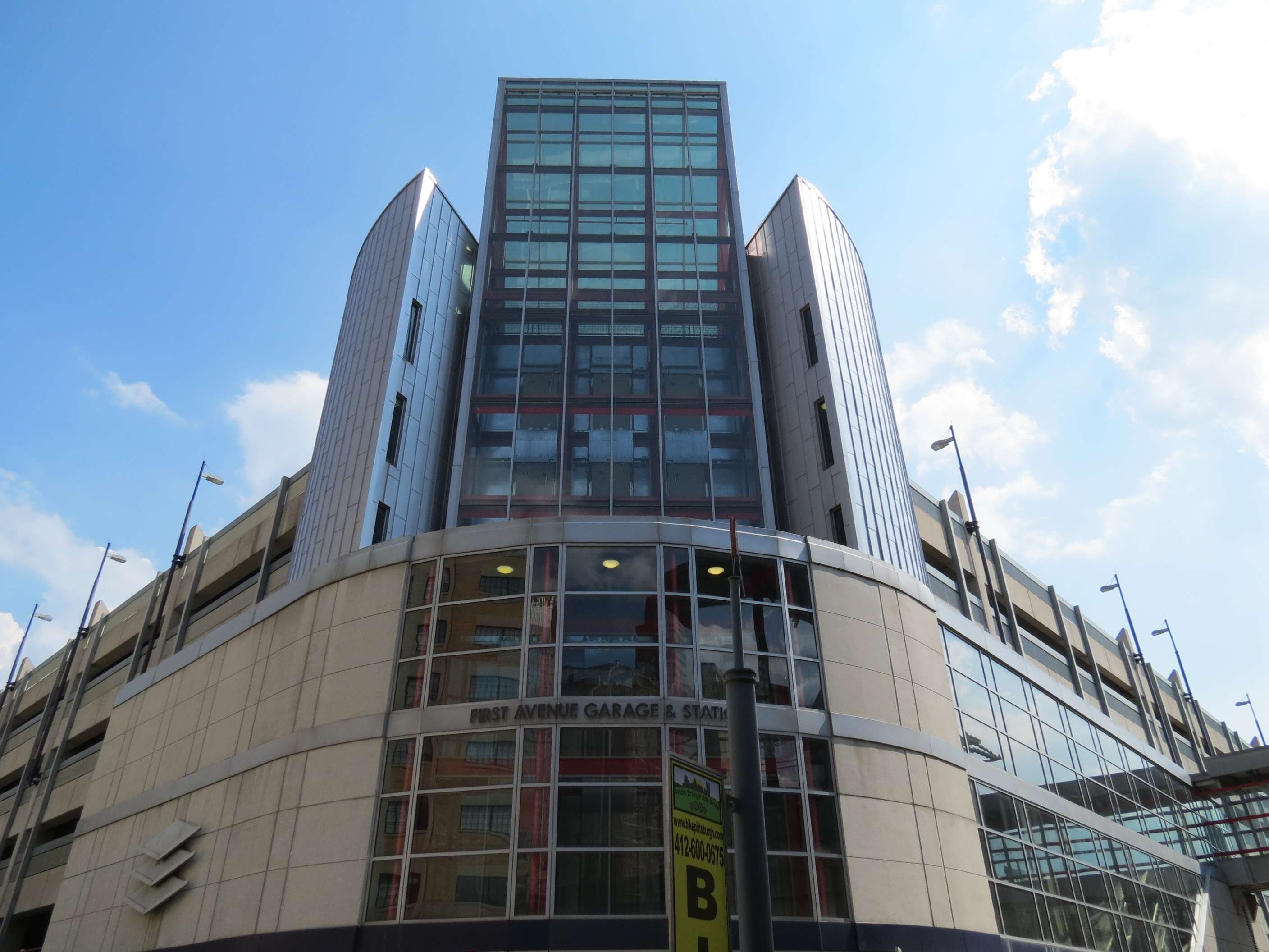
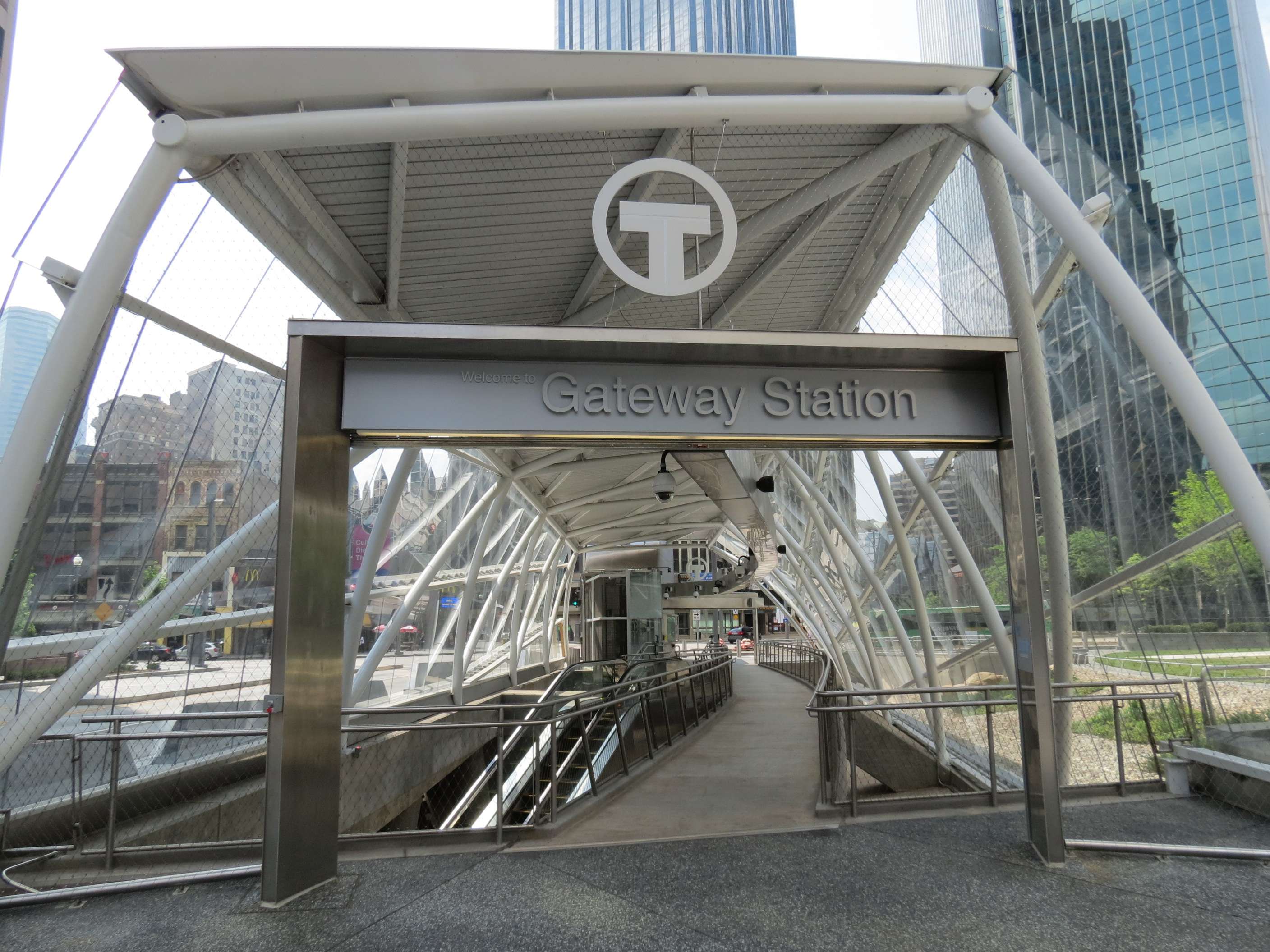
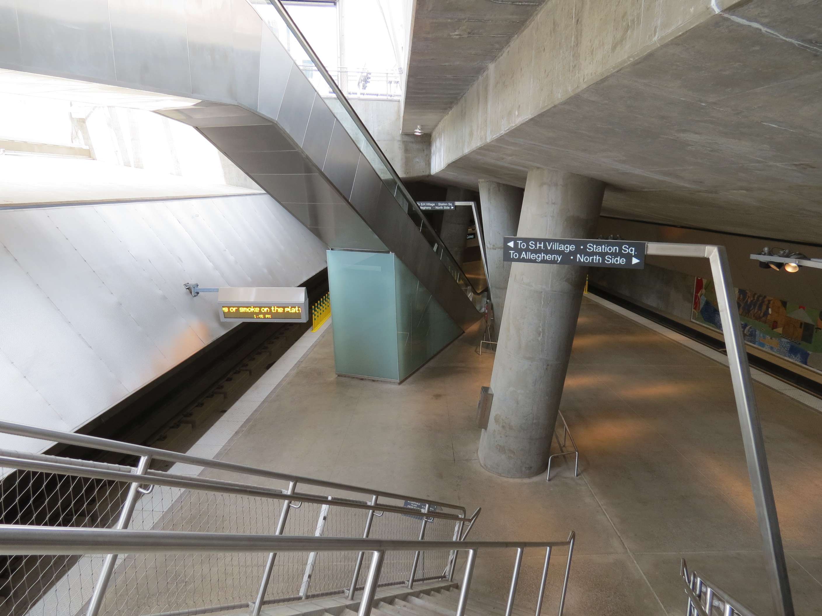
First Avenue T Station and Garage, 2001:
Downtown has 4 light rail stations, 3 of which are subterranean; this is the only elevated one.

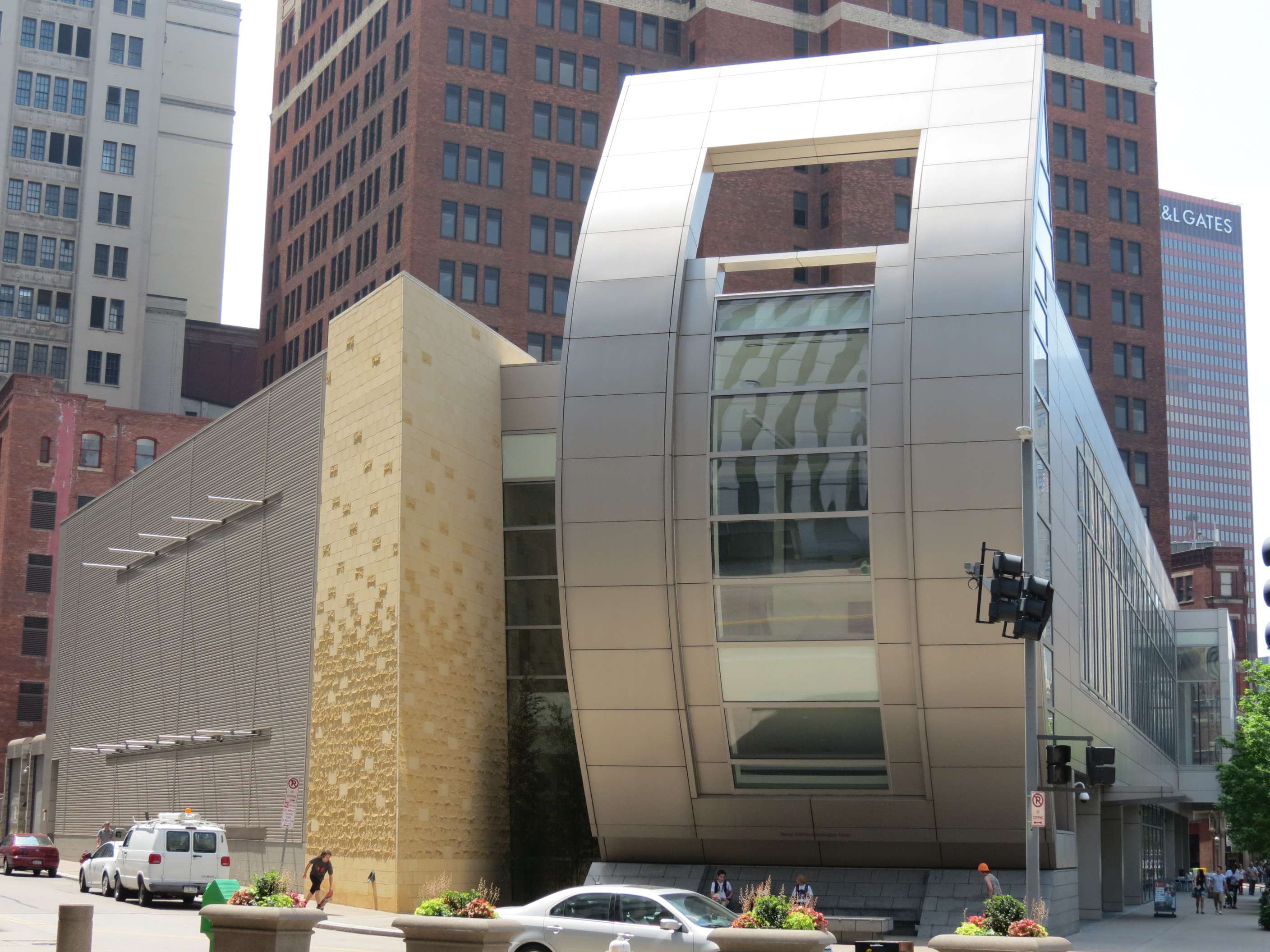
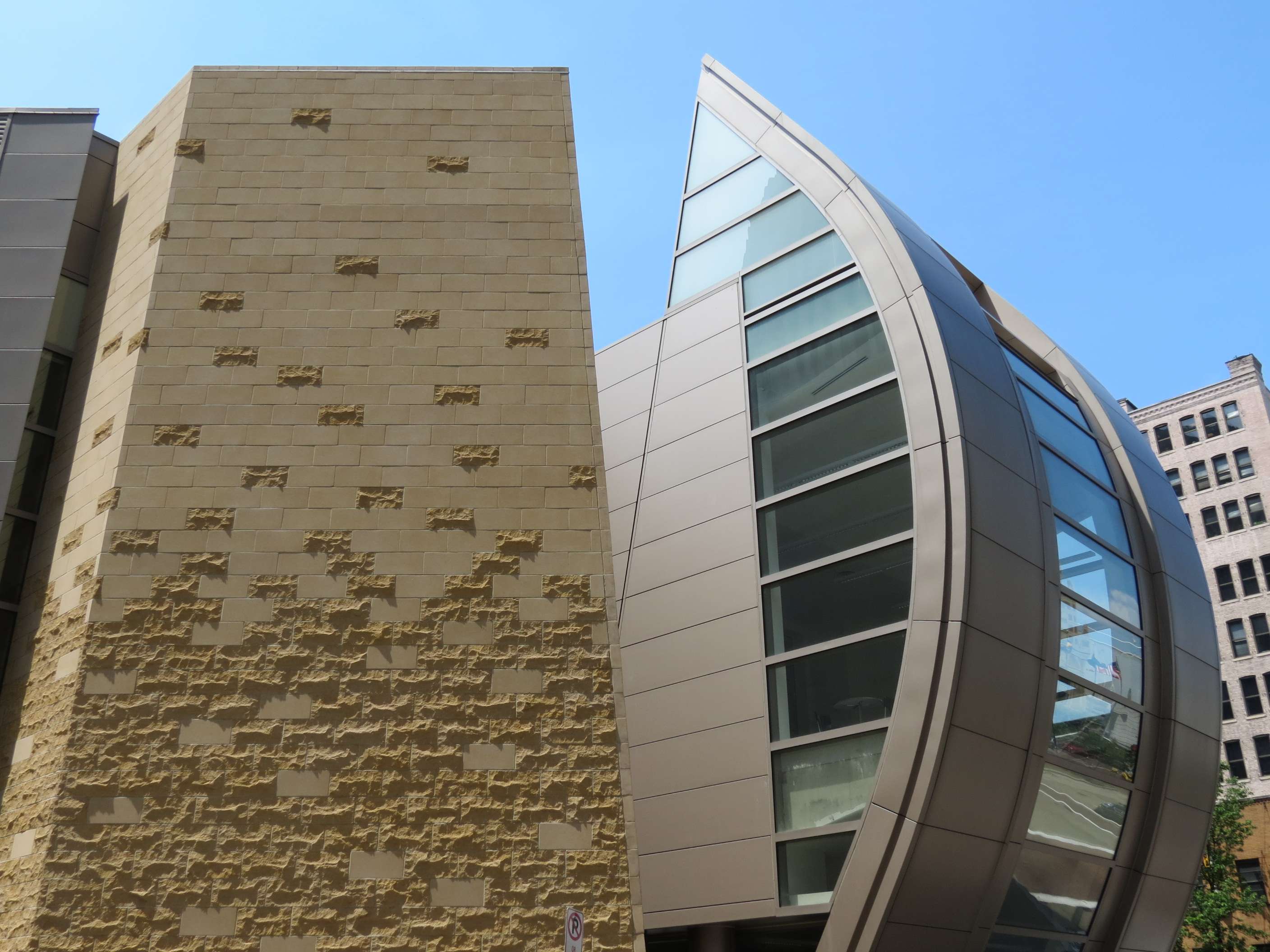
August Wilson Center for African American Culture, 2009:
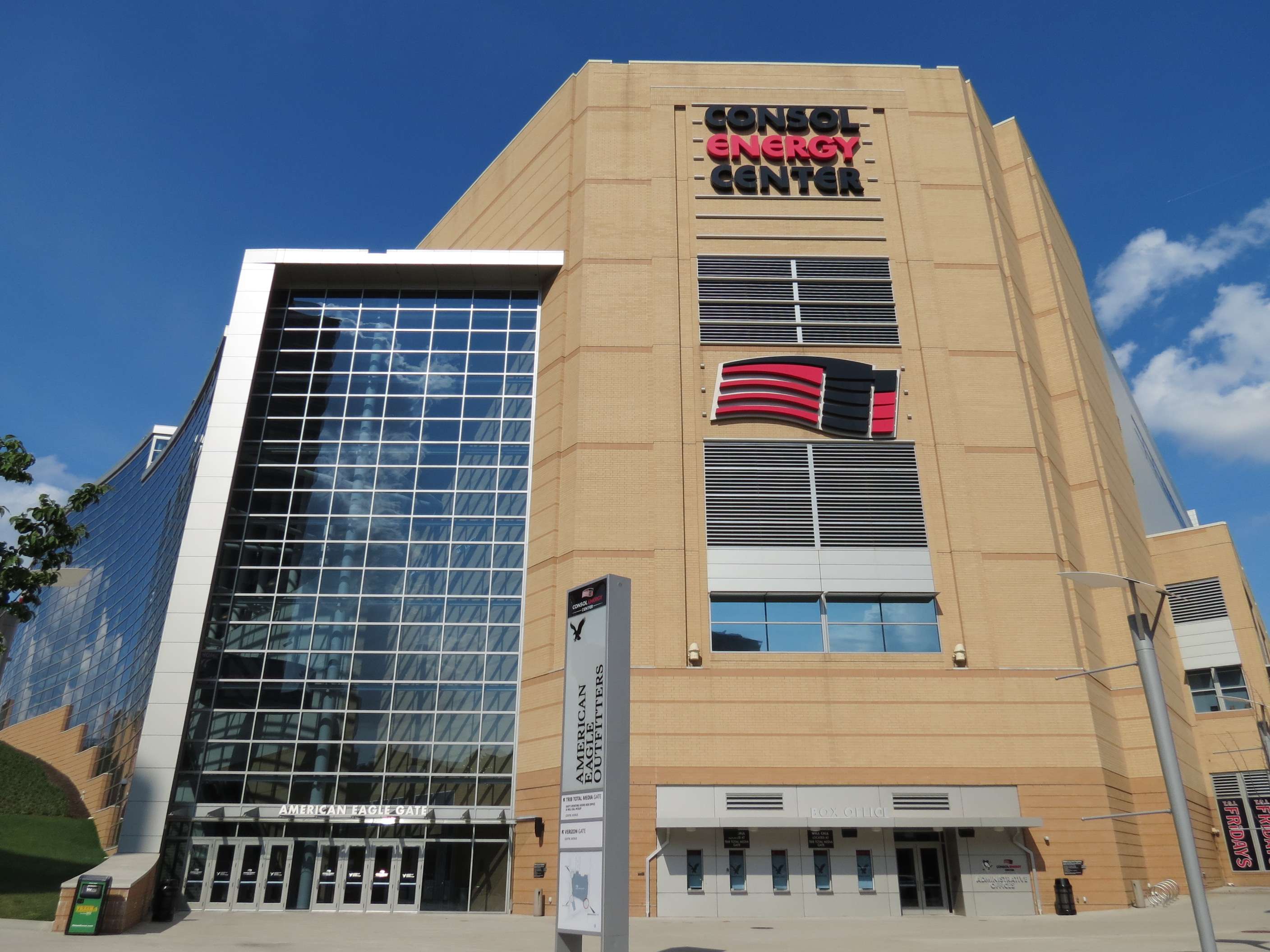
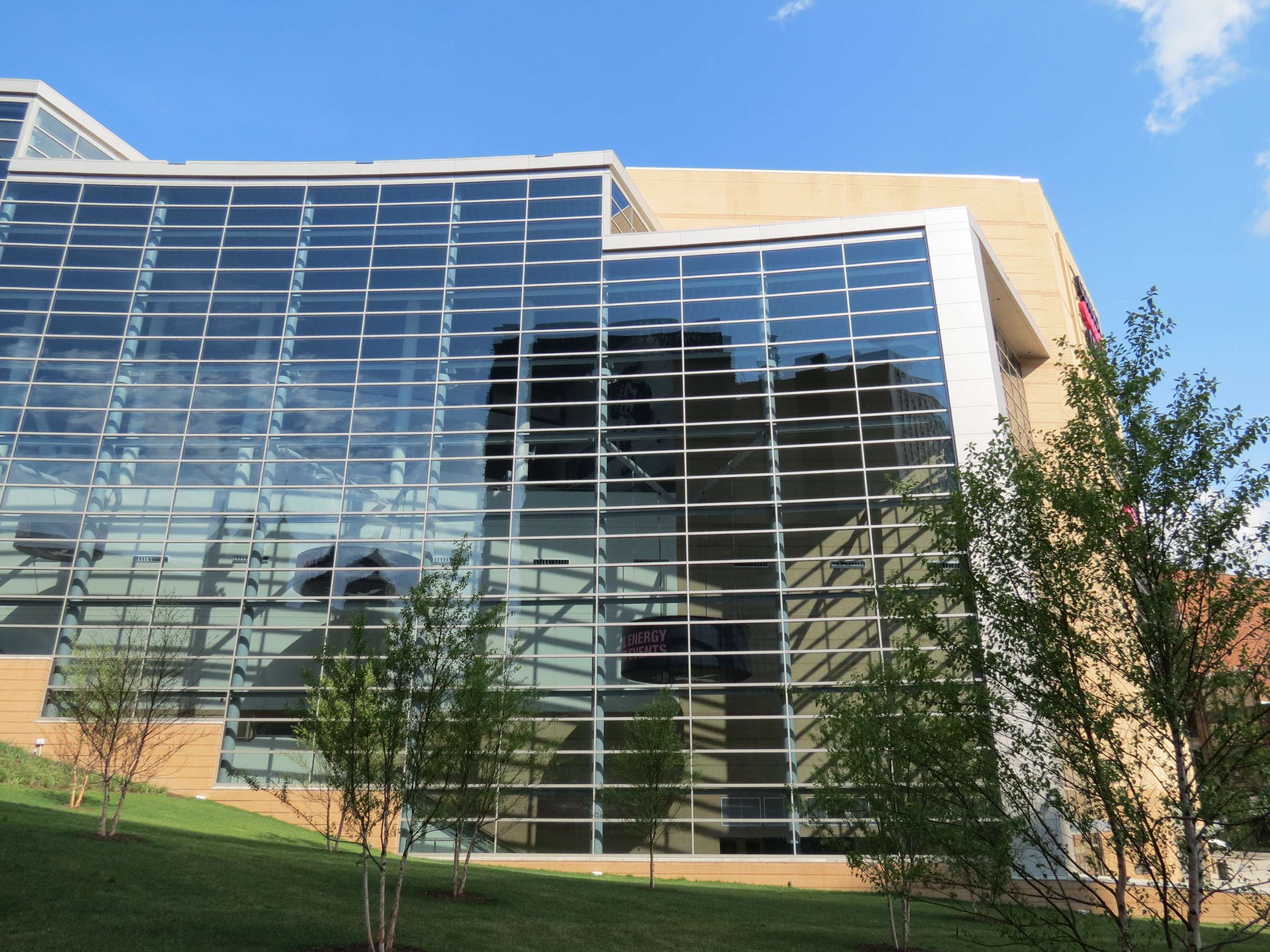
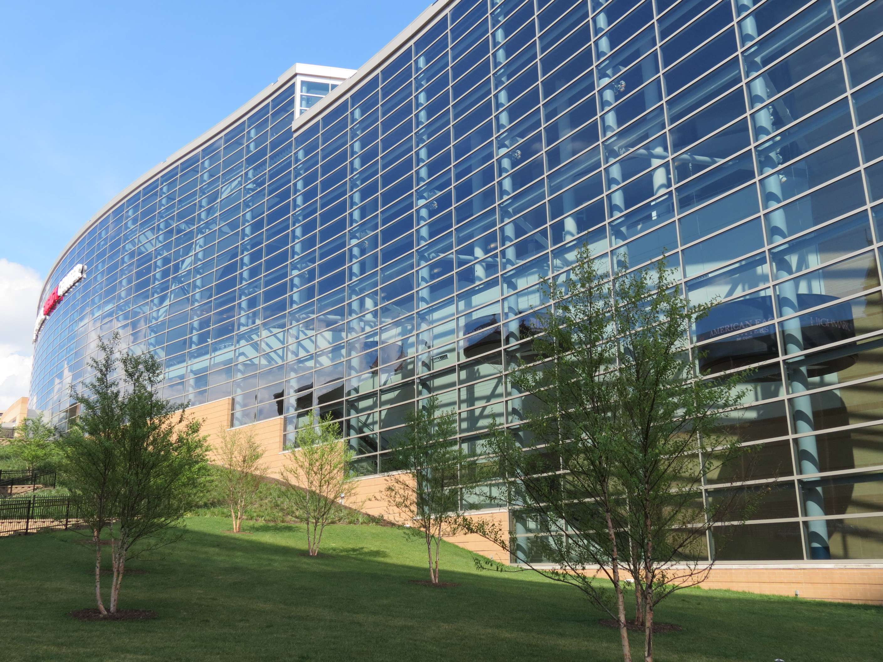
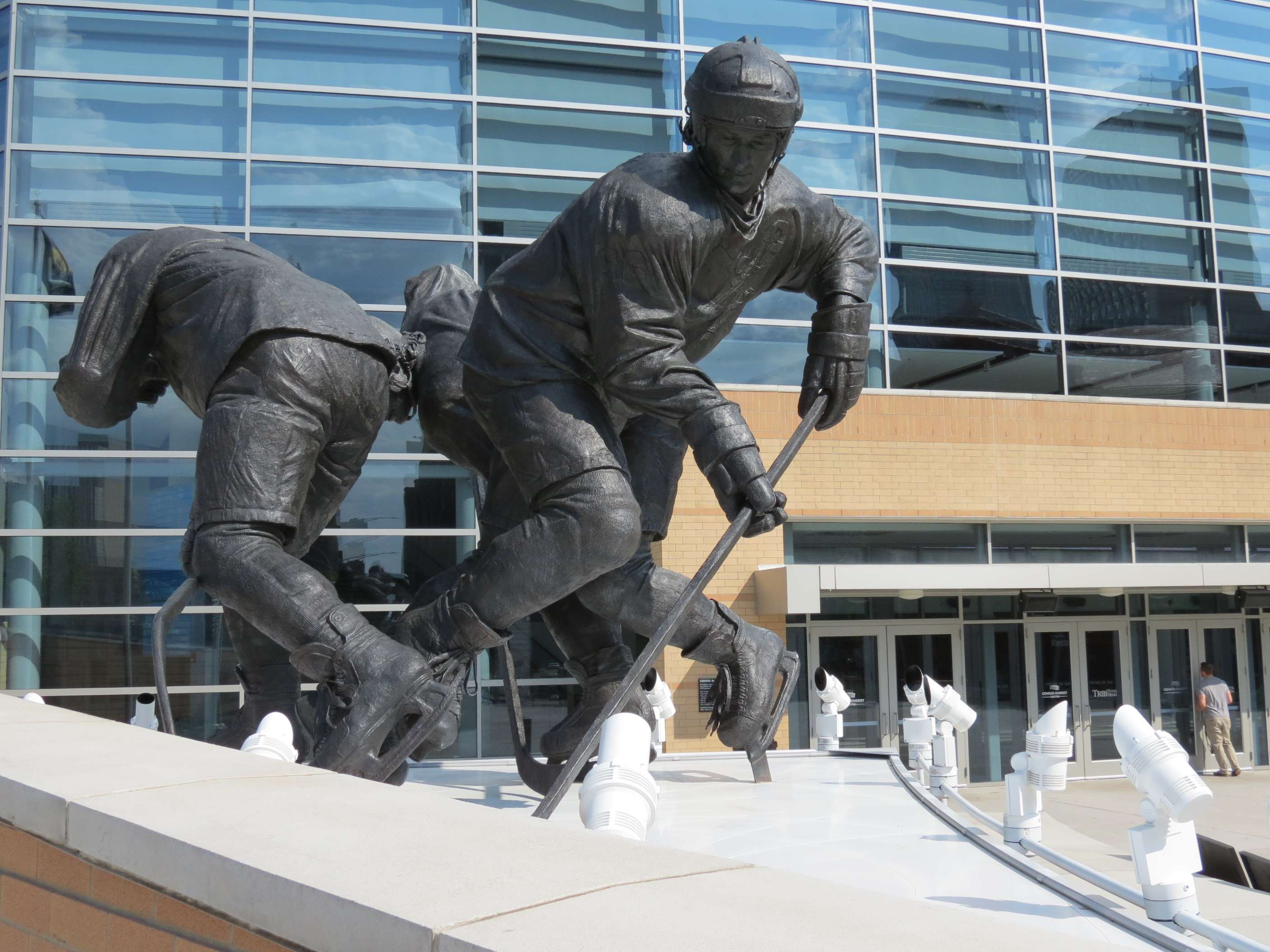
Consol Energy Center, 2010:
This arena is home to professional sports teams for ice hockey and arena football.

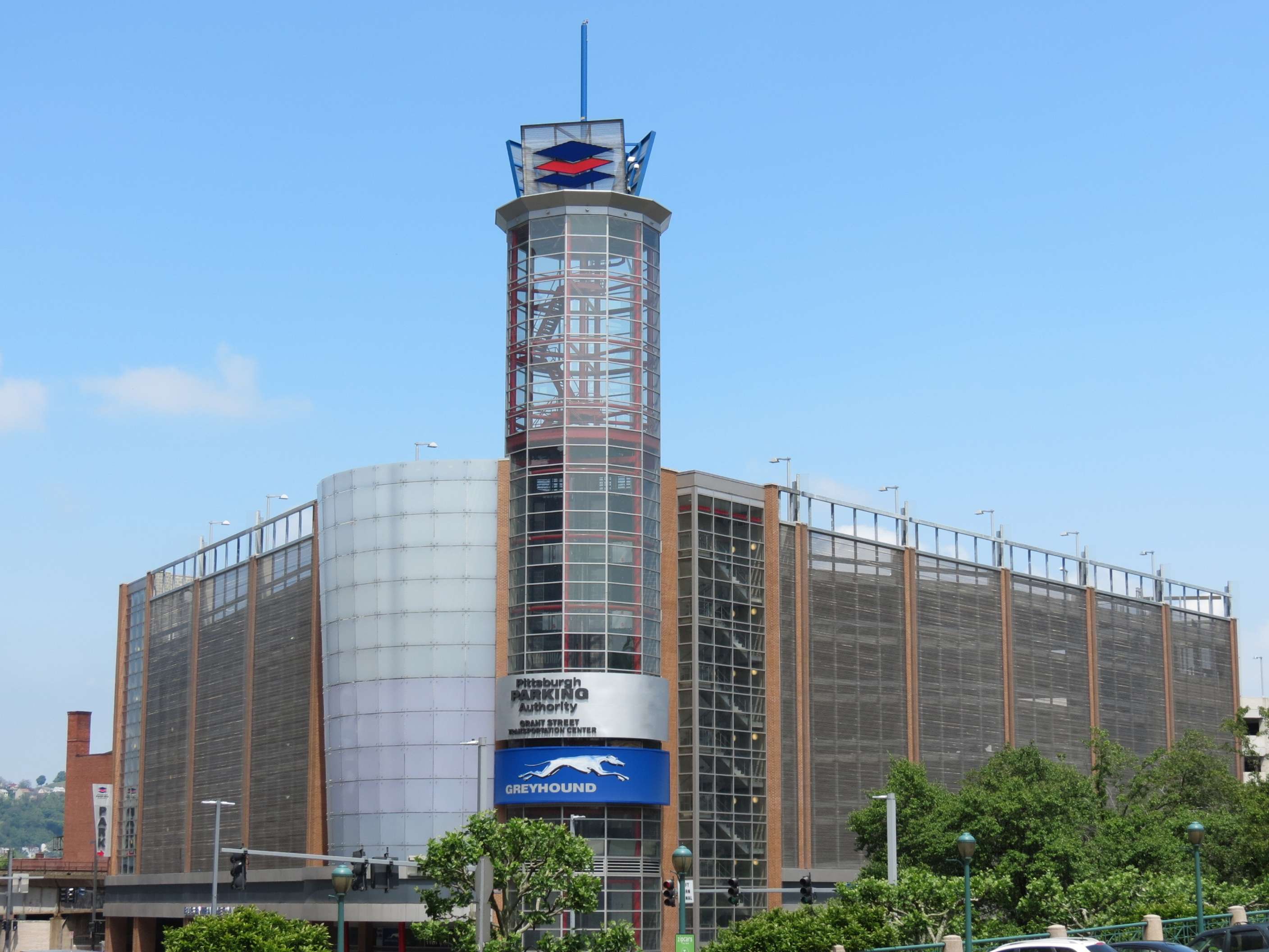
Greyhound Bus Station and Garage, 2008:
Piatt Place (built as Lazarus Department Store), 1998:
This mixed-use development of underground parking, retail, office, and condos is a 2010 renovation of a failed department store.

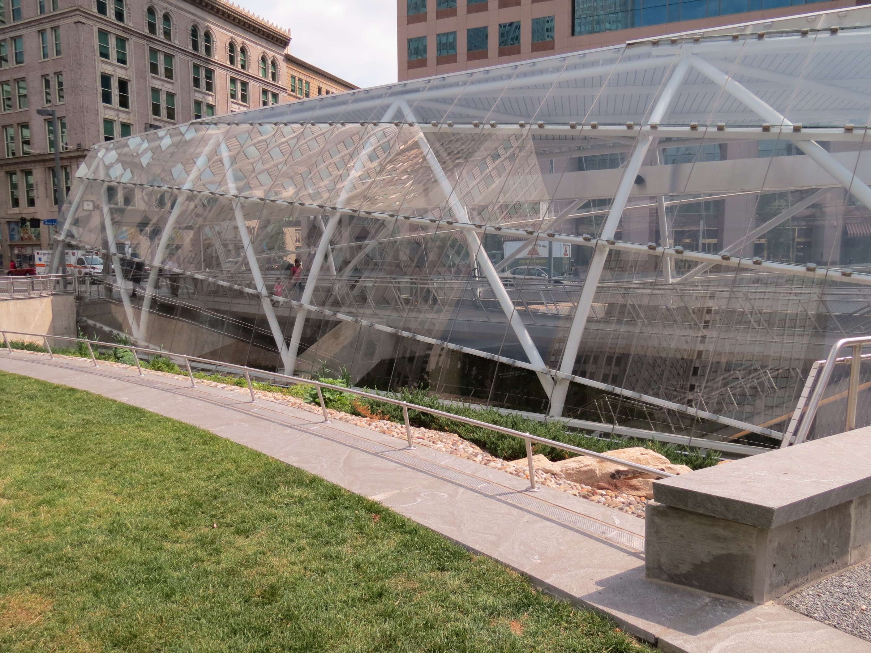
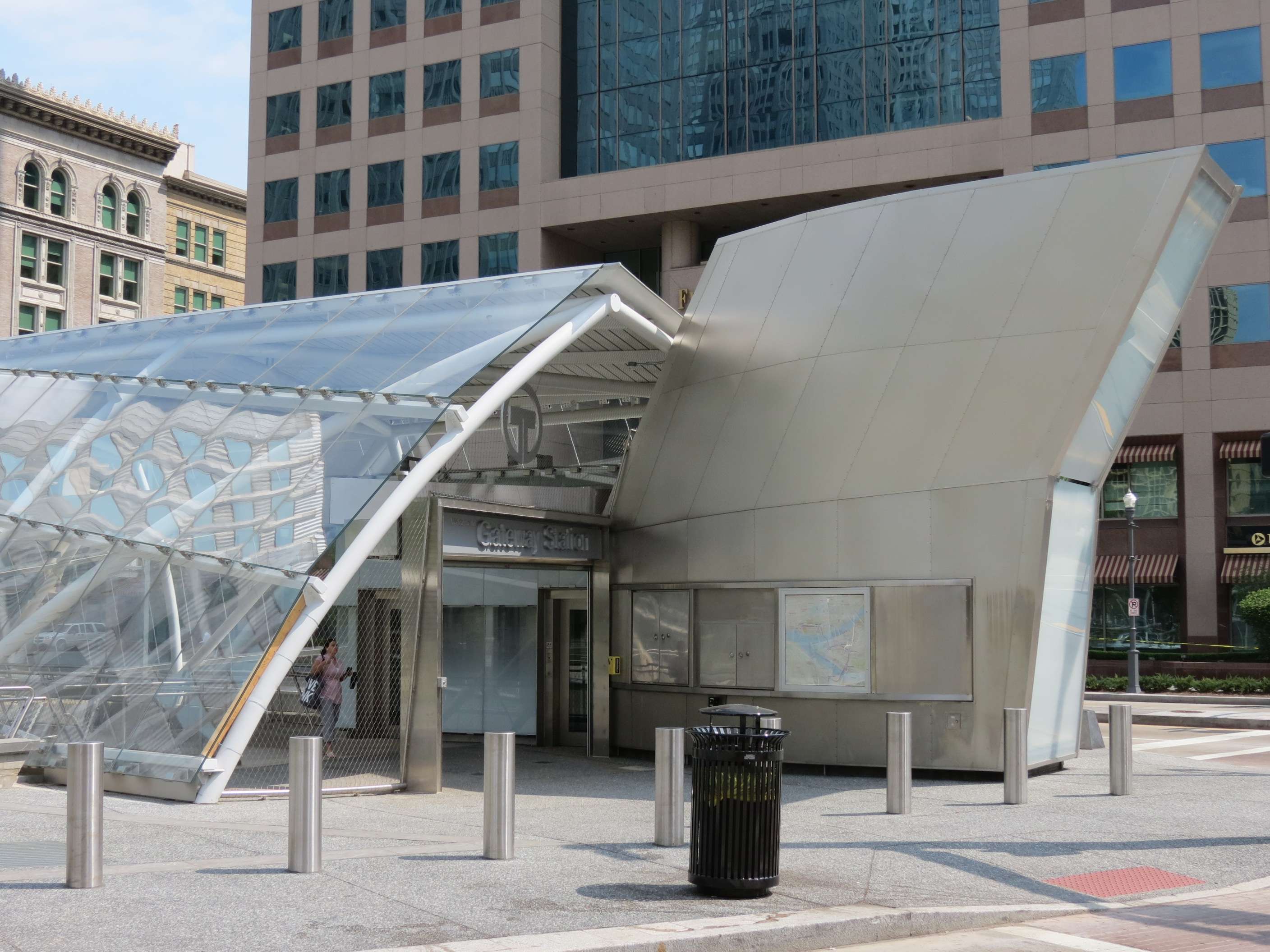
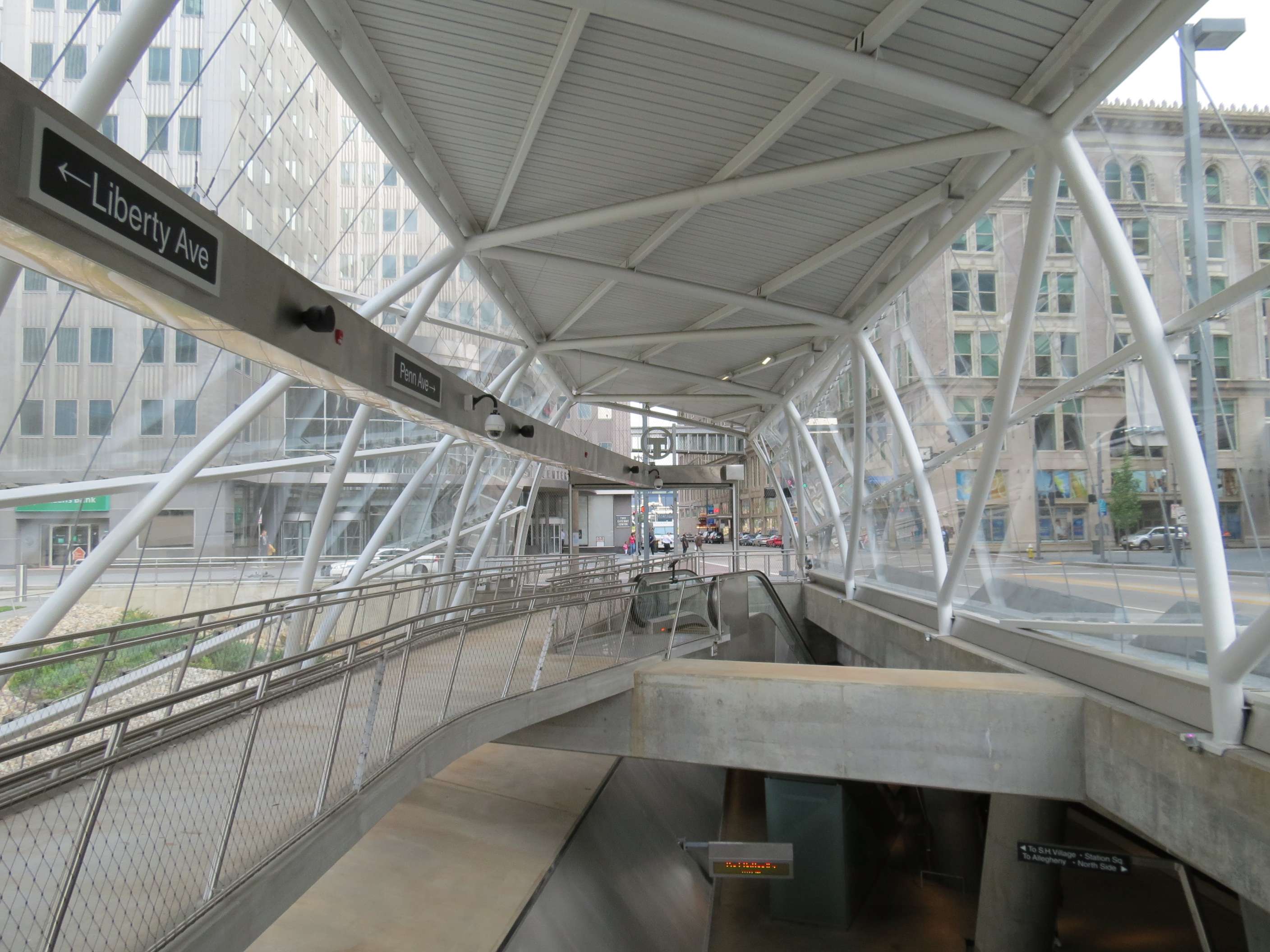
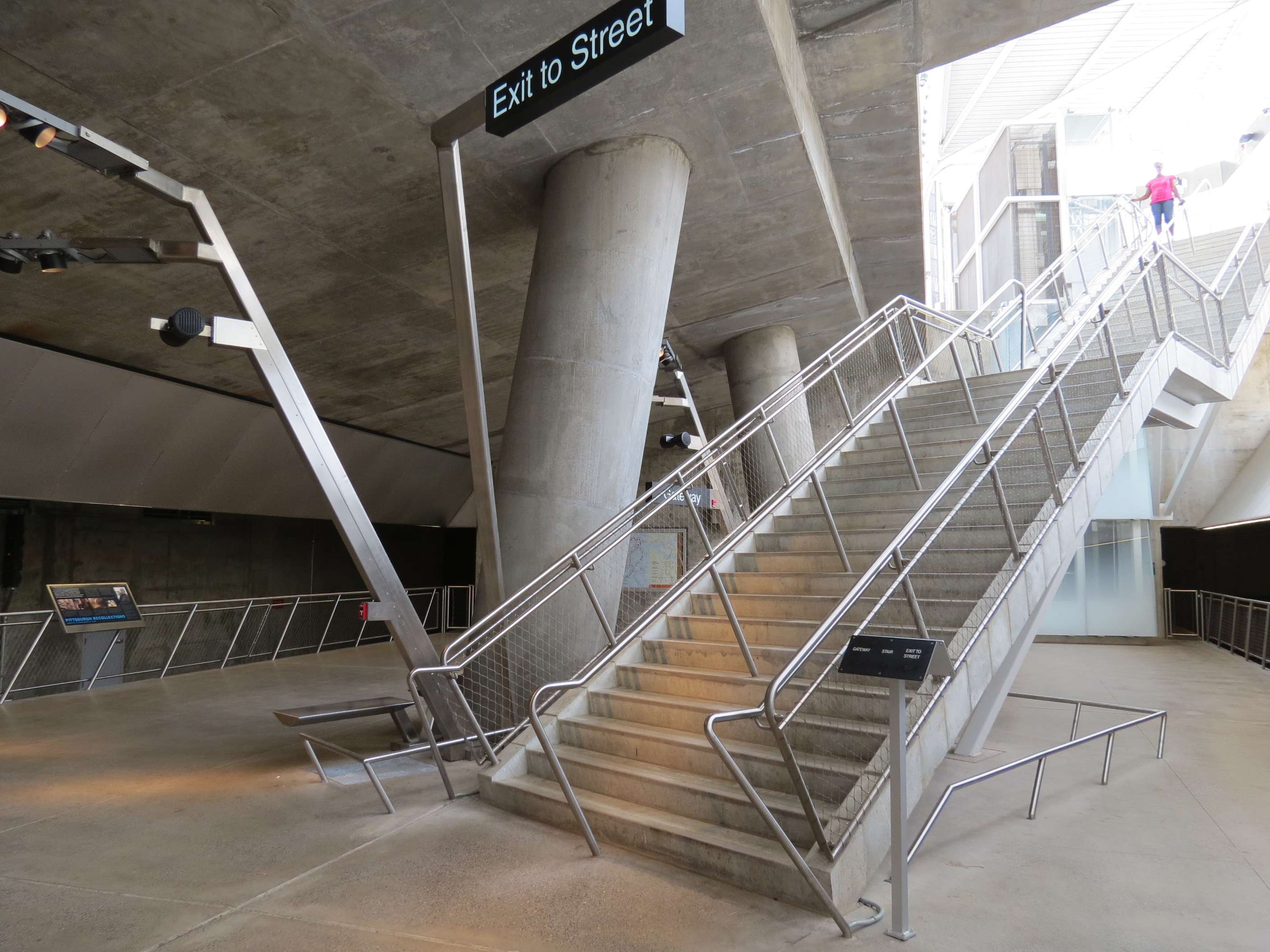
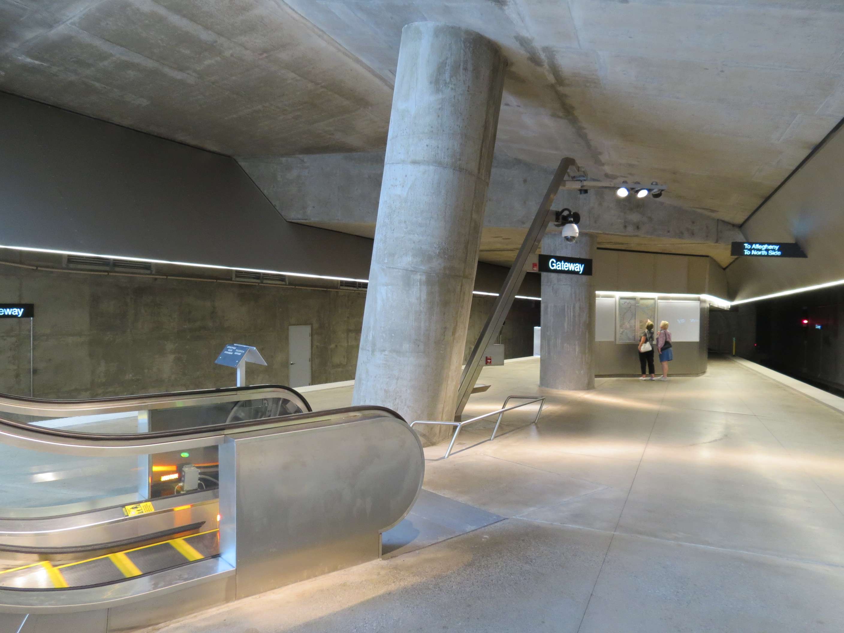
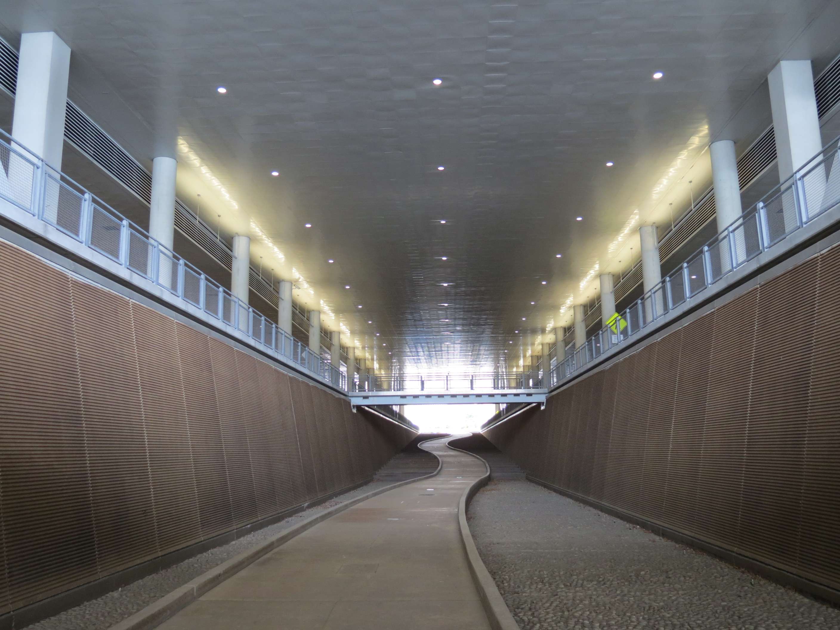
Gateway T Station, 2009:
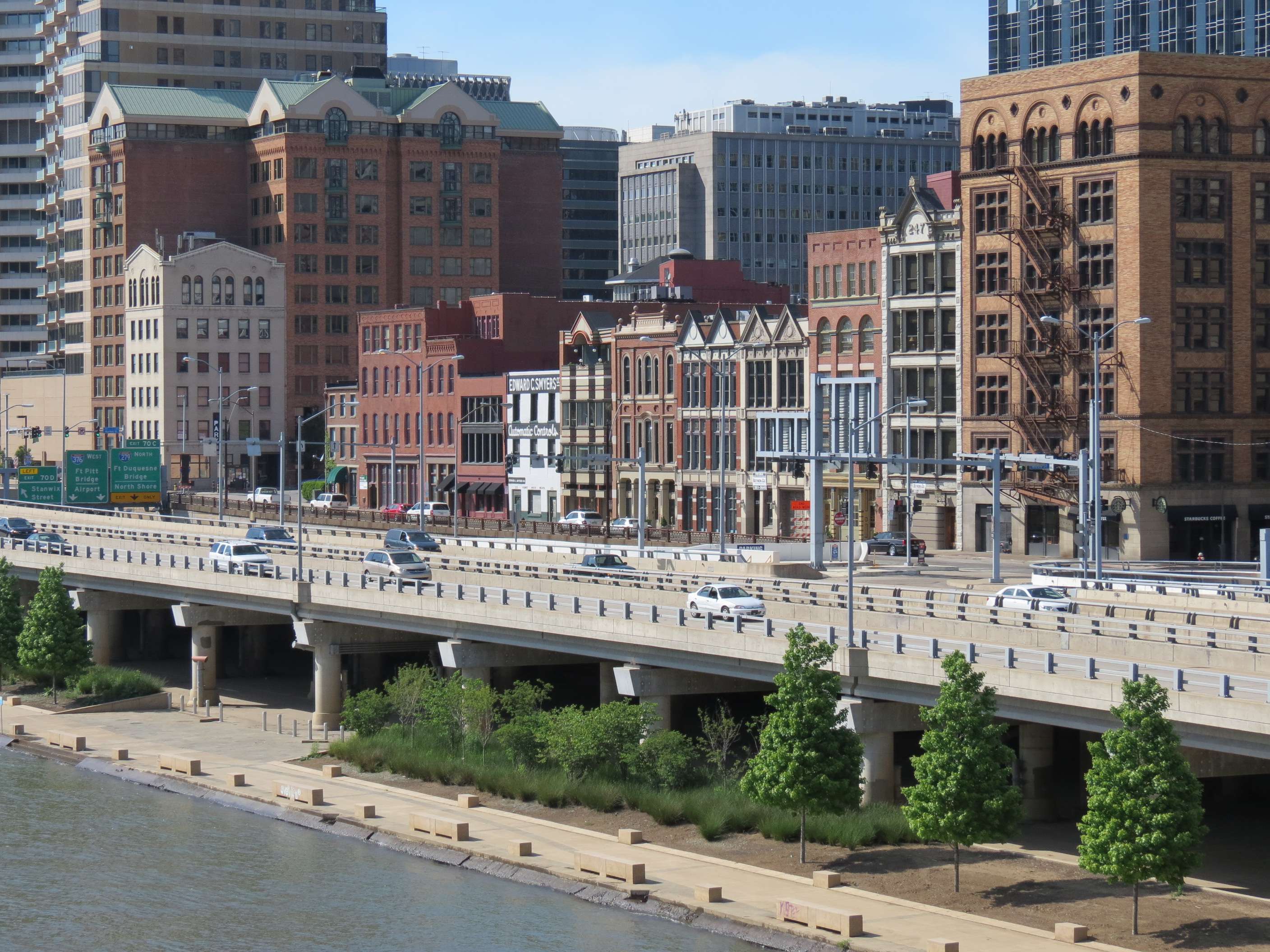
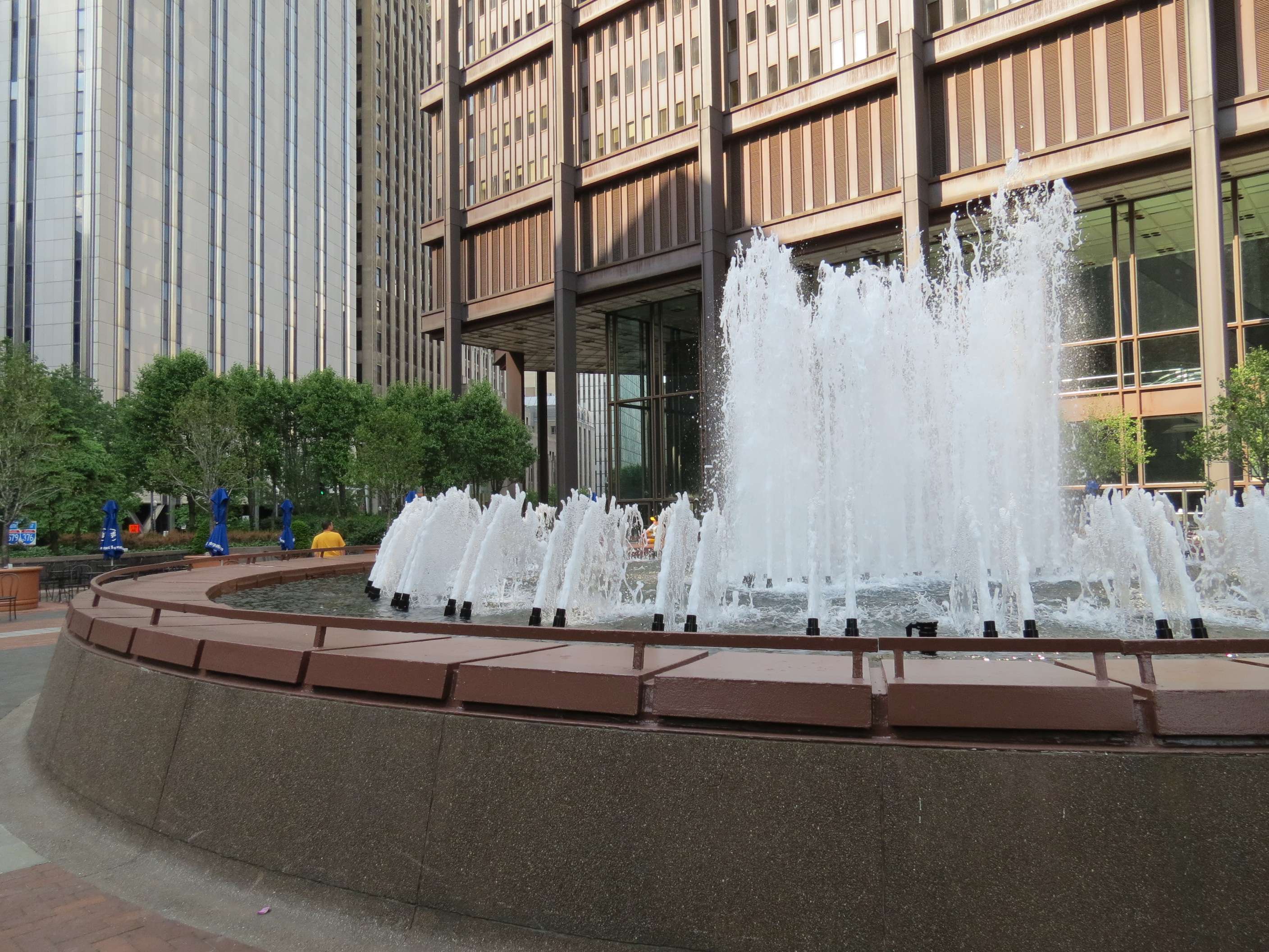
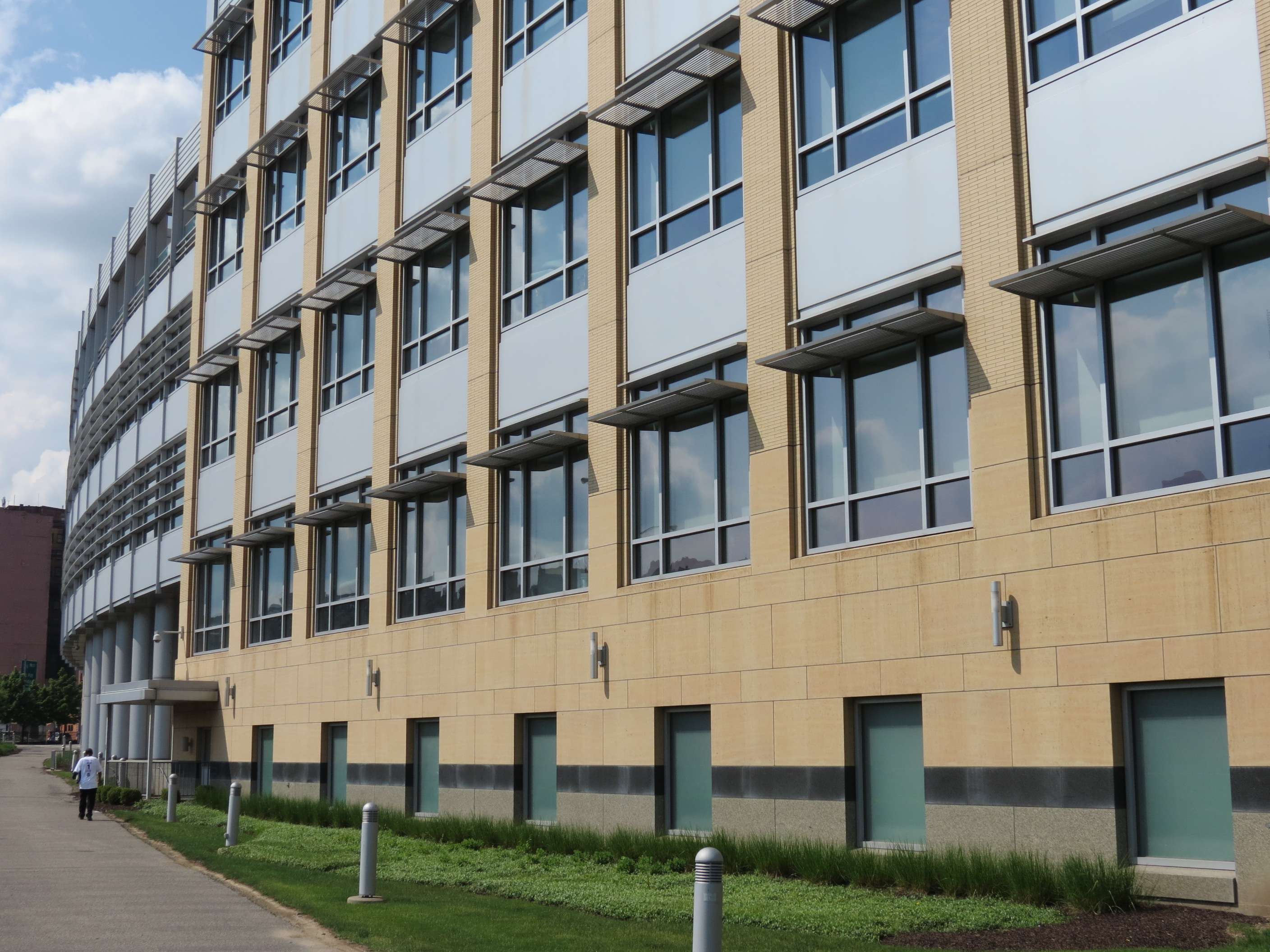
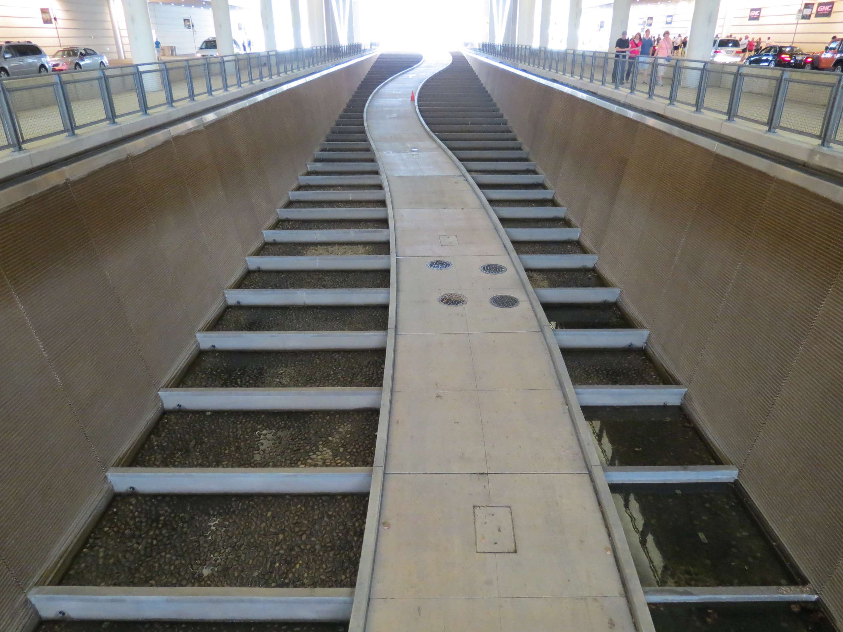
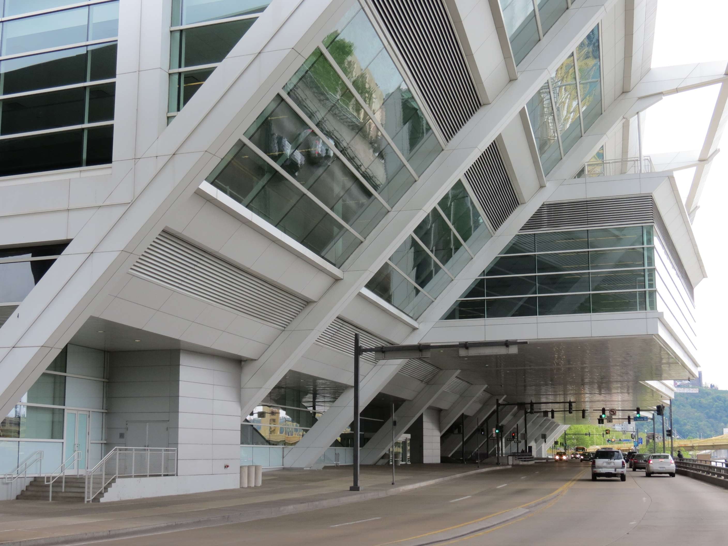
David L. Lawrence Convention Center, 2003:
This large center, designed by Rafael Vinoly, sits on the shore of the Allegheny River and replaced an older one finished in 1981. The building forms a bridge over Tenth Street, which is divided for this block by a sloping stepped water feature with a path running through it (it was turned off when I visited).


All photographs taken in May 2012 by geomorph.
See my other Pittsburgh threads:
Downtown - Historic Era :
http://forum.skyscraperpage.com/showthread.php?t=203104
Oakland - Part 1 :
http://forum.skyscraperpage.com/show...01#post5951301
Oakland - Part 2 :
http://forum.skyscraperpage.com/showthread.php?t=203218
North Shore :
http://forum.skyscraperpage.com/showthread.php?t=201890


 Hybrid Mode