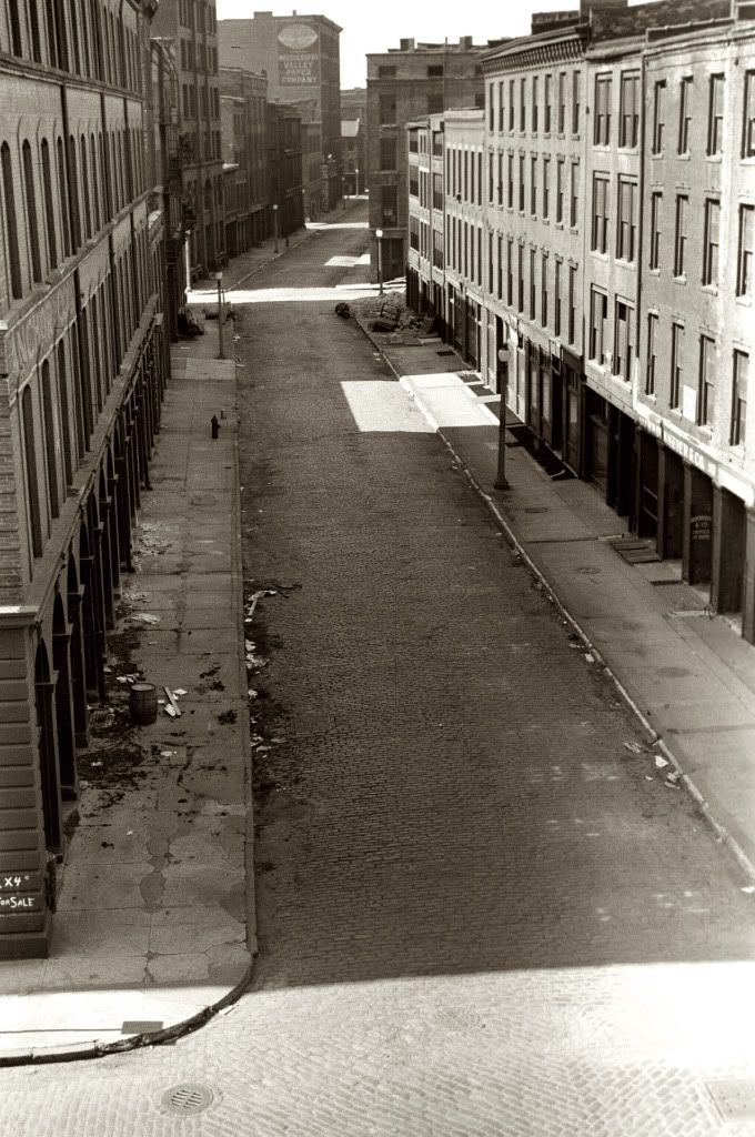
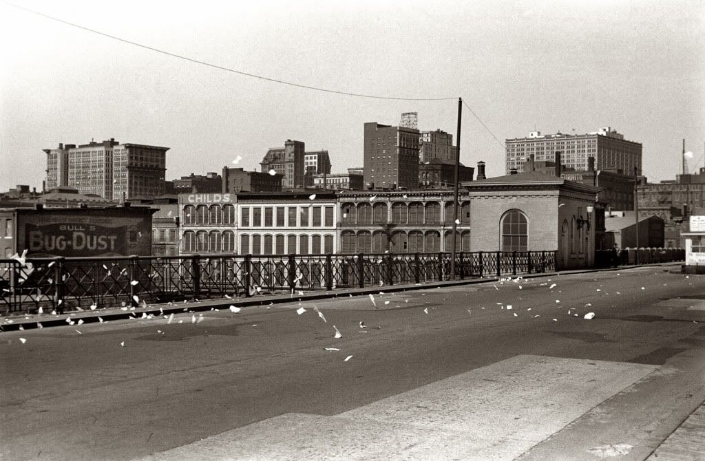
This thread is about st.
louis antebellum riverfront - bounded roughly by the eads bridge on the north, poplar street bridge on the south, 4th street on the west, and the mississippi river on the east - prior to the construction the jefferson national expansion memorial. 40 square blocks of heavy antebellum and victorian urbanity were demolished for the creation of the memorial. I'll add to this.
 http://www.shorpy.com/files/images/8..._0.preview.jpg
 http://www.shorpy.com/files/images/8..._0.preview.jpg
 http://www.usgennet.org/usa/mo/county/stlouis/levee.JPG


 Threaded Mode