Corner Brook
The city is situated in a bowl. The city's residential neighbourhoods crawl their way up the steep hillsides, some streets are incredibly steep and seemingly go straight up. The hills are continuous on 3 sides but are interrupted by the Bay of Islands which separates the city from the even steeper 4th side across the bay. It's dramatic, especially in the fall.

Photo Credit: Keith Nicol
This next photo puts it in perspective, I'm staning on the east side of downtown (Townsite) looking down toward Millbrook, the lowest point in the city (where the Esso station is), and then the street immediately inclines up the westside of the city toward Broadway and the working class neighbourhoods traditionally inhabited by millworkers and shopkeepers.
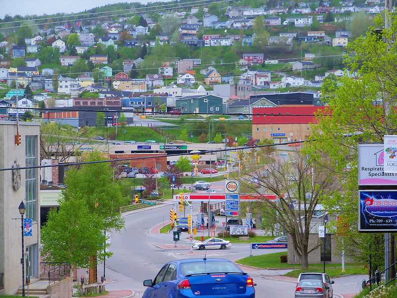 CornerBrook3
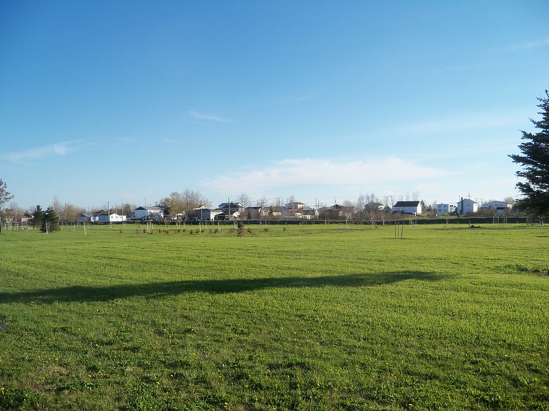
Stephenville
CornerBrook3
Stephenville
The town is built on a floodplain and incredibly flat. If it weren't for a bridge built up to avoid the flooding river, it would be possible to stand at one end of town and see the other end straight down Carolina Avenue/Main Street.
Here's the view adjacent to the brook looking west. We could be on the prairies in all honesty, and this is only 45 minutes down the highway from Corner Brook. Crazy island.
 100_2516
But we still have our ring of mountains, just further back.
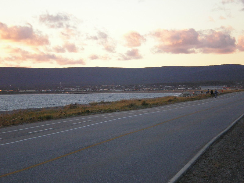 Picture 180


 Prev
Prev


 Linear Mode
