Visited Charleston, SC for the first time this past weekend.
First I visited Fort Moultrie. It was chilly and windy and I didn't want to have to wait to take a water taxi to Fort Sumter so I went here instead.
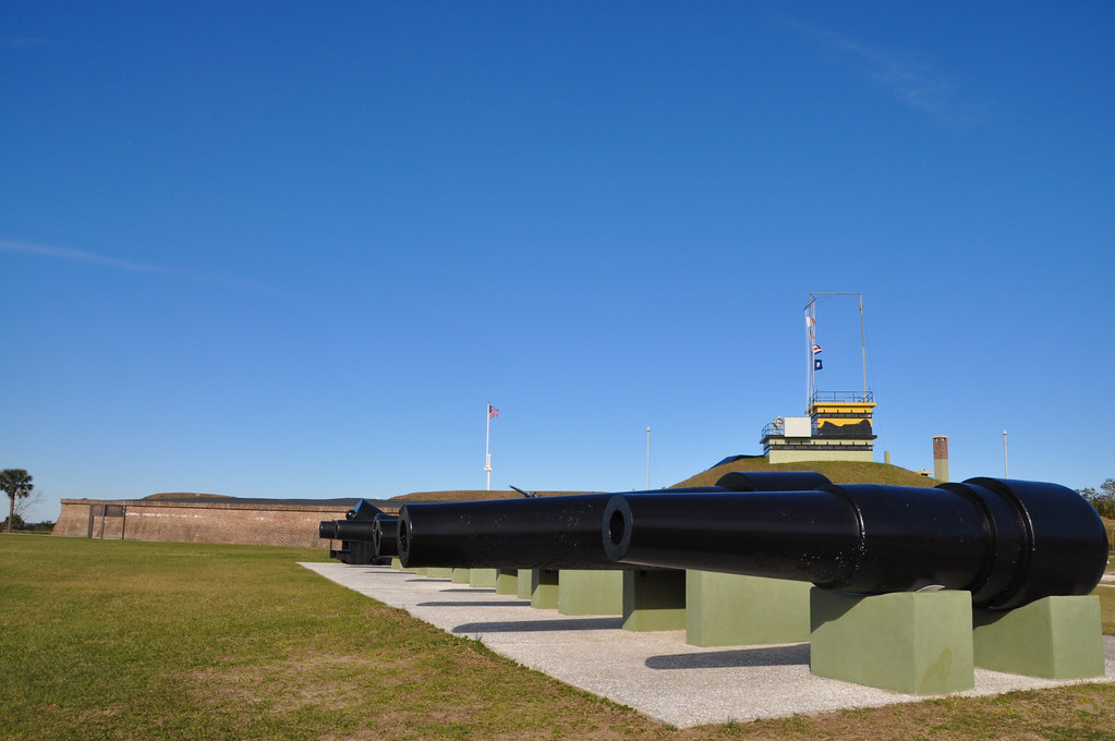
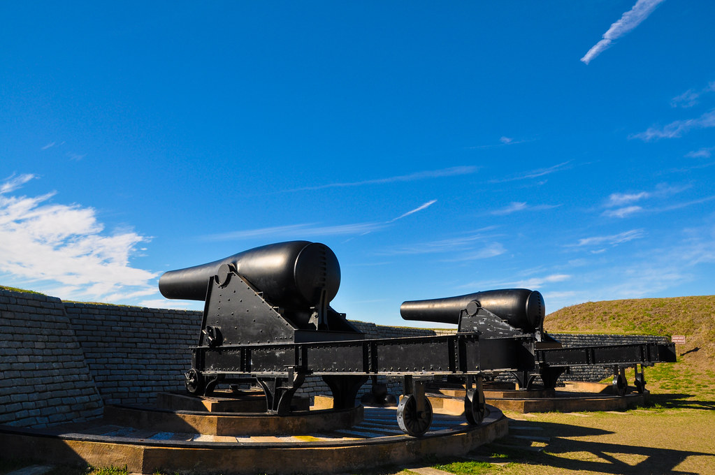
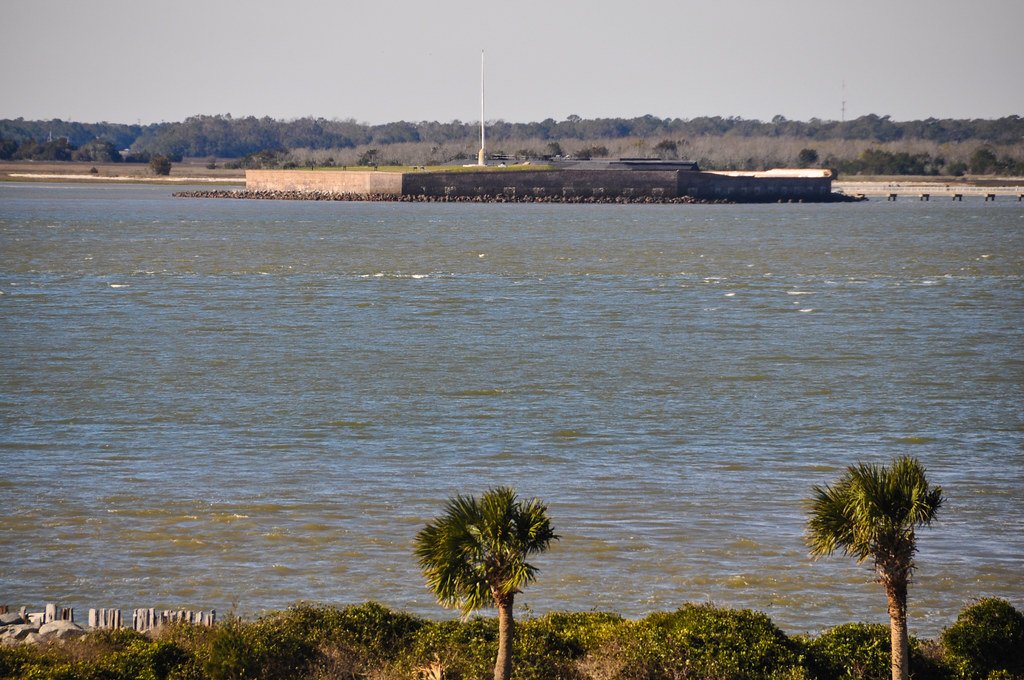
Fort Moultrie was one of the forts that fired on the federal troops in Fort Sumter that started the US civil war in 1861. The fort remained in use as coastal defense during the Spanish-American war and World War 1.
Fort Sumter on the left, Charleston on the right.
Charleston across the harbor, 4 miles (6.4km) away:
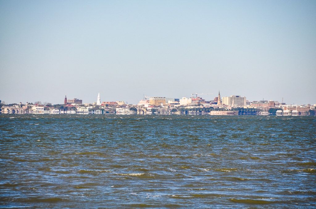
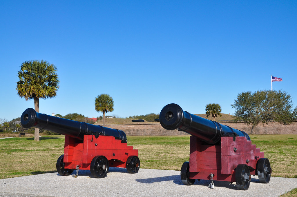
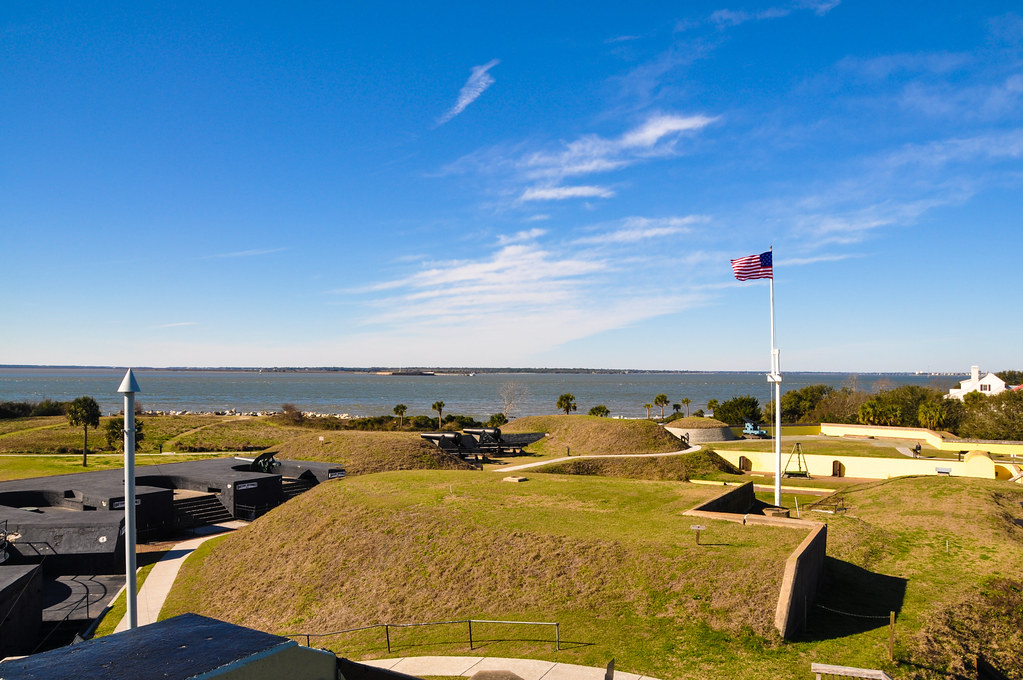
Fort Moultrie is on Sullivan's Island:
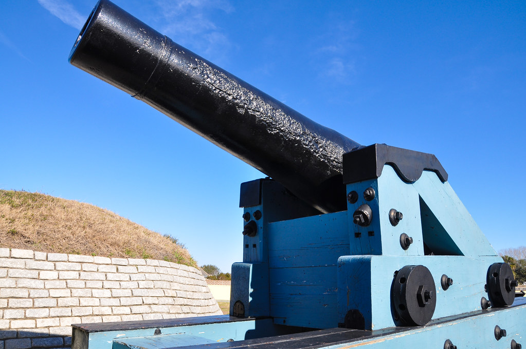
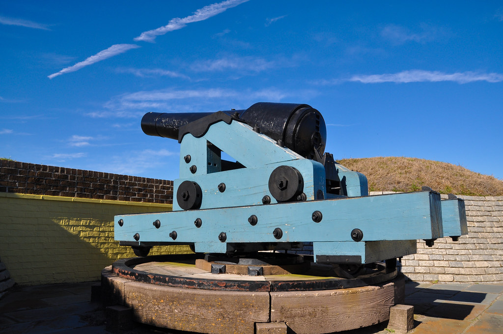
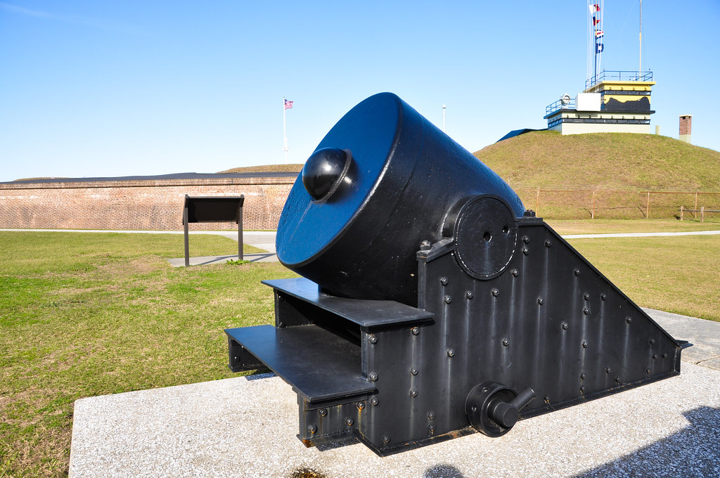
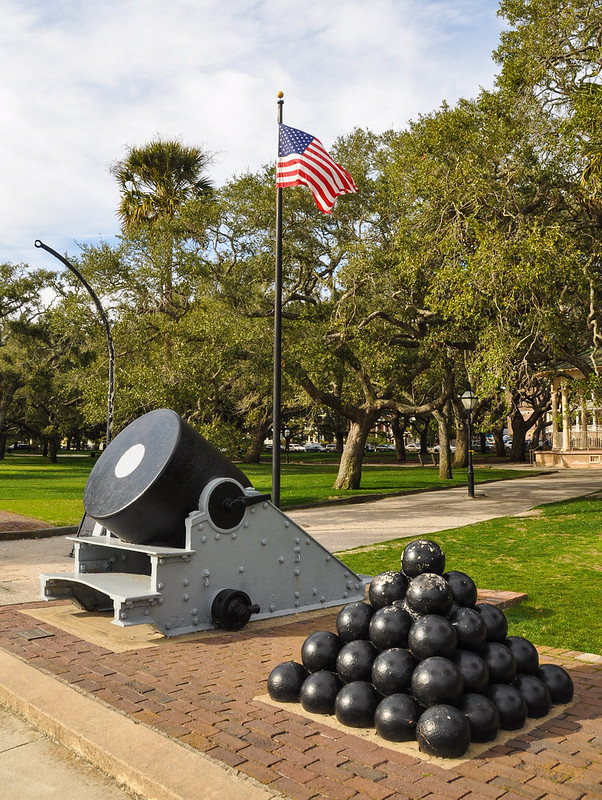
These are some of the oldest cannon in the fort, pre-civil war.
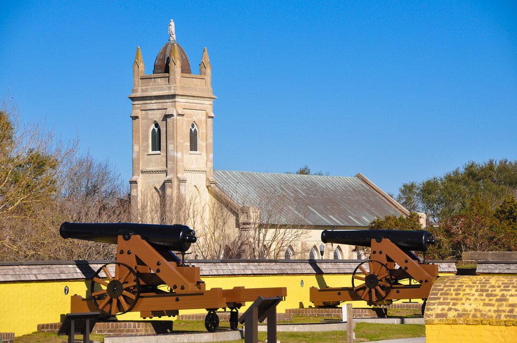
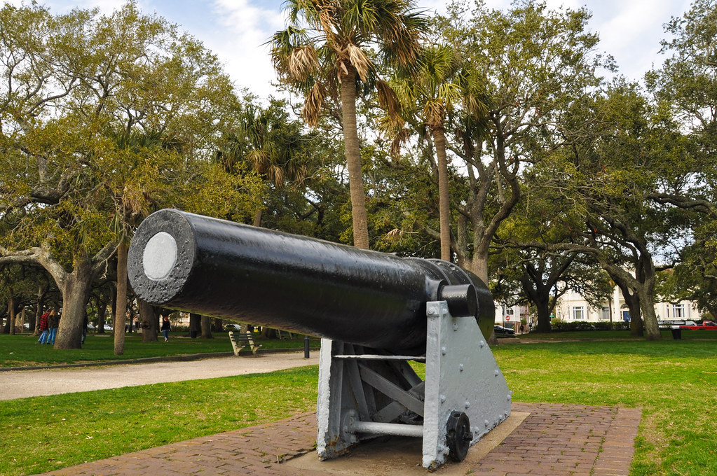
I think these are Spanish-American war era cannons.
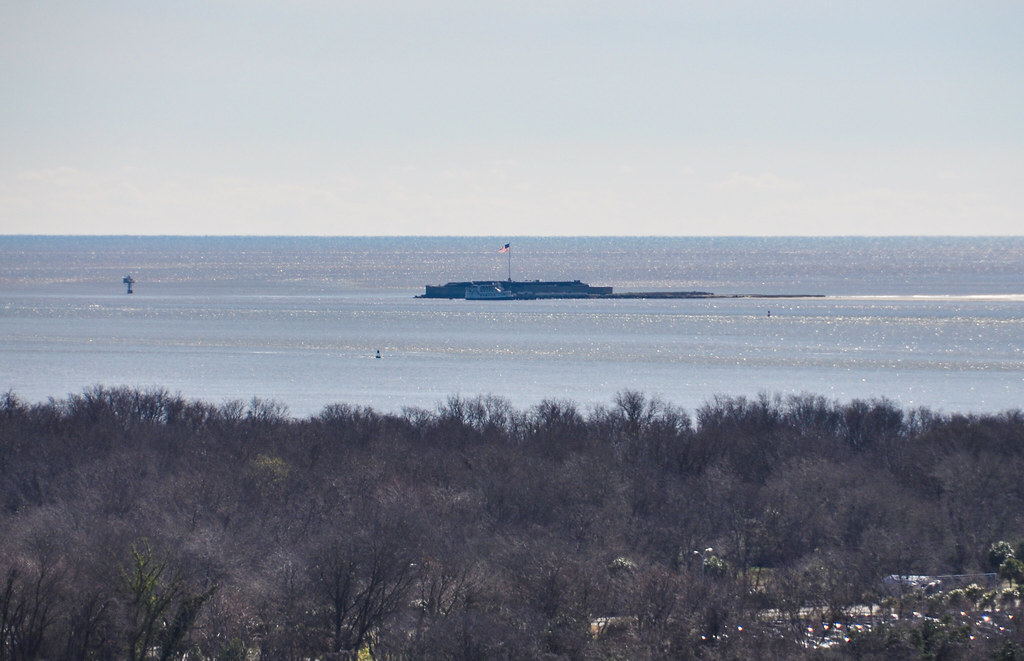
Looking west across the harbor towards Fort Sumter:
Fort Sumter. The walls of the fort were much higher pre-civil war but were mostly reduced to rubble by the bombardment first by confederate forces, then later by federal troops in an attemt to retake the fort.
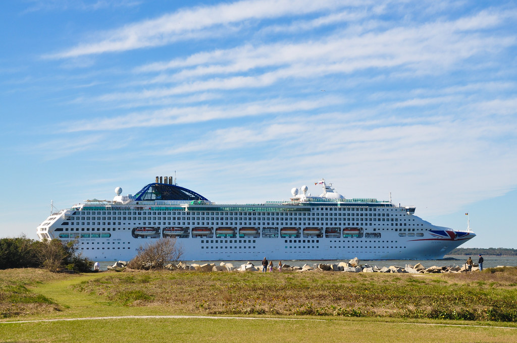
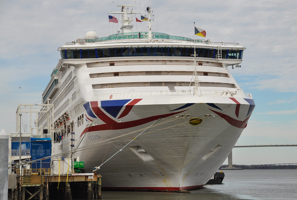
MV Oceana cruise ship entering Charleston harbor with Fort Sumter in the background.
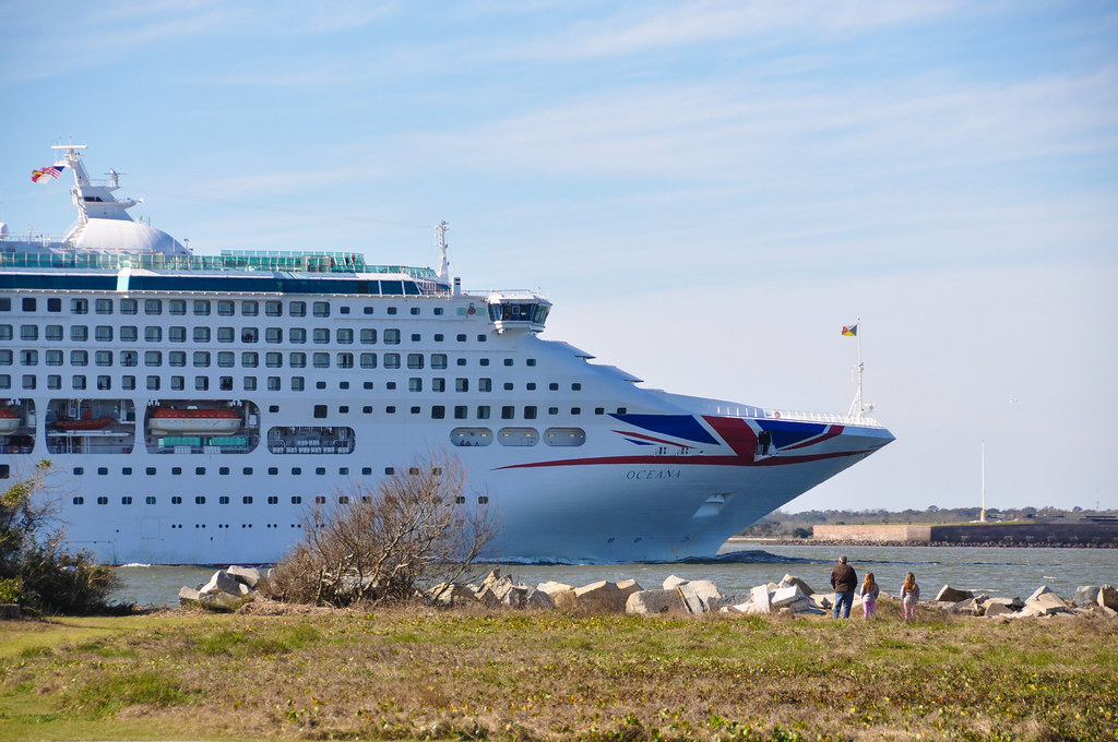
MV Oceana of the British P&O Cruise line making a stop in Charleston. In addition to occasional stops by cruise ships, Charleston is also the home port of a Carnival cruise ship that goes to the Bahamas.
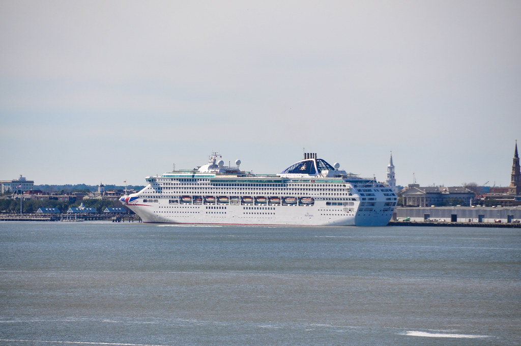
The MV Oceana again, this time docked in Charleston and seen from the Arthur Ravenel Jr. Bridge pedestrian walkway.
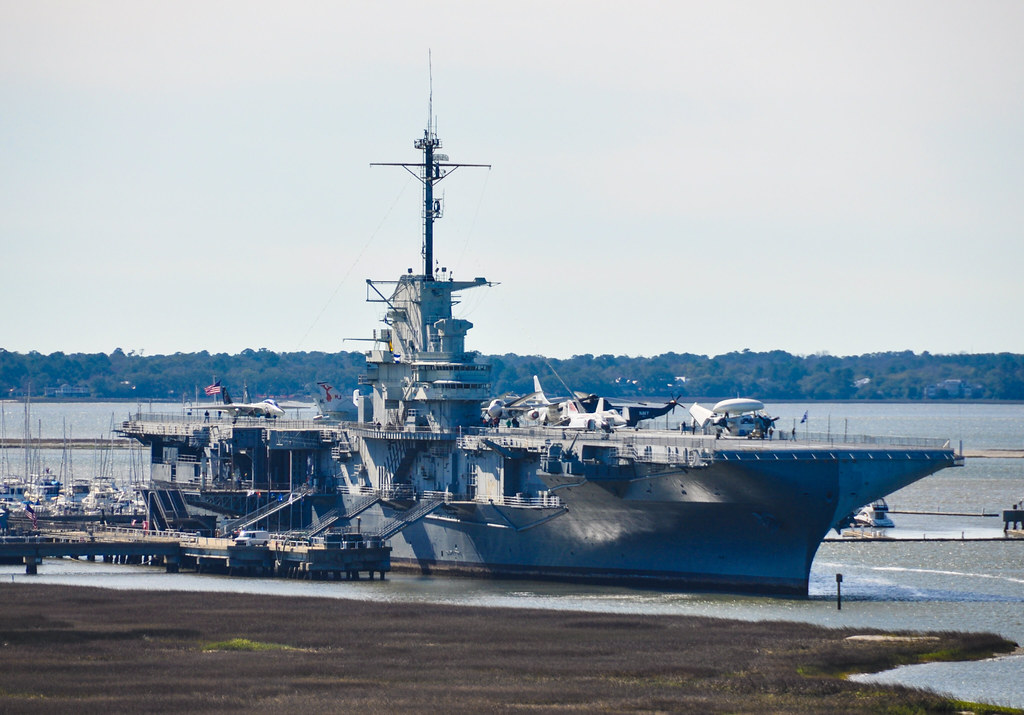
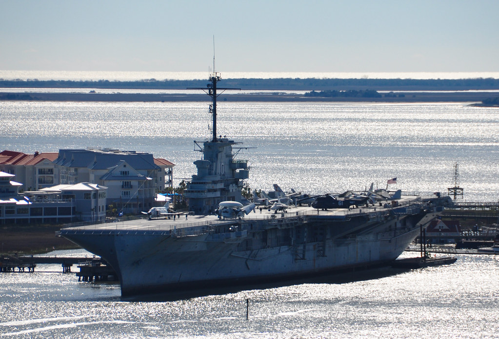
The USS Yorktown museum ship permanently docked at Patriots Point.
I wanted to walk the bridge earlier in the day, when the sun was just coming up, so there would be better lighting. Instead I had spent too much time at Fort Moultrie and getting stuck in a 15k foot race on SUllivan's Island that by time time I walked the bridge it was already 11:30 am and since the bridge is north of downtown Charleston, the southern sun did not make for great photos looking south-west.
The Ravenel Bridge was completed in 2005 and spans the Cooper River, linking Charleston and Mount Pleasant. Wikipedia tells me it is the third longest cable-stayed bridge in the Western hemisphere.
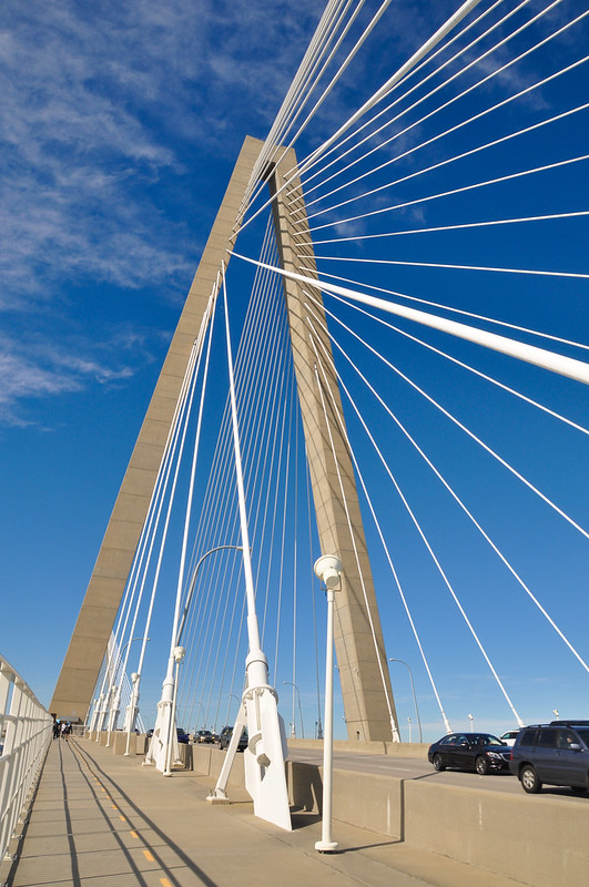
It's great they included a pedestrian and bicycle path on the bridge. A windy, chilly January day (a high of 52f, 11c) and I saw a couple hundred cyclists and pedestrians.
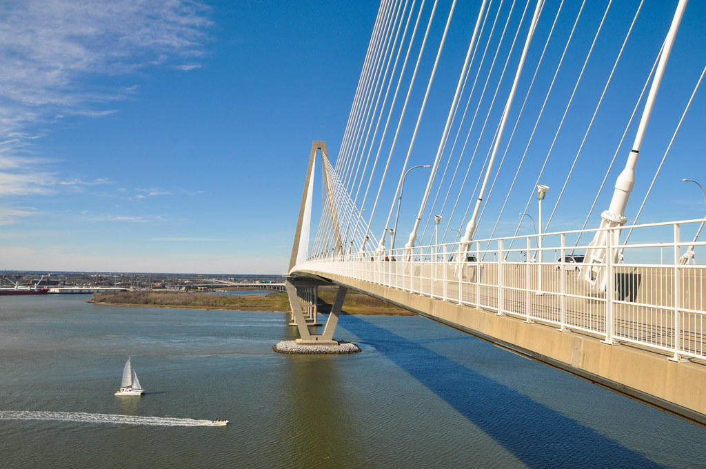
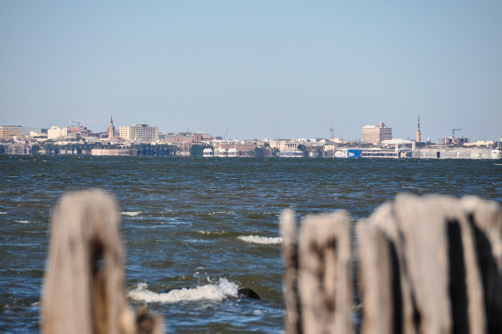
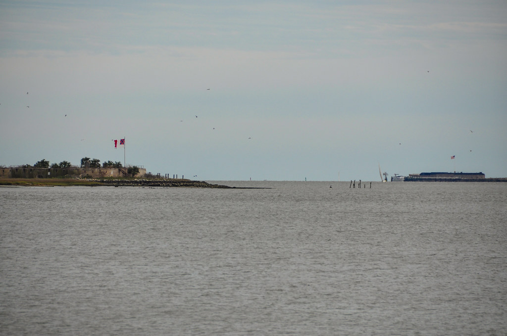
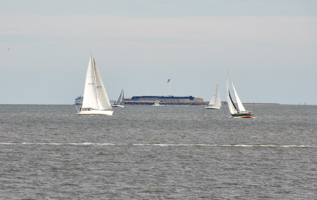
Fort Sumter, around 4 miles / 6.4 km away:
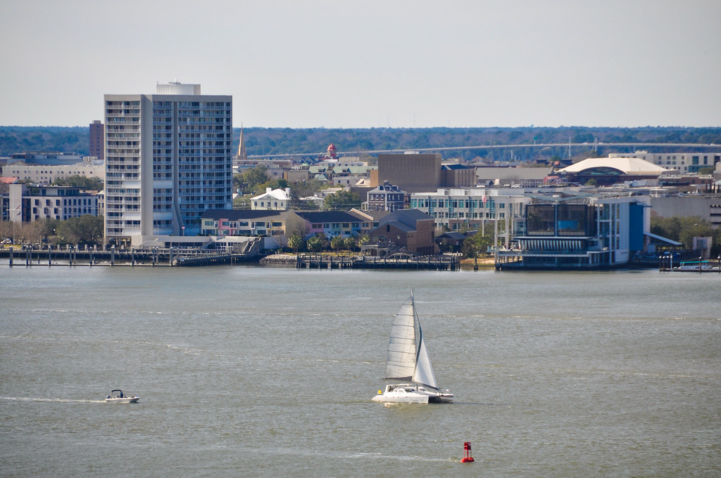
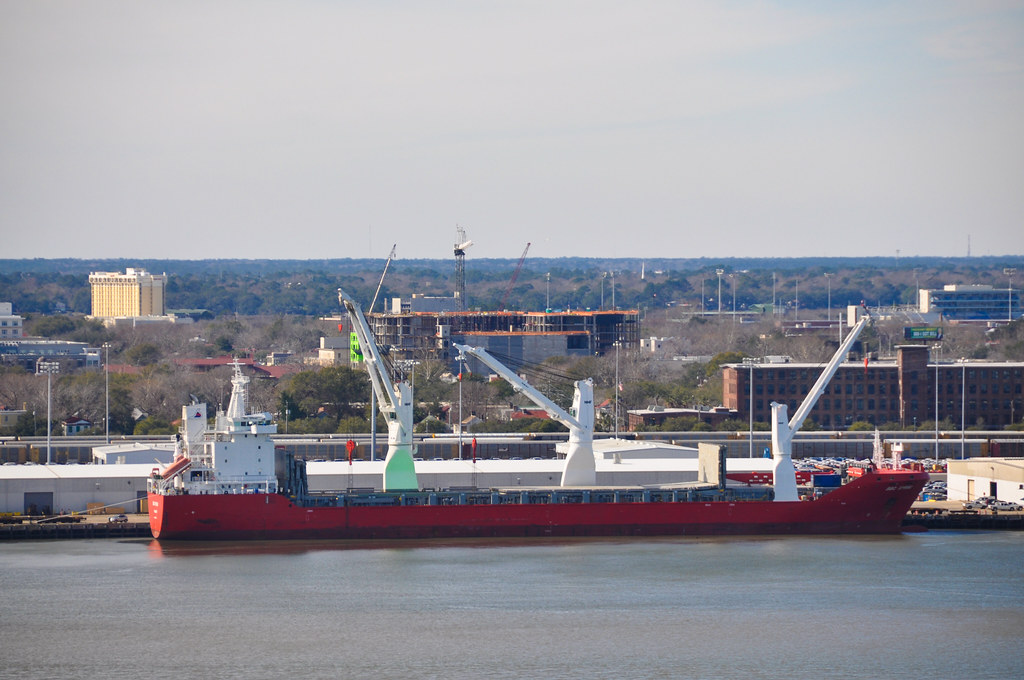
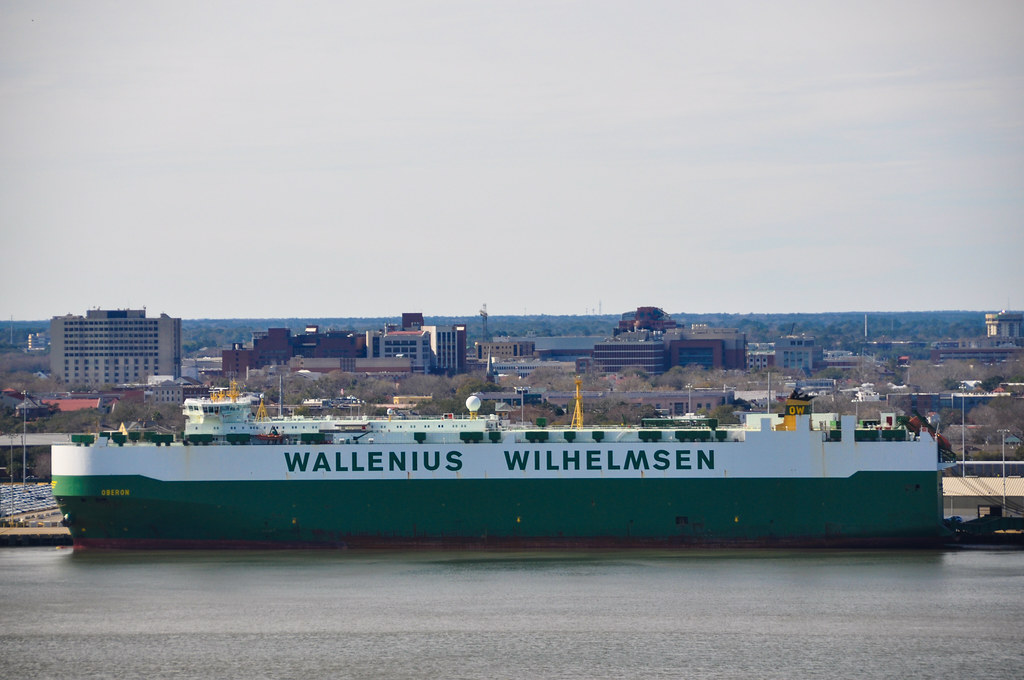
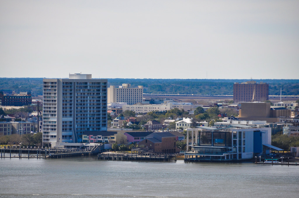
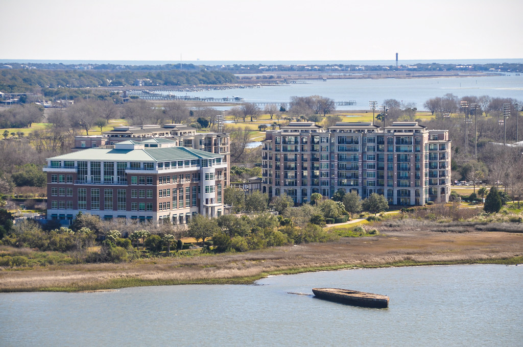
Some buildings on the eastern (Mount Pleasant) side of the harbor.
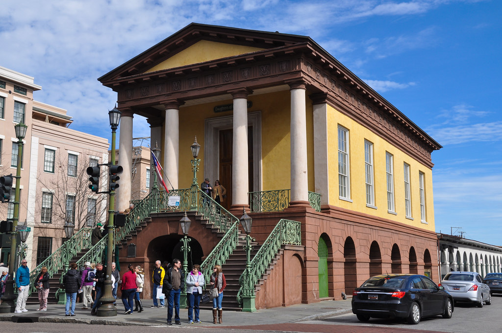
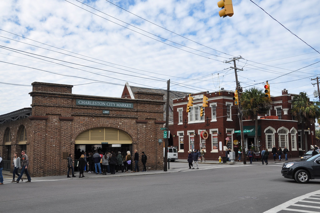
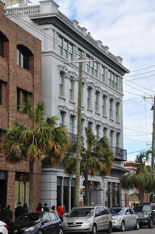
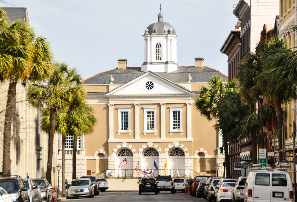
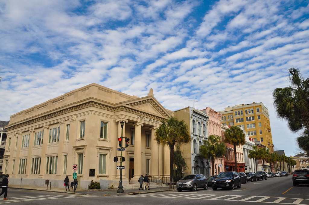
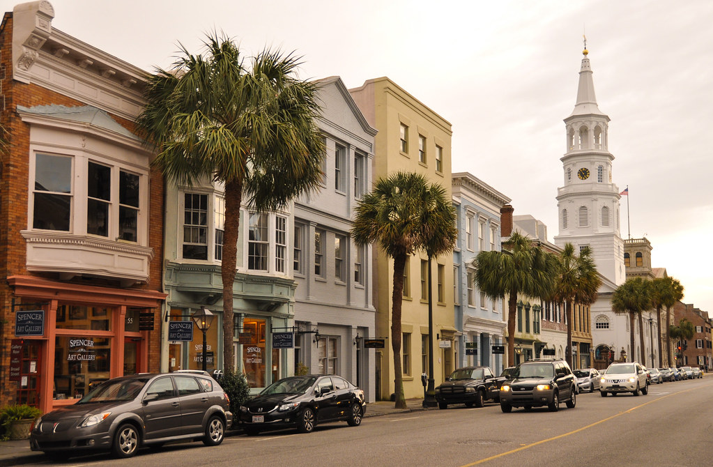
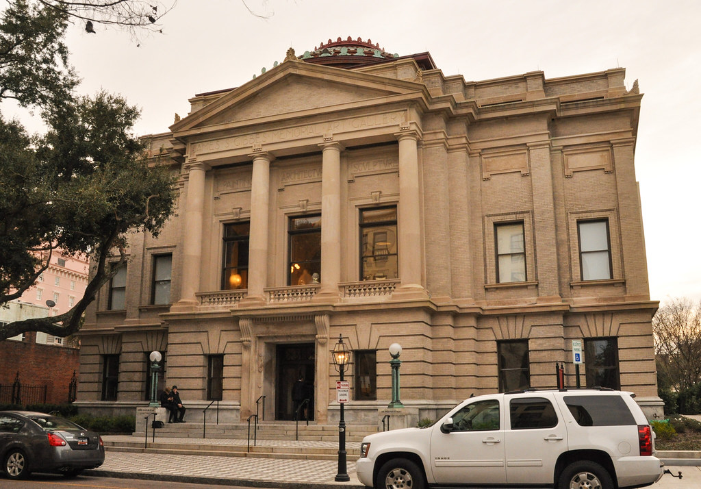
City Market at the intersection of Market and Meeting streets. Lots of restaurants around here. I stayed at a hotel a couple blocks away.
The other end of the market:
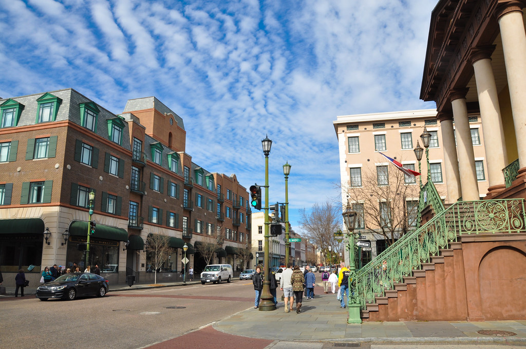
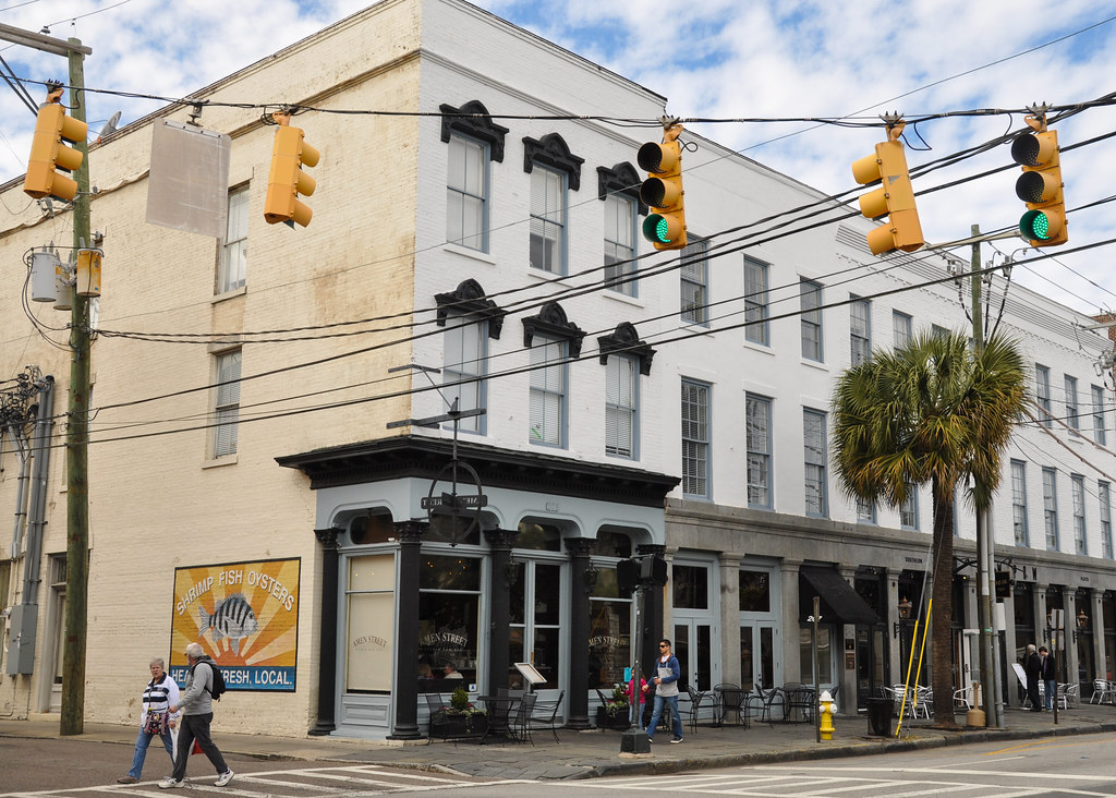
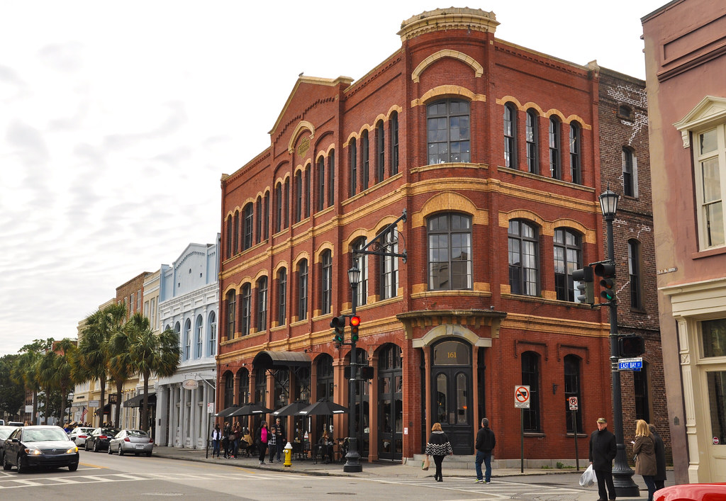
From Market street heading south on Bay street:
MV Oceana as seen from the pier at Waterfront park:
From Waterfront Park, looking at Fort Pickney (left) and Fort Sumter (Right). Fort Pickney has become run down and is mostly inaccessible.
Looking back from the Waterfront Park public pier:
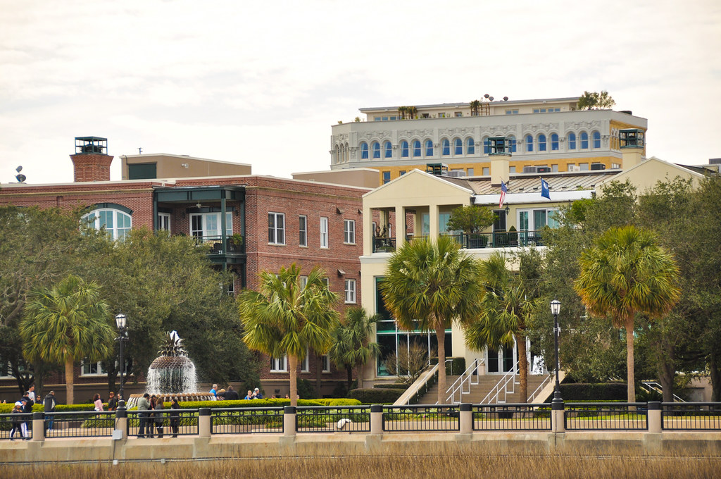
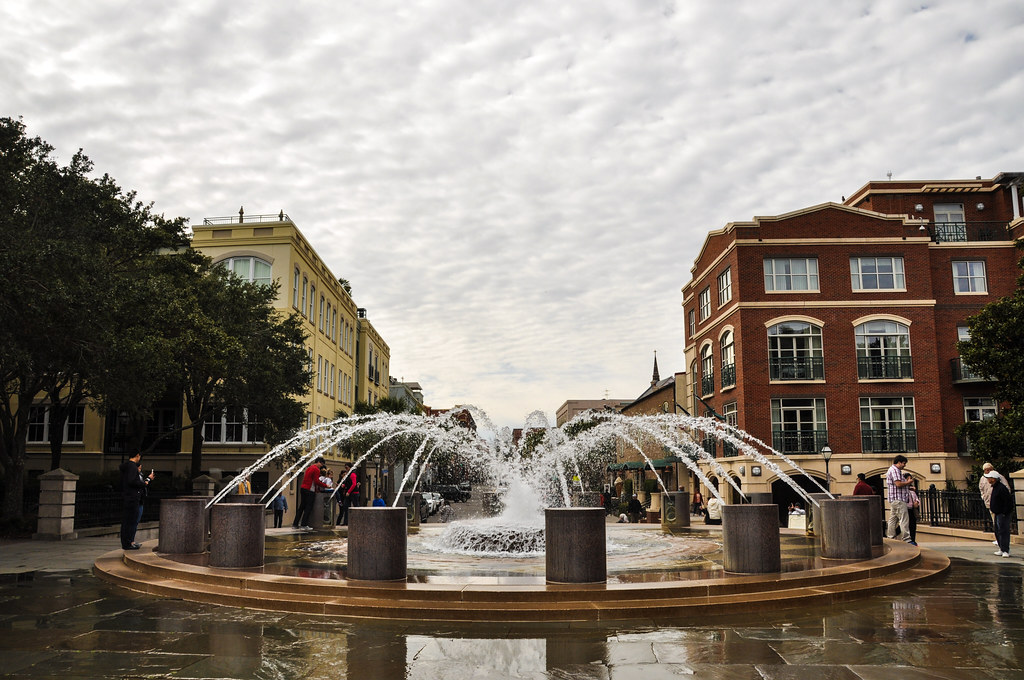
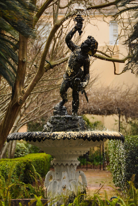
Fountain at Waterfront Park in front of the public pier:
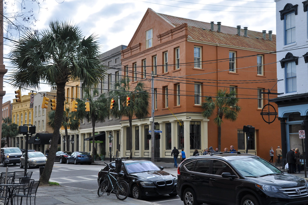
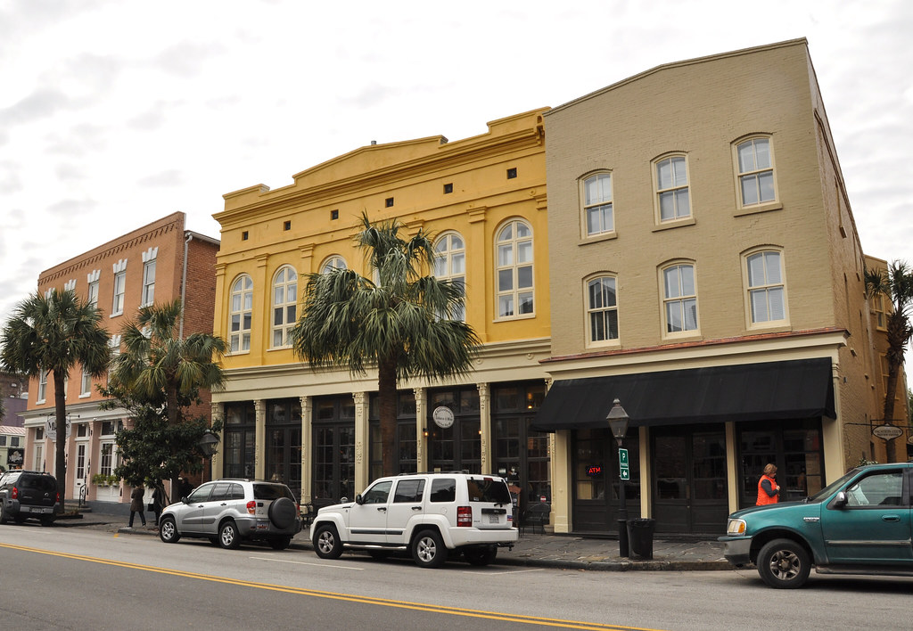
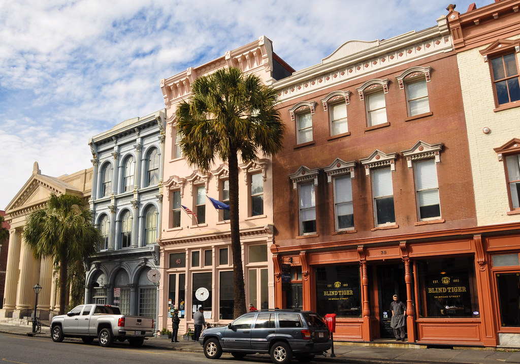
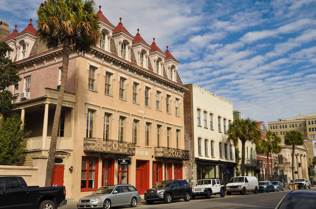
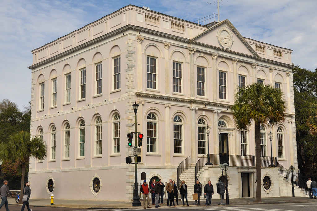
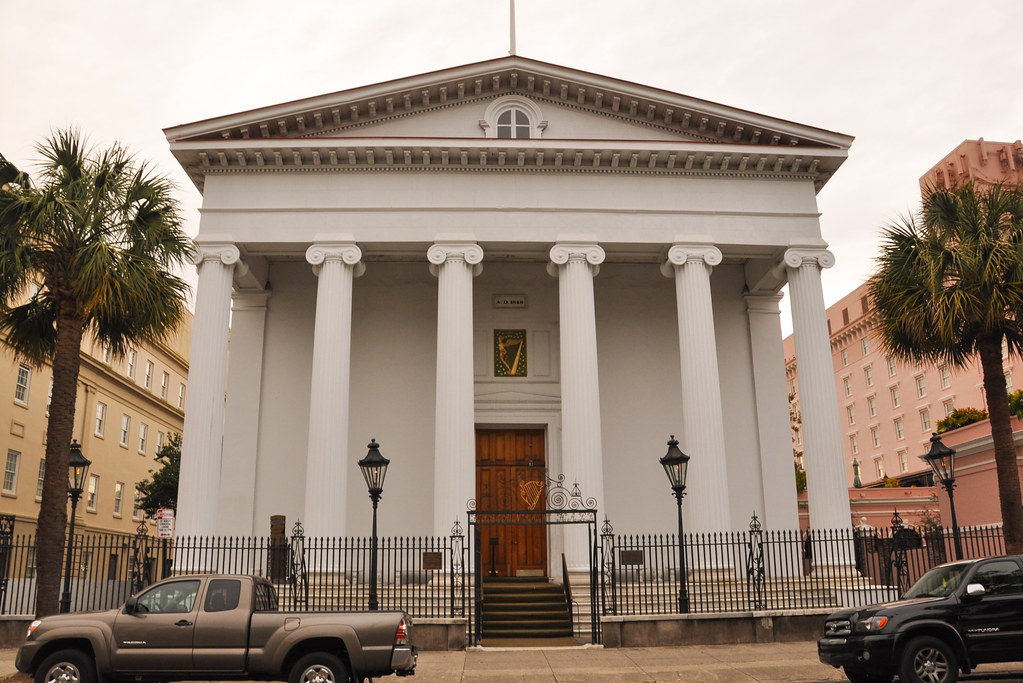
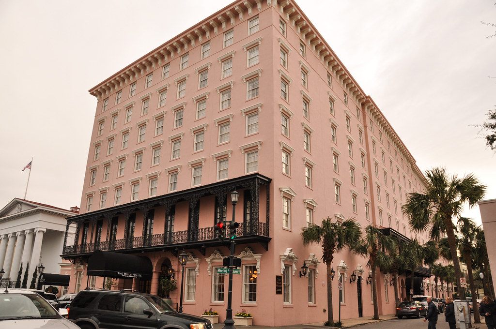
Bay Street at Broad Street:
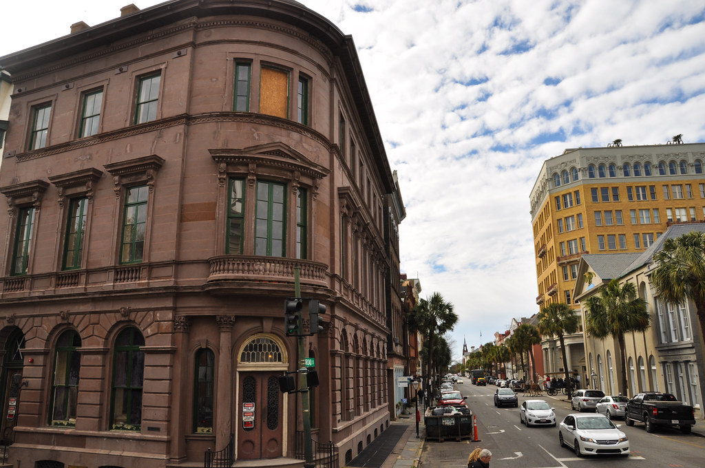
Looking west along Broad Street
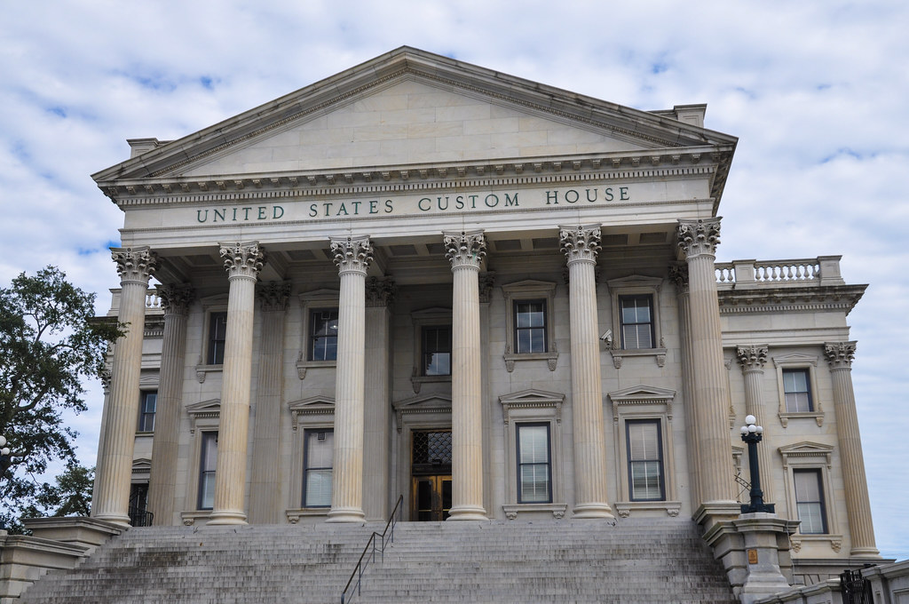
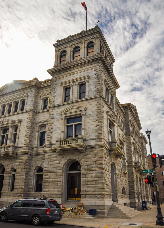
Old Custom House (also known as the Exchange and Provost) built circa 1767. It was used as the headquarters for the British when they occupied Charleston during the Revolutionary war. It jailed dissidents including someone who had signed the Declaration of Independence.
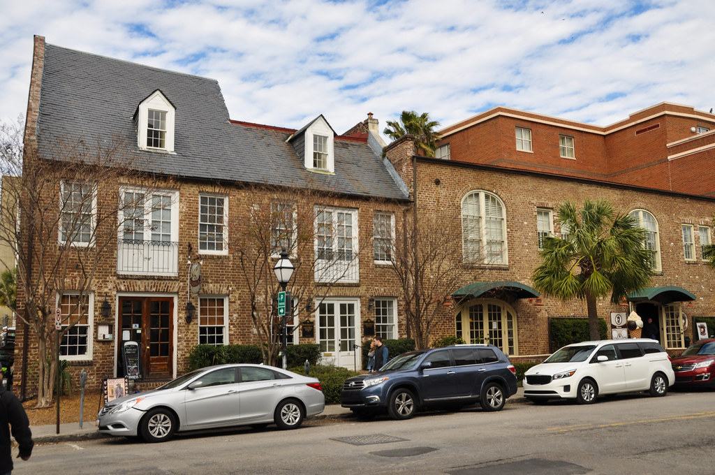
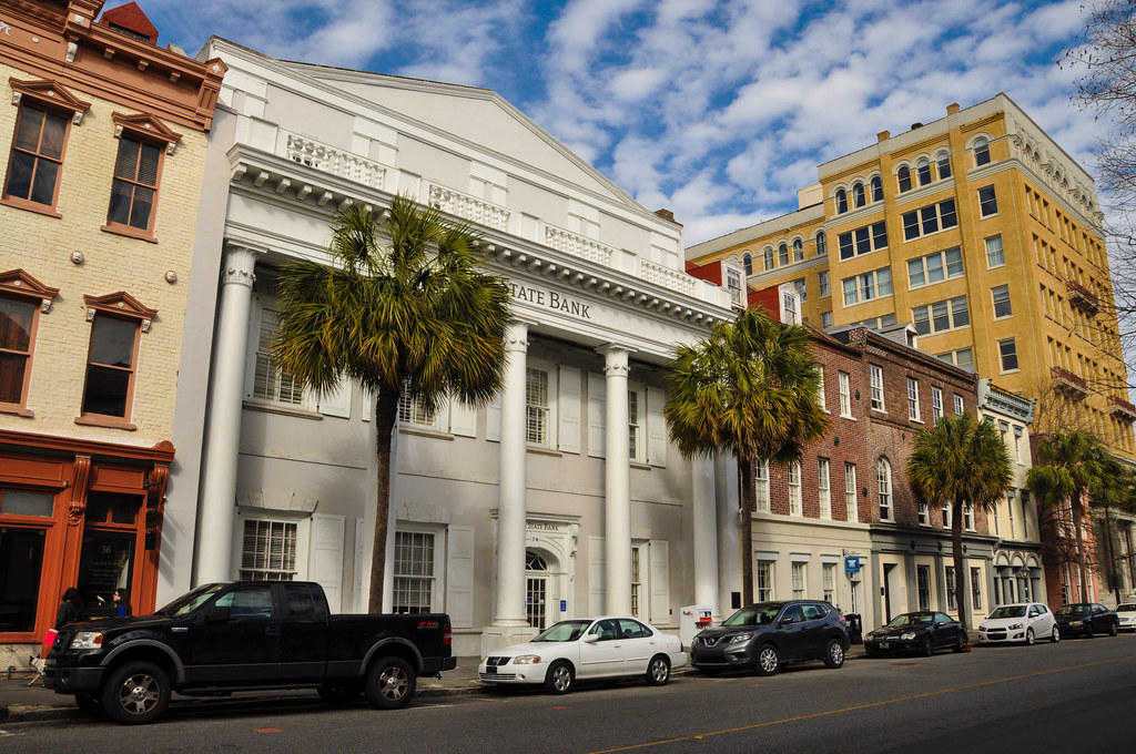
Continuing West along Broad Street
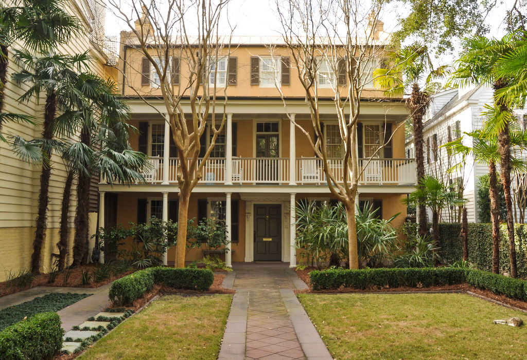
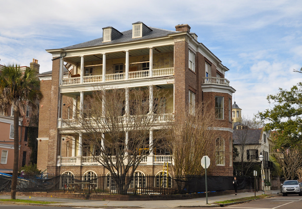
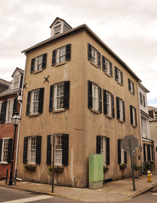
This is what's known as your typical "Charleston style home." The lots are narrow so the narrow side of the house faces the street. There is a faux front door that opened onto the front porch and another entry door from the porch into the house. The style of many of the early homes were inspired by northern Europe but some include influence from West Africa and Barbados (where some of the first slaves in Charleston were brought from). The American style front porch is a design element brought from West Africa by the slaves who built many of the colonial and antebellum homes.
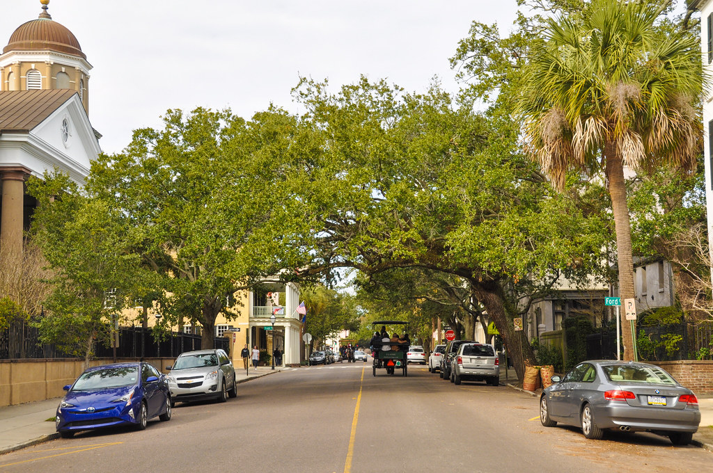
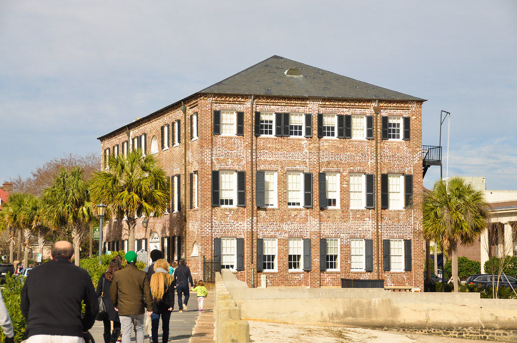
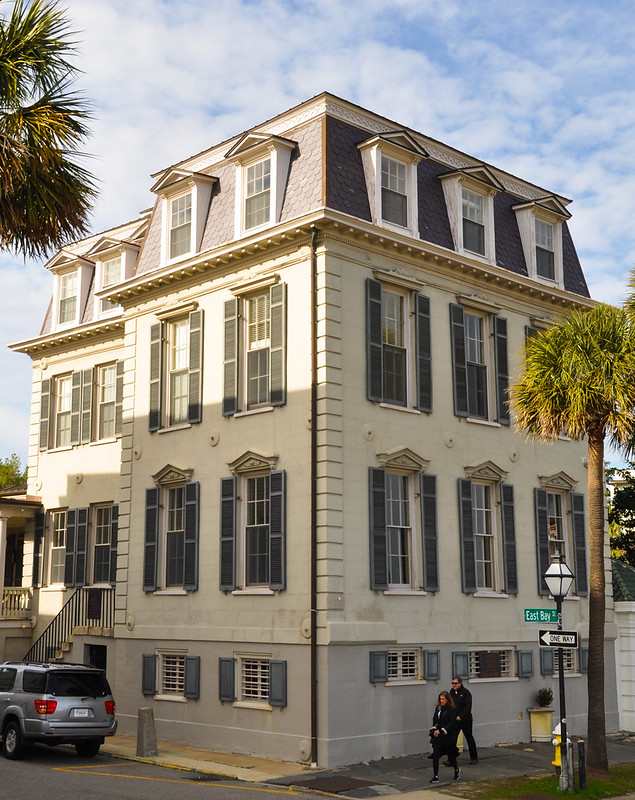
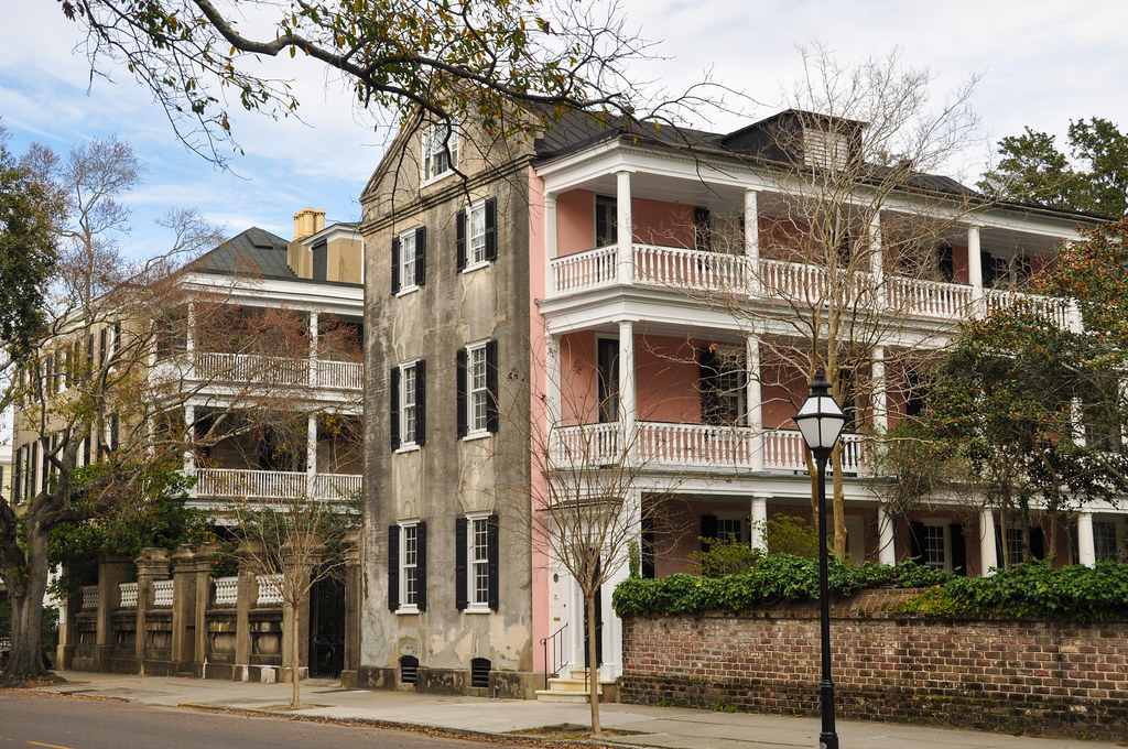
The following photos are all from around the intersection of Broad Street and Meeting Street:
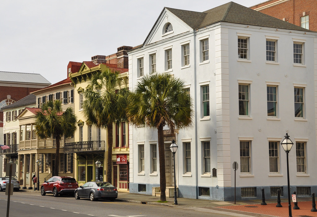
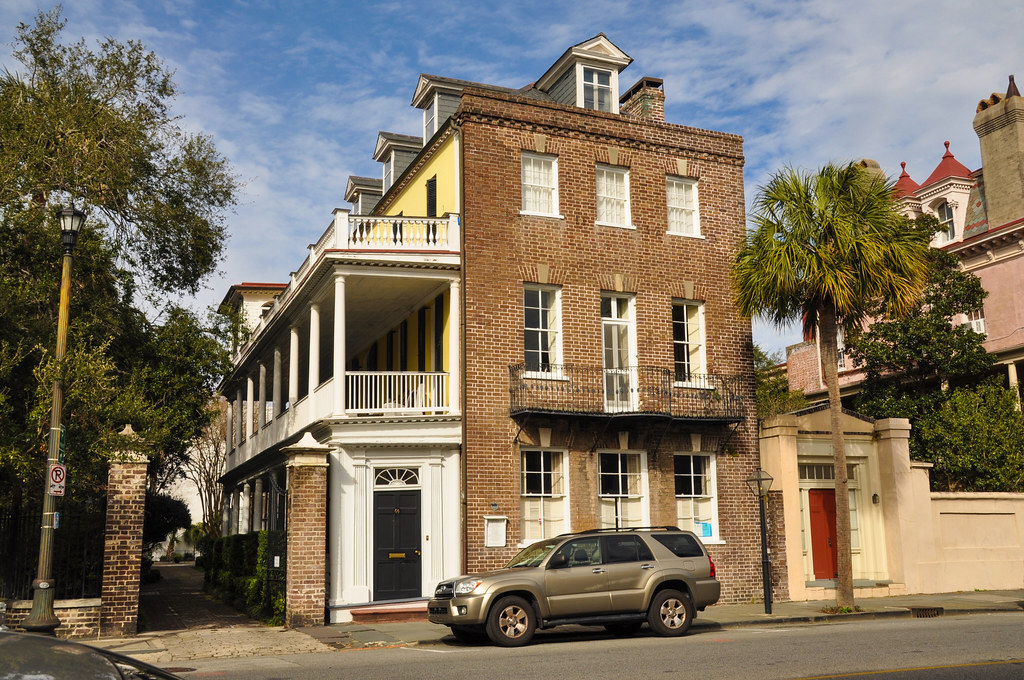
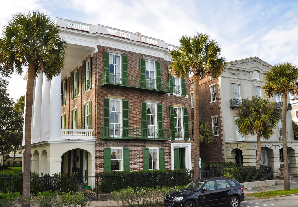
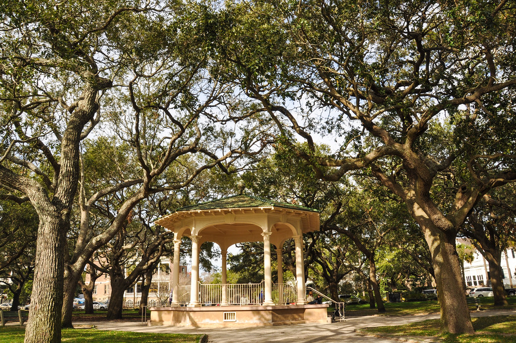
Heading south along Meeting Street from Broad Street it turns into mostly residential. There is mostly residential below Broad Street down to the southern tip at The Battery.
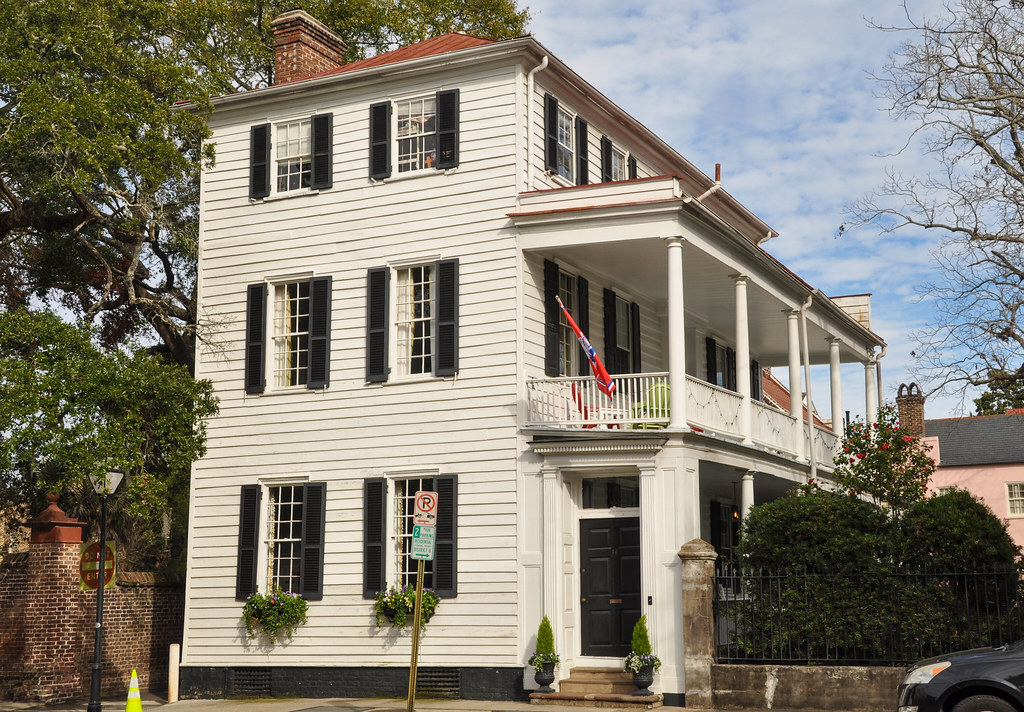
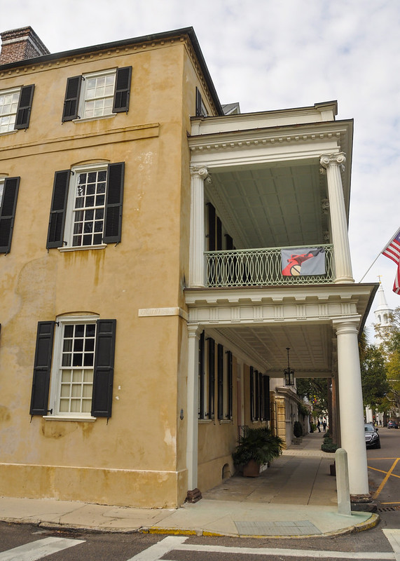
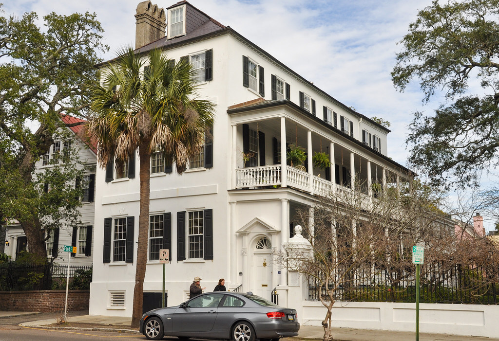
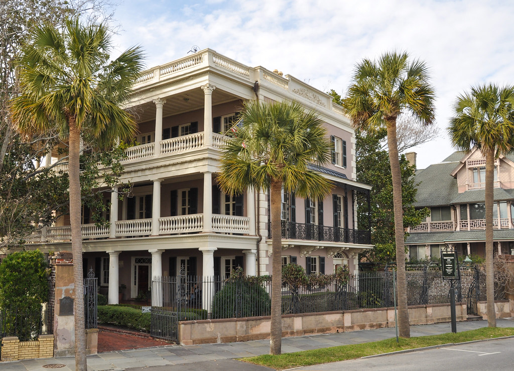
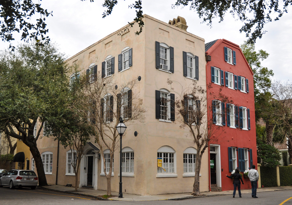
I like how some of these stick out so far towards the street that the sidewalks go under their porches:
Another one where the sidewalk goes under the porch:
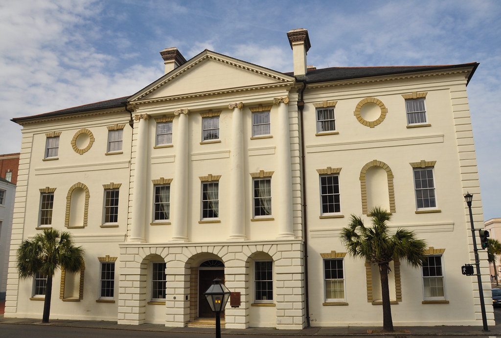
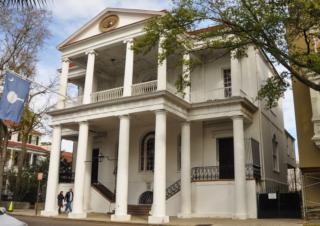
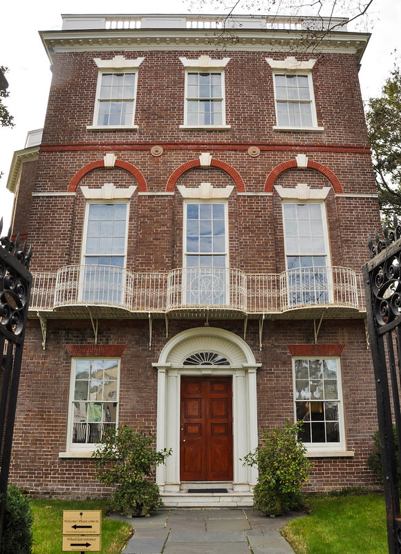
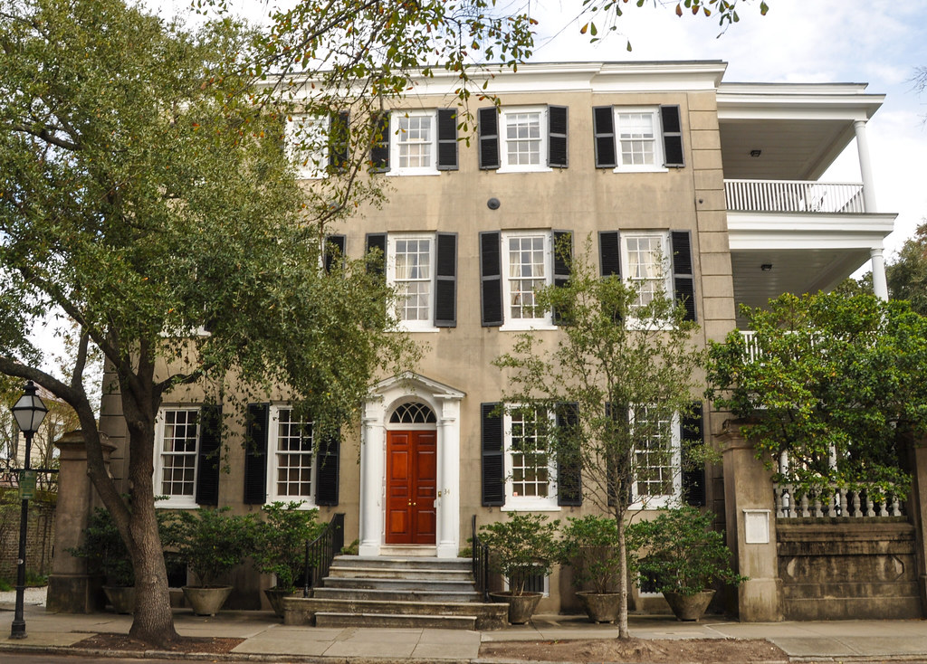
Nathaniel Russell House, circa 1808:
Looking north along Meeting Street from Water Street:
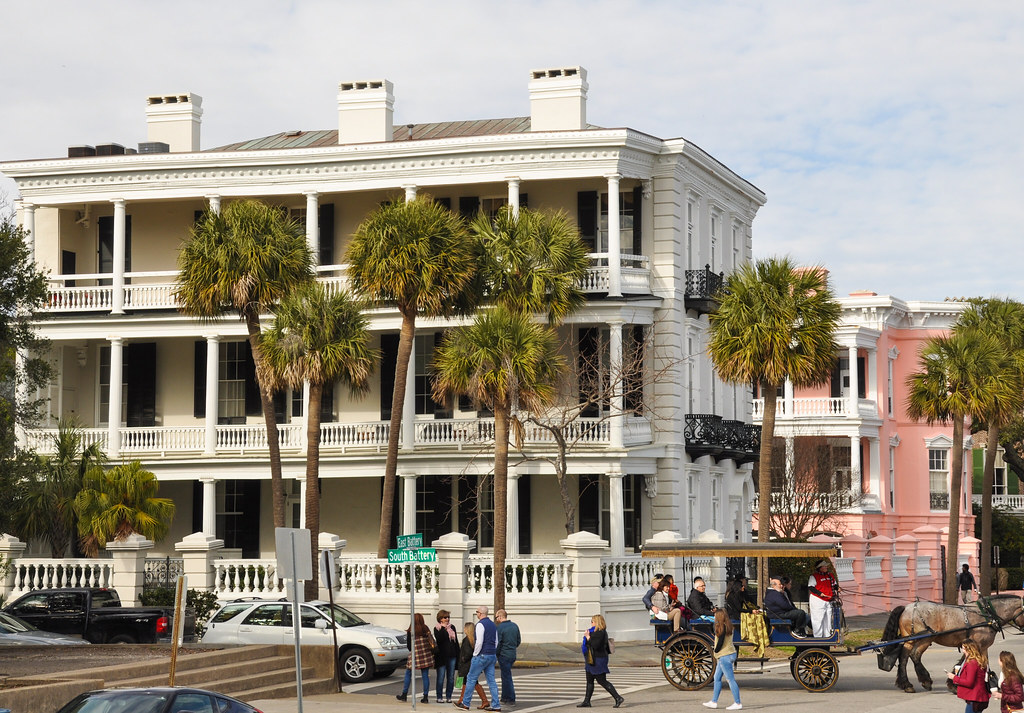
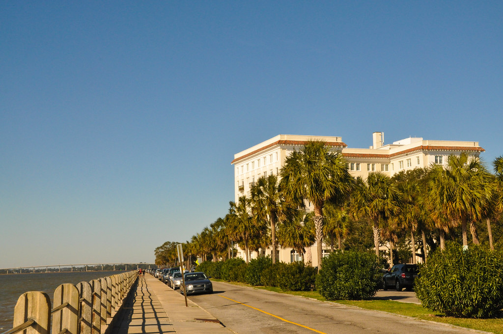
Along Battery Street. There is a large seawall that is a pedestrian path:
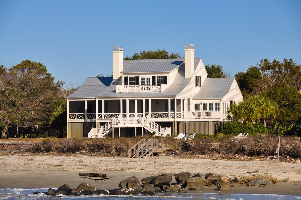
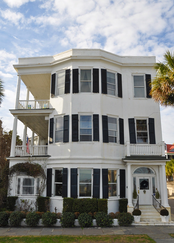
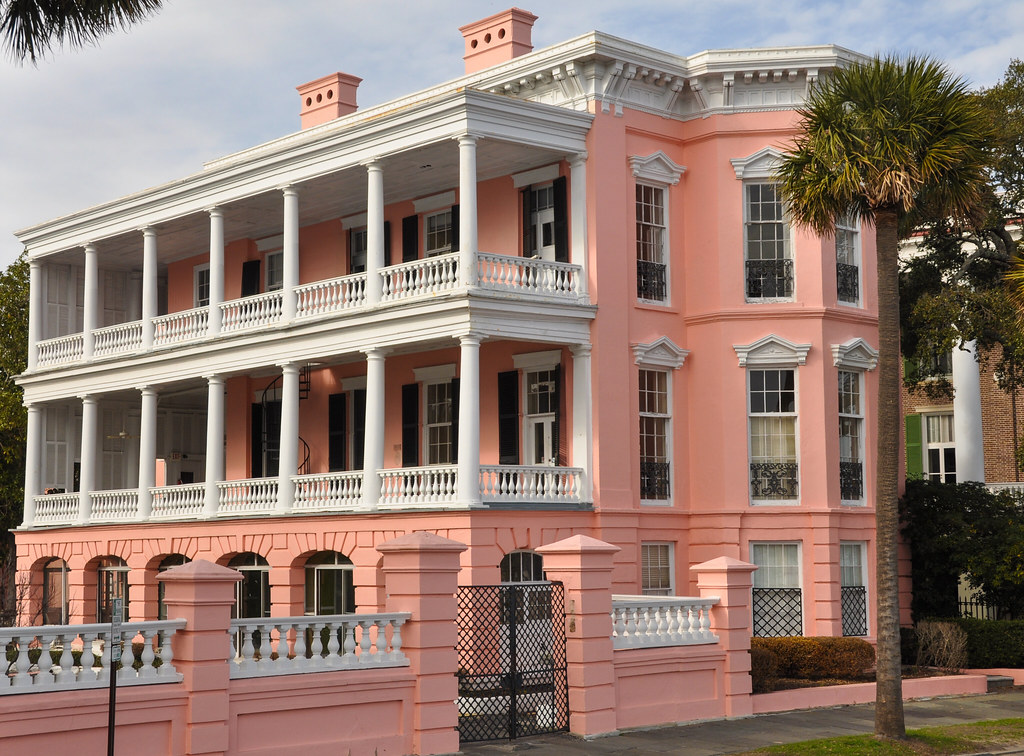
The homes along Battery, with views across the harbor. These homes are valued roughly from $4.5 million up to $6.5 million.
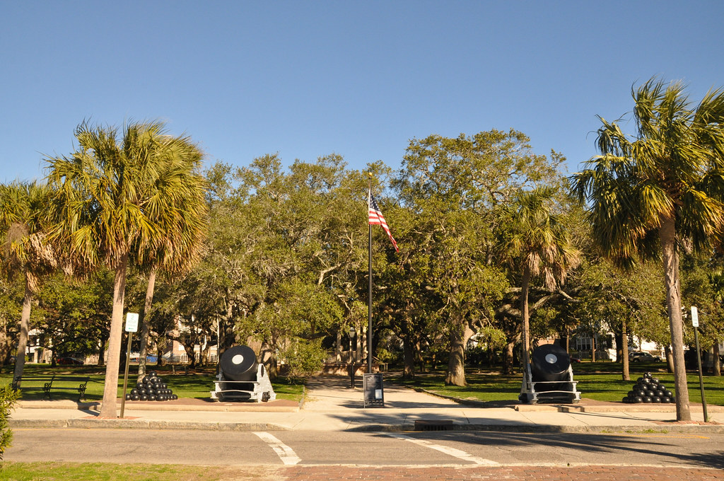
The corner of South and East Battery, across from White Point Gardens also called Battery Park:
View of Fort Sumter from the Battery, around 2 miles / 3.22 km away:
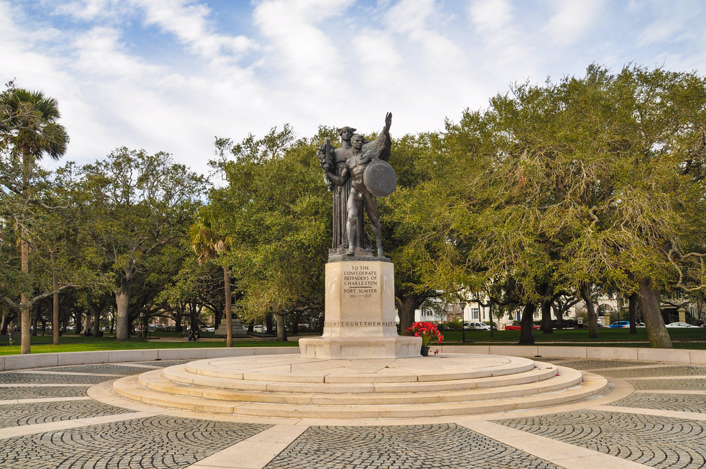
Statue to "the Confederate defenders of Charleston" at White Street Gardens / The Battery. There are quite a lot of monuments honoring the Confederacy, most dating form the 1930s through 1960s when "states rights" and "pro-segregation" were major issues in South Carolina.
From Battery Park, starting to head up Meeting or Church Street (can't remember which)

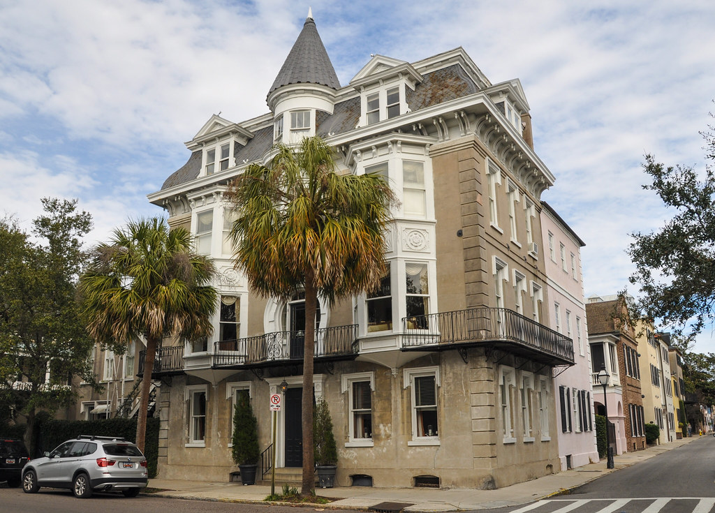
Many of the homes on the southern part of the peninsula have gardens and fountains. Most of the homes cost over $1 million so it is to be expected.
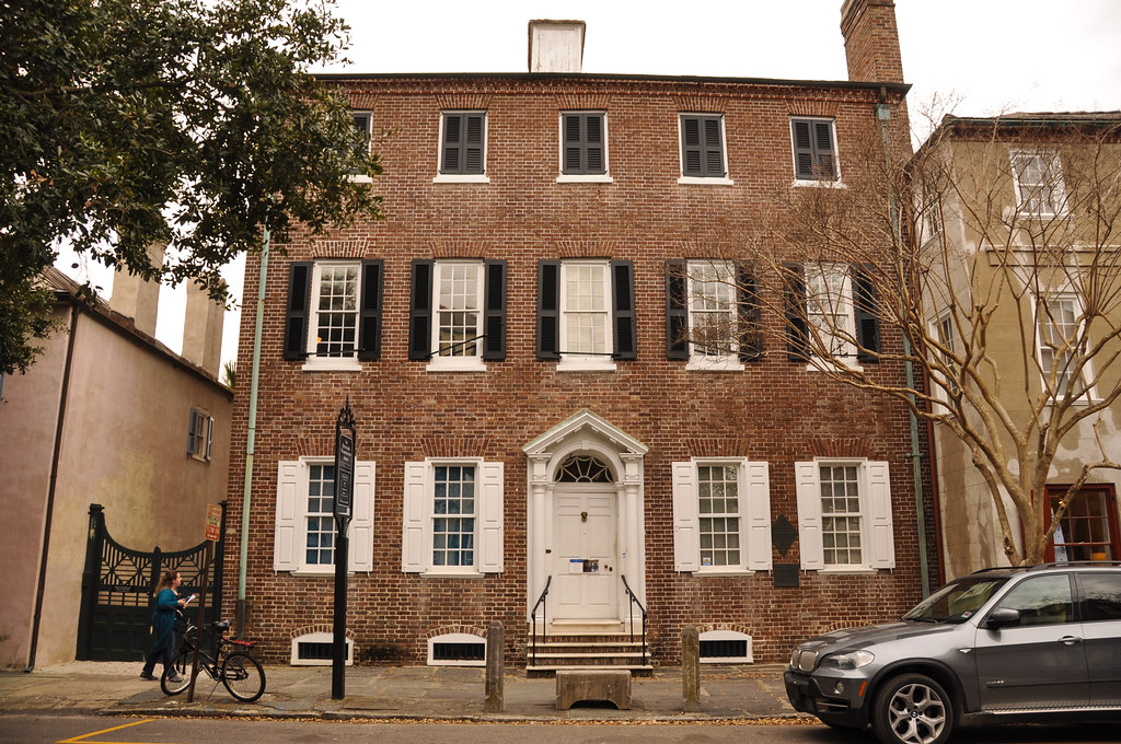
The Heyward-Washington House. George Washington was entertained here on his visit in May 1791, the register of historic places plaque says.
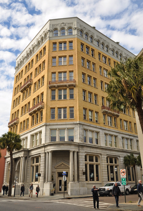
Back at Broad Street:
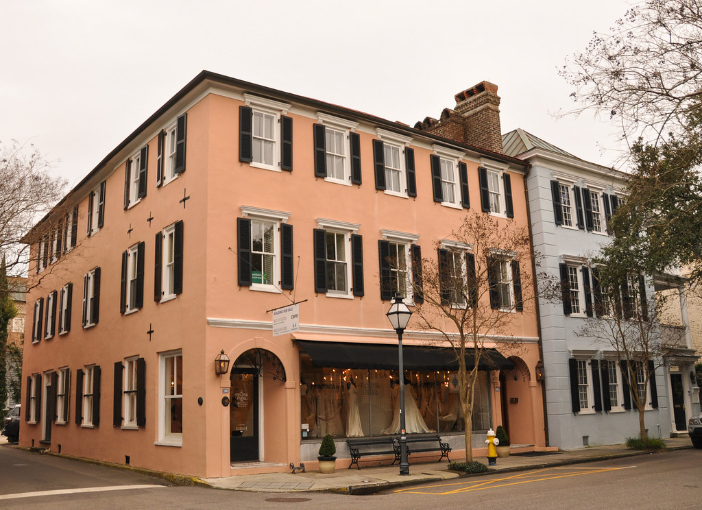
Meeting Street, between Broad and Market:
The next morning, went back to The Battery briefly before leaving:
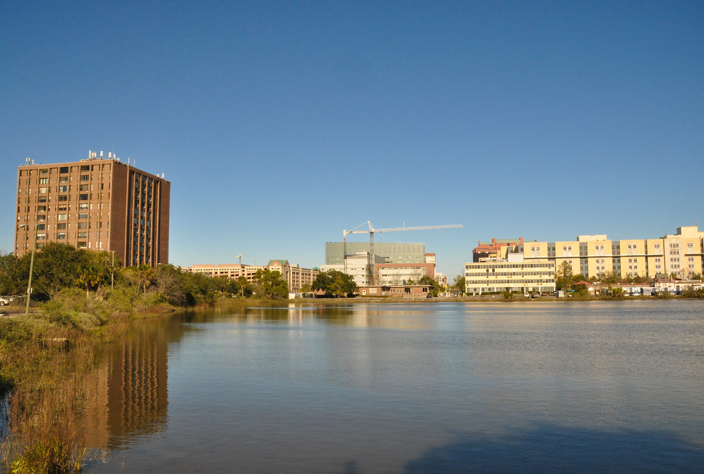
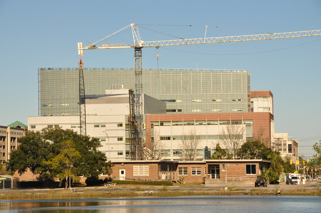
The medical district of Charleston, north of Lockwood and Calhoun:

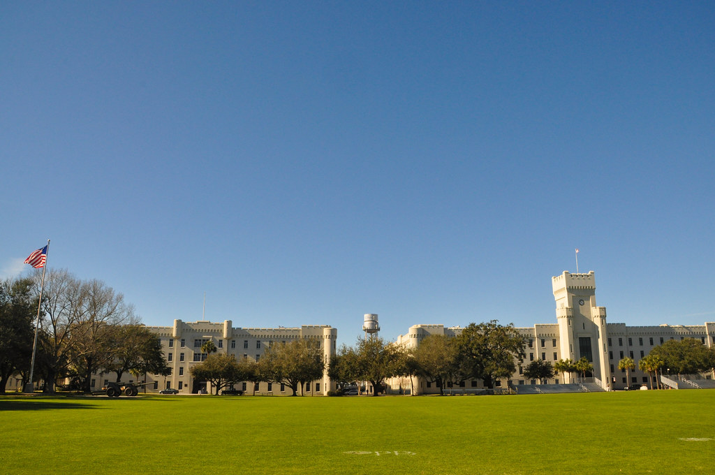
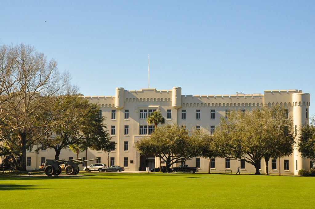
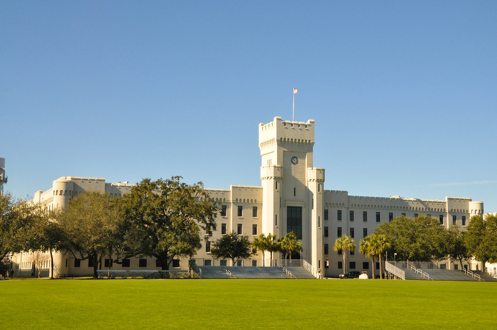
From there north to The Citadel, the military college of South Carolina:
A very brief trip to an interesting city.


 Linear Mode
