RailFans/O-Train Fans has posted the recent Ottawa Stage 2 presentation, along with dozens of contraction images. Impressive progress.
https://www.railfans.ca/news/stage-2...cember-17-2021
Here are a few highlights. Plenty more on the website.
East
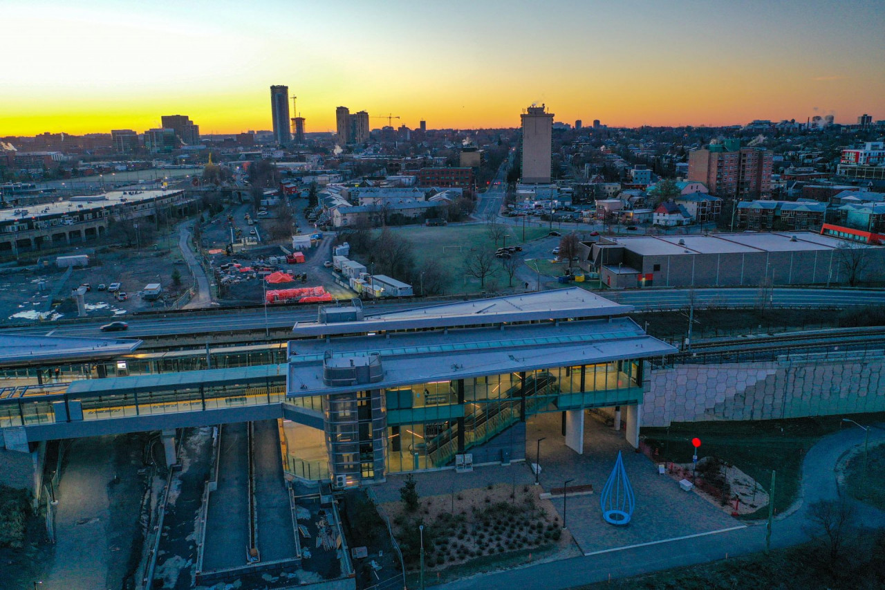
Place d'Orleans Station, suburban east ends main bus-rail transfer.
 Montreal Station
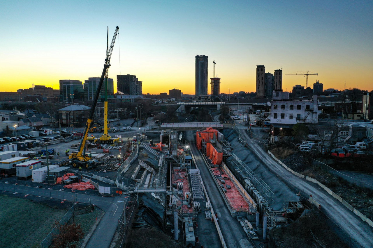
, local transfer station.
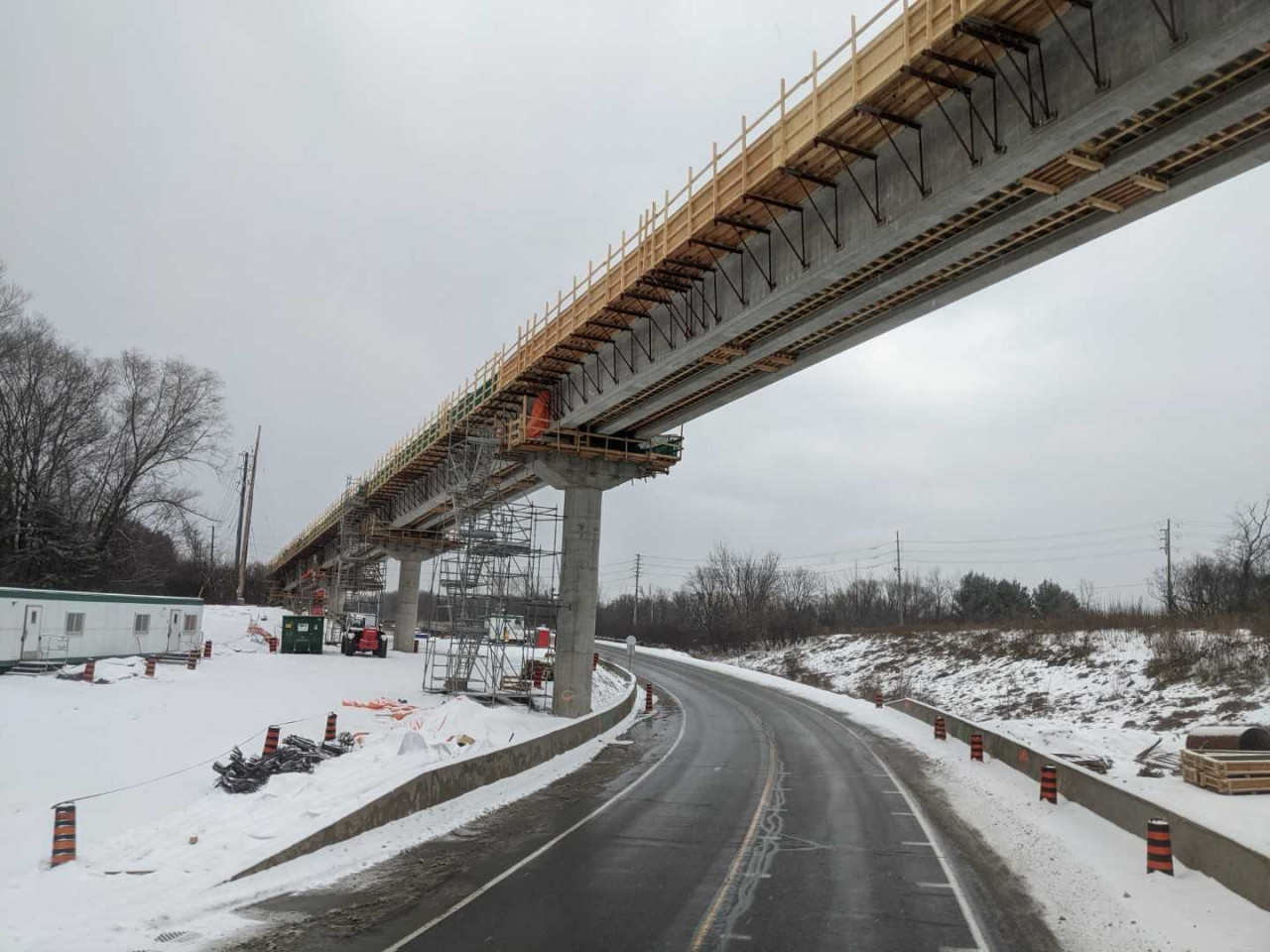
 Flyover
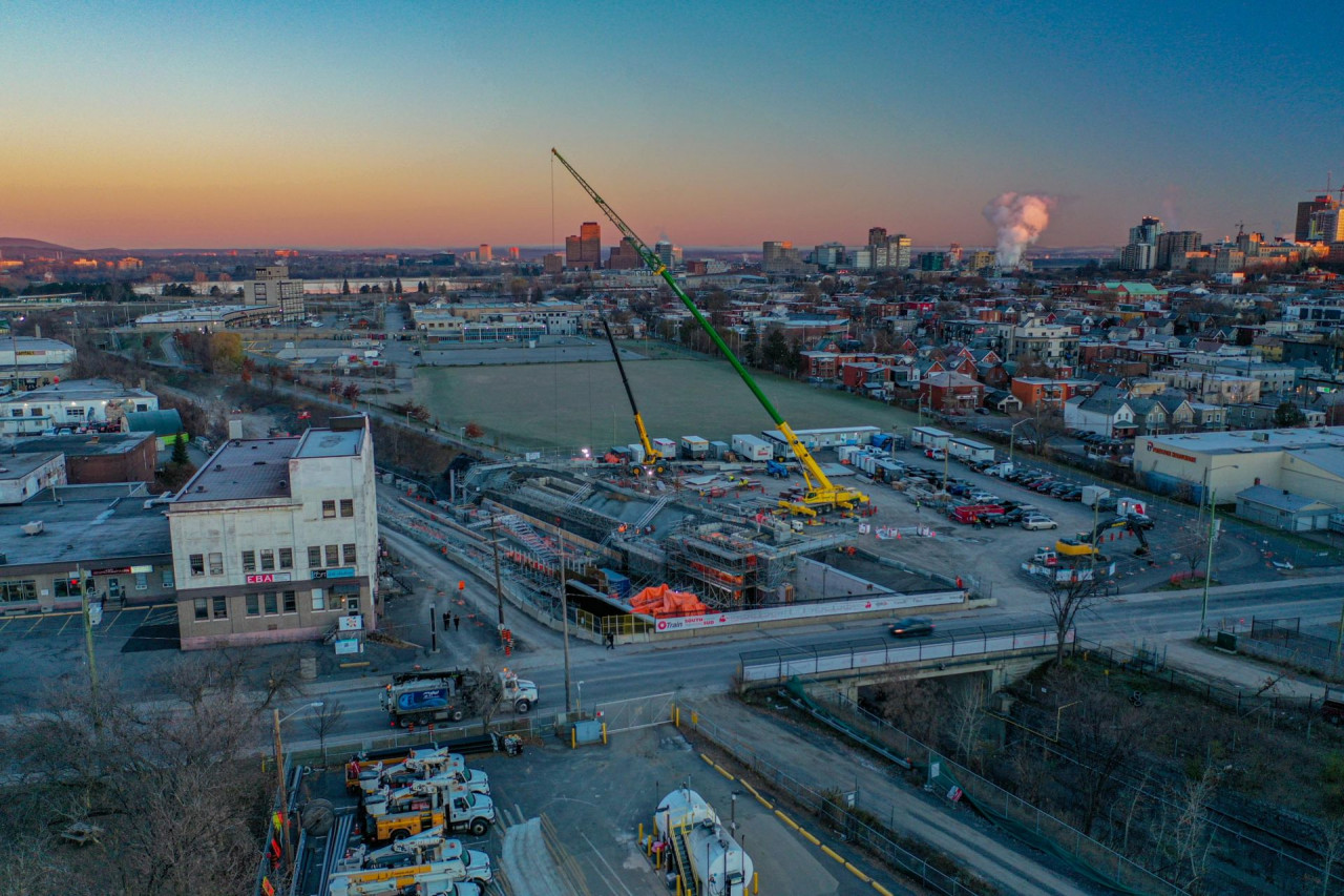
 between Blair Station, the current terminus, and Montreal Station, looking east (towards Blair Station).
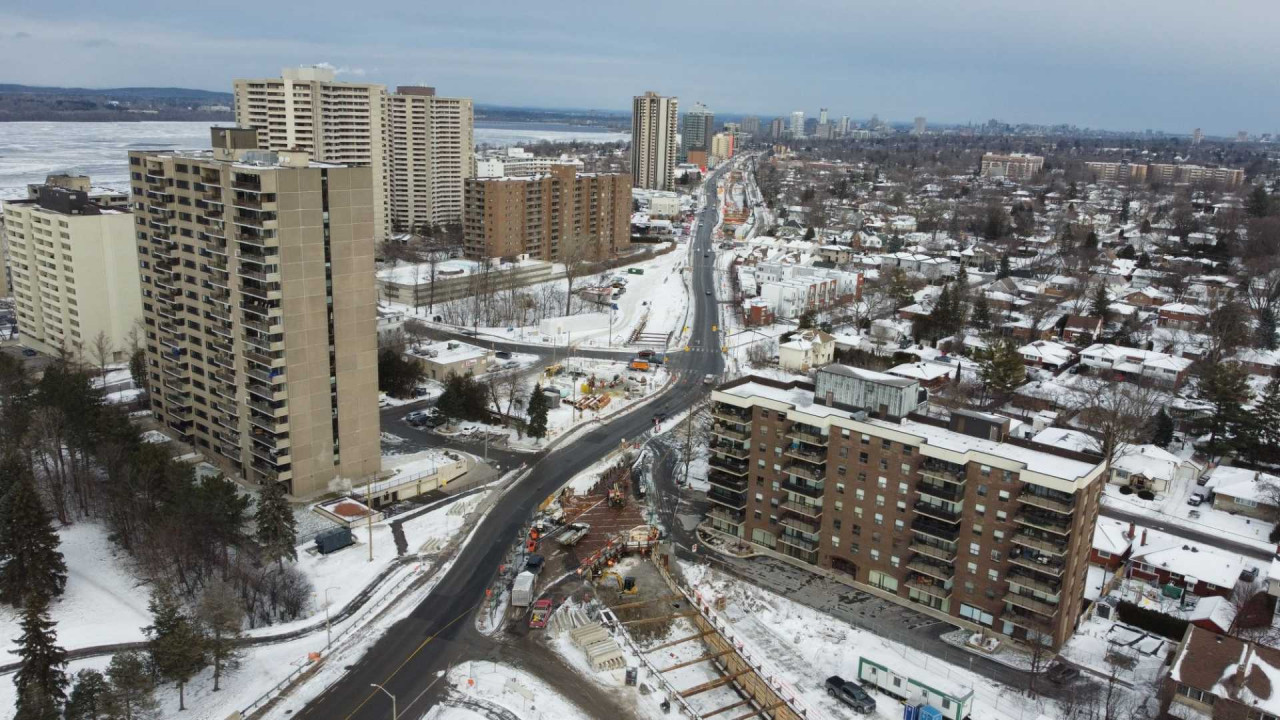
 West
Tunney's Station
West
Tunney's Station, the current terminus.
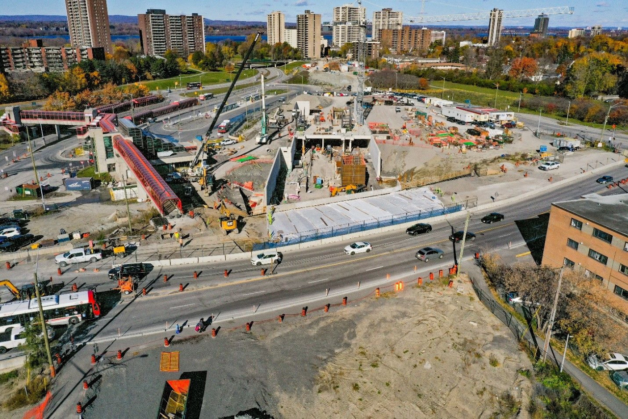
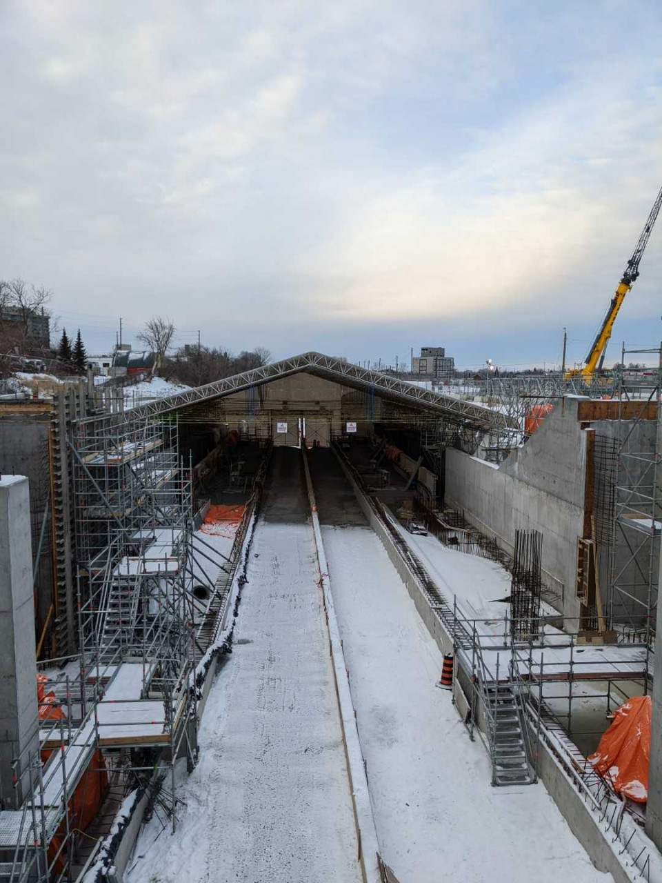
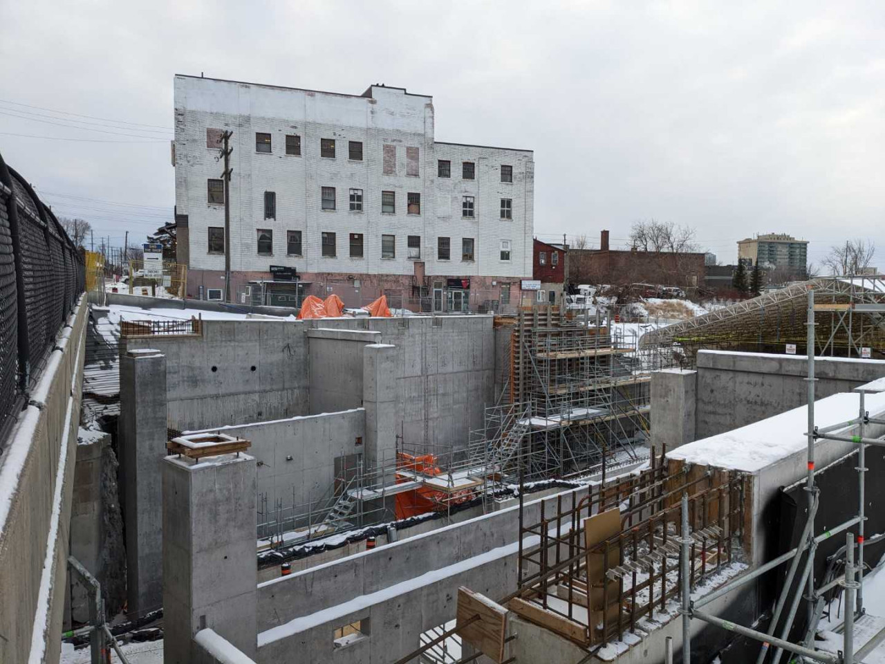
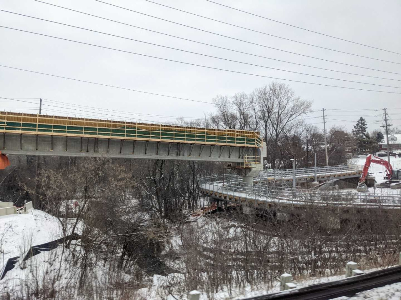
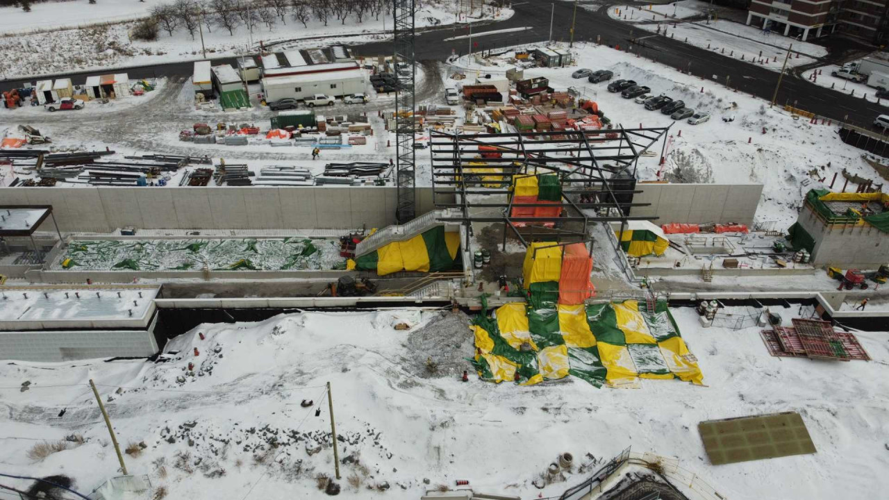
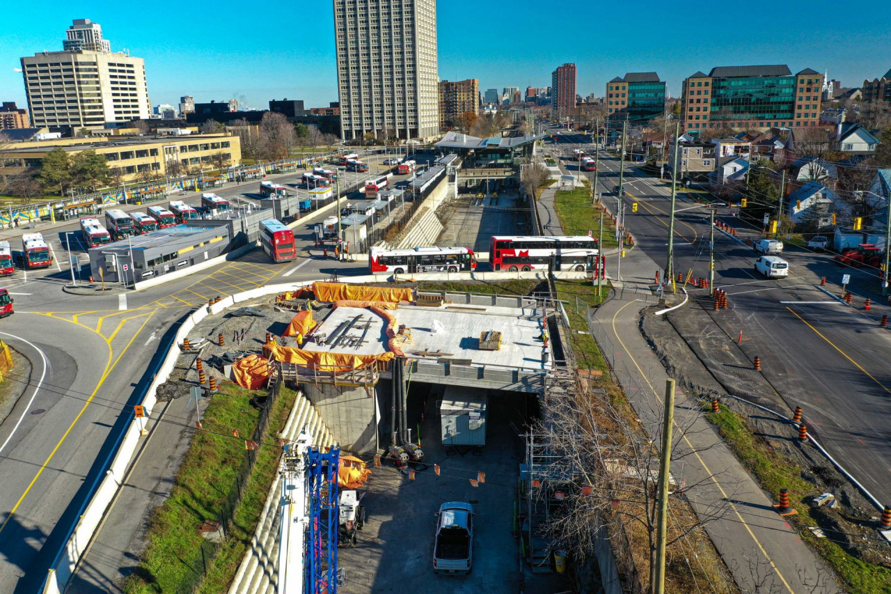 SJAM-Byron
 tunnel.
[IMG]
https://www.railfans.ca/images/easyblog_articles/751/we
st/b2ap3_large_20211218-022216Byron-4_November_2021.jpg[/IMG]
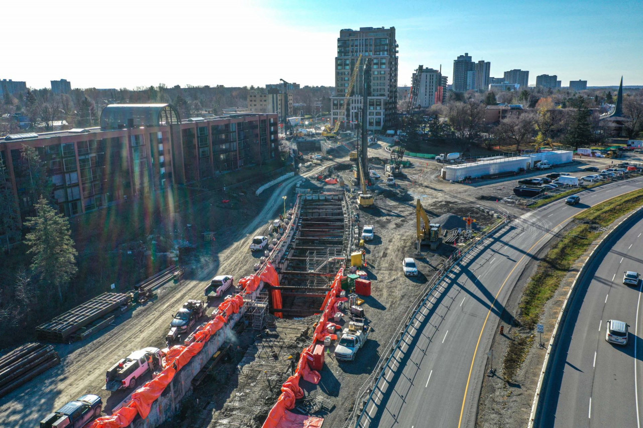
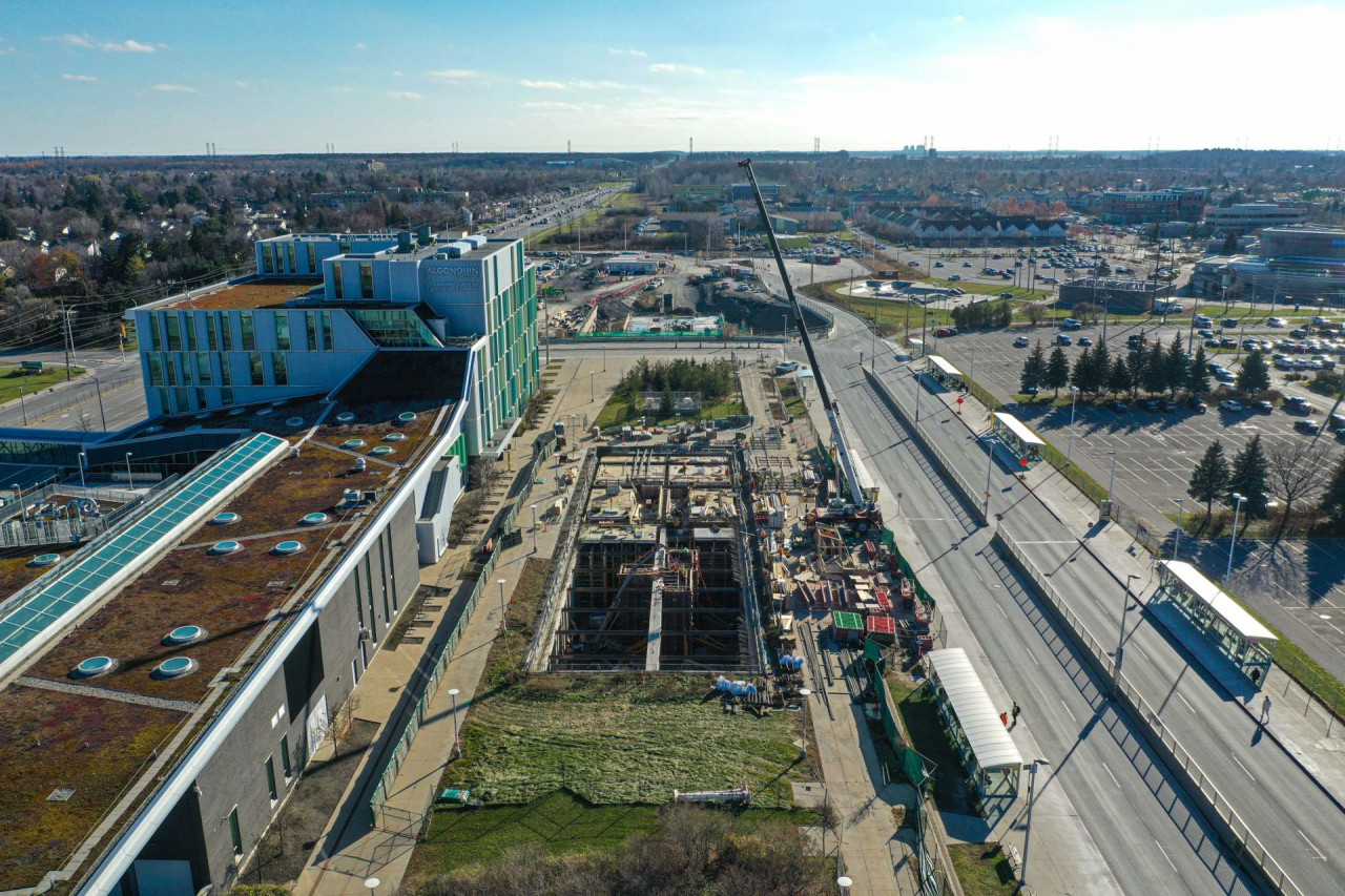
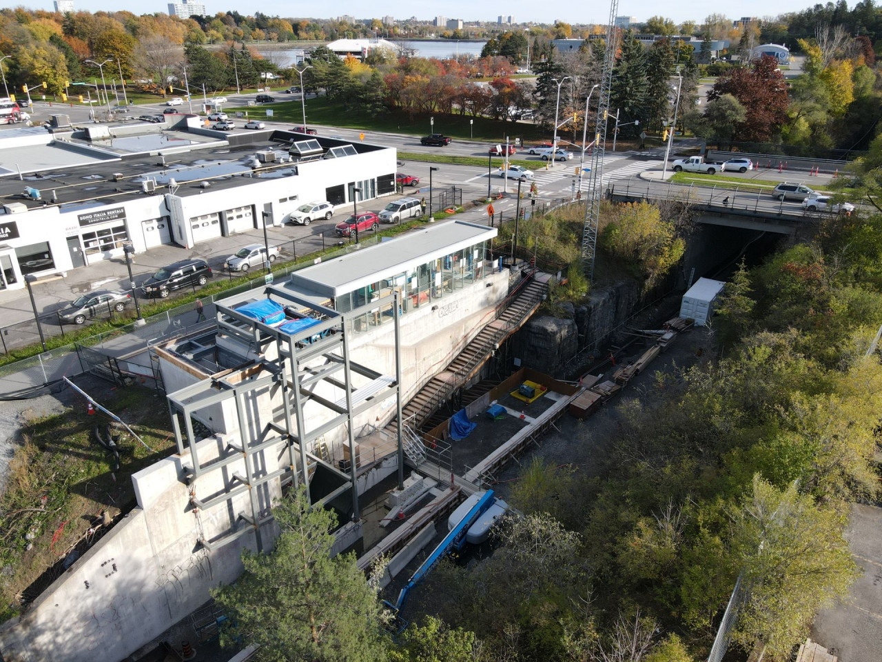
Algonquin Station, future south-west (Line 1) terminus.
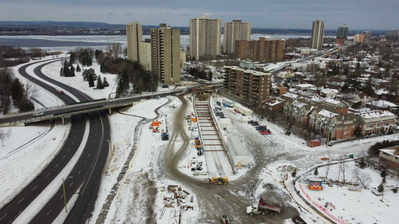
 Lincoln Fileds Station
, transfer between outbound Line 1 and 3. Three tracks, two platforms, washrooms and retail.
 Moodie LMSF
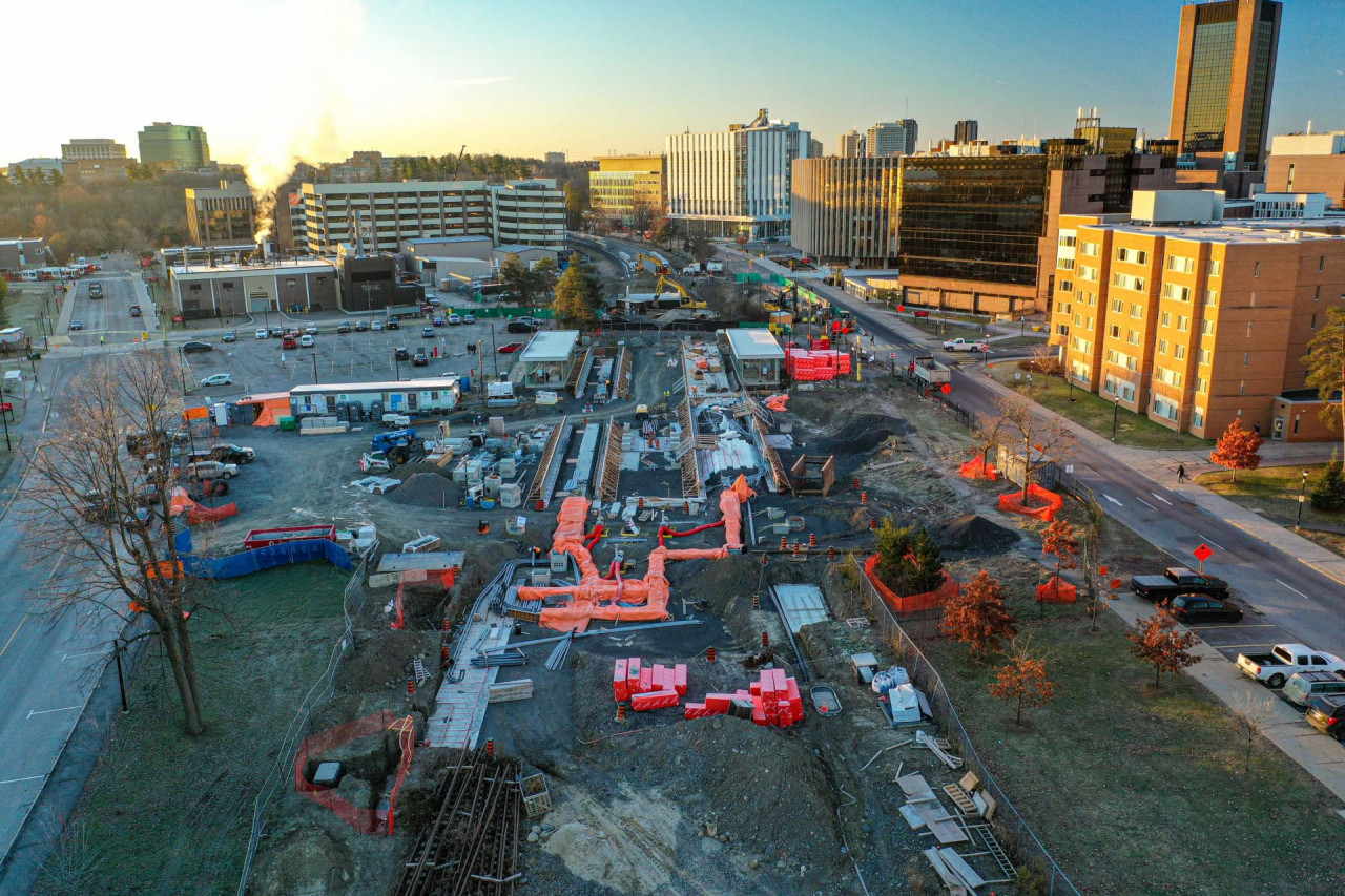
 South
Bayview Station
South
Bayview Station, transfer between Line 1 and Line 2. Major expansion of Line 2 platform level, doubling the length of the platform, adding a second platform and a new entrance to the MUP and the future Trinity development via a ped bridge (65, 56, 23 floors).
 Corso Italia
, urban infill station that will serve thousands of proposed new residential unit, an existing community centre and much more.
 Dow's Lake
, thousands of residential units recently built, u/c and proposed, along with the future new Civic Hospital, eastern Ontario and Western Quebec's (and Nunavut) main trauma centre. Doubling the length of the platform, and two new elevators (up from a single elevator since 2001 opening).
 Carelton Station
 at Carelton U, the busiest station for the first 20 years, but will have competition from Dow's Lake, Corso Italia and Bayview in the future.
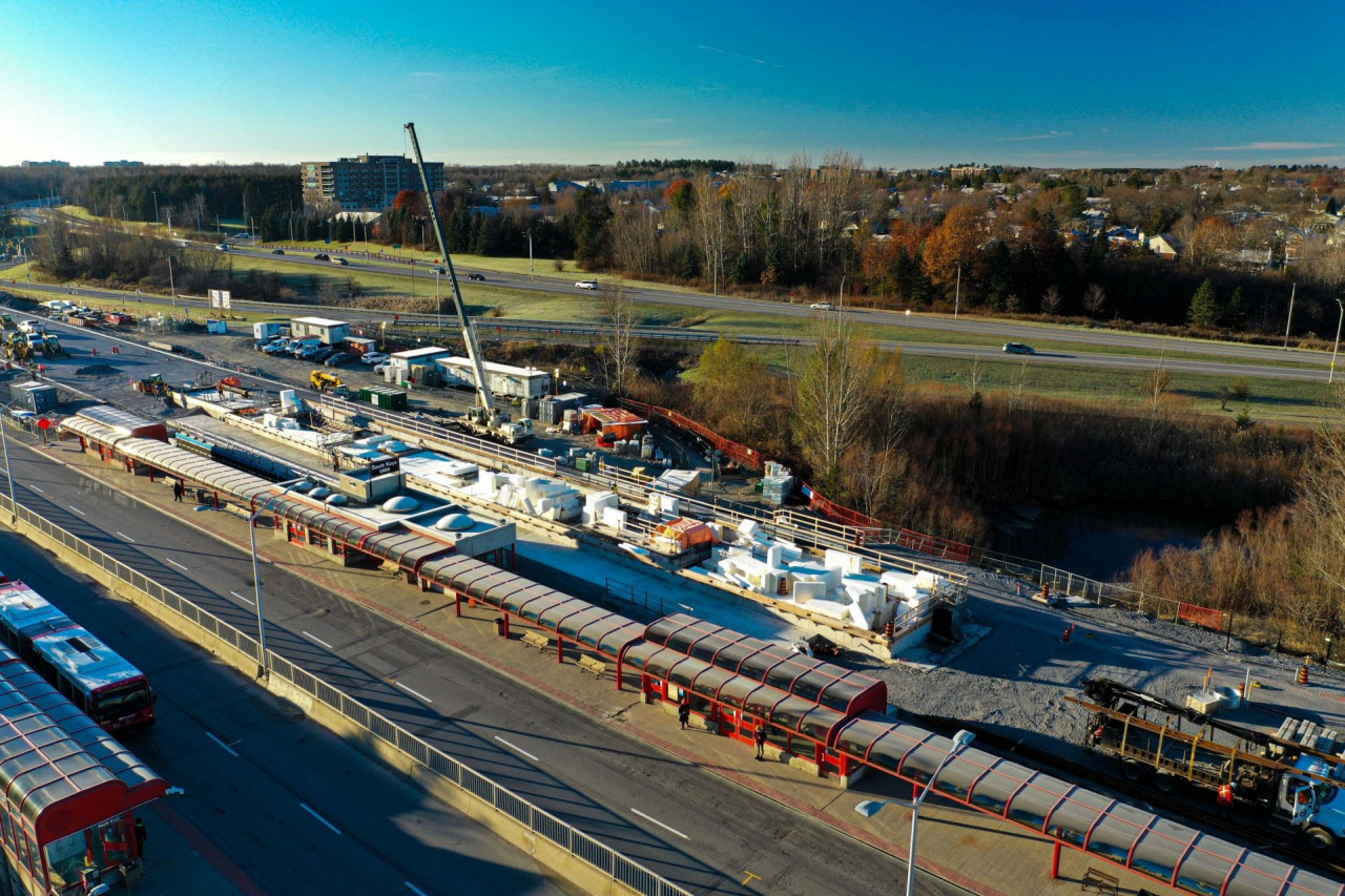
 South Keys
, transfer between the airport Line 4 and the main Trillium Line 2.
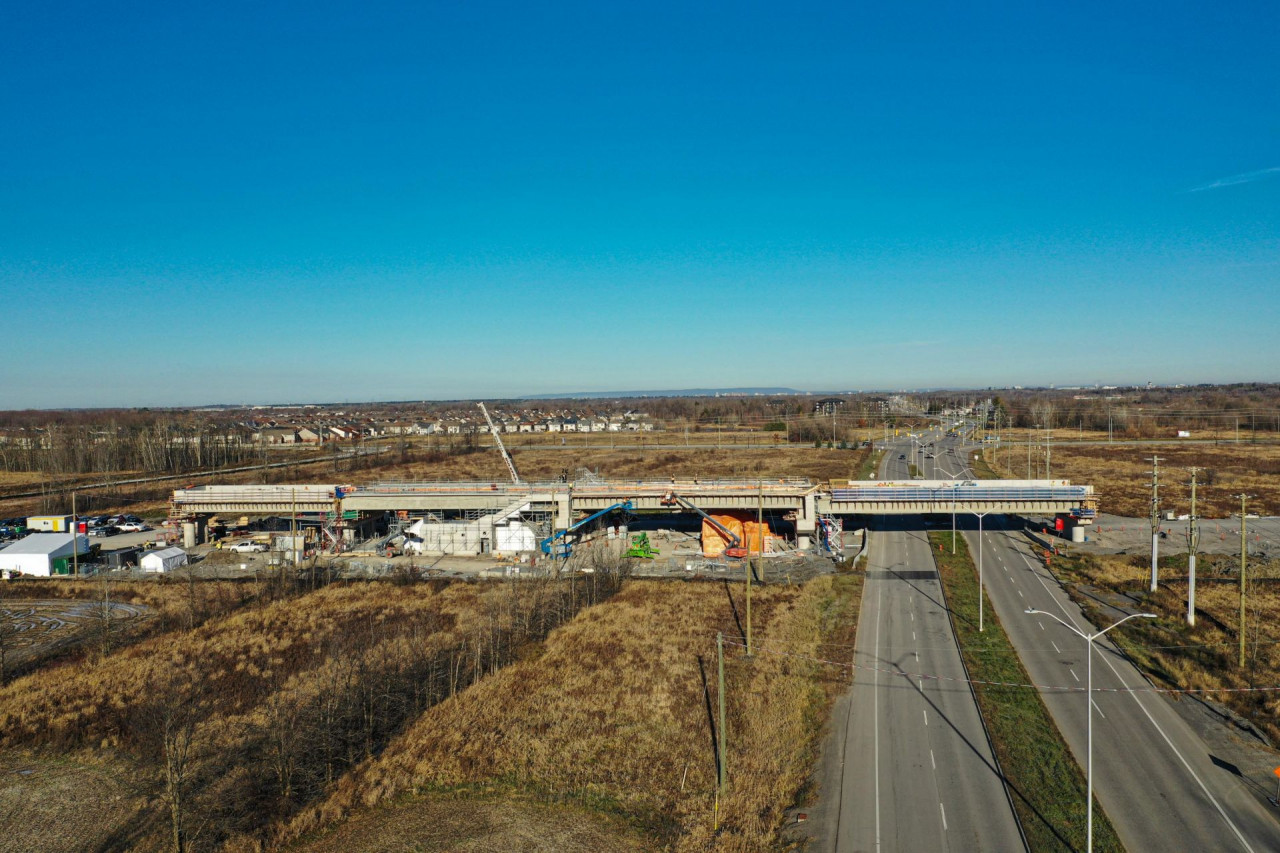
 Two of three new stations
 at the far south end in empty fields and woods.


 Prev
Prev


 ), but BRT lines belong. They functionally operate little differently from the LRT lines. The map also visibly differentiates between frequent and non-frequent/peak-only commuter trains, and between tram and LRT lines.


 Linear Mode
