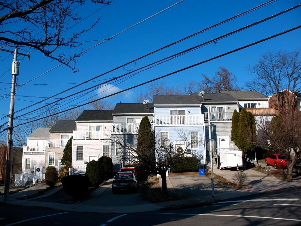
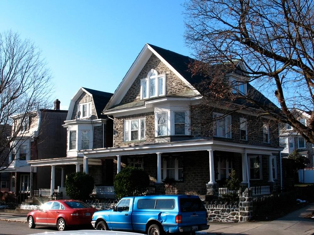
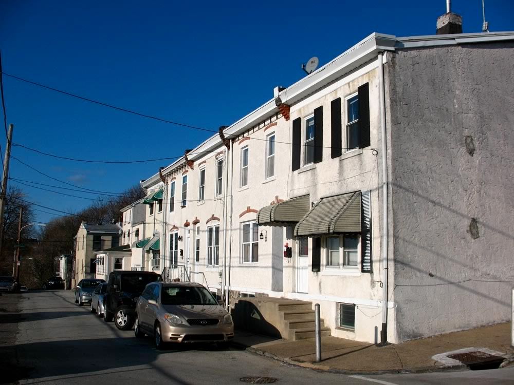
Manayunk, USA
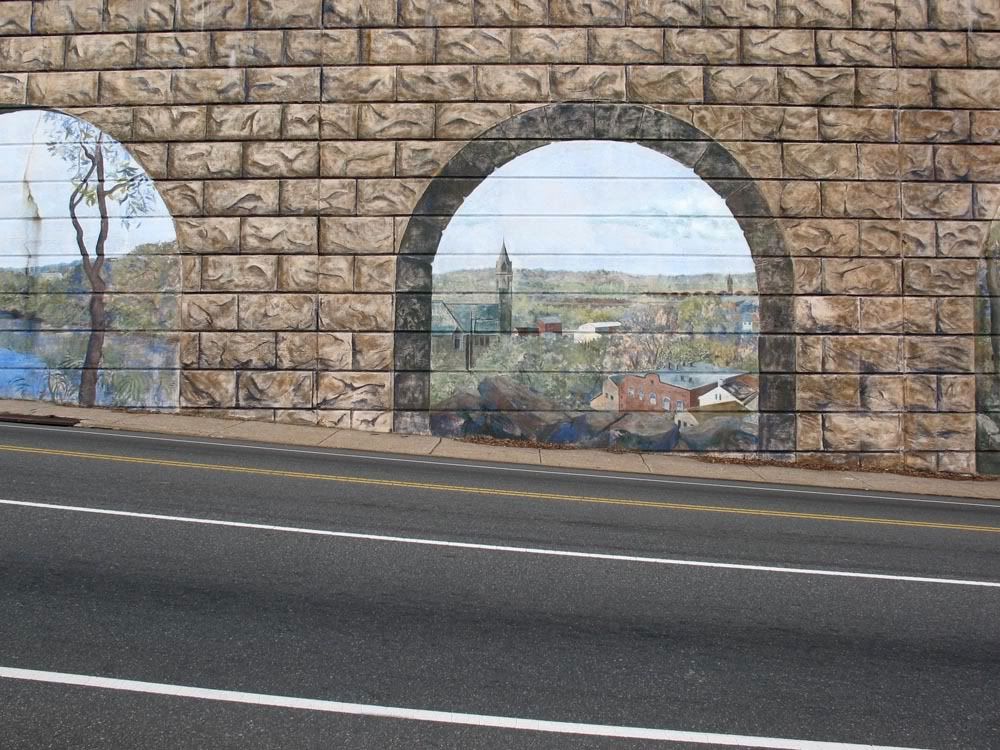
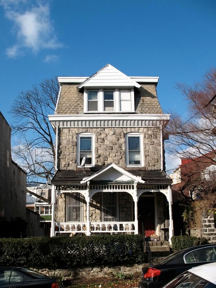
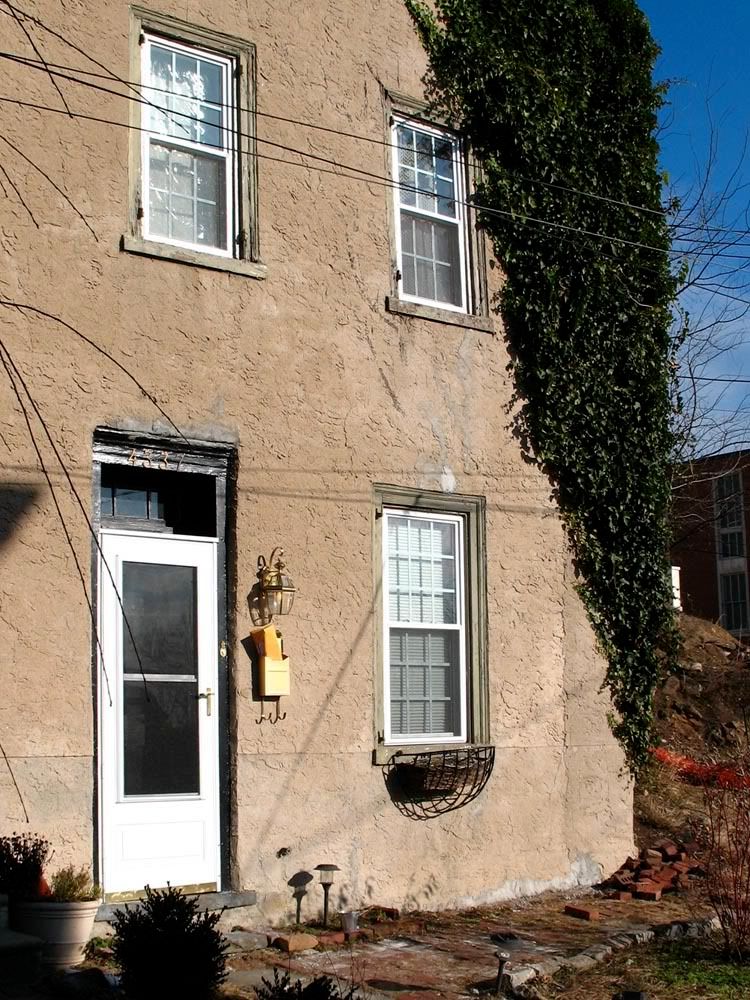
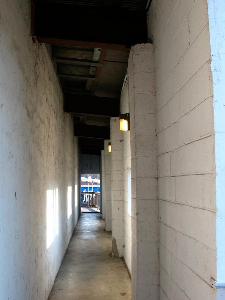
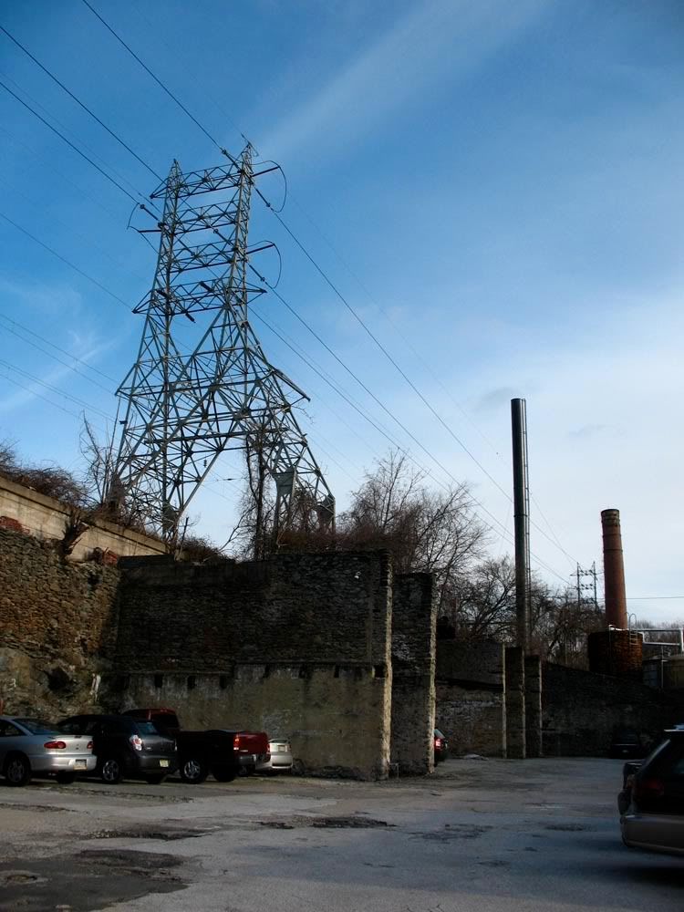
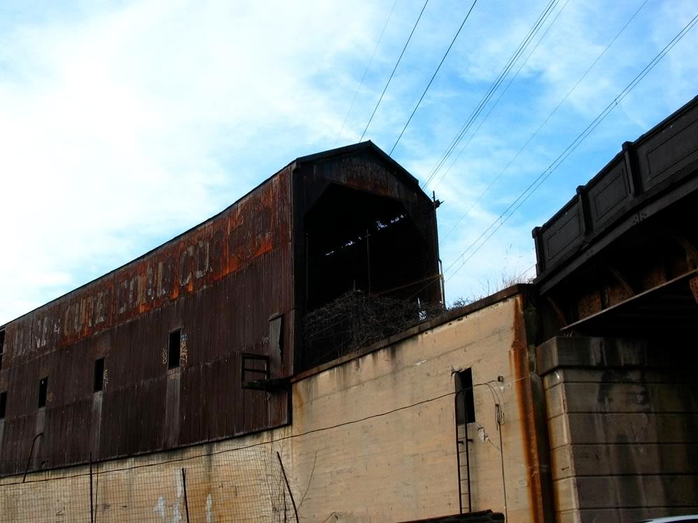
For centuries, Manayunk was well known as an industrial borough, taking full advantage of its proximity to the Schuylkill River. Originally known as Flat Rock, and then briefly, Udorovia, it officially took the name Manayunk in 1824. In 1840 Manayunk became independent from Roxborough Township and in 1854 became part of Philadelphia as the 21st ward. During Manayunk's industrial heyday, the burough's mills, factories and warehouses were humming with activity. Following the Depression and World War II, the work dried up and the stone buildings stood abandoned and wasting away. The commercial district of Main Street resembled a ghost town in those days. Despite the grim economic outlook caused by the lack of jobs, Manayunk never lost its sense of community and many of the locals stayed put. As late as the 1970s Manayunk was known as an working-class neighborhood. Shortly thereafter, the rebirth of Manayunk began. The once forgotten steel and stone relics of Manayunk's manufacturing past now served as ideal new settings for fancy eateries, chic boutiques and luxury condos.
Map courtesy of Google Maps. Boundary delineation by Philadelphia Neighborhood Base
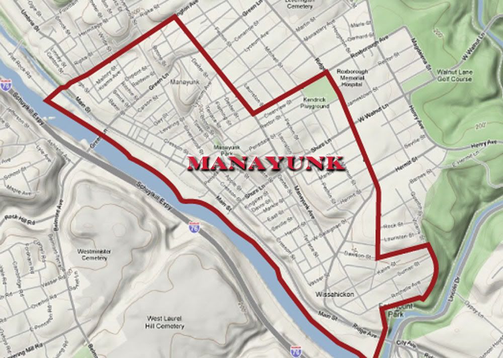
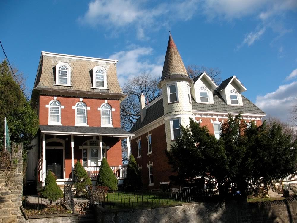
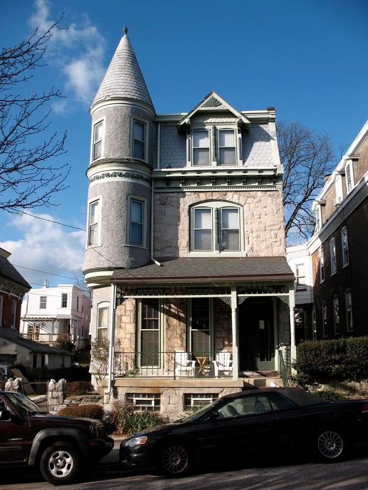
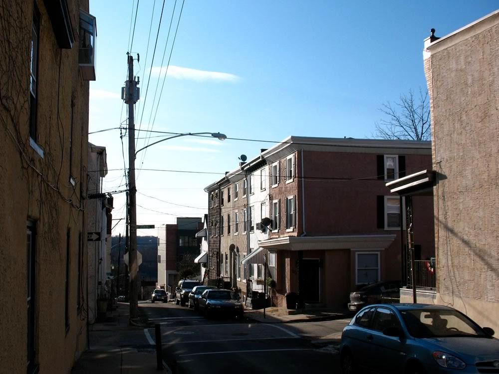
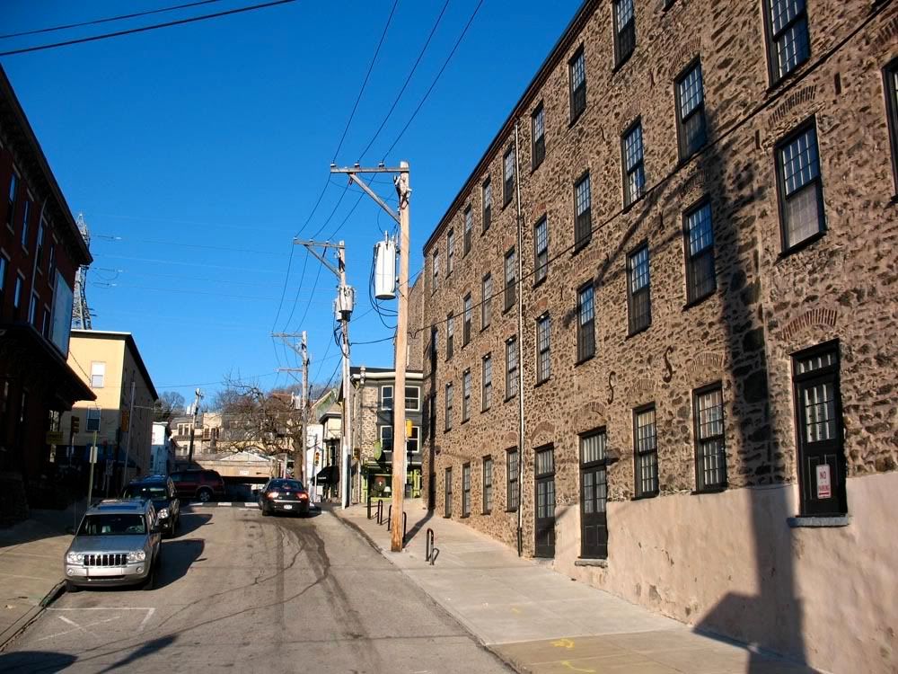
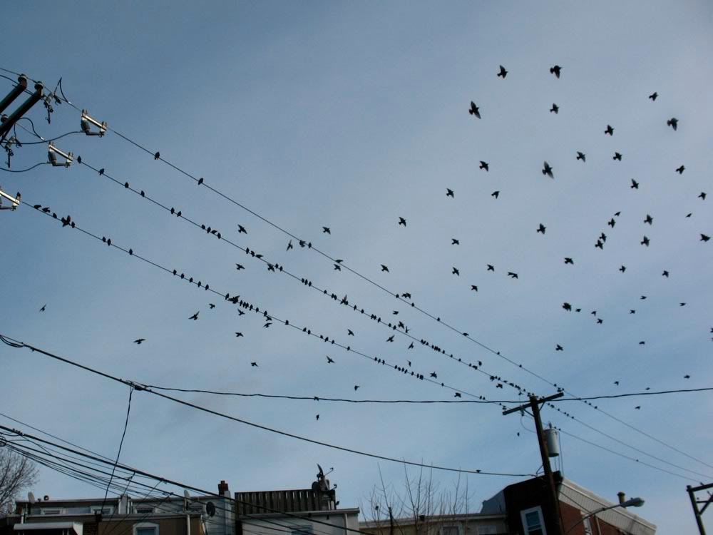
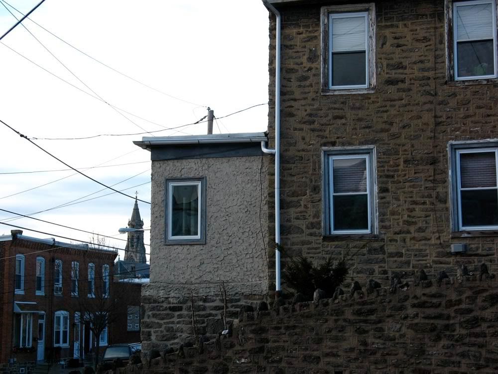
Most of Philadelphia, from the far Northeast to Southwest Philly is pretty flat. The Northwest part of the city and Fairmount Park are the hilly part of Philly. Manayunk provides ample opportunities for the urban hill climber. The reward for trudging up Manayunk's steep streets is a breathtaking view of the Schuylkill River and surrounding neighborhood below. The word Manayunk comes from the Lenni Lenape word for the Schuylkill River, meaning
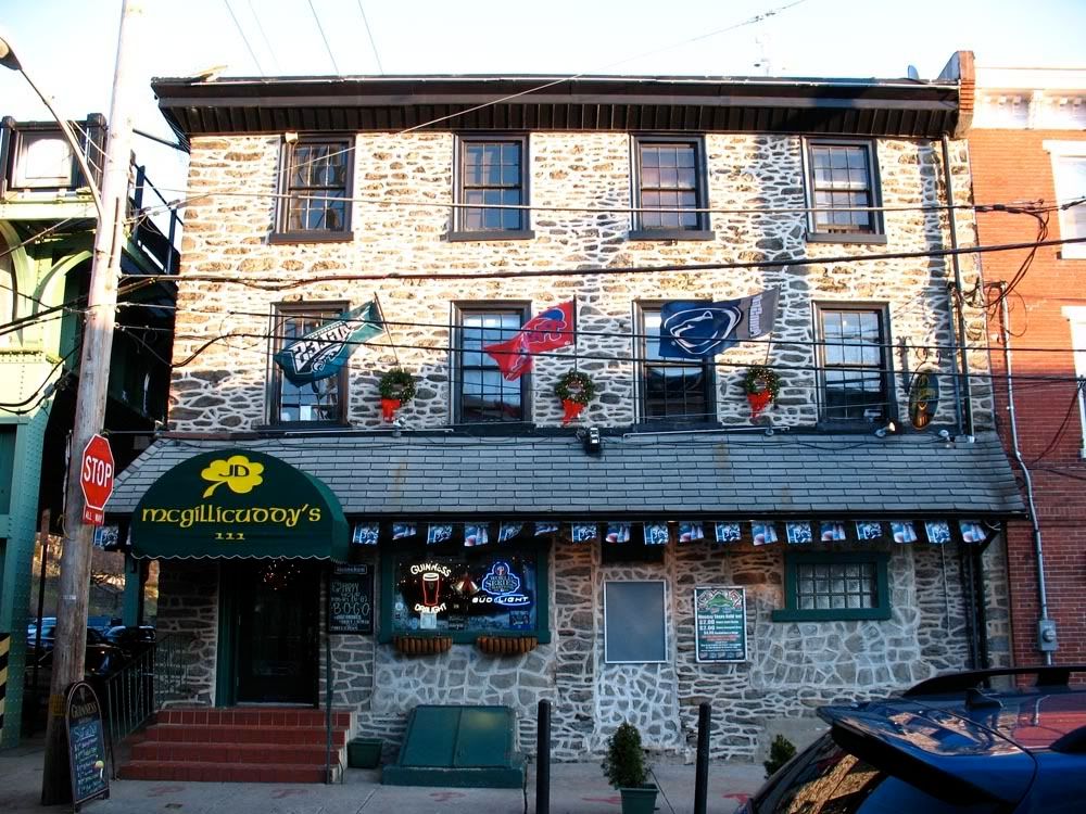
"where we go to drink", is appropriate when you consider the number of watering holes that line trendy Main Street and well as the numerous corner pubs in the residential sections. Most of Manyunk's visitors stick to Main Street or a stroll on the Schulkill Canal. But the real Manayunk is far more rewarding, if not exhausting. So put on your hiking boots, this is the real Manayunk, punk.
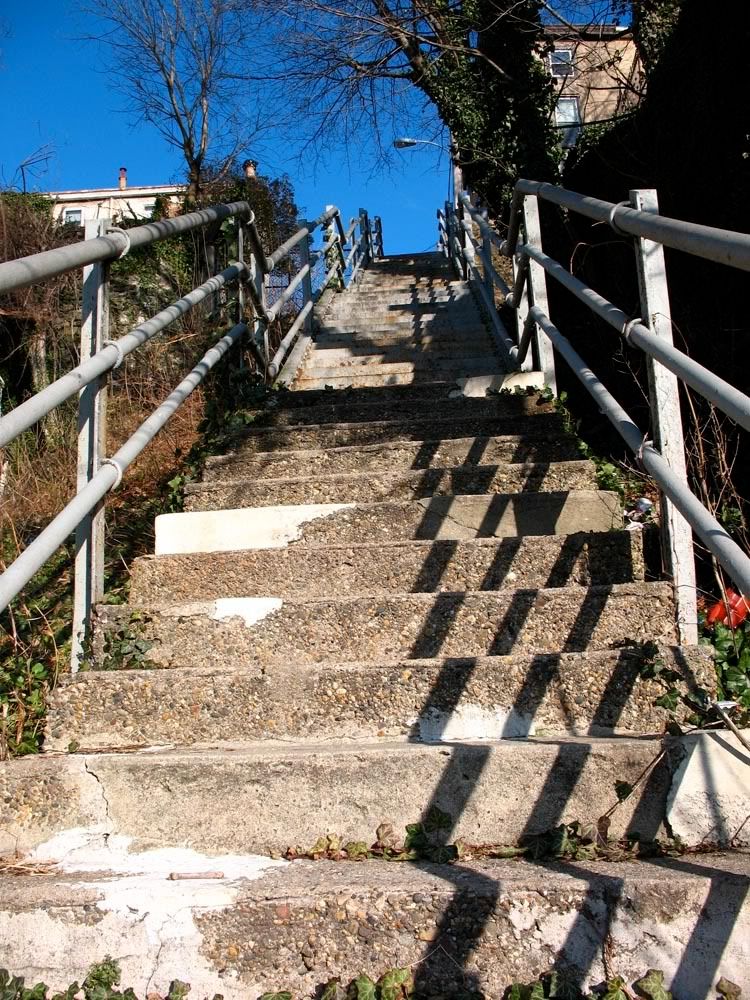
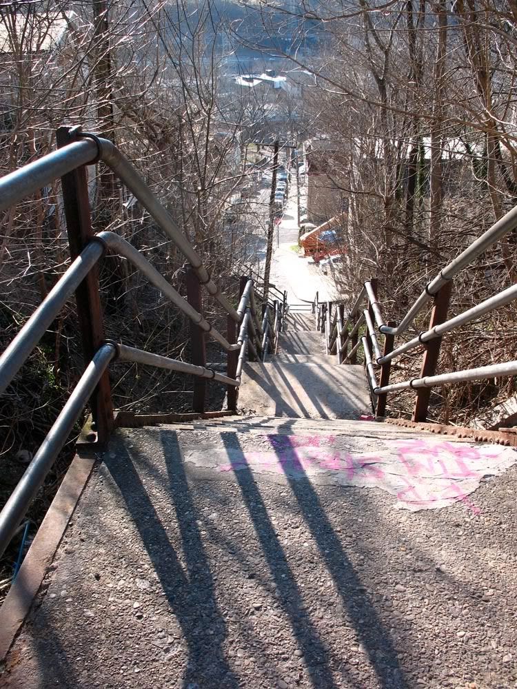
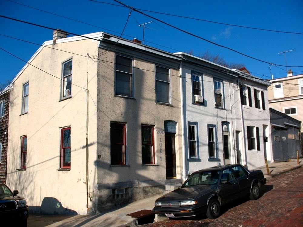
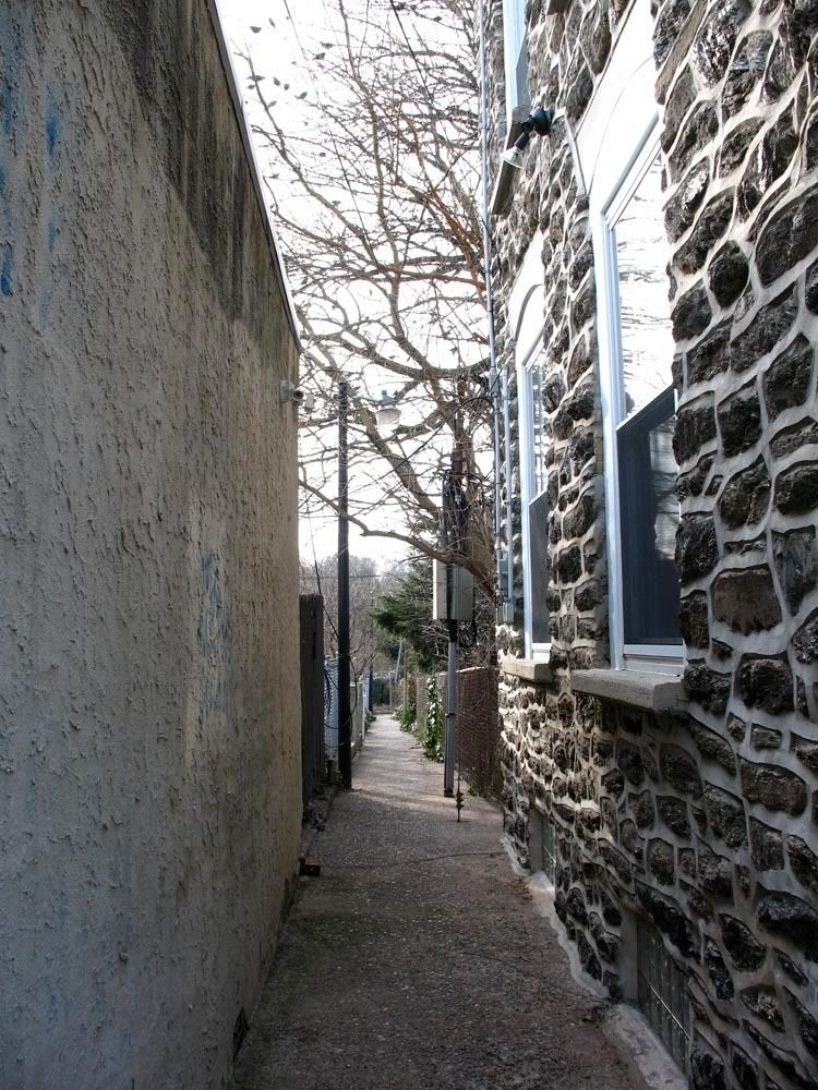
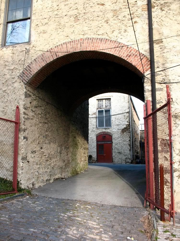
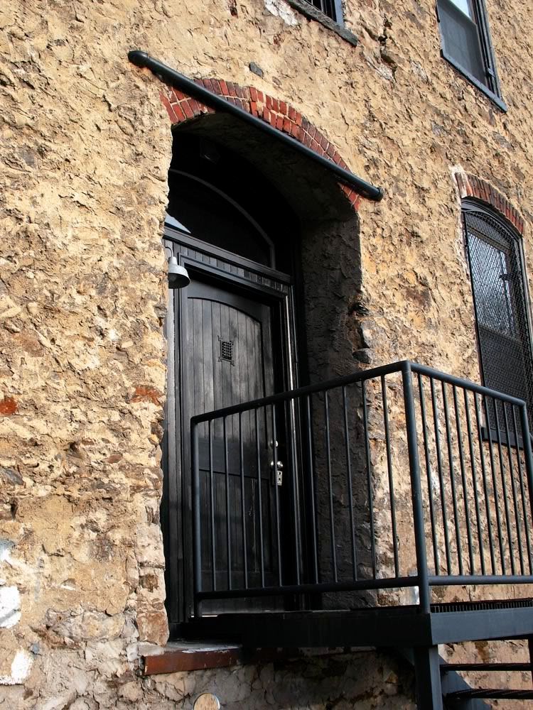
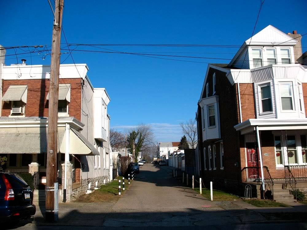 Looking up Lofty Street
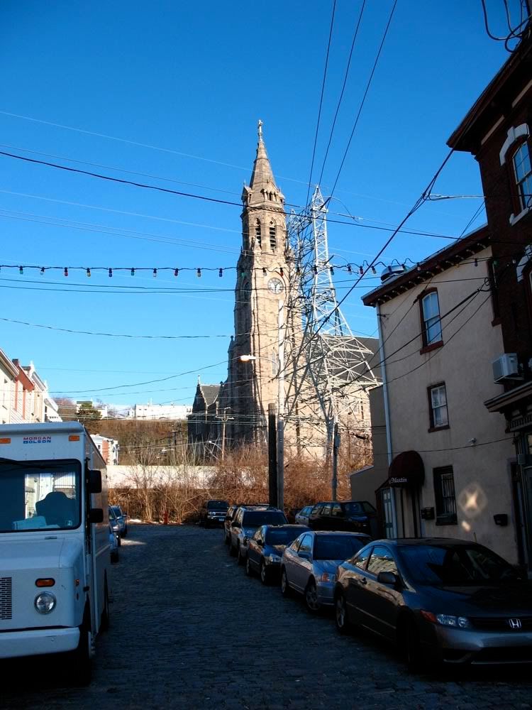
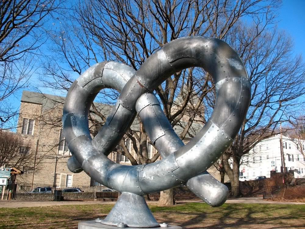
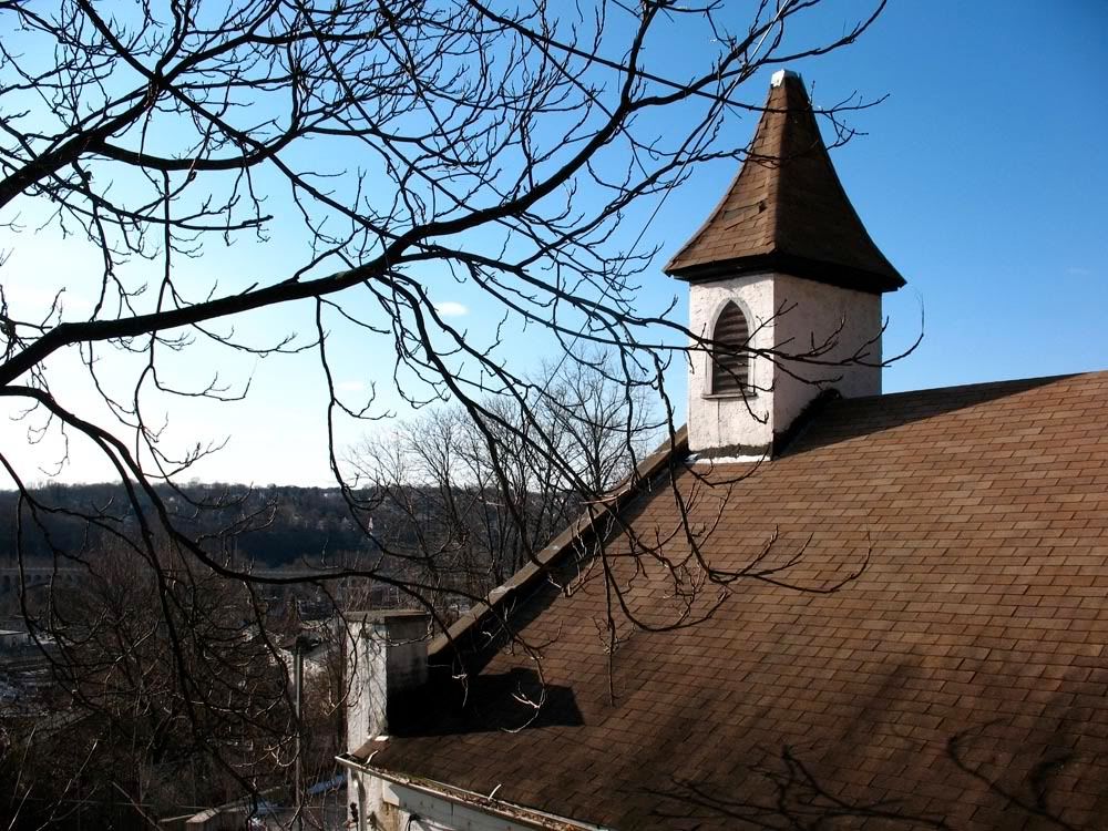
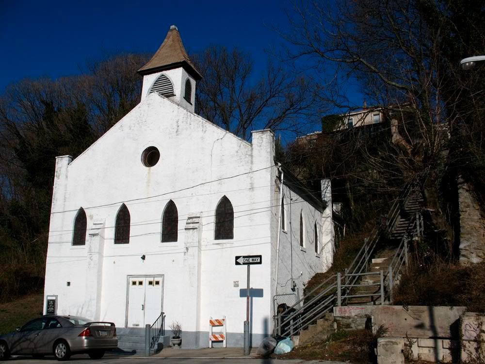
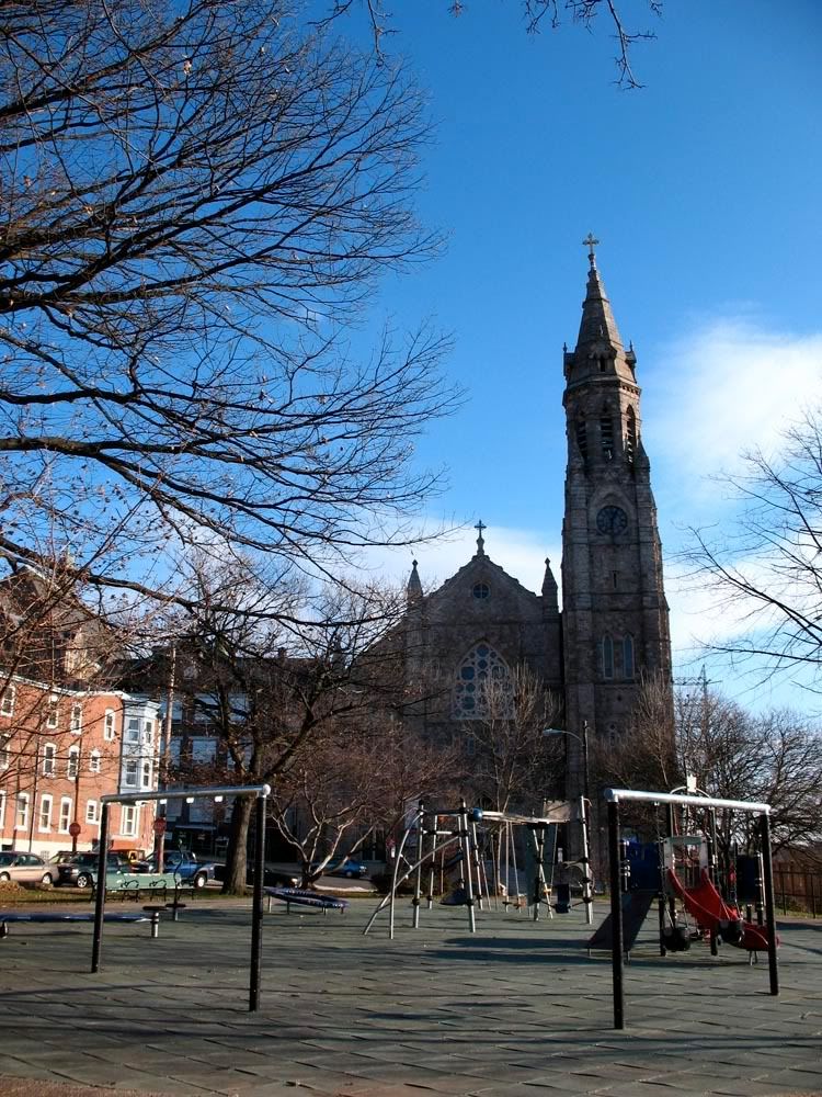
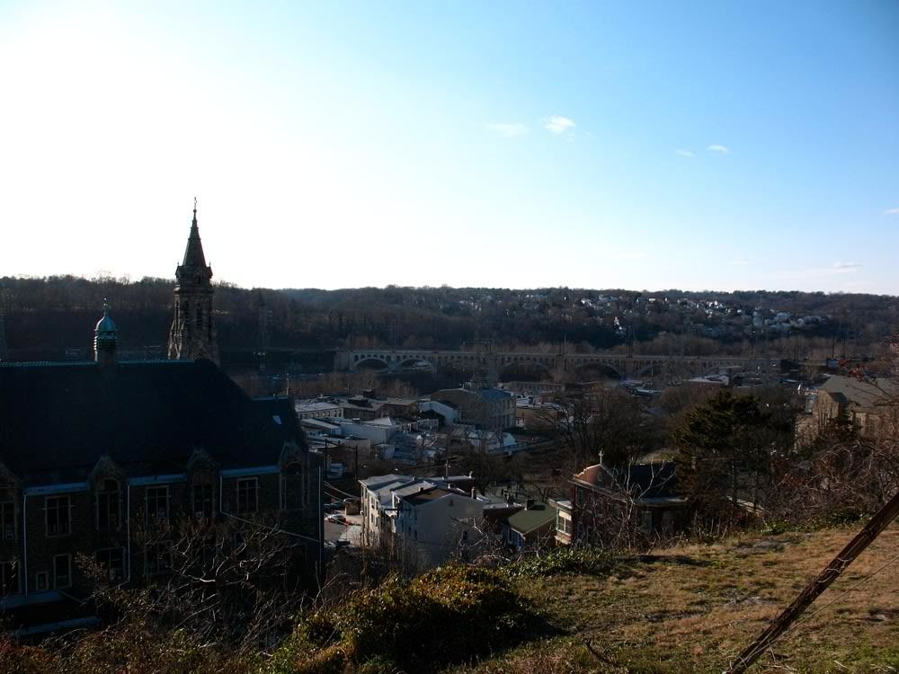
 St. John the Baptist Roman Catholic Church (1894) and Pretzel Park in the foreground.
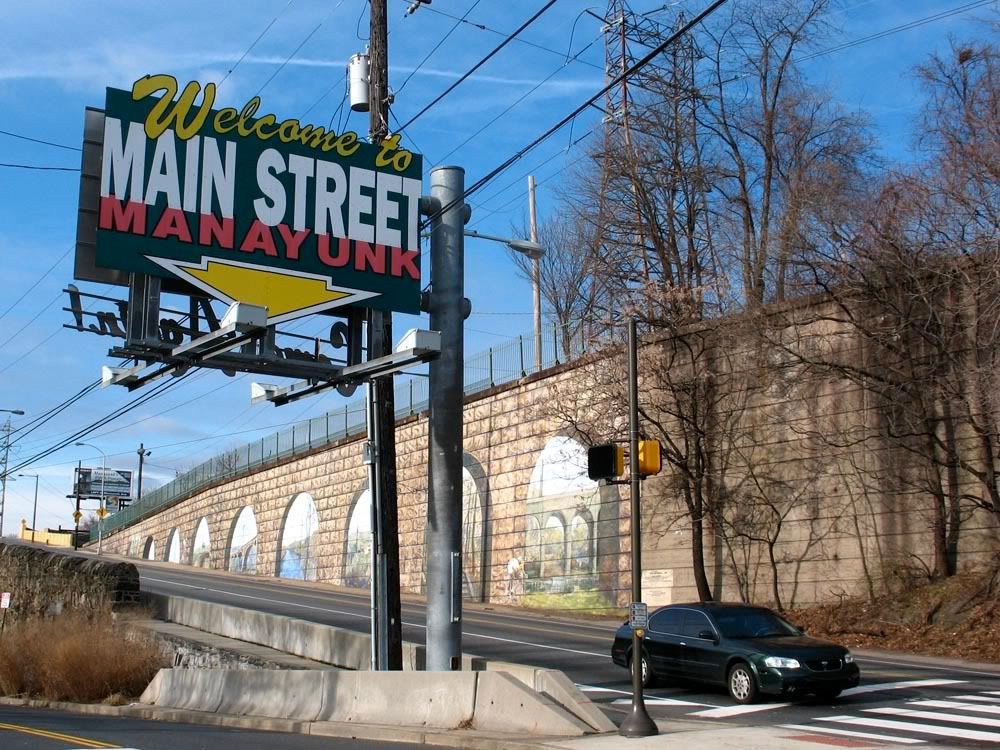
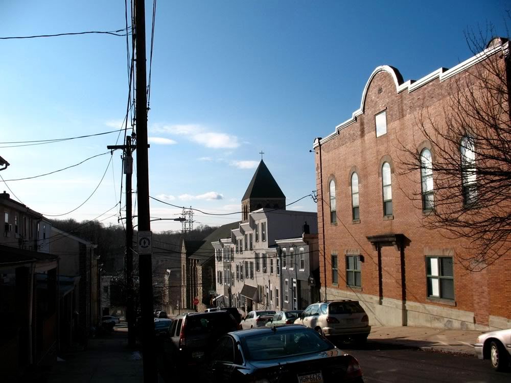
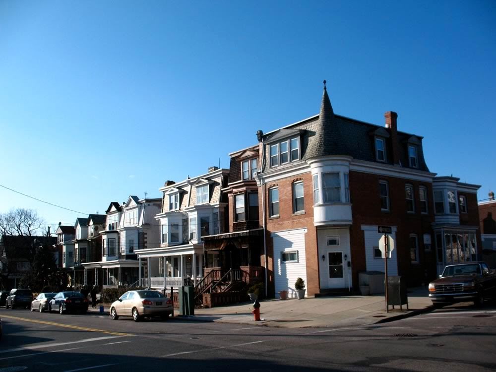
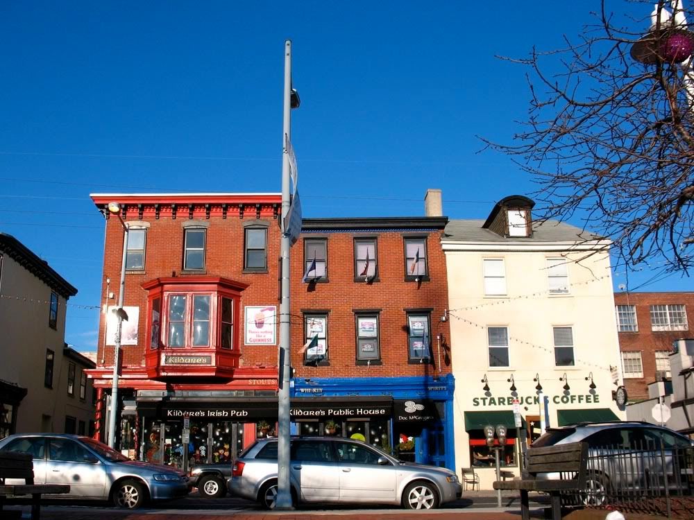
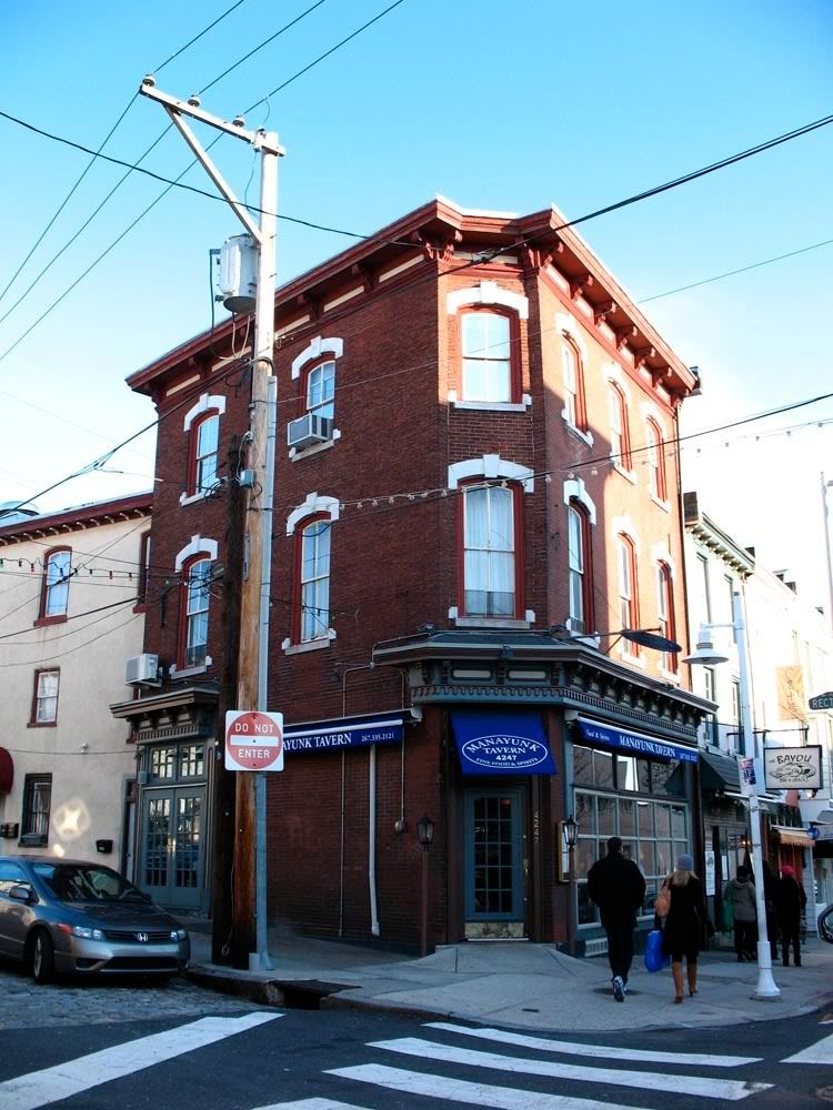
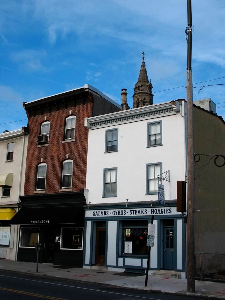
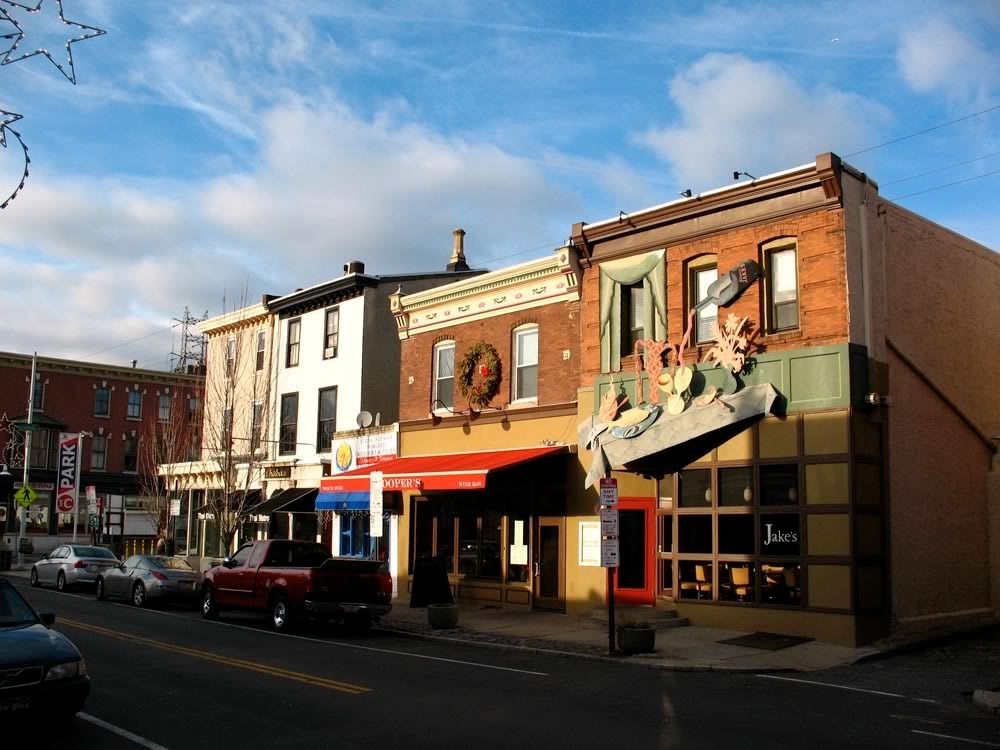
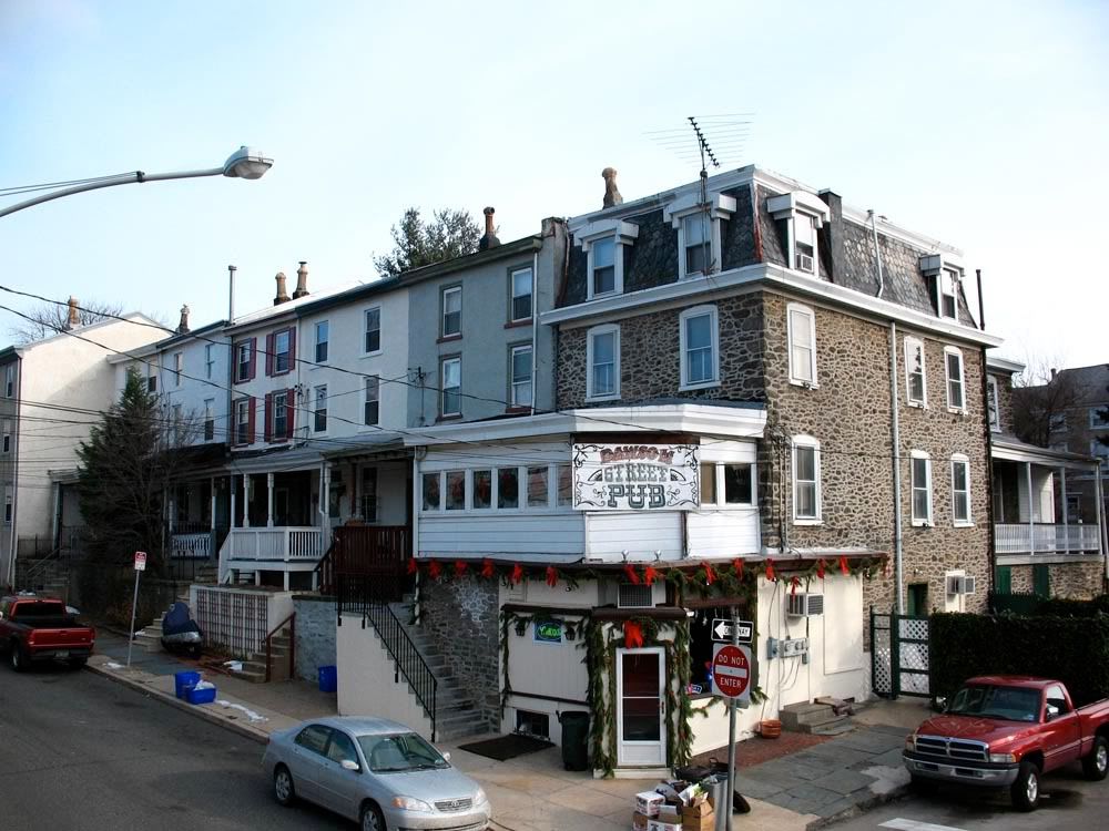
 Main Street
Main Street is Manayunk's commercial district. Here you can find any trendy trinket, nosh or accoutrement. And this is where locals and visitors alike come to drink.
 Detail of the Venice Lofts mimicking the Green Lane Bridge.

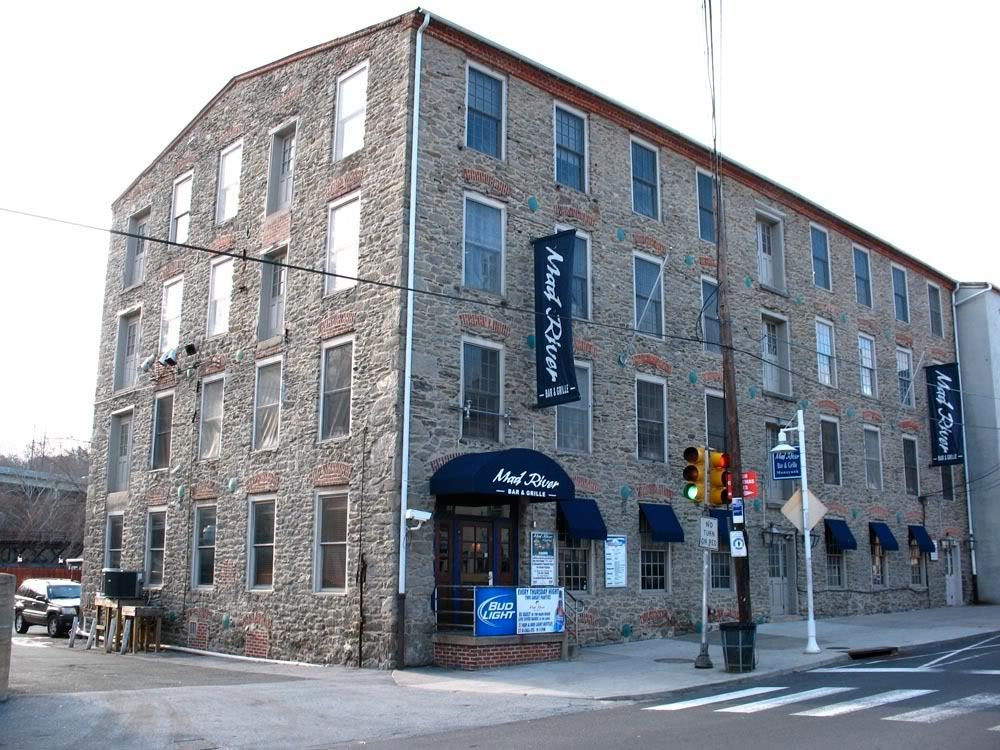
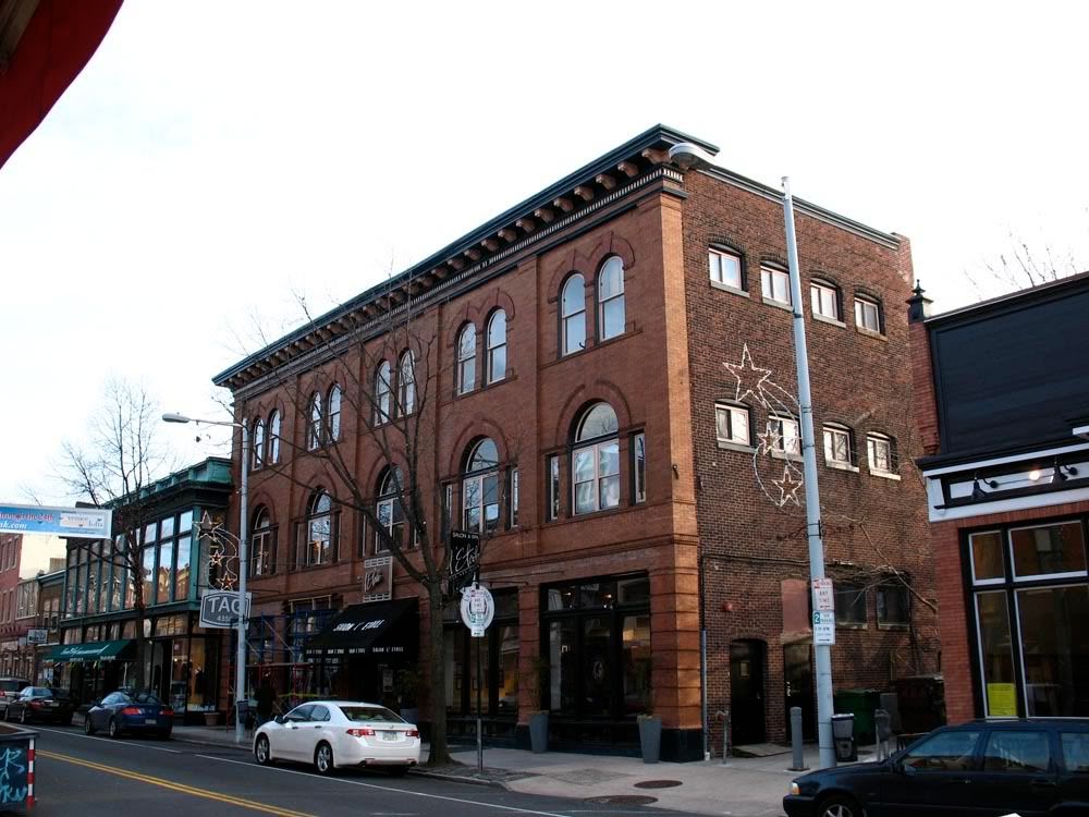
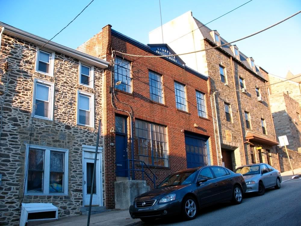
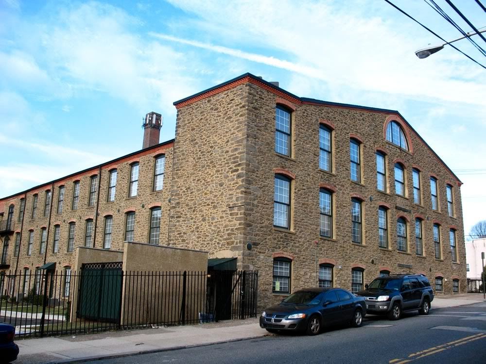
 4100 Main Street, Mad River, formerly Dexter Mills.
 c. 1840
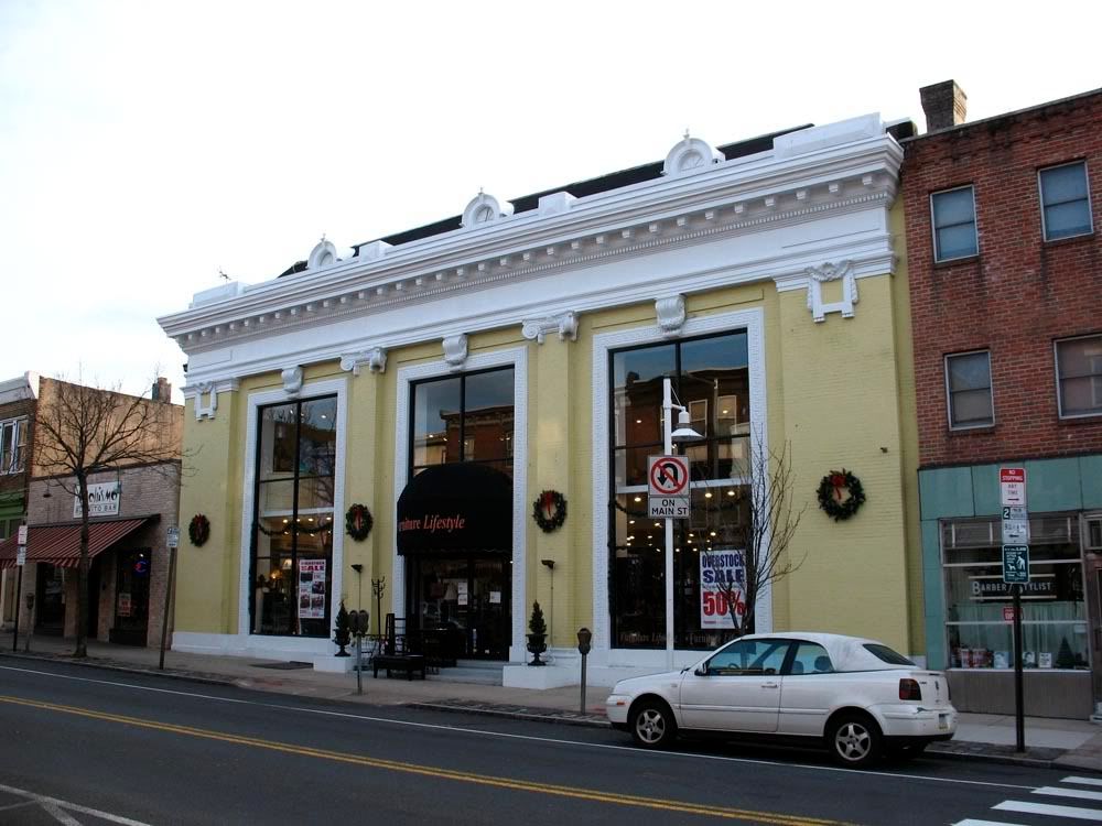
 4340 Main Street, formerly Manayunk Trust.

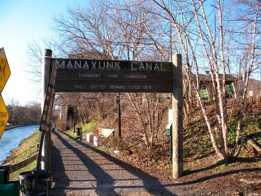
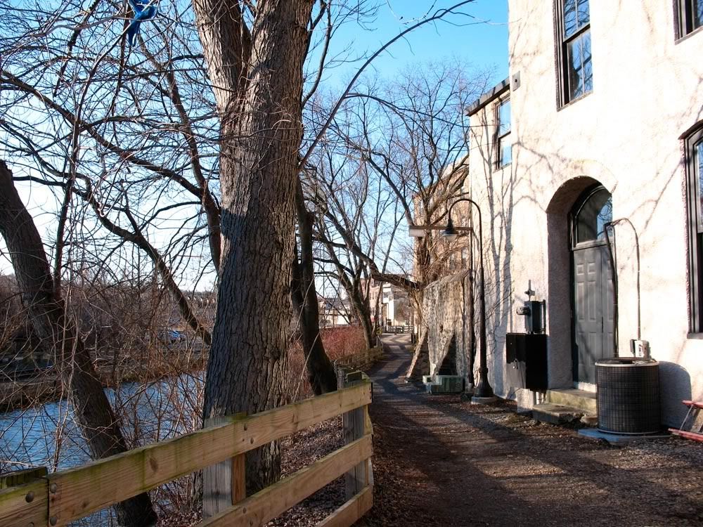
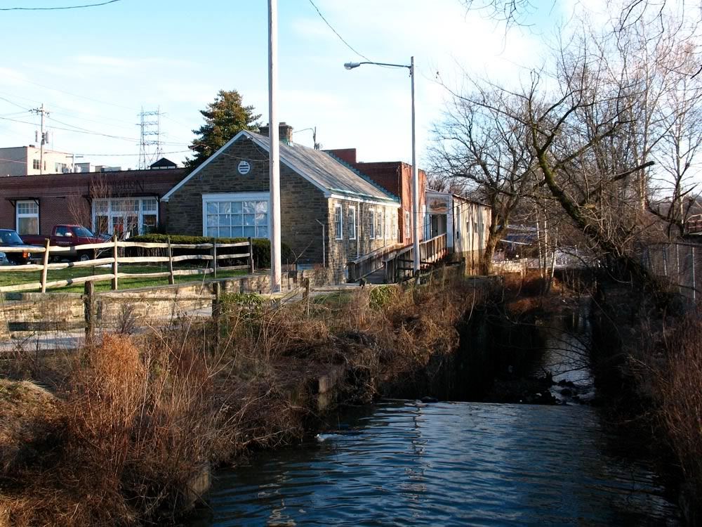
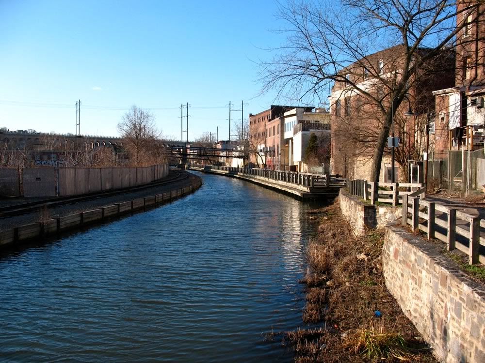
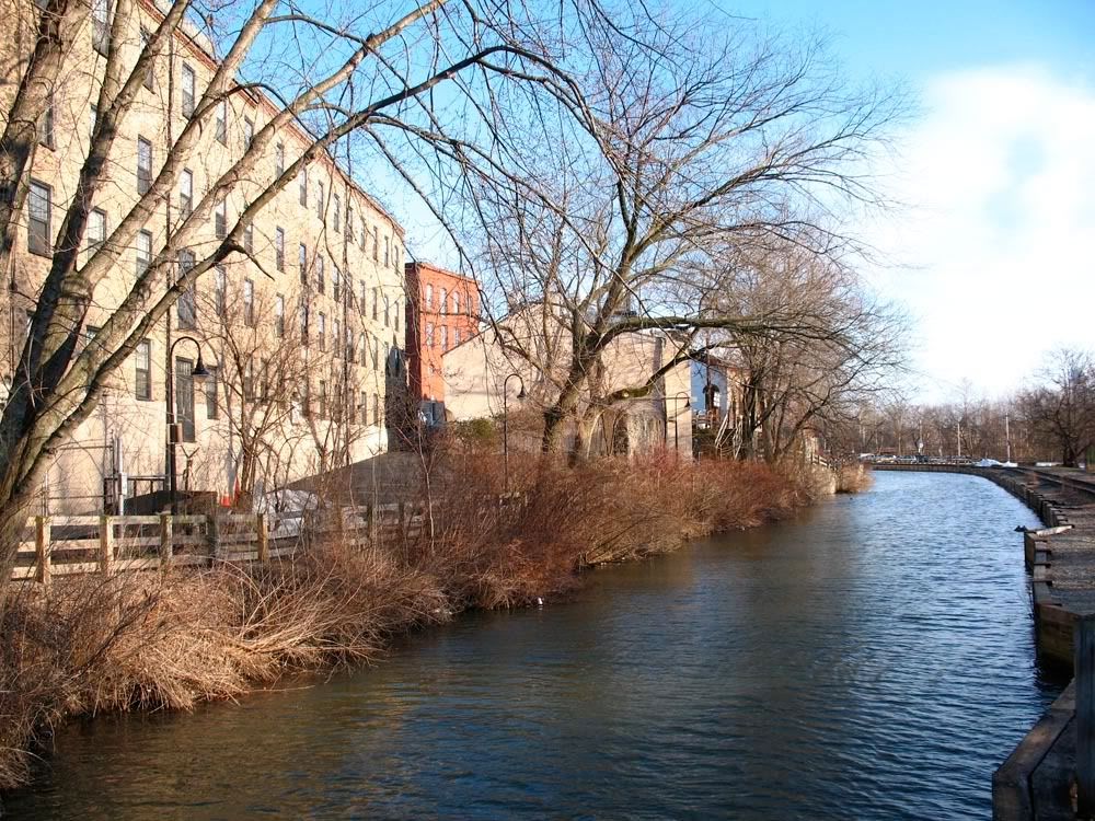
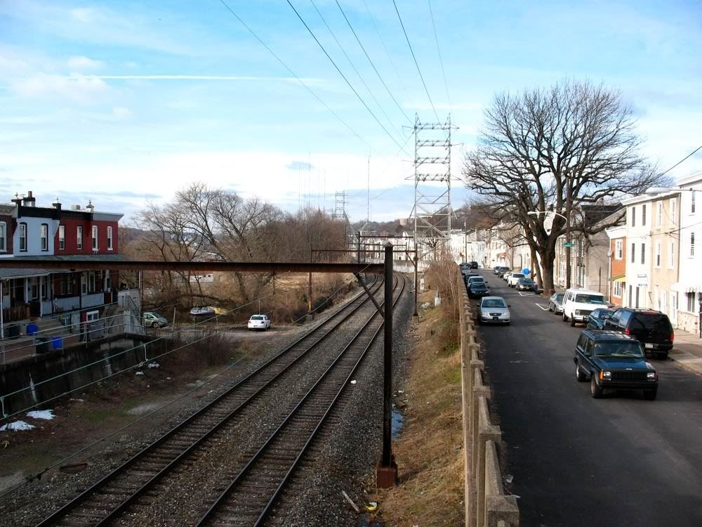
 The Manayunk Canal Towpath
Part of the Schuylkill River Trail that connects Philadelphia to Valley Forge.
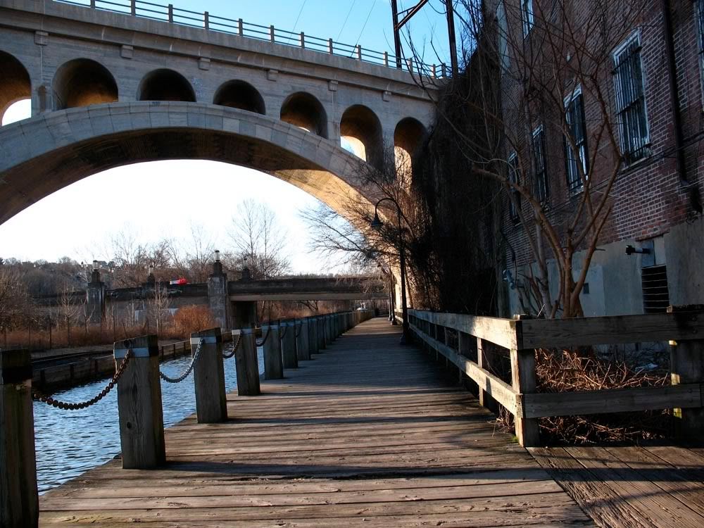
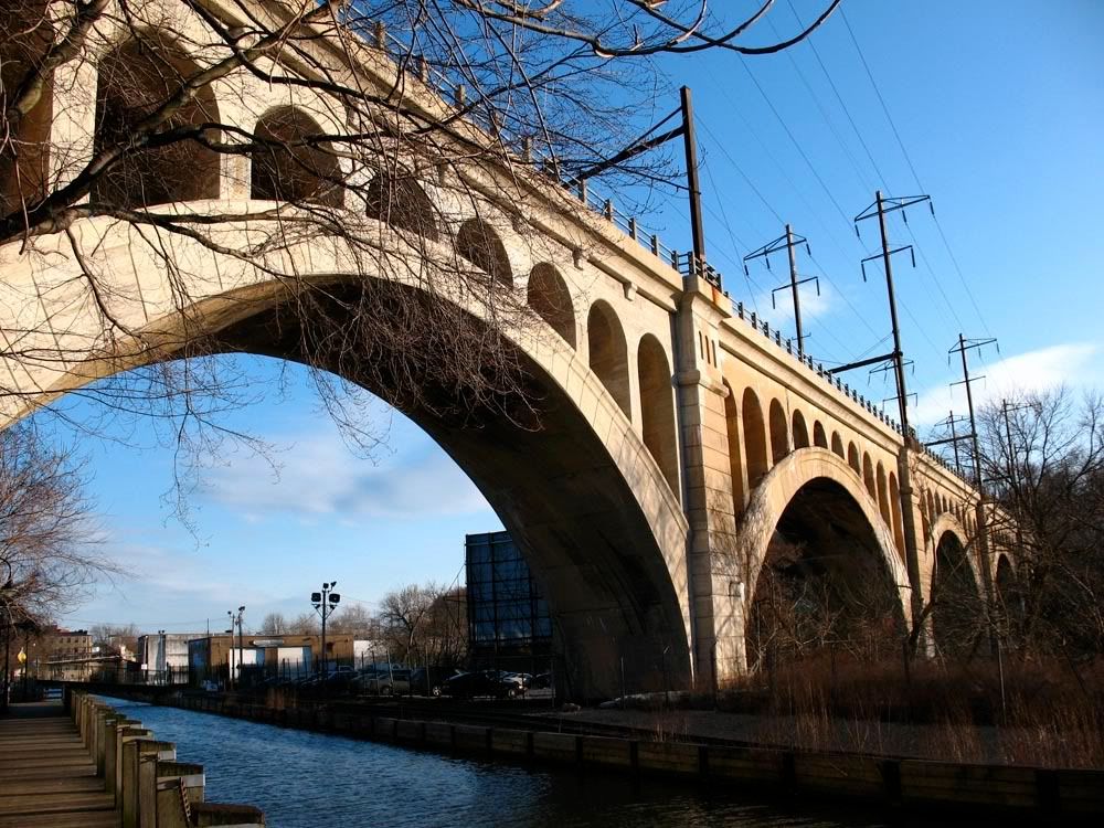
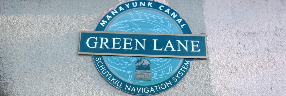
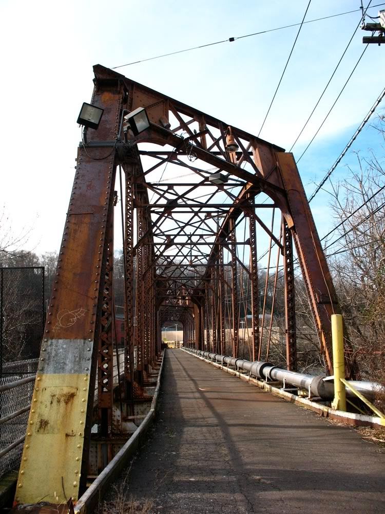
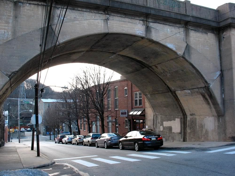
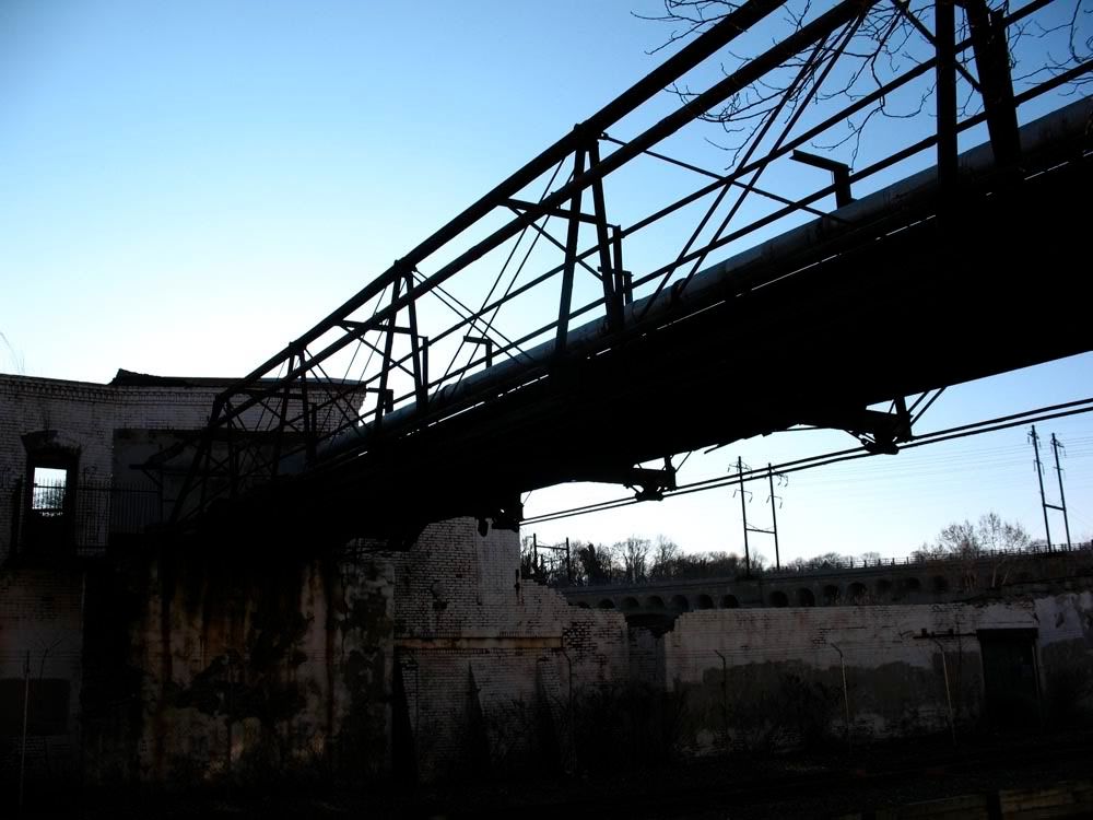 The iconic Green Lane Bridge
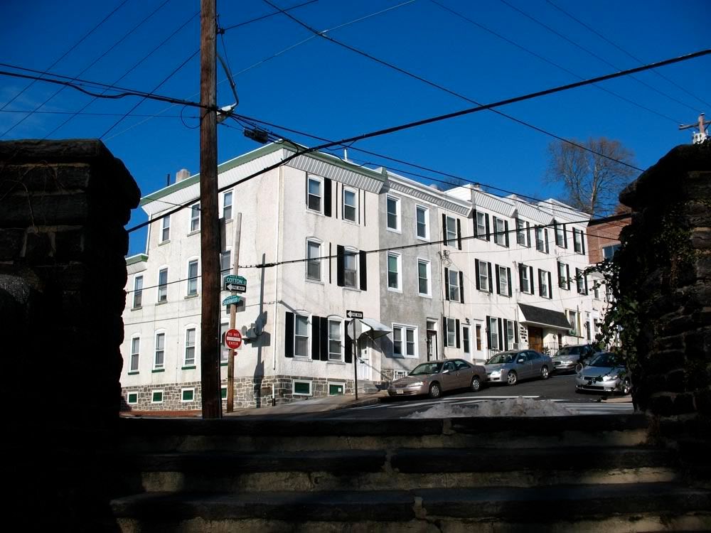
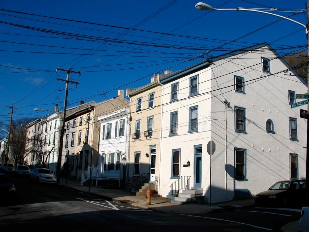
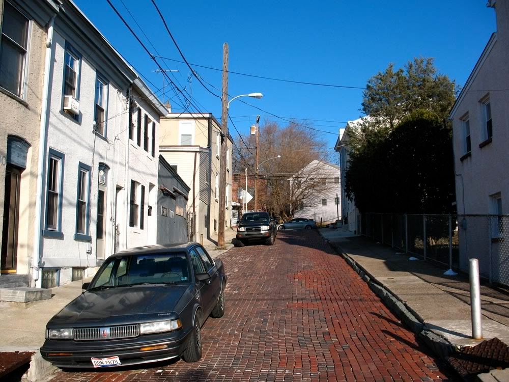
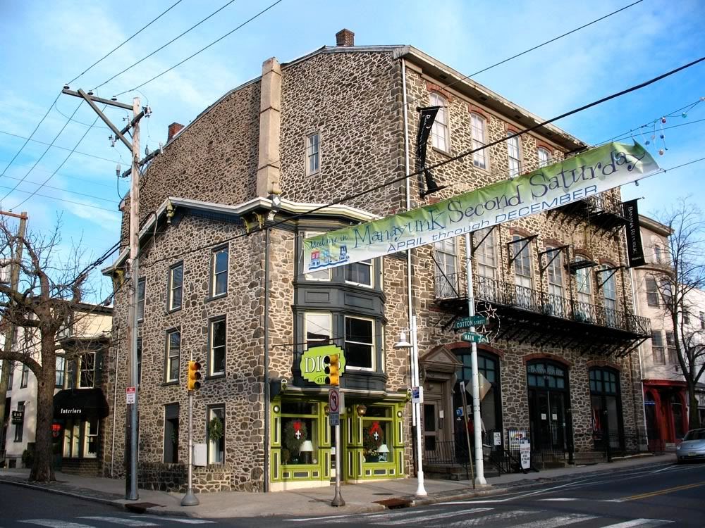
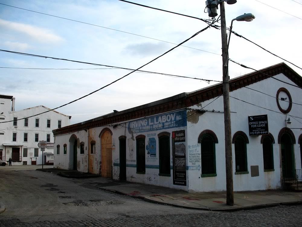
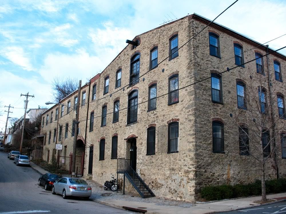
 Looking up Cotton Street, the former Blantyre Mills Building on right.
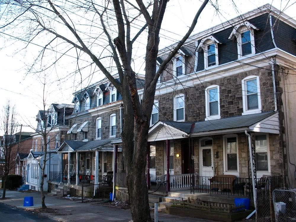
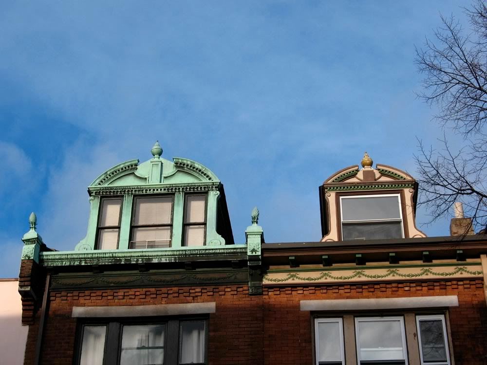
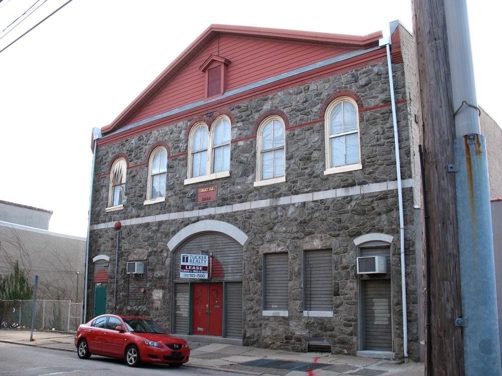
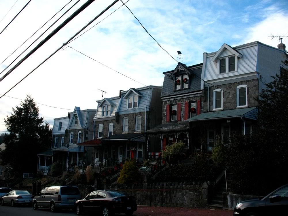
 Terrace Hall (1888)
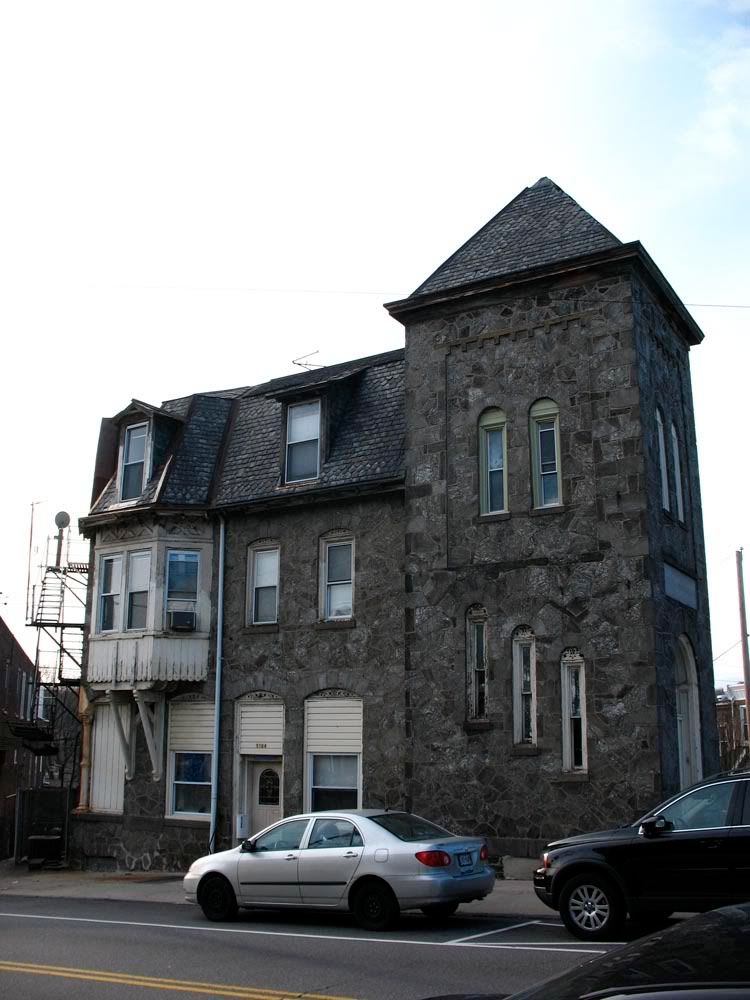
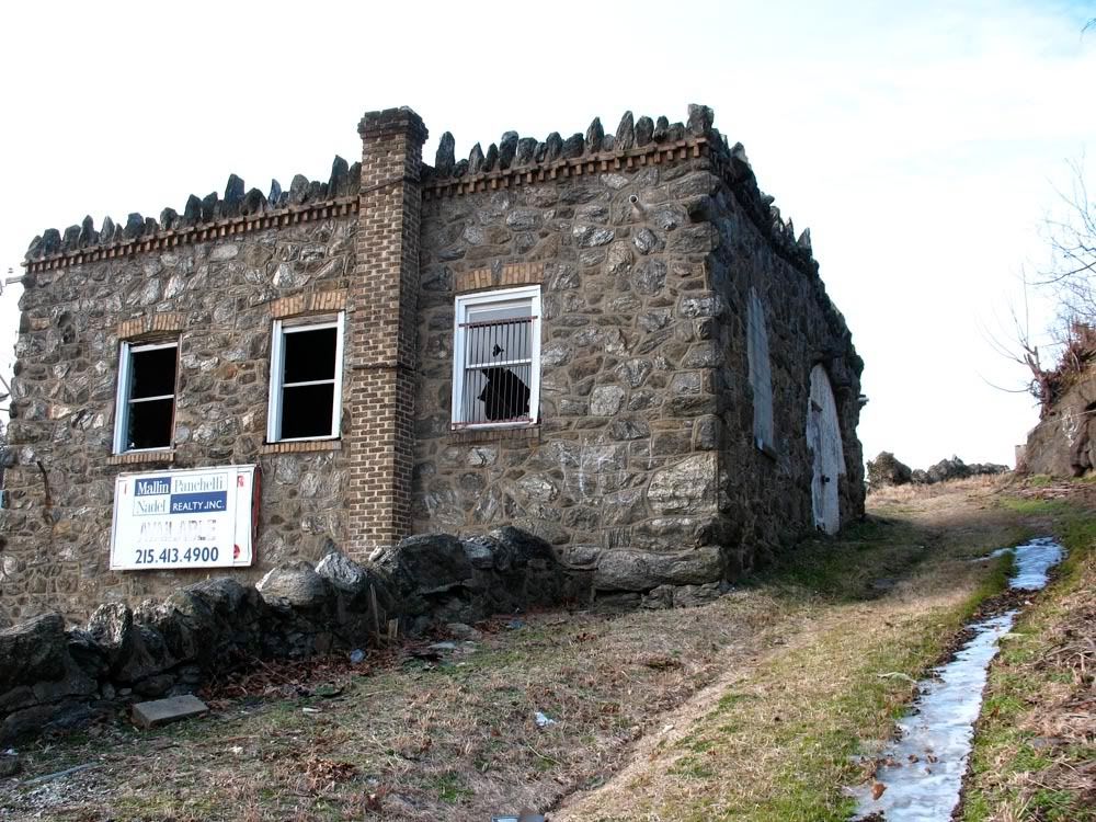
 St. Timothy's Working Men's Club and Institute
Built:
St. Timothy's Working Men's Club and Institute
Built: 1877
Location: 5164 Ridge Avenue
Architect: Charles M. Burns (
excellent)
Style: Gothic Revival
Named for its benefactor, St. Timothy's Church (8230 Ridge Avenue), the club once boasted of a library, reading room, billiards, a game room and even had its own baseball team. It ceased operations shortly after the 20th century.
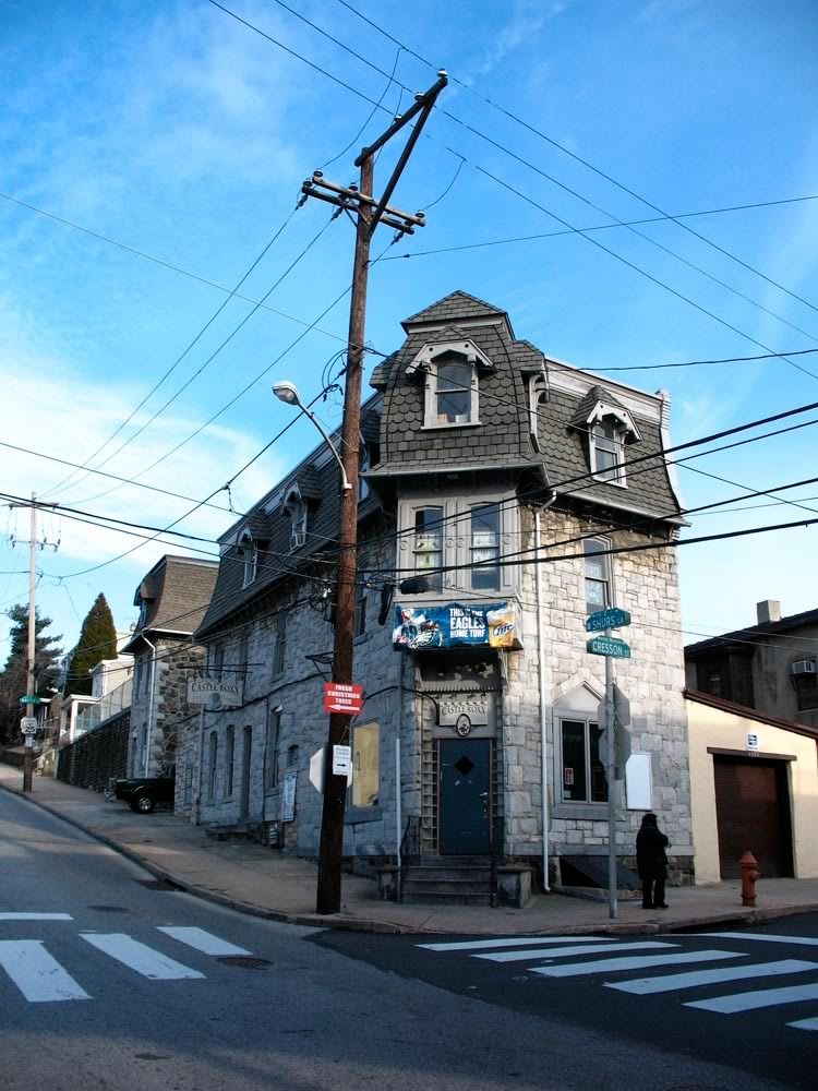
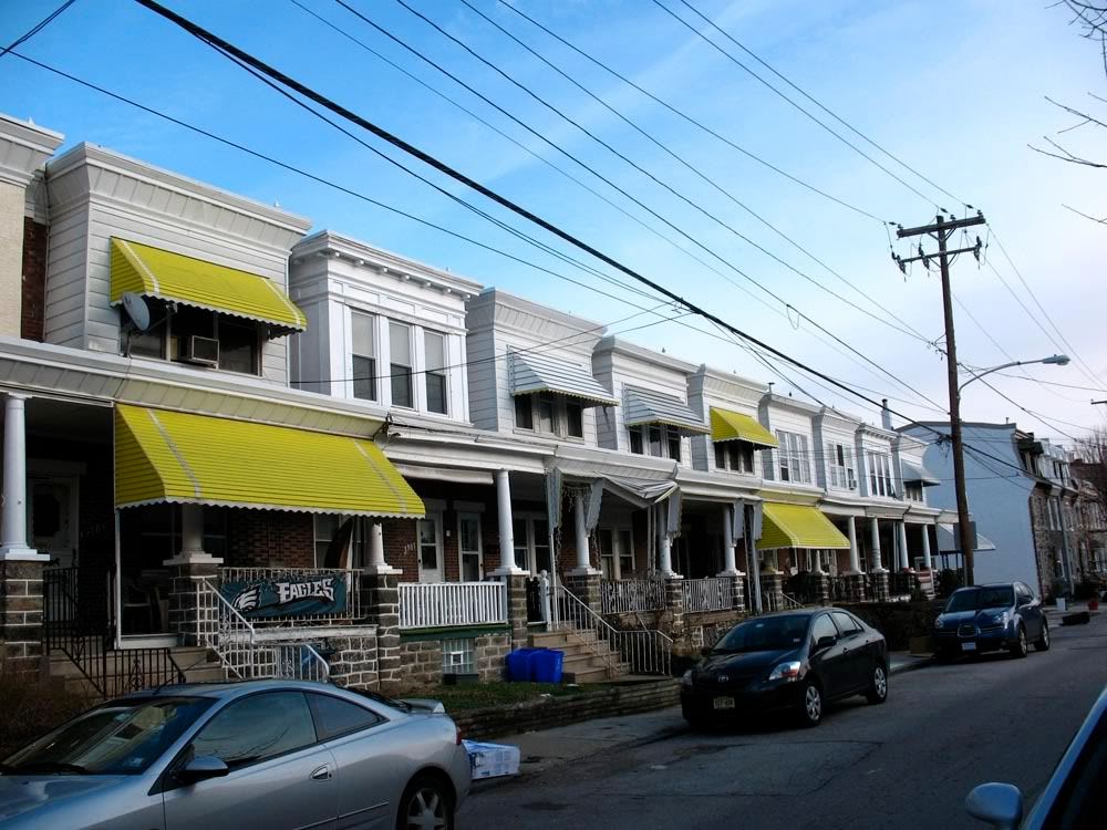
 Looking down Shurs Lane towards Main Street, a good view of Manayunk's steeper streets.

 Ciao from Manayunk
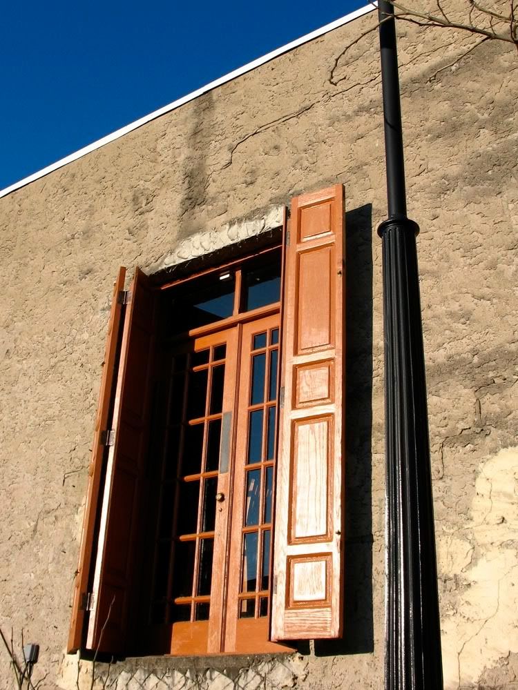


 Prev
Prev


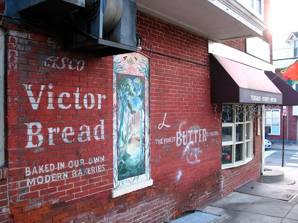
 ). This includes unqiue locations such as the Fountain Street Steps, Union Jack's Tavern, and last but certianly not least, Marchiano's Bakery

 Linear Mode
