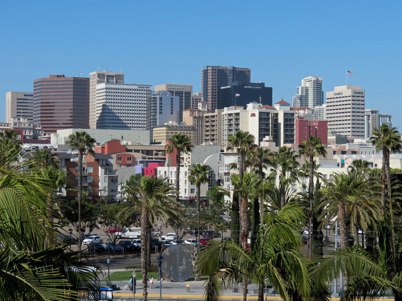
San Diego is the 8th largest city in the United States by population (1,355,000) and is by far the largest city of the San Diego-Carlsbad Metropolitan Statistical Area in Southern California (the 12th largest in the United States).
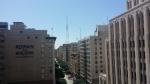
Downtown is located on the Eastern side of San Diego Bay, a natural harbor that is about 13 miles long and averages about 1 mile wide. A bend in the bay's shoreline embraces the Western and Southern boundaries of downtown, while a bend in the Interstate Freeway #5 creates the Eastern and Northern boundaries. It is about 1.5 miles from East to West and 1.3 miles from North to South. The terrain is mostly flat, with gradual slopes up from the shoreline, reaching a steeper incline in the Northeast corner at the area called Cortez Hill. Downtown has a wide variety of uses and structures, and is a lively and attractive place in comparison to its condition before the developments of the past 25 years.
This thread will focus on the features of downtown's waterfront on San Diego Bay, in two parts. Part 1 will begin at San Diego International Airport at the Northwestern edge of downtown and continue South along the waterfront to the bend where the shoreline turns from a North-South direction to a Northwest-Southeast direction. Part 2 will continue Southeast along the waterfront, and then retrace the route a block inland along the rail route that parallels the waterfront and its select features.
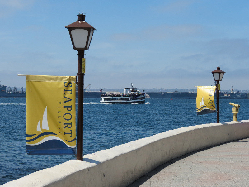
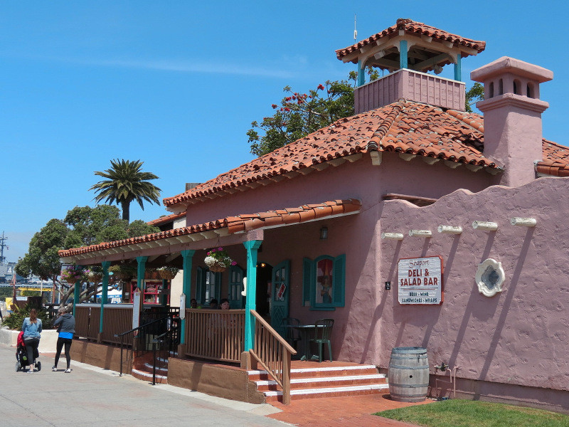
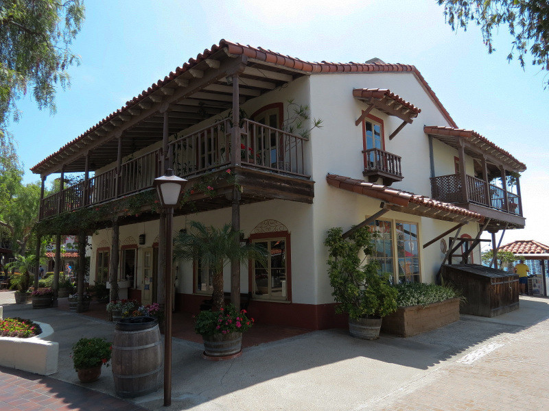
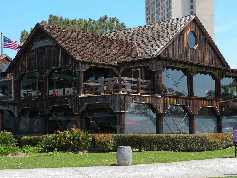
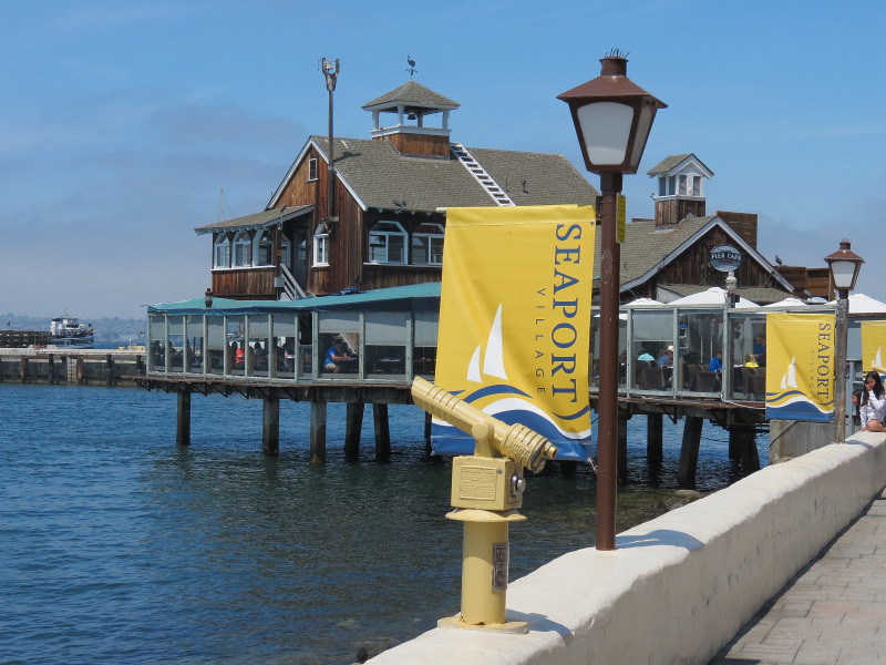
Seaport Village:
This was the first 'recent' development that helped to reclaim downtown's waterfront, opened in 1980. It is an ersatz village of various recreated styles, but remains fairly popular as a touristy shopping and restaurant complex.

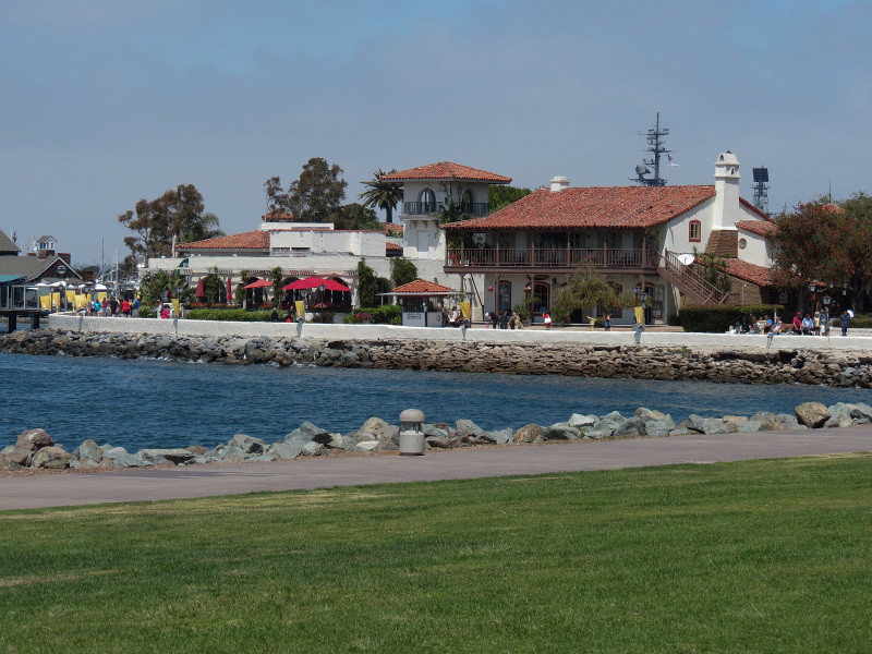
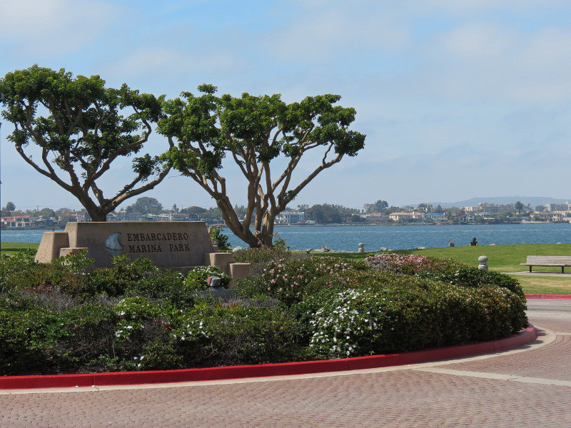
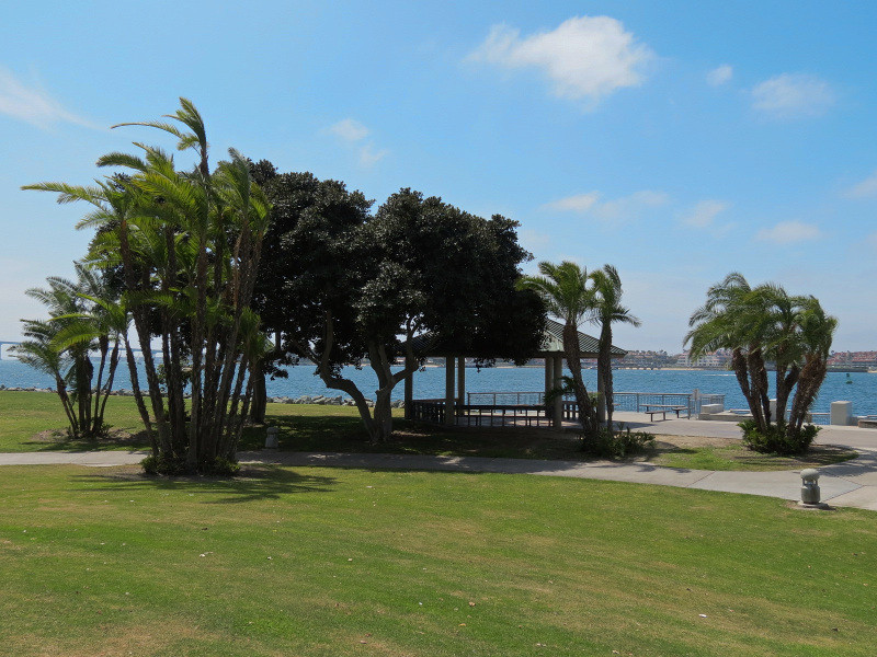
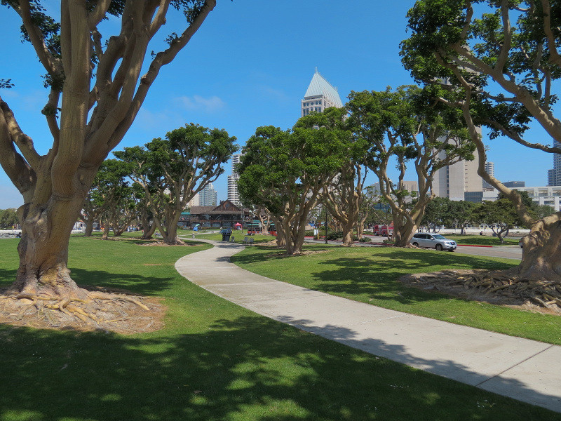
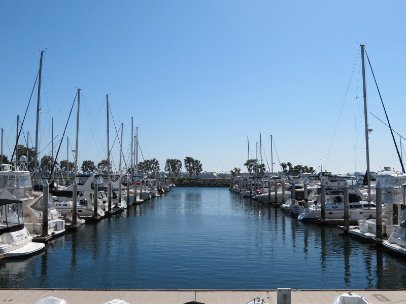
Embarcadero Marina Park North:
This park built on fill in the harbor creates a peninsula that shelters a marina.
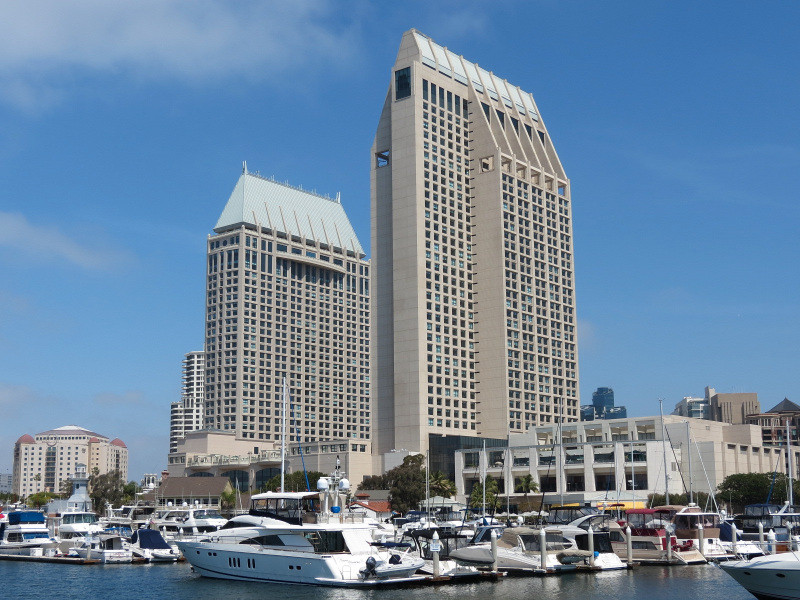
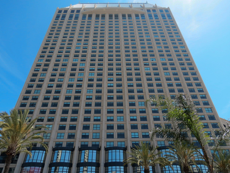
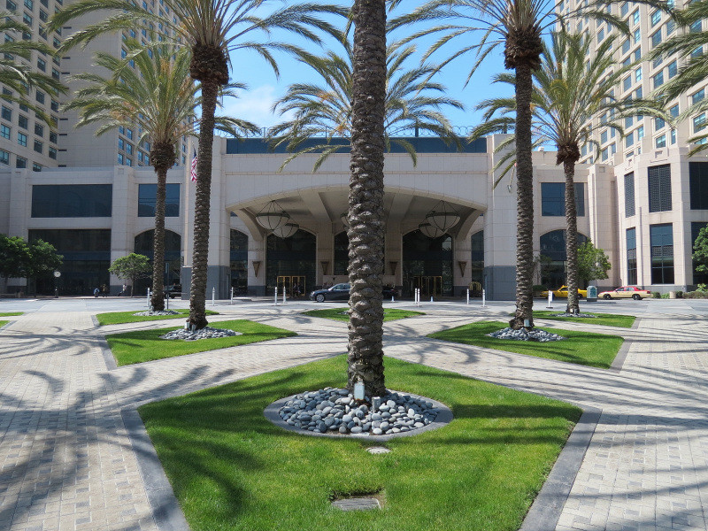
Manchester Grand Hyatt:
On the edge of the marina is this large hotel composed of two towers: the more brutal-looking one from 1992 and the postmodern-looking one from 2003.

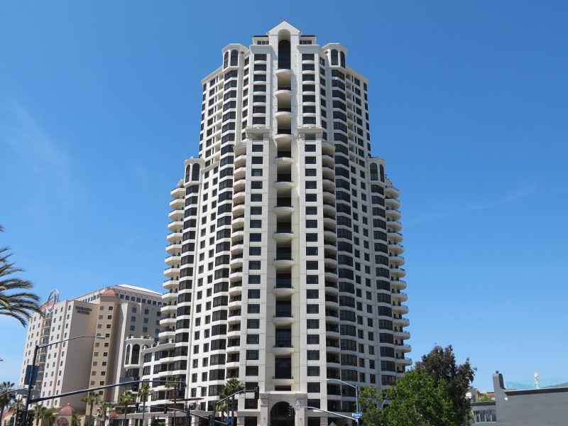
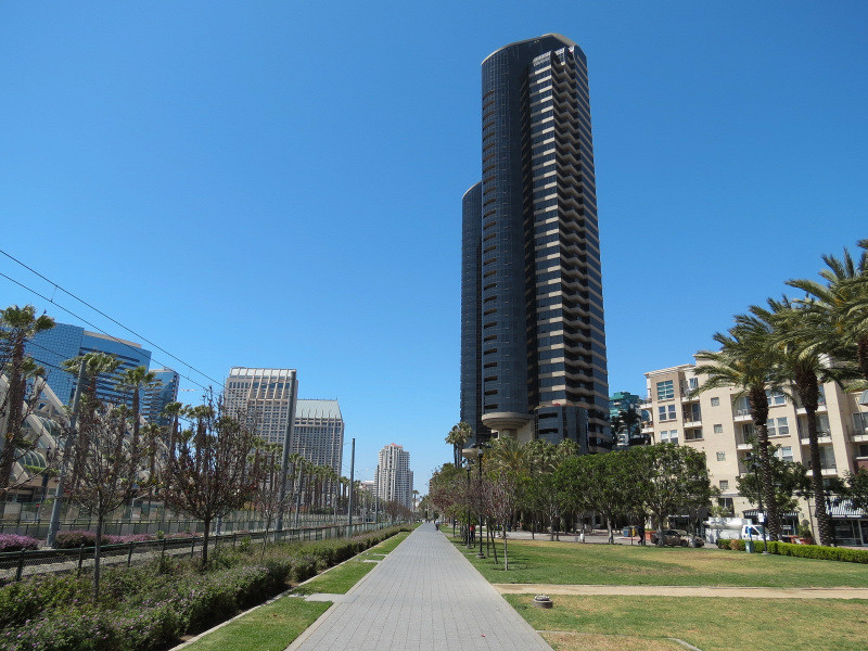
Park Place:
Near the Manchester Grand Hyatt's newer tower is this condo tower, also from 2003.
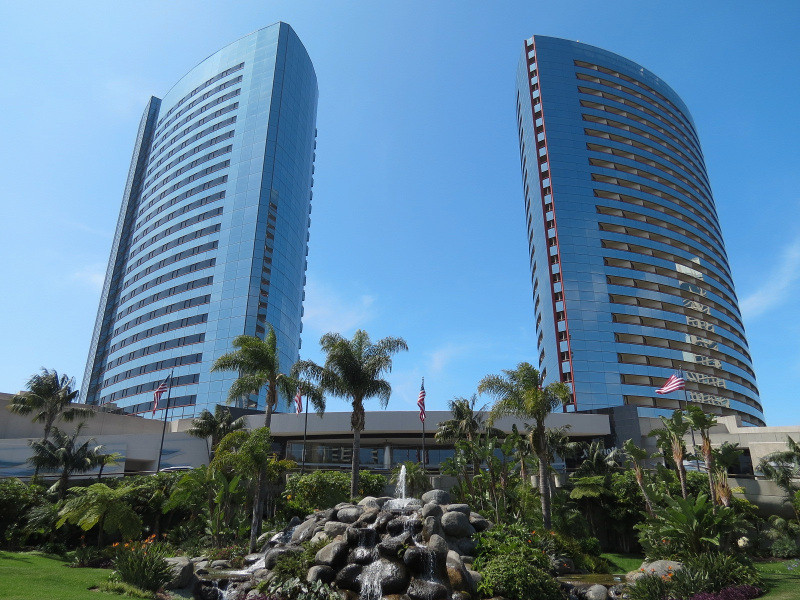
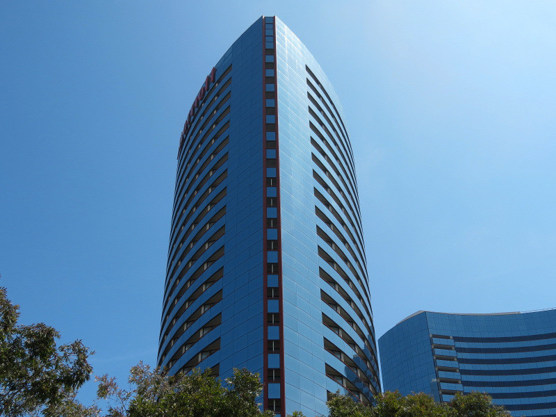
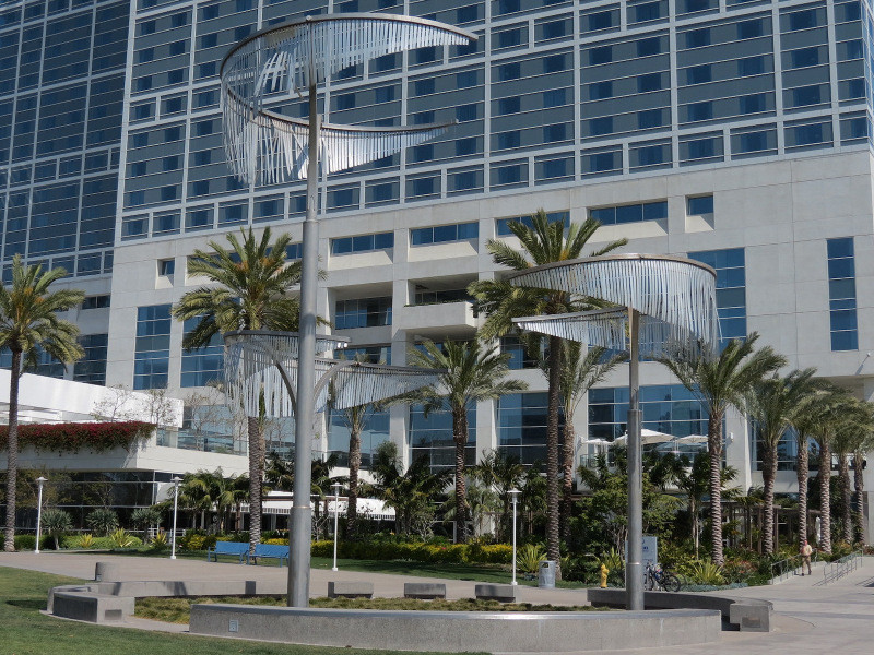
Marriott Marquis San Diego Marina:
This hotel on the marina is composed of two similar but differently-shaped towers, completed in 1984 and 1987.


Embarcadero Marina Park South:
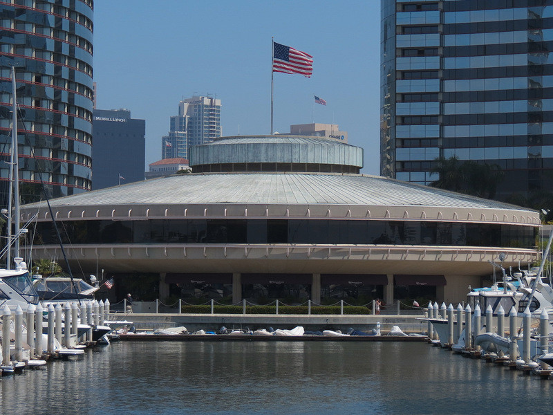
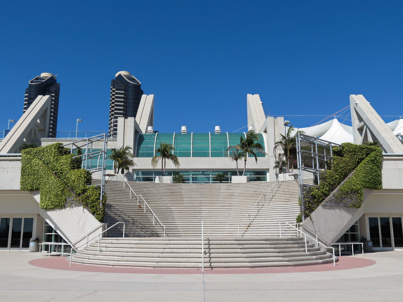
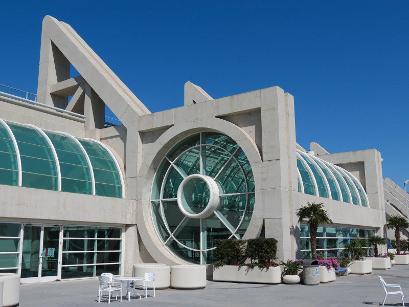
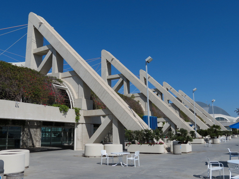
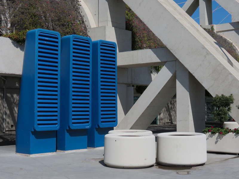
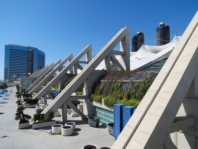
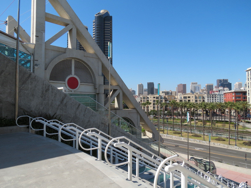
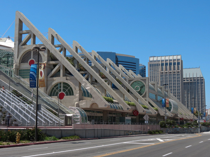
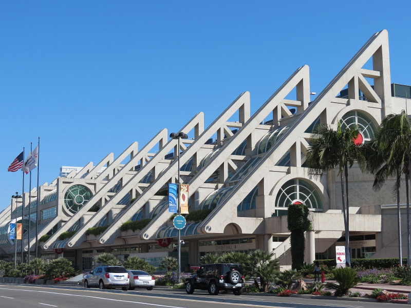
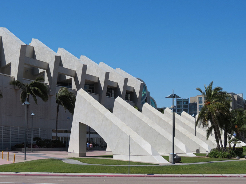
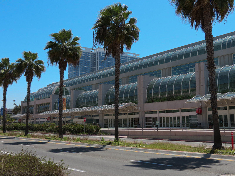
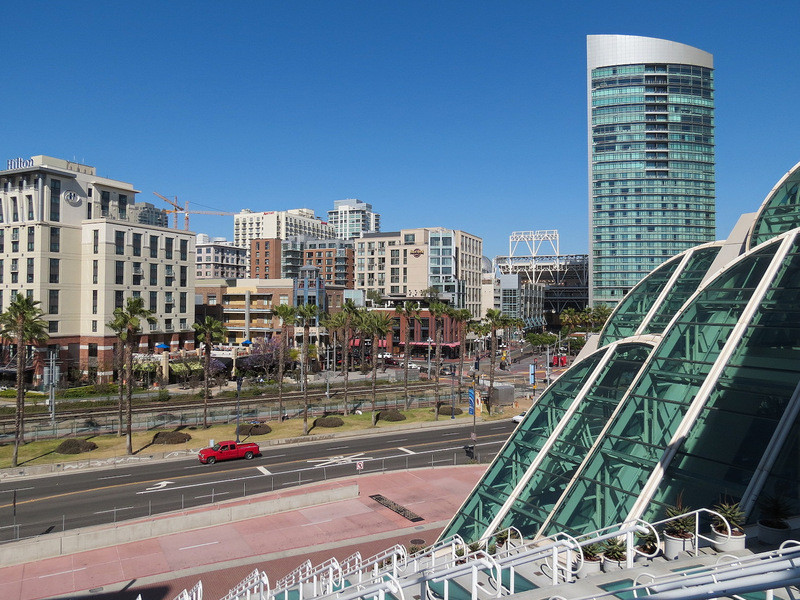
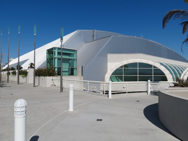
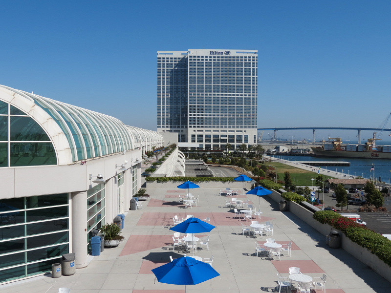
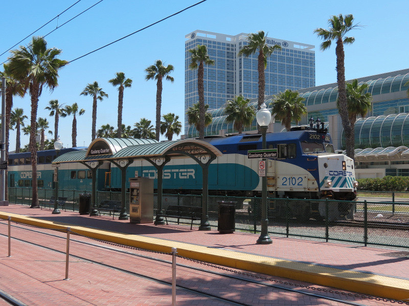
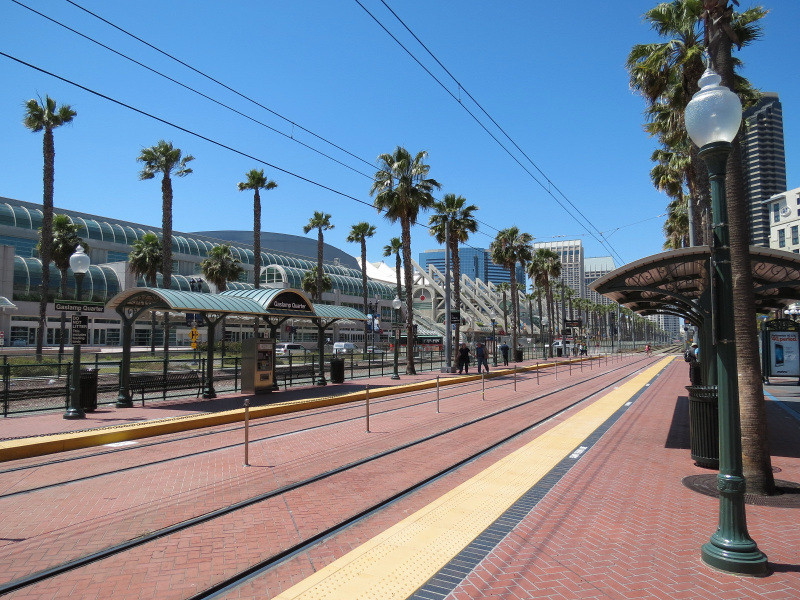
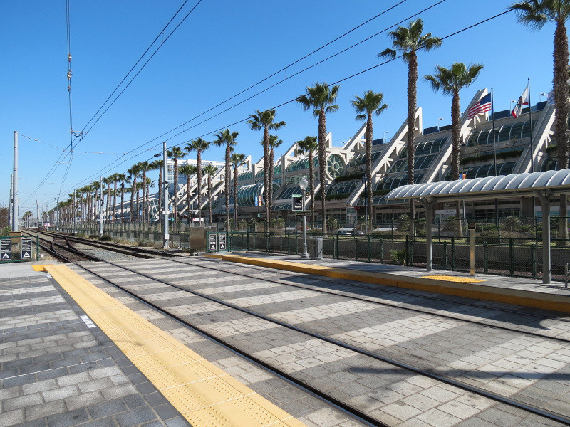
San Diego Convention Center:
Also fronting the marina is this large facility with views of downtown and the waterfront from its raised terraces. The section with the jagged concrete spires and sail roof was opened in 1989 while the addition with its rounded rows of windows was opened in 2001.


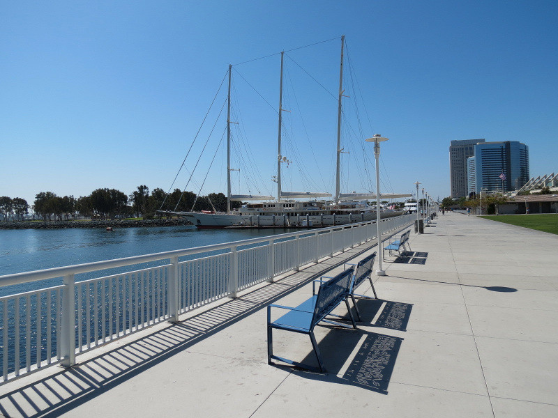
Embarcadero walkway near Convention Center:
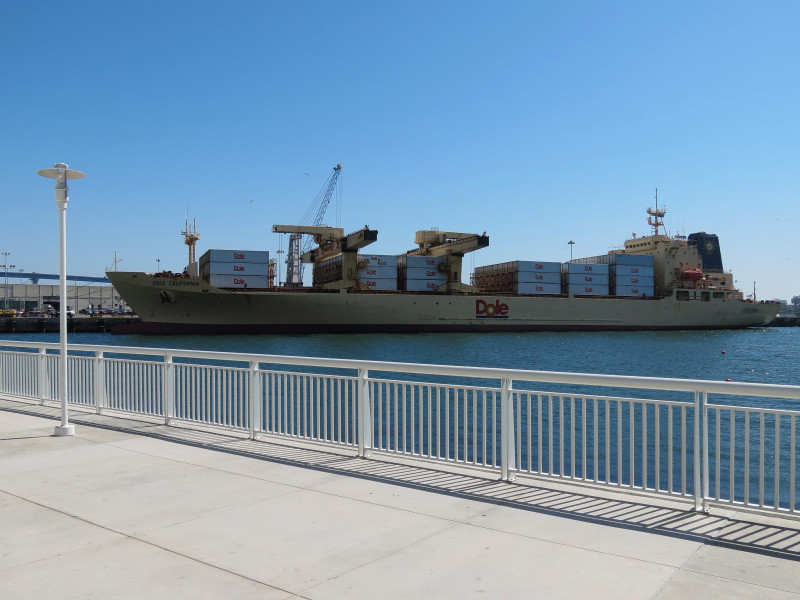
This is the final stretch of downtown's waterfront before it terminates into large scale industrial docks for the port and US Navy stretching for miles South. The first large port facility pictured here is the 10th Avenue Terminal; one of the port's largest commerce sources is the importation of bananas by Dole at this dock.
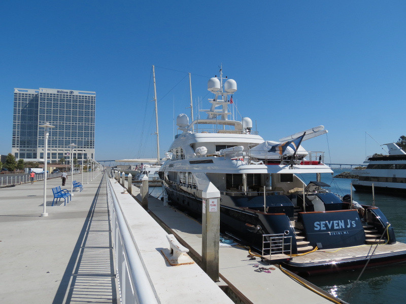

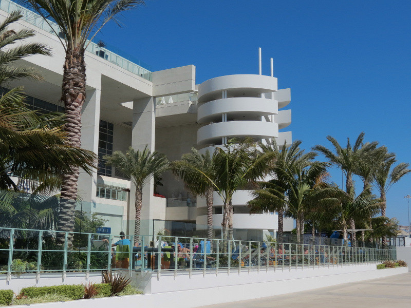
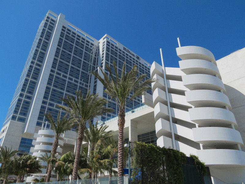
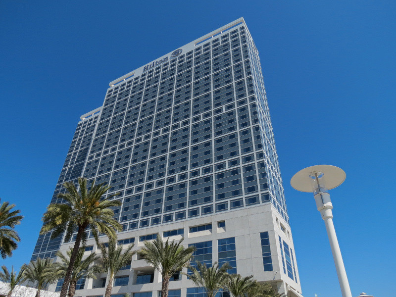
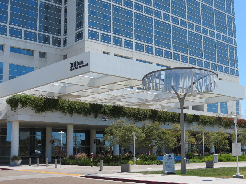
Hilton San Diego Bayfront:
This hotel from 2008 terminates the publicly accessible stretch of the Embarcadero.
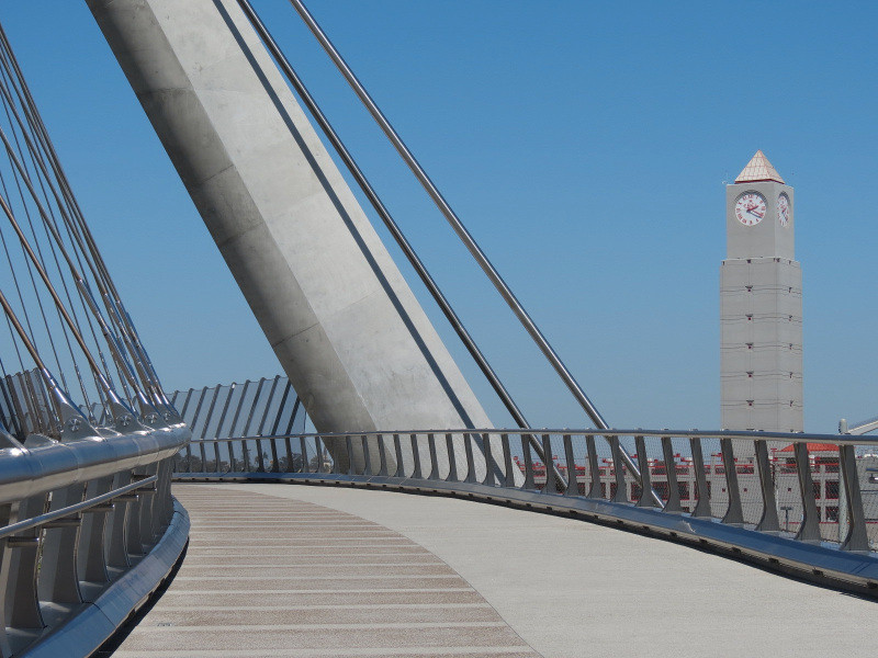
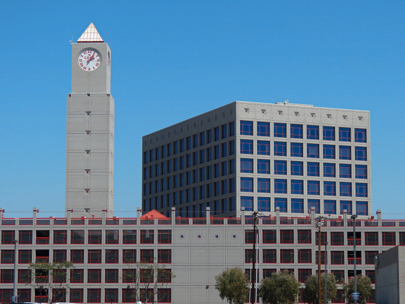
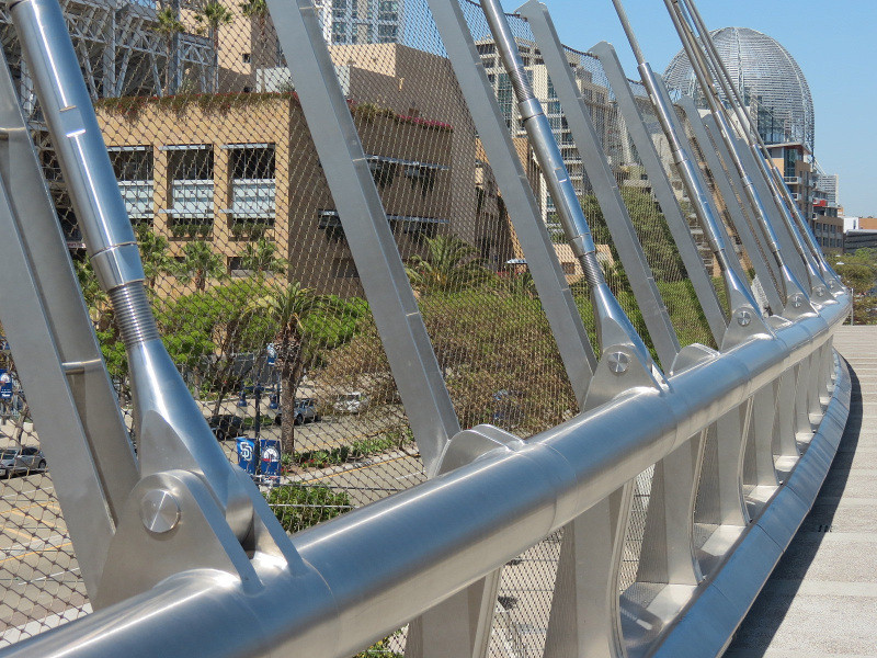
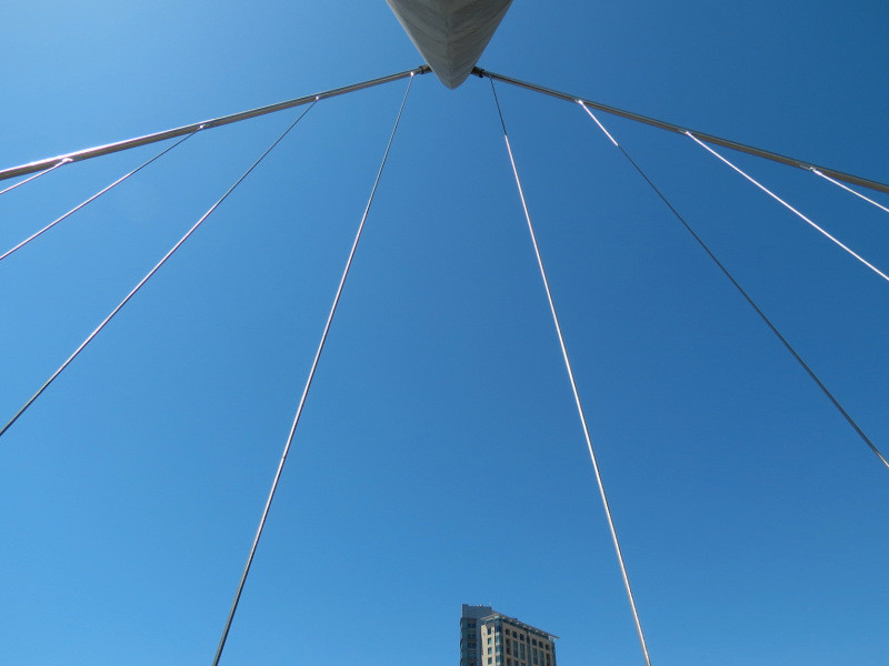
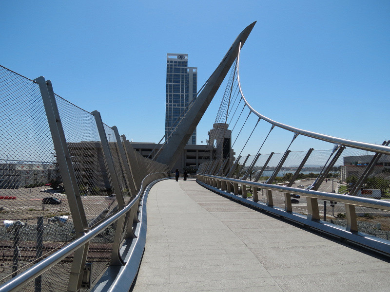
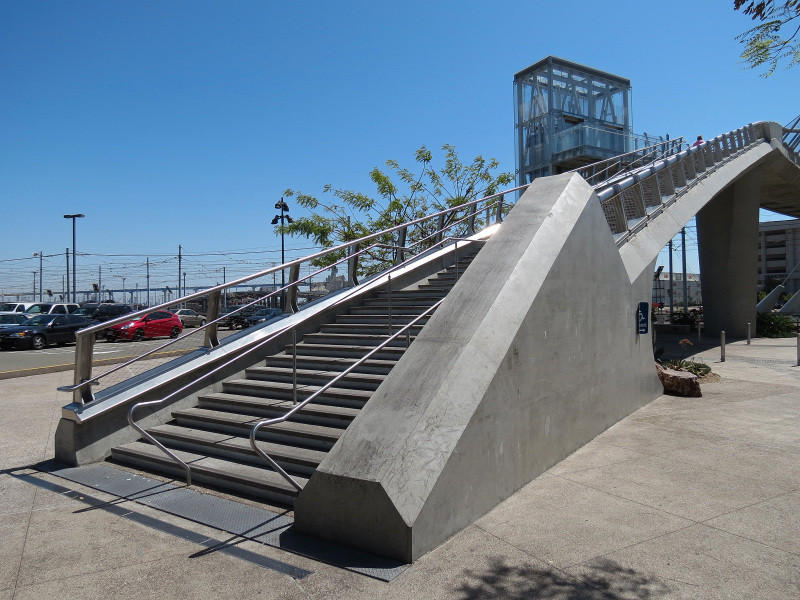
Harbor Drive Pedestrian Bridge:
Opened in 2011, this crosses over East Harbor Drive (the road that parallels the waterfront a block inland) and the train and trolley tracks of a railyard. It connects the Hilton San Diego Bayfront with Petco Park. Nearby, a view of the 12th & Imperial Transit Center for the San Diego Trolley lines can be seen with its clocktower and parking structure.
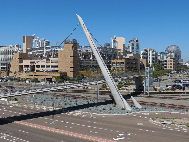

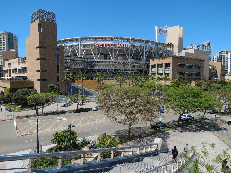
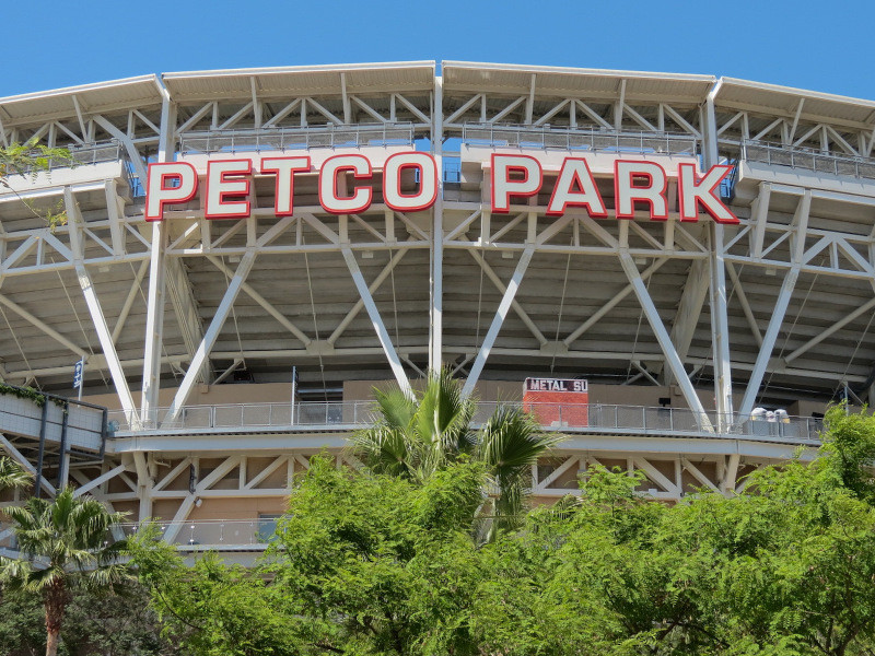
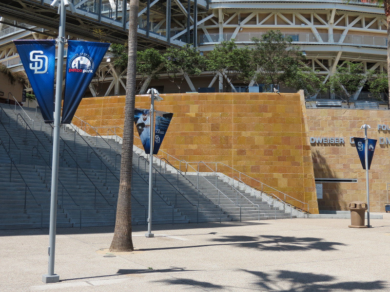
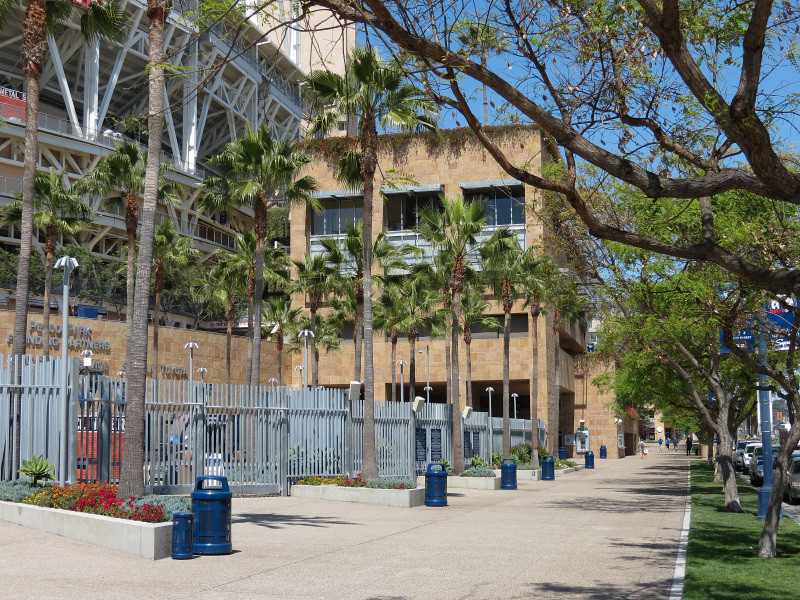
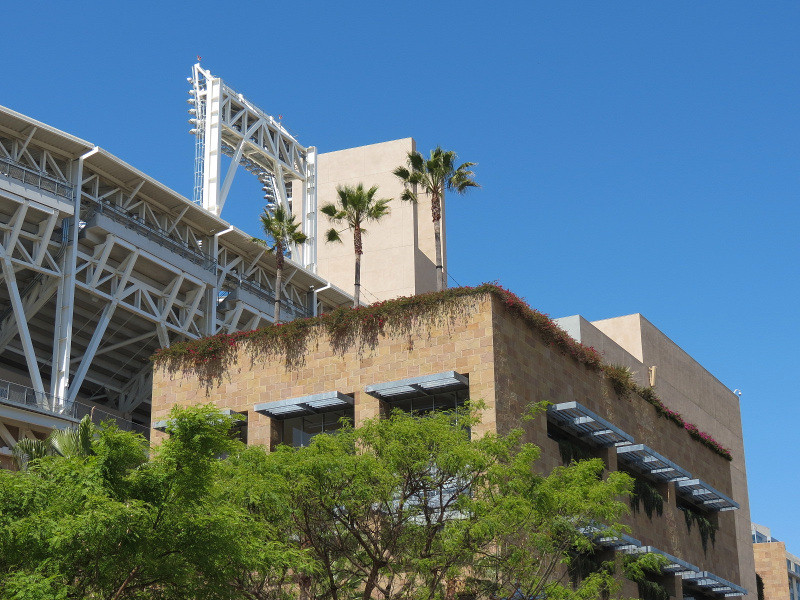
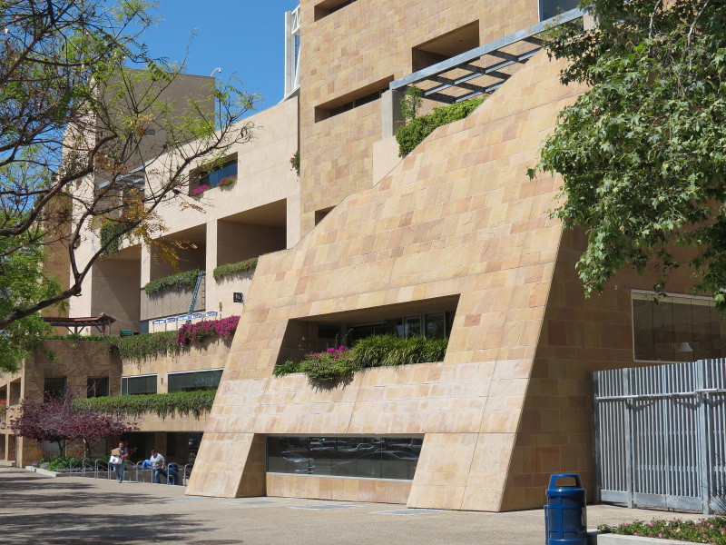
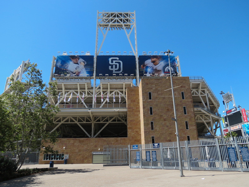
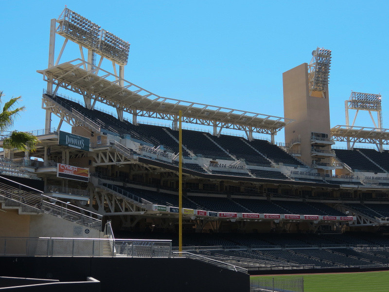
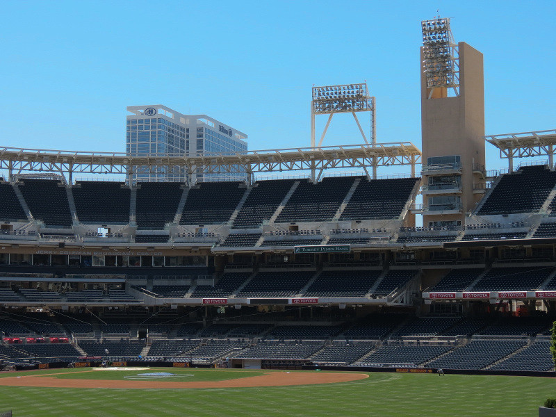
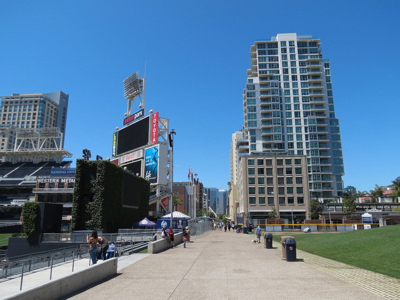
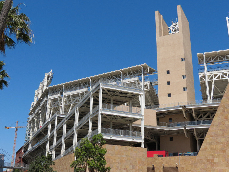
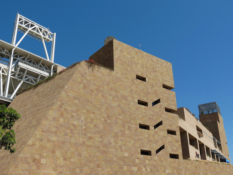
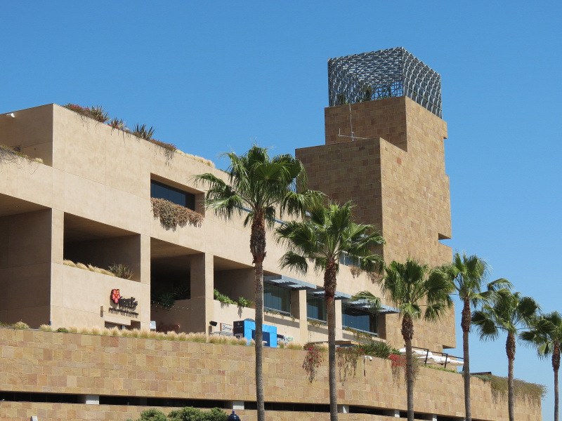
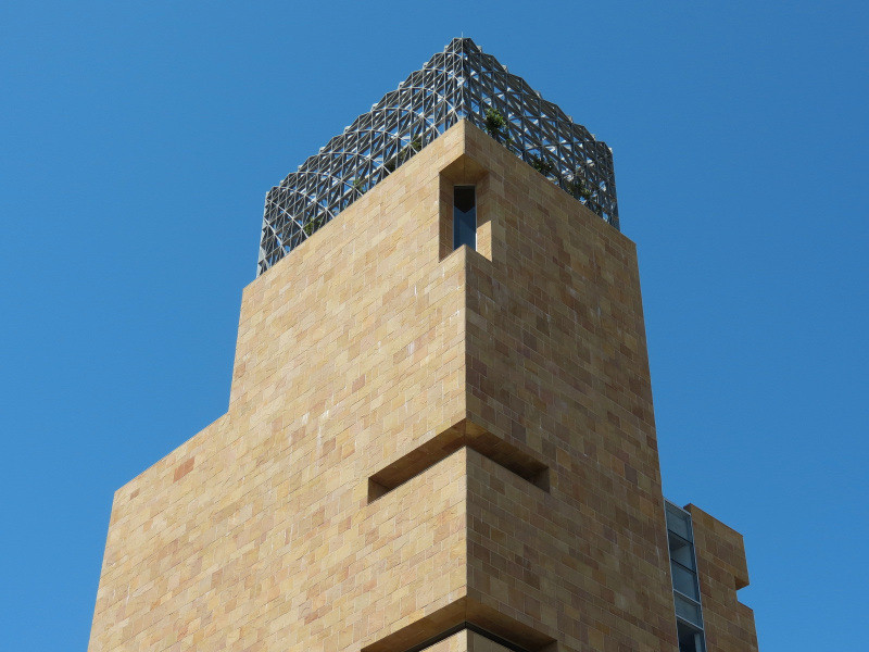
Petco Park:
The home of the San Diego Padres Major League Baseball Team, this stadium opened in 2004 on the edge of downtown's East Village neighborhood and is served by the San Diego Trolley that follows in this thread.


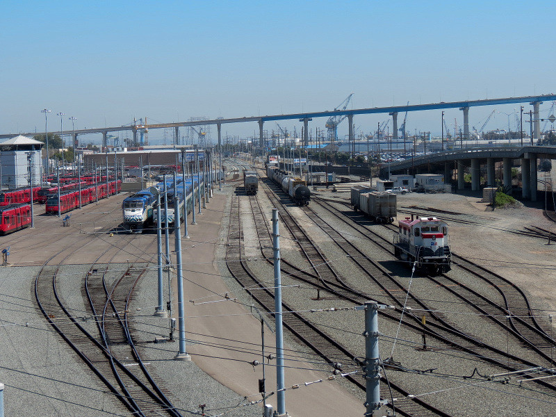
Rail Lines:
Separating Petco Park and the rest of downtown from the waterfront is a wide swath of circulation that parallels the shoreline in this area. It includes East Harbor Drive for automobiles; rail lines for freight, Coaster commuter trains, and San Diego Trolley; and the Martin Luther King, Jr. Promenade for pedestrians and its several associated trolley stops and small parks.

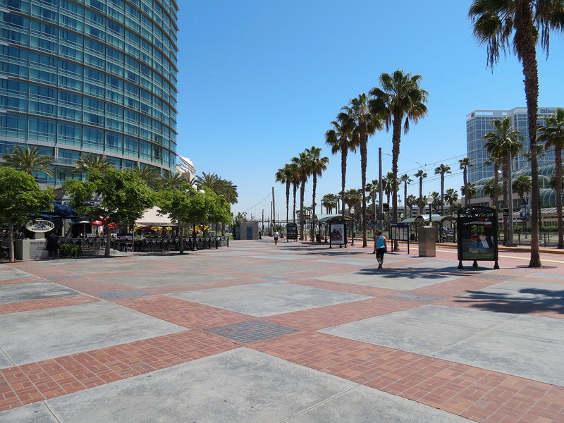


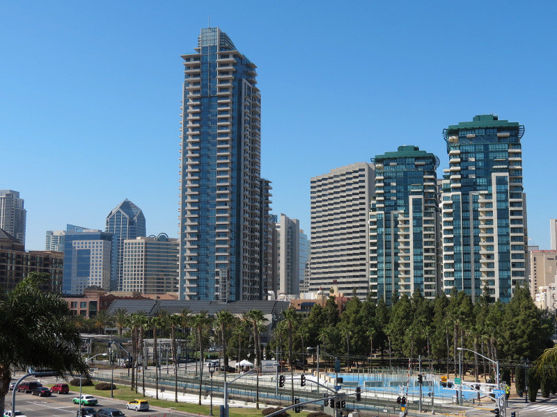
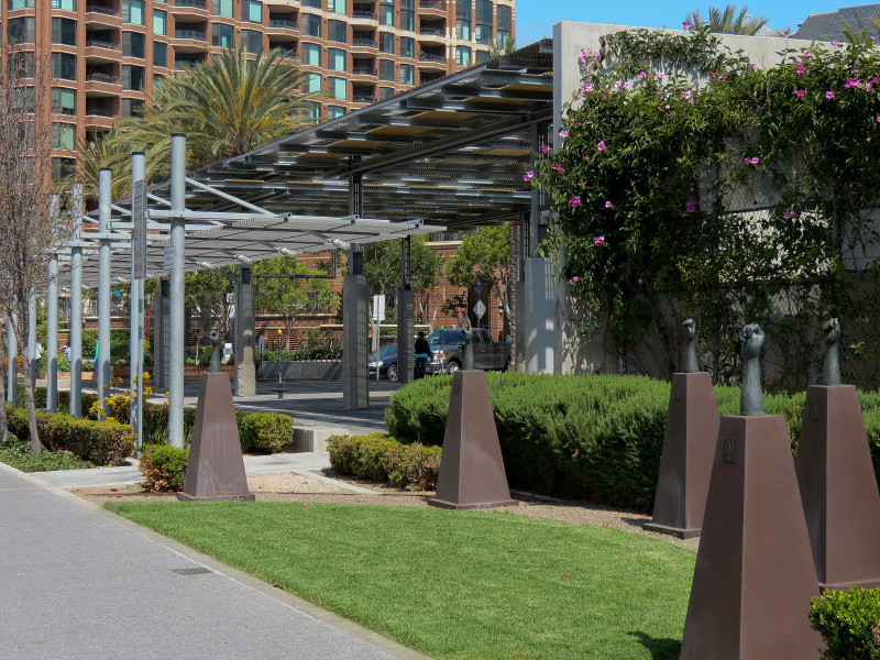
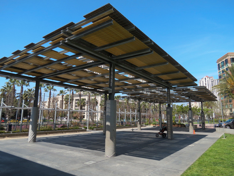
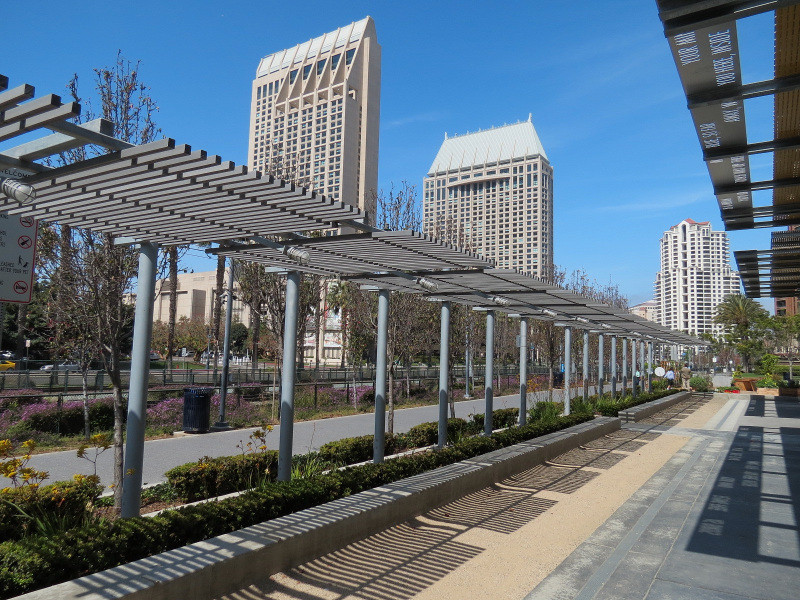
Children's Park and New Children's Museum:
The San Diego Trolley runs across a giant round shallow water feature in this park designed by Peter Walker and opened in 1997(Shown here only in the skyline photo). Adjacent to it is the New Children's Museum and Park, opened in 2008.

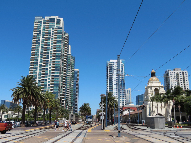
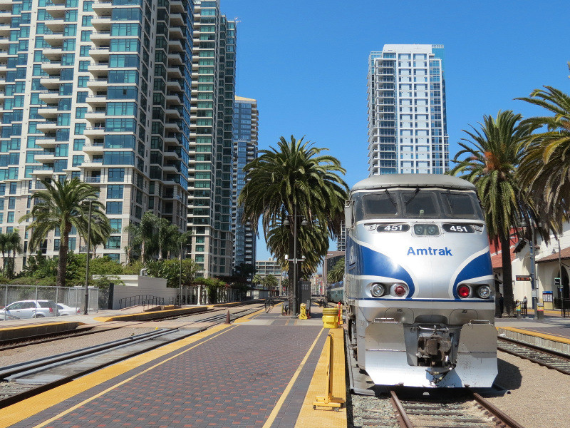
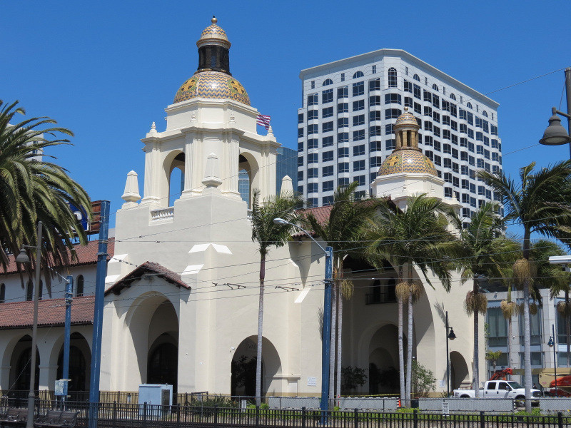
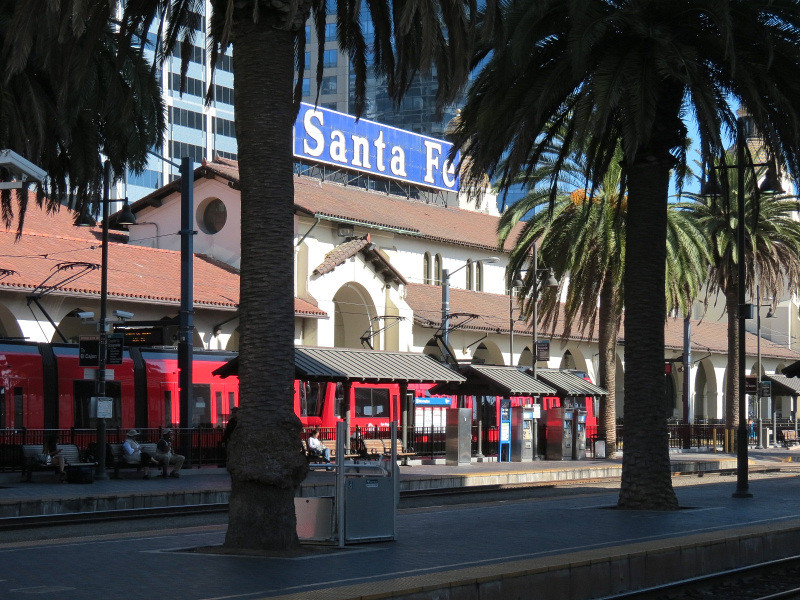
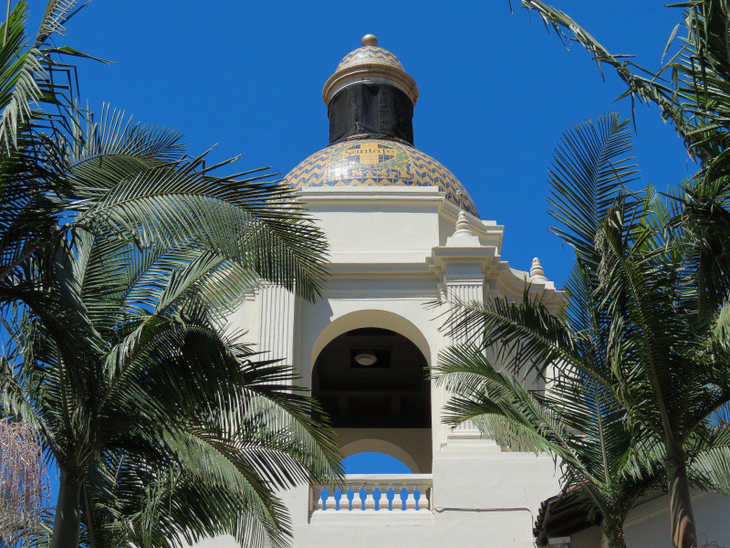
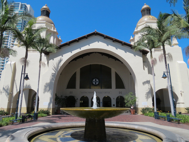
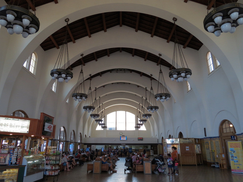
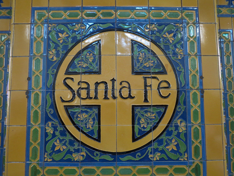
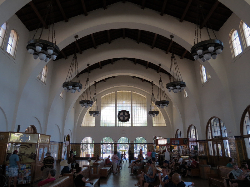
Union Station:
After the rail lines curve North and a few blocks away from the waterfront, they arrive here at this 1915 station also known as Santa Fe Depot. It serves the San Diego Trolley as well as the Coaster commuter trains and Amtrak's Surfliner trains (this is their Southern terminus). One end of the building houses the downtown branch of the Museum of Contemporary Art San Diego with a modern addition opened in 2007.


All photographs taken in 2014 by geomorph.
For my other San Diego threads, see:
Balboa Park - Part 1:
http://forum.skyscraperpage.com/showthread.php?t=216147
Balboa Park - Part 2:
http://forum.skyscraperpage.com/showthread.php?t=216165
Downtown - Waterfront Part 1:
http://forum.skyscraperpage.com/showthread.php?t=216189
Downtown - Historic to Postmodern Buildings:
http://forum.skyscraperpage.com/showthread.php?t=216754
Downtown - Contemporary Lowrises and Midrises:
http://forum.skyscraperpage.com/showthread.php?t=216793
Downtown - Contemporary Highrises:
http://forum.skyscraperpage.com/showthread.php?t=216804
University of California, San Diego - Part 1:
http://forum.skyscraperpage.com/showthread.php?t=227444
University of California, San Diego - Part 2:
http://forum.skyscraperpage.com/showthread.php?t=227488


 Linear Mode
