Virginia has an unusual legal structure for cities and counties. It's esoteric and a bit ridiculous, but the long and the short of it is that Virginia's biggest historic central cities have fairly small populations (Norfolk 245k, Richmond 210k), while the most-populous and powerful jurisdictions tend to be counties (Fairfax 1.1m, Prince William 421k). Then there are some jurisdictions that seem like cities, but are actually counties (like Arlington), or vice versa.
Virginia Beach is one such vice versa. According to Virginia law, it's a city of about 450,000. But it looks and functions more like a suburban county than anything else. Call it an accident of legal semantics. Regardless, here it is. These photos are from October.
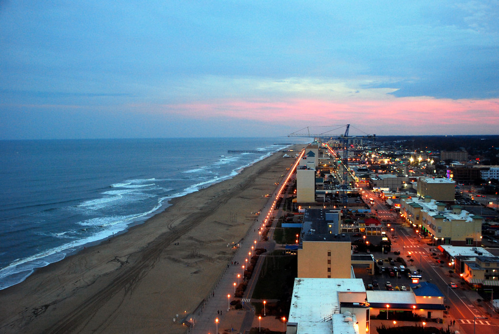
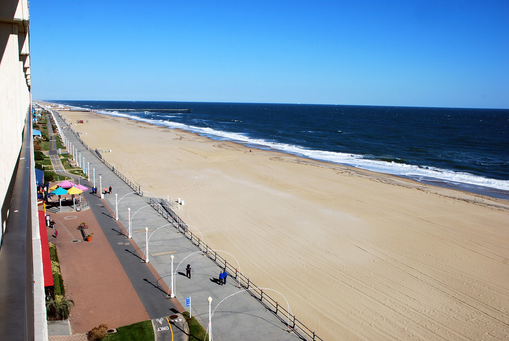
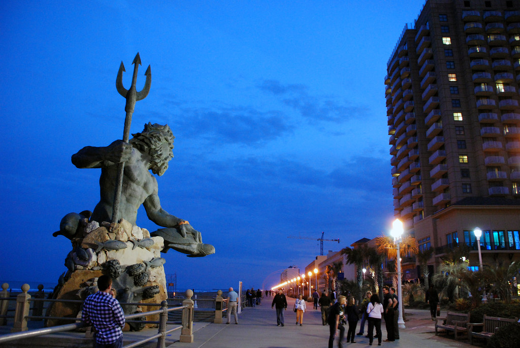
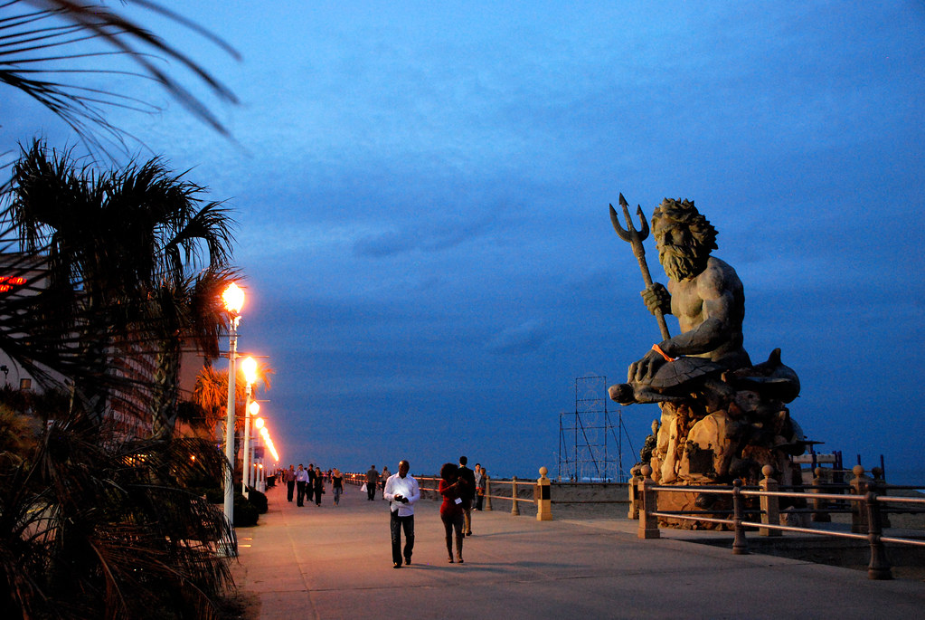
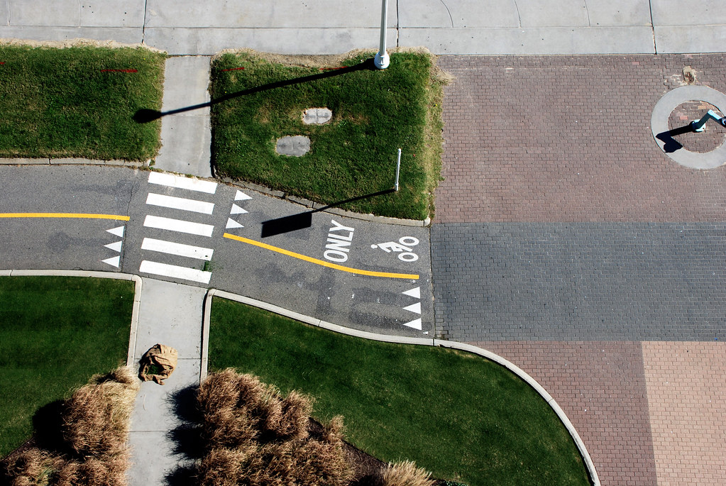
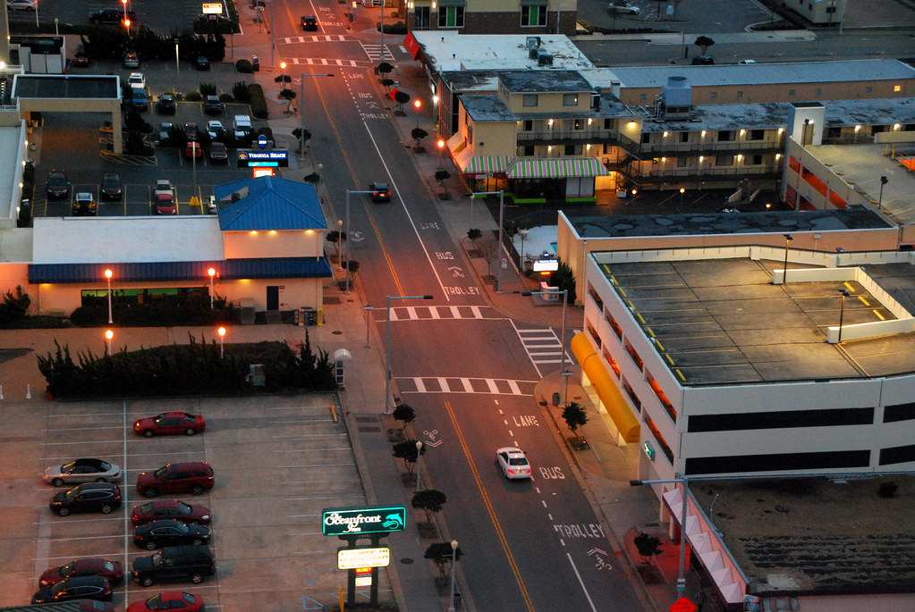
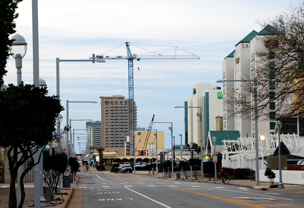
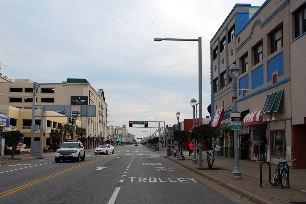
The Oceanfront
The oceanfront is the oldest part of Virginia Beach, and until recently was the only part that's even remotely urban. It's a classic east coast beach strip, with the beach, then a boardwalk, then a strip of high-rise hotels, then a main street with retail and bars, then cheaper hotels behind. The same basic pattern repeats itself all up and down the coast at resort towns like Ocean City MD, Atlantic City NJ, and Myrtle Beach SC.
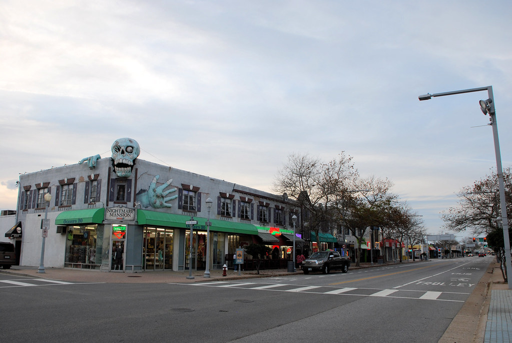
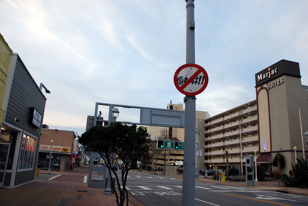
No cursing.
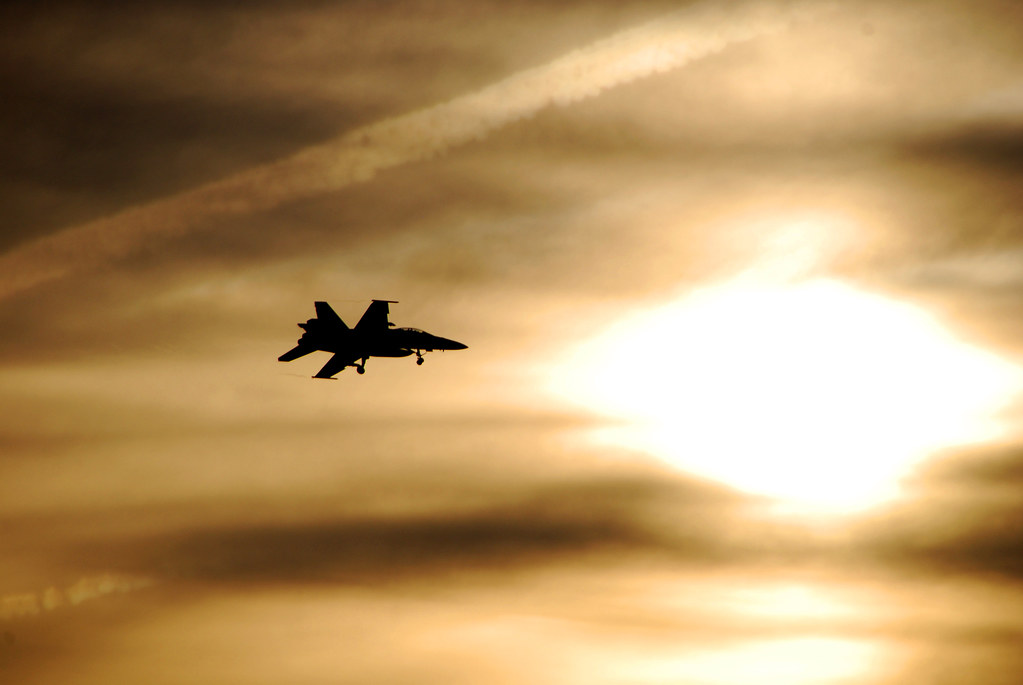
There's a US navy air base a couple miles inland from the beach, and fighter jets are constantly flying around. This is a common sight:
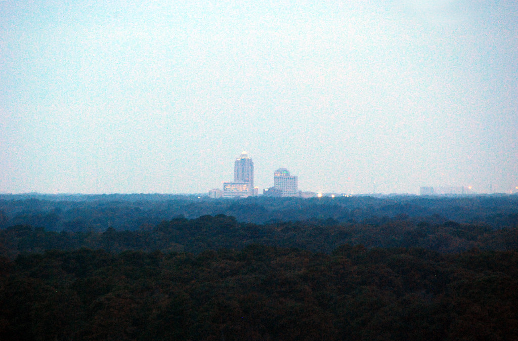
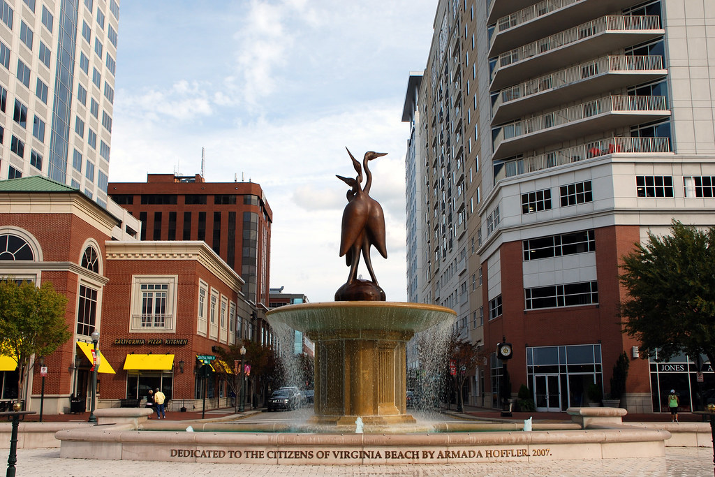
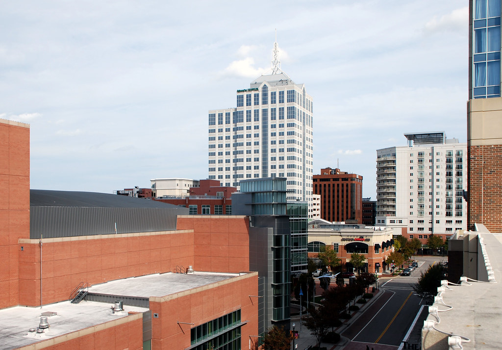
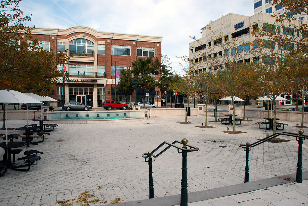
 Virginia Beach Town Center
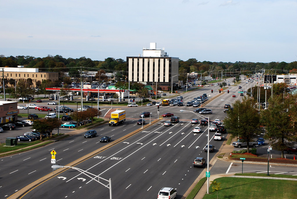
Several miles inland, surrounded by Virginia Beach's largest collection of strip malls, sits Virginia Beach Town Center, a new urbanist downtown.
At 508 feet tall, the building with the pyramid top is the tallest in Virginia. Other Virginia cities have far more skyscrapers than Virginia Beach, but none as tall as this one.
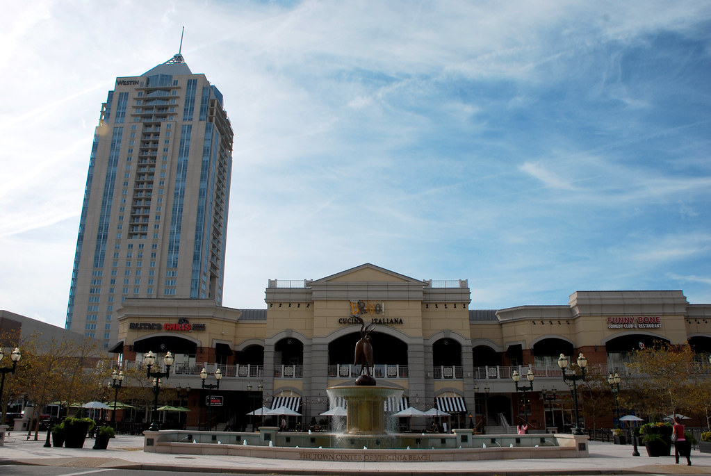
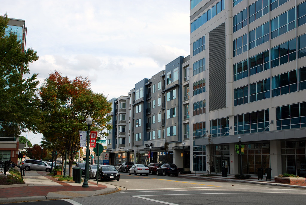
Town Center is surrounded by typical suburban retail.
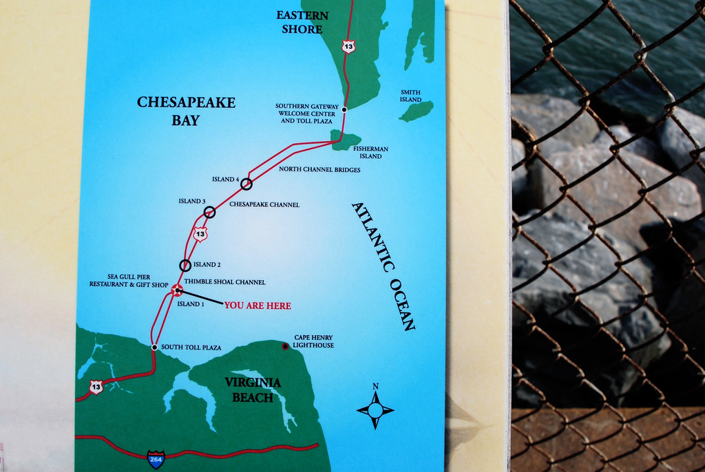
 Chesapeake Bay Bridge-Tunnel
Undoubtedly the coolest thing about Virginia Beach is the
Chesapeake Bay Bridge-Tunnel, a 23-mile-long collection of bridges and tunnels that cross the mouth of Cheapeake Bay.
It's not a suspension bridge so it's not pretty, but it's a marvel of engineering. The tunnel sections are for ships to cross.
 Photo from Virginia Beach Vacation Guide. All other images in this thread are mine.
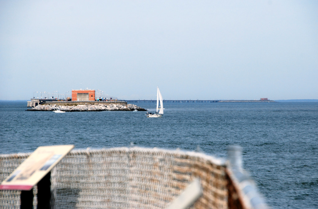
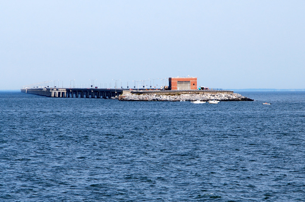
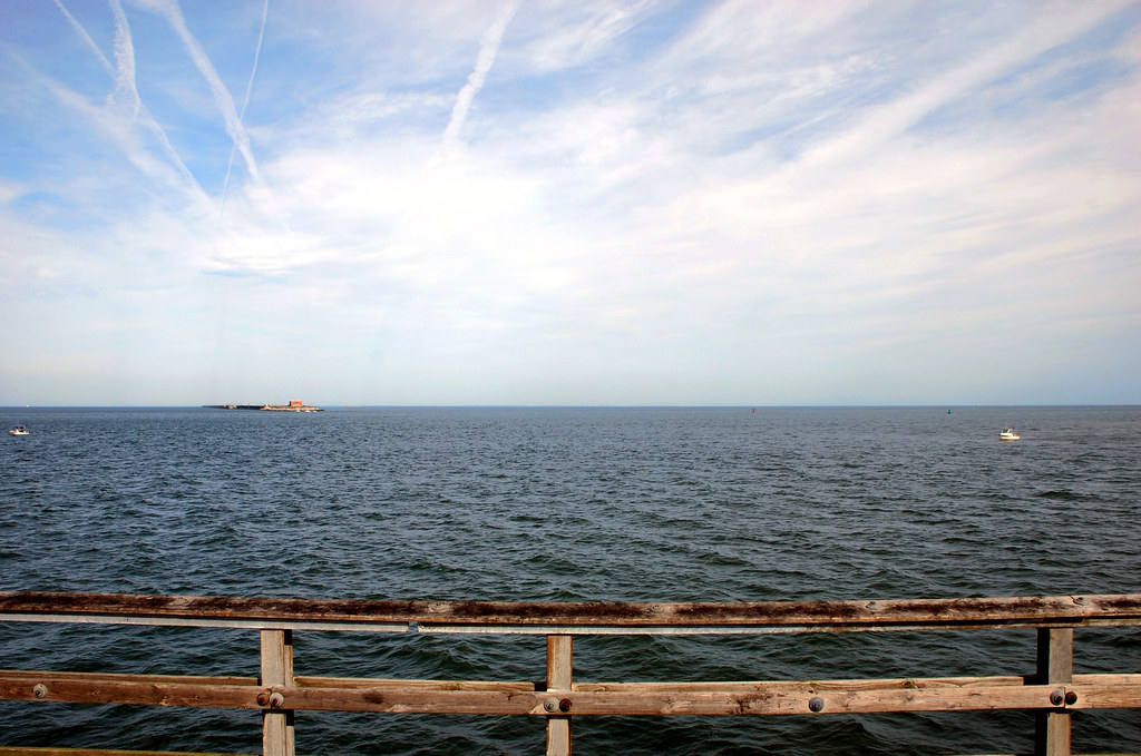
About 1/4 of the way across the bridge-tunnel there's a man-made island where the bridge slopes down to become the first tunnel section. There's a parking lot and tourist center on the island, so it's a good place to stop to look around.
Here I'm at the northern tip of the island, looking across over the tunnel section, to see the island on the opposite side of the tunnel where the road once again comes above sea level and becomes a bridge. You can see how the bridge curves behind for several miles until the next island, off to the right, where it once again becomes a tunnel.
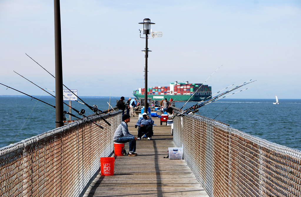
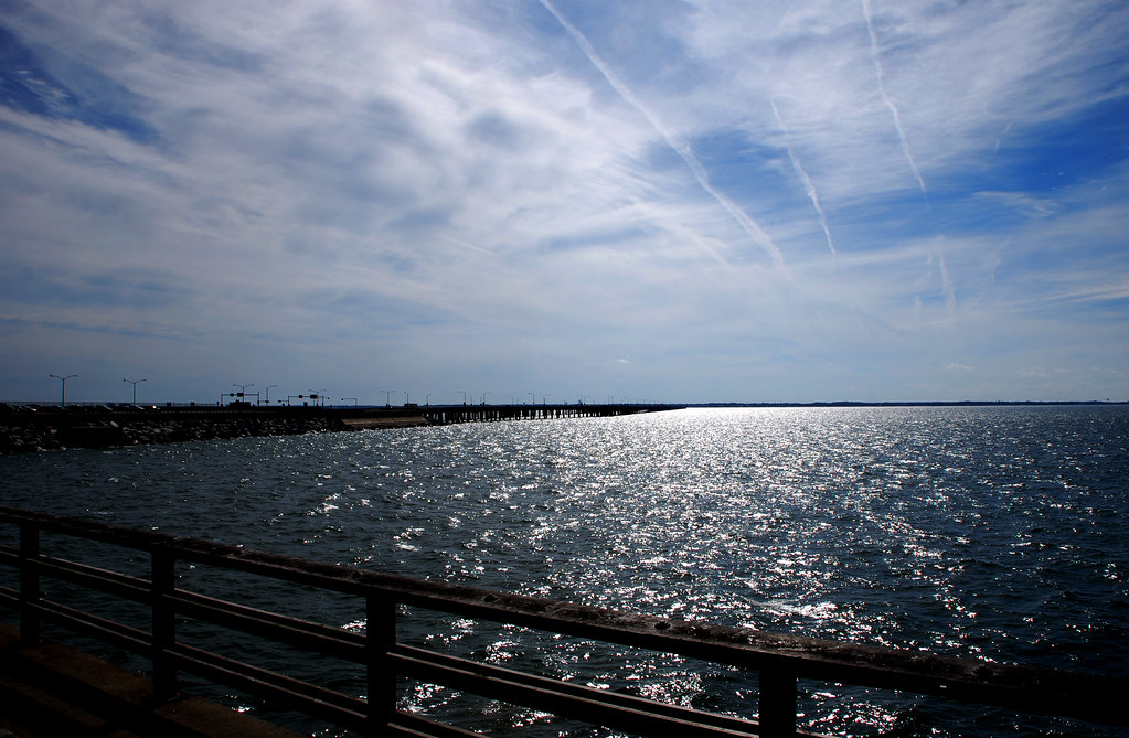
There are a lot of ships. Norfolk and Baltimore (up the bay) are two of the biggest ports on the US east coast.
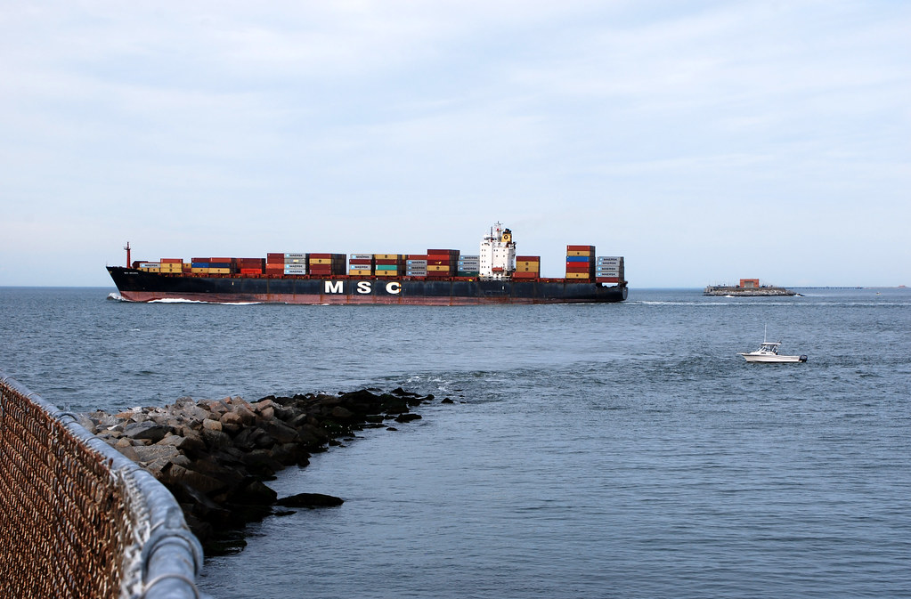
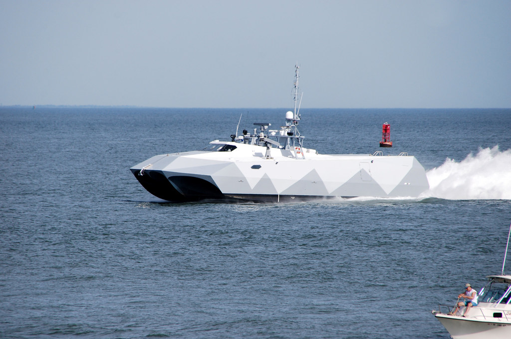
That includes military ships. Norfolk is the main US navy base for the Atlantic fleet.
No zoom:
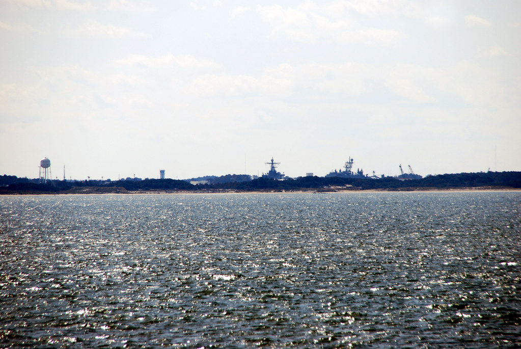
Looking back towards the mainland:
Zooming way in on the mainland, you can see the Norfolk navy base, about 12 miles away.
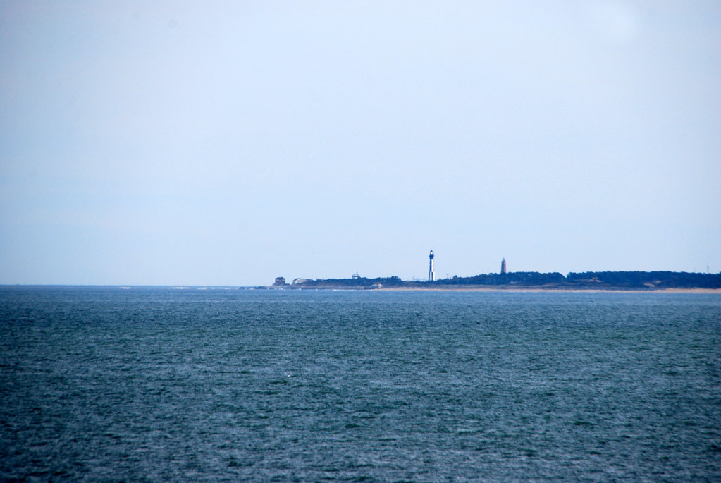
Zooming back to the mainland but looking southeast instead of southwest, you can see the two lighthouses of Cape Henry, about 6.5 miles away. The shorter of the two was built in 1792. The taller in 1881.
That's it! Goodbye!


 Linear Mode
