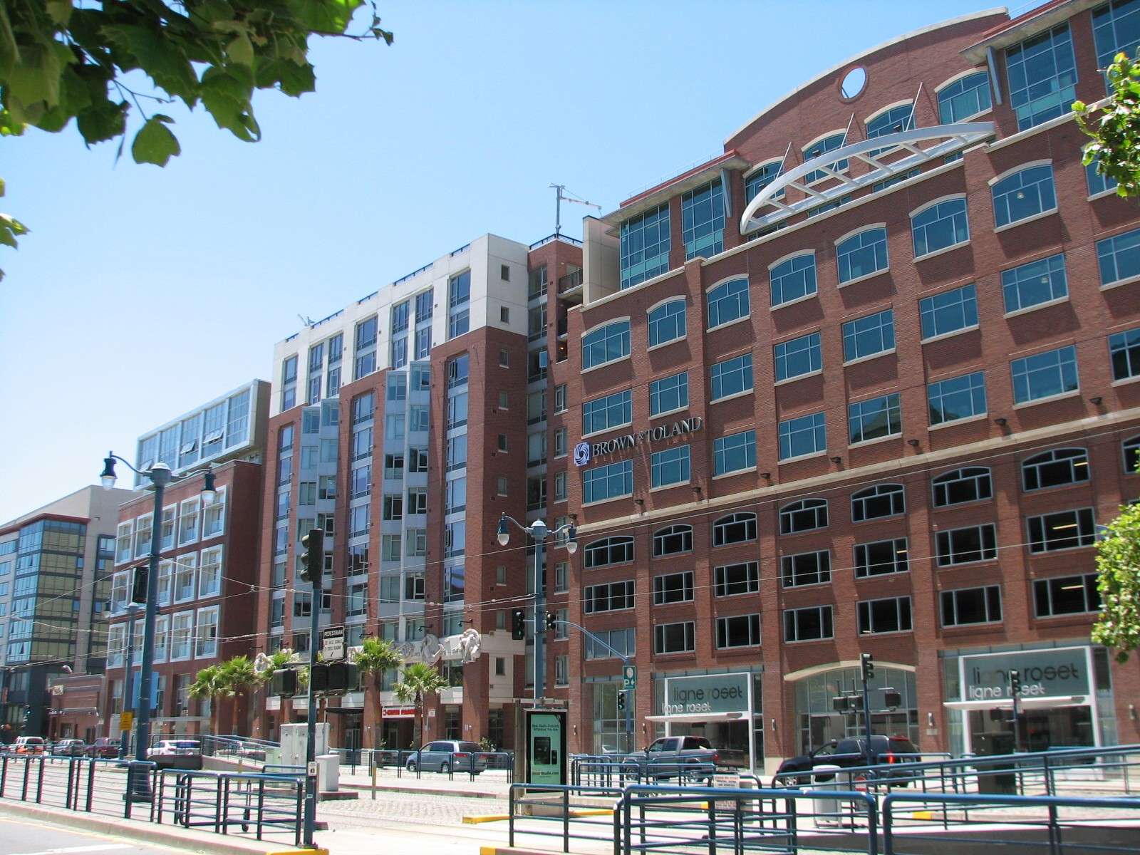
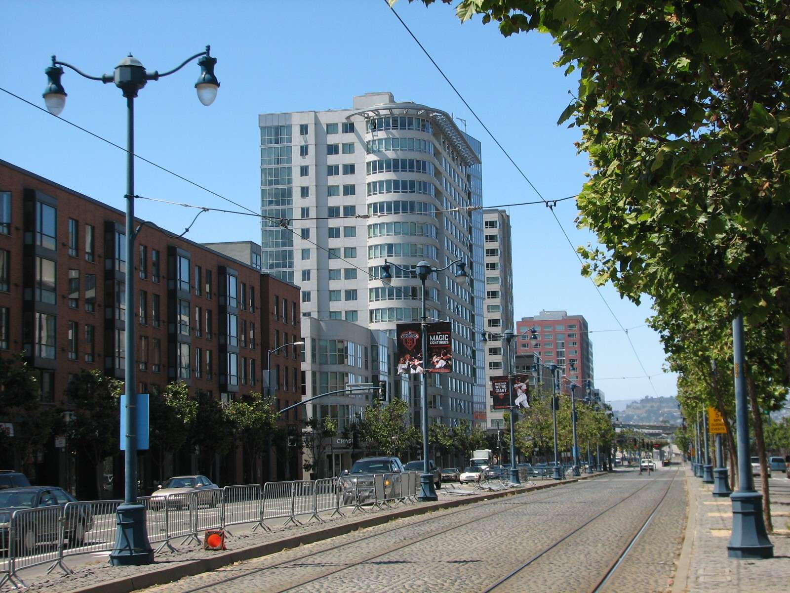
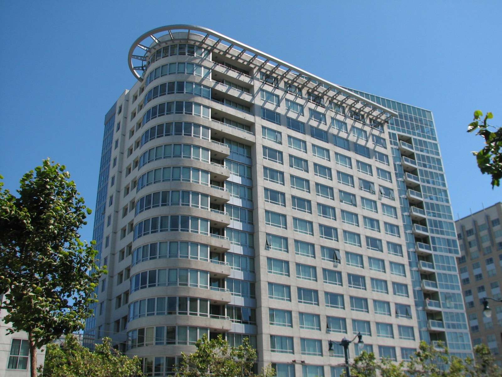
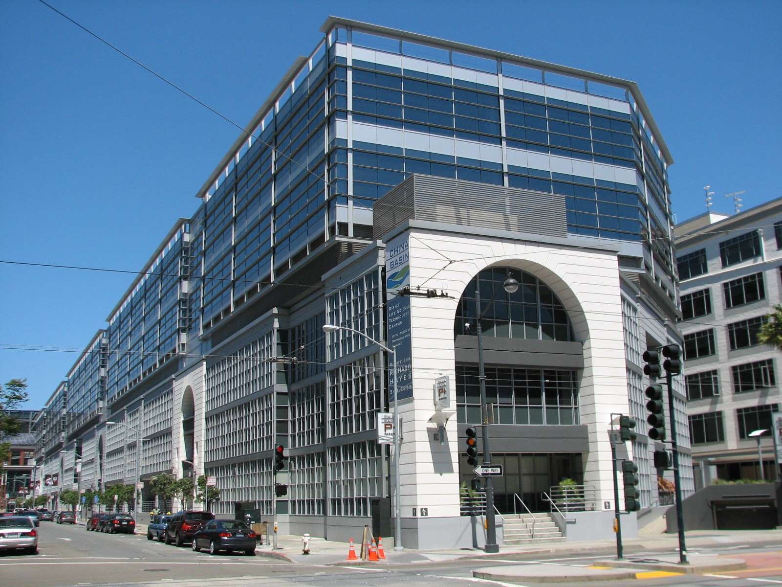
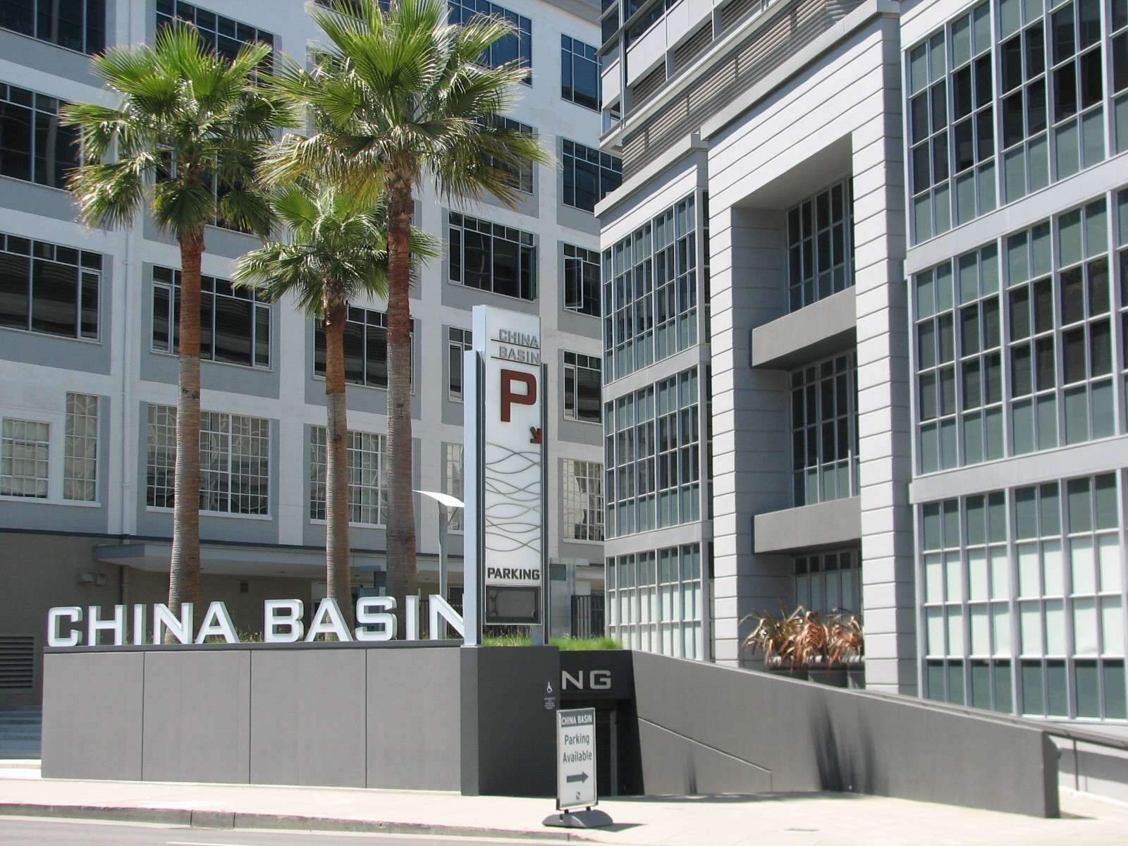
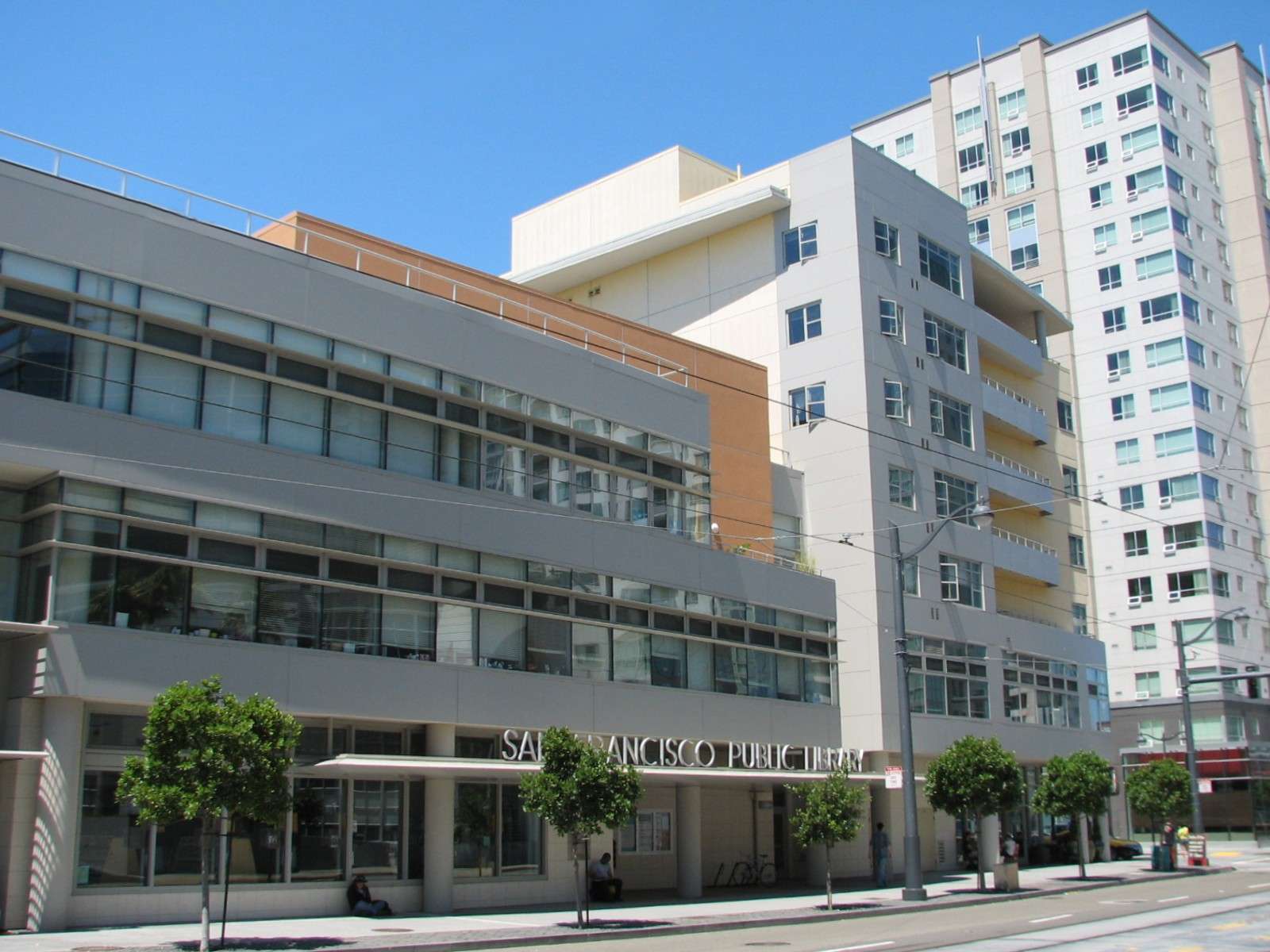
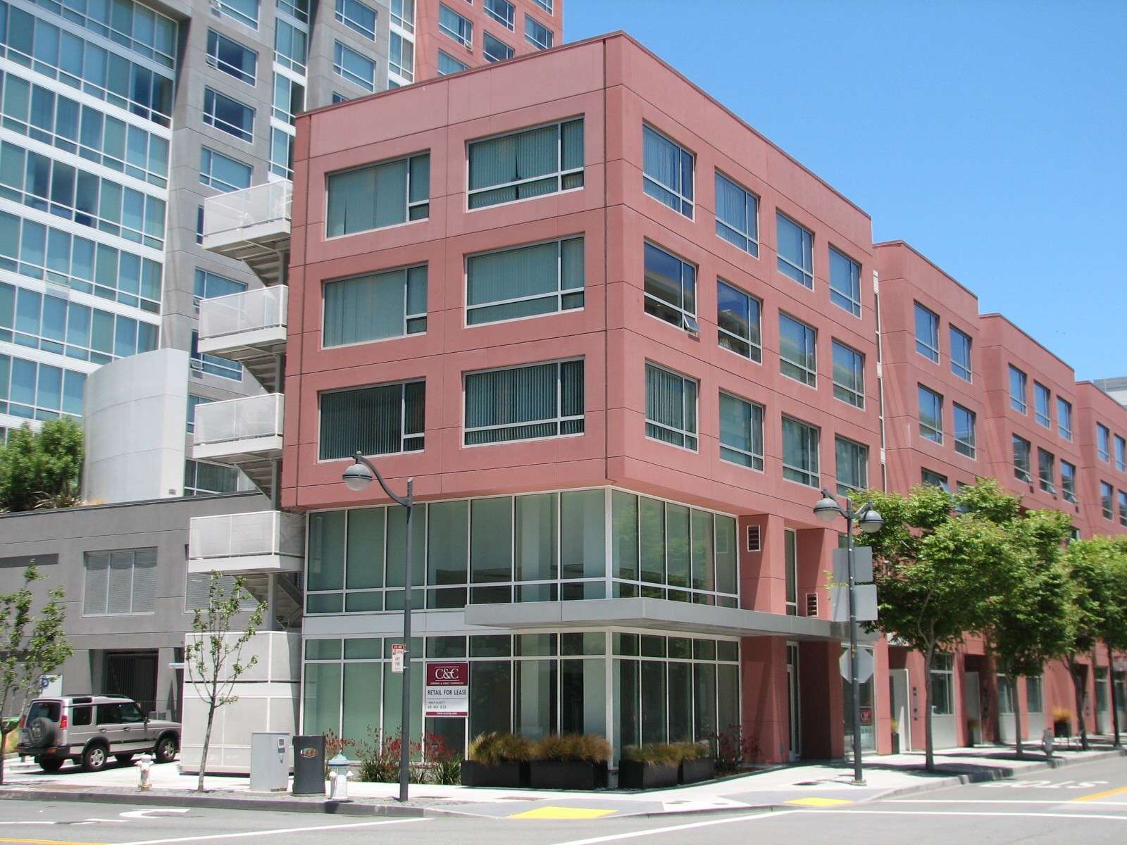
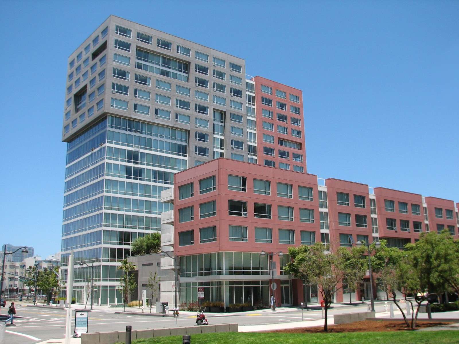
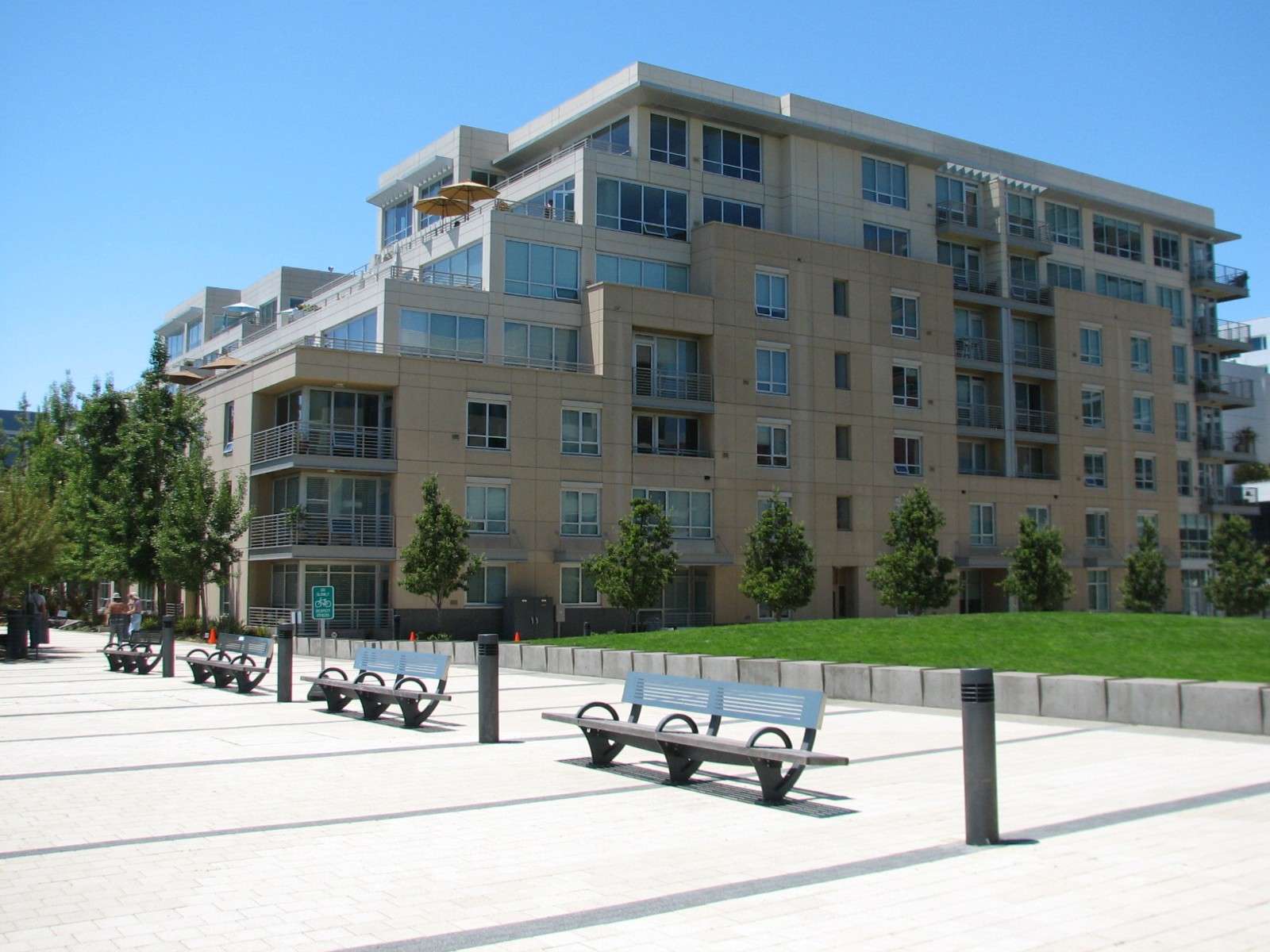
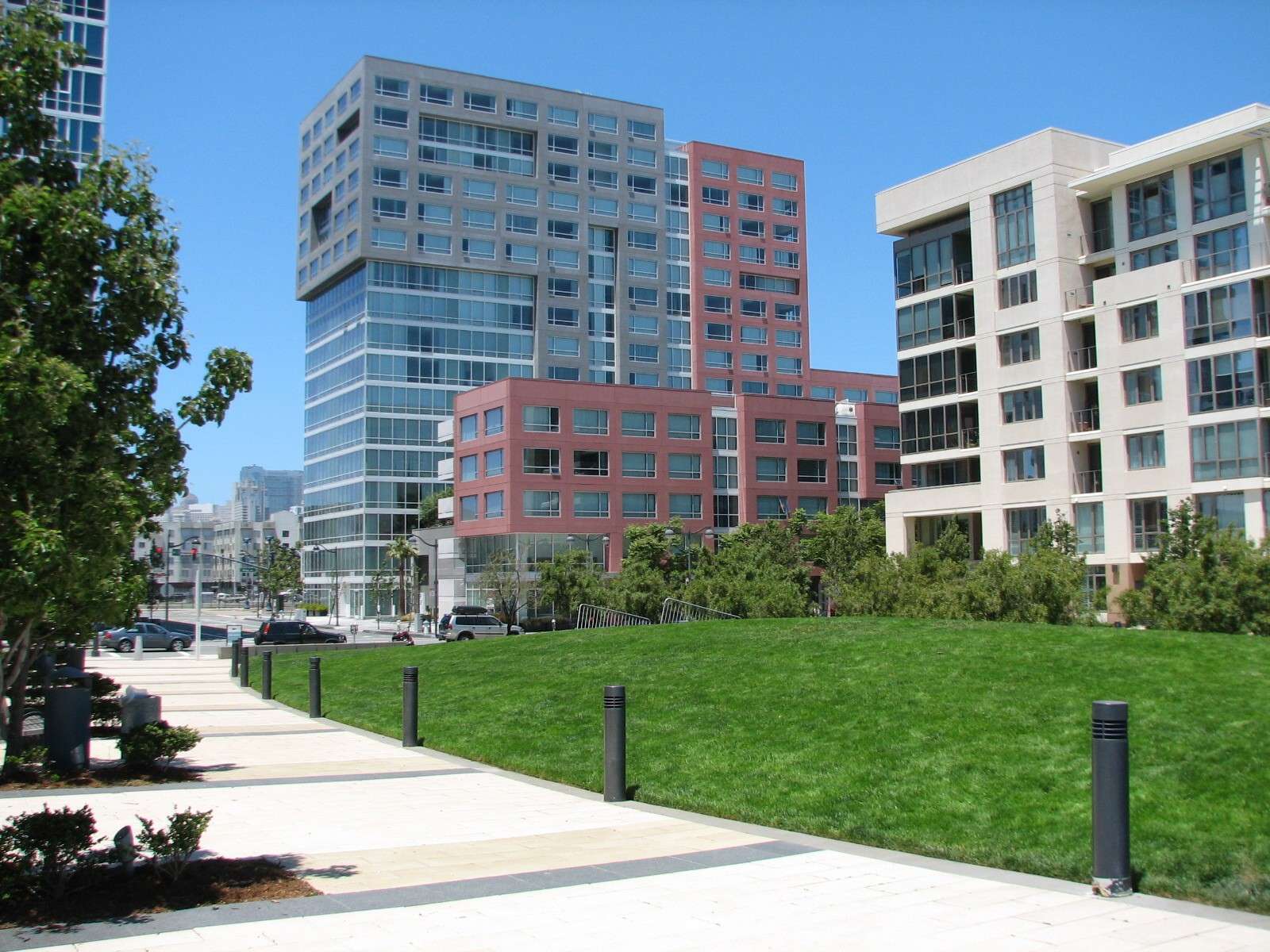
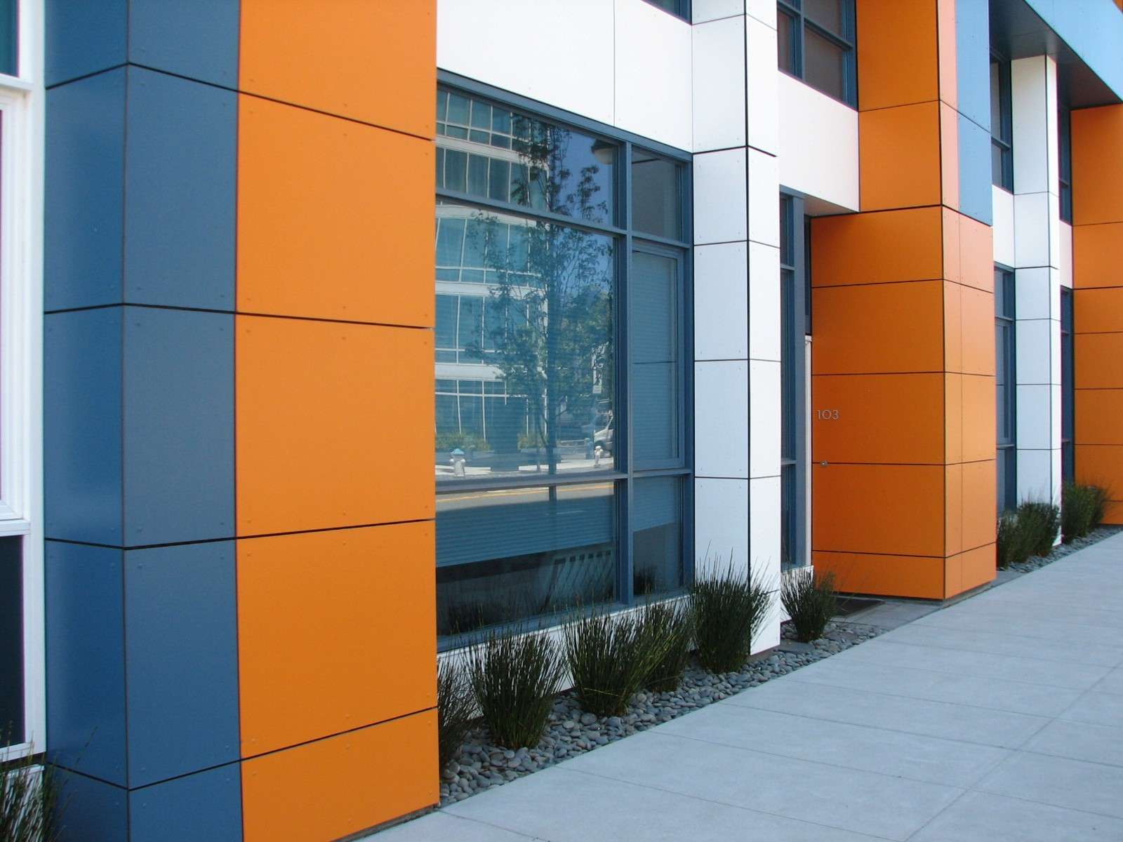
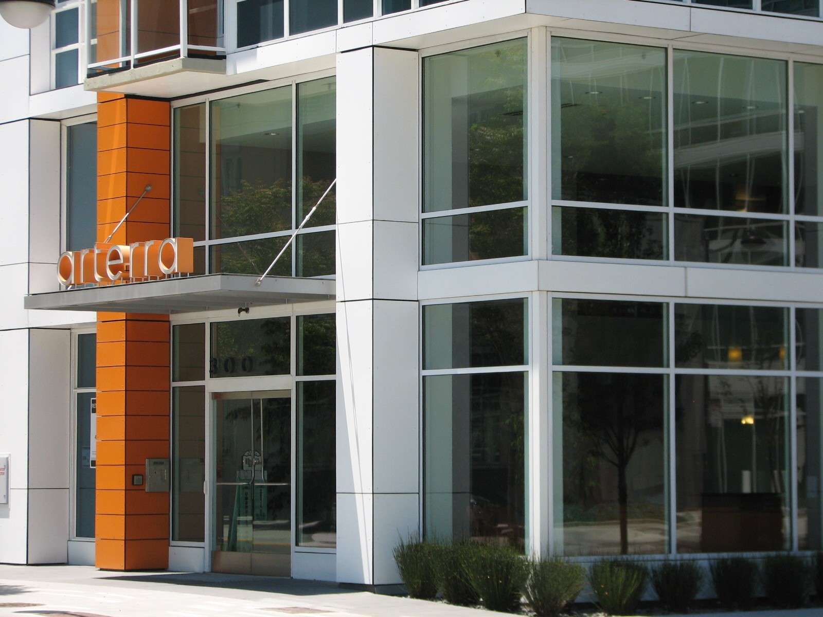
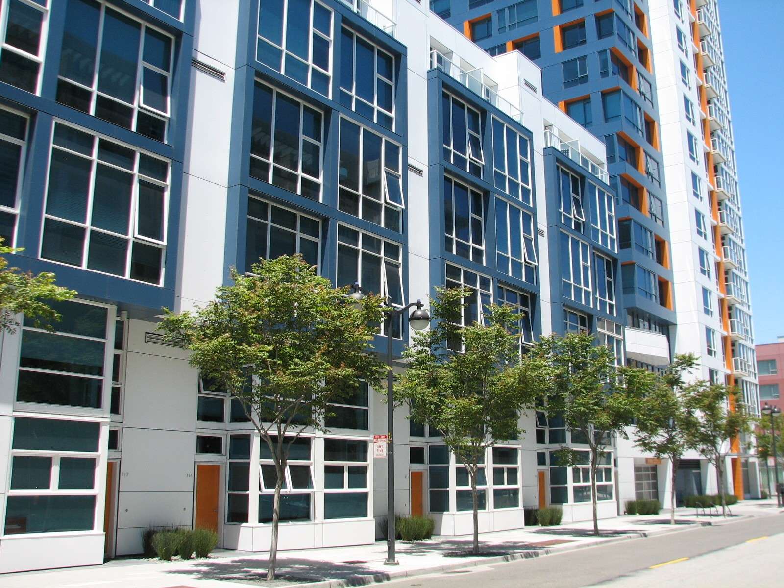
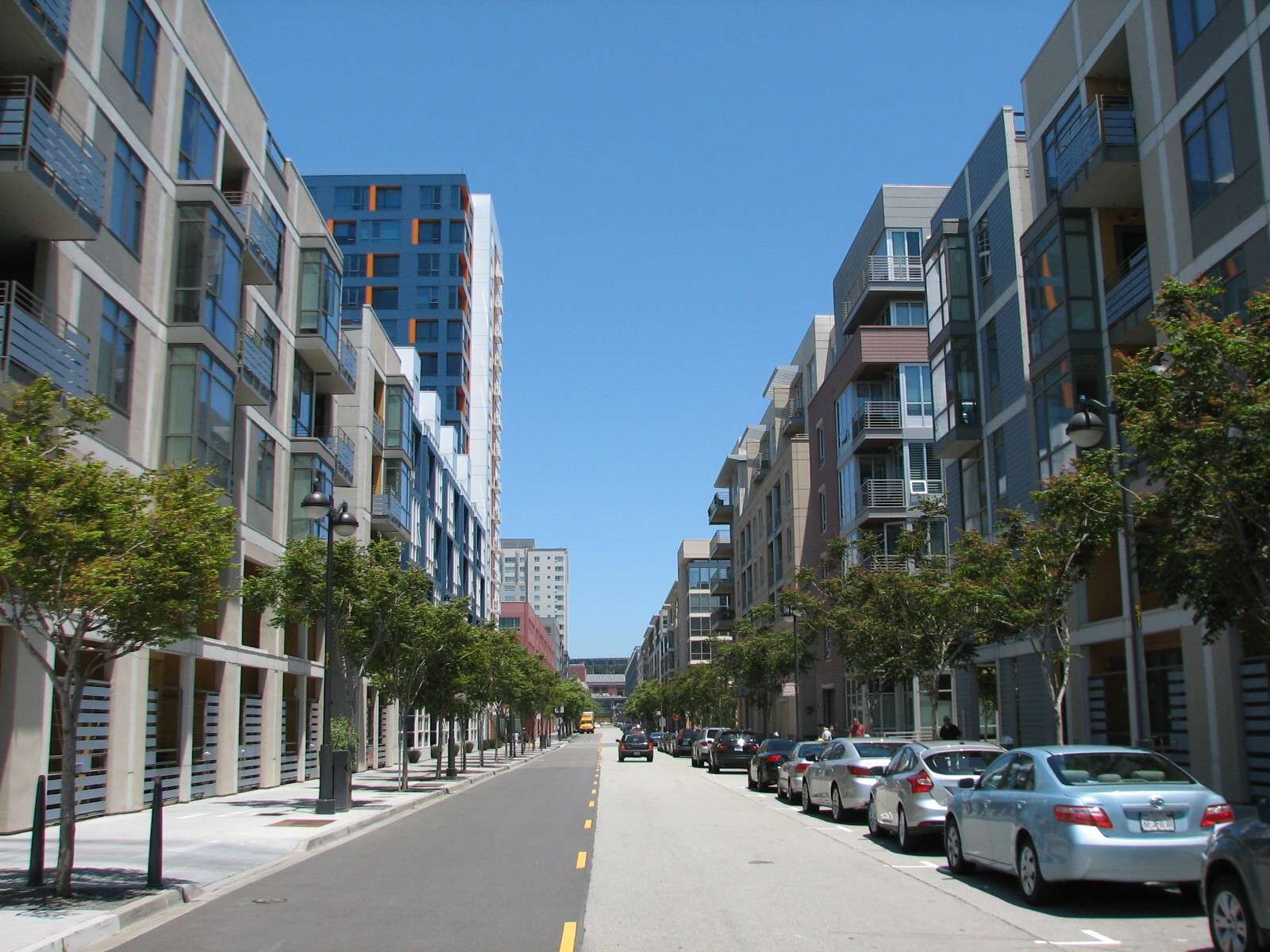
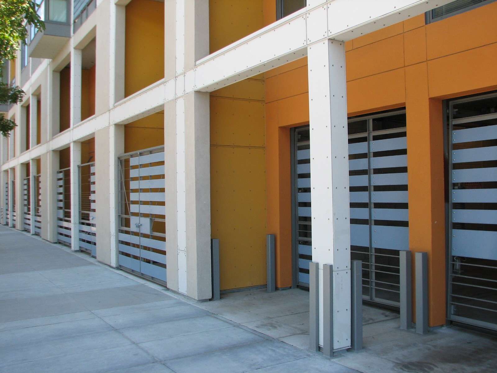
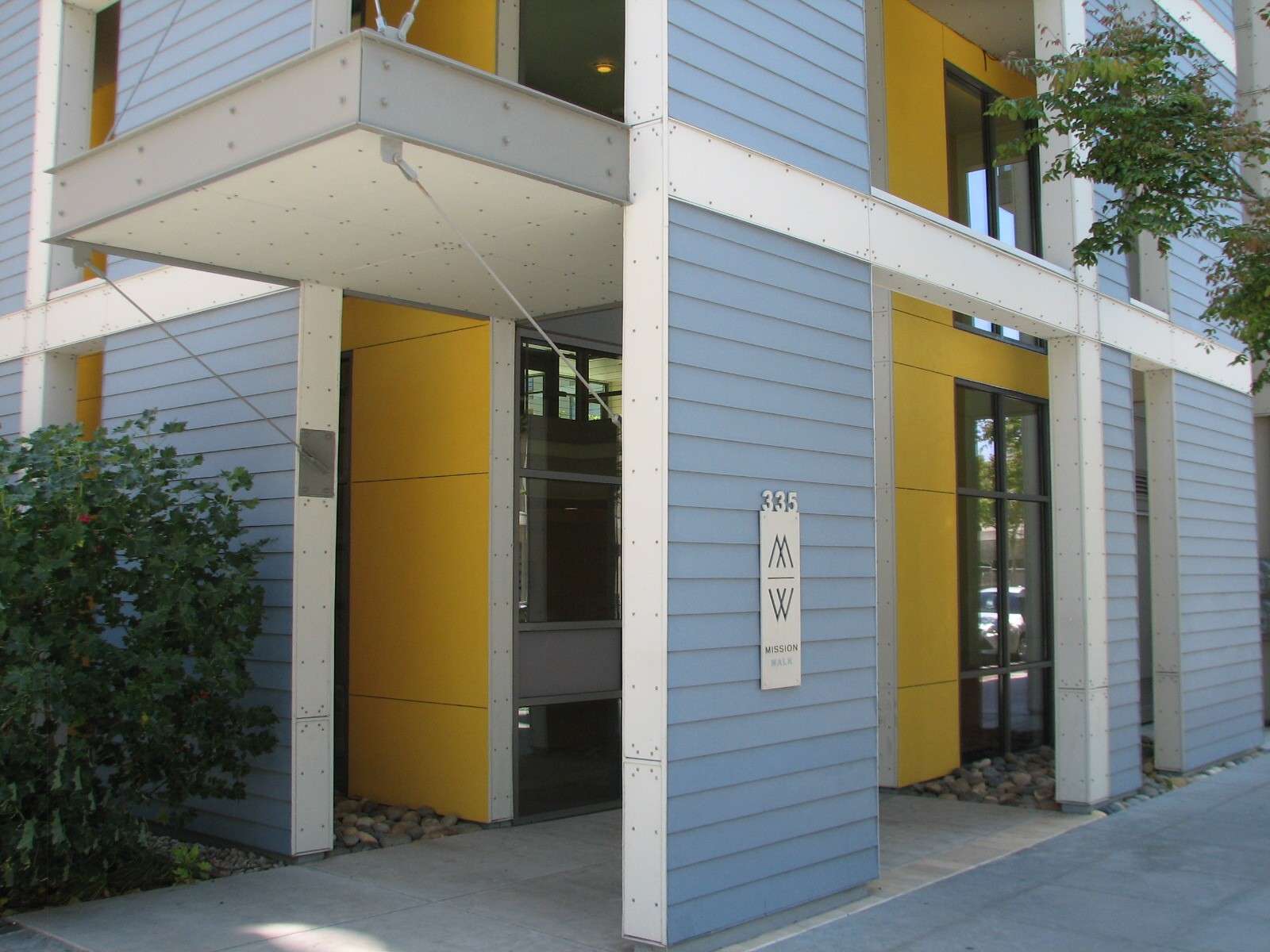
Mission Bay is a neighborhood within San Francisco's 7-mile by 7-mile city limits. It is located on the Eastern side of the city along the San Francisco Bay waterfront and is on flat terrain composed of bay fill. Touching its edge on the North side is the Embarcadero, while the rest of the North and West sides are contained by South of Market, from which this area was created; to the South is Dogpatch. It is a new neighborhood with few historic structures; most of it is a master-planned development that replaces a huge railyard associated with the piers and formerly active area of bayside freight and commerce. Nearly every building that exists today did not exist 12 years ago, and many blocks of future projects await to be carved out of the acres of surface parking lots that serve the nearby baseball stadium temporarily (if 12+ years can be considered temporary!) At full build-out, the area will be composed of medium-to-high density housing (about half the projects) and a university satellite campus and hospital and corporate offices. Neighborhood retail will be featured in select ground-floor locations of residential buildings as well. A scattering of public buildings (library, senior center, school, police and fire) are also part of the mix along with bayfront and block parks. Only about 30% of the area has been completed so far; the medium-rise blocks dominated by solid horizontal massing and occasional higher buildings are typical of what is to come to the development as a whole, rather than highrises. Although the projects are mostly modern and of good quality, they tend to be bland. Considered as a whole, the area has the potential to be a forgettable monotone of massing if this trend continues. A wider variety of forms should be considered so that it does not become a giant 300-acre missed opportunity.
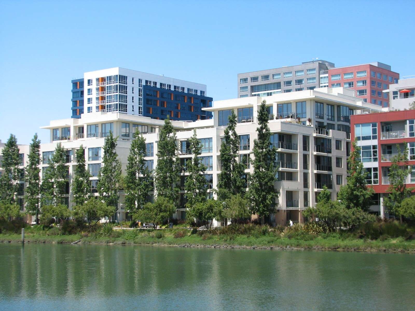
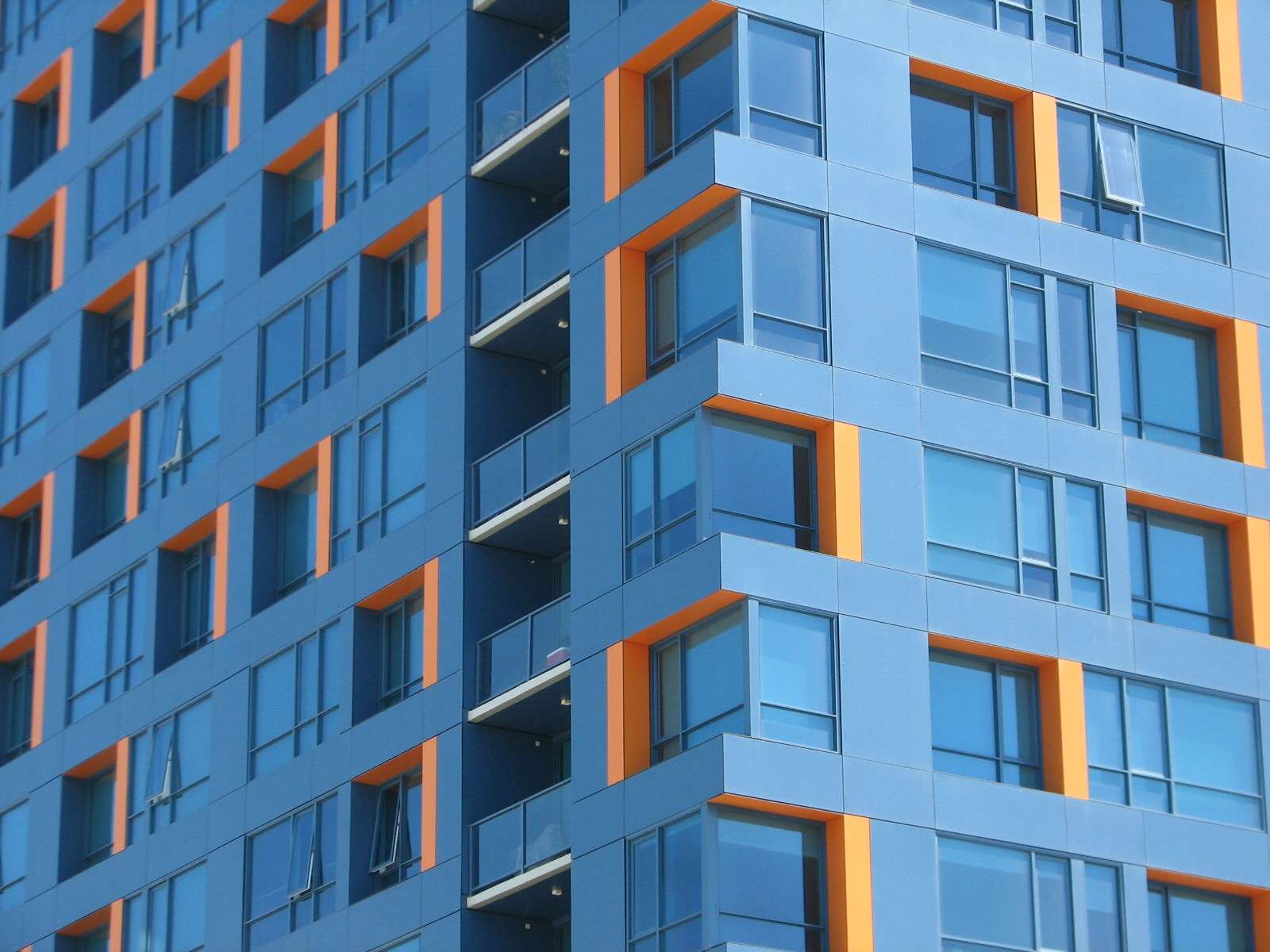
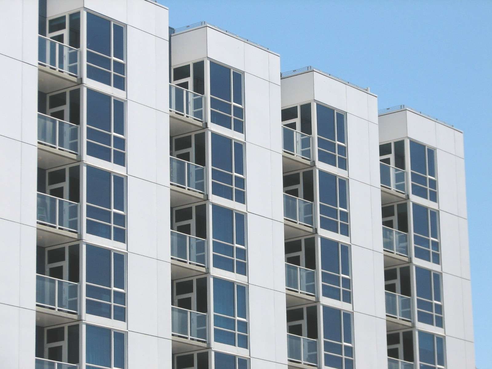
This thread focuses on the sliver of land along Mission Creek Channel, a manmade waterway about 1/2 mile long in the location of a small creekbed that led to the bay. The channel is on the Northern side of the development and its Northern bank is nearly at full build-out (in contrast to the rest of the site). This part of Mission Bay is dominated by residential buildings.
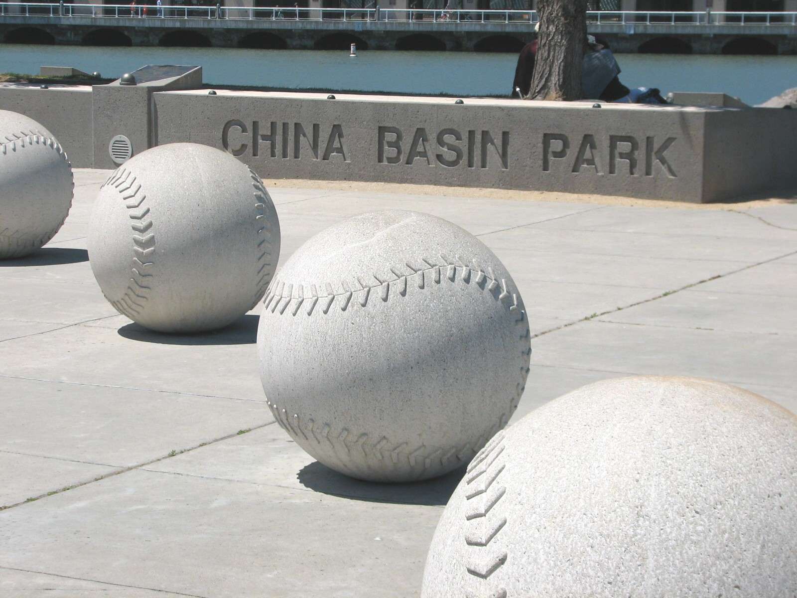
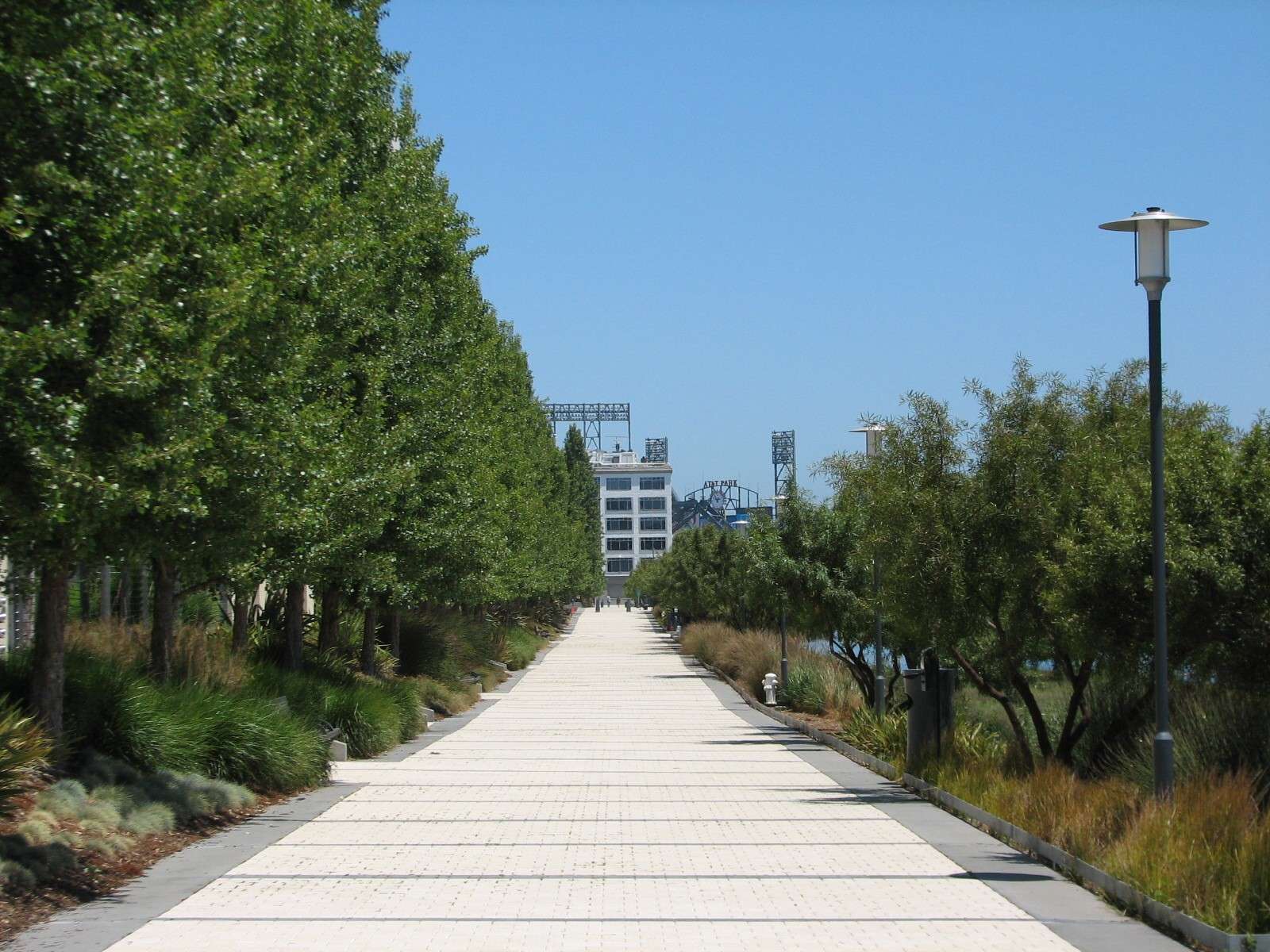
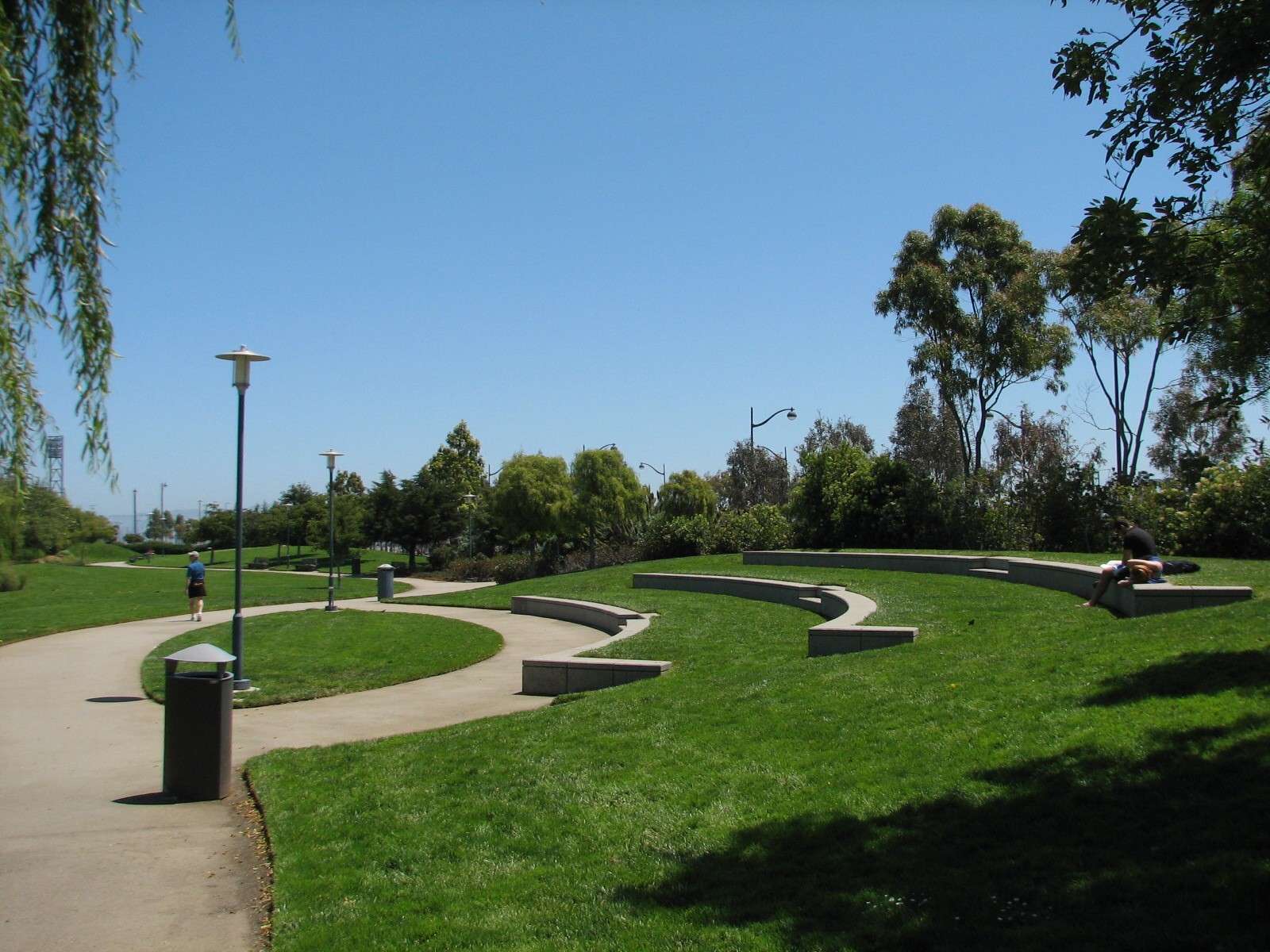
China Basin Park:
At the mouth of where Mission Creek Channel meets China Basin - part of San Francisco Bay - is this small shorefront park that relates to the baseball stadium on the other side of the channel.
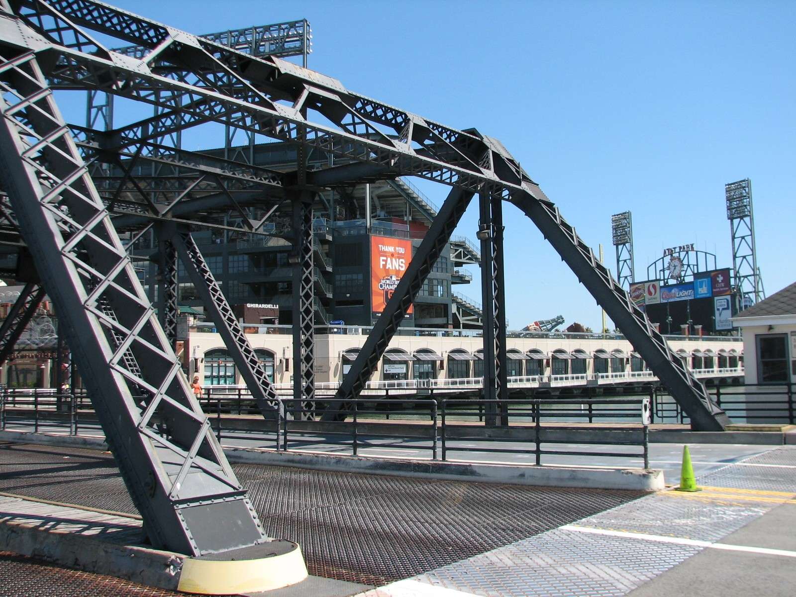
Lefty O'Doul Bridge:
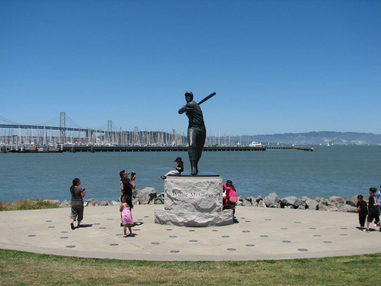
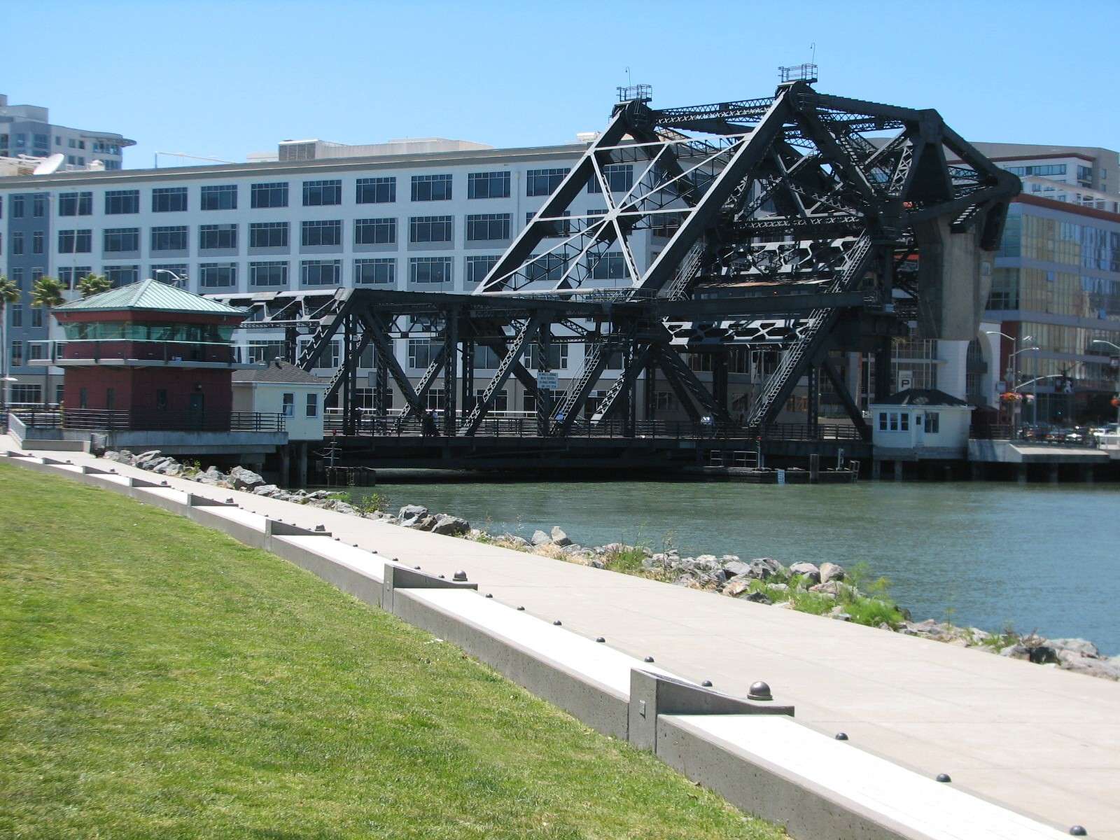
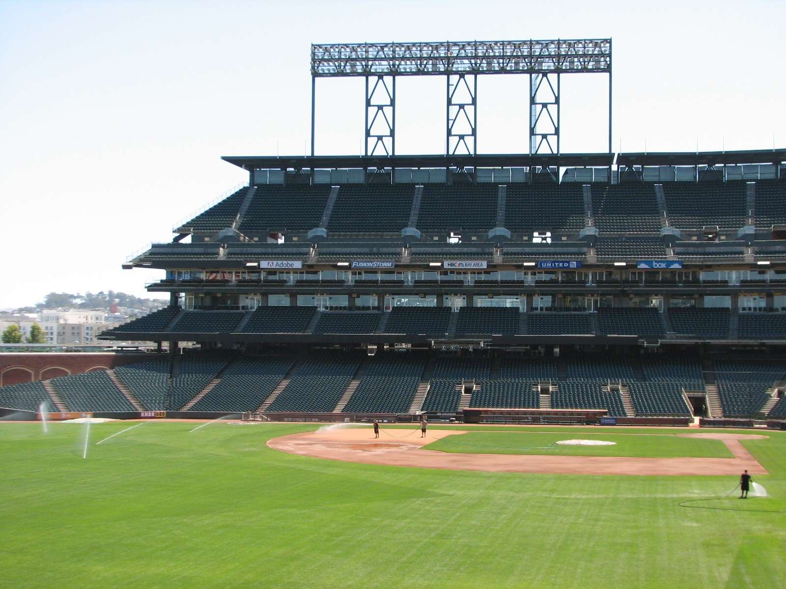
Originally called the China Basin Bridge when it opened in 1932, this is one of the few historic features in the area and provides a crossing for vehicles and pedestrians over Mission Creek Channel. The baseball stadium's lighting banks and stand support structures reverentially echo the bridge's material and structure.
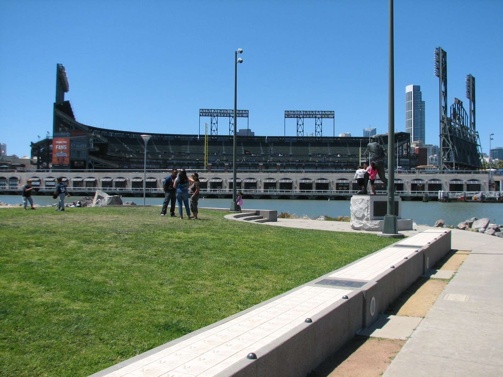
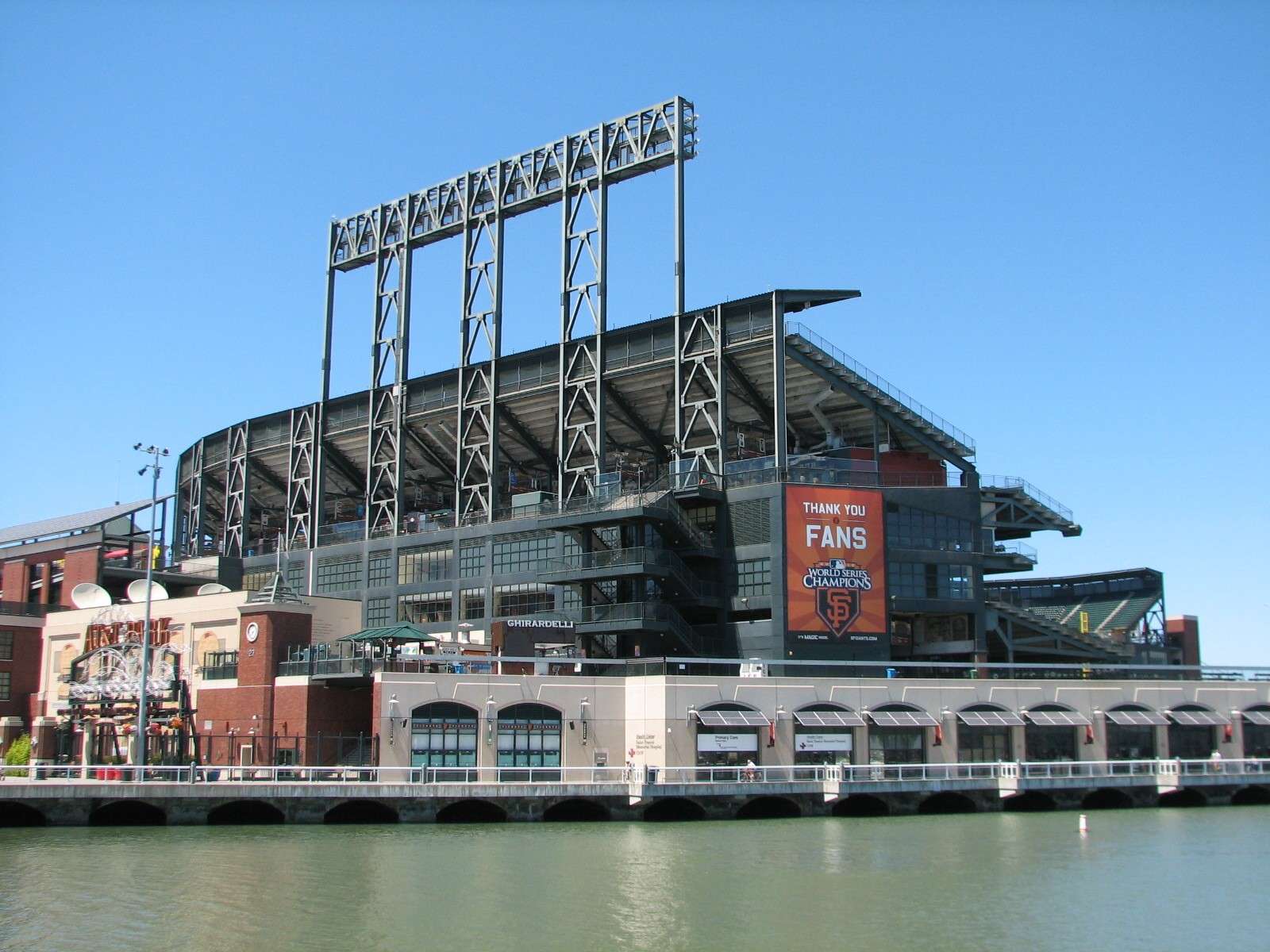
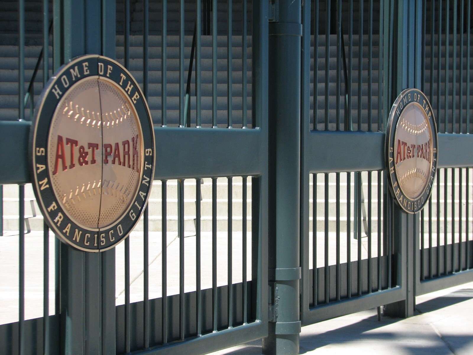
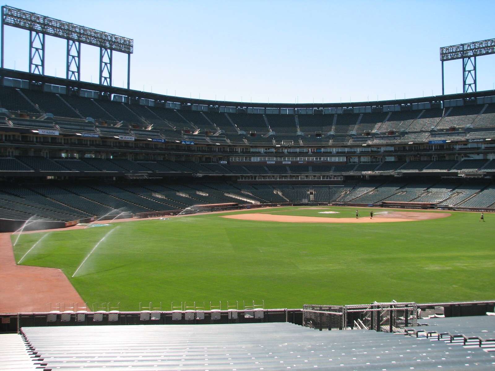
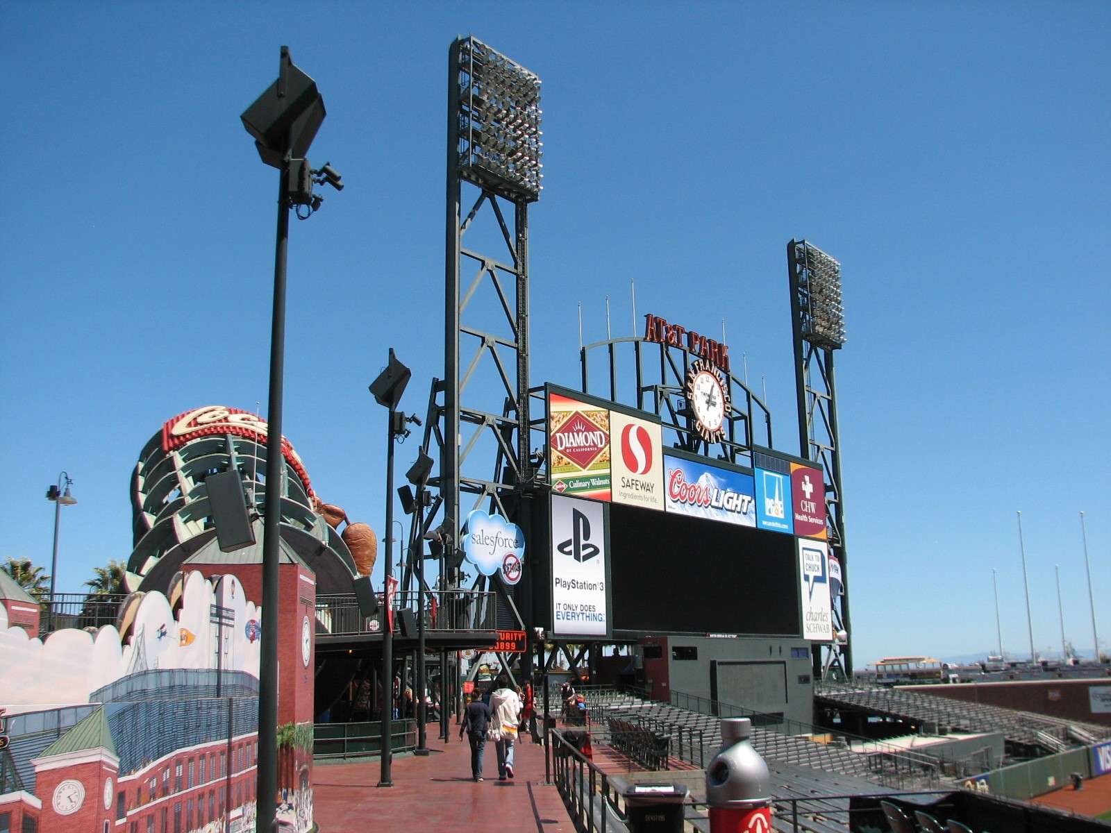
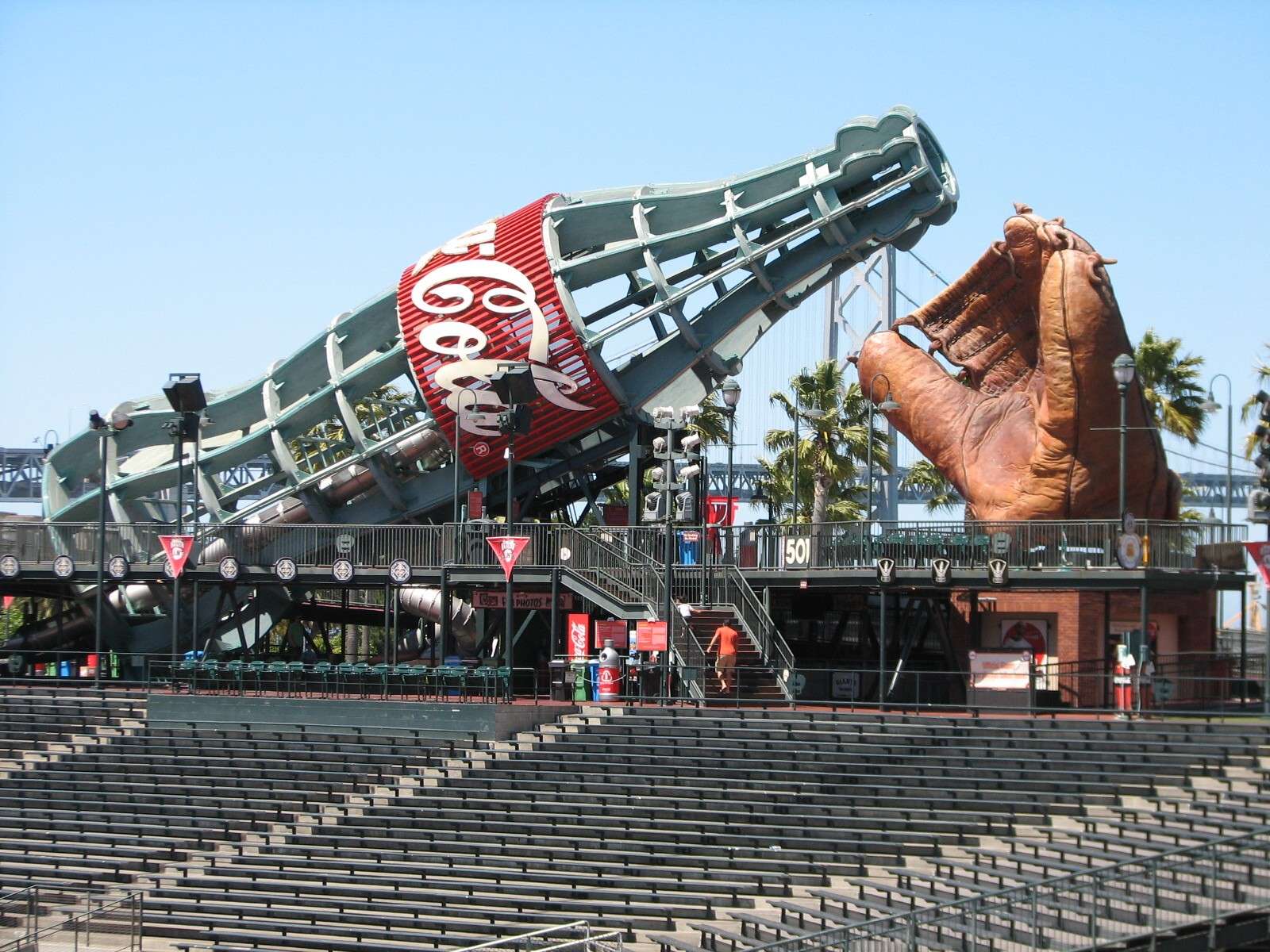
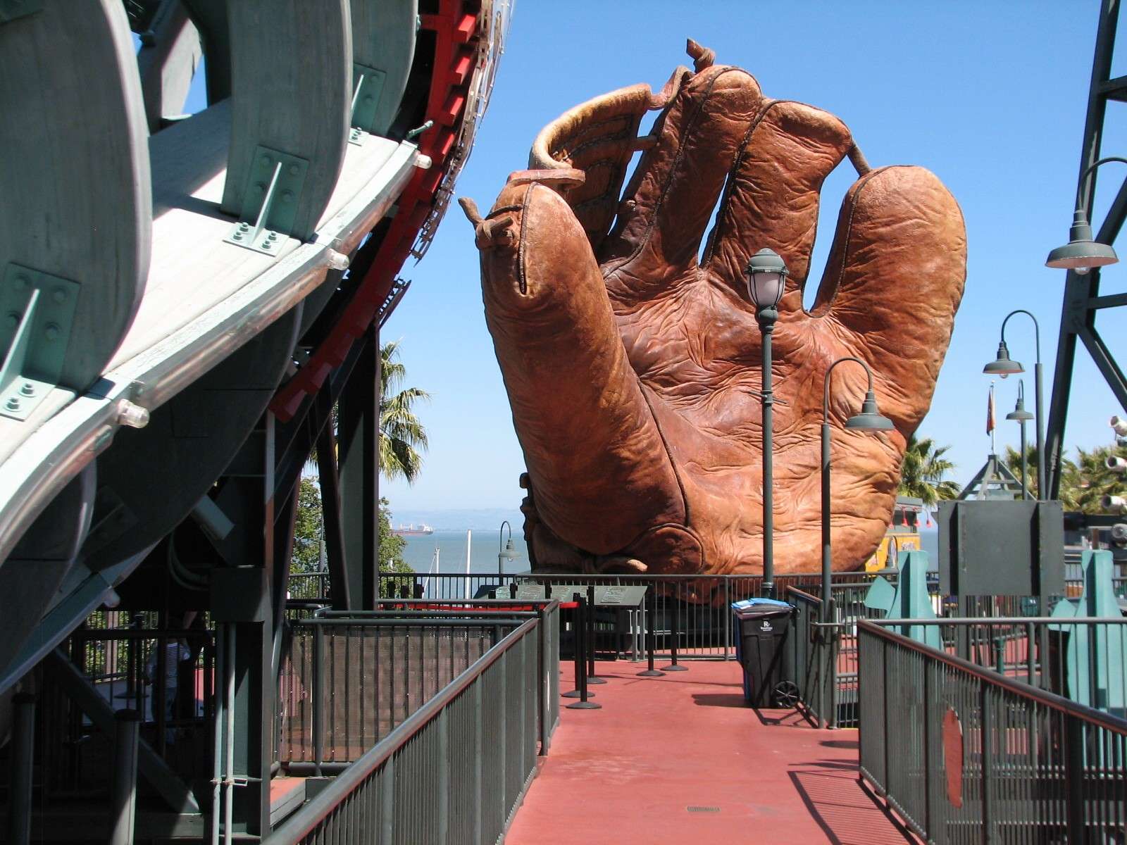
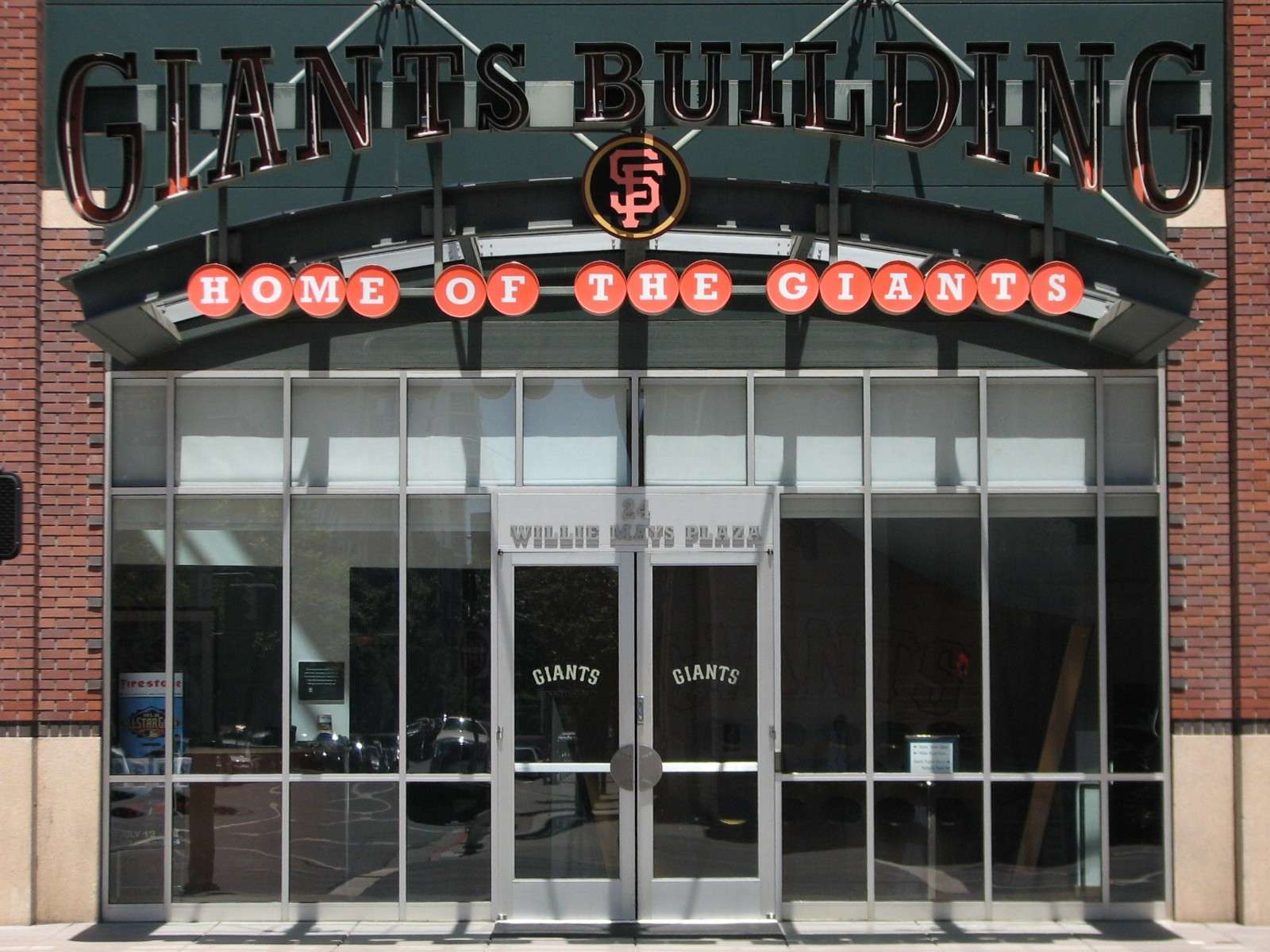
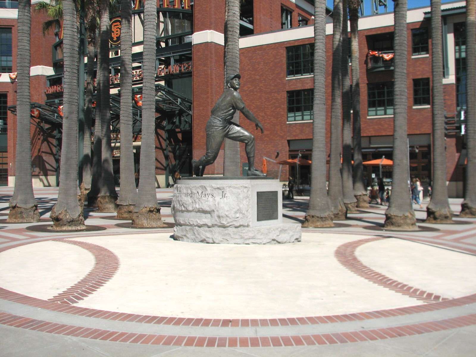
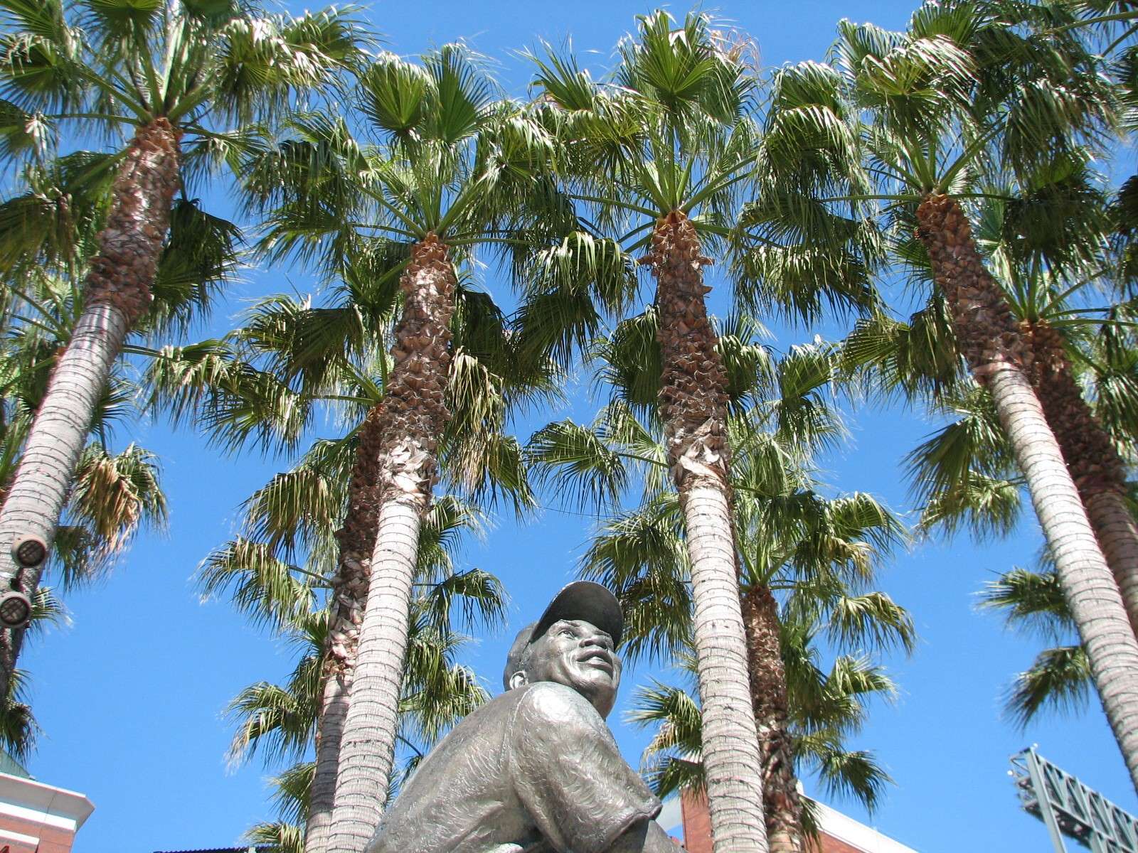
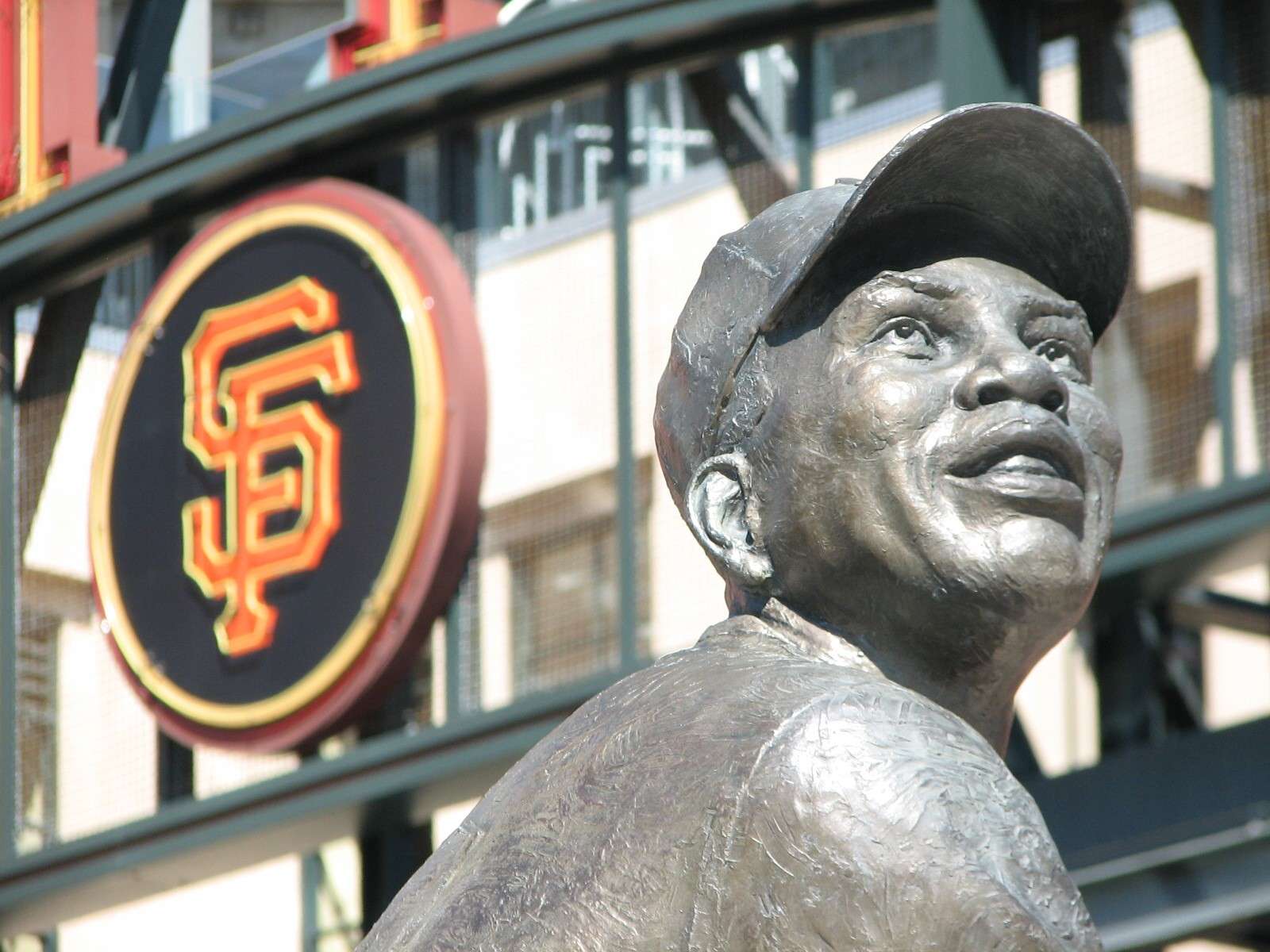
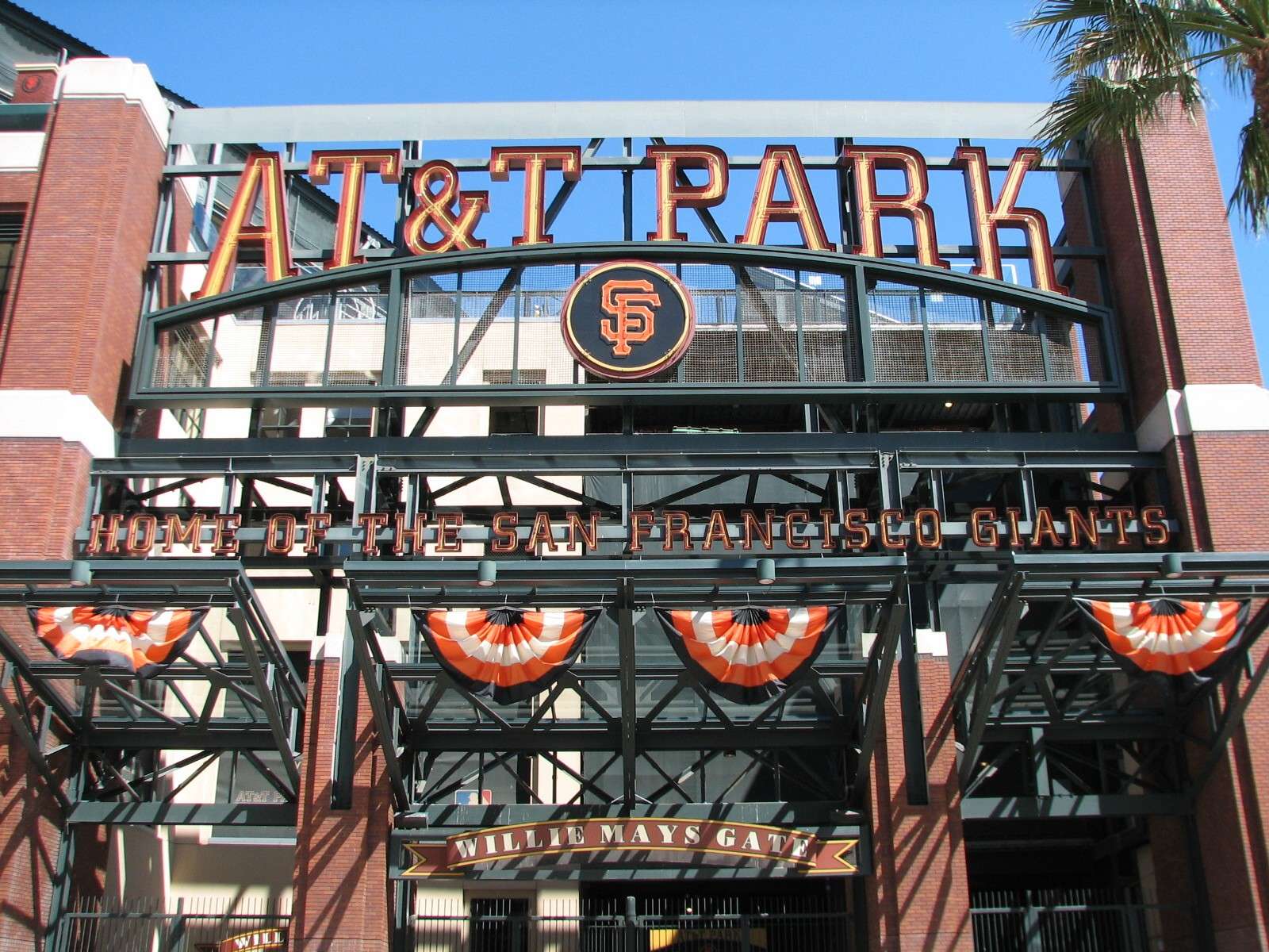
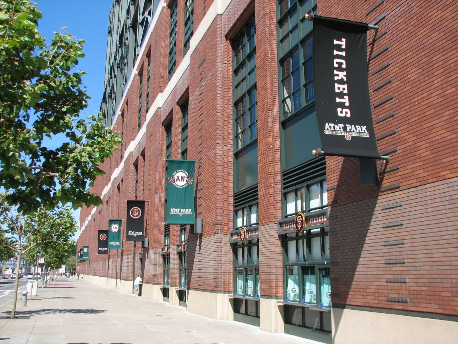
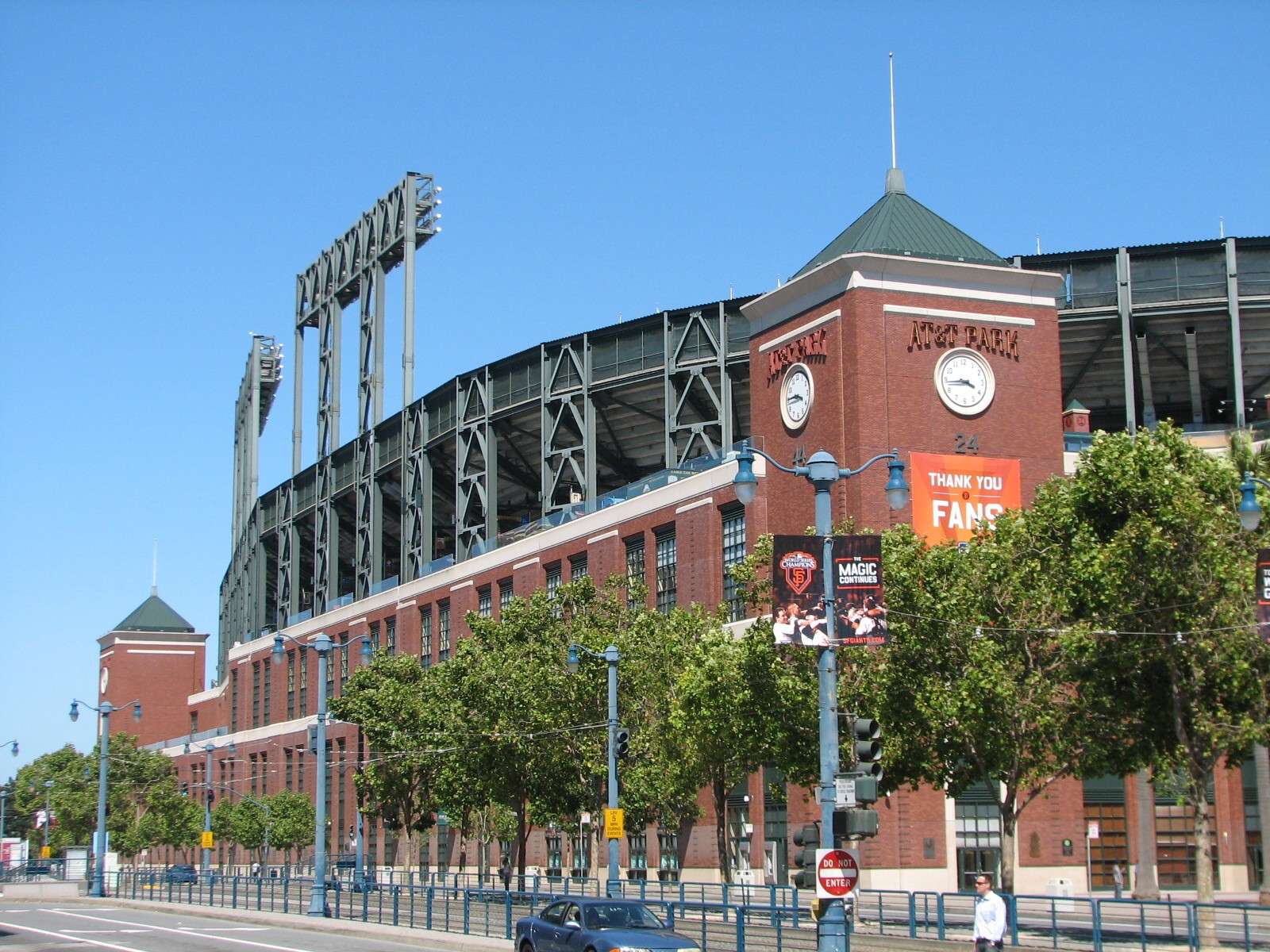
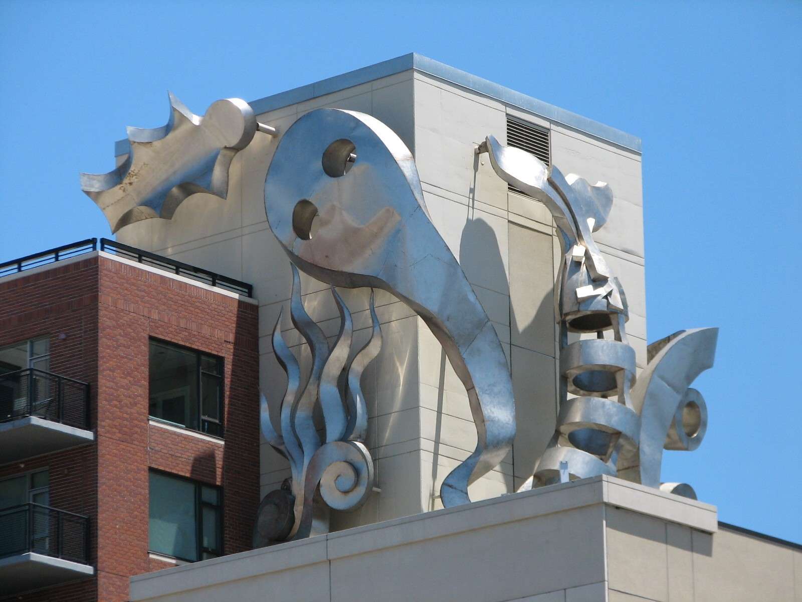
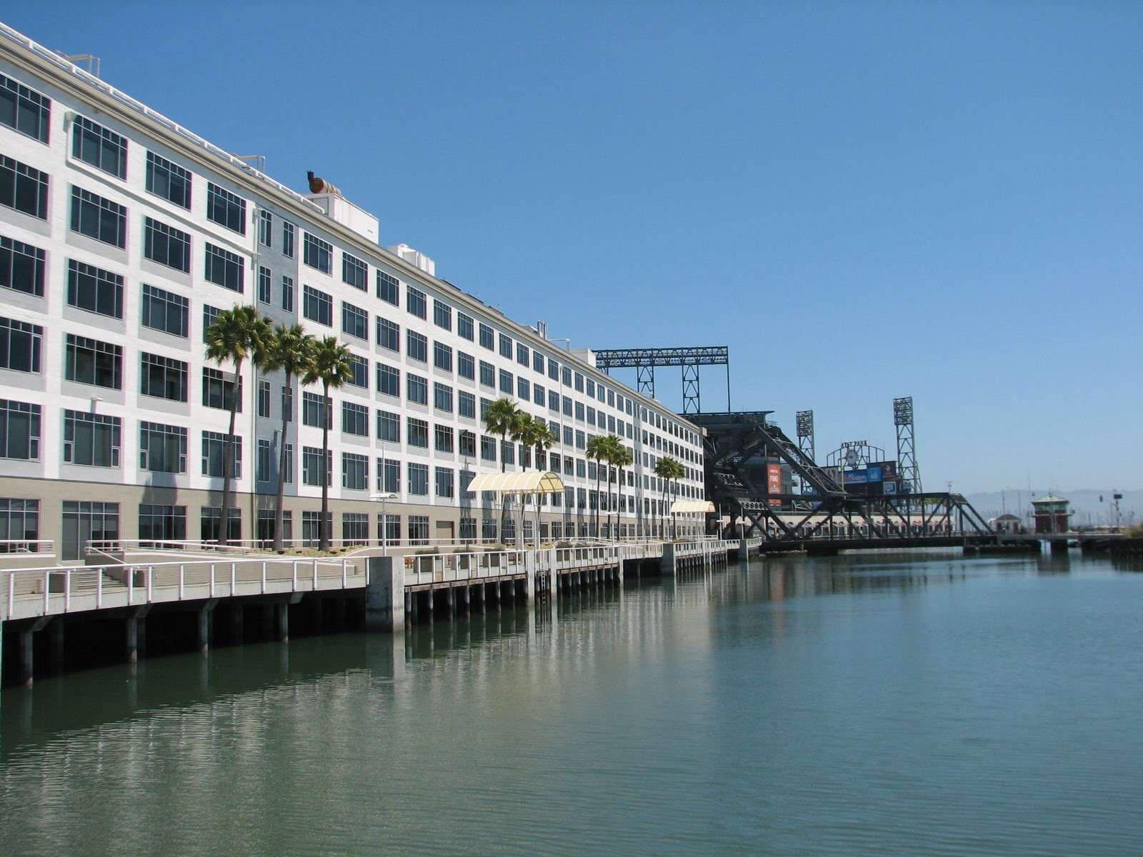
AT&T Park:
Opened in 2000 as Pacific Bell Park, this modern baseball stadium for the San Francisco Giants takes its design cues from the nearby brick warehouses and metal bridges of the vicinity's heritage. Its location is considered by many as the Southern end of South Beach (a sub-neighborhood of South of Market) or the Southern end of the Embarcadero. However, being on the bank of Mission Creek Channel, I include it here.


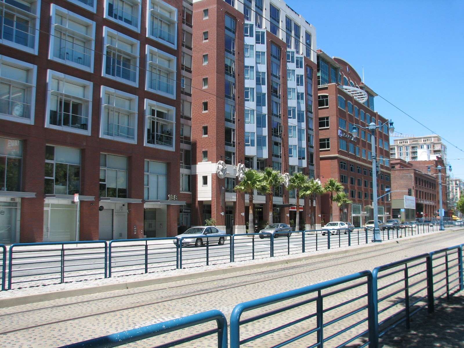
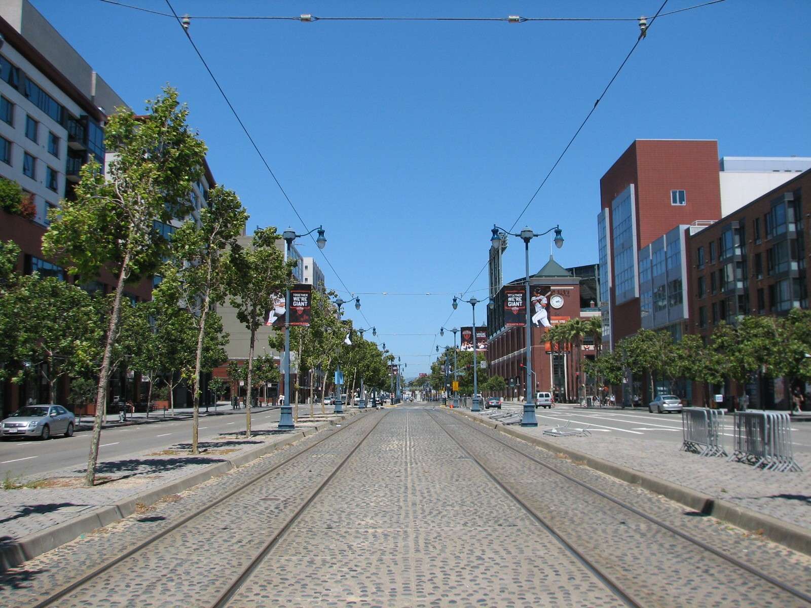
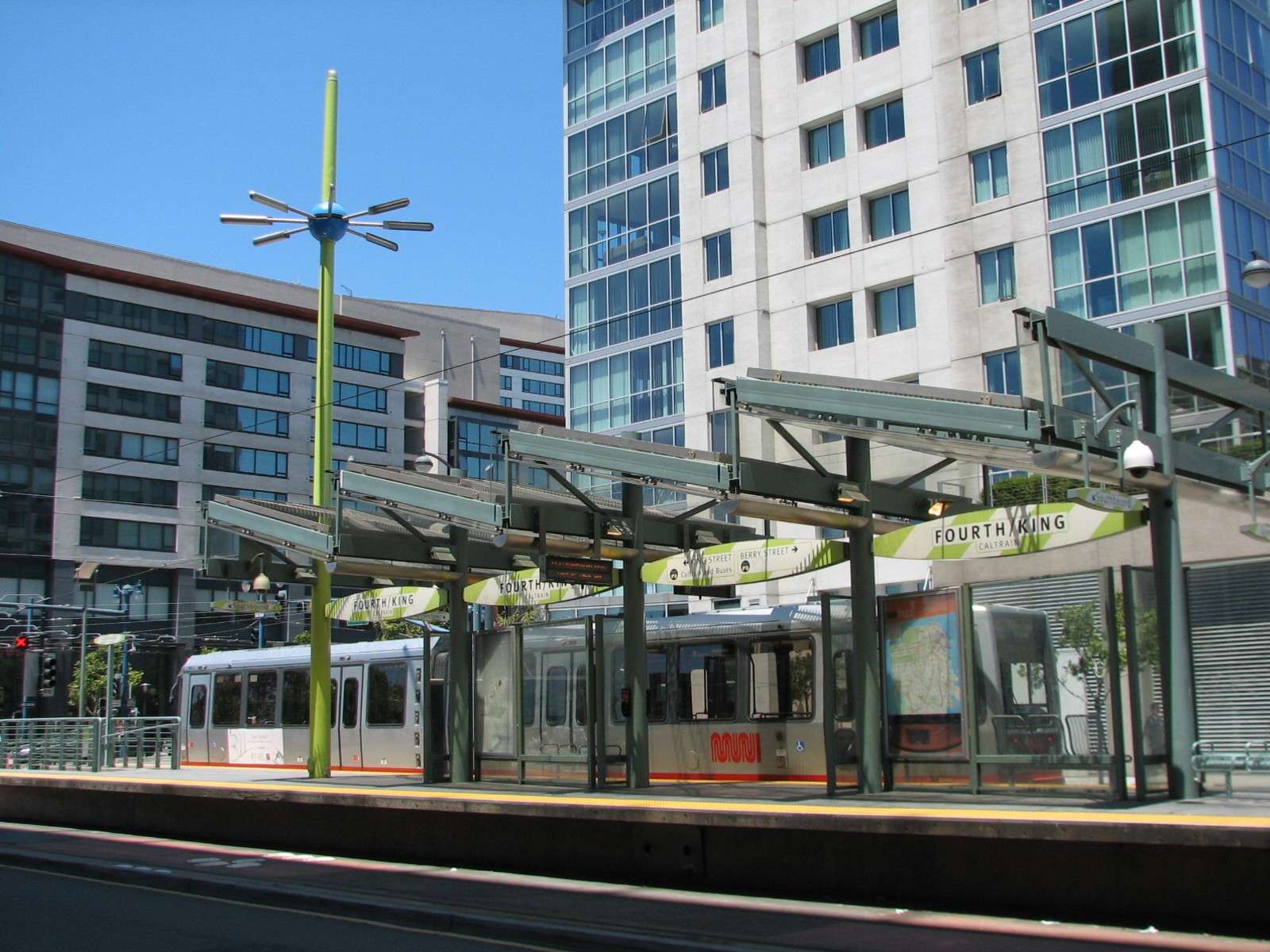
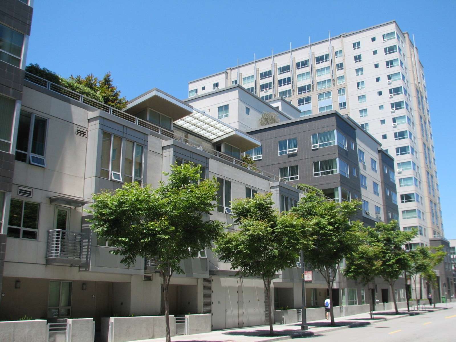
King Street:
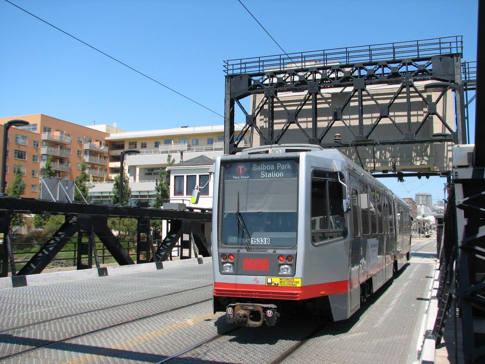
This wide boulevard forms the Northwestern border of the neighborhood and features several blocks of the T-line light rail that connects the area to the downtown areas and some other parts of the city. It runs in front of AT&T Park; across the street in this block are a mix of historic and modern brick building facades that inspired or were inspired by the baseball stadium.

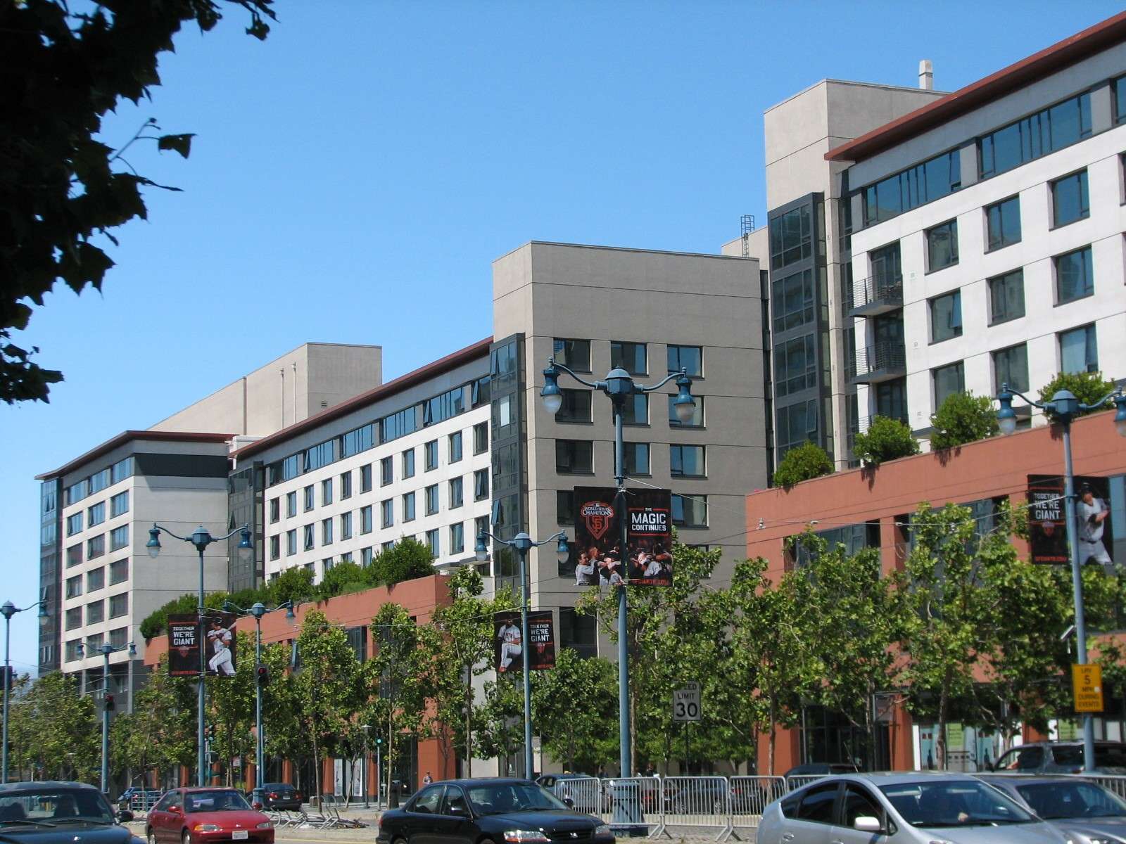
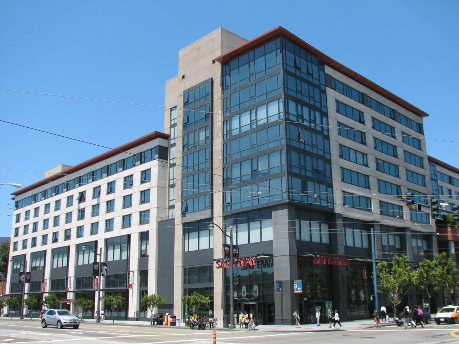
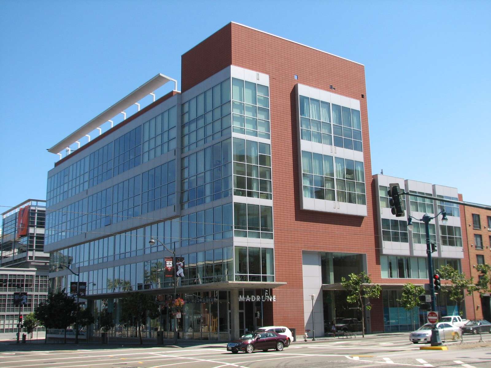
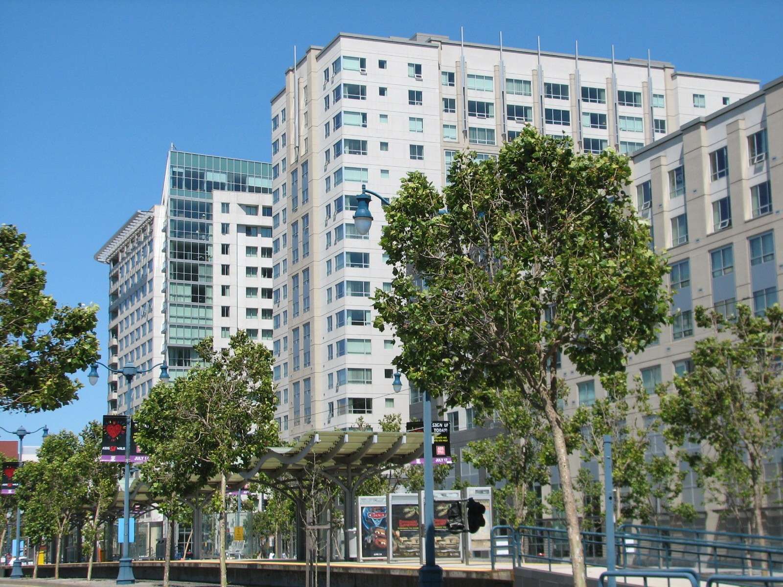
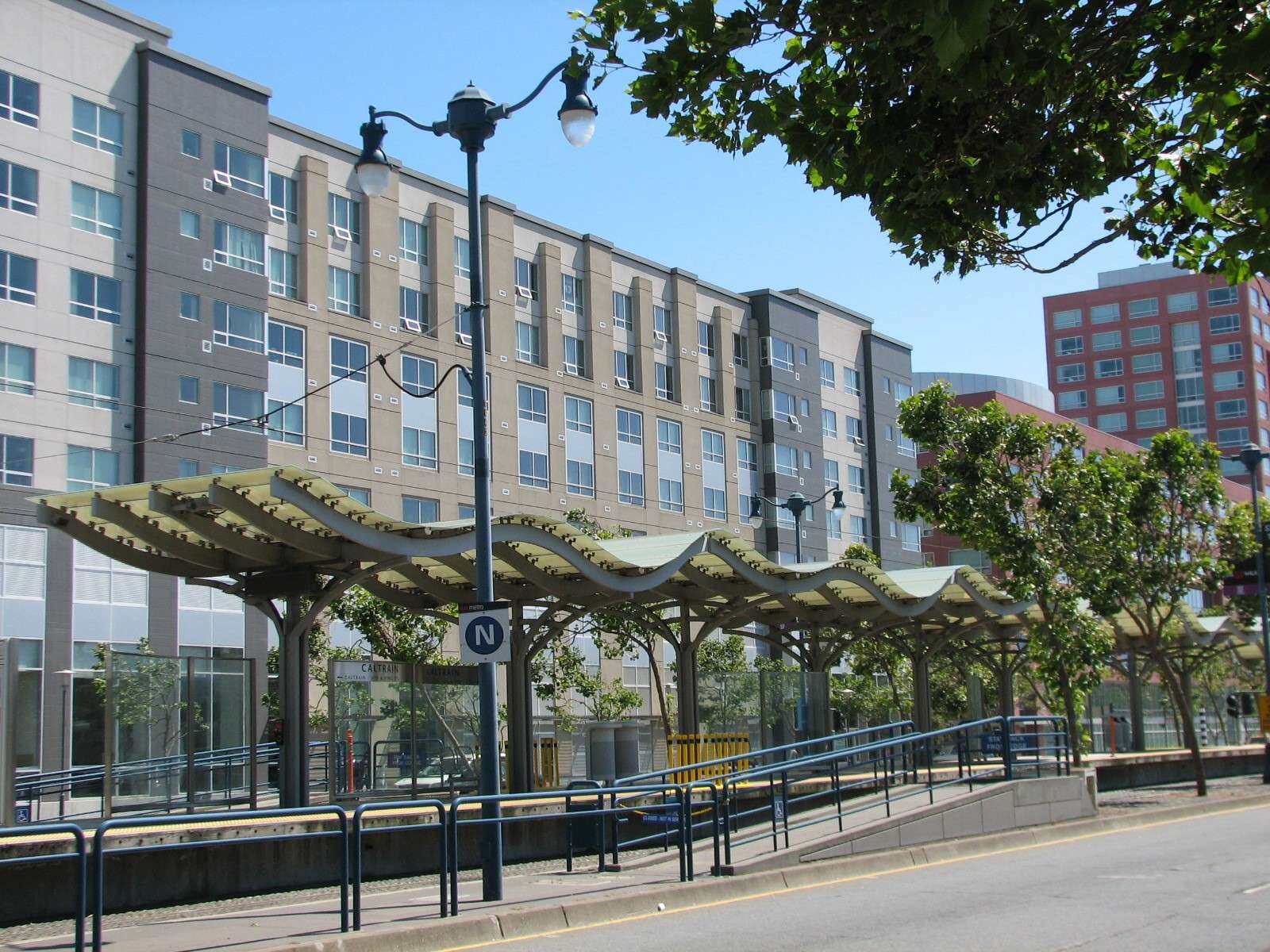
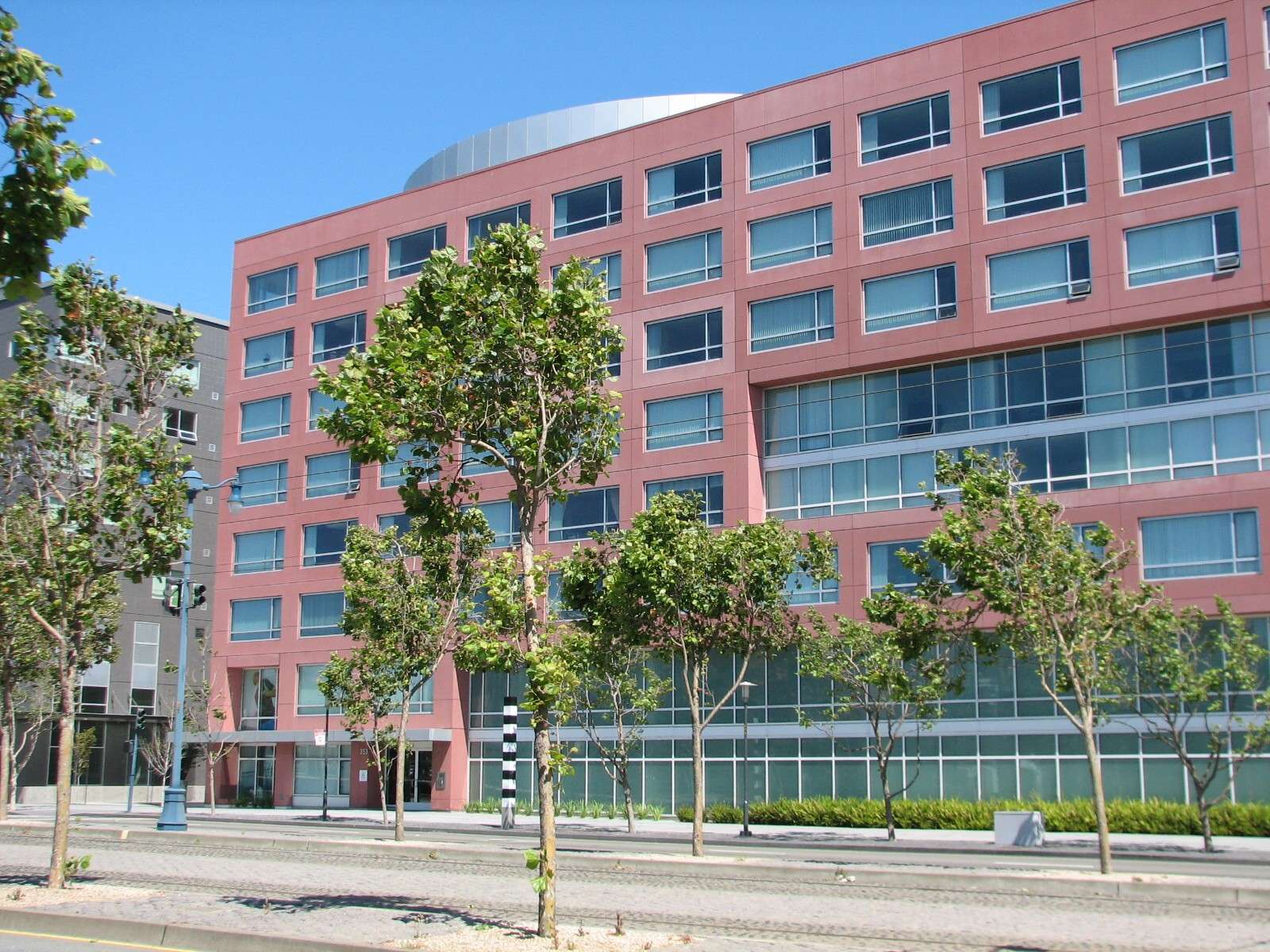
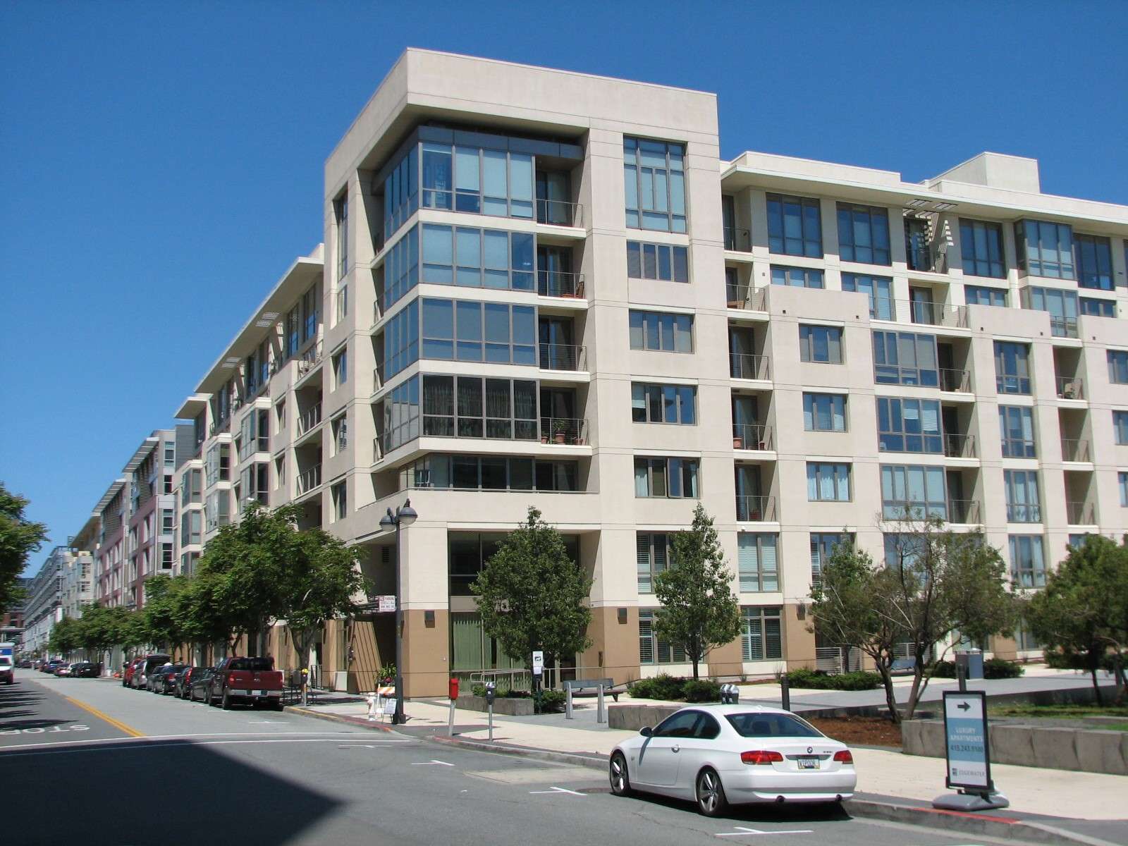
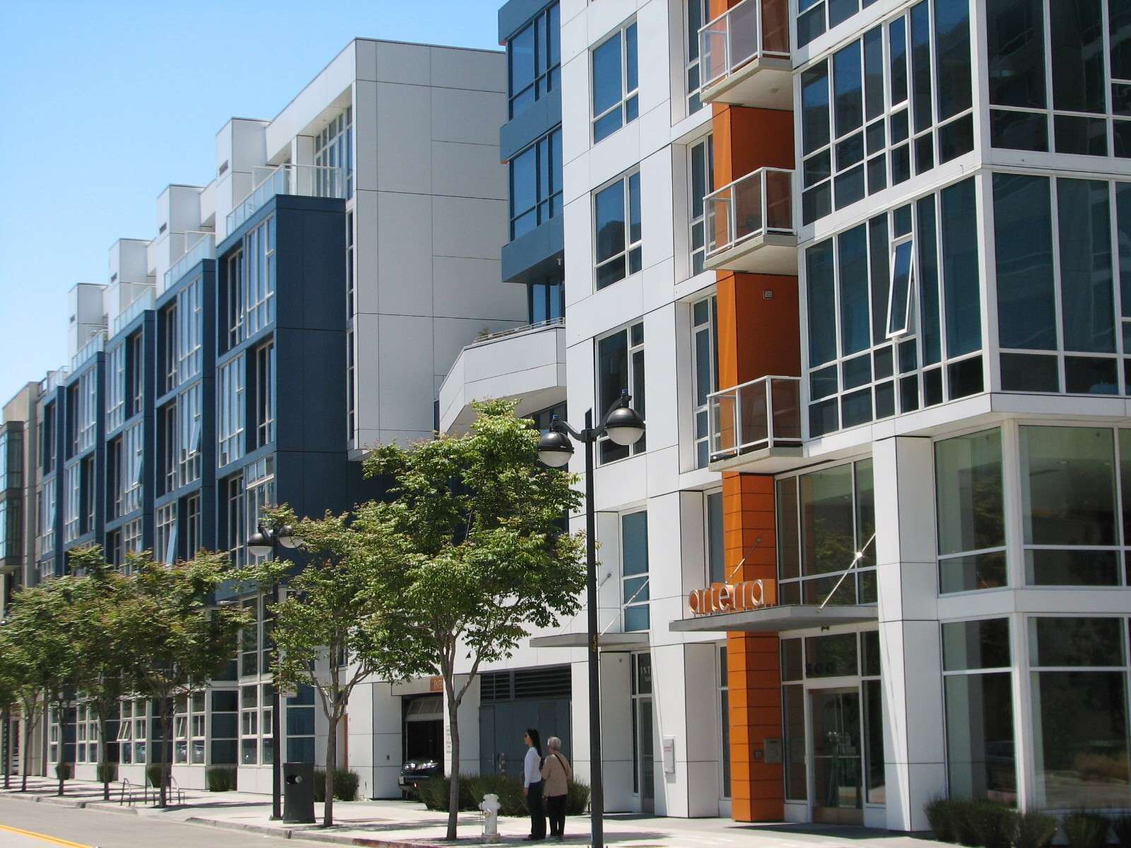
The Beacon:
This large condo complex also features a grocery store, bowling alley, and various small streetside retail and dining along its King Street side.
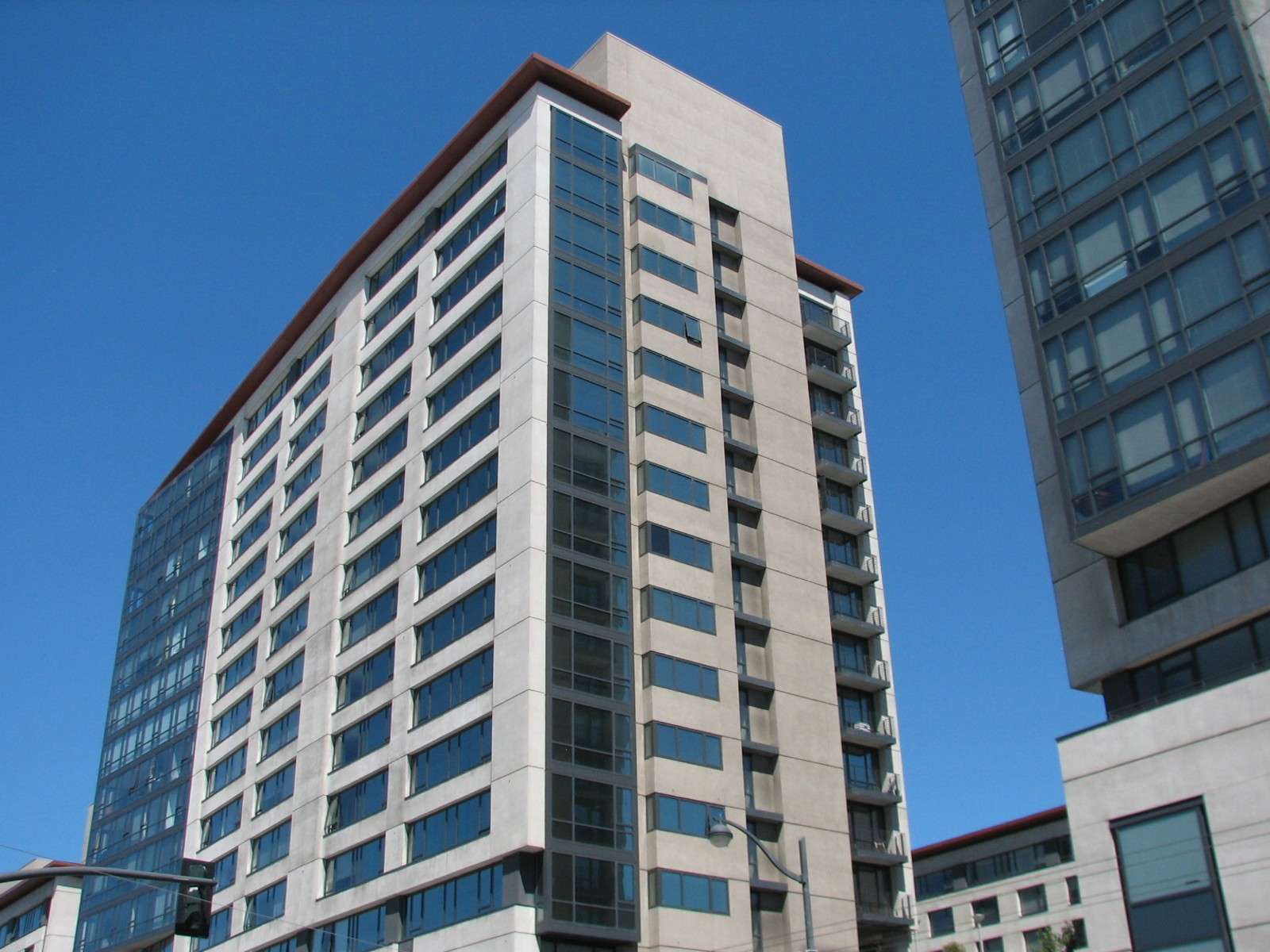
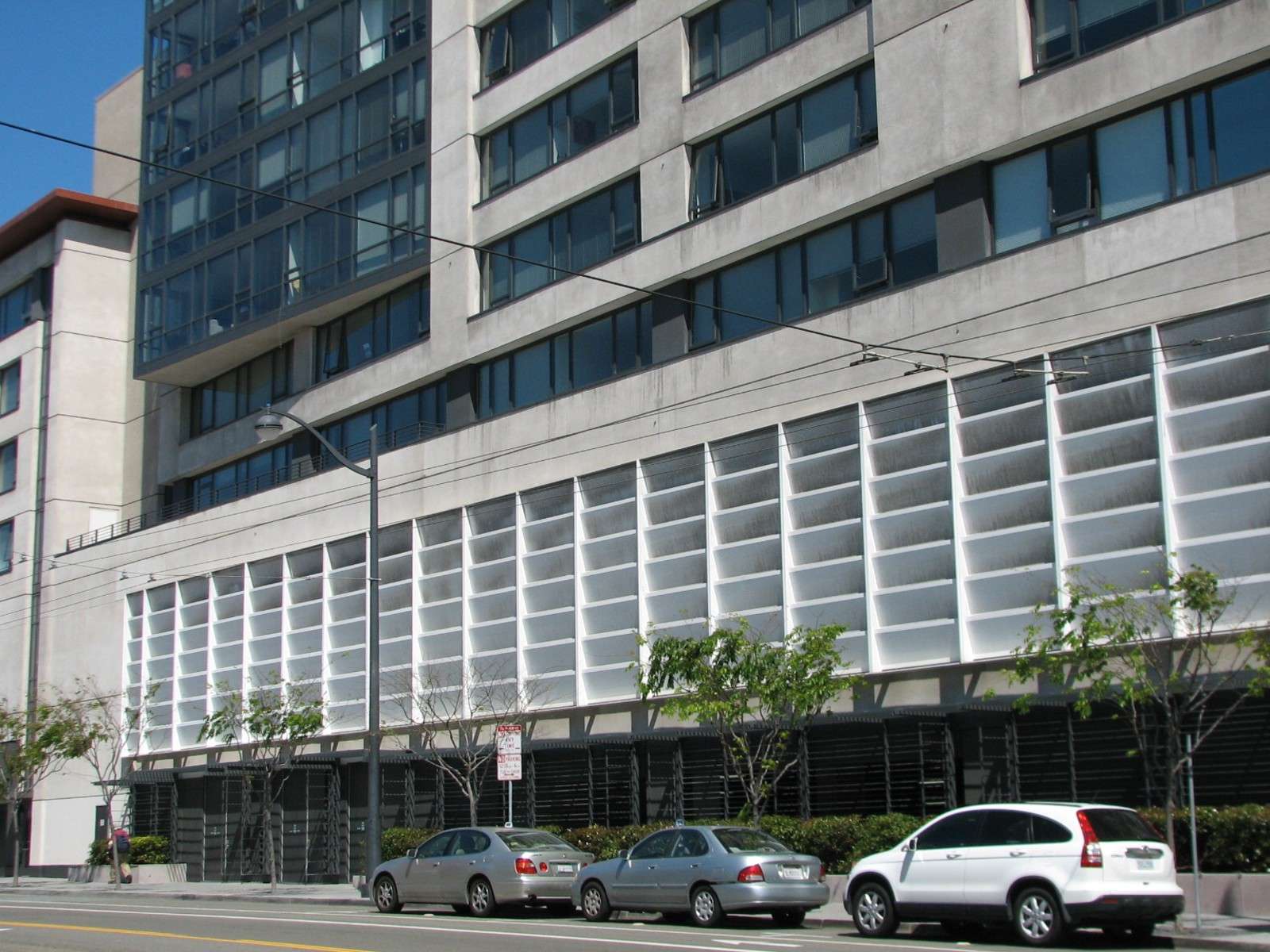
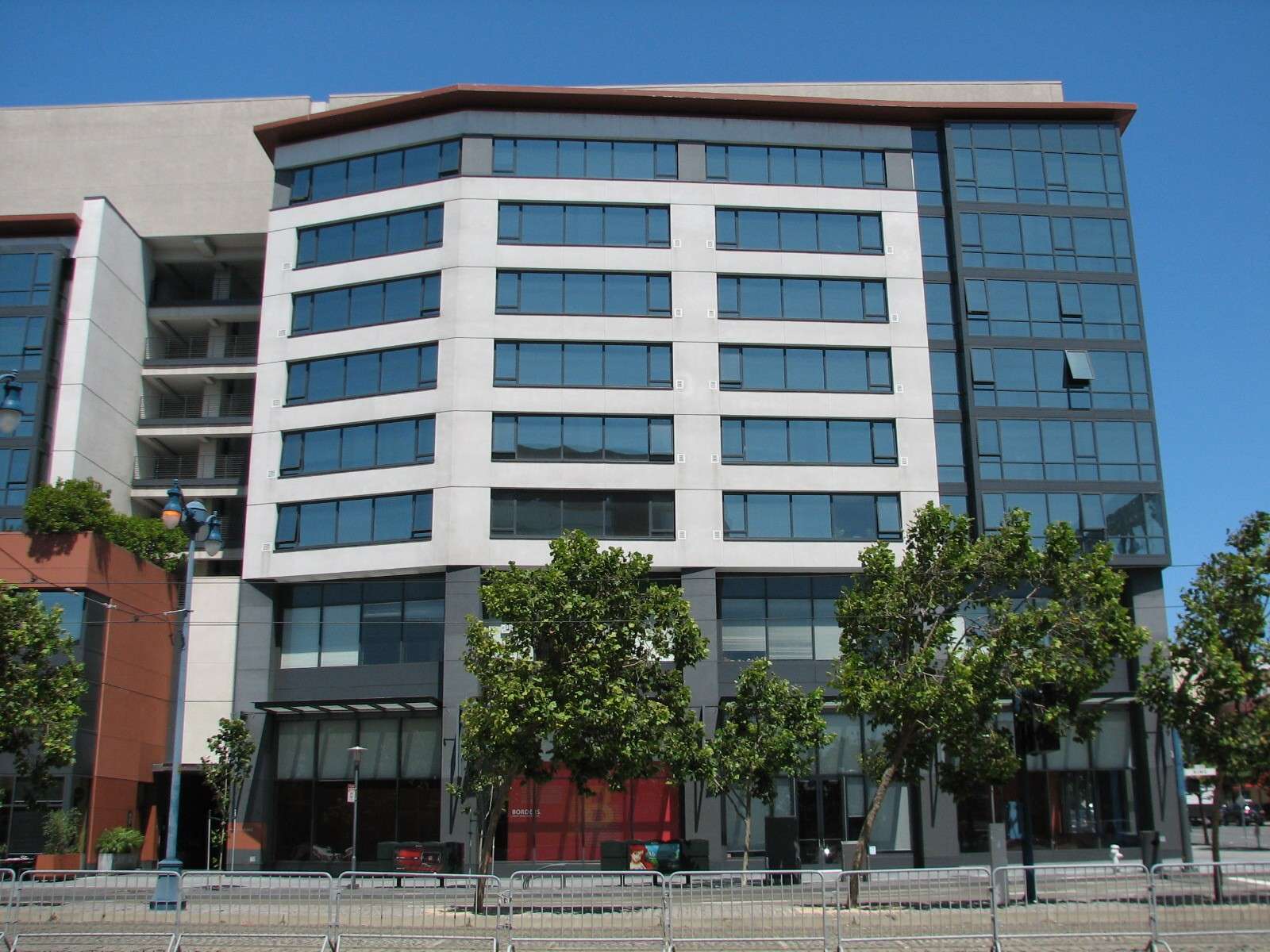
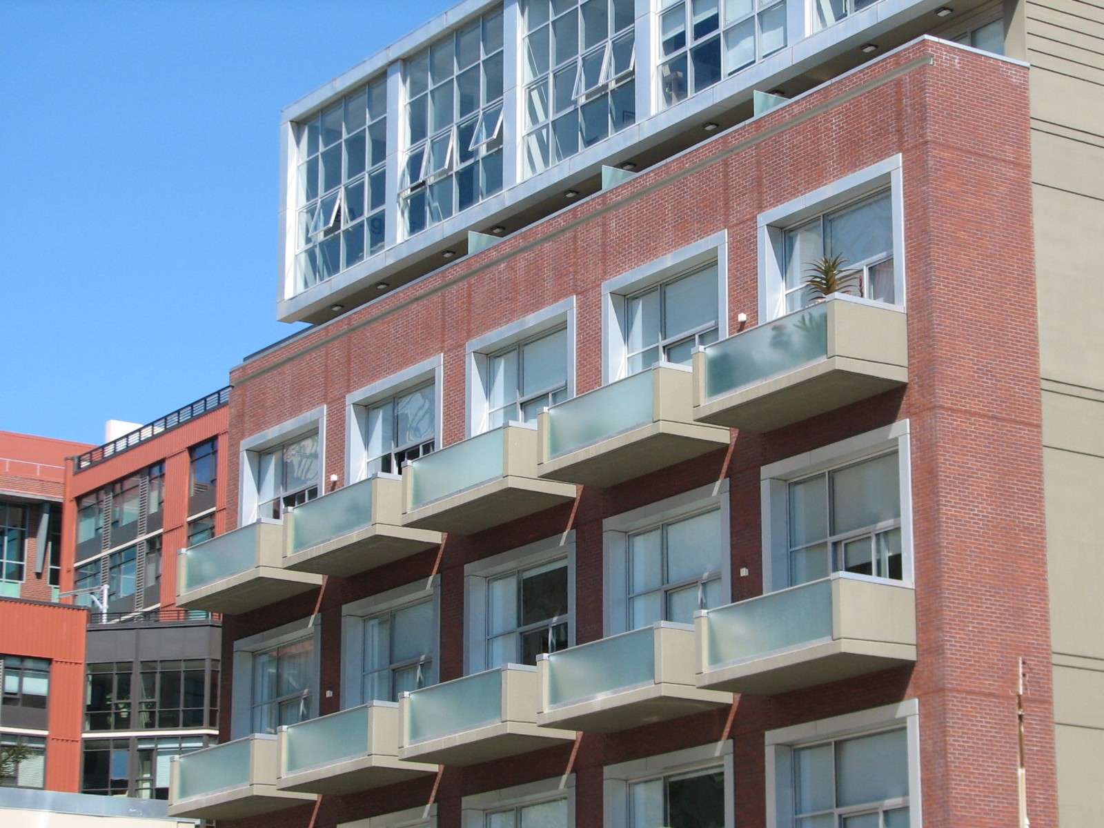
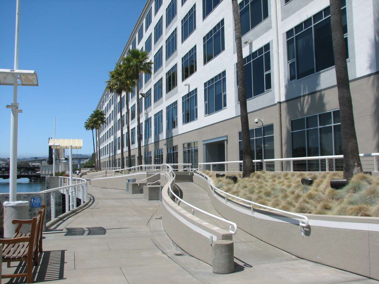
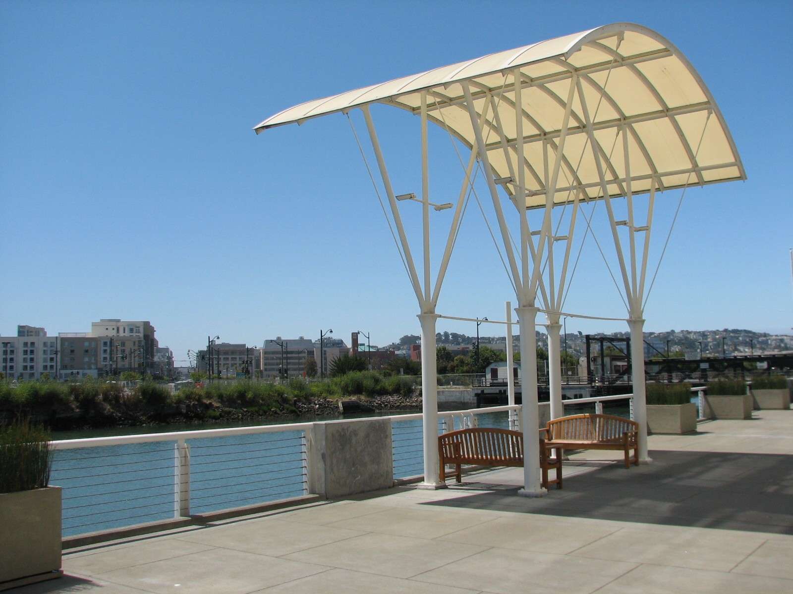
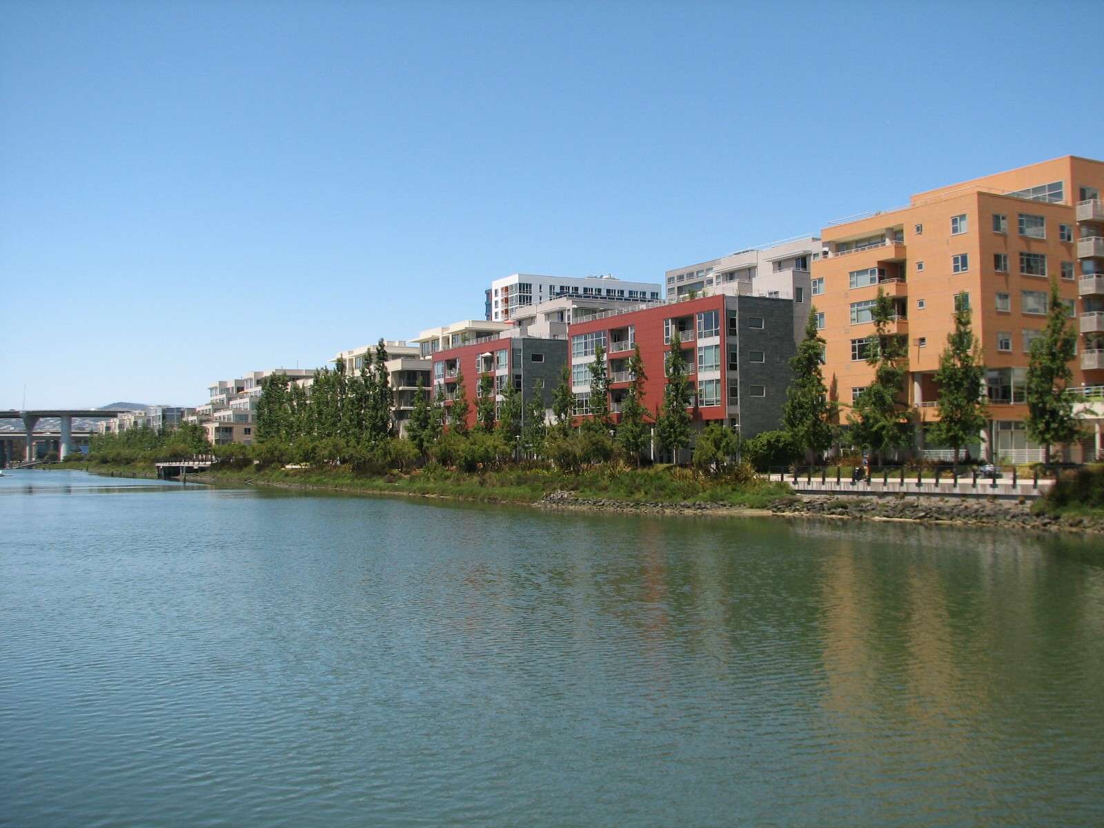
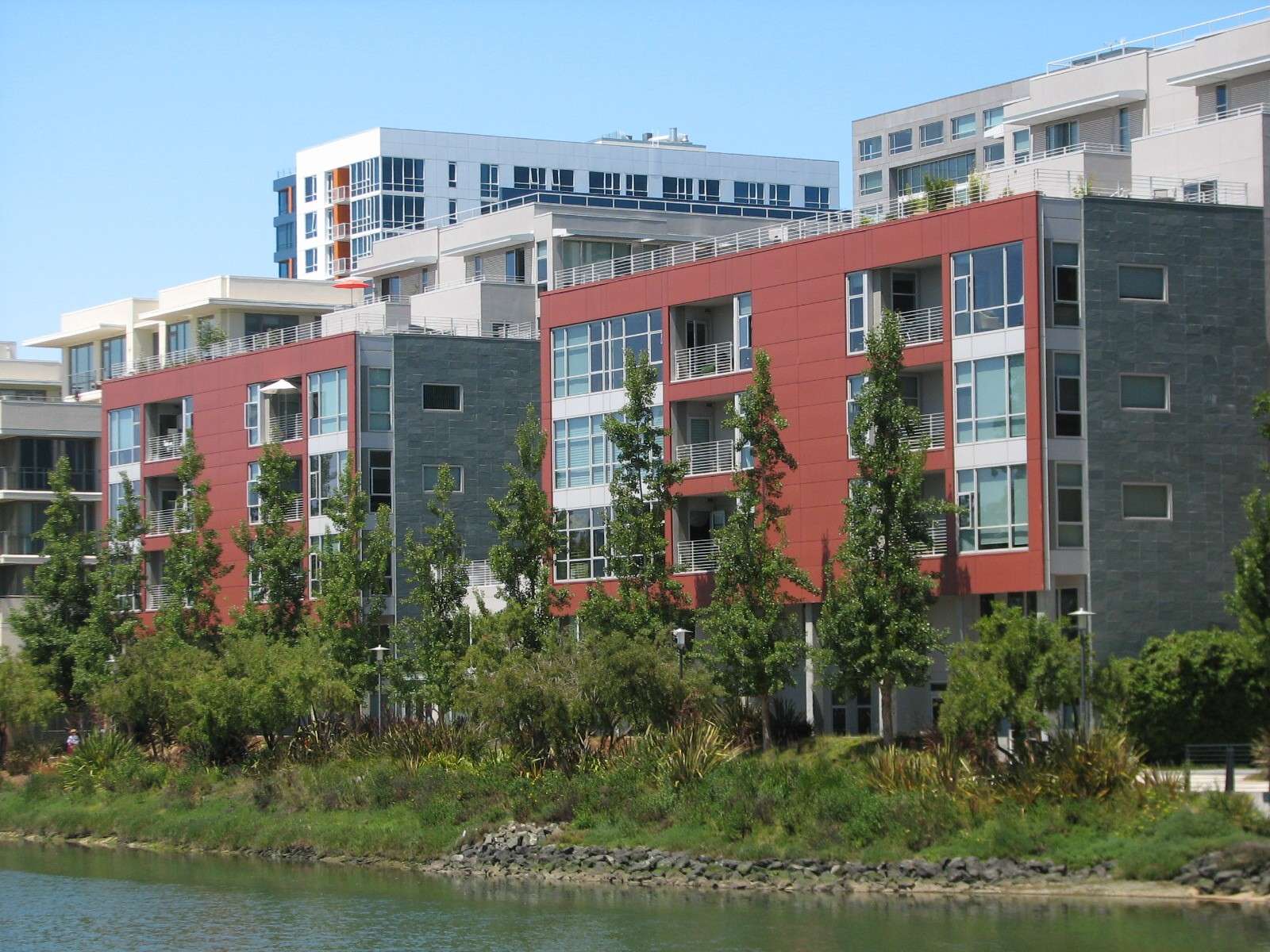
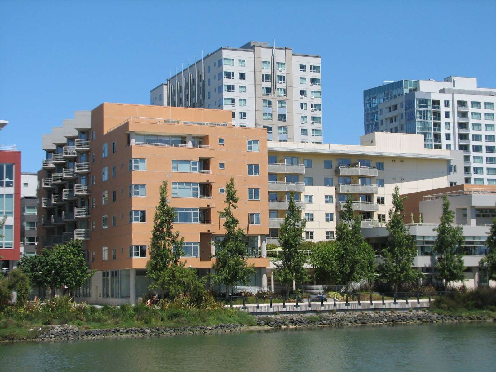
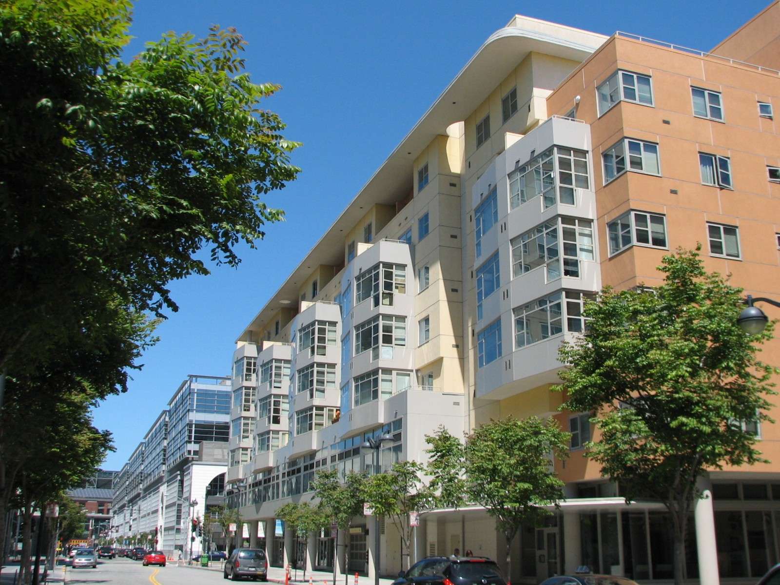
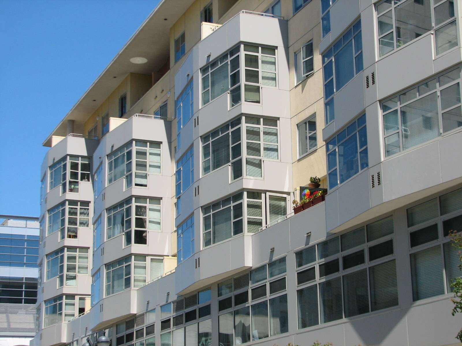
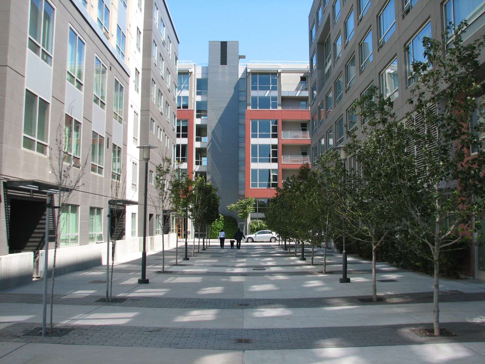
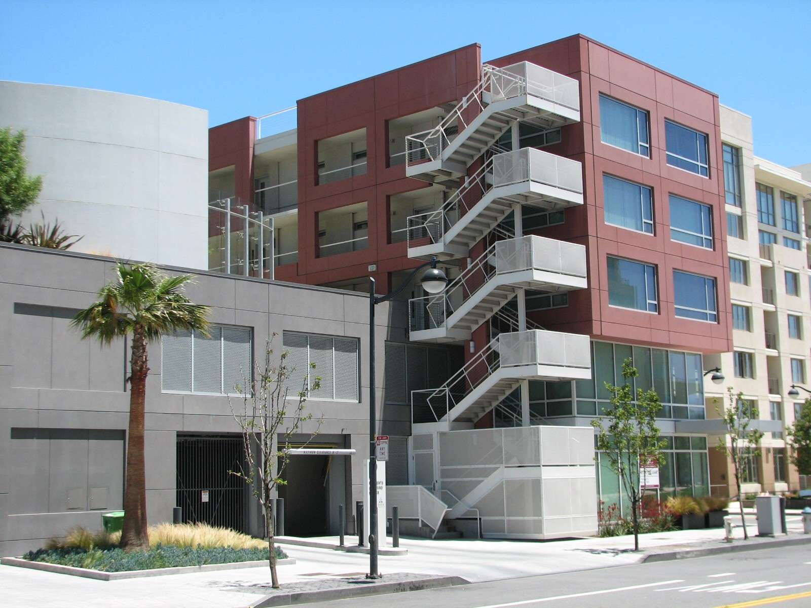
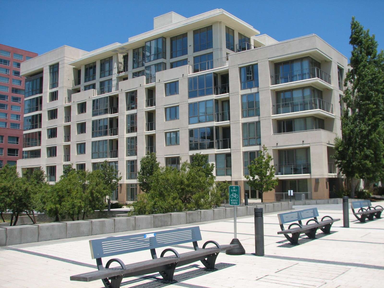
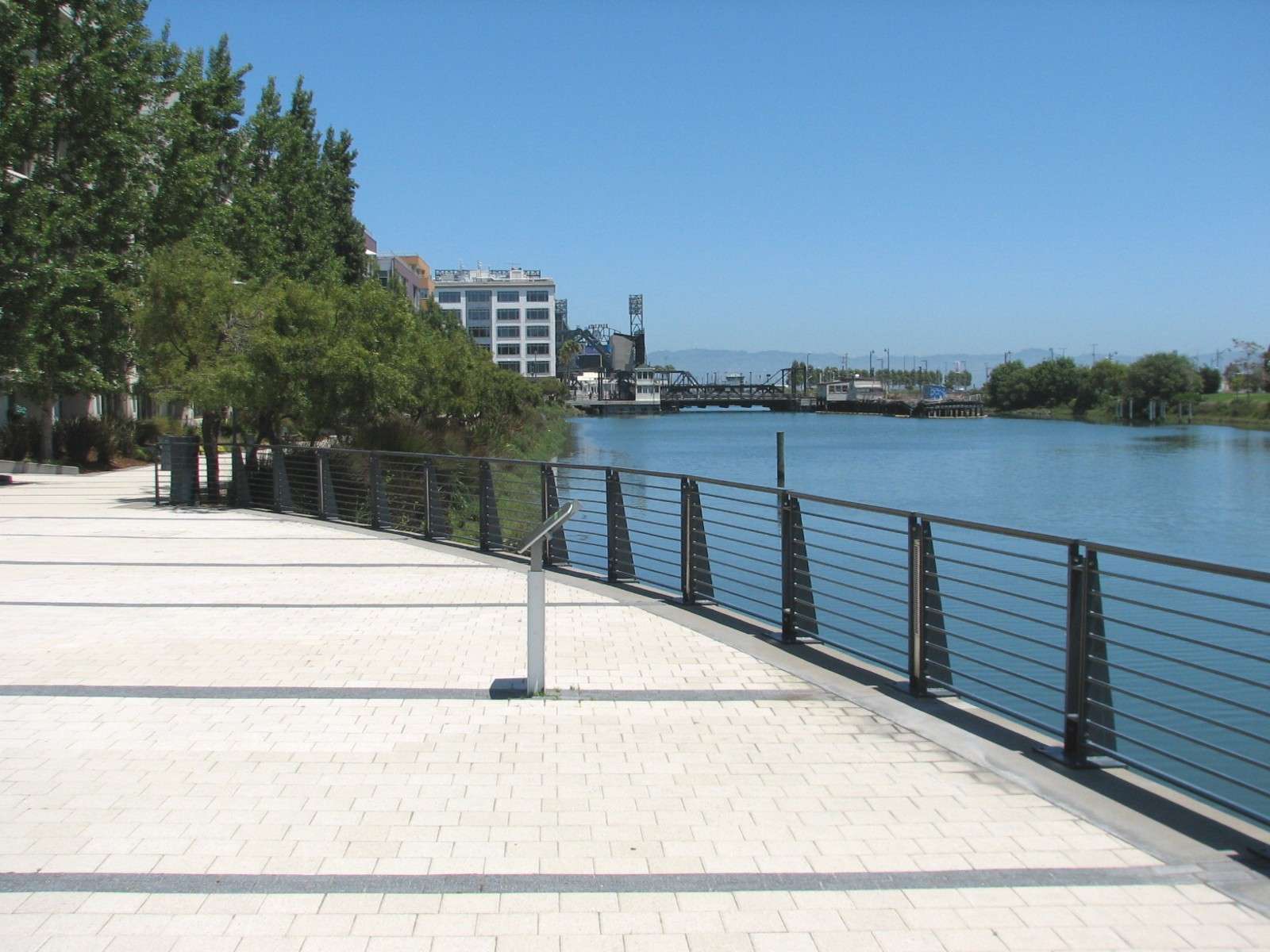
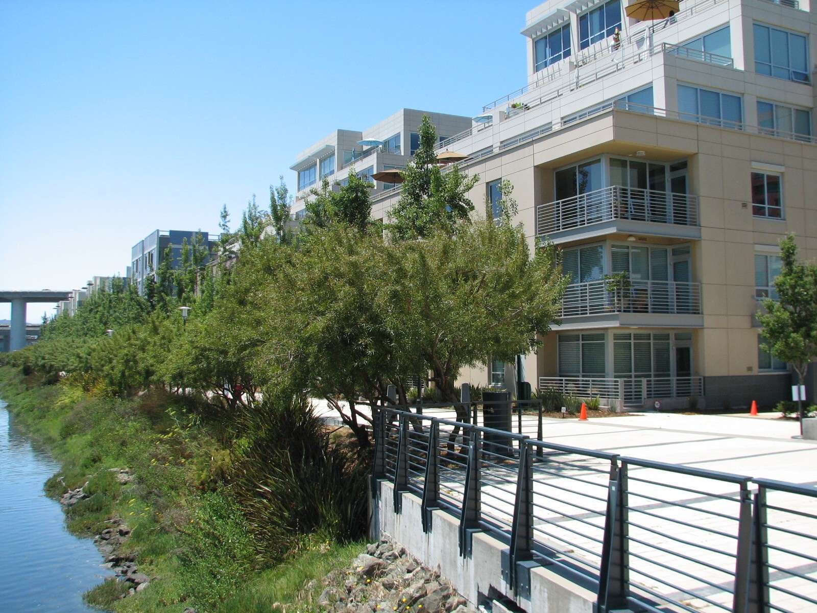
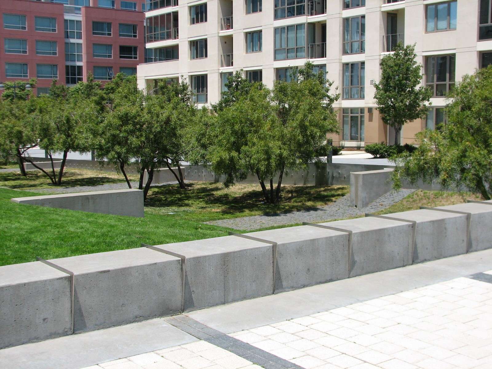
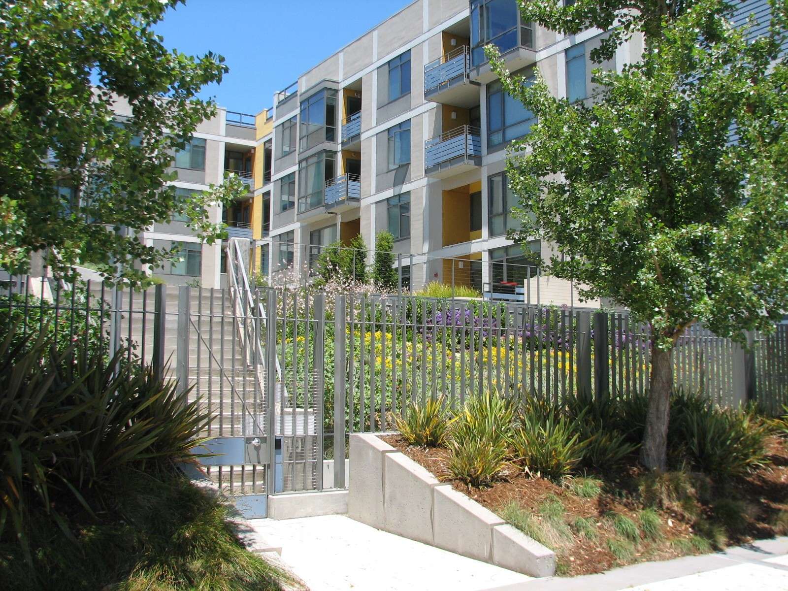
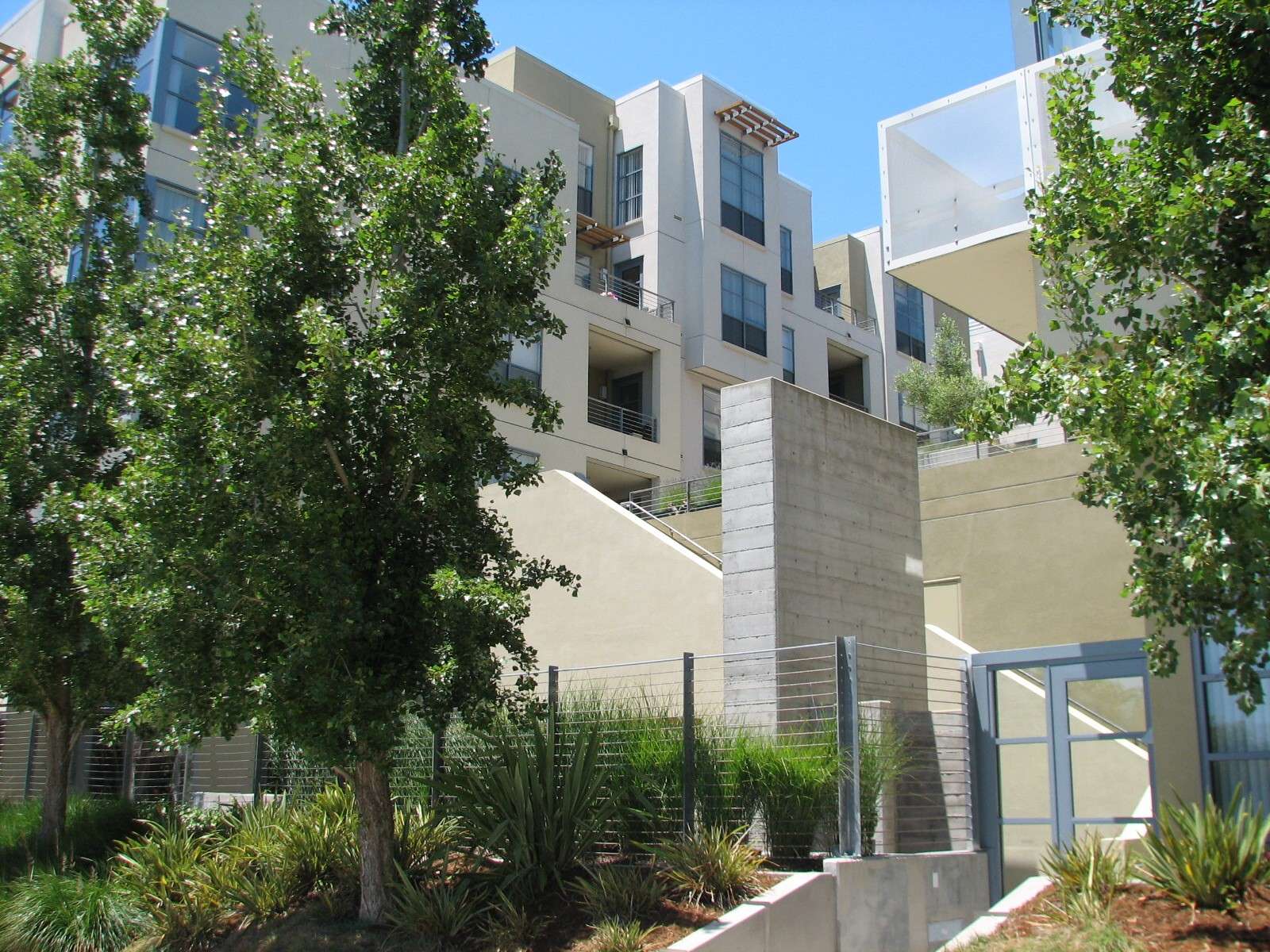
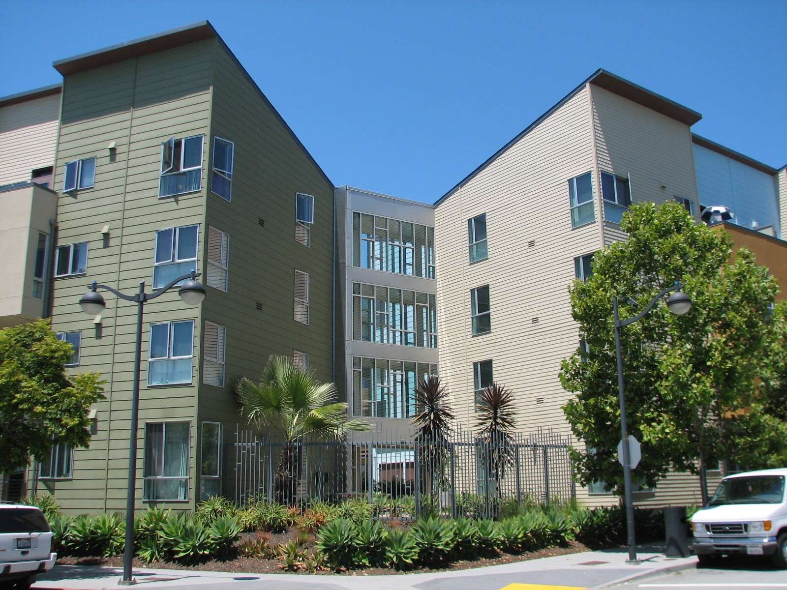
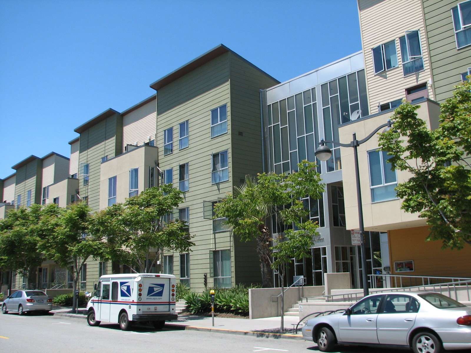
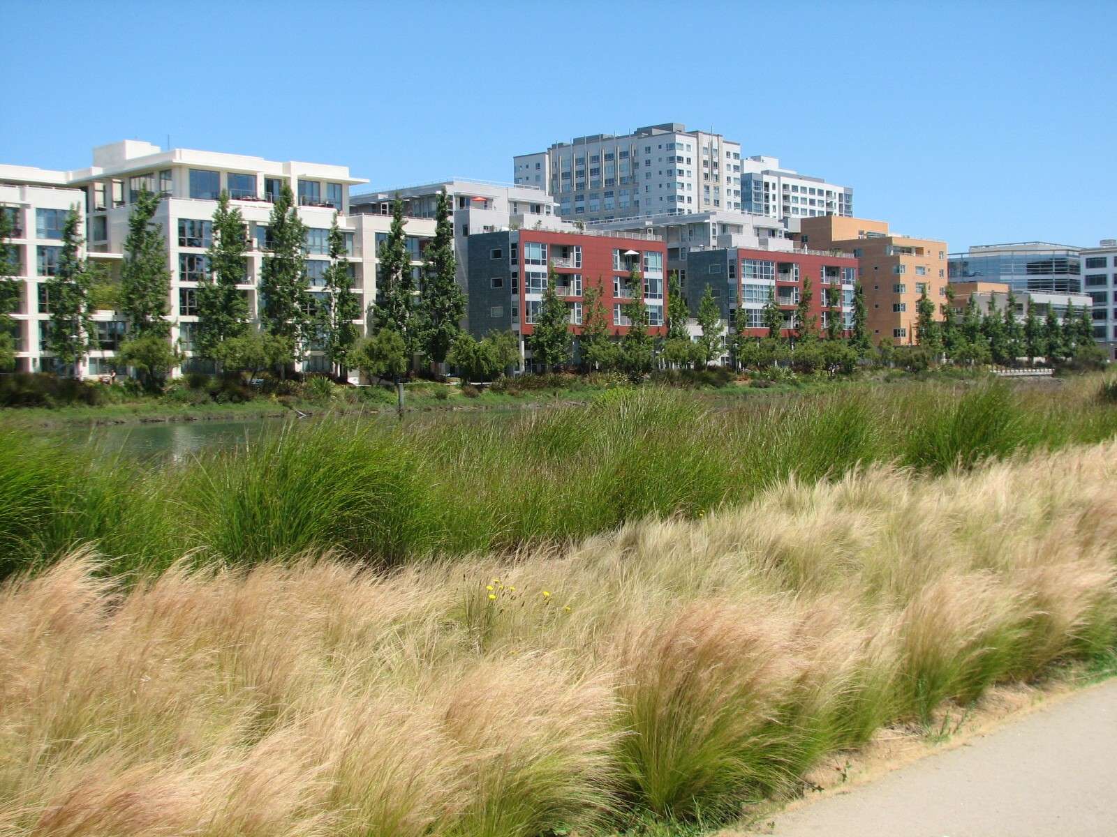
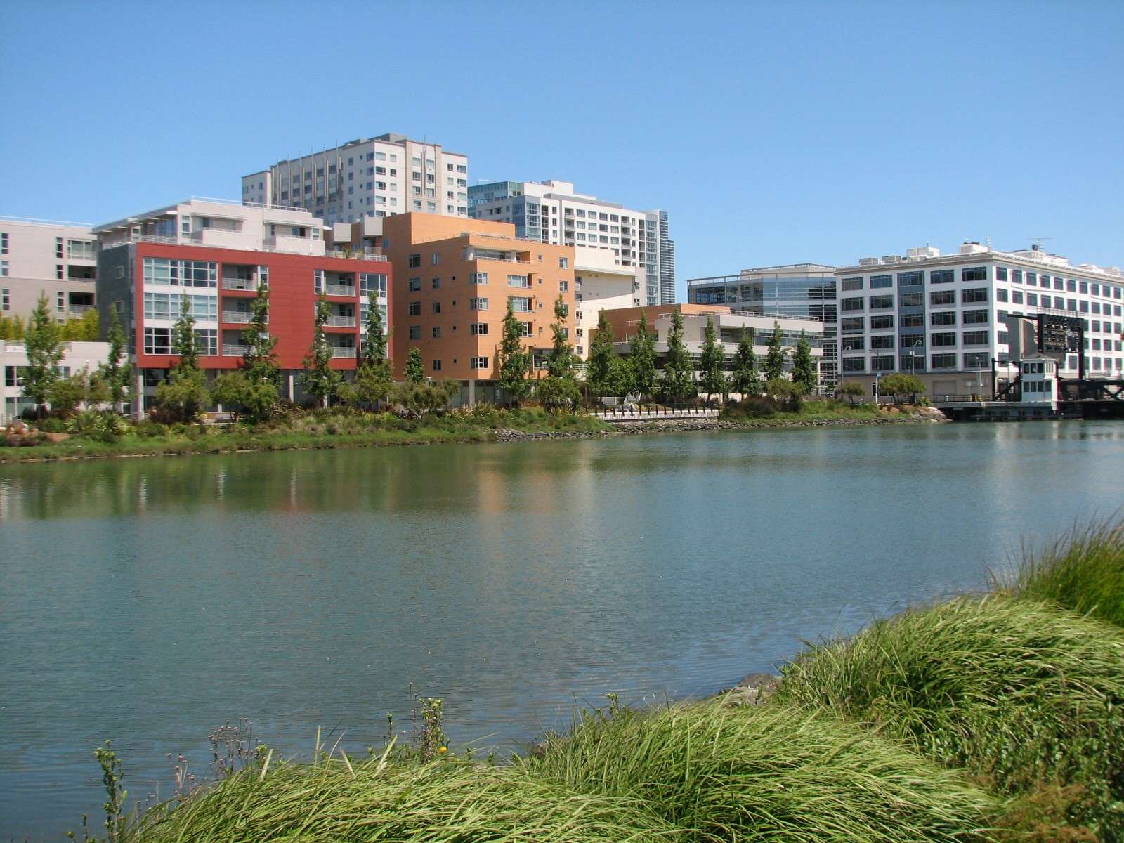
North shore of Mission Creek Channel:
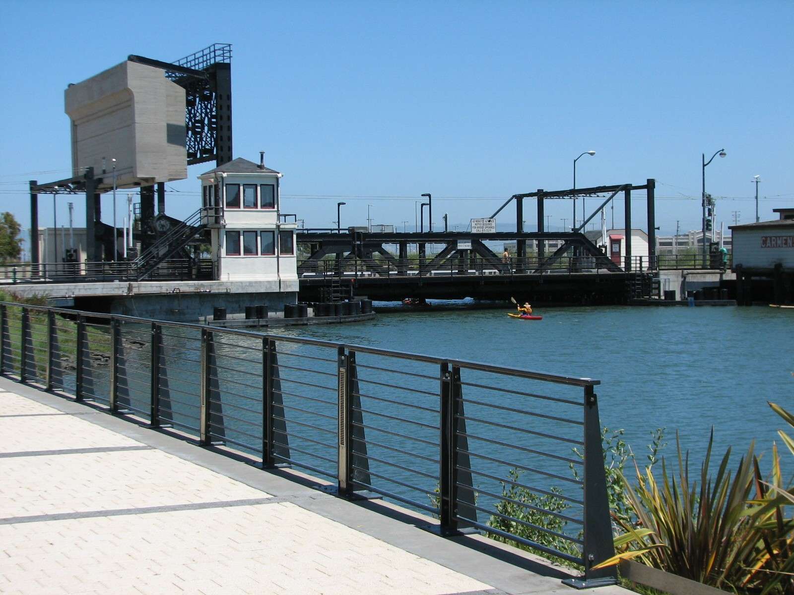
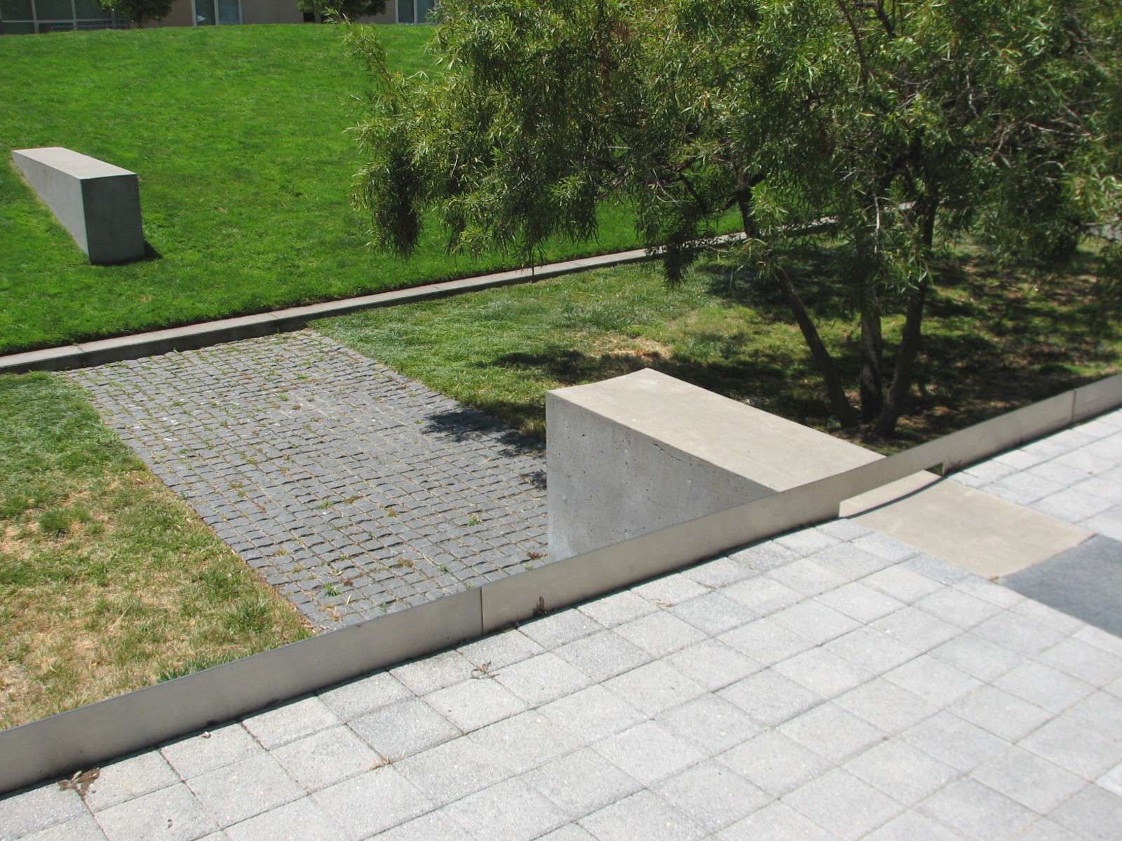
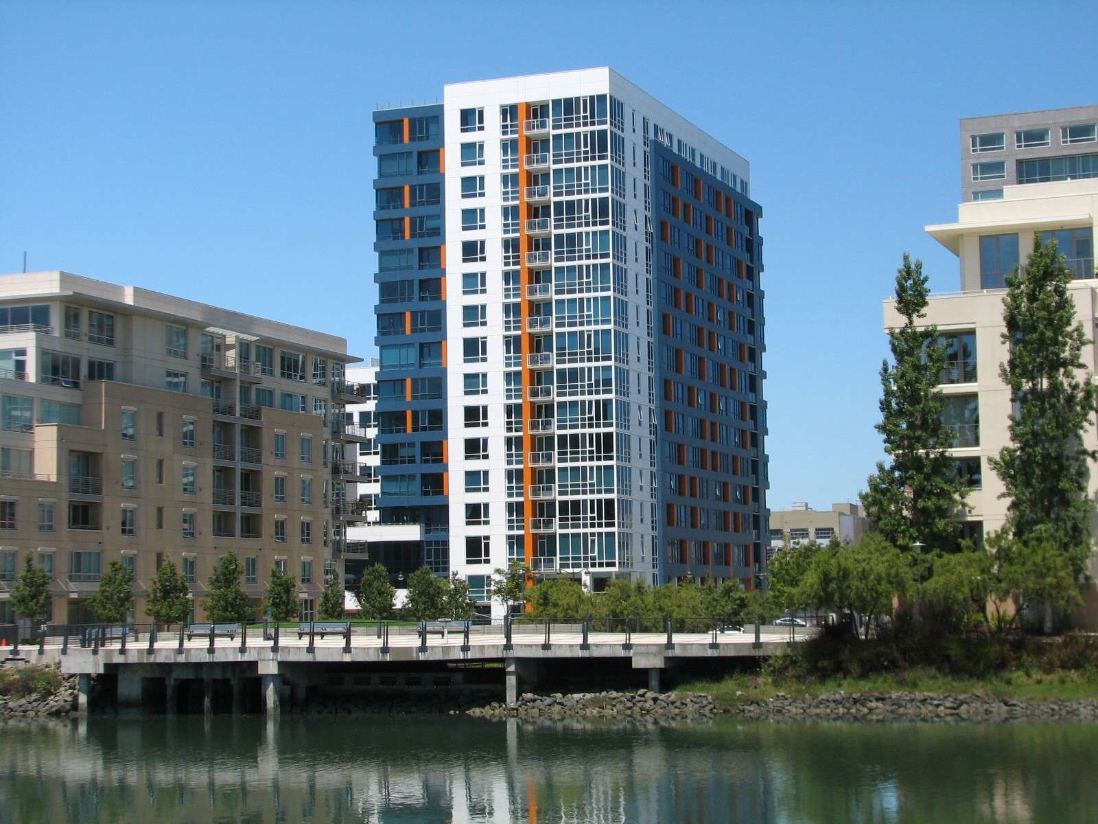
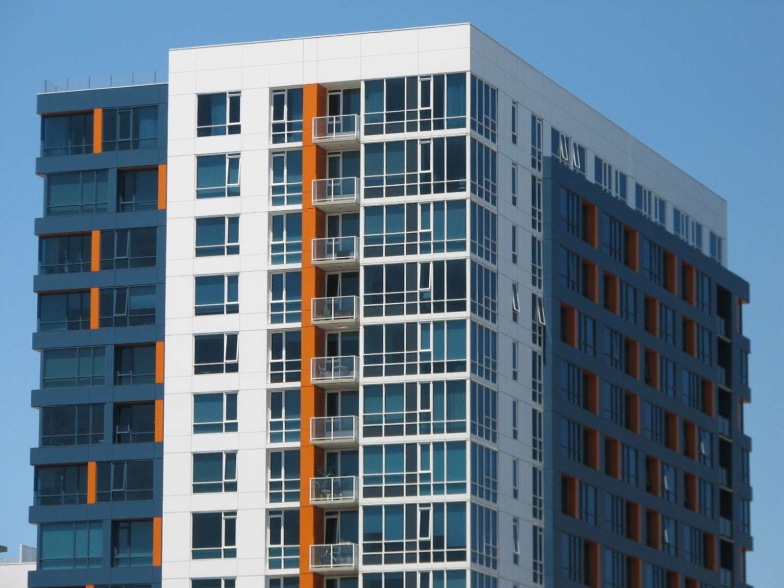
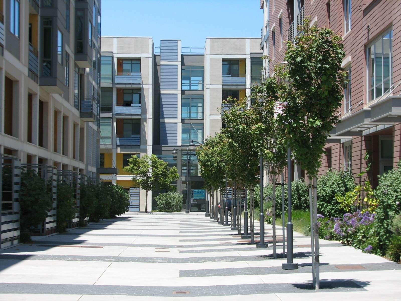
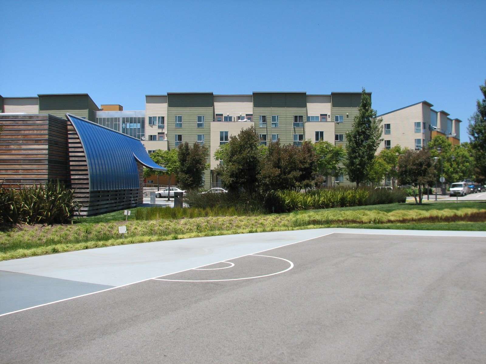
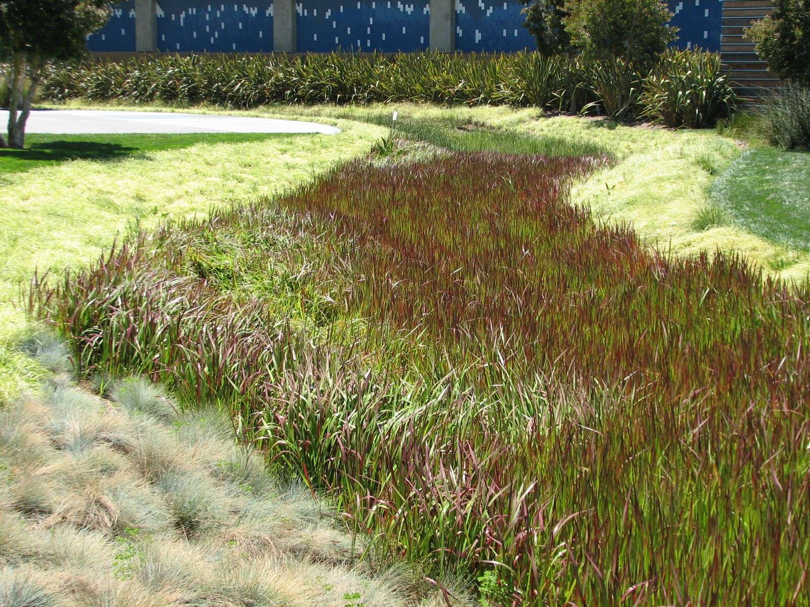
This area is primarily residential and is arranged in an area that is basically 4 large blocks along the shore by 2 blocks deep. Only half of one of the blocks is vacant in this nearly built-out section of the neighborhood. The shore features another small historic bridge (the light rail crosses the channel on it) and a linear pedestrian greenway that opens to a small block park midway along its length. Together, the park spaces are part of Mission Creek Park which will eventually surround the shore of the channel.

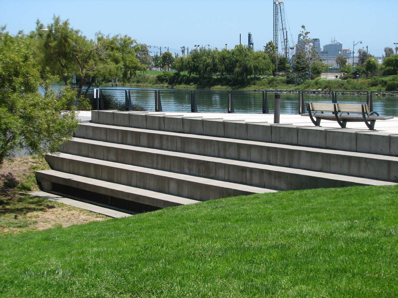
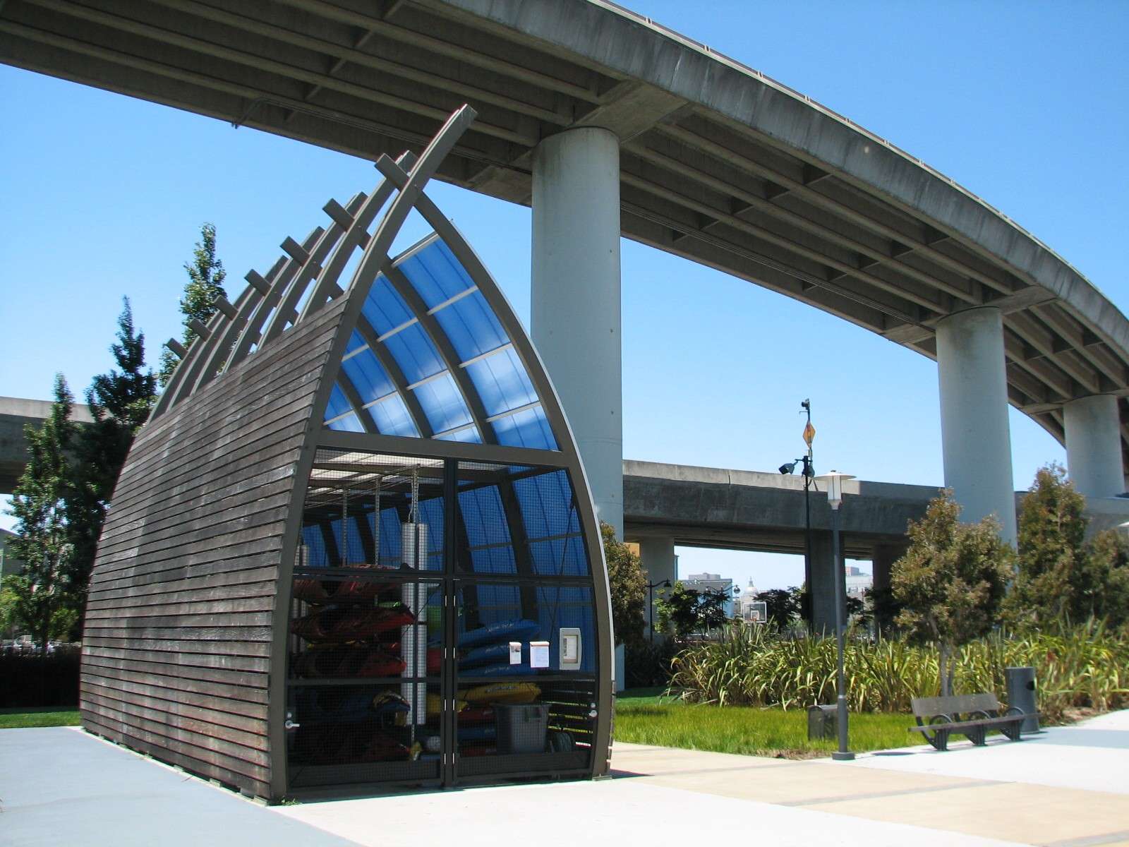
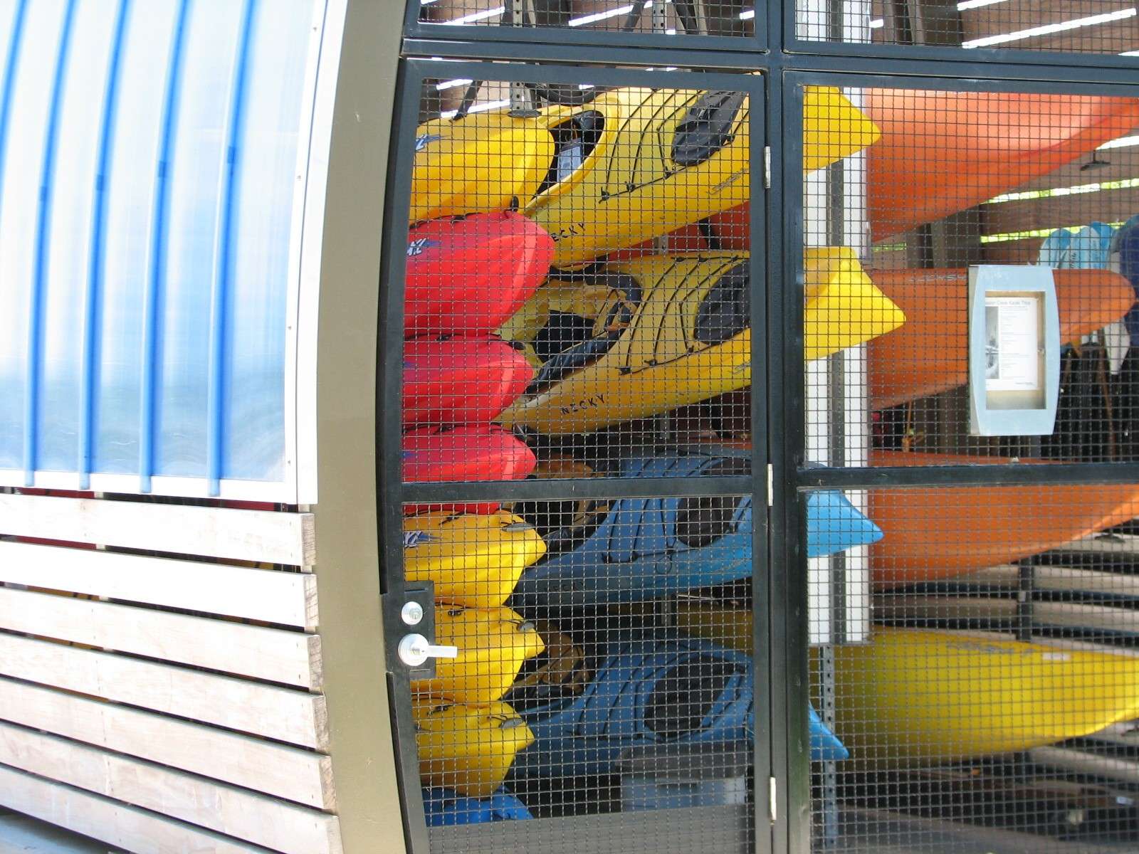
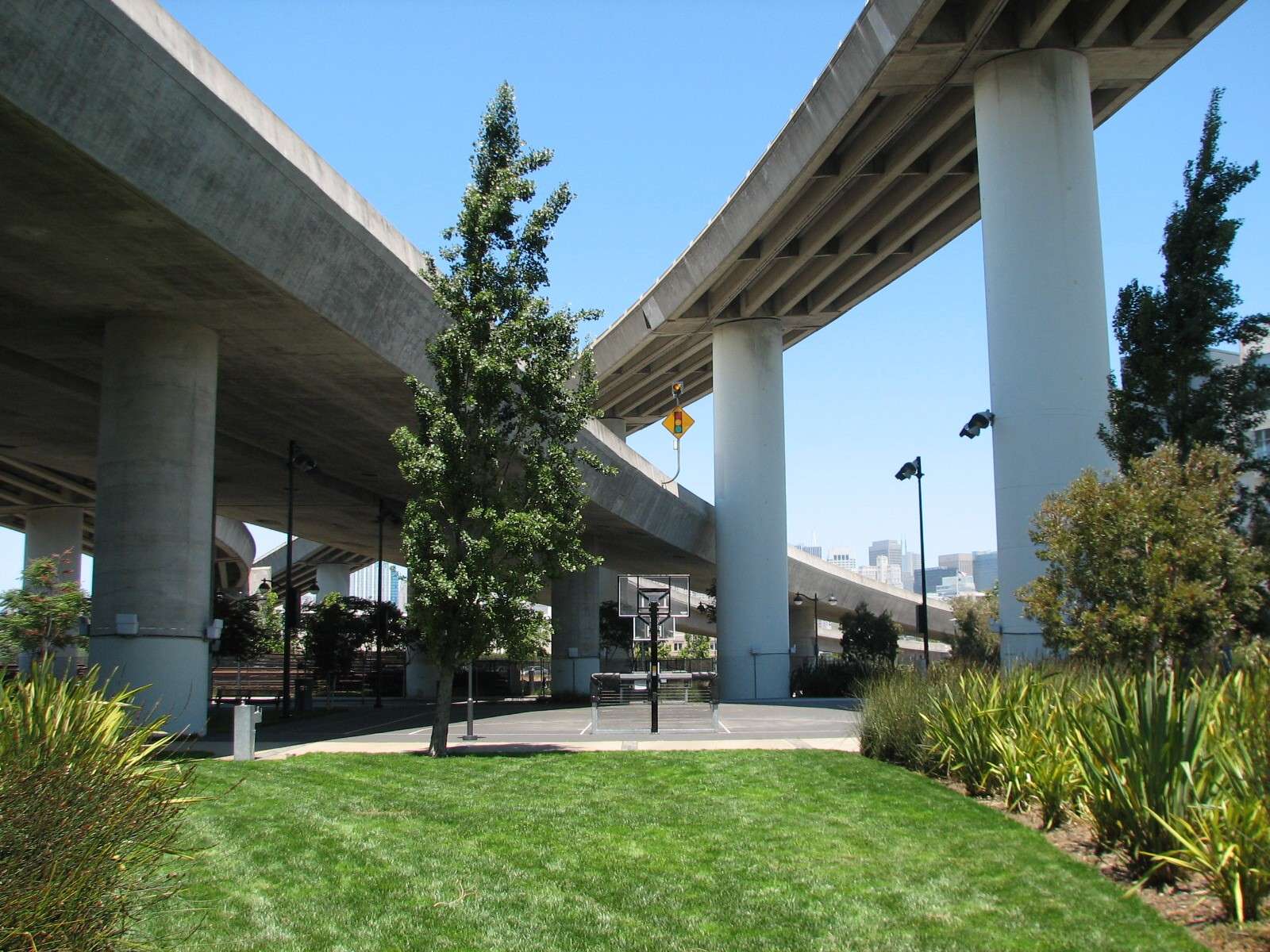
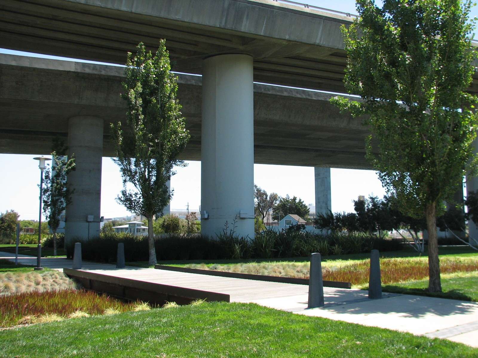
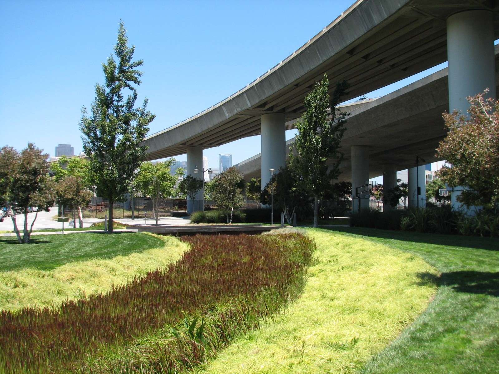
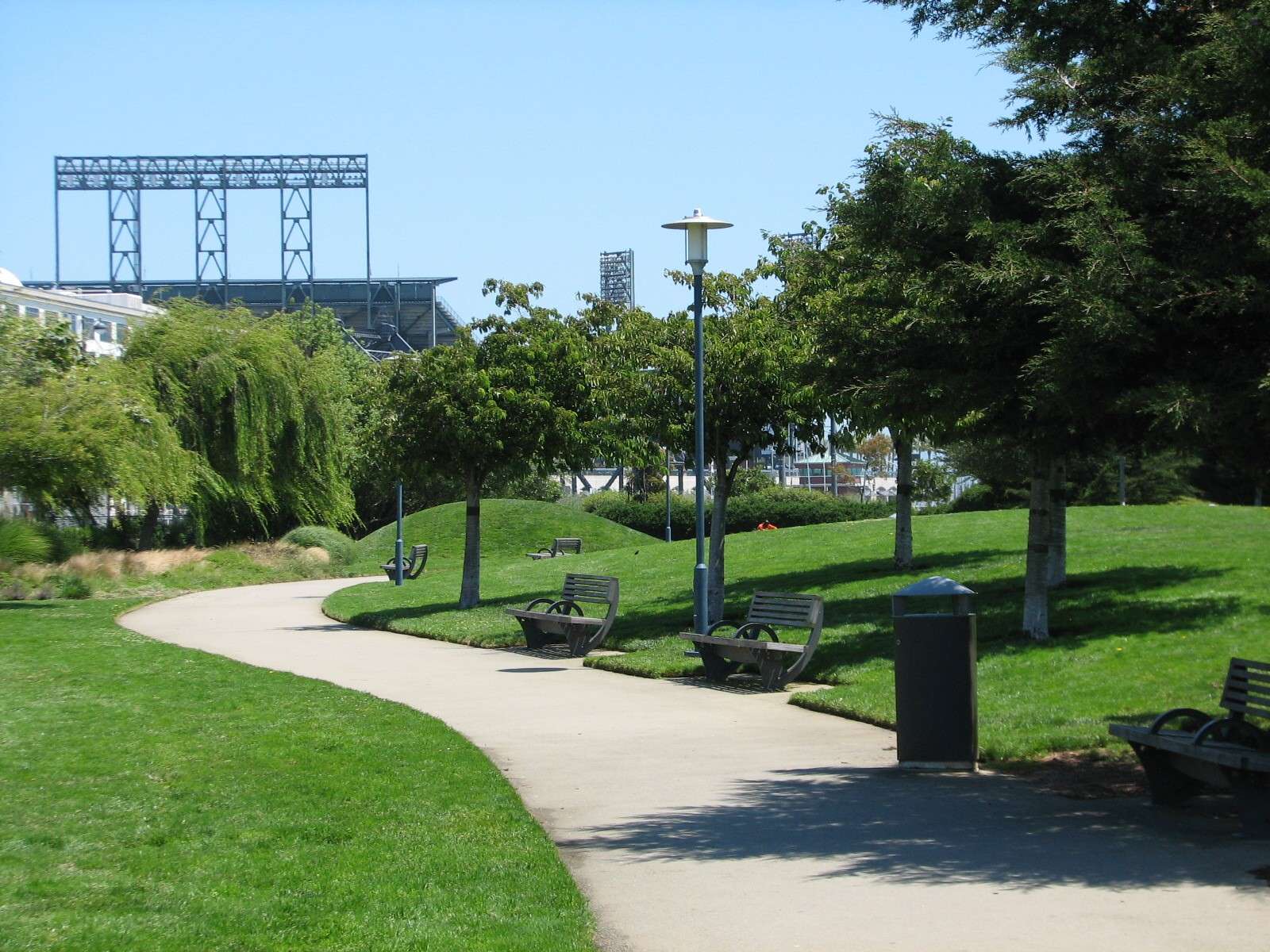
Mission Creek Park active recreation area:
The park widens in an area beneath a few freeway overpasses that isolate one more residential complex from the others at the end of the channel.
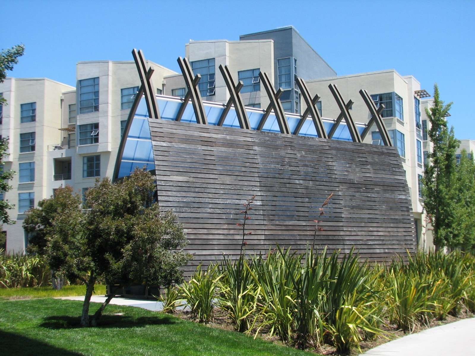
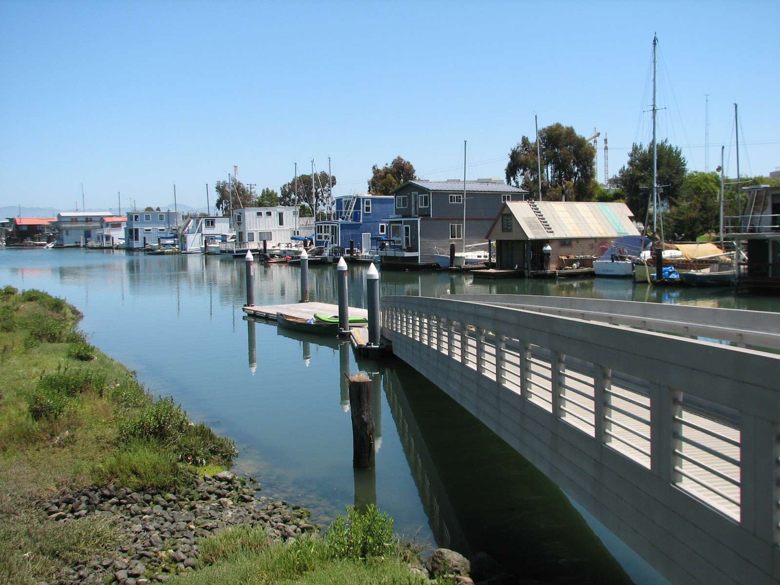
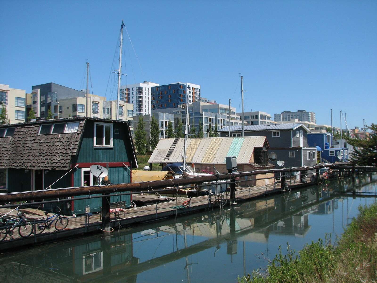
Houseboats:
These are docked on the South side of the channel and predate the current developments.
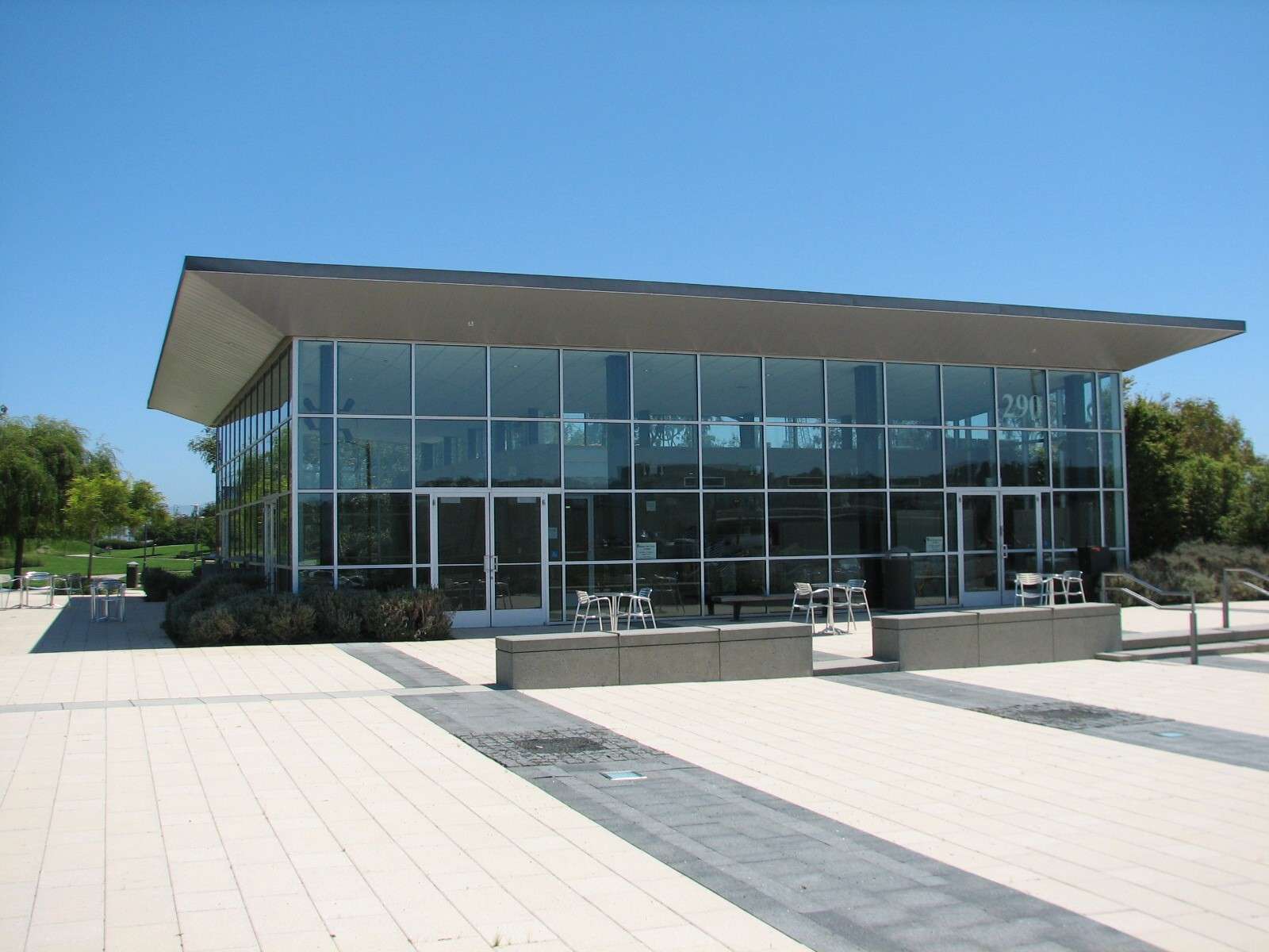
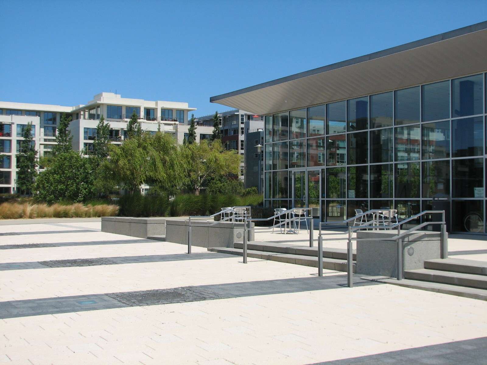
Mission Creek Park:
The parcel of this park that has been completed on the South side of the channel is currently a lonely pioneer whose small pavilion is awaiting new adjoining residential projects to start construction.
All photographs taken in 2011 by geomorph.


 Threaded Mode